Map
More from Tokyo

Stream and Skyline View, Shinjuku Gyoen National Garden, Tokyo
Shinjuku Gyoen National Garden covers about 58.3 hectares on land that once belonged to the Naito family, feudal lords under…

Yodobashi Camera Head Store Sign, Shinjuku, Tokyo
Yodobashi Camera's Head Store sits near the West Exit of Shinjuku Station, one of the busiest rail terminals in the…
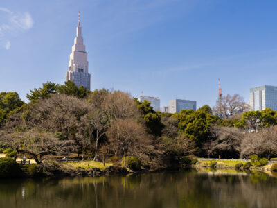
NTT Docomo Yoyogi Building Above Shinjuku Gyoen, Tokyo
Shinjuku Gyoen National Garden occupies land once held by the Naitō family, feudal lords under the Edo shogunate, before it…
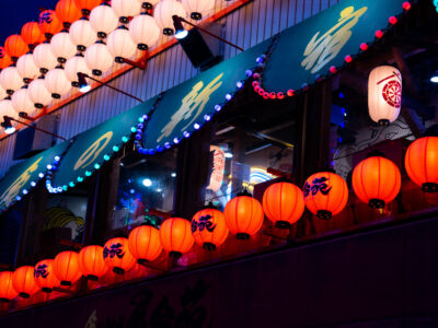
Paper Lanterns at a Kabukichō Izakaya, Shinjuku
Paper lanterns, called chōchin, hang in rows above this izakaya in Kabukichō, Shinjuku's nightlife district. The style dates back centuries,…

Piss Alley Omoide Yokocho Alley, Shinjuku, Tokyo
Omoide Yokocho, near Shinjuku Station's west exit, is a cluster of narrow alleys lined with tiny yakitori stalls and noodle…

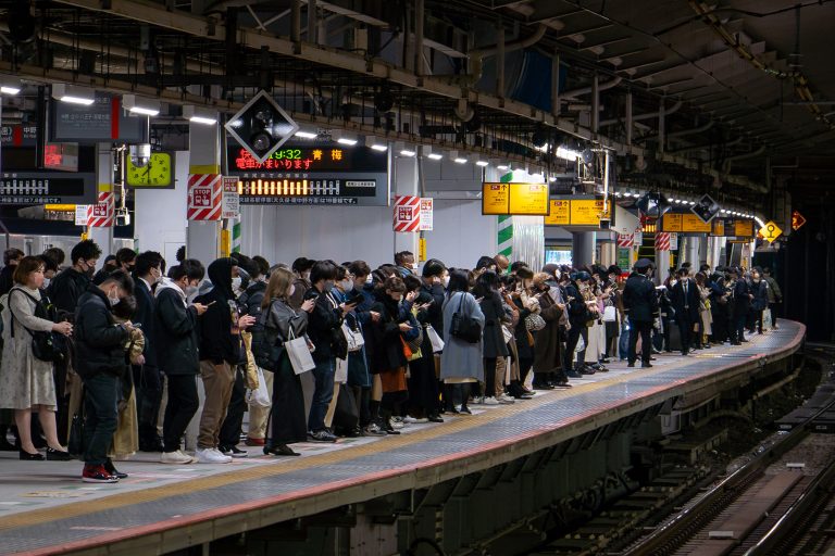
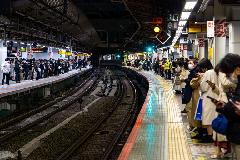
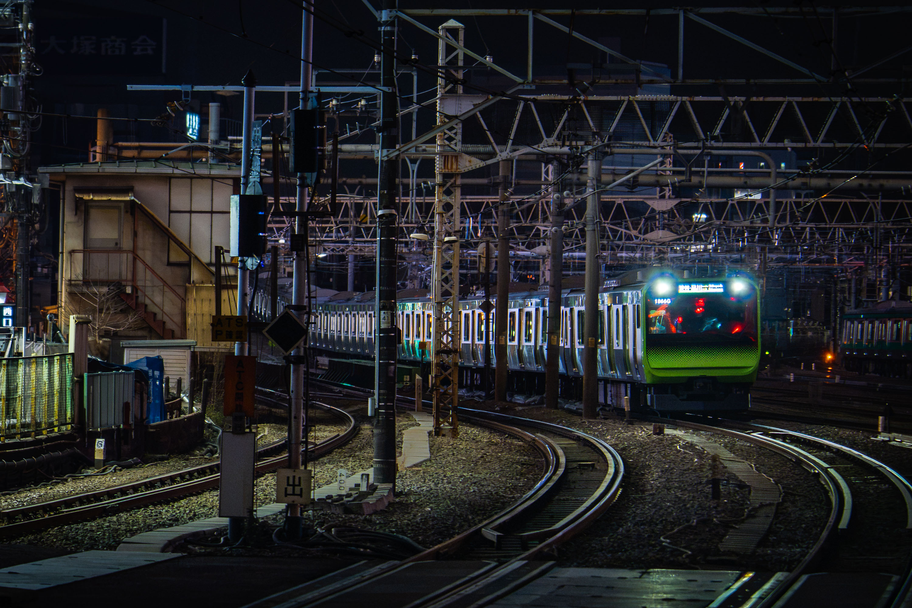
Commuters Wait on a Curved Platform at Shinjuku Station
Shinjuku Station handles roughly 3.5 million passengers a day, the busiest transit hub on the planet. The station serves multiple…
Nearby Photos