Gravel Forest Road in Autumn, Superior National Forest
Taken September 2024
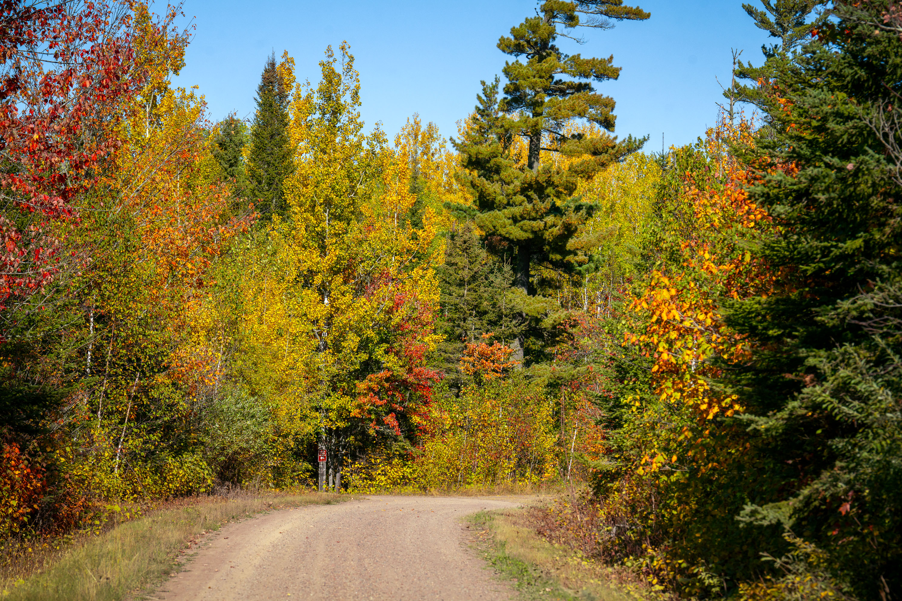
Superior National Forest covers more than 3 million acres of northeastern Minnesota, making it the largest national forest east of the Mississippi River. The Forest Service manages the land for timber, recreation, and wildlife habitat, with birch and aspen stands turning gold and orange each September alongside stands of red and white pine. Gravel and dirt roads, many built originally for logging access, crisscross the forest and remain open to the public for driving, hiking, and hunting. The forest also contains the Boundary Waters Canoe Area Wilderness along its northern edge, one of the most visited wilderness areas in the country.
Taken September 2024
More from
Superior National Forest
 Sunset clouds in National Forest
Sunset in the Superior National Forest in Northern Minnesota.
 Lakeside Cabin, McFarland Lake, Arrowhead Trail, Minnesota
McFarland Lake sits along the Arrowhead Trail, a county road in Cook County near Grand Portage in far northeastern Minnesota.…
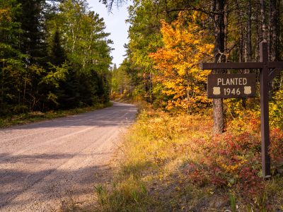 Stony River Road in Superior National Forest
, Minnesota, curves through mixed forest in early autumn. A roadside sign marks a…
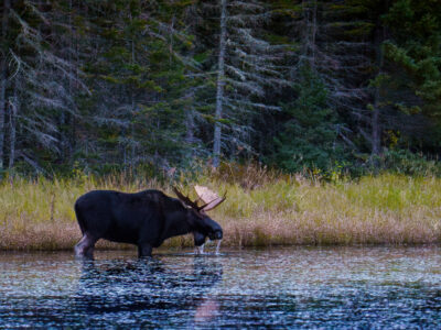 Moose Drinks Water in Superior National Forest, Minnesota
A bull moose stands in the shallow water of a lake in the Superior National Forest, Minnesota, drinking in October…
 1958 Forest Service Bridge Plaque, Superior National Forest
The U.S. Forest Service, part of the Department of Agriculture, builds and maintains bridges, culverts, and other infrastructure across the…
 Campfire safety sign in Superior National Forest
A campfire safety sign stands in Superior National Forest in Stony River Township, Minnesota. The sign reads, “Wanted your campfire…