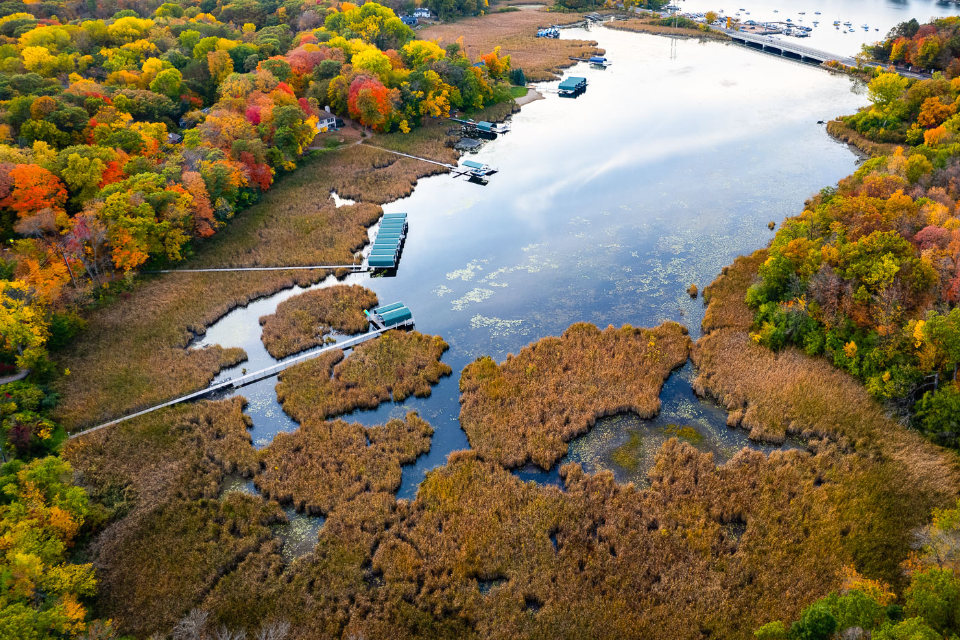
This aerial view looks over one of Lake Minnetonka’s shallow eastern bays, where a broad wetland of cattails and floating vegetation meets a line of private docks and covered boat slips. These marshy inlets are among the lake’s most ecologically important areas, filtering runoff, supporting migratory birds, and preserving habitat that once covered far more of the shoreline before 20th-century dredging and residential development. The fall canopy surrounding the bay shows the mix of hardwoods common in the Deephaven and Greenwood areas, with red maples, oaks, and ash trees creating a dense belt of color around the water. Farther in the distance, the channel and bridge leading toward Carson’s Bay hint at the lake’s extensive network of connected basins, many of which were linked by canals built in the late 1800s to support early resort traffic.
Photo taken in October 2022.