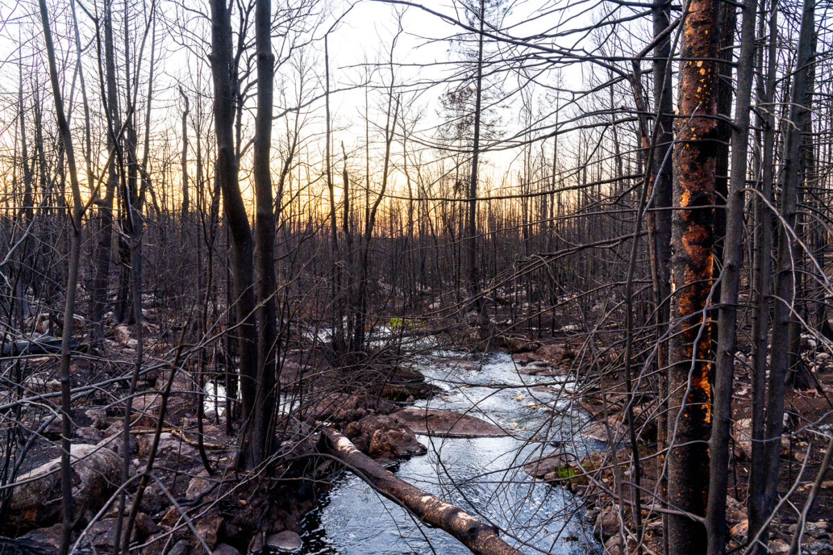
West Baptism River, Superior National Forest, Minnesota
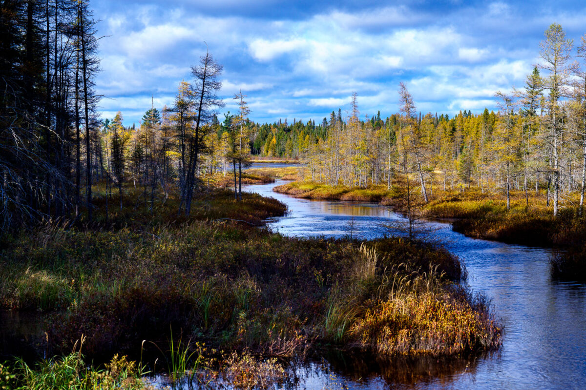
October 2024 — The West Baptism River near the town of Isabella in Northern Minnesota, Superior National Forest.
Explore photos tagged Superior National Forest.
October 2024 — The West Baptism River near the town of Isabella in Northern Minnesota, Superior National Forest.
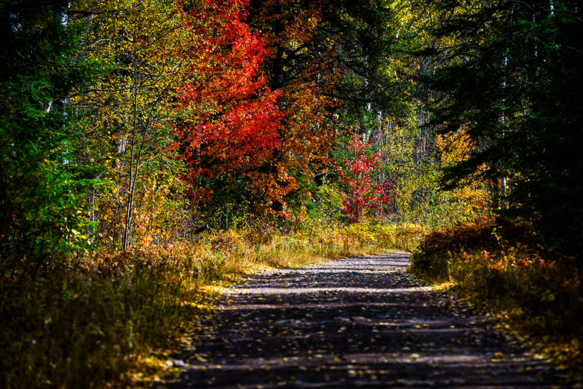
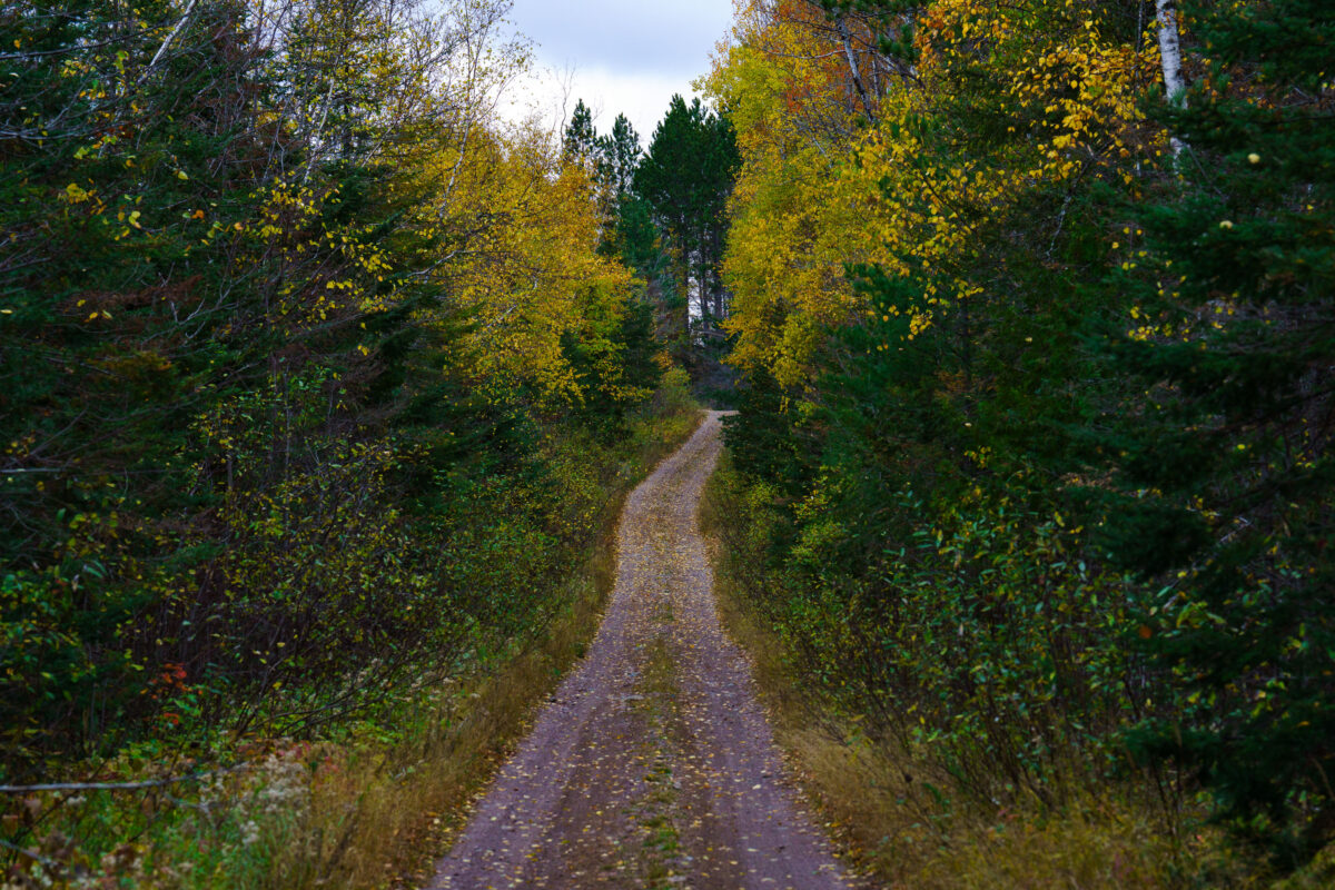
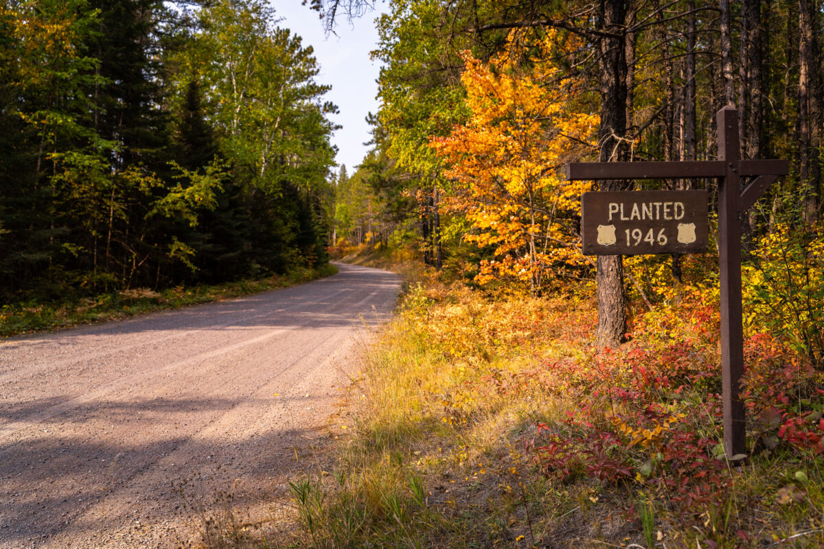
October 2024 — A forest road during fall up in the Superior National Forest in Northern Minnesota.
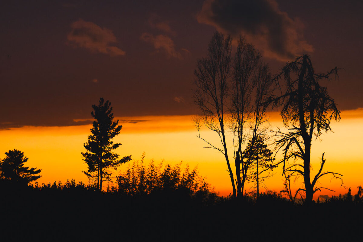
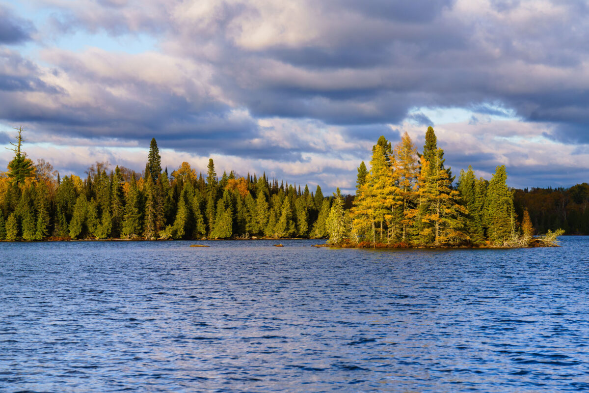
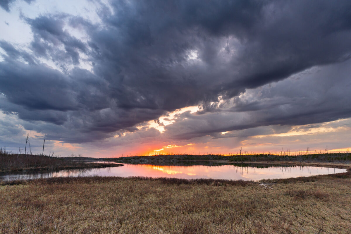
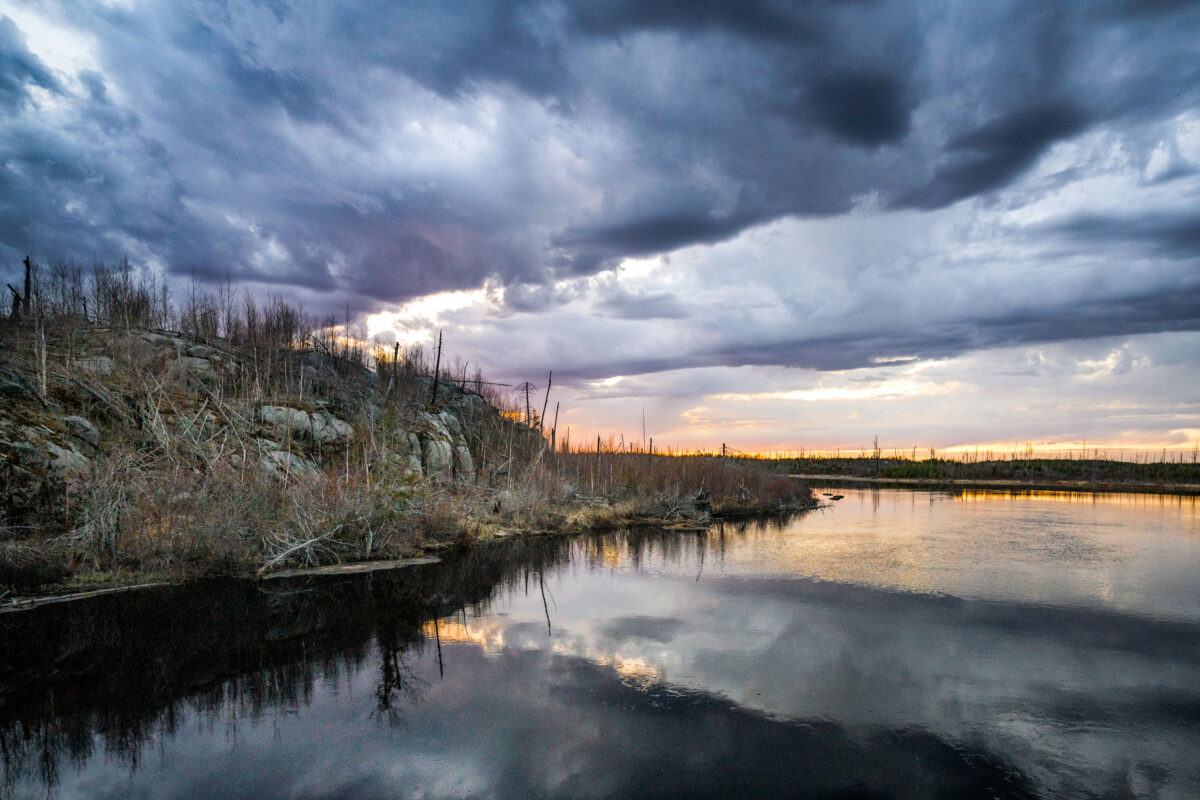
October 2024 — Sunset in the Superior National Forest in Northern Minnesota.
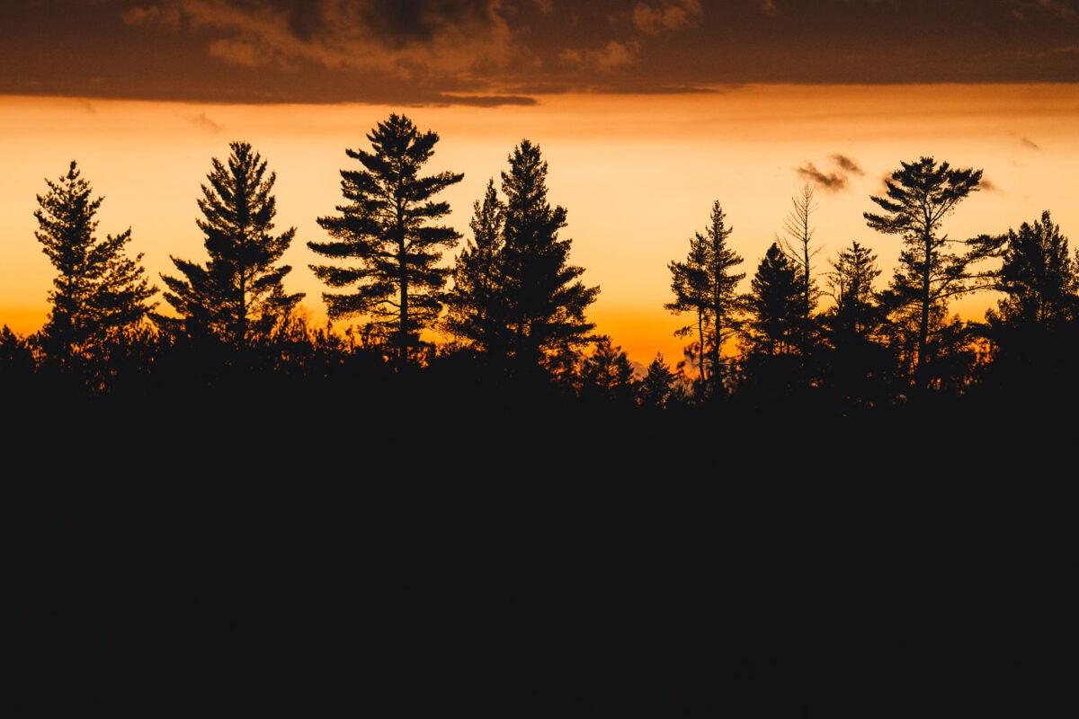
October 2024 — Sunset in the Superior National Forest in Northern Minnesota.
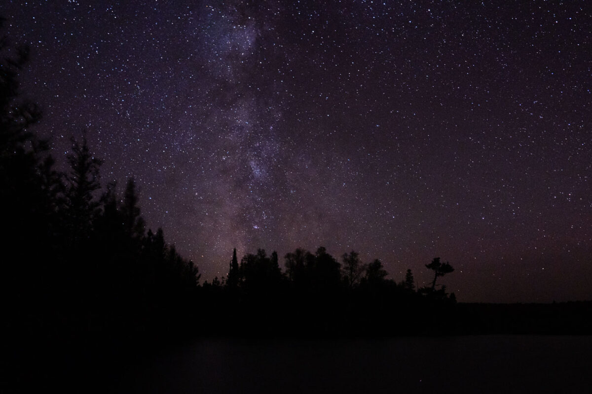
October 2024 — Clear skies and stars in the Superior National Forest near BWCA.
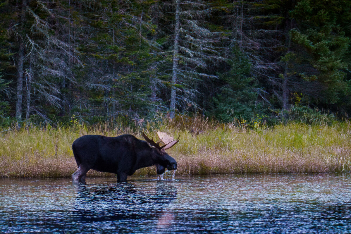
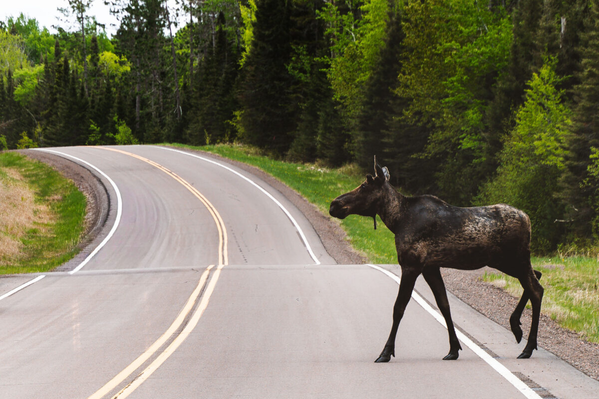
October 2023 — A moose in the water in the Superior National Forest in October 2023.
October 2023 —
October 2023 —
October 2023 —
October 2023 —
October 2023 —
October 2023 —
October 2023 —
October 2023 —
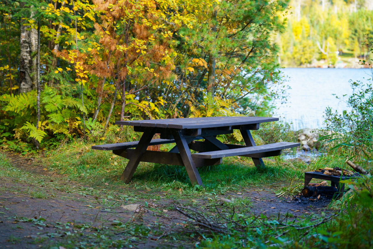
October 2022 — Gunflint Trail picnic table.
October 2021 —
September 2021 —
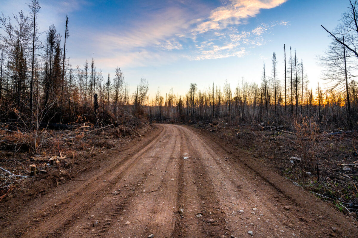
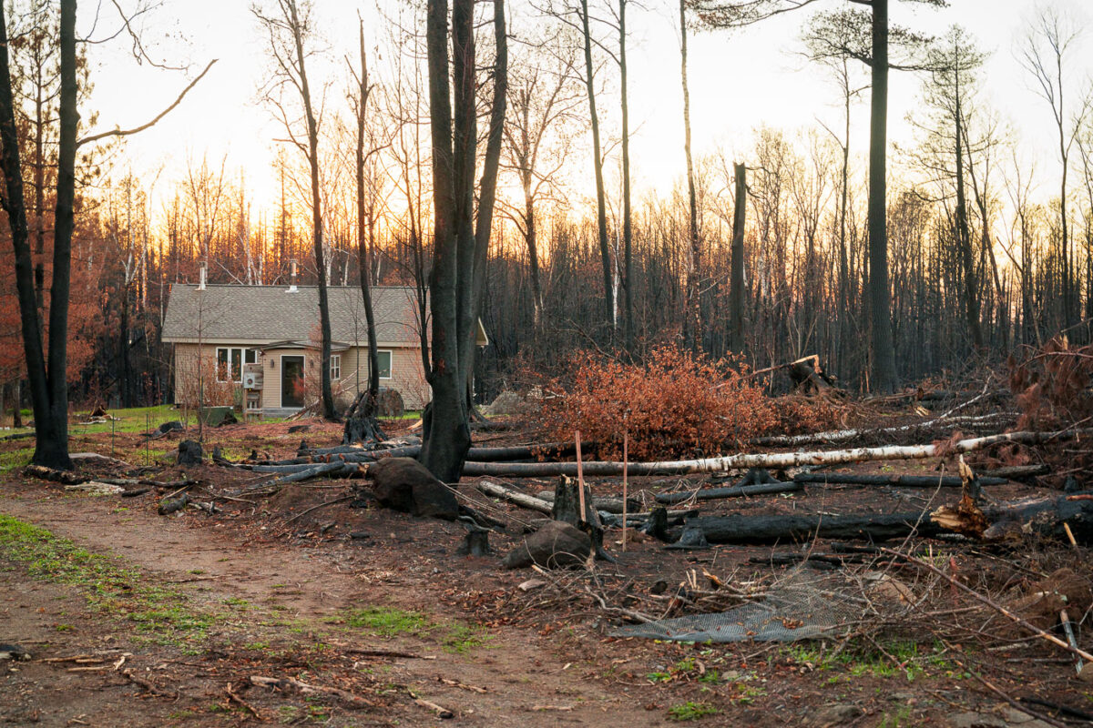
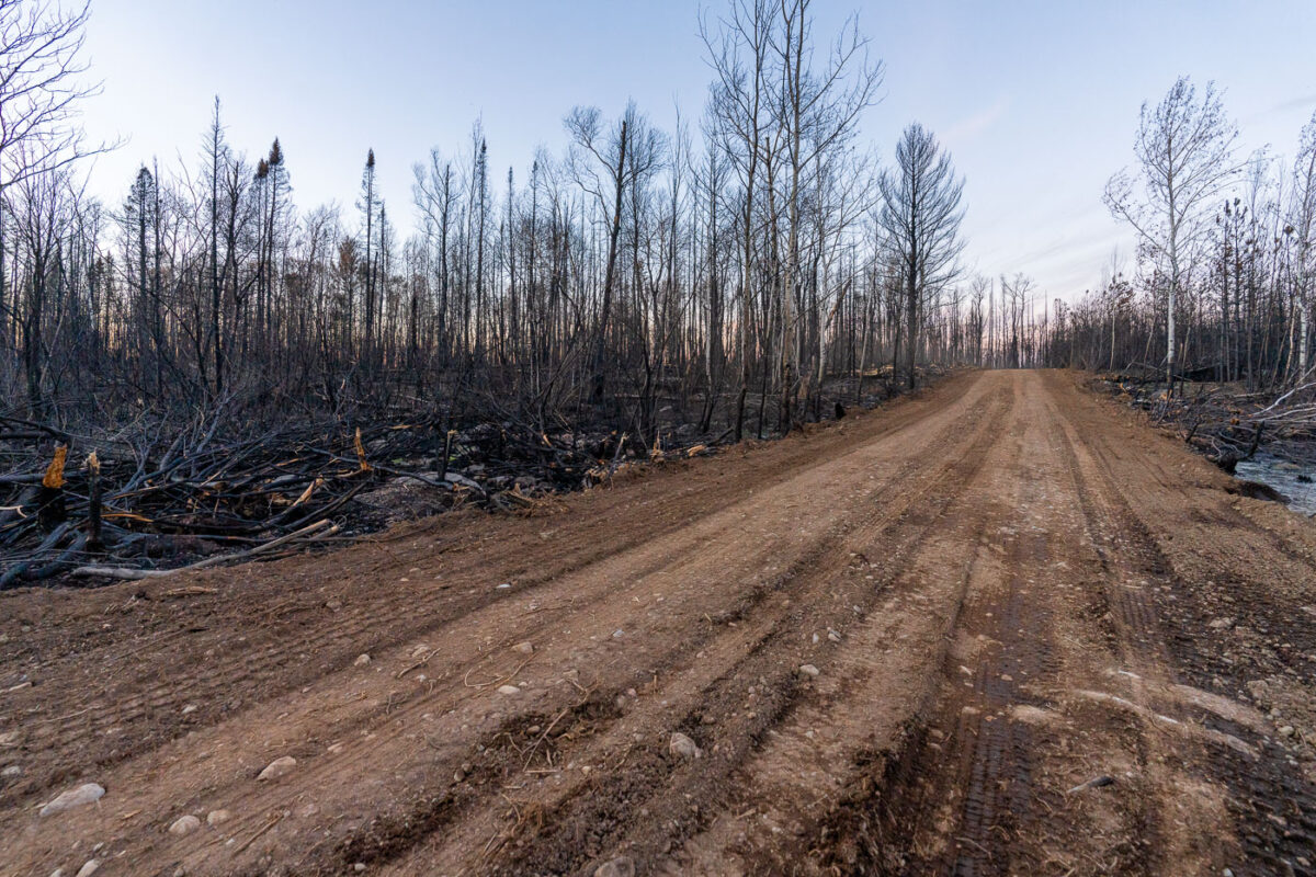
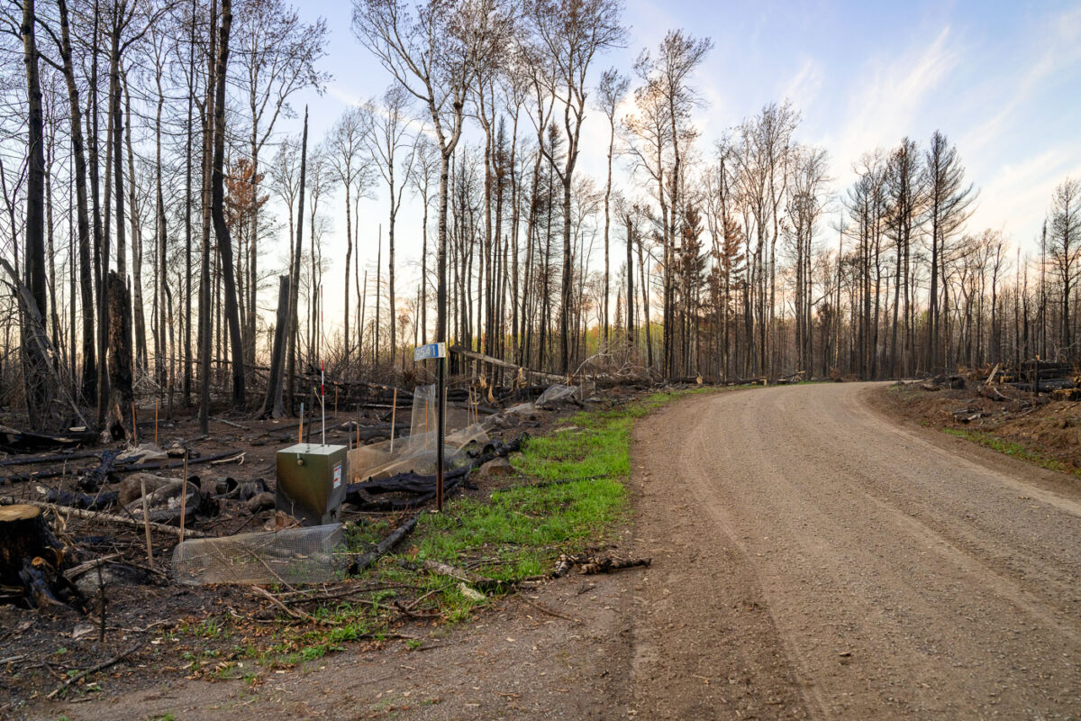
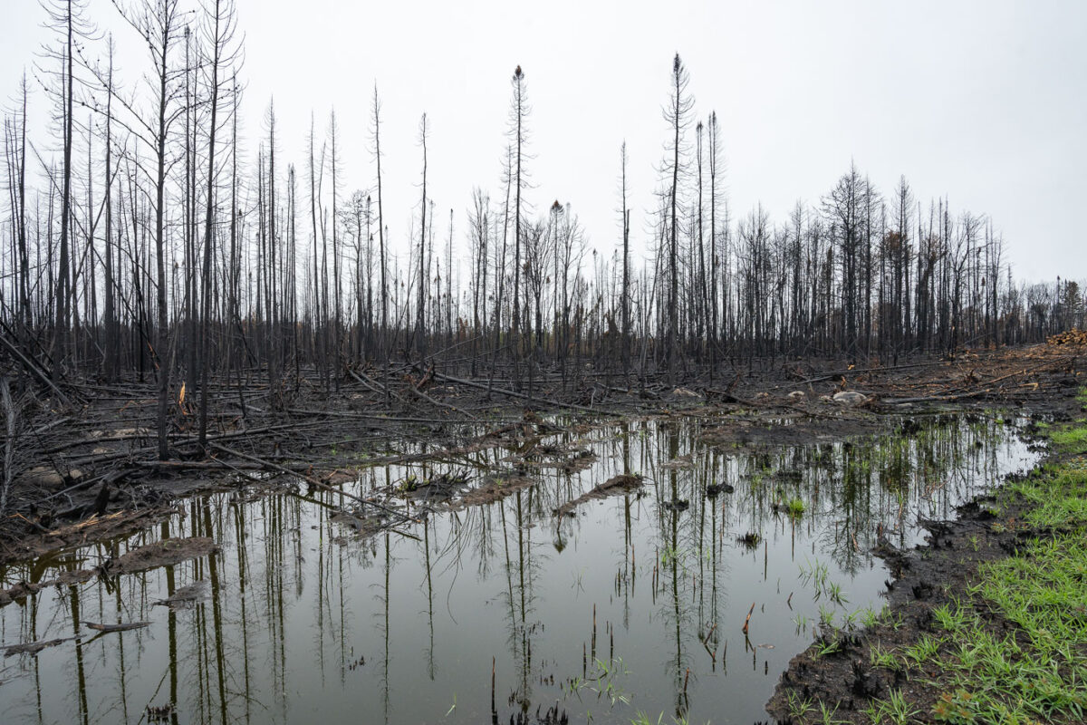
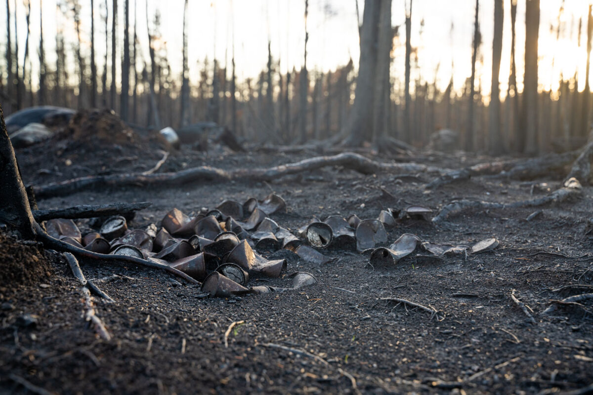
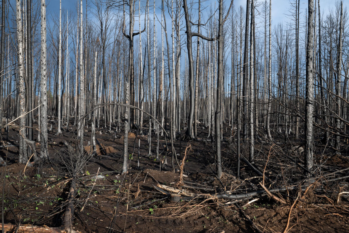
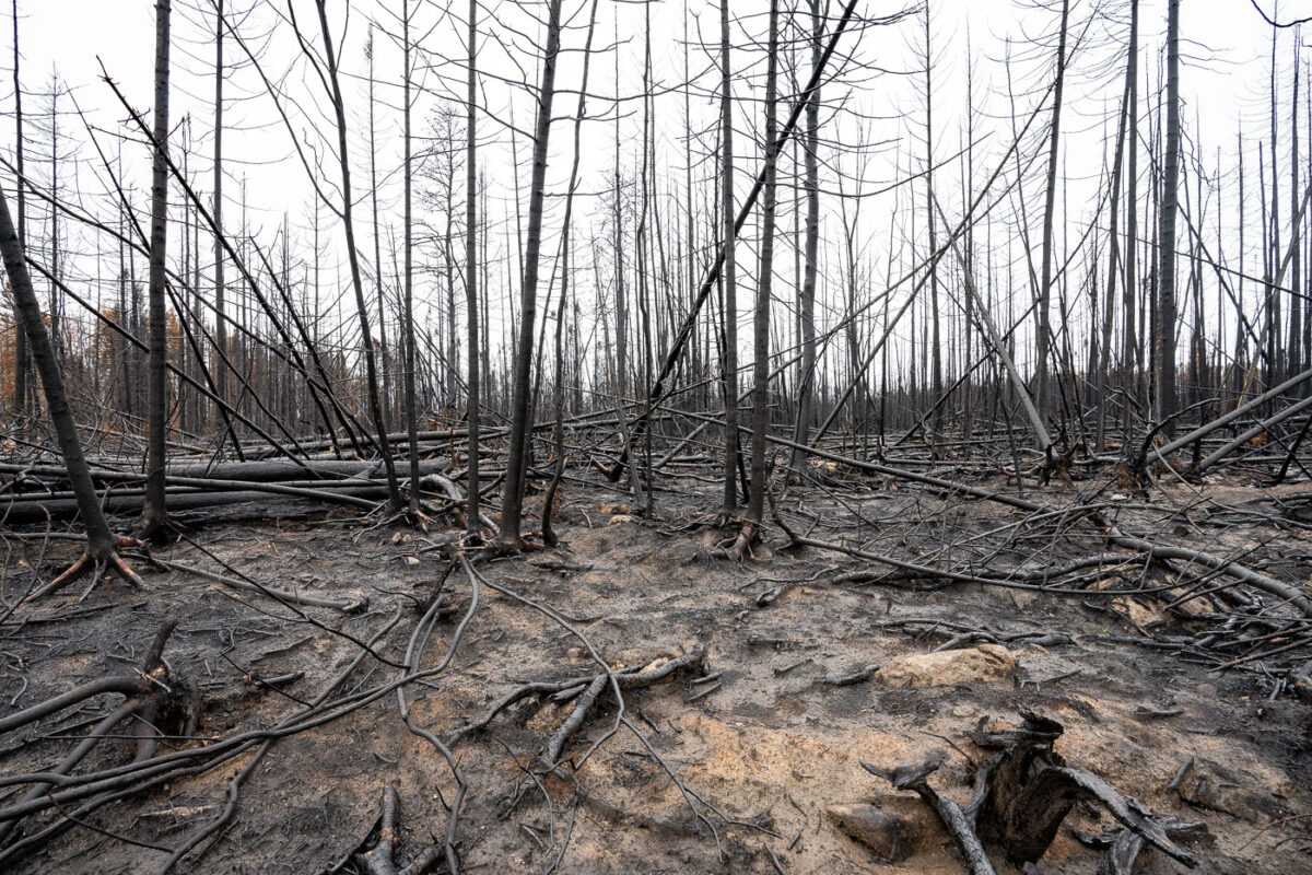
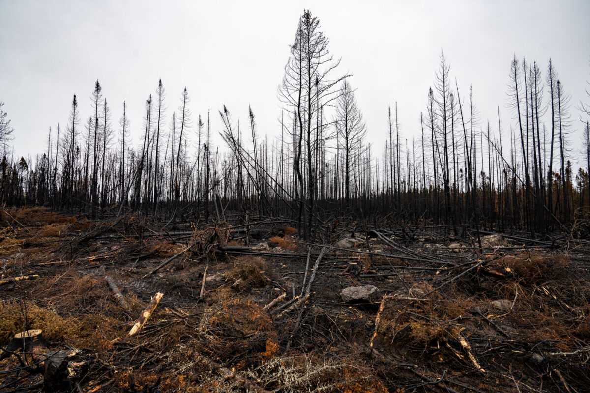
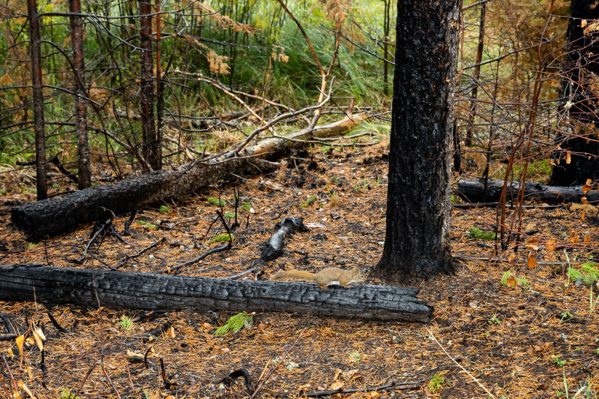
September 2021 — A Forest Service road winds through the burn scar of the 2021 Greenwood Fire in northeastern Minnesota, where charred trunks and open sightlines reveal the scale of the blaze that ultimately consumed more than 27,000 acres of Superior National Forest. The fire began in August 2021 after a lightning strike ignited drought-stressed timber, rapidly expanding under unusually dry and windy conditions. At its peak, roughly 500 firefighters, support staff, and aerial crews worked to protect cabins, roads, and the nearby communities spread across Lake County. This photograph was made inside the restricted closure zone during the period when the U.S. Forest Service still had nearly 100 personnel assigned to monitoring, repair work, and suppression repair. The skeletal tree canopy and exposed soil illustrate the early stages of ecological recovery—an ongoing process that will shape this section of the Northwoods for decades.
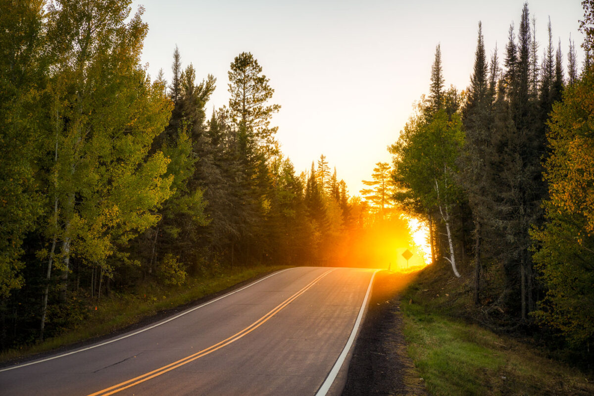
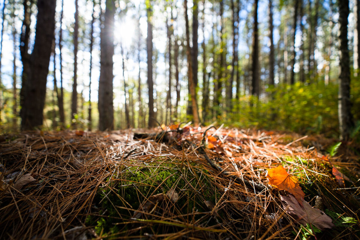
September 2021 — A stretch of forest road in Superior National Forest glows with intense backlight as the sun drops behind the pines, illuminating early-autumn leaves and sending a warm haze across the pavement. This part of the forest lies within the vast Northwoods region of northeastern Minnesota, where mixed stands of birch, aspen, and conifers line quiet two-lane roads leading toward trailheads, lakes, and remote campgrounds. The soft golden light, drifting insects, and dense treeline capture the transition from late summer to fall in one of Minnesota’s most expansive public landscapes—an area managed for recreation, wildlife habitat, and long-term conservation.
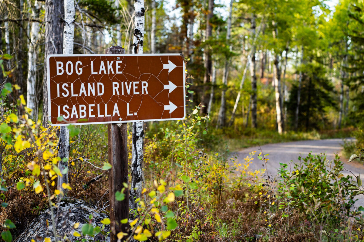
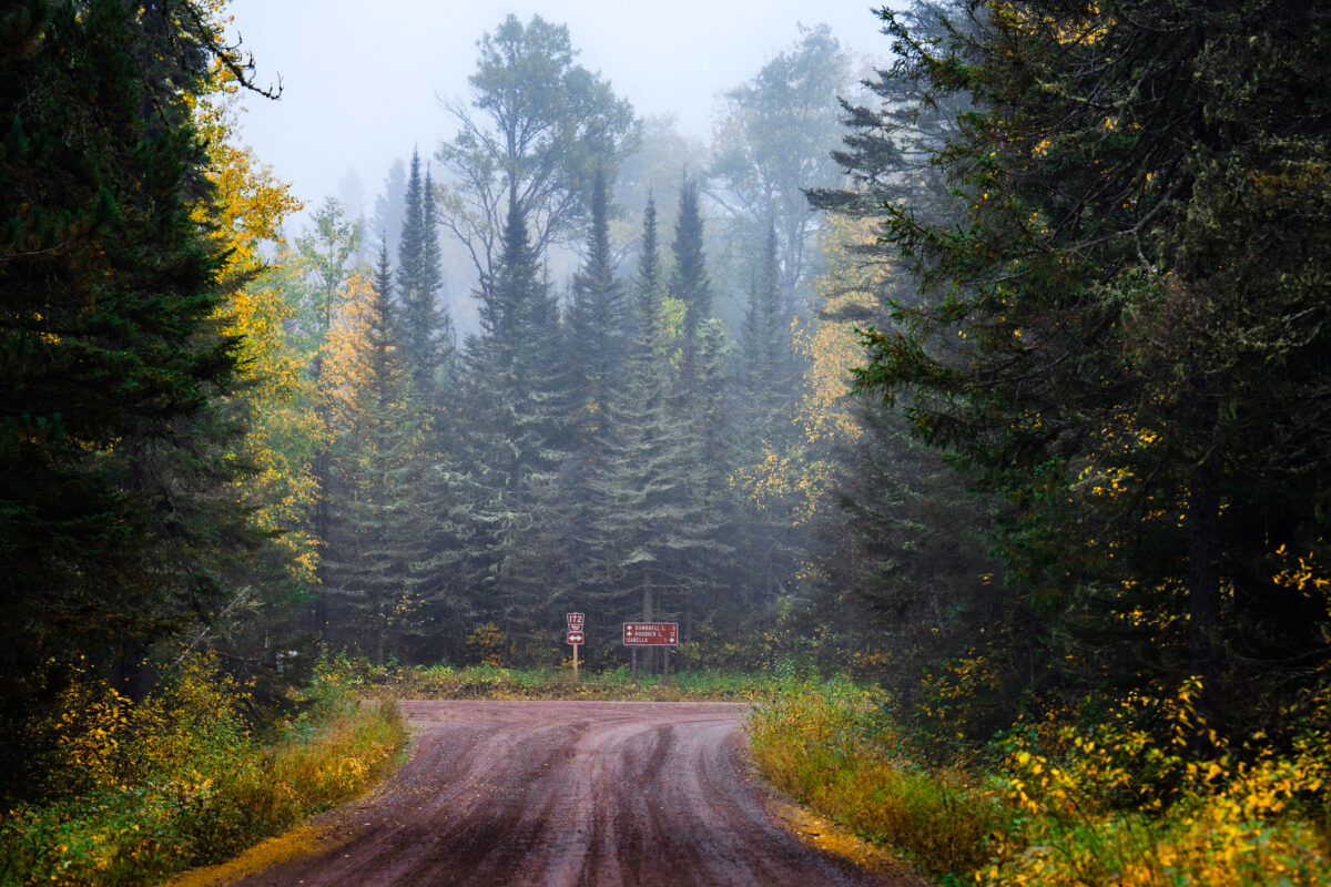
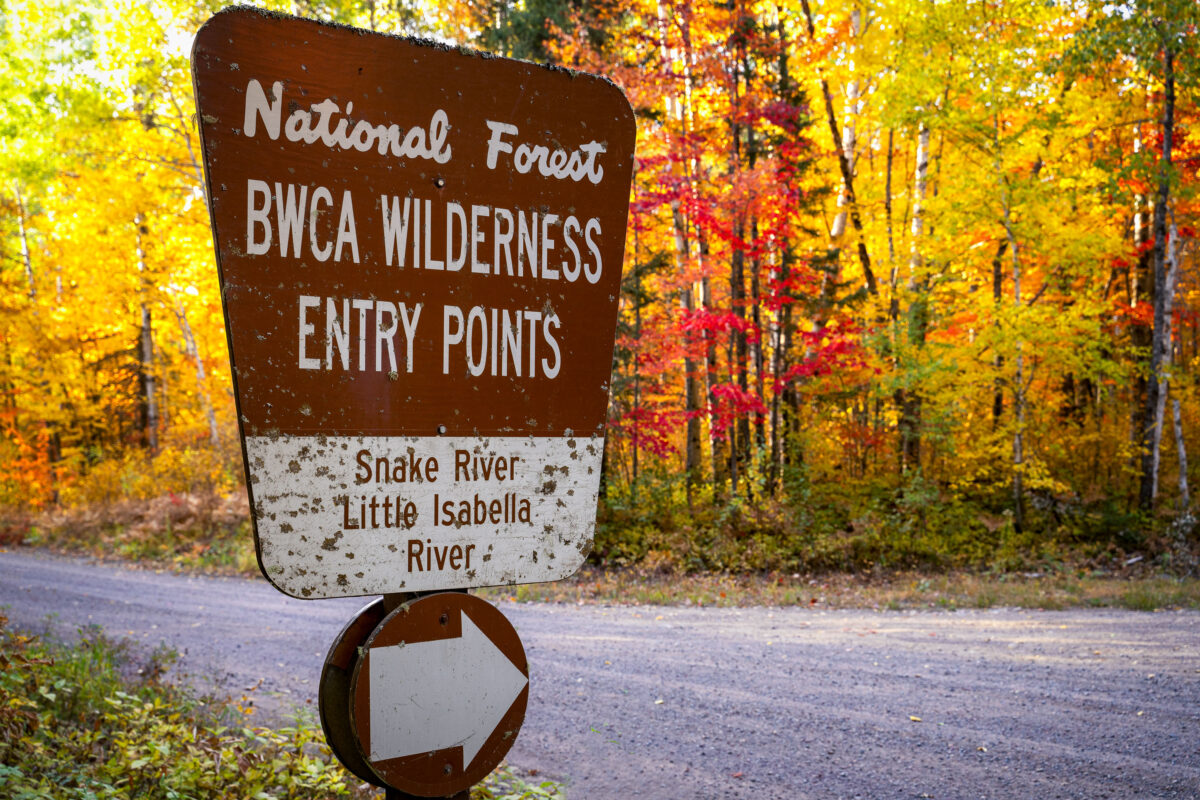
September 2021 — A weathered brown U.S. Forest Service directional sign marks the turnoff for Bog Lake, the Island River, and Isabella Lake within Superior National Forest in northern Minnesota. These destinations sit along a network of remote gravel roads east of Ely and north of Isabella, an area known for its mixed pine–birch forest, quiet canoe routes, and access to the Boundary Waters Canoe Area Wilderness. The cracked reflective surface of the sign hints at decades of harsh winters and summer sun, while the surrounding understory—changing with early autumn color—reflects the rugged, lightly traveled character of this part of the Northwoods.
September 2021 —
September 2021 —
September 2021 —
September 2021 —
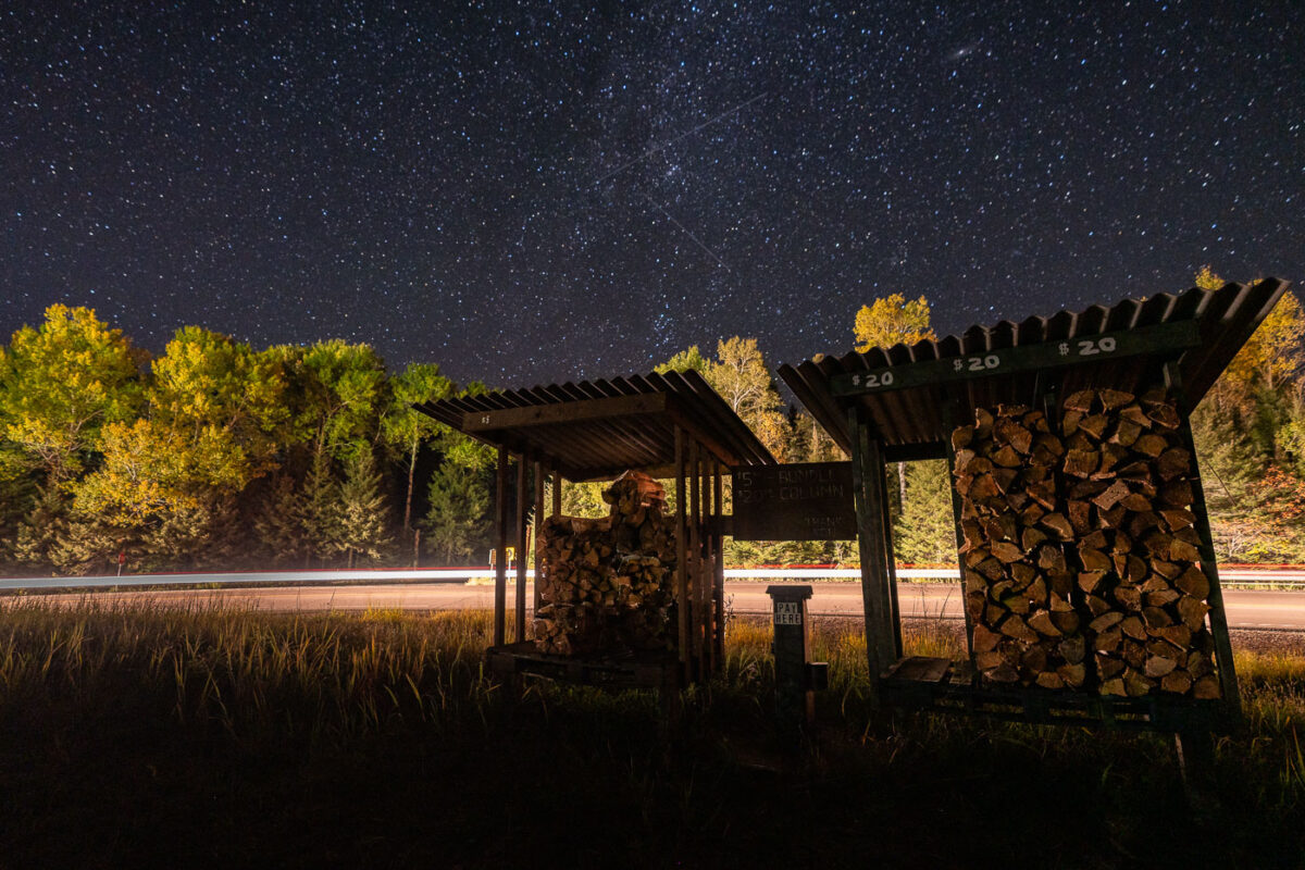
September 2021 — A small roadside firewood stand sits quietly beneath a star-filled sky near Isabella in northern Minnesota, a gateway community to the Superior National Forest. These honor-system stands are common throughout the Northwoods, supplying bundled campfire wood to travelers headed toward nearby campgrounds, trailheads, and remote lake cabins. Long-exposure headlights from passing vehicles streak across the background, contrasting with the stillness of the surrounding forest and the clear autumn night above.
September 2021 —
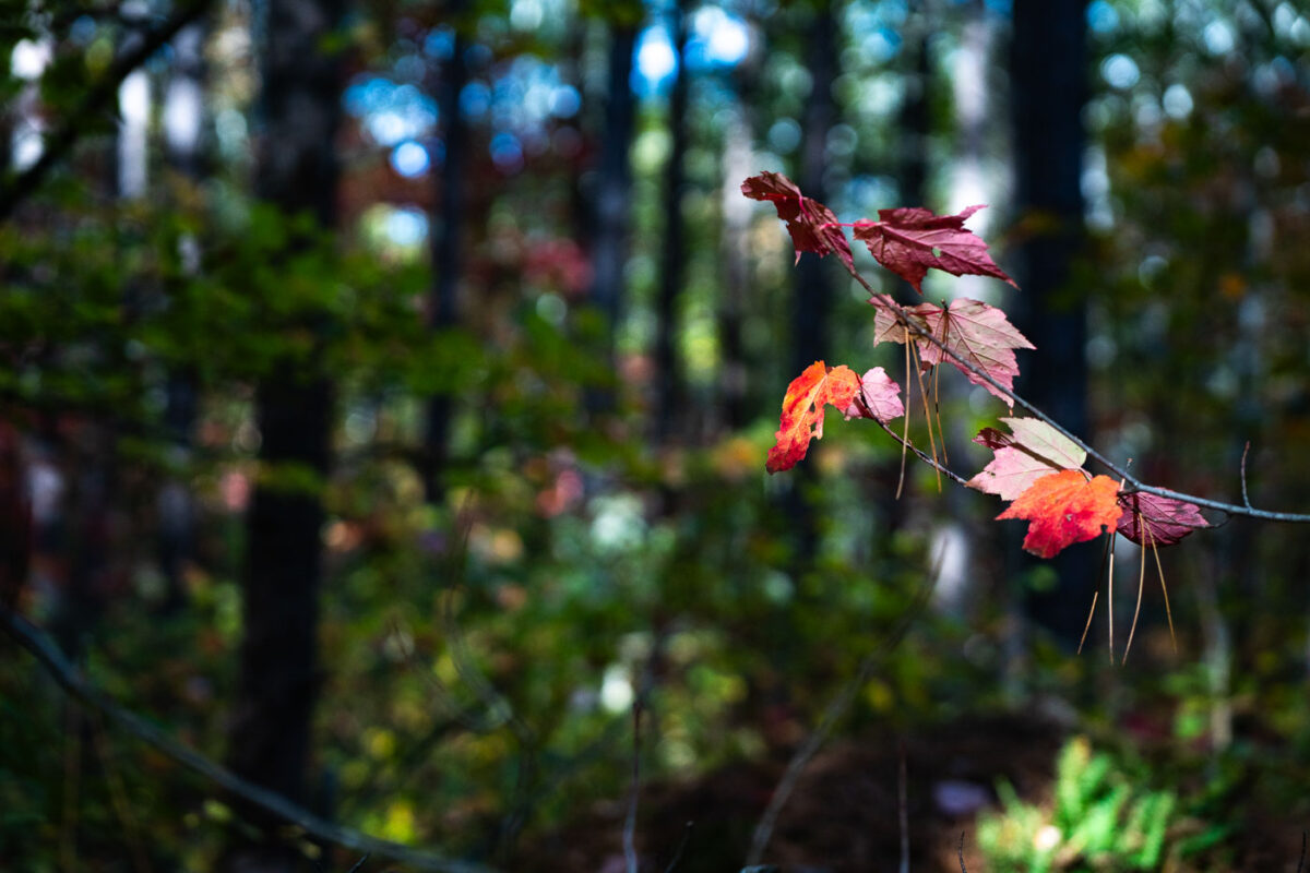
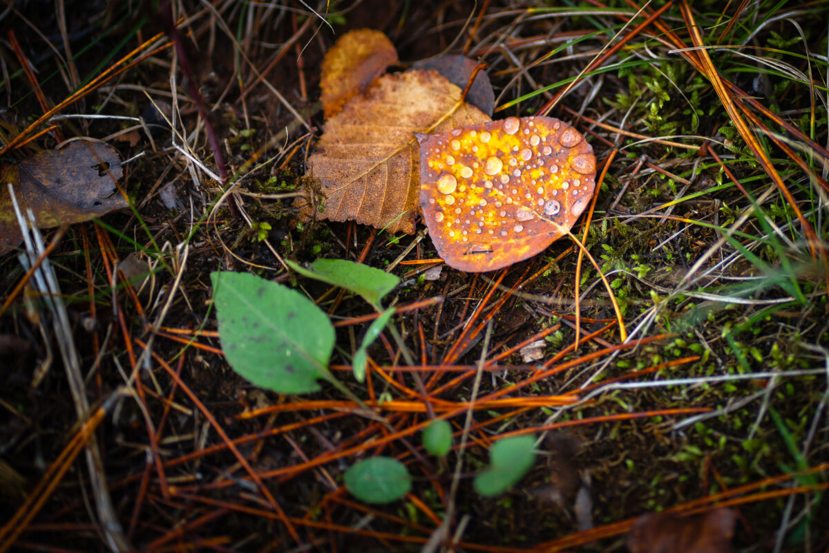
September 2021 — A small branch of maple leaves shows the first vivid signs of autumn deep within Superior National Forest in northern Minnesota. Early-season reds stand out against the darker greens and shadows of the surrounding pine-hardwood understory, a characteristic mix of the region’s boreal and temperate forest types. The shallow depth of field highlights the delicate transition of the season—one of the defining visual markers of fall in the Northwoods.
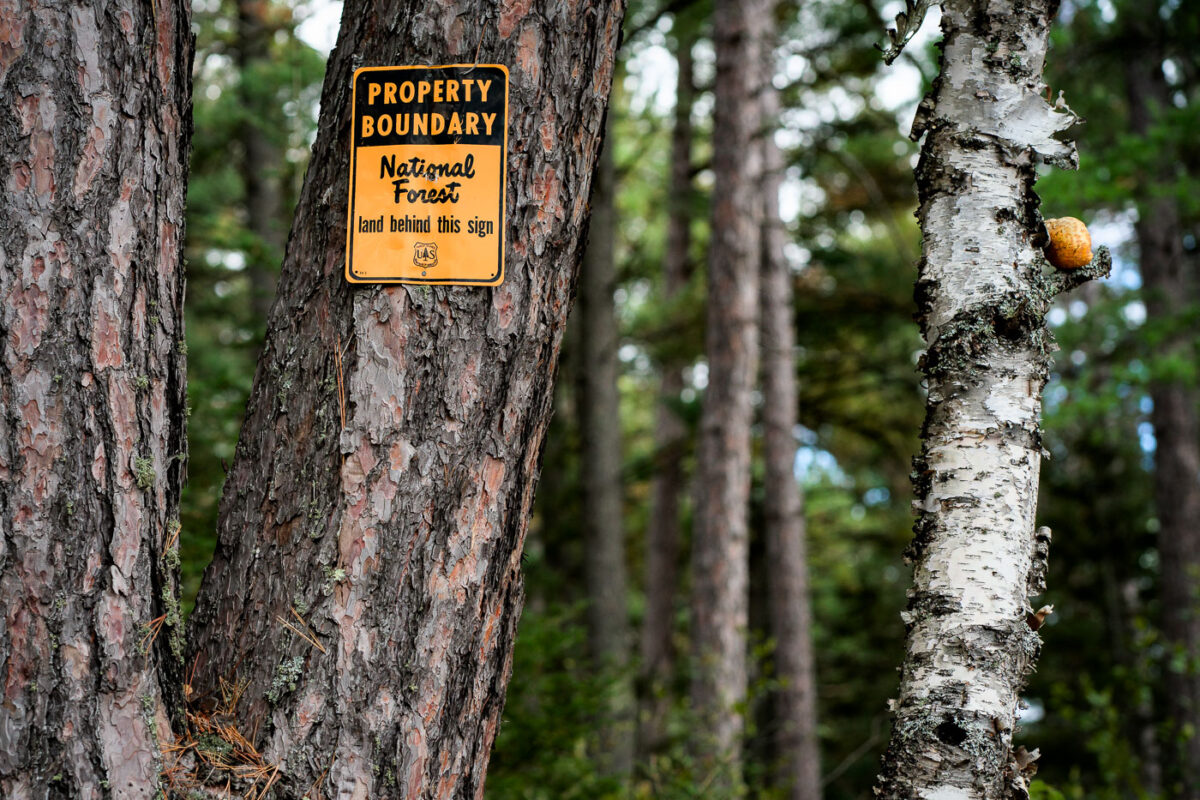
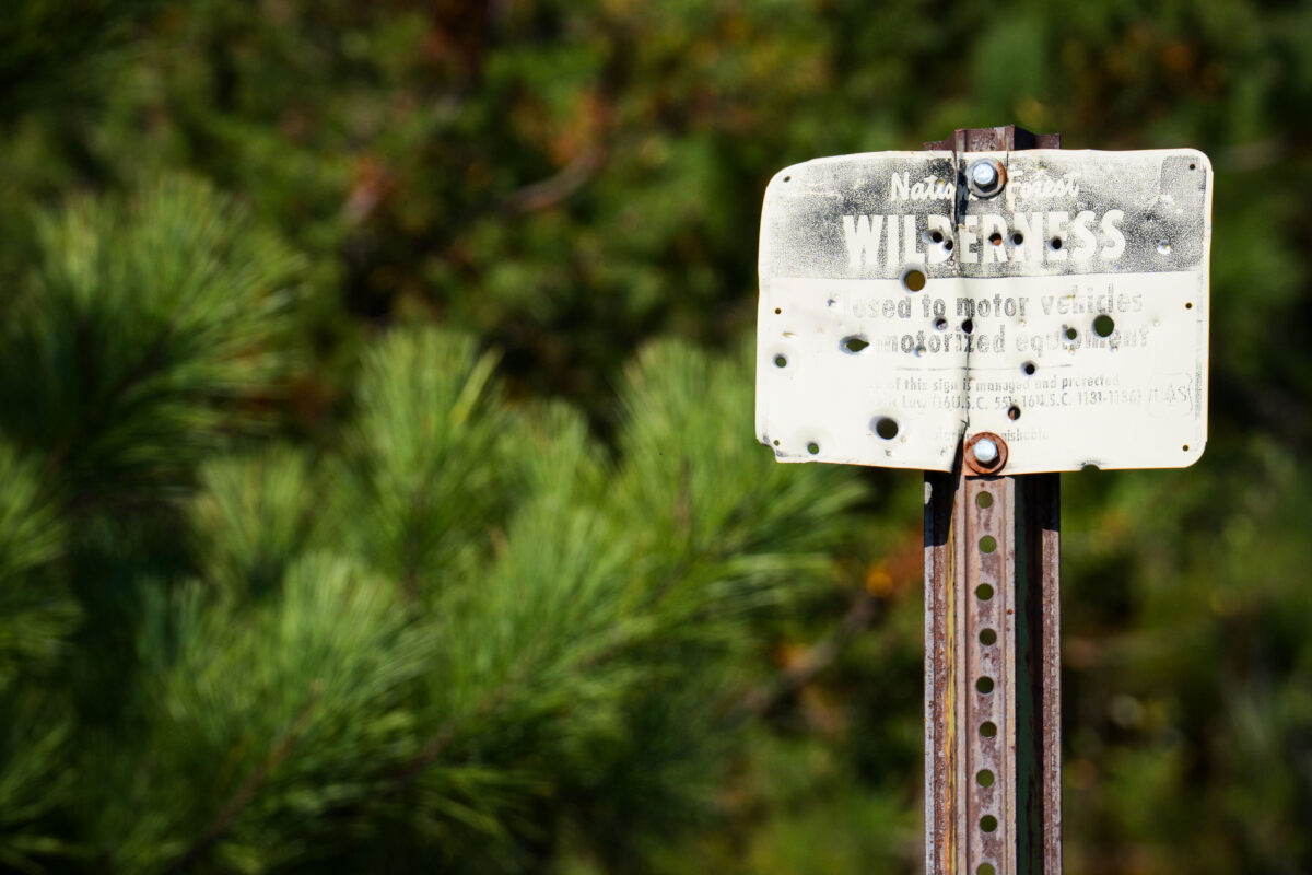
September 2021 — A U.S. Forest Service property boundary sign marks the transition onto Superior National Forest land in northern Minnesota. Signs like this one are posted throughout the region to indicate where federally managed forest begins—part of a system established after the forest’s creation in 1909 to protect timber resources, waterways, and wilderness habitat. Much of Northern Minnesota’s public land is a patchwork of federal, state, county, and private parcels, making boundary markers a practical guide for hunters, hikers, and anyone navigating the extensive backcountry.
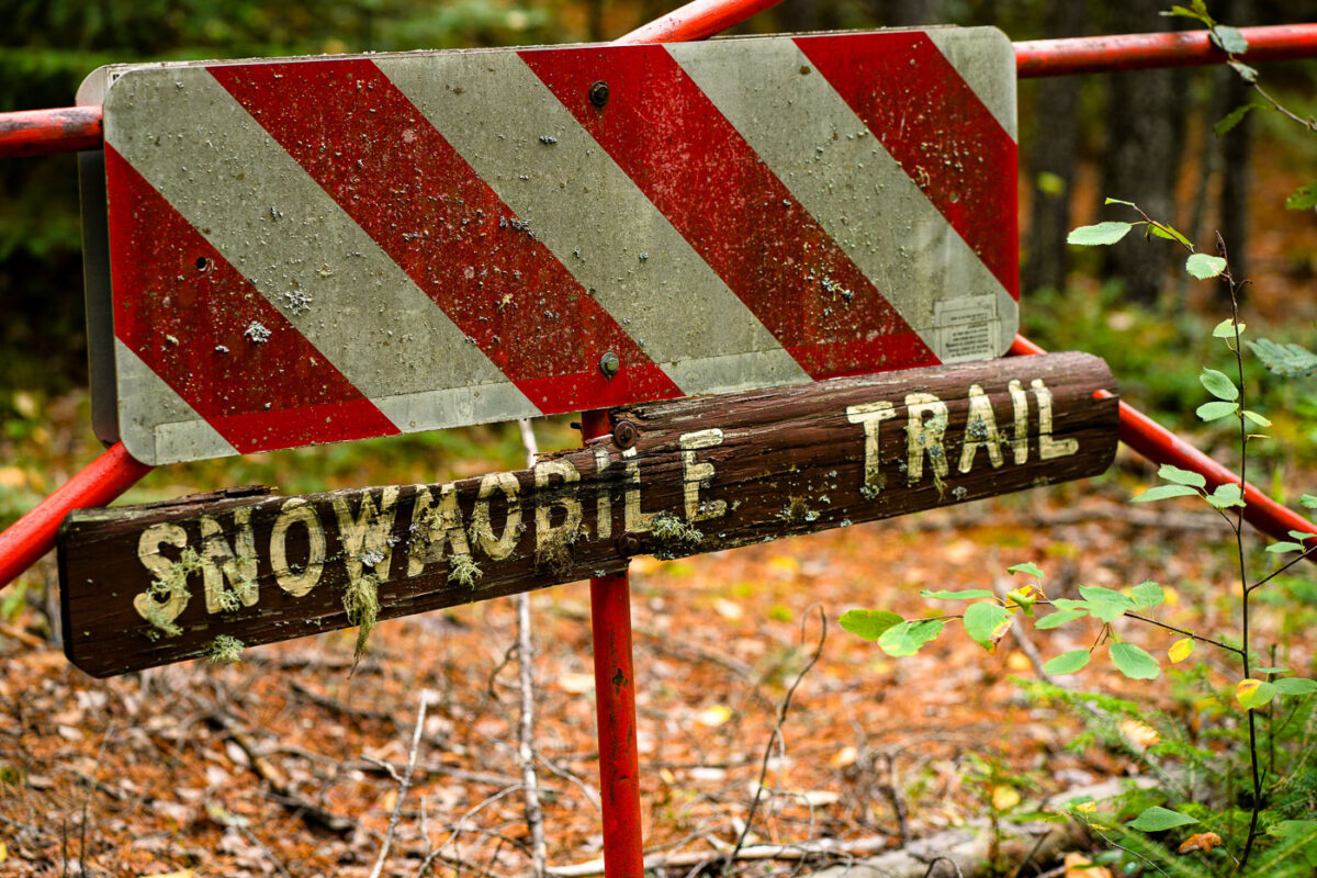
September 2021 — An aging “Snowmobile Trail” sign stands along a forested route in Stony River Township in northern Minnesota, an area threaded with seasonal trails maintained for winter travel. Much of this region lies within or near the Superior National Forest, where snowmobile corridors connect remote townships, logging roads, and unpaved access routes used throughout the winter months. Signs like this—often weathered, lichen-covered, and mounted on repurposed road barricades—reflect the long history of recreational and utility snowmobiling in northern Minnesota, where deep snow and long winters have shaped a network of informal and designated trails since the mid-20th century.
September 2021 —
September 2021 —
September 2021 —
September 2021 —
September 2021 —
September 2021 —
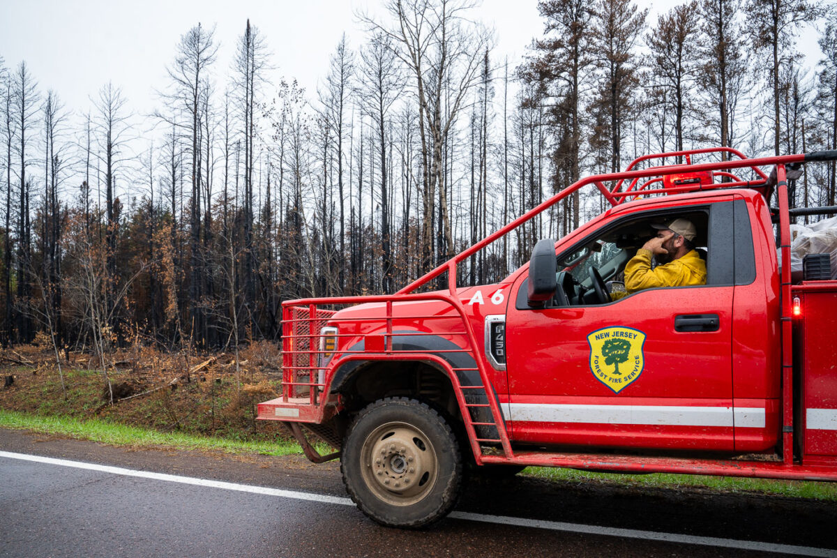
September 2021 — A New Jersey Forest Fire Service firefighter up in the Superior National Forest during the Glenwood wildfire.
August 2021 —
August 2021 —
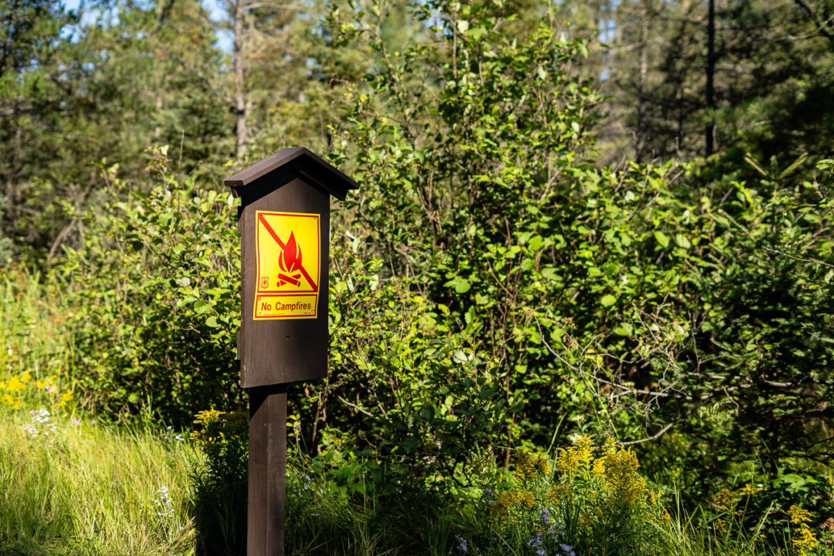
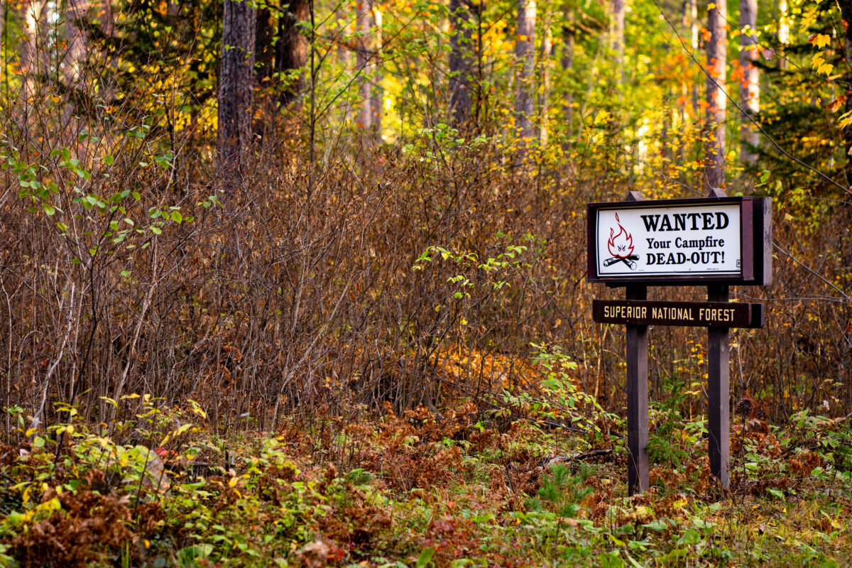
August 2021 — A sign reading "No Campfires" during the Minnesota drought as seen near Isabella, Minnesota.
May 2021 —
May 2021 —
May 2021 —

May 2021 —
May 2021 —
May 2021 —
May 2021 —
September 2020 —
September 2020 —
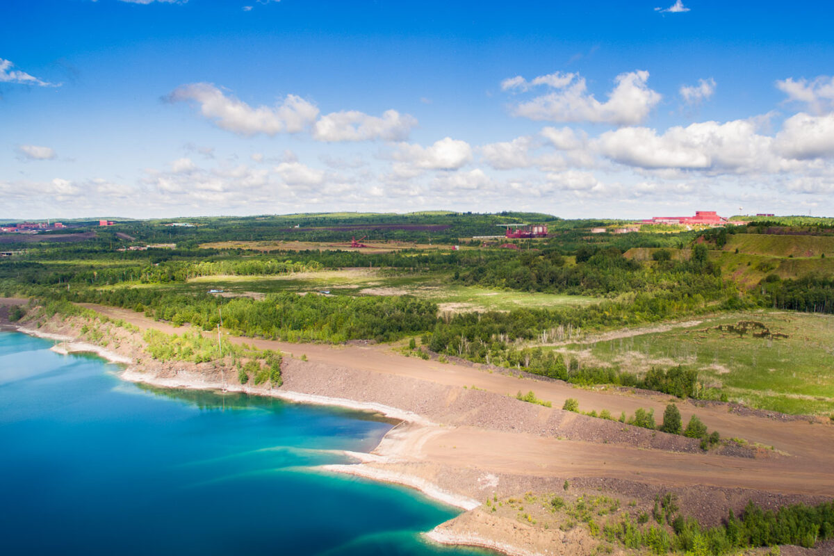
August 2015 — Polymet Mining/Glencore copper mine in Hoyt Lakes Minnesota.