Place Archive

Tamarindo

Tamarindo is a Pacific coast town in Guanacaste province, on the northwestern shore of Costa Rica’s Nicoya Peninsula. The shoreline at Punta San Francisco, just south of the main beach, is defined by intertidal rock formations and low-lying coastal scrub shaped by salt exposure and erosion. Mangrove habitat along the tidal margins supports shorebird populations that rest among the exposed roots at the water’s edge. The Coast Hotel operates near the beach, one of several small properties catering to the accommodation trade that has grown alongside the town’s surf and tourism economy.

7 photos

Photos from Tamarindo

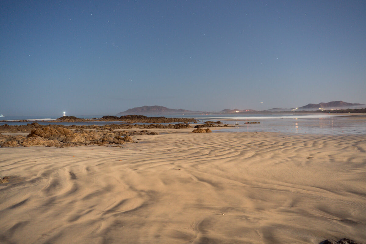
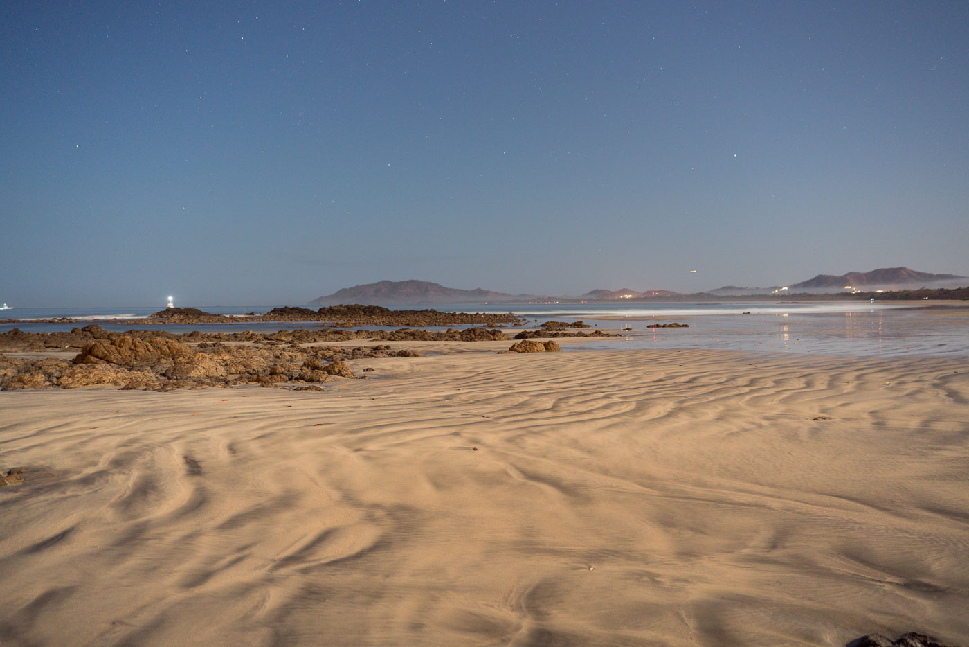
Rippled sand and rocky outcrops line the beach at Punta San Francisco near Tamarindo, Costa Rica at low tide.
Punta San Francisco Beach sits just north of Tamarindo on Costa Rica's Pacific coast, a stretch of Guanacaste known for its rocky points separating long sandy beaches. A small navigational light marks the rocky point offshore, helping boats traveling along this coastline identify the shore after dark. The surrounding waters are part of a marine zone that includes Las Baulas National Park, established to protect nesting leatherback sea turtles that come ashore along nearby beaches.
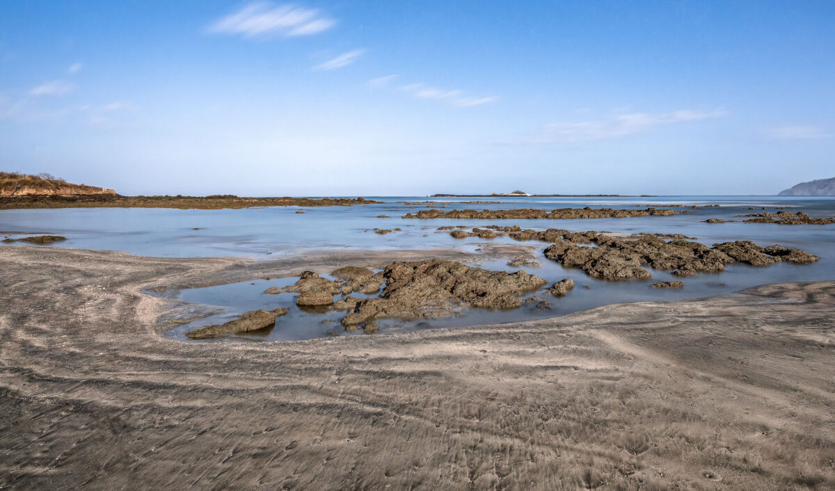
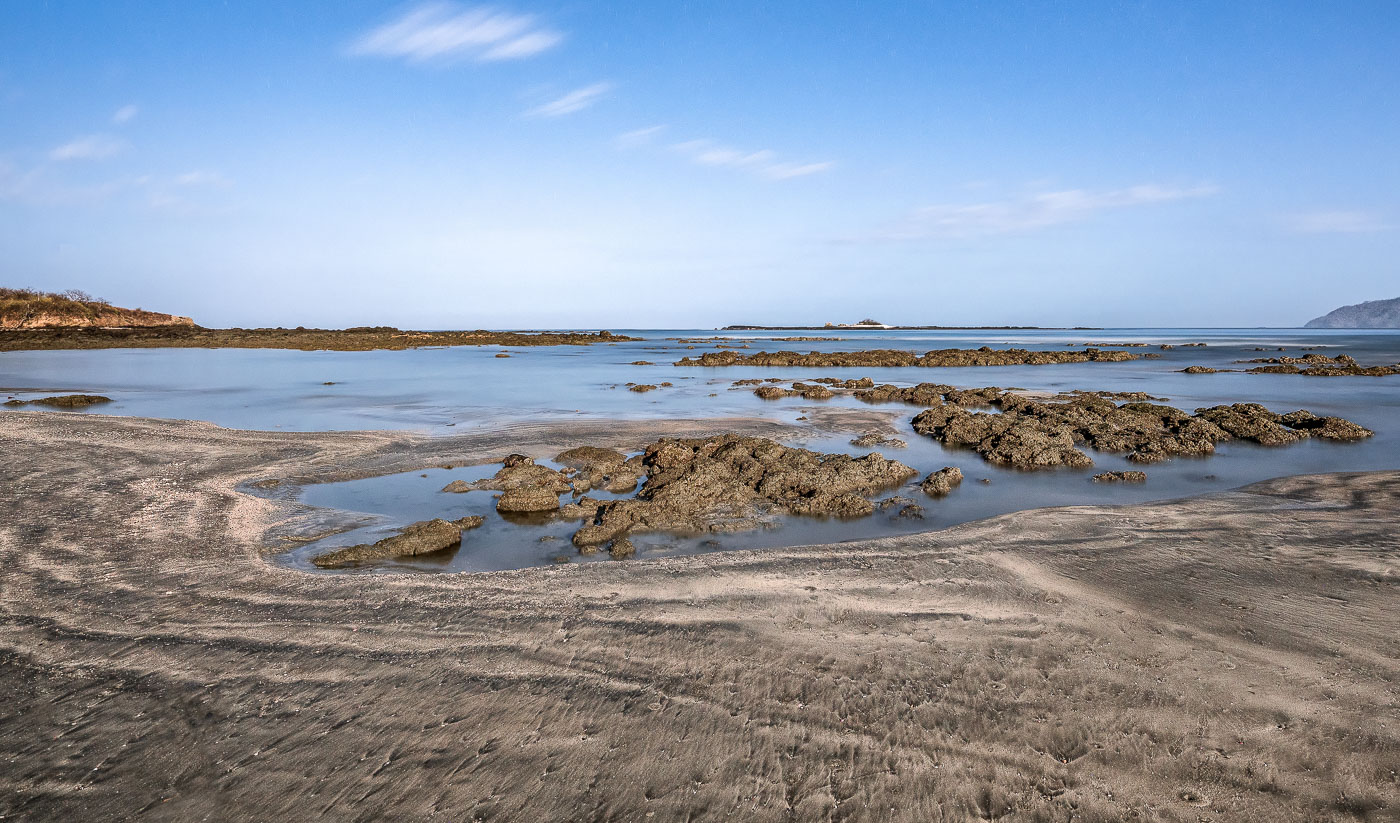
Rocky tidal pools and exposed stone formations at Punta San Francisco Beach near Tamarindo, Costa Rica, during low tide.
Punta San Francisco Beach sits along Costa Rica's Guanacaste coast near Tamarindo, a stretch known for its volcanic rock reef that emerges fully at low tide. The exposed reef creates shallow tidal pools that trap seawater as the tide recedes, a daily cycle tied to the Pacific's tidal range along this shoreline. These intertidal zones support small marine organisms adapted to alternating wet and dry conditions. The beach lies within the broader Tamarindo area, part of the dry tropical forest ecosystem that defines much of Guanacaste Province.
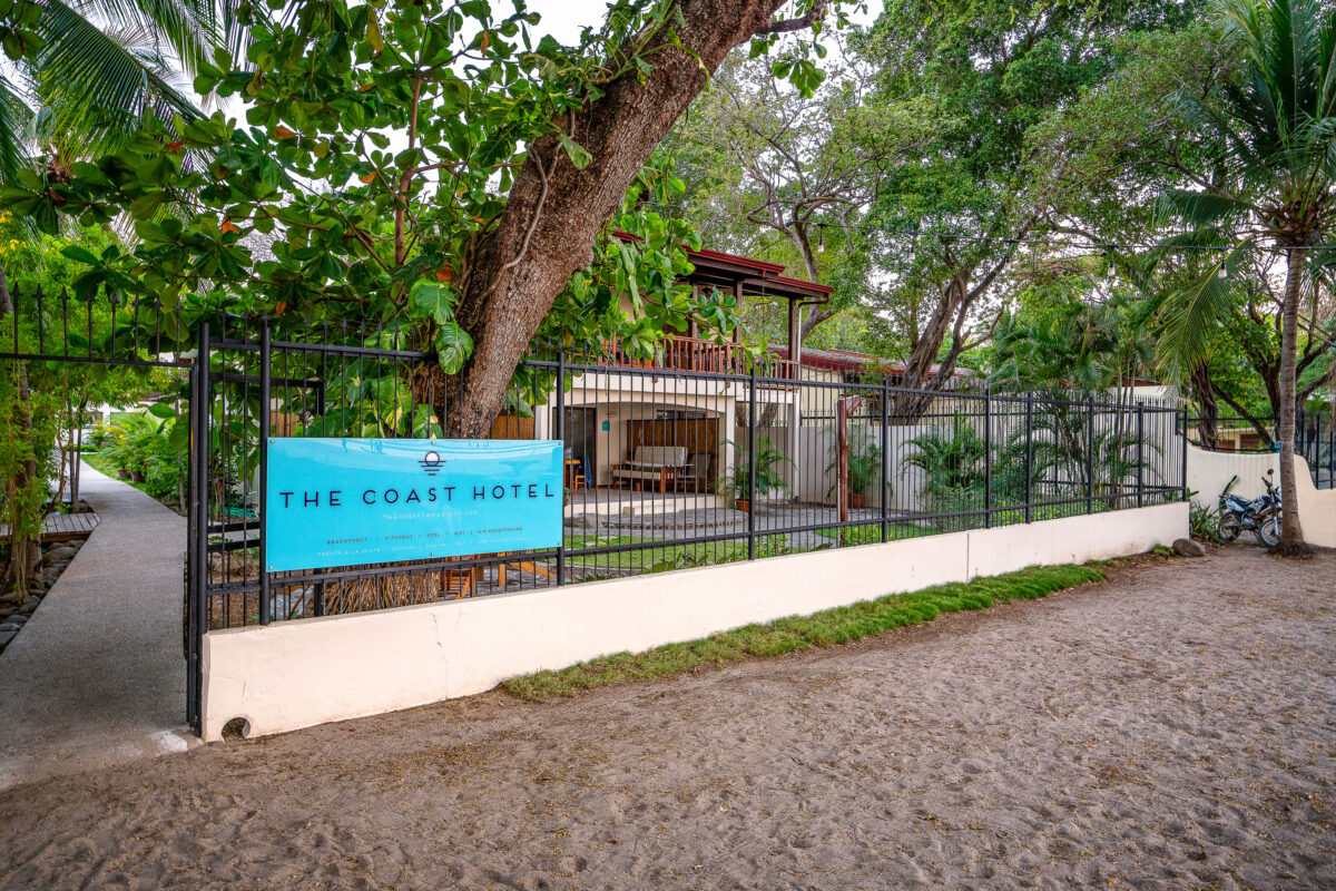
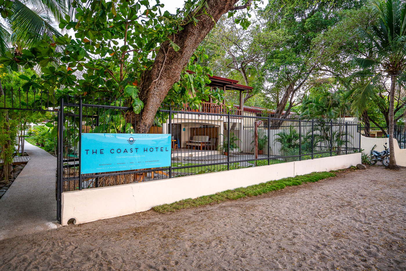
The Coast Hotel's turquoise sign hangs on a black metal fence along a sandy path in Tamarindo, Costa Rica.
The Coast Hotel sits near Punta San Francisco Beach in Tamarindo, a town on Costa Rica's Pacific coast in Guanacaste province. Tamarindo grew from a small fishing village into one of the country's most visited beach destinations, drawing surfers and travelers for its consistent breaks and proximity to Las Baulas National Marine Park, known for nesting leatherback turtles.
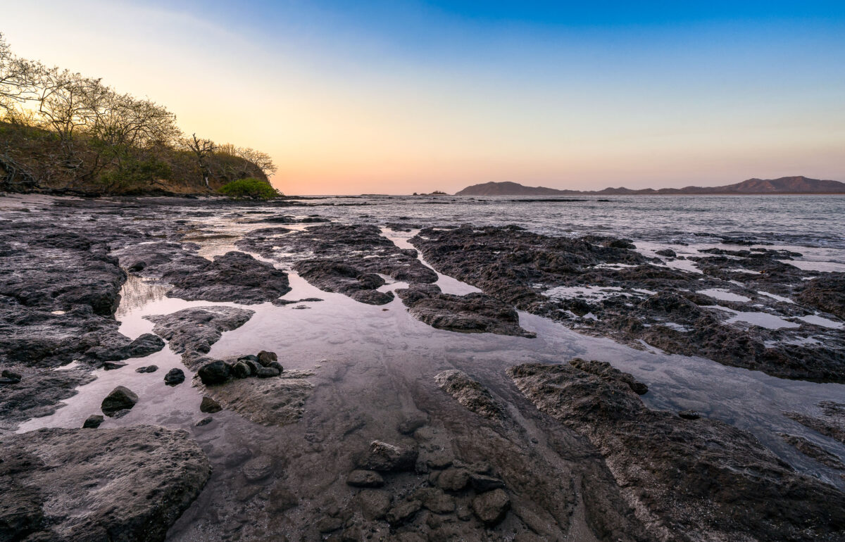
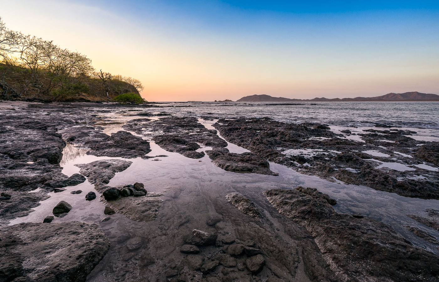
Tide pools and dark volcanic rock formations line the Pacific shoreline at Tamarindo Beach in Costa Rica at sunset.
Tamarindo Beach sits on the Pacific coast of Guanacaste Province, just south of Las Baulas National Marine Park, a protected nesting ground for leatherback sea turtles. The volcanic rock shelf exposed here at low tide runs along the shoreline toward Punta San Francisco, a rocky point separating Tamarindo from the smaller cove at Playa Langosta. Guanacaste's dry forest, visible along the point, sheds its leaves in the dry season between December and April, thinning the tree cover near the coast.
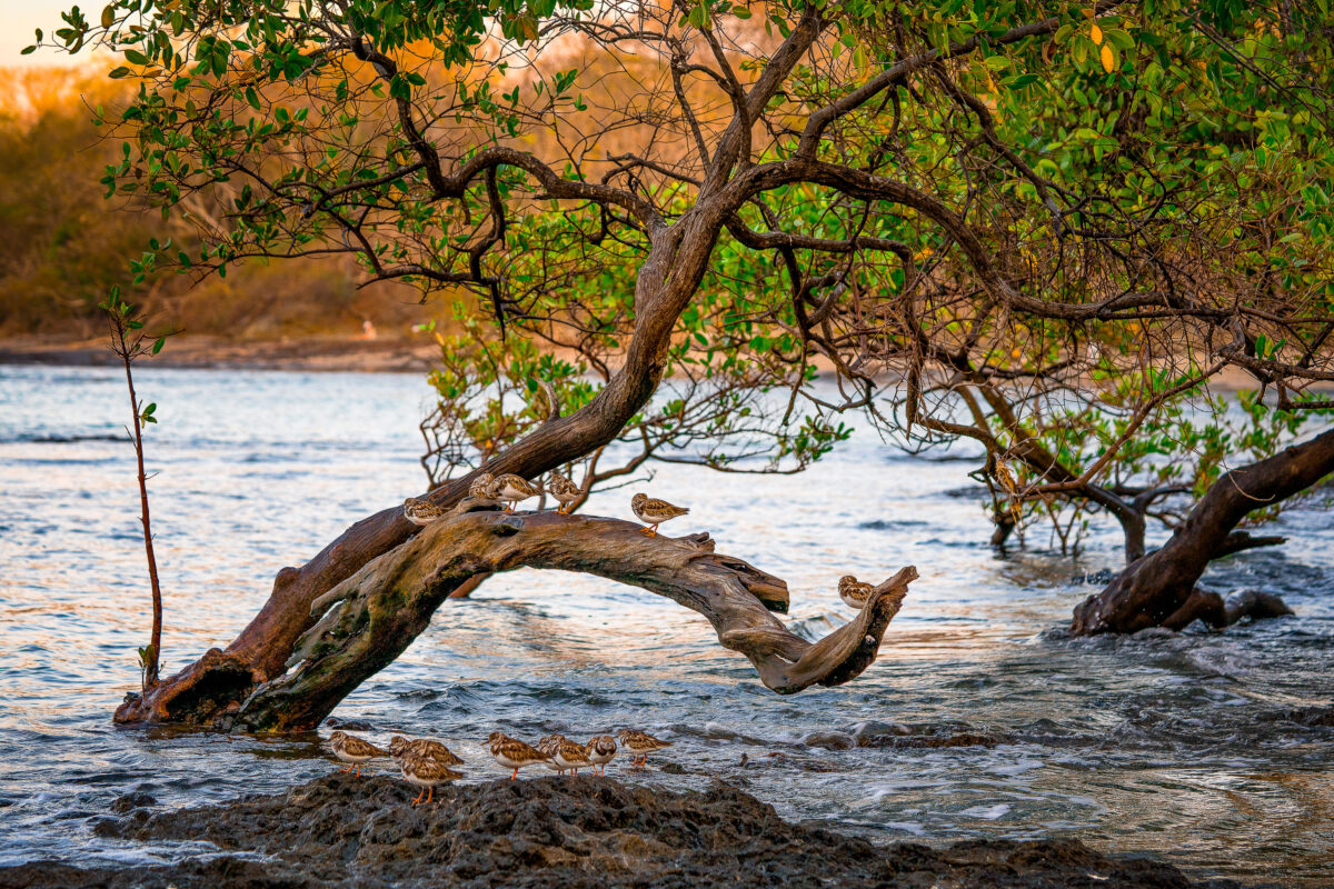
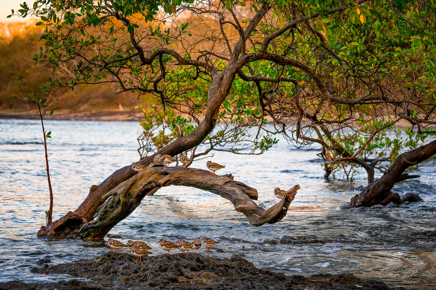
Shorebirds rest on a curved driftwood branch in shallow water among mangrove trees at Tamarindo, Costa Rica.
Tamarindo's estuary, fed by the Tamarindo River, holds one of Guanacaste's last intact mangrove systems, protected since 1995 under Las Baulas National Marine Park. The tangled red and black mangrove roots here trap sediment and shelter juvenile fish, crabs, and mollusks that draw wintering shorebirds such as sandpipers and plovers south from North America each year. These birds rely on the tidal flats for foraging at low tide and use exposed branches and roots as resting perches between feeding cycles. The estuary sits adjacent to Punta San Francisco Beach, within a few kilometers of the surf town of Tamarindo itself.
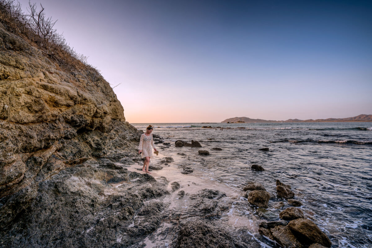
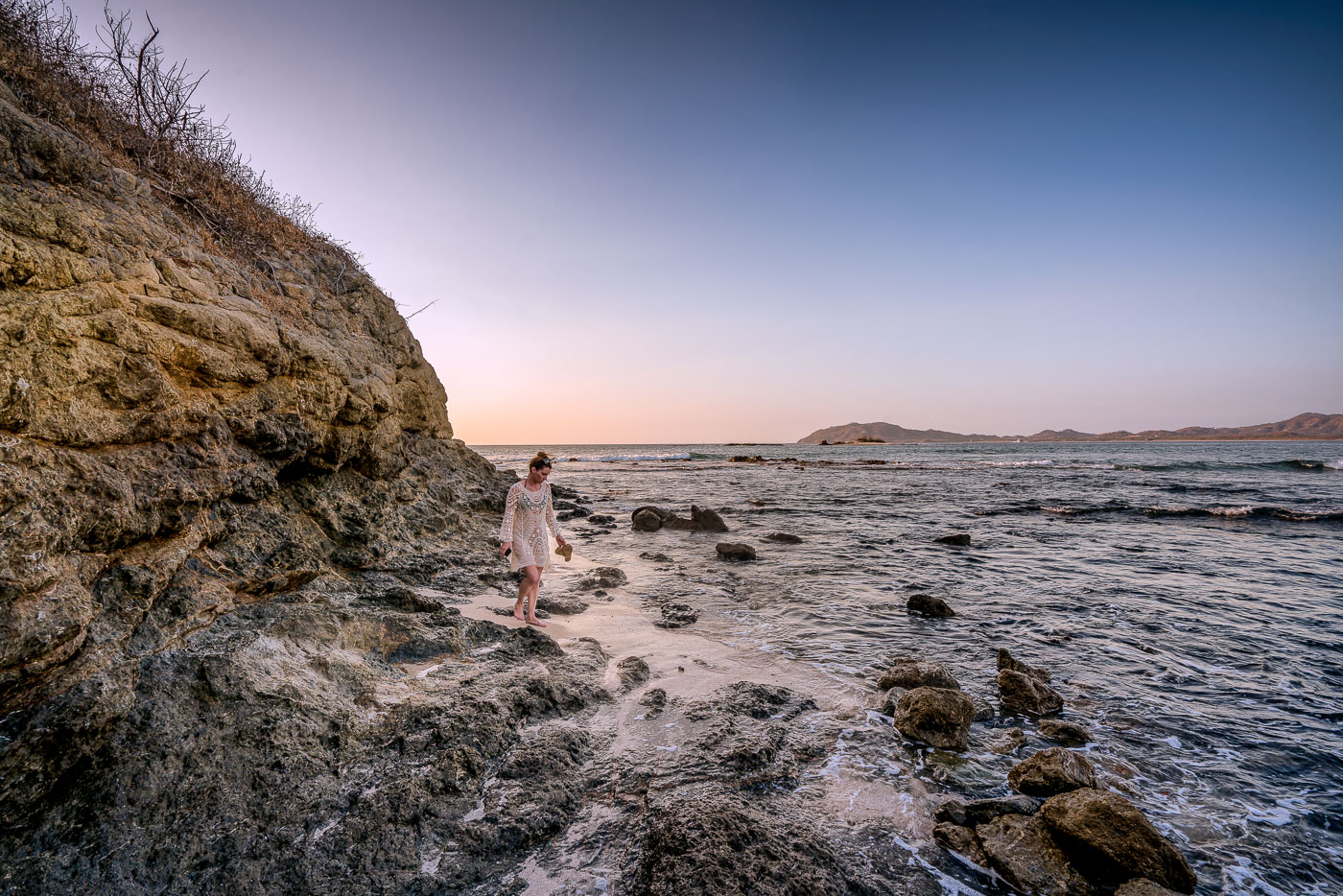
A woman walks along the rocky shoreline at Punta San Francisco Beach in Costa Rica at sunset.
Punta San Francisco Beach sits along Costa Rica's Guanacaste coast near Tamarindo, a stretch of Pacific shoreline known for its rocky outcrops and tide-exposed reef. The beach's name, meaning "San Francisco Point," marks its position along a headland separating it from neighboring stretches of sand farther south. Low tide here regularly exposes volcanic rock shelves and scattered boulders that remain submerged at higher water levels. The surrounding Guanacaste coastline formed from volcanic activity tied to the Central American Volcanic Arc, giving many of its beaches this dark, rock-strewn character rather than uniform white sand.
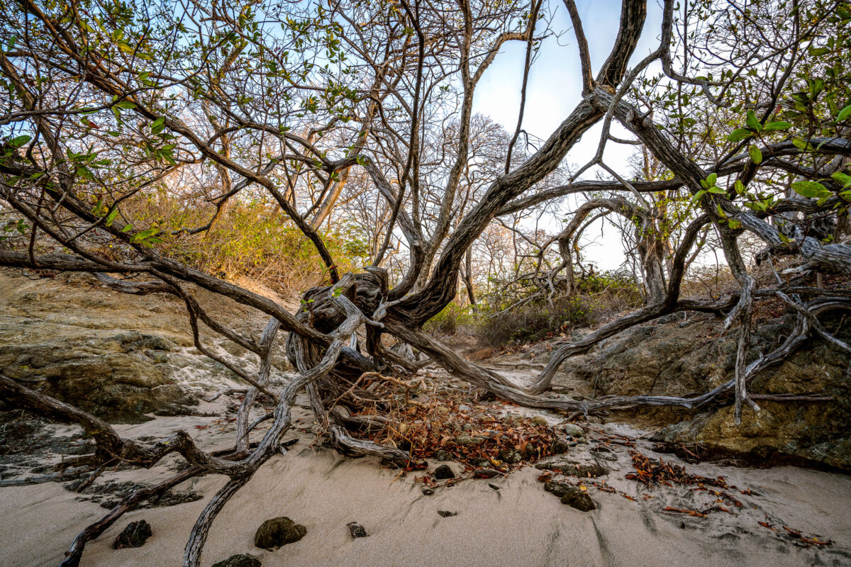
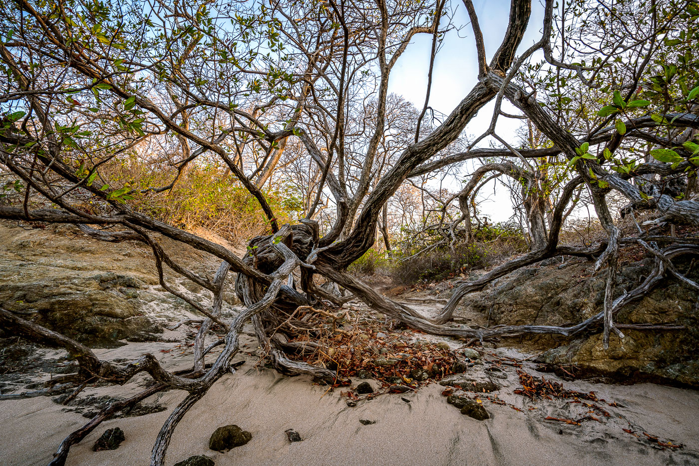
Wind-shaped coastal trees with exposed roots sprawl across sand and rock at Punta San Francisco Beach in Costa Rica.
Punta San Francisco Beach sits along Costa Rica's Pacific coast near Tamarindo, in Guanacaste province. The shoreline here is shaped by strong onshore winds and salt spray, conditions that keep coastal trees low and bent rather than upright. Trees growing this close to the tideline often develop exposed root systems as windblown sand shifts and settles around their bases. Guanacaste's dry forest ecosystem, which borders many of the region's beaches, is known for this kind of low, wind-sculpted growth where forest meets sand.

Built in Minneapolis

Minneapolis Photographer

Browse by location, move through long-running series, or start with recent work.