
Map
More from Mexico City
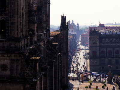
Looking Down Calle Madero from the Cathedral's Bell Tower
Francisco I. Madero Avenue in Mexico City’s historic center extends east from the Metropolitan Cathedral. The pedestrian street links the…

Sidewalk Vendors Outside Vips on Calle Madero
Avenida Francisco I. Madero runs for eight blocks through Mexico City's Centro Histórico, connecting the Zócalo to the Palacio de…
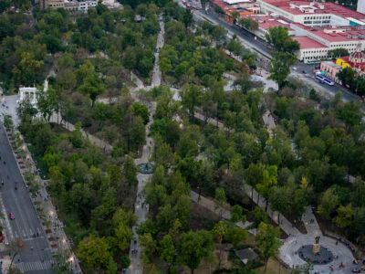
Aerial View of Alameda Central Park, Mexico City
Alameda Central in Mexico City’s Centro Histórico is the city’s oldest public park, established in 1592 and redesigned in the…
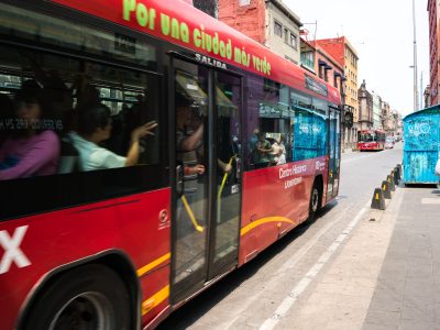
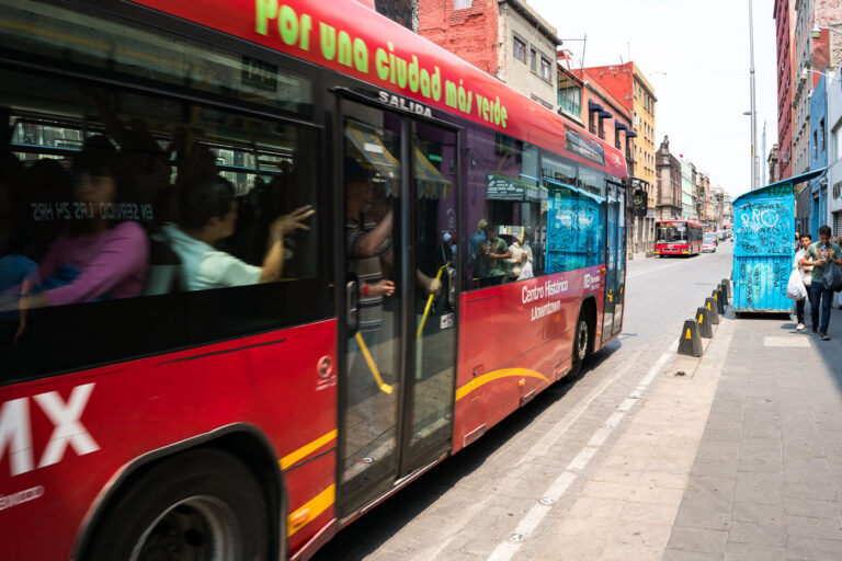
Metrobús Passengers Boarding on Calle Madero, Mexico City
Metrobús Line 4 runs through Mexico City's Centro Histórico, connecting the downtown core to the San Lázaro transit hub to…
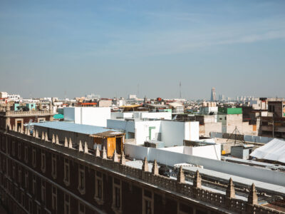
Rooftops of Centro Histórico Toward the City Skyline
Mexico City’s historic Centro Histórico rooftops extend toward the Torre Latinoamericana and nearby high-rises. The district combines older low-rise buildings…
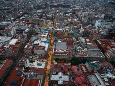
Aerial View of Calle Francisco I. Madero, Centro Histórico
Calle Francisco I. Madero is a pedestrian street in Mexico City’s Centro Histórico, linking the Zócalo area with the Torre…
Nearby Photos