
Map
More from Mexico City
Mexico City's Illuminated Towers After Dark
Mexico City skyline at night. The city is the capital of Mexico and one of the largest metropolitan areas in…
Aerial View of Bellas Artes Illuminated Beside Alameda Central
Palacio de Bellas Artes sits at the western edge of the Alameda Central in downtown Mexico City. Construction began in…
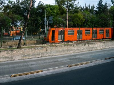
Mexico City Metro Line 1 Train Along Viaducto Road
Mexico City Metro Line 1 runs beside Viaducto, a major elevated roadway in the city’s south-central area. Opened in 1969,…
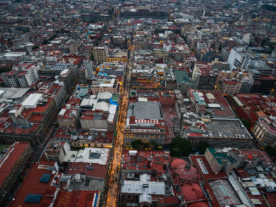
Aerial View of Calle Francisco I. Madero, Centro Histórico
Calle Francisco I. Madero is a pedestrian street in Mexico City’s Centro Histórico, linking the Zócalo area with the Torre…
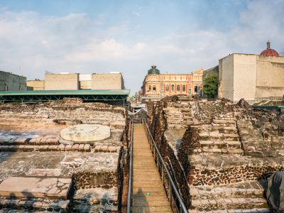
Walkway Through the Templo Mayor Excavation Site
The Templo Mayor was the principal temple of the Aztec capital Tenochtitlan, dedicated to the gods Huitzilopochtli and Tlaloc. Spanish…

Orange Refuge on the Slopes of Nevado de Toluca
Nevado de Toluca in central Mexico is home to this mountain refuge, a shelter building on the volcano’s upper slopes.…
Nearby Photos