Skyline

30 photos · 2012–2025

30 photographs tagged Skyline, 2012–2025.

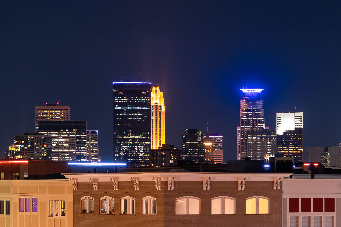
Downtown Minneapolis skyline at night viewed from Lake Street in Uptown, with illuminated office towers and a gold-lit Art Deco building.
The Minneapolis skyline stands beyond Lake Street in Uptown, about two miles south of downtown. The IDS Center, at 792 feet the tallest building in Minnesota, stands among the towers.

Downtown Minneapolis Skyline Beyond Lake Street in Uptown
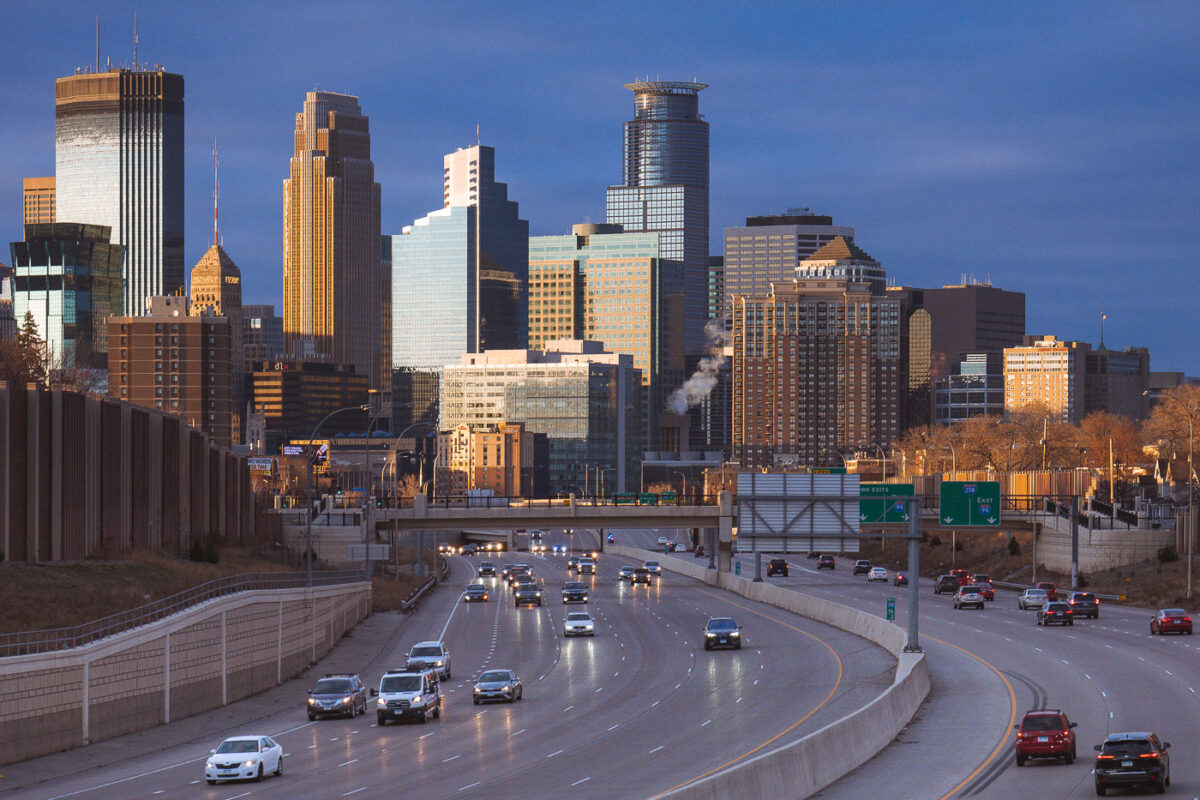
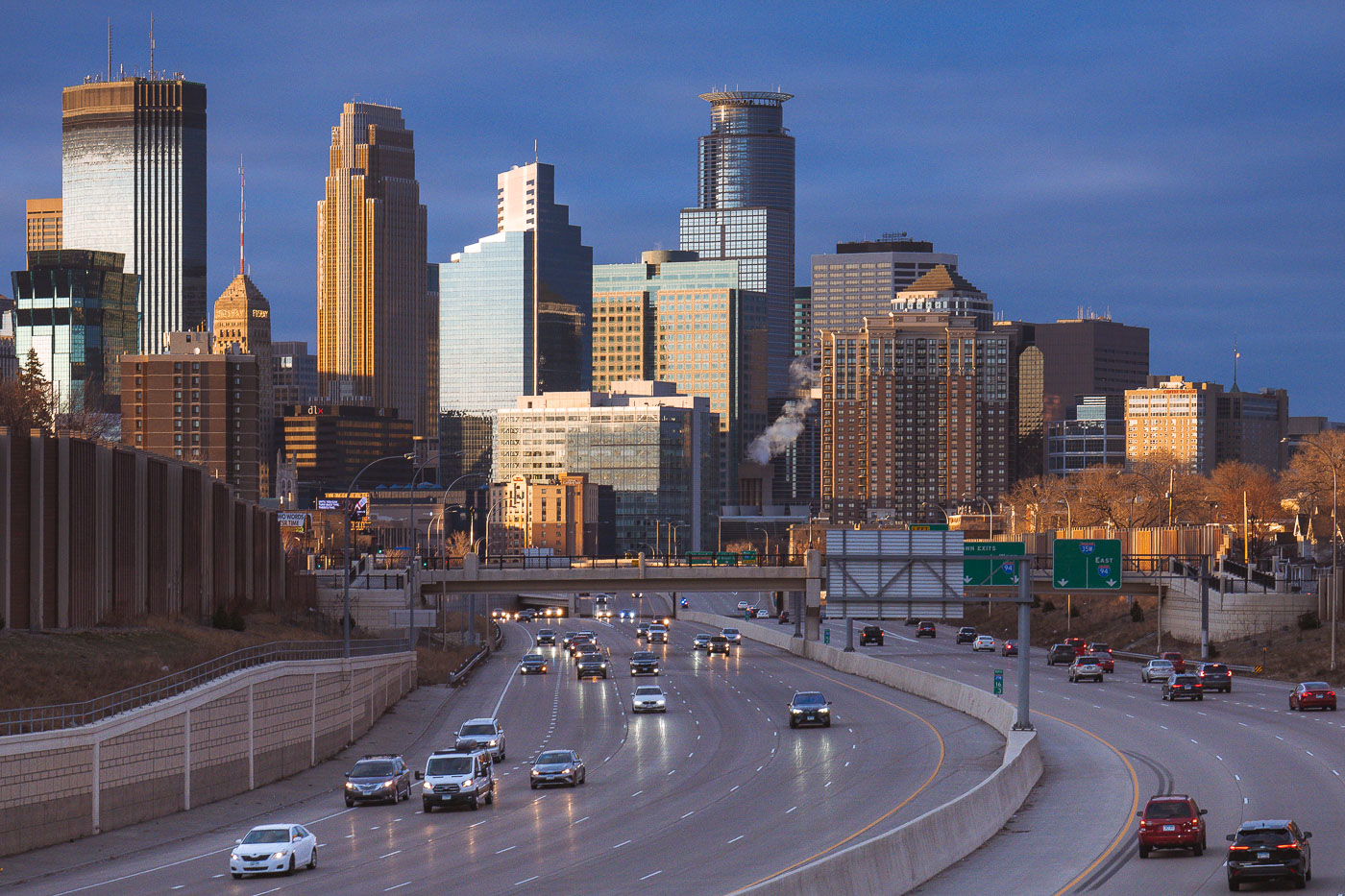
Cars on the interstate and downtown Minneapoplis skyline
Downtown Minneapolis, viewed from Interstate 35W in South Minneapolis in March 2024.

Downtown Minneapolis from I-35W, March 2024
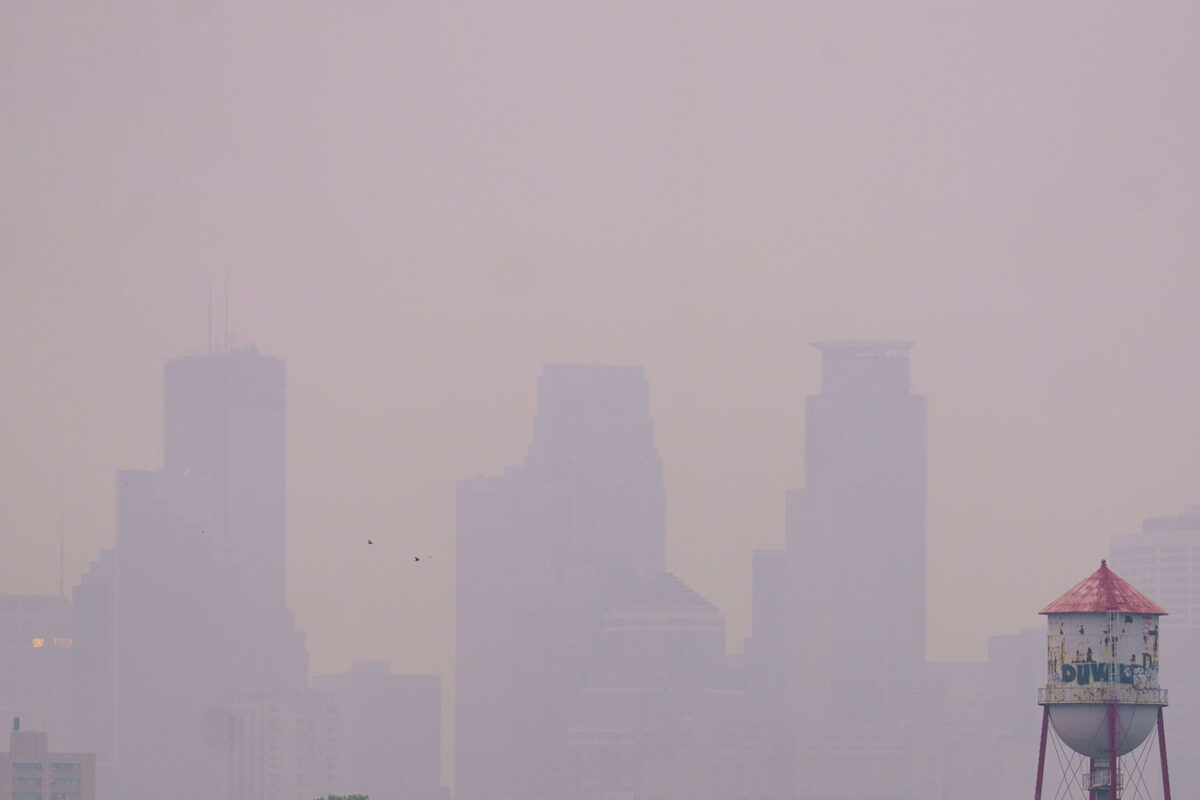
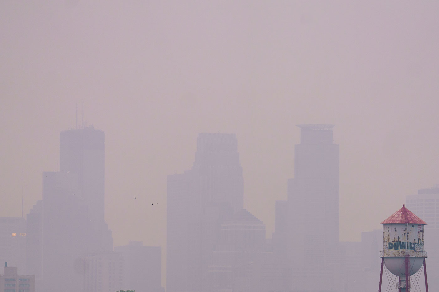
Barely visible downtown skyline due to wildfire
Wildfire smoke from Canada drifts into Minneapolis, significantly reducing visibility of the downtown skyline. The smoke, a result of widespread wildfires, impacted air quality across the region. The image also shows a water tower, a common feature in urban environments providing essential water storage and pressure for municipal systems.

Minneapolis Skyline Obscured by Wildfire Smoke
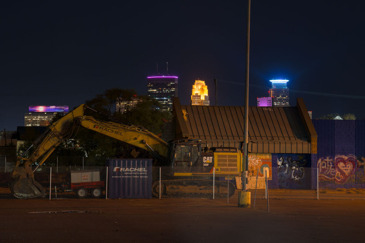
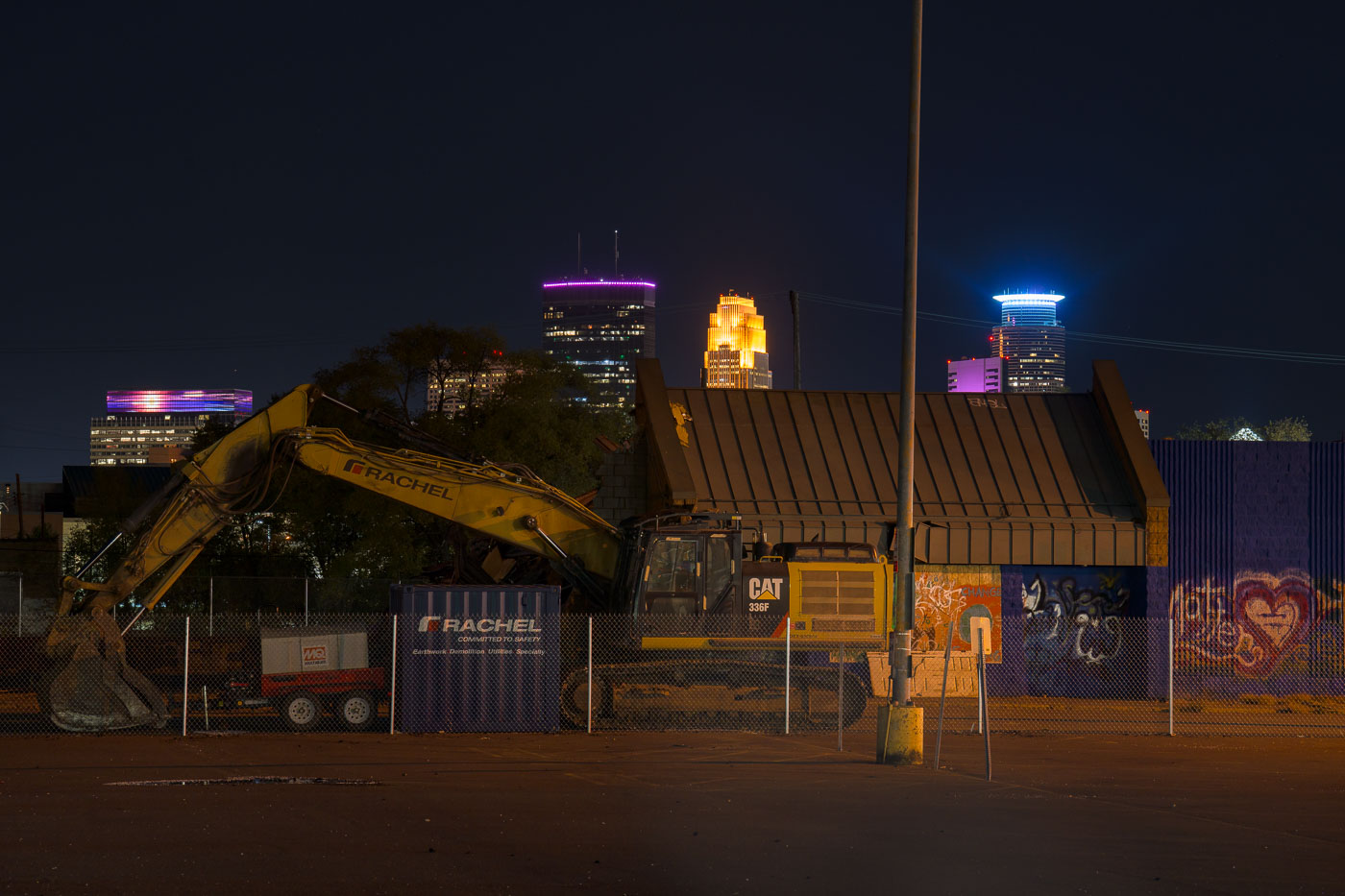
Supervalu Demolition on Lake Street
Demolition equipment is on-site at the former Supervalu store on Lake Street in South Minneapolis.

Minneapolis Supervalu Demolition at Night
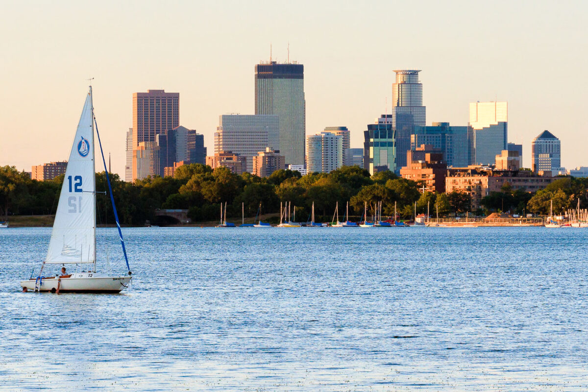
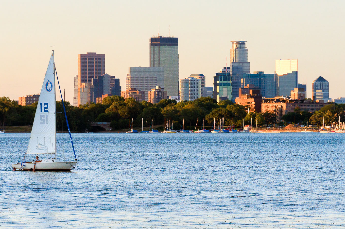
Sailboat with white sail numbered 12 on Bde Maka Ska lake with Minneapolis skyline beyond.
A sailboat is on Bde Maka Ska in Minneapolis with the downtown skyline in the background.

Sailboat on Bde Maka Ska Beneath the Minneapolis Skyline
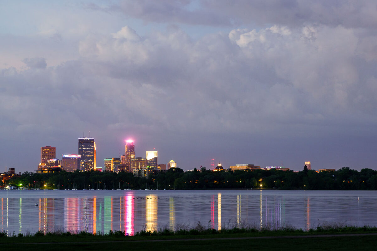
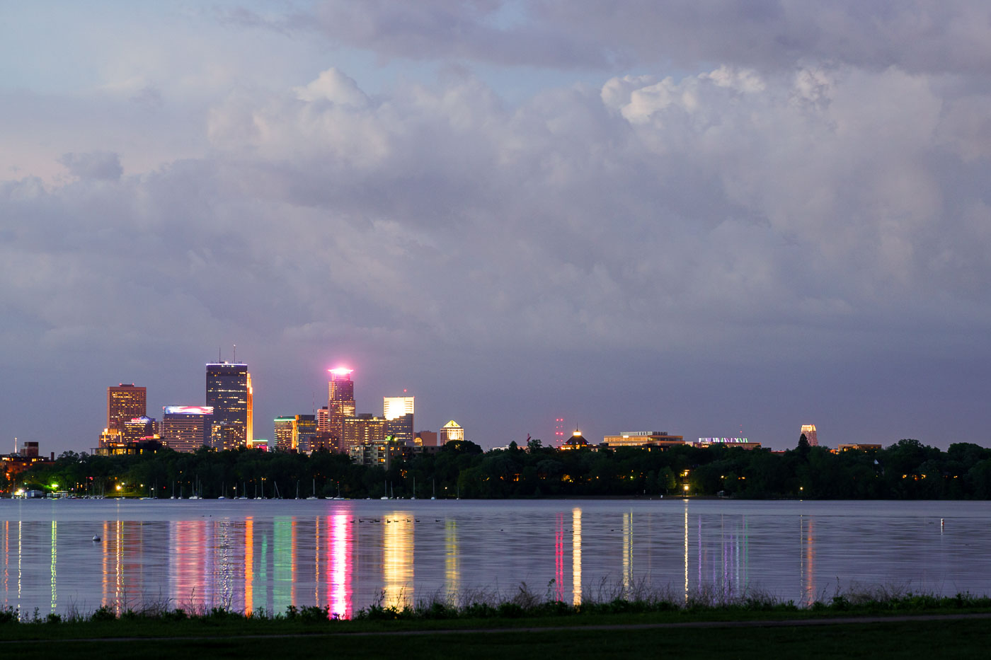
Minneapolis skyline illuminated at dusk across Bde Maka Ska lake.
The Minneapolis skyline is visible across Bde Maka Ska, a prominent lake in the city's chain of lakes. The lake, originally named Lake Calhoun, was renamed Bde Maka Ska in 2018 to honor its Dakota heritage.

Storm Clouds Over the Minneapolis Skyline from Bde Maka Ska

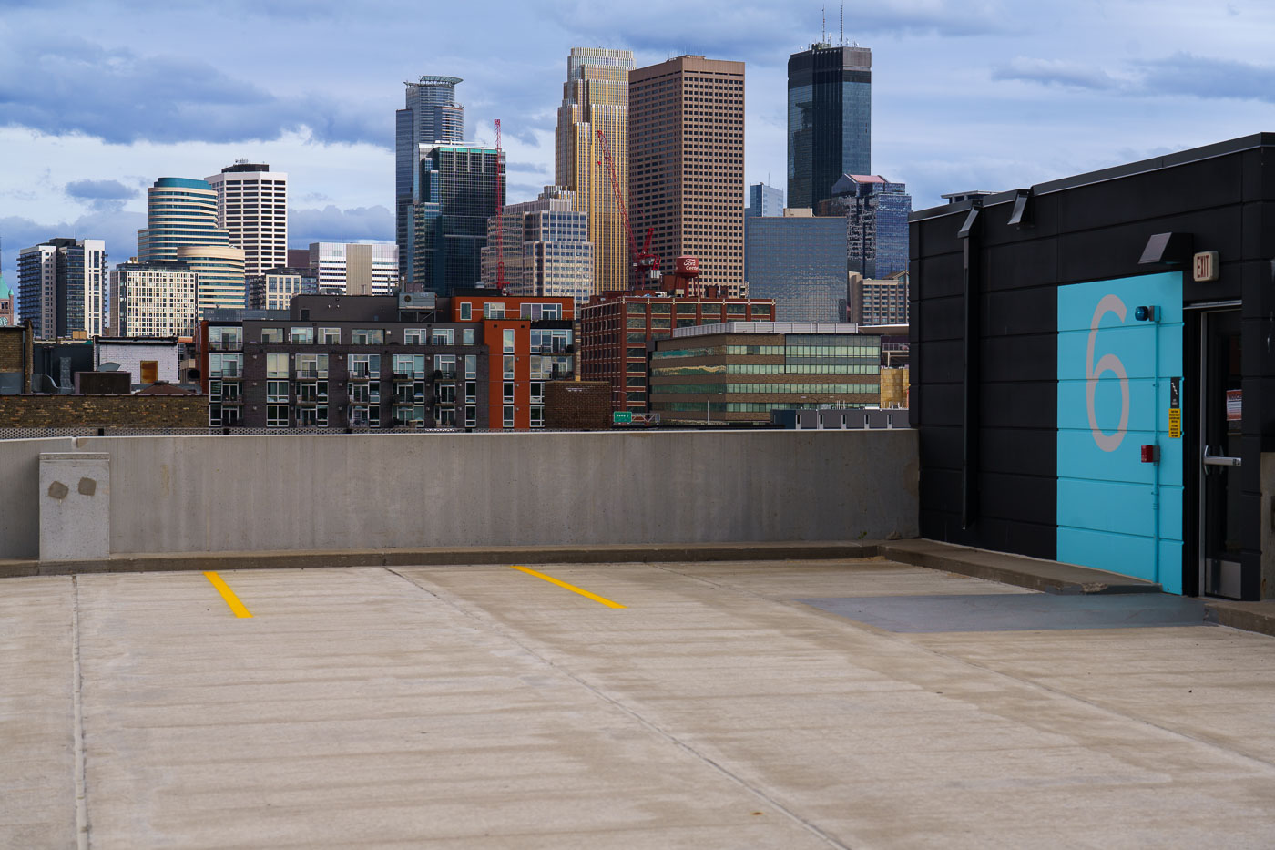
Minneapolis skyline viewed from a rooftop parking area in the North Loop neighborhood.
The Minneapolis skyline is visible from the North Loop neighborhood, a district that has undergone significant redevelopment in recent decades.

Downtown Minneapolis Skyline from a North Loop Rooftop Deck
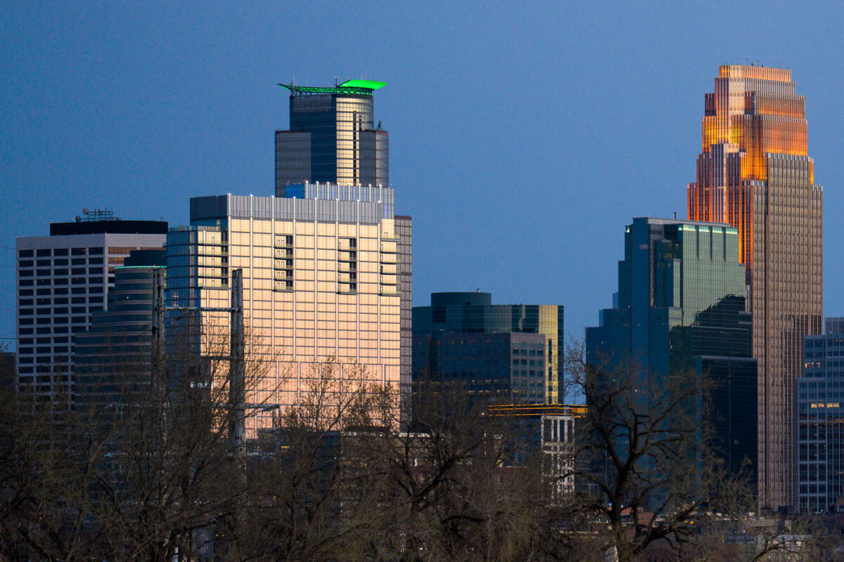
Minneapolis Skyline May 2022
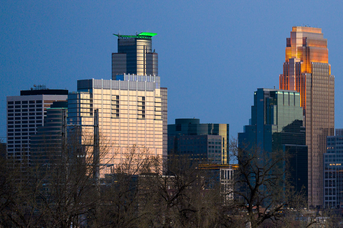
The Minneapolis skyline is illuminated by the setting sun in May 2022. These buildings, along with others, form the central business district of Minneapolis, serving as hubs for commerce and corporate activity in the region.

Minneapolis Downtown Skyscrapers at Dusk, May 2022

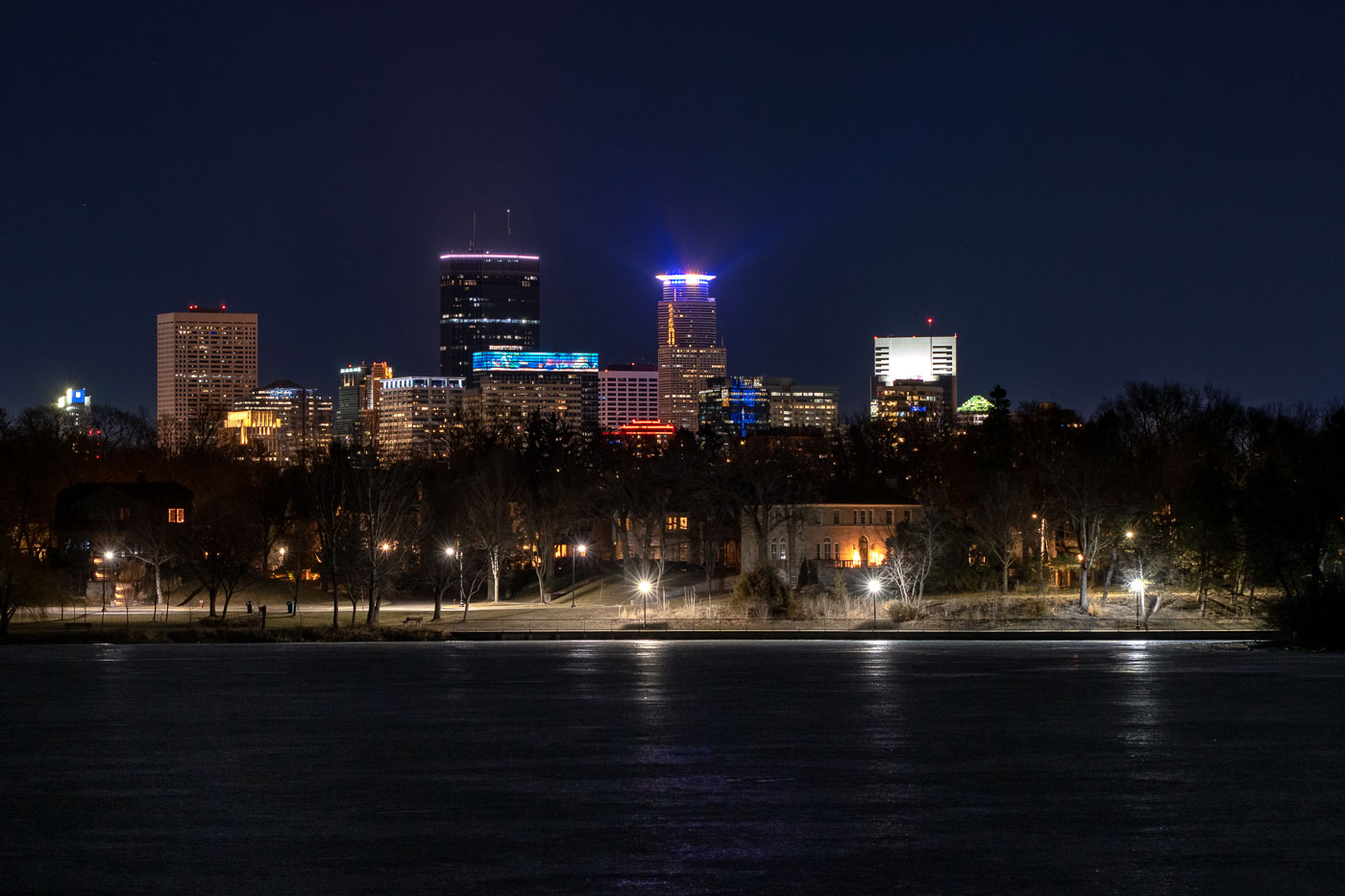
Minneapolis skyline across Lake of the Isles at night.
The Minneapolis skyline is visible at night from the frozen surface of Lake of the Isles, a prominent feature of the city's Chain of Lakes park system. This vantage point offers a view of the downtown commercial district, showcasing the development of its architecture and economic activity. Lake of the Isles, established in the late 19th century, serves as a vital green space within the urban environment, providing areas for public use and contributing to the city's character.

Minneapolis Skyline from Lake of the Isles at Night
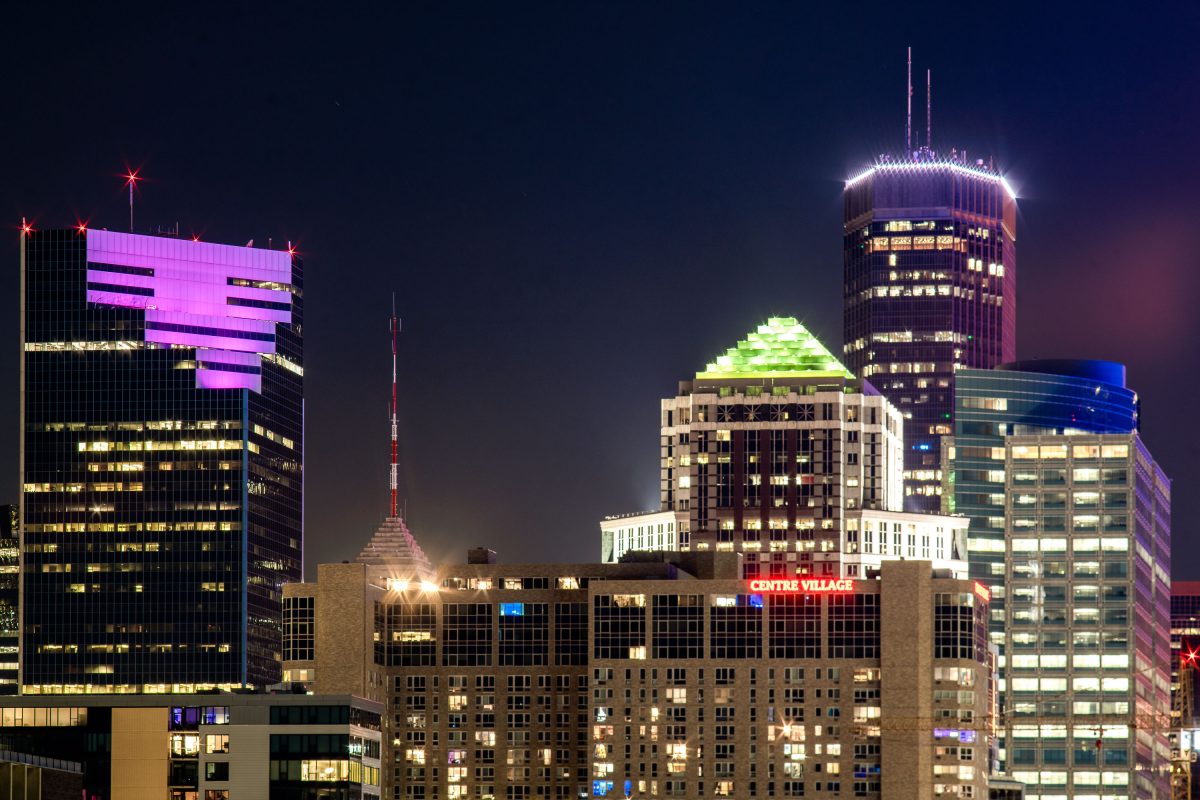
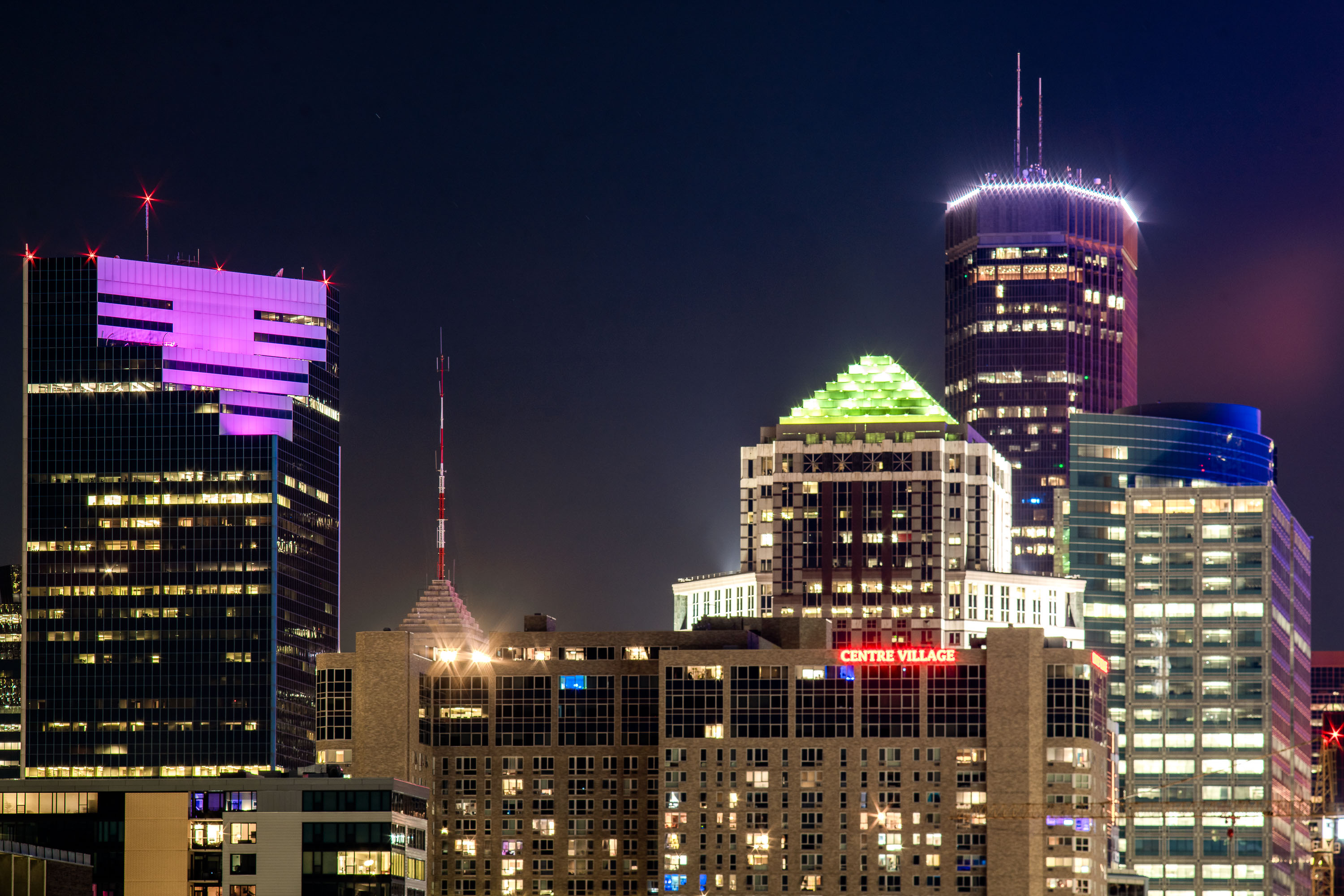
Two22, IDS Center and Centre Village buildings in Downtown Minneapolis.
The Two22 building (formerly Campbell Mithun Tower) is the latest building in Minneapolis to get a lightng change. In the last week it's changed from its long time white lightning to a purple.

Two22 Building, Centre Villafge, IDS Center in Downtown Minneapolis
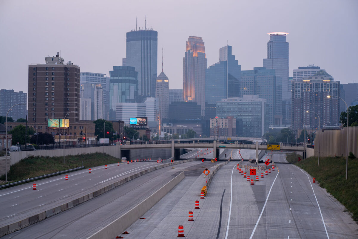
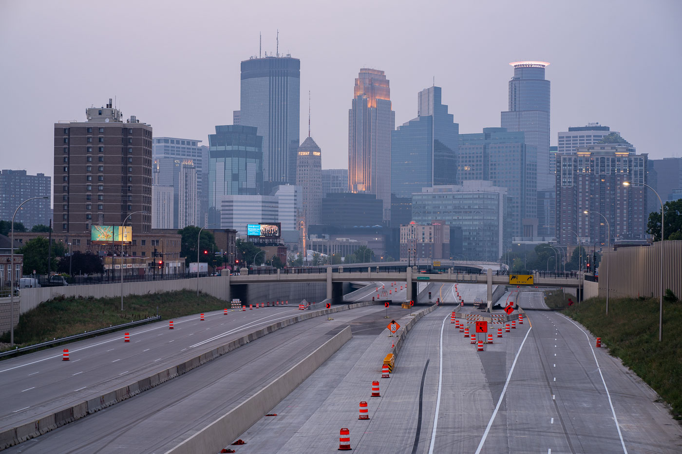
Air quality alerts and Downtown Minneapolis
The Minneapolis skyline is obscured by wildfire smoke, a recurring environmental issue impacting the region. Interstate 35W, a major north-south freeway, is visible in the foreground, marked by construction cones and barriers, indicating ongoing infrastructure work.

Downtown Minneapolis Skyline Through Wildfire Haze
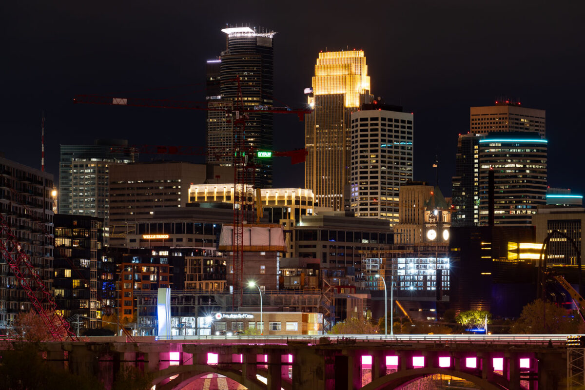
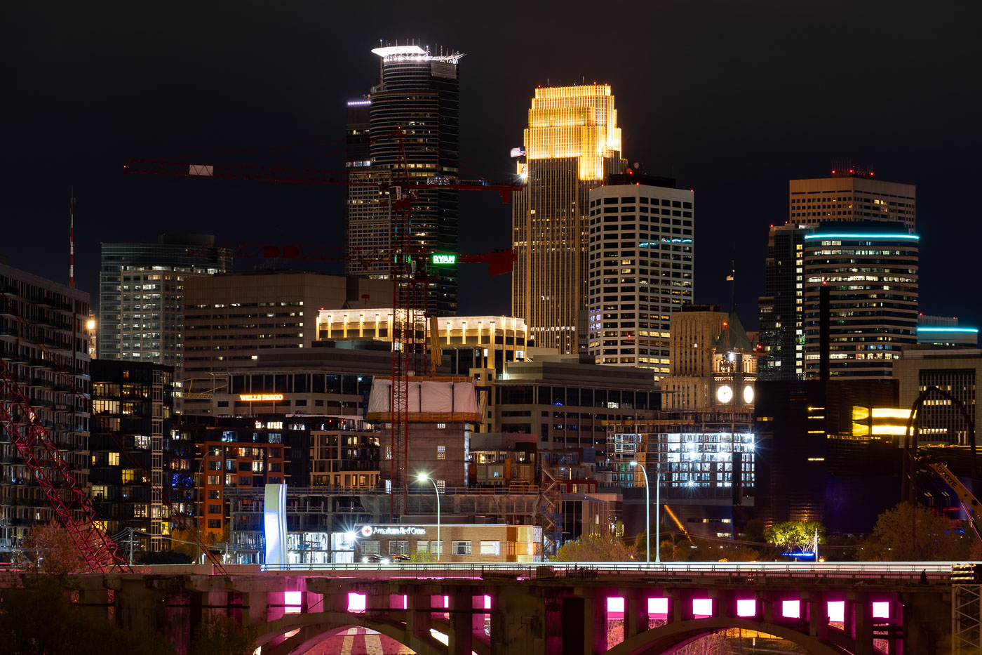
Minneapolis in Development
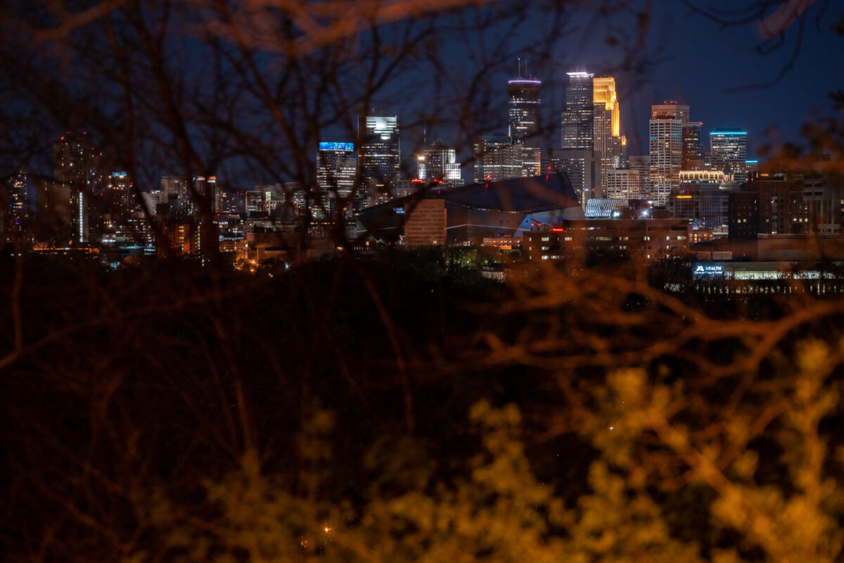
Tower cranes in downtown Minneapolis during constructon work on the 10th avenue bridge.

Minneapolis in Development
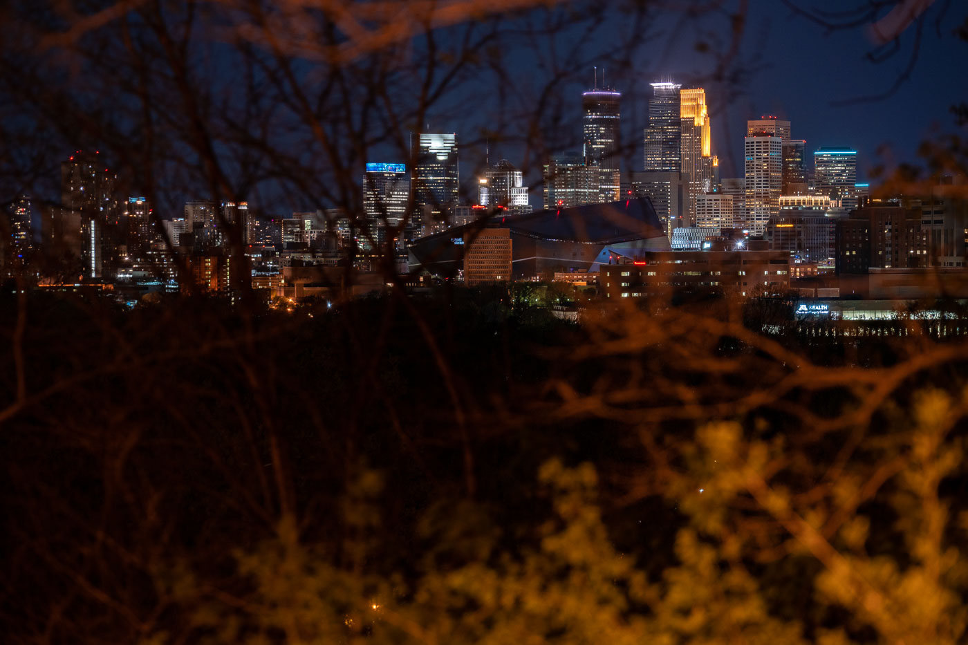
Minneapolis skyline at night from Witches Hat
Downtown Minneapolis as seen from the Prospect Park and Witches Hat. In my opinion, this is a very underrated view of the downtown skyline!

Minneapolis skyline from Witches Hat
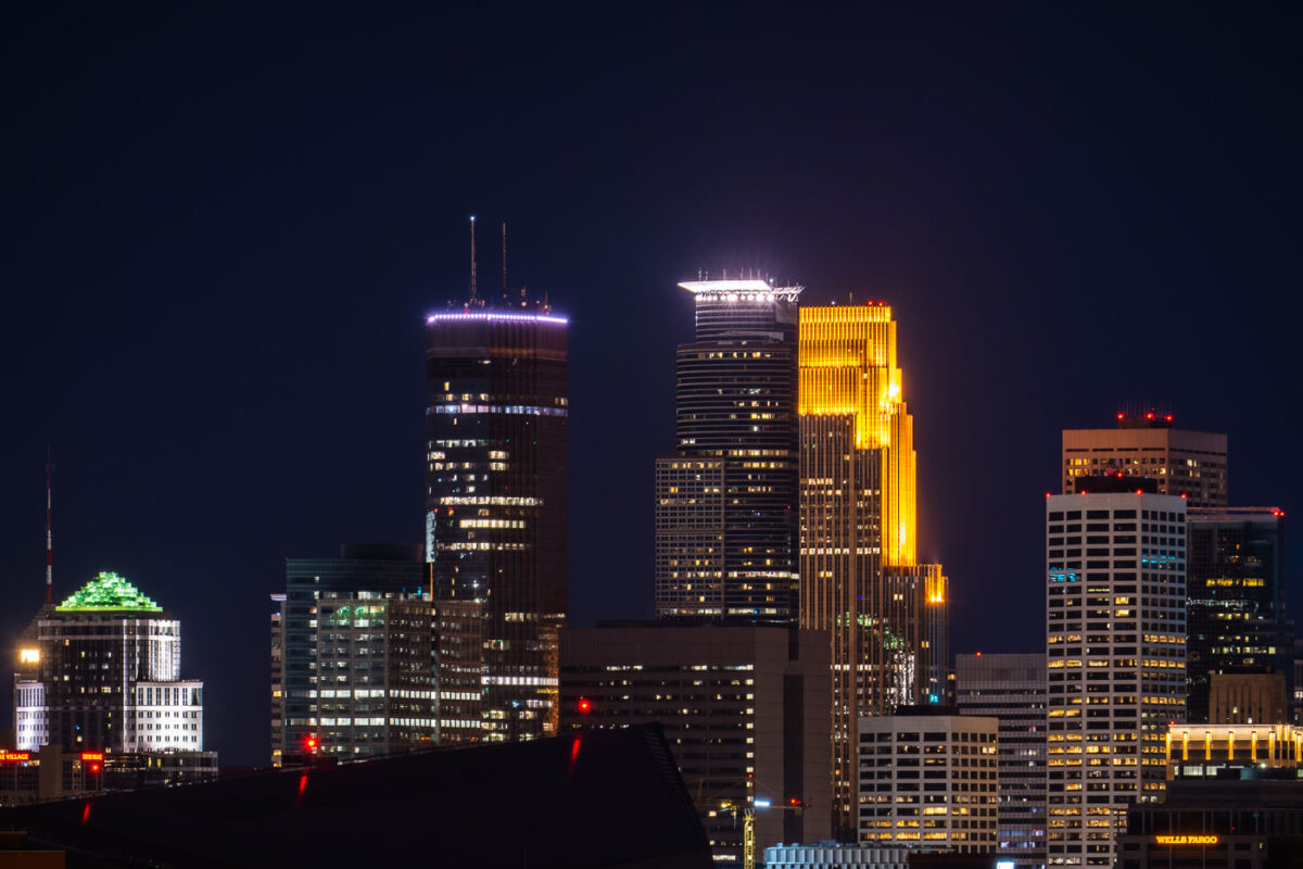
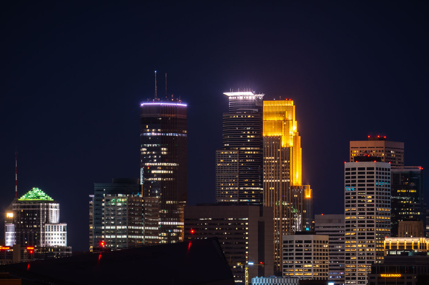
Downtown Minneapolis skyline with IDS Center, Wells Fargo Center, and Capella Tower at night.
Downtown Minneapolis skyline, Minnesota, includes IDS Center, Wells Fargo Center, and Capella Tower on May 6, 2020. The office towers are part of the city’s central business district, clustered around Nicollet Mall and the downtown core. IDS Center has long been Minnesota’s tallest building, while Wells Fargo Center is one of the city’s most recognizable high-rise office towers.

IDS Center and Wells Fargo Center, Minneapolis
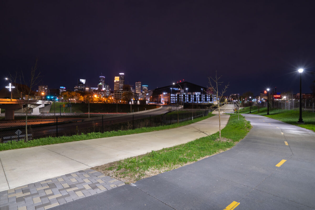
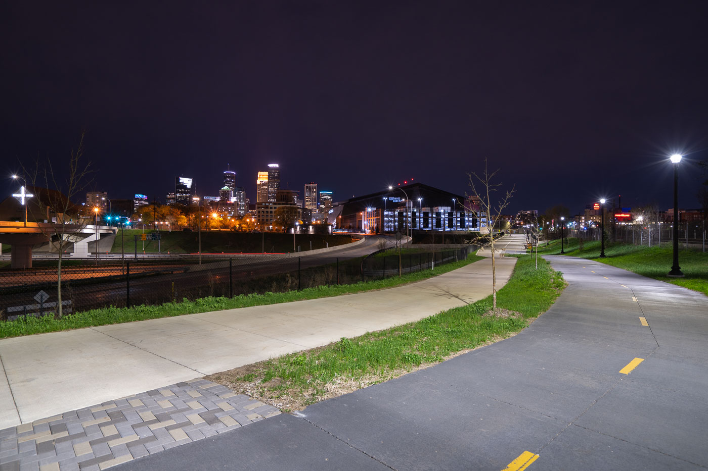
Samatar Crossing near Downtown Minneapolis
The Samatar Crossing shared use path near downtown Minneapolis. The path leads from Cedar Riverside to near US Bank Stadium.

Samatar Crossing near Downtown Minneapolis
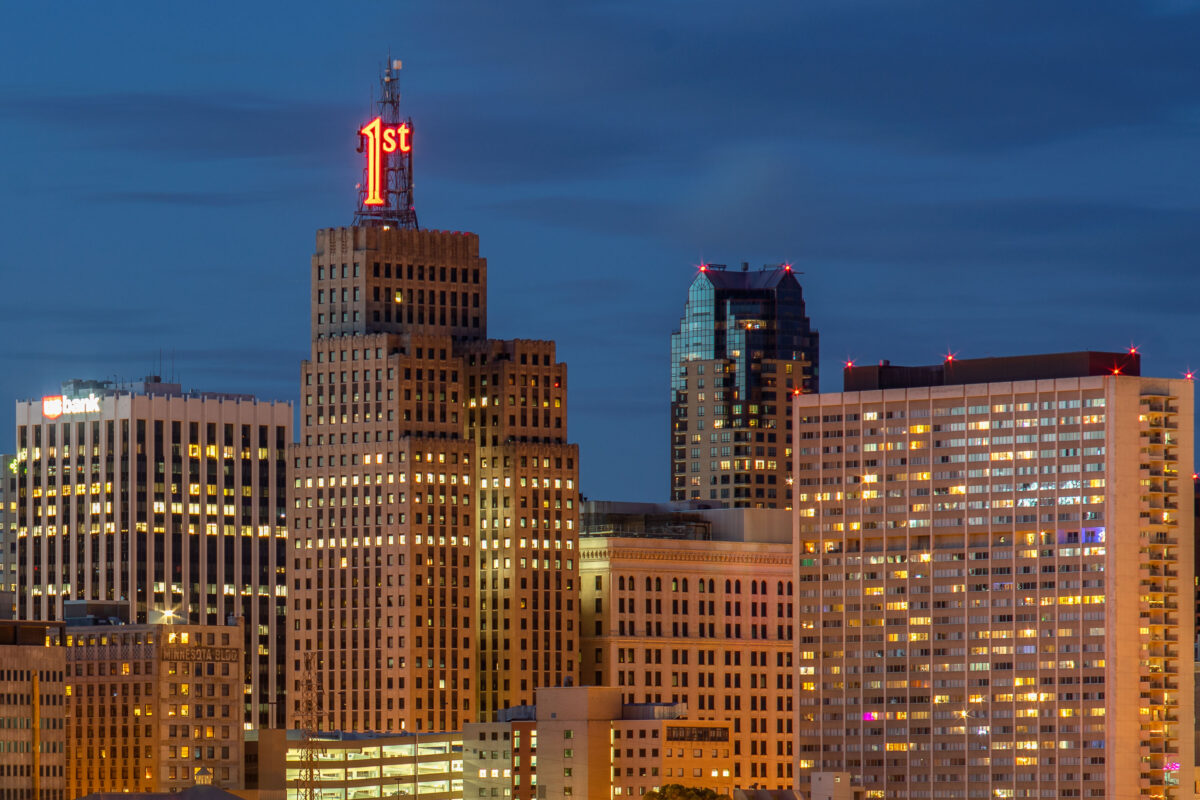
First National Bank Building with illuminated neon sign at dusk in downtown St. Paul.
The First National Bank Building dominates the St. Paul skyline at dusk. The Art Deco structure, completed in 1929, is identifiable by its distinctive "1st" neon sign atop the tower. Located on Bellows Street in downtown St. Paul, the building remains a prominent landmark in the city's commercial district.

First National Bank Building, St. Paul
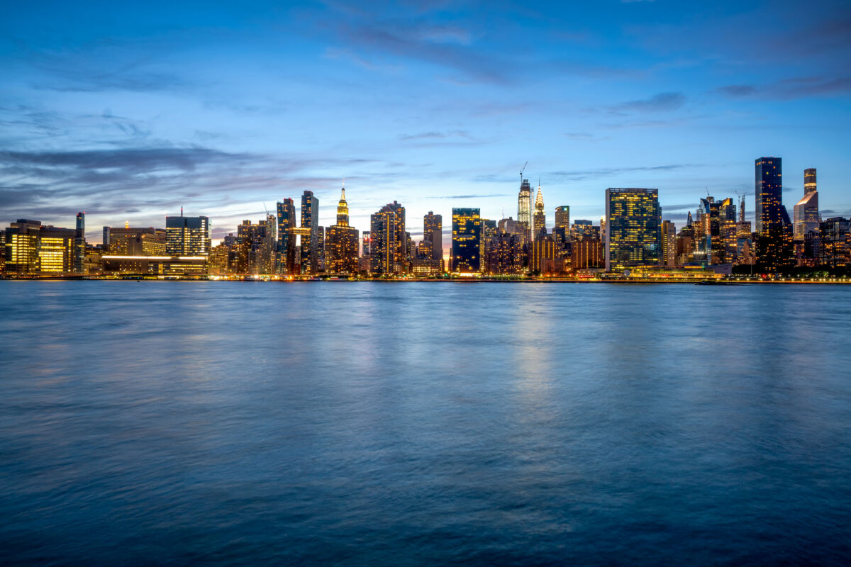
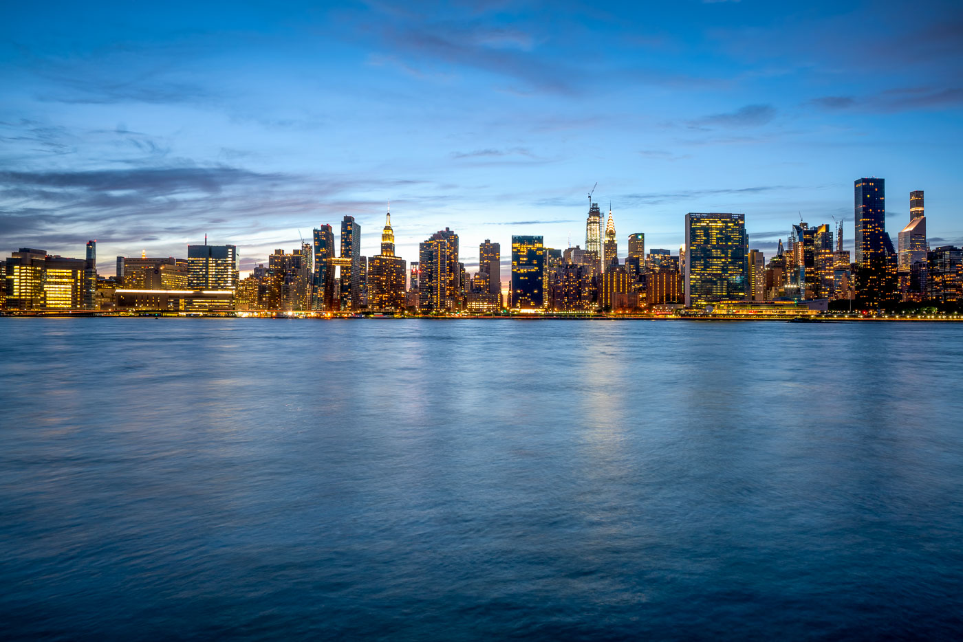
Midtown Manhattan skyline illuminated at dusk across the East River from Long Island City, Queens.
Midtown Manhattan rises across the East River as viewed from Long Island City in Queens. The Empire State Building, completed in 1931 to a height of 1,454 feet with its antenna, remains one of the skyline's most recognizable structures. Nearby, the Chrysler Building, finished in 1930, held the title of world's tallest building for less than a year before losing it to the Empire State Building. The East River separates Manhattan from Queens and Brooklyn, connecting New York Harbor to Long Island Sound as a tidal estuary rather than a true river. Long Island City, once dominated by factories and warehouses, has become one of the fastest-growing residential areas in New York City over the past two decades.

Manhattan Skyline Seen From Long Island City at Dusk
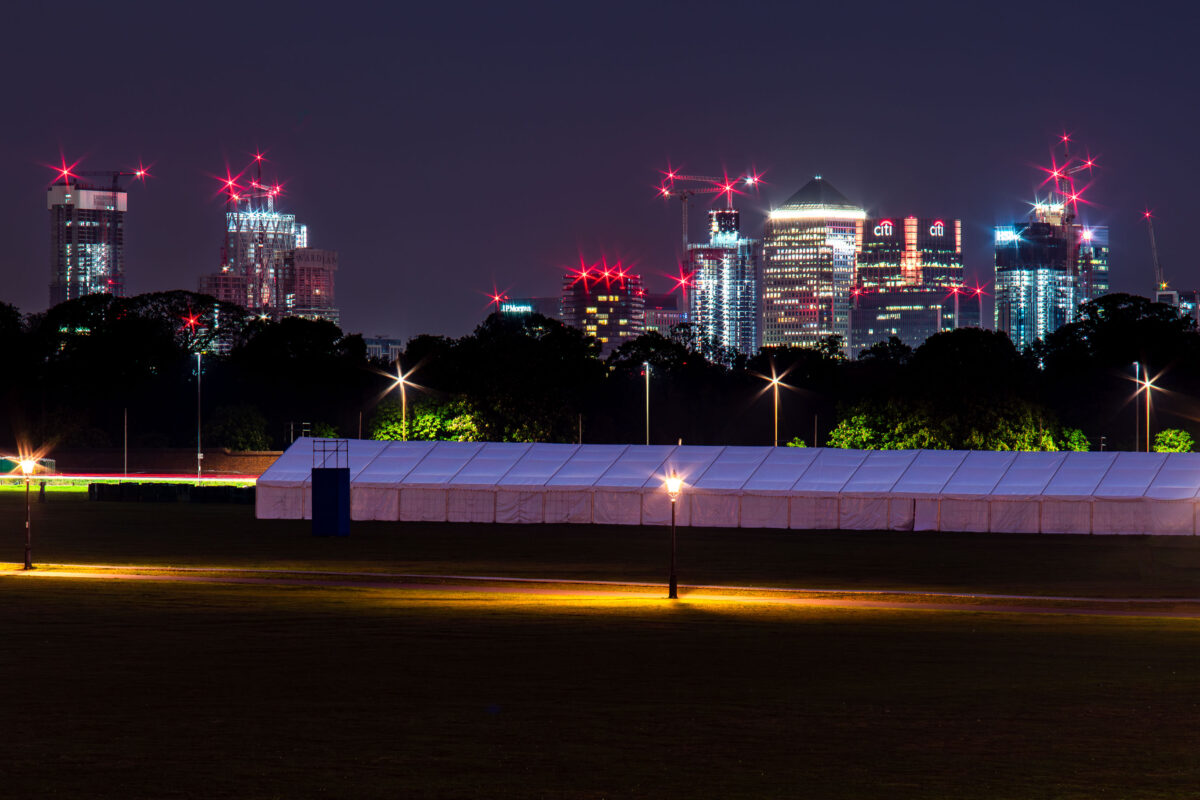
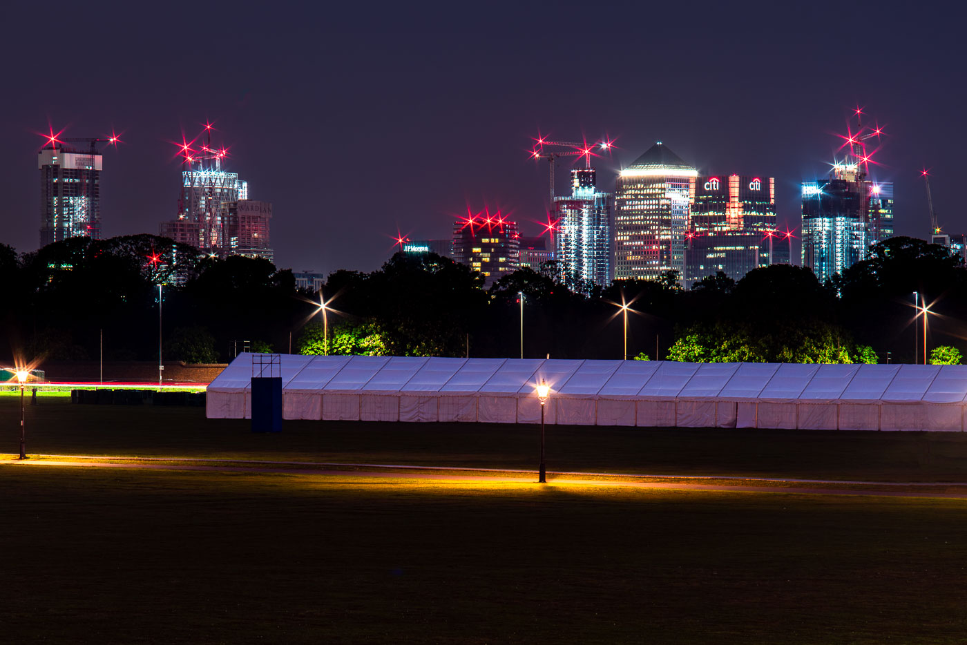
Canary Wharf rises beyond Greenwich Park, with a temporary event tent in the foreground.
Canary Wharf rises beyond Greenwich Park in southeast London, with One Canada Square and neighboring office towers visible above the treeline. A temporary event tent occupies the foreground parkland, with red aircraft warning lights and construction cranes marking the docklands skyline.

Canary Wharf from Greenwich Park, London
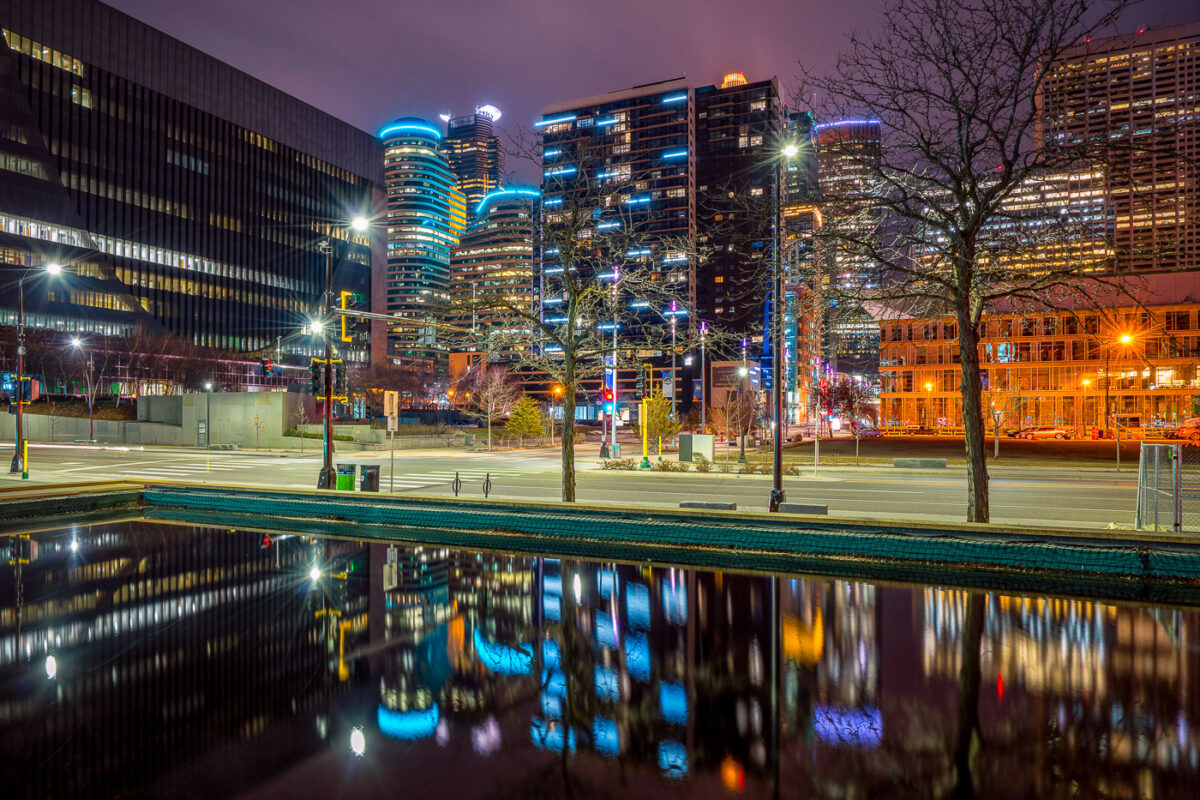
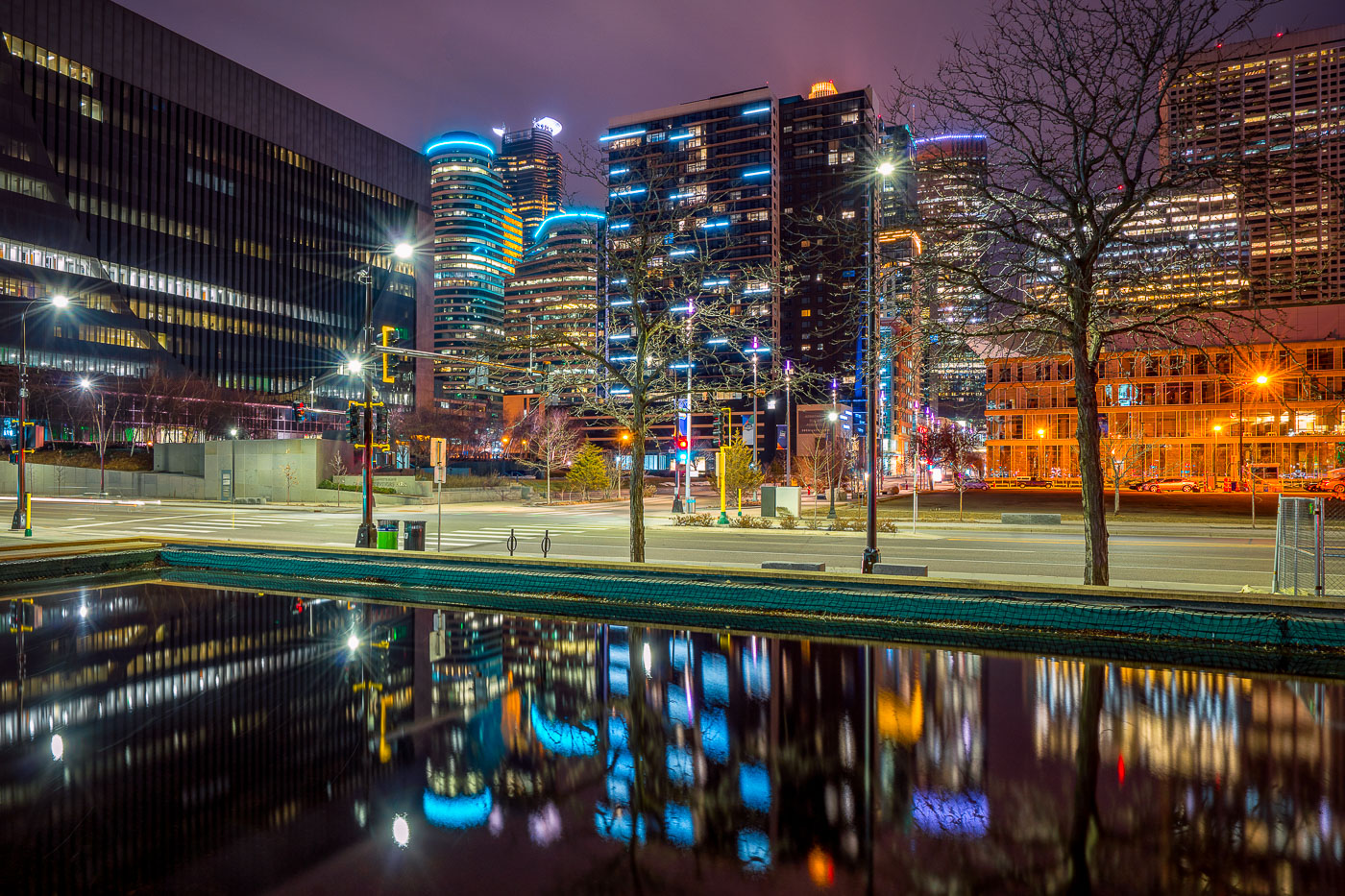
Illuminated downtown Minneapolis office and residential towers rise above a still water feature near Nicollet Mall at night.
Downtown Minneapolis's towers rise near Nicollet Mall, including Capella Tower and the Fifth Street Towers, among office buildings and residential high-rises built up in the 2000s and 2010s.

Minneapolis Skyline Reflected in a Water Feature Near Nicollet Mall
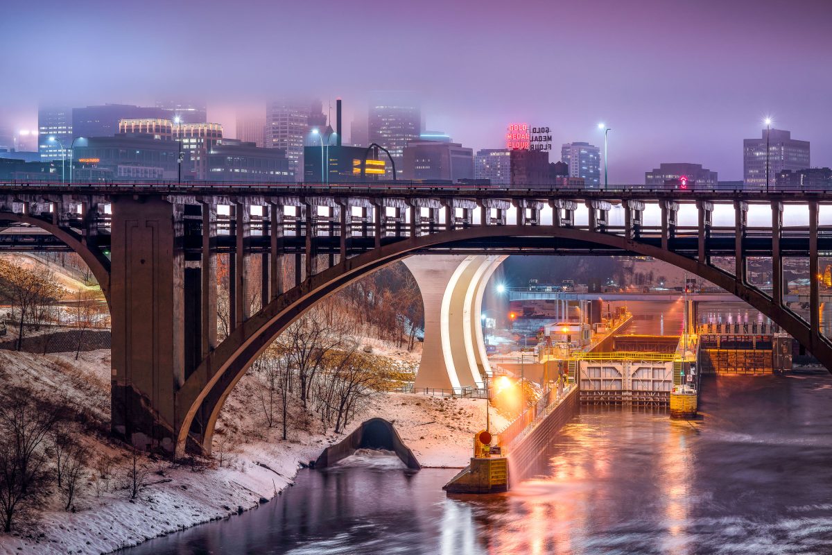
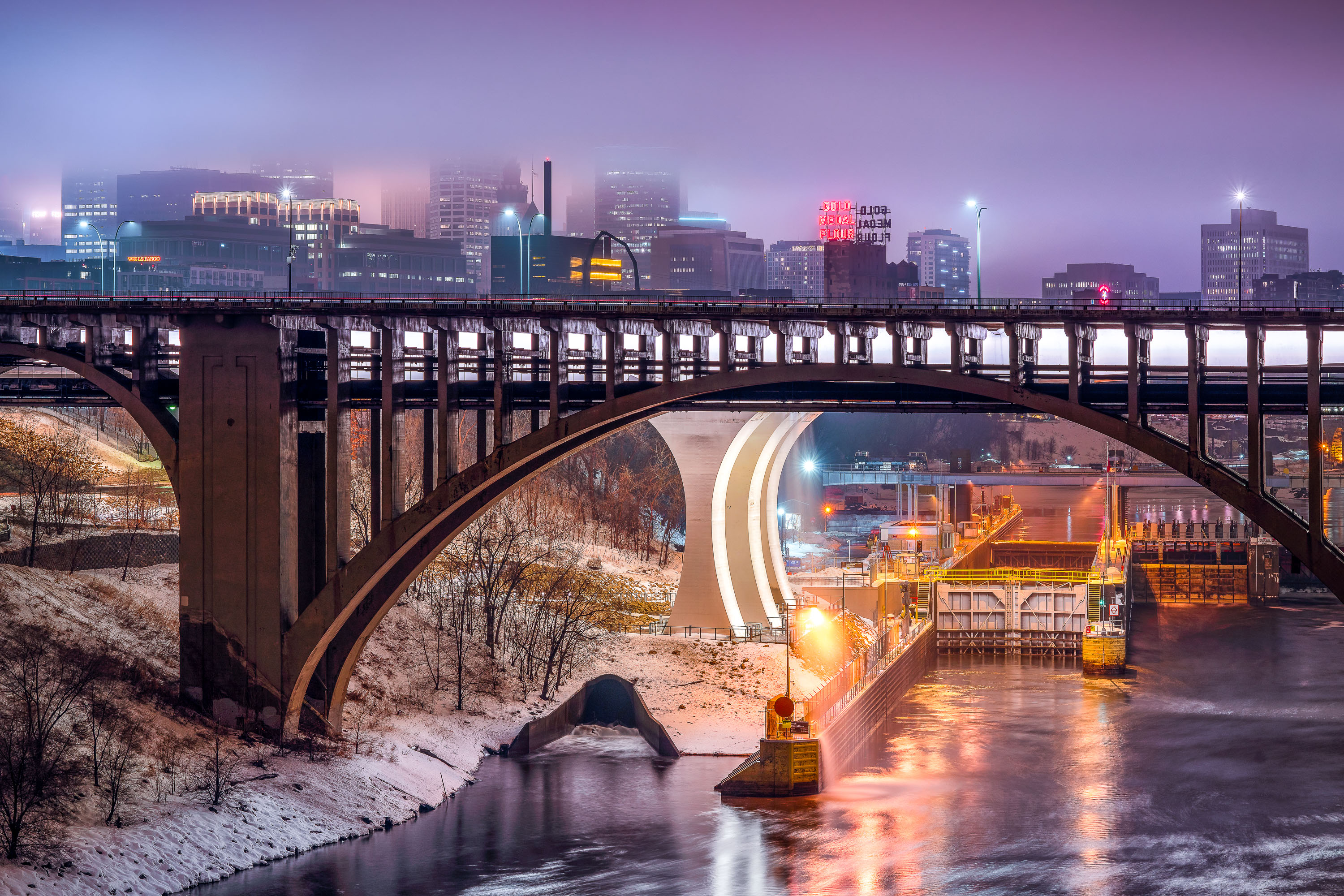
Third Avenue Bridge crosses the Mississippi River with the Gold Medal Flour sign and downtown Minneapolis skyline illuminated at dusk.
The Third Avenue Bridge crosses the Mississippi River just downstream from Saint Anthony Falls, linking downtown Minneapolis to the university area to the east. Completed in 1918, it's a concrete arch span designed by engineer Kristoffer Olsen Oustad with a slight curve to fit the site's geology. Below it, the Lower St. Anthony Falls Lock and Dam helps vessels pass the falls, while the Gold Medal Flour sign, raised above the old Washburn-Crosby mill site in 1908, still marks the skyline behind it.

Foggy Dusk at Third Avenue Bridge and St. Anthony Falls
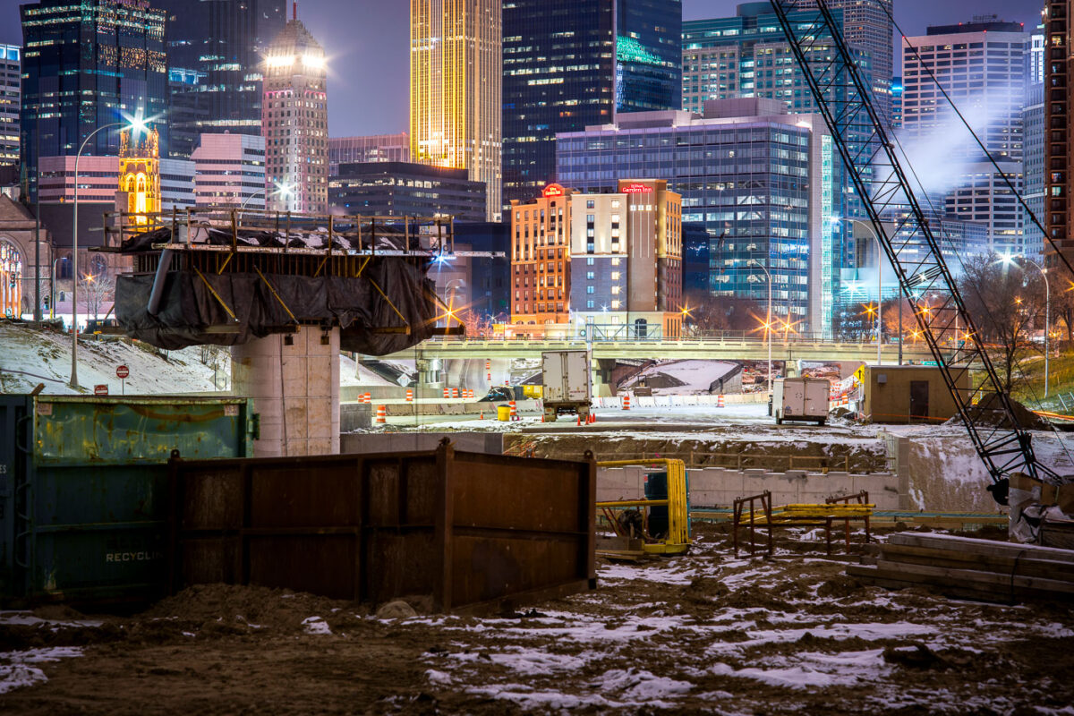
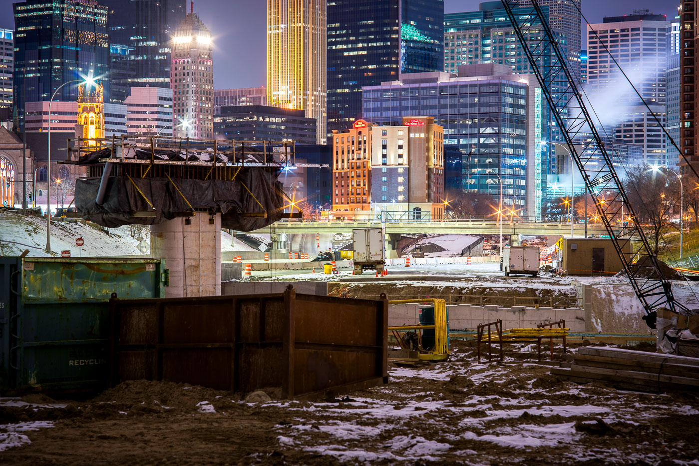
I-35W highway construction site in downtown Minneapolis with illuminated office towers and buildings visible beyond the freeway trench.
I-35W construction in downtown Minneapolis continues in the freeway trench south of the central business district.

Night Construction Along I-35W Beneath the Minneapolis Skyline
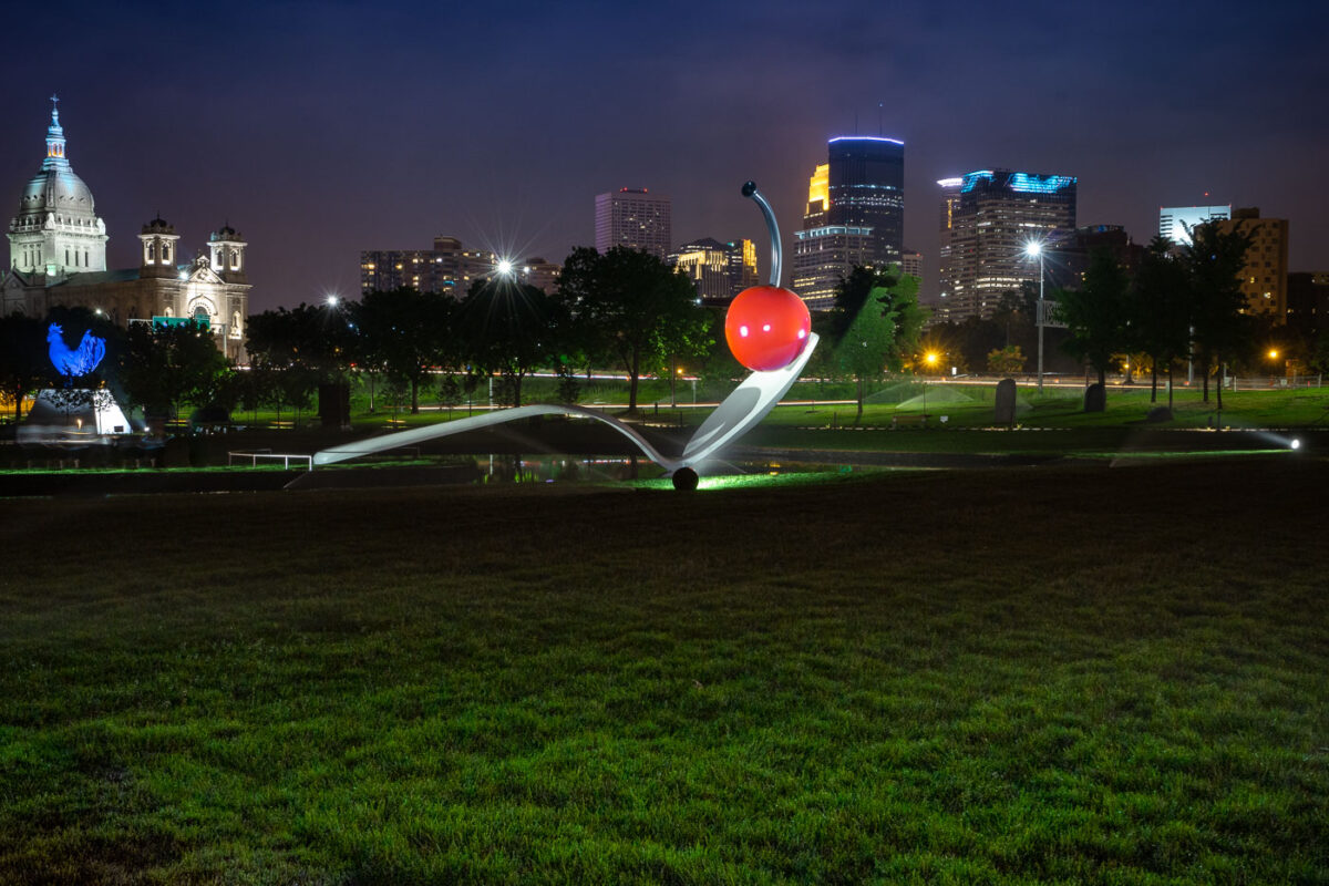
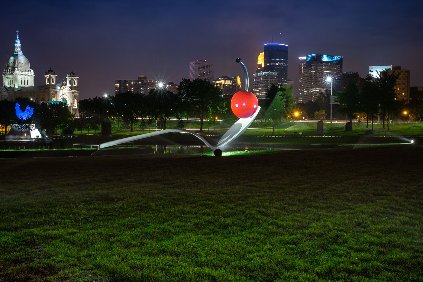
Spoonbridge and Cherry in the Minneapolis Sculpture Garden with the downtown skyline behind it.
Spoonbridge and Cherry is located in the Minneapolis Sculpture Garden near the Walker Art Center in Minneapolis. Designed by Claes Oldenburg and Coosje van Bruggen, the sculpture was installed in 1988 as part of the garden’s opening.

Spoonbridge and Cherry with Minneapolis Skyline
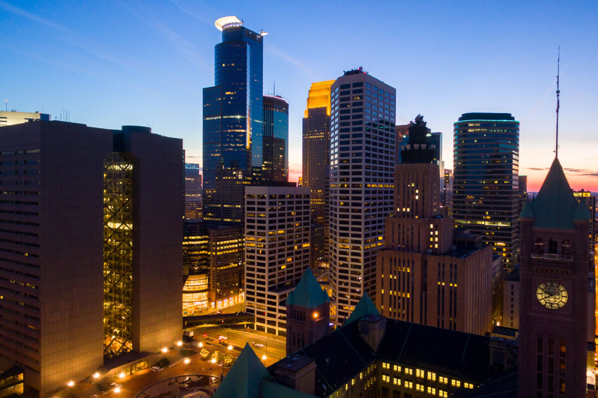
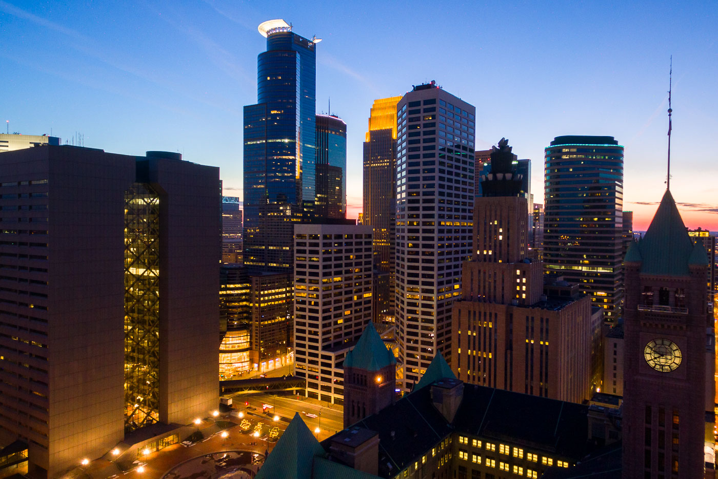
Minneapolis City Hall and downtown skyline at dusk with illuminated office and residential towers.
Minneapolis City Hall is a Romanesque Revival building completed in 1909. Its clock tower stands 345 feet tall and holds one of the world's largest handcarved marble statues, the Father of Waters, in its rotunda.

Minneapolis City Hall’s Clock Tower Beneath the Downtown Skyline
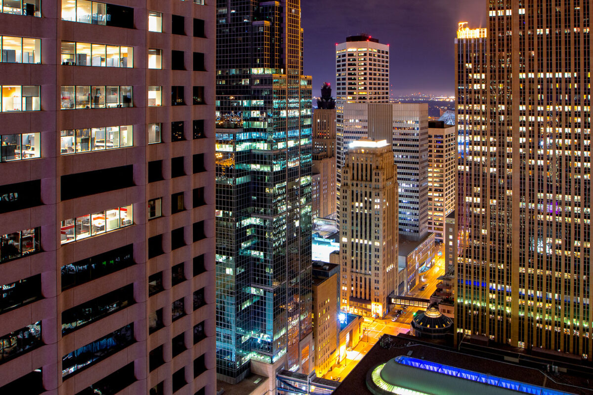
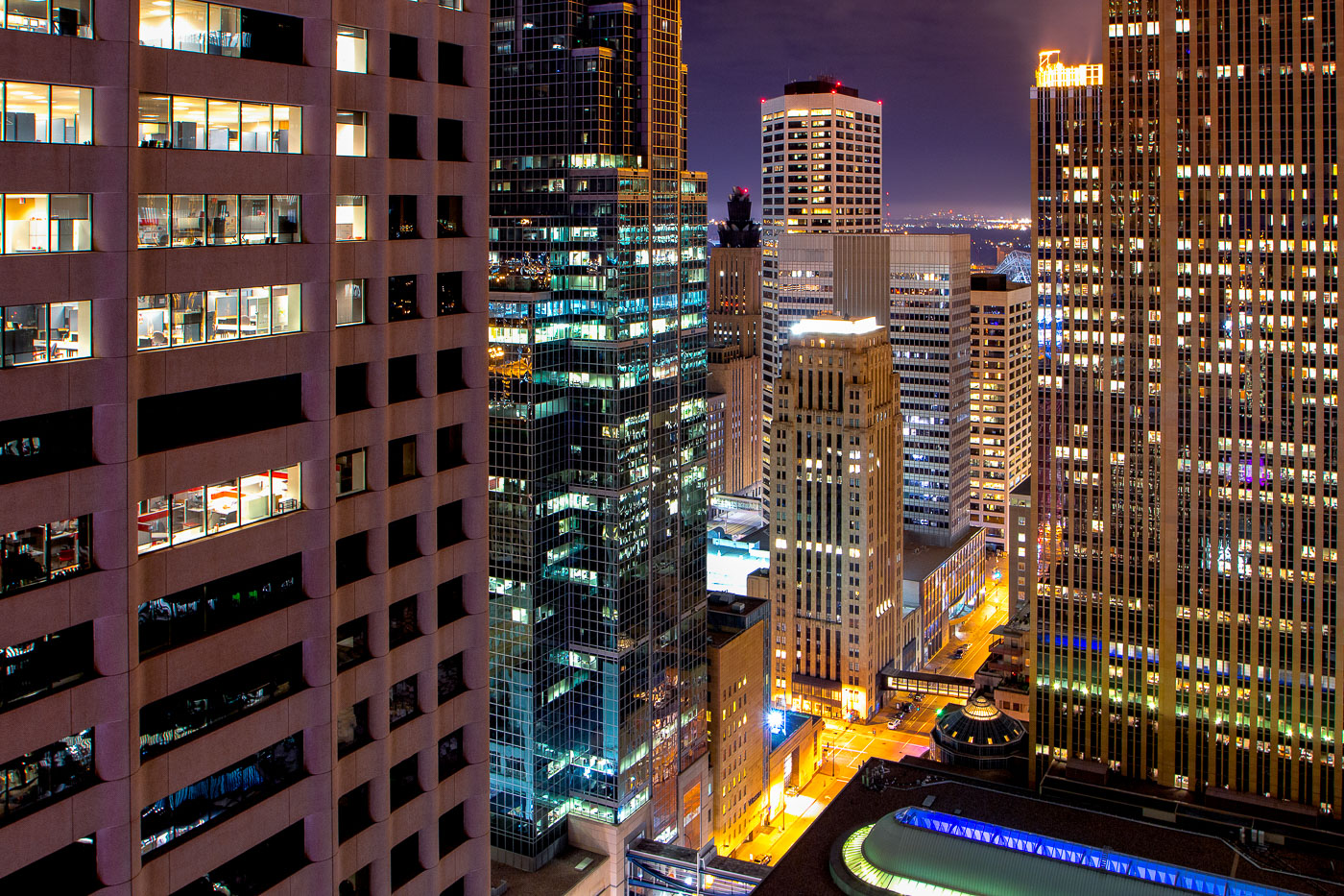
Downtown Minneapolis skyscrapers lit at night.
The core of Downtown Minneapolis is illuminated at night, showcasing a collection of office buildings and architectural styles. These structures represent the city's commercial and financial hub, with many dating back to the mid-20th century and later. The lights indicate ongoing activity within these business centers, reflecting their continued use for commerce and employment. This view highlights the density and verticality of the urban environment, characteristic of major American cities.

Downtown Minneapolis Buildings at Night
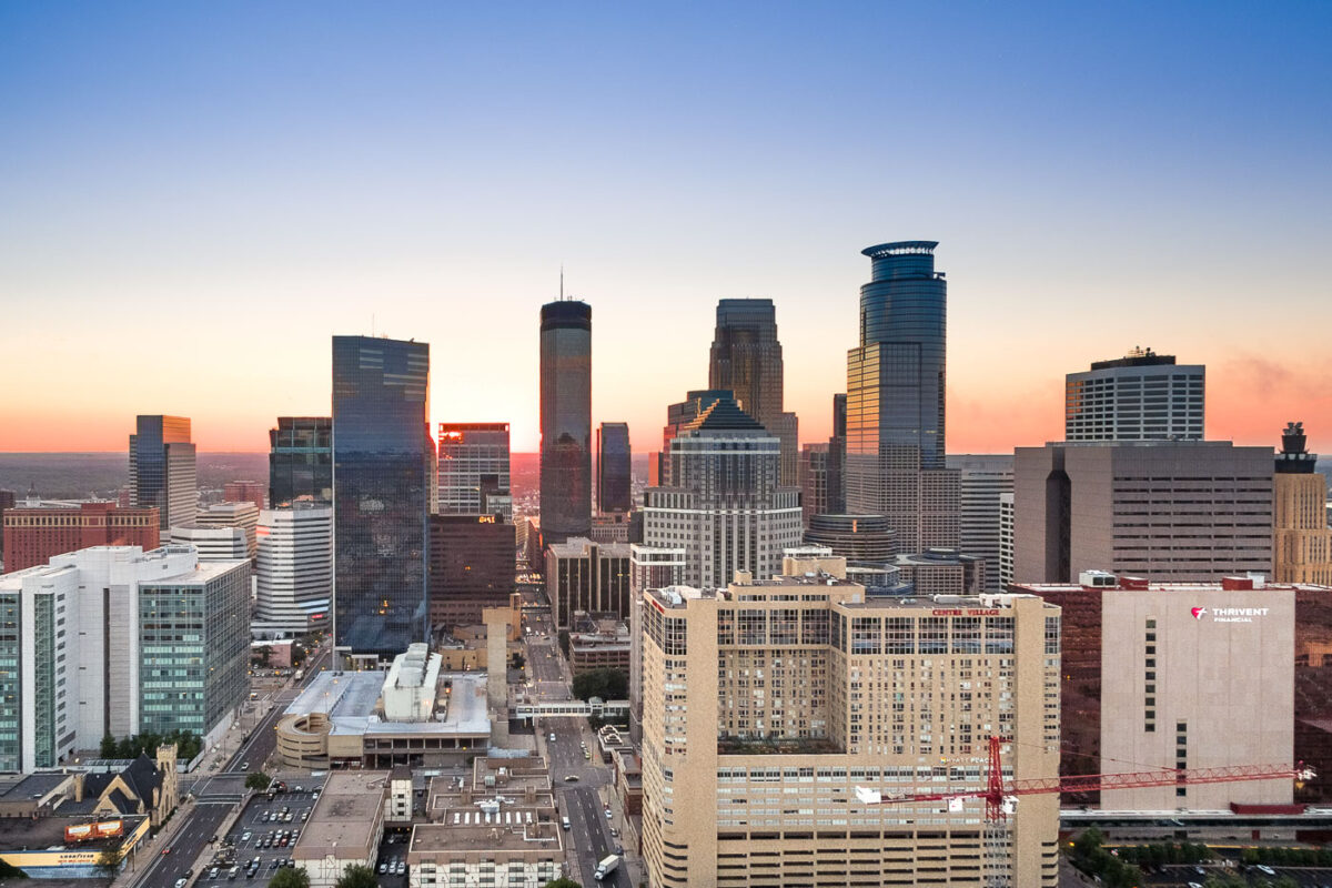
Minneapolis downtown skyline at sunset, showing the IDS Center, Capella Tower, and surrounding buildings.
Downtown Minneapolis is the city's business center, anchored by the IDS Center and Capella Tower. The IDS Center, completed in 1972, stands 792 feet tall and is the tallest building in Minnesota, while Capella Tower, finished in 1992, rises 775 feet with its signature crown of steel arches.

Capella Tower and the IDS Center Rise Above Downtown Minneapolis
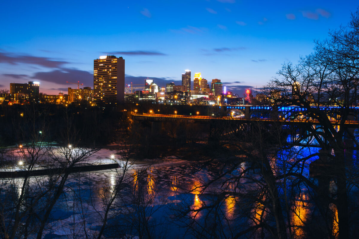
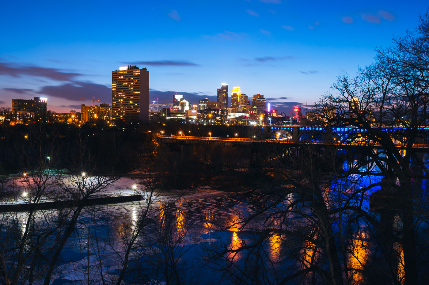
Minneapolis downtown skyline across the Mississippi River at blue hour, with a bridge and partial river ice.
Minneapolis downtown skyline rises across the Mississippi River at blue hour. The city center stands on the east bank of the river, with a bridge carrying traffic and lighting along the waterfront. Partial ice covers the river in the foreground during early March.

Minneapolis Downtown Skyline at Blue Hour Over Mississippi River
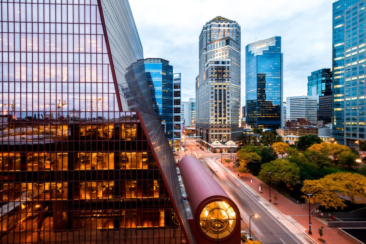
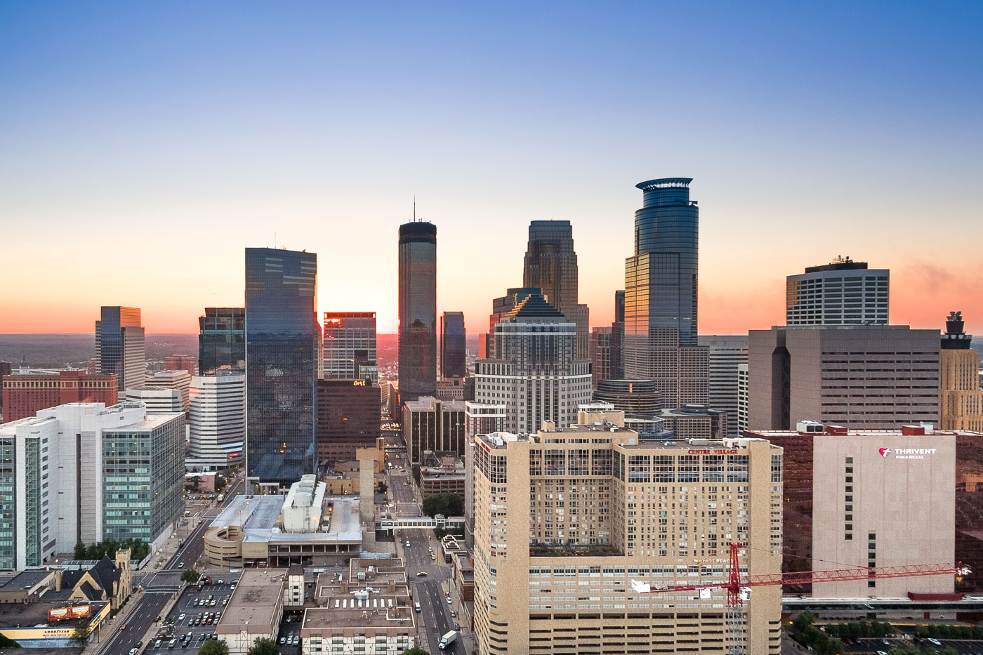
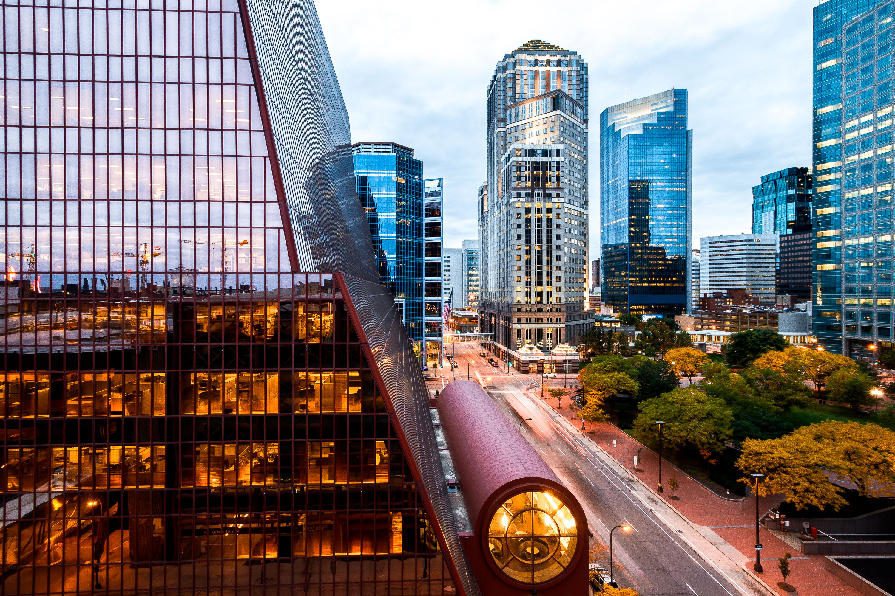
Thrivent Financial building with illuminated circular window overlooking downtown Minneapolis skyline at dusk.
Thrivent Financial Corporate Center anchors this stretch of downtown Minneapolis, its curved glass form designed by Ralph Rapson and completed in 1981 as the headquarters for what was then Lutheran Brotherhood. The tower rises alongside the Accenture Tower, formerly known as the AT&T Tower, a 1991 postmodern high-rise designed by Skidmore, Owings & Merrill.

Thrivent Financial Building and Skyline, Downtown Minneapolis
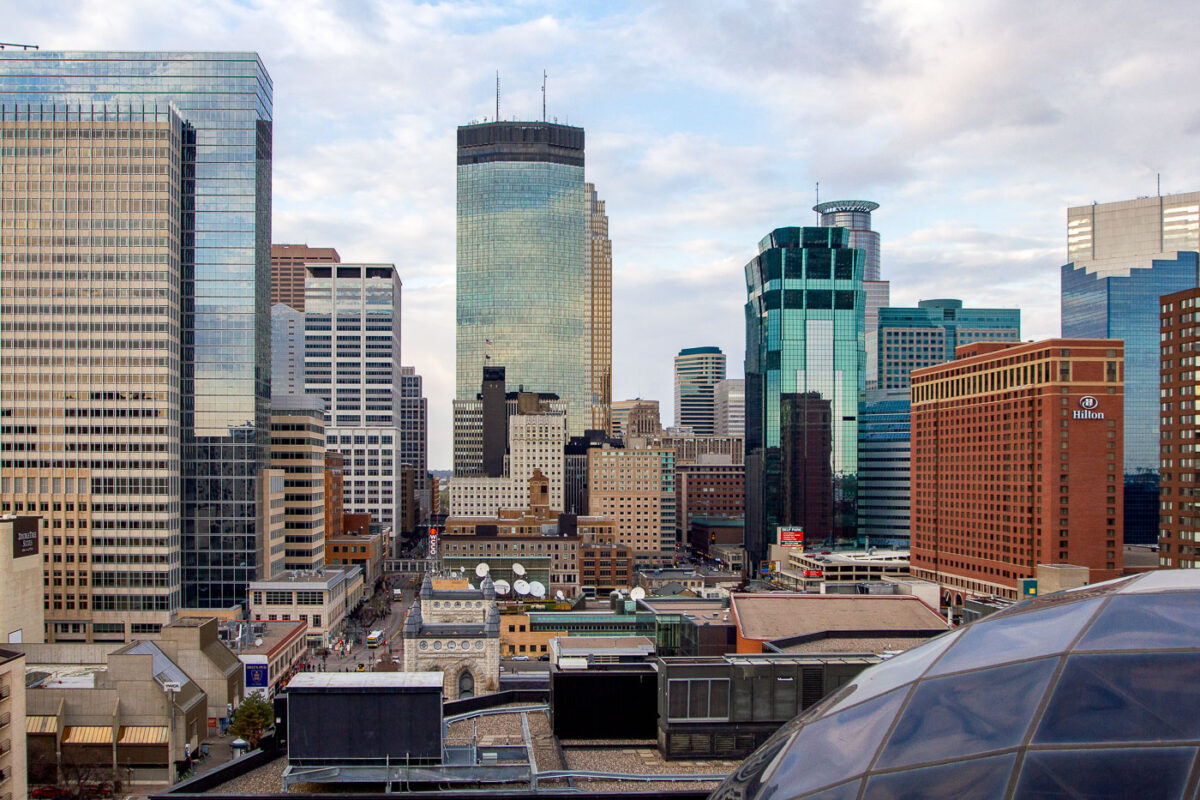
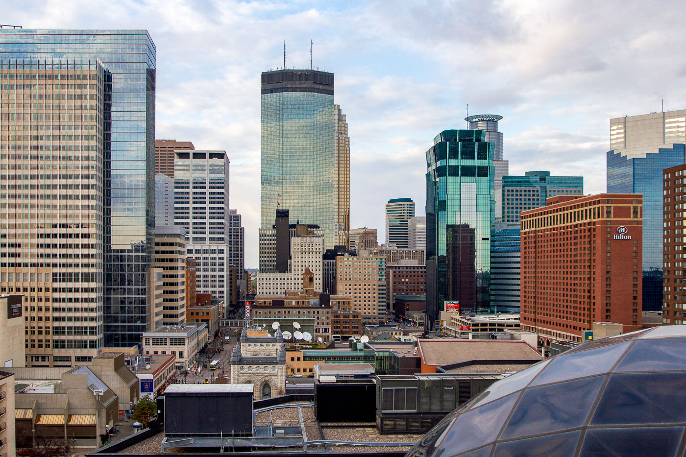
Minneapolis downtown skyline featuring the IDS Center and surrounding office and hotel towers.
The Minneapolis skyline is dominated by several prominent buildings, including the IDS Center, the city's first modern skyscraper completed in 1972, and the Hilton Minneapolis, a large hotel that opened in 1991. The IDS Center, designed by Philip Johnson and John Burgee, was once the tallest building in the Midwest and remains a significant architectural landmark.

Capella Tower and Hilton Minneapolis Rise Above Downtown
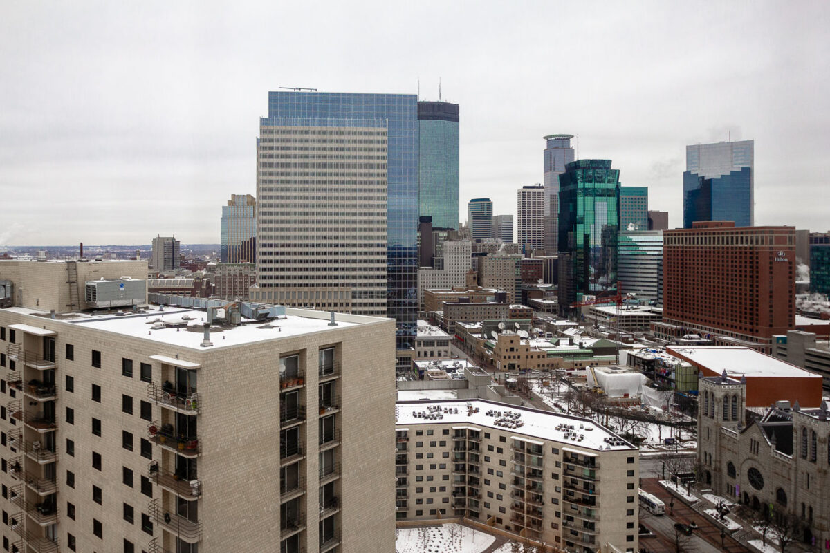
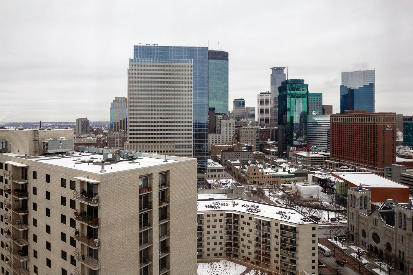
Downtown Minneapolis skyline from the Hyatt Regency Minneapolis, with snow-covered rooftops and office towers.
Downtown Minneapolis is visible from the Hyatt Regency Minneapolis. The skyline includes office towers, hotels, and church buildings in the city’s central business district. Snow covers rooftops and streets in winter.

Downtown Minneapolis Skyline from Hyatt Hotel

Downtown St. Paul, Minnesota skyline at night with the Cathedral of Saint Paul on the right.
Downtown St. Paul, Minnesota, is illuminated at night in September 2012. The skyline includes office towers, public buildings, and the Cathedral of Saint Paul on the right. St. Paul is the state capital and Ramsey County seat.

Downtown St. Paul Skyline at Night, September 2012

Built in Minneapolis

Minneapolis Photographer

Browse by location, move through long-running series, or start with recent work.