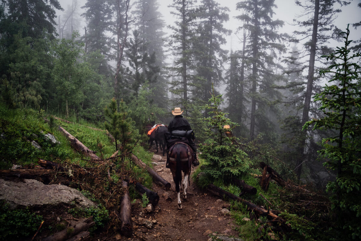
Horse Photography

Black Elk Peak (formerly Harney Peak) is the highest natural point in South Dakota, United States. It lies in the Black Elk Wilderness area, in southern Pennington County, in the Black Hills National Forest. The peak lies 3.7 mi (6.0 km) west-southwest of Mount Rushmore. At 7,242 feet (2,207 m), it has been described by the Board on Geographical Names as the highest summit in the United States east of the Rocky Mountains. Though part of the North American Cordillera, it is generally considered to be geologically separate from the Rocky Mountains. Lost Mine peak in the Chisos mountains of Texas, at an elevation of 7,535 feet, is the furthest east peak within the continental United States above 7,000 feet. Source: Wikipedia

Black Elk Peak (Formerly Harney Peak)

Black Elk Peak (formerly Harney Peak) is the highest natural point in South Dakota, United States. It lies in the Black Elk Wilderness area, in southern Pennington County, in the Black Hills National Forest. The peak lies 3.7 mi (6.0 km) west-southwest of Mount Rushmore. At 7,242 feet (2,207 m), it has been described by the Board on Geographical Names as the highest summit in the United States east of the Rocky Mountains. Though part of the North American Cordillera, it is generally considered to be geologically separate from the Rocky Mountains. Lost Mine peak in the Chisos mountains of Texas, at an elevation of 7,535 feet, is the furthest east peak within the continental United States above 7,000 feet. Source: Wikipedia