Train Station

193 photos · 2005–2026

193 photographs tagged Train Station, 2005–2026.
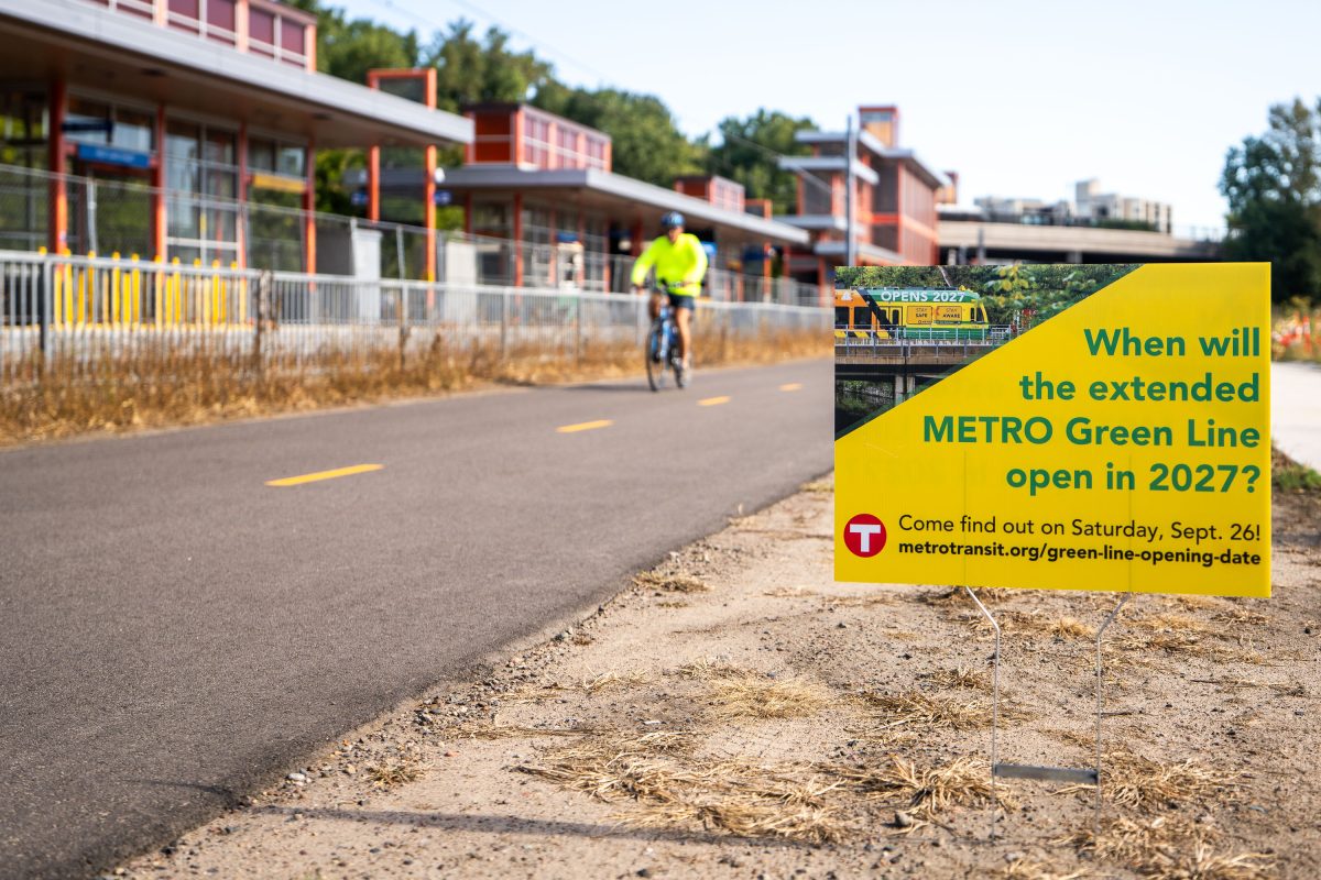
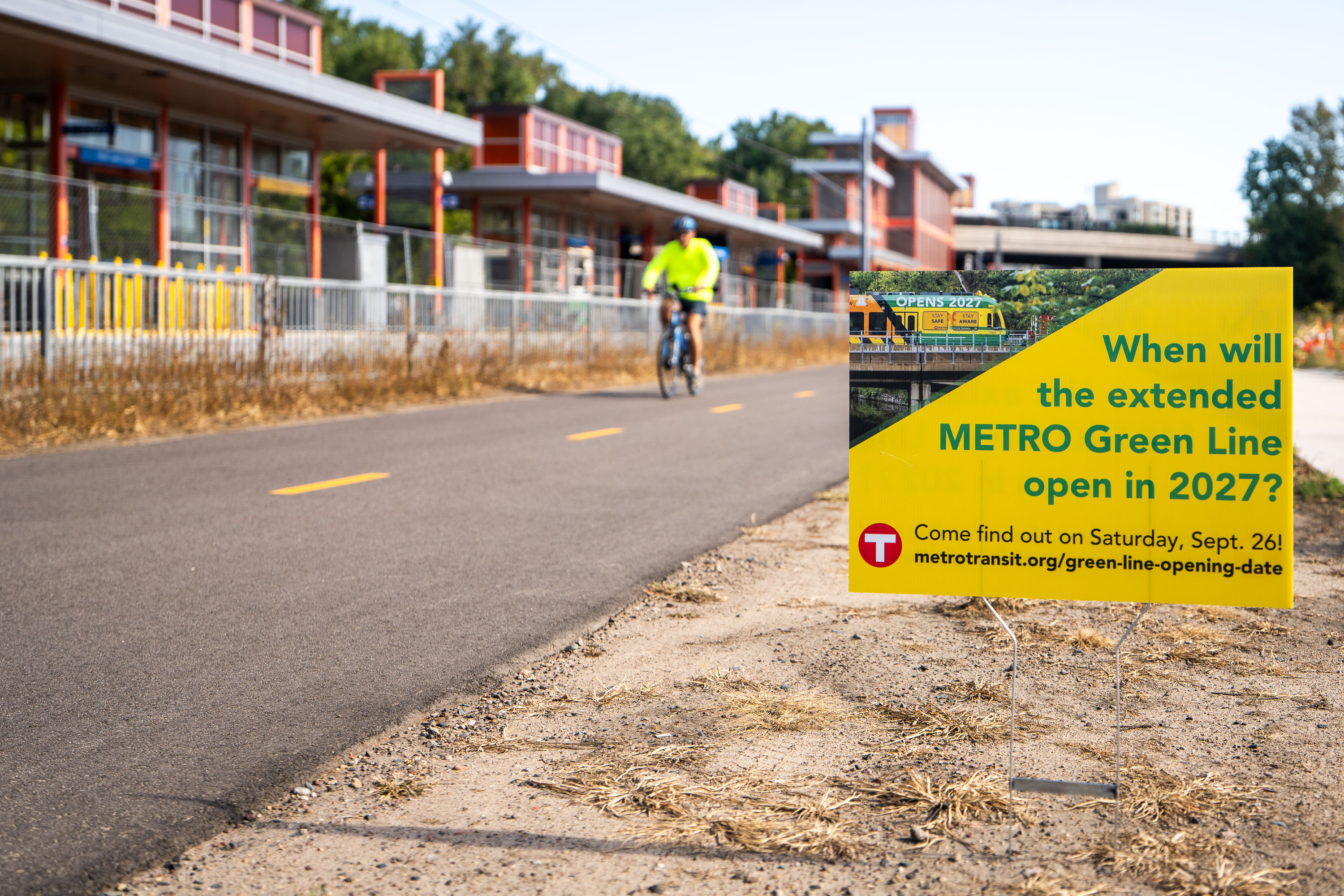
Cyclist rides past yellow Metro Transit sign announcing Green Line Extension opening date event on September 26.
A sign mentioning a September 26, 2026 event where Metro Transit will announce the opening date of the Green Line Extension. The project has been almost ten years in the making.

Yard Sign Teases METRO Green Line Extension Opening Date
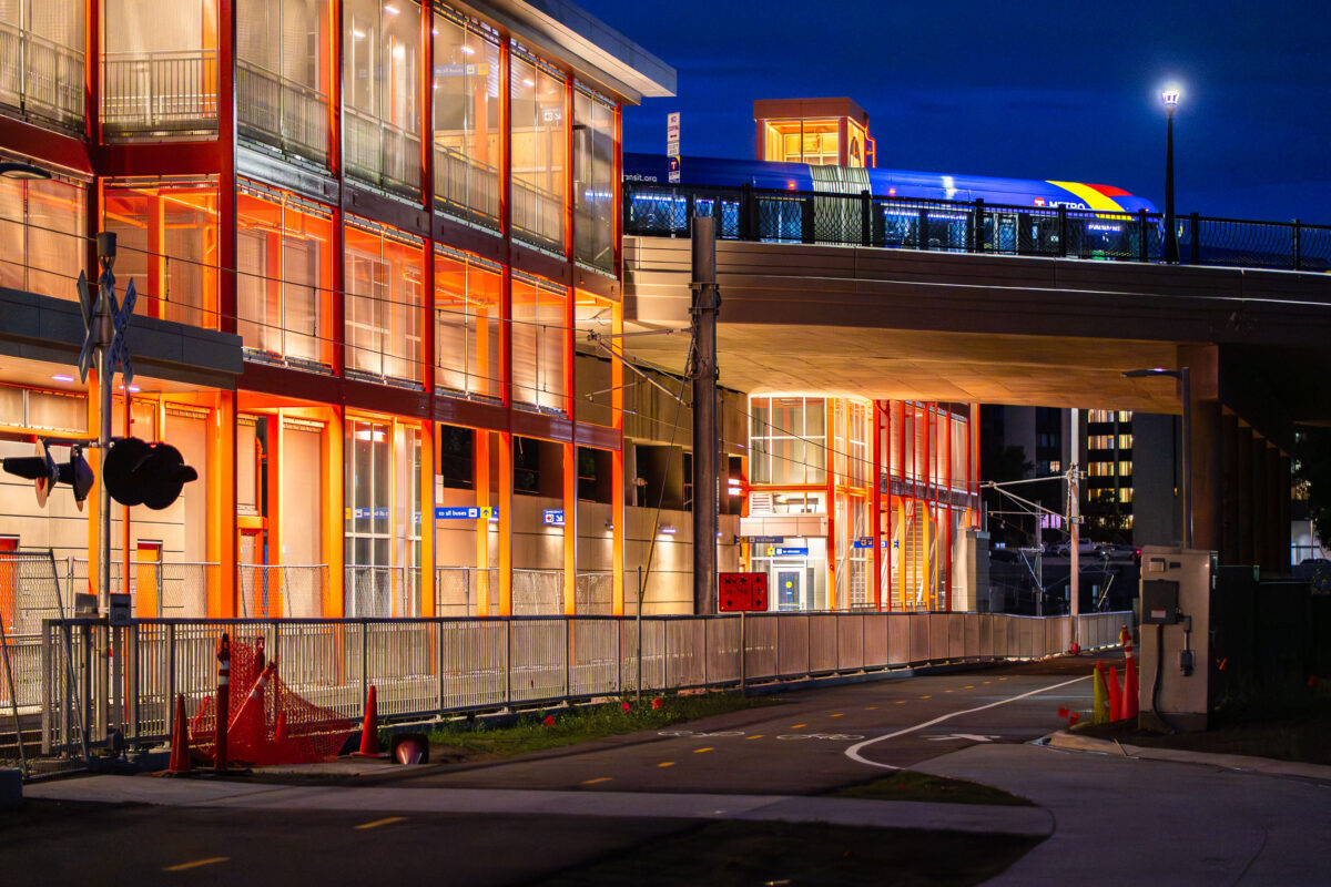
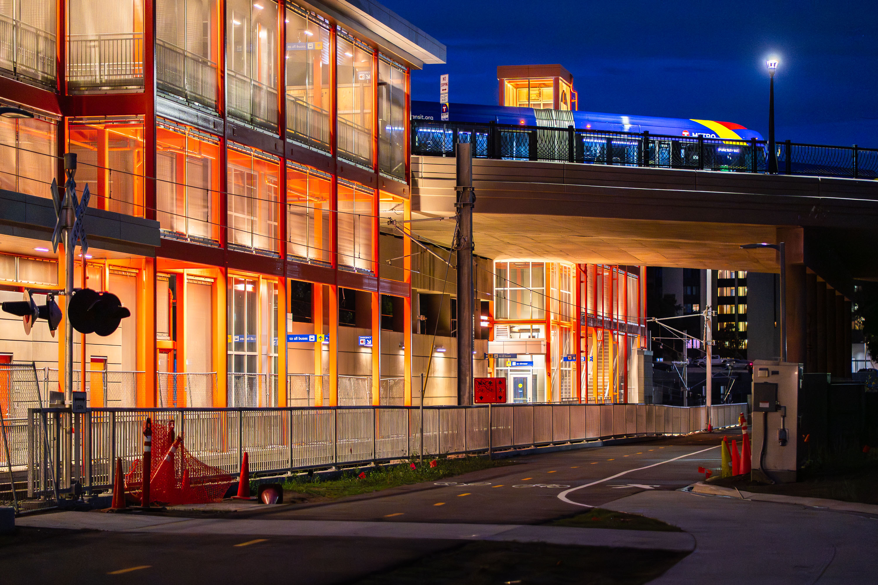
West Lake Street Station, a new Metro Transit light rail station in Minneapolis, illuminated at night during testing operations.
The West Lake Street Station in Minneapolis. The new train station on the Green Line Extension will have passengers beginning next year. The trains are currently in testing. Above, a Metro Transit bus stops on Lake Street.

Test Train Crosses Above West Lake Street Station at Night
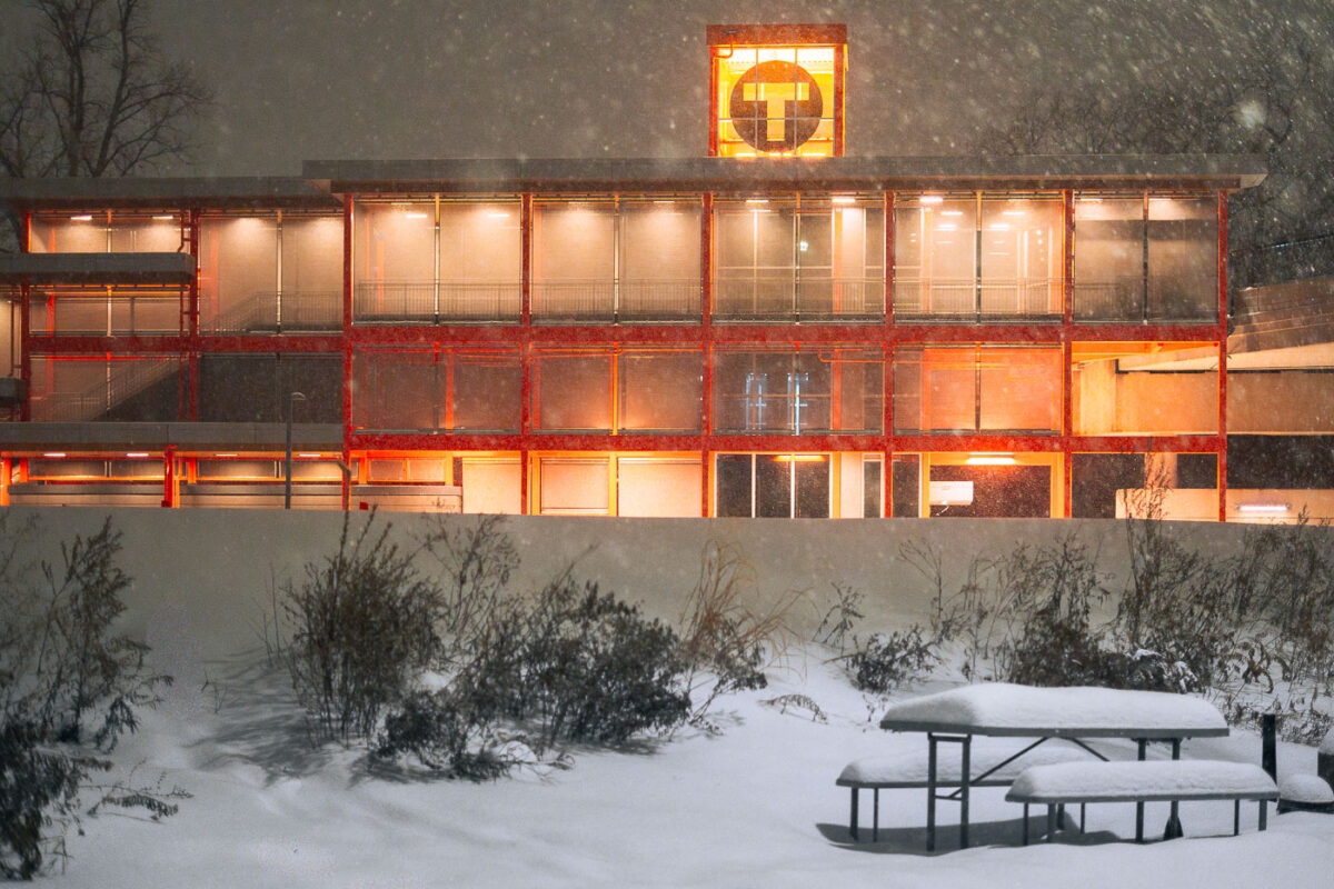
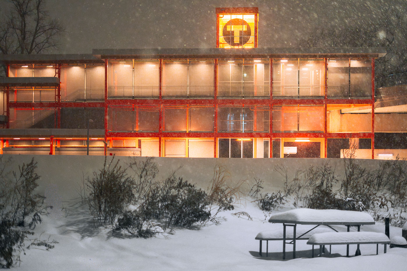
Illuminated West Lake Street light rail station in Minneapolis during snowfall at dusk.
Really pretty snow tonight in Minneapolis. Here's the new West Lake Street train station, with the orange still continuing to grow on me. I'm not there yet.. but getting closer.

Snowy Night at West Lake Street Station
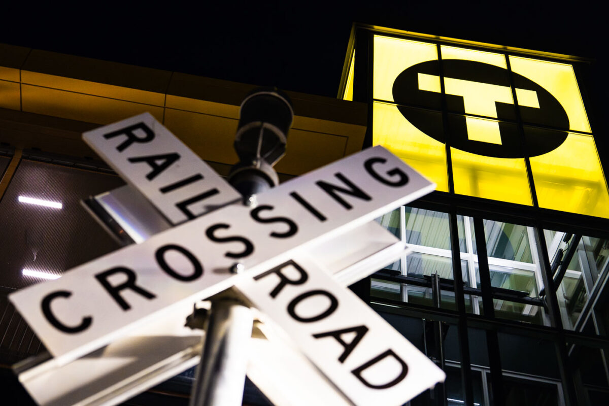
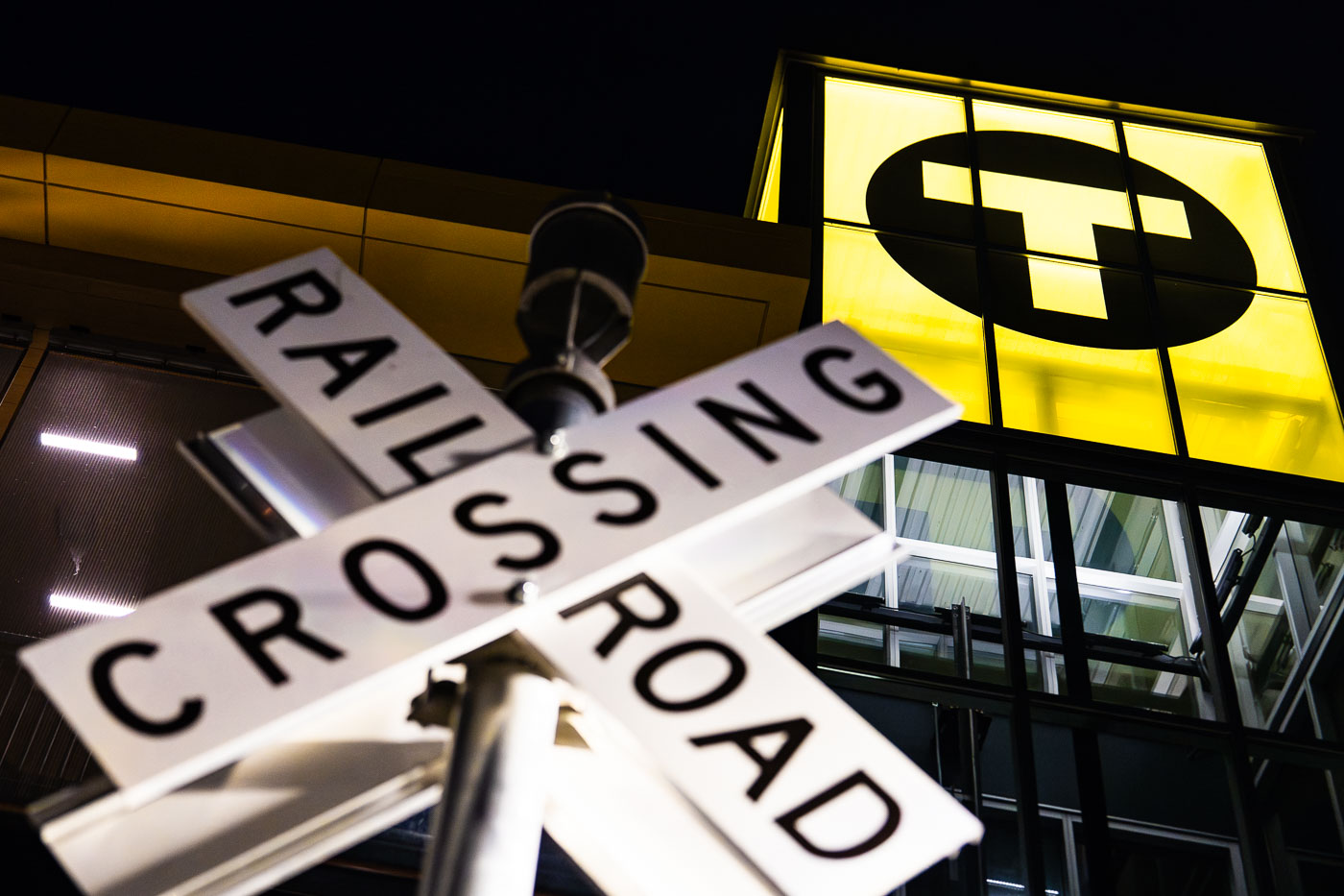
Railroad crossing sign in front of illuminated Bassett Creek Valley Station during Metro Transit green line extension
A railroad crossing sign stands in front of the new Bassett Creek Valley Station in Minneapolis at dusk. The station is part of the still under construction Metro Transit green line extension that will connect Eden Prairie to Downtown Minneapolis to St. Paul. The new train line is set to open in 2027.

Rail Crossing Sign at Bassett Creek Valley Station at Night
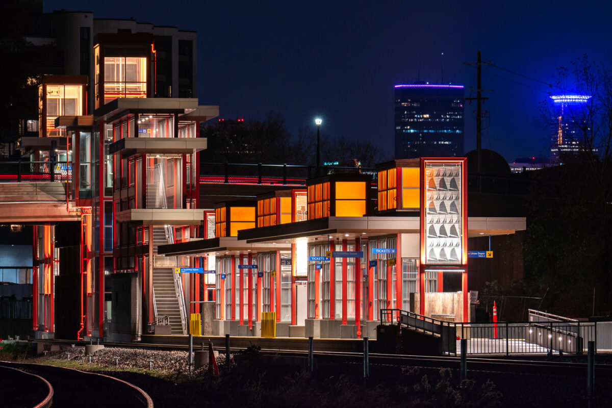
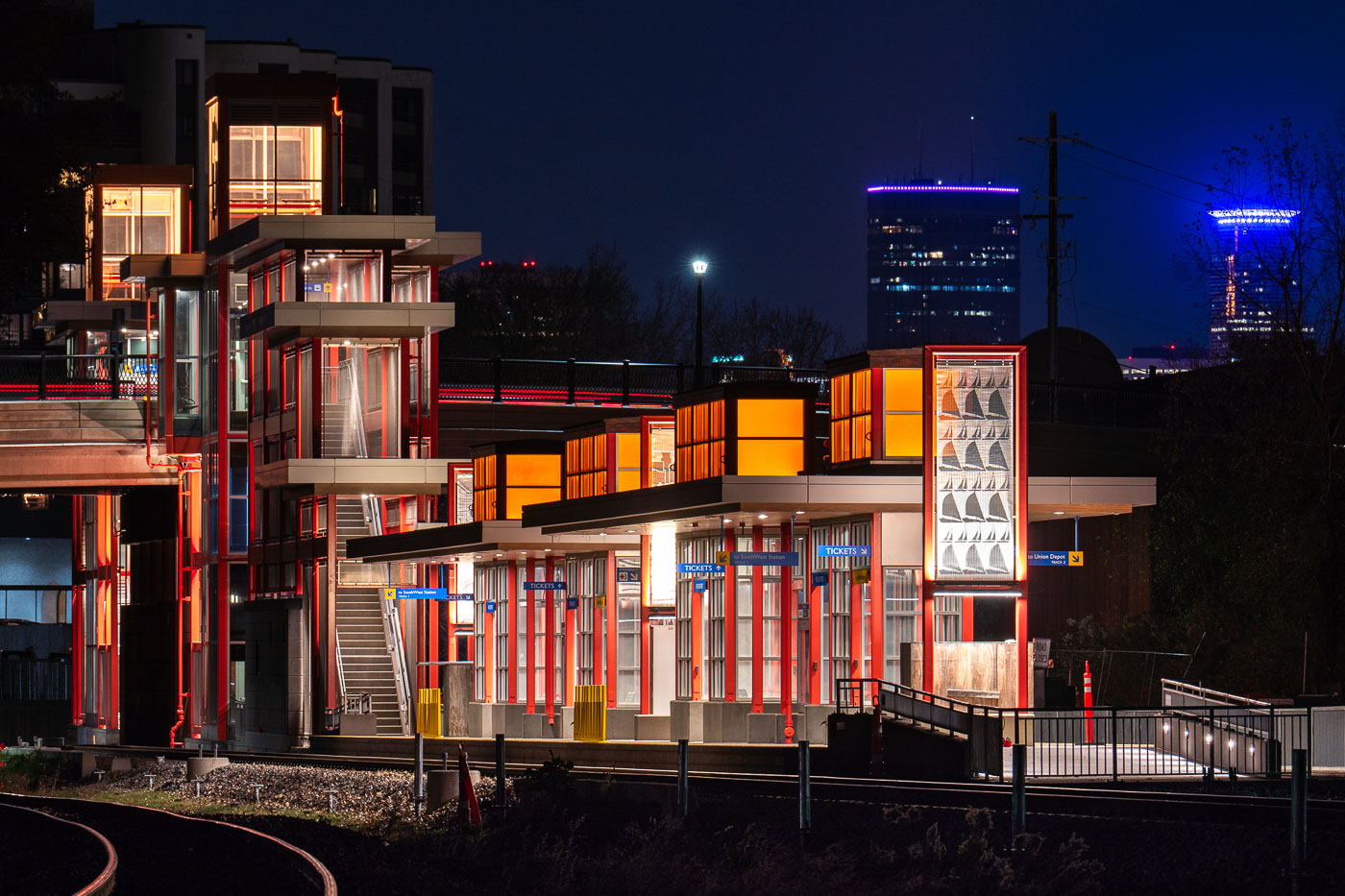
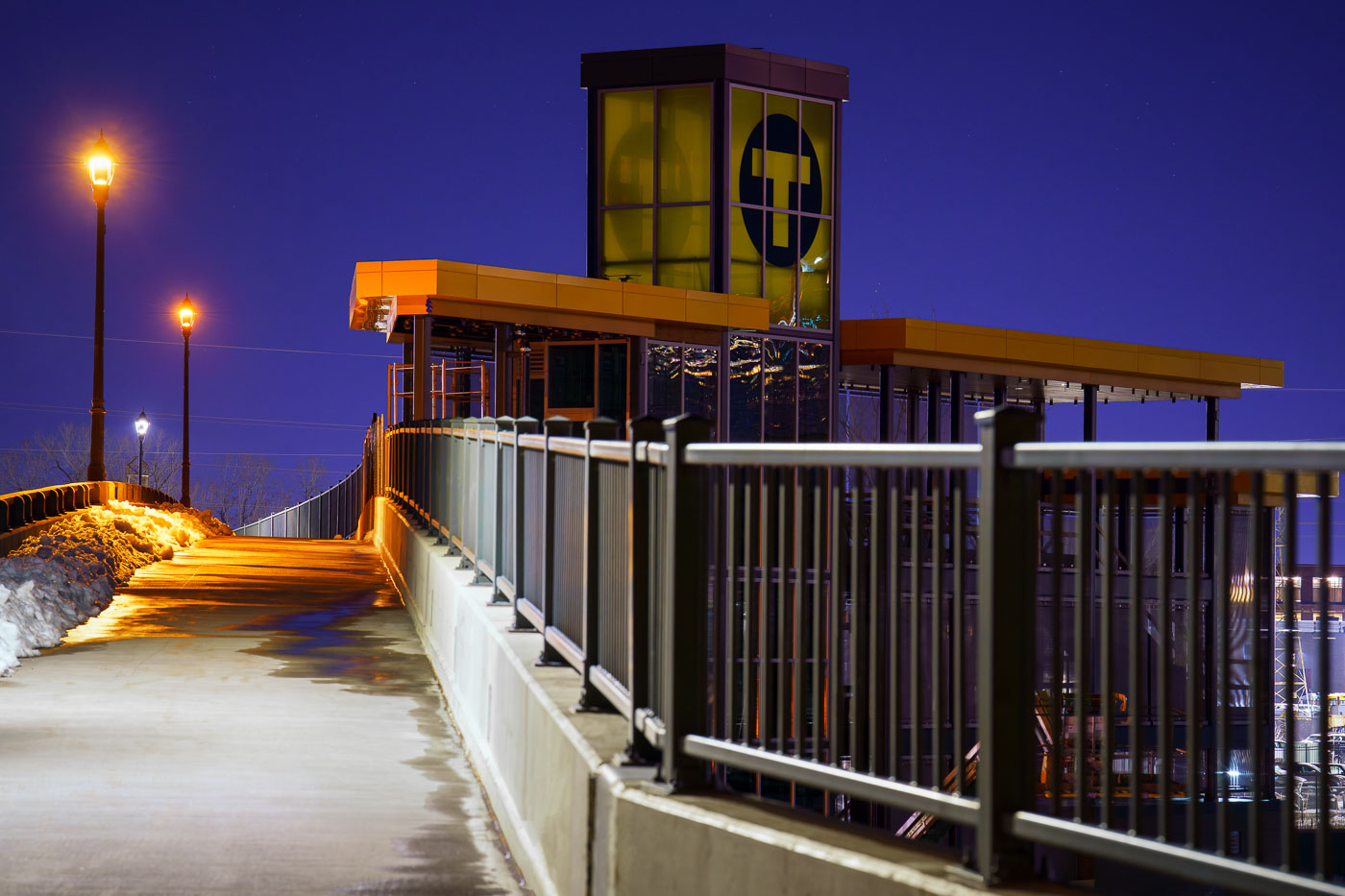
West Lake Street light rail station illuminated at night during Metro Transit Green Line Extension construction in Minneapolis.
West Lake Street Station in Minneapolis on a November evening. The train station is part of the still under construction Metro Transit green line extension that will connect Eden Prairie to Downtown Minneapolis to St. Paul. The new train line is set to open in 2027.

West Lake Street Station Illuminated at Night

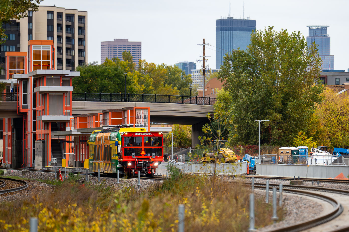
Light rail vehicle leaves W Lake St Station for first time
A light rail vehicle undergoes clearance testing at the West Lake Street Station in Minneapolis, marking a significant step in the development of the Southwest LRT line. Construction on this extension began in 2018, with its opening to passengers anticipated in 2027. This testing ensures the safe passage of trains through the station and along the new route, a crucial phase before public service commences. The Southwest LRT project aims to expand public transportation options in the Twin Cities metropolitan area.

Southwest LRT train tests at West Lake Street Station, Minneapolis
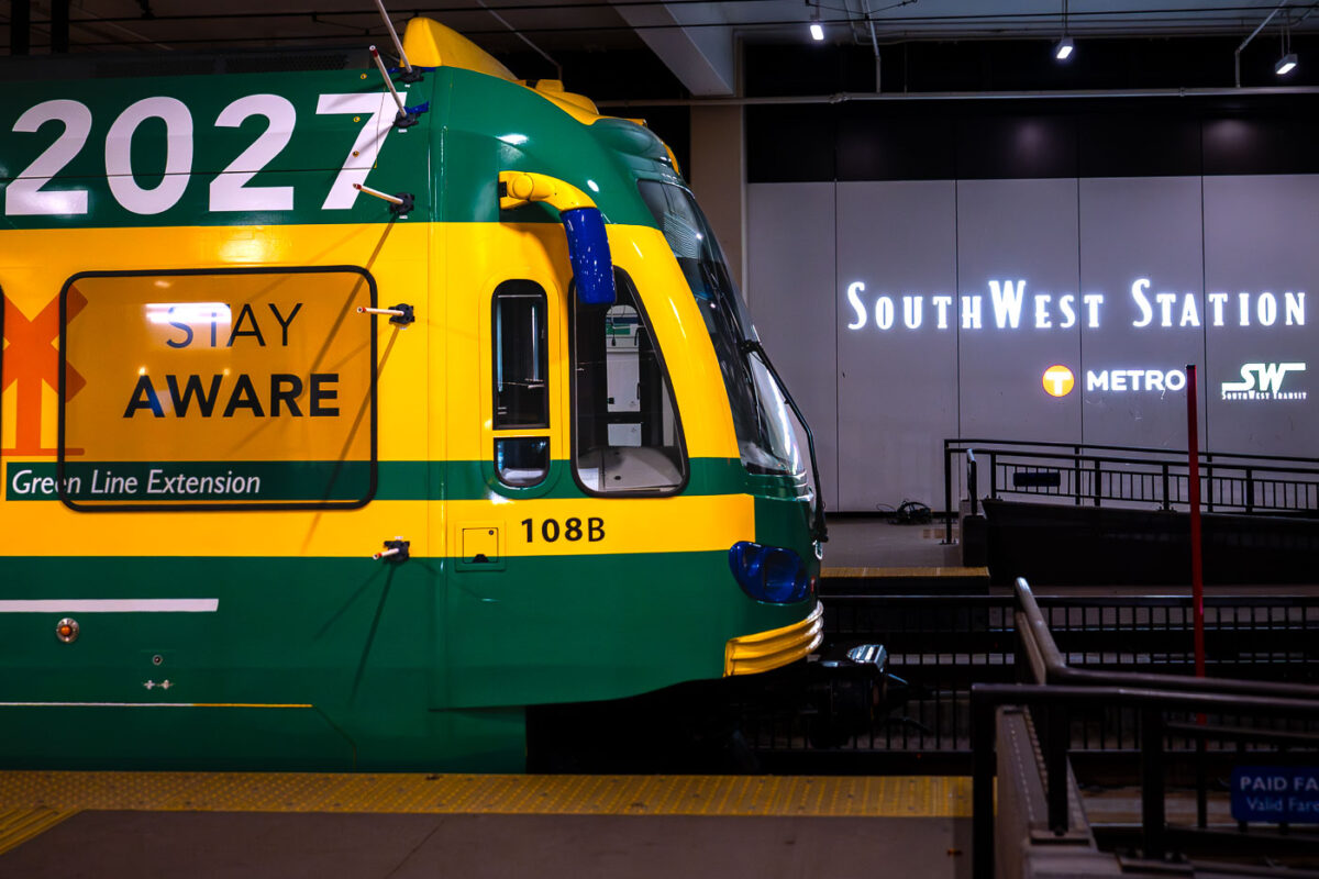
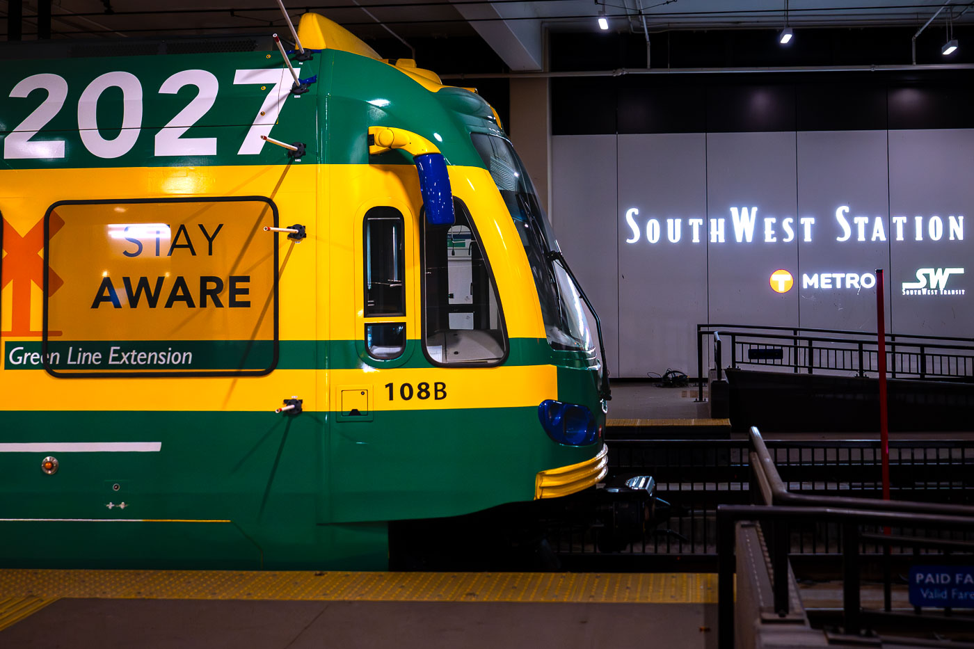
Metro Light Rail train 108B stopped at Southwest Station in Minneapolis during the evening.
A Metro train, marked "Green Line Extension" and "2027," is stopped at Southwest Station. The "2027" designation likely refers to the planned completion year for the Green Line Extension project, a significant transit development aimed at expanding public transportation access in the region. Southwest Station serves as a key hub for this network, facilitating commuter travel and connecting various parts of the metropolitan area. The train's livery, a combination of green and yellow, is characteristic of the local transit authority's branding.

Green Line Extension Train at SouthWest Station
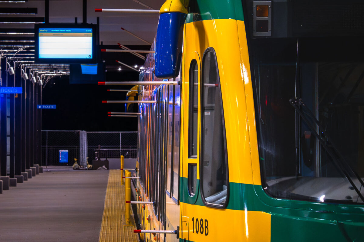
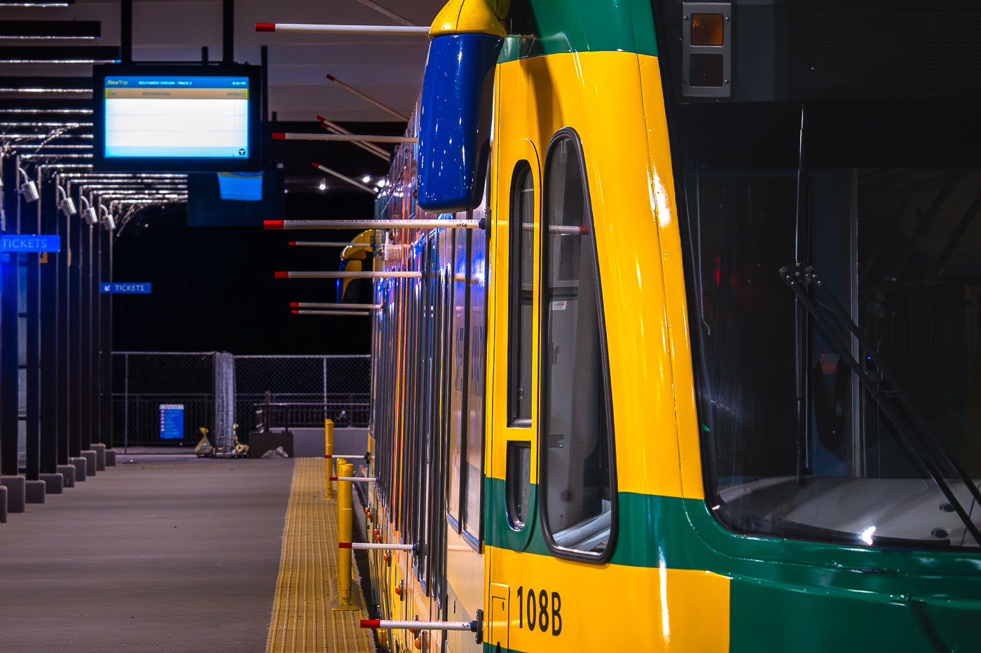
Light rail train 108B stopped at Southwest Station platform in Minneapolis during evening hours.
A light rail train, numbered 108B, is stopped at the Southwest Station platform. The station features a digital display indicating "SOUTHWEST STATION: TRACK 2" and "8:50 PM", suggesting it is operational during evening hours. The train's distinctive yellow and green livery is visible, along with safety bollards and ticket signage, indicating a functional public transportation hub. Southwest Station is a key stop on the light rail network, facilitating transit for commuters and visitors within the urban environment.

Light Rail Train 108B at Southwest Station Platform
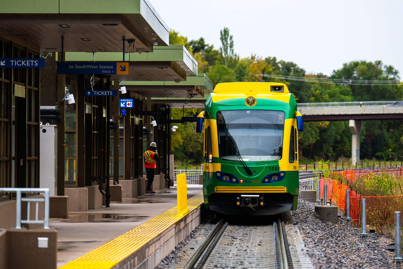
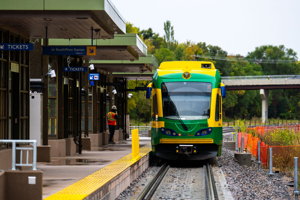
Light rail train 108B stopped at Southwest Station platform in Eden Prairie, Minnesota.
A light rail train, number 108B, is stopped at Southwest Station. This station serves as a transit hub for the region, facilitating commuter travel and connecting various parts of the metropolitan area. The train, part of the Metro Transit system, is designed for efficient urban transportation. Southwest Station's infrastructure includes platforms, tracks, and signaling systems that support the daily operation of the light rail network.

Metro Transit Train 108B Arrives at SouthWest Station
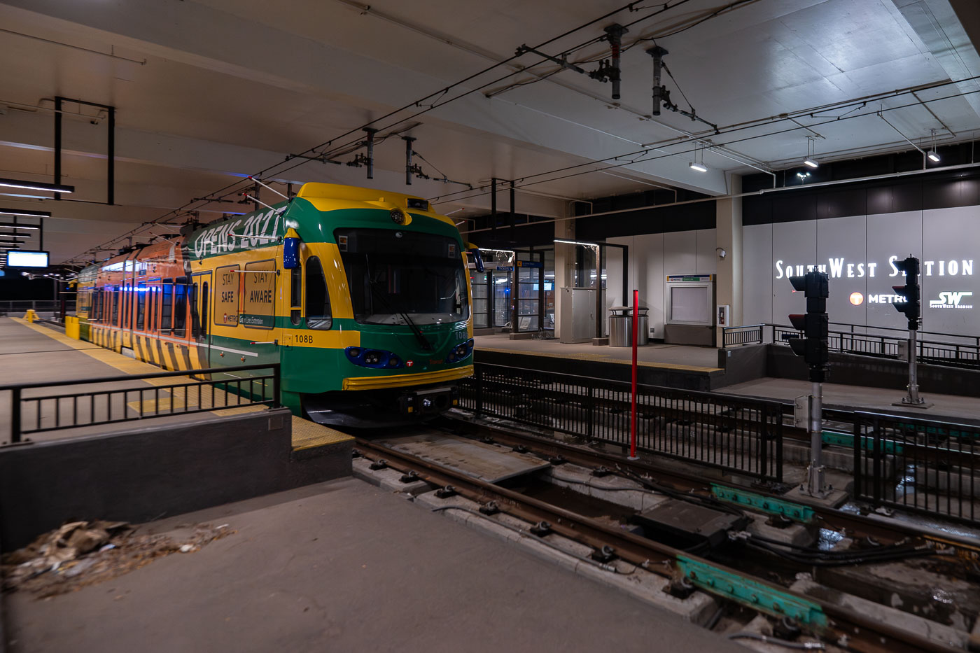
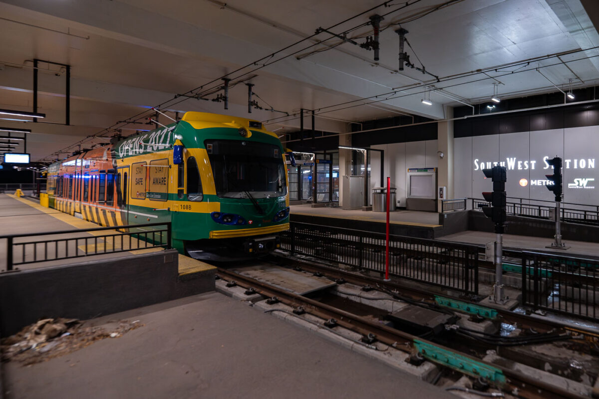
Metro Transit light rail vehicle stopped at W 21st Street Station during Southwest LRT clearance testing in Minneapolis.
A Metro Transit light rail vehicle is stopped at W 21st Street Station in Minneapolis during clearance testing for the Southwest Light Rail Transit extension. Station signage for “SouthWest Station” is visible above the platform, and construction fencing remains in place along the right-of-way. The tests verify that trains can safely clear platforms, track infrastructure, and other fixed elements before the new line enters passenger service. The Southwest LRT project extends the regional rail system toward the western suburbs and has been under construction since 2018.

Light Rail Clearance Testing at W 21st Street Station
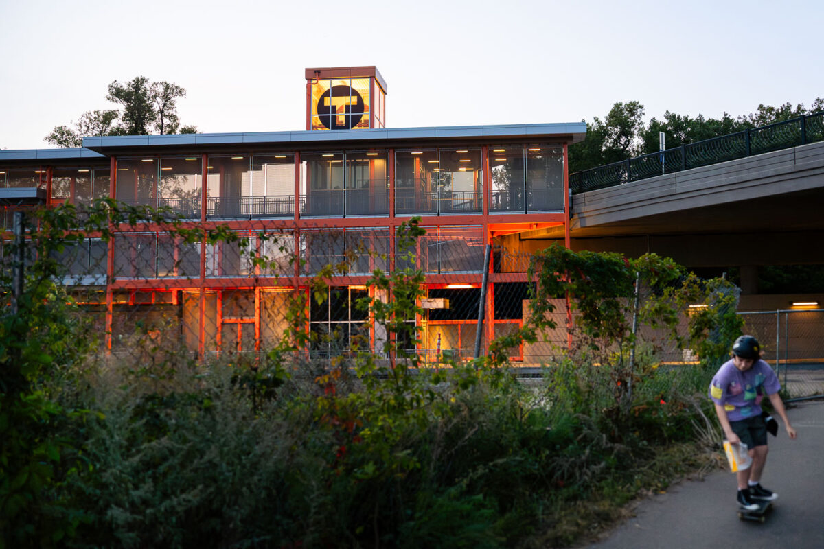
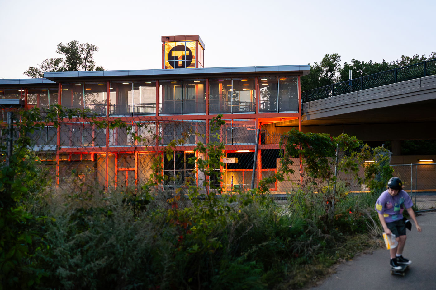
Skateboarder rides past Lake Street light rail station under construction on the Midtown Greenway in Minneapolis.
The new Lake Street Station, part of the Southwest Light Rail Green Line Extension. The train line which has been under construction for almost a decade is set to open in 2027. The orange station shown here serves Lake Street above and the large amount of residential apartments below. Skateboard seen skating down the Midtown Greenway trail.

Skateboarder Passes Lake Street Station on the Midtown Greenway
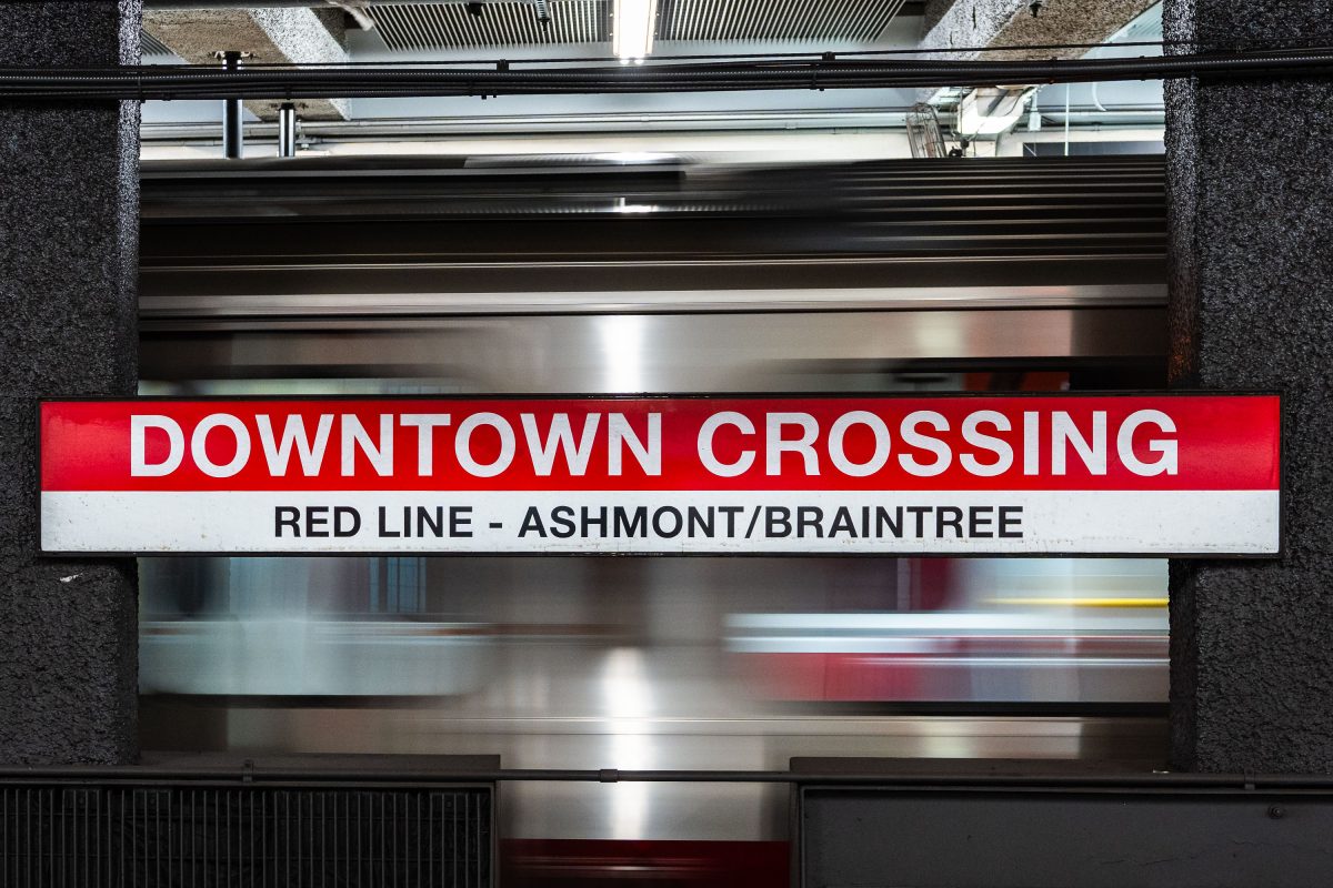
Downtown Crossing Red Line platform sign for Ashmont/Braintree branch at Boston's MBTA station.
Downtown Crossing is a key transfer point on the MBTA's Red Line, linking Ashmont and Braintree branch trains to destinations south of the city. The station opened in 1908 as Winter Street on the old Tremont Street subway, then took its current name in 1975 to reflect the shopping district above, once anchored by Filene's and Jordan Marsh. It also connects to the Orange Line, making it one of the busiest interchange points in the MBTA system.

Downtown Crossing’s Red Line Sign for Ashmont and Braintree
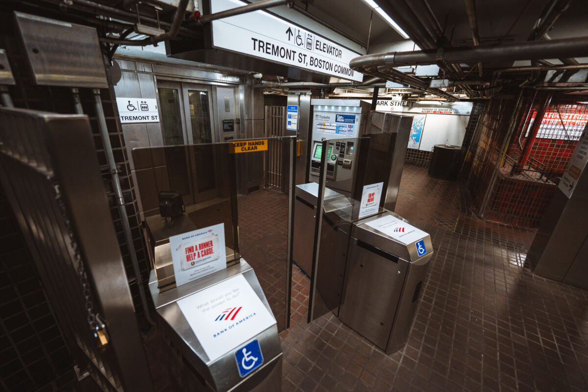
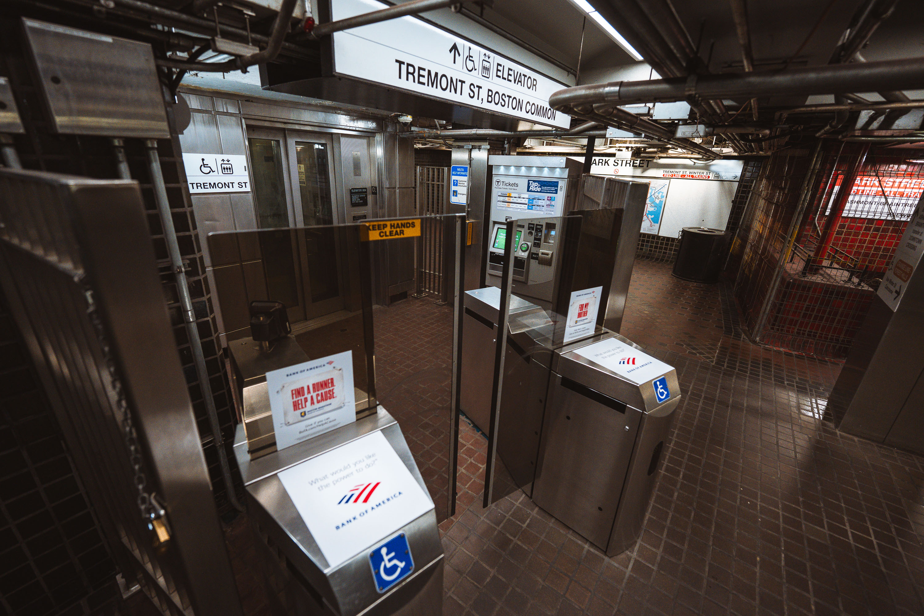
Fare gates and ticket machines at Park Street Station on Boston's MBTA Red and Green Lines.
Park Street opened in September 1897 as part of the Tremont Street Subway, the first subway tunnel built in the United States. The station sits beneath Boston Common and serves as a transfer point between the Green Line and Red Line, making it one of the busiest stops in the MBTA system. Its Tremont Street entrance leads directly to the Common and connects to nearby Park Street Church and the Massachusetts State House. The station is listed on the National Register of Historic Places as part of the Tremont Street Subway's original tunnel system.

Fare Gates at Park Street Station Near Boston Common
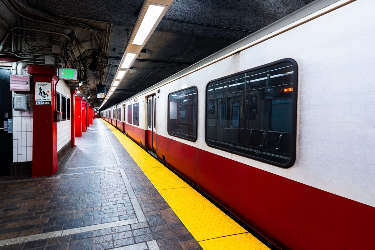
MBTA Red Line train stopped at Park Street Station platform in Boston.
Park Street Station opened in 1897 as part of the Tremont Street Subway, the first subway system built in the United States. It sits beneath Boston Common and serves as the transfer point between the MBTA's Red and Green Lines. The station's twin platforms handle tens of thousands of riders daily, linking downtown Boston to Cambridge, Dorchester, and points south. The Tremont Street Subway, including Park Street Station, is listed on the National Register of Historic Places and designated a National Historic Civil .

A Red Line Train Waits at Park Street Station
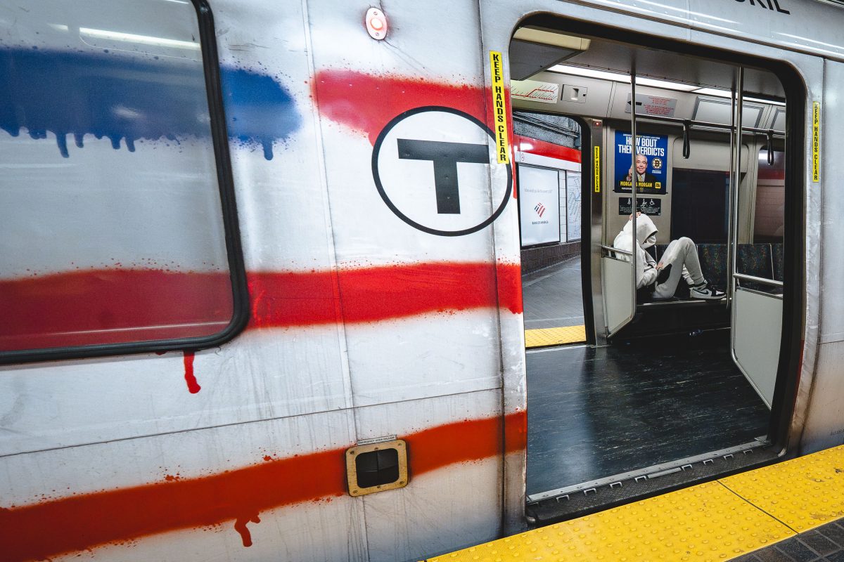
Vandalized MBTA Red Line train at Park Street Station in Boston with graffiti covering the exterior.
Park Street Station opened in 1897 as one of four original stops on the country's first subway tunnel and now serves as the transfer point between the Red and Green Lines. The Red Line itself runs about 22.5 miles from Alewife in Cambridge to the twin terminals at Ashmont and Braintree, making it the longest line in the MBTA system. Its cars, built by Bombardier and later replaced by CRRC, carry roughly 240,000 riders a day in normal years, more than any other MBTA line.

Paint-Streaked Red Line Train at Park Street Station
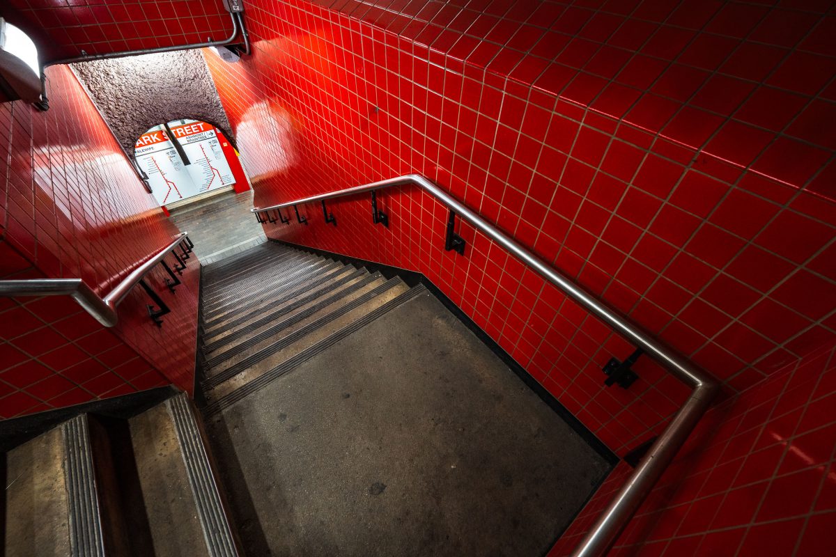
Park Street Station stairwell in Boston's MBTA system features distinctive red tile walls and metal handrails.
Park Street Station opened on September 1, 1897, as part of the Tremont Street Subway, making it the oldest operating subway station in the United States. Built beneath Boston Common, it now functions as the MBTA's main transfer point between the Red and Green Lines. The red tile work seen throughout the station dates to a 1970s renovation, which replaced the original cream-colored finishes installed by the Boston Transit Commission. It remains one of the system's busiest stations, handling tens of thousands of riders daily.

Red-Tiled Stairwell at Park Street Station
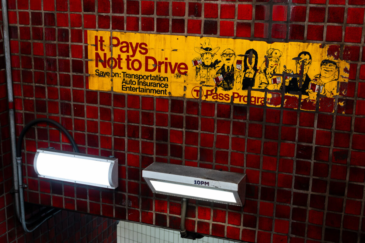
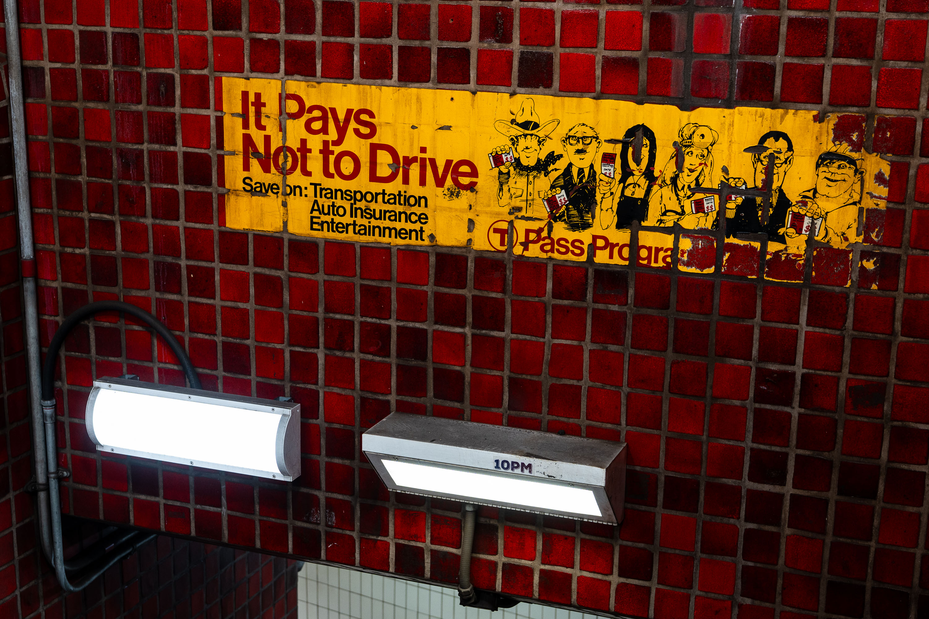
Vintage "It Pays Not to Drive" T Pass Program advertisement on red tile wall in Boston MBTA subway station.
The "It Pays Not to Drive" ad is a vintage T Pass Program advertisement preserved on the tile wall at Park Street Station. It promoted the MBTA's discounted pass program by pitching savings on transportation, auto insurance, and entertainment for riders who left their cars at home. Park Street Station opened in 1897 as part of the country's first subway system, and its red-tile walls still carry advertising relics like this one from past decades of MBTA marketing.

“It Pays Not to Drive” Ad at Park Street Station
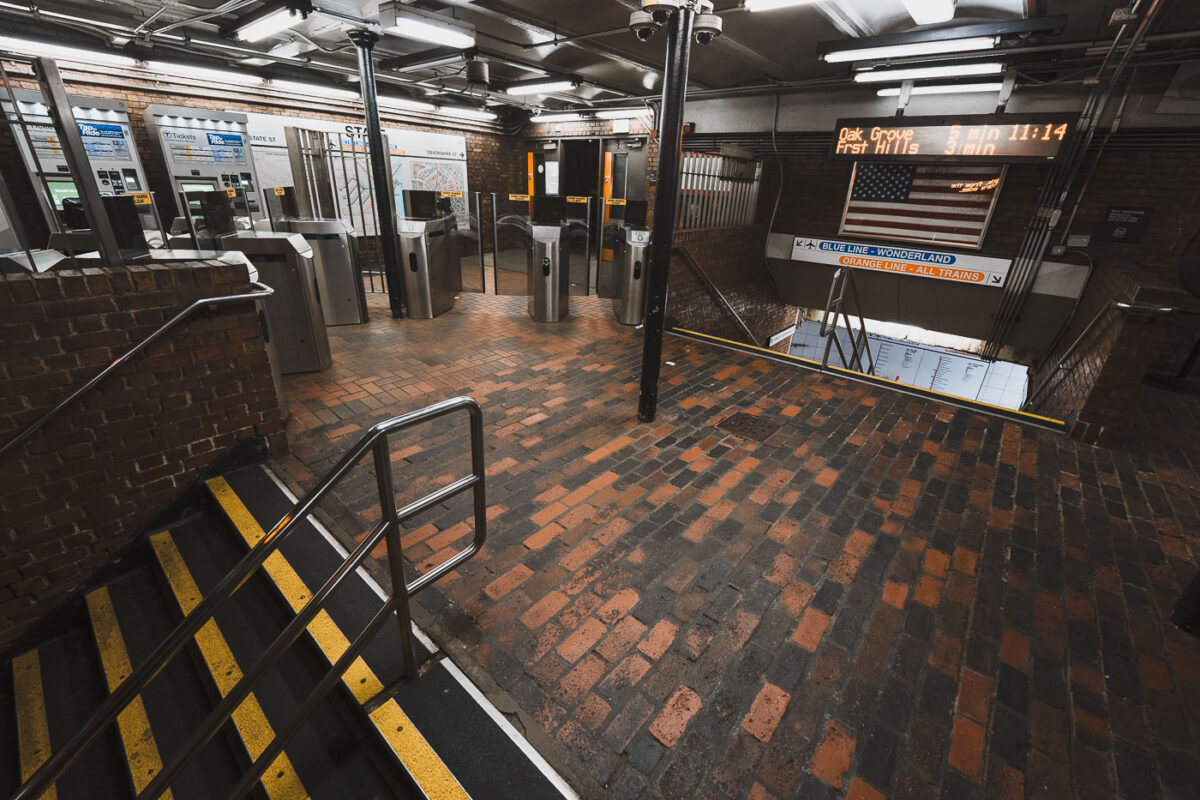
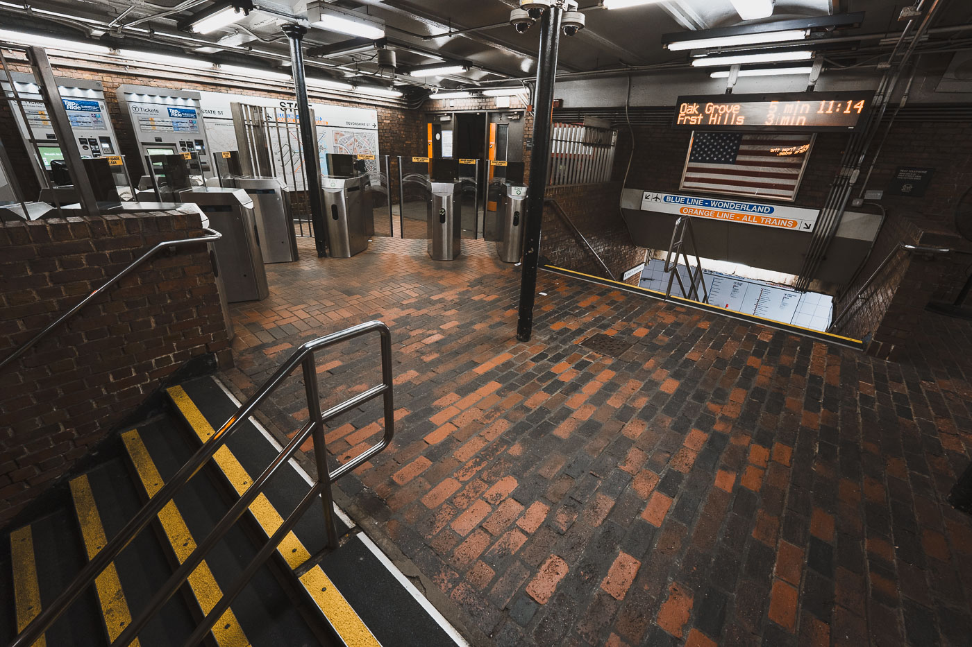
State Street Station fare gates on the MBTA Orange Line in downtown Boston, Massachusetts.
State Street Station sits beneath Boston's Financial District, where the MBTA's Orange and Blue Lines cross paths. Riders can transfer between the two lines here without paying an additional fare, one of only a handful of free interchange points in the subway system. The station's Orange Line platforms opened in 1904 as part of the original Main Line Elevated, while the Blue Line connection followed in 1916. It remains one of downtown Boston's busiest transfer points, linking commuters to nearby Faneuil Hall and the Custom House district above.

Fare Gates at State Street Station, Boston
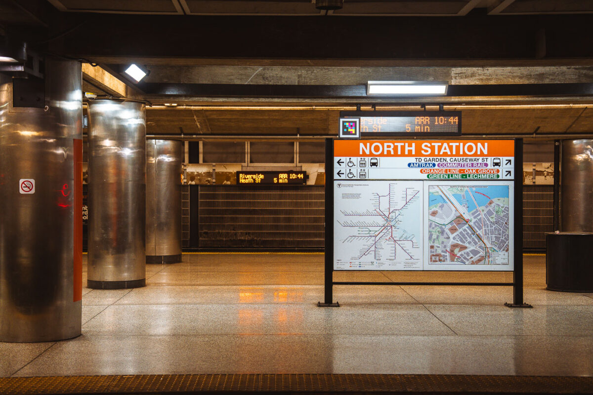
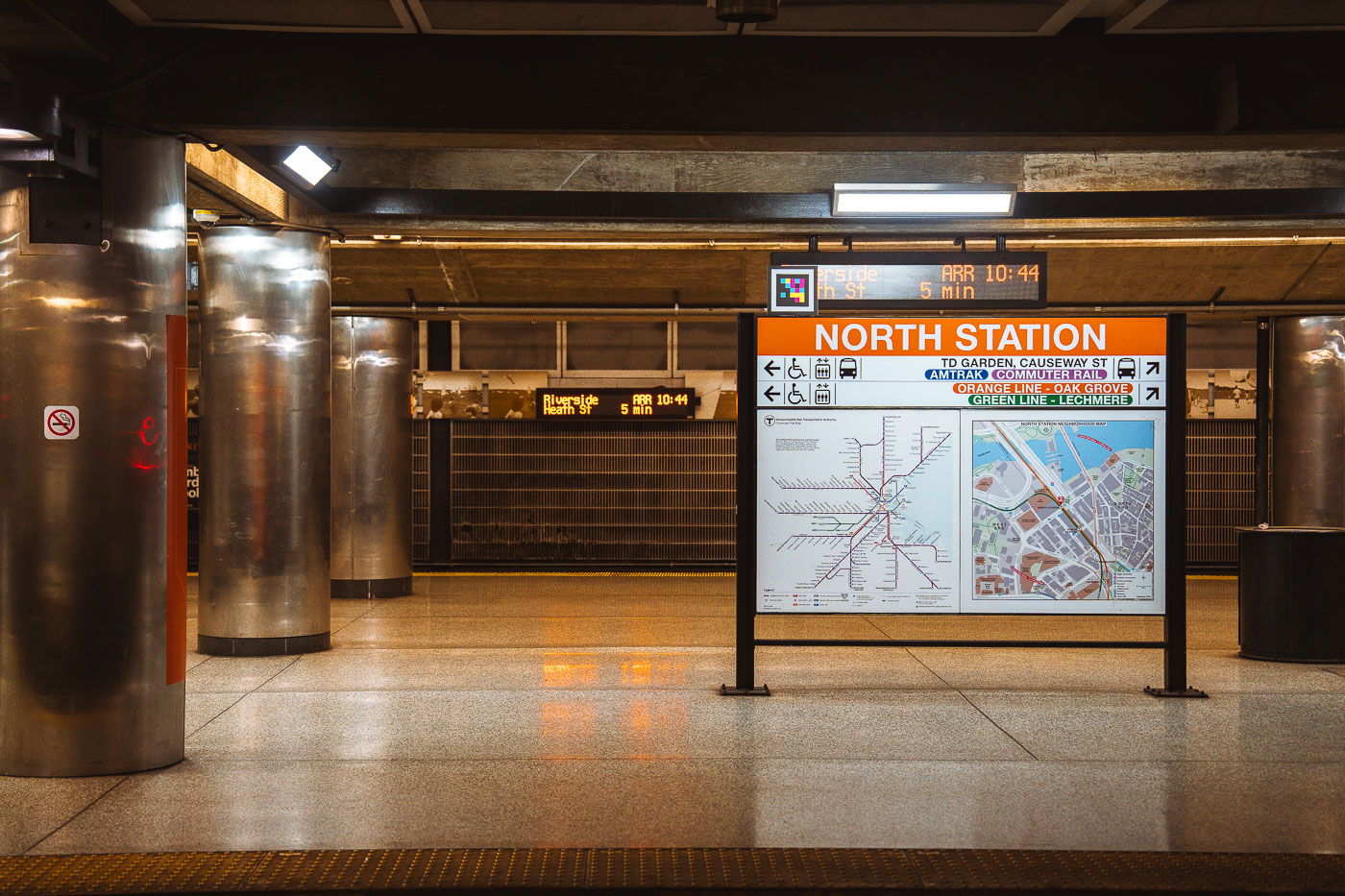
North Station MBTA transit hub in Boston displays an orange directional sign with transit map and service information.
North Station sits beneath TD Garden in Boston's West End, serving as a terminus for the MBTA Orange Line and Green Line as well as Amtrak and MBTA Commuter Rail service. The Green Line ends here at Lechmere, while the Orange Line continues north to Oak Grove. Commuter rail lines from North Station run to Newburyport, Rockport, Haverhill, Lowell, Fitchburg, and other points north and west of the city. The station was rebuilt in the 1990s as part of the Central Artery project, which relocated it next to the new TD Garden after the original Boston Garden was demolished.

Wayfinding Sign on the Platform at North Station
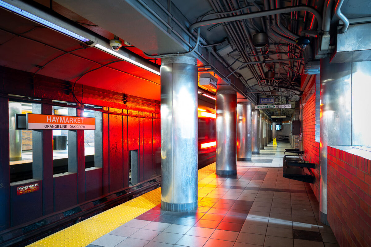
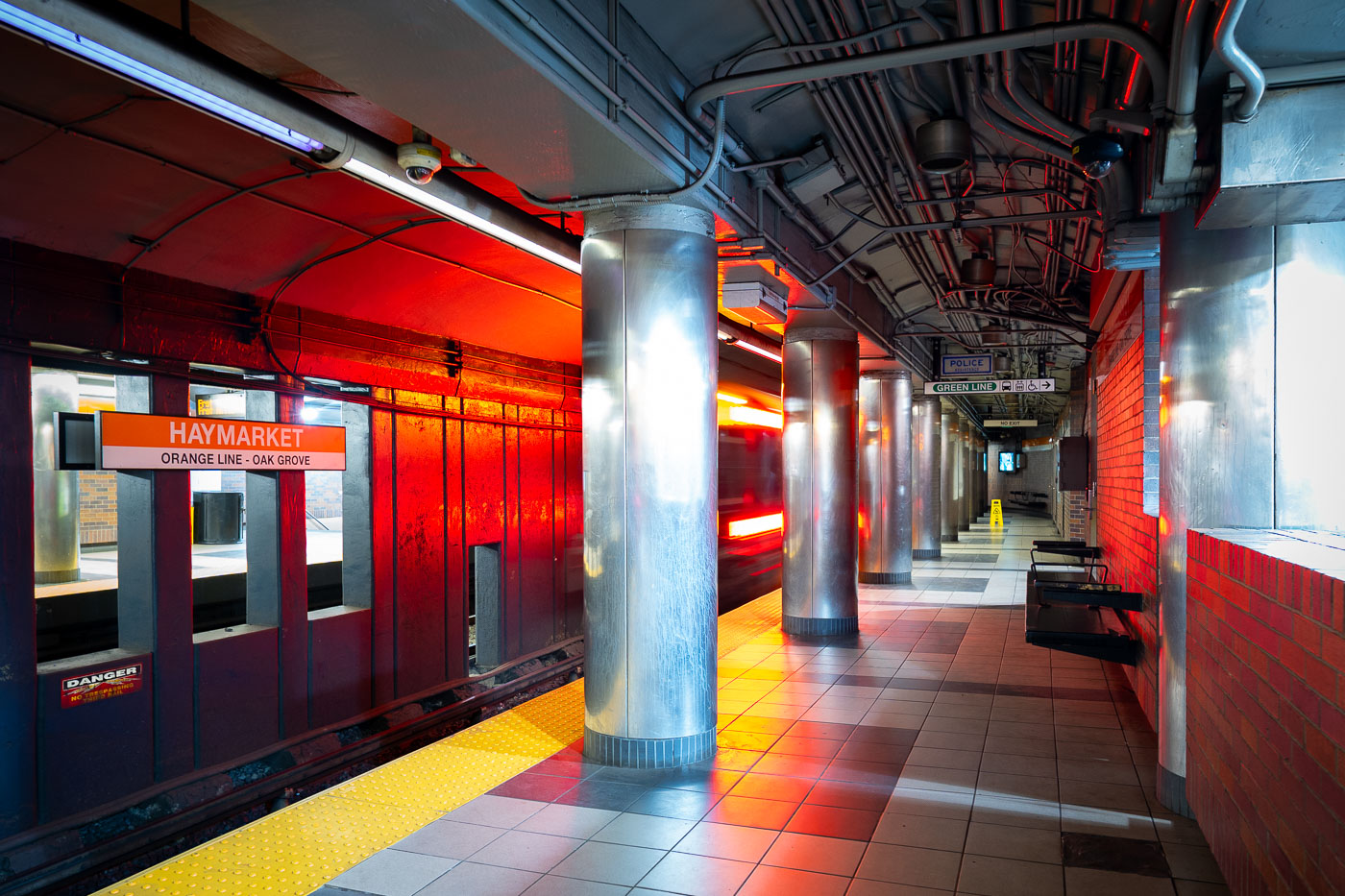
Haymarket Station platform on the MBTA Orange Line in Boston, with red brick walls and metal support columns.
Haymarket Station sits beneath Boston's Haymarket Square, serving the MBTA's Orange Line since the line's relocation underground in 1975 as part of the Southwest Corridor project. The station also connects to the Green Line, linking riders to the North End, Government Center, and the historic open-air Haymarket pushcart market above. Its platforms replaced the elevated Orange Line structure that once ran along Atlantic Avenue before that route was demolished.

Orange Line Train Arrives at Haymarket Station
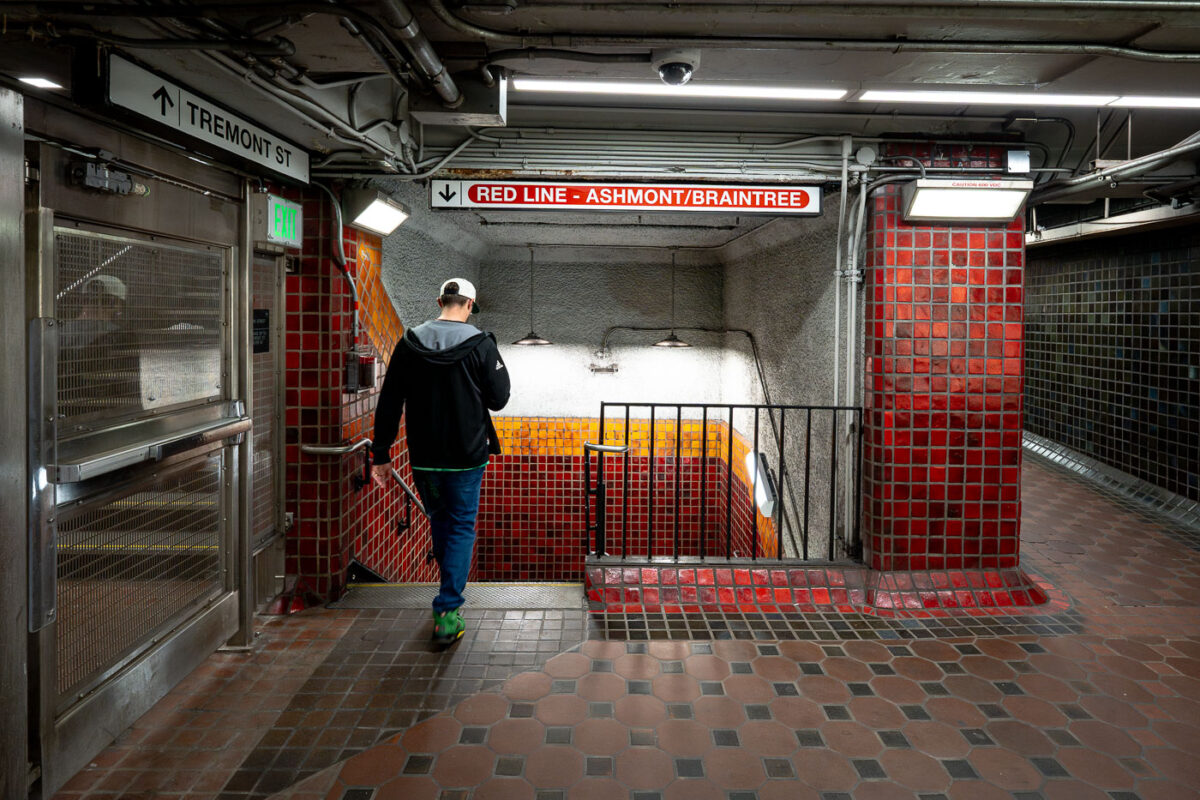
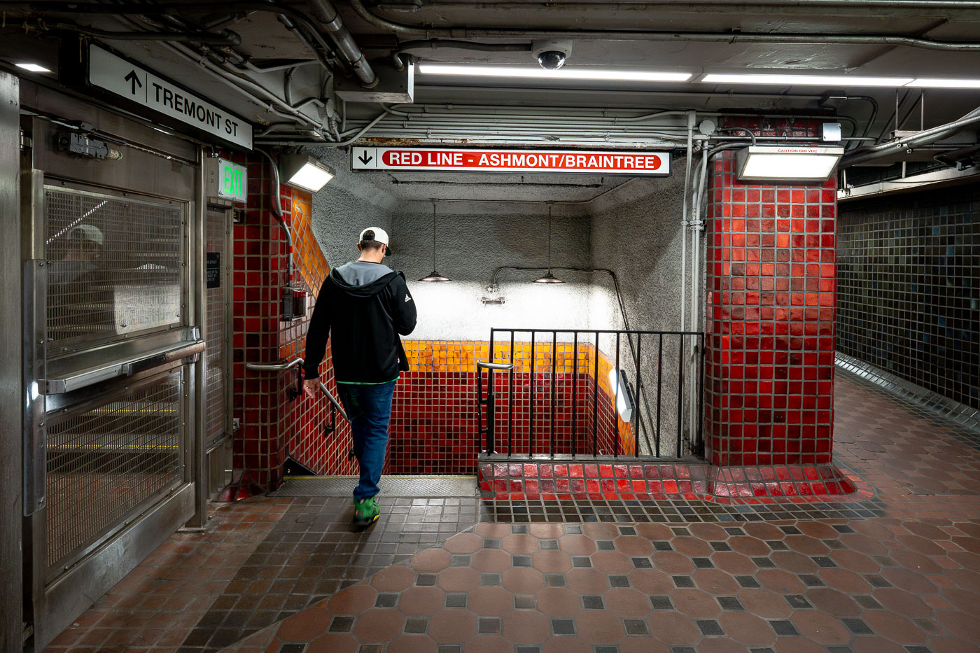
Runner descends stairs at Park Street Station on Boston's MBTA Red Line.
Park Street Station sits beneath Boston Common at the junction of Tremont and Winter streets, where riders can transfer between the Red Line and Green Line. It opened in September 1897 as part of the Tremont Street Subway, the first subway system built in the United States. The station's red and gold tile work marks the Red Line side, a color scheme the MBTA has used system-wide to help riders navigate since the lines were named in the 1960s. Park Street remains one of the busiest stations in the network and is listed on the National Register of Historic Places.

Descending to the Red Line at Park Street Station
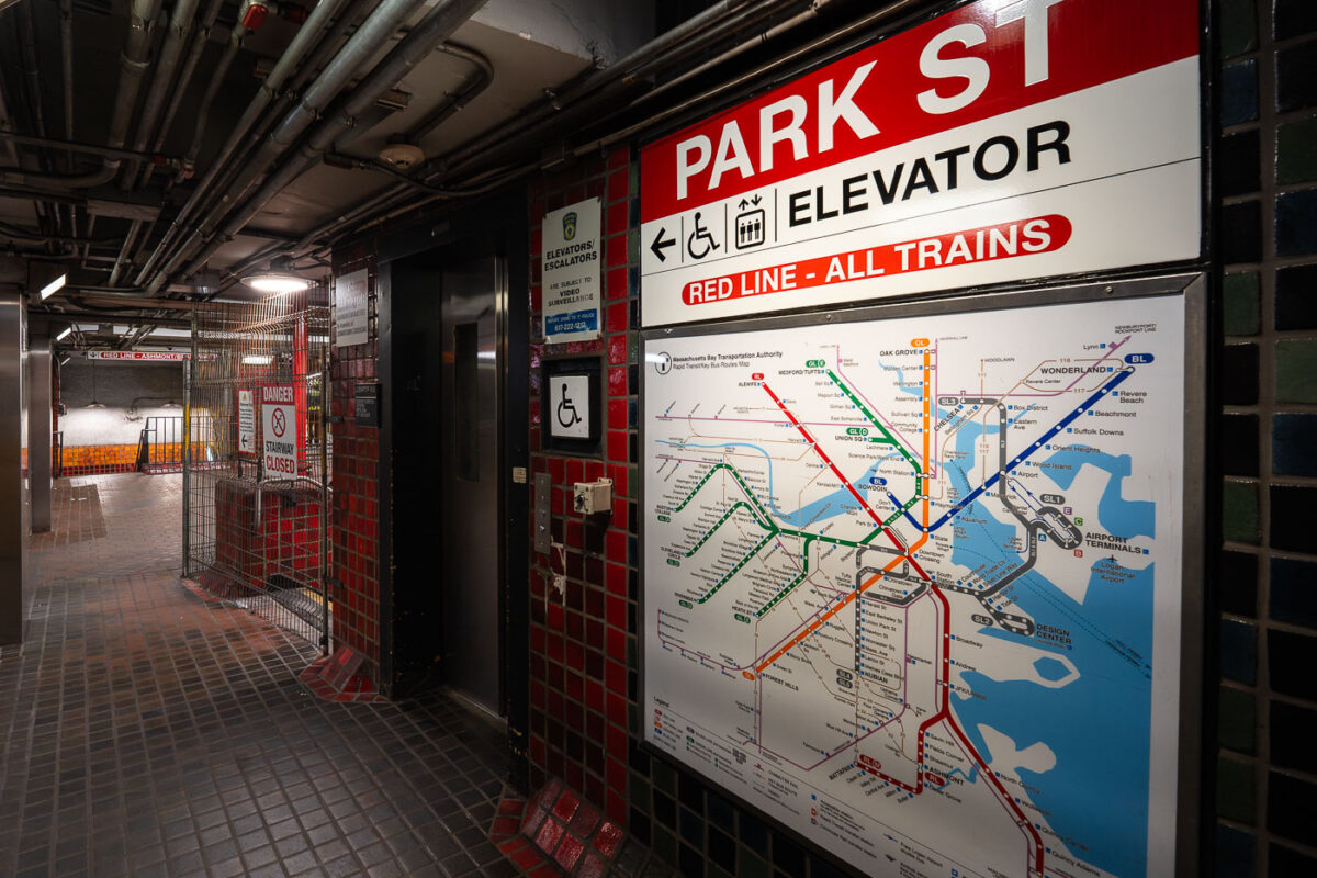
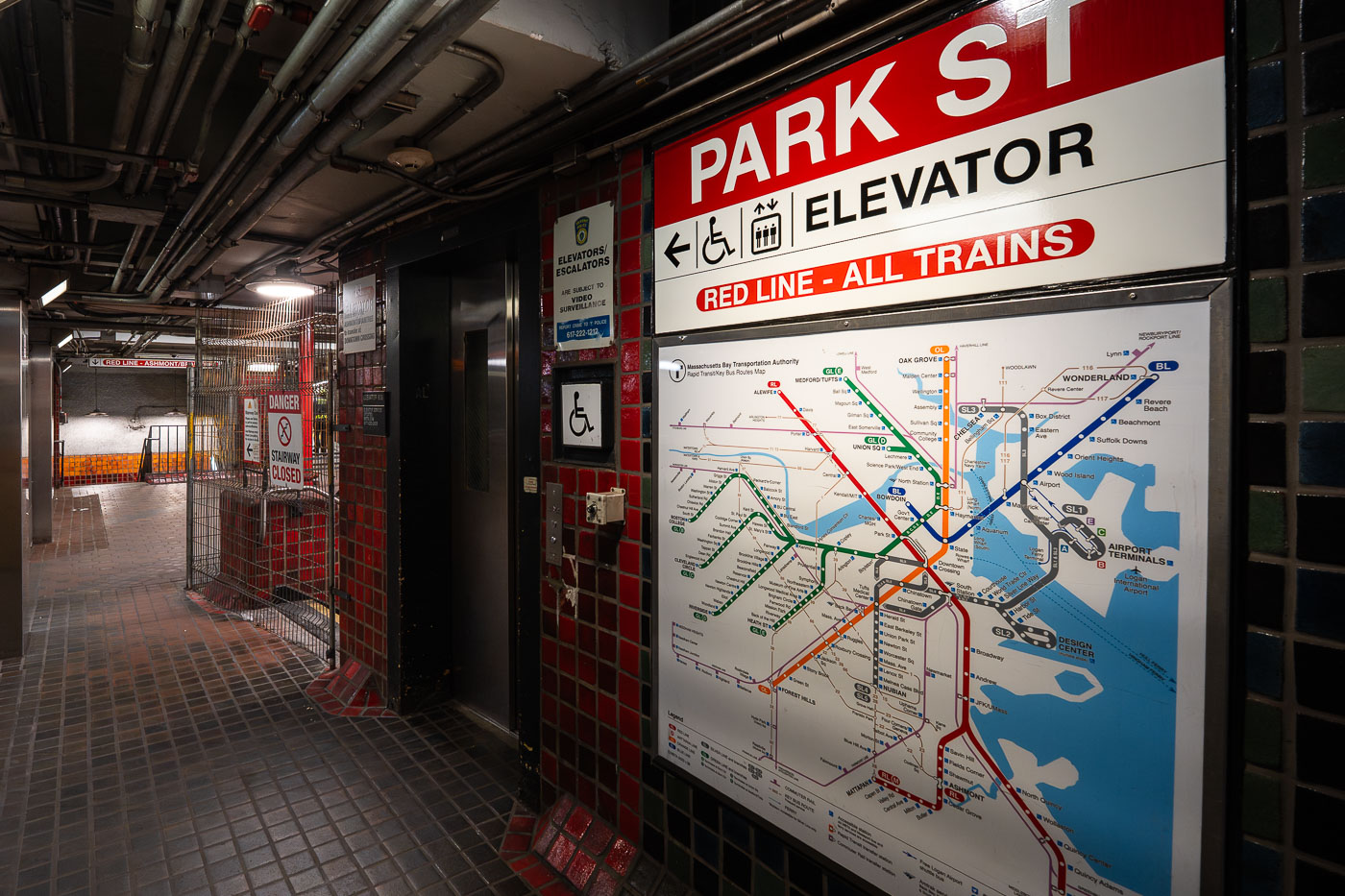
Park Street Station Red Line elevator entrance with transit map showing Boston MBTA train lines.
Park Street Station opened in 1897 as part of the Tremont Street Subway, the first subway system built in the United States. Today it serves as a transfer point between the Red Line and the Green Line, with connections to buses throughout downtown Boston. The station sits beneath Boston Common and Park Street, at the edge of the city's historic Freedom Trail. An elevator connects street level to the Red Line platforms, part of accessibility upgrades made to the station over the past several decades.

Elevator and Transit Map at Park Street Station, Boston
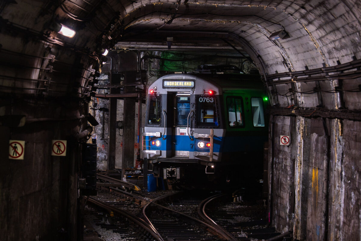
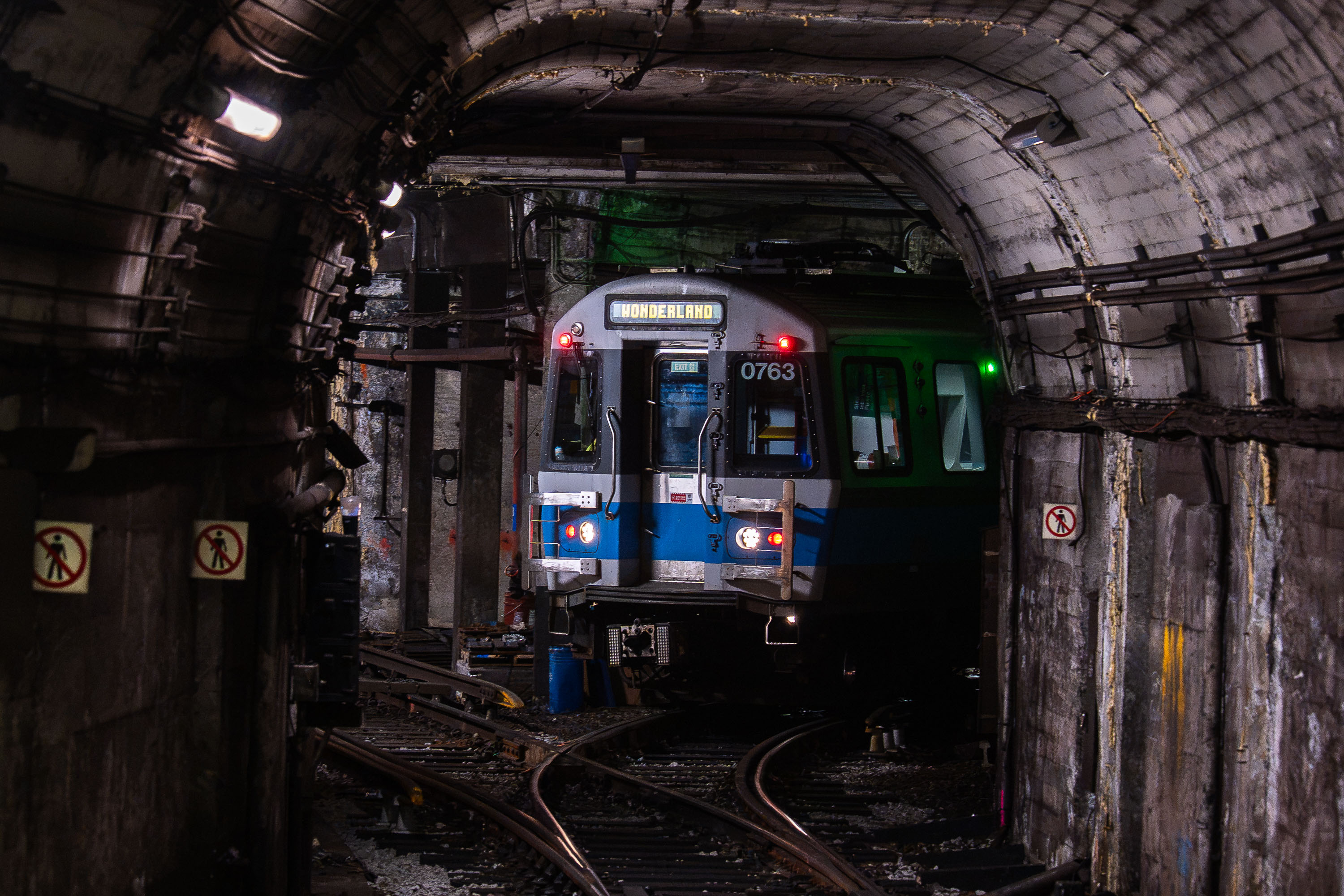
MBTA light rail train 0763 bound for Wonderland stopped in a subway tunnel at Bowdoin Station in Boston.
Bowdoin Station is the western terminus of the MBTA's Blue Line, opened in 1916 as an extension of the original East Boston Tunnel. Its short, curved platform beneath Cambridge Street can only accommodate the front three cars of a train, so only those doors open for passengers. The tunnel it sits in dates to 1904, when it became the first underwater rapid transit tunnel built in the United States. From Bowdoin, the Blue Line runs through downtown Boston, East Boston, and Logan Airport before ending at Wonderland Station in Revere.

Blue Line Train to Wonderland in the Tunnel Near Bowdoin Station
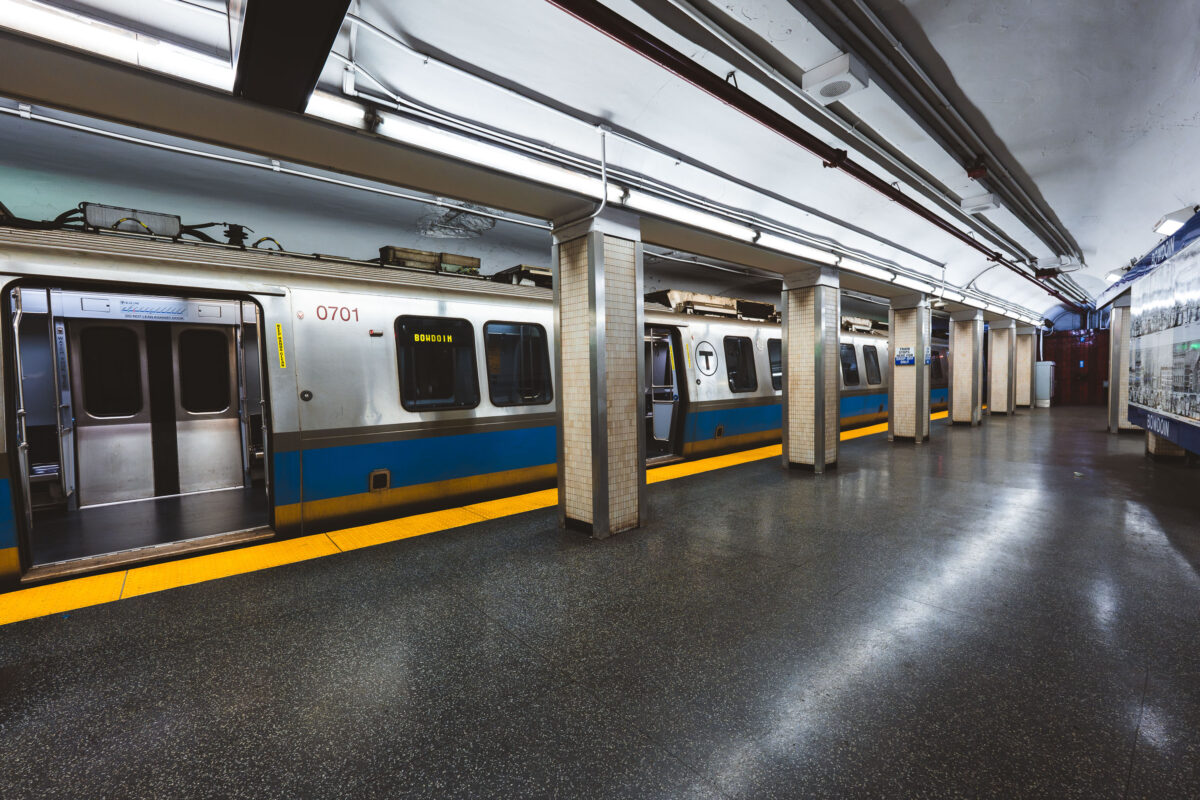
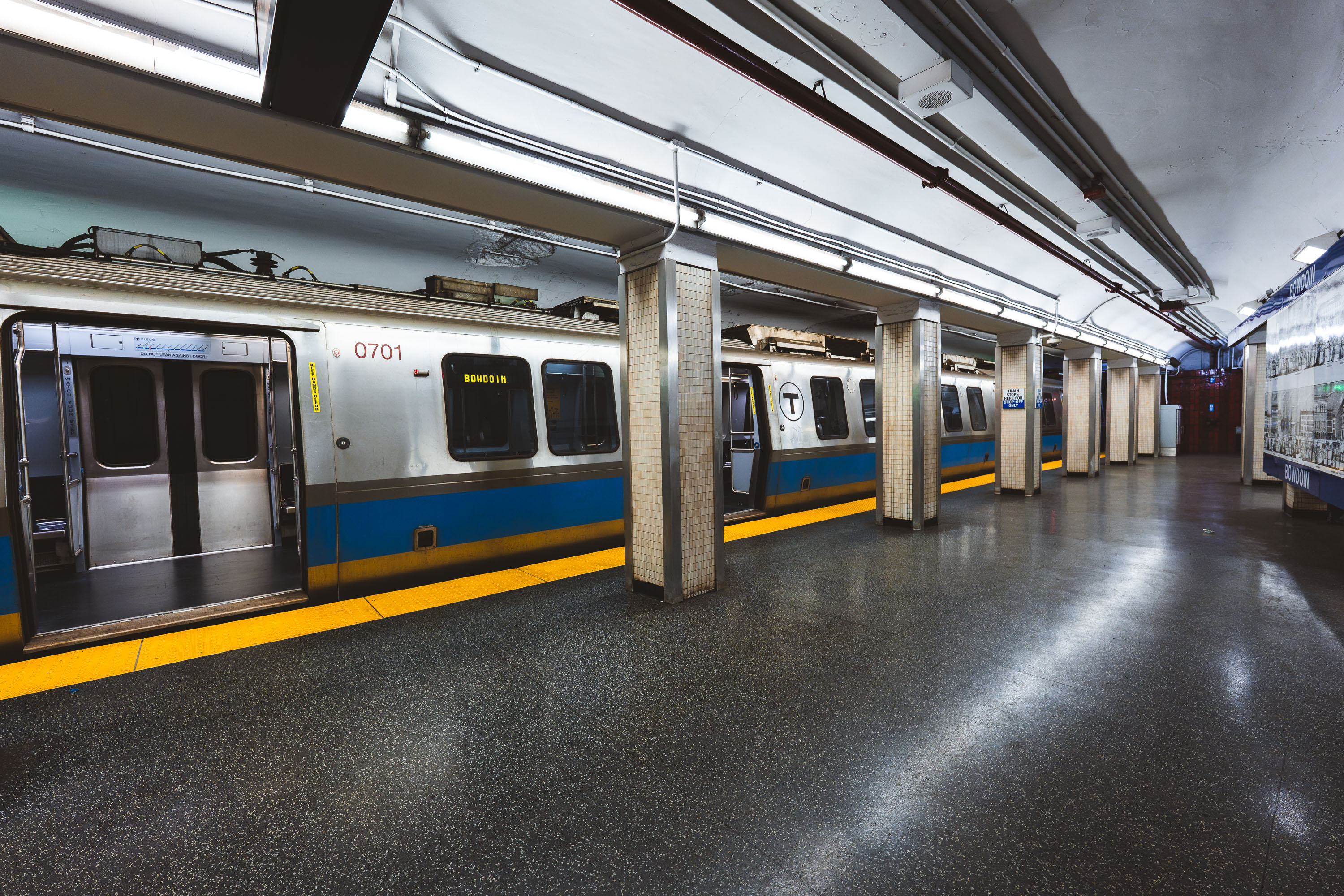
MBTA Blue Line train at Bowdoin Station in Boston, Massachusetts.
Bowdoin station marks the western terminus of the MBTA Blue Line, tucked beneath Cambridge Street near Beacon Hill. It opened in 1916 as part of the original East Boston Tunnel extension and remains one of the system's least-used stations, largely because of its limited hours and short platform, which accommodates only the front three cars of a train. Its proximity to the Massachusetts State House makes it a practical, if lightly used, stop for state employees and visitors to Beacon Hill.

Blue Line Train to Bowdoin, Boston’s Western Terminus
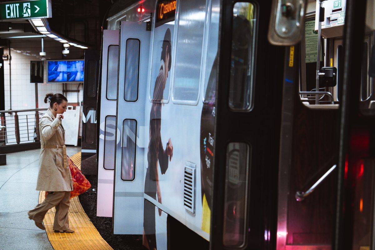
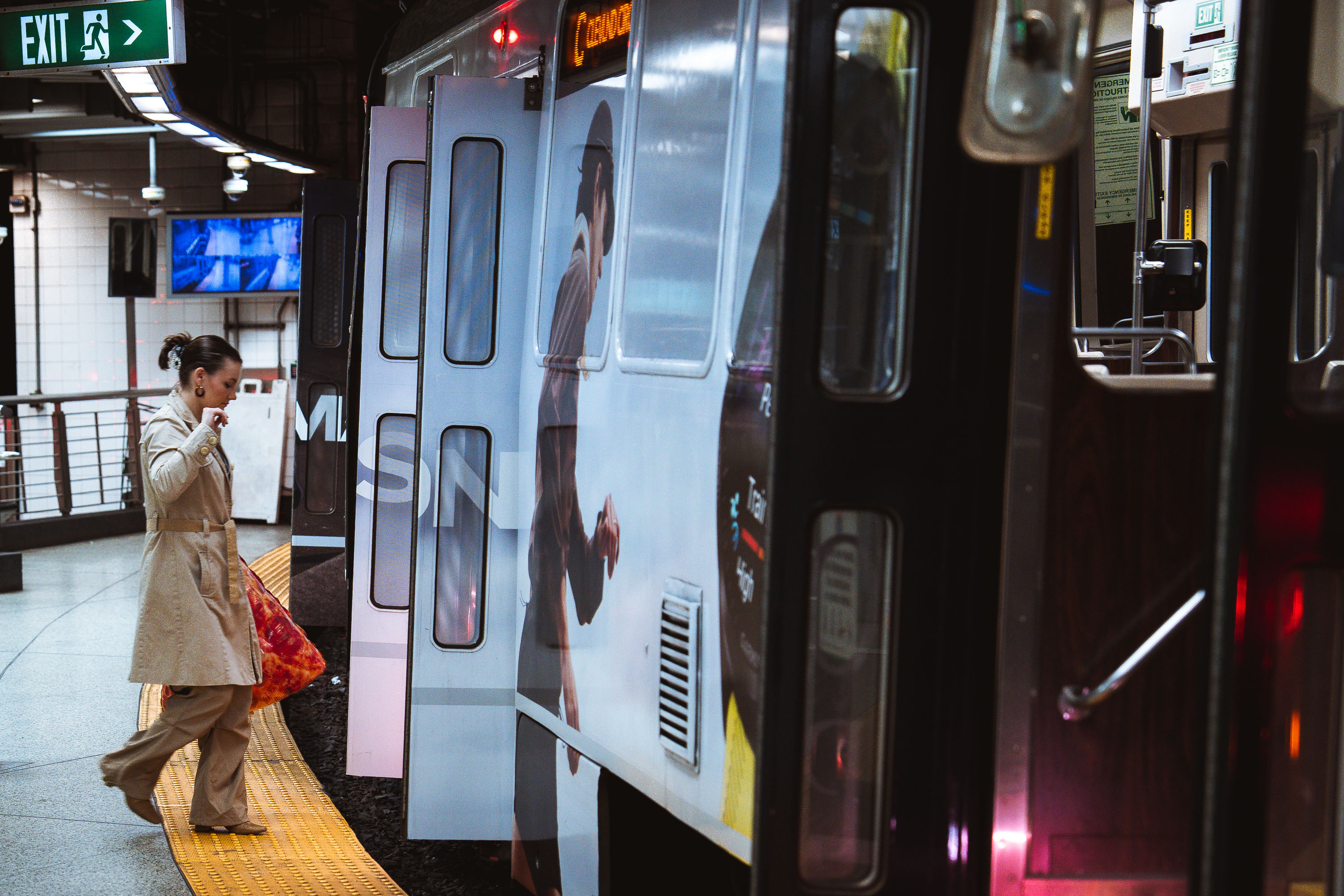
Pizza boarding MBTA Train
A passenger steps onto an MBTA subway train at an underground station in Boston. The Massachusetts Bay Transportation Authority, formed in 1964, operates one of the oldest rapid transit systems in the United States, with roots tracing back to the Boston Elevated Railway and the opening of the Tremont Street Subway in 1897. The high-platform station design, yellow tactile warning strip, and sliding train doors reflect standards adopted to improve accessibility and passenger safety across the system as it expanded and modernized through the late 20th century.

Pizza boarding MBTA Train

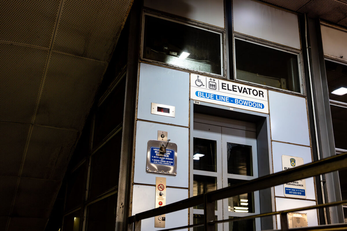
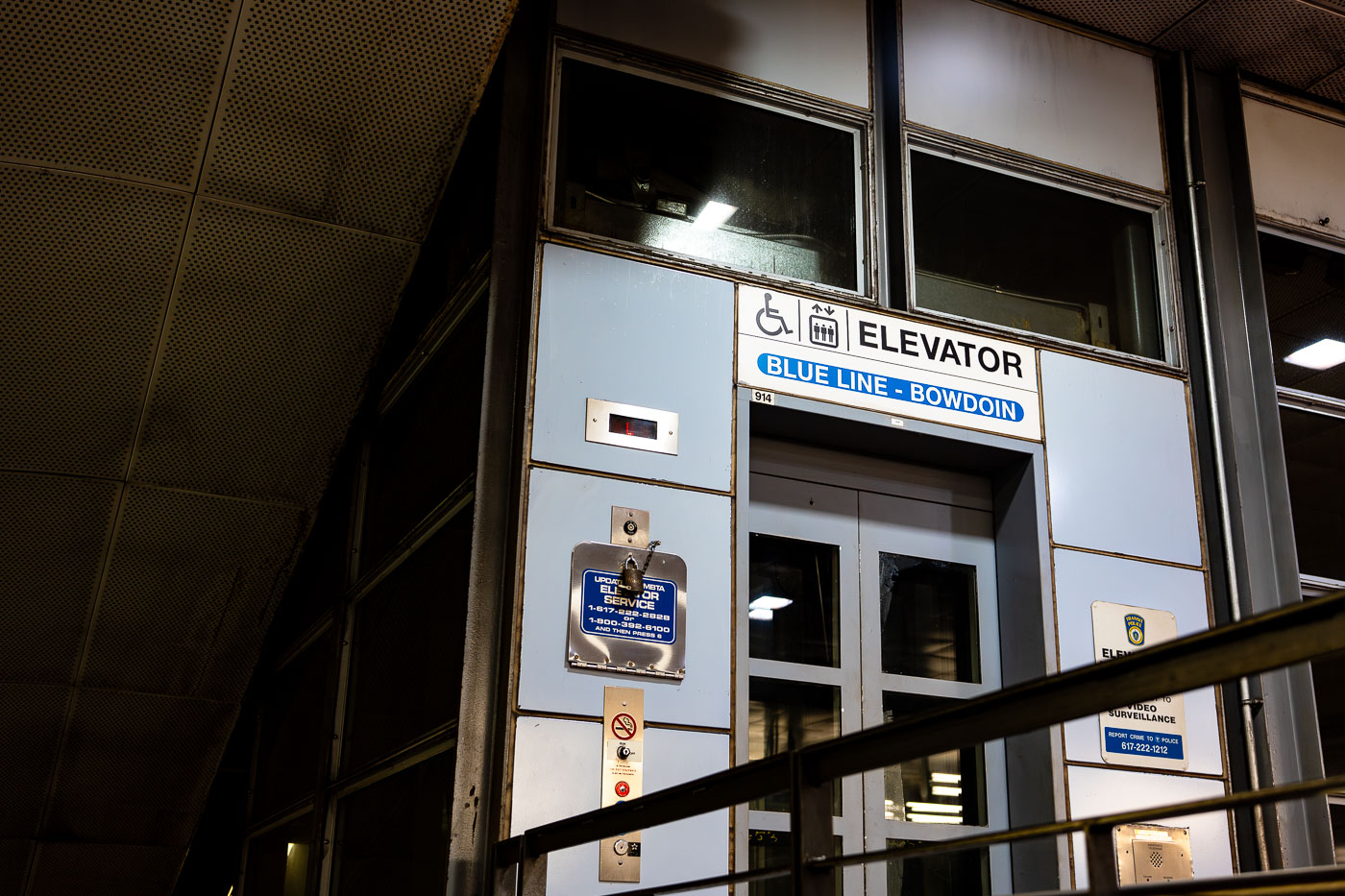
Elevator entrance at Bowdoin Station, the downtown terminal of Boston's MBTA Blue Line.
Bowdoin Station is the western terminus of the MBTA Blue Line, sitting beneath Cambridge Street near the Massachusetts State House. It opened in 1916 as part of the East Boston Tunnel, making it one of the oldest subway stations still in use in the country. Bowdoin operates on limited hours and reduced service compared to other stops, and many Blue Line trains bypass it entirely outside peak periods. The station has only one entrance, at the corner of Bowdoin and Cambridge streets, with no direct connection to other MBTA lines.

Bowdoin Station Elevator Entrance, MBTA Blue Line
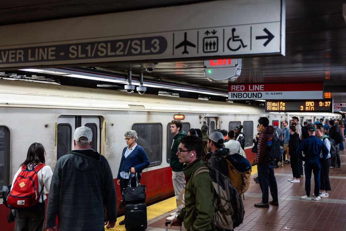
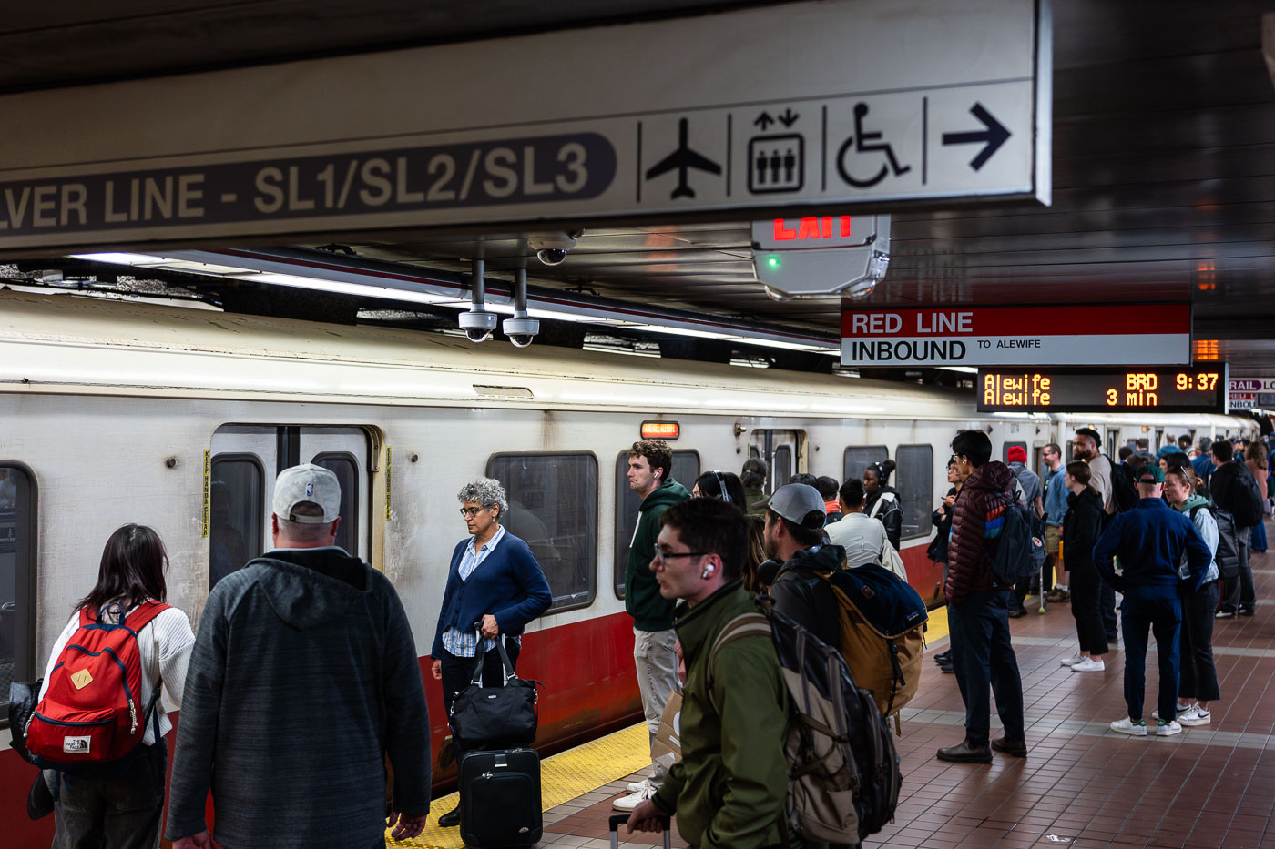
Passengers wait on an MBTA Red Line inbound platform at South Station in Boston.
South Station's Red Line platform sits below the MBTA's largest transit hub, where subway, commuter rail, and intercity Amtrak service converge at Dewey Square. The Red Line here runs inbound toward Alewife in Cambridge, one end of a line that also branches south to Ashmont and Braintree. Overhead signage marks the adjacent Silver Line routes SL1, SL2, and SL3, bus rapid transit services that connect South Station to Logan International Airport and the Seaport District. South Station opened in its current form in 1899 and was rebuilt as a modern multimodal terminal in the 1980s after decades of decline.

MBTA Red Line Platform, South Station, Boston
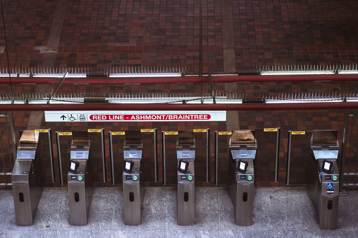
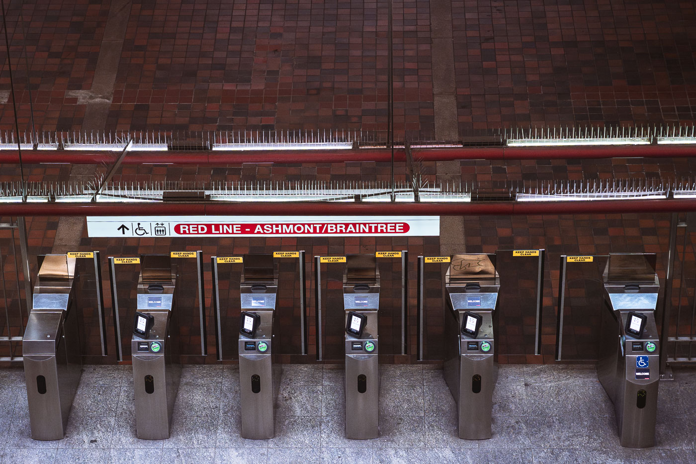
Fare gates at Alewife Station, the northern terminus of Boston's MBTA Red Line.
Alewife Station, at the Red Line's northern terminus in Cambridge, uses fare gates like these to control access to Ashmont- and Braintree-bound service. The station opened in 1985 as the final extension of the Red Line north from Harvard, replacing a temporary terminus at Harvard Square. Alewife serves as a major park-and-ride hub for commuters from northwest of Boston, with an attached garage that is among the largest in the MBTA system. Riders tap CharlieCards or contactless payment at gates like these before continuing to platforms serving both branches of the line.

Fare Gates for the Red Line’s Ashmont/Braintree Branch
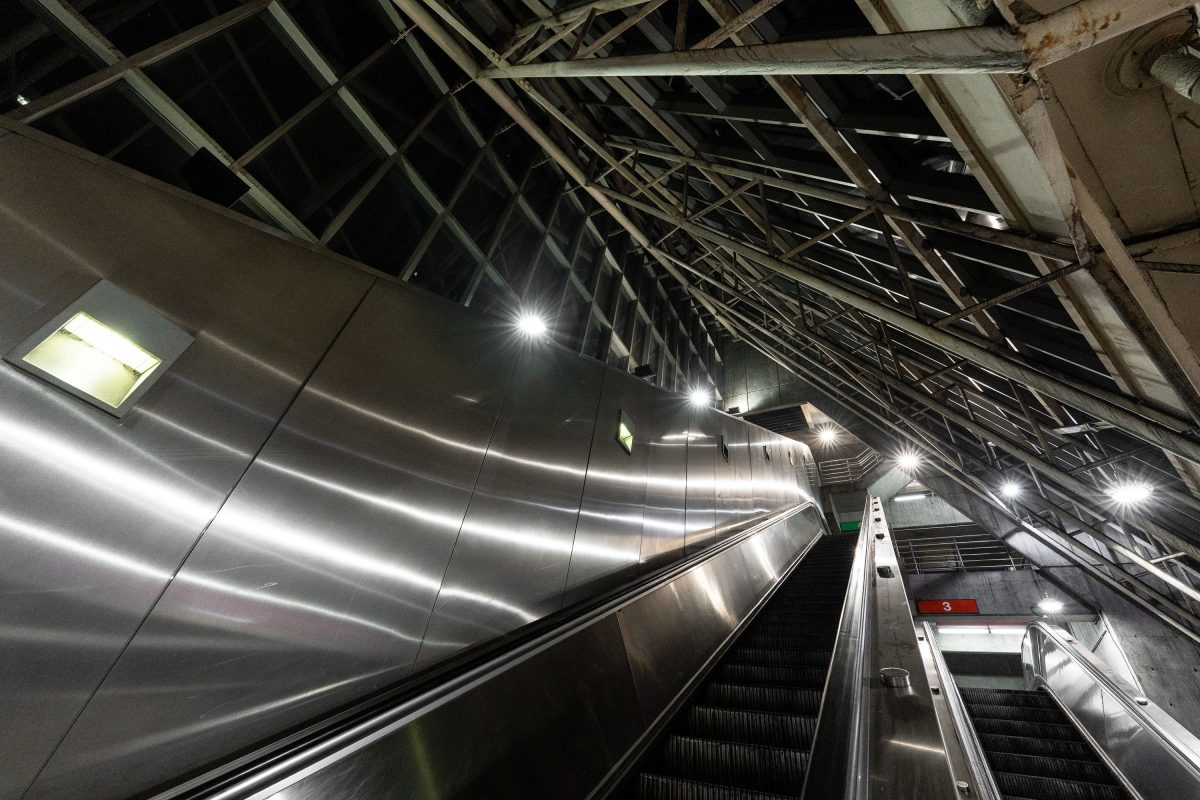
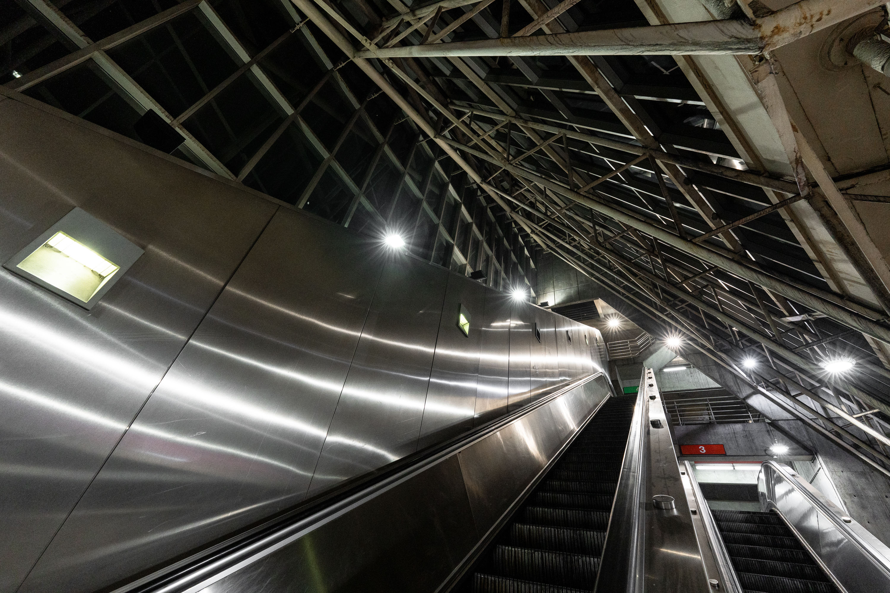
Escalators at MBTA Alewife Station in Cambridge with metal ceiling panels and industrial lighting.
Alewife Station anchors the northern end of the MBTA Red Line, opened in 1985 as the system's newest terminus after a decade of construction through Cambridge's Alewife Brook corridor. The station was designed by the architecture firm Ellenzweig Associates, with a steel-and-glass roof structure meant to bring daylight down to the below-grade platform level. Its attached garage holds roughly 2,700 vehicles, making it one of the largest park-and-ride facilities in the MBTA network. Bus routes serving Arlington, Belmont, and Lexington also converge here, making Alewife a primary transfer point for commuters heading into Boston.

Escalators to the Platform, Alewife Station, Cambridge
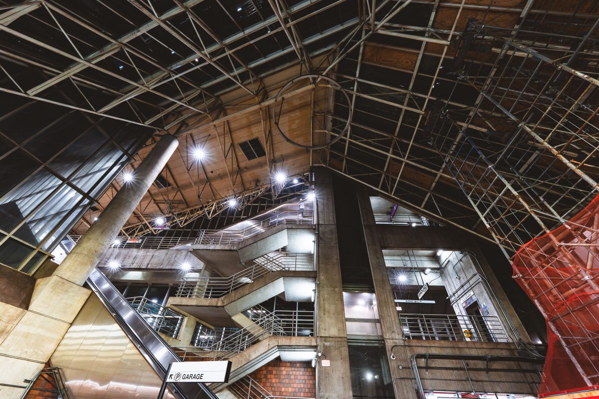
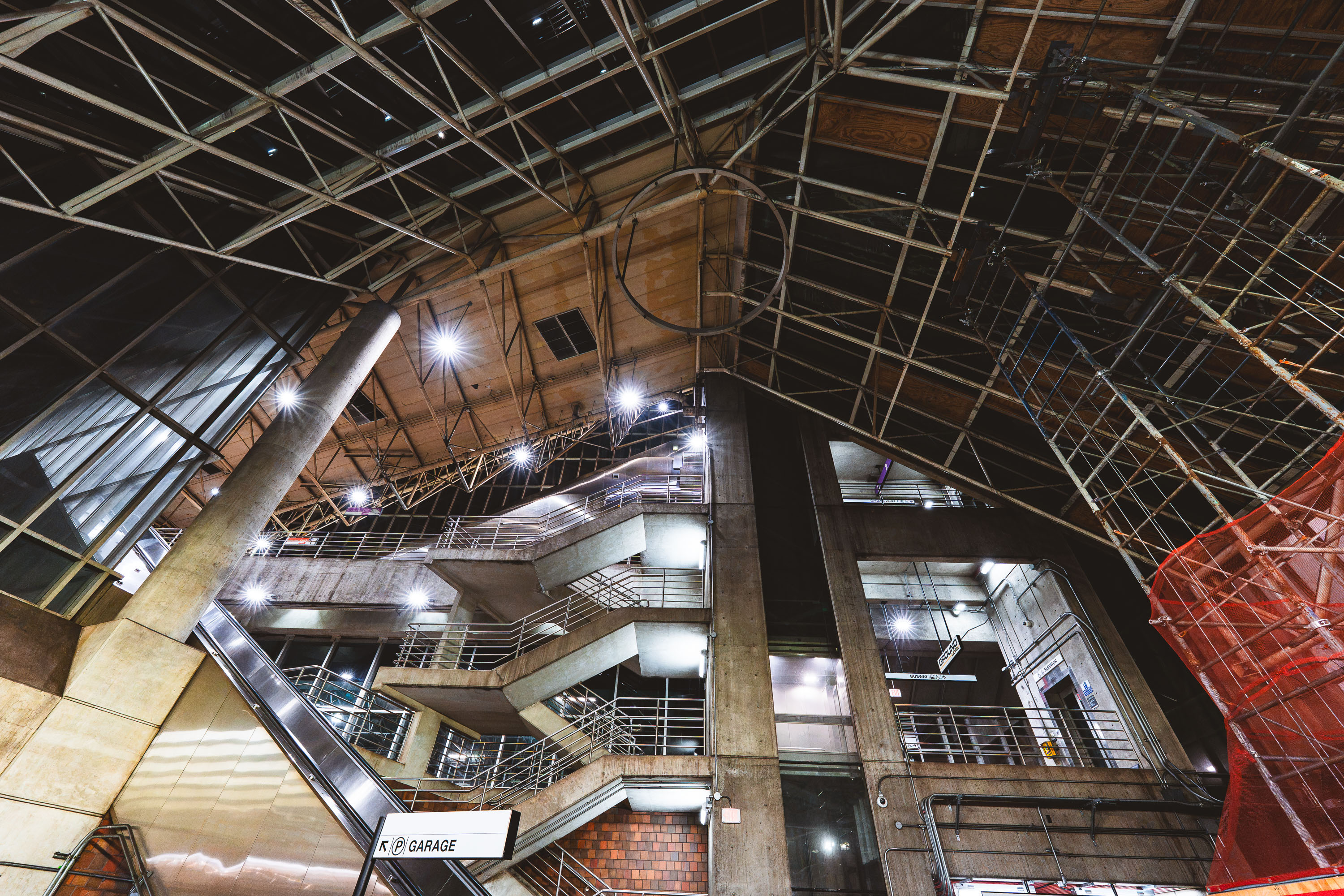
Interior view of Alewife Station's multilevel parking garage with exposed concrete structure and metal framework.
Alewife Station, the northern terminus of the MBTA Red Line, opened in 1985 and was designed by architect Ted Ashton with structural work by Paul Rudolph, whose signature exposed-truss roof and raw concrete forms define the terminal. The station sits atop a large multilevel parking garage, one of the largest transit parking facilities in the MBTA system, built to serve commuters from Cambridge and the northwestern suburbs. Its Brutalist design, unusual for a transit hub, has made it a subject of architectural debate since it opened. The garage and station remain in daily operation, connecting Red Line trains with bus routes and the Minuteman Bikeway.

Exposed Trusses and Parking Garage at Alewife Station
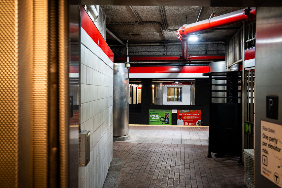
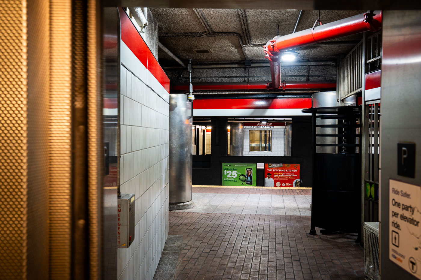
Andrew Station MBTA Red Line platform corridor with red structural beams and white tile walls, Boston.
Andrew Station serves the MBTA Red Line in the Dorchester section of South Boston, opened in 1873 as a stop on the Old Colony Railroad before later becoming part of the Red Line's Ashmont branch. The station sits below street level, with elevators and turnstiles connecting the mezzanine to the platforms. It functions as a transfer point for local bus routes serving Dorchester and South Boston.

Andrew Station elevator access, MBTA Red Line, Boston
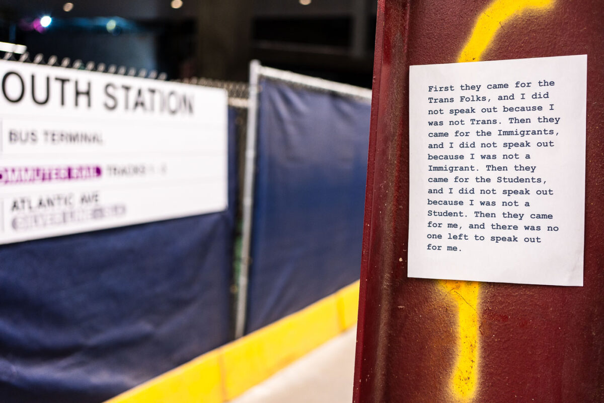
Posted protest message at South Station in Boston quoting anti-oppression text about marginalized communities.
South Station is Boston's primary intercity transportation hub, serving Amtrak, MBTA commuter rail, the Red Line, and Silver Line bus connections. A paper flyer posted near the terminal paraphrases Martin Niemöller's post-World War II confession about political complacency under Nazi rule, updating its list of targeted groups to trans people, immigrants, and students. The original quote is widely used in political and activist messaging to warn against staying silent as different groups are singled out one after another.

“First They Came for the Trans Folks” Flyer at South Station
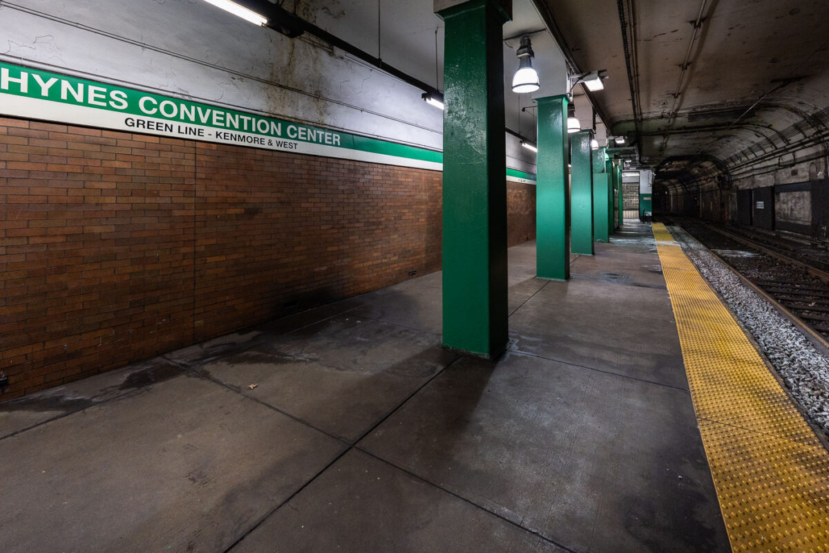
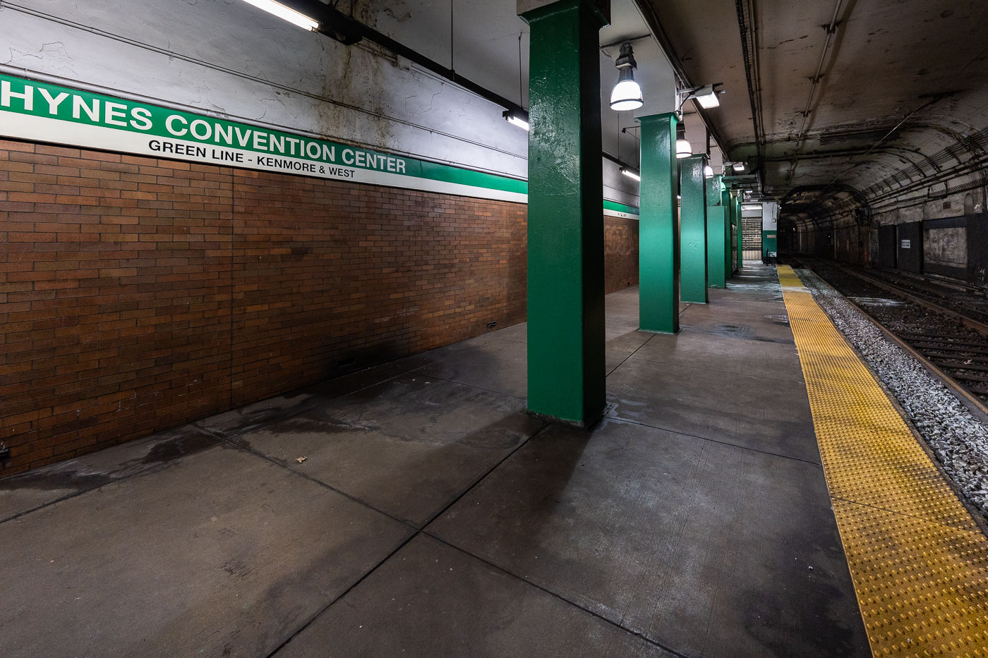
Hynes Convention Center station platform on the MBTA Green Line in Boston, showing green support columns and yellow safety stripe.
Hynes Convention Center station sits on the MBTA Green Line in Boston's Back Bay, named for the adjacent convention center at 900 Boylston Street. The platform serves westbound trolleys toward Kenmore Square and the B, C, and D branches beyond. It's one of the system's older stops, dating to the original Boylston Street subway extension of the early 20th century, and remains at street level below Newbury and Boylston streets rather than deep underground like many downtown stations.

Green Line Platform at Hynes Convention Center Station
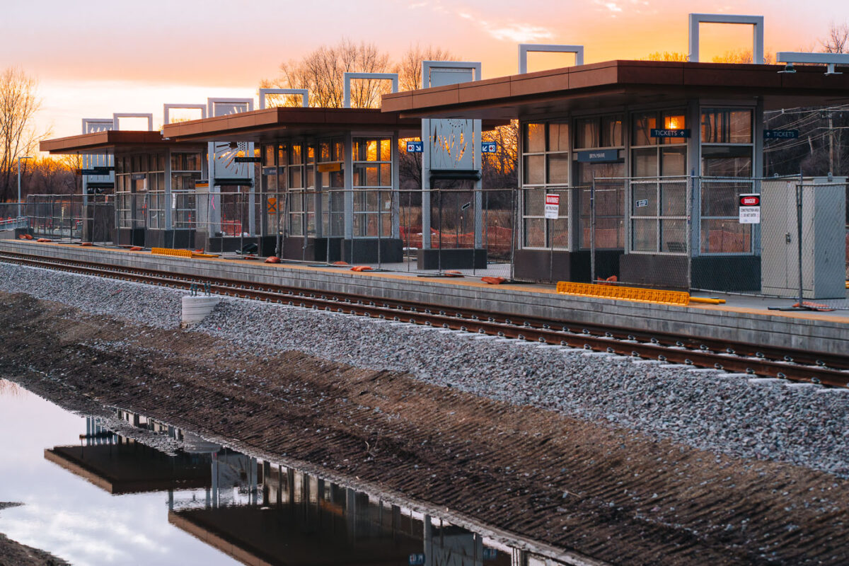
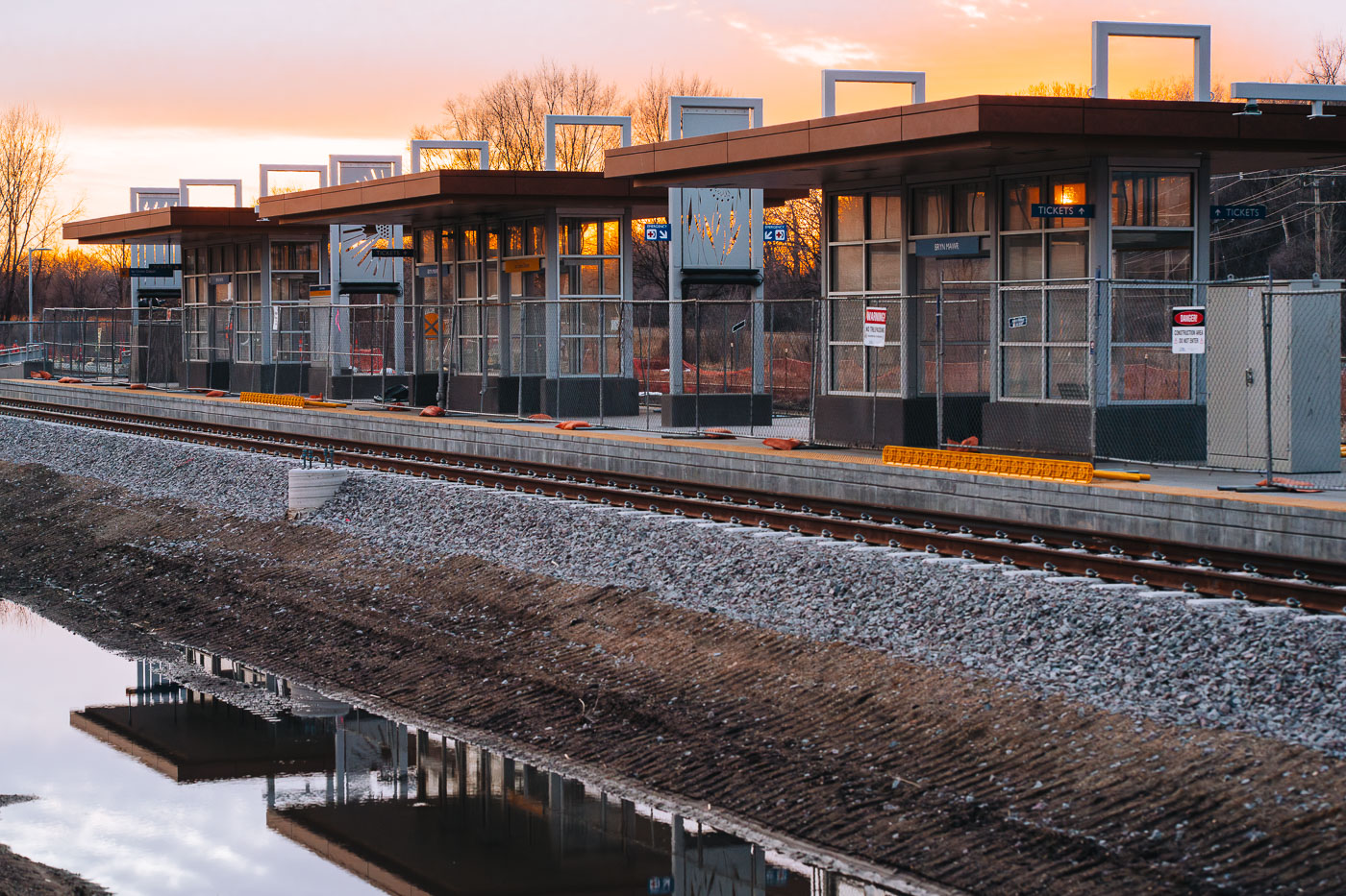
Bryn Mawr Station platform under construction for the Metro Transit Green Line Extension in Minneapolis at sunset.
Bryn Mawr Station in Minneapolis is shown at sunset. This station is a part of the Metro Transit Green Line Extension, also known as the Southwest Light Rail Transit (LRT).

Bryn Mawr Station Platform Under Construction at Dusk
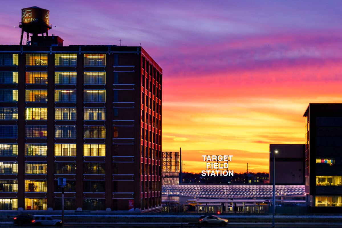
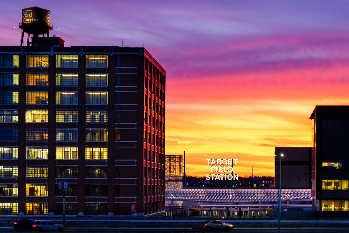
Target Field Station light rail platform at sunset with illuminated Ford Center building in Minneapolis North Loop.
Target Field Station, a light rail station in Minneapolis’s North Loop, is located adjacent to Target Field, home of the Minnesota Twins. In the foreground is the historic Ford Center.

Sunset Over the Ford Center and Target Field Station
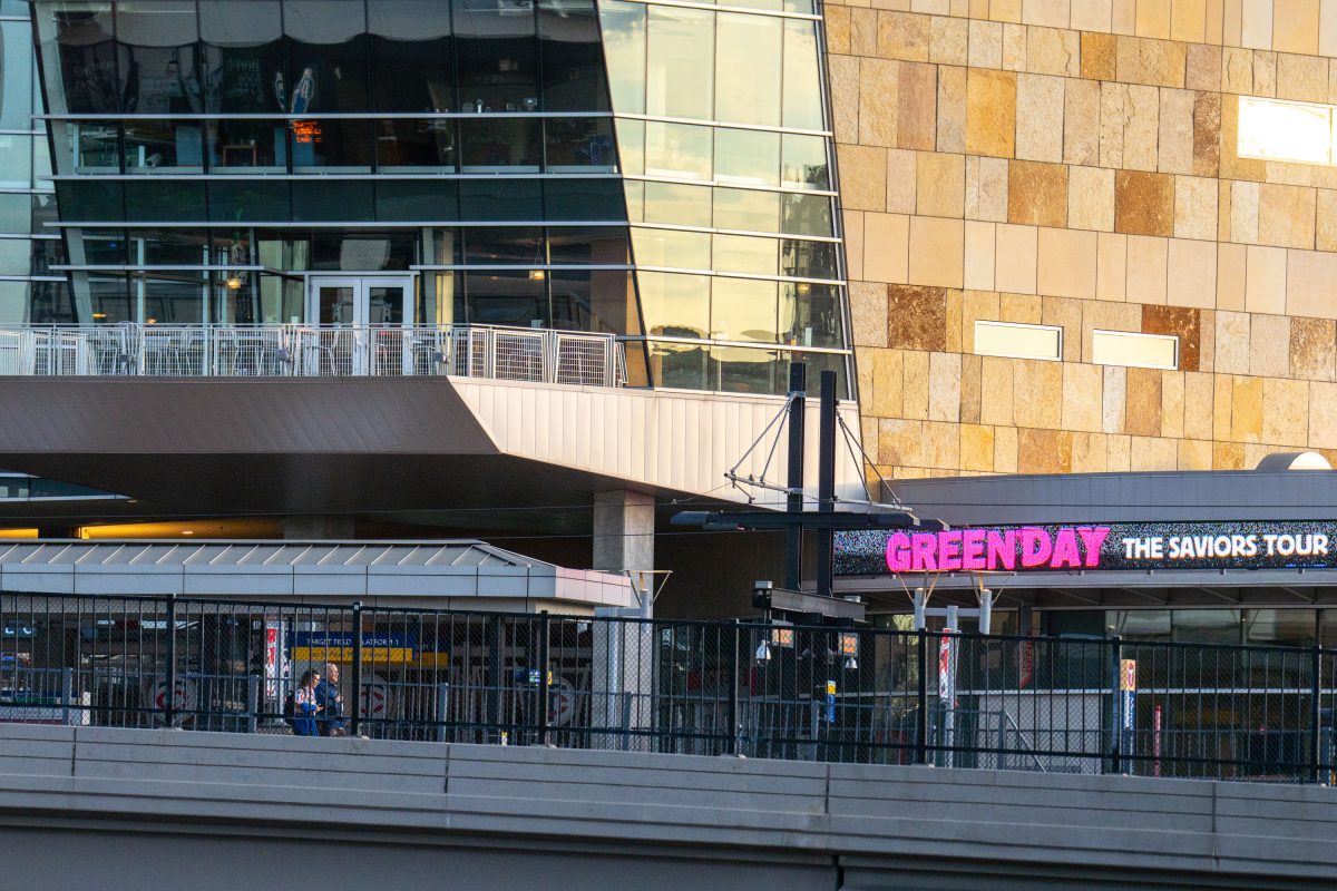
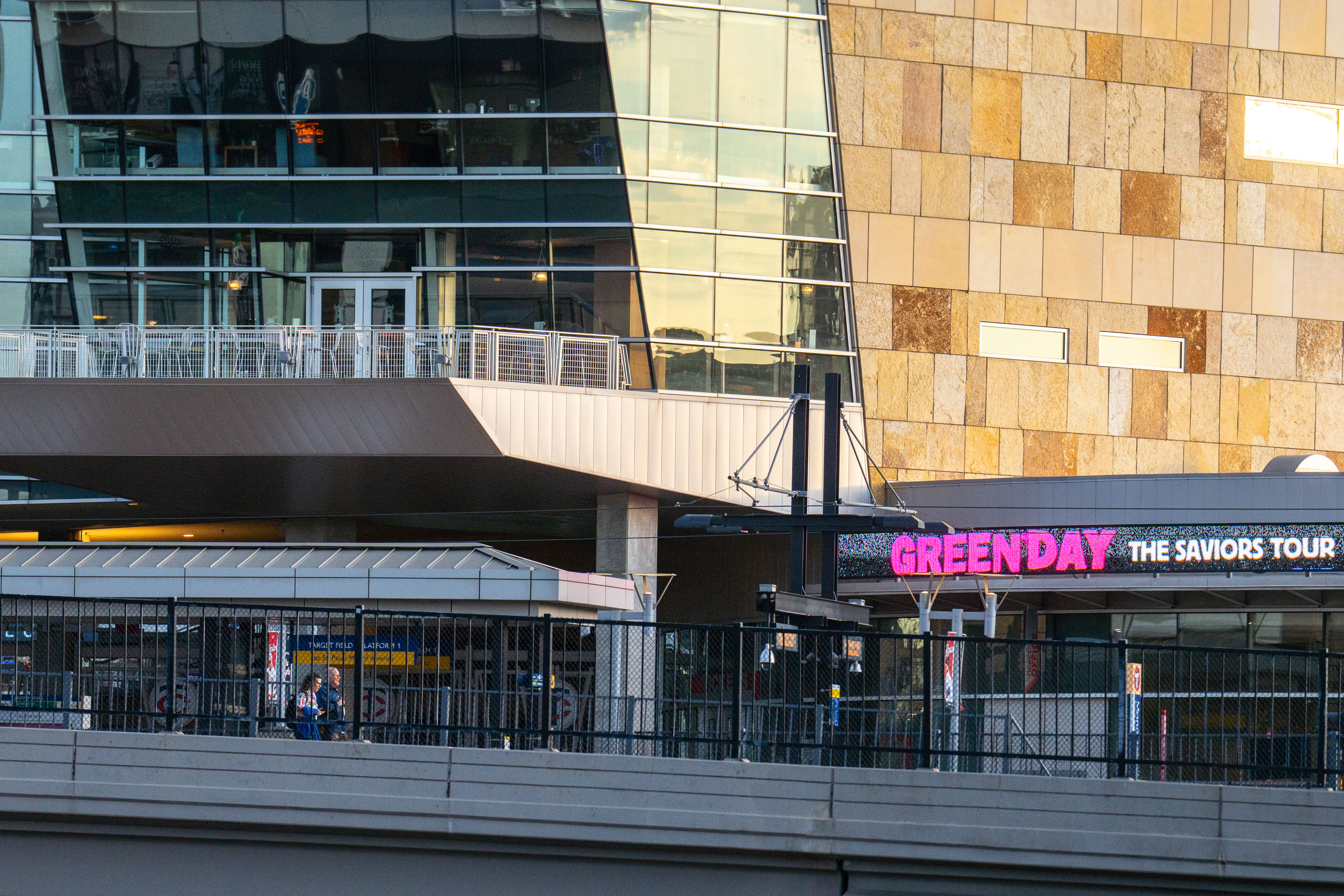
Green Day billboard in Minneapolis
Green Day signage outside of Target Field and Target Field Station.

Green Day billboard in Minneapolis

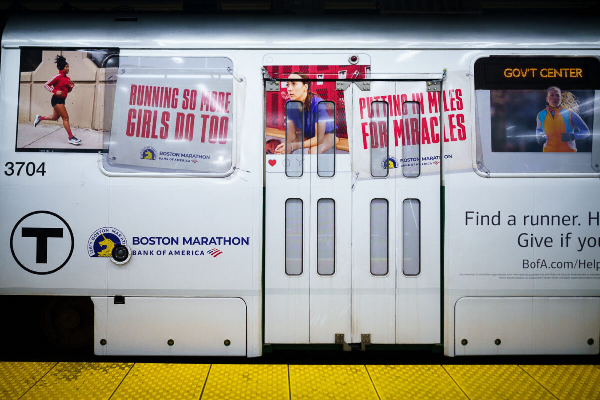
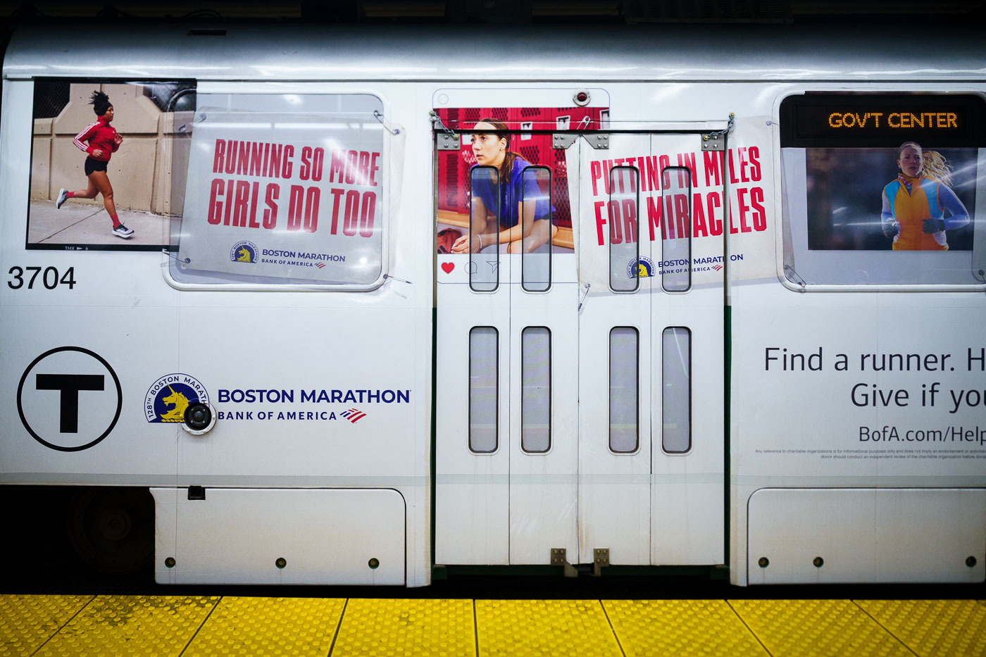
MBTA train 3704 displays Boston Marathon advertising wrap with runner imagery and charitable messaging at a subway platform.
The Boston Marathon, first run in 1897, is the world's oldest annual marathon and finishes each year on Boylston Street after a course that begins in Hopkinton. Bank of America has served as the race's presenting sponsor since 2007, backing both the elite competition and its charitable fundraising arm. "Miles for Miracles" is the official marathon program of Boston Children's Hospital, allowing runners to earn bib entries in exchange for raising money for the hospital's patient programs. MBTA transit ads promoting the race and its associated causes typically run each spring in the weeks leading up to Marathon Monday.

Boston Marathon Ad Wrap on an MBTA Train Near Government Center
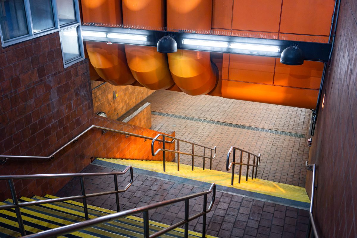
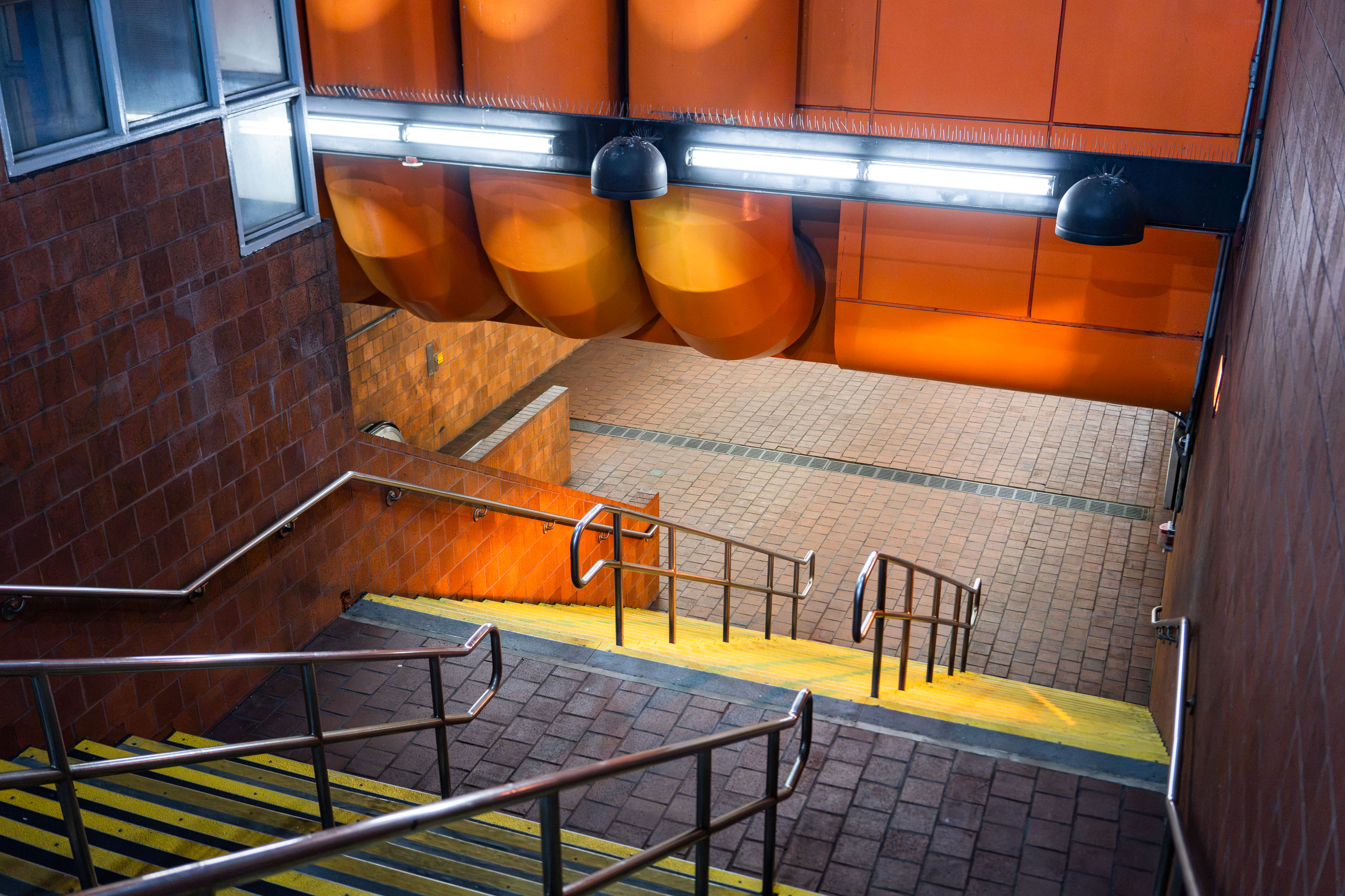
Tufts Medical Center MBTA Orange Line station entrance stairway in Boston with orange panels and yellow safety stripe.
Tufts Medical Center station serves the MBTA Orange Line at the edge of Chinatown, with an entrance on Washington Street near the hospital campus it's named for. The station opened in 1987 as part of the Orange Line's relocation from the old Washington Street Elevated to the current Southwest Corridor alignment. It sits between Chinatown and Back Bay stations, giving riders a direct connection to the medical center and the surrounding downtown blocks.

Stairway at Tufts Medical Center Station, Boston
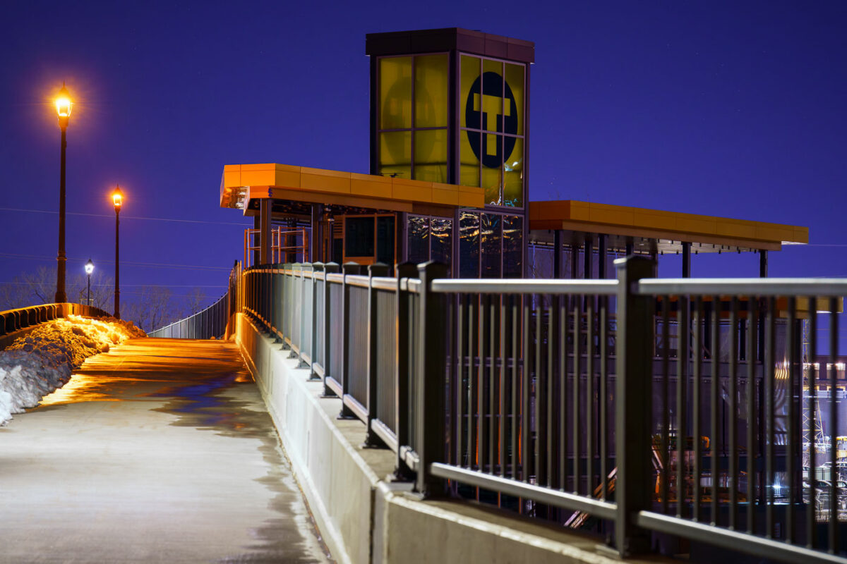
Bassett Creek Valley Light Rail Transit station illuminated at dusk during final construction in Minneapolis.
The Bassett Creek Valley Light Rail Transit (LRT) Station in Minneapolis, photographed in March 2024, is part of the Southwest LRT Green Line Extension project.

Bassett Creek Valley Station at Night on the Green Line Extension
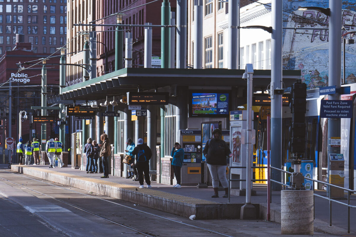
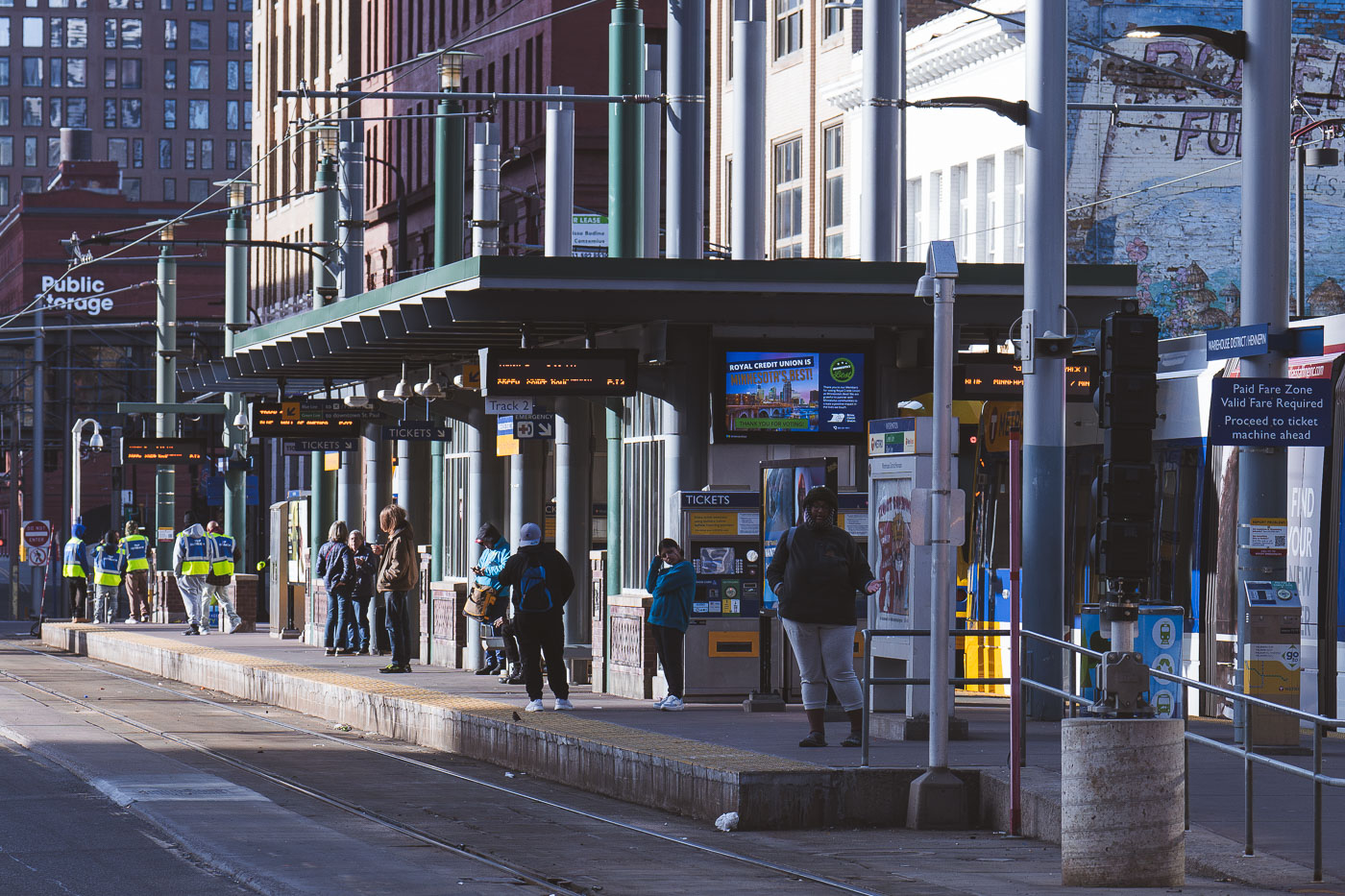
TRIP Outreach workers engage with riders on the platform at Warehouse District/Hennepin Station in downtown Minneapolis.
TRIP Outreach workers engage with riders at the Warehouse District/Hennepin Station, a key Light Rail Transit (LRT) stop in downtown Minneapolis. TRIP Outreach workers on the platform.

Outreach Workers Meet Riders on the Hennepin Station Platform
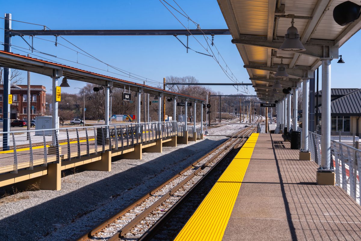
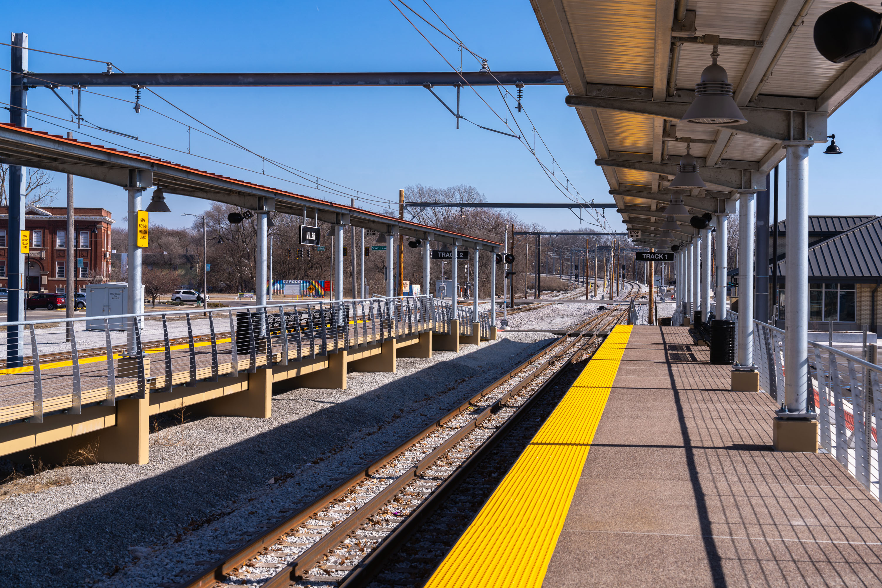
Miller Station platform in Gary, Indiana with electrified light rail tracks and protective canopy.
Miller Station serves as a stop along an electrified light rail corridor, identifiable by the overhead catenary wires strung along the tracks. The platform is marked for Track 1, a multi-track alignment built to accommodate trains running in both directions. Canopies with structural steel framing shelter waiting passengers along the platform's length, a common design feature on modern light rail systems built for weather protection and rider comfort.

Track 1 at Miller Station in Gary, Indiana
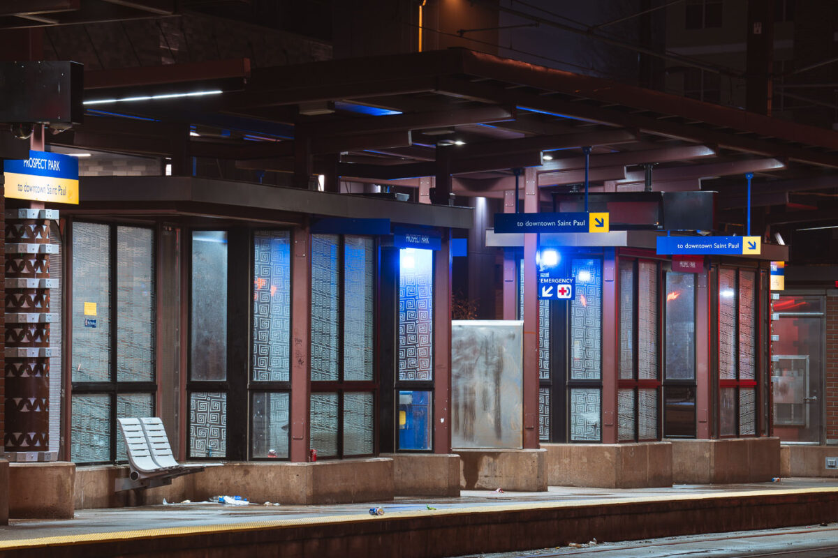
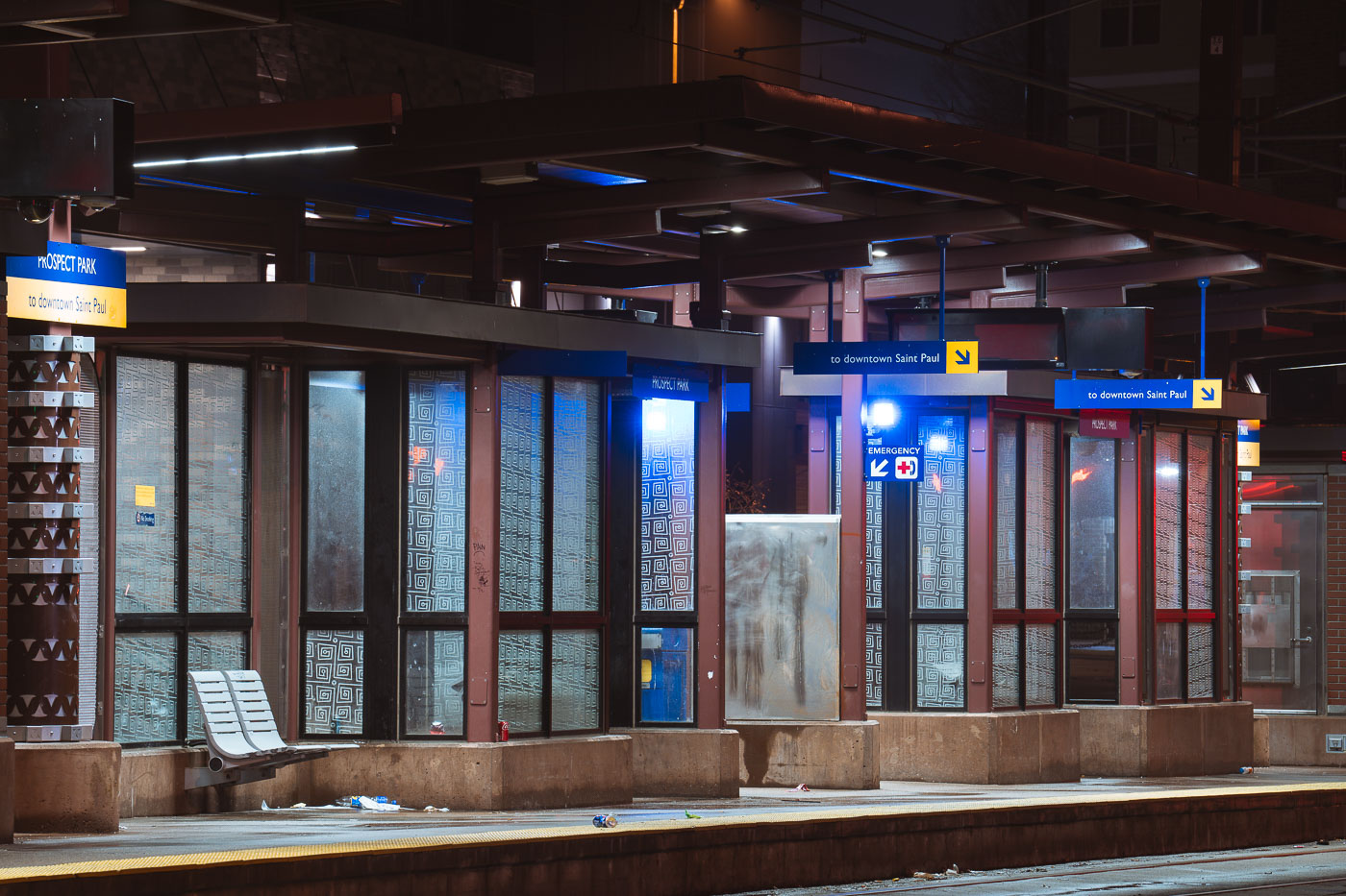
Prospect Park Metro Transit Train Station
The Prospect Park light rail station in Minneapolis serves the Prospect Park neighborhood, providing public transit access along the Metro Transit Green Line. Opened in 2014, the Green Line connects downtown Minneapolis with downtown Saint Paul.

Prospect Park Station at Night on the Green Line
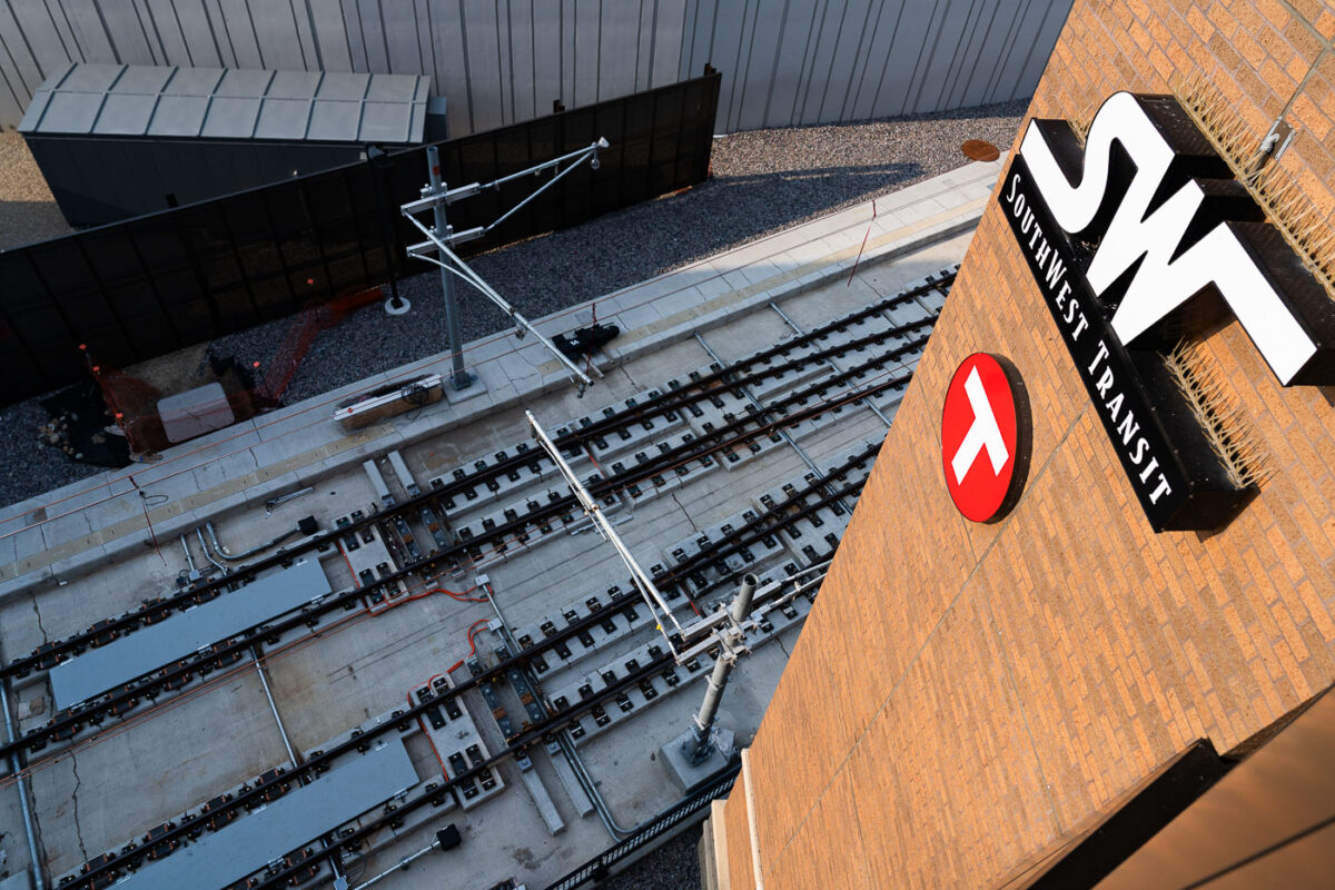
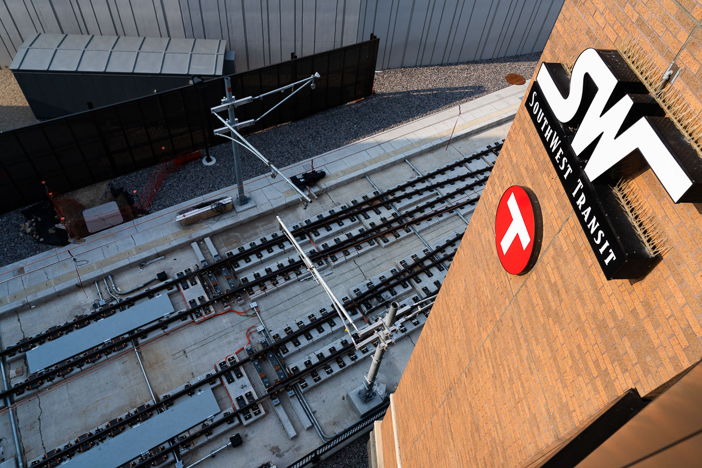
Southwest Station light rail tracks under construction in Eden Prairie, Minnesota, with Metro Transit signage visible on brick
Construction of light rail tracks is underway at Southwest Station in Eden Prairie, Minnesota. The station's signage reads "SWF SOUTHWEST TRANSIT" and features the Metro Transit logo. This image documents the progress of the Southwest Light Rail Transit (SWLRT) project, a significant expansion of public transportation in the Twin Cities. The new line will connect Eden Prairie to Minneapolis, enhancing regional connectivity and transit options for commuters.

Overhead View of LRT Track Construction at Southwest Station
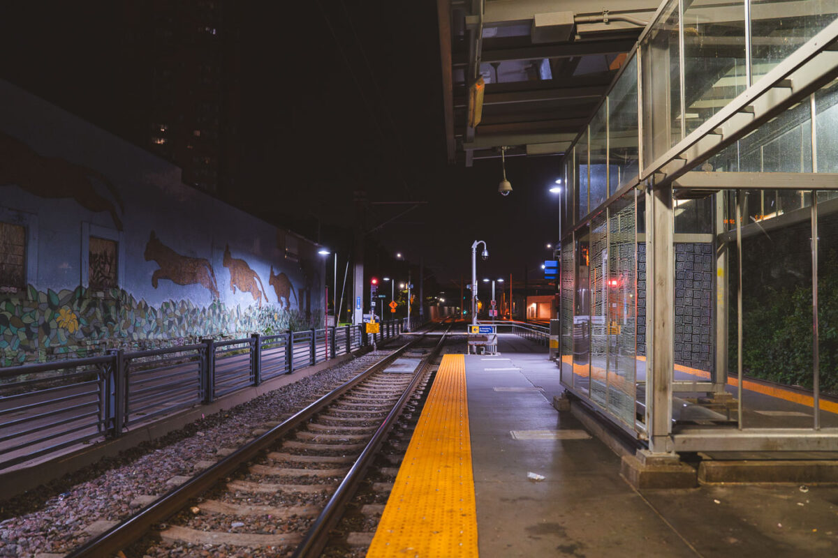
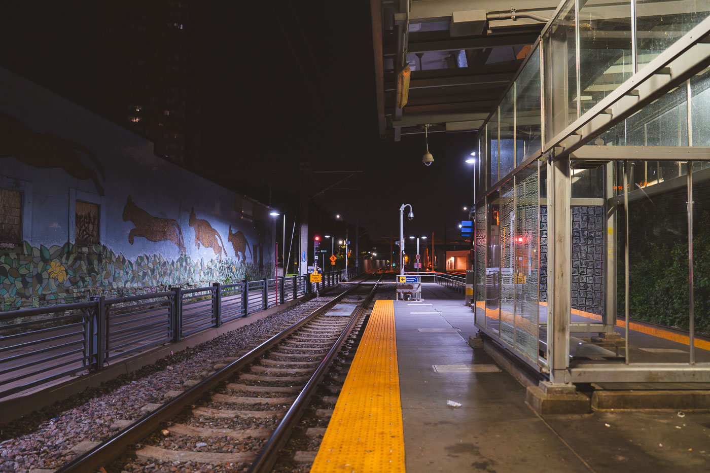
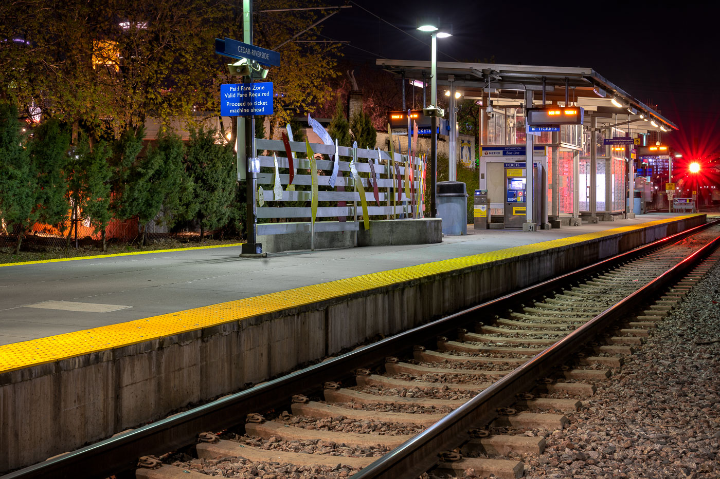
Metro Transit Cedar-Riverside light rail station platform at night in Minneapolis.
Metro Transit Cedar–Riverside station in South Minneapolis in August 2023.

Mural-Lined Platform at Cedar-Riverside Station at Night
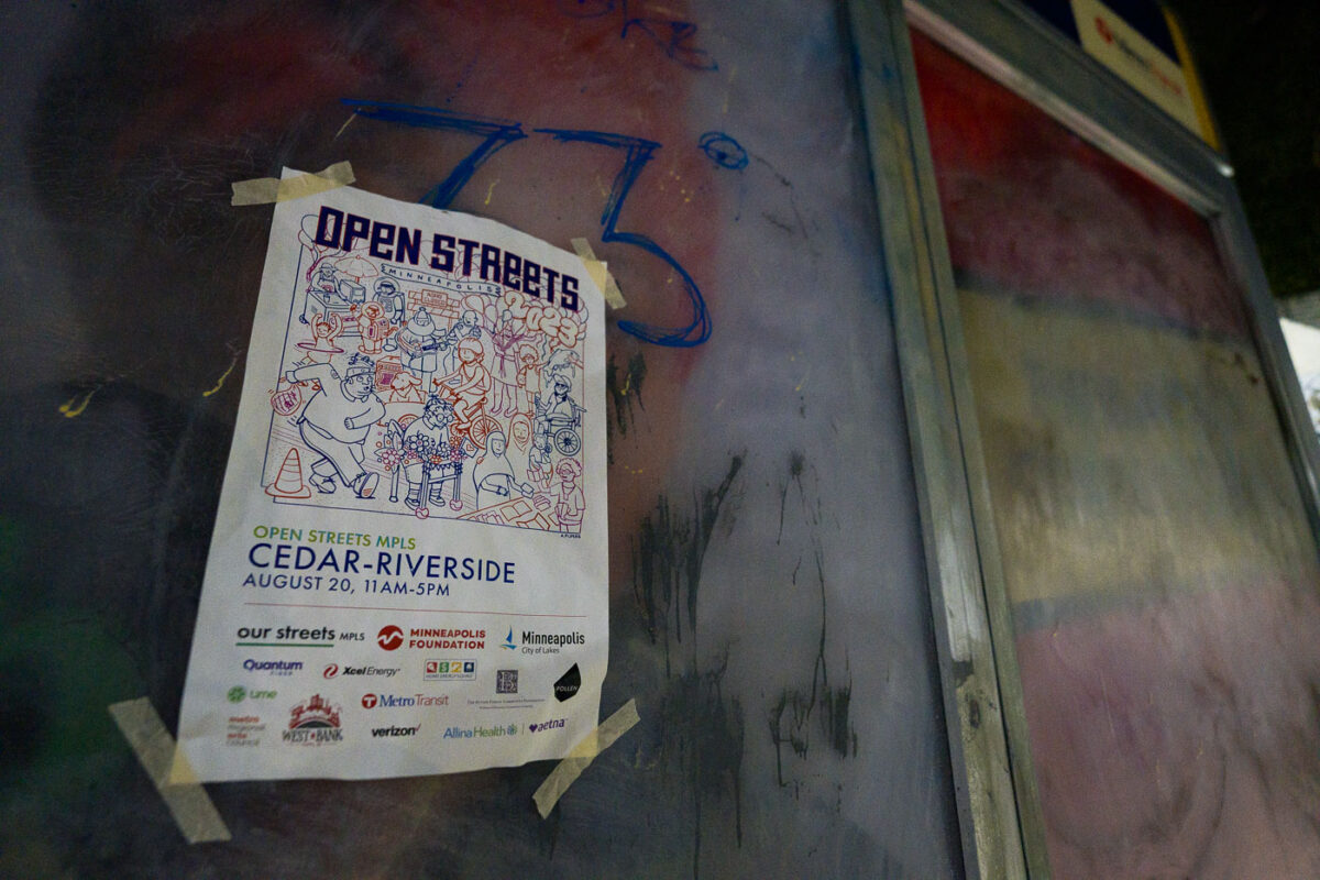
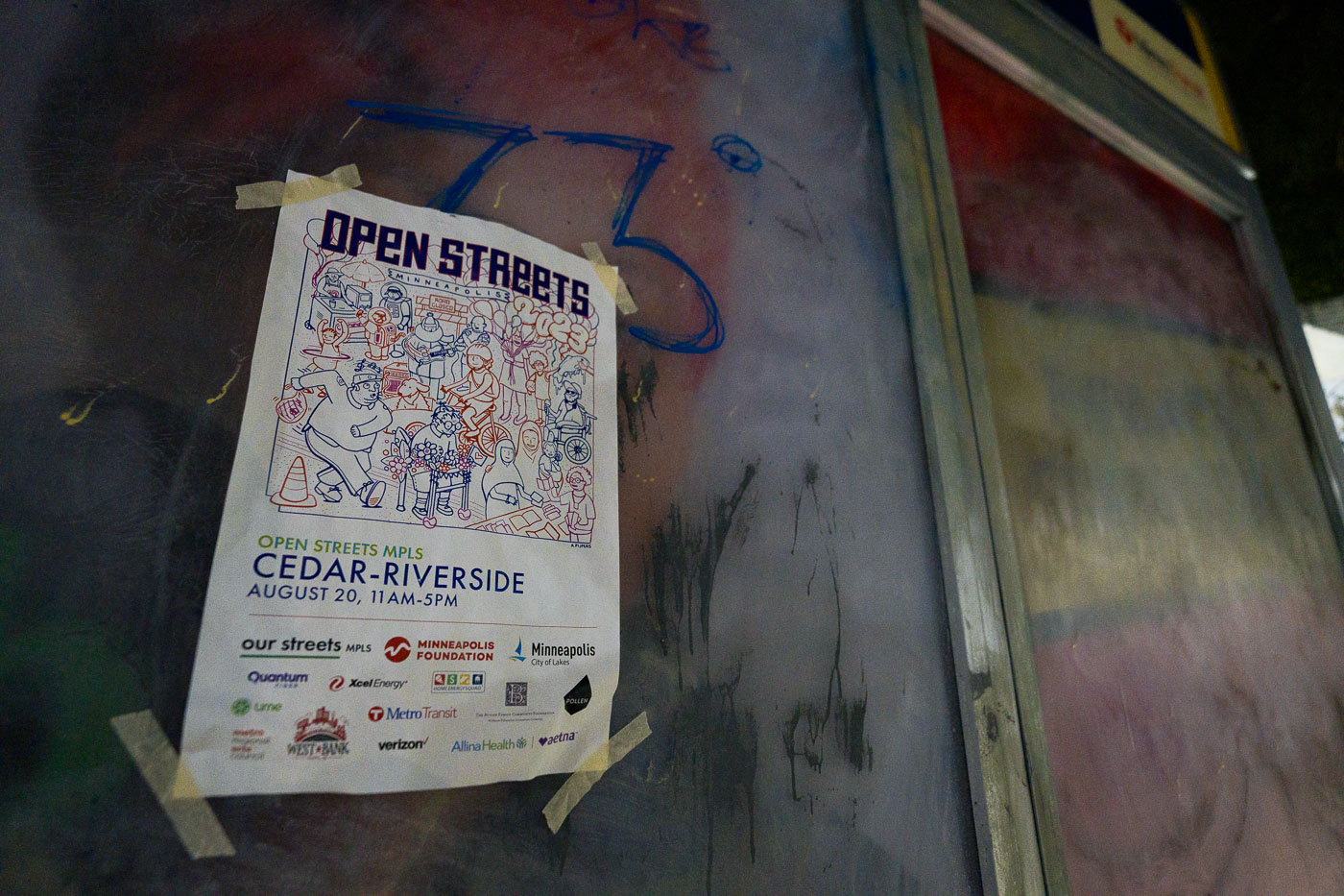
Open Streets flyer taped to a bus stop shelter in Cedar-Riverside, Minneapolis
An Open Streets Minneapolis flyer is taped to a bus stop shelter in Cedar-Riverside, Minneapolis. The poster advertises the August 20 event and shows sponsor logos at the bottom.

Open Streets flyer at Cedar-Riverside bus stop
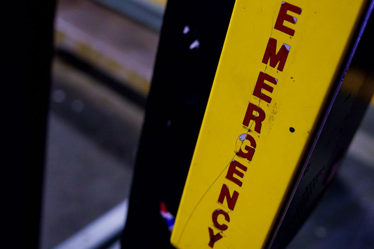
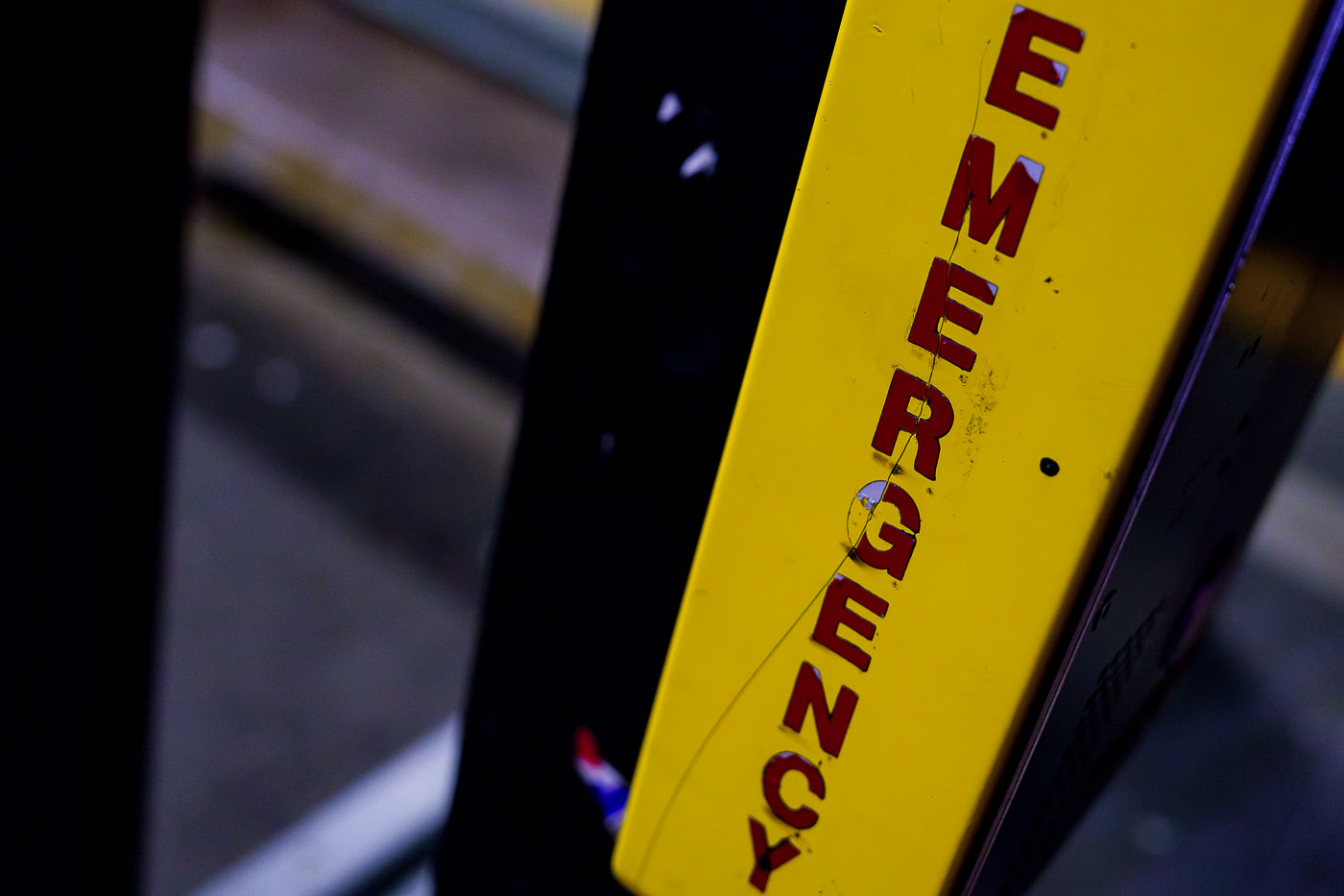
Emergency assistance box at a South Minneapolis light rail station
An emergency assistance box is mounted at a light rail station in South Minneapolis.

Emergency Assistance Box at South Minneapolis Light Rail Station
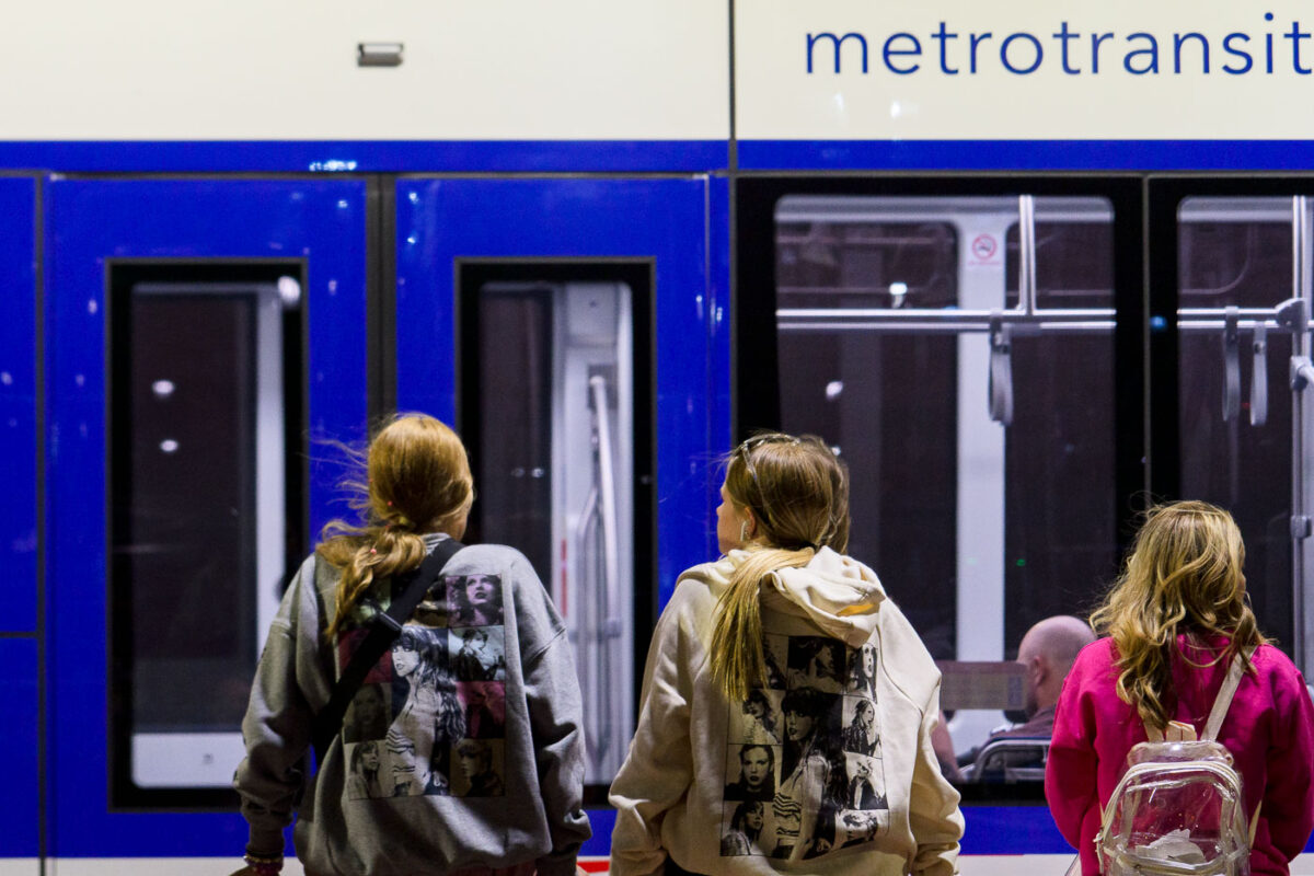
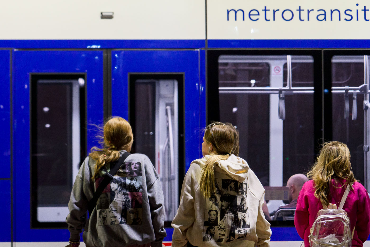
Taylor Swift fans wait to board light rail train in Minneapolis
Fans of musician Taylor Swift gather at a Metro Transit light rail station in Minneapolis, Minnesota. The transit system serves the Twin Cities metropolitan area, providing public transportation via light rail, bus, and commuter rail.

Taylor Swift Fans at Minneapolis Metro Transit Station
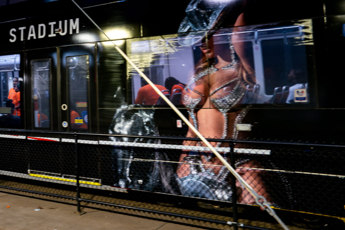
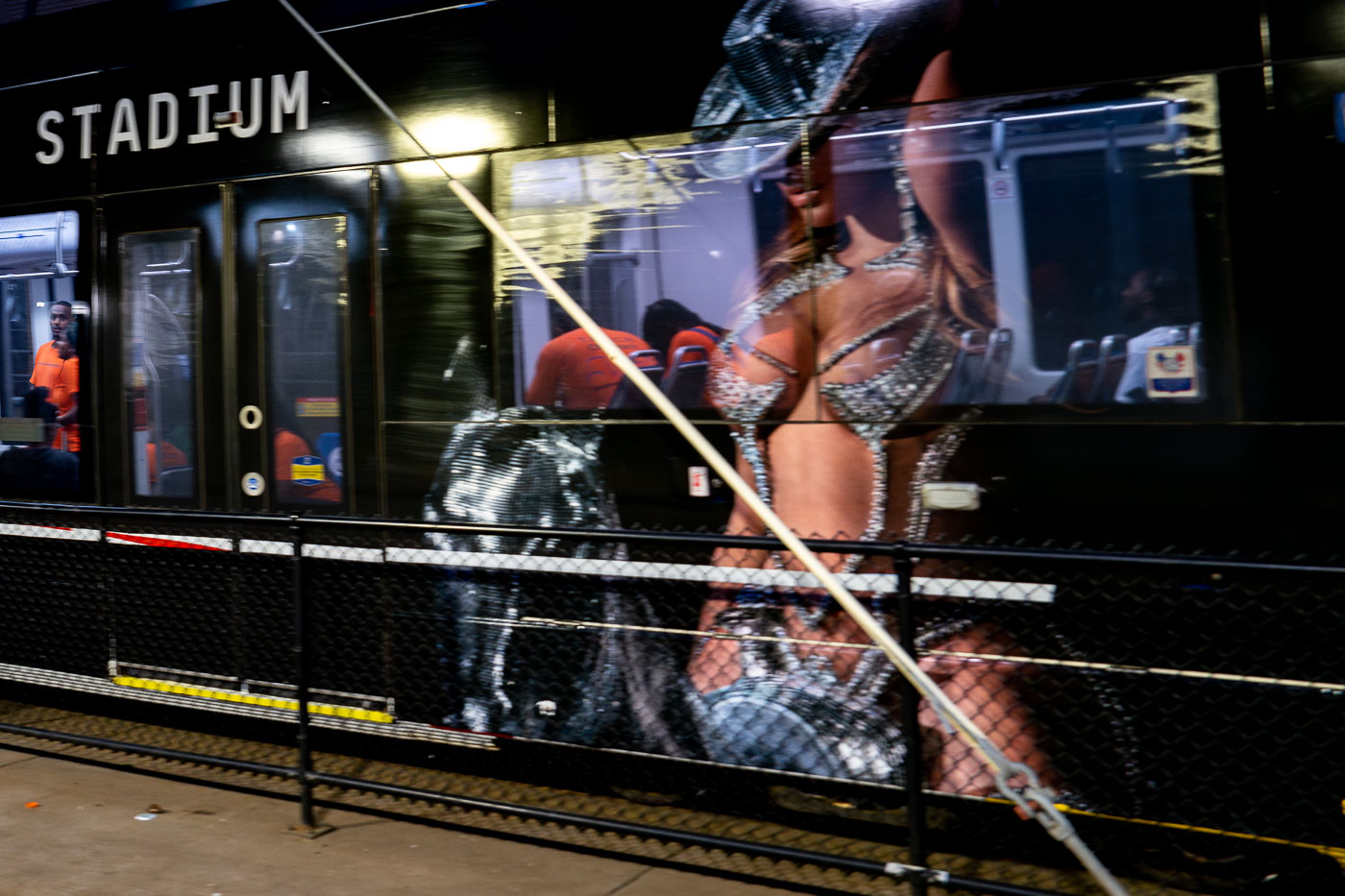
Violence interrupters on LRT train
City of Minneapolis Violence Interrupters rode a Metro Transit light rail train near US Bank Stadium on June 23, 2023. The train was adorned with a large advertisement featuring performer Beyoncé.

Minneapolis Light Rail: TOUCH Outreach & US Bank Stadium
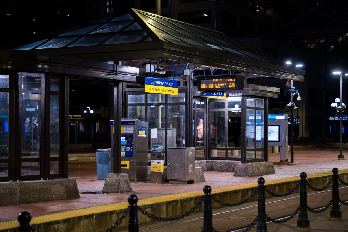
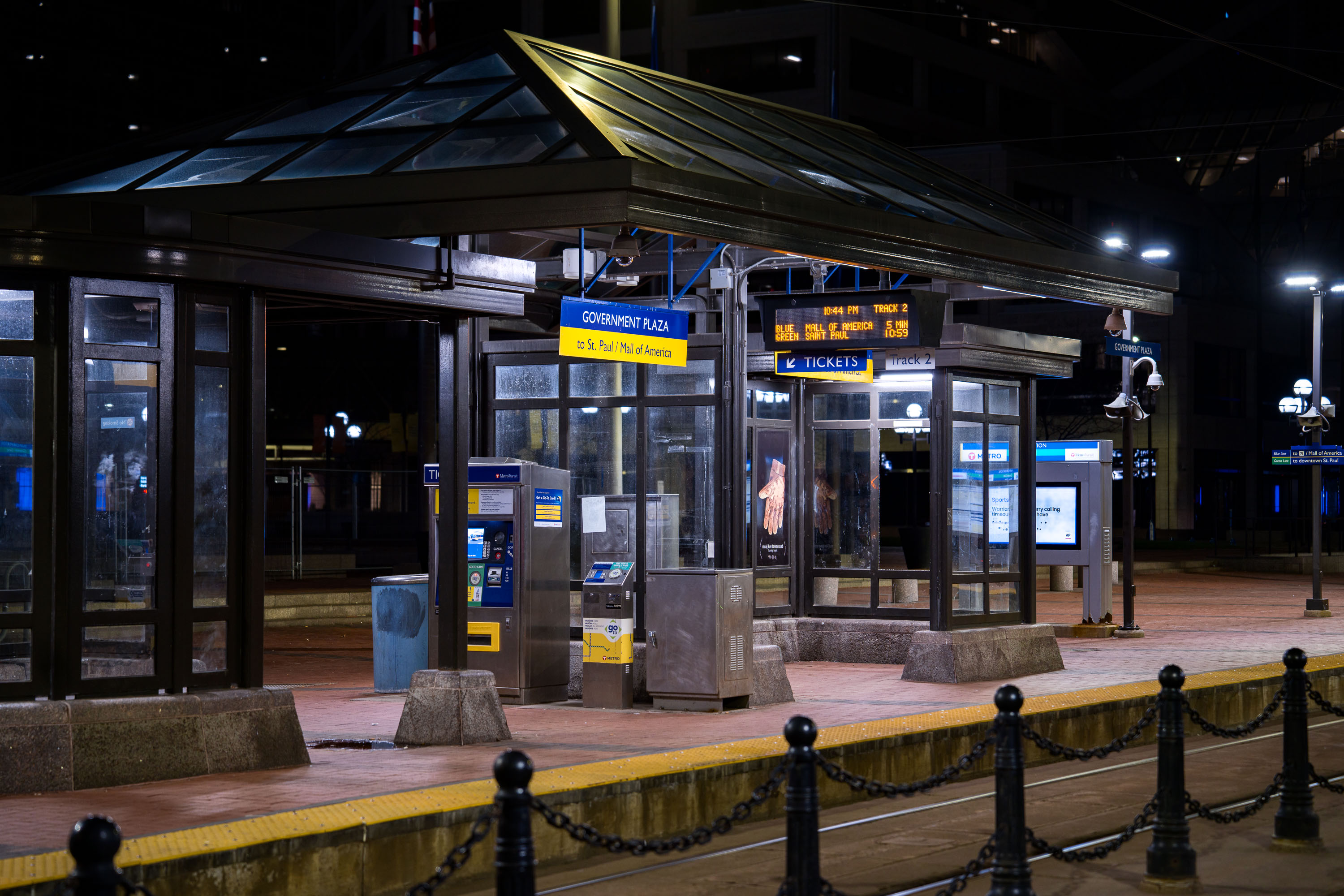
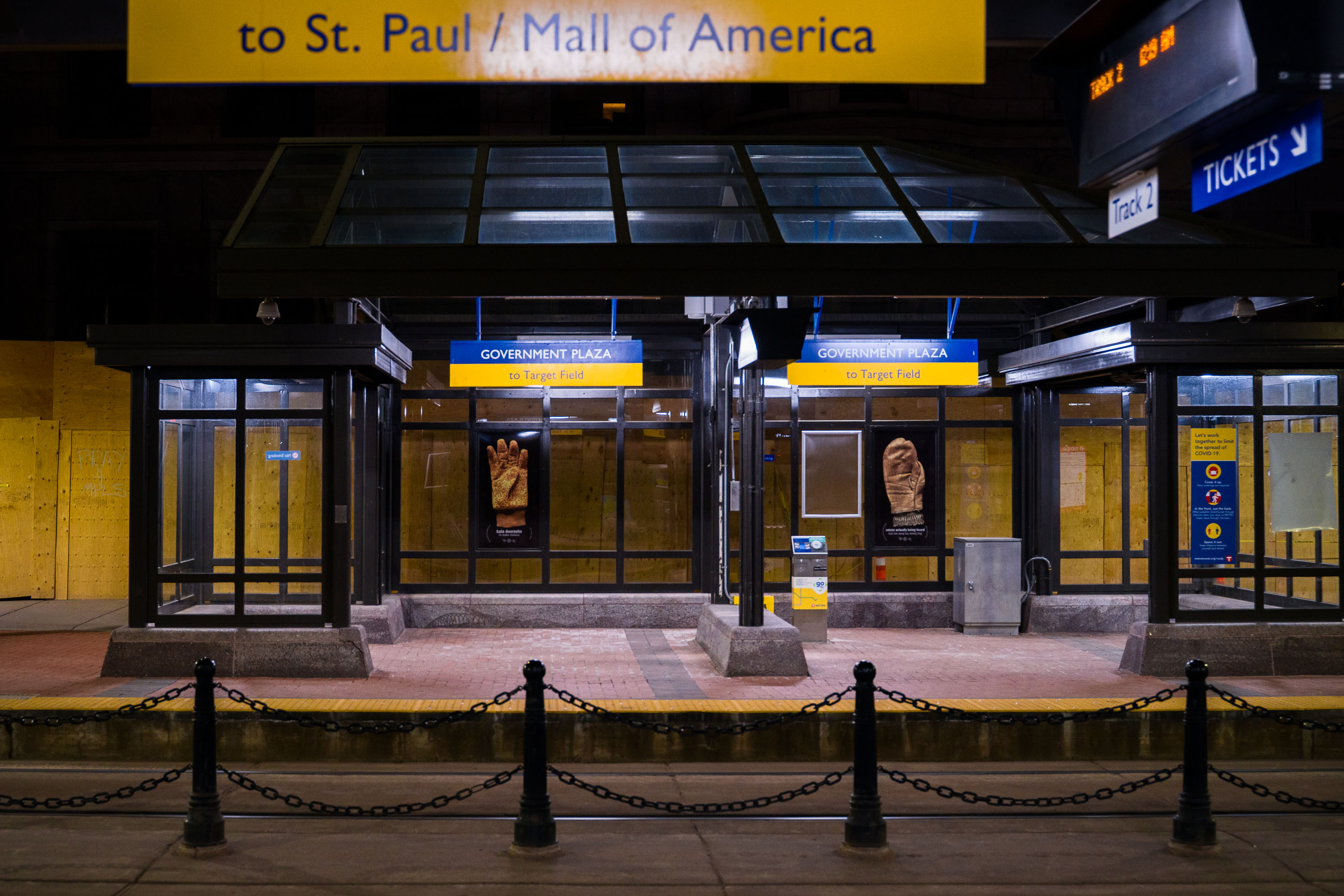
Government Plaza light rail station entrance in downtown Minneapolis with boarded windows and yellow chain barriers at night.
Government Plaza LRT station in downtown Minneapolis.

Late Night at Government Plaza Station, Minneapolis
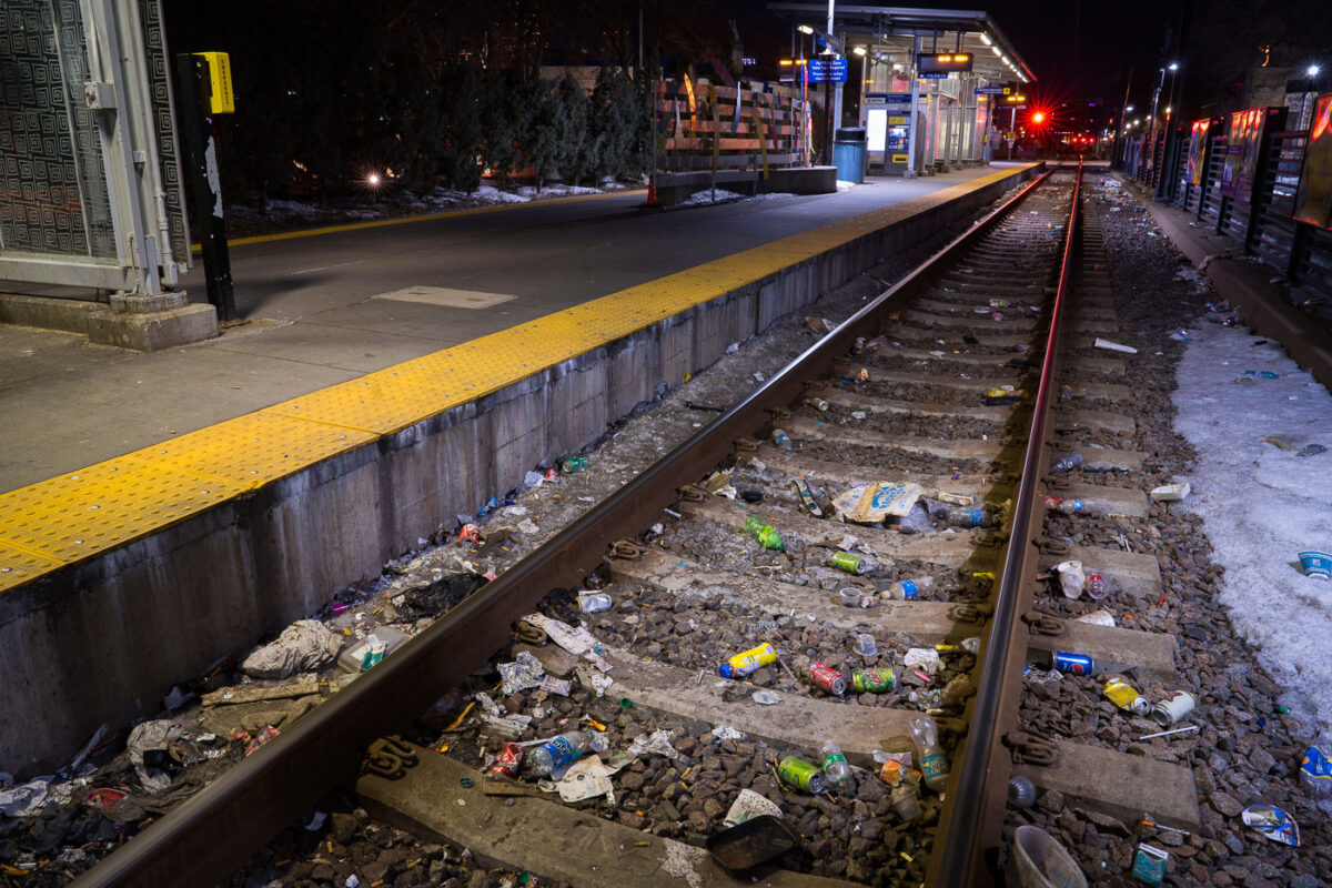
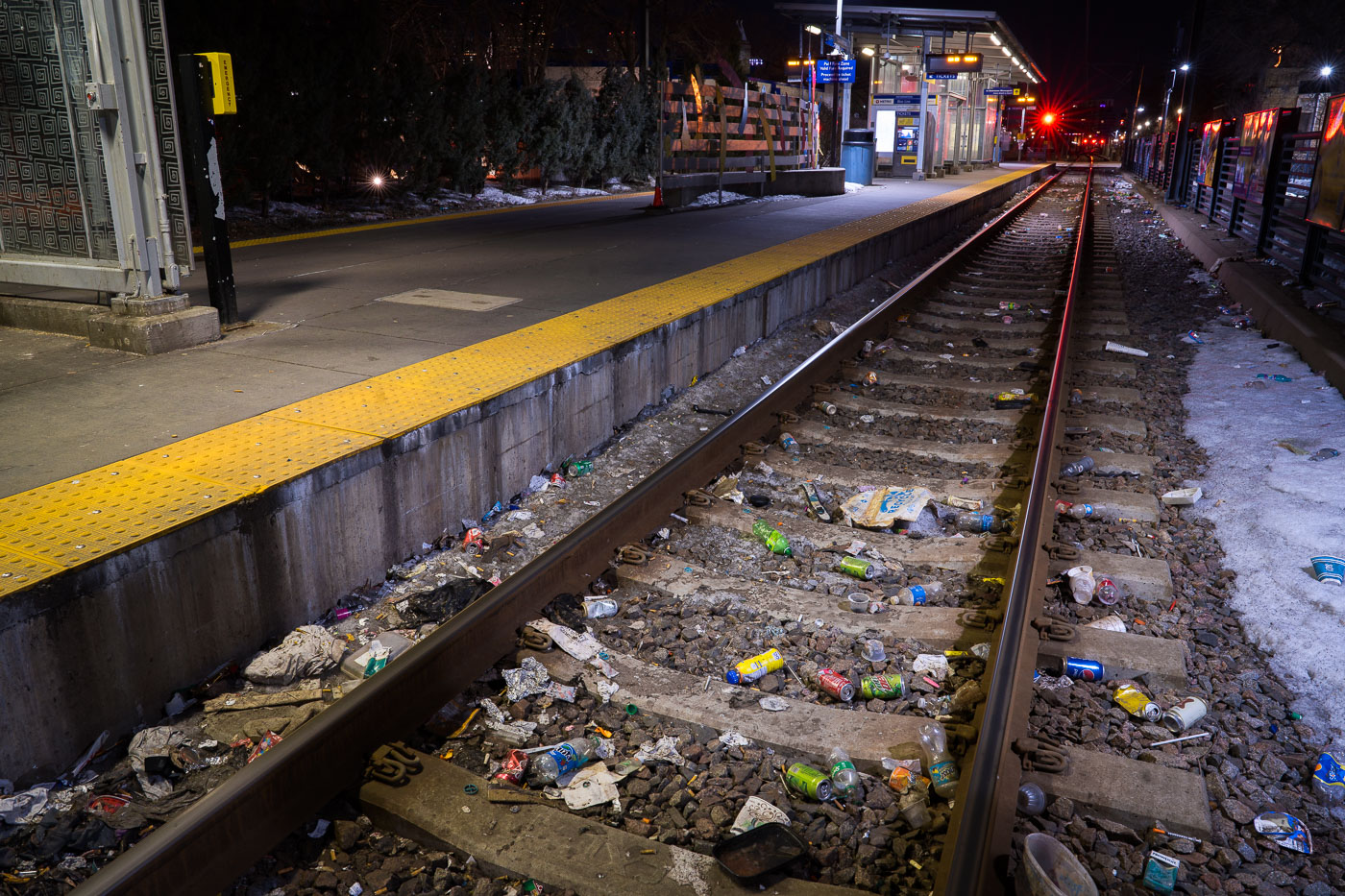
Trash and debris litter railroad tracks at Cedar-Riverside LRT station in Minneapolis at night.
Discarded needles and trash line the tracks at the Cedar-Riverside LRT station.

Dirty Rails at Cedar-Riverside Station at Night
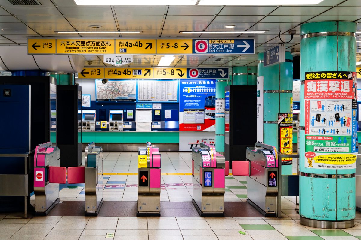
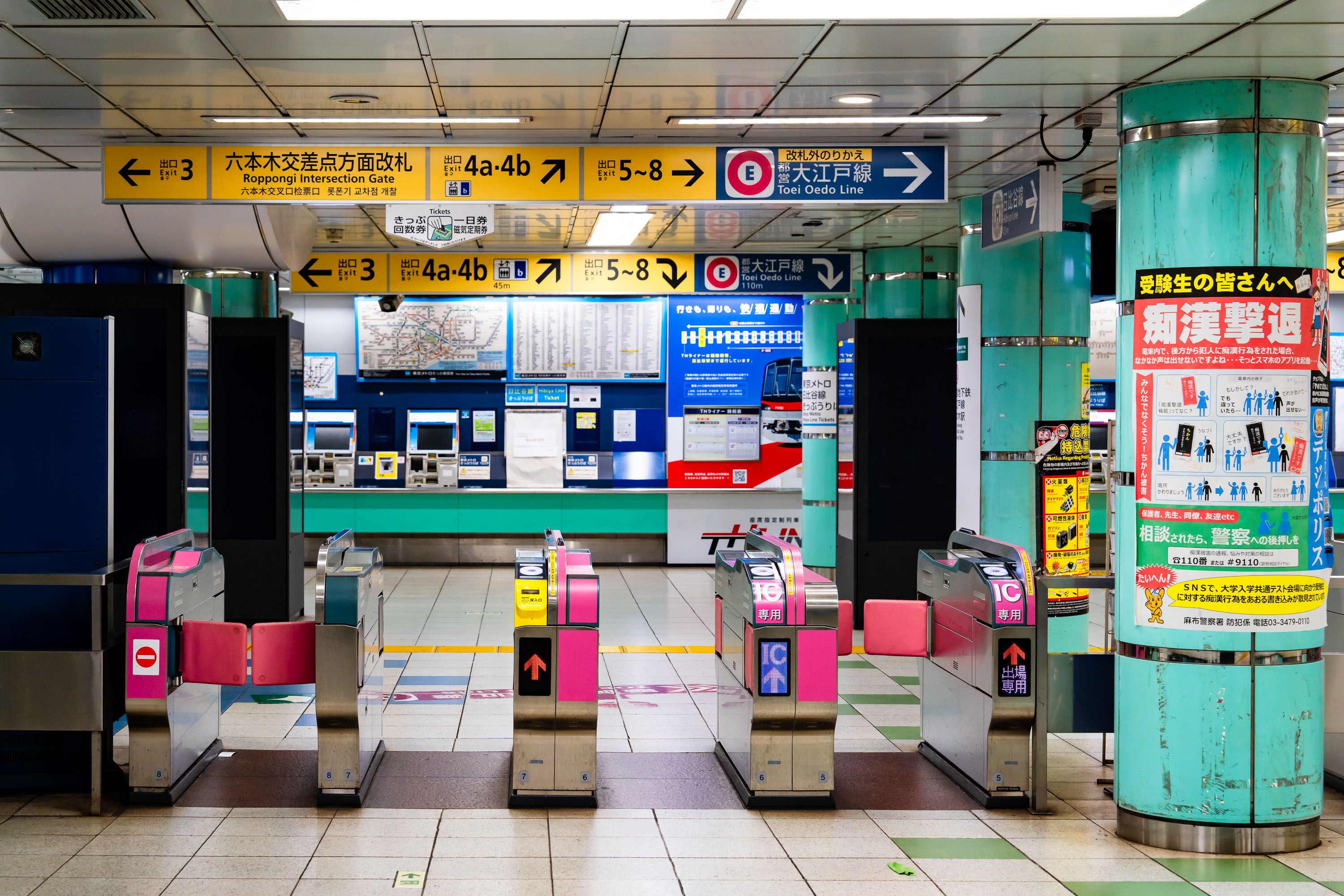
Automatic ticket gates at Roppongi Station on Tokyo Metro's Hibiya and Oedo lines in central Tokyo.
Automatic ticket gates at Roppongi Station on the Tokyo Metro Hibiya and Oedo lines in Minato City, Tokyo. The station serves the Roppongi commercial and nightlife district and connects to the Roppongi Intersection area above ground. Toei's Oedo Line and Tokyo Metro's Hibiya Line both operate through this interchange, making it a key transfer point in central Tokyo's subway network.

Fare Gates Near the Roppongi Intersection Exit
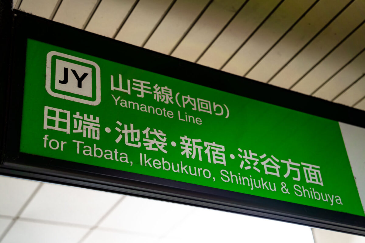
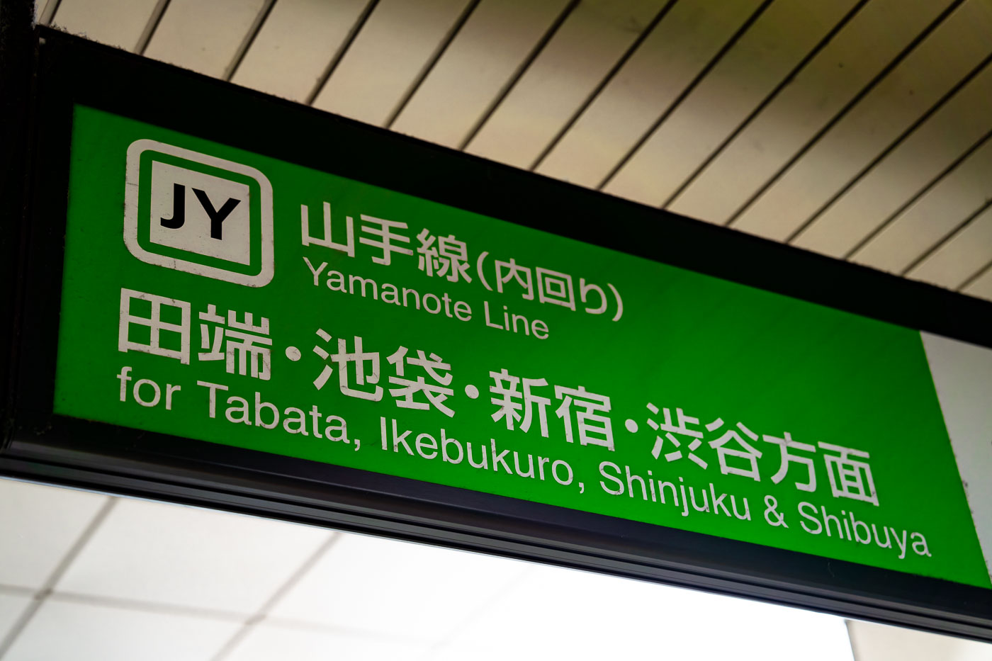
Green JY sign for the Yamanote Line inner loop at Tokyo Station, listing destinations including Tabata, Ikebukuro, Shinjuku, and Shibuya.
The Yamanote Line circles central Tokyo on a 34.5-kilometer loop, connecting 30 stations including Shinjuku, Shibuya, and Ikebukuro. JR East operates the line, which carries roughly 3.5 million riders a day, among the busiest rail services in the world. Trains run in two directions, marked as inner loop (uchimawari) and outer loop (sotomawari), a distinction posted on station signage to help passengers choose the correct platform. The line opened in stages between 1885 and 1925 and now forms the backbone of Tokyo's commuter rail network, linking major business, retail, and entertainment districts along its route.

Yamanote Line Sign for Tabata, Ikebukuro and Shinjuku

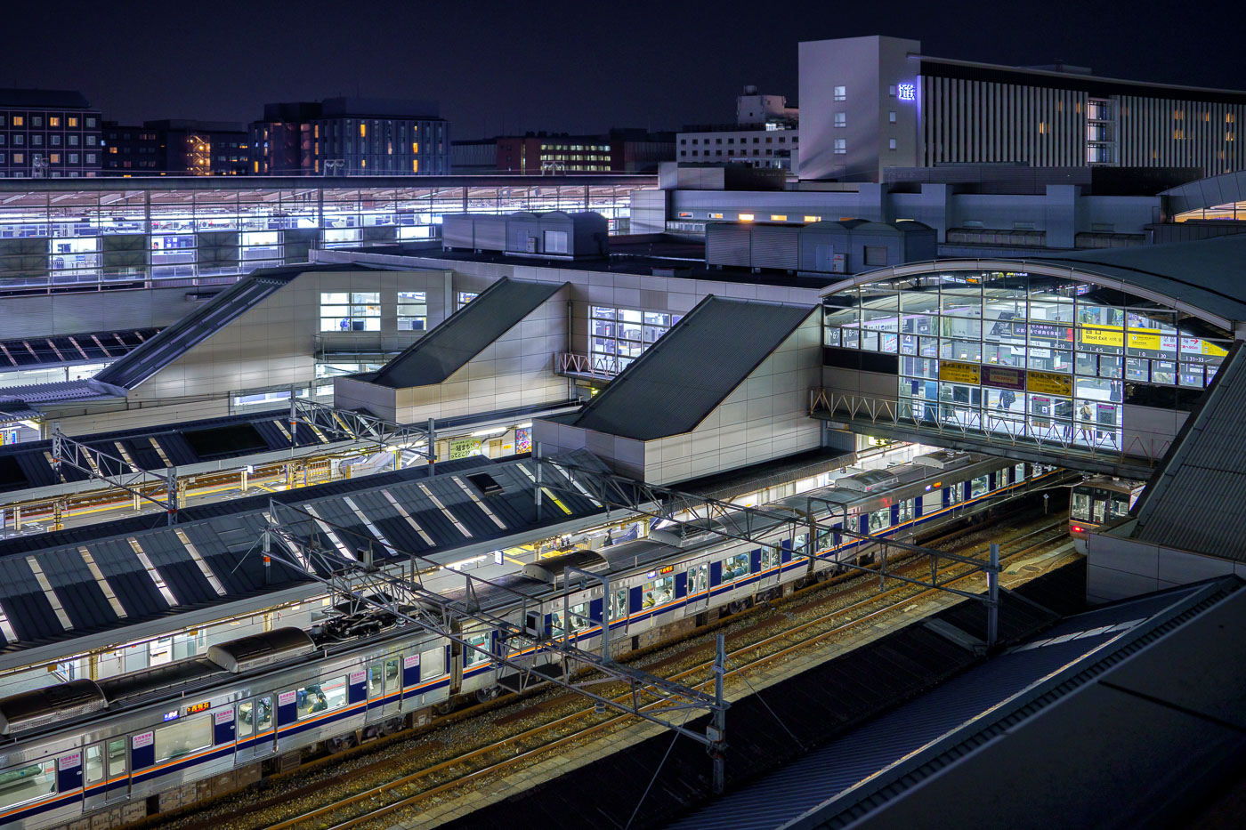
Multiple train platforms and tracks illuminated at night beneath the glass-roofed structure of Kyoto Station.
Kyoto Station, located in central Kyoto, Japan, is one of the country's largest transportation hubs, serving Shinkansen, JR West, JR Central, and several private railway lines. Opened in 1997 to mark the city's 1,200th anniversary, the station was designed by architect Hiroshi Hara and features a vast steel-and-glass structure spanning multiple levels. Beyond its transit function, the complex houses a shopping mall, hotel, theater, and observation areas, making it a central node connecting Kyoto to major cities across Japan.

Train Platforms at Kyoto Station, Kyoto
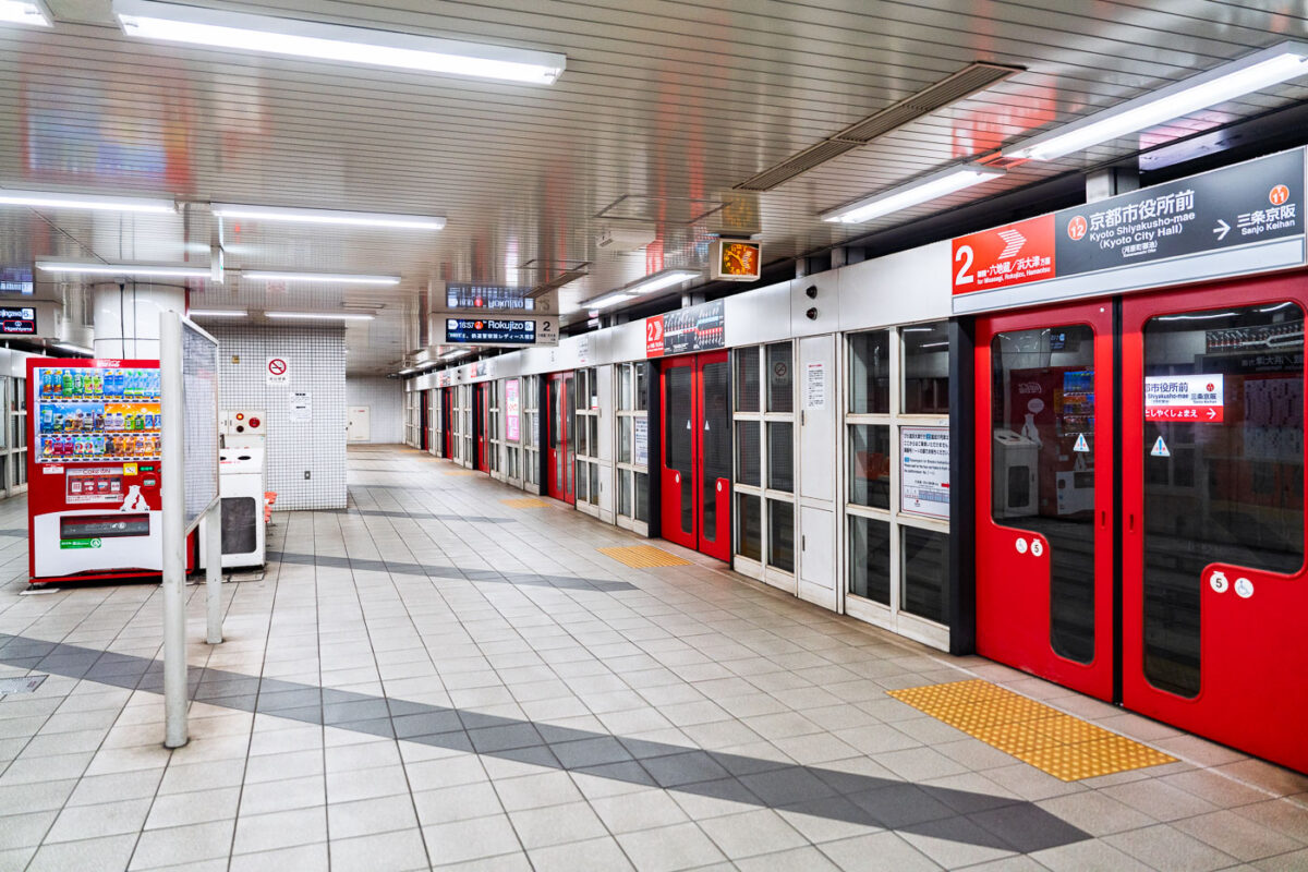
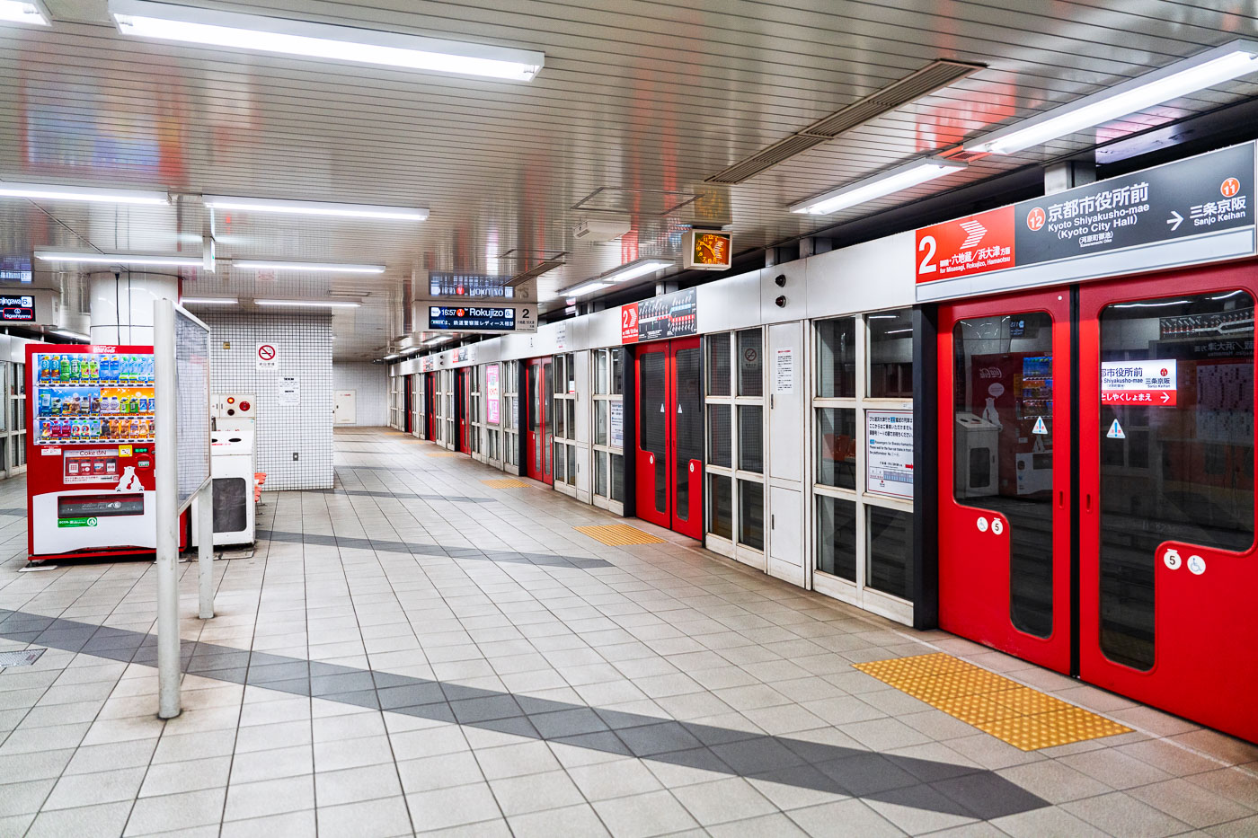
Underground platform at Kyoto Shiyakusho-mae Station on the Tozai Line, with red platform screen doors and bilingual signage.
Kyoto Shiyakusho-mae Station is an underground stop on the Kyoto City Subway Tozai Line, located near the Kyoto City Hall in central Kyoto. The station provides access to city government offices and connects riders traveling east toward Rokujizo and Misasagi and west toward Nijojo-mae and Uzumasa Tenjingawa. The Tozai Line, opened in 1997, runs across the city on an east-west axis and links with the Karasuma Line at Karasuma Oike Station.

Kyoto Shiyakusho-mae Station, Tozai Line
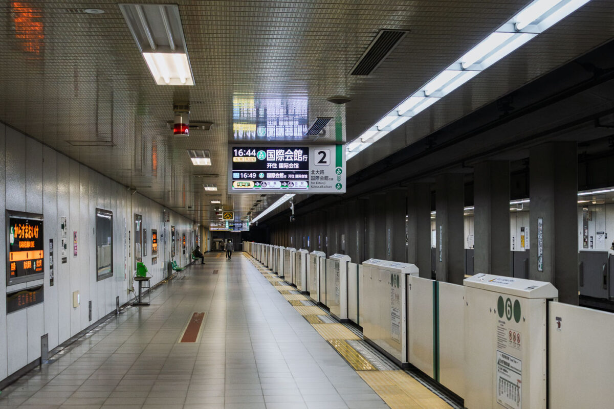
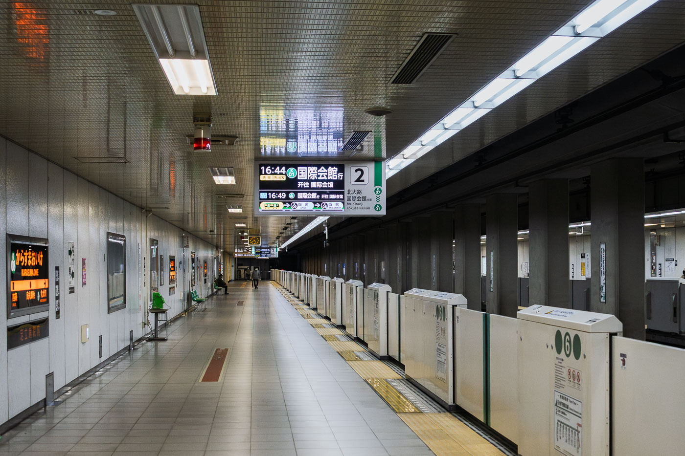
Underground platform at Karasuma Oike Station on the Kyoto Municipal Subway's Tōzai Line.
Karasuma Oike Station is an underground transfer station on the Kyoto Municipal Subway, situated beneath the intersection of Karasuma-dōri and Oike-dōri in central Kyoto. The station serves as the meeting point between the Karasuma Line, which opened in 1981, and the Tōzai Line, added in 1997 to create a cross-city transfer hub. Platform 2 serves Tōzai Line trains bound for Kokusaikaikan, connecting riders to destinations in northern Kyoto. The station's central location makes it one of the busiest interchange points in the city's subway network.

Tōzai Line Platform, Karasuma Oike Station, Kyoto
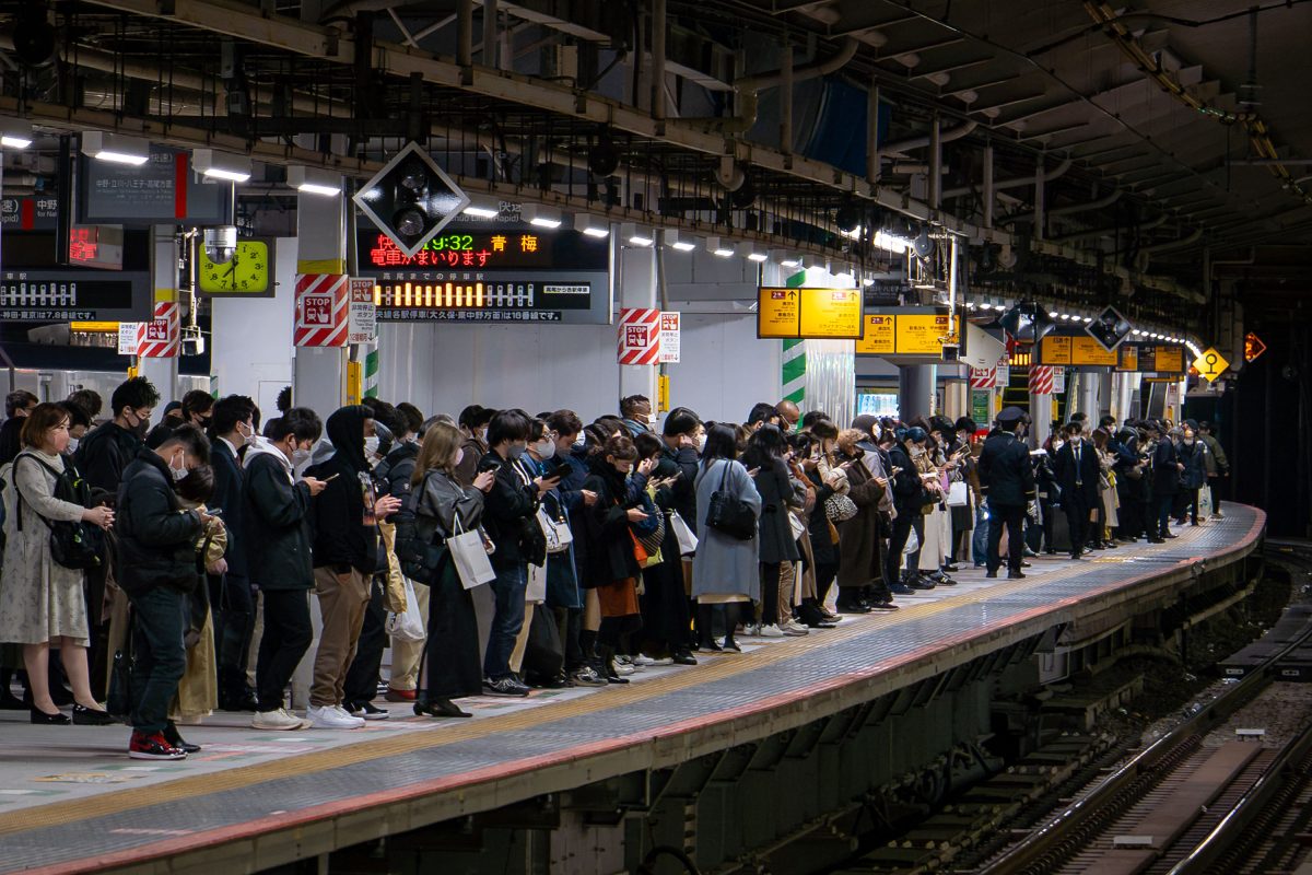
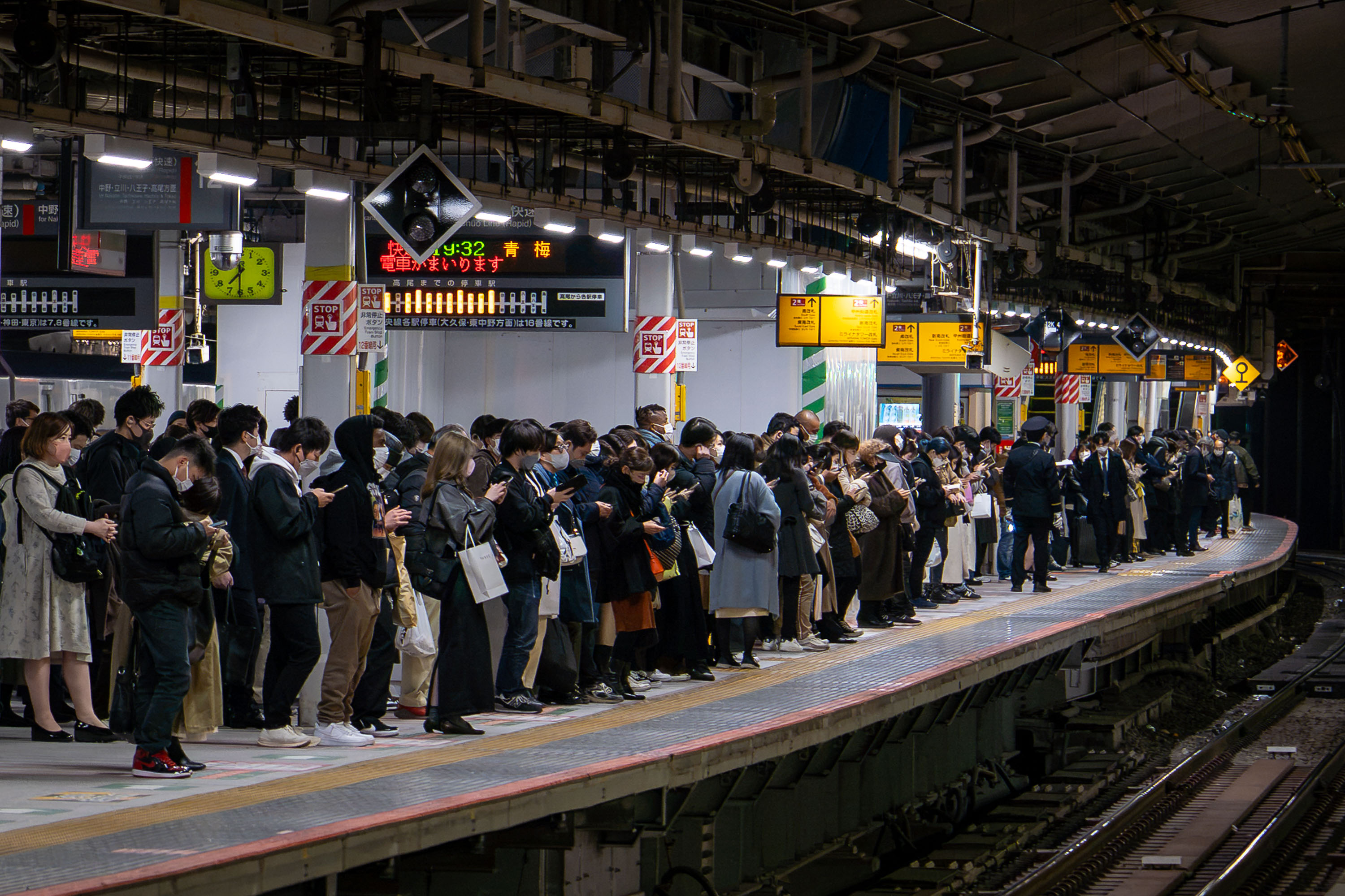
Crowds of commuters queue on a platform at Shinjuku Station in Tokyo during evening rush hour.
Shinjuku Station handles more than three million passengers a day, a figure that has earned it recognition from Guinness World Records as the busiest train station on Earth. The complex is shared by JR East, Keio, and Odakyu, along with the Tokyo Metro and Toei subway lines, linking more than 200 exits to the surrounding district. JR East's Chuo-Sobu and Yamanote lines run through platforms like this one, carrying commuters bound for destinations such as Ome, still visible on the departure boards common throughout the station. The station's platforms and passageways were built up over decades to accommodate ridership that grew alongside Tokyo's postwar expansion, and the crowding during peak evening hours remains a routine part of daily commuting in the city.

Commuters Wait for the Ome-Bound Train at Shinjuku Station
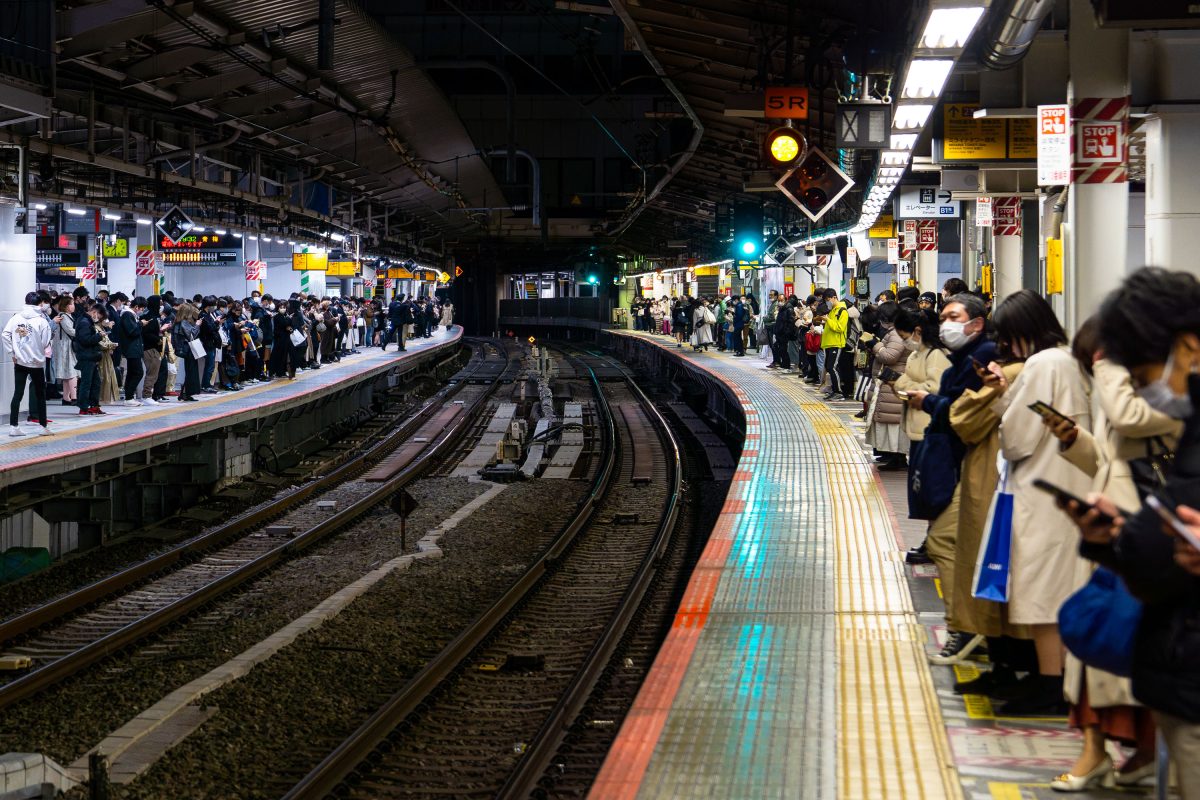
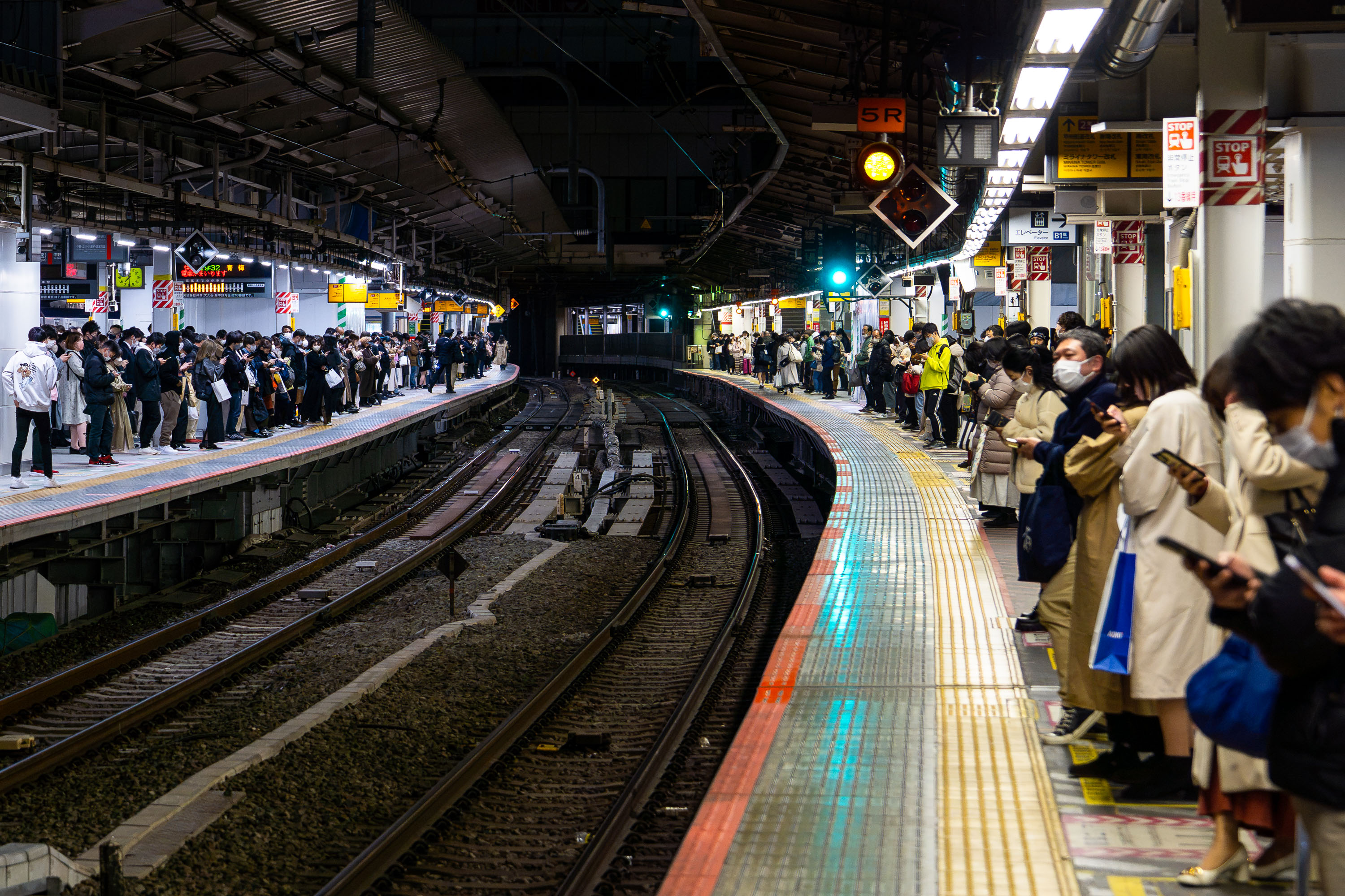
Commuters wait on both platforms at Shinjuku Station during evening rush hour in Tokyo, Japan.
Shinjuku Station handles roughly 3.5 million passengers a day, the busiest transit hub on the planet. The station serves multiple operators, including JR East, Odakyu, Keio, and the Tokyo Metro and Toei subway systems, through a maze of more than 200 exits. Its curved platforms and tight track geometry, a legacy of the station's piecemeal expansion since it opened in 1885, are still in daily use today. Commuters bound for Tokyo's western suburbs pass through here on lines like the Chuo, Sobu, and Odakyu, making the evening rush one of the densest recurring crowd events anywhere in the city.

Commuters Wait on a Curved Platform at Shinjuku Station
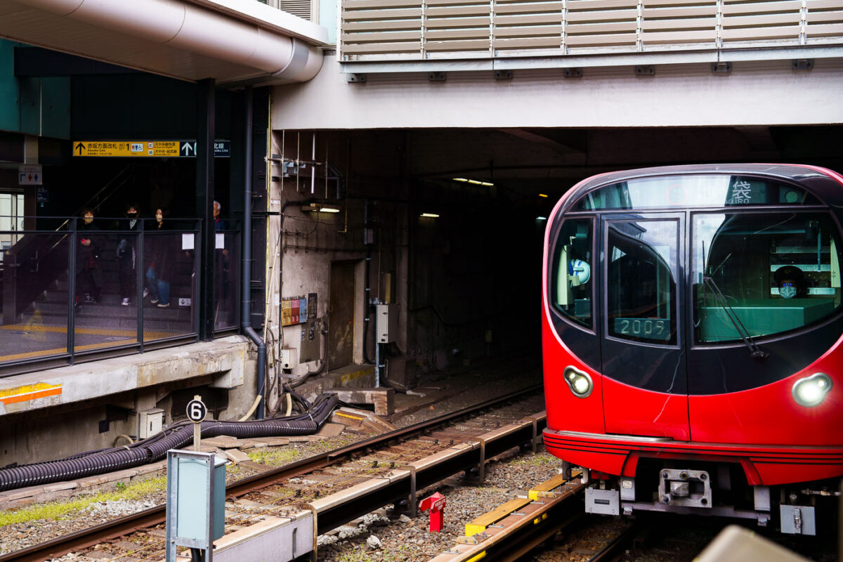
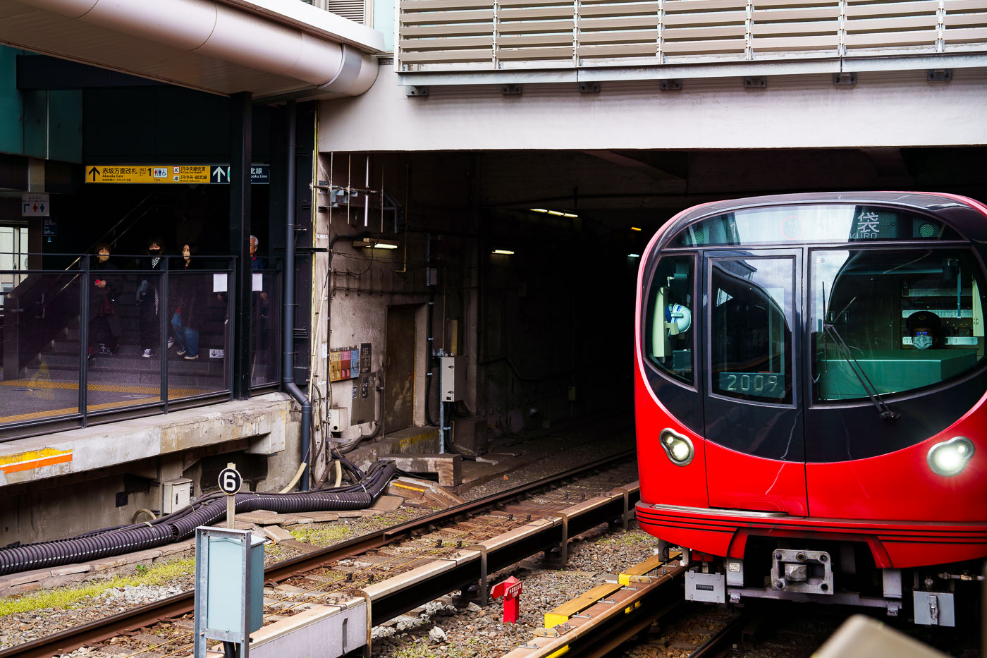
A red Tokyo Metro Marunouchi Line train approaches the platform at Ikebukuro station in Tokyo.
A Tokyo Metro Marunouchi Line train approaches its terminal platforms during a March 2023 visit. The Marunouchi Line, one of Tokyo’s earliest postwar subway routes, opened in 1954 and played a key role in connecting the expanding Yamanote district centers with government and commercial areas in central Tokyo. Ikebukuro, the northern terminus of the line, is one of Tokyo’s busiest rail hubs, jointly served by JR East, the Seibu and Tobu railway networks, and several Metro lines. The station complex was heavily rebuilt throughout the late 20th century to handle increasing commuter volumes, resulting in the multi-level platform and passageway layout still in use today.

Marunouchi Line Train Entering Yotsuya-Sanchome Station
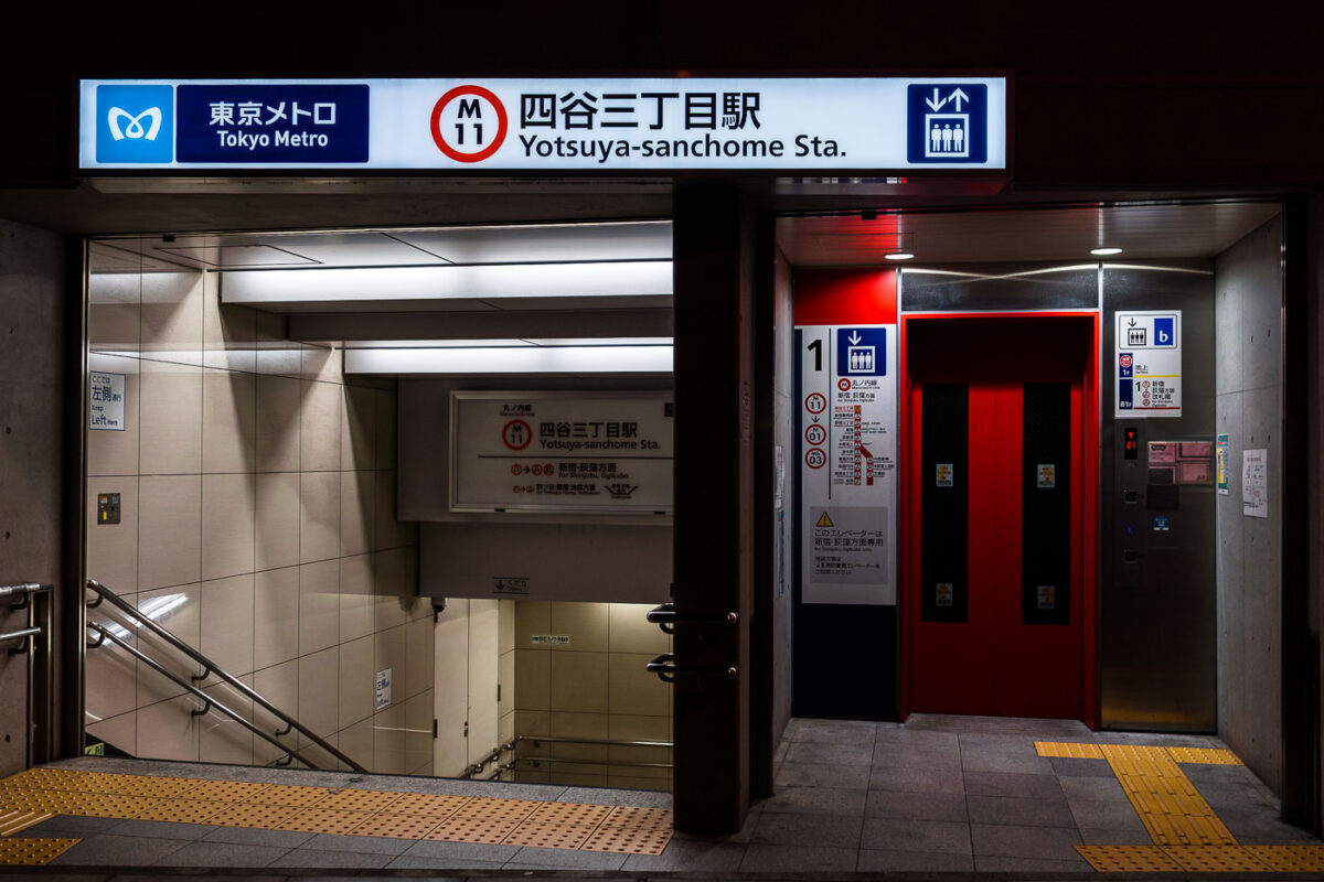
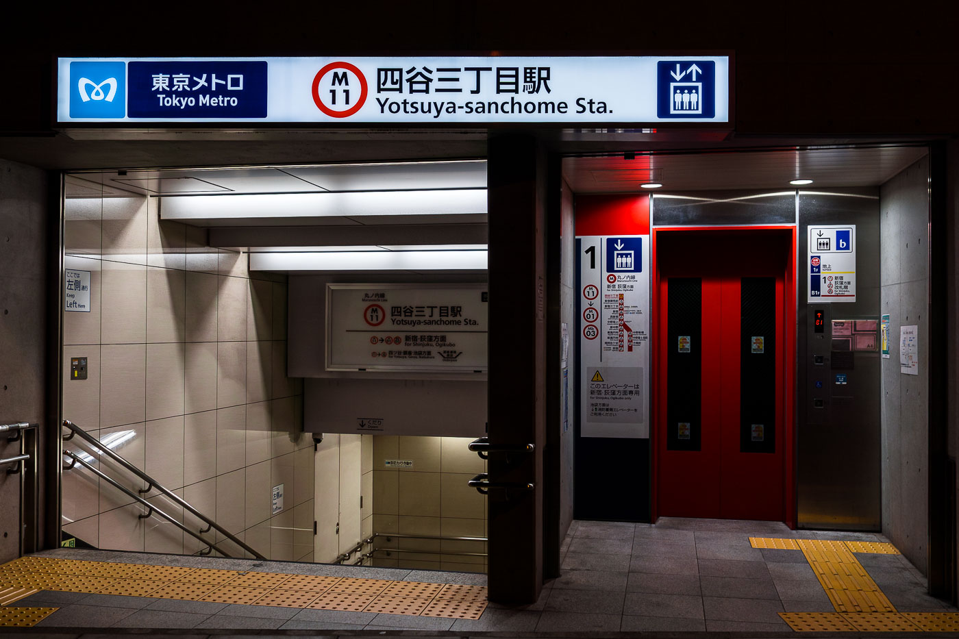
Yotsuya-sanchome Station entrance on Tokyo Metro's Marunouchi Line with elevator access and tactile paving.
Yotsuya-sanchome Station serves Tokyo Metro's Marunouchi Line as stop M11, sitting near the boundary of Shinjuku and Yotsuya. The station opened in 1959, part of the Marunouchi Line's postwar expansion through central Tokyo. Its entrances connect to Route 20 (Shinjuku-dori), one of the city's older east-west arterials linking Shinjuku to the Kojimachi and Yotsuya districts. This particular entrance includes an elevator reserved for passengers heading toward the Shinjuku and Ogikubo directions, supplementing the stairways more commonly used at street level.

Yotsuya-sanchome Station Elevator Entrance, Tokyo Metro Marunouchi Line
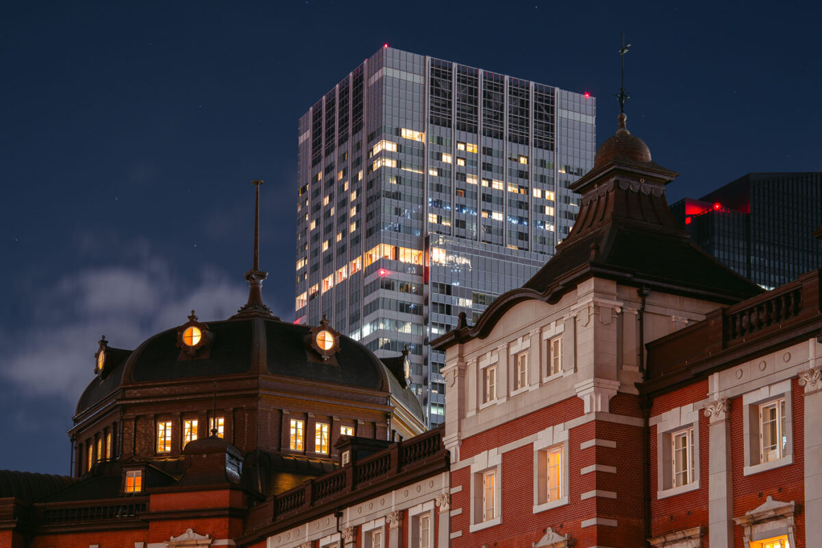
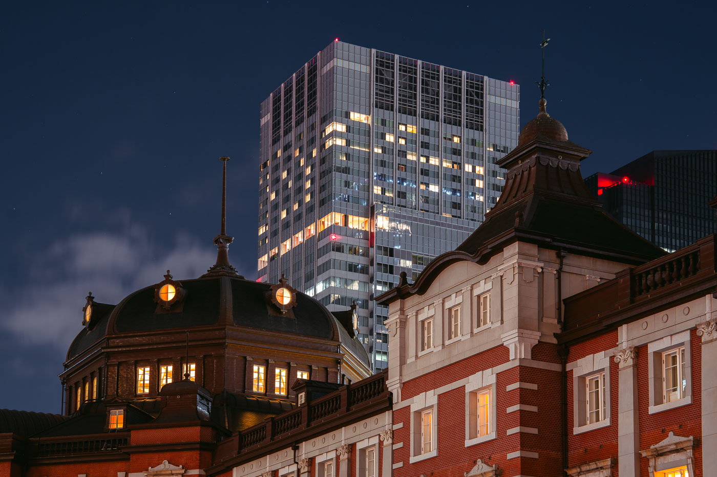
Tokyo Station's historic red-brick Marunouchi facade, completed in 1914, illuminated at night beside a modern office tower.
Tokyo Station's Marunouchi facade dates to the original station building completed in 1914 and designed by architect Tatsuno Kingo, whose domed pavilions anchor each end of the red-brick structure. The station sustained heavy damage in a 1945 air raid and wasn't fully restored to its prewar three-story form until a 2012 renovation. It remains the terminus for the Tokaido Shinkansen and several JR lines, handling hundreds of thousands of passengers daily. The Marunouchi district around it grew into one of Tokyo's principal business centers, and the station now sits framed by high-rise towers built long after Tatsuno's design was completed.

Tokyo Station’s Marunouchi Dome at Night, Tokyo
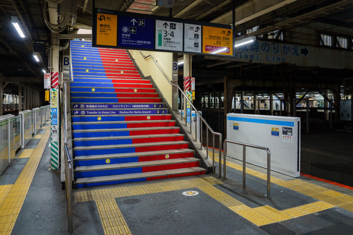
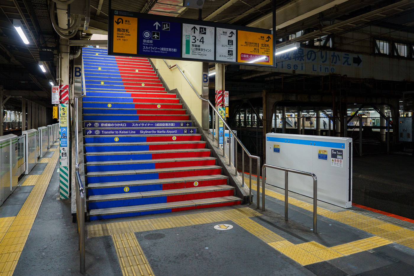
Blue and red striped stairs at Keisei Line transfer point in Nippori Station, Tokyo.
Nippori Station sits on the boundary of Tokyo's Arakawa and Taito wards, where JR East's Yamanote, Keihin-Tohoku, and Joban lines meet the Keisei Electric Railway's Main Line. The station opened in 1905 as a stop on what was then the Nippon Railway, decades before Keisei arrived to build its own platforms alongside it. These stairs mark the transfer point to the Keisei side, where riders catch the Skyliner, a limited express that covers the roughly 43 kilometers to Narita International Airport in about 41 minutes. Nippori is one of only two stations, along with Keisei Ueno, where the Skyliner picks up passengers before its nonstop run to the airport. A separate elevated line, the Nippori-Toneri Liner, opened in 2008 and adds a third rail connection from the same complex, making Nippori one of the busier interchange points on Tokyo's northern rail network.

Blue-and-Red Stairs to the Skyliner at Nippori Station
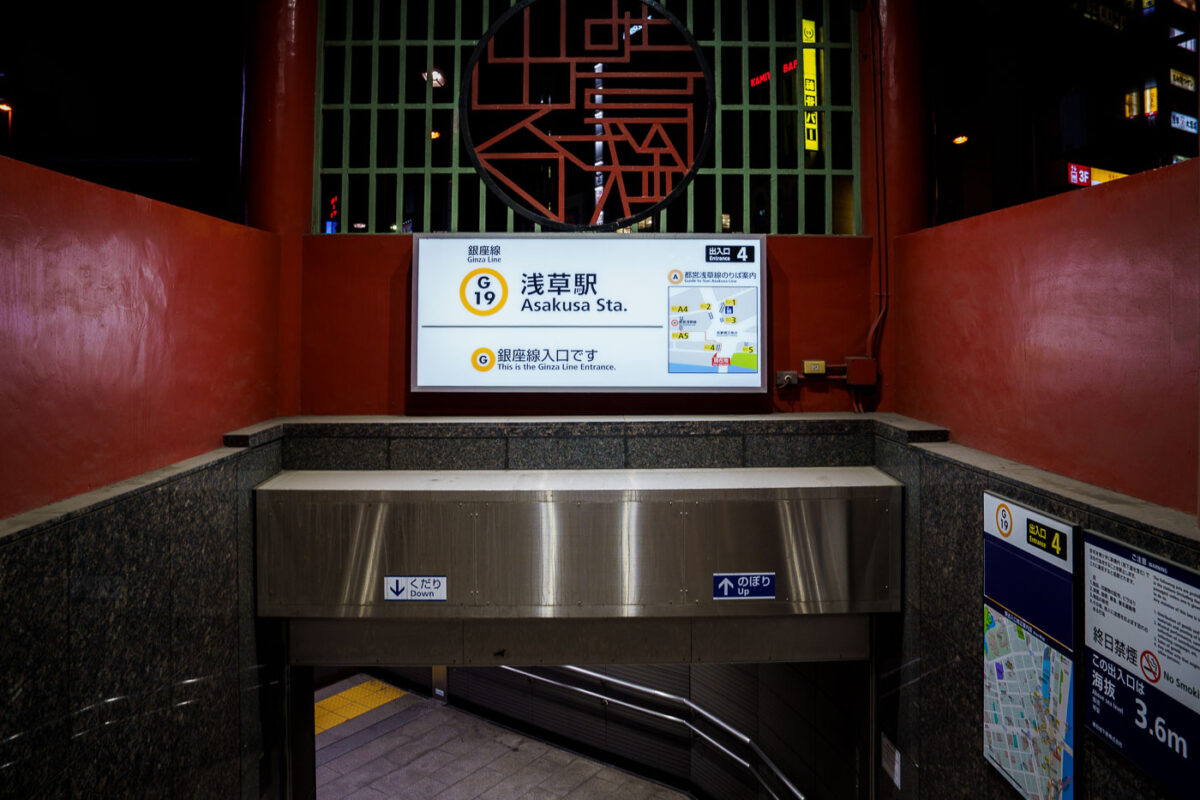
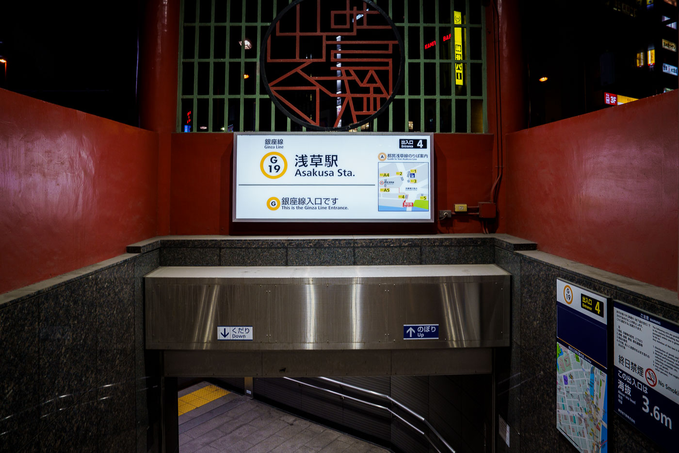
Asakusa Station Ginza Line Entrance 4 in Tokyo, marked with station signage and directional indicators.
Asakusa Station serves as the northern terminus of the Tokyo Metro Ginza Line, Japan's oldest subway line, which opened its first stretch between Ueno and Asakusa in 1927. The station carries the designation G-19 and sits in Taito City, within walking distance of Sensō-ji Temple and the Nakamise shopping street. Entrance 4 leads down to the platform level and is marked as the Ginza Line entrance, distinguishing it from the separate Toei Asakusa Line and Tobu Skytree Line stations that share the Asakusa name nearby. The Ginza Line itself runs the length of central Tokyo, linking Asakusa to Shibuya via Ueno, Ginza, and Shimbashi.

Ginza Line Entrance 4 at Asakusa Station
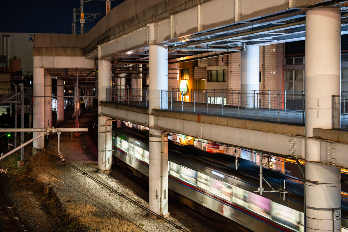
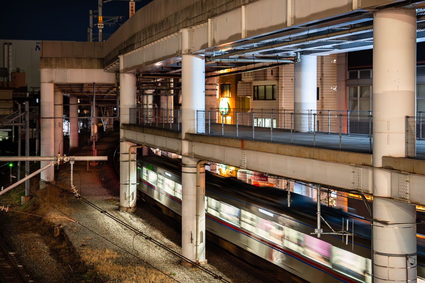
A commuter train passes beneath elevated concrete viaducts at Nippori Station in Tokyo.
Nippori Station sits on Tokyo's Yamanote loop, one of the busiest rail corridors in the world, and also serves as a stop for the Keisei Main Line and the Joban Line. Keisei trains departing here run the Skyliner service to Narita International Airport, making Nippori one of two direct boarding points for that route along with Ueno. The station opened in 1905 as part of the expanding rail network on Tokyo's east side, and its elevated platforms now sit beneath a tangle of viaducts carrying both rail lines and roadways above the tracks. Nearby Nippori is also known as the gateway to Yanaka, one of the few Tokyo districts that survived World War II bombing largely intact.

Night Train Blurs Past Concrete Pillars at Nippori Station
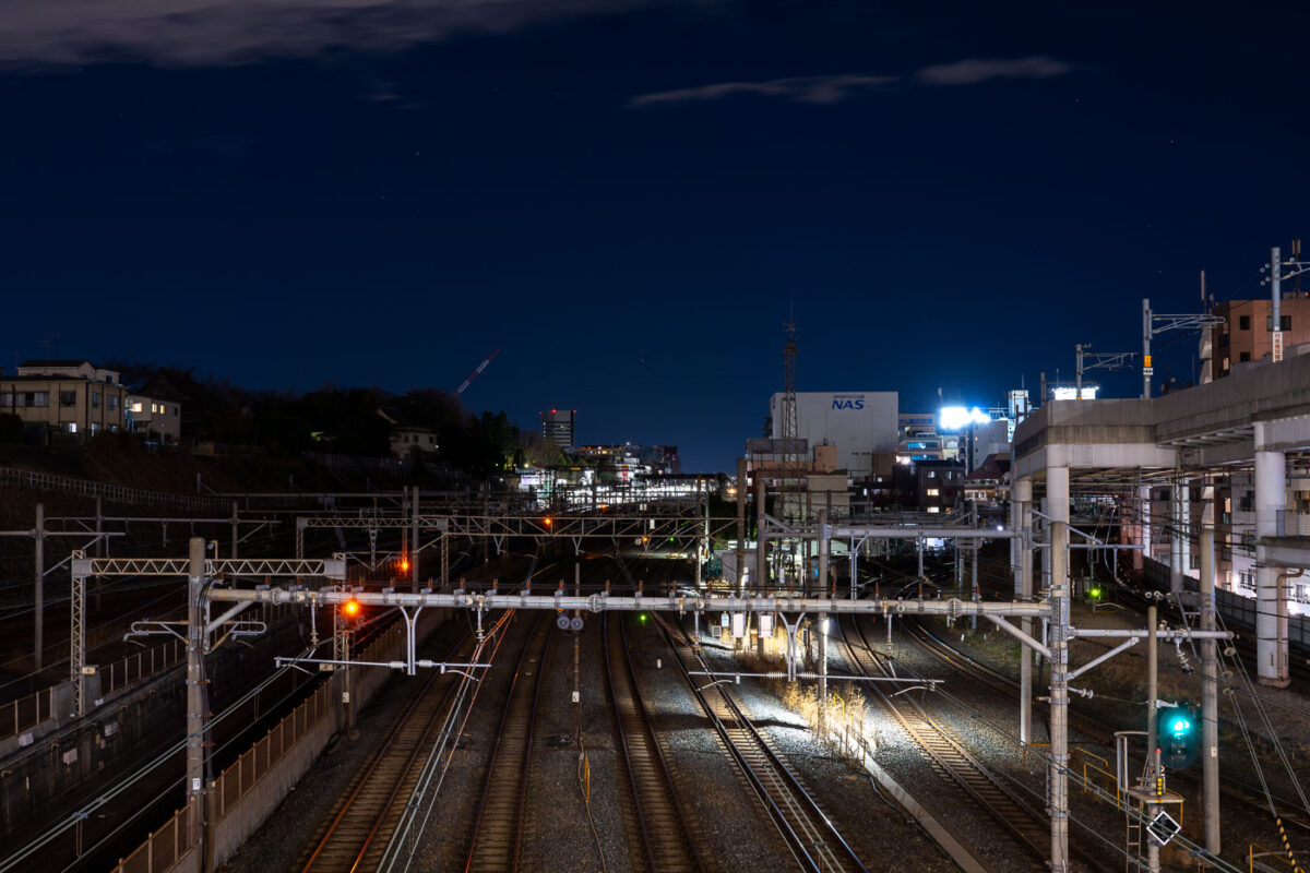
Overhead signal gantries span multiple railway tracks at Nippori Station in Tokyo during twilight hours.
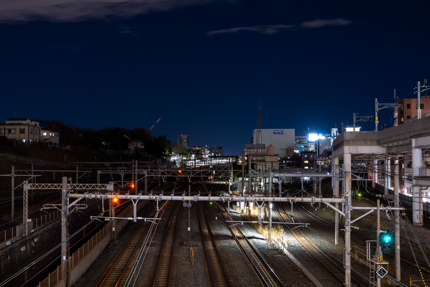
Nippori Station sits in Tokyo's Arakawa and Taito wards, where the Yamanote, Keihin-Tohoku, and Joban lines share track with the Keisei Main Line toward Narita Airport. JR East and Keisei Electric Railway both operate platforms here, making it one of the few stations in the city where a limousine-style airport train and a local loop line depart from adjacent tracks. The station opened in 1905 as a stop on the Yamanote Line's predecessor route and later expanded as Keisei added its own terminal nearby in the 1930s. Overhead gantries carry the signal and catenary wiring that keep the multiple lines separated as they fan out from the platforms toward the rail yards to the north.

Night View of Rail Yard Tracks Near Nippori Station, Tokyo
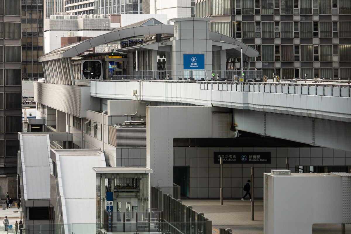
Yurikamome automated train terminal at Shimbashi Station in Tokyo, an elevated guideway station with white modernist architecture.
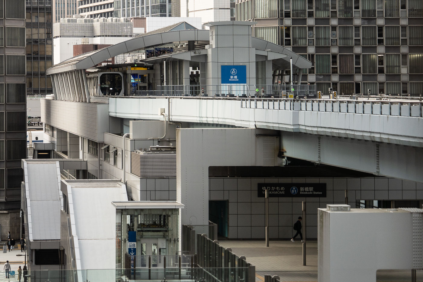
Shimbashi Station's Yurikamome terminal marks the starting point of the automated line that opened in 1995 to link central Tokyo with the reclaimed land of Odaiba. The elevated guideway runs on rubber tires rather than steel rails, a design chosen to navigate the tight curves and steep grades of the waterfront route. Trains operate without drivers, guided by automatic train control from a operations center rather than onboard staff. The line covers about 14.7 kilometers between Shimbashi and Toyosu, stopping at 16 stations along the way, including Odaiba Kaihinkoen and the artificial island of Daiba.

Elevated Guideway at Shimbashi Station’s Yurikamome Terminal
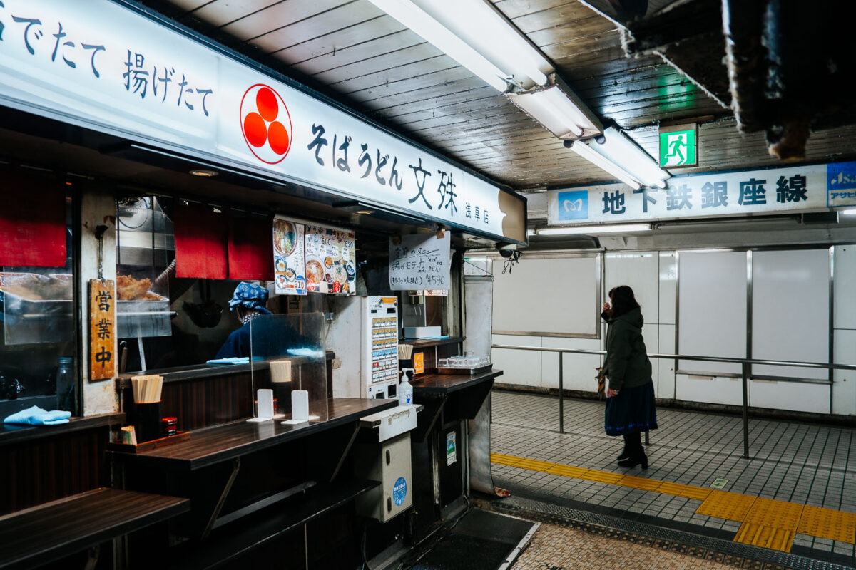
Soba vendor serves customers at a counter in Asakusa Underground Street, a Tokyo shopping arcade beneath the Ginza Line station.
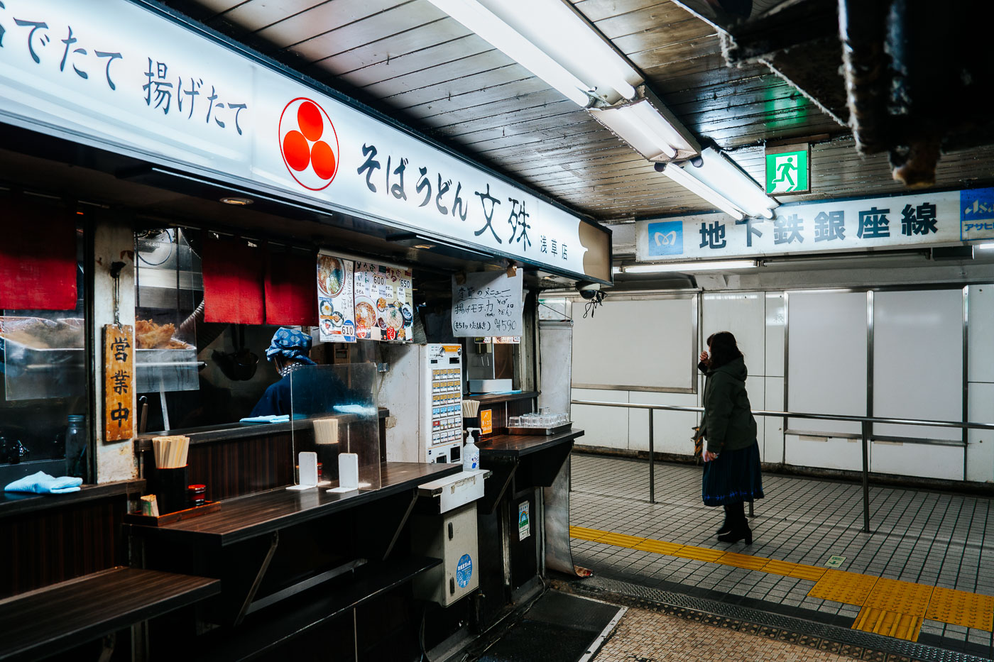
Asakusa Underground Street runs beneath Kaminarimon-dori near Asakusa Station, connecting to the Tokyo Metro Ginza Line. Built in 1955 atop a former air-raid shelter, it's often cited as the oldest surviving underground shopping arcade in Japan. The narrow passage holds a mix of small food stalls and shops, including this counter serving soba and udon, alongside tailors, barbers, and secondhand clothing dealers that have operated there for decades. The Ginza Line, which opened in 1927 as Japan's first subway line, still runs directly past the arcade's storefronts.

Soba and Udon Counter, Asakusa Underground Street, Tokyo
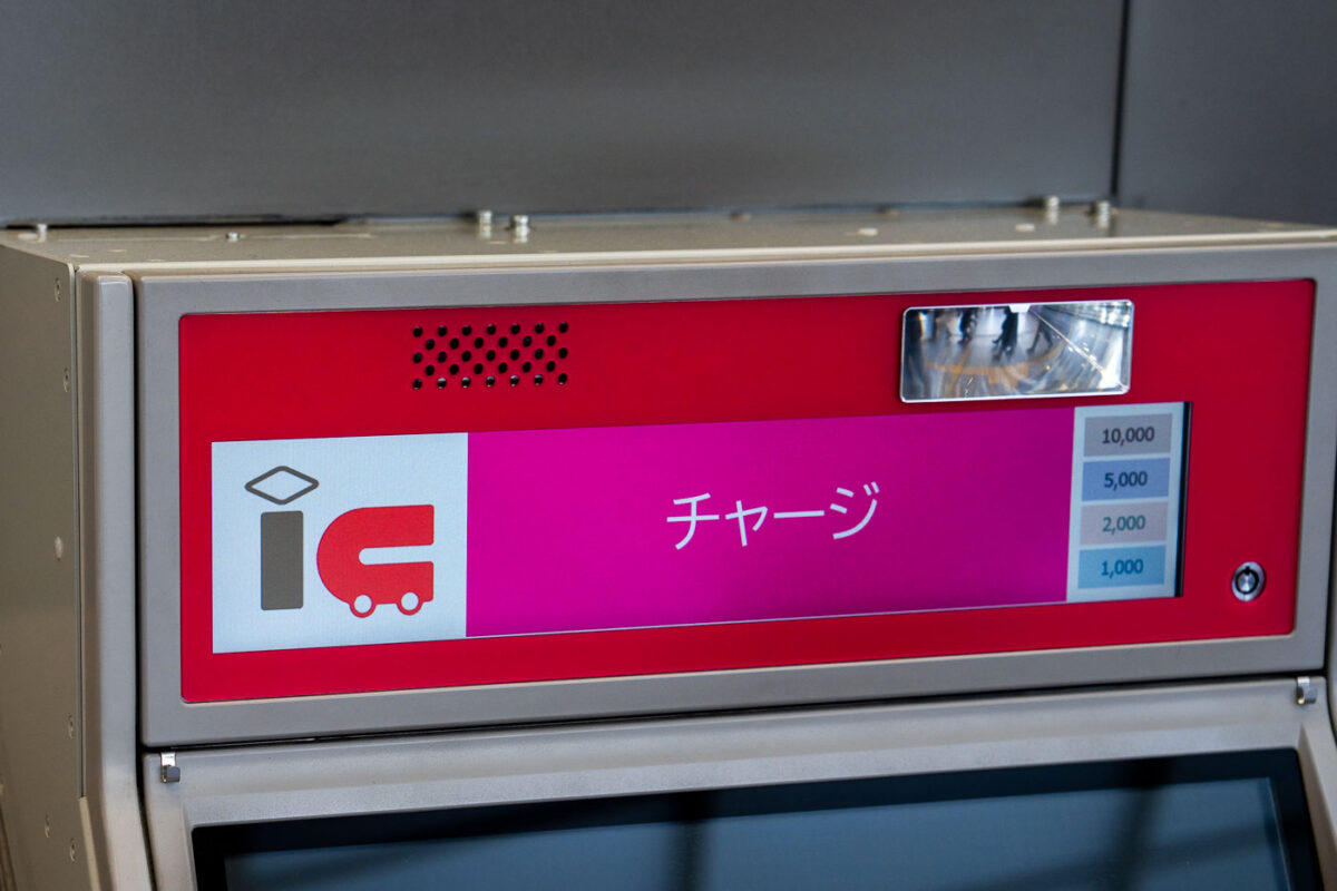
IC card recharge machine in Japan displaying charge amounts in yen for transit cards.
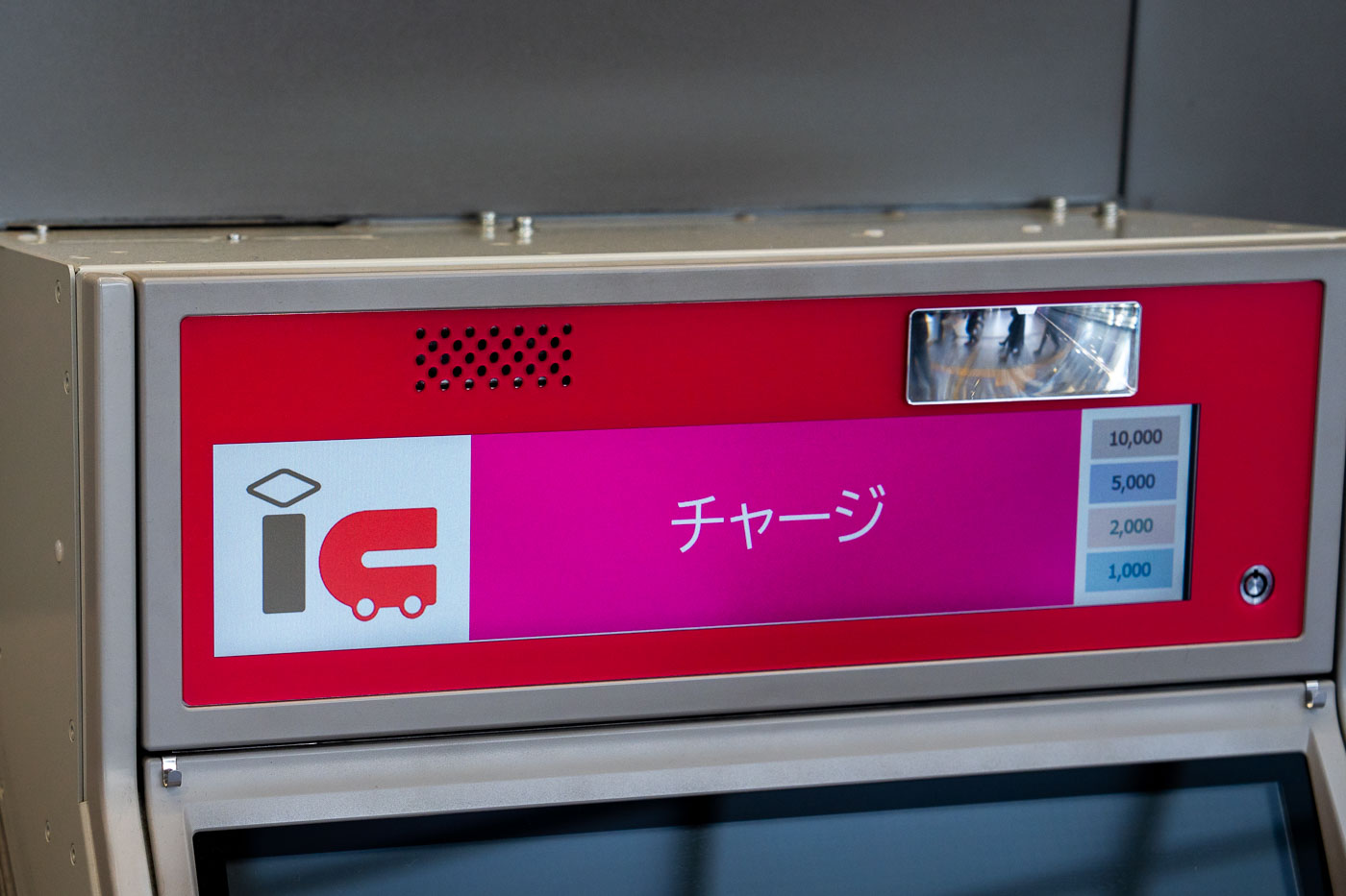
Suica and Pasmo are the two major IC cards used on trains and subways across the Tokyo region, and both can be topped up in cash at machines like this one inside Shinjuku Station. The chāji function lets riders add preset amounts — 1,000, 2,000, 5,000, or 10,000 yen — directly onto the card's stored balance. Suica was introduced by JR East in 2001, while Pasmo followed in 2007 for use on the capital's subway and private rail lines; the two systems have been interoperable since Pasmo's launch. Shinjuku Station, the machine's likely location, handles more daily passengers than any other station in the world, a distinction recognized by Guinness World Records.

IC Card Charging Machine, Shinjuku Station, Tokyo
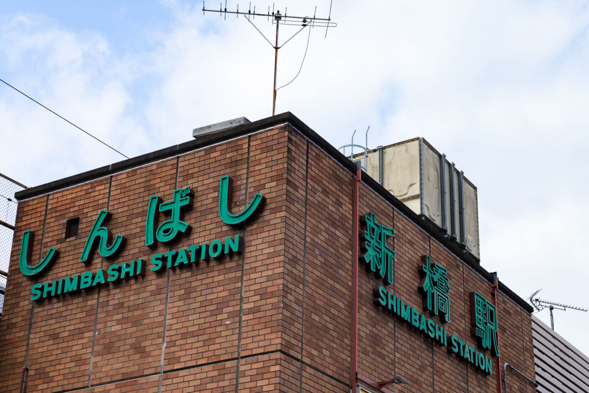
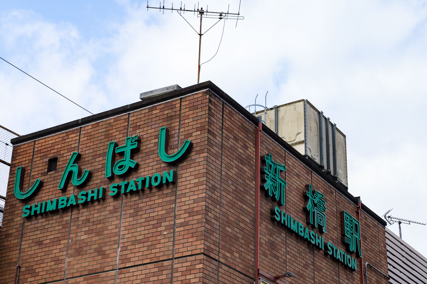
Shimbashi Station's brick facade displays green bilingual signage in Tokyo.
Shimbashi Station opened in 1872 as the terminus of Japan's first railway line, connecting Tokyo to Yokohama. The original station building stood near the current site until it was rebuilt following the 1923 Great Kanto Earthquake and further changes after World War II. Today's Shimbashi Station serves as a major interchange for JR East's Yamanote, Keihin-Tohoku, and Tokaido lines, along with the Tokyo Metro Ginza Line and the Yurikamome automated transit line to Odaiba. The station sits in Tokyo's Minato ward, an area long associated with business offices and, in recent decades, izakaya-lined streets popular with salarymen after work hours.

Shimbashi Station Signage, Tokyo

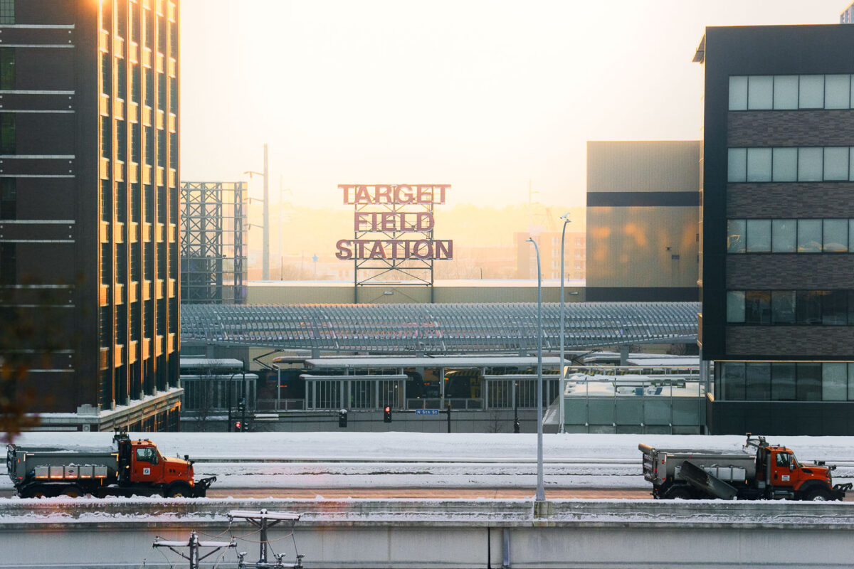
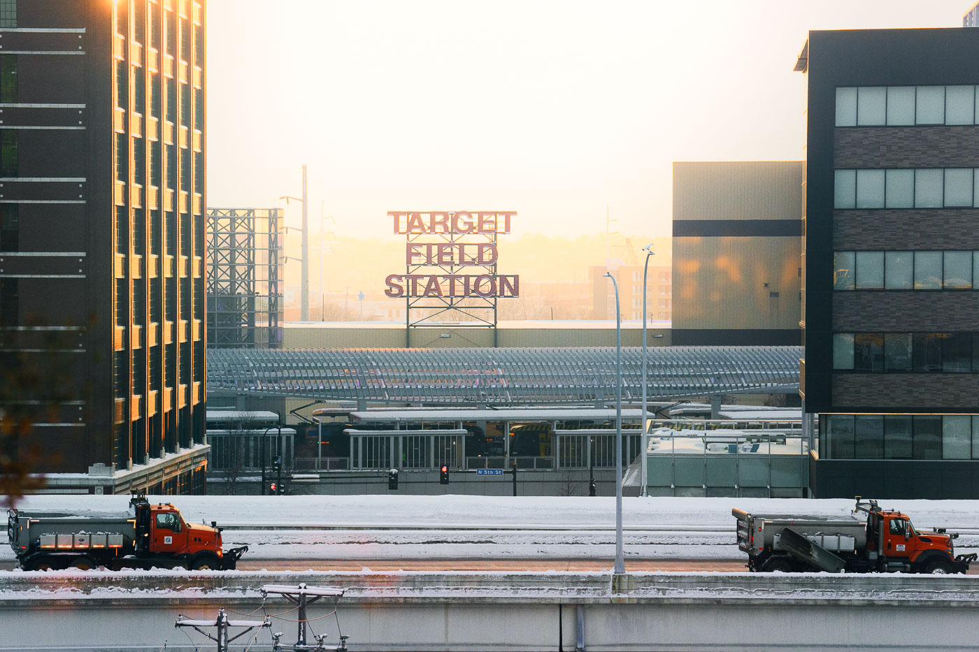
Snow plows on the interstate in Minneapolis
Target Field Station in Minneapolis during a winter sunrise, viewed across the railyard as snowplow trucks clear nearby roadways. Opened in 2014, the station serves as the western terminus for METRO Blue and Green Line light-rail service and functions as a multimodal hub for events at Target Field and the surrounding North Loop district.

Target Field Station and Snow Plows

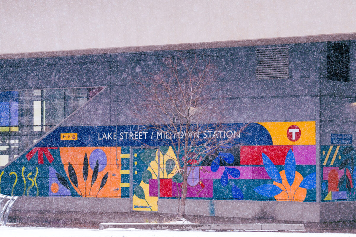
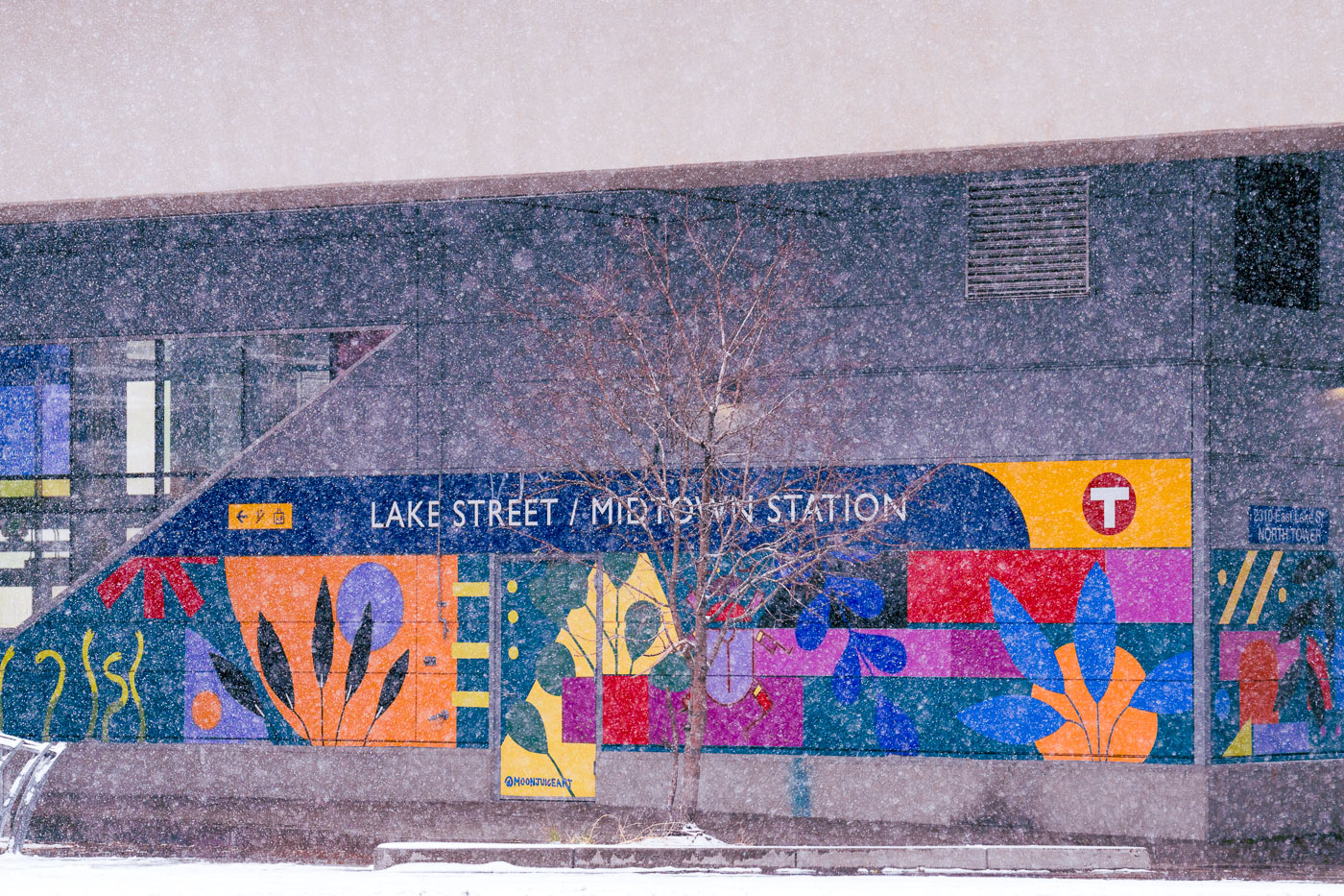
Snow falling with mural at Metro Transit train station
The Lake Street/Midtown Station in South Minneapolis is adorned with a vibrant mural, seen here during a November snowfall. This station serves as a key transit hub for the city, connecting multiple bus routes and the Blue Line light rail.

Lake Street/Midtown Station Mural in Minneapolis Snowfall
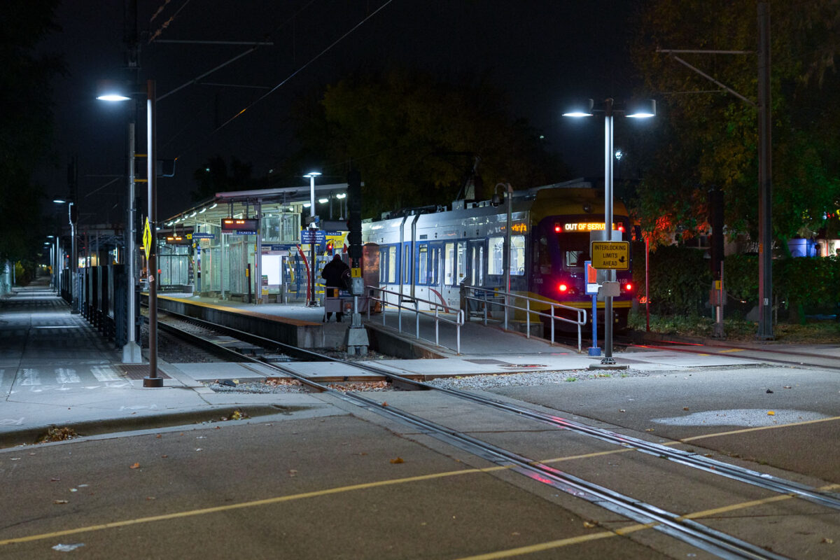
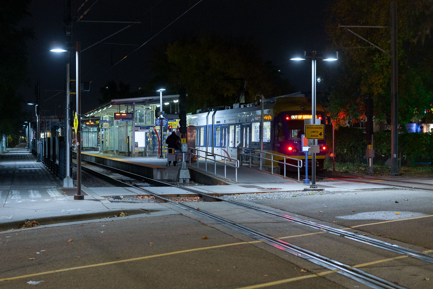
Cedar Riverside Train Station at night in Minneapolis
Cedar-Riverside Station, a key transit hub in South Minneapolis, serves as a stop on the Metro Transit Green Line. Opened in 2014 as part of the Central Corridor project, the station connects residents and visitors to downtown Minneapolis and St. Paul. The station's design incorporates modern elements while serving the daily needs of commuters and travelers.

Cedar Riverside Station, Minneapolis: Light Rail at Night
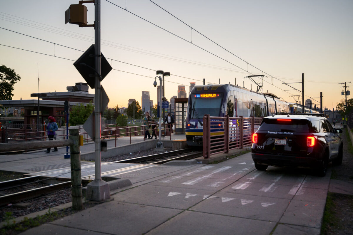
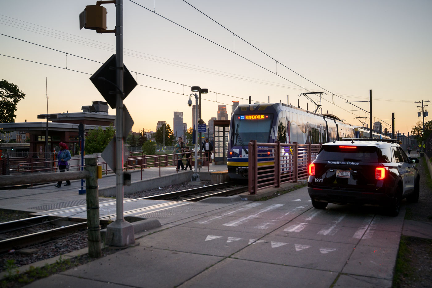
Franklin Avenue light rail station in South Minneapolis with a squad car
The Franklin Avenue Light Rail station in Minneapolis is a key stop on the Metro Transit Green Line. Opened in 2014 as part of the Central Corridor project, the station serves as a vital link connecting residents and visitors to various parts of the city.

Franklin Ave Light Rail Station with Metro Transit Squad Car
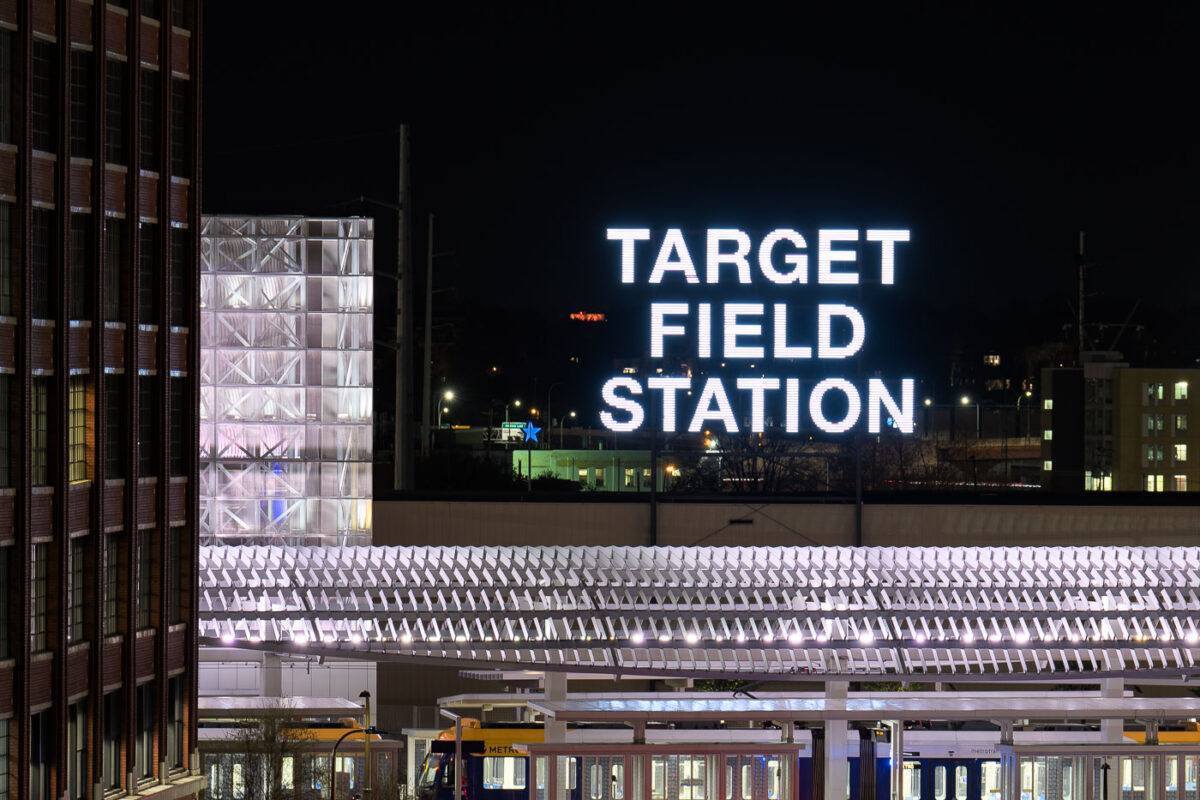
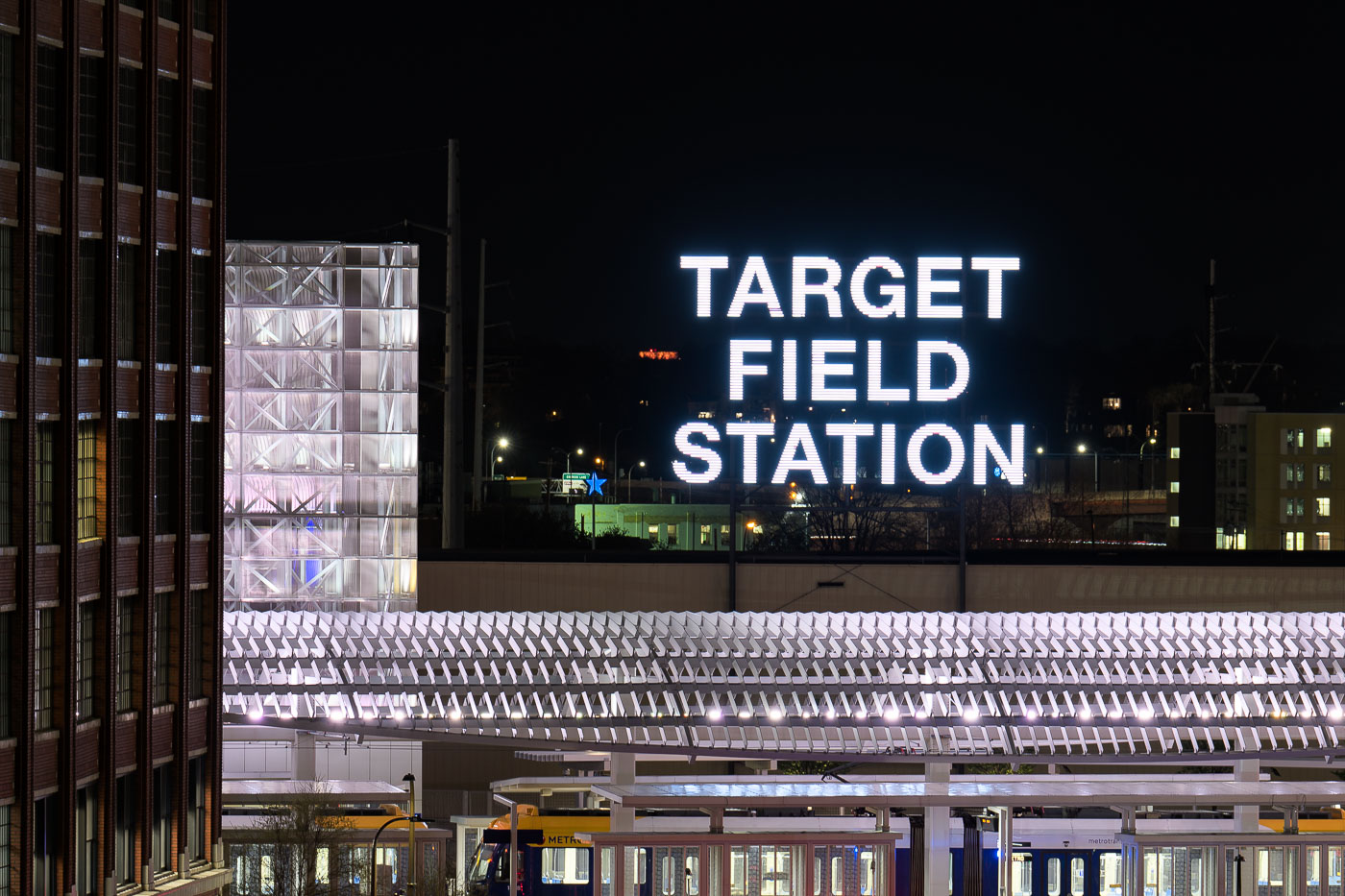
Target Field Station's illuminated sign above the platform canopy in downtown Minneapolis at night.
Target Field Station in Minneapolis, Minnesota, is a transit hub next to Target Field that connects the METRO Blue and Green light rail lines with Northstar Commuter Rail and bus service. Opened in 2009 as part of the ballpark and transit redevelopment in the North Loop area, the station was built to handle both daily riders and large game-day crowds for Minnesota Twins home games.

Target Field Station Sign Lit Up at Night
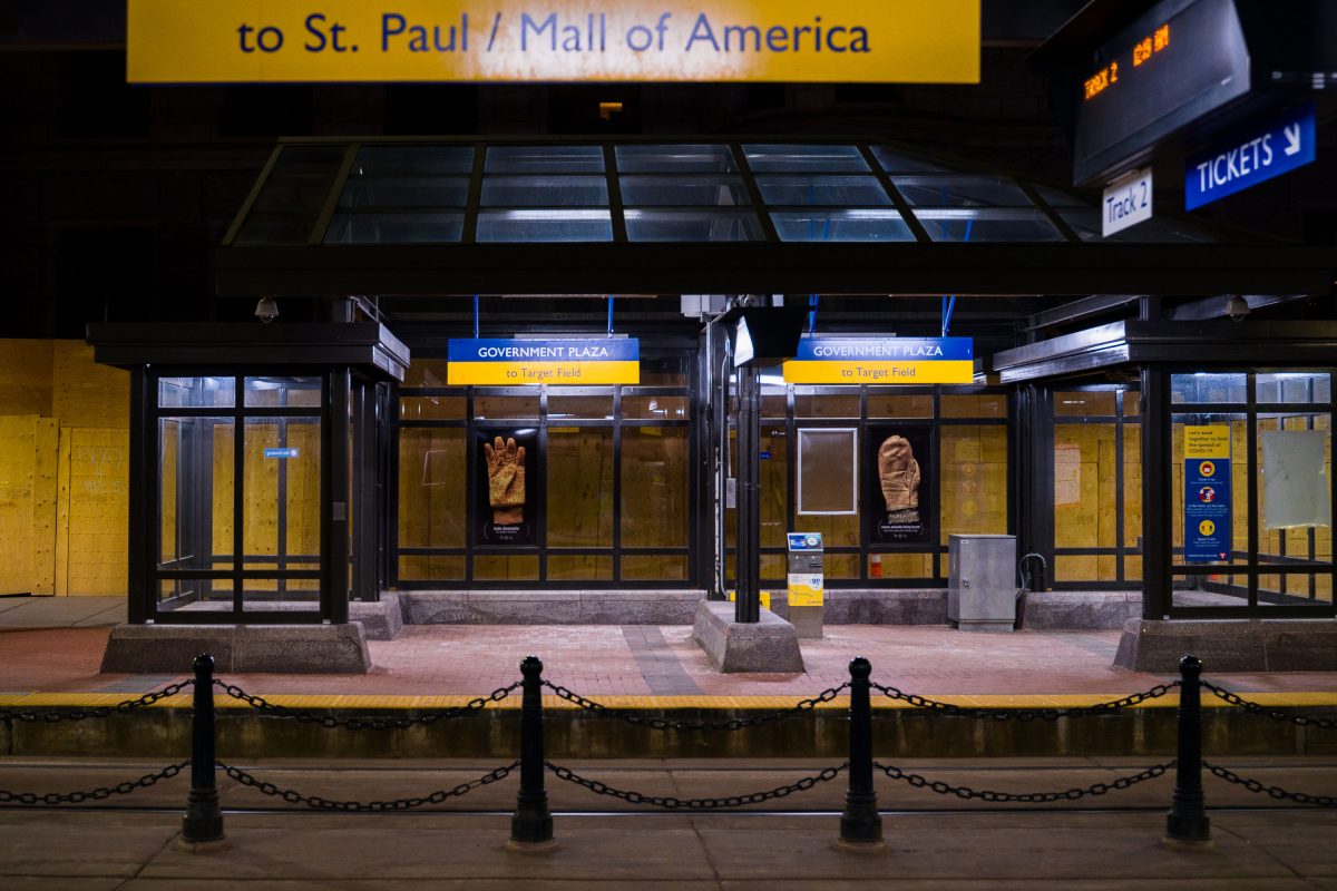
Government Plaza light rail station entrance in downtown Minneapolis with boarded-up glass panels and protective chain barriers.
Government Plaza Station serves the Blue and Green Line light rail routes in downtown Minneapolis, operated by Metro Transit. Located near the Hennepin County Government Center, the stop provides connections toward St. Paul, the Mall of America, and Target Field. The entrance shown here was boarded up along its glass panels during a period of civil unrest in the city in 2021.

Boarded-Up Entrance at Government Plaza Station at Night
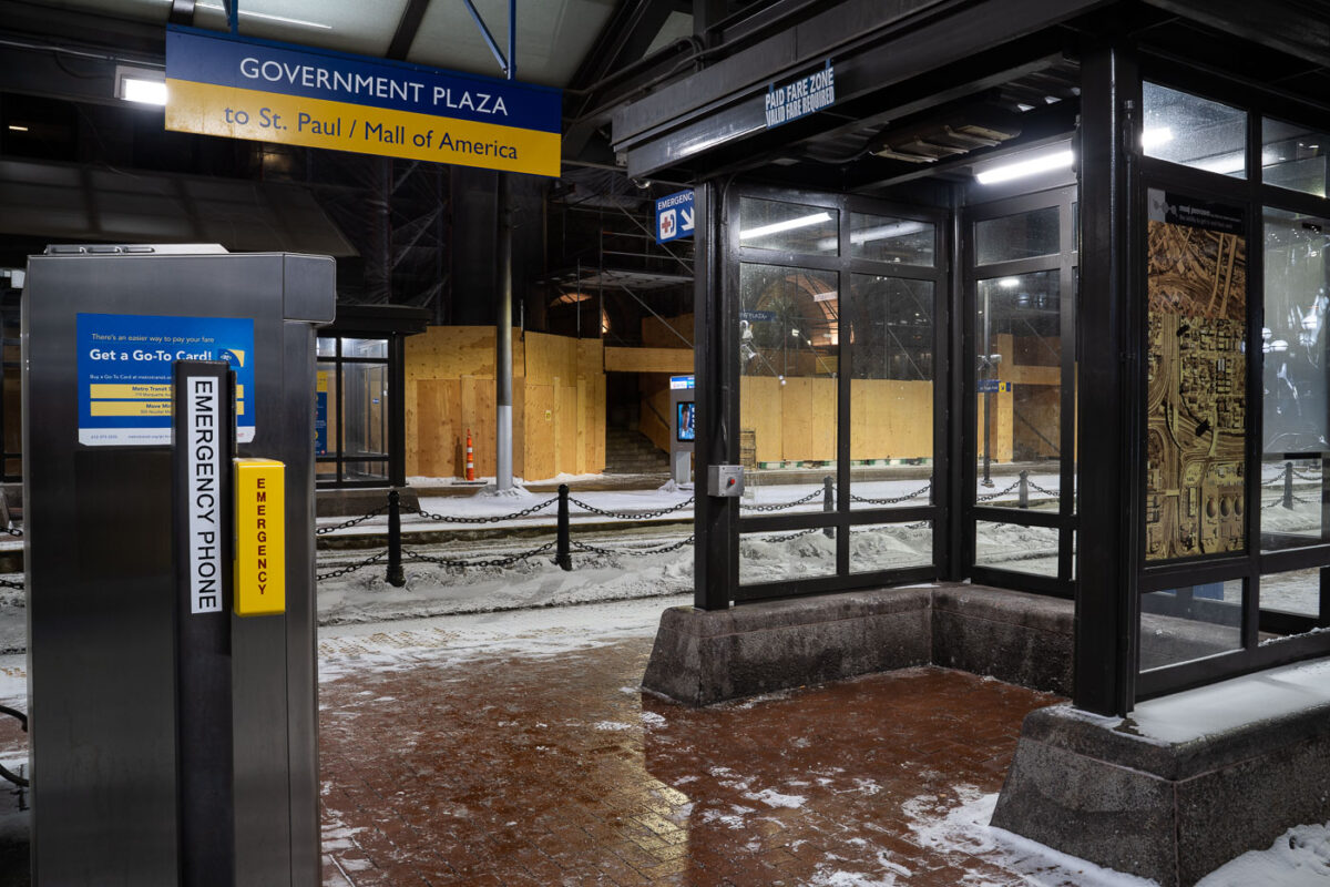
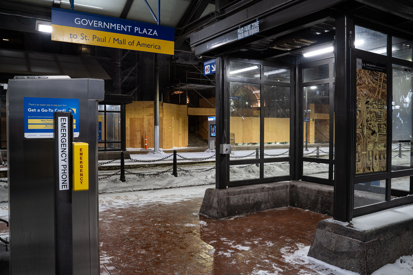
Government Plaza station entrance in downtown Minneapolis with plywood barriers and Metro Transit platform signage.
Government Plaza station in downtown Minneapolis serves Metro Transit Blue and Green Line trains. The platform signage directs riders toward St. Paul and the Mall of America. Plywood barriers were installed around parts of the station area in February 2021 during heightened security measures tied to the Derek Chauvin trial.

Government Plaza station entrance, Minneapolis
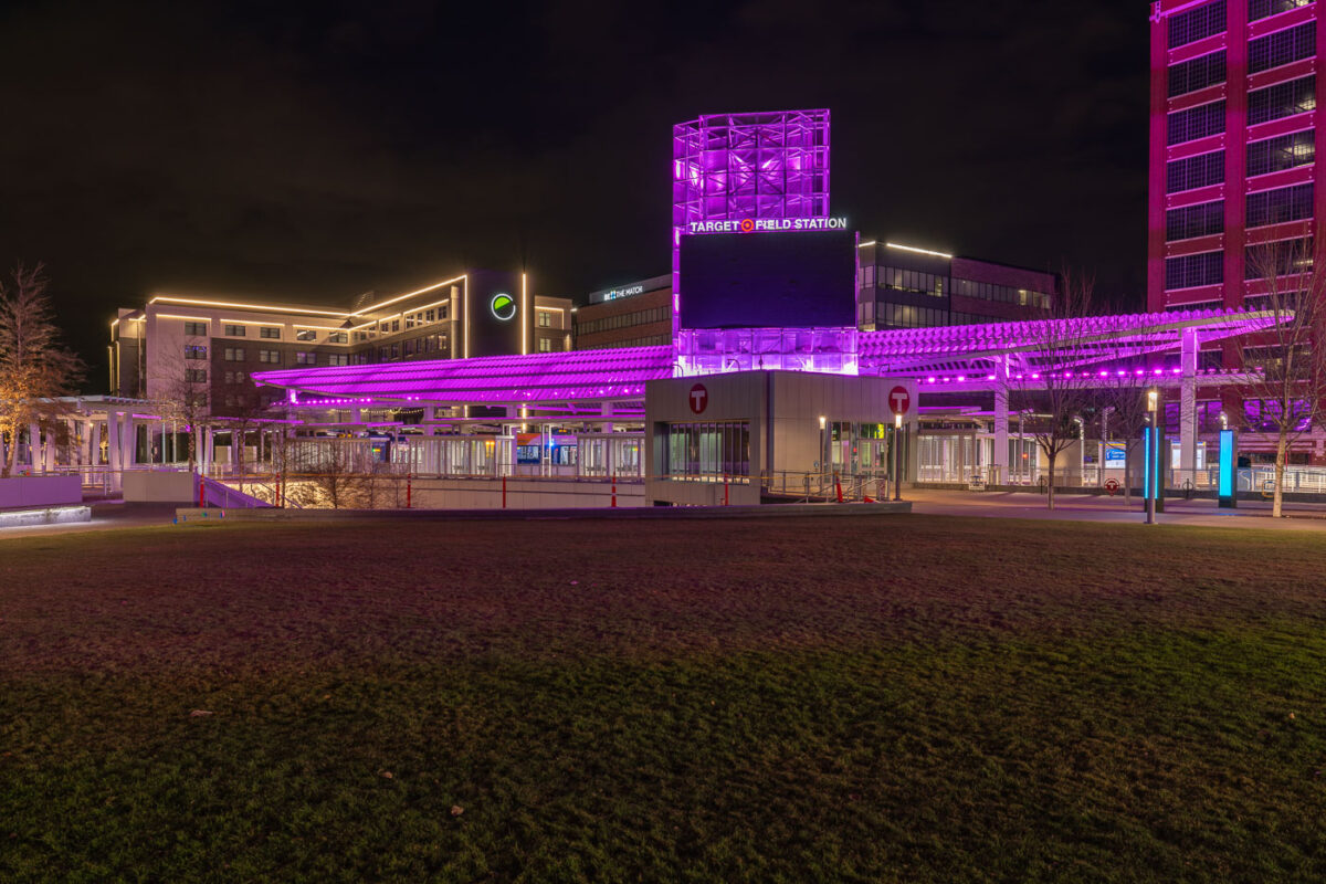
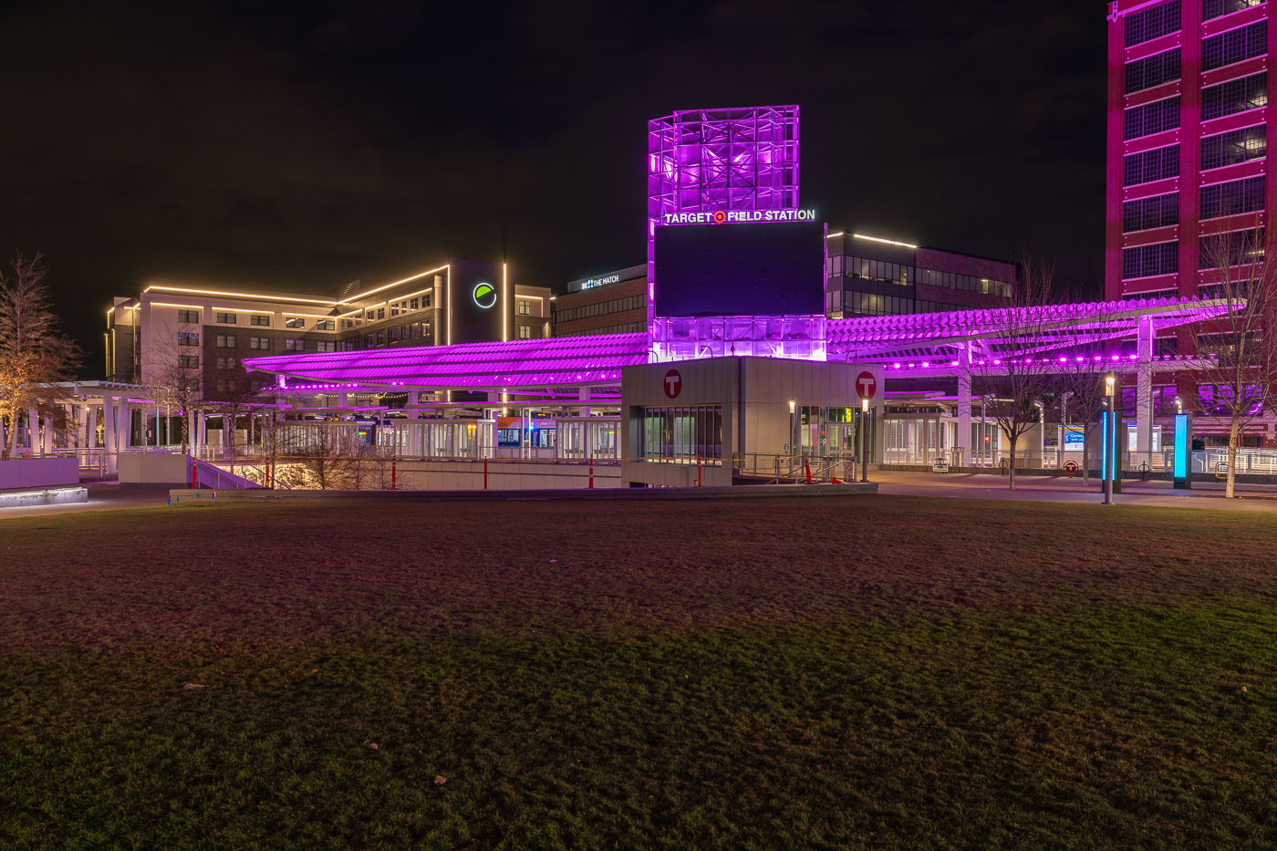
Target Field Station light rail transit hub glows with purple lighting at night in downtown Minneapolis.
Target Field Station opened in 2014 as the transit hub serving Target Field and the North Loop. It's a stop on both the METRO Green Line and Blue Line, connecting downtown Minneapolis to St. Paul, the airport, and Mall of America. A public plaza next to the station hosts pregame gatherings before Twins games.

Target Field Station in Downtown Minneapolis
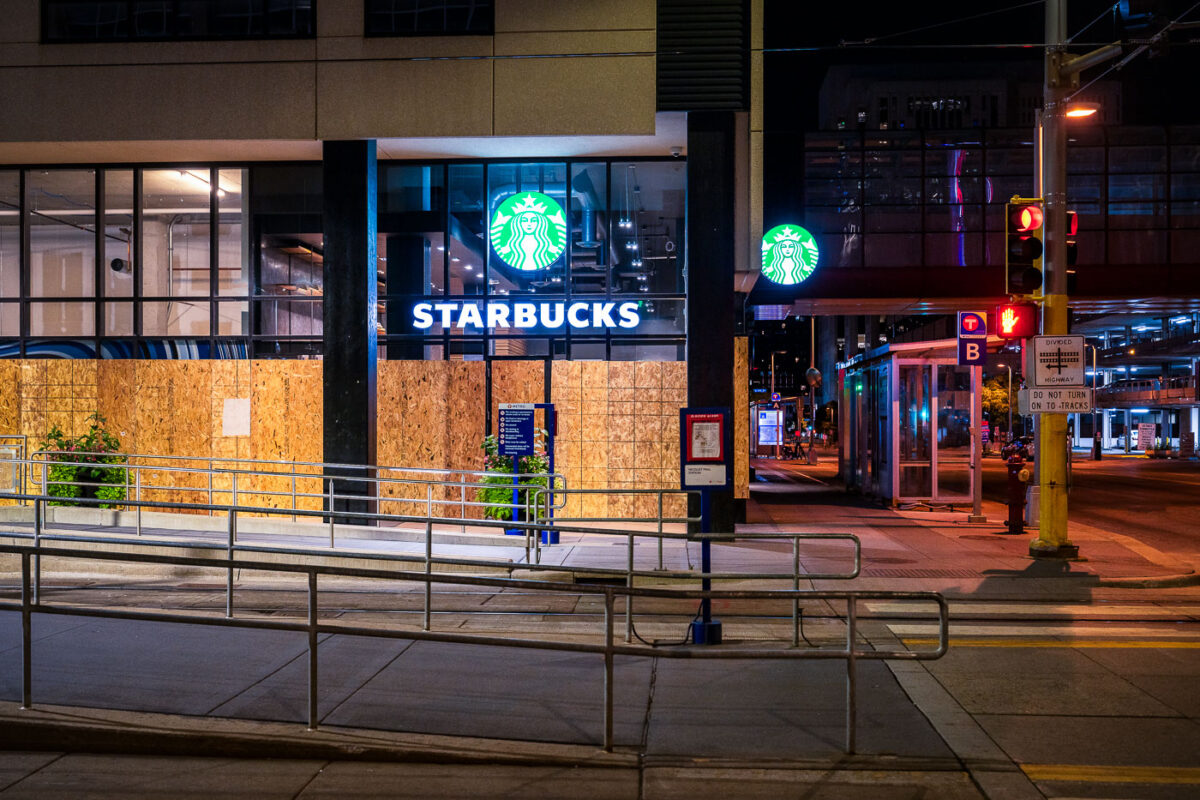
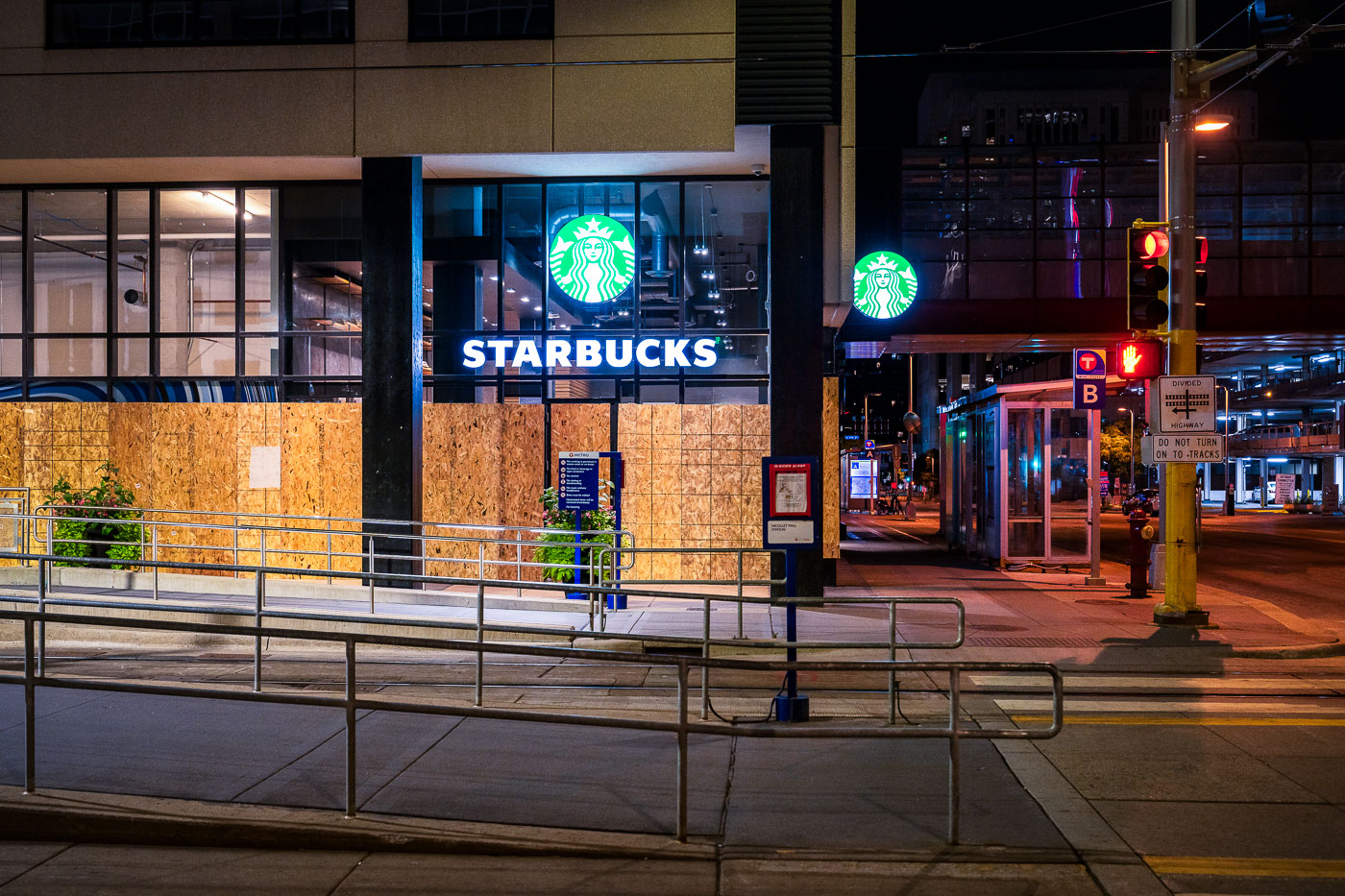
Boarded Starbucks storefront at Nicollet Mall Station in downtown Minneapolis at night with neon signage visible.
A boarded Starbucks at Nicollet Mall Station in downtown Minneapolis is shown at the corner of South Marquette Avenue beside the METRO light rail platform.

Boarded-Up Starbucks Near Nicollet Mall Station at Night
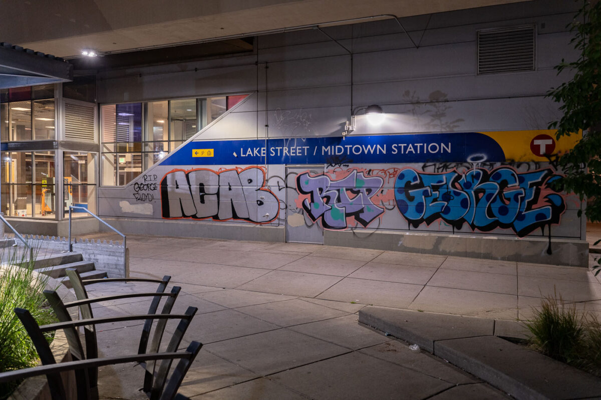
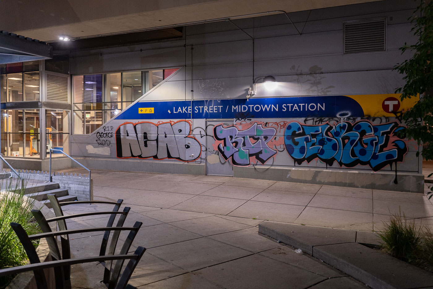
ACAB RIP GEORGE graffiti on Midtown Station
Graffiti expressing "R.I.P. George Floyd" and "ACAB" covers a wall at the Lake Street / Midtown Station in South Minneapolis.

ACAB RIP George Floyd Graffiti, Midtown Station, Minneapolis
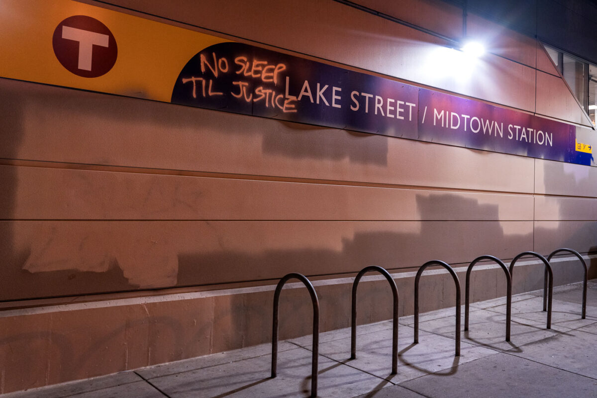
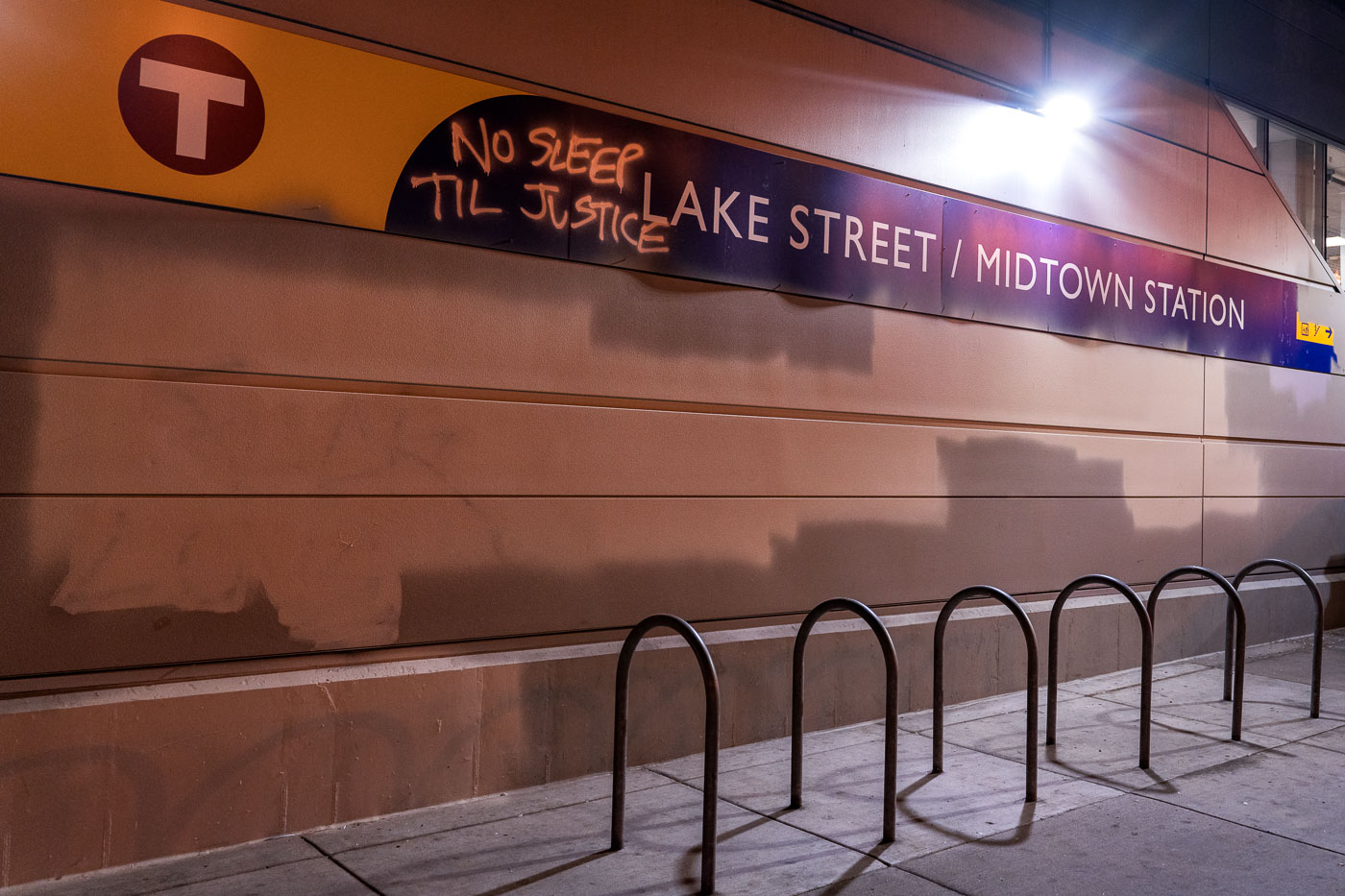
No Sleep Til Justice at Midtown Station
Graffiti reading "No Sleep Til Justice" is visible on the signage of the Lake Street/Midtown Station in South Minneapolis.

No Sleep Till Justice Graffiti at Lake Street/Midtown Station
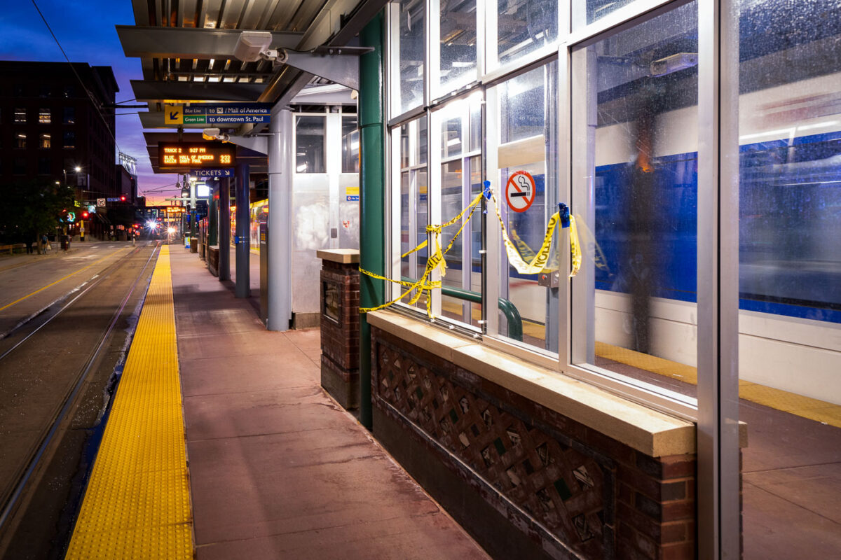
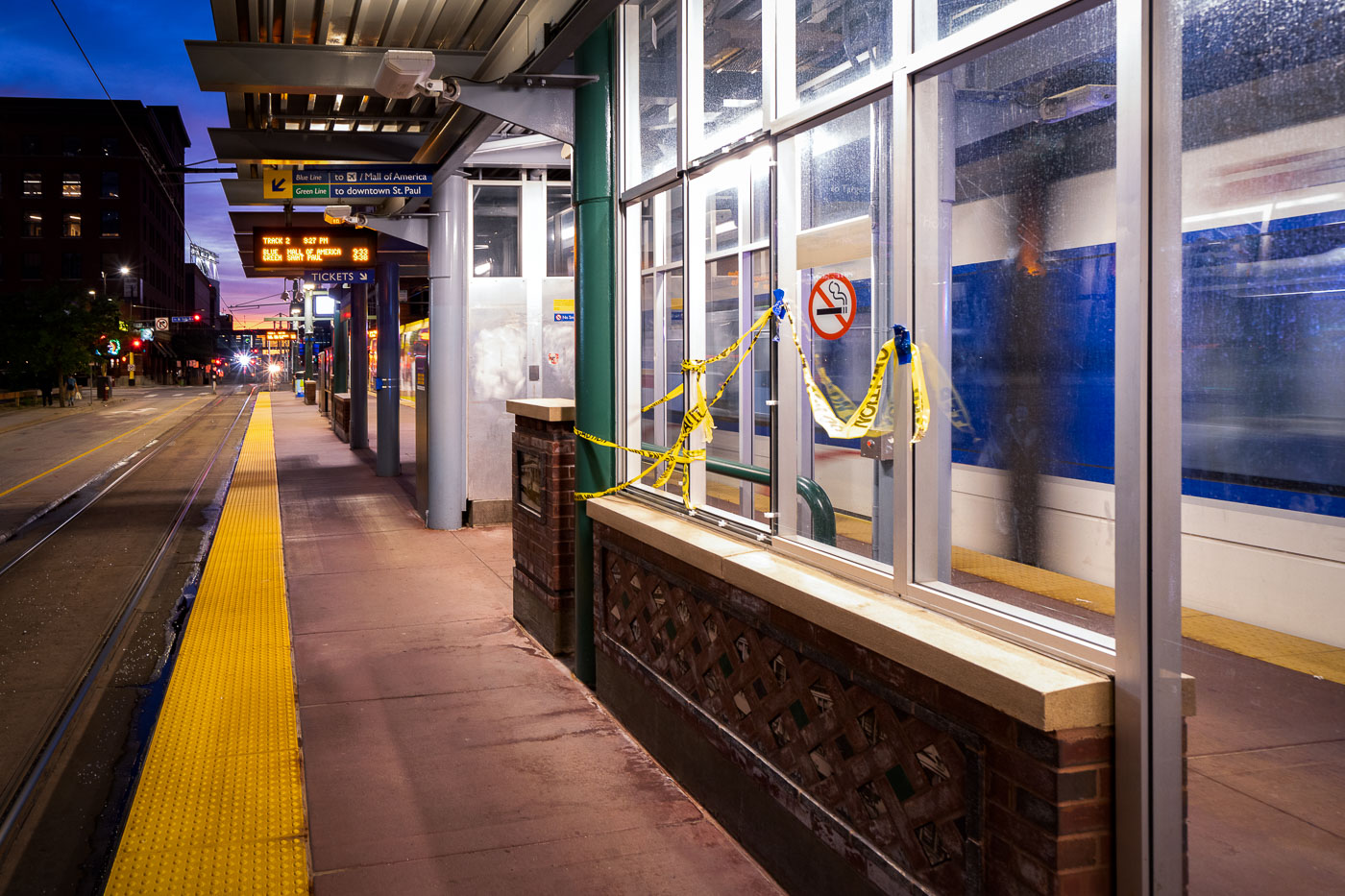
Warehouse District/Hennepin Station platform blocked with caution tape in downtown Minneapolis.
Warehouse District/Hennepin Station in downtown Minneapolis has caution tape blocking part of the METRO light rail platform. Signs for the Blue Line and Green Line are posted under the station canopy. The station serves trains through the Warehouse District on 5th Street in the city center.

Warehouse District/Hennepin Station platform closure, Minneapolis
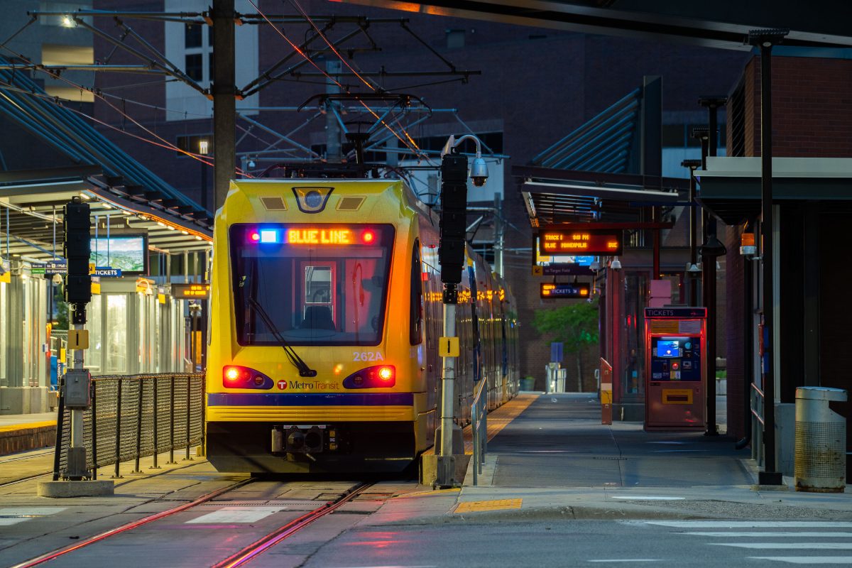
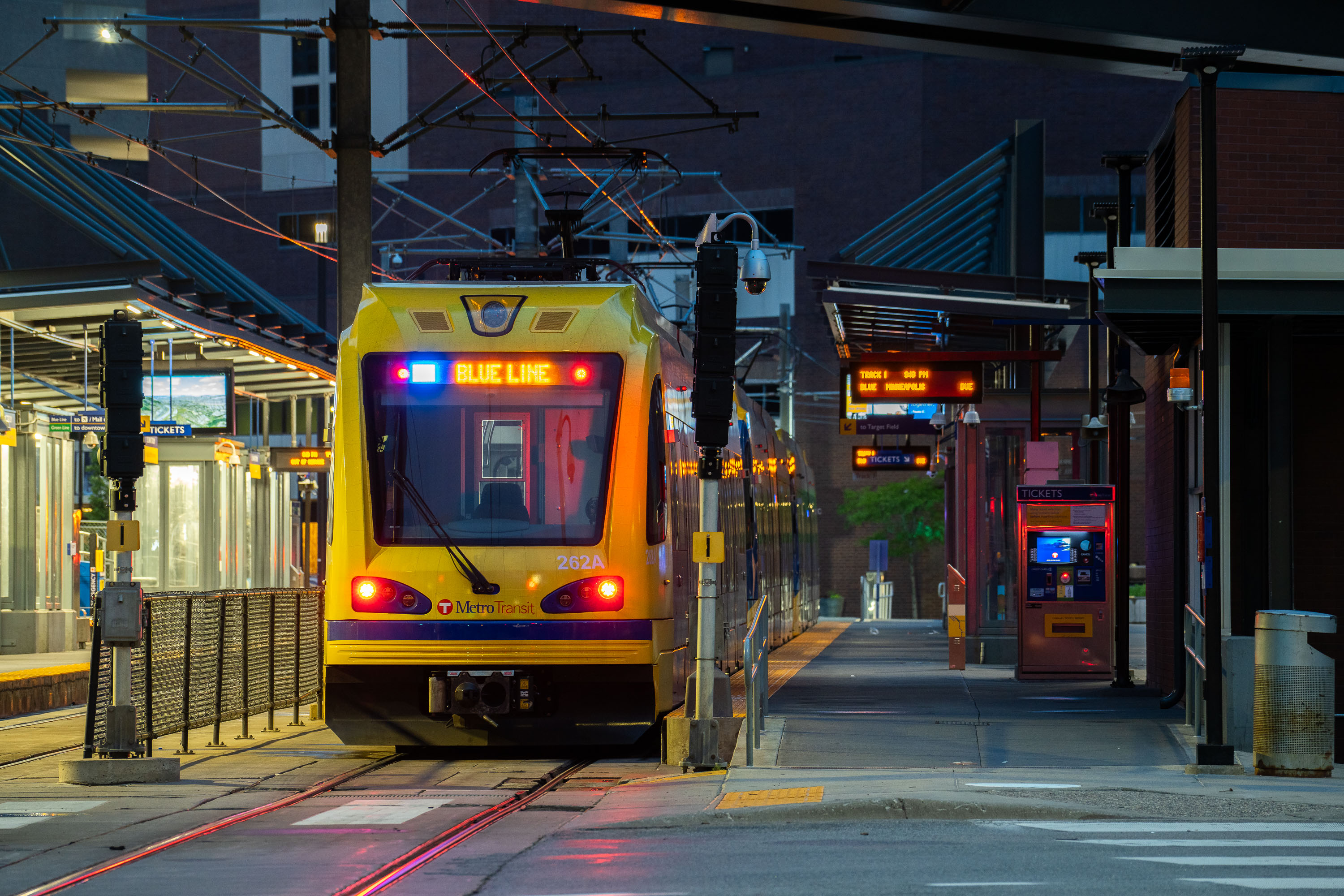
Metro Transit Blue Line train at Warehouse District/Hennepin Avenue Station in Minneapolis at dusk.
The Warehouse District/Hennepin Avenue Station serves Metro Transit's METRO Blue Line, which runs between downtown Minneapolis and the Mall of America in Bloomington via Minneapolis-Saint Paul International Airport. The line opened in 2004 as the region's first light rail line, originally branded the Hiawatha Line. This station sits along Hennepin Avenue in the Warehouse District, a neighborhood of former wholesale and manufacturing buildings that now houses bars, theaters, and offices.

Blue Line Train at Dusk, Warehouse District/Hennepin Station
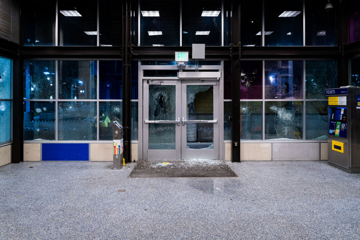
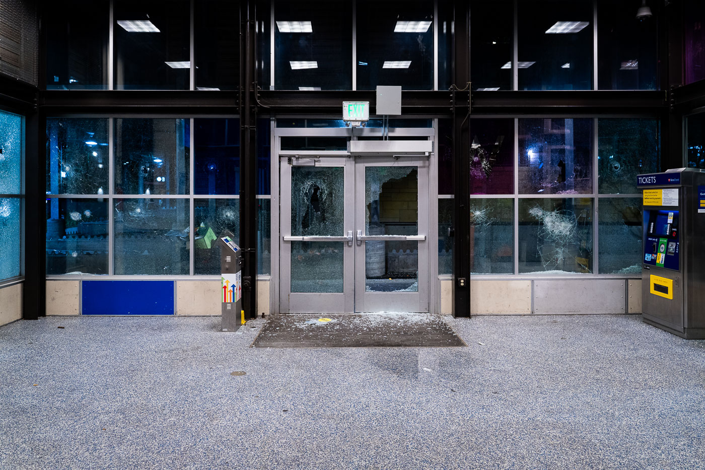
Shattered doors and windows at Lake Street/Midtown station in Minneapolis.
Damage to the entrance of the Lake Street/Midtown light rail station in Minneapolis is visible on May 28, 2020, with shattered glass in the doors and station windows. Operated by Metro Transit, the station is part of the Blue Line and serves the Lake Street corridor in south Minneapolis. The damage occurred during the third day of unrest in the city after the killing of George Floyd.

Lake Street Station Damage, Minneapolis
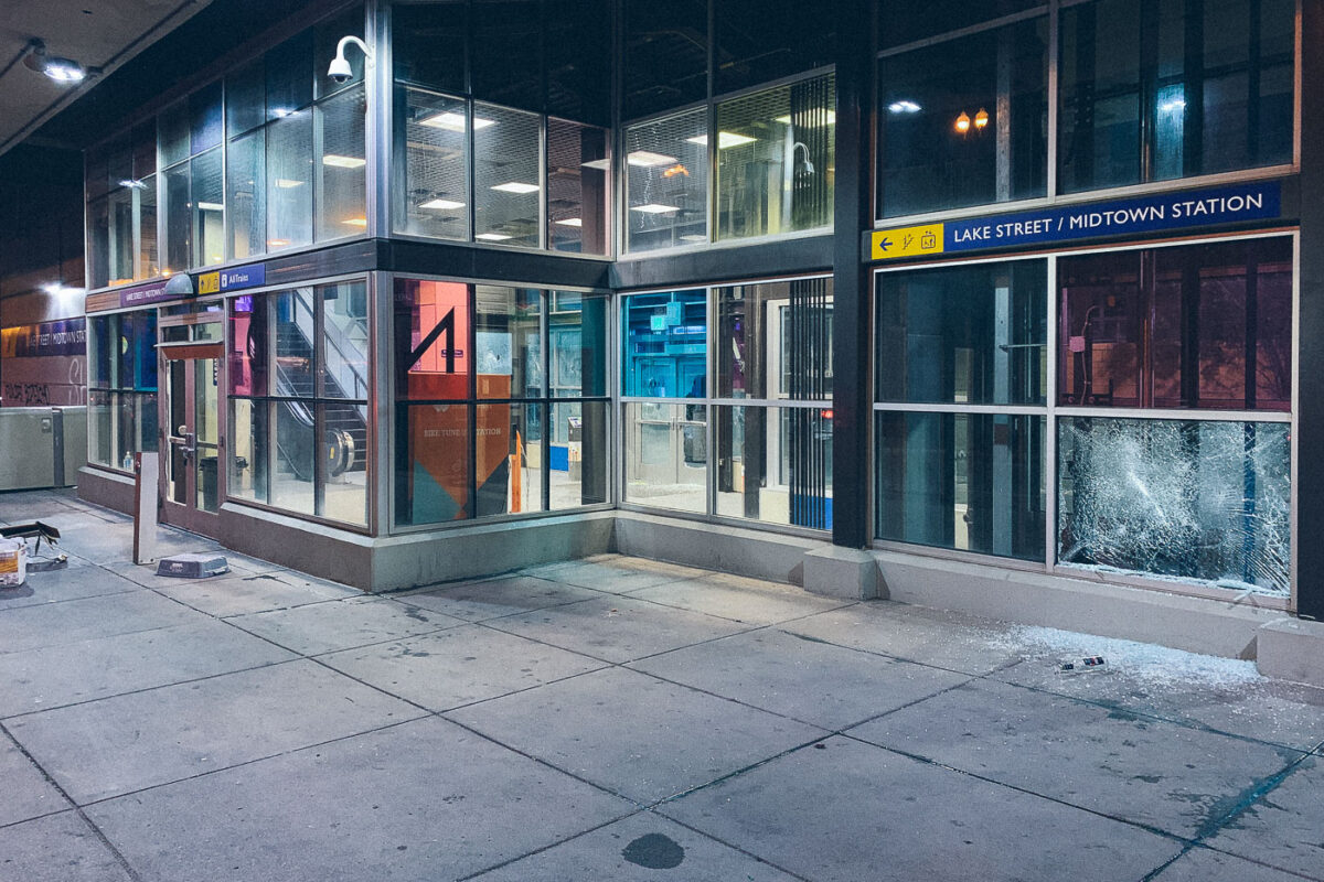
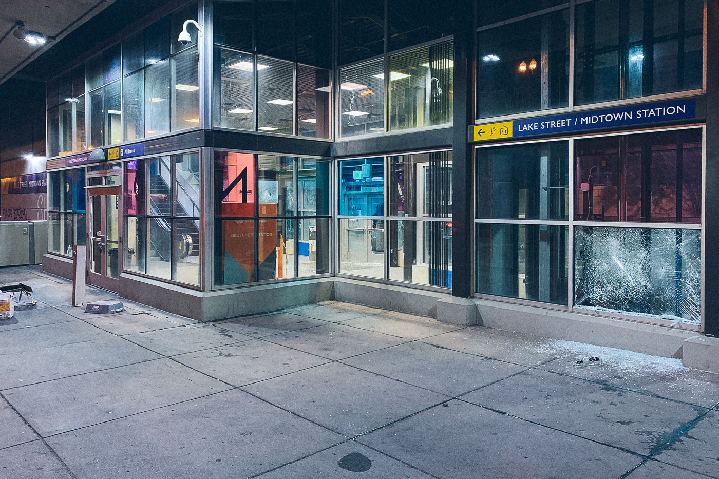
Shattered window at Lake Street/Midtown Station in Minneapolis, with broken glass on the sidewalk.
Lake Street/Midtown Station in Minneapolis stands with a shattered ground-floor window on May 28, 2020. The Metro Transit light rail station sustained visible damage during the third day of unrest in the city after the killing of George Floyd. Broken glass remains on the sidewalk outside the station entrance, where signage for the transit facility is still visible.

Shattered Window at Lake Street/Midtown Station
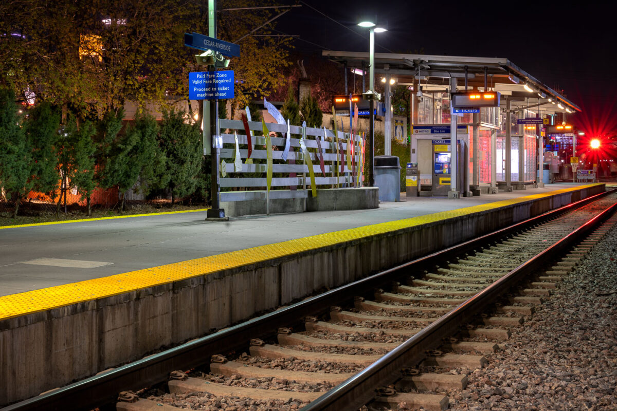
Cedar-Riverside Blue Line station platform at night in Minneapolis with yellow safety edge and rail tracks.
Cedar-Riverside Station sits along Metro Transit's Blue Line, formerly the Hiawatha Line, which opened in 2004 as the region's first light-rail route. The station serves the Cedar-Riverside and West Bank neighborhoods, just south of downtown Minneapolis and adjacent to the University of Minnesota's West Bank campus. The Blue Line runs roughly 12 miles between downtown Minneapolis, Minneapolis-Saint Paul International Airport, and the Mall of America in Bloomington. Metro Transit operates the line with trains arriving every 7 to 10 minutes during peak service hours.

Nighttime Platform at Cedar-Riverside Station
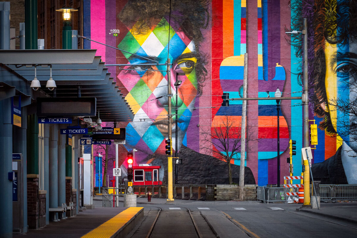
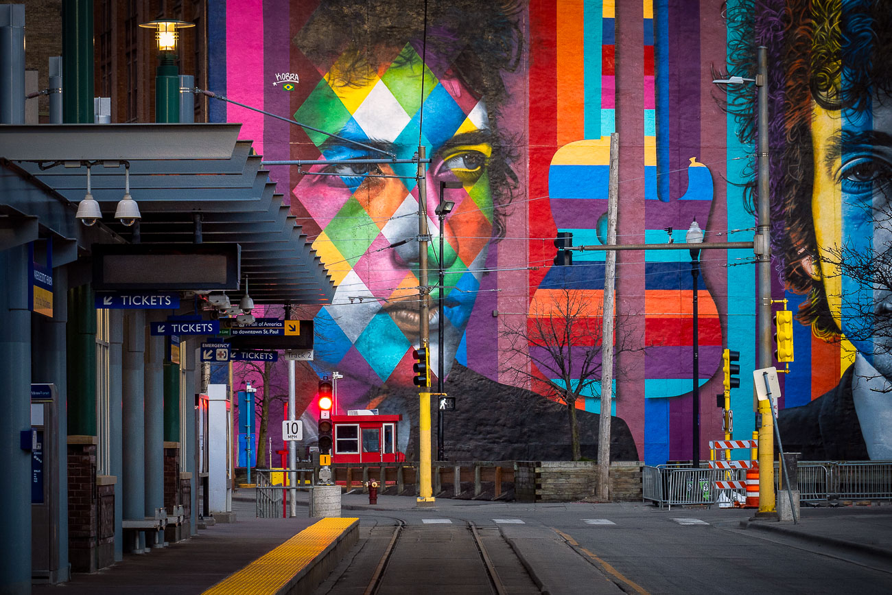
Eduardo Kobra's colorful Bob Dylan mural at Nicollet Mall station in downtown Minneapolis.
Eduardo Kobra painted this mural of Bob Dylan, titled "Face of Music," in 2015 for the Downtown Improvement District's Betsy-Ann Kane public art initiative. Brazilian street artist Kobra is known for his geometric, kaleidoscope-patterned portraits, which he has installed in cities worldwide. The mural covers roughly 90 feet of wall along the light rail corridor near Nicollet Mall Station, close to Hennepin Avenue in downtown Minneapolis. Dylan grew up in Hibbing, Minnesota, and began his music career in Dinkytown near the University of Minnesota before moving to New York in 1961.

Eduardo Kobra’s “Face of Music” Mural on Hennepin Avenue
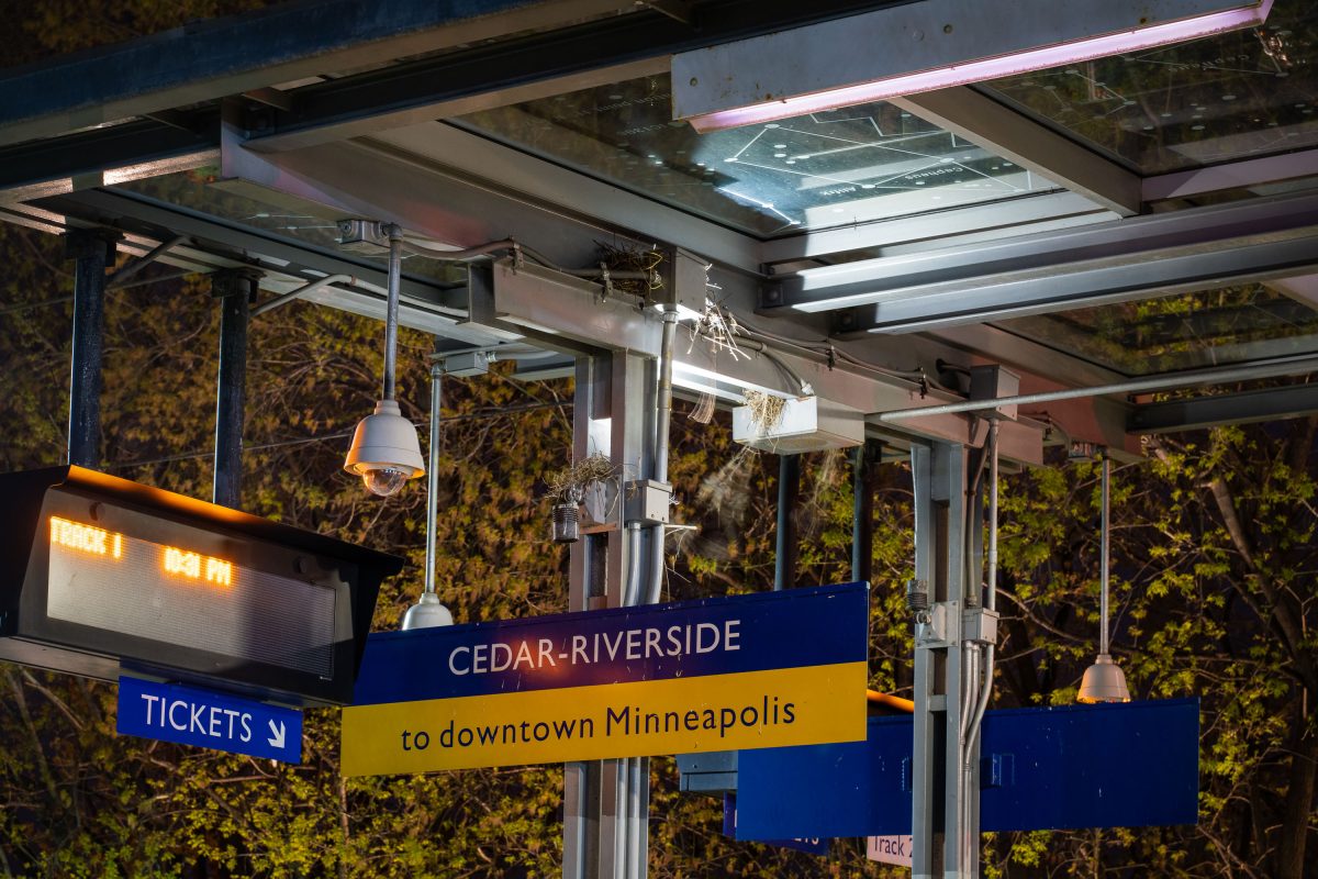
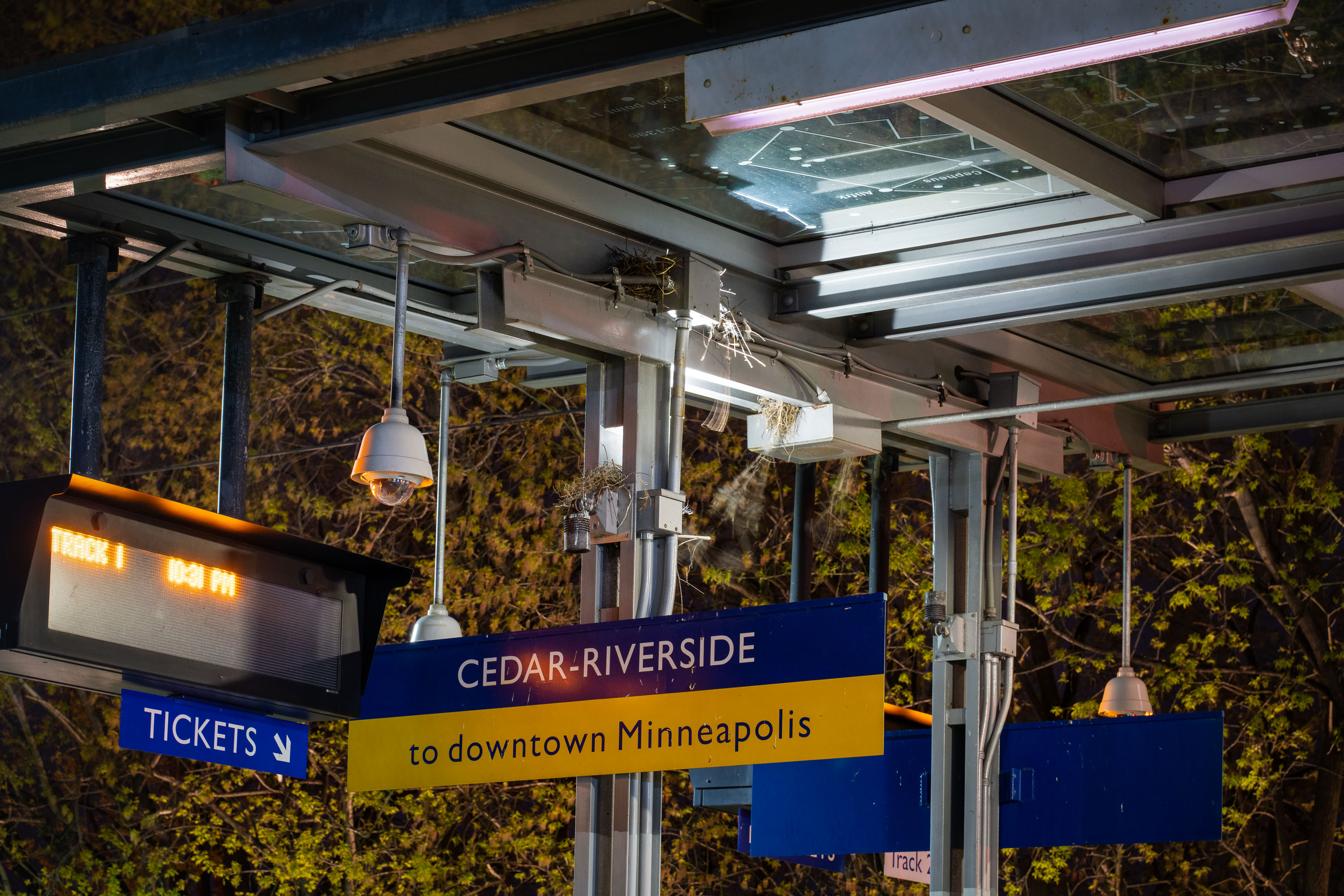
Cedar-Riverside light rail station platform sign in Minneapolis directing passengers to downtown via the Blue Line.
Cedar-Riverside Station serves the METRO Blue and Green Lines in Minneapolis, adjacent to the West Bank neighborhood and University of Minnesota. Opened in 2004 as part of the original Hiawatha Line, it sits near Augsburg University and the Cedar-Riverside residential towers, an area historically home to a large East African immigrant community.

Track 1 Signage at Cedar-Riverside Station, Minneapolis
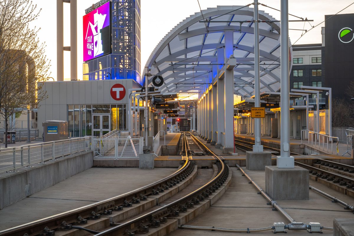
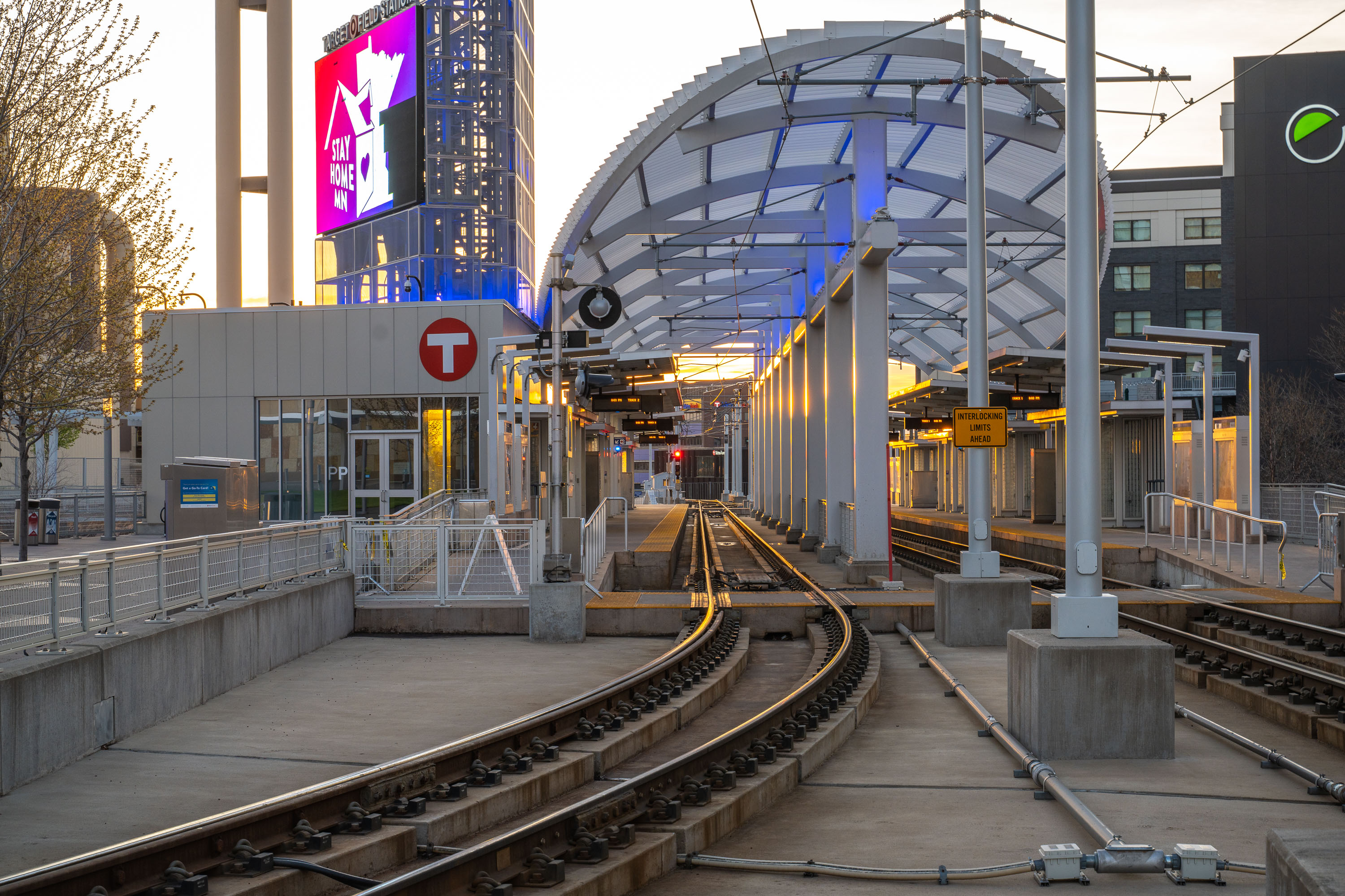
Empty platform at Target Field Station, a Minneapolis METRO light rail stop in the North Loop neighborhood.
Target Field Station sits in the North Loop neighborhood of downtown Minneapolis, serving as a stop on the METRO Blue and Green light rail lines. The station connects riders to Target Field, home of the Minnesota Twins, and links the North Loop to downtown Minneapolis and the broader METRO system.

“Stay Home MN” Sign Above Target Field Station at Dusk
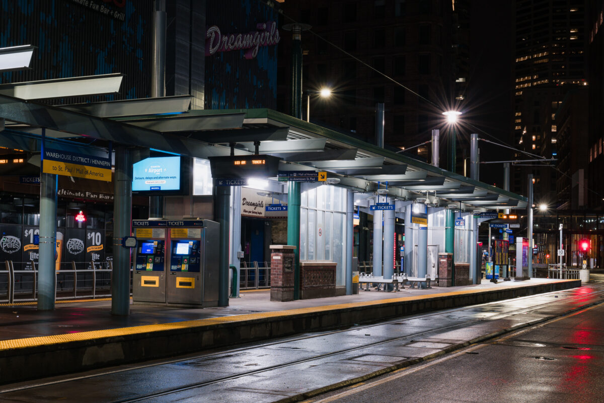
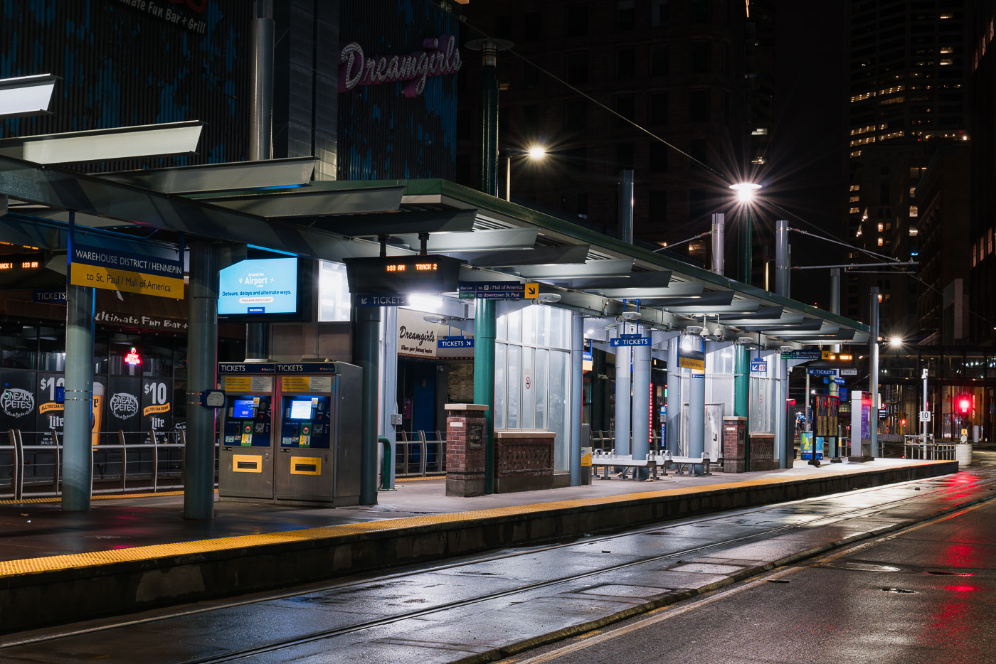
Warehouse District/Hennepin light rail station on North 5th Street in downtown Minneapolis, empty during early morning hours.
Warehouse District/Hennepin Station sits on North 5th Street in downtown Minneapolis, one of the stops serving Metro Transit's METRO Blue and Green Line trains. The station connects riders to downtown St. Paul and the Mall of America along one route, and to the Warehouse District's bars, theaters, and entertainment venues at street level. Metro Transit operates the regional light rail system, which opened its first line in 2004. This platform recorded far lower ridership in late March 2020, after Minnesota's statewide stay-at-home order took effect during the early weeks of the COVID-19 pandemic.

Warehouse District/Hennepin Station at Night, Minneapolis
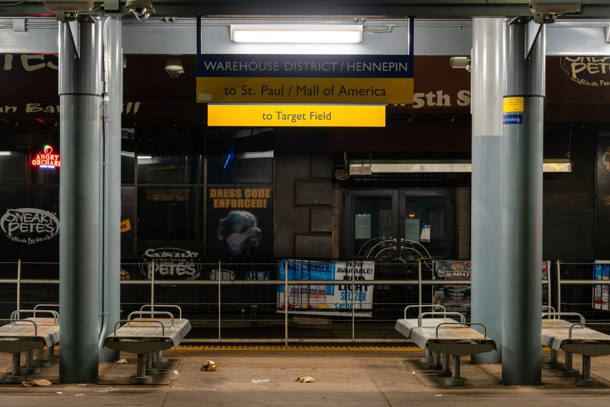
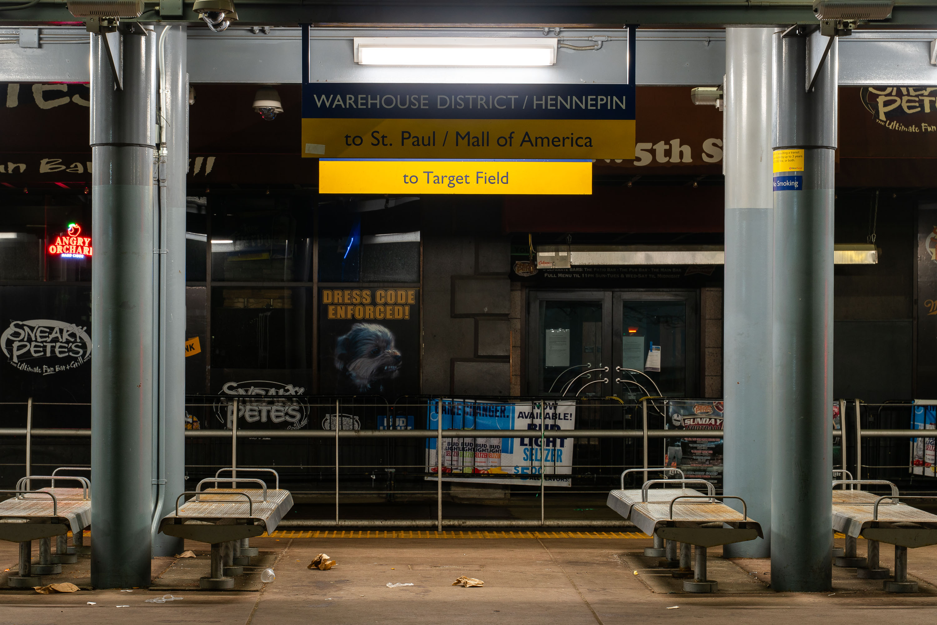
Warehouse District/Hennepin Avenue light rail station platform in downtown Minneapolis with directional signs to St. Paul.
The Warehouse District/Hennepin Avenue Station serves the METRO Blue and Green Lines in downtown Minneapolis, connecting riders to Target Field, St. Paul, and the Mall of America. Located near the Warehouse District entertainment area on 5th Street, the station provides transit access to nearby bars, clubs, and Target Field Station.

Empty Platform at Warehouse District/Hennepin Station, Minneapolis
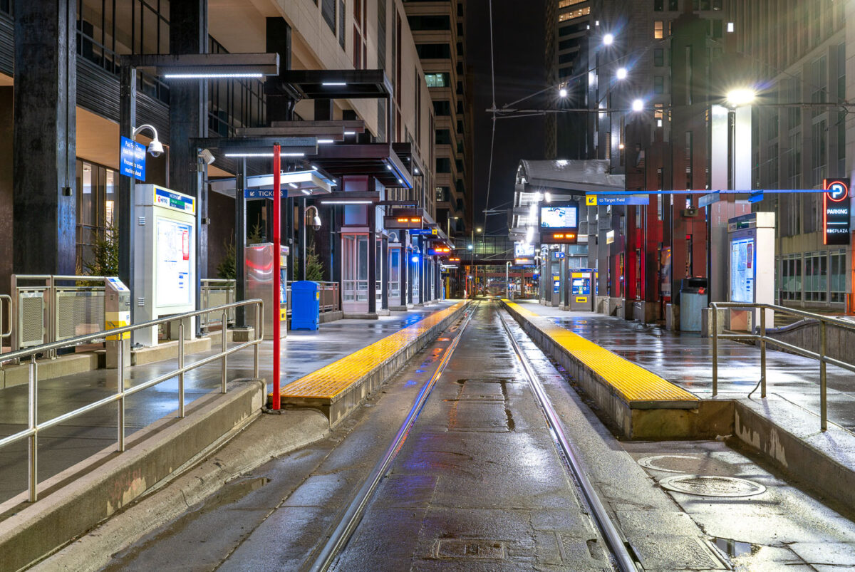
Nicollet Mall light rail station platform stretches empty at night during early COVID-19 pandemic closures in downtown
Nicollet Mall Station serves Metro Transit's Blue and Green Line trains along the transit mall in downtown Minneapolis. The Blue Line opened in 2004 as the region's first light rail line, running between downtown and the Mall of America; the Green Line, connecting downtown Minneapolis to downtown St. Paul, began service in 2014. The station sits along Nicollet Mall, a pedestrian and transit corridor that has restricted private vehicle traffic since the 1960s. Overhead signage points riders toward Target Field, home of the Minnesota Twins, a short walk to the north. This dates to late March 2020, during the early weeks of Minnesota's COVID-19 stay-at-home order, when ridership on the system dropped sharply from pre-pandemic levels.

A Rainy Night at Minneapolis’s Nicollet Mall Station
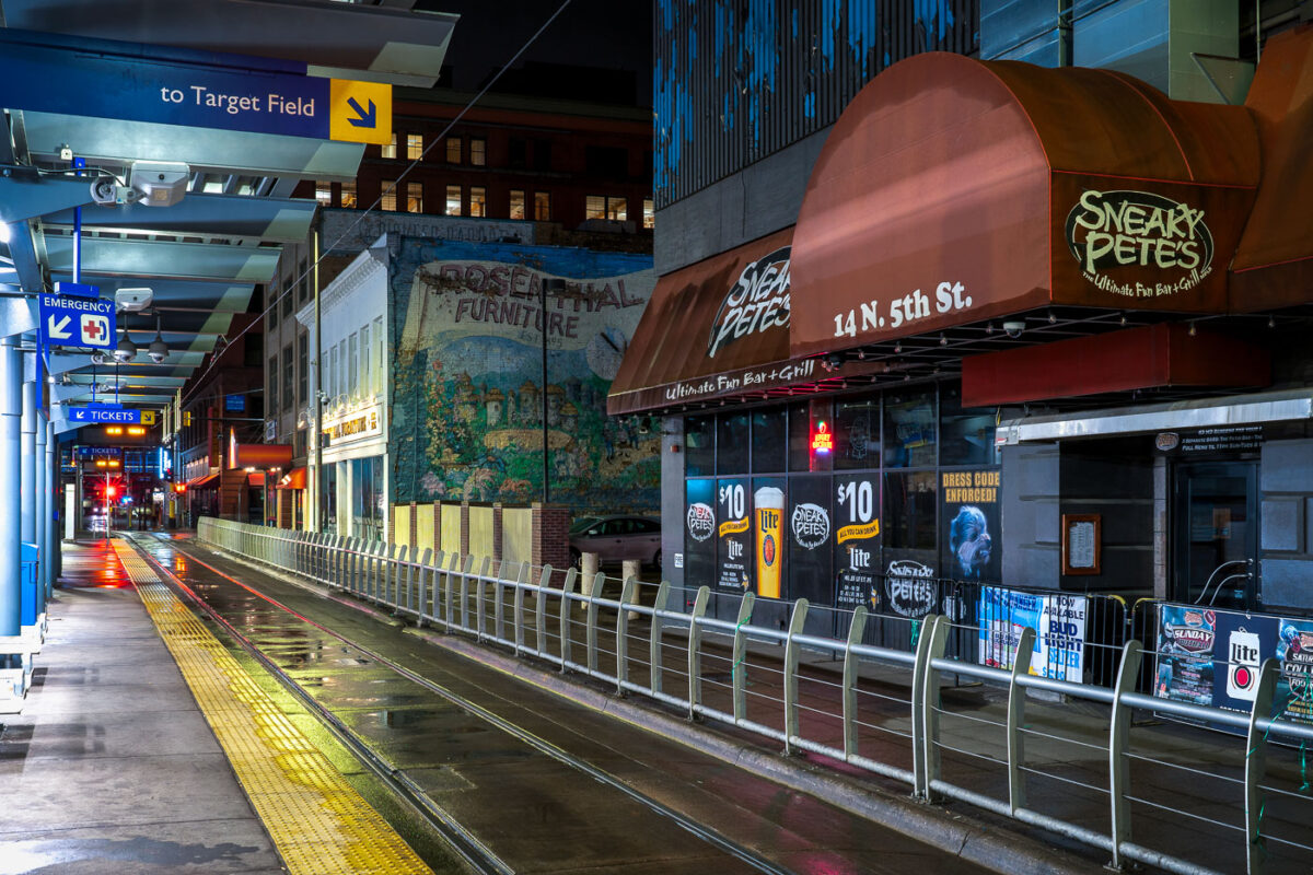
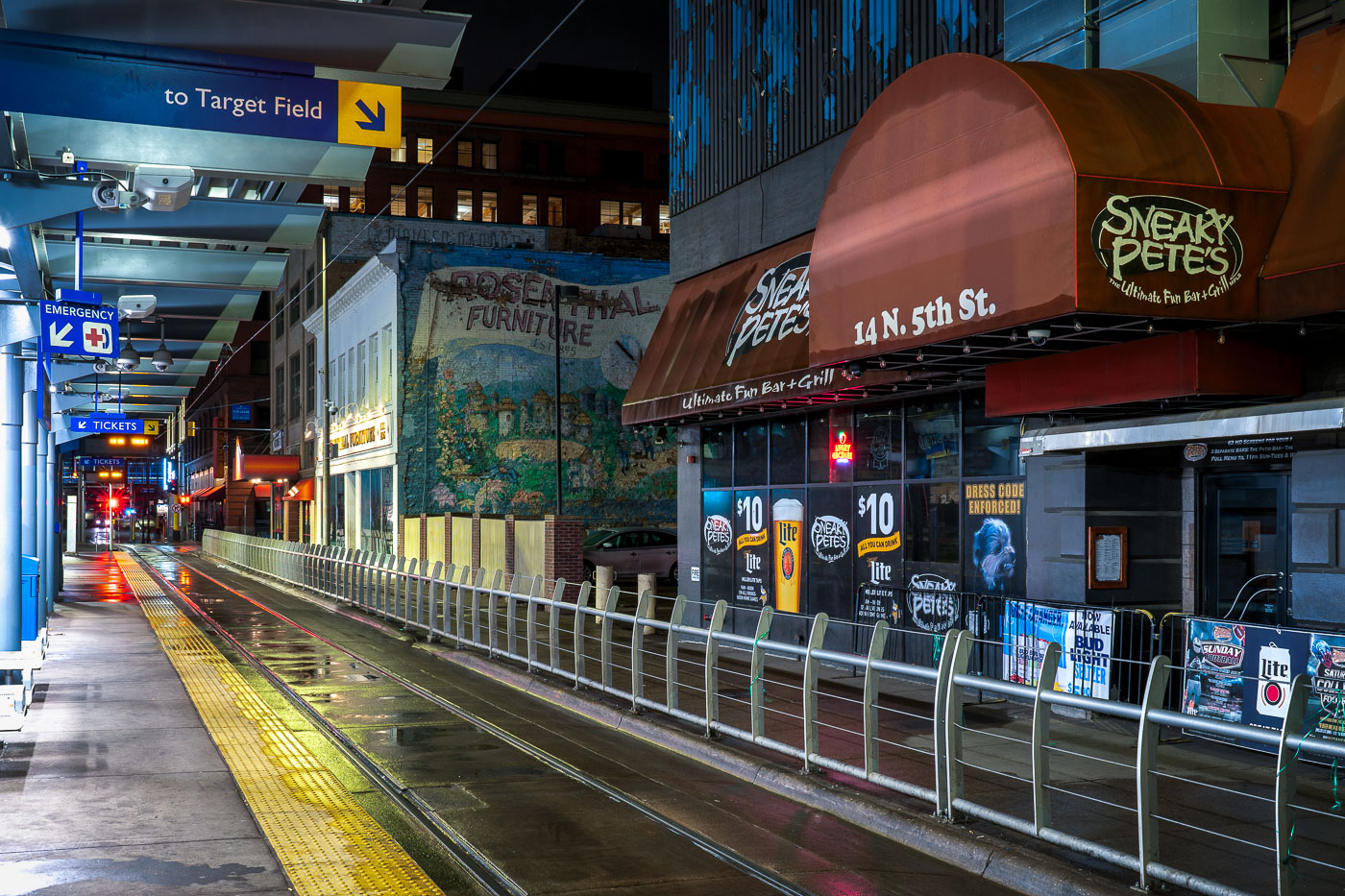
Sneaky Petes during covid19 stay at home orders
Sneaky Pete’s Bar at 14 N. 5th St. in downtown Minneapolis stands dark beside a METRO light rail platform on March 28, 2020, the first night of Minnesota’s COVID-19 stay-at-home order.

Sneaky Pete’s Bar, 14 N. 5th St., Minneapolis, COVID-19 Stay at Home Order
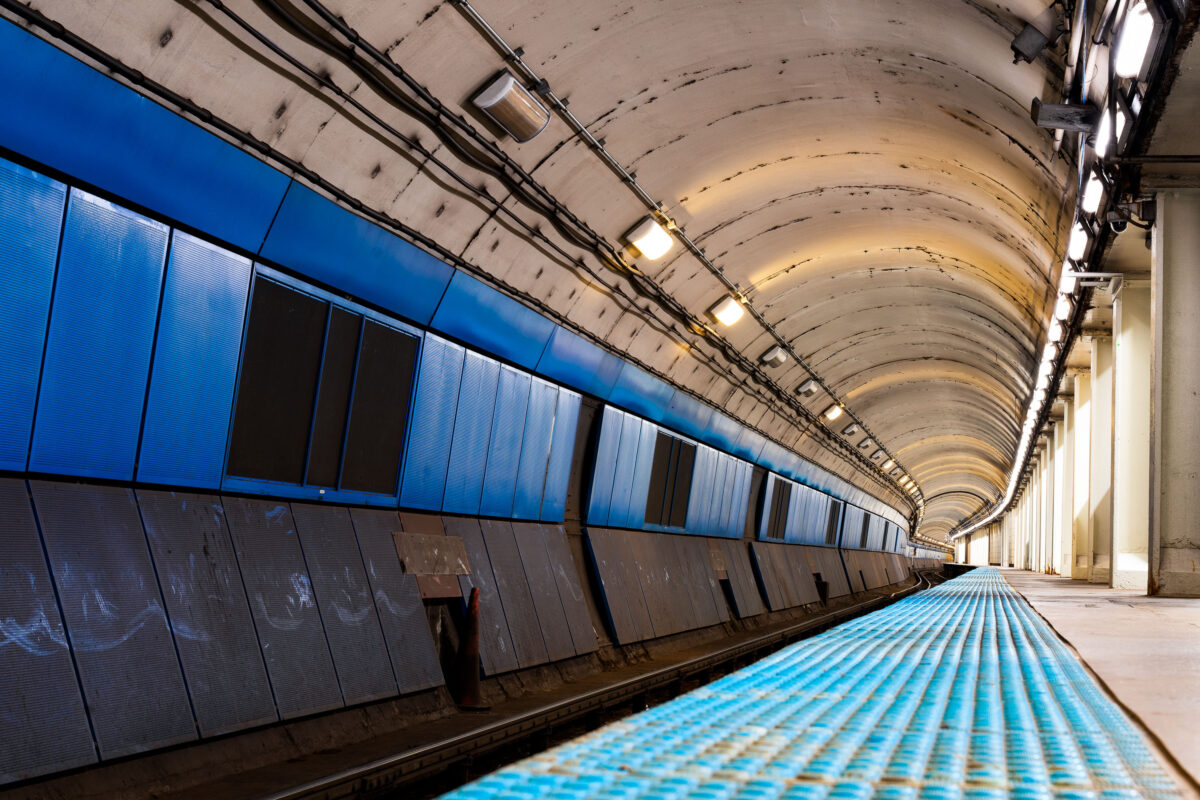
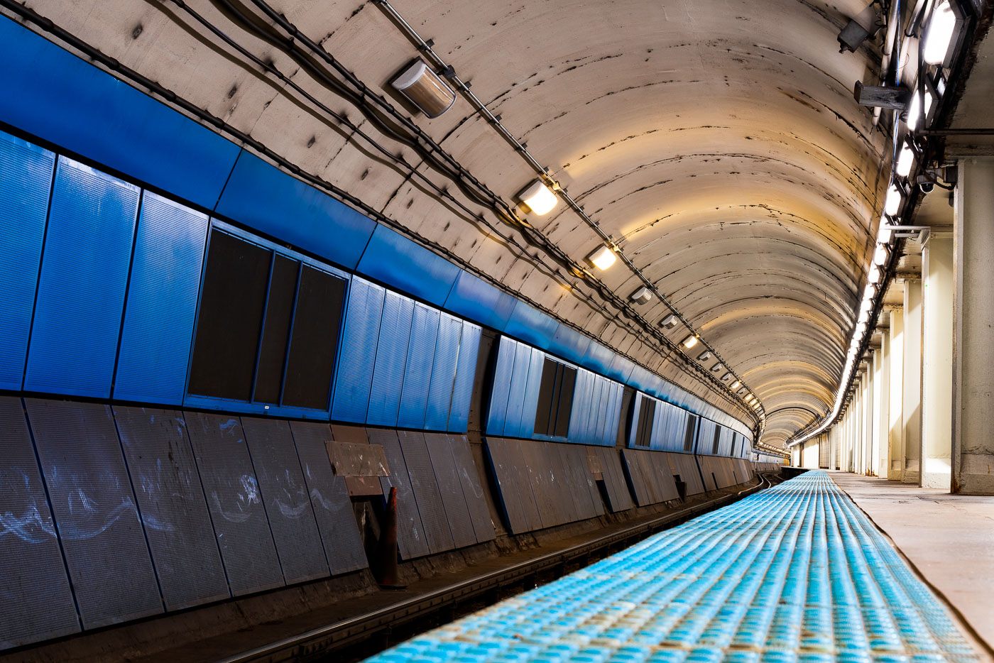
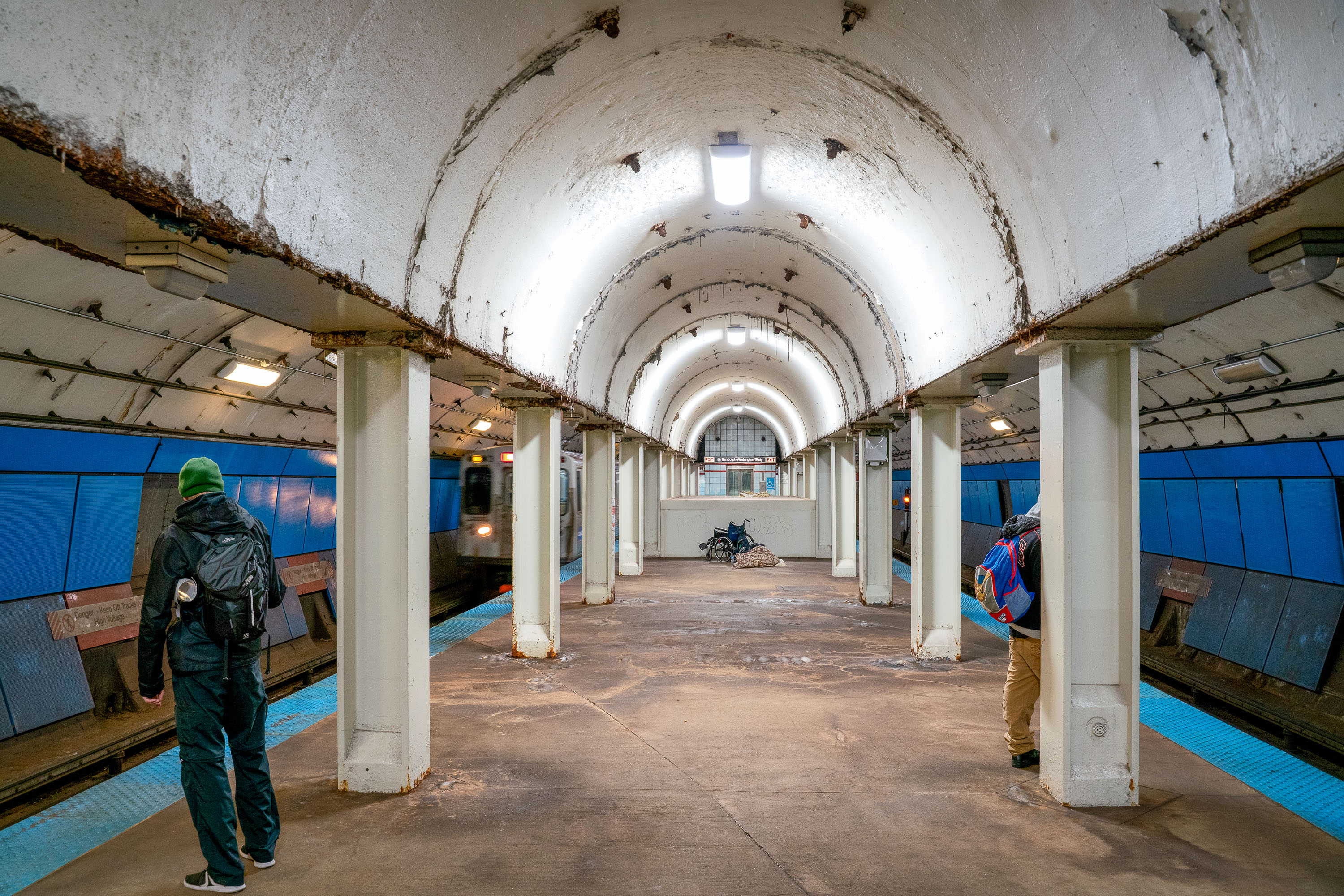
Empty CTA Blue Line subway platform with blue wall panels and curved concrete tunnel ceiling lit by overhead lights.
CTA Blue Line subway platform in Chicago is part of the Milwaukee-Dearborn Subway, the downtown tunnel used by Blue Line trains through the Loop. The subway opened in 1951 and carries trains between O'Hare International Airport, downtown Chicago, and the Forest Park branch. Its arched tunnel and side platform are typical of Chicago's mid-20th-century rapid transit construction.

Milwaukee-Dearborn Subway Tunnel on the CTA Blue Line
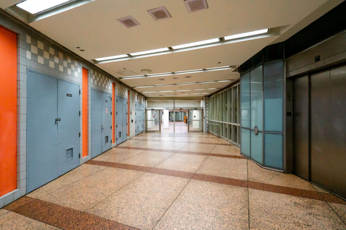
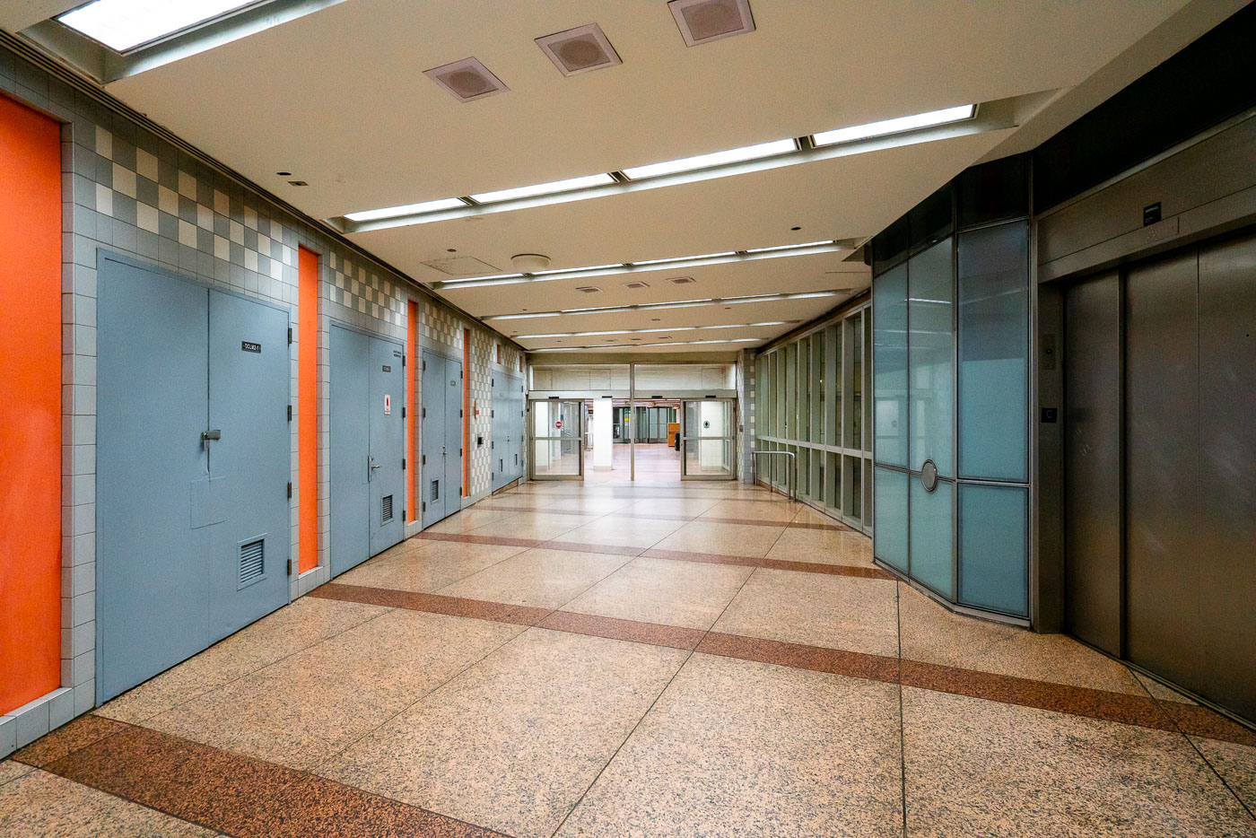
Empty Chicago Pedway corridor with blue doors, orange trim, and terrazzo flooring beneath the Loop.
An empty corridor of the Chicago Pedway connects the Randolph/Washington subway station to surrounding office buildings and shopping centers beneath the Loop. The Pedway system, developed beginning in the 1950s, extends for more than 40 city blocks, linking major transit lines with civic and commercial spaces. Its mid-century design—terrazzo floors, tiled walls, and fluorescent lighting—reflects the city’s practical approach to all-weather pedestrian infrastructure, a defining feature of downtown Chicago’s urban core.

Terrazzo Corridor in the Chicago Pedway
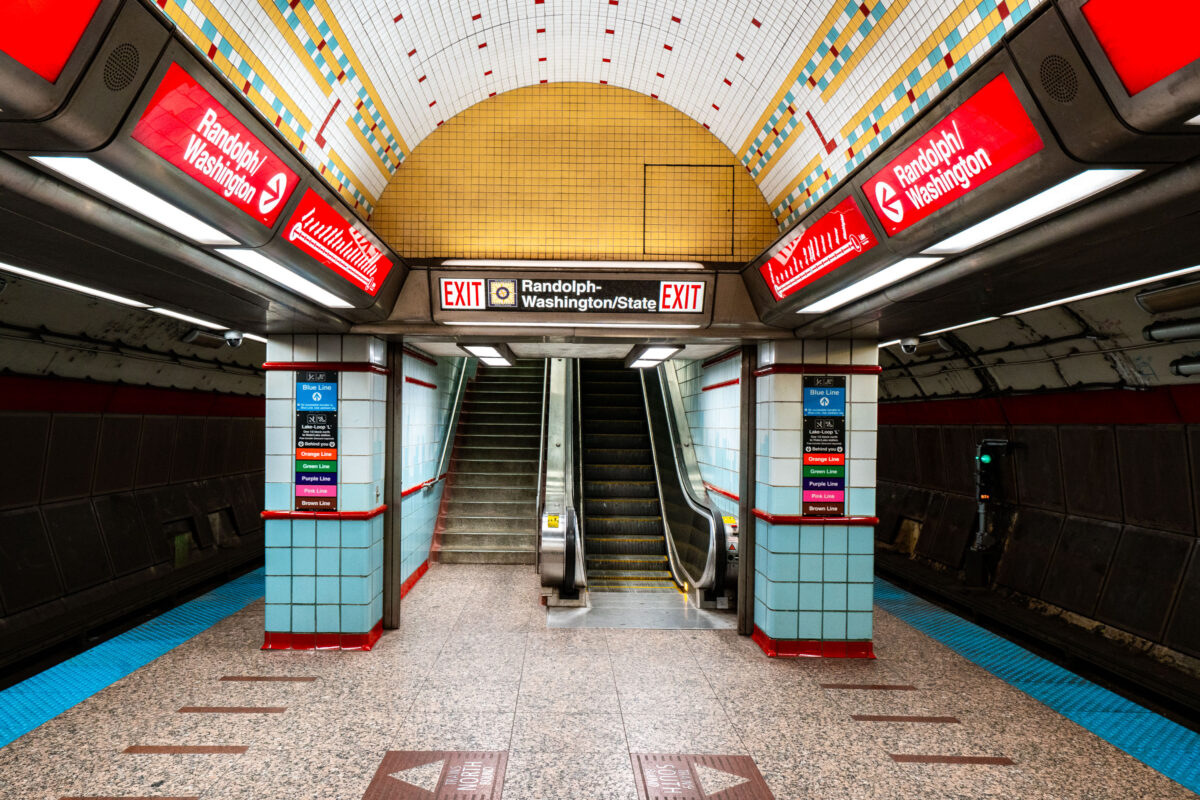
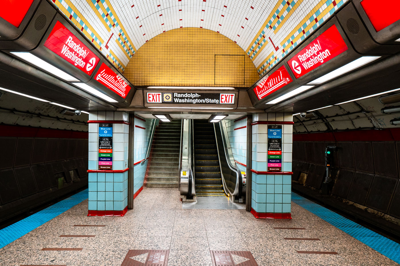
Randolph-Washington/State station platform in Chicago's CTA subway with yellow dome ceiling and red signage.
Randolph-Washington/State exit area in the CTA State Street subway in Chicago’s Loop. The subway opened in 1943 and carries Red Line trains beneath State Street through downtown. Station wayfinding directs riders to Randolph and Washington streets and to transfers within the downtown CTA network.

Exit Stairway to Randolph-Washington/State in Chicago’s Subway
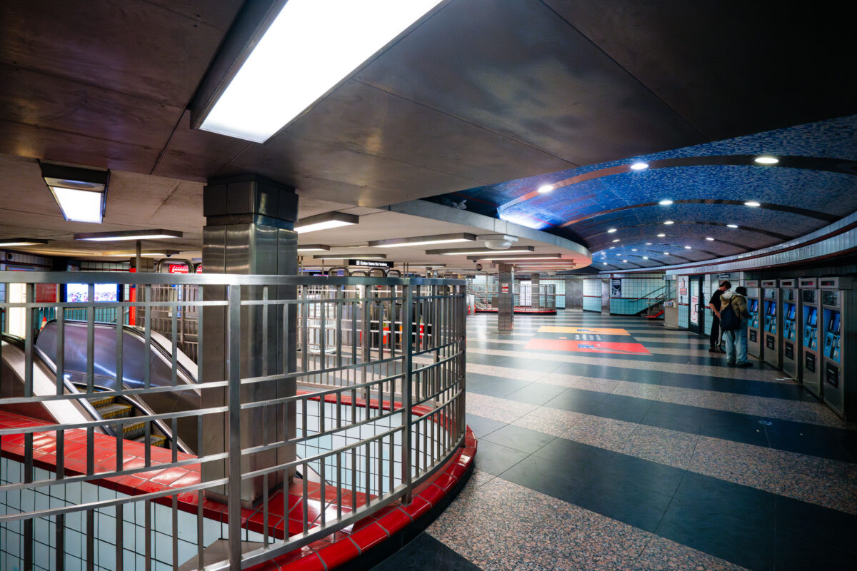
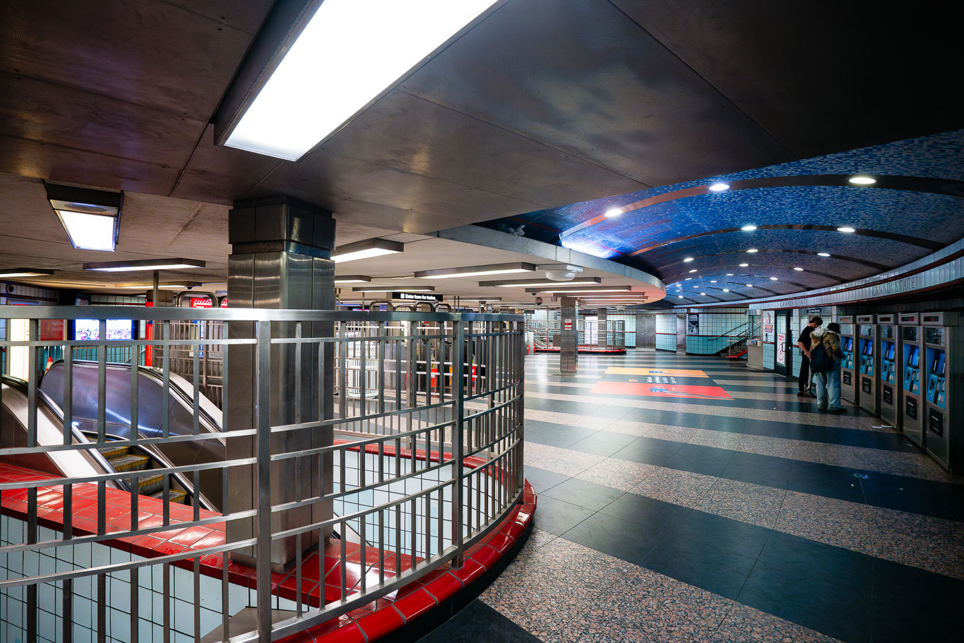
Grand/State CTA Station platform in Chicago with blue mosaic ceiling and red railings.
The interior of the Grand/State CTA Station in Chicago, a key transfer point on the city's rapid transit system. Opened in 1951, the station serves both the Red and Purple Lines, facilitating transit for thousands of commuters daily. The station's design features a distinctive vaulted ceiling adorned with blue mosaic tiles, a common aesthetic in mid-20th century public works projects. Passengers are seen here utilizing ticket vending machines, a modern convenience within this enduring piece of Chicago's transportation history.

Fare Machines and Escalators at Grand/State Station, Chicago
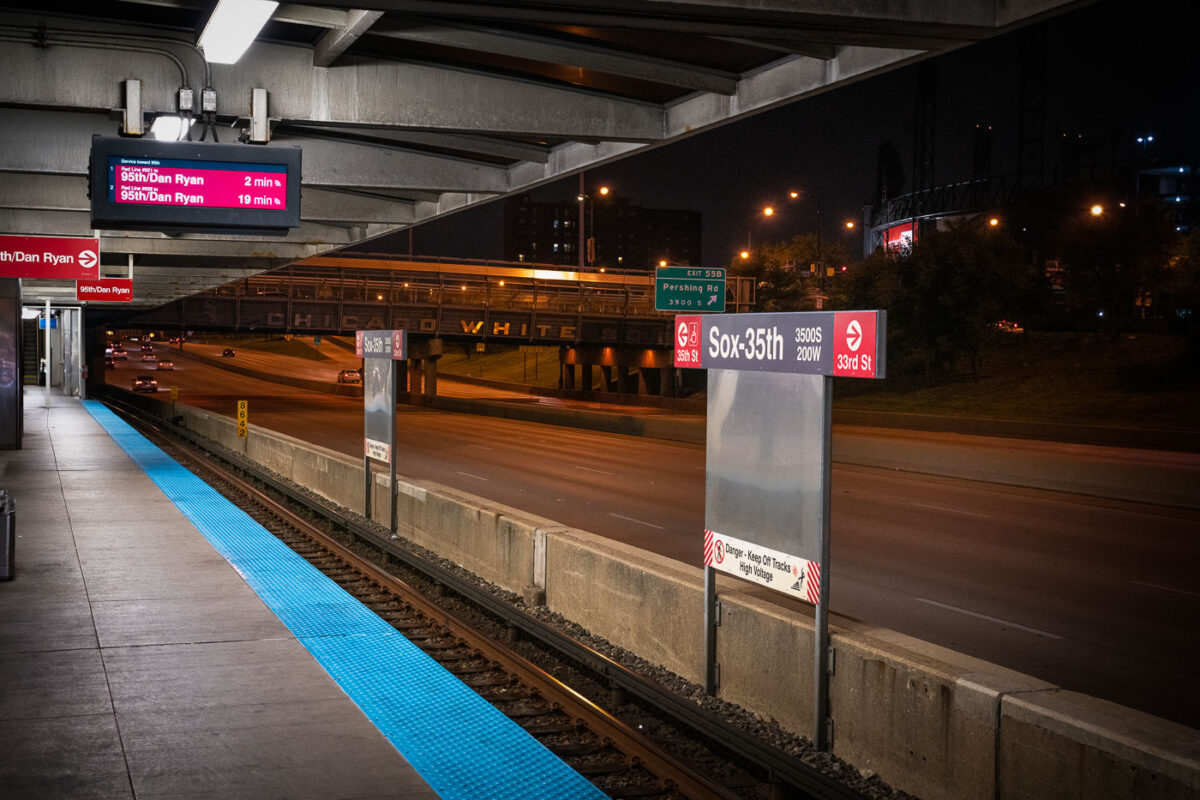
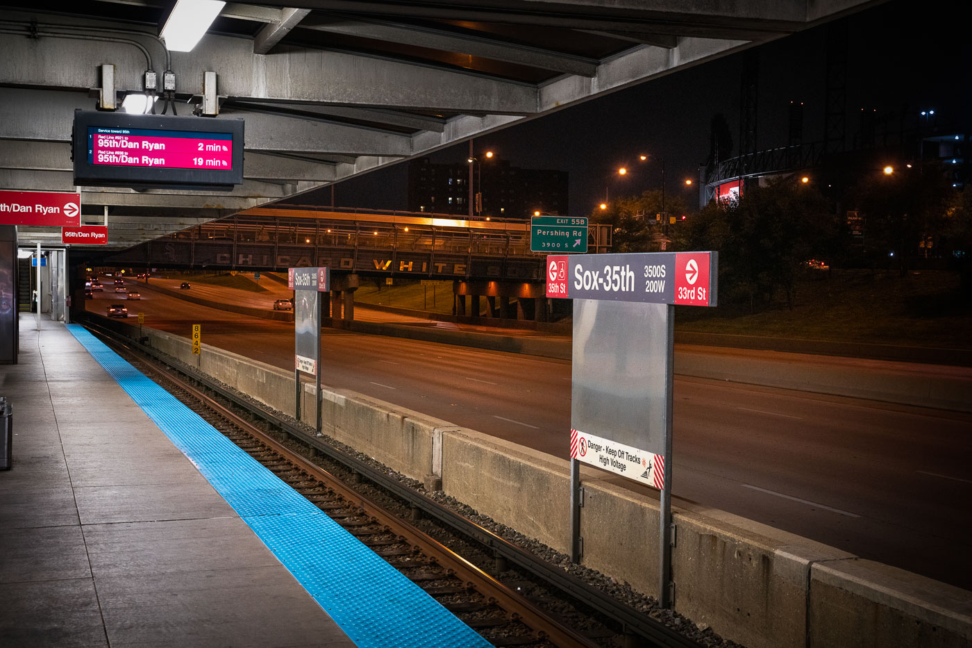
CTA Red Line train departing Sox-35th station above the Dan Ryan Expressway on Chicago's South Side.
The Chicago Transit Authority’s Sox–35th station serves the Red Line on the city’s South Side, positioned above the Dan Ryan Expressway near Pershing Road. The station provides direct access to Guaranteed Rate Field, home of the Chicago White Sox, whose name can be seen across the pedestrian bridge in the background. Opened in 1969 as part of the Dan Ryan branch of the Red Line, the elevated structure was designed for efficiency amid highway traffic, symbolizing mid-century Chicago’s integration of mass transit and freeway infrastructure.

Night View from Sox–35th Station Over the Dan Ryan Expressway
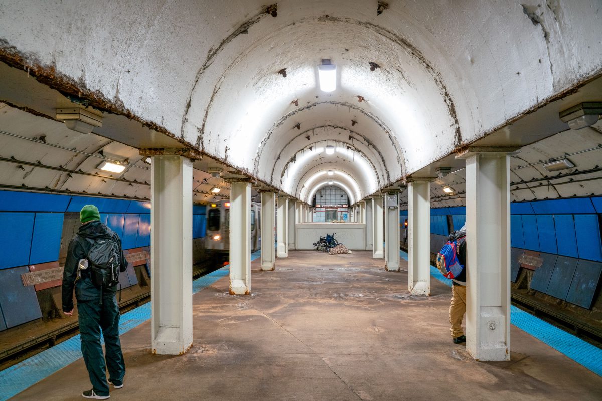
Commuters walk the vaulted platform at State/Lake CTA station in downtown Chicago.
This vaulted platform serves State/Lake station, a CTA Loop stop connecting the Green, Orange, Brown, and Pink lines in downtown Chicago. The station's barrel-arched ceiling and rows of concrete columns date to an earlier era of Chicago's elevated and subway transit construction, distinguishing it from more modern CTA stops. Located near Randolph and State Streets, the station provides access to the Loop's theater and retail district.

Waiting for a Train at State/Lake Station, Chicago
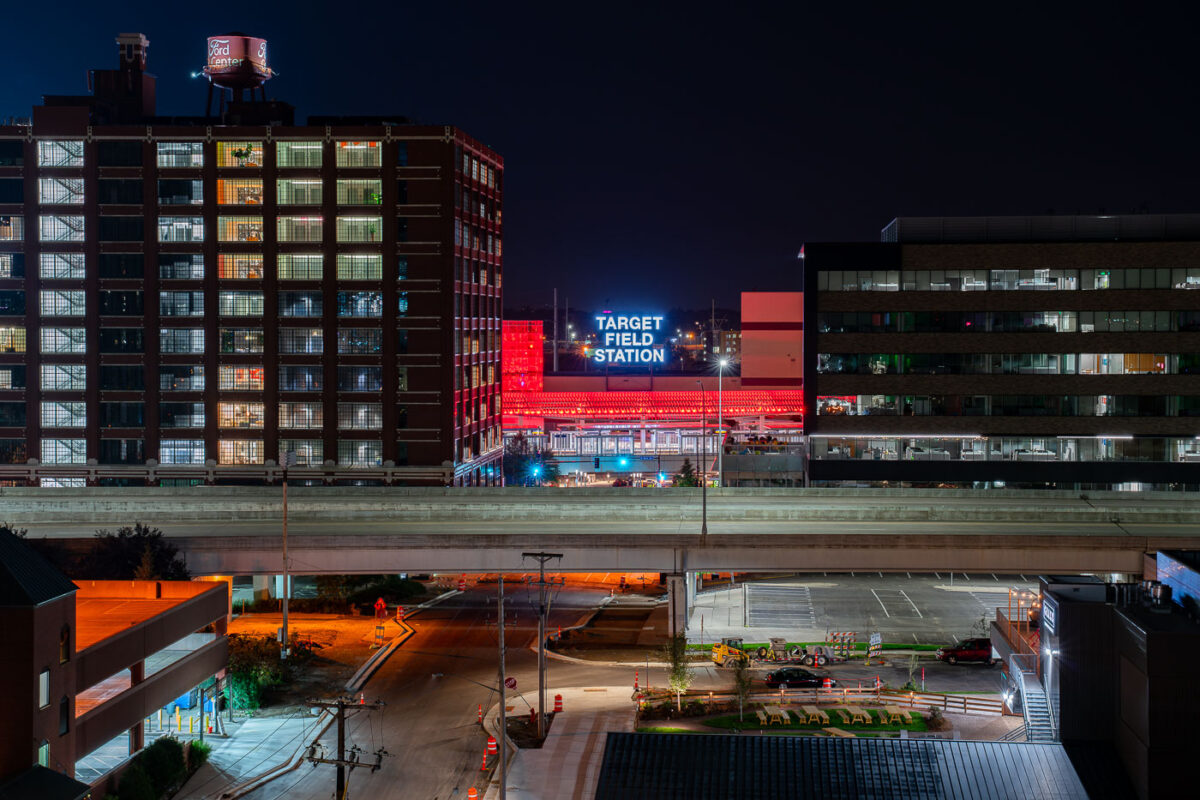
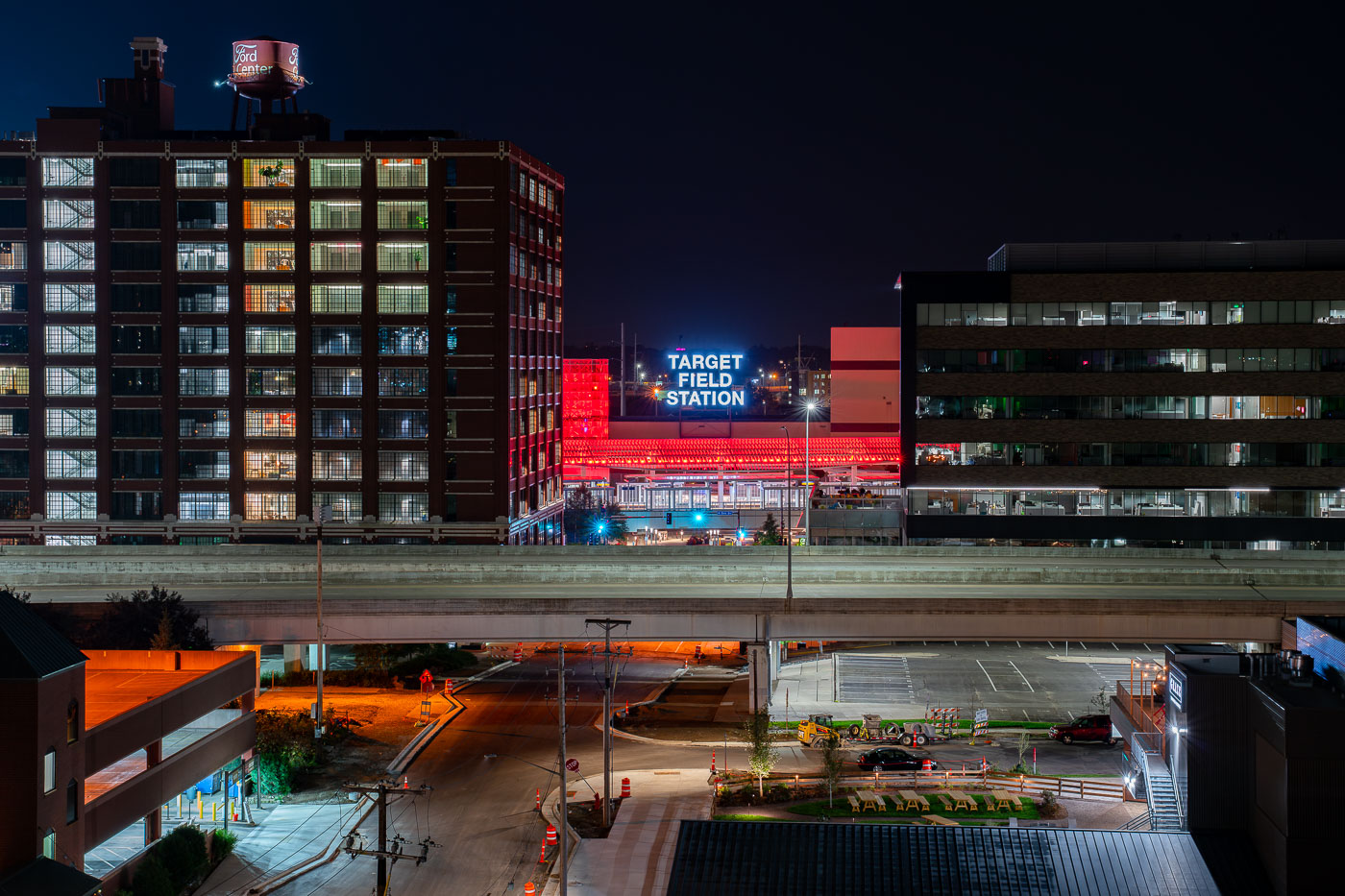
Target Field Station illuminated at night in Minneapolis's North Loop, surrounded by historic and modern buildings.
Target Field Station is a transit hub in the North Loop next to Target Field, home of the Minnesota Twins. It opened in 2014 and brings together the METRO Blue and Green light rail lines, Northstar Commuter Rail, and Metro Transit buses under one roof.

Target Field Station Sign Above the North Loop
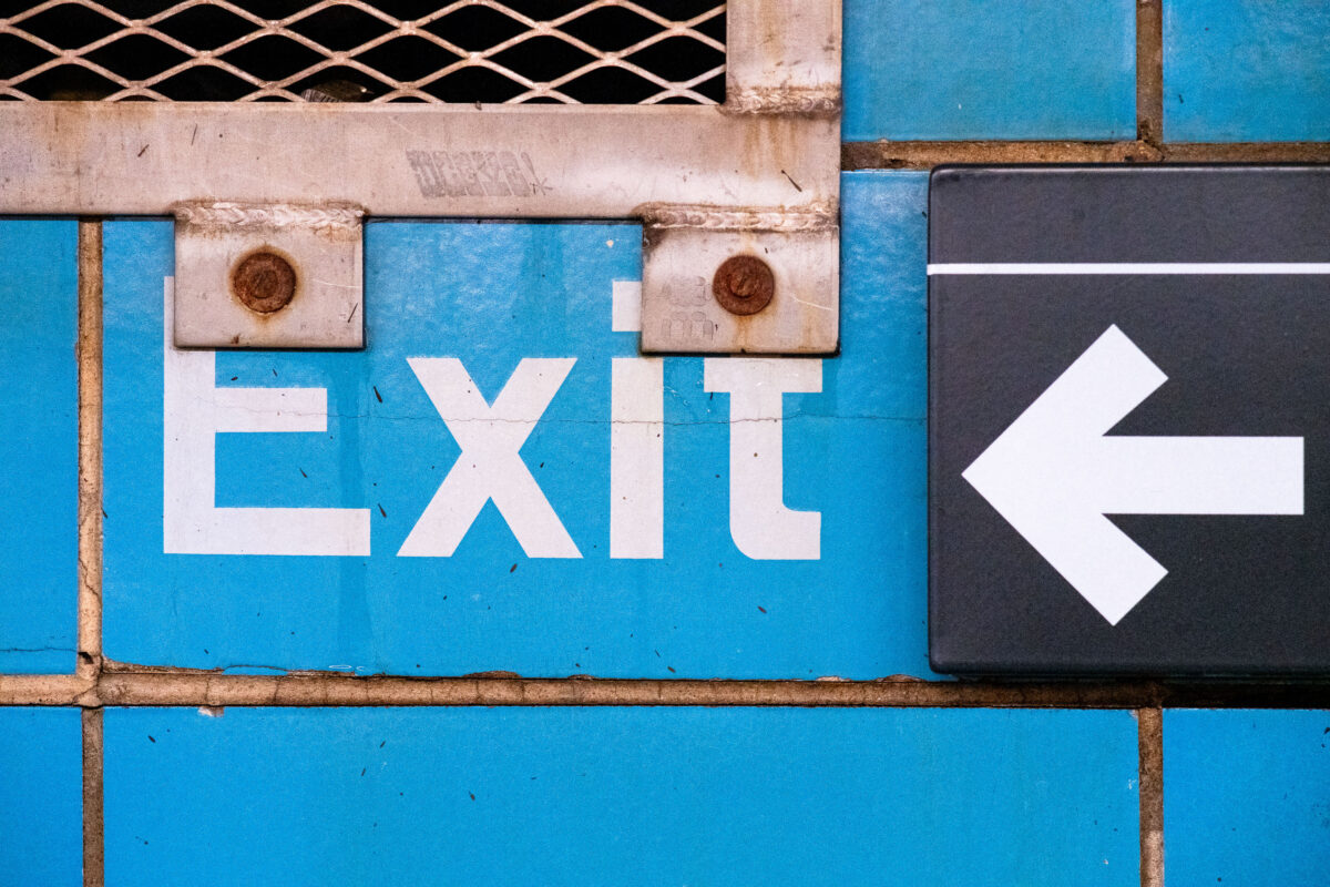
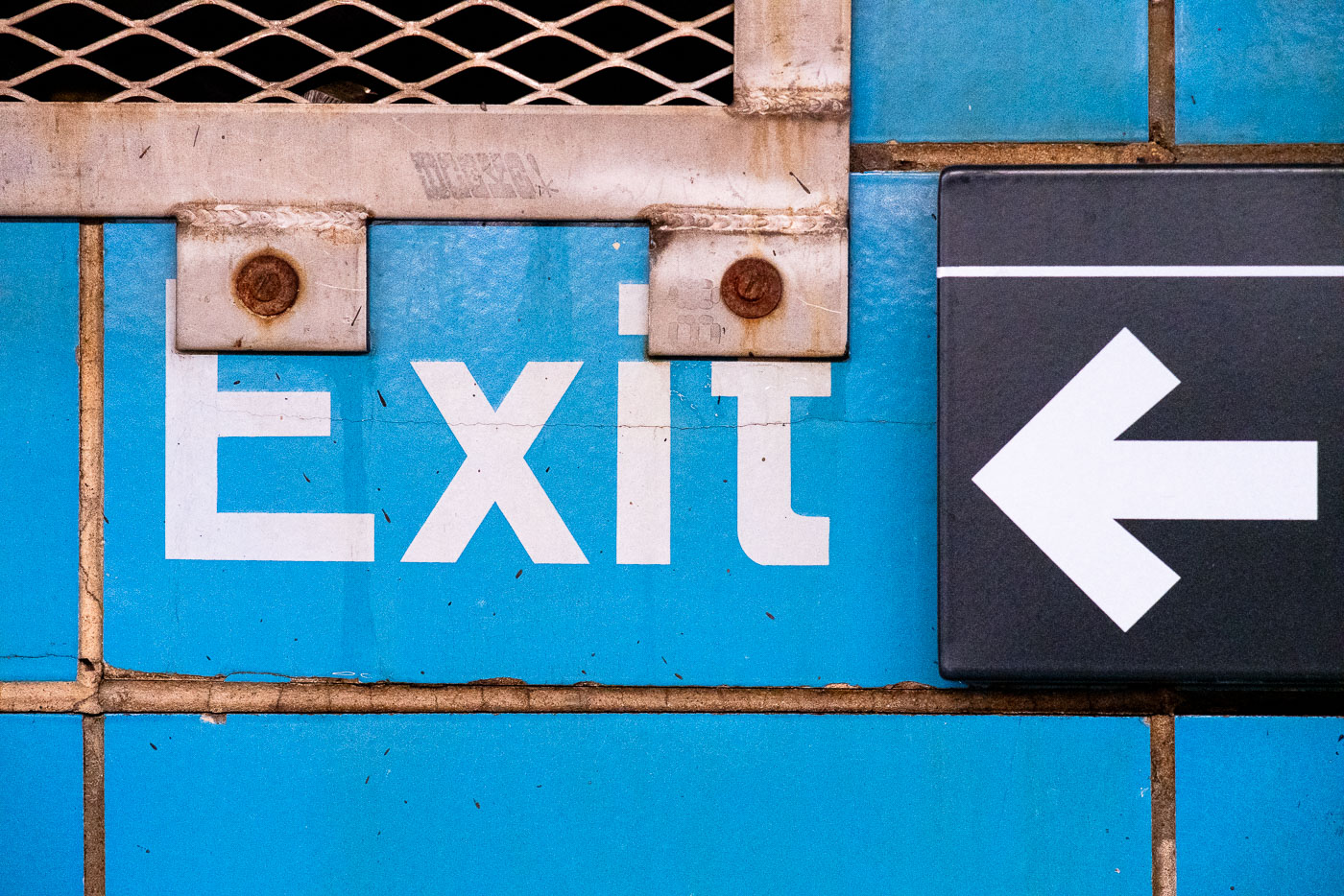
Exit sign with left-pointing arrow at Rector Street subway station in Manhattan.
Exit signage is visible at the Rector Street subway station in Manhattan, New York City. This station, part of the Metropolitan Transportation Authority (MTA) system, serves as a vital transit hub for commuters and visitors.

Exit Sign and Arrow at Rector Street Subway Station
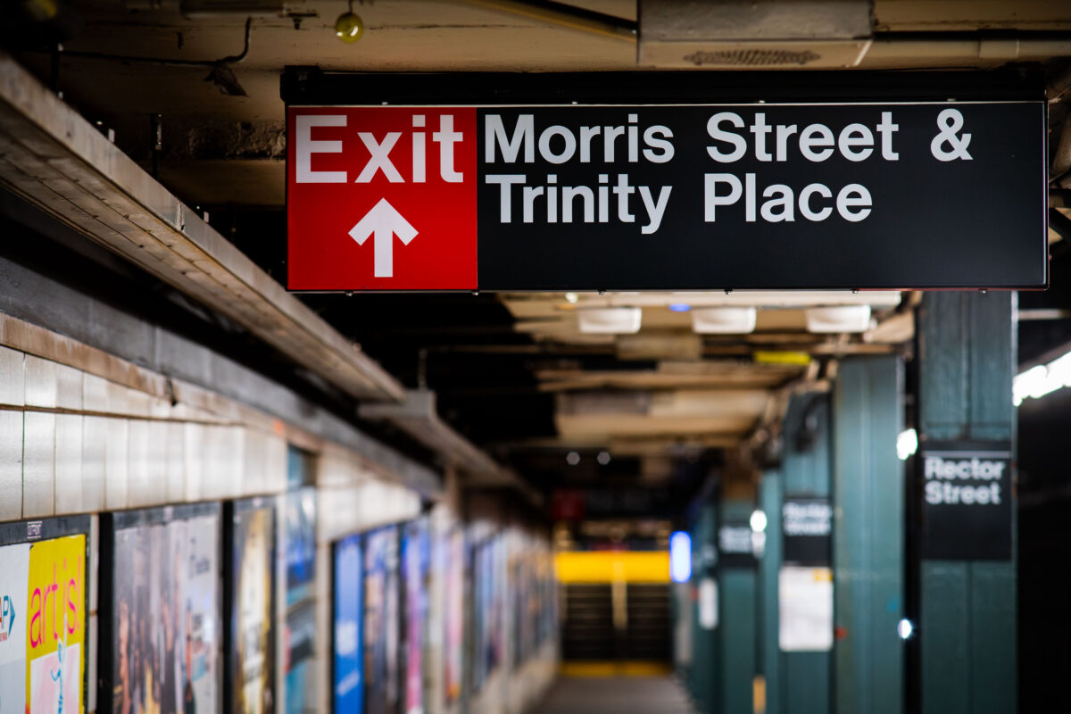
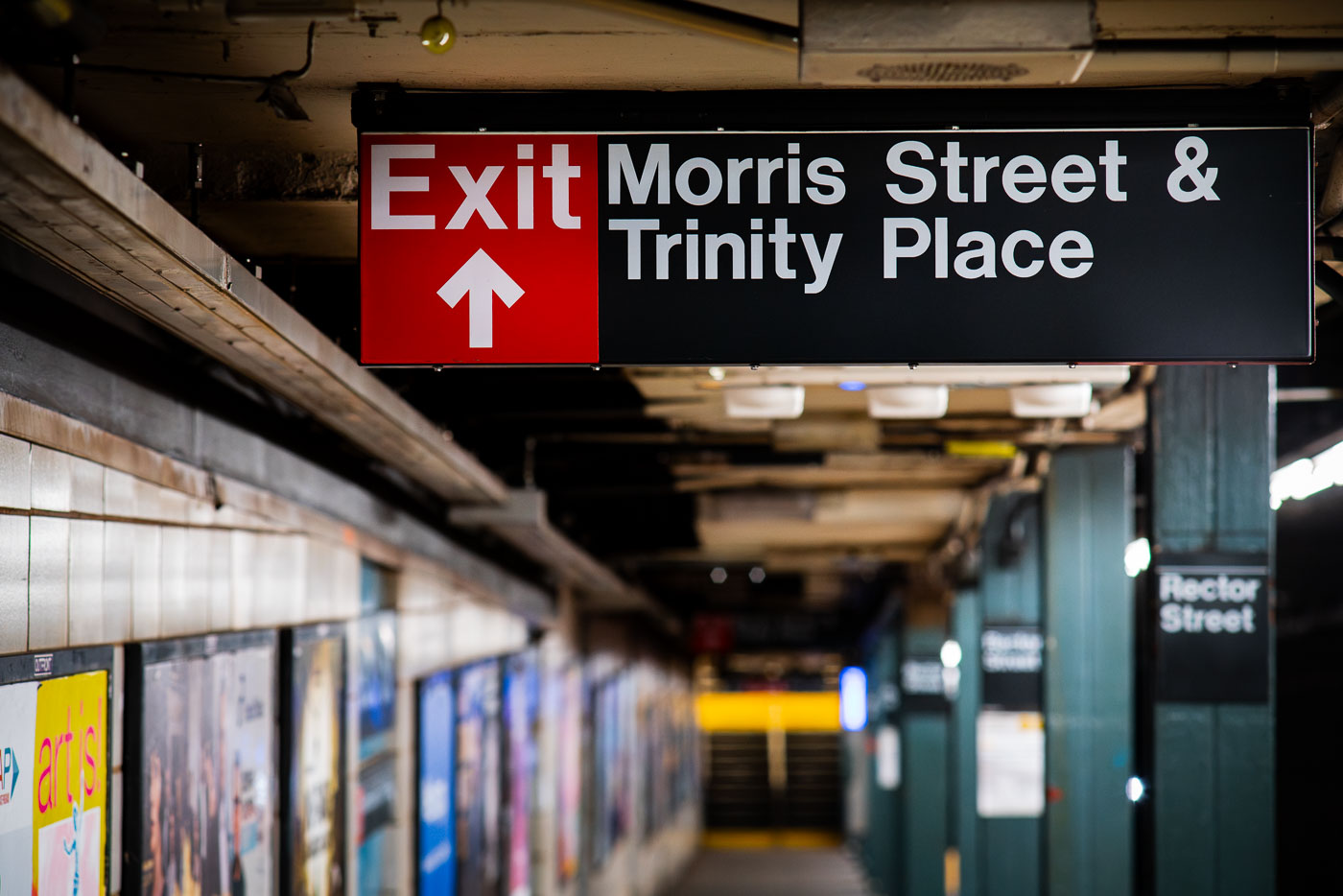
Exit sign at Rector Street subway station directing to Morris Street and Trinity Place in Manhattan.
Rector Street station serves the R train on the Broadway Line, running beneath Broadway in Lower Manhattan. It opened in 1904 as one of the original stations on the city's first subway line, built by the Interborough Rapid Transit Company. The station's exits connect riders to Trinity Place and Morris Street, placing it a short walk from Trinity Church and the New York Stock Exchange. Its platforms and mezzanines still carry much of the original tiling and signage typical of early IRT construction.

Exit Toward Morris Street and Trinity Place at Rector Street Station
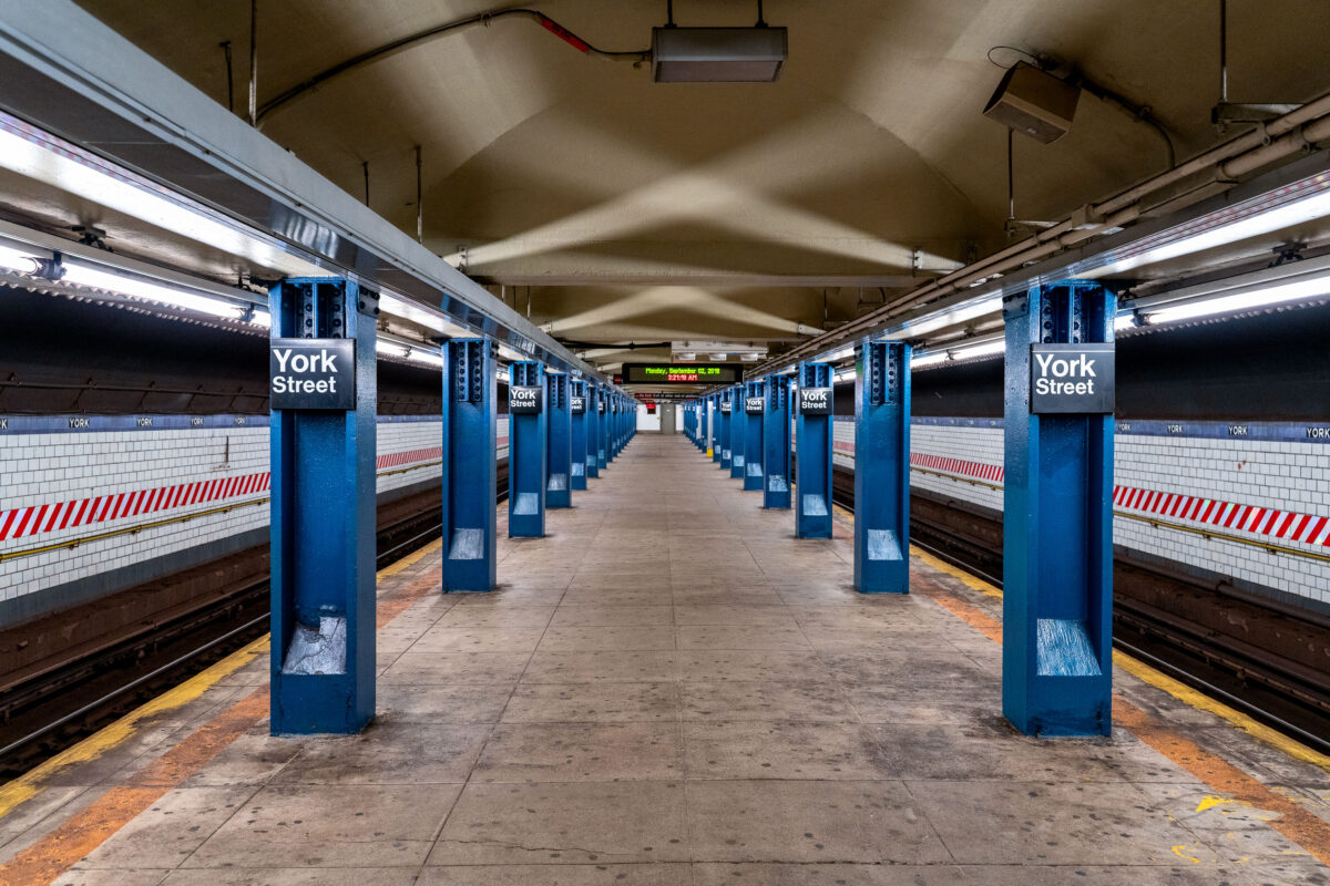
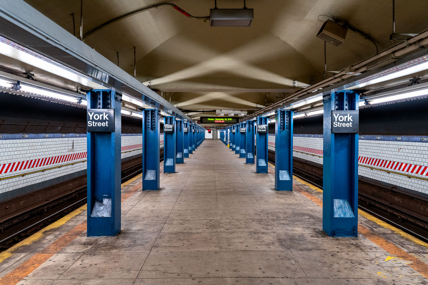
York Street subway station platform in Brooklyn with blue columns and fluorescent lighting.
The York Street subway station, located in the DUMBO neighborhood of Brooklyn, New York, serves the F and M trains. Opened in 1931, it is one of the deepest subway stations in the New York City Subway system.

Repeating Blue Columns Along the Platform at York Street Station
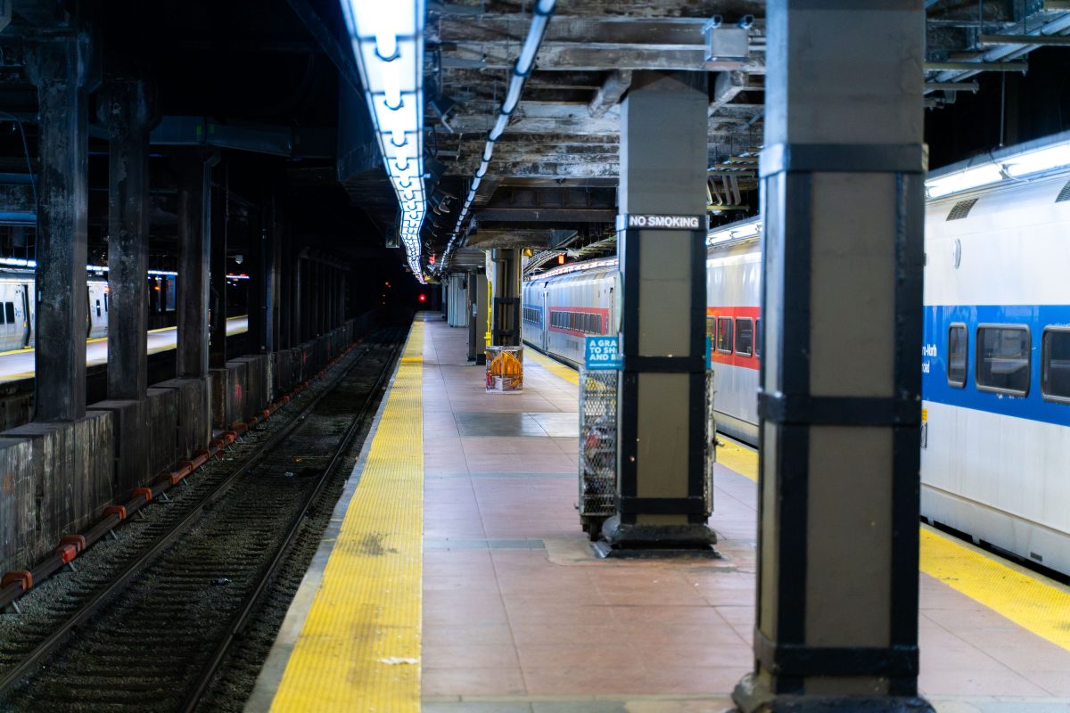
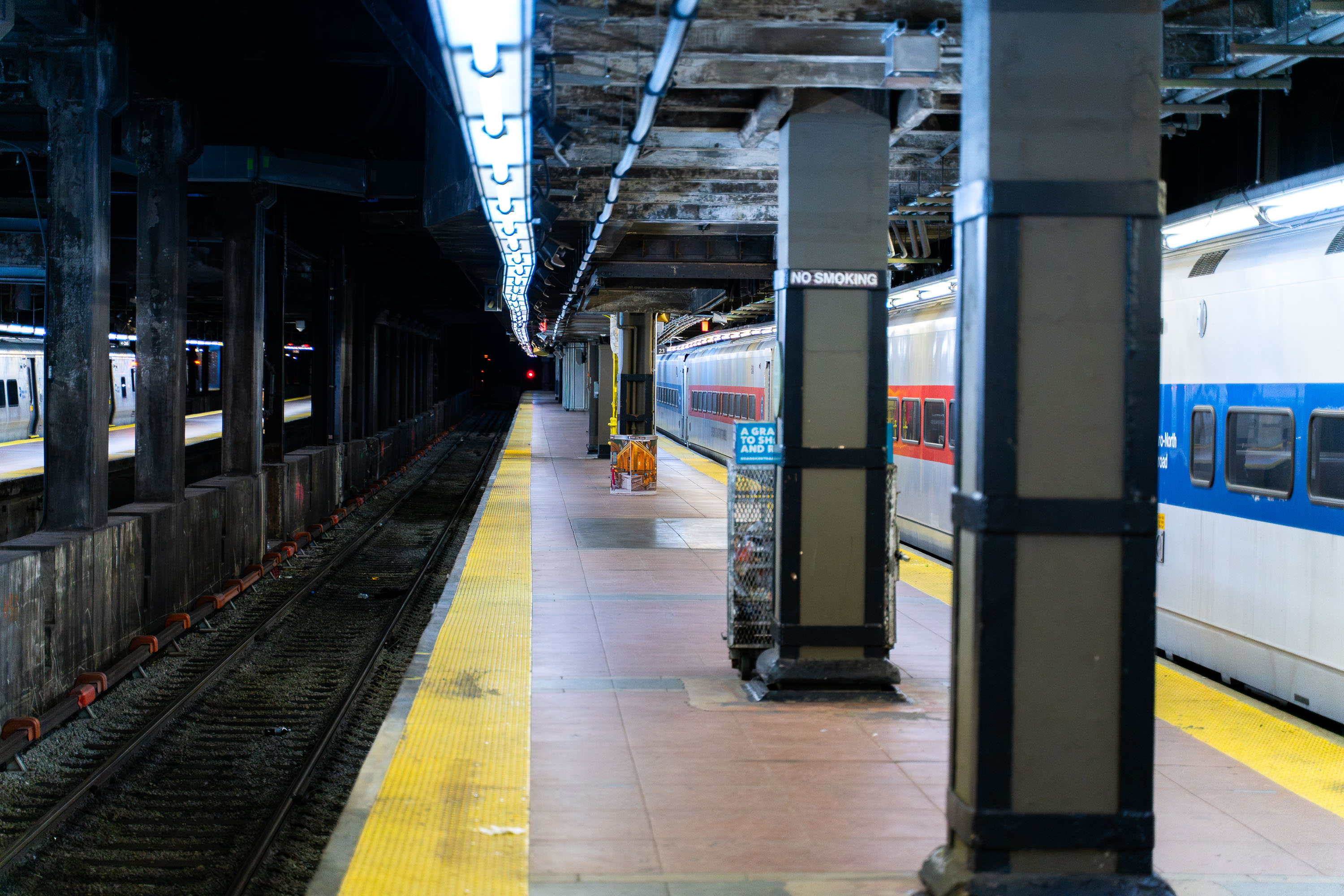
Metro-North Railroad platform at Grand Central Terminal in New York City with commuter trains at the station.
Grand Central Terminal opened in 1913 as the flagship station of the New York Central Railroad, replacing an earlier depot on the same site at 42nd Street and Park Avenue. Today the terminal serves as the southern terminus for the Metro-North Railroad, which operates commuter service on the Hudson, Harlem, and New Haven lines into the northern suburbs and Connecticut. The station's lower level, built to separate suburban and long-distance traffic, houses additional platforms below the main concourse. Metro-North alone carries tens of millions of passengers a year through the terminal, making it one of the busiest rail hubs in the country.

Empty Platform Below Grand Central Terminal’s Lower Level
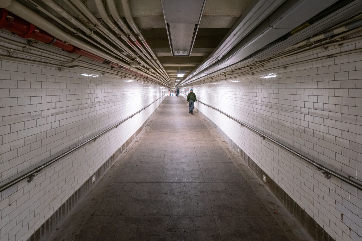
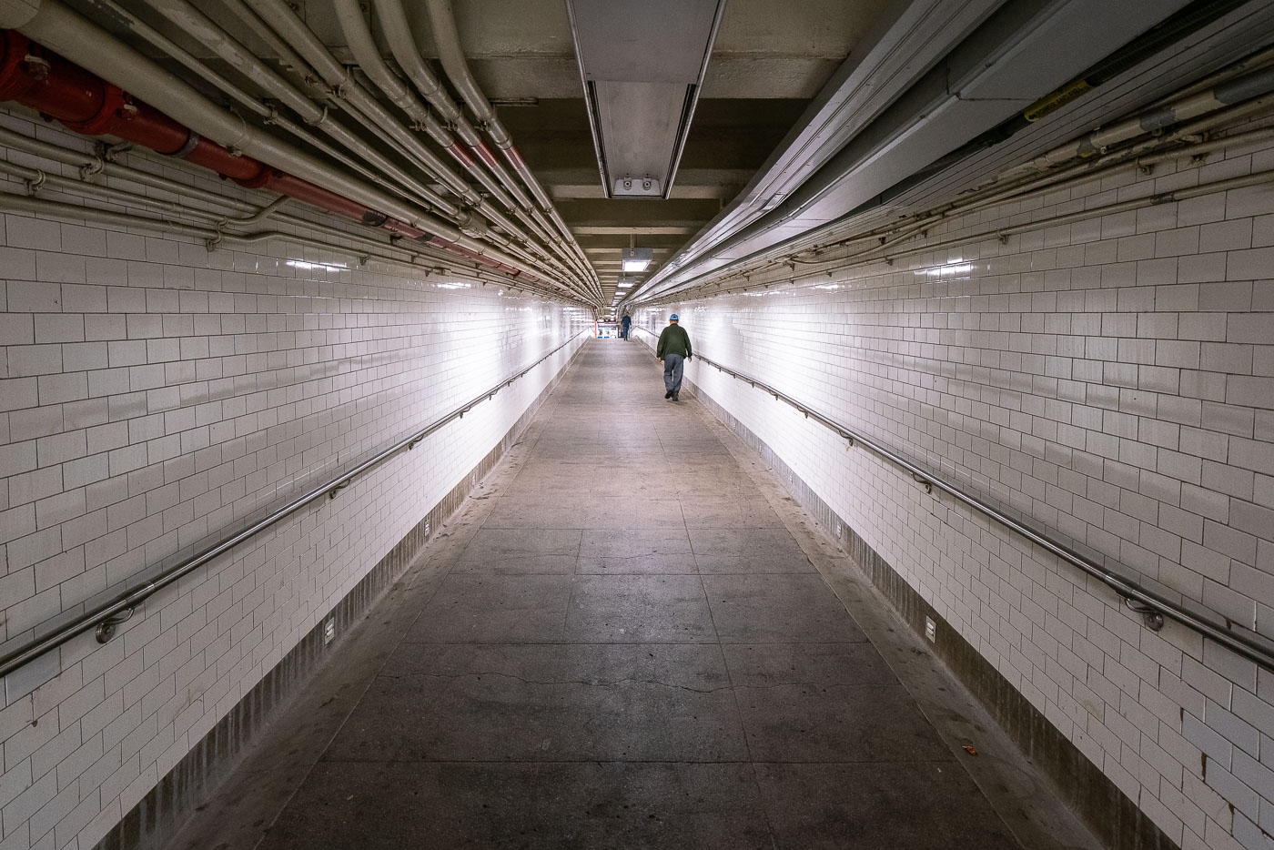
A solitary pedestrian walks through a white-tiled New York City subway tunnel with overhead pipes and conduits.
A lone figure walks through a long, tiled tunnel in the New York City Subway system, with numerous pipes and conduits visible overhead.

Lone Commuter in a Tiled Subway Passageway
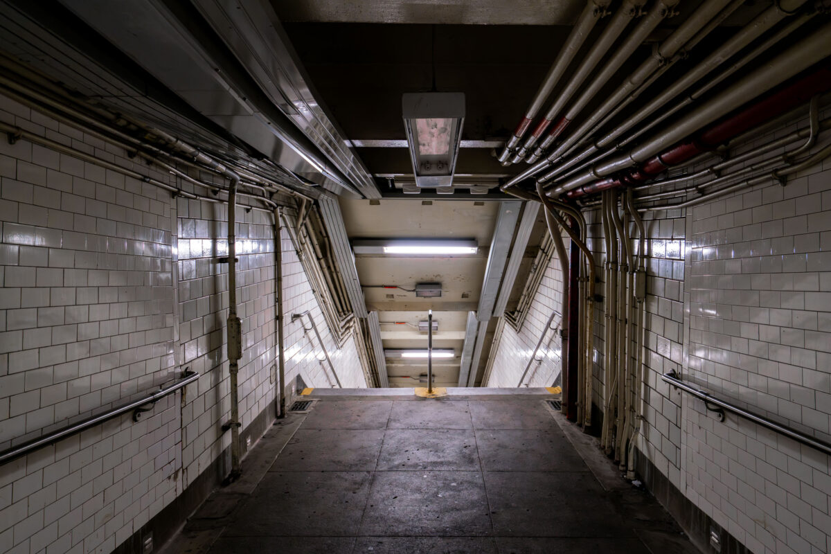
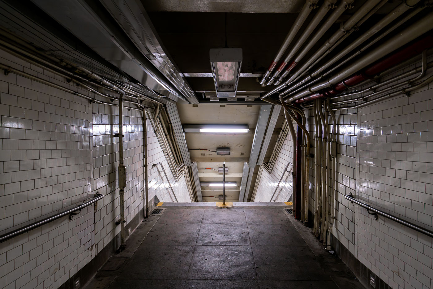
Descending stairway in a New York City subway station with white tile walls and exposed overhead piping.
A dimly lit stairway descends into a New York City subway station, revealing extensive exposed piping and tiled walls characteristic of aging transit infrastructure.

Tiled Stairwell and Overhead Pipes in an NYC Subway Passage
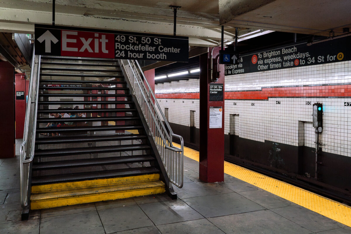
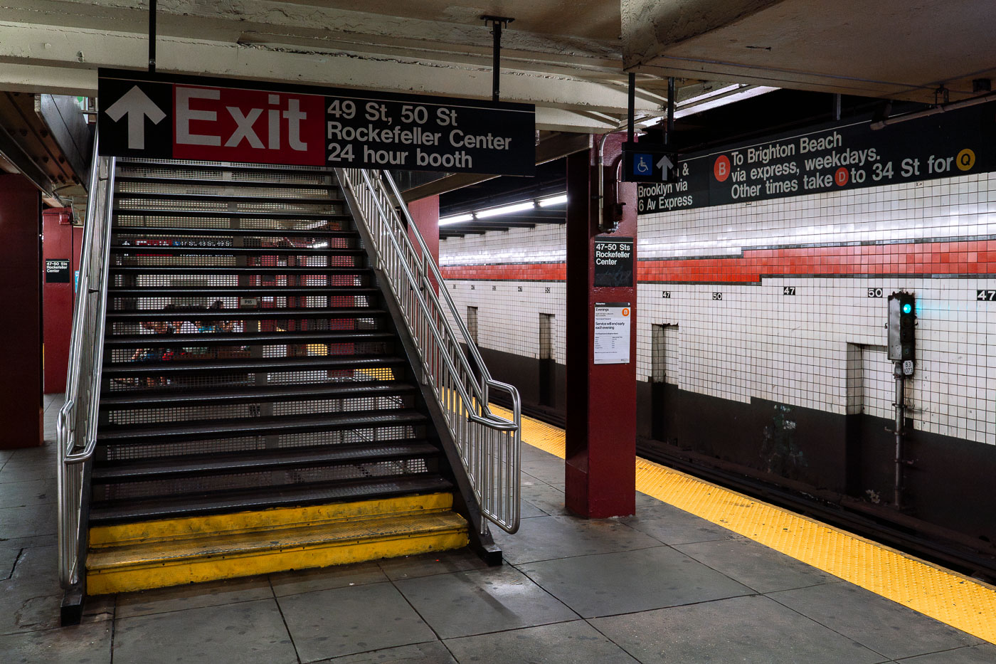
Exit staircase at 49-50 Streets Rockefeller Center subway station in Manhattan.
A staircase with metal railings and yellow-striped steps leads to an "Exit" sign for the 49-50 Streets Rockefeller Center subway station, which includes a 24-hour booth. The station serves the B, D, F, and M lines, with signage indicating routes to Brighton Beach and 34th Street.

Platform View of the 47-50 Sts Rockefeller Center Subway Station
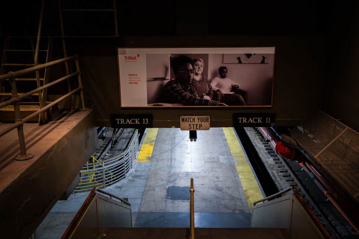
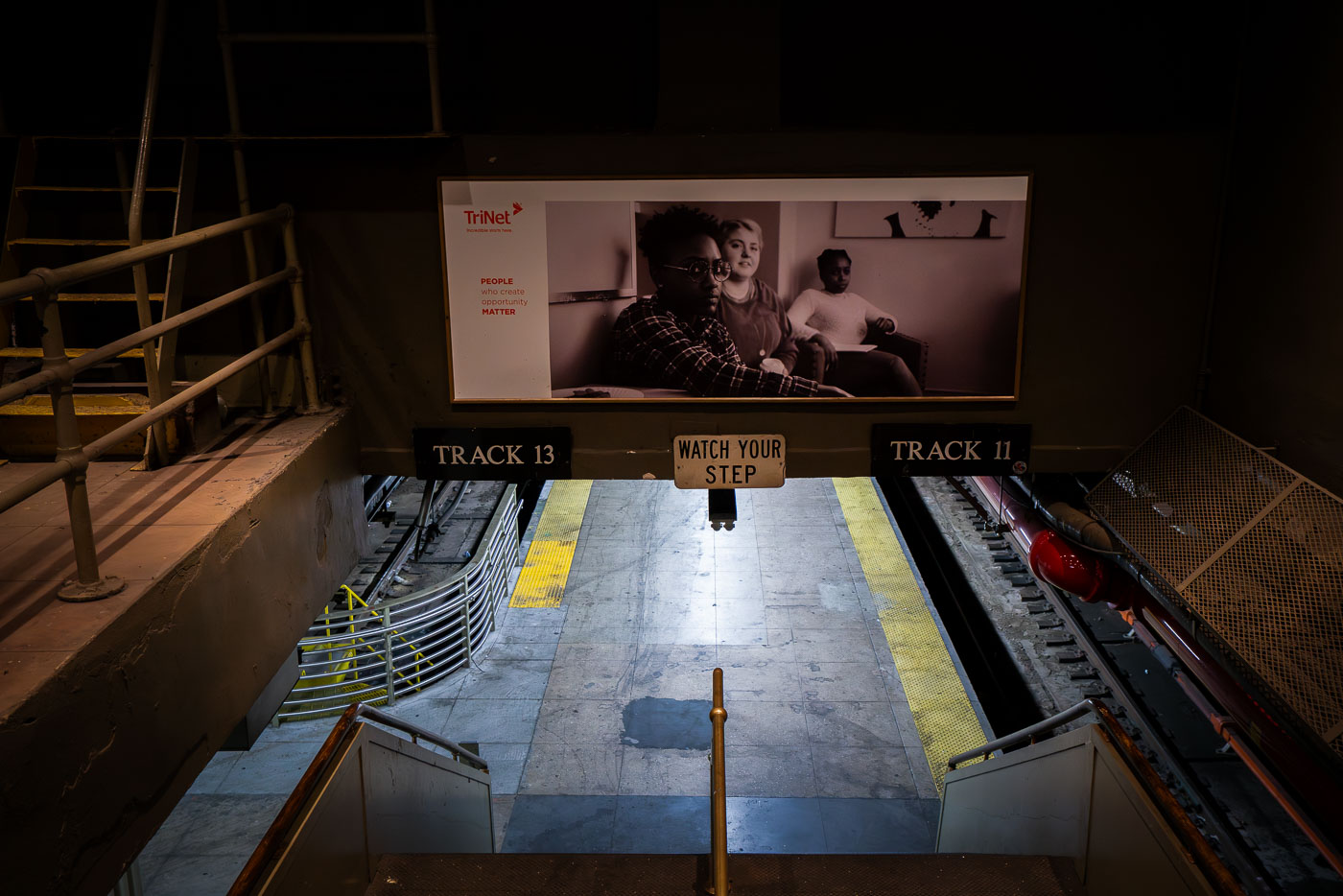
Penn Station platform between Tracks 11 and 13 with TriNet advertisement screen above.
A stairway leads down to the train platforms for Tracks 11 and 13 at Penn Station in Manhattan.

Stairway Down to Tracks 11 and 13 at Penn Station
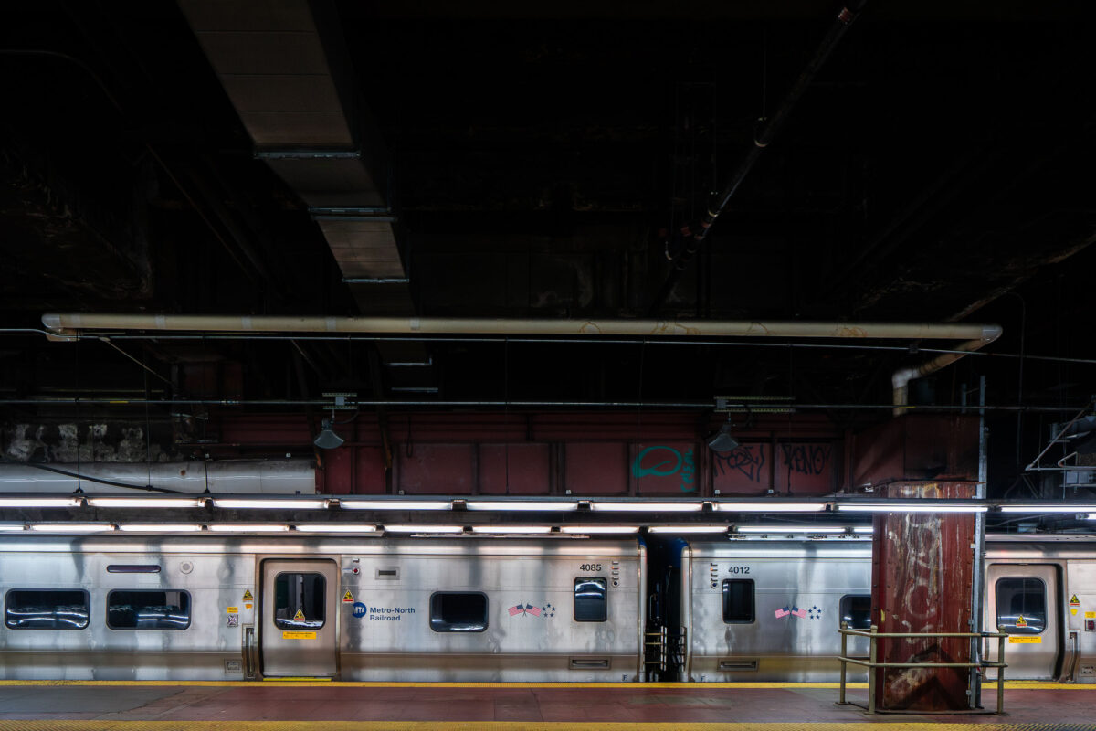
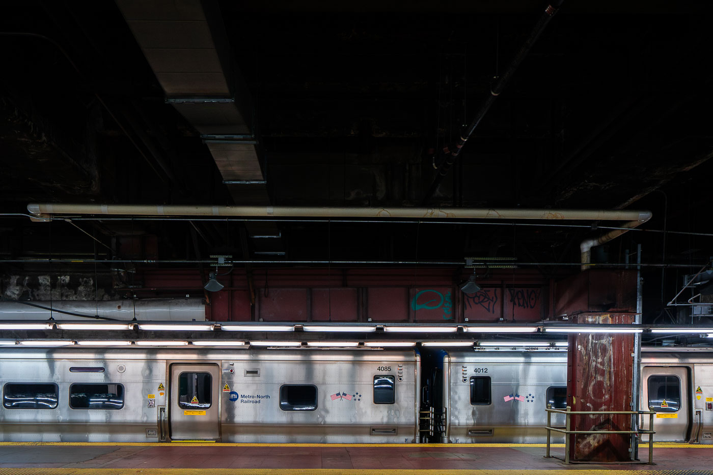
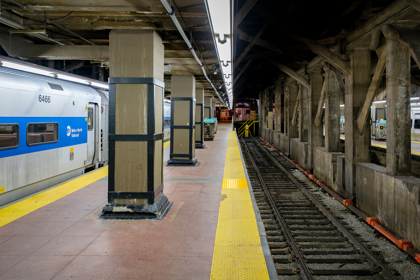
Metro-North Railroad commuter train at Grand Central Terminal platform in Manhattan.
A Metro-North Railroad train sits at a platform inside Grand Central Terminal in Manhattan. The stainless-steel cars reflect the dim lighting of the underground station, where exposed pipes and graffiti-marked beams highlight the aging infrastructure of the busy commuter hub.

Metro-North Railcars on the Platform, Grand Central Terminal
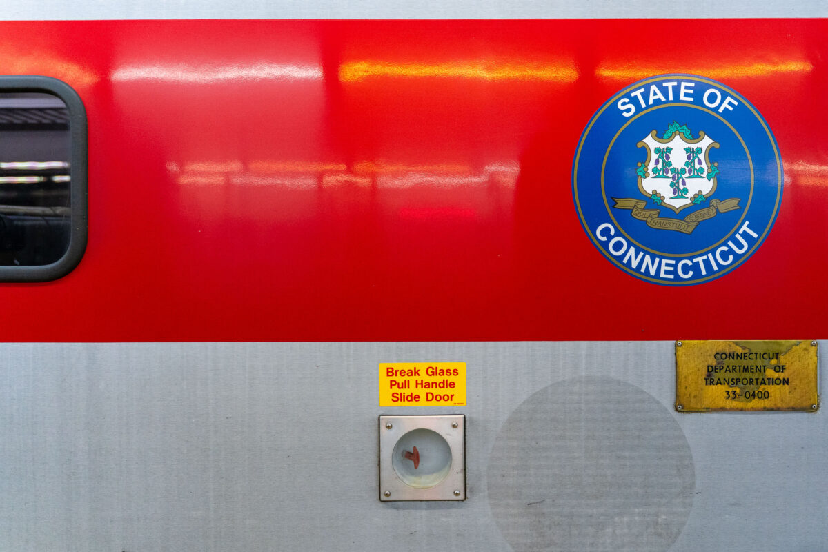
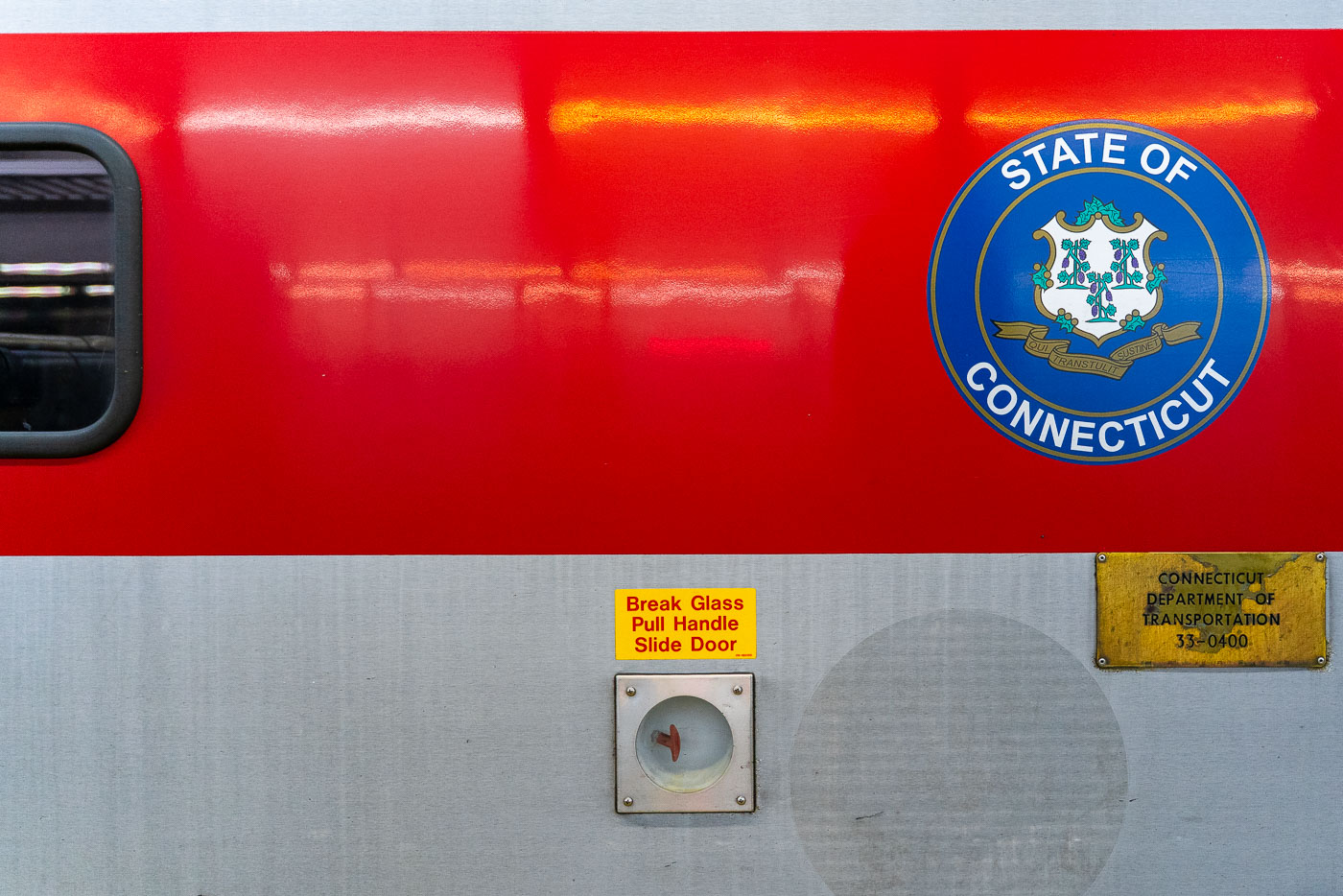
State of Connecticut seal displayed on the side of a red Metro-North Railroad commuter train car.
A Connecticut state seal is displayed on the side of a Metro-North Railroad train car, operated in partnership with the Connecticut Department of Transportation. The red-and-silver exterior includes safety instructions and signage, highlighting the regional rail system that connects commuters between New York and Connecticut.

Connecticut DOT Seal on a Metro-North Railcar
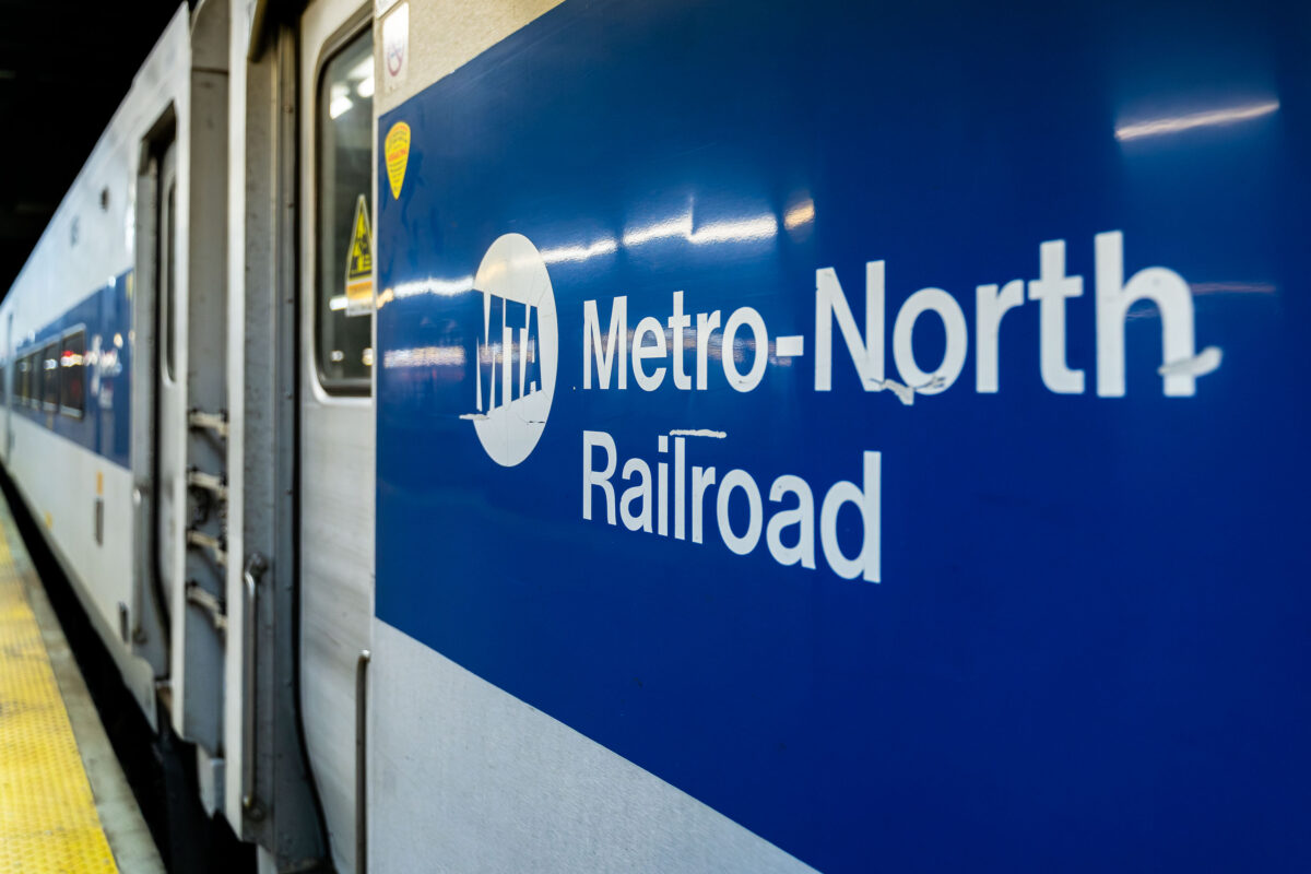
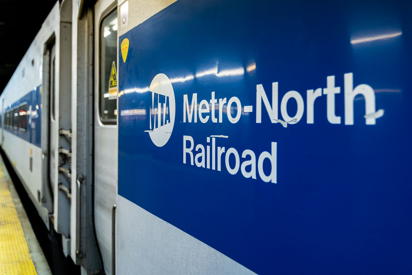
Metro-North Railroad commuter train with blue-and-white livery at a New York station platform.
A Metro-North Railroad train is seen at a station platform, its blue-and-white exterior bearing the MTA logo. The commuter rail line, operated by the Metropolitan Transportation Authority, connects New York City with suburbs across New York State and Connecticut.

Metro-North Railroad Car on the Platform at Grand Central
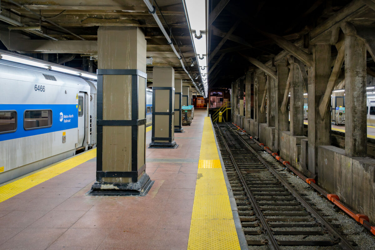
Metro-North Railroad train at platform inside Grand Central Terminal in Manhattan.
A Metro-North Railroad train waits at a platform inside Grand Central Terminal in Manhattan.

Metro-North Train at the Platform in Grand Central Terminal

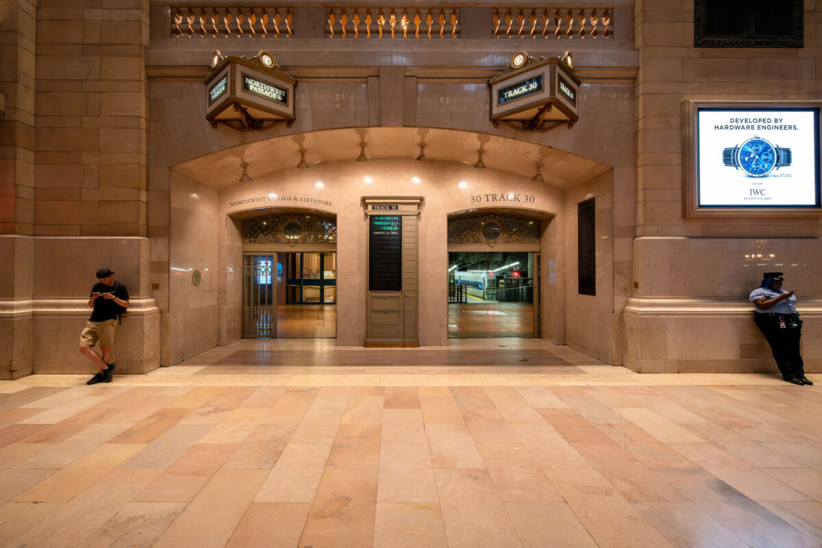
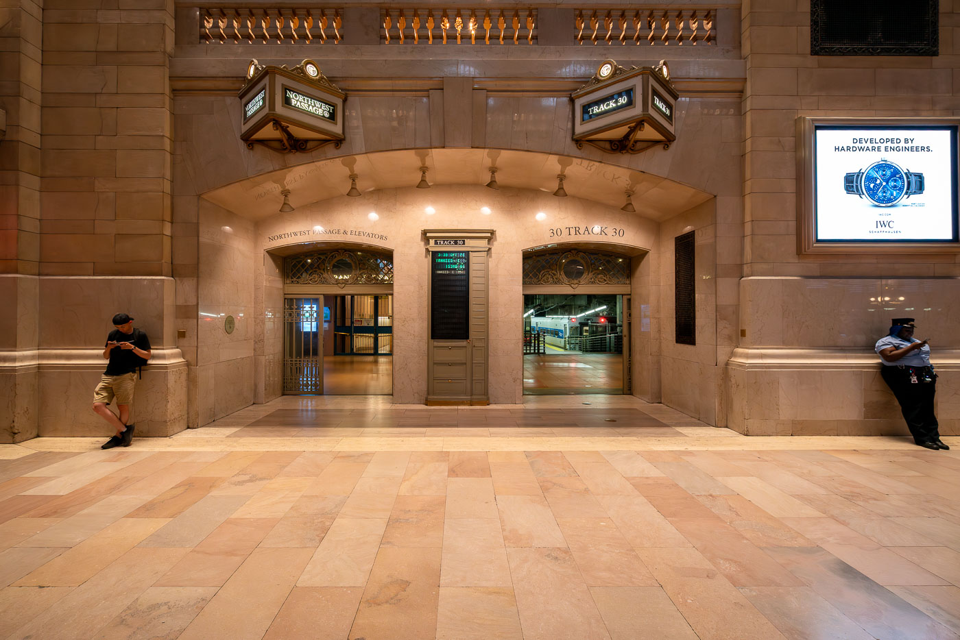
NYPD officer stands in the marble corridor leading to Track 30 at Grand Central Terminal in Manhattan.
The entrance to Track 30 inside Grand Central Terminal in Manhattan is seen at night. The marble hallways of the landmark station lead to the train platforms below, as a commuter and a security officer stand near the archways beneath illuminated signs.

Track 30 Entrance at Grand Central Terminal
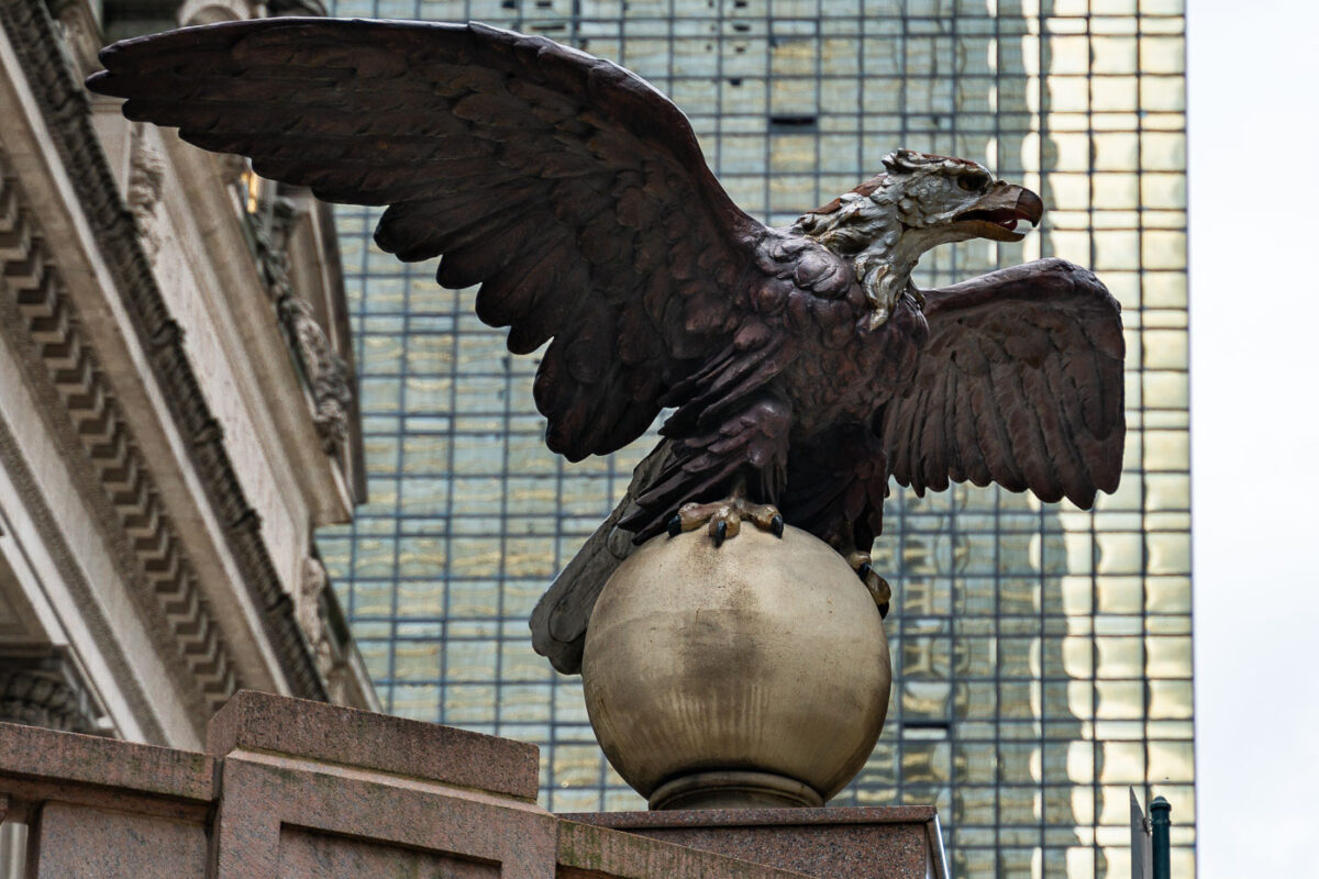
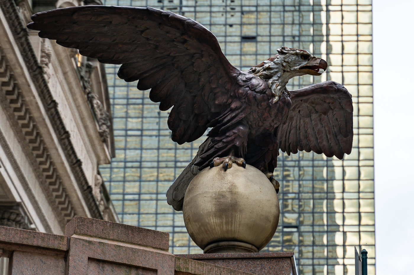
Bronze eagle sculpture perched on a sphere outside Grand Central Terminal in Manhattan.
An eagle statue perched on a globe stands outside Grand Central Terminal in Manhattan. The bronze sculpture, one of several around the historic landmark, looks out over Midtown with the glass facade of the MetLife Building rising in the background.
Eagle Statue Outside Grand Central Terminal
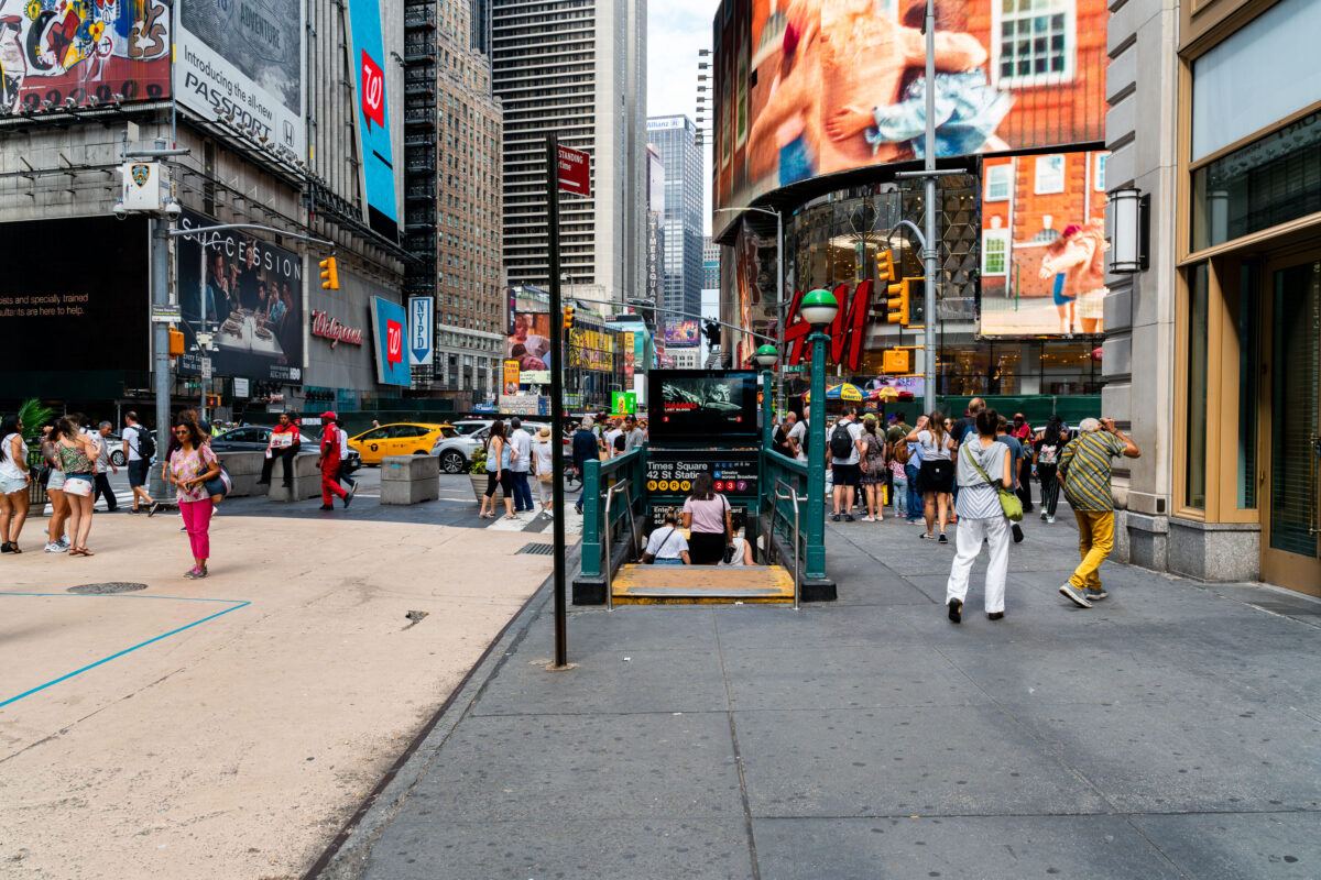
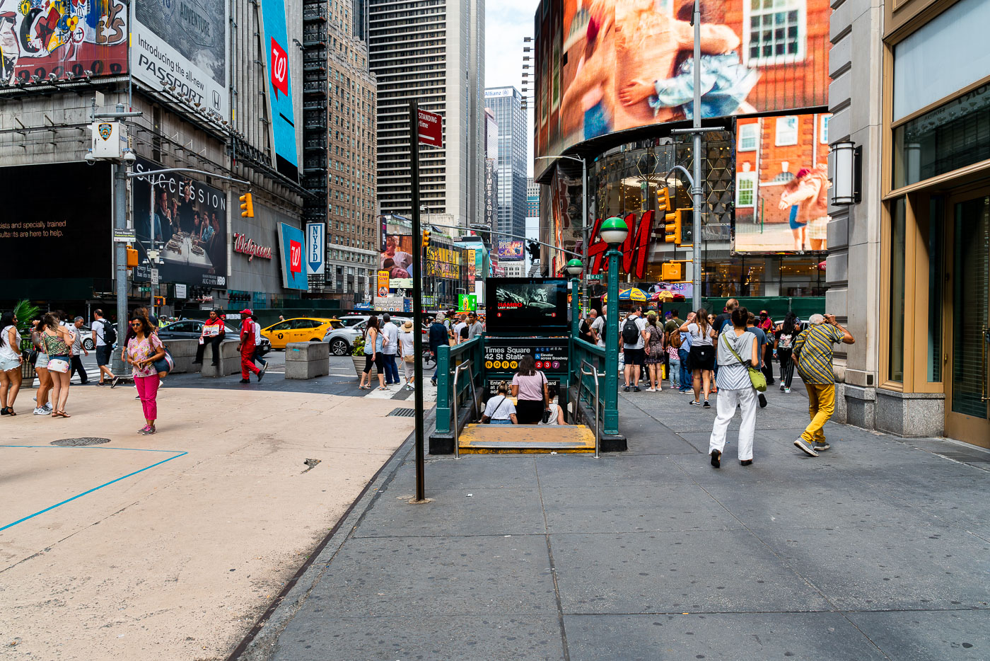
Pedestrians gather around the 42nd Street–Times Square subway station entrance on a busy Manhattan street.
The 42nd Street–Times Square station, a major transit hub in Manhattan, serves as a critical connection point for multiple subway lines. This station, one of the busiest in New York City, is situated beneath the vibrant commercial and entertainment district of Times Square.

Crowds Entering the 42nd St-Times Square Subway Station

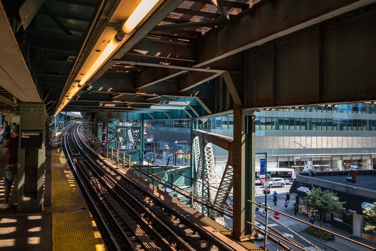
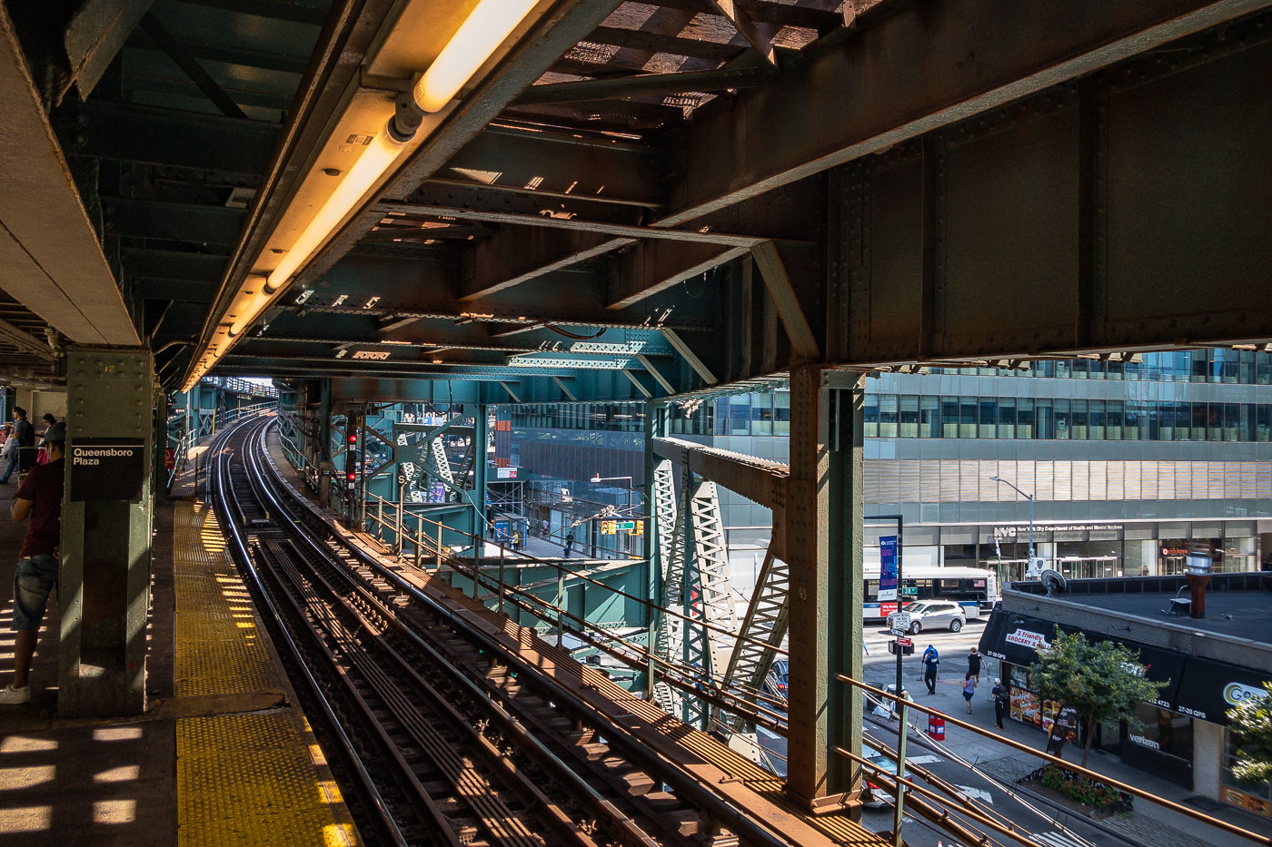
Queensboro Plaza elevated train station platform with steel trusswork, tracks, and Manhattan skyline visible beyond.
Queensboro Plaza elevated train station in Long Island City, Queens, New York City. The station features multiple tracks and platforms, with the distinctive green and steel structure of the elevated railway overhead. This station is a key transit hub, serving as a transfer point for the 7 train and formerly for the Long Island Rail Road. Its construction and ongoing operation are integral to the connectivity of Queens with Manhattan and the rest of the city's transit network.

Elevated Tracks Curve Toward Long Island City at Queensboro Plaza

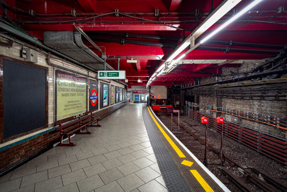
Baker Street Station's Metropolitan Line platform in London features Victorian brick walls, red ceiling, yellow safety lines, and modern fluorescent lighting along the empty track.
Baker Street Station’s Metropolitan Line platform in London is one of the oldest surviving sections of the Underground. The platform retains Victorian-era brickwork and tunnel fabric alongside modern lighting, safety markings, and service signage.

Chiltern Court Sign on the Platform at Baker Street Station

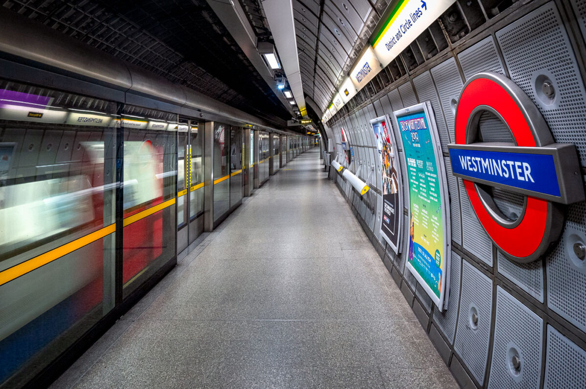
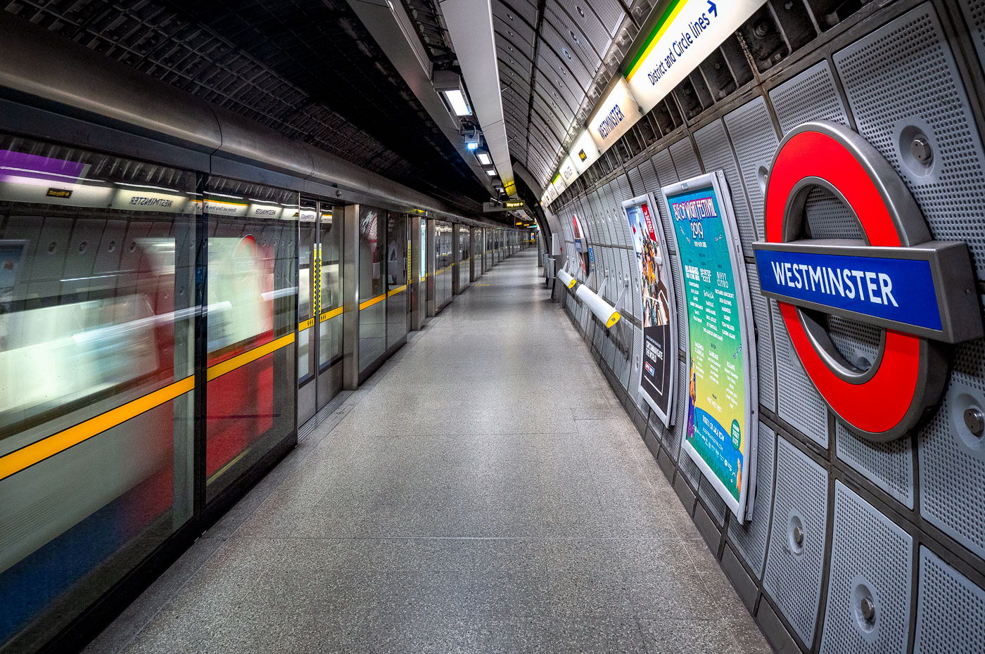
Westminster Station platform on the London Underground Jubilee Line with a train stopped at full-height screen doors and curved aluminum wall panels.
Westminster Station on the Jubilee Line in London features a deep-level platform with full-height screen doors and curved aluminium wall panels. Designed by Foster + Partners for the Jubilee Line Extension, the station opened in 1999 and serves Westminster in central London.
Train Arriving at Westminster Station’s Jubilee Line Platform

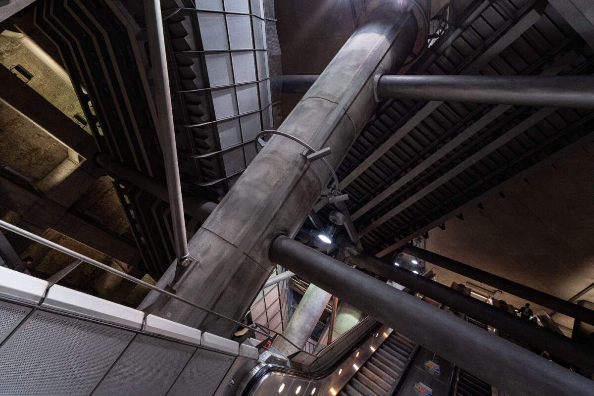
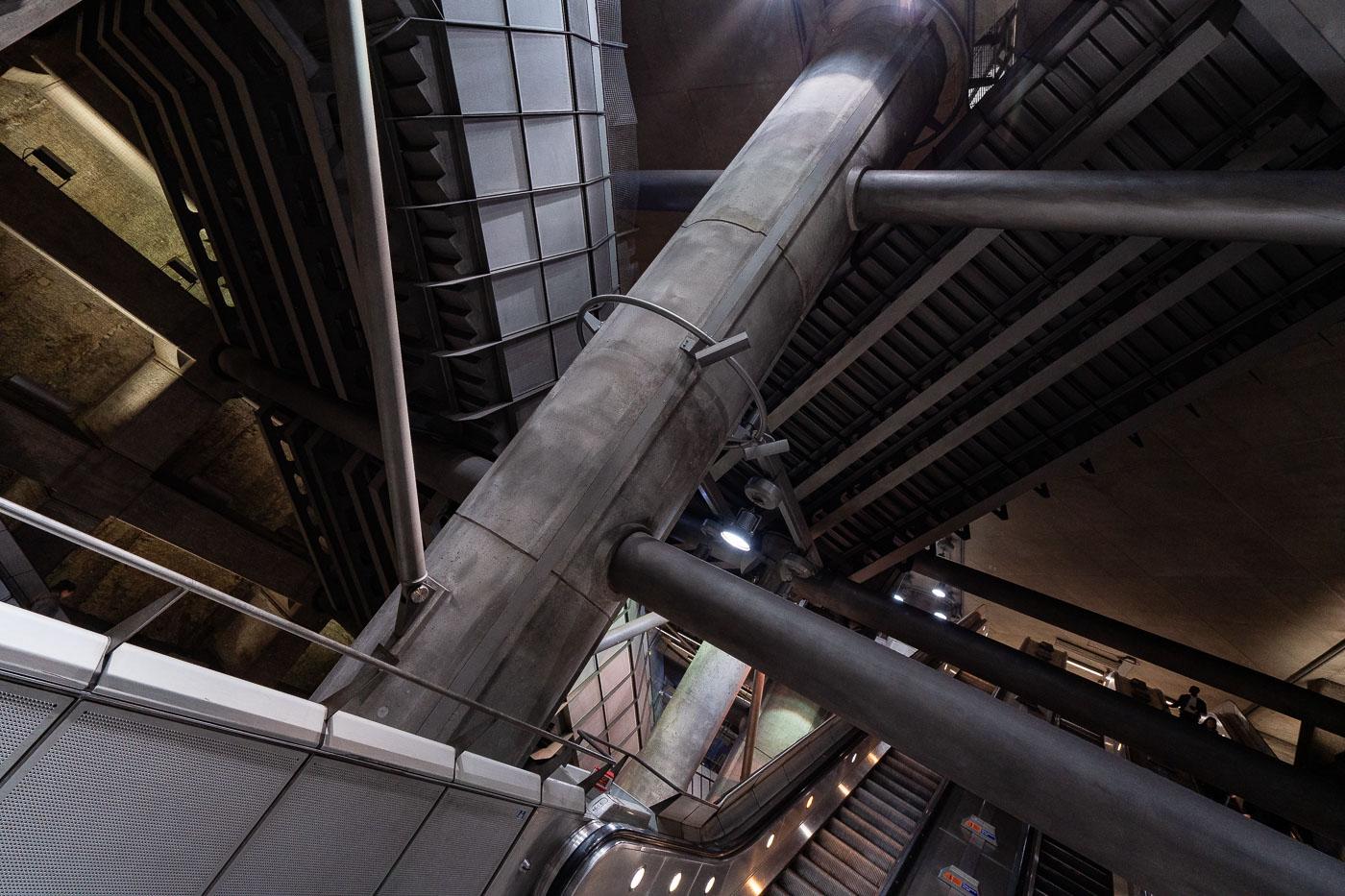
Westminster Station escalator hall on the London Underground Jubilee line features curved white walls, fluorescent lighting, and metal handrails.
Westminster Station in London features the Jubilee line extension concourse and escalator hall. The station was rebuilt in the 1990s as part of the line extension to serve the Underground interchange near Parliament Square.

Steel Structure of Westminster Station’s Escalator Hall
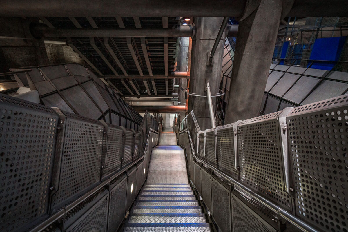
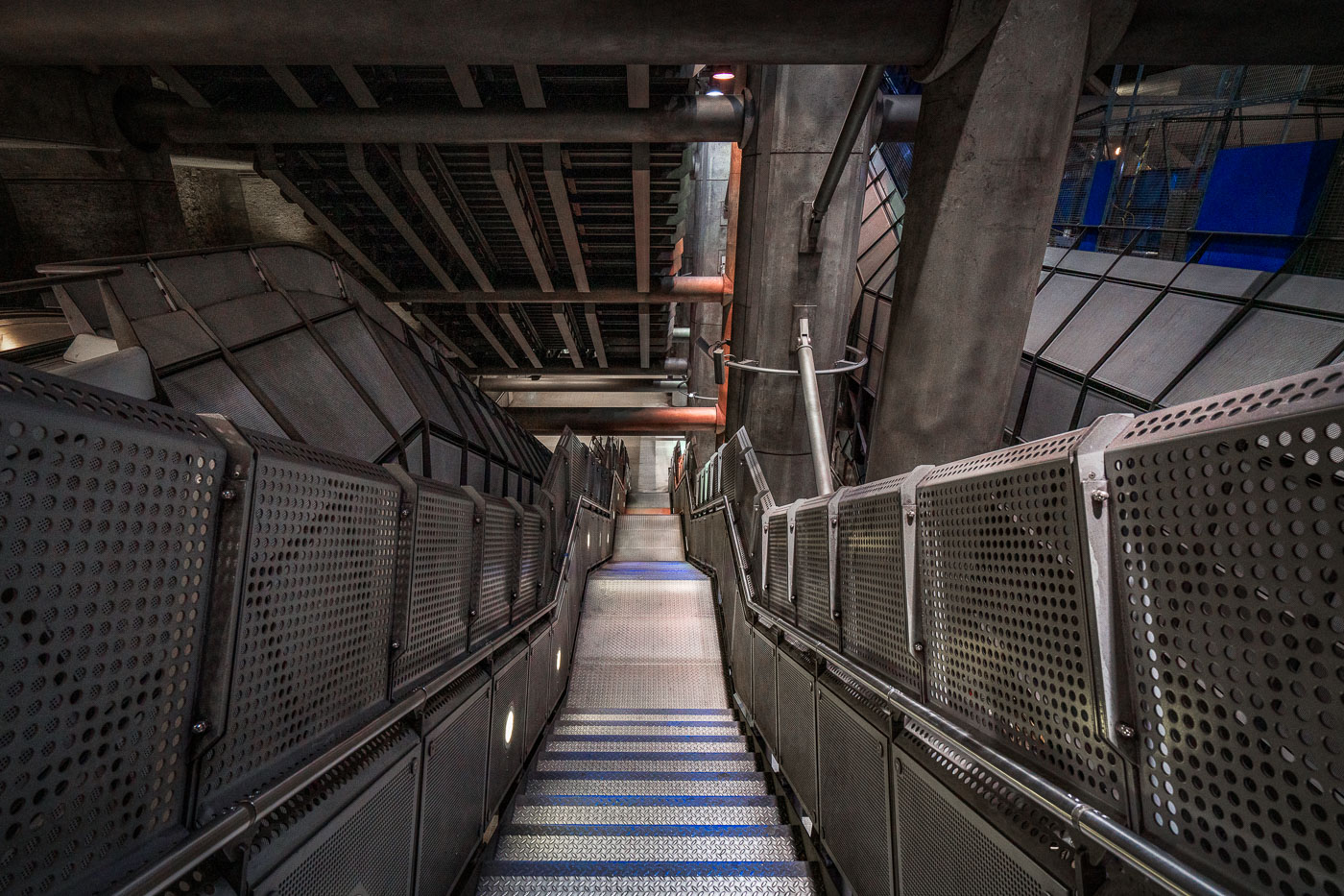
A long metal stairwell at Westminster Station on the London Underground Jubilee line, with perforated metal panels flanking the stairs and exposed concrete infrastructure overhead.
Westminster Station in London has a deep stairwell leading through the Jubilee line extension platforms. The station was designed by Foster + Partners and opened in 1999 as part of the rebuilt Underground interchange beneath Parliament Square. Exposed concrete, metal panels, and steel framing define the circulation space.

Perforated Steel Stairwell at Westminster Station
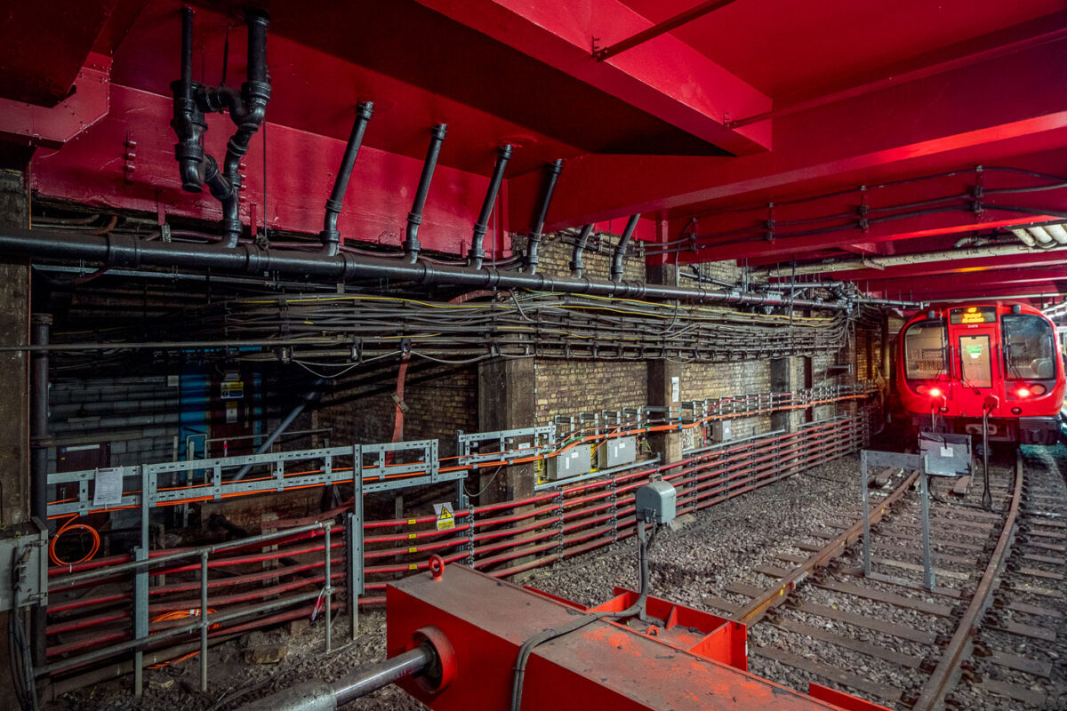
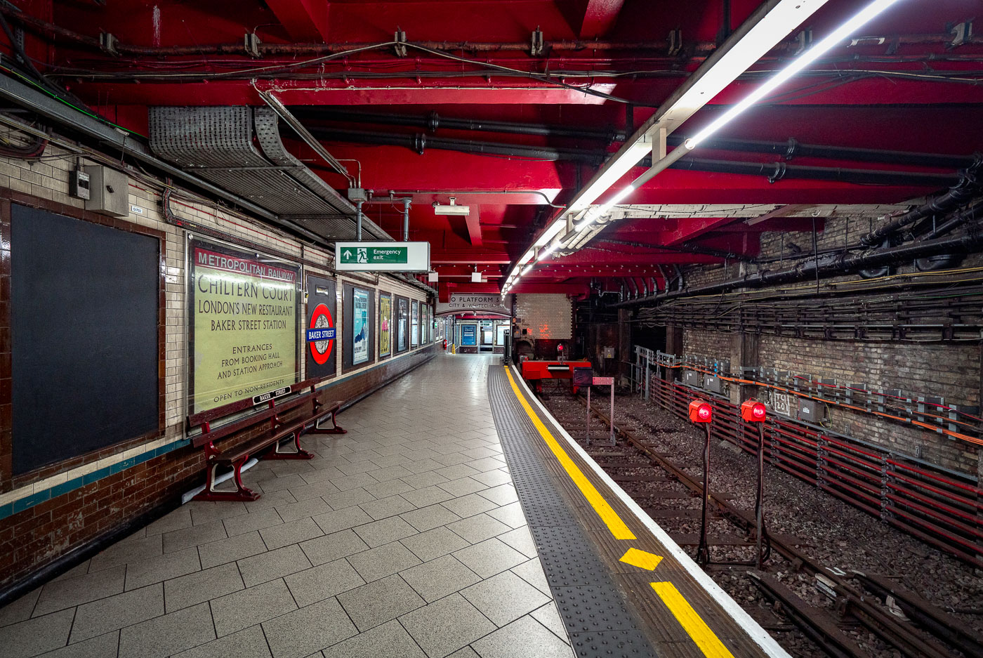
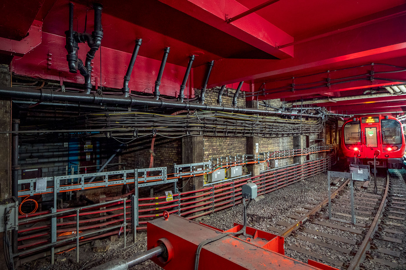
Baker Street station platform on the Metropolitan line features exposed brick walls, red ceiling infrastructure, and railway equipment alongside electrified tracks.
Baker Street Station in London’s Metropolitan line tunnels shows exposed brickwork, pipes, cabling and modern service equipment alongside the running rails. The station is part of the world’s oldest underground railway network, with origins in the 1860s.

Cabling and Pipework Along the Tunnel at Baker Street Station
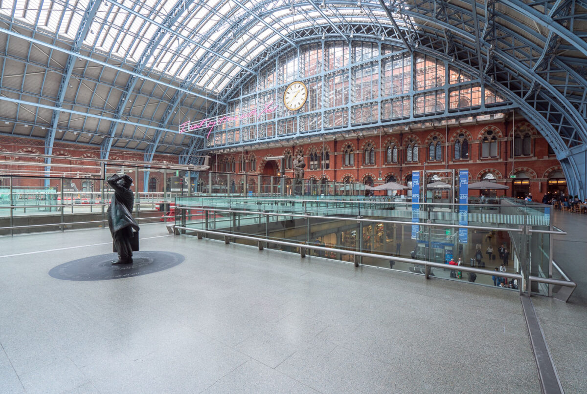
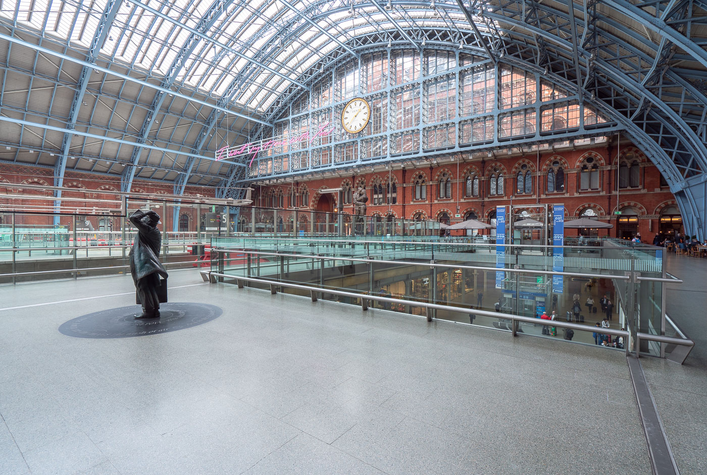
A solitary figure stands in the main concourse of King's Cross St Pancras station beneath its distinctive arched iron and glass Barlow Shed roof.
King's Cross St Pancras station in London features the main concourse beneath the Barlow Shed roof. The station opened in 1852 and serves both National Rail and the London Underground.

Statue and Clock Beneath the Train Shed at St Pancras International

Built in Minneapolis

Minneapolis Photographer

Browse by location, move through long-running series, or start with recent work.