Subway

145 photos · 2005–2025

145 photographs tagged Subway, 2005–2025.
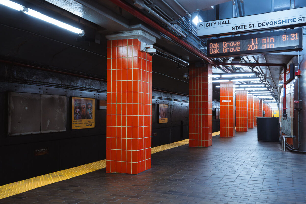
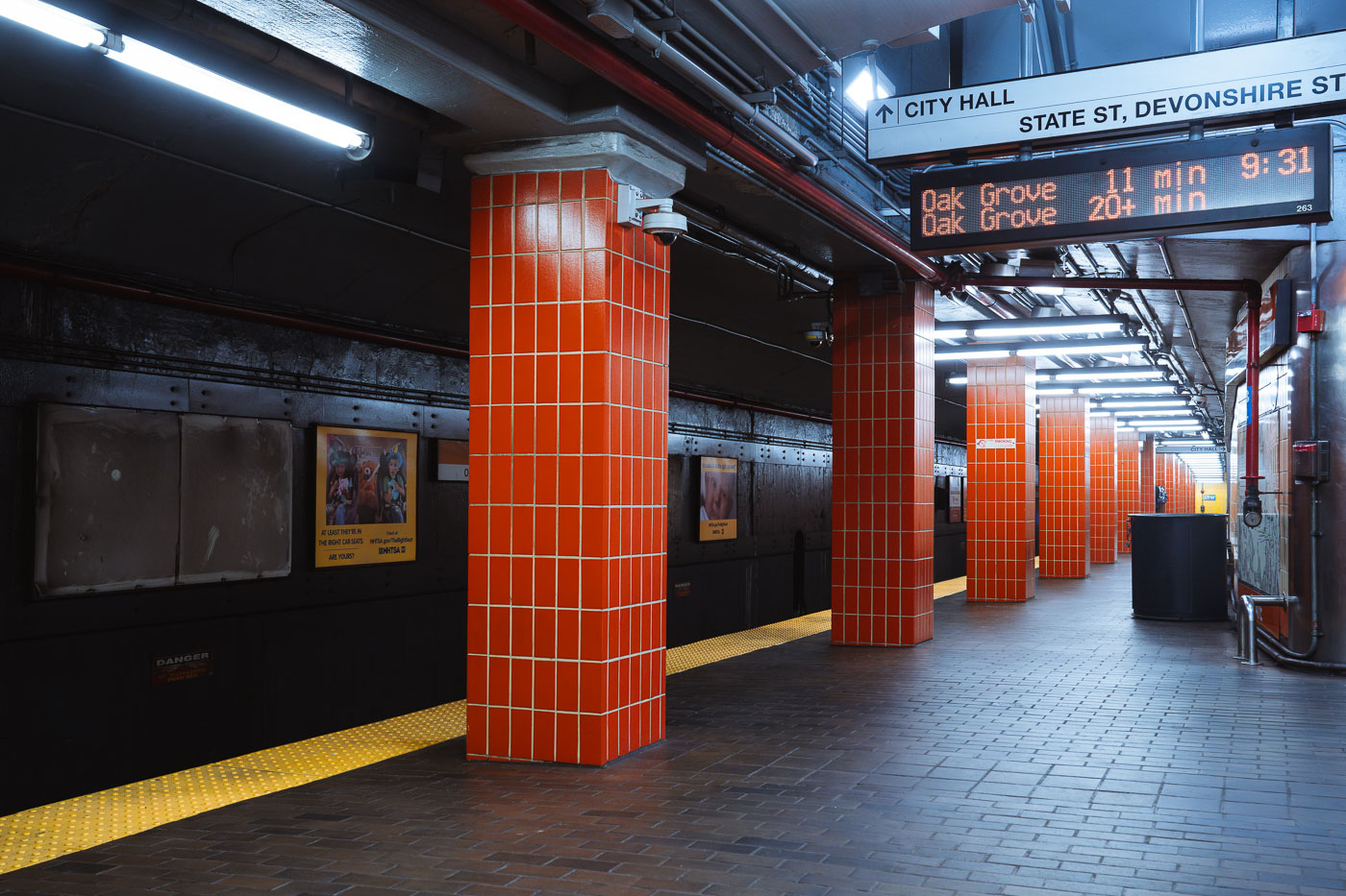
State Station platform on the MBTA Orange Line in Boston features distinctive red tile columns and yellow safety stripe.
State Station connects to the Blue Line, making it one of the few downtown Boston stops where the two lines meet. The station sits beneath State and Devonshire streets, serving the Financial District and buildings near the Old State House. It occupies part of the Washington Street Tunnel, which opened in 1915 as one of the earliest segments of Boston's rapid transit system. Orange Line trains here run between Oak Grove and Forest Hills, connecting the North Shore commuter routes to Boston's southern neighborhoods.

Orange Line Platform at State Station, Boston
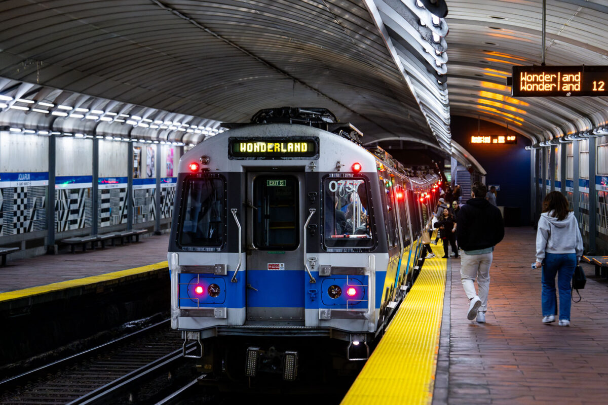
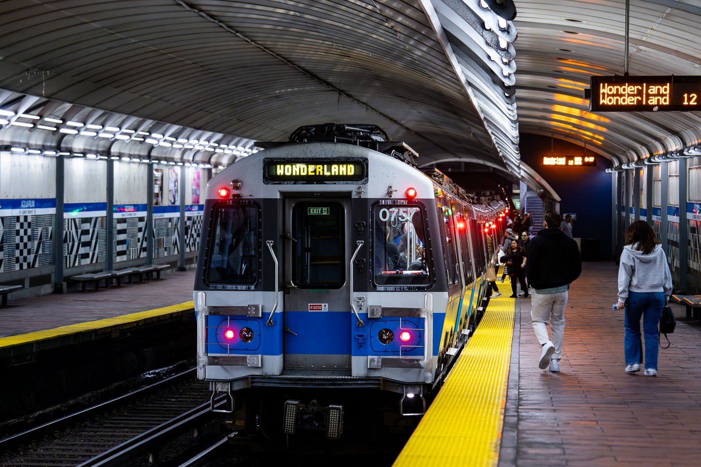
MBTA Blue Line train 0757 stopped at Aquarium Station in Boston with passengers on the platform.
Aquarium Station sits beneath State Street in downtown Boston, named for the New England Aquarium just above its entrance. It's one of four downtown stops on the MBTA Blue Line, which runs between Bowdoin and Wonderland. The station dates to 1904, when it opened as part of the original East Boston Tunnel — the first underwater transit tunnel built in the United States. Wonderland, the line's northern terminus in Revere, opened in 1954 and takes its name from a long-closed amusement park and greyhound track that once stood nearby.

Blue Line Train Bound for Wonderland at Aquarium Station
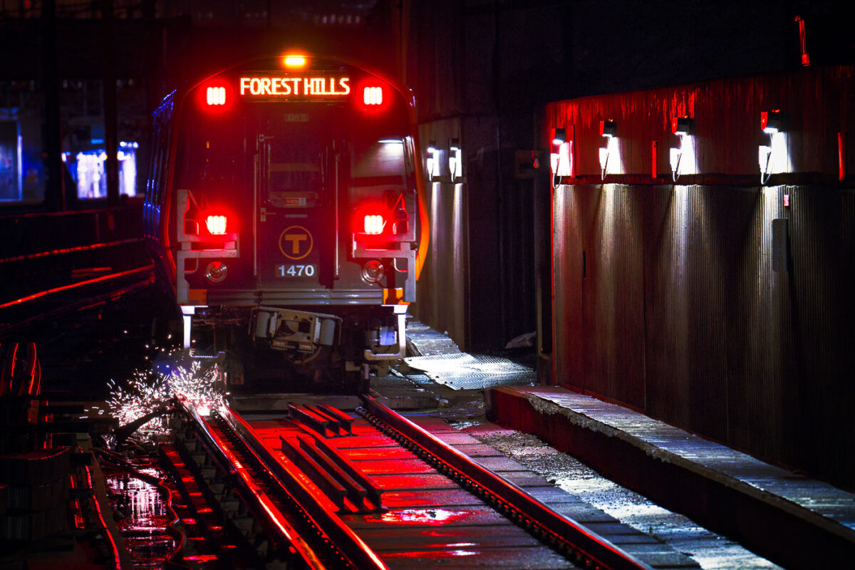
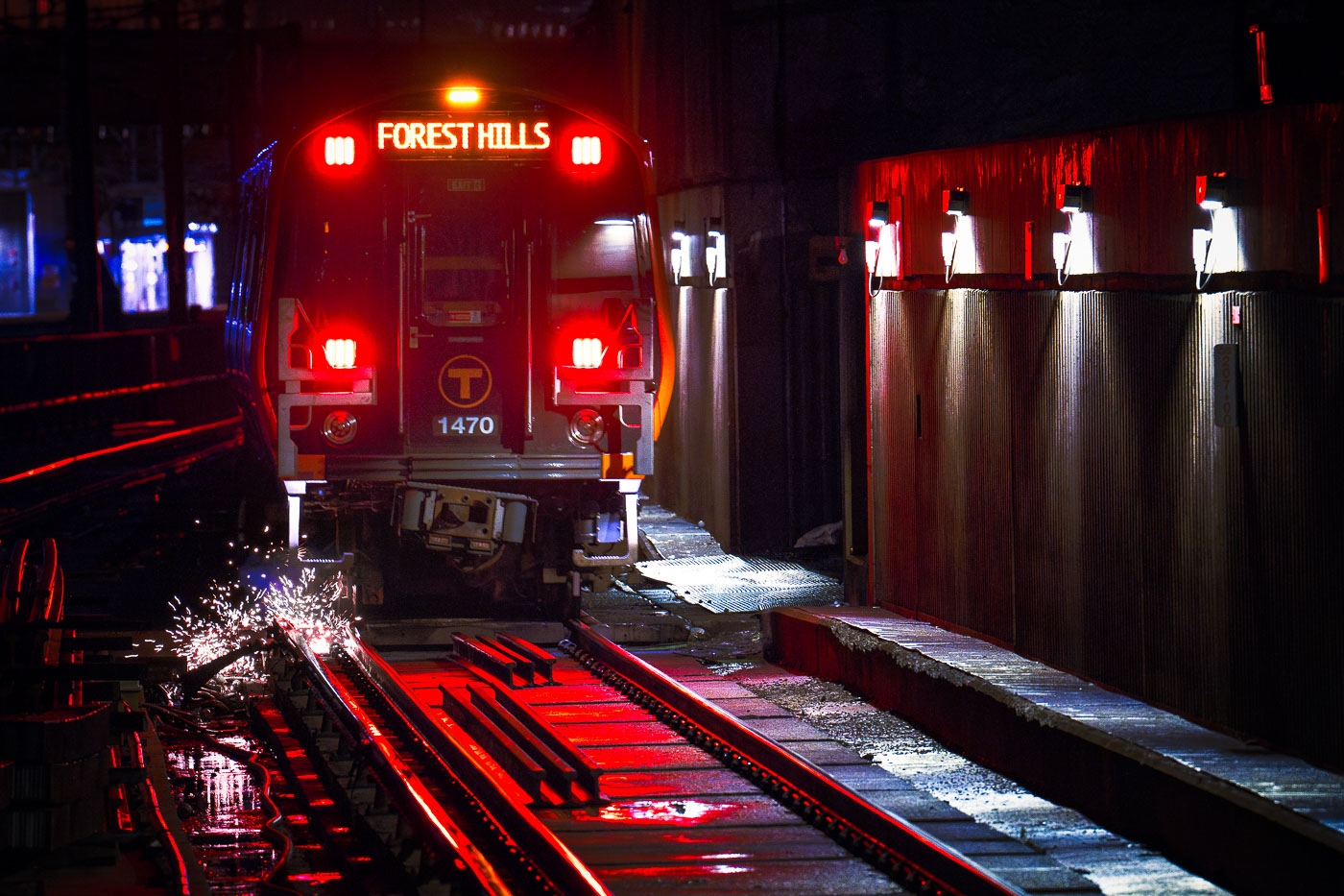
MBTA Orange Line train 1470 stopped at Forest Hills Station in Boston with track sparks visible on the rails.
Forest Hills Station is the southern terminus of the MBTA Orange Line, serving the Jamaica Plain neighborhood of Boston. The station opened in 1987 as part of the Southwest Corridor Project, which relocated the Orange Line underground and to grade after the demolition of the old Washington Street Elevated. It also connects riders to the MBTA Commuter Rail's Needham Line and several bus routes, making it a key transfer point for southern Boston and the surrounding suburbs. Train 1470 belongs to the Orange Line's newer fleet of cars, built by CRRC to replace the system's older 1979-built rolling stock.

Orange Line Train 1470 at Forest Hills Station
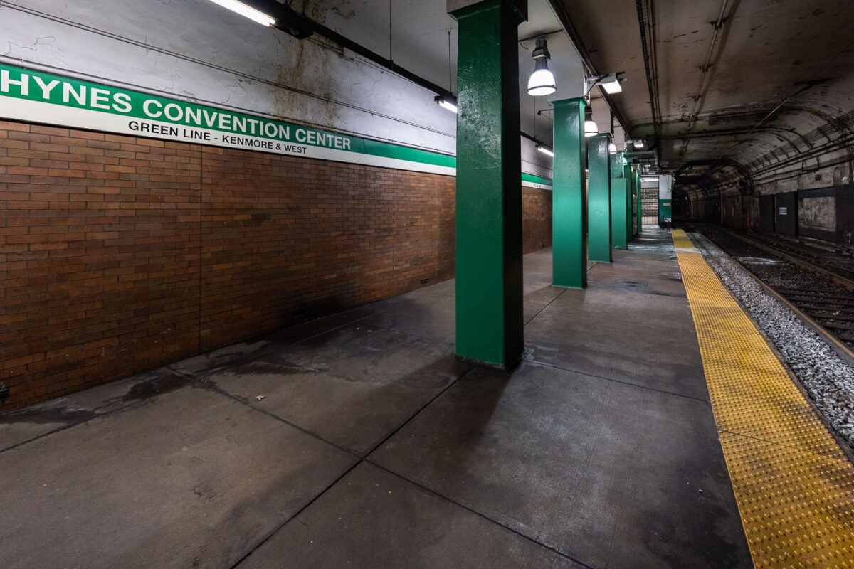
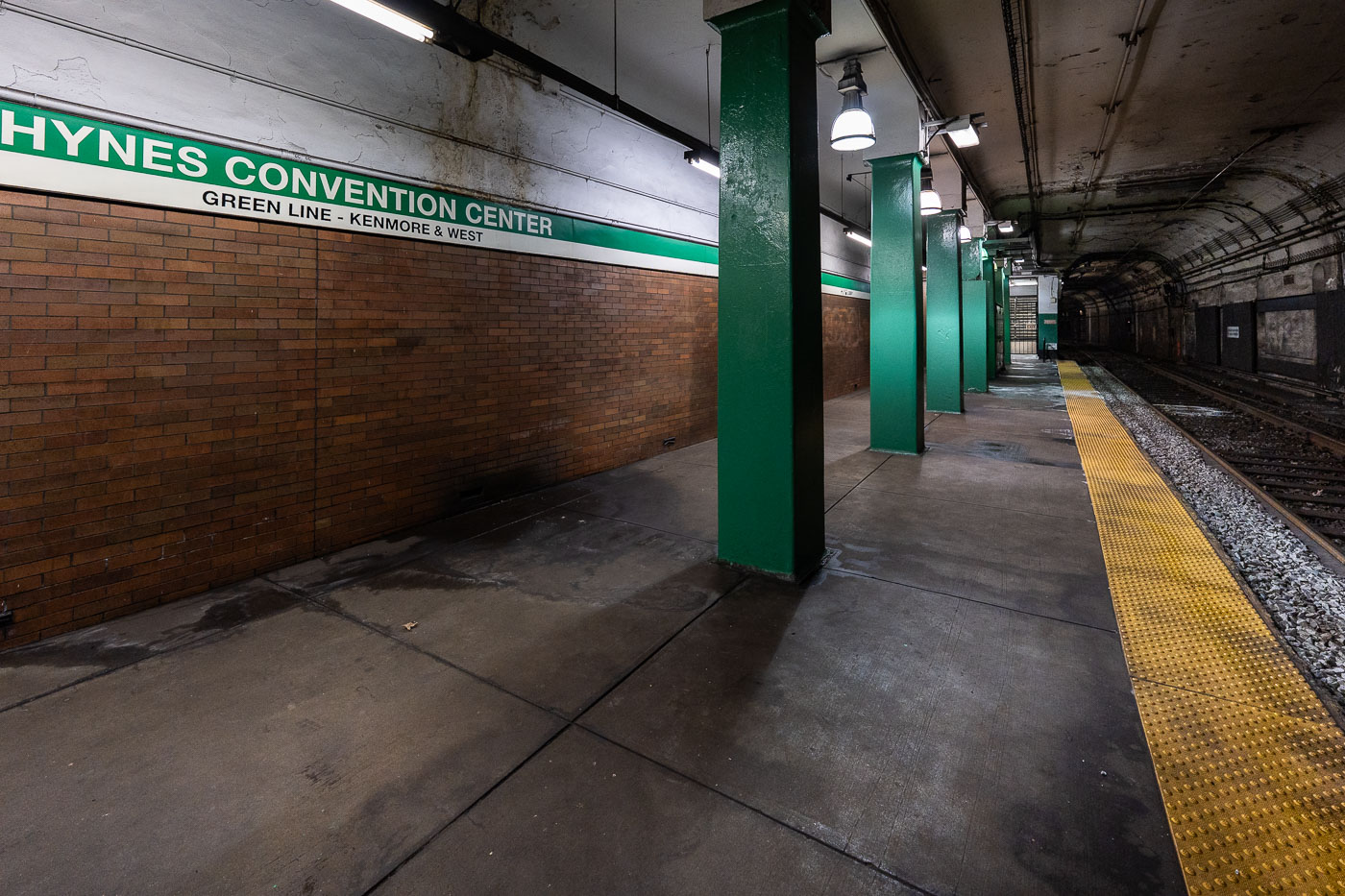
Hynes Convention Center station platform on the MBTA Green Line in Boston, showing green support columns and yellow safety stripe.
Hynes Convention Center station sits on the MBTA Green Line in Boston's Back Bay, named for the adjacent convention center at 900 Boylston Street. The platform serves westbound trolleys toward Kenmore Square and the B, C, and D branches beyond. It's one of the system's older stops, dating to the original Boylston Street subway extension of the early 20th century, and remains at street level below Newbury and Boylston streets rather than deep underground like many downtown stations.

Green Line Platform at Hynes Convention Center Station
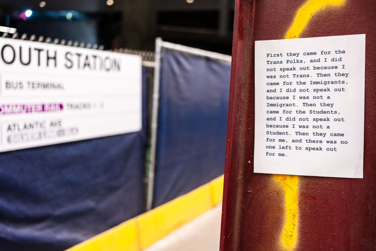
Posted protest message at South Station in Boston quoting anti-oppression text about marginalized communities.
South Station is Boston's primary intercity transportation hub, serving Amtrak, MBTA commuter rail, the Red Line, and Silver Line bus connections. A paper flyer posted near the terminal paraphrases Martin Niemöller's post-World War II confession about political complacency under Nazi rule, updating its list of targeted groups to trans people, immigrants, and students. The original quote is widely used in political and activist messaging to warn against staying silent as different groups are singled out one after another.

“First They Came for the Trans Folks” Flyer at South Station
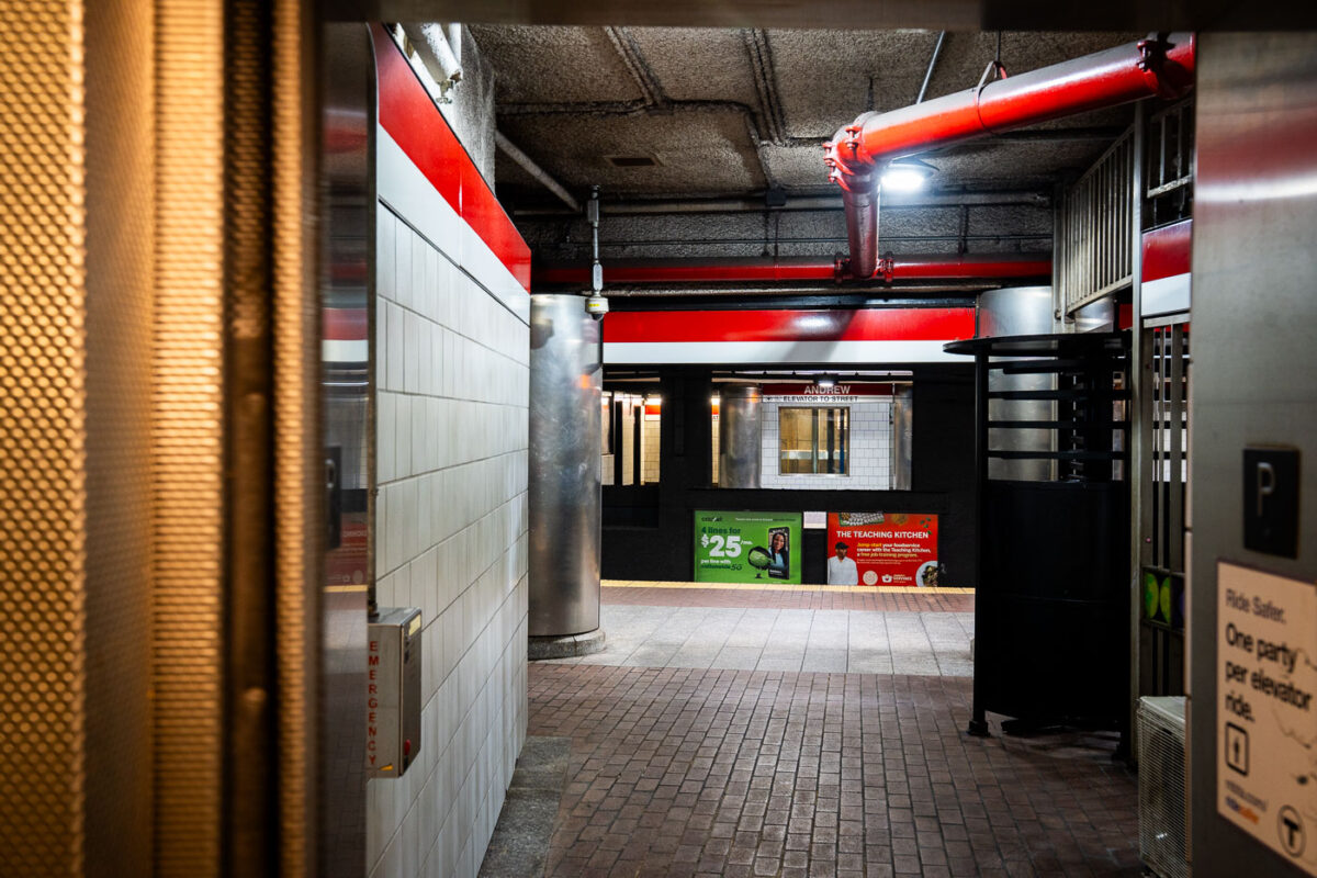
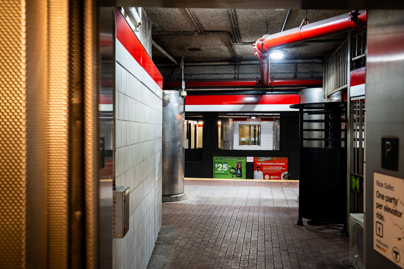
Andrew Station MBTA Red Line platform corridor with red structural beams and white tile walls, Boston.
Andrew Station serves the MBTA Red Line in the Dorchester section of South Boston, opened in 1873 as a stop on the Old Colony Railroad before later becoming part of the Red Line's Ashmont branch. The station sits below street level, with elevators and turnstiles connecting the mezzanine to the platforms. It functions as a transfer point for local bus routes serving Dorchester and South Boston.

Andrew Station elevator access, MBTA Red Line, Boston
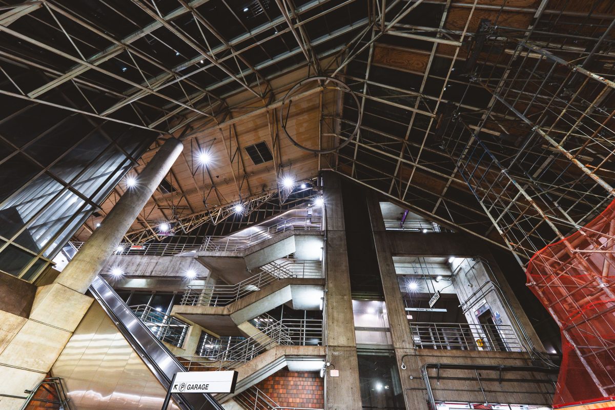
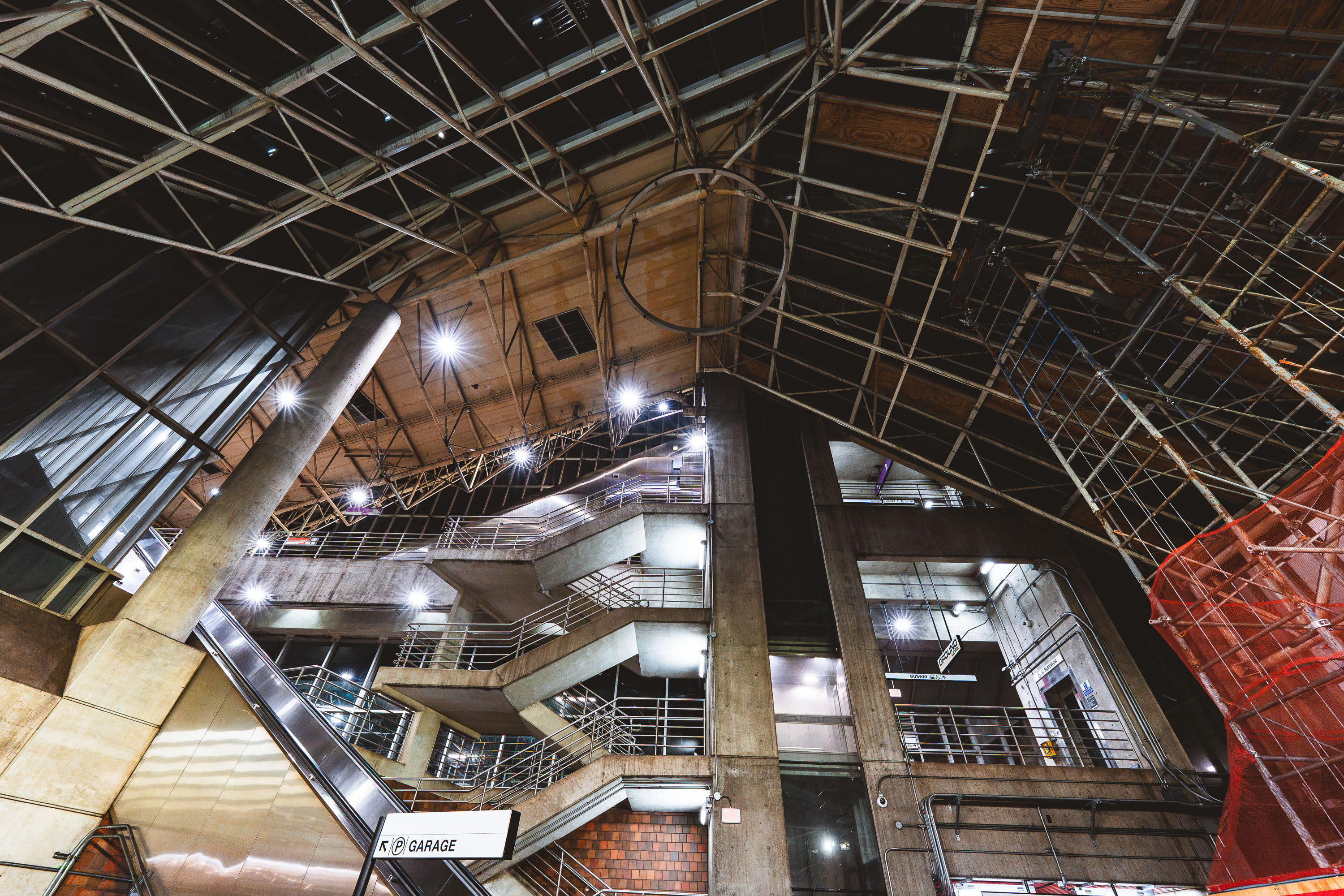
Interior view of Alewife Station's multilevel parking garage with exposed concrete structure and metal framework.
Alewife Station, the northern terminus of the MBTA Red Line, opened in 1985 and was designed by architect Ted Ashton with structural work by Paul Rudolph, whose signature exposed-truss roof and raw concrete forms define the terminal. The station sits atop a large multilevel parking garage, one of the largest transit parking facilities in the MBTA system, built to serve commuters from Cambridge and the northwestern suburbs. Its Brutalist design, unusual for a transit hub, has made it a subject of architectural debate since it opened. The garage and station remain in daily operation, connecting Red Line trains with bus routes and the Minuteman Bikeway.

Exposed Trusses and Parking Garage at Alewife Station
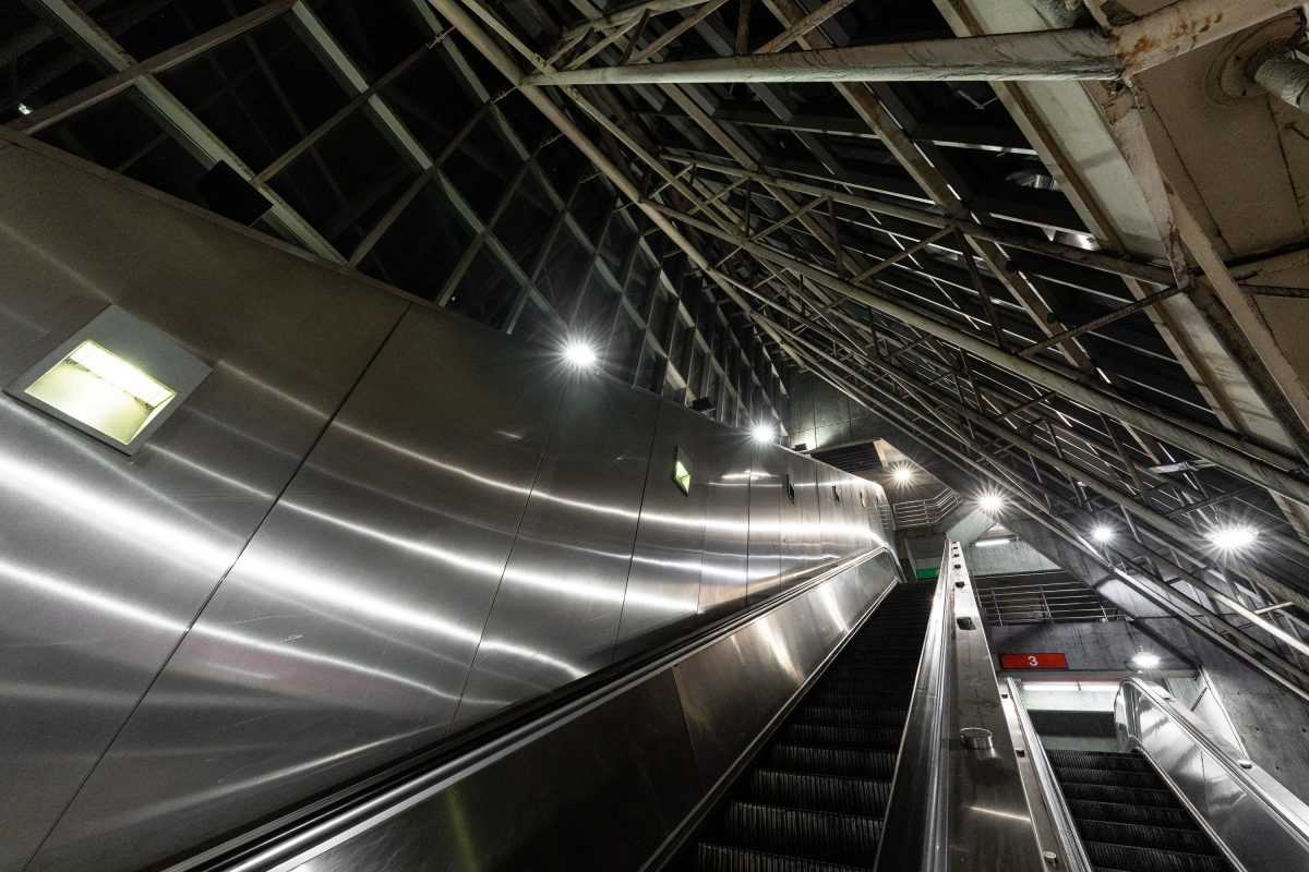
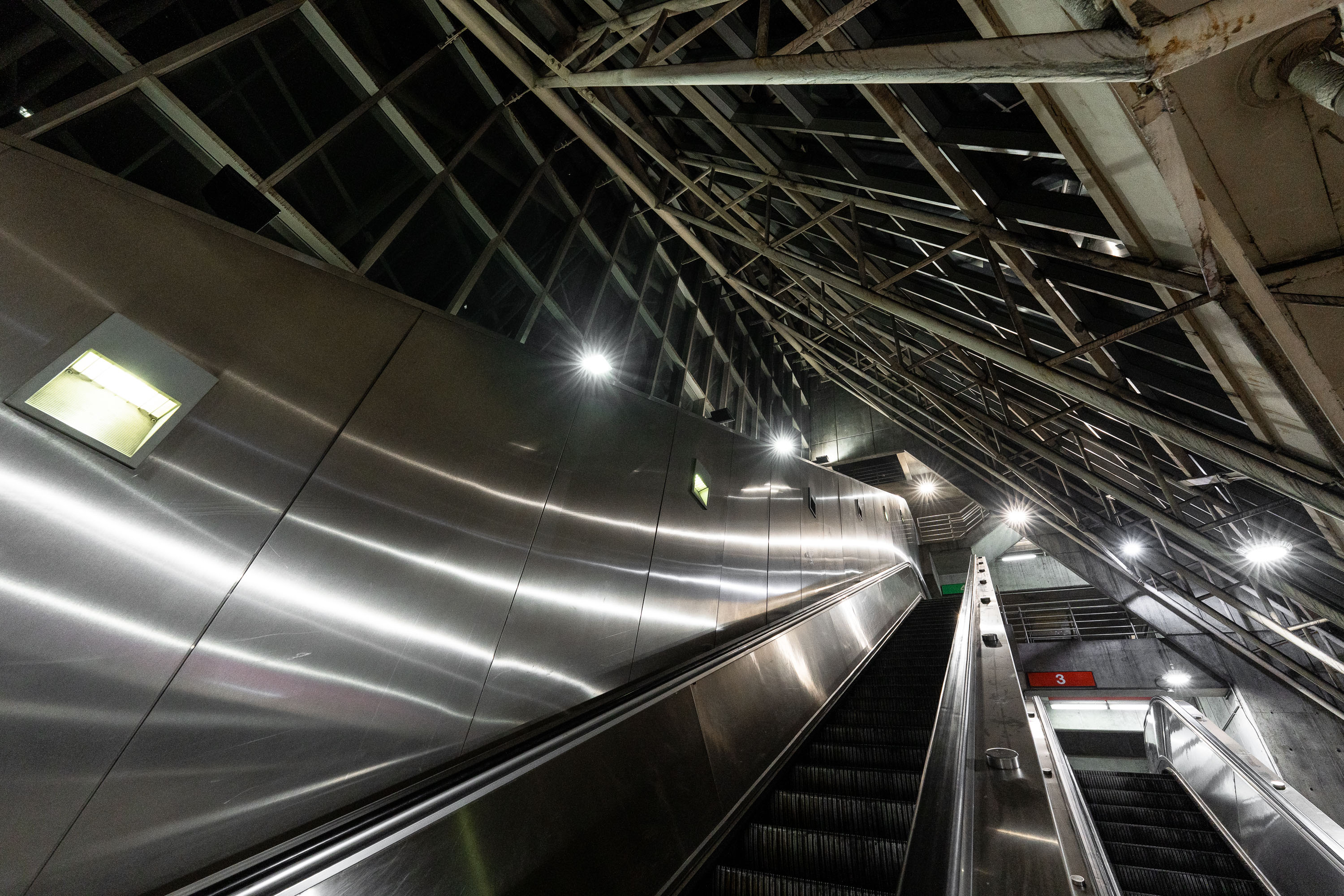
Escalators at MBTA Alewife Station in Cambridge with metal ceiling panels and industrial lighting.
Alewife Station anchors the northern end of the MBTA Red Line, opened in 1985 as the system's newest terminus after a decade of construction through Cambridge's Alewife Brook corridor. The station was designed by the architecture firm Ellenzweig Associates, with a steel-and-glass roof structure meant to bring daylight down to the below-grade platform level. Its attached garage holds roughly 2,700 vehicles, making it one of the largest park-and-ride facilities in the MBTA network. Bus routes serving Arlington, Belmont, and Lexington also converge here, making Alewife a primary transfer point for commuters heading into Boston.

Escalators to the Platform, Alewife Station, Cambridge
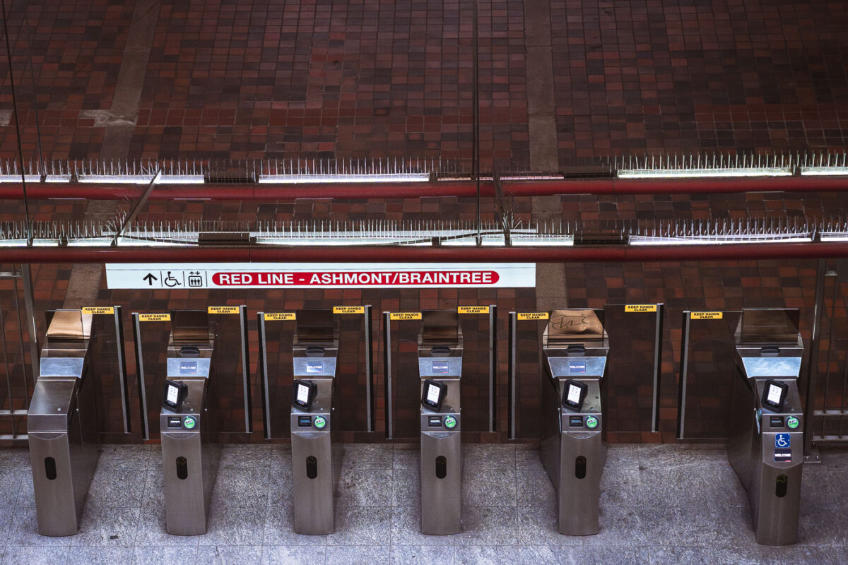
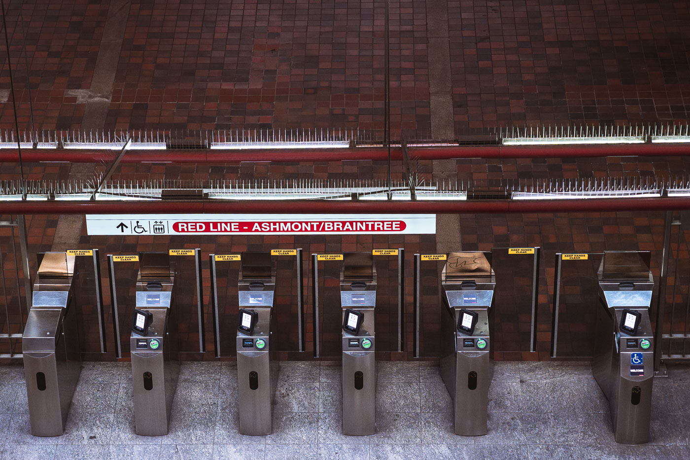
Fare gates at Alewife Station, the northern terminus of Boston's MBTA Red Line.
Alewife Station, at the Red Line's northern terminus in Cambridge, uses fare gates like these to control access to Ashmont- and Braintree-bound service. The station opened in 1985 as the final extension of the Red Line north from Harvard, replacing a temporary terminus at Harvard Square. Alewife serves as a major park-and-ride hub for commuters from northwest of Boston, with an attached garage that is among the largest in the MBTA system. Riders tap CharlieCards or contactless payment at gates like these before continuing to platforms serving both branches of the line.

Fare Gates for the Red Line’s Ashmont/Braintree Branch
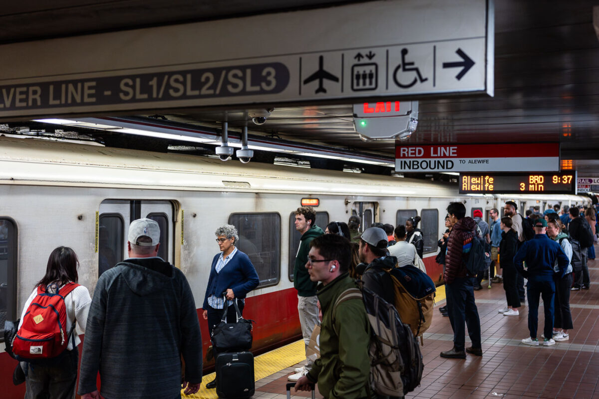
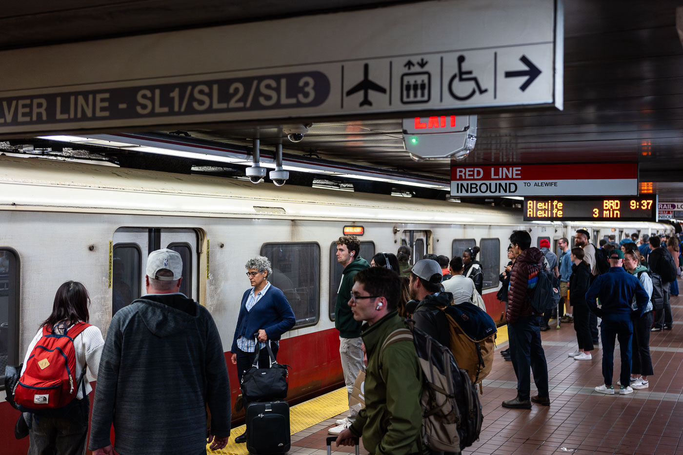
Passengers wait on an MBTA Red Line inbound platform at South Station in Boston.
South Station's Red Line platform sits below the MBTA's largest transit hub, where subway, commuter rail, and intercity Amtrak service converge at Dewey Square. The Red Line here runs inbound toward Alewife in Cambridge, one end of a line that also branches south to Ashmont and Braintree. Overhead signage marks the adjacent Silver Line routes SL1, SL2, and SL3, bus rapid transit services that connect South Station to Logan International Airport and the Seaport District. South Station opened in its current form in 1899 and was rebuilt as a modern multimodal terminal in the 1980s after decades of decline.

MBTA Red Line Platform, South Station, Boston
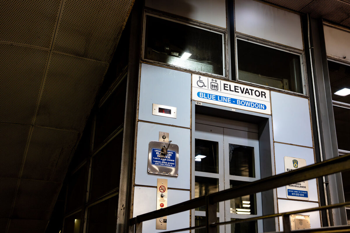
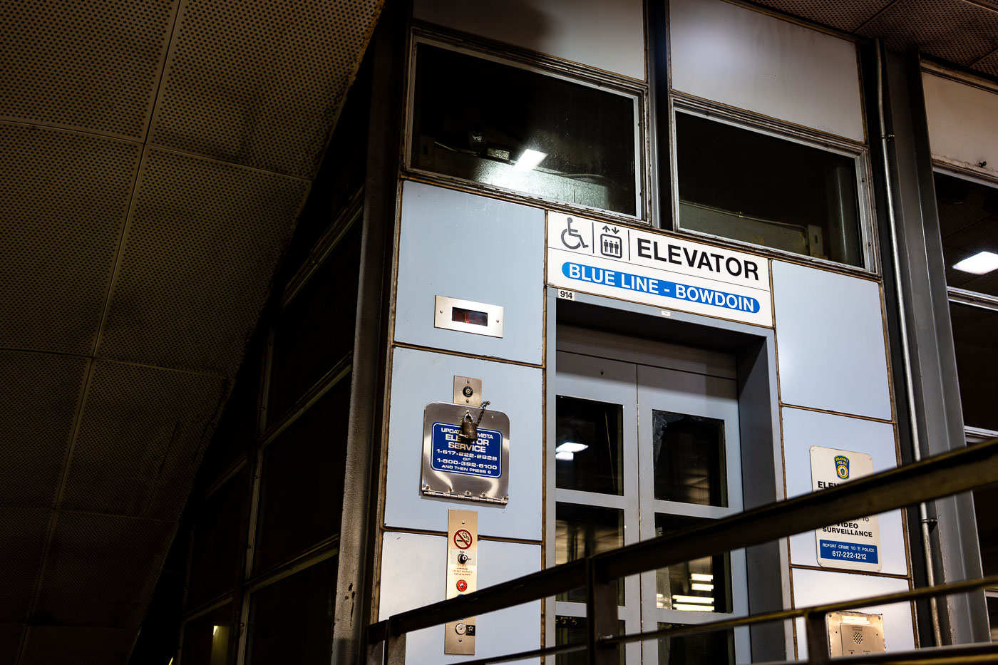
Elevator entrance at Bowdoin Station, the downtown terminal of Boston's MBTA Blue Line.
Bowdoin Station is the western terminus of the MBTA Blue Line, sitting beneath Cambridge Street near the Massachusetts State House. It opened in 1916 as part of the East Boston Tunnel, making it one of the oldest subway stations still in use in the country. Bowdoin operates on limited hours and reduced service compared to other stops, and many Blue Line trains bypass it entirely outside peak periods. The station has only one entrance, at the corner of Bowdoin and Cambridge streets, with no direct connection to other MBTA lines.

Bowdoin Station Elevator Entrance, MBTA Blue Line
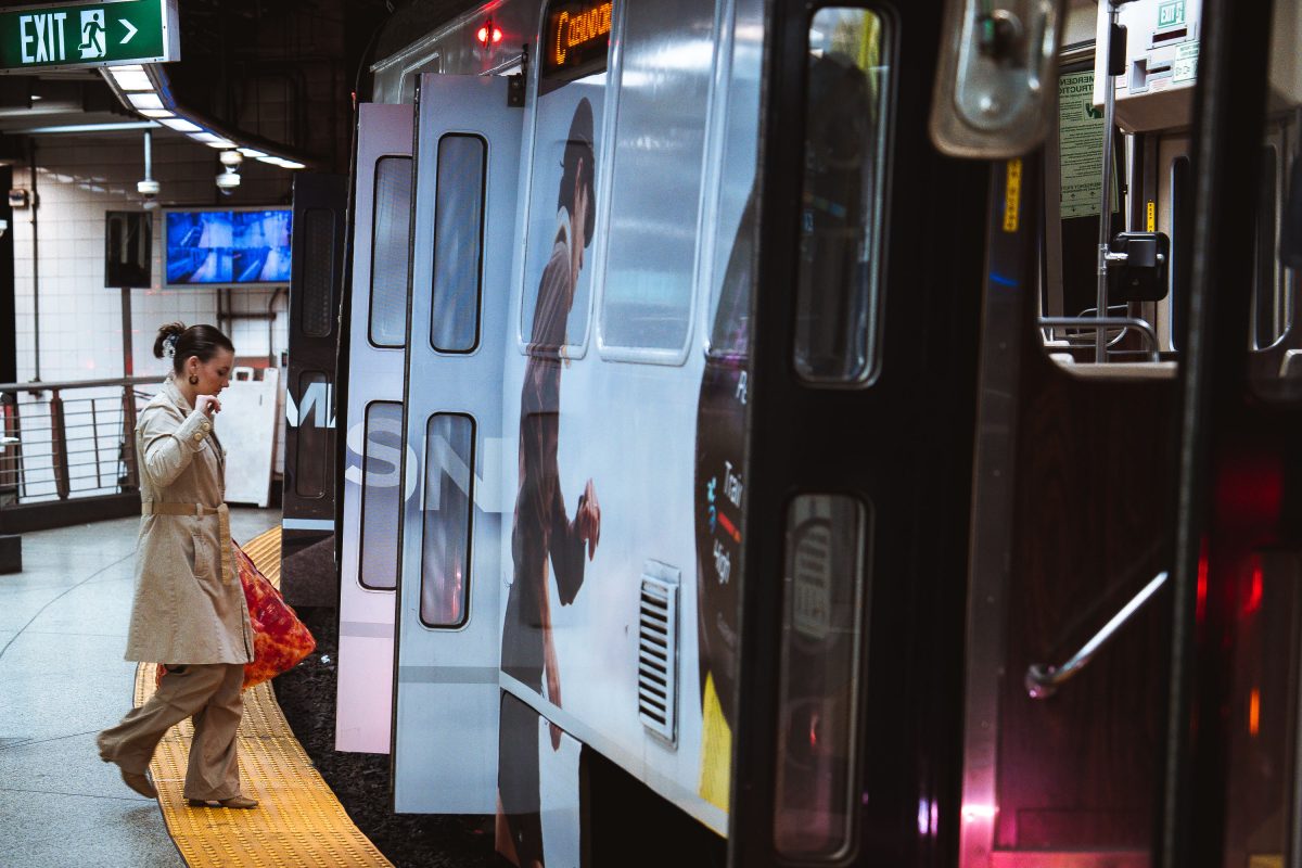
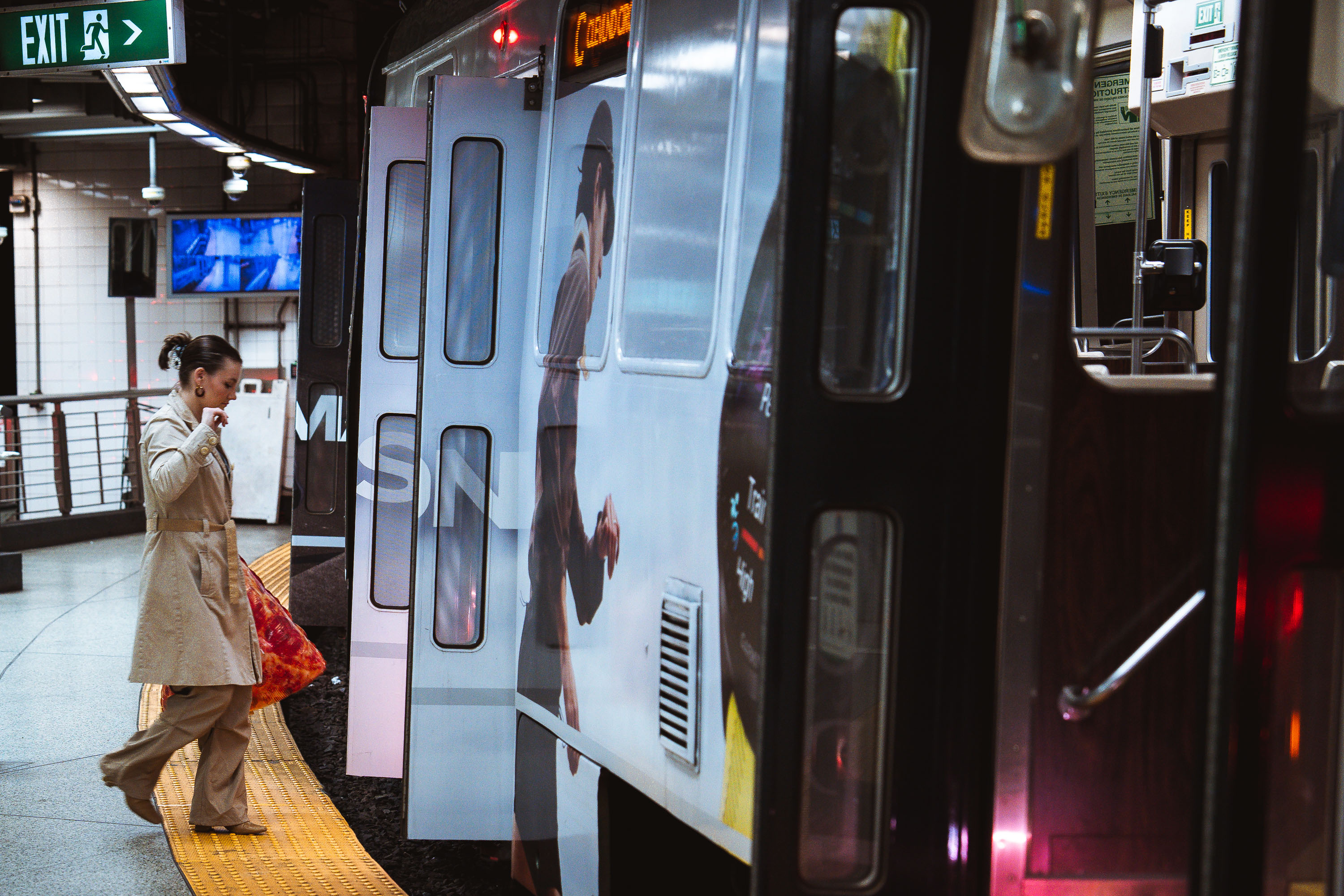
Pizza boarding MBTA Train
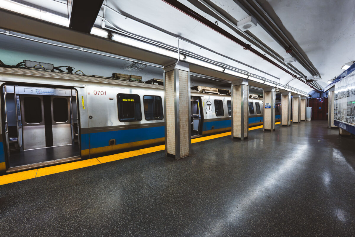
A passenger steps onto an MBTA subway train at an underground station in Boston. The Massachusetts Bay Transportation Authority, formed in 1964, operates one of the oldest rapid transit systems in the United States, with roots tracing back to the Boston Elevated Railway and the opening of the Tremont Street Subway in 1897. The high-platform station design, yellow tactile warning strip, and sliding train doors reflect standards adopted to improve accessibility and passenger safety across the system as it expanded and modernized through the late 20th century.

Pizza boarding MBTA Train

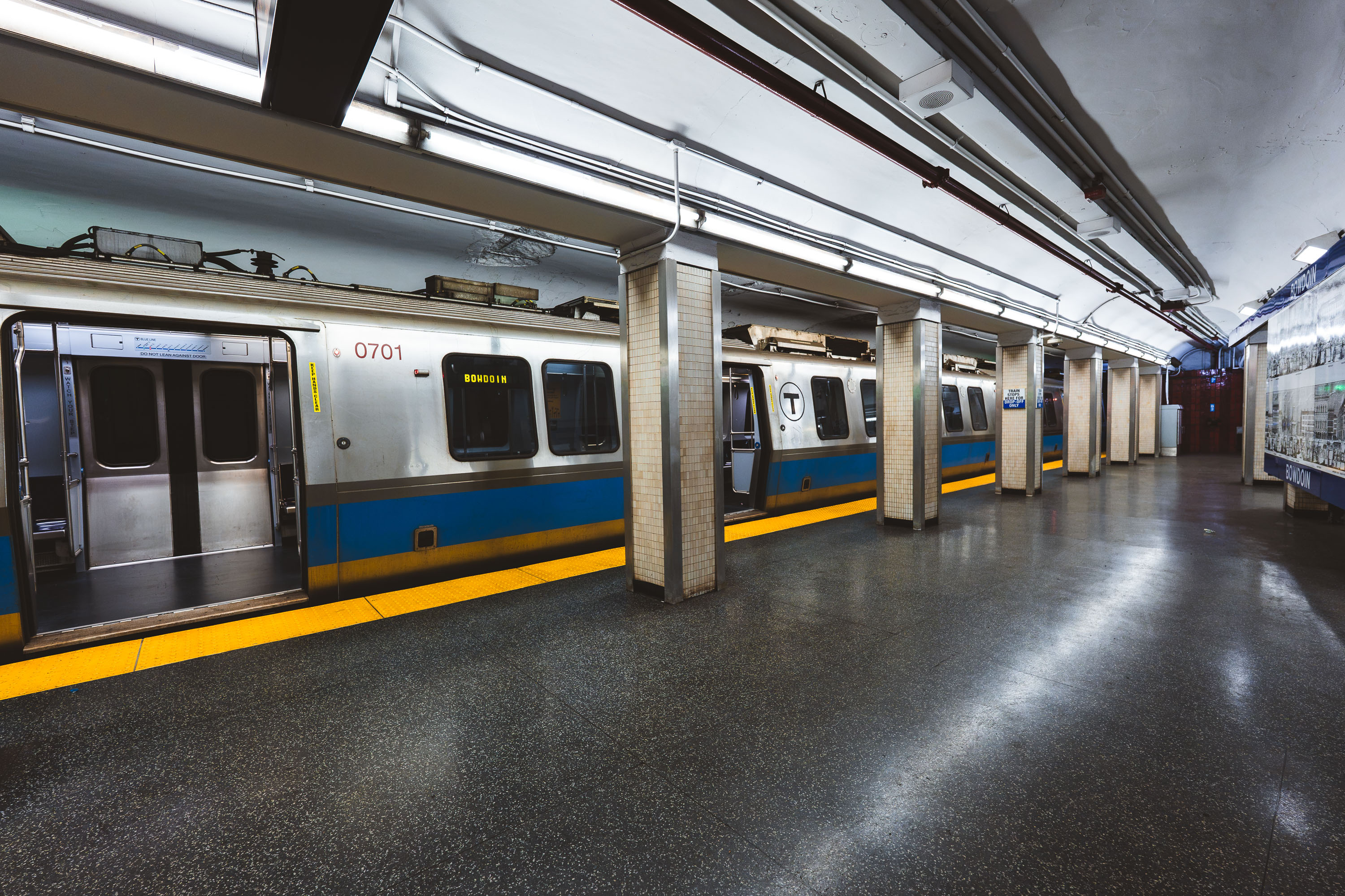
MBTA Blue Line train at Bowdoin Station in Boston, Massachusetts.
Bowdoin station marks the western terminus of the MBTA Blue Line, tucked beneath Cambridge Street near Beacon Hill. It opened in 1916 as part of the original East Boston Tunnel extension and remains one of the system's least-used stations, largely because of its limited hours and short platform, which accommodates only the front three cars of a train. Its proximity to the Massachusetts State House makes it a practical, if lightly used, stop for state employees and visitors to Beacon Hill.

Blue Line Train to Bowdoin, Boston’s Western Terminus
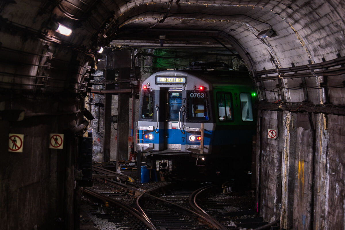
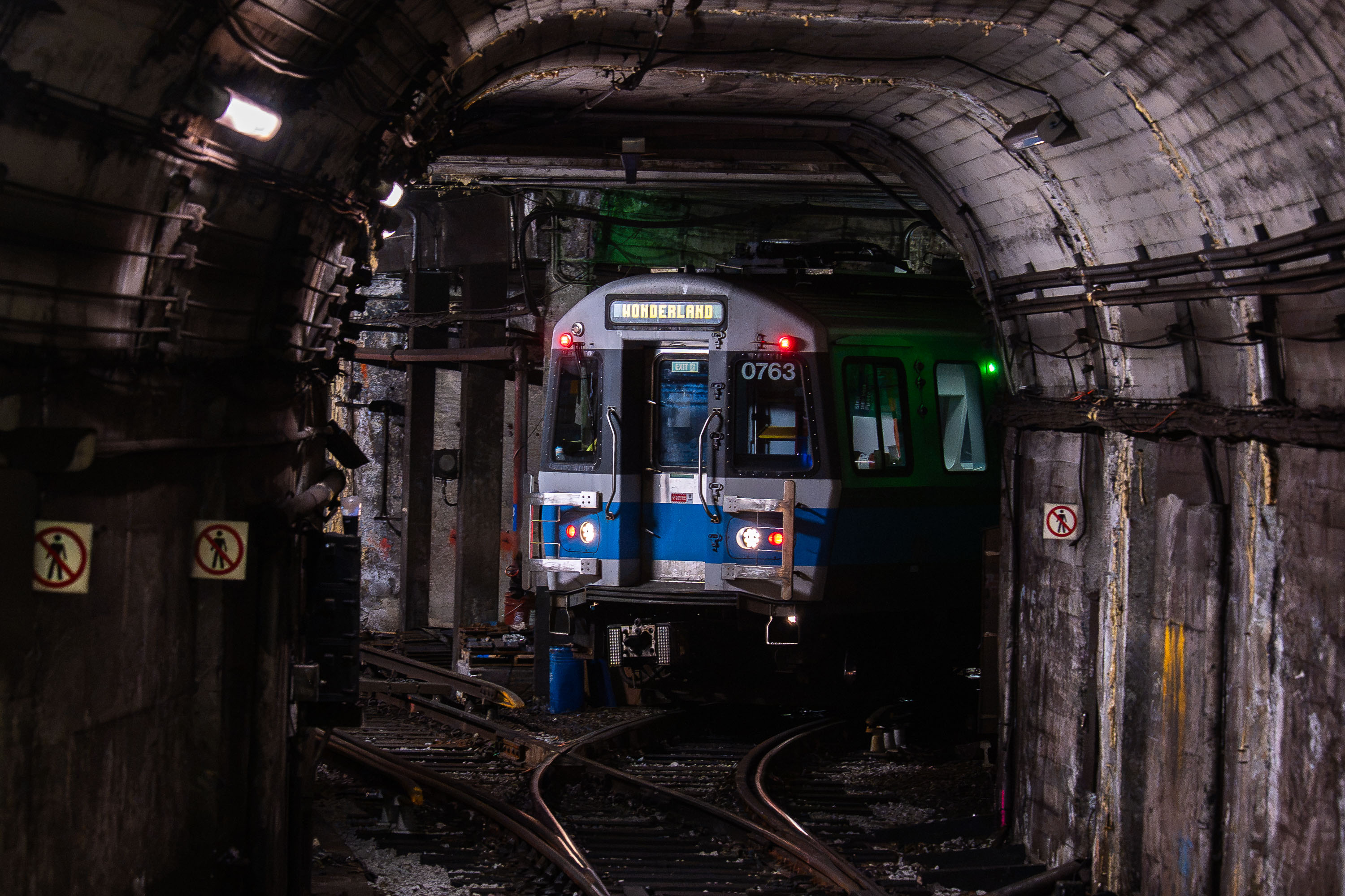
MBTA light rail train 0763 bound for Wonderland stopped in a subway tunnel at Bowdoin Station in Boston.
Bowdoin Station is the western terminus of the MBTA's Blue Line, opened in 1916 as an extension of the original East Boston Tunnel. Its short, curved platform beneath Cambridge Street can only accommodate the front three cars of a train, so only those doors open for passengers. The tunnel it sits in dates to 1904, when it became the first underwater rapid transit tunnel built in the United States. From Bowdoin, the Blue Line runs through downtown Boston, East Boston, and Logan Airport before ending at Wonderland Station in Revere.

Blue Line Train to Wonderland in the Tunnel Near Bowdoin Station
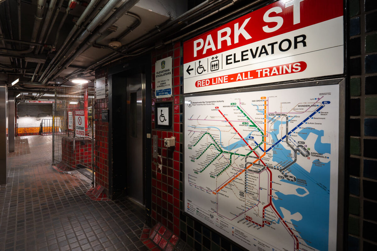
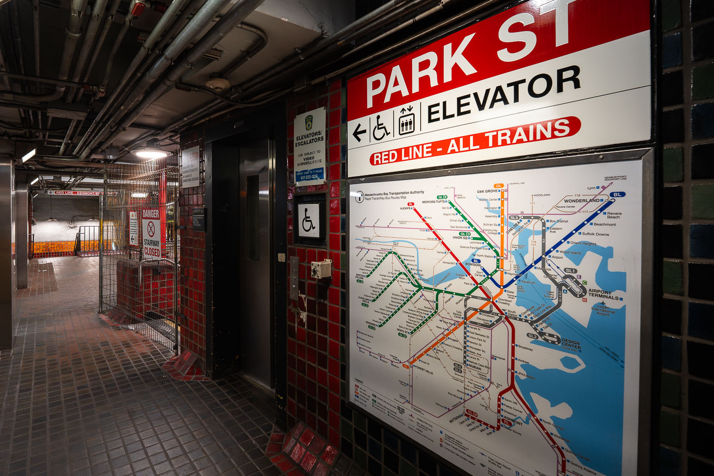
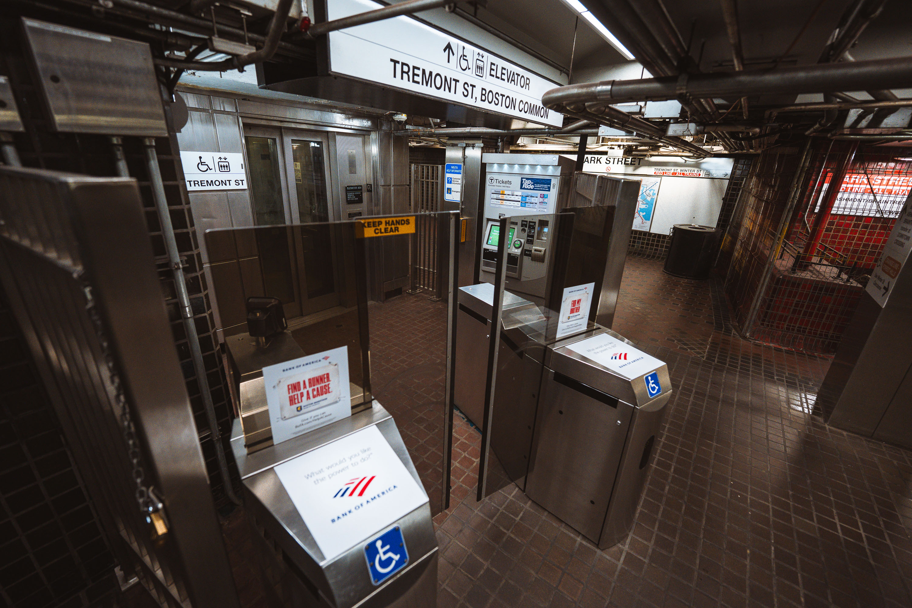
Park Street Station Red Line elevator entrance with transit map showing Boston MBTA train lines.
Park Street Station opened in 1897 as part of the Tremont Street Subway, the first subway system built in the United States. Today it serves as a transfer point between the Red Line and the Green Line, with connections to buses throughout downtown Boston. The station sits beneath Boston Common and Park Street, at the edge of the city's historic Freedom Trail. An elevator connects street level to the Red Line platforms, part of accessibility upgrades made to the station over the past several decades.

Elevator and Transit Map at Park Street Station, Boston
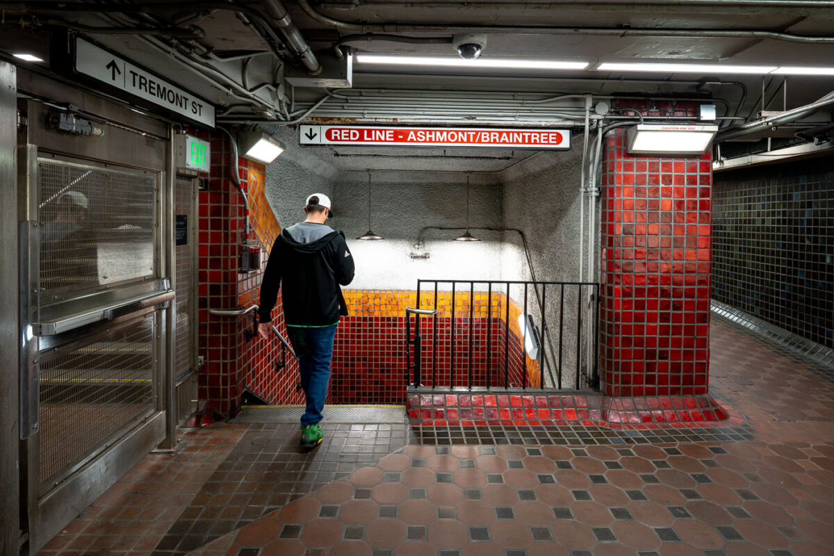
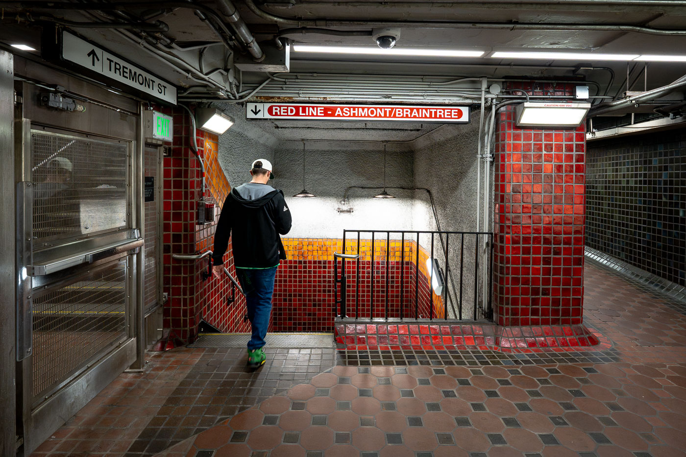
Runner descends stairs at Park Street Station on Boston's MBTA Red Line.
Park Street Station sits beneath Boston Common at the junction of Tremont and Winter streets, where riders can transfer between the Red Line and Green Line. It opened in September 1897 as part of the Tremont Street Subway, the first subway system built in the United States. The station's red and gold tile work marks the Red Line side, a color scheme the MBTA has used system-wide to help riders navigate since the lines were named in the 1960s. Park Street remains one of the busiest stations in the network and is listed on the National Register of Historic Places.

Descending to the Red Line at Park Street Station
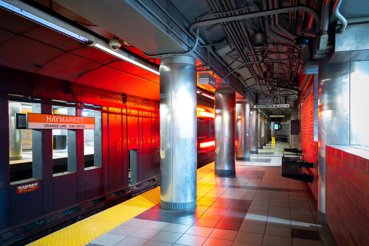
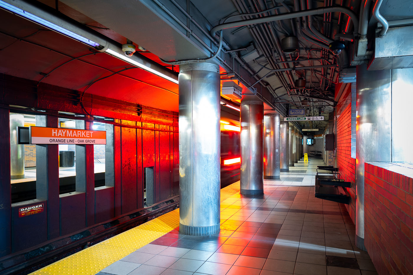
Haymarket Station platform on the MBTA Orange Line in Boston, with red brick walls and metal support columns.
Haymarket Station sits beneath Boston's Haymarket Square, serving the MBTA's Orange Line since the line's relocation underground in 1975 as part of the Southwest Corridor project. The station also connects to the Green Line, linking riders to the North End, Government Center, and the historic open-air Haymarket pushcart market above. Its platforms replaced the elevated Orange Line structure that once ran along Atlantic Avenue before that route was demolished.

Orange Line Train Arrives at Haymarket Station
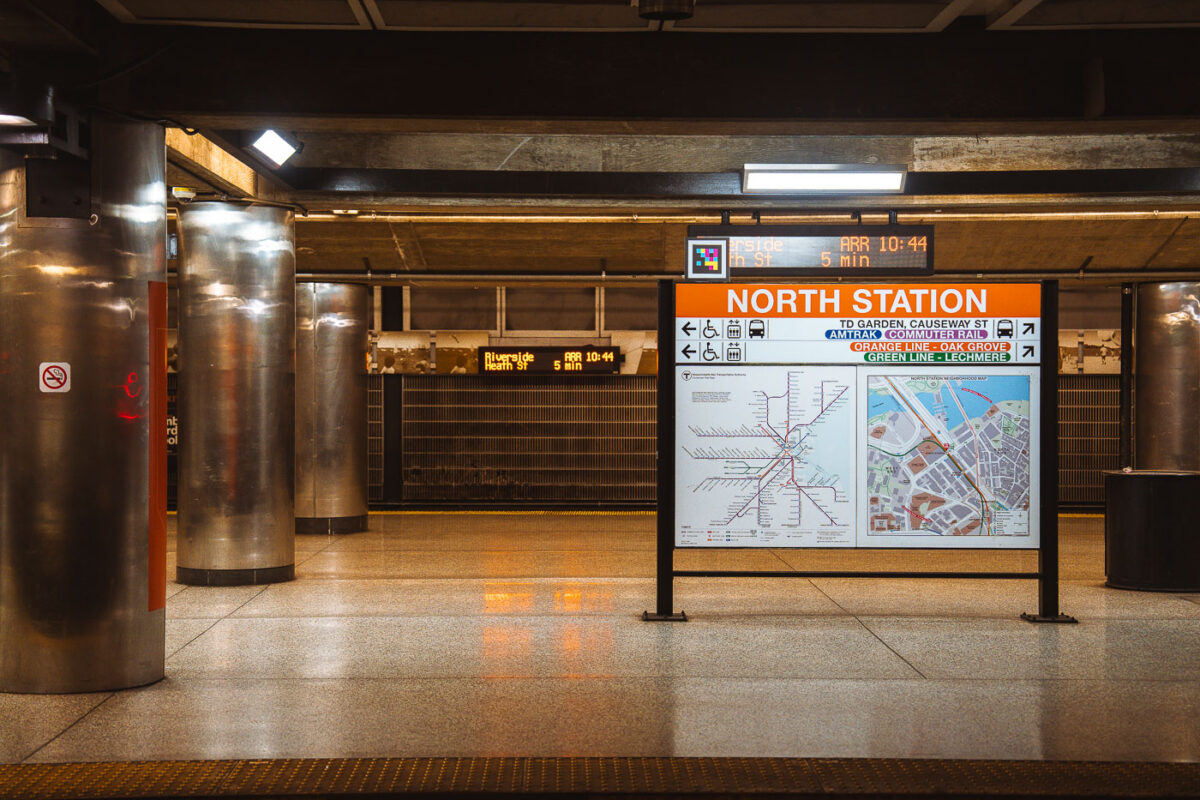
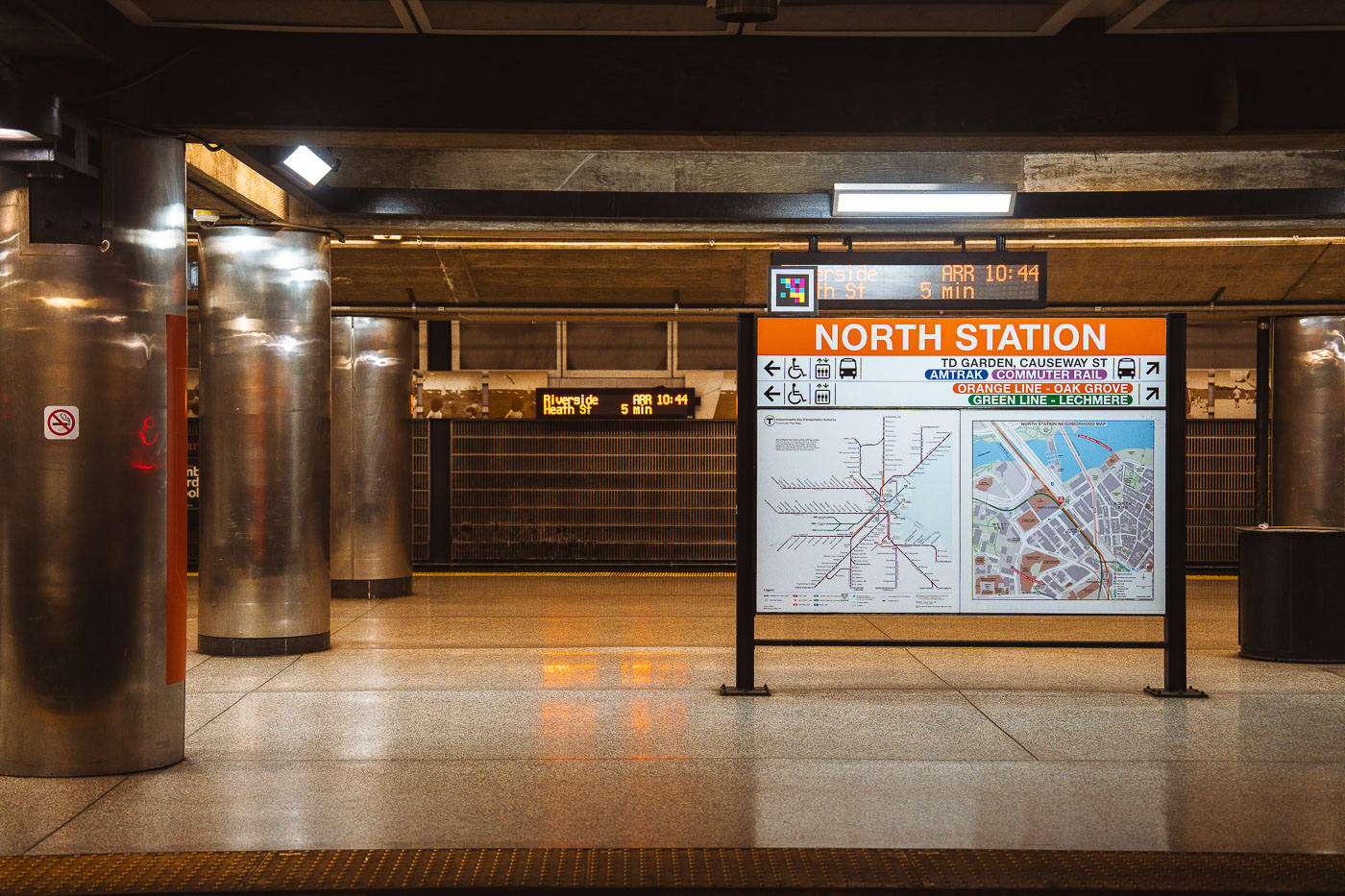
North Station MBTA transit hub in Boston displays an orange directional sign with transit map and service information.
North Station sits beneath TD Garden in Boston's West End, serving as a terminus for the MBTA Orange Line and Green Line as well as Amtrak and MBTA Commuter Rail service. The Green Line ends here at Lechmere, while the Orange Line continues north to Oak Grove. Commuter rail lines from North Station run to Newburyport, Rockport, Haverhill, Lowell, Fitchburg, and other points north and west of the city. The station was rebuilt in the 1990s as part of the Central Artery project, which relocated it next to the new TD Garden after the original Boston Garden was demolished.

Wayfinding Sign on the Platform at North Station
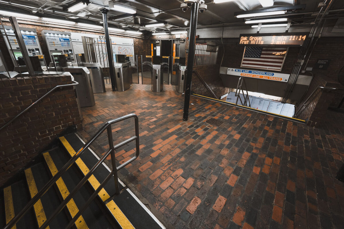
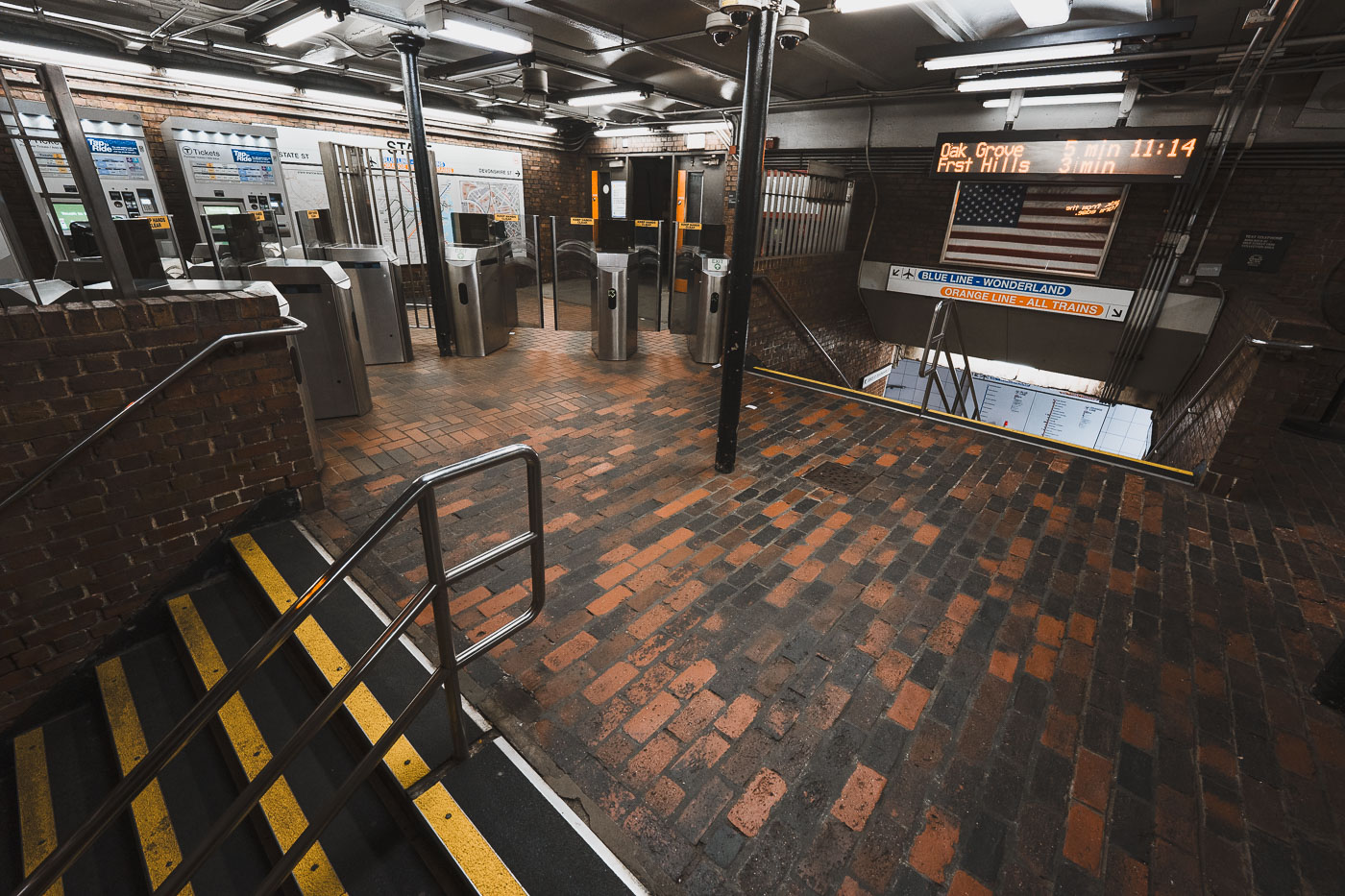
State Street Station fare gates on the MBTA Orange Line in downtown Boston, Massachusetts.
State Street Station sits beneath Boston's Financial District, where the MBTA's Orange and Blue Lines cross paths. Riders can transfer between the two lines here without paying an additional fare, one of only a handful of free interchange points in the subway system. The station's Orange Line platforms opened in 1904 as part of the original Main Line Elevated, while the Blue Line connection followed in 1916. It remains one of downtown Boston's busiest transfer points, linking commuters to nearby Faneuil Hall and the Custom House district above.

Fare Gates at State Street Station, Boston
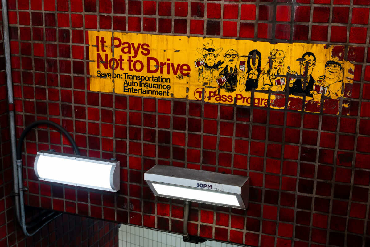
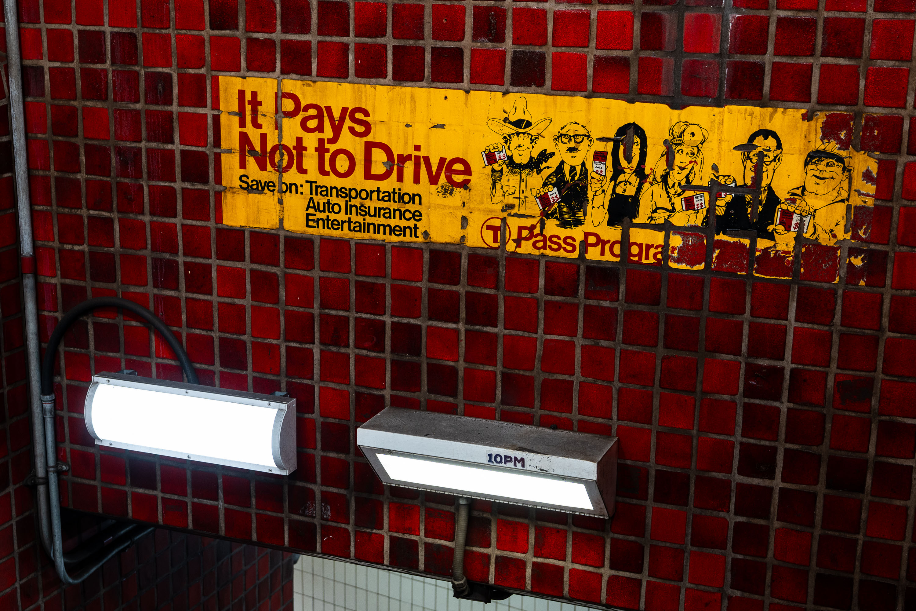
Vintage "It Pays Not to Drive" T Pass Program advertisement on red tile wall in Boston MBTA subway station.
The "It Pays Not to Drive" ad is a vintage T Pass Program advertisement preserved on the tile wall at Park Street Station. It promoted the MBTA's discounted pass program by pitching savings on transportation, auto insurance, and entertainment for riders who left their cars at home. Park Street Station opened in 1897 as part of the country's first subway system, and its red-tile walls still carry advertising relics like this one from past decades of MBTA marketing.

“It Pays Not to Drive” Ad at Park Street Station
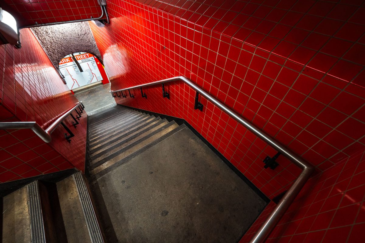
Park Street Station stairwell in Boston's MBTA system features distinctive red tile walls and metal handrails.
Park Street Station opened on September 1, 1897, as part of the Tremont Street Subway, making it the oldest operating subway station in the United States. Built beneath Boston Common, it now functions as the MBTA's main transfer point between the Red and Green Lines. The red tile work seen throughout the station dates to a 1970s renovation, which replaced the original cream-colored finishes installed by the Boston Transit Commission. It remains one of the system's busiest stations, handling tens of thousands of riders daily.

Red-Tiled Stairwell at Park Street Station
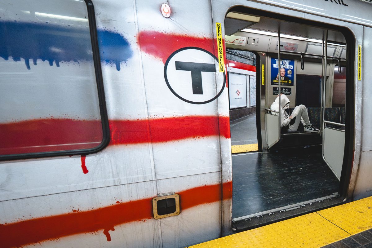
Vandalized MBTA Red Line train at Park Street Station in Boston with graffiti covering the exterior.
Park Street Station opened in 1897 as one of four original stops on the country's first subway tunnel and now serves as the transfer point between the Red and Green Lines. The Red Line itself runs about 22.5 miles from Alewife in Cambridge to the twin terminals at Ashmont and Braintree, making it the longest line in the MBTA system. Its cars, built by Bombardier and later replaced by CRRC, carry roughly 240,000 riders a day in normal years, more than any other MBTA line.

Paint-Streaked Red Line Train at Park Street Station
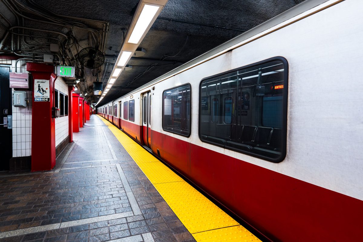
MBTA Red Line train stopped at Park Street Station platform in Boston.
Park Street Station opened in 1897 as part of the Tremont Street Subway, the first subway system built in the United States. It sits beneath Boston Common and serves as the transfer point between the MBTA's Red and Green Lines. The station's twin platforms handle tens of thousands of riders daily, linking downtown Boston to Cambridge, Dorchester, and points south. The Tremont Street Subway, including Park Street Station, is listed on the National Register of Historic Places and designated a National Historic Civil .

A Red Line Train Waits at Park Street Station
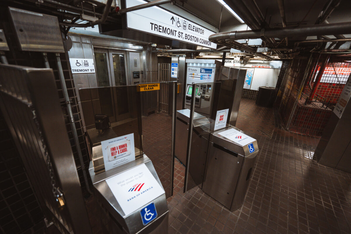
Fare gates and ticket machines at Park Street Station on Boston's MBTA Red and Green Lines.
Park Street opened in September 1897 as part of the Tremont Street Subway, the first subway tunnel built in the United States. The station sits beneath Boston Common and serves as a transfer point between the Green Line and Red Line, making it one of the busiest stops in the MBTA system. Its Tremont Street entrance leads directly to the Common and connects to nearby Park Street Church and the Massachusetts State House. The station is listed on the National Register of Historic Places as part of the Tremont Street Subway's original tunnel system.

Fare Gates at Park Street Station Near Boston Common
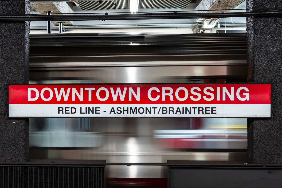
Downtown Crossing Red Line platform sign for Ashmont/Braintree branch at Boston's MBTA station.
Downtown Crossing is a key transfer point on the MBTA's Red Line, linking Ashmont and Braintree branch trains to destinations south of the city. The station opened in 1908 as Winter Street on the old Tremont Street subway, then took its current name in 1975 to reflect the shopping district above, once anchored by Filene's and Jordan Marsh. It also connects to the Orange Line, making it one of the busiest interchange points in the MBTA system.

Downtown Crossing’s Red Line Sign for Ashmont and Braintree

© 1996–2026 Chad Davis