Subway

145 photos · 2005–2025

145 photographs tagged Subway, 2005–2025.
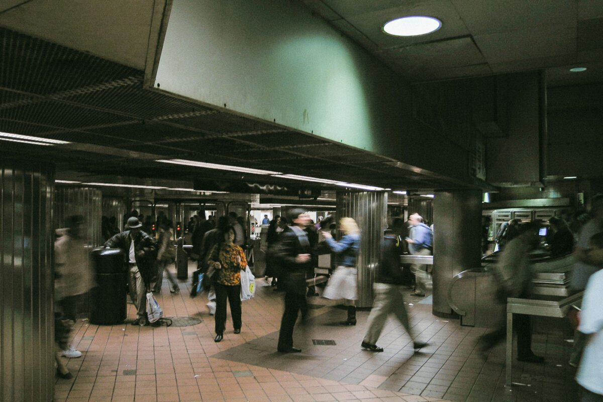
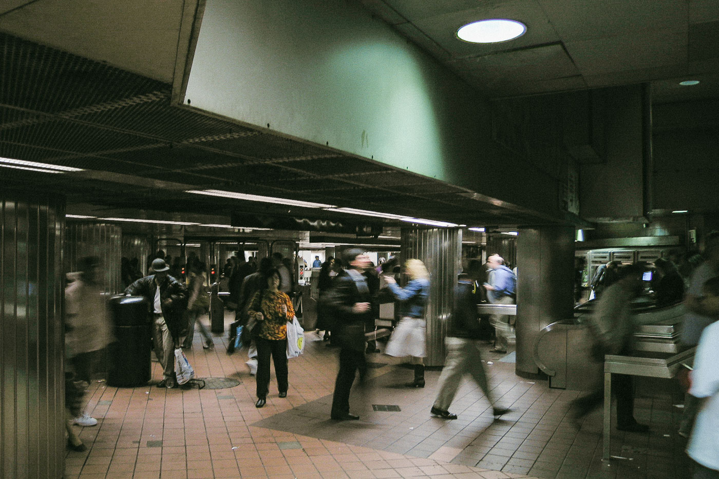
Passengers move through a New York City subway mezzanine with turnstiles and fare control equipment.
Commuters pass through a subway mezzanine in New York City, moving between turnstiles and fare control equipment toward the platforms. The New York City subway opened in 1904 and is one of the largest rapid transit systems in the world by number of stations.

Commuters Cross a New York City Subway Mezzanine
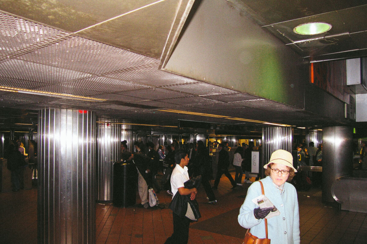
Commuters move through a New York City subway station mezzanine with turnstiles and overhead lighting.
Subway concourse, New York City. Commuters move through a mezzanine area with turnstiles and escalator access in the New York City Subway system.

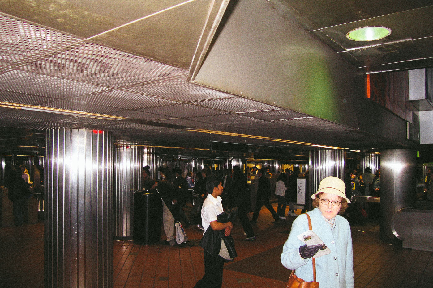
Woman in a Sun Hat at a Subway Station Mezzanine
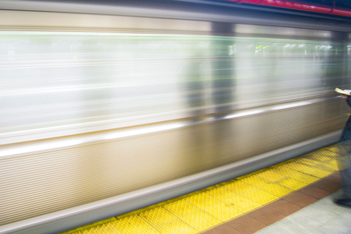
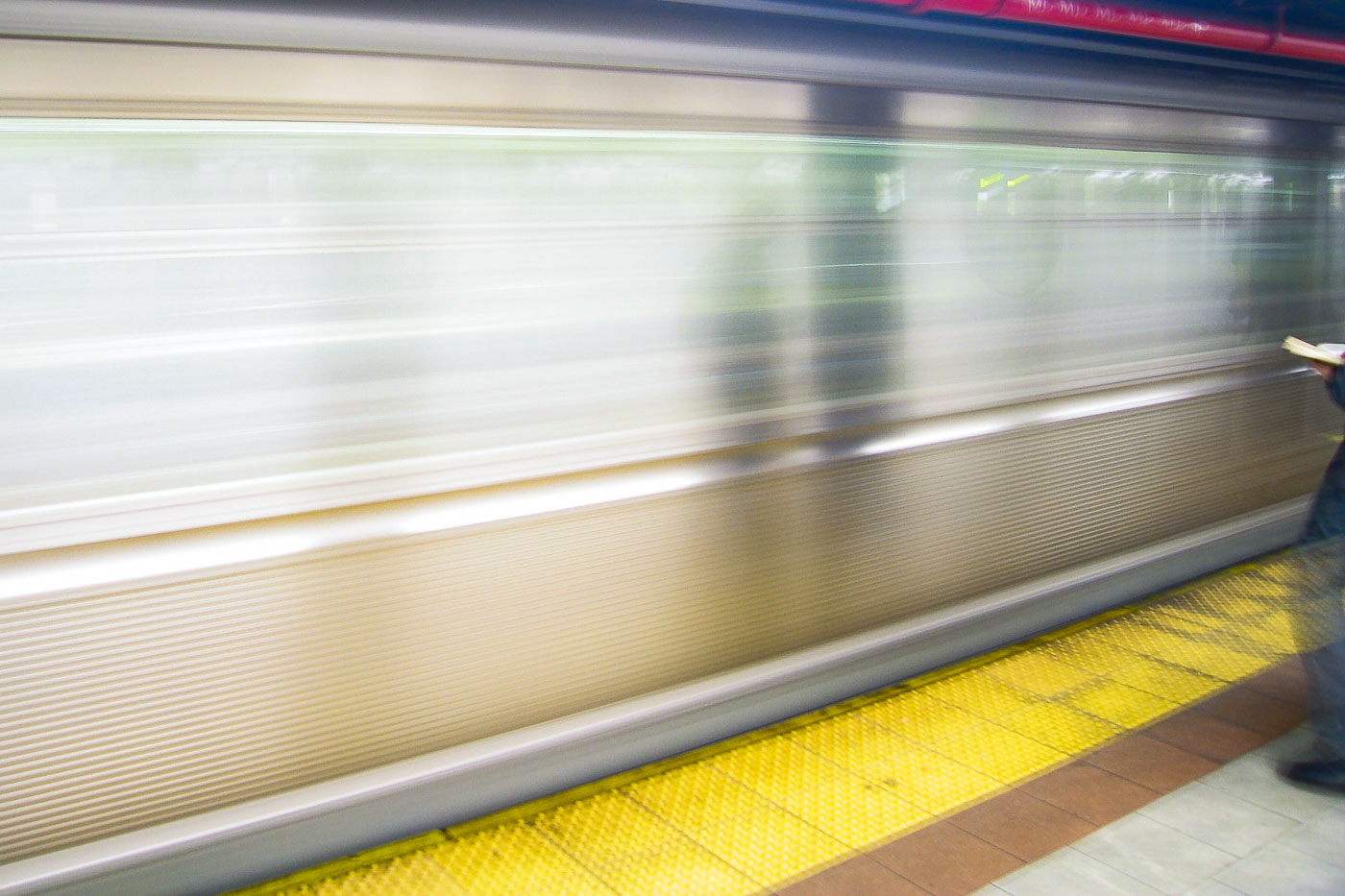
A moving New York City subway train passes a station platform with a yellow tactile warning strip.
A New York City subway train passes through a station platform lined with a yellow tactile warning strip. The platform edge strip, standard across the subway system, warns waiting riders to stay back from the tracks.

A New York City Subway Train Speeds Through a Station
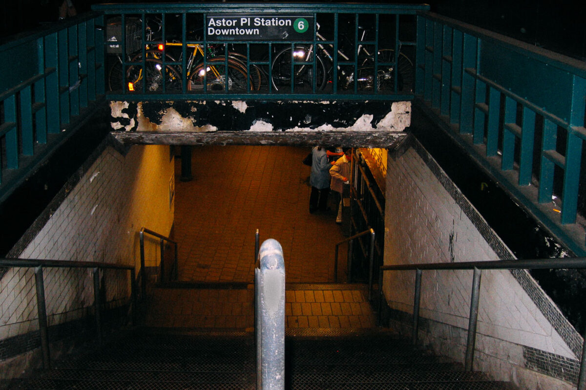
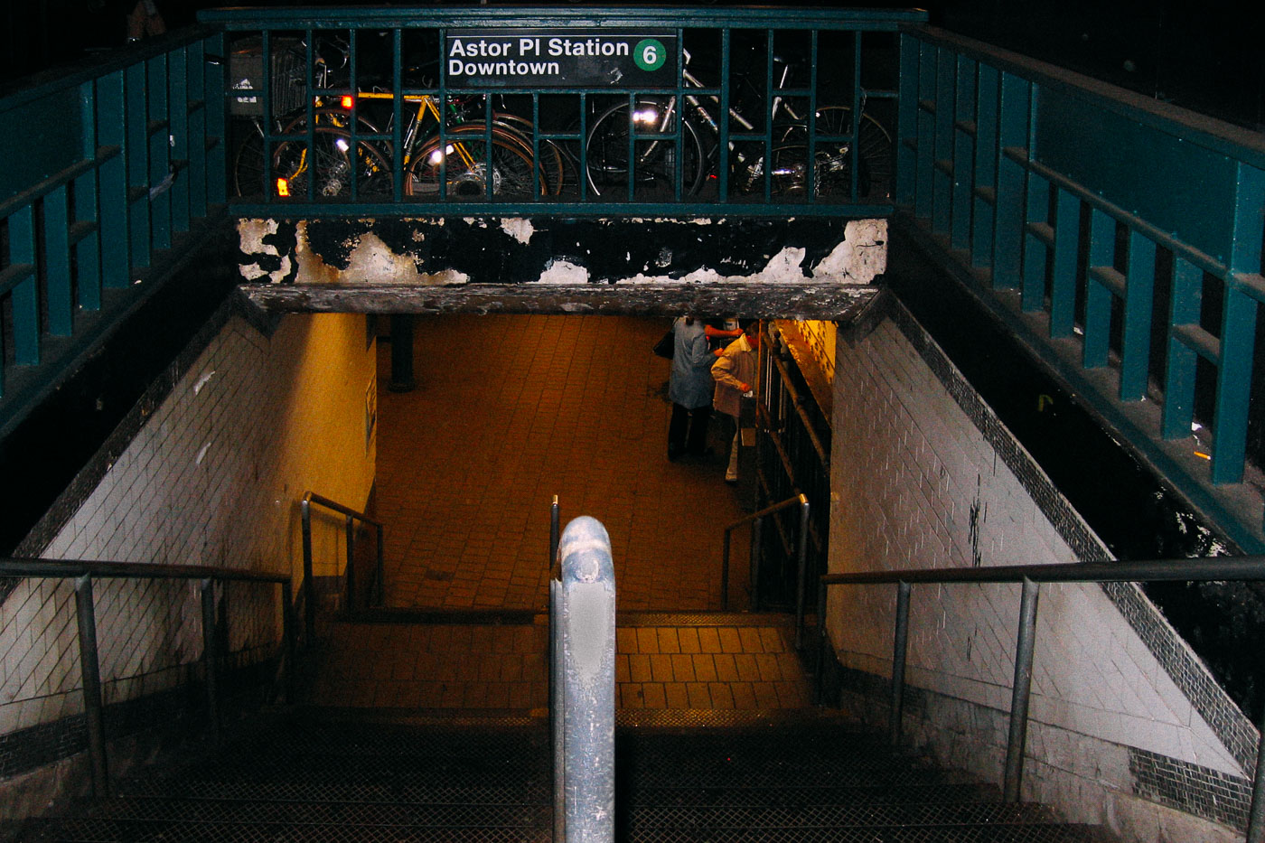
Stairway descending into Astor Place Station's downtown 6 entrance in Manhattan's East Village.
Astor Place Station is a local stop on the IRT Lexington Avenue Line of the New York City Subway, serving the 6 train in Manhattan's East Village. It opened in 1904 as one of the original stations on the city's first subway line. This entrance leads to the downtown platform.

Downtown 6 Entrance at Astor Place Station
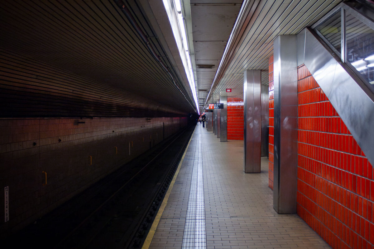
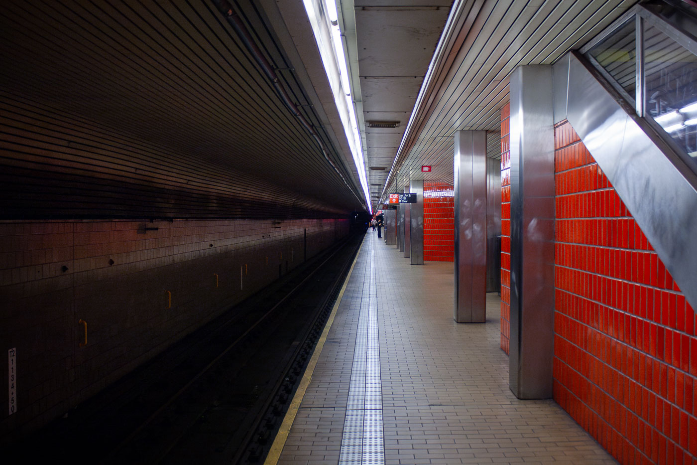
Empty platform at Lexington Avenue–63rd Street subway station in Manhattan with red brick wall and metal support columns.
Lexington Avenue–63rd Street station platform in Manhattan. Opened in 1989 as part of the 63rd Street Tunnel project, the station links the Upper East Side with Queens through the IND 63rd Street Line. It is served by the F train at all times and by the Q train on weekdays.

Red-Tiled Platform at Lexington Avenue–63rd Street Station
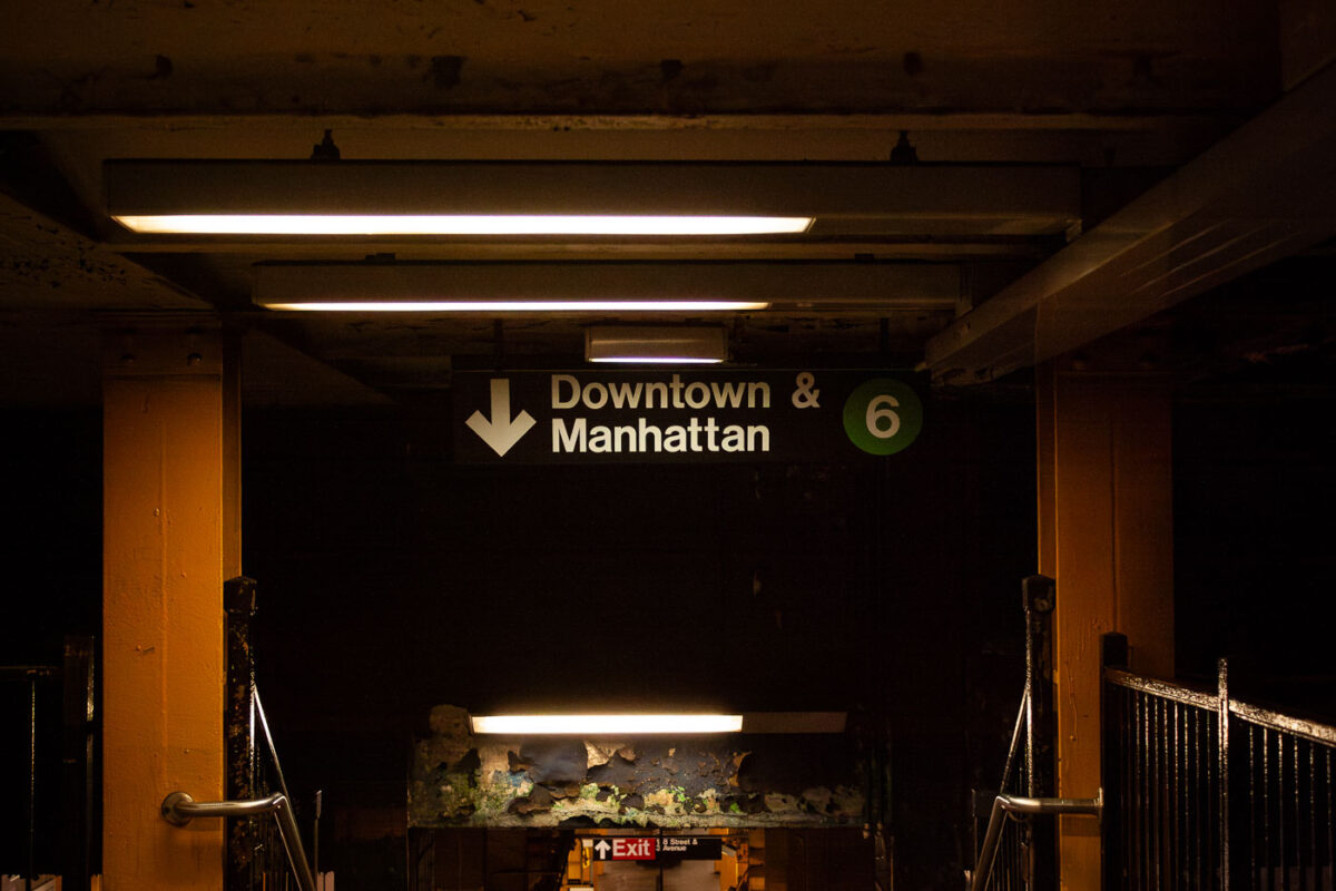
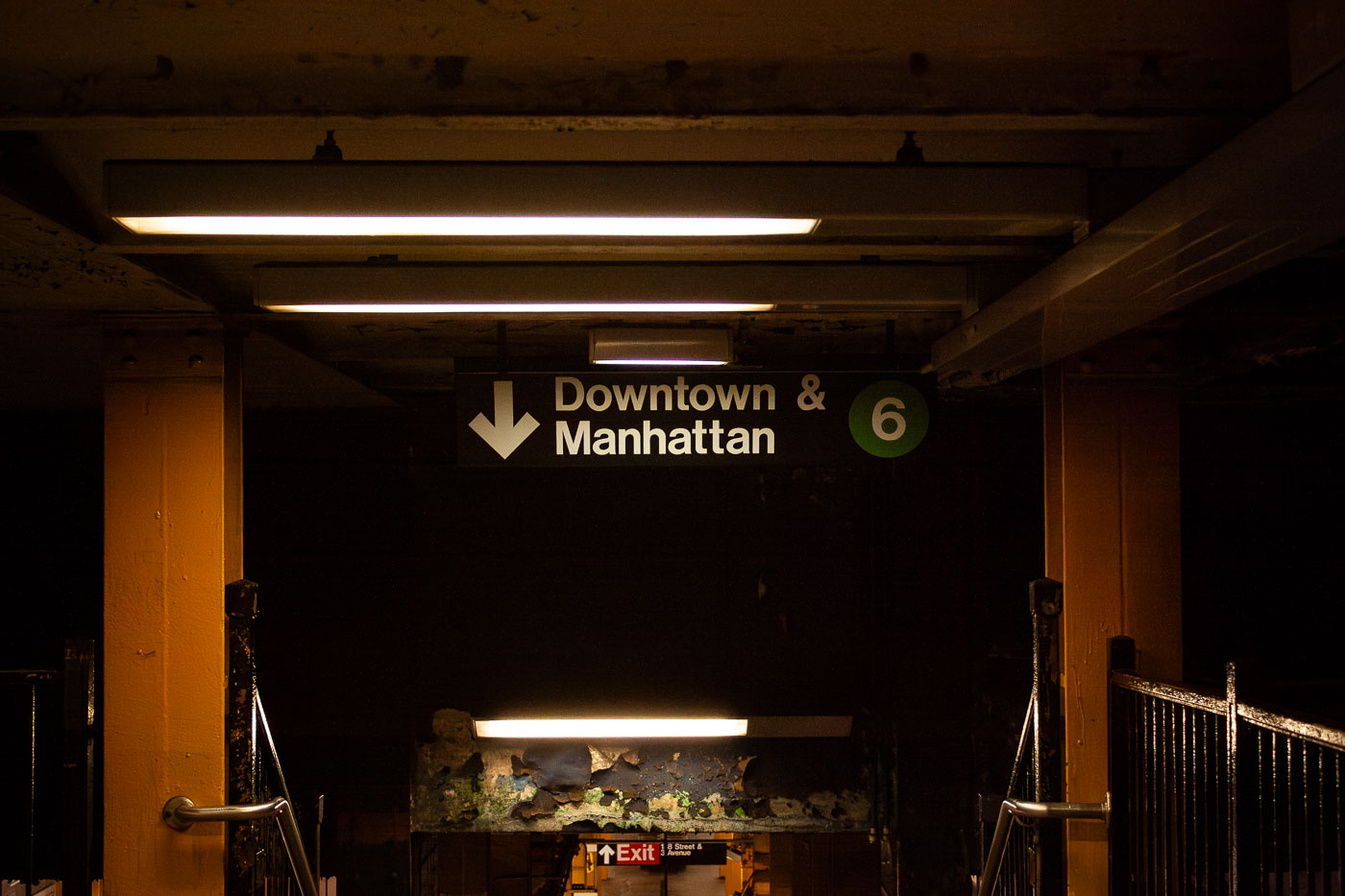
Subway station sign for Downtown & Manhattan 6 train with green route marker and directional arrow.
Downtown & Manhattan 6 train entrance in the New York City Subway. The sign directs riders to the southbound Lexington Avenue Line local service, identified by the green 6 route marker. This entrance leads from the station mezzanine down to the downtown platform.

“Downtown & Manhattan” Sign Above the 6 Train Stairway
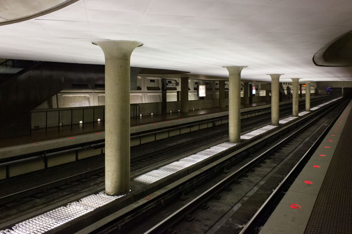
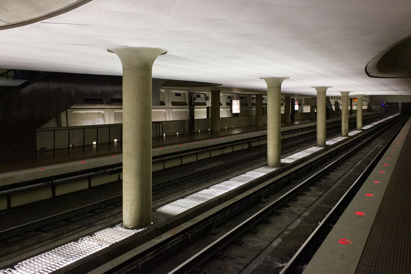
Crystal City Station platforms and tracks on the Washington Metro in Arlington, Virginia, featuring distinctive concrete columns and early Metro architectural style.
The Crystal City station, opened in 1977, serves as a crucial transfer point for the Washington Metro's Blue and Yellow Lines in Arlington, Virginia. Its side platforms and distinctive concrete columns are characteristic of the Metro's early architectural style. The station's underground connection to local businesses and restaurants highlights its integration into the Crystal City neighborhood's urban fabric.

Crystal City Station Platforms and Tracks, Washington Metro
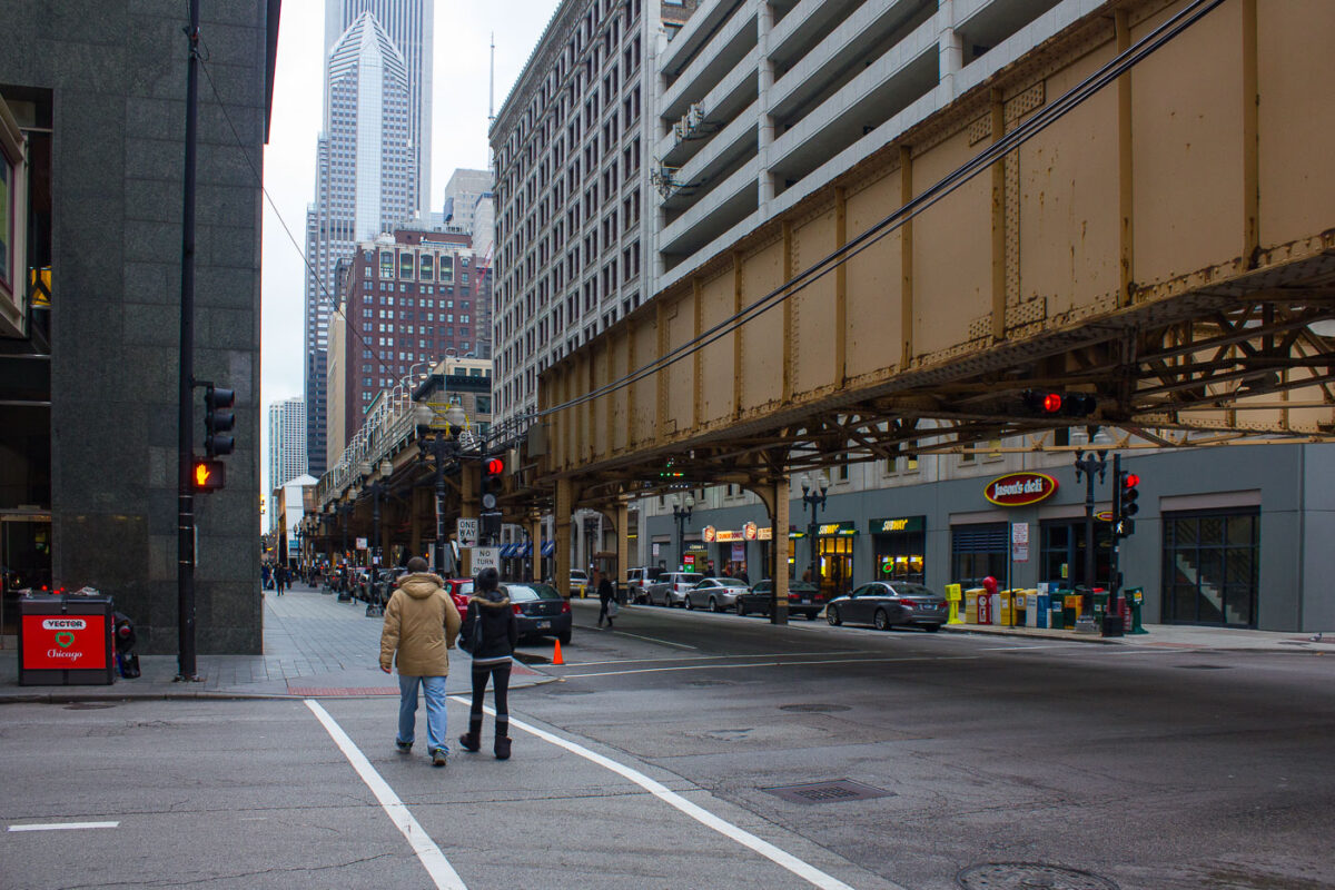
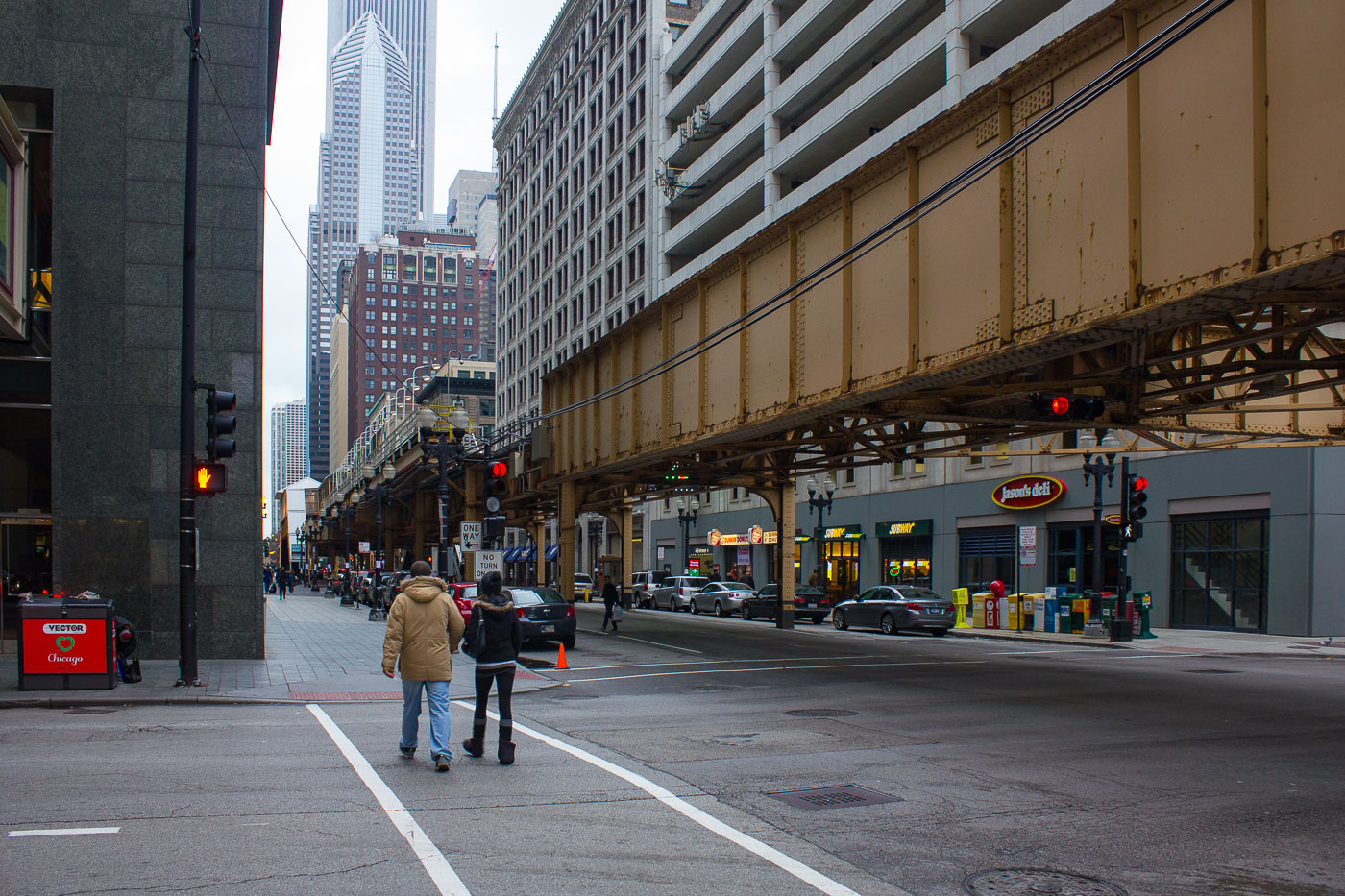
Lake Street elevated 'L' tracks cross Dearborn Street in Chicago's Loop.
Lake Street elevated 'L' tracks run above Lake Street at Dearborn Street in Chicago's Loop. The structure is part of the CTA's Loop Elevated, the rail circuit that carries rapid transit through the central business district. Built in stages in the late 19th century, Chicago's elevated system remains a core connection between downtown and surrounding neighborhoods.

Lake Street ‘L’ Tracks at Dearborn Street, Chicago
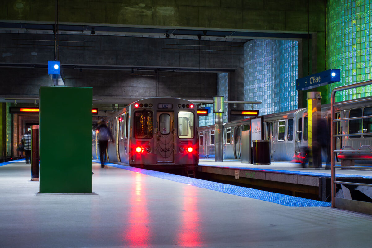
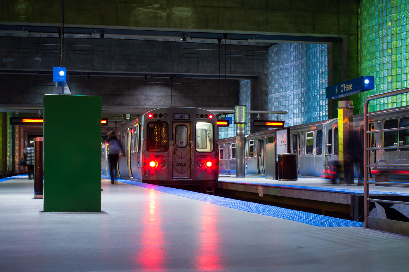
CTA Blue Line train at O'Hare station platform in Chicago.
CTA Blue Line train at O'Hare station in Chicago, the airport terminal station for rapid transit service to downtown and the West Side. The underground station opened in 1984 as part of the extension of the Blue Line to O'Hare International Airport. Its platforms connect with the airport terminals and include glass-block walls and broad island platforms designed for airport passenger circulation.

Blue Line Train Arriving at O’Hare’s Underground Platform
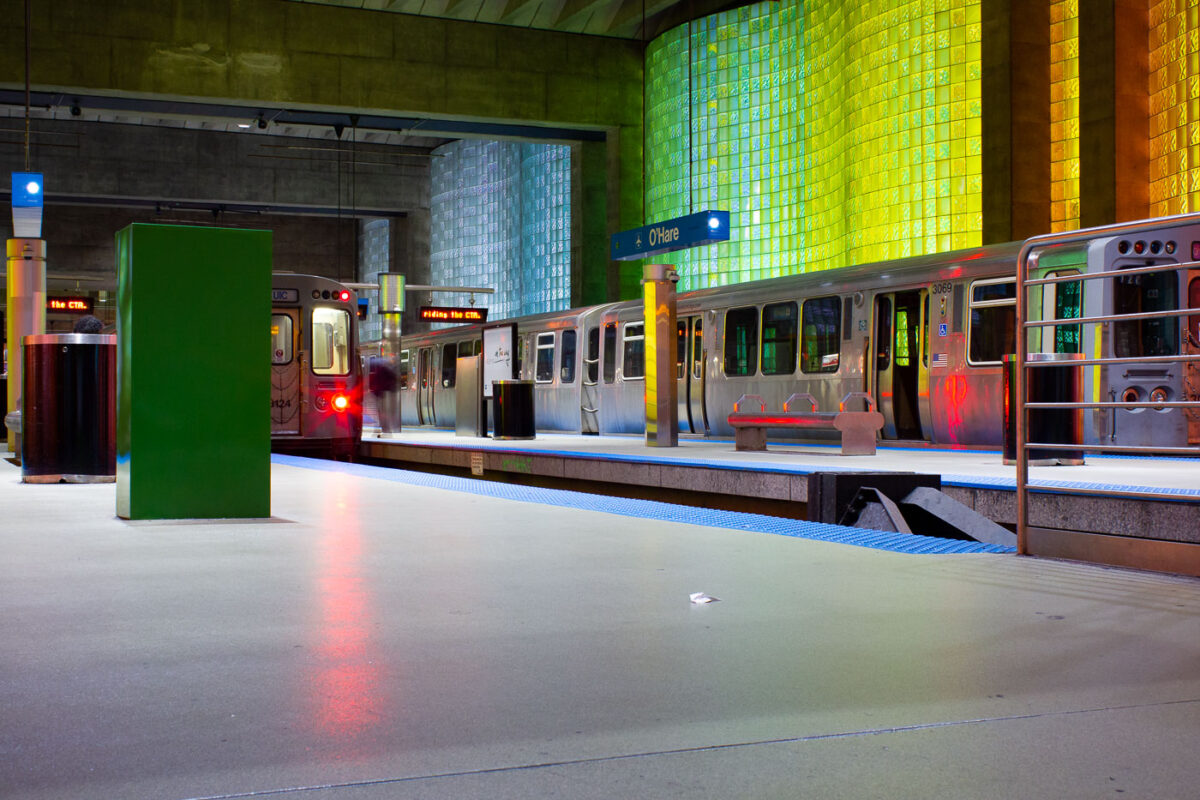
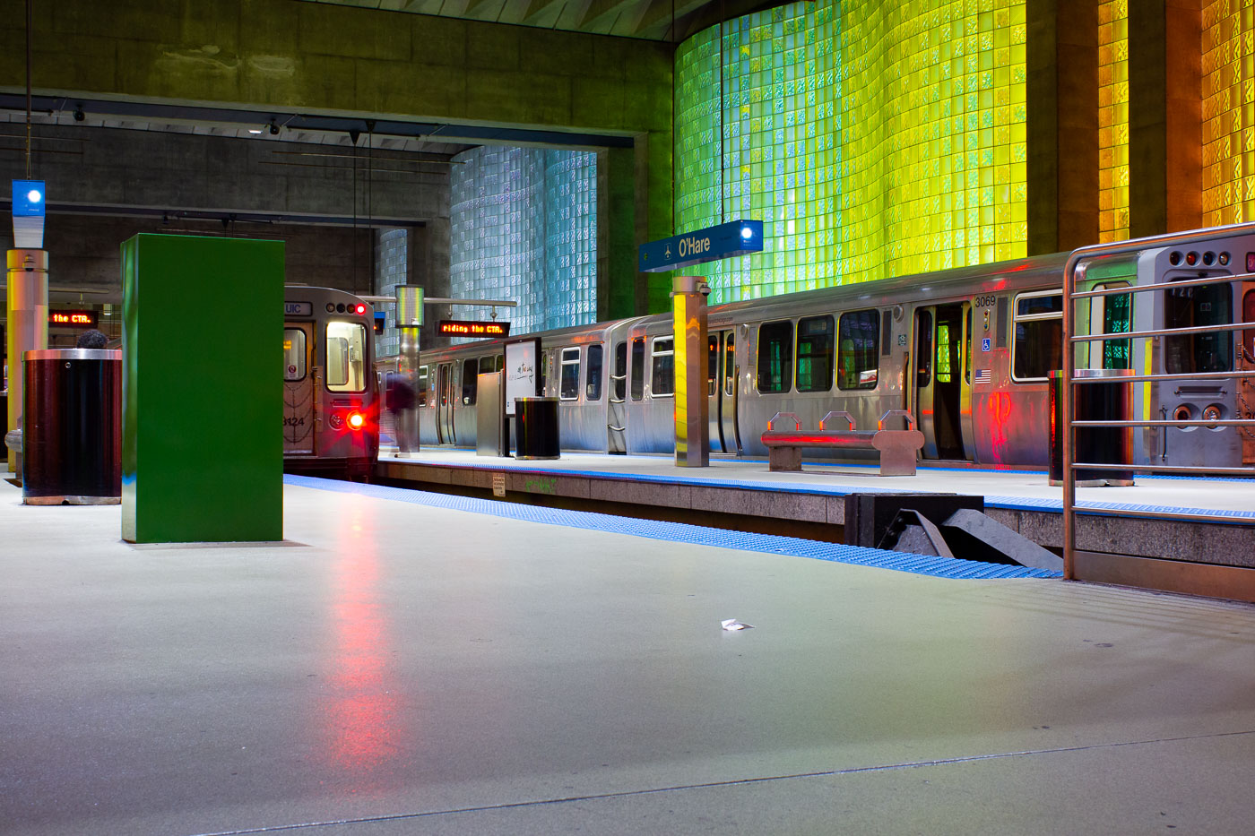
CTA Blue Line trains at O'Hare station platform in Chicago with illuminated yellow-green wall.
CTA Blue Line trains at O'Hare station in Chicago are at the rapid-transit terminal for O'Hare International Airport. Opened in 1984, the station is the western end of the CTA Blue Line. It provides a direct rail connection between the airport terminals and downtown Chicago.

Blue Line Train Arriving at O’Hare’s Rapid-Transit Terminal
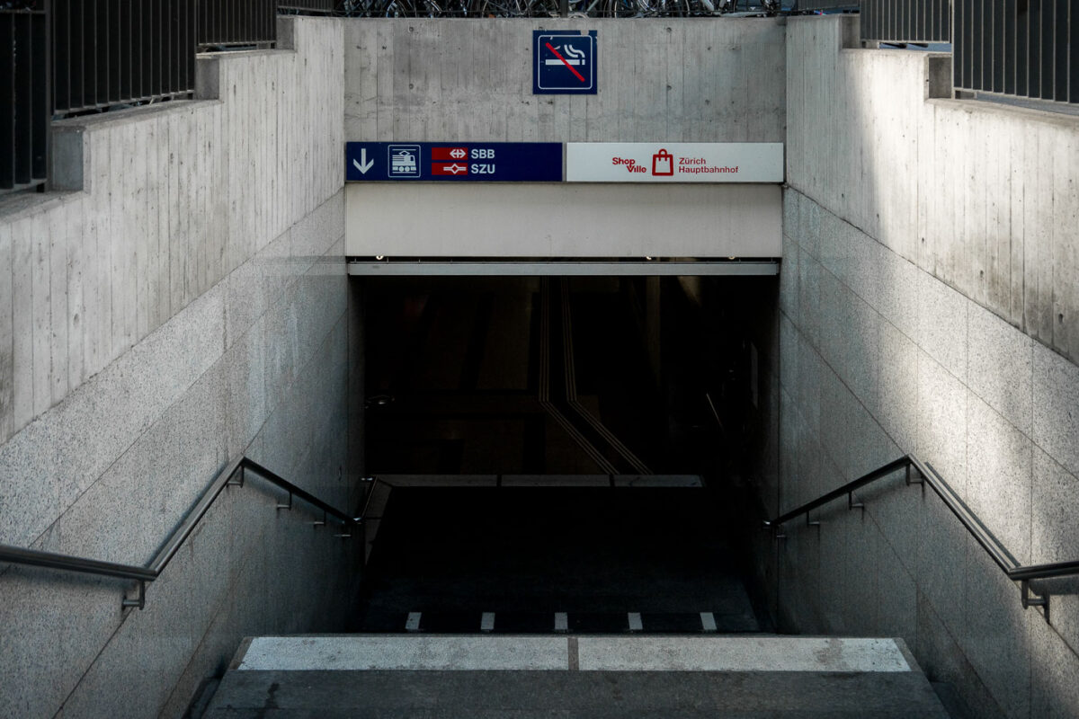
Underground staircase entrance to Zürich Hauptbahnhof with SBB and SZU rail signage.
Zürich Hauptbahnhof in Zürich, Switzerland, has an underground entrance leading to the SBB and SZU rail lines and ShopVille. The station connects the main Swiss Federal Railways network with the SZU suburban system beneath the central terminal.

Stairway to ShopVille and SBB Platforms at Zürich Hauptbahnhof
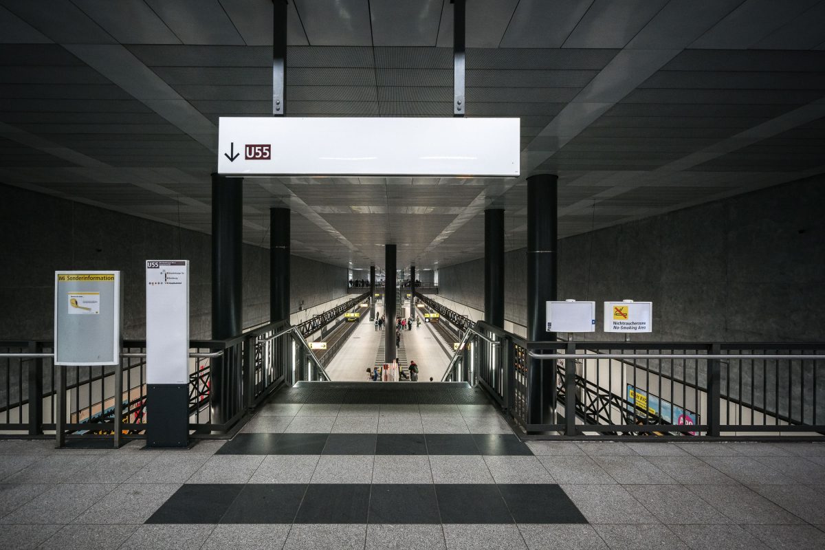
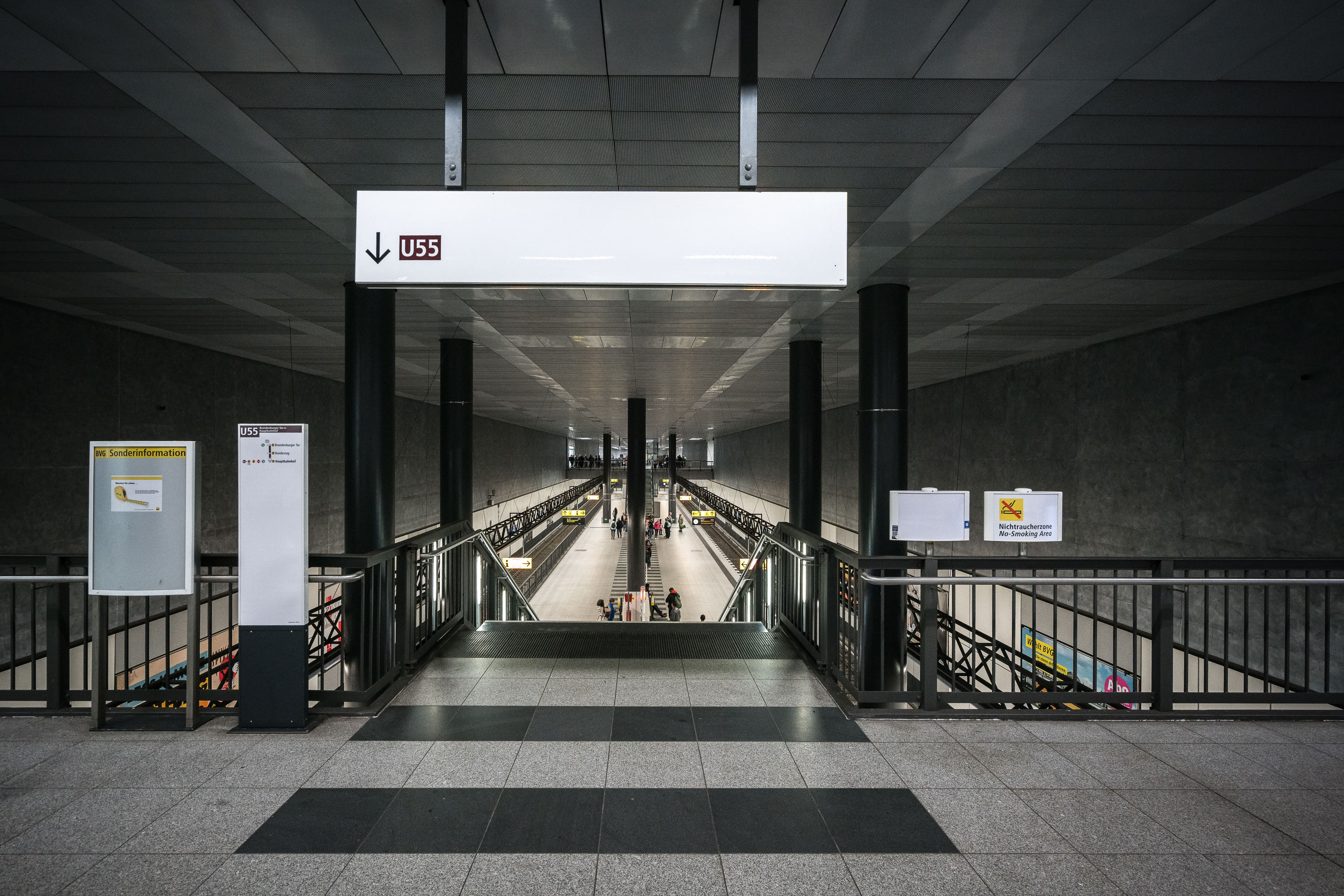
U55 platform at Berlin Hauptbahnhof with symmetrical stairways descending to twin underground train tracks.
The U55 line platform lies beneath Berlin Hauptbahnhof, Germany's central railway station. Opened in 2009, the short line was built to connect the station with the Brandenburg Gate area before later merging into the U5 line in 2020. Its symmetrical concourse features paired escalators and stairways descending to twin platforms serving both directions of the underground route. The station's minimalist gray and black finishes are typical of Berlin's modern U-Bahn extensions built in the early 2000s.

Stairway Down to the U55 Platform at Berlin Hauptbahnhof
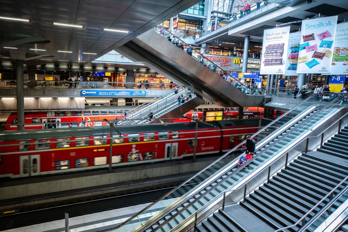
Red regional train at platform level below escalators and shopping concourse at Berlin Hauptbahnhof.
Berlin Hauptbahnhof is Germany's largest railway station and a key interchange in the national and Berlin S-Bahn rail networks. The station's multi-level design stacks regional and long-distance platforms beneath upper concourses lined with shops and services, connected by a network of escalators and stairways. Opened in 2006, it replaced several older Berlin terminals to consolidate east-west and north-south rail traffic through the city center.

Multiple Levels of Escalators and Platforms at Berlin Hauptbahnhof
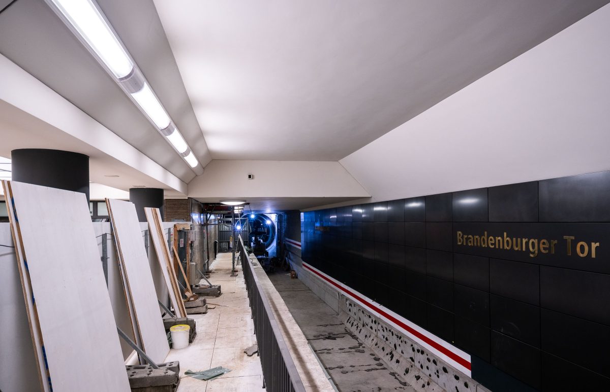
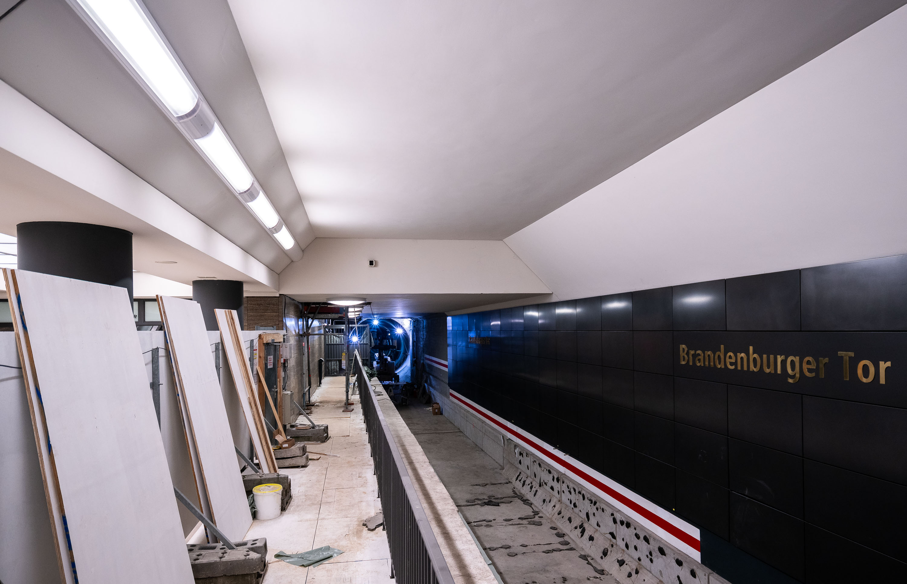
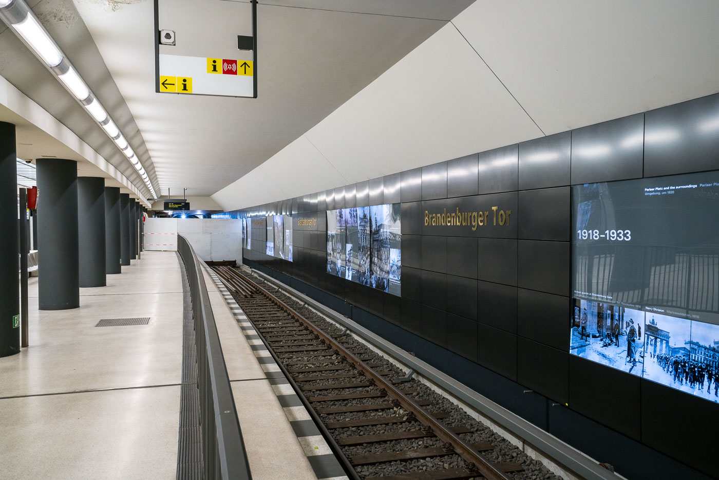
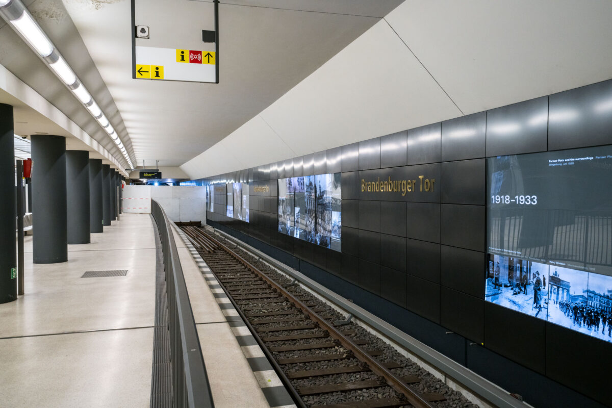
Brandenburger Tor U-Bahn station platform under construction with building materials staged along the tunnel and gold lettering on dark tiled walls.
Brandenburger Tor station serves Berlin's U55/U5 line, linking the area near the Brandenburg Gate with Alexanderplatz since the line's 2020 extension. Its dark tiled walls and gold lettering are consistent with the design used throughout the newly built U5 stations. At the time of this photo, the platform remained under construction, with building materials and equipment staged along its length. Work lighting illuminates the tunnel bore beyond the platform edge, where finishing work was still underway.

Construction Materials Along the Brandenburger Tor Platform
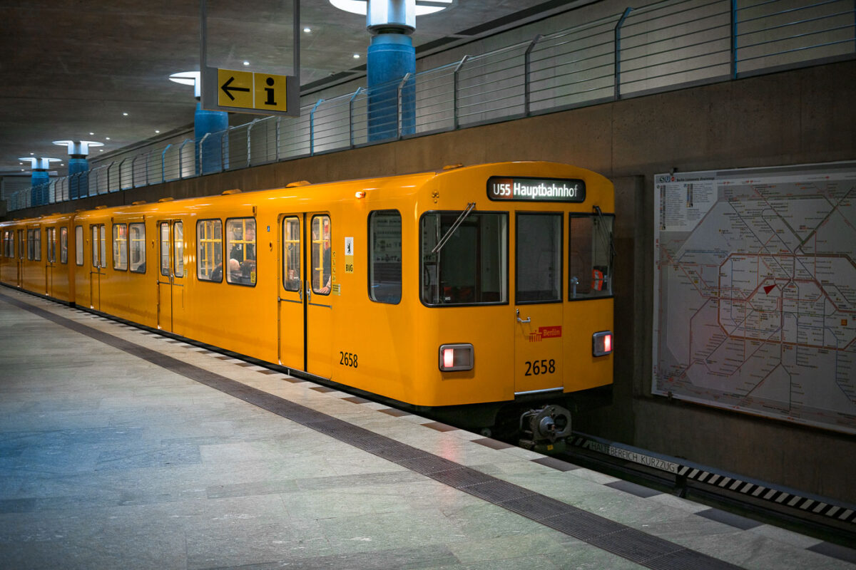
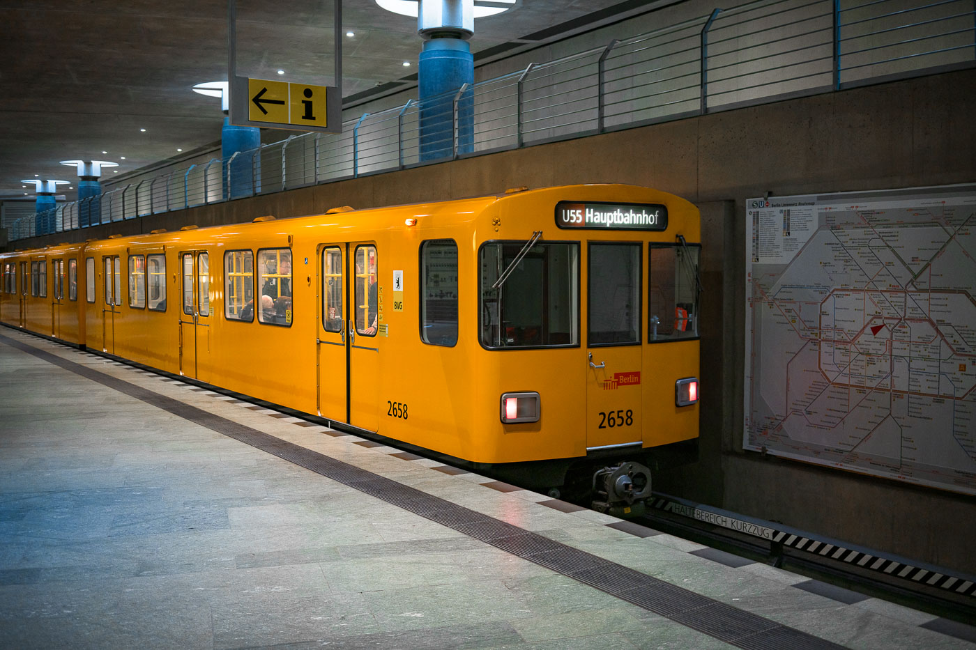
Yellow U55 shuttle train number 2658 at Berlin Hauptbahnhof underground platform in Germany.
A U55 shuttle train stands at the underground platform of Berlin Hauptbahnhof in Berlin, Germany. The short U-Bahn line connected the central station with Brandenburger Tor before being incorporated into the extended U5 in 2020.

U55 Train Bound for Hauptbahnhof at the Platform
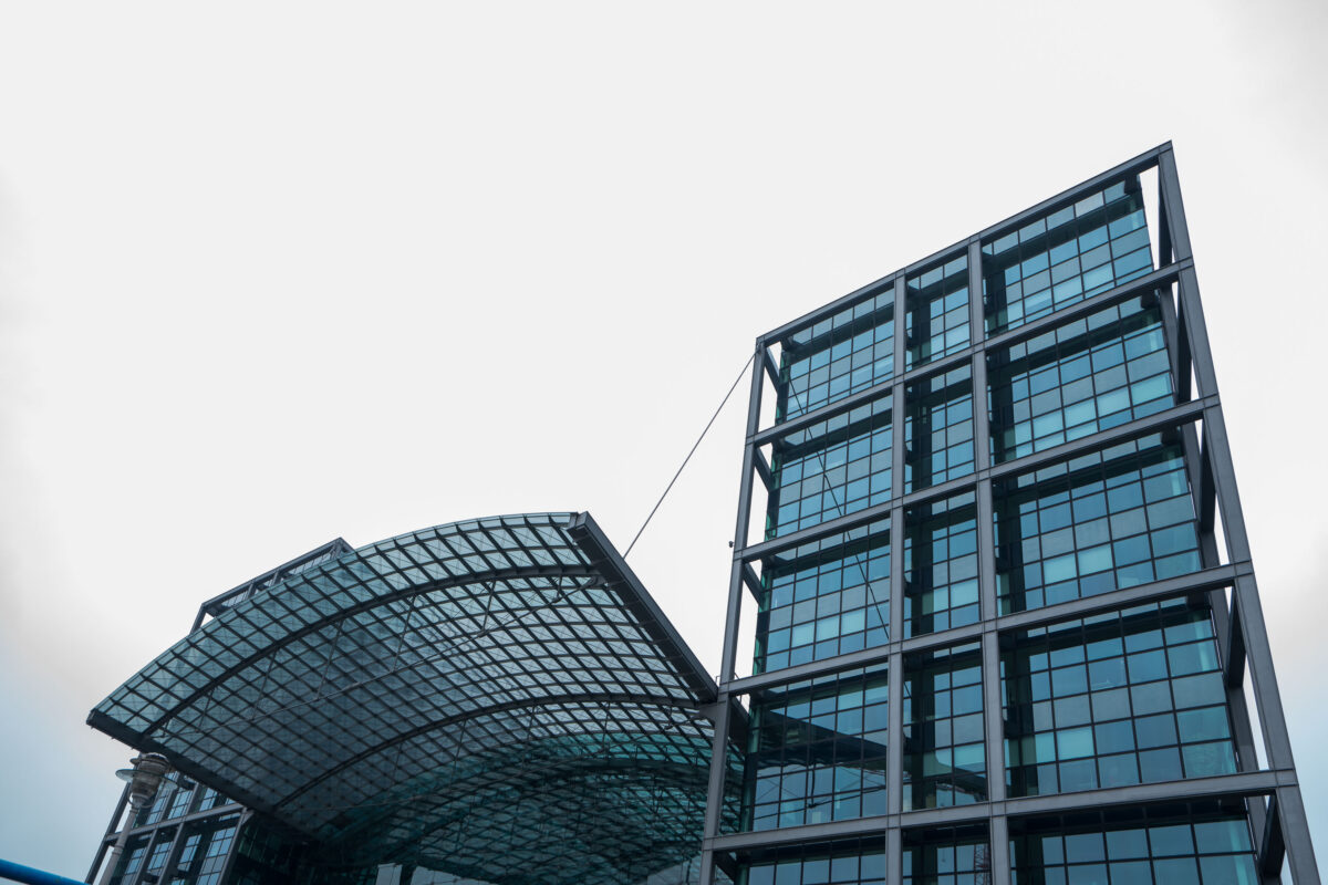
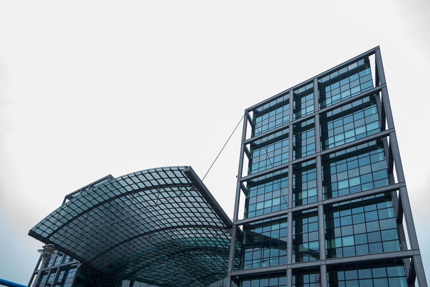
Modern glass and steel entrance structure of Berlin Hauptbahnhof, the city's central railway station opened in 2006.
Berlin Hauptbahnhof in Berlin is the city’s central railway station and a major hub for long-distance, regional, and S-Bahn services. Opened in 2006, the station replaced the former Lehrter Bahnhof on this site and is known for its multi-level layout and glass-and-steel architecture.

Glass Roof and Tower at Berlin Hauptbahnhof

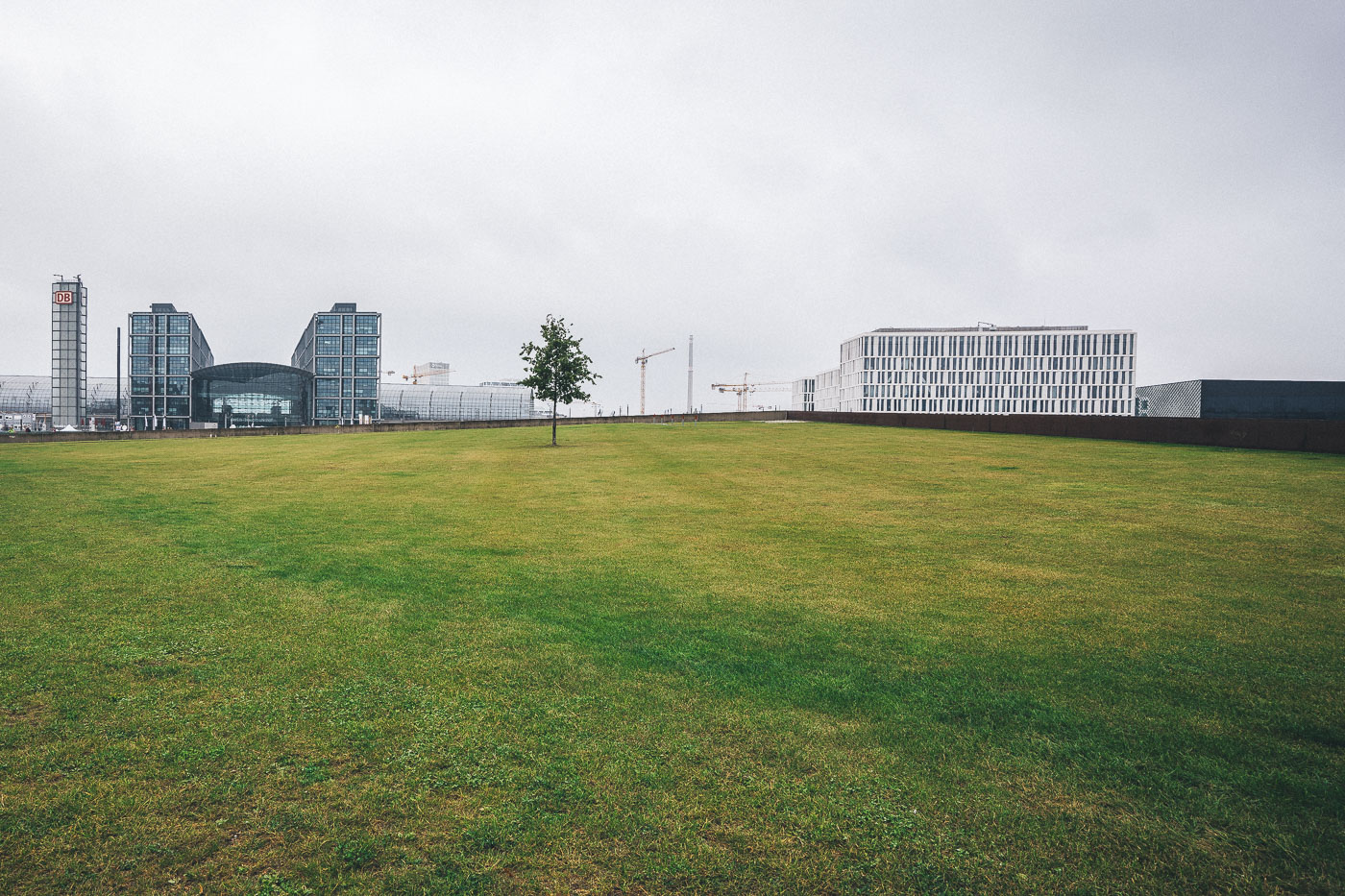
Open lawn extends before Berlin Hauptbahnhof's glass concourse and Federal Quarter office buildings in Berlin.
Berlin Hauptbahnhof and the surrounding Federal Quarter are shown in Berlin, with the station’s glass concourse and adjacent office buildings visible beyond an open lawn. The station, completed in 2006, is the city’s main rail hub and part of the government district near the Spree River.

Open Lawn Near Berlin Hauptbahnhof’s Federal Quarter
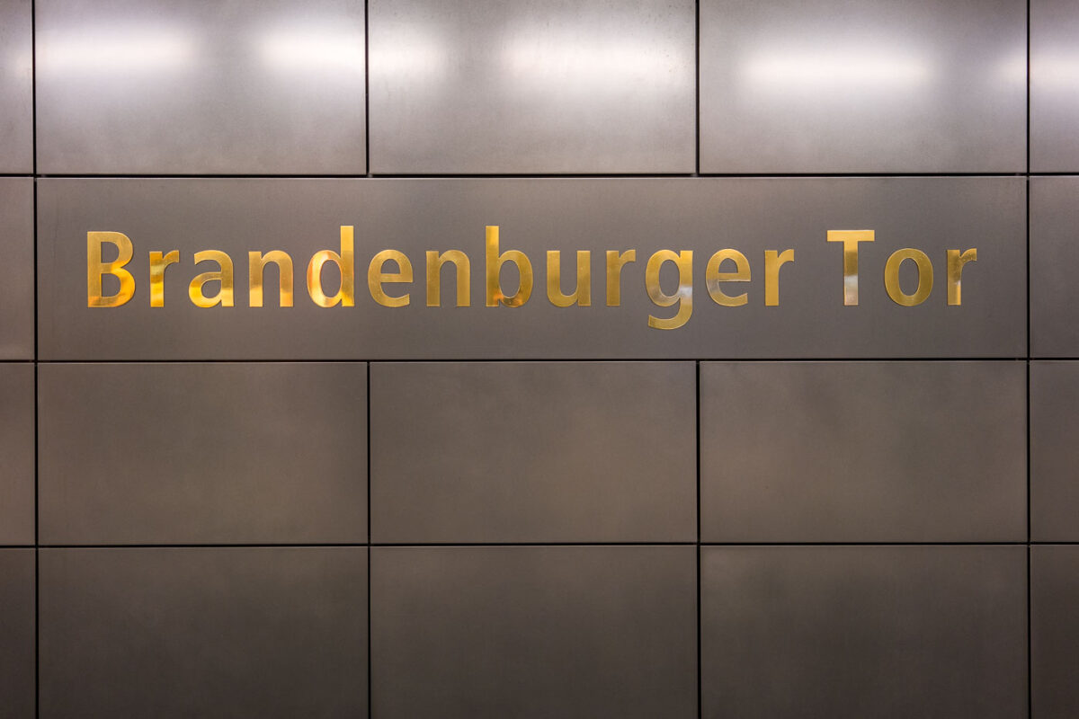
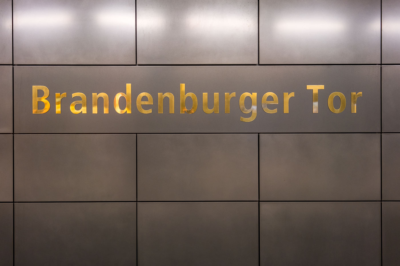
Gold lettering reading "Brandenburger Tor" on a dark tiled wall panel at the Berlin U-Bahn and S-Bahn station.
Brandenburger Tor station in Berlin is identified by gold lettering on dark metal wall panels. The station serves both the U-Bahn and S-Bahn near the Brandenburg Gate and Pariser Platz.

Gold Lettering at Brandenburger Tor Station
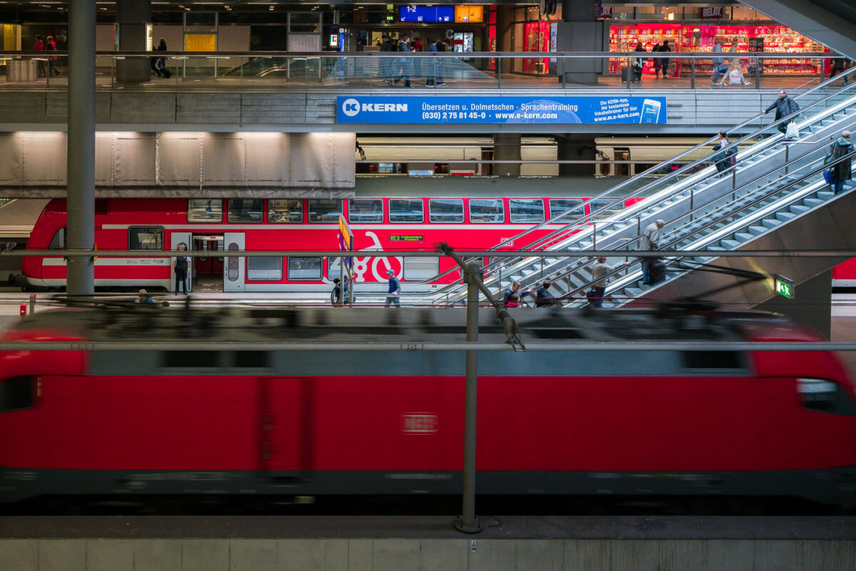
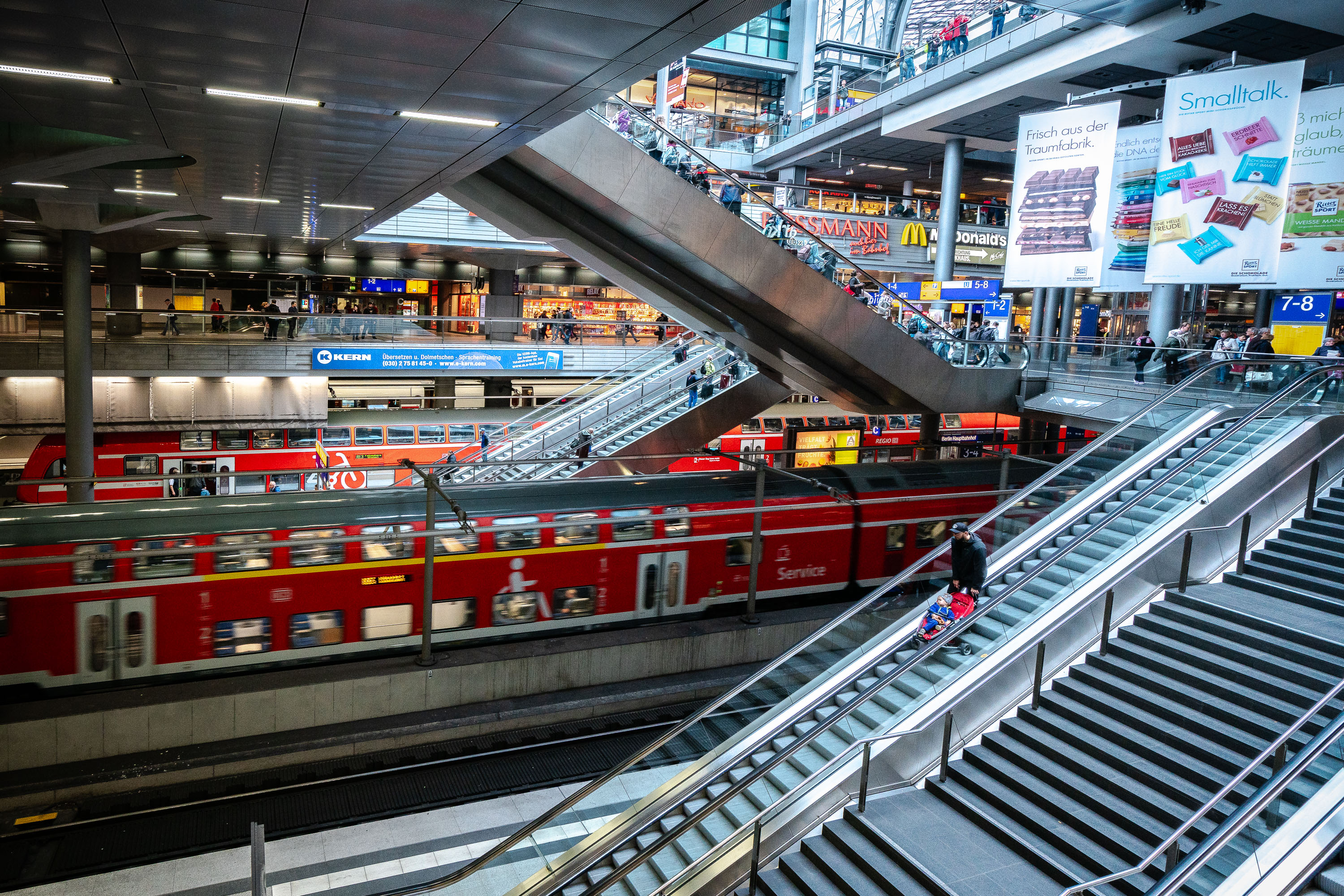
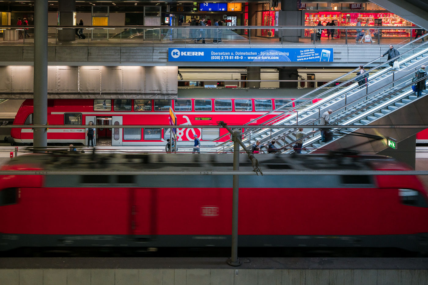
Red double-decker regional train at Berlin Hauptbahnhof platform with passengers on diagonal escalators.
Berlin Hauptbahnhof in Berlin contains multiple levels for regional and long-distance rail traffic. A red double-decker Regionalbahn train stands at a platform while passengers use the diagonal escalators linking the station concourses.

Escalators and Train Platforms at Berlin Hauptbahnhof
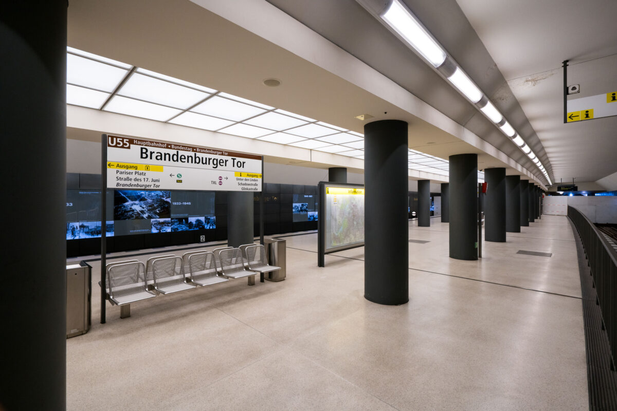
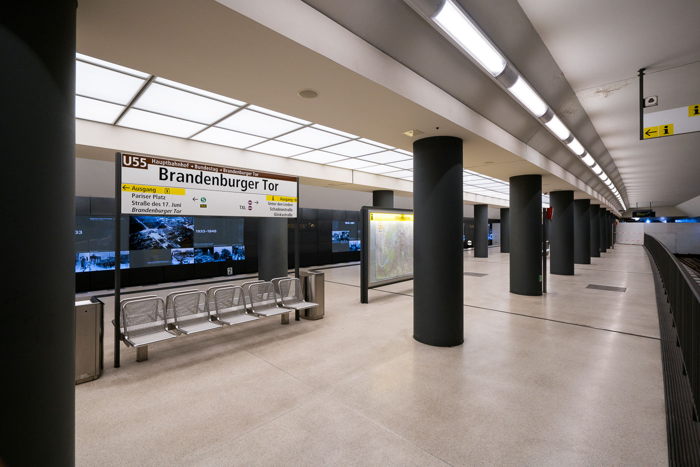
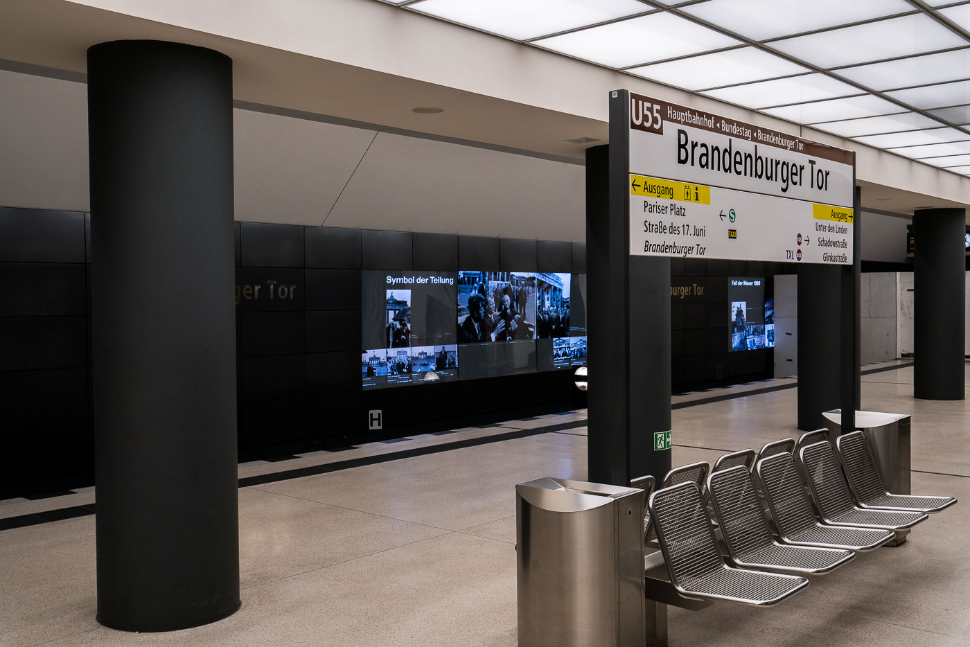
U55 platform at Brandenburger Tor U-Bahn station in Berlin with black support columns and illuminated ceiling.
Brandenburger Tor U-Bahn station in Berlin is served by the U55 line in this platform area. The station opened in 2009 and was later incorporated into the U5 extension in 2020. Black columns, illuminated ceiling panels, and wall displays line the platform.

Platform Signage at Brandenburger Tor Station
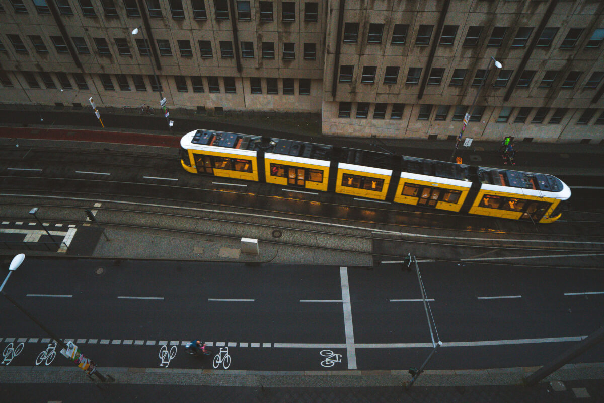
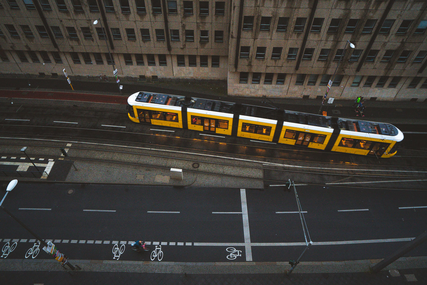
Yellow BVG tram traveling along wet Berlin street with cyclists and office buildings visible from above.
A yellow BVG tram runs along a wet street in Berlin. The tram shares the roadway with cyclists beside a large office building, and the wet pavement shows the vehicle’s lights along the tracks.

Aerial View of a BVG Tram Along Berlin’s Bike Lanes
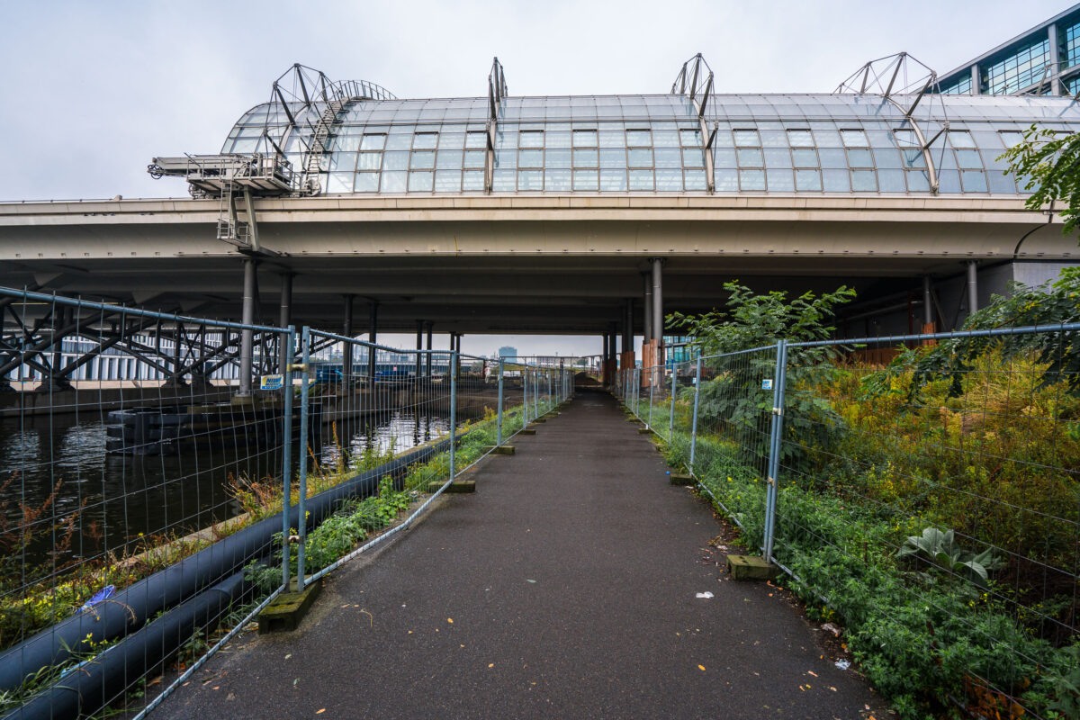
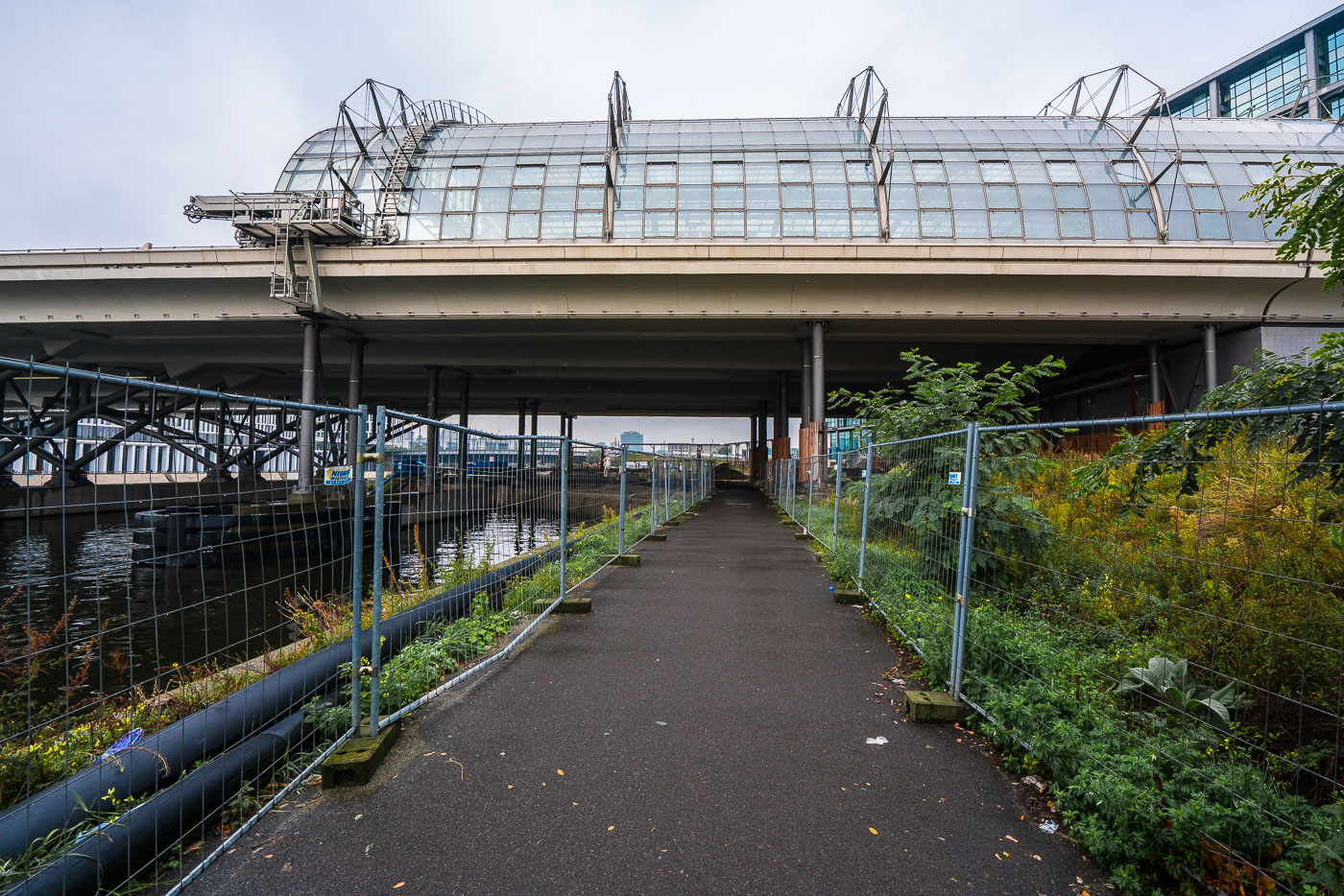
A fenced pedestrian underpass runs beneath Berlin Hauptbahnhof beside the Spree River in Berlin, Germany.
A fenced pedestrian path runs beneath Berlin Hauptbahnhof beside the Spree River in Berlin, Germany. The elevated station opened in 2006 as the city’s central rail hub, linking long-distance, regional, and S-Bahn services.

Fenced Path Beneath Berlin Hauptbahnhof’s Elevated Tracks
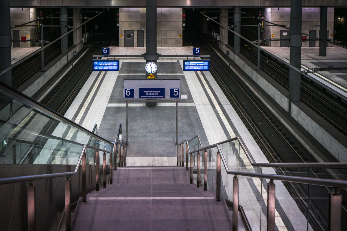
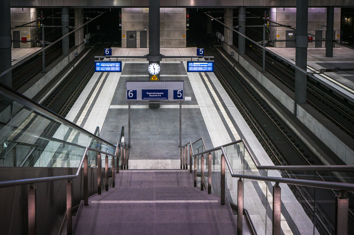
Symmetrical stairway descends to platforms 5 and 6 at Berlin Hauptbahnhof's underground train station level.
Berlin Hauptbahnhof’s lower-level platforms for tracks 5 and 6 are shown in the deep north-south rail link beneath the station in Berlin, Germany. Opened with the station in 2006, this level carries long-distance and regional trains through the Tiergarten Tunnel.

Stairway to Tracks 5 and 6 at Berlin Hauptbahnhof
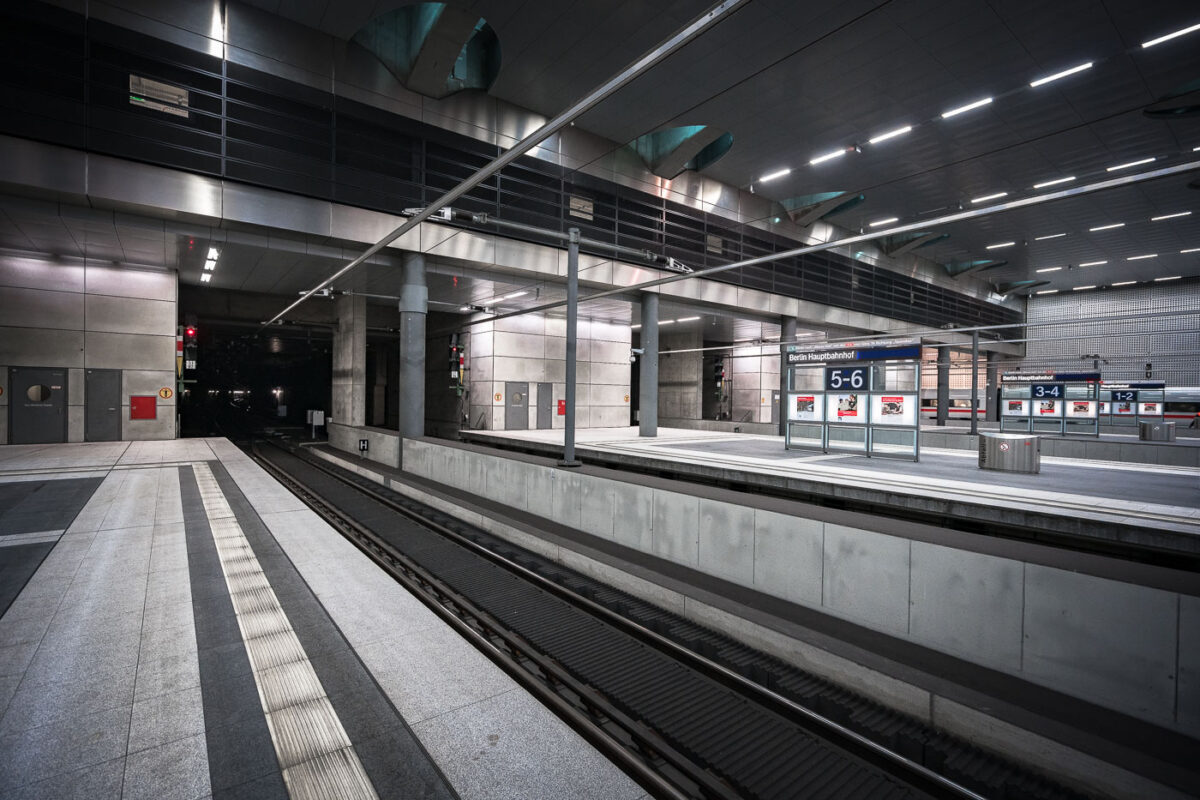
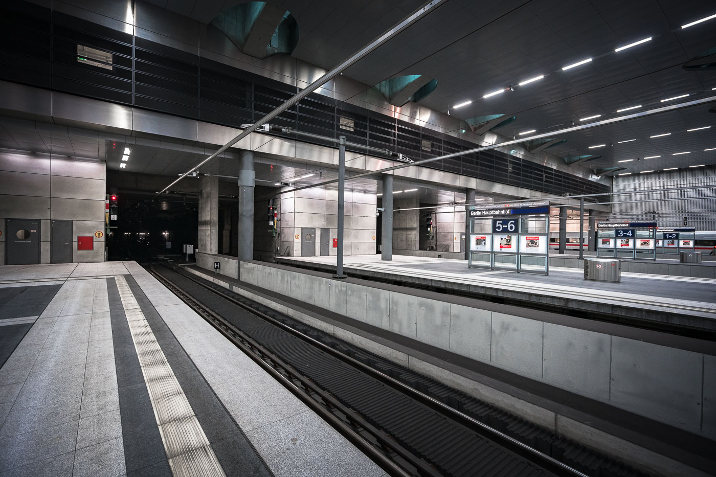
Empty platform 5-6 at Berlin Hauptbahnhof's underground level, with fluorescent lighting and modern architectural infrastructure.
Berlin Hauptbahnhof’s lower-level platforms in Berlin form the station’s underground north-south rail corridor. The platforms opened with the station complex in 2006 and handle long-distance and regional trains beneath the main hall.

Empty Platforms in Berlin Hauptbahnhof’s Underground Rail Corridor
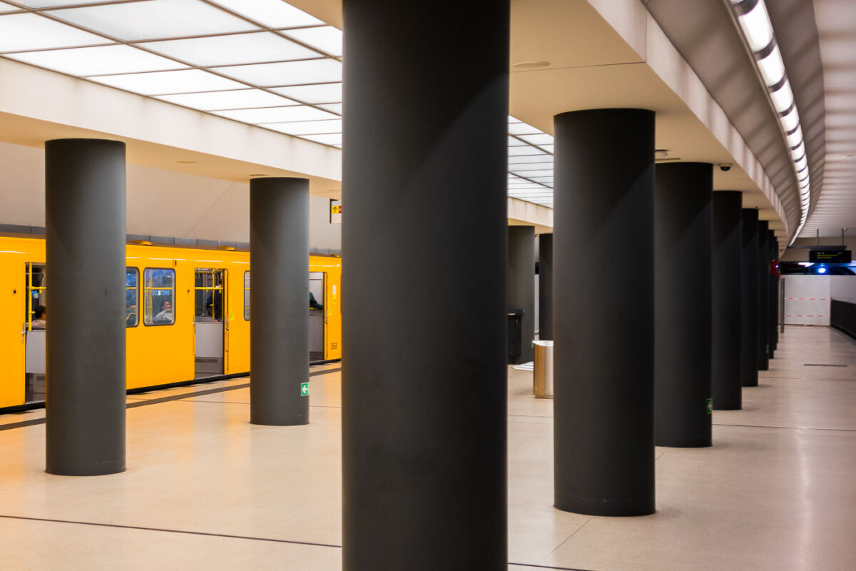
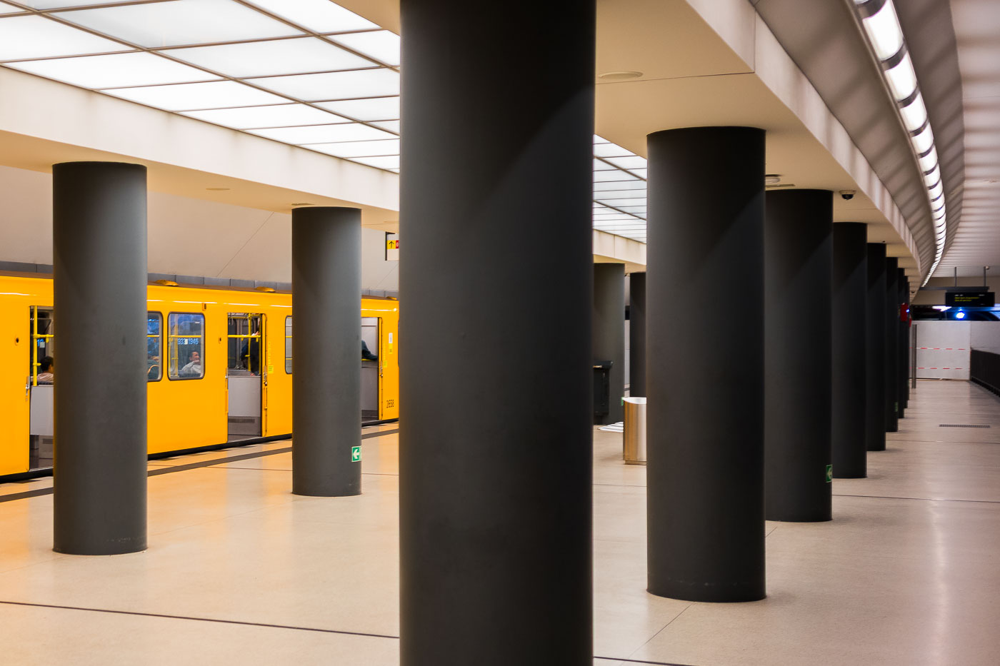
Yellow U-Bahn train at platform inside Brandenburger Tor station on the U55 line in Berlin, Germany.
Brandenburger Tor station in Berlin, Germany, with a yellow U-Bahn train at the platform. The station lies on the U55 branch, which was later incorporated into the U5 line.

Columns Lining the Platform at Brandenburger Tor Station
Brandenburger Tor U-Bahn station platform in Berlin displays illuminated historical photo panels on dark walls beneath the U55 line.
Brandenburger Tor U-Bahn station is beneath Pariser Platz in central Berlin. Opened in 2009 on the U55 line, it became part of the U5 in 2020. The station walls feature illuminated panels with historical images and dates related to Berlin and the Brandenburg Gate.

Historical Photo Panels Along the Brandenburger Tor Platform
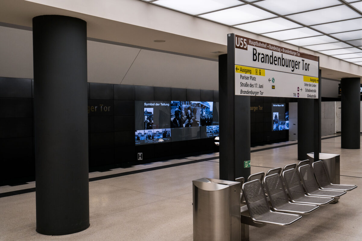
Brandenburger Tor U-Bahn station platform displays a digital exhibit titled "Symbol der Teilung" beneath Berlin's U55 line.
Brandenburger Tor station on Berlin’s U5 line features a digital exhibit titled “Symbol der Teilung.” The display appears on the platform beneath Pariser Platz, where the station connects to the Hauptbahnhof–Bundestag–Brandenburger Tor route.

“Symbol der Teilung” Display on the Brandenburger Tor U-Bahn Platform
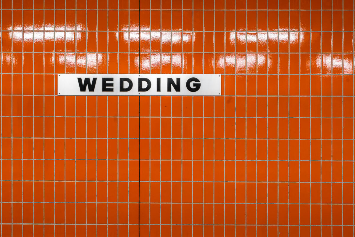
White sign reading "Wedding" mounted on orange tiled wall at Berlin U-Bahn station.
Wedding Station in Berlin, Germany, is identified by a white sign on an orange tiled wall. The station is served by the Berlin U-Bahn and connects with the adjacent S-Bahn station.

Orange Tile Wall at Wedding Station in Berlin
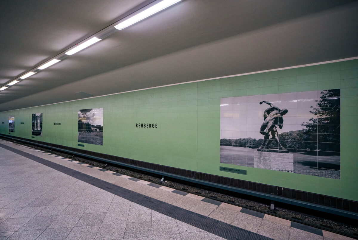
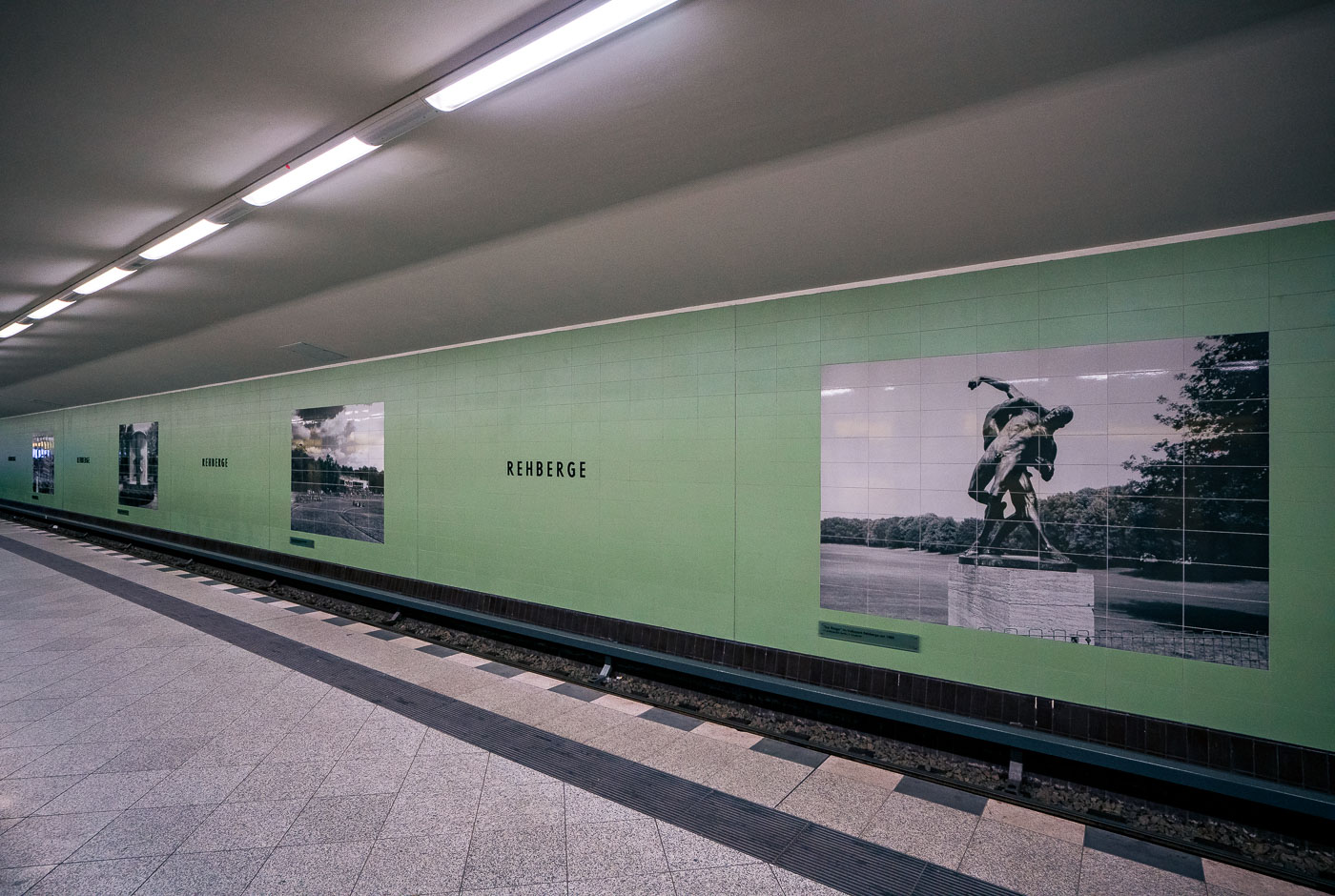
Rehberge U-Bahn station platform in Berlin's Wedding district displays mint-green tiled walls with photographic murals of park landscapes and sculptures.
Rehberge U-Bahn Station, located in Berlin's Wedding district, opened in 1956 as part of the postwar expansion of the U6 line. The station's platform features mint-green tiled walls adorned with large photographic murals depicting local park landscapes and public sculptures, including a piece titled "Der Ringer" in Volkspark Rehberge. These visual elements connect the transit space to its surrounding urban environment and history. Serving as a vital link for commuters, the station continues to function as a key component of Berlin's public transportation network operated by BVG.

Park Murals Along the Platform at Rehberge Station
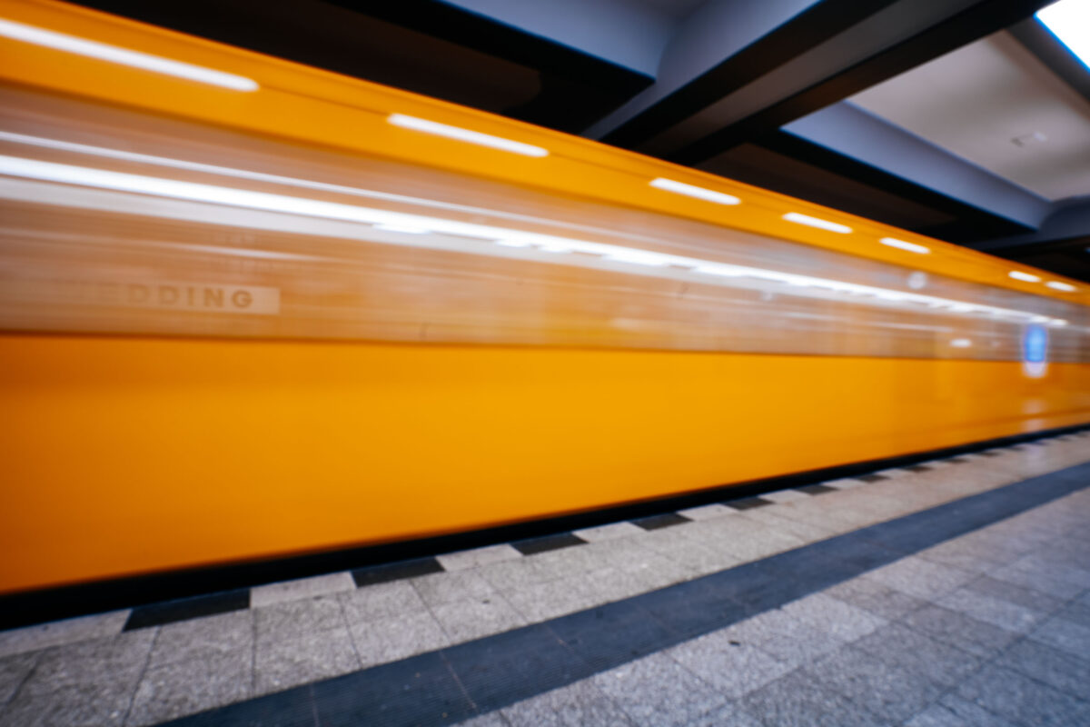
Yellow U6 train passes through Wedding station on Berlin's U-Bahn subway network.
A Berlin U6 train passes through Wedding station on the city’s U-Bahn network. Wedding opened in 1923 and remains a stop on the U6 line in northern Berlin.

Motion Blur of a U6 Train Arriving at Wedding Station
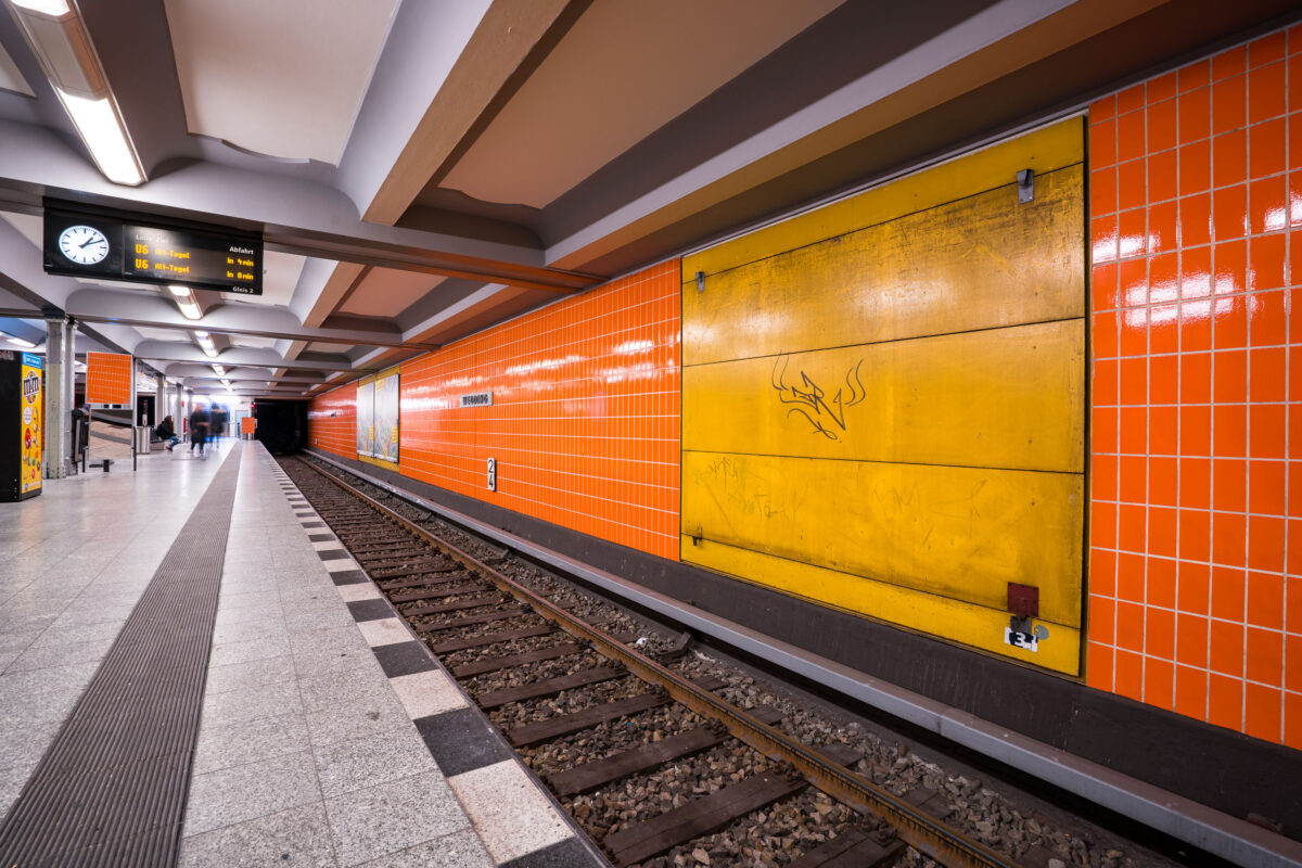
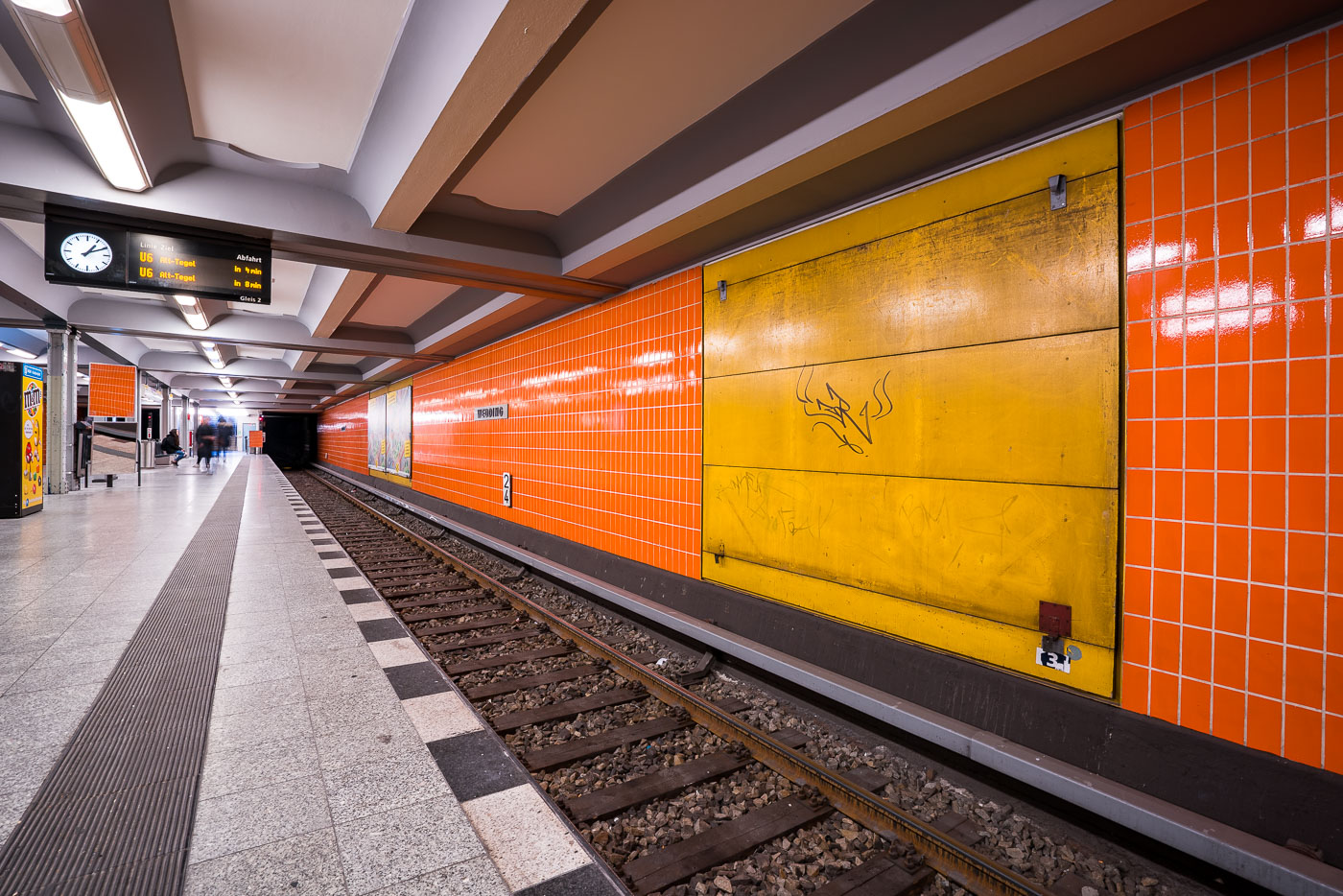
Wedding U-Bahn platform in Berlin features orange tiled walls and yellow service panels along the U6 line underground station.
Wedding U-Bahn station in Berlin has an underground platform lined with orange tiles and yellow service panels. The station is served by the U6 line, which runs through central Berlin to Alt-Tegel.

Graffiti-Marked Service Panel at Wedding Station
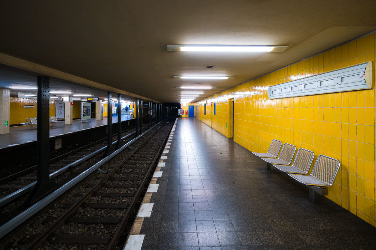
Seestraße U-Bahn station platform in Berlin's Wedding district features bright yellow tiled walls and metal bench seating.
Seestraße U-Bahn station in Berlin’s Wedding district has twin side platforms with bright yellow tile walls and metal benches. The station opened in 1923 and is served by the U6 line.

Yellow-Tiled Platform Benches at Seestraße Station
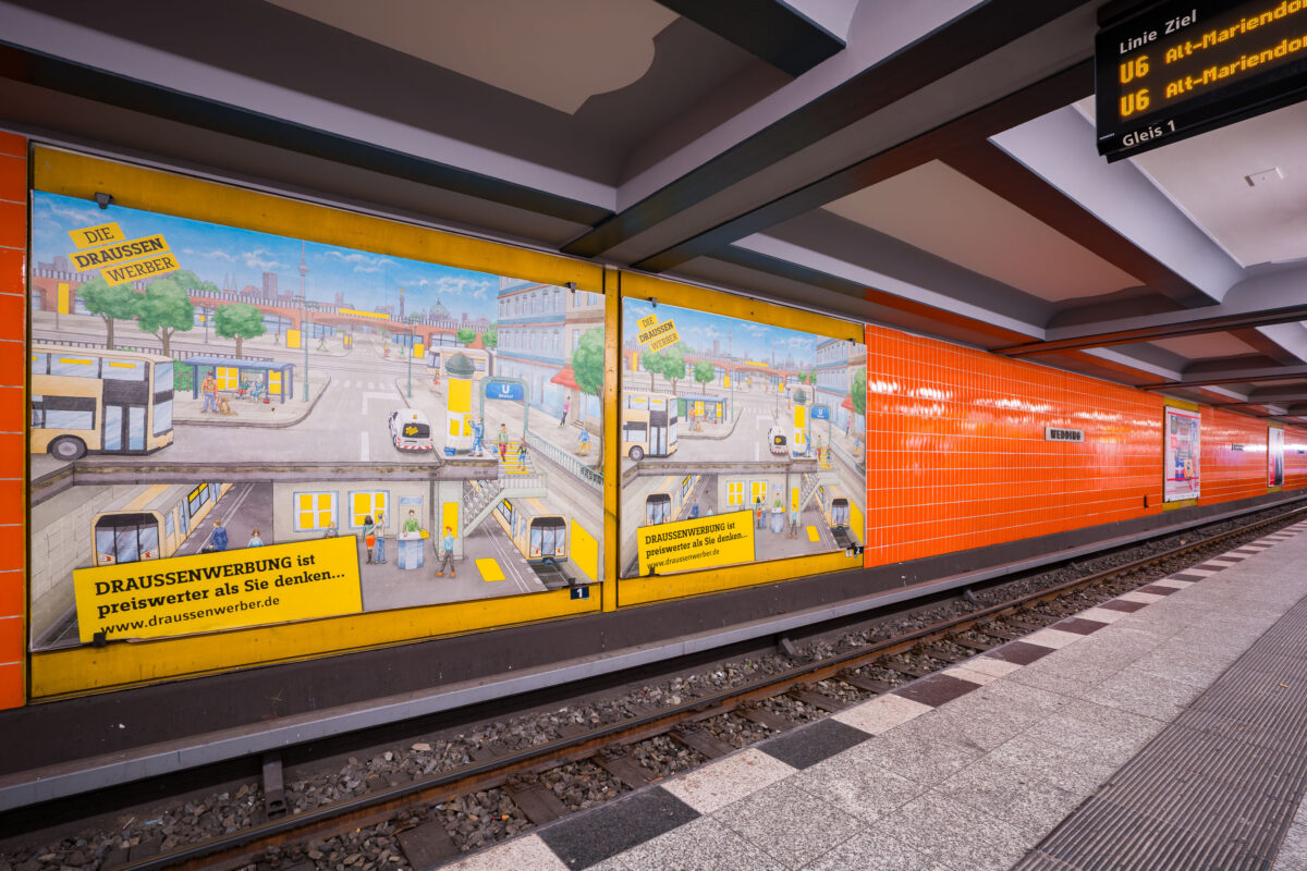
Wedding U-Bahn platform in Berlin displays yellow advertising panels and orange tiled walls along the U6 underground train line.
Berlin Wedding U-Bahn station in Berlin features an orange-tiled platform wall and large advertising murals along track 1. An electronic sign above the platform shows U6 trains toward Alt-Mariendorf.

“Draussenwerber” Ad Murals at Wedding Station
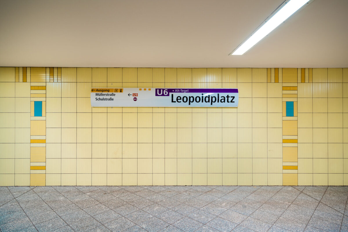
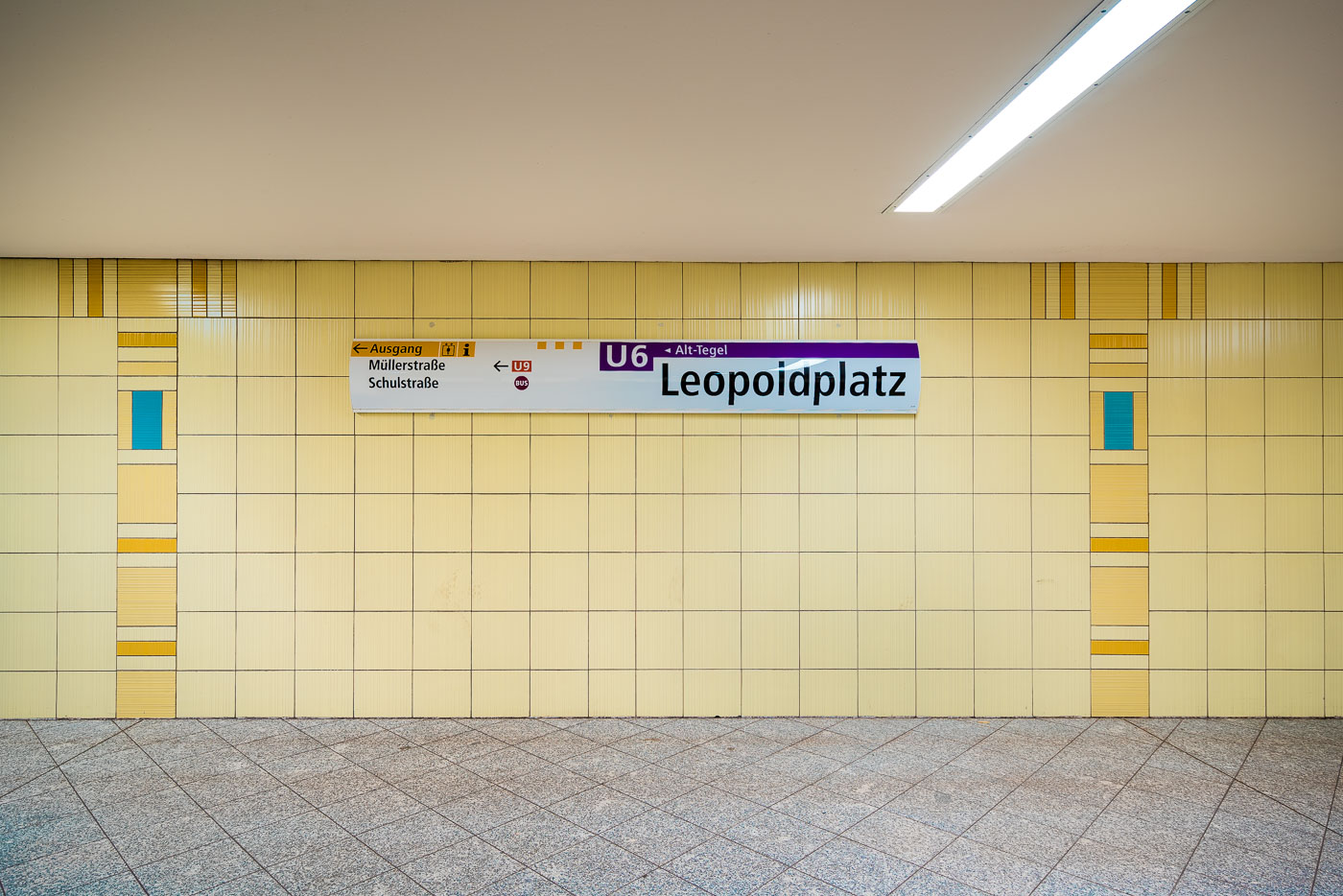
Leopoldplatz U-Bahn station platform in Berlin displays pale yellow ceramic wall tiles with blue and ochre accent bands.
Leopoldplatz U-Bahn Station in Berlin has pale yellow ceramic wall tiles with blue and ochre accents. The station is served by the U6 and U9 lines and sits beneath Leopoldplatz in the Wedding district.

U6 Line Signage at Leopoldplatz Station
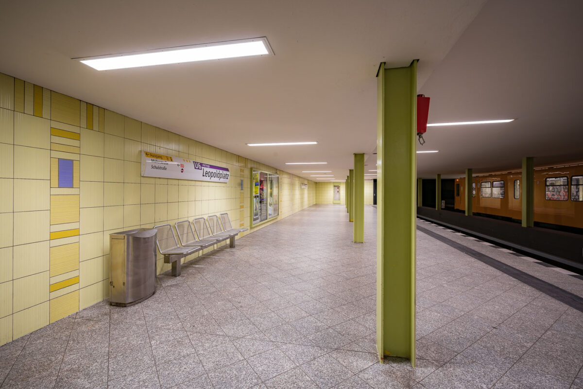
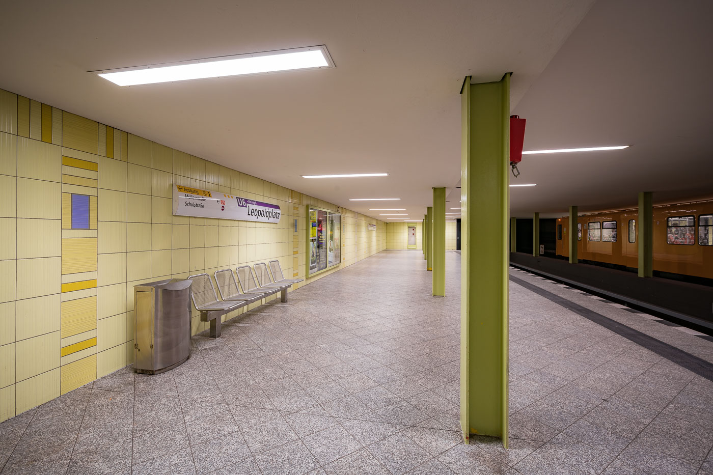
Leopoldplatz U-Bahn station platform on Berlin's U9 line features yellow tiled walls, green support columns, and metal bench seating.
Leopoldplatz U-Bahn station in Berlin includes a lower-level platform on the U9 line. The platform features pale yellow wall tiles, green-painted support columns, and bench seating along the wall.

Yellow-Tiled U9 Platform at Leopoldplatz Station
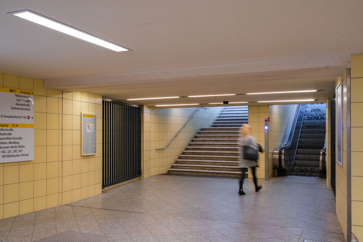
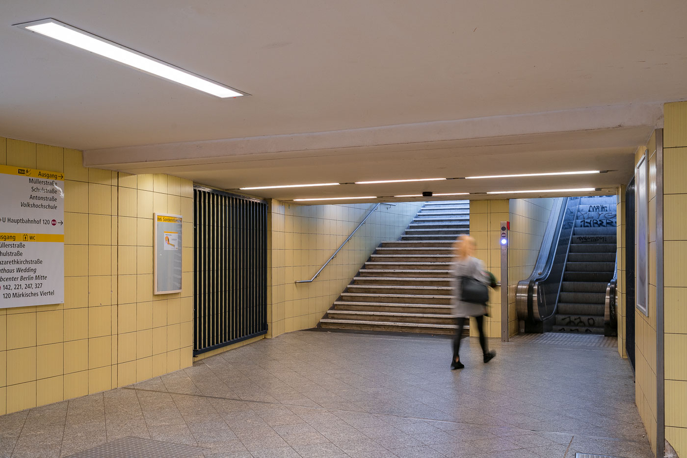
Commuter walking through a yellow-tiled underground passageway at Wedding U-Bahn station in Berlin connecting stairs and escalators.
Wedding U-Bahn station in Berlin has a tiled underground passageway connecting stairways and an escalator to street exits. A commuter passes through the corridor, which is signed for nearby streets and bus connections.

Yellow-Tiled Corridor at Wedding Station
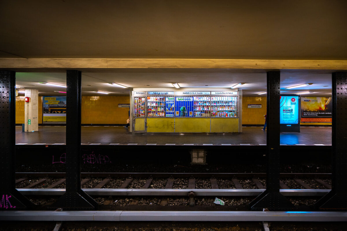
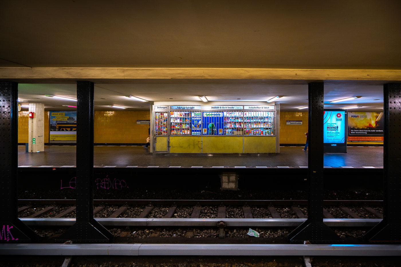
Seestraße U-Bahn station platform in Berlin features a central kiosk with yellow storefront beneath fluorescent lighting.
Seestraße U-Bahn station in Berlin’s Wedding district, with a central kiosk on the platform. The station opened in 1923 and served as the northern terminus of the U6 line until the late 1950s.

Kiosk on the Platform at Seestraße Station
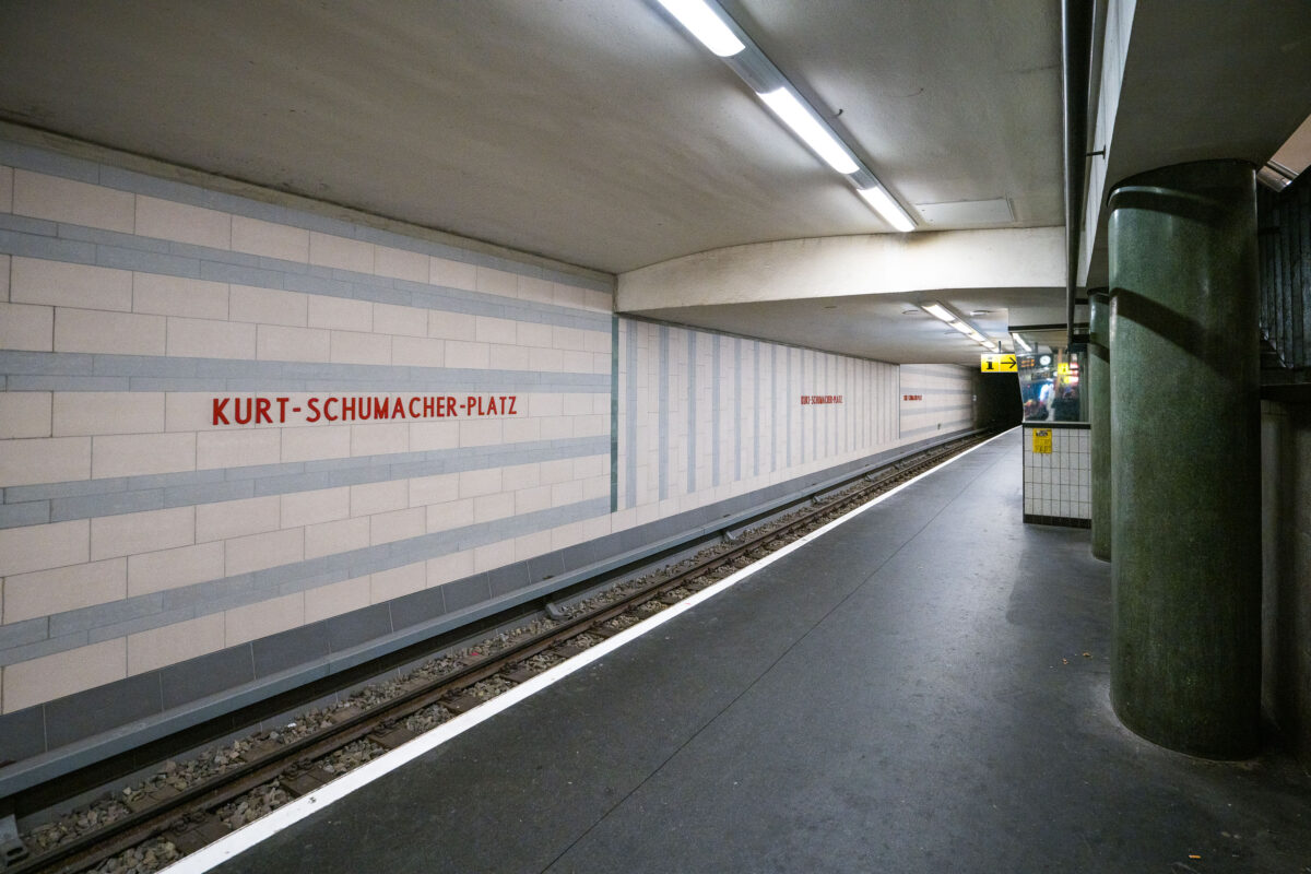
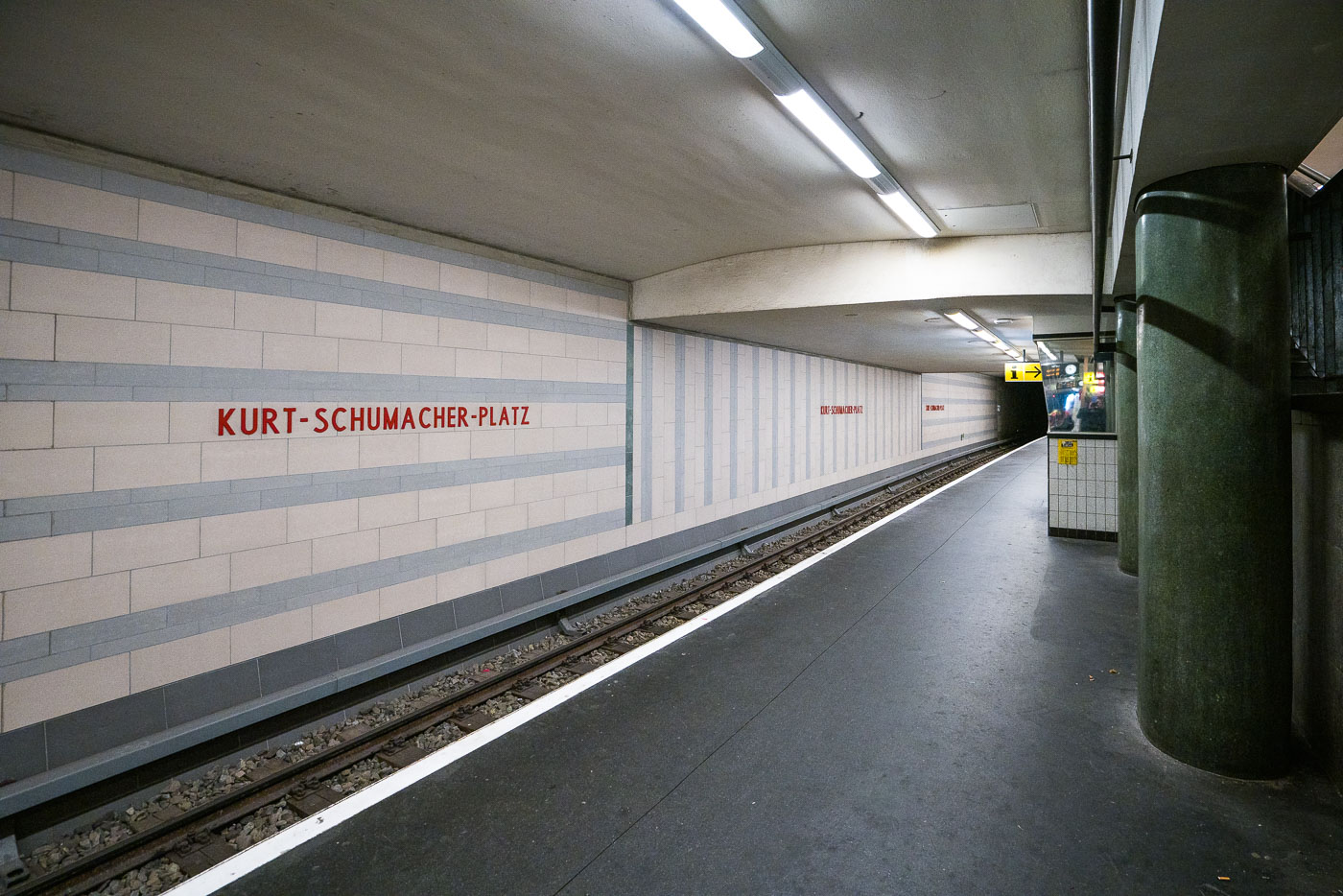
Kurt-Schumacher-Platz U-Bahn platform in Berlin displays light tile walls with gray bands and red station lettering typical of 1950s West Berlin transit design.
Kurt-Schumacher-Platz station in Berlin’s Reinickendorf district is a U6 U-Bahn stop. The platform has light tile walls with gray bands and red station lettering, a design typical of mid-1950s West Berlin transit architecture.

Tiled Platform at Kurt-Schumacher-Platz Station in Berlin
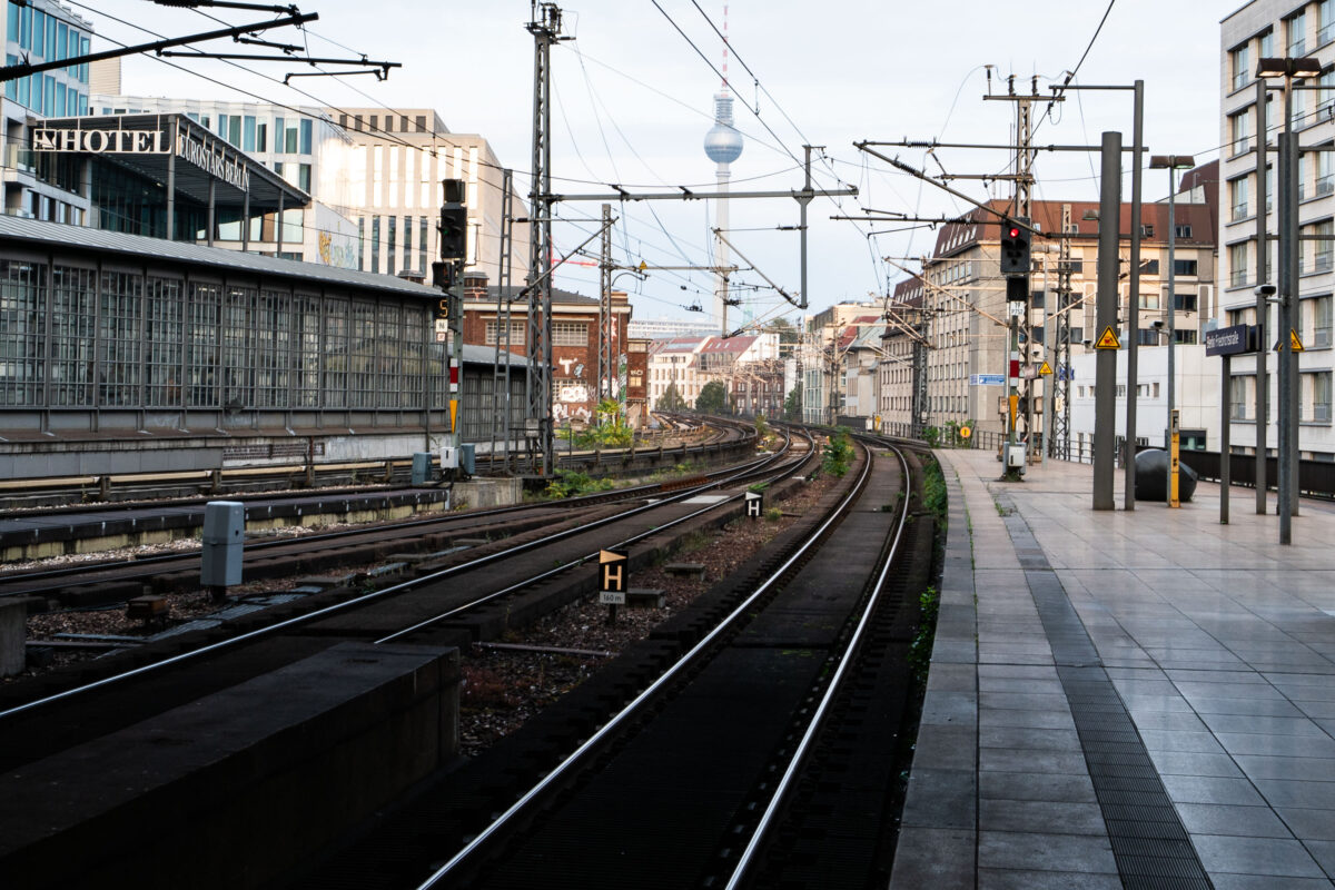
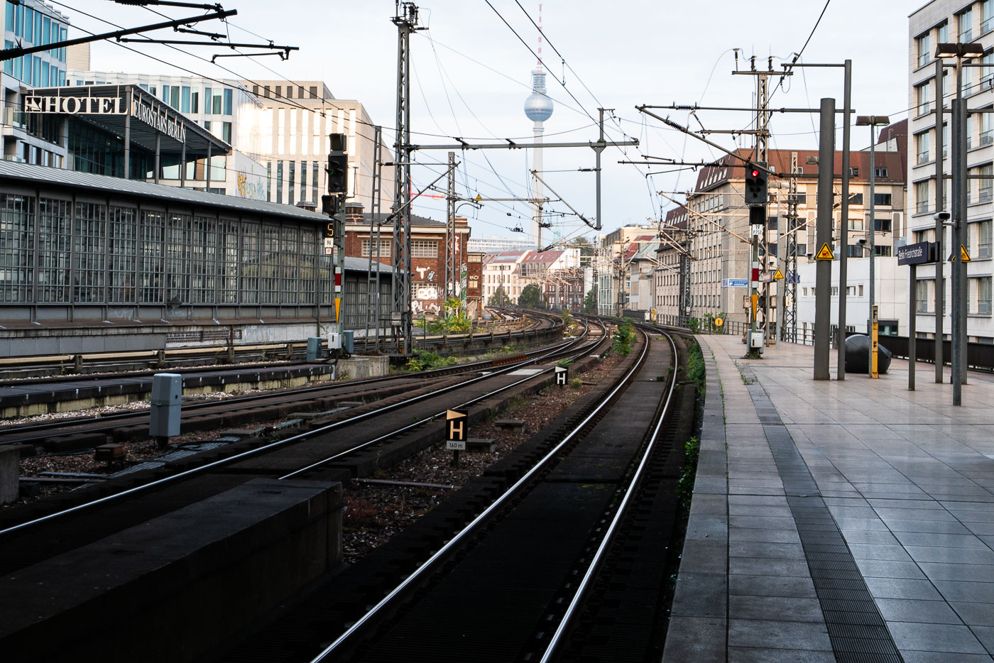
Berlin Friedrichstraße Station platform with curved S-Bahn and regional rail tracks, Fernsehturm visible in the distance, and surrounding urban architecture.
Berlin Friedrichstraße Station in Berlin shows S-Bahn and regional rail tracks curving eastward past the platforms. The Fernsehturm rises in the distance above the station approach, and the Eurostars Berlin hotel stands beside the tracks.

Rail Tracks Curving Toward the Fernsehturm Near Friedrichstraße
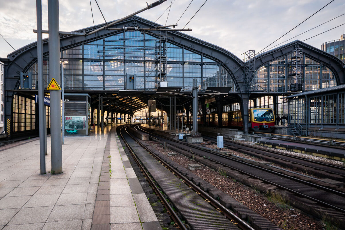
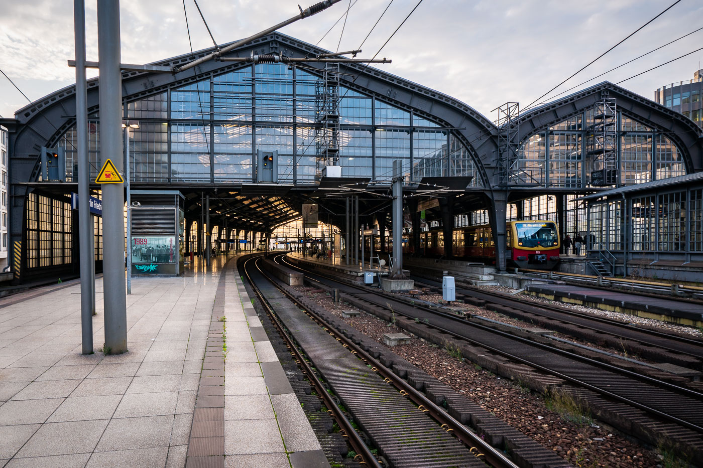
Elevated S-Bahn platforms at Berlin Friedrichstraße Station sit beneath a steel-and-glass canopy with multiple railway tracks visible below.
Berlin Friedrichstraße Station in Berlin, Germany, has elevated S-Bahn platforms under a large steel-and-glass canopy. The station opened in 1882 and serves as a major interchange for S-Bahn, regional, and long-distance rail services.

Glass Canopy Over Friedrichstraße Station’s Platforms
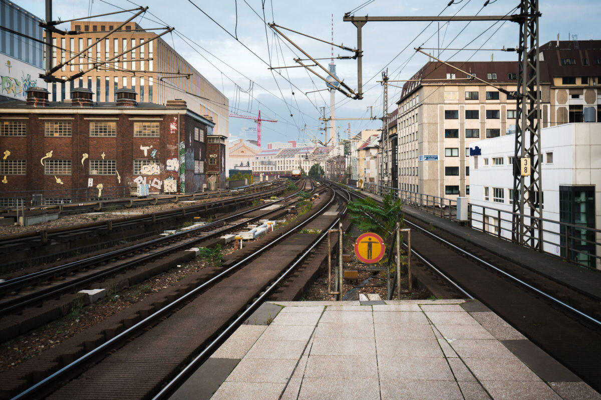
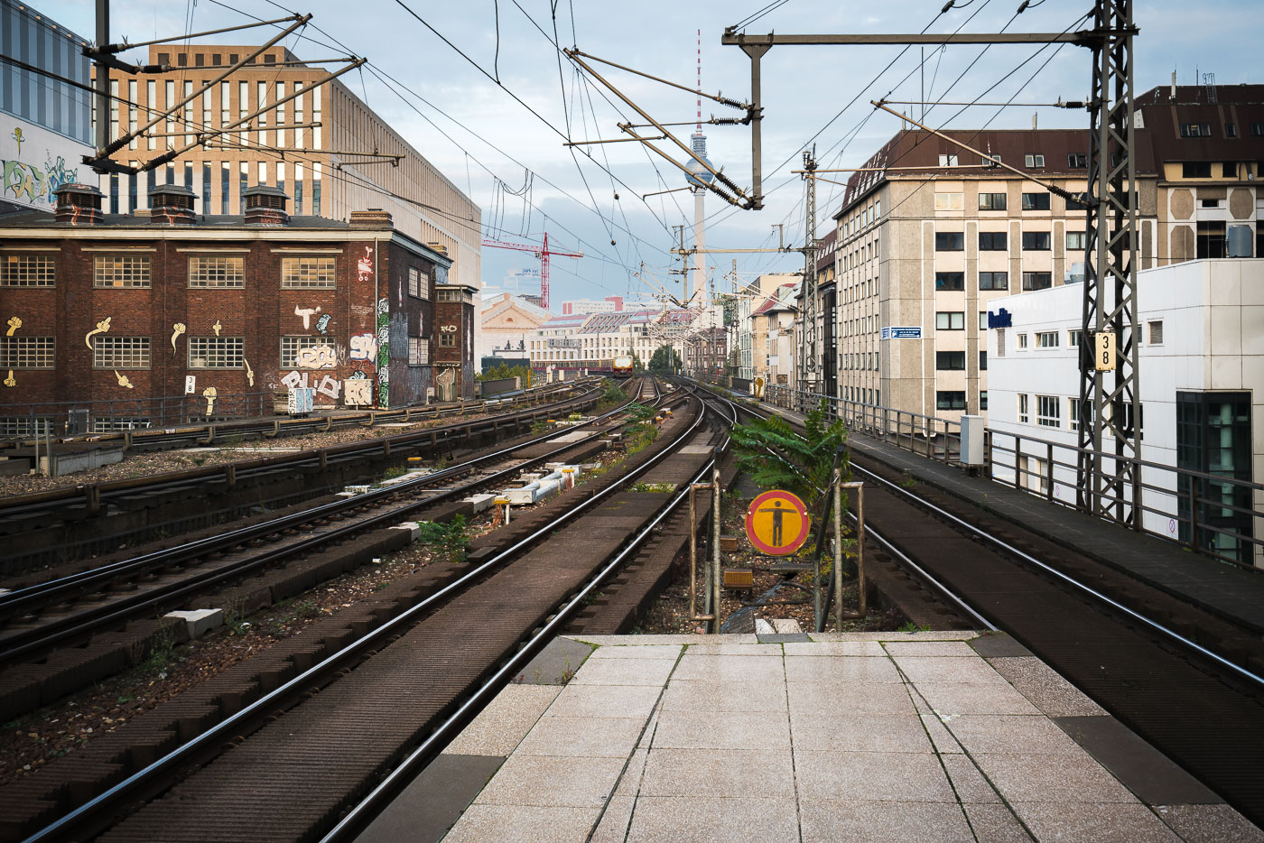
Elevated S-Bahn tracks at Berlin Friedrichstraße station extend eastward between brick and modern office buildings with the Fernsehturm visible in the distance.
Berlin Friedrichstraße station in Berlin looks east along the elevated S-Bahn tracks. The Fernsehturm rises in the distance beyond the rail corridor, which runs through a dense mix of office and older industrial buildings.

Elevated S-Bahn Tracks Toward the Fernsehturm in Berlin
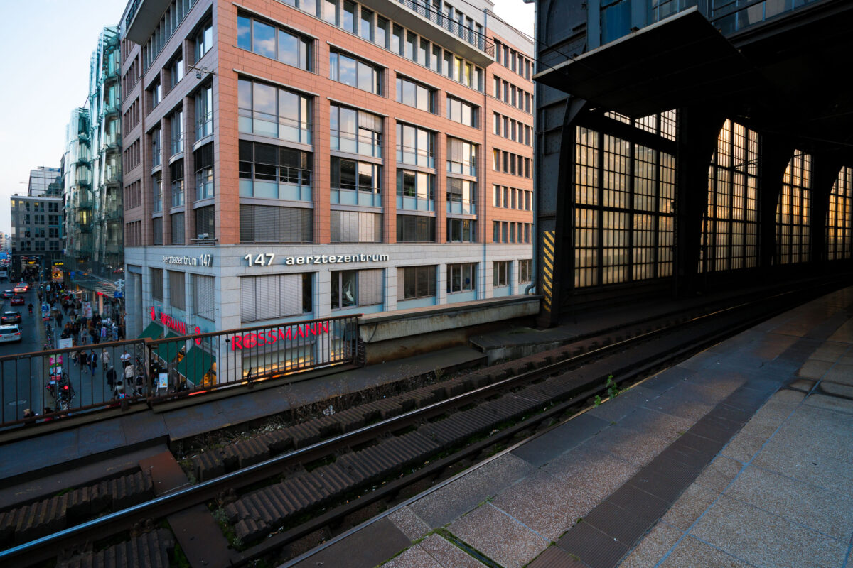
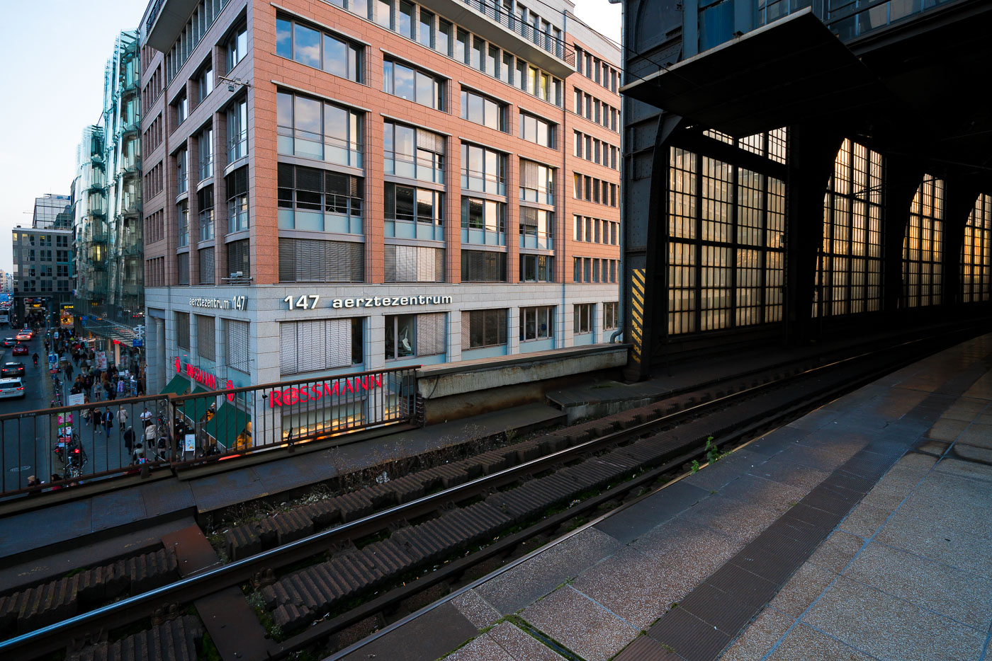
Elevated railway tracks at Berlin Friedrichstraße Station run beside the Aerztezentrum building and surrounding office architecture along Georgenstraße.
Berlin Friedrichstraße Station in Berlin has elevated tracks running beside Georgenstraße. The view looks past the station structure toward the Aerztezentrum at No. 147 and nearby office buildings along the street.

Friedrichstraße Station Platform Overlooking Georgenstraße
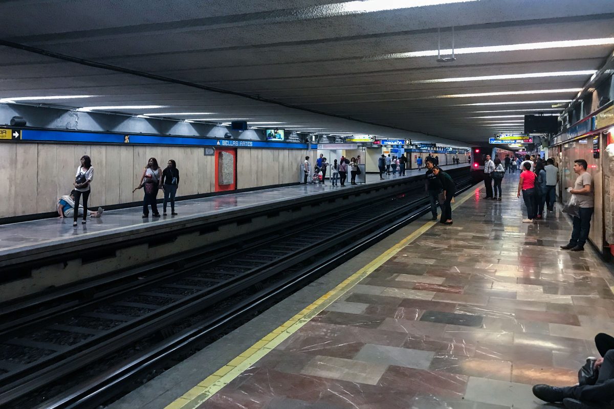
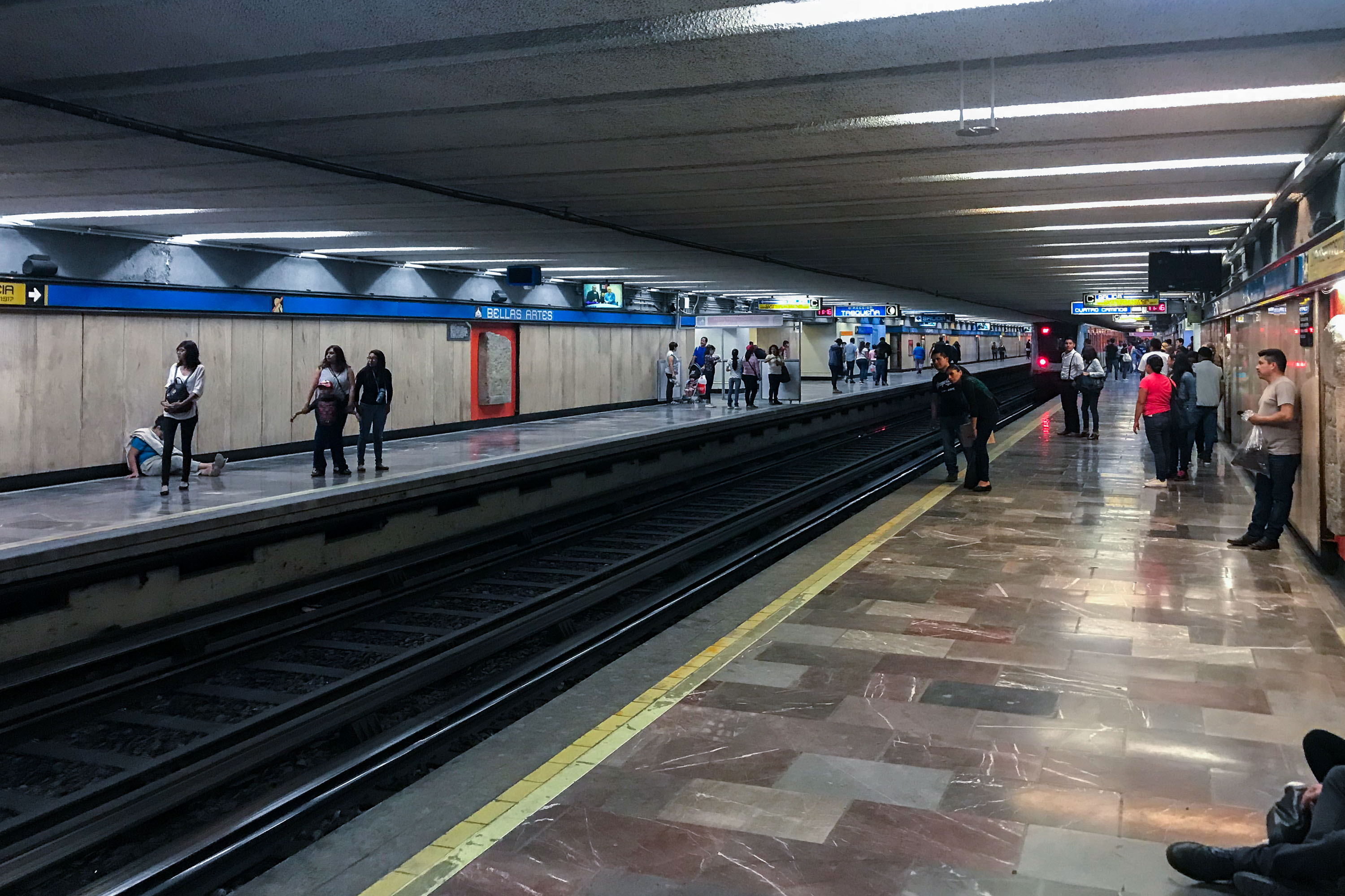
Passengers wait on the platform at Bellas Artes subway station in Mexico City.
Bellas Artes station serves Lines 2 and 8 of the Sistema de Transporte Colectivo, the metro system that has moved passengers across Mexico City since 1969. The station takes its name from the nearby Palacio de Bellas Artes and sits beneath the historic center, one of the busiest districts the system serves. Line 2 runs north-south between Cuatro Caminos and Tasqueña, while Line 8 connects Garibaldi to Constitución de 1917. The system carries well over a billion rides a year, among the highest ridership of any metro network in the Americas.

Bellas Artes Metro Station, Mexico City
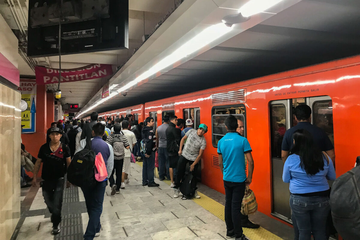
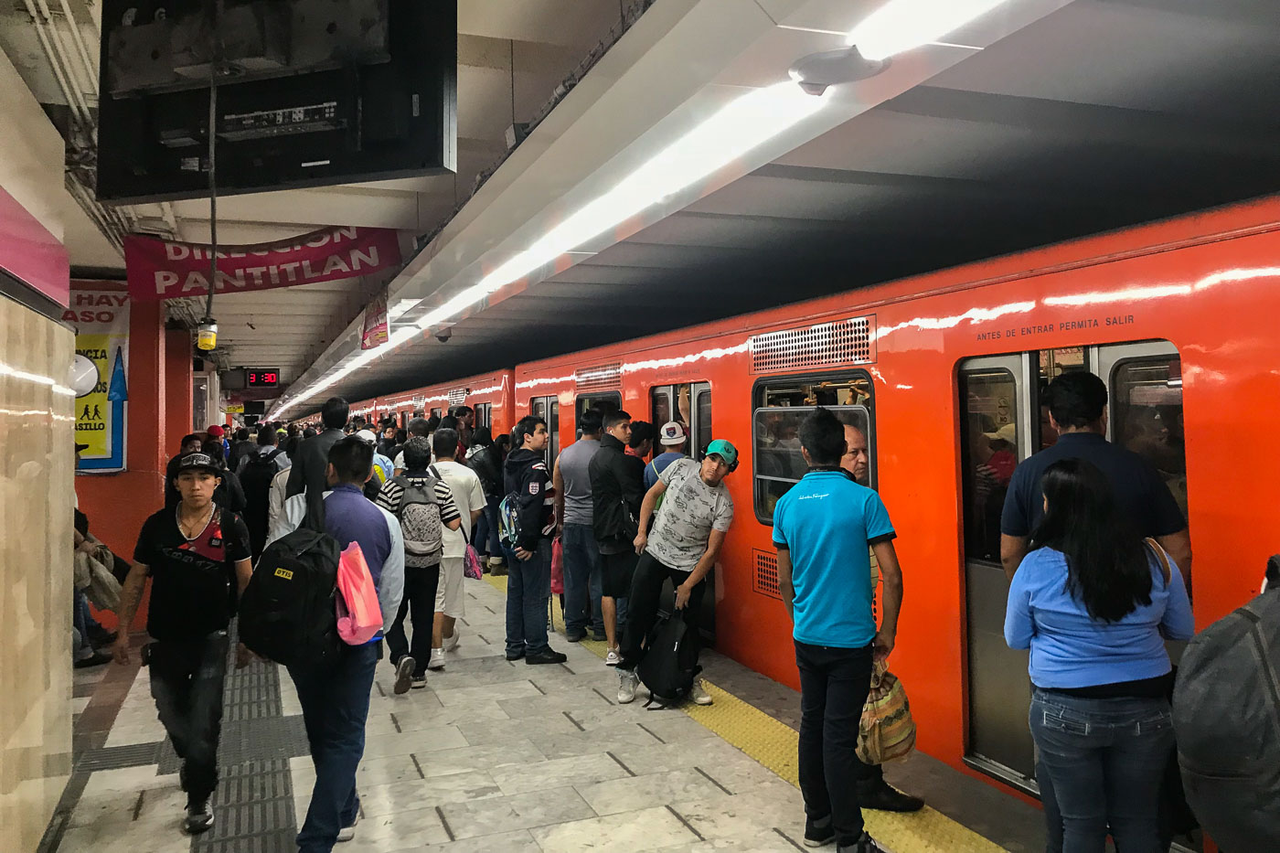
Passengers wait on the platform at Pantitlan Station, a major transfer point for Mexico City Metro Lines 1, 5, 9, and A. An orange train is stopped at the platform.
Passengers wait on the platform at Pantitlan Station, a major transfer point for Mexico City Metro Lines 1, 5, 9, and A. An orange train is stopped at the platform, with signage indicating "DIRECCION PANTITLAN" and "ANTES DE ENTRAR PERMITA SALIR." Pantitlan Station serves as a critical hub for commuters in the eastern part of Mexico City, connecting multiple lines and facilitating travel across the vast metropolitan area. Its design and function are central to the daily transit of millions of residents, reflecting the city's extensive public transportation network.

Mexico City Metro: Pantitlan Station Platform
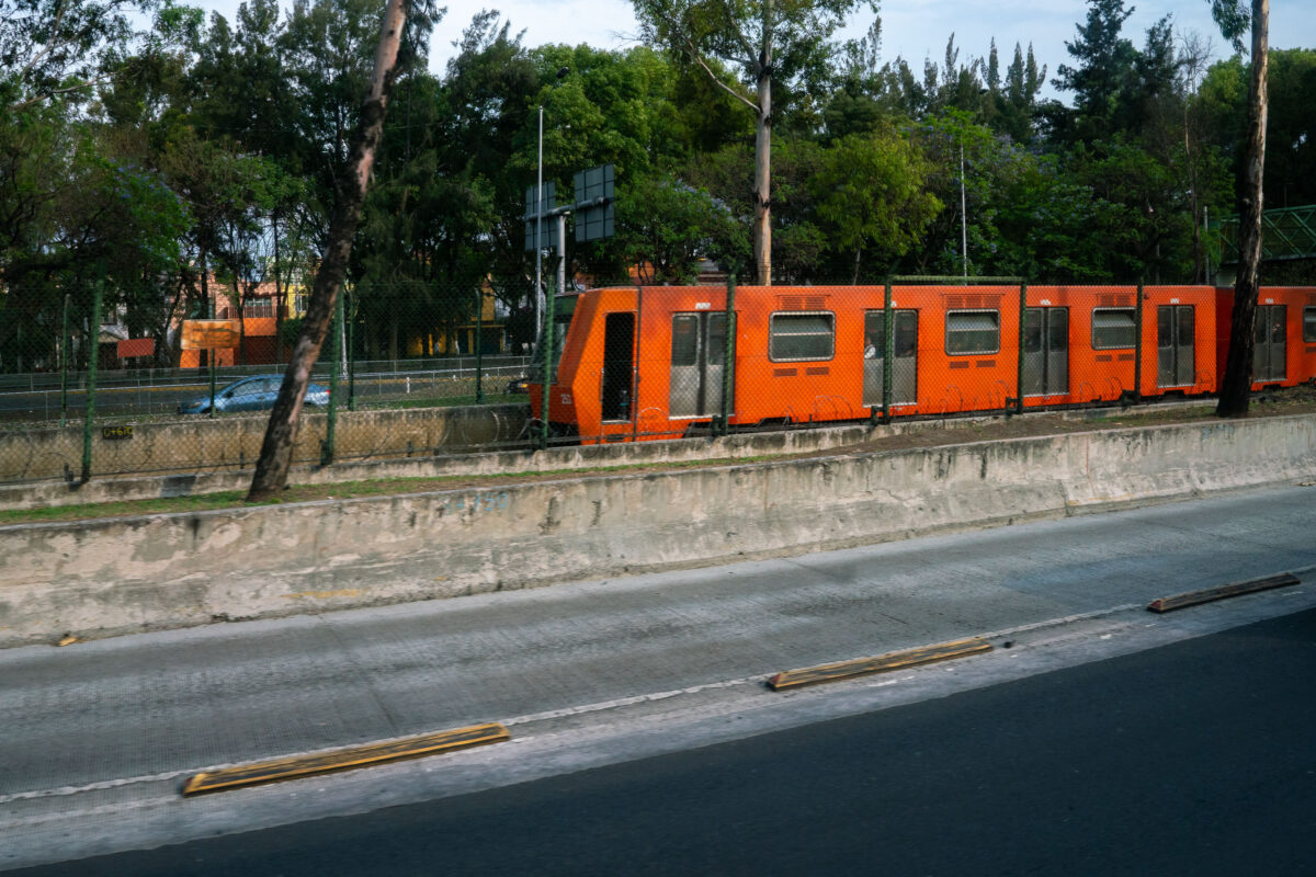
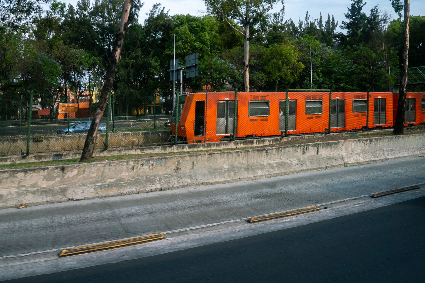
Orange Mexico City Metro Line 1 train running beside the Viaducto elevated roadway.
Mexico City Metro Line 1 runs beside Viaducto, a major elevated roadway in the city’s south-central area. Opened in 1969, the metro is one of the largest subway systems in the world and uses rubber-tired trains on several lines. Line 1 is the system’s original east-west corridor.

Mexico City Metro Line 1 Train Along Viaducto Road
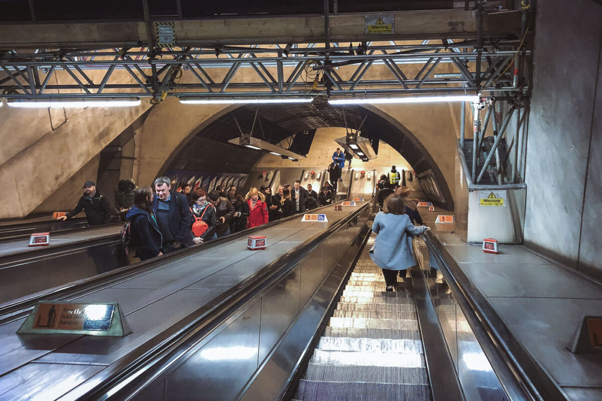
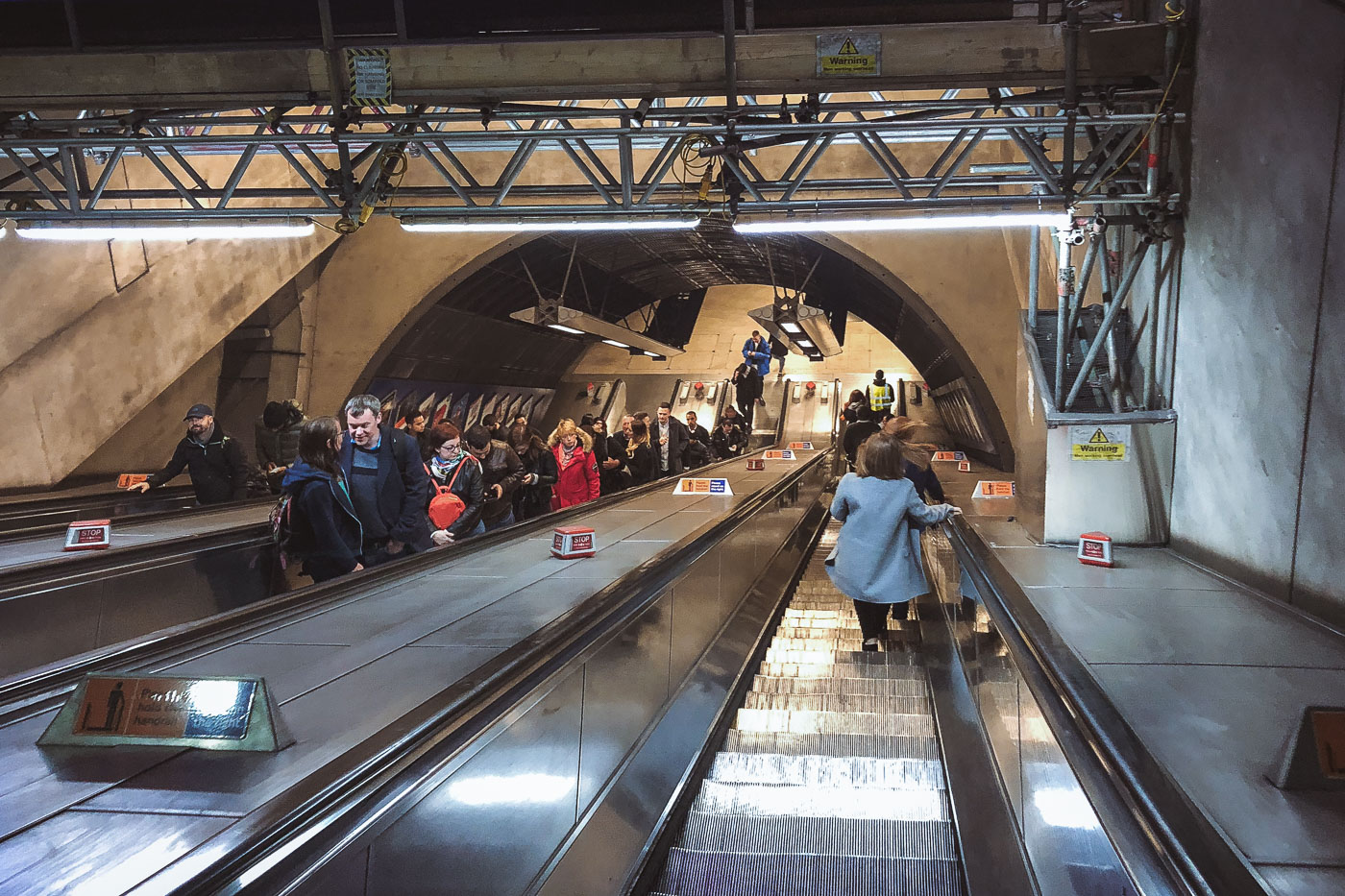
Passengers ride escalators in London Bridge Station's underground concourse, part of the Jubilee Line Extension infrastructure.
London Bridge Station in London has a deep escalator bank connecting the station concourse to the Underground platforms. The escalators form part of the station’s reconstruction and capacity upgrades associated with the 1990s Jubilee Line Extension project.

Deep Escalators at London Bridge Underground Station
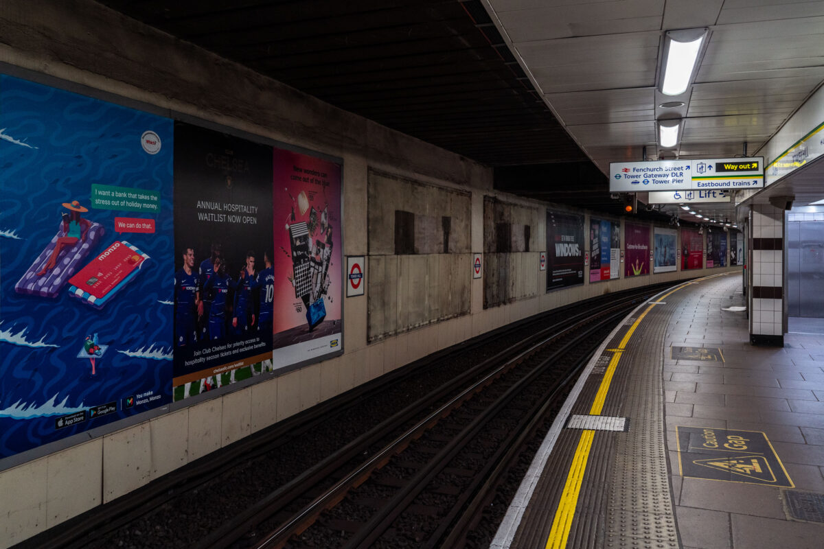
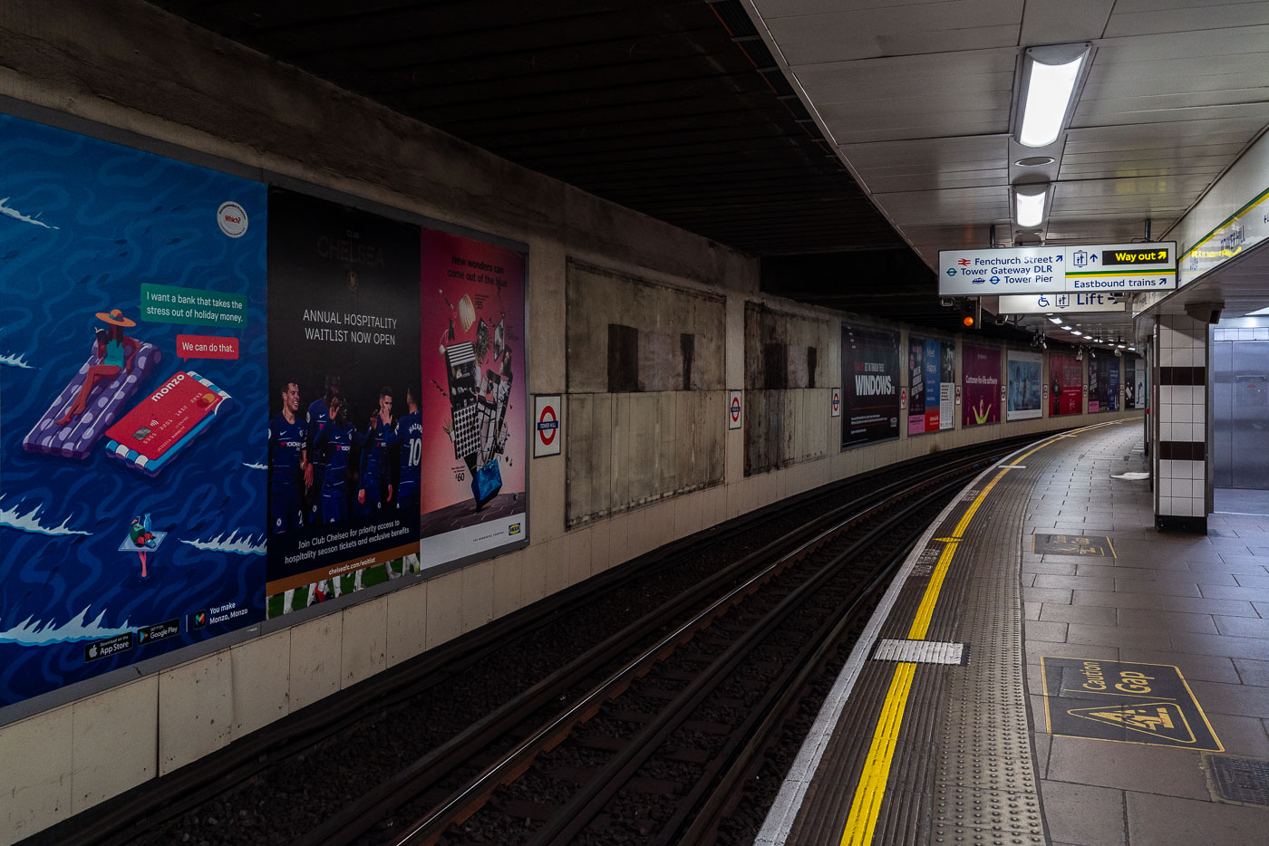
Tower Hill Underground Station's eastbound platform curves into darkness with advertising displays and yellow safety lines along the track.
Tower Hill Underground Station in London’s City of London is shown looking along the eastbound platform curve. The station serves the District and Circle lines, with signs for Tower Gateway DLR and Tower Pier visible near the platform exit.

Platform Curve at Tower Hill Station, London
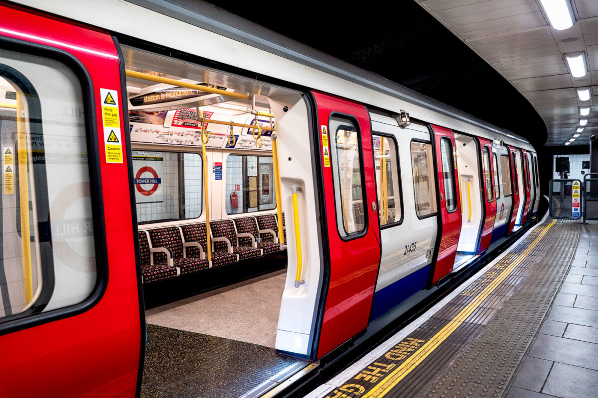
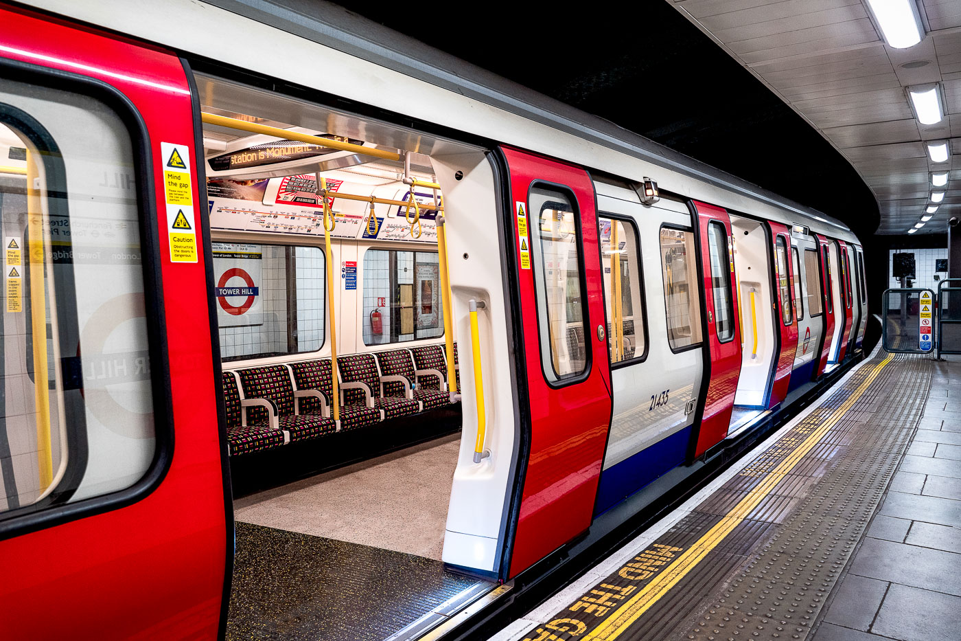
An S7 Stock train with red, white, and blue livery stops at a platform in Tower Hill Station on the London Underground District Line.
A London Underground S7 Stock train stands at Tower Hill Station on the District line in central London. The Bombardier-built fleet entered service between 2010 and 2017 as part of the Sub-Surface Railway modernisation. Tower Hill serves the District and Circle lines near the Tower of London and the Thames.

Open Doors on an S7 Train at Tower Hill Station
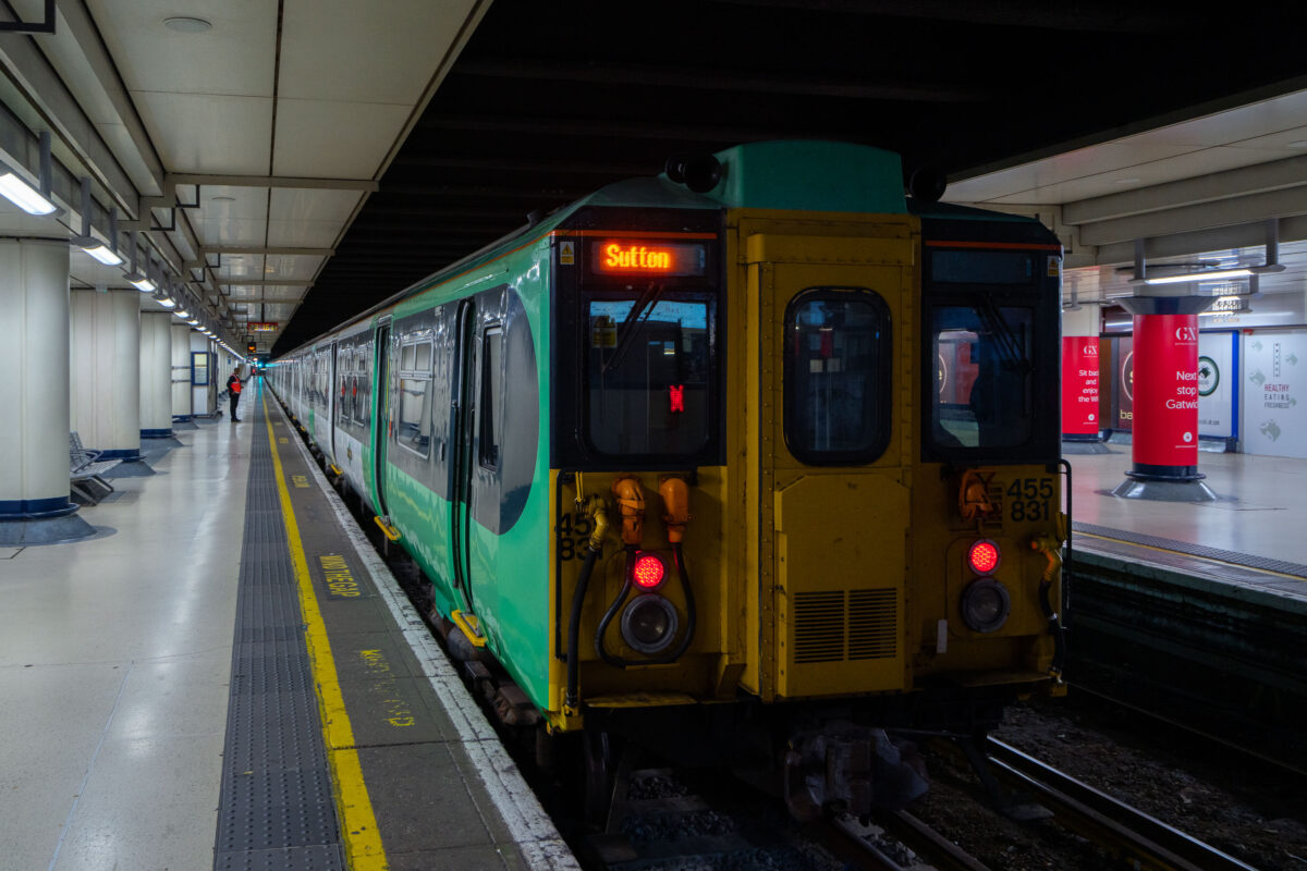
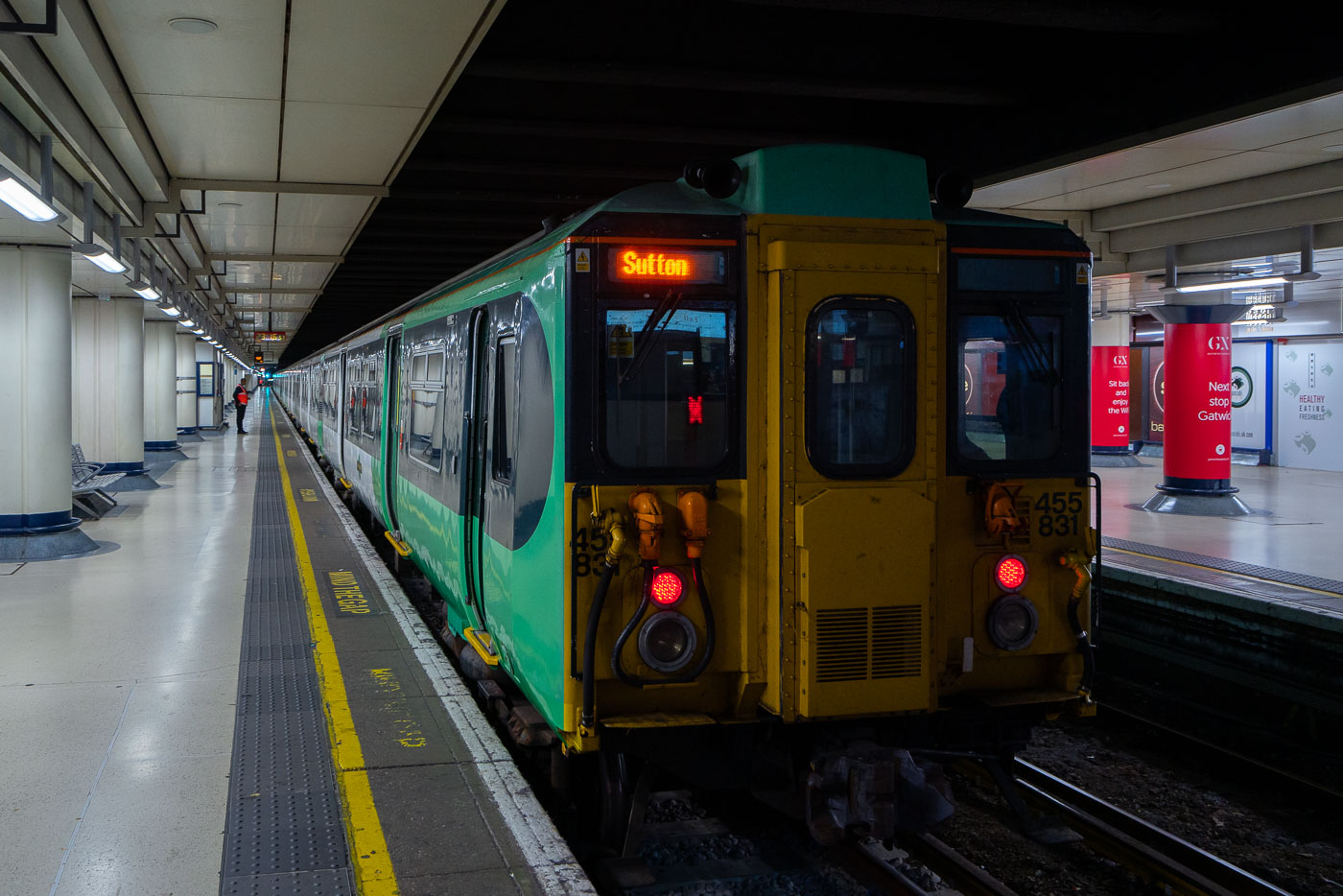
Southern Railway Class 455 train stopped at platform in London Victoria Station with Sutton destination display illuminated.
A Southern Railway Class 455 electric multiple unit train stands at London Victoria Station in central London. The commuter train is on a platform beneath the station concourse, with its destination display showing Sutton.

Southern Class 455 Train Bound for Sutton at Victoria Station
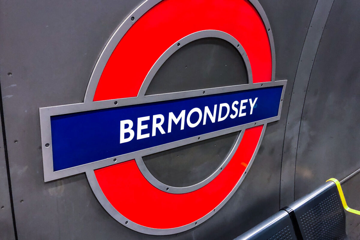
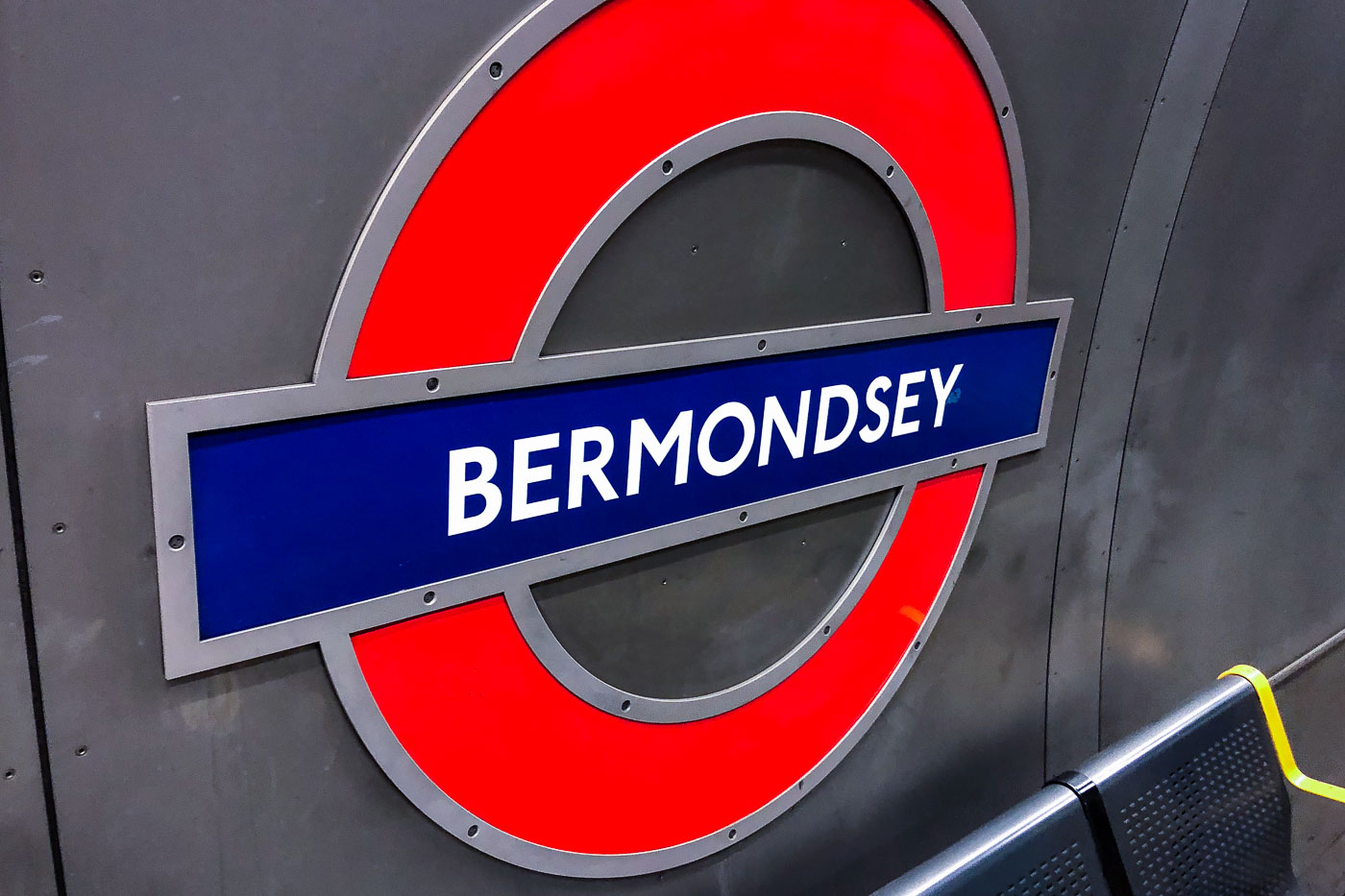
Bermondsey Station roundel sign on the London Underground Jubilee line in southeast London.
Bermondsey Station, London Underground, is on the Jubilee line in southeast London. The station opened in 1999 as part of the Jubilee Line Extension. The roundel is the station’s standard London Underground sign.

Underground Roundel at Bermondsey Station
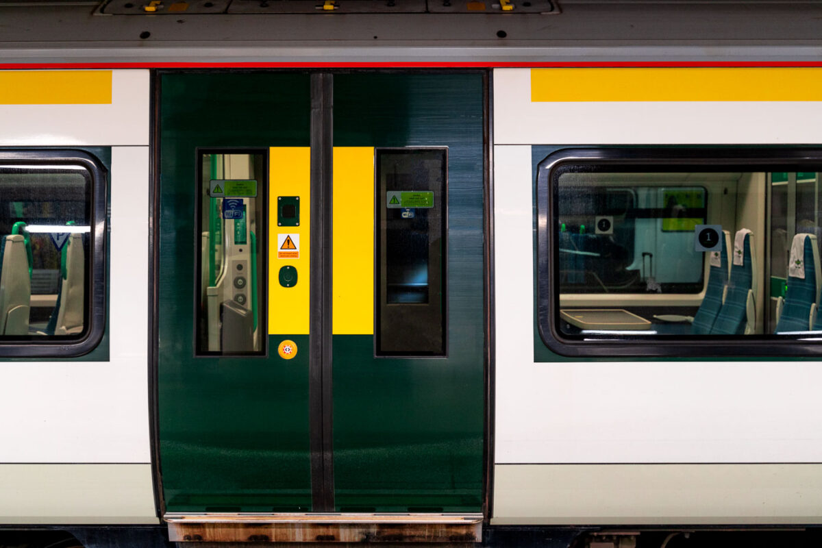
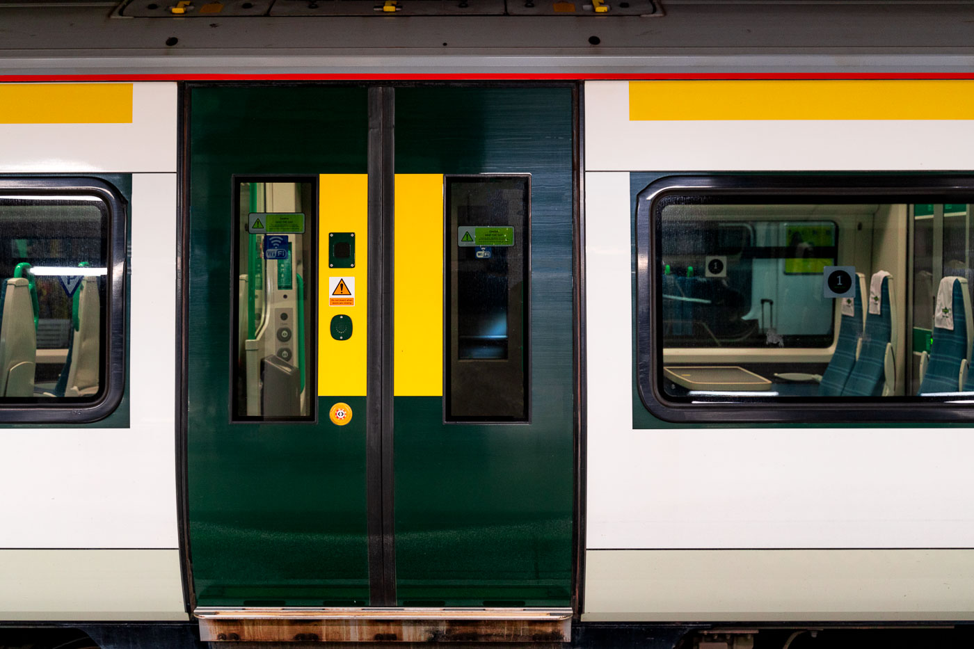
Southern Railway Class 377 Electrostar train doors with green and yellow safety panels at a London station.
A Southern Railway Class 377 Electrostar stands in London with its green and yellow passenger doors and side windows visible. The electric multiple unit is part of Southern’s commuter fleet used on services across South London and the wider Southern network.

Doors of a Southern Class 377 Electrostar
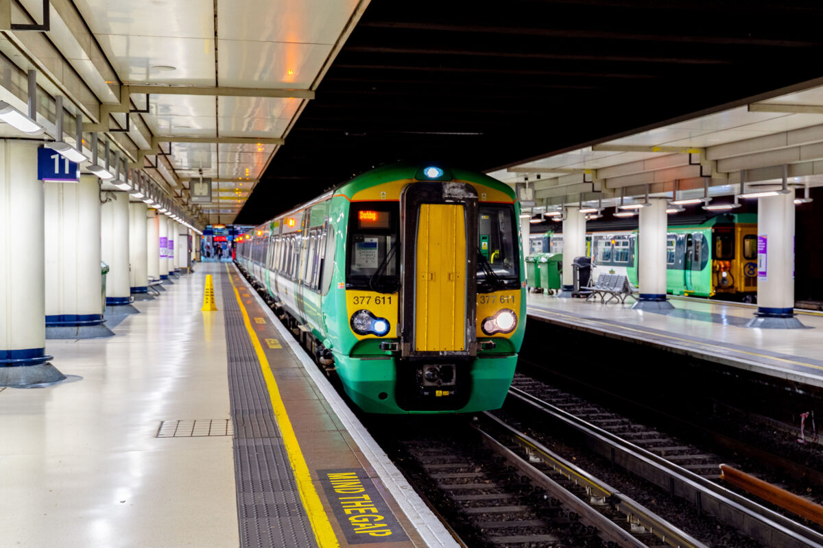
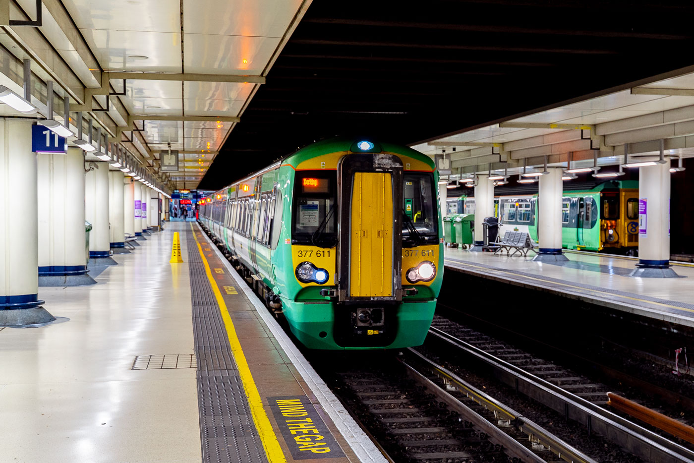
A Southern Railway Class 377 train in green and yellow livery stops at London Victoria Station platform.
A Southern Railway Class 377 electric multiple unit stands at an underground platform at London Victoria station, London. The train is operated by Southern and used on commuter and regional services across the south of England.

Southern Class 377 at Platform 11, London Victoria Station
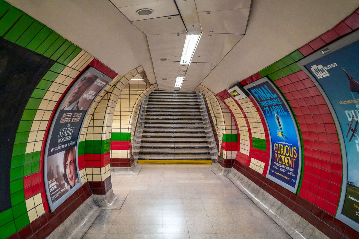
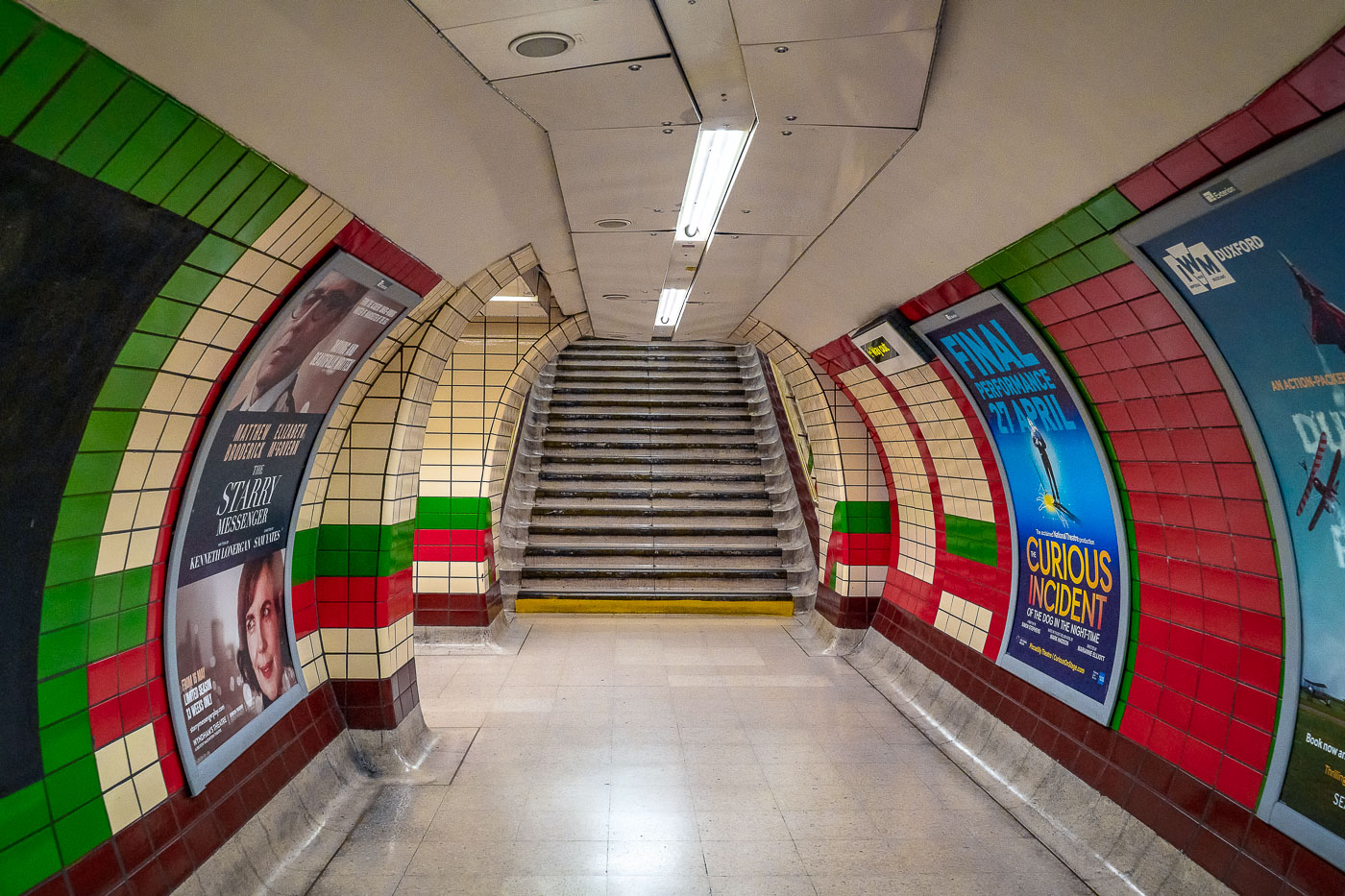
Piccadilly Circus underground station passageway in London with colored tilework and theater posters flanking stairs between platforms.
Piccadilly Circus Station in London has a tiled underground passageway leading to a stairway between platforms and ticket areas. The corridor is lined with framed theater posters and the station’s characteristic red, green, cream, and maroon tilework.

Theatre Posters Line a Staircase at Piccadilly Circus Station
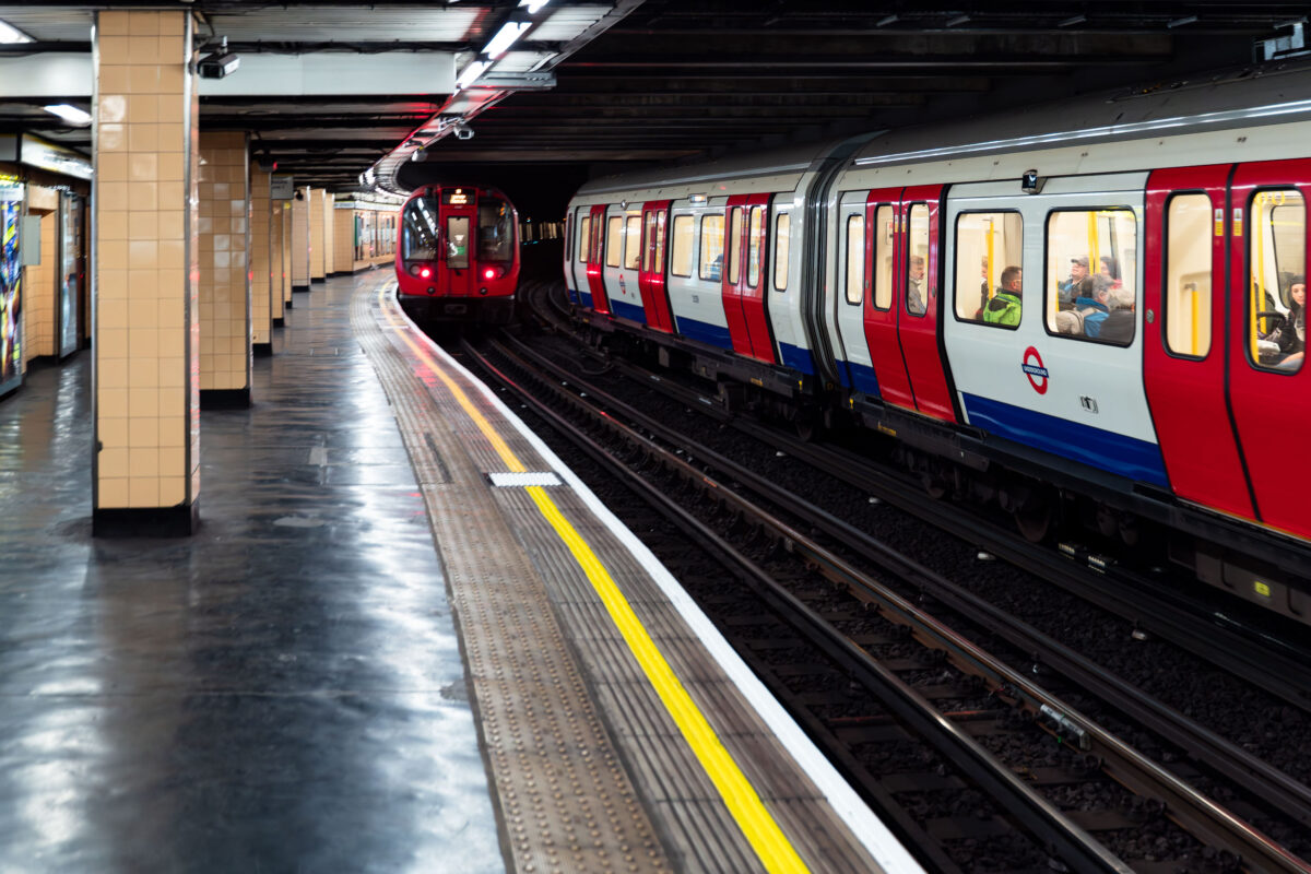
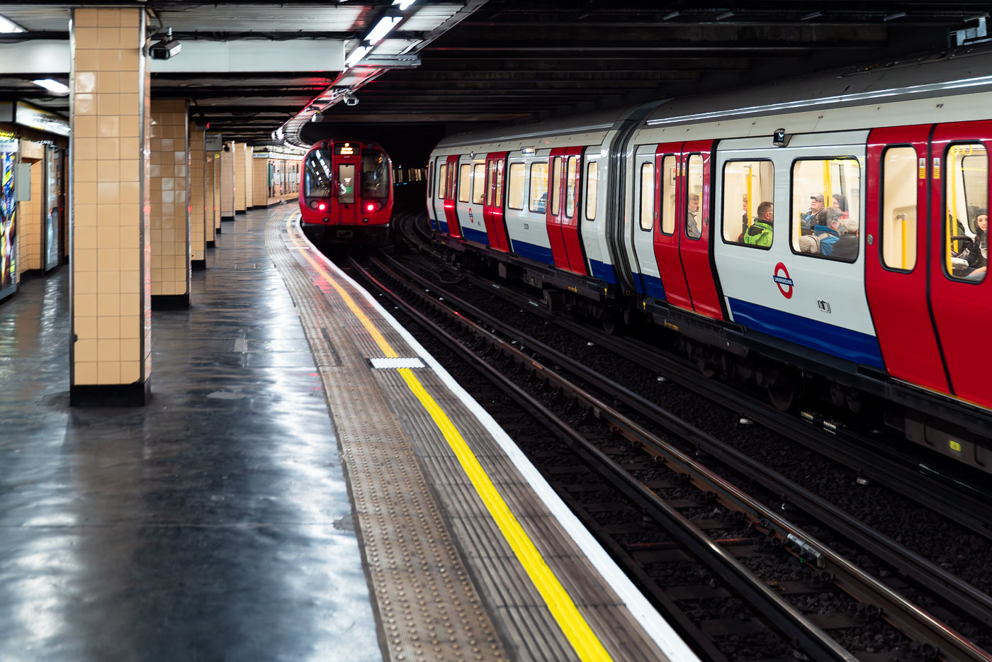
Red and blue London Underground trains stopped at a curved platform at Piccadilly Circus Station.
Piccadilly Circus Station on the London Underground has two trains on the curved deep-level platform. The station sits beneath Piccadilly Circus in the West End and is part of the Bakerloo and Piccadilly lines interchange.

Two Trains Meet on the Curved Platform at Piccadilly Circus Station
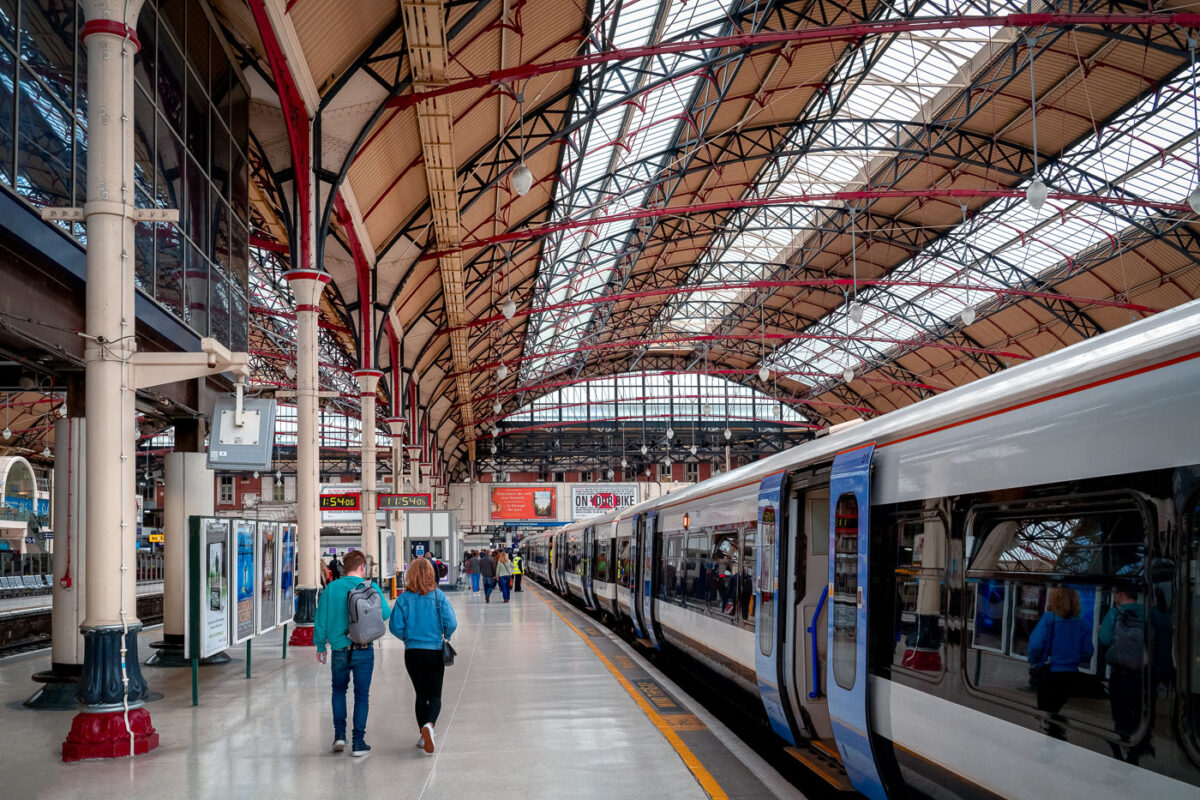
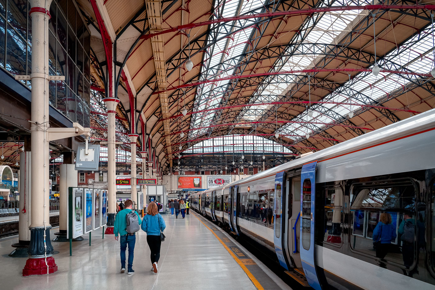
Passengers walk on the platform at London Victoria Station beneath a Victorian iron-and-glass roof canopy with a train stopped at the platform.
London Victoria Station in London has platforms beneath a broad iron-and-glass train shed. A Southern train stands at the platform while passengers walk along the concourse under the Victorian roof structure.

Passengers Walking the Platform at London Victoria Station
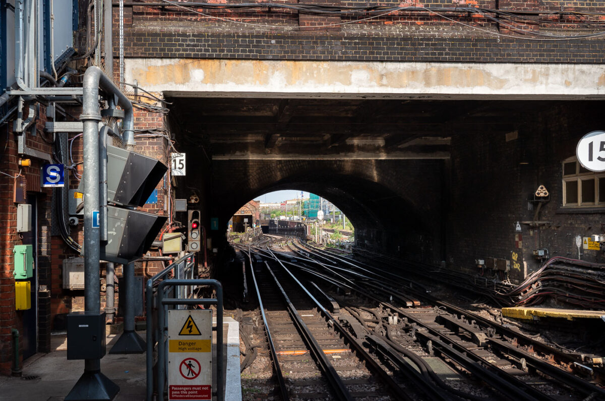
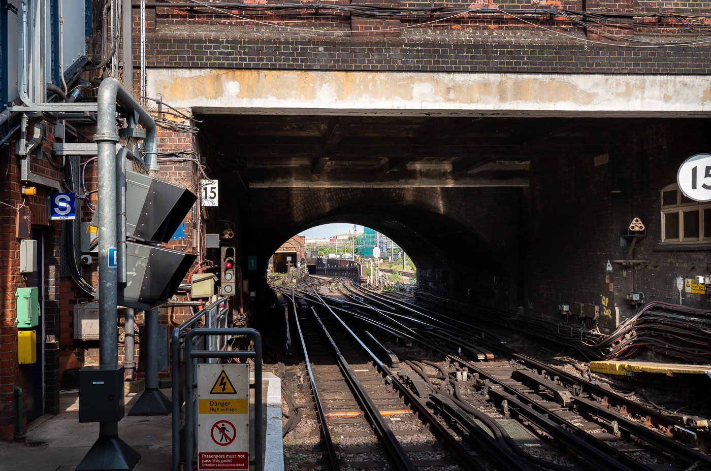
Queen's Park Station rail junction in London where Bakerloo Line tracks converge beneath a brick bridge arch.
Queen's Park Station in northwest London is a junction where the Bakerloo Line meets Network Rail tracks. The station opened in 1915 and marks the western end of the Bakerloo Line's shared section with London Overground and mainline services.

Tracks Curving Into the Tunnel at Queen’s Park Station
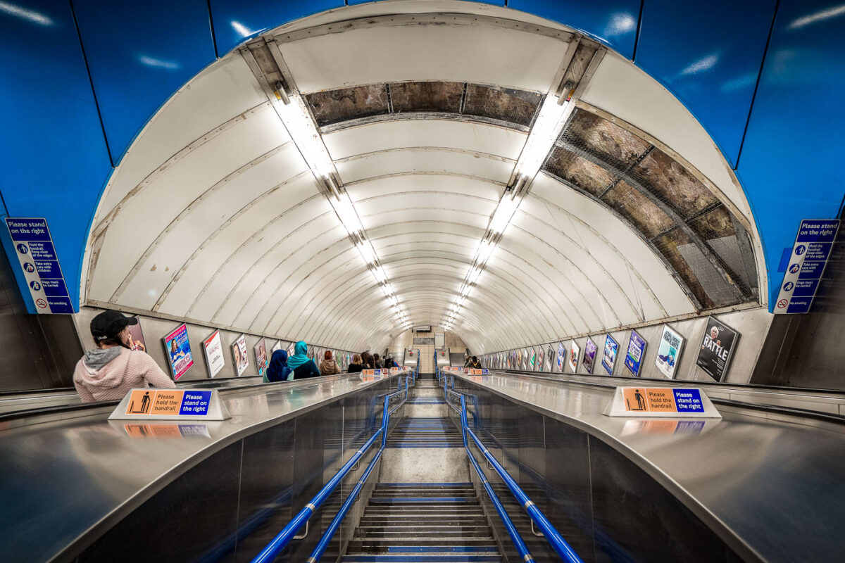
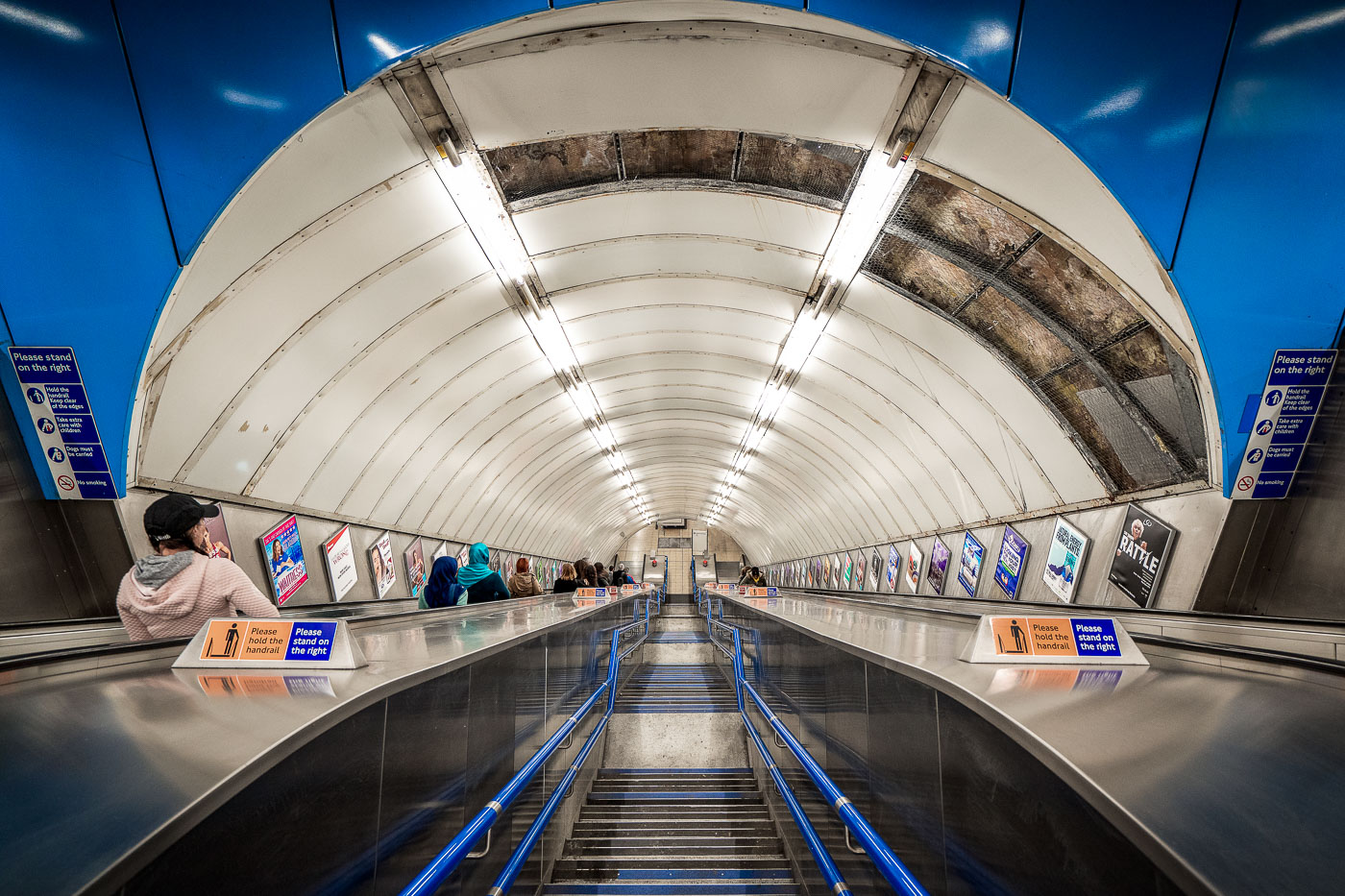
Escalator tunnel at Charing Cross Underground Station in London with white curved walls, fluorescent lighting, and blue handrails descending into the station.
Charing Cross Underground Station in central London has long escalator tunnels linking the platforms and concourse. The station serves the Bakerloo and Northern lines and is one of the Underground’s major interchanges in the West End area. Posters line the tunnel walls beside the escalators.

Poster-Lined Escalator Tunnel at Charing Cross Station
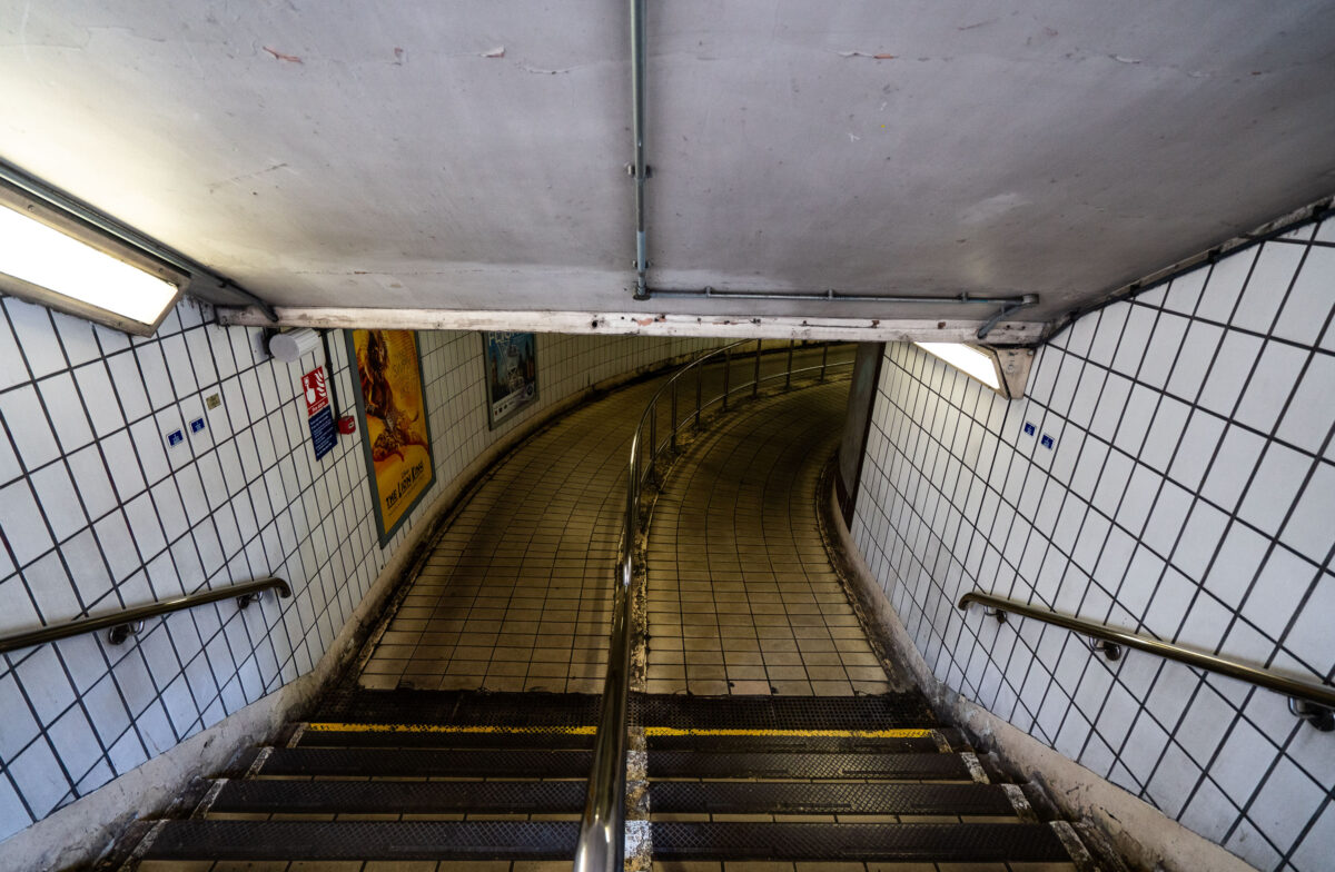
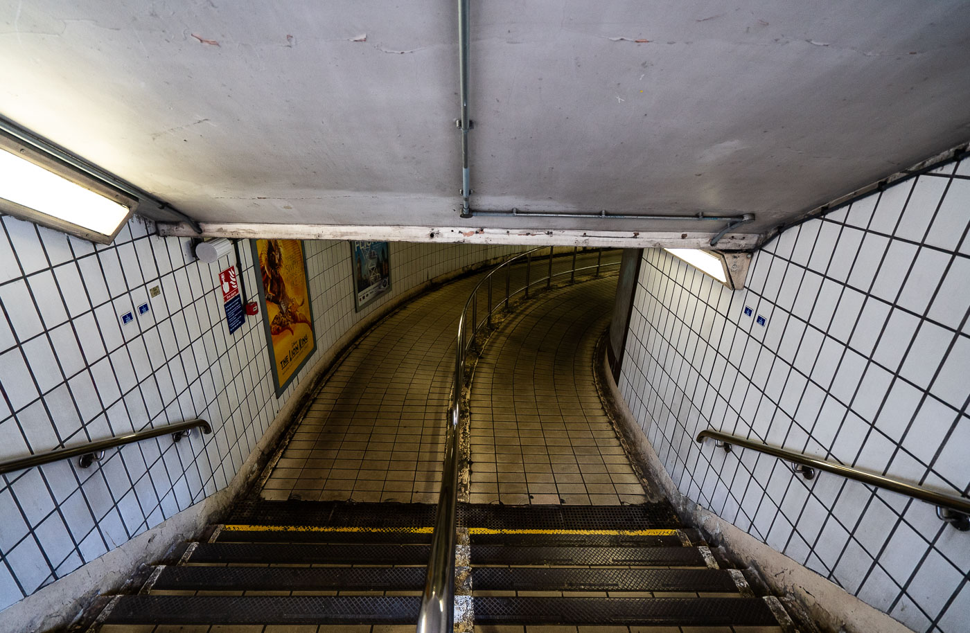
Curved white-tiled pedestrian passageway at Charing Cross Station underground linking tunnel with metal handrails and fluorescent lighting.
Charing Cross Station in London has a curved tiled pedestrian passageway linking parts of the Underground complex. The corridor features white wall tiles, stainless-steel handrails, fluorescent lighting, and posters mounted along the walls.

Curved Stairway to the Tunnel at Charing Cross Station
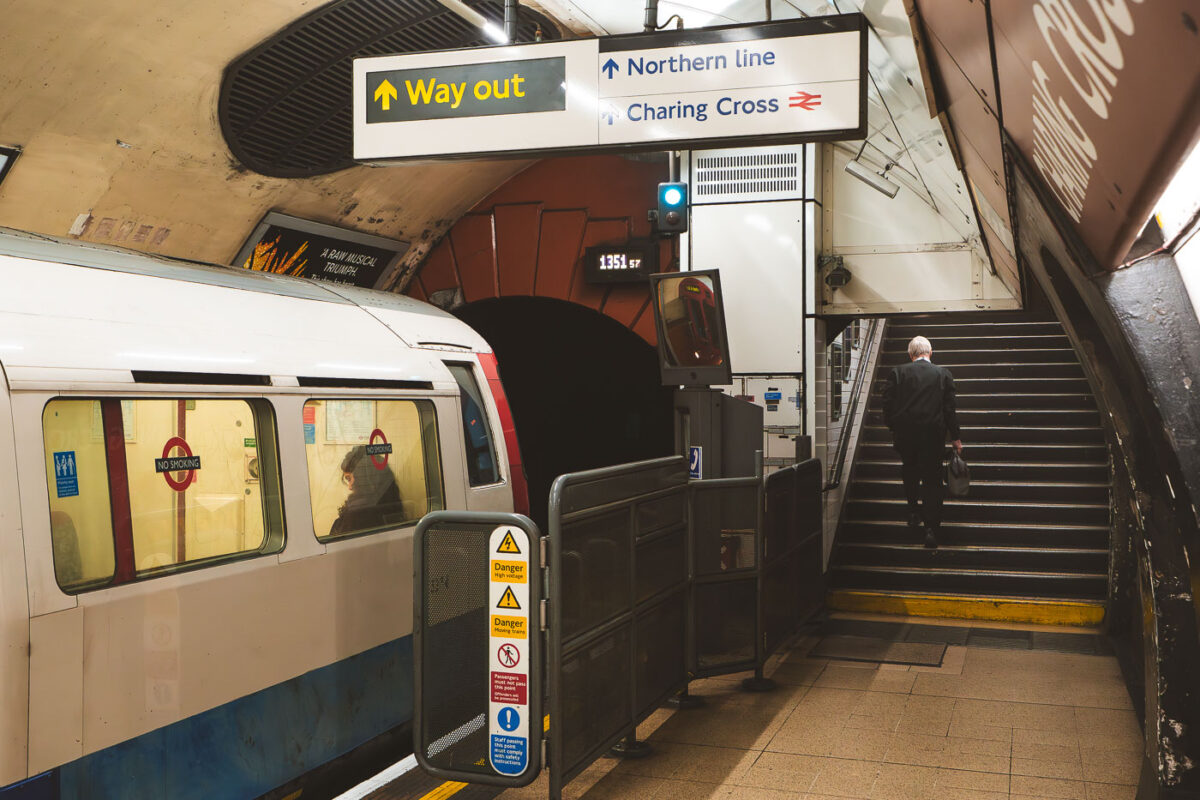
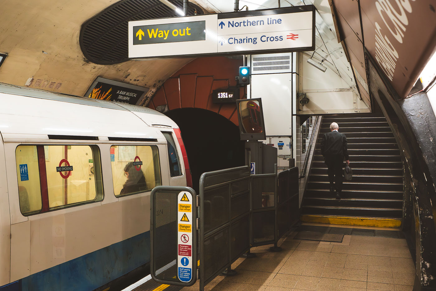
A Bakerloo line train stops at Charing Cross Underground station platform with directional signage and stairs visible beyond.
Charing Cross Underground Station in central London is the southern terminus of the Bakerloo line. A Bakerloo train stands at the platform beside the tunnel mouth and exit signs for the Northern line and Charing Cross National Rail station.

Way Out Signs on the Bakerloo Line Platform at Charing Cross
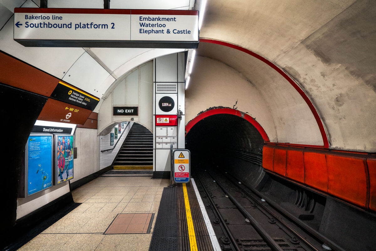
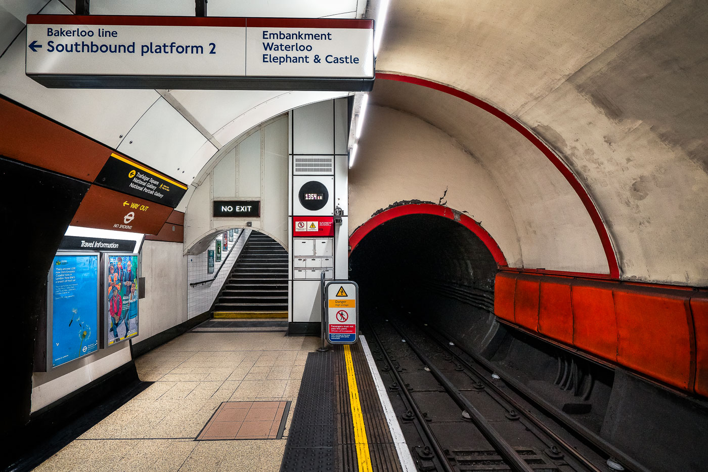
Bakerloo line southbound platform 2 at Charing Cross Underground station in London with red-rimmed tunnel entrance and directional signage.
Charing Cross Underground Station in central London has a southbound Bakerloo line platform with a curved tube tunnel and tiled stairway access. The station’s platform 2 signs point toward Embankment, Waterloo, and Elephant & Castle, which are the next southbound stops on the line.

Tunnel Curve at Charing Cross Station’s Bakerloo Platform
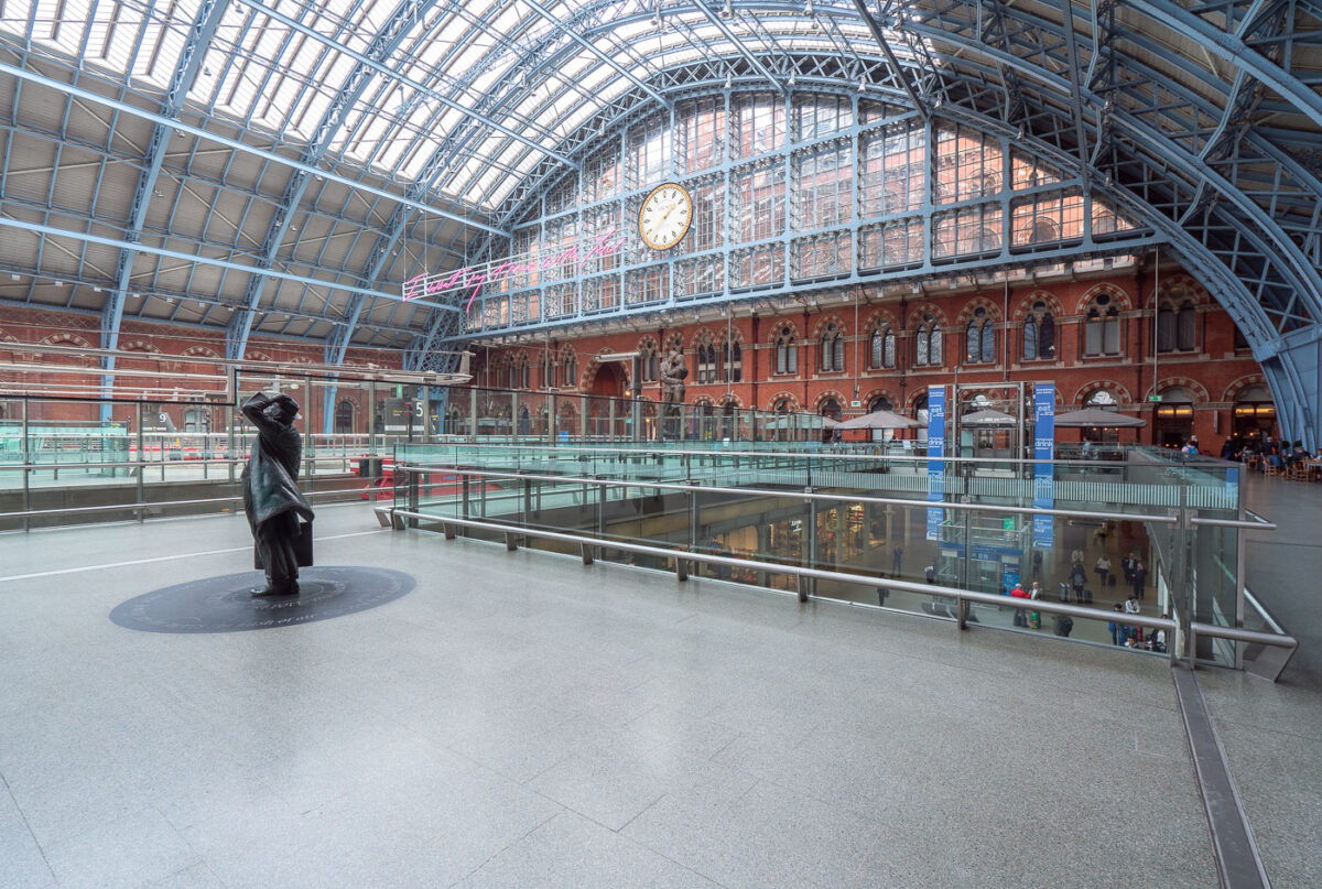
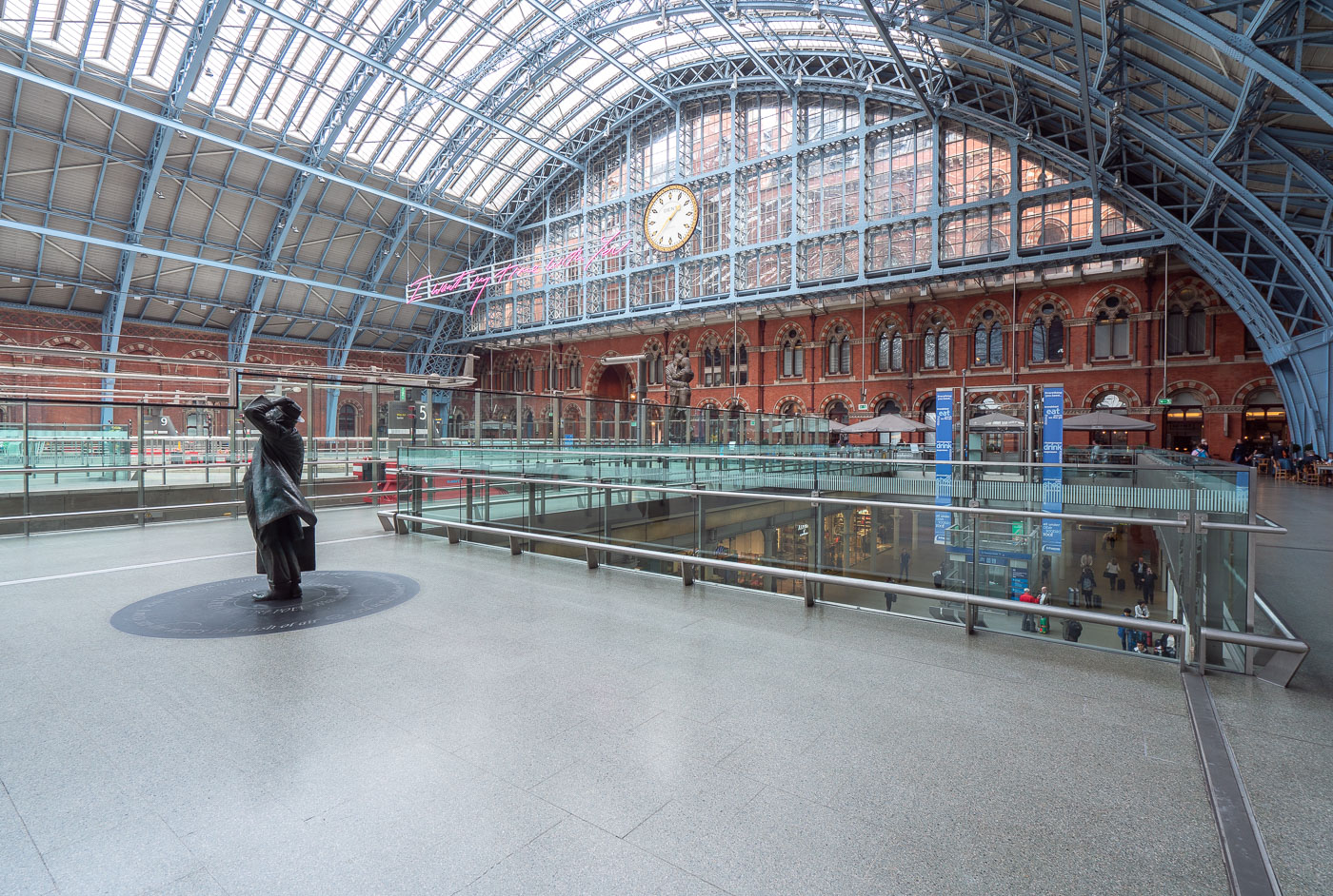
A solitary figure stands in the main concourse of King's Cross St Pancras station beneath its distinctive arched iron and glass Barlow Shed roof.
King's Cross St Pancras station in London features the main concourse beneath the Barlow Shed roof. The station opened in 1852 and serves both National Rail and the London Underground.

Statue and Clock Beneath the Train Shed at St Pancras International
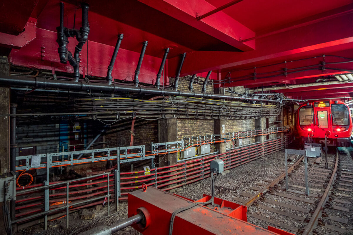
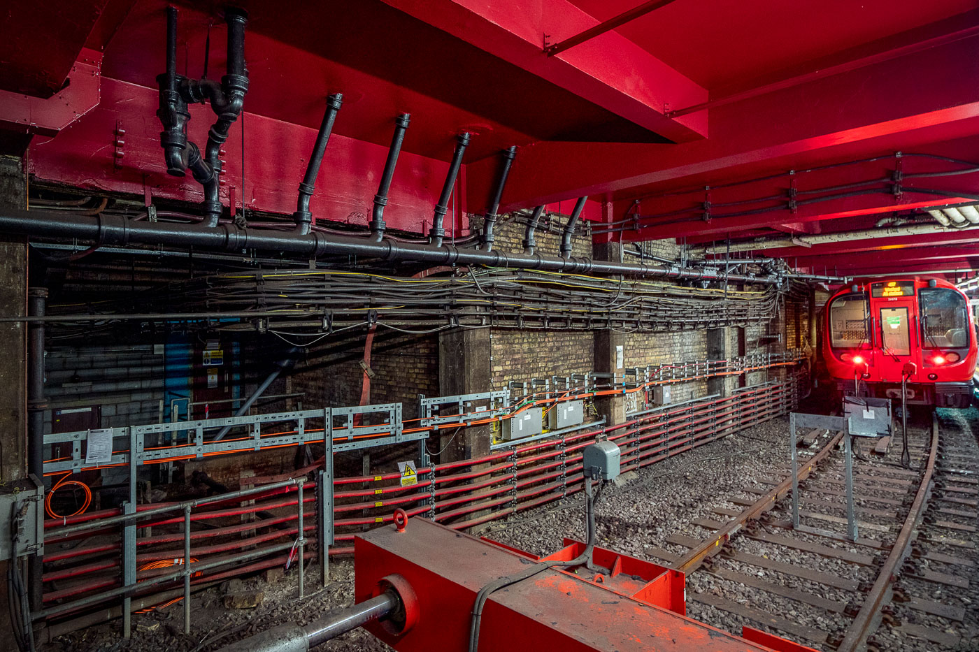
Baker Street station platform on the Metropolitan line features exposed brick walls, red ceiling infrastructure, and railway equipment alongside electrified tracks.
Baker Street Station in London’s Metropolitan line tunnels shows exposed brickwork, pipes, cabling and modern service equipment alongside the running rails. The station is part of the world’s oldest underground railway network, with origins in the 1860s.

Cabling and Pipework Along the Tunnel at Baker Street Station
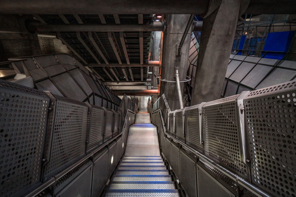
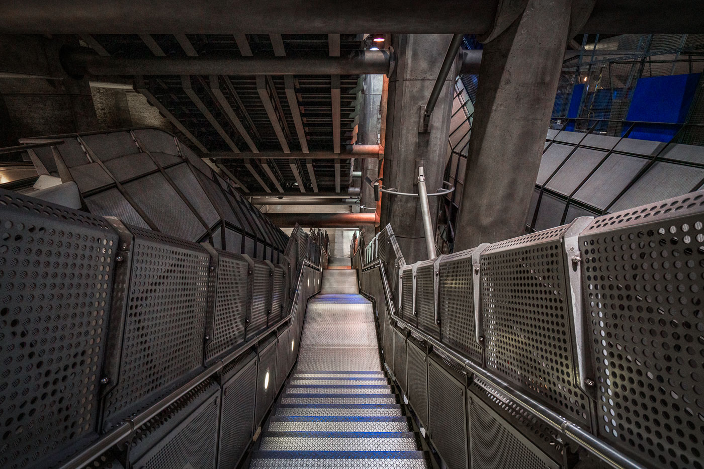
A long metal stairwell at Westminster Station on the London Underground Jubilee line, with perforated metal panels flanking the stairs and exposed concrete infrastructure overhead.
Westminster Station in London has a deep stairwell leading through the Jubilee line extension platforms. The station was designed by Foster + Partners and opened in 1999 as part of the rebuilt Underground interchange beneath Parliament Square. Exposed concrete, metal panels, and steel framing define the circulation space.

Perforated Steel Stairwell at Westminster Station
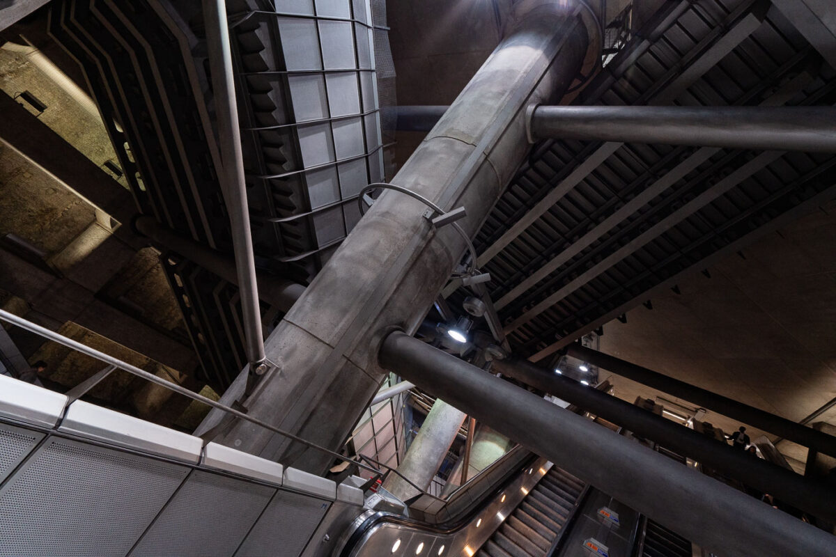
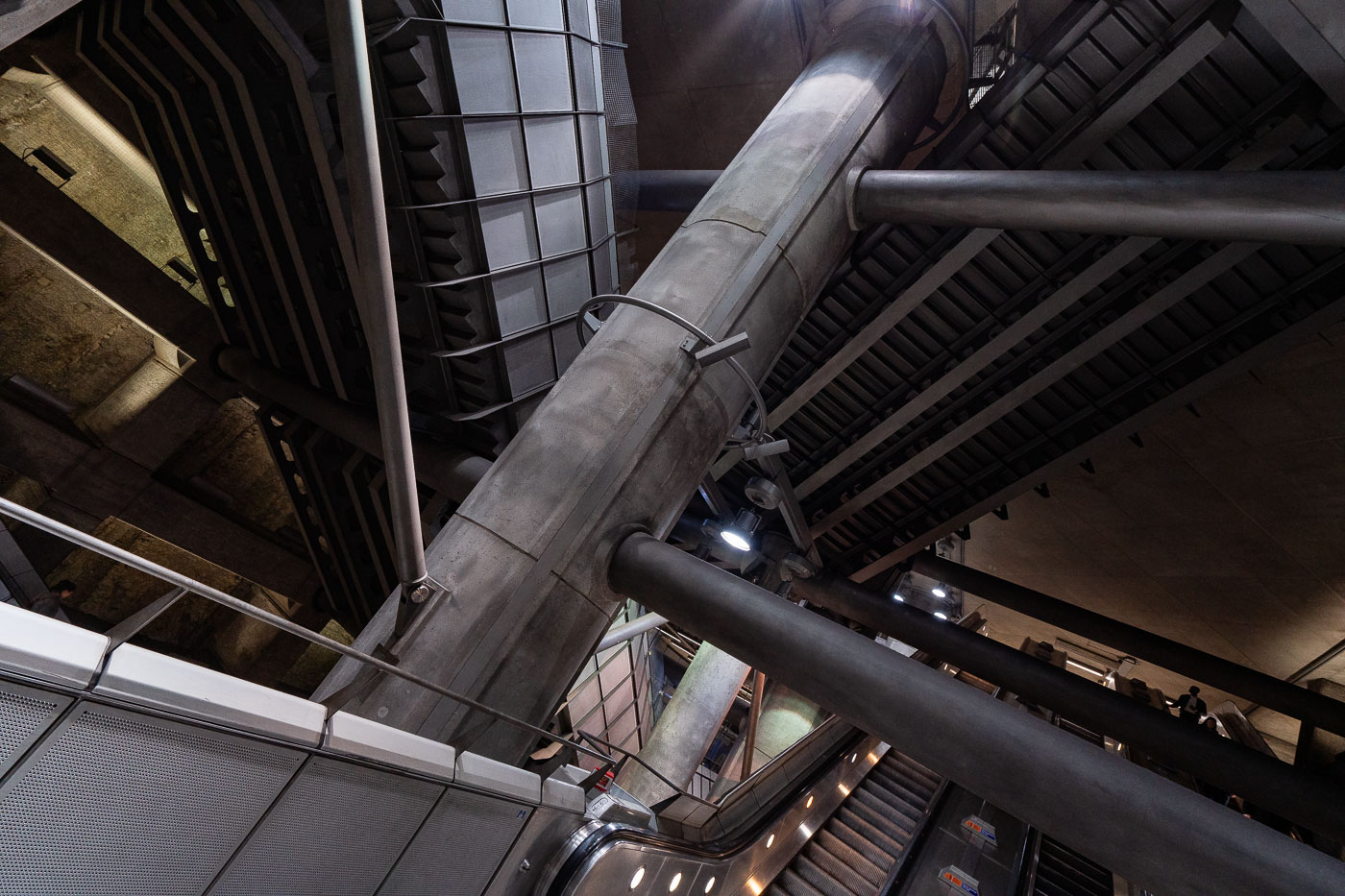
Westminster Station escalator hall on the London Underground Jubilee line features curved white walls, fluorescent lighting, and metal handrails.
Westminster Station in London features the Jubilee line extension concourse and escalator hall. The station was rebuilt in the 1990s as part of the line extension to serve the Underground interchange near Parliament Square.

Steel Structure of Westminster Station’s Escalator Hall
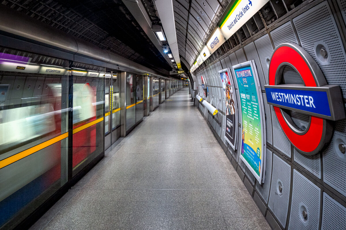
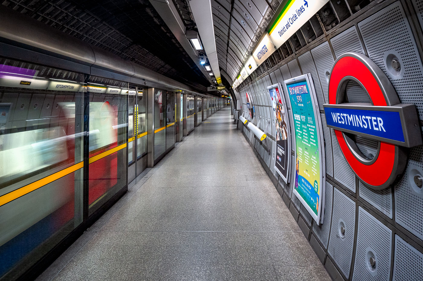
Westminster Station platform on the London Underground Jubilee Line with a train stopped at full-height screen doors and curved aluminum wall panels.
Westminster Station on the Jubilee Line in London features a deep-level platform with full-height screen doors and curved aluminium wall panels. Designed by Foster + Partners for the Jubilee Line Extension, the station opened in 1999 and serves Westminster in central London.

Train Arriving at Westminster Station’s Jubilee Line Platform
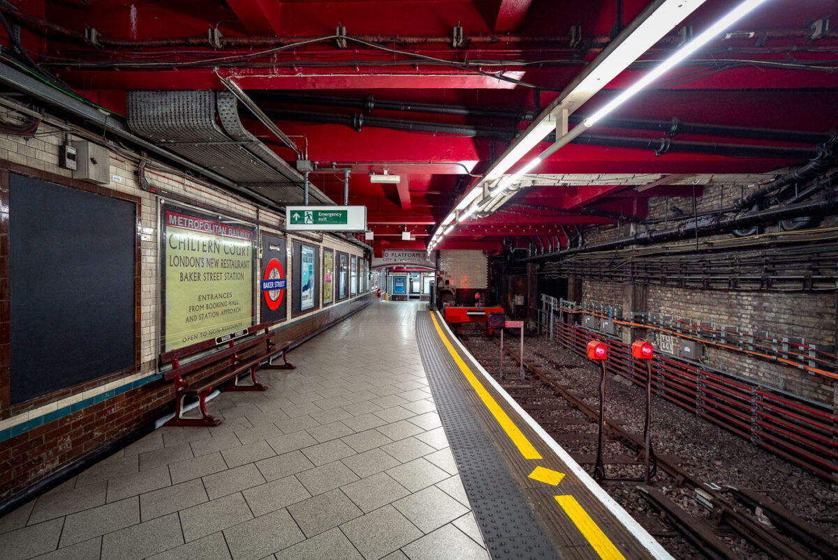
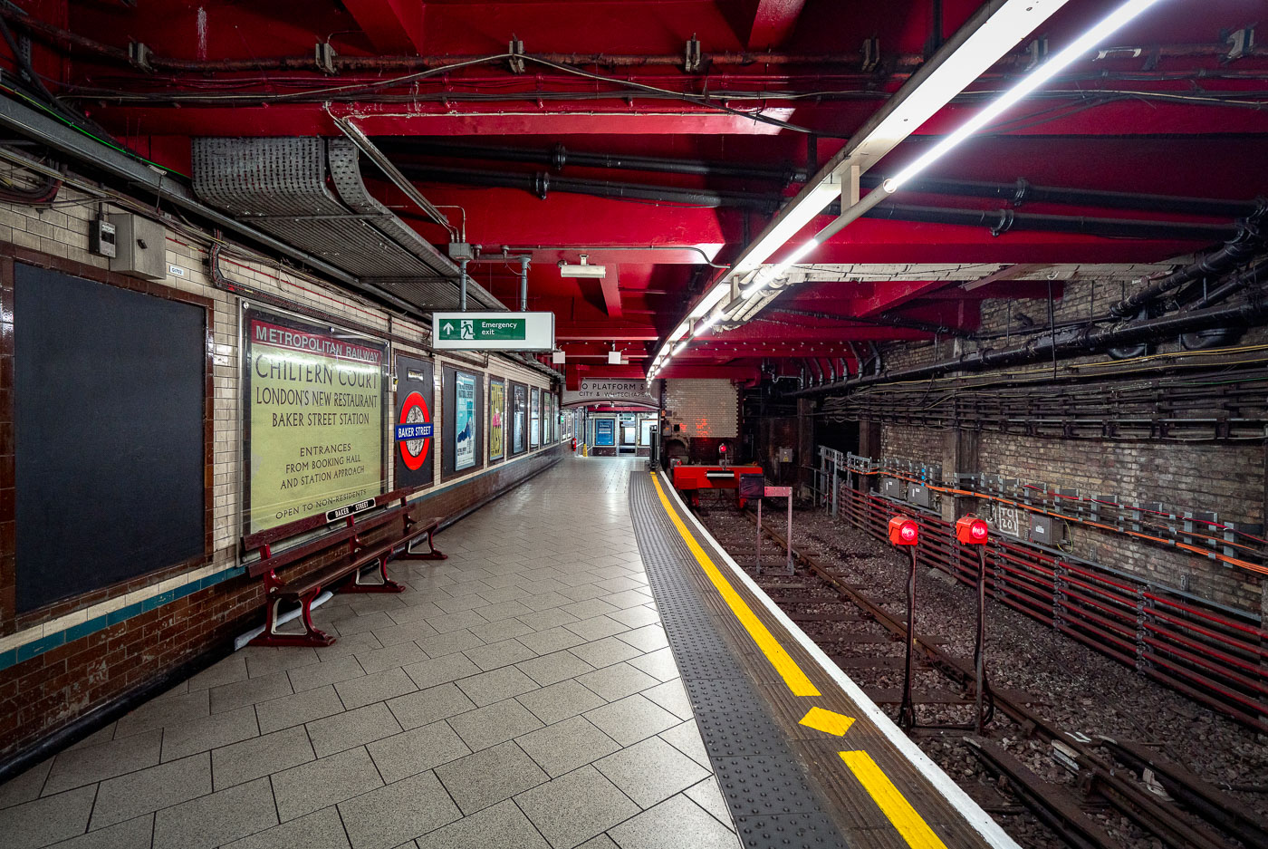
Baker Street Station's Metropolitan Line platform in London features Victorian brick walls, red ceiling, yellow safety lines, and modern fluorescent lighting along the empty track.
Baker Street Station’s Metropolitan Line platform in London is one of the oldest surviving sections of the Underground. The platform retains Victorian-era brickwork and tunnel fabric alongside modern lighting, safety markings, and service signage.

Chiltern Court Sign on the Platform at Baker Street Station
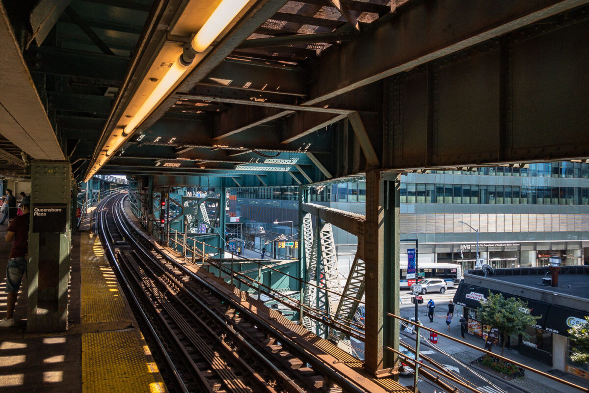
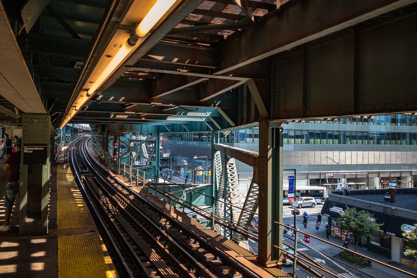
Queensboro Plaza elevated train station platform with steel trusswork, tracks, and Manhattan skyline visible beyond.
Queensboro Plaza elevated train station in Long Island City, Queens, New York City. The station features multiple tracks and platforms, with the distinctive green and steel structure of the elevated railway overhead. This station is a key transit hub, serving as a transfer point for the 7 train and formerly for the Long Island Rail Road. Its construction and ongoing operation are integral to the connectivity of Queens with Manhattan and the rest of the city's transit network.

Elevated Tracks Curve Toward Long Island City at Queensboro Plaza
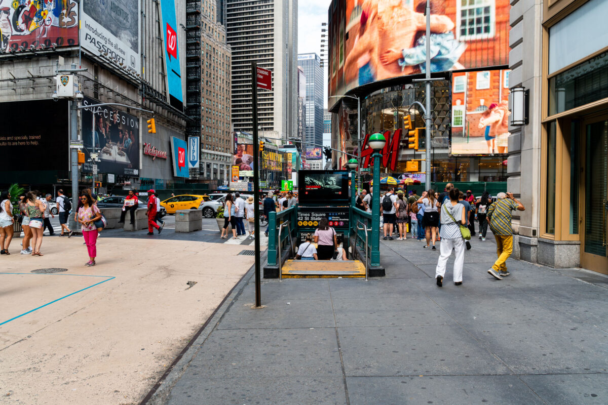
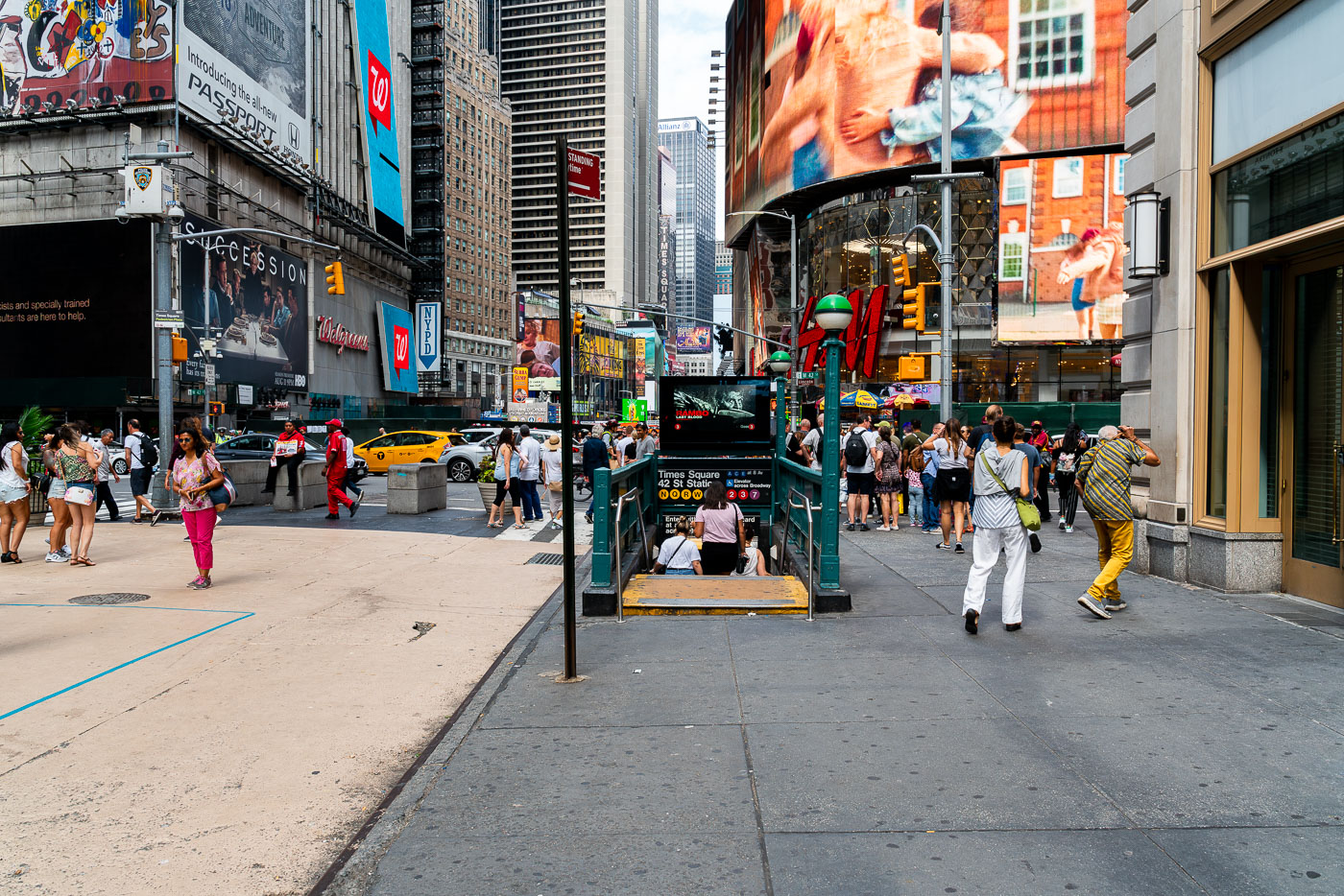
Pedestrians gather around the 42nd Street–Times Square subway station entrance on a busy Manhattan street.
The 42nd Street–Times Square station, a major transit hub in Manhattan, serves as a critical connection point for multiple subway lines. This station, one of the busiest in New York City, is situated beneath the vibrant commercial and entertainment district of Times Square.

Crowds Entering the 42nd St-Times Square Subway Station
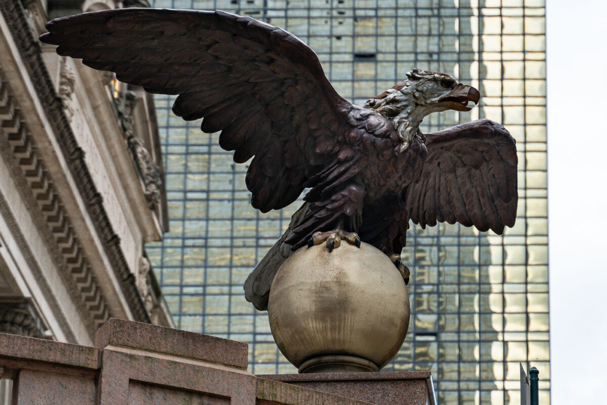
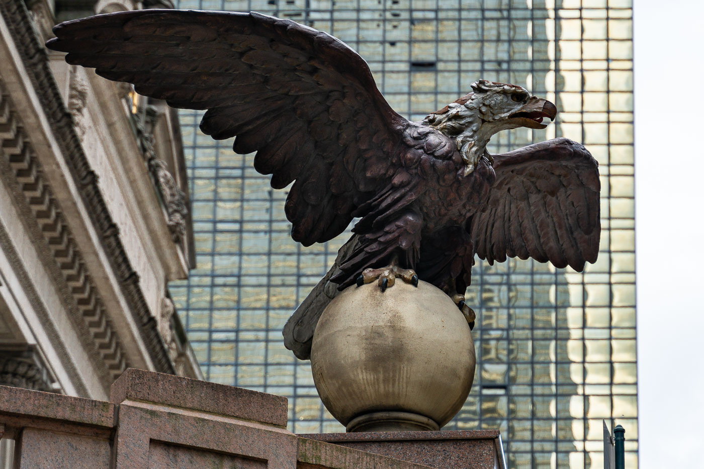
Bronze eagle sculpture perched on a sphere outside Grand Central Terminal in Manhattan.
An eagle statue perched on a globe stands outside Grand Central Terminal in Manhattan. The bronze sculpture, one of several around the historic landmark, looks out over Midtown with the glass facade of the MetLife Building rising in the background.

Eagle Statue Outside Grand Central Terminal
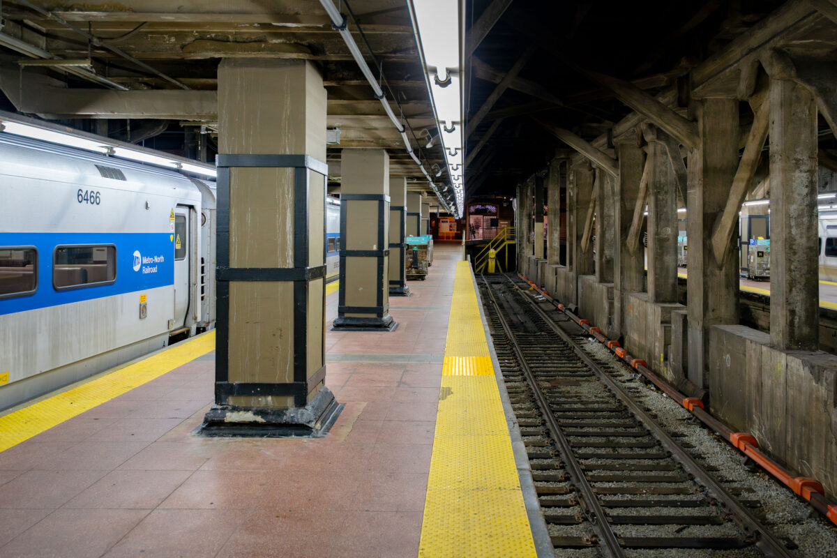
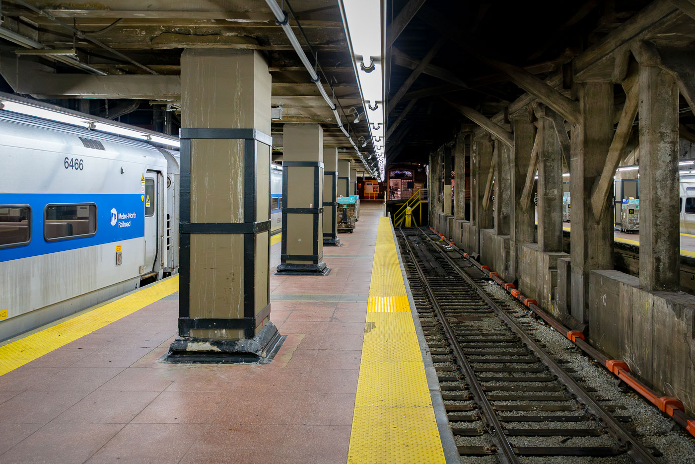
Metro-North Railroad train at platform inside Grand Central Terminal in Manhattan.
A Metro-North Railroad train waits at a platform inside Grand Central Terminal in Manhattan.

Metro-North Train at the Platform in Grand Central Terminal
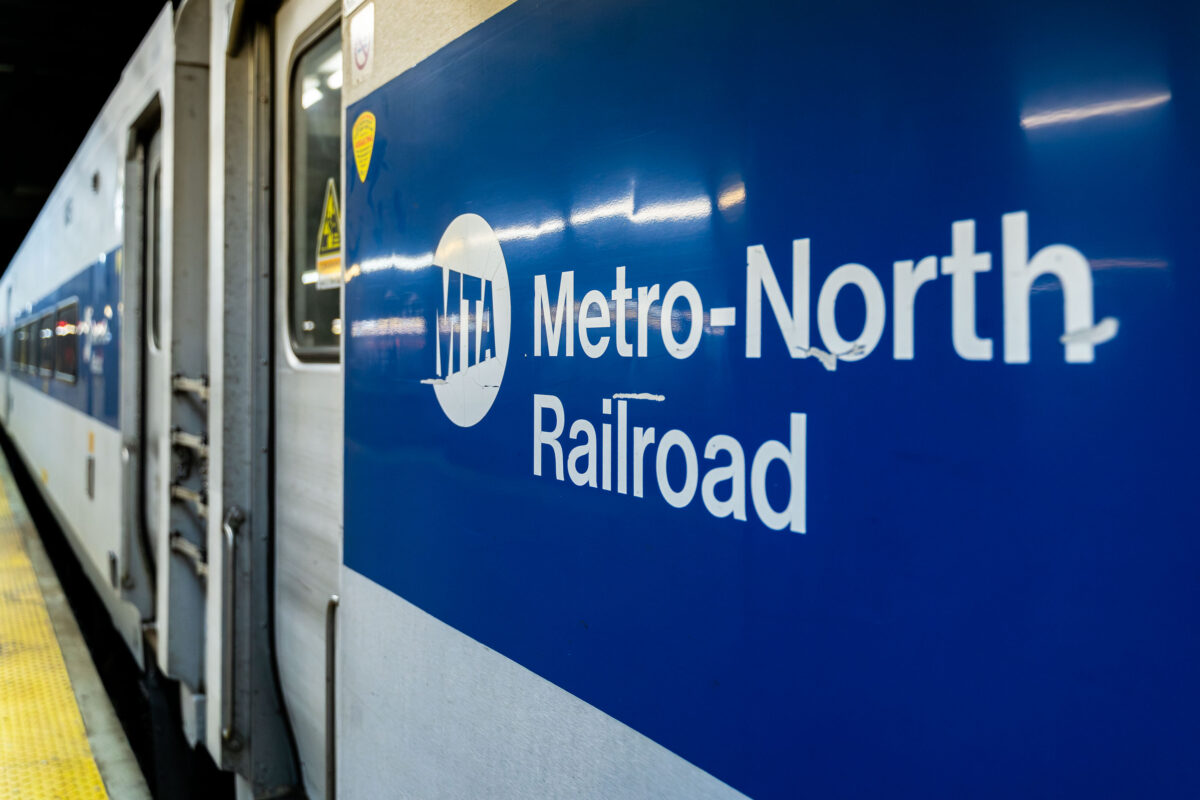
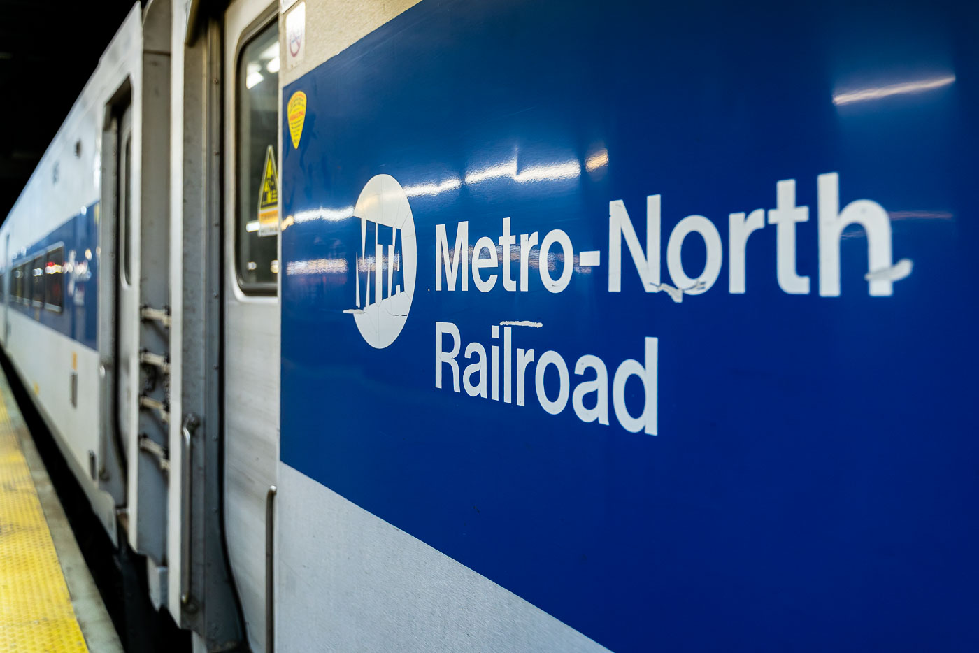
Metro-North Railroad commuter train with blue-and-white livery at a New York station platform.
A Metro-North Railroad train is seen at a station platform, its blue-and-white exterior bearing the MTA logo. The commuter rail line, operated by the Metropolitan Transportation Authority, connects New York City with suburbs across New York State and Connecticut.

Metro-North Railroad Car on the Platform at Grand Central
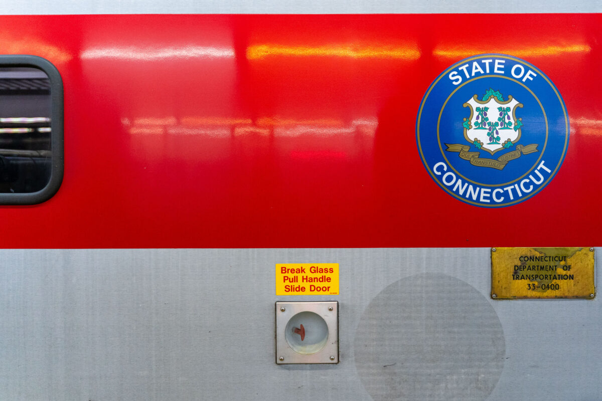
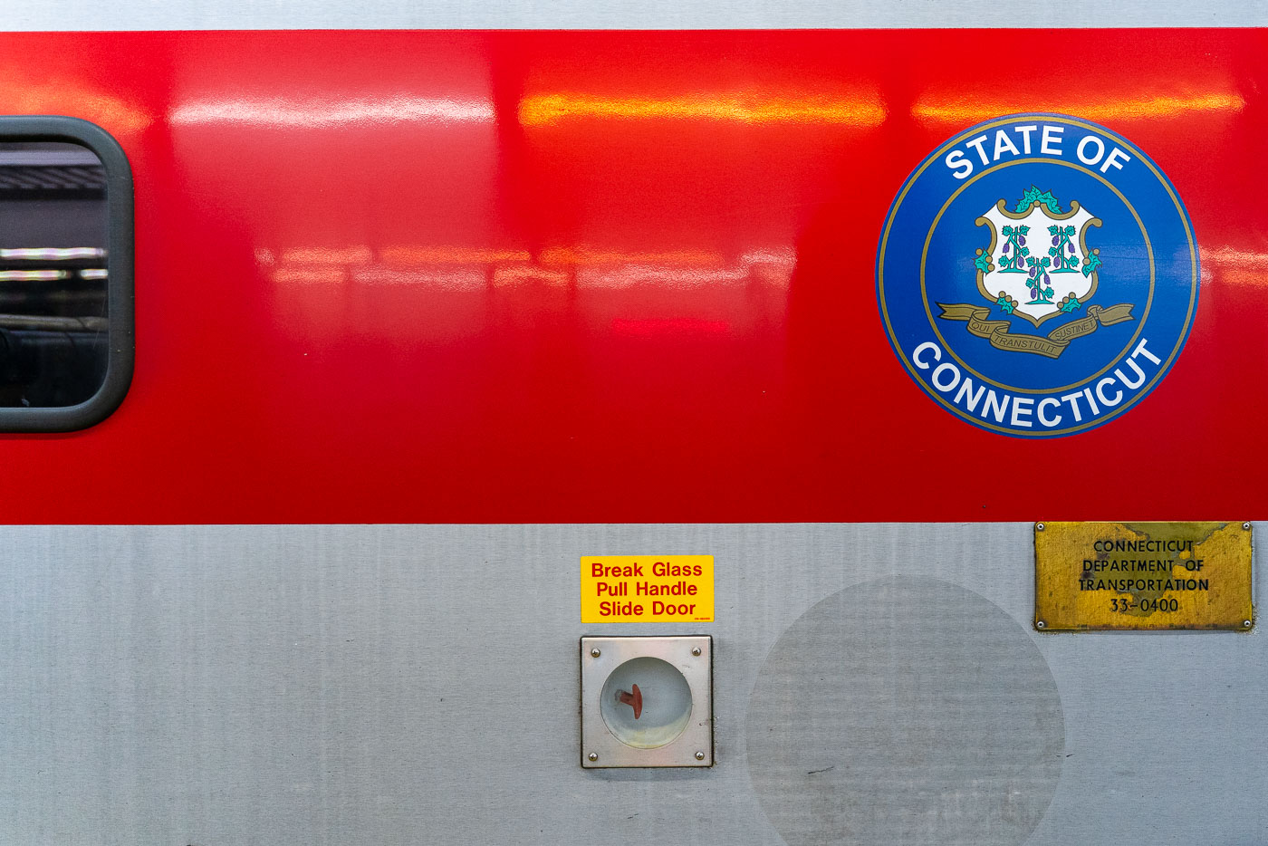
State of Connecticut seal displayed on the side of a red Metro-North Railroad commuter train car.
A Connecticut state seal is displayed on the side of a Metro-North Railroad train car, operated in partnership with the Connecticut Department of Transportation. The red-and-silver exterior includes safety instructions and signage, highlighting the regional rail system that connects commuters between New York and Connecticut.

Connecticut DOT Seal on a Metro-North Railcar
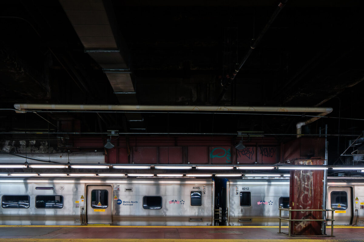
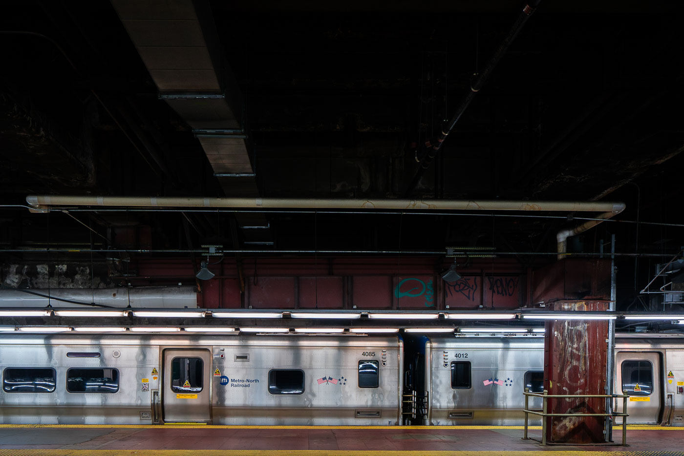
Metro-North Railroad commuter train at Grand Central Terminal platform in Manhattan.
A Metro-North Railroad train sits at a platform inside Grand Central Terminal in Manhattan. The stainless-steel cars reflect the dim lighting of the underground station, where exposed pipes and graffiti-marked beams highlight the aging infrastructure of the busy commuter hub.

Metro-North Railcars on the Platform, Grand Central Terminal
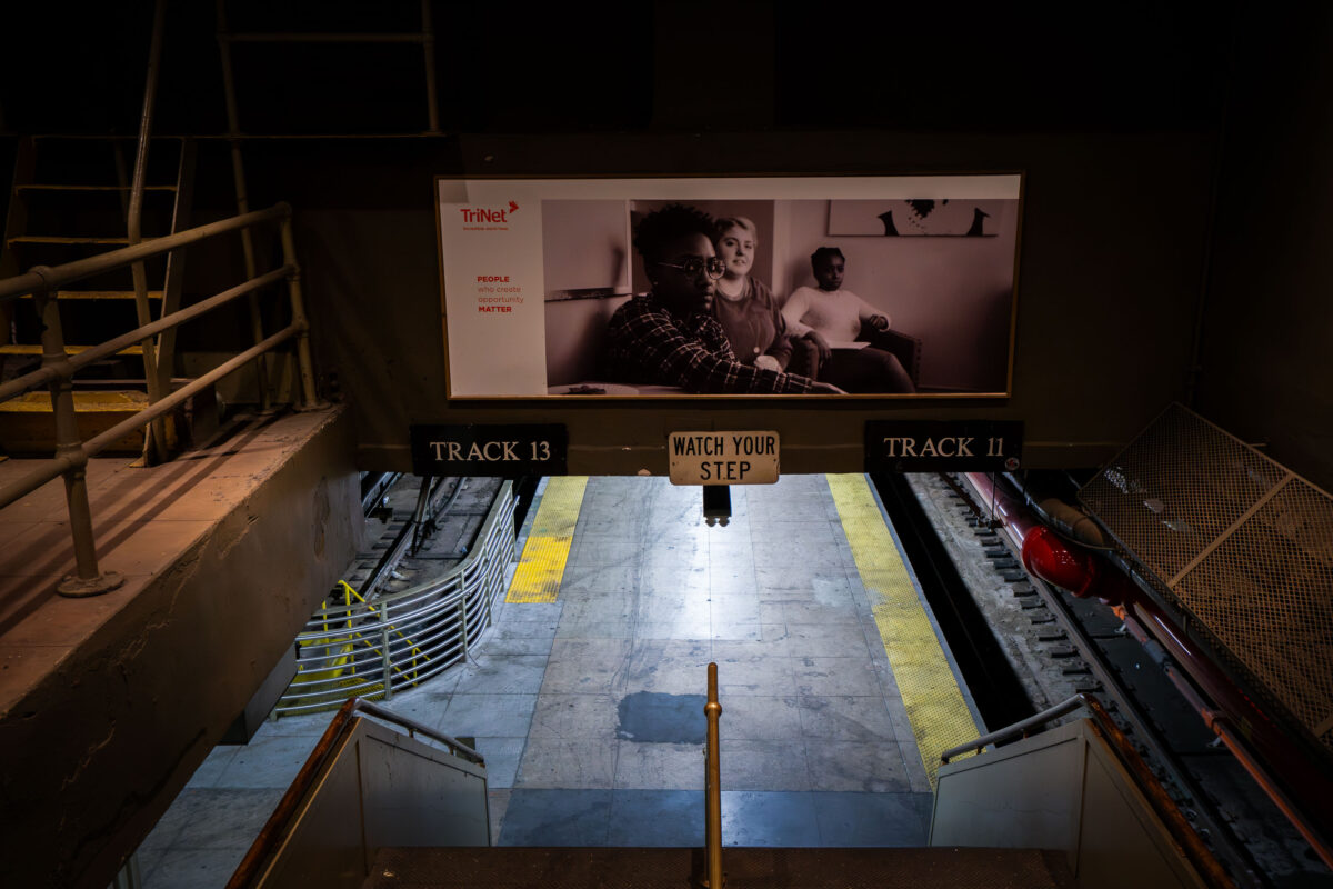
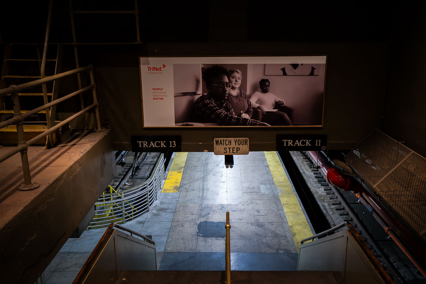
Penn Station platform between Tracks 11 and 13 with TriNet advertisement screen above.
A stairway leads down to the train platforms for Tracks 11 and 13 at Penn Station in Manhattan.

Stairway Down to Tracks 11 and 13 at Penn Station

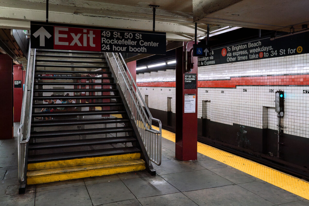
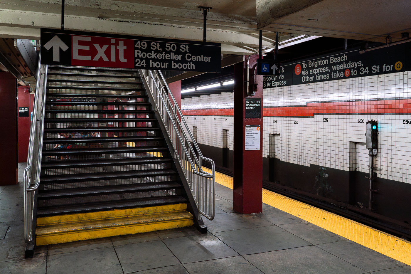
Exit staircase at 49-50 Streets Rockefeller Center subway station in Manhattan.
A staircase with metal railings and yellow-striped steps leads to an "Exit" sign for the 49-50 Streets Rockefeller Center subway station, which includes a 24-hour booth. The station serves the B, D, F, and M lines, with signage indicating routes to Brighton Beach and 34th Street.

Platform View of the 47-50 Sts Rockefeller Center Subway Station

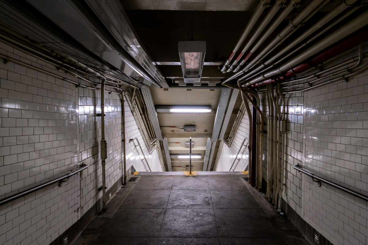
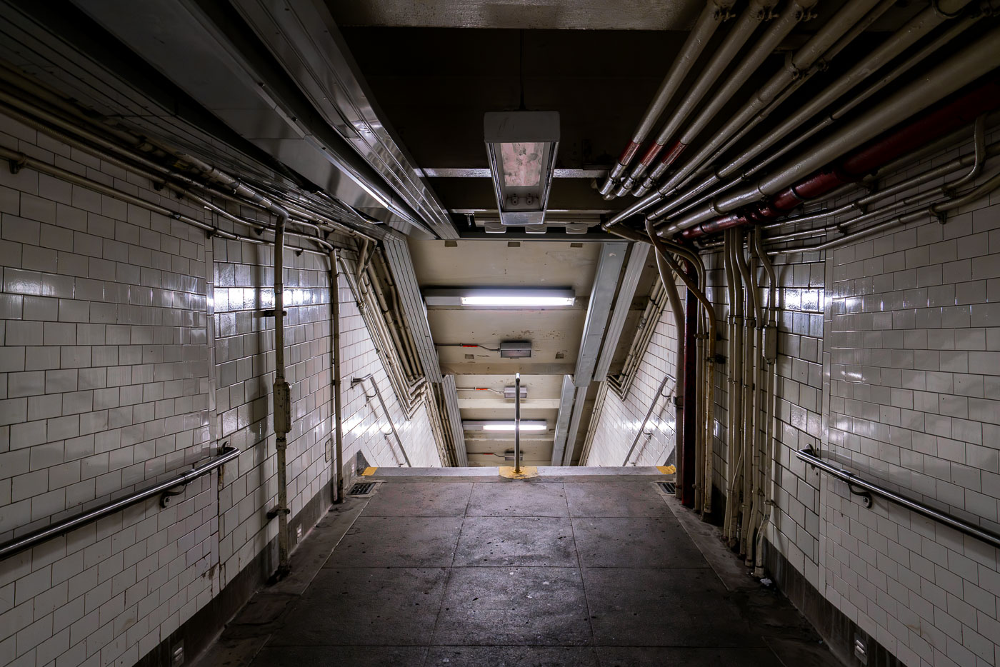
Descending stairway in a New York City subway station with white tile walls and exposed overhead piping.
A dimly lit stairway descends into a New York City subway station, revealing extensive exposed piping and tiled walls characteristic of aging transit infrastructure.

Tiled Stairwell and Overhead Pipes in an NYC Subway Passage

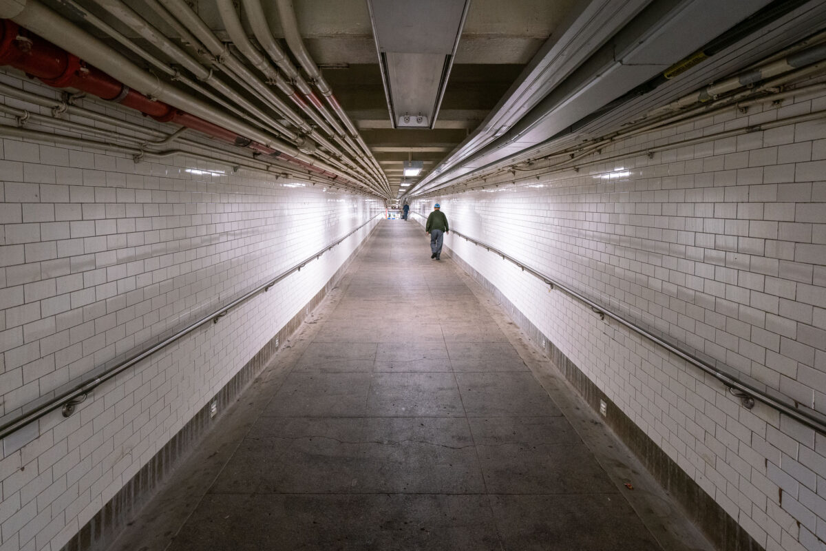
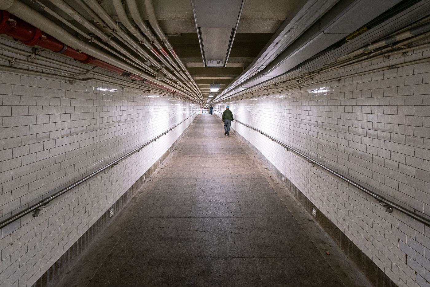
A solitary pedestrian walks through a white-tiled New York City subway tunnel with overhead pipes and conduits.
A lone figure walks through a long, tiled tunnel in the New York City Subway system, with numerous pipes and conduits visible overhead.

Lone Commuter in a Tiled Subway Passageway

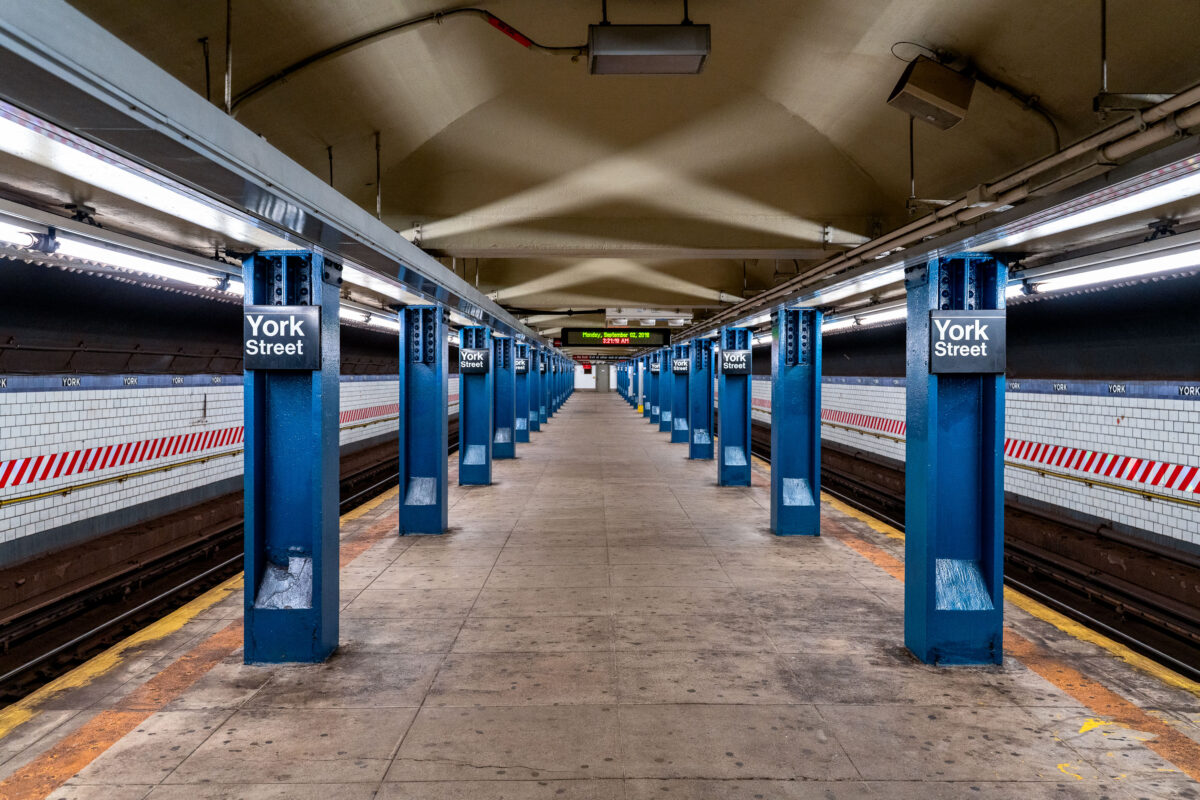
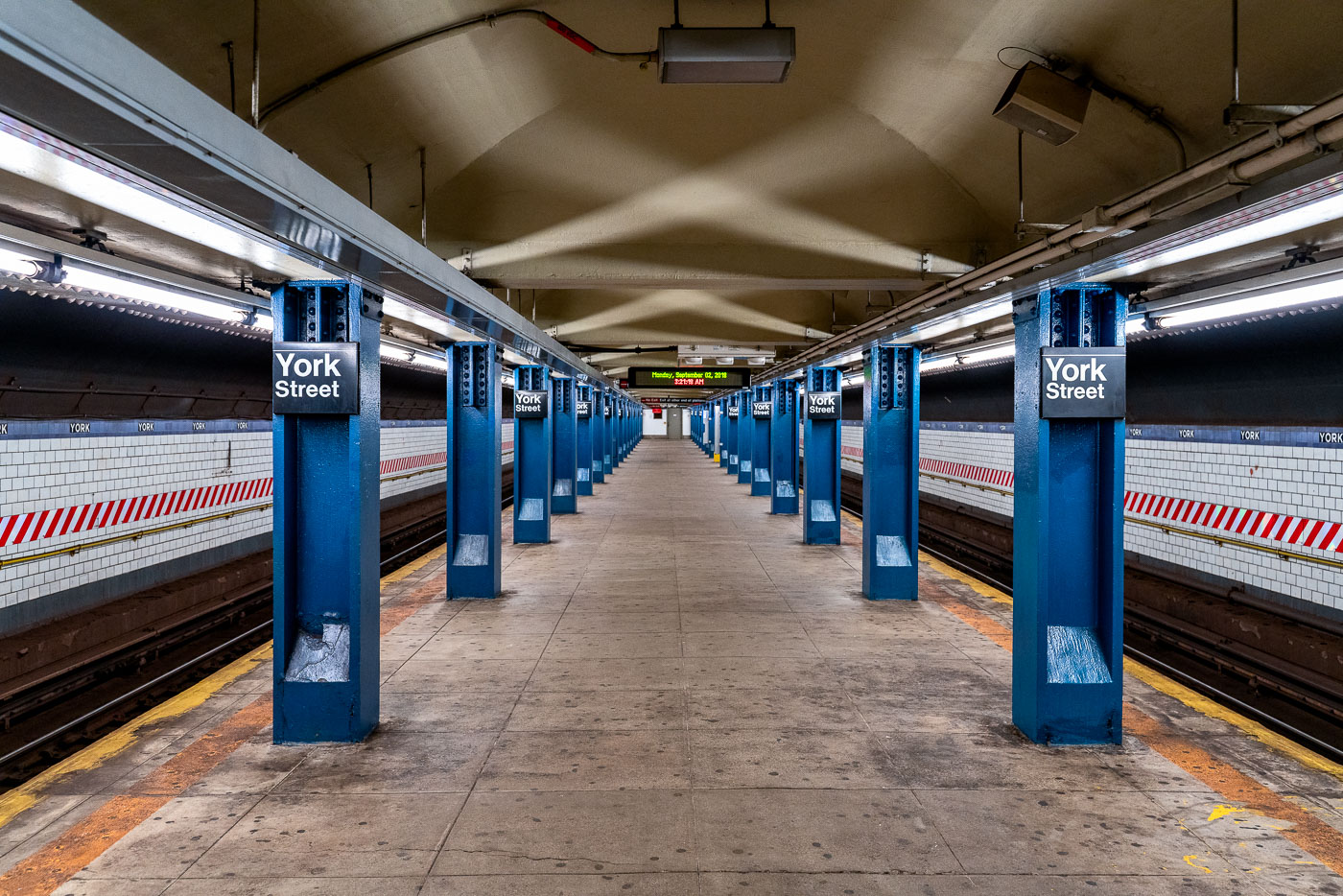
York Street subway station platform in Brooklyn with blue columns and fluorescent lighting.
The York Street subway station, located in the DUMBO neighborhood of Brooklyn, New York, serves the F and M trains. Opened in 1931, it is one of the deepest subway stations in the New York City Subway system.

Repeating Blue Columns Along the Platform at York Street Station

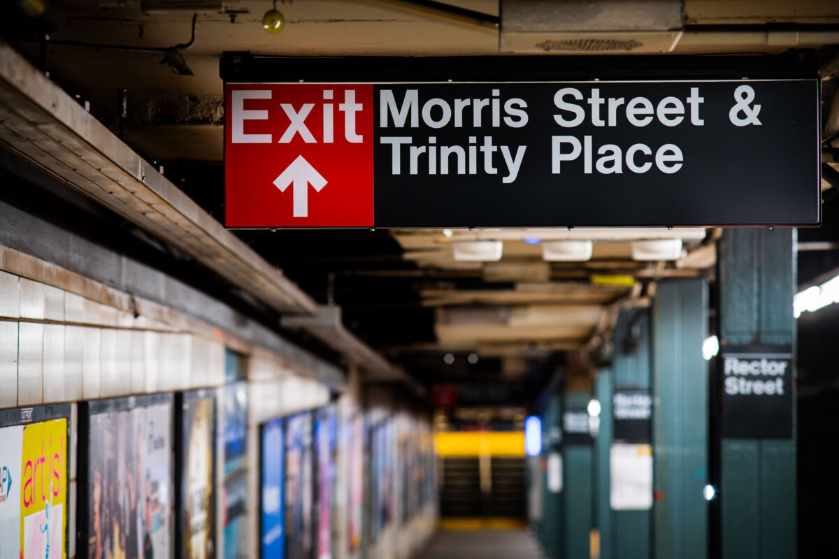
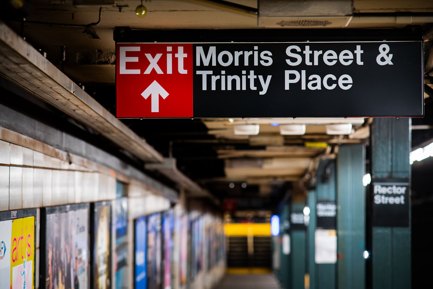
Exit sign at Rector Street subway station directing to Morris Street and Trinity Place in Manhattan.
Rector Street station serves the R train on the Broadway Line, running beneath Broadway in Lower Manhattan. It opened in 1904 as one of the original stations on the city's first subway line, built by the Interborough Rapid Transit Company. The station's exits connect riders to Trinity Place and Morris Street, placing it a short walk from Trinity Church and the New York Stock Exchange. Its platforms and mezzanines still carry much of the original tiling and signage typical of early IRT construction.

Exit Toward Morris Street and Trinity Place at Rector Street Station

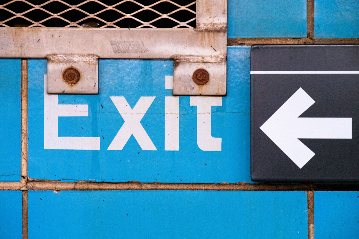
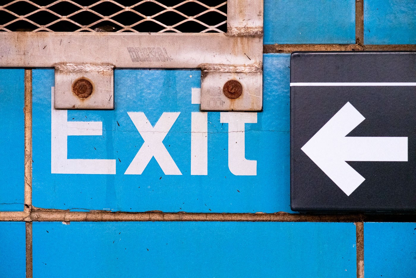
Exit sign with left-pointing arrow at Rector Street subway station in Manhattan.
Exit signage is visible at the Rector Street subway station in Manhattan, New York City. This station, part of the Metropolitan Transportation Authority (MTA) system, serves as a vital transit hub for commuters and visitors.

Exit Sign and Arrow at Rector Street Subway Station

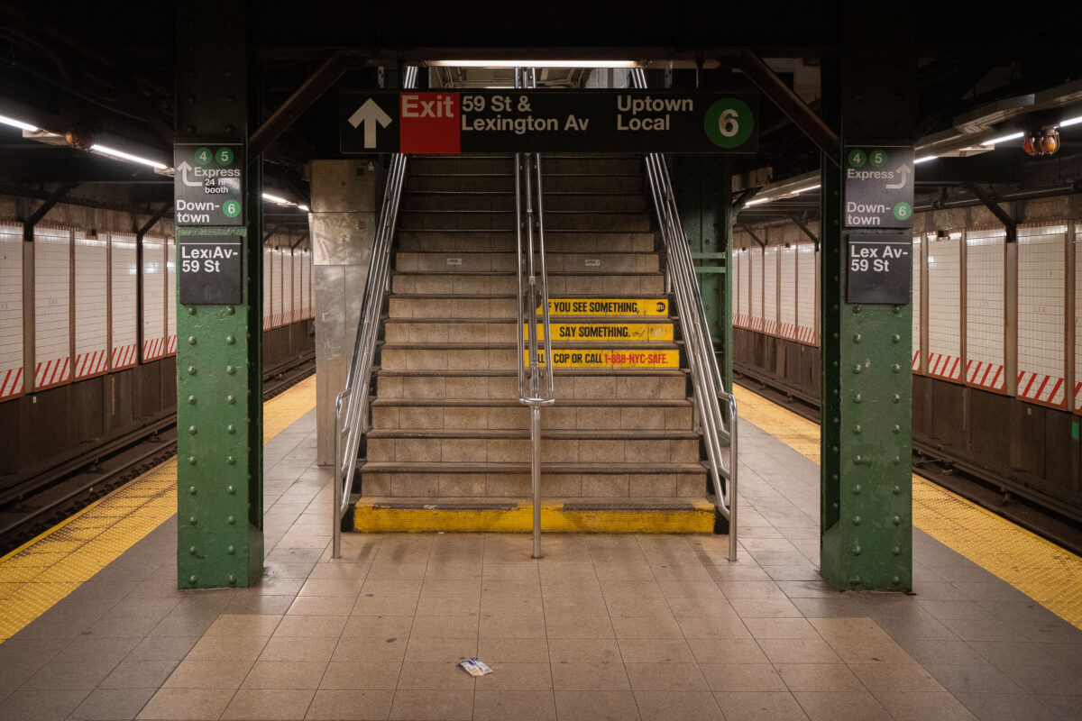
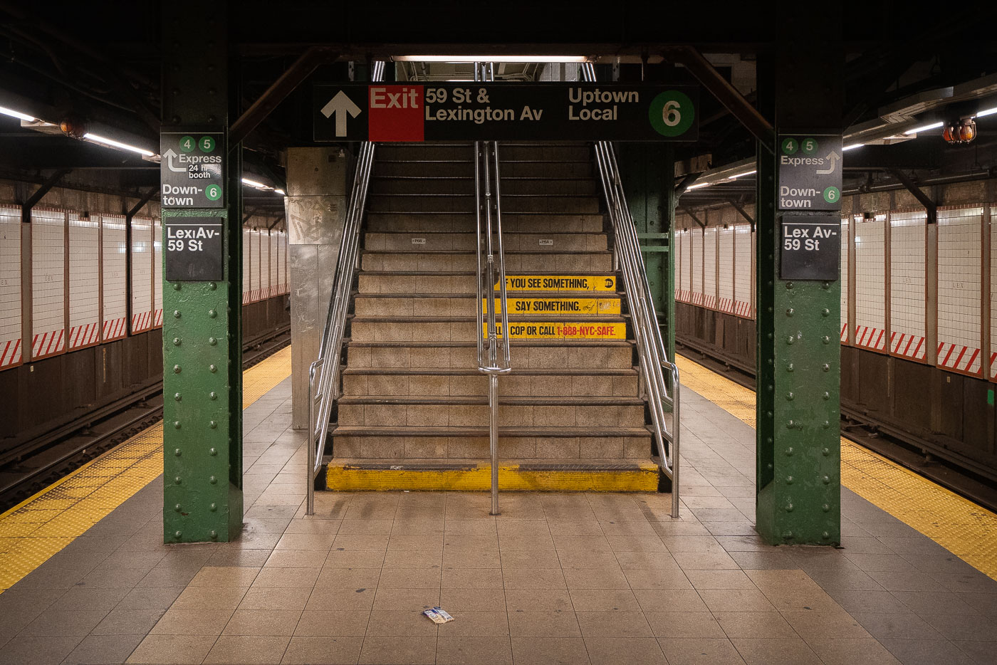
Stairway at Lexington Avenue-59th Street subway station with yellow safety signage and MTA directional signs.
Stairs lead up from the platform of the Lexington Avenue-59th Street subway station in New York City. Signage indicates "Exit 59 St & Lexington Av" and "Uptown Local 6," along with "4 5 Express" and "Downtown-6." The platform features yellow tactile paving and a sign reading "IF YOU SEE SOMETHING, SAY SOMETHING. COP OR CALL 1-888-NYC-SAFE."

Exit Stairs at the Lexington Ave-59 St Subway Station

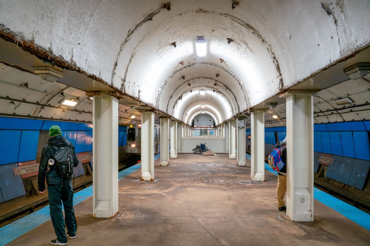
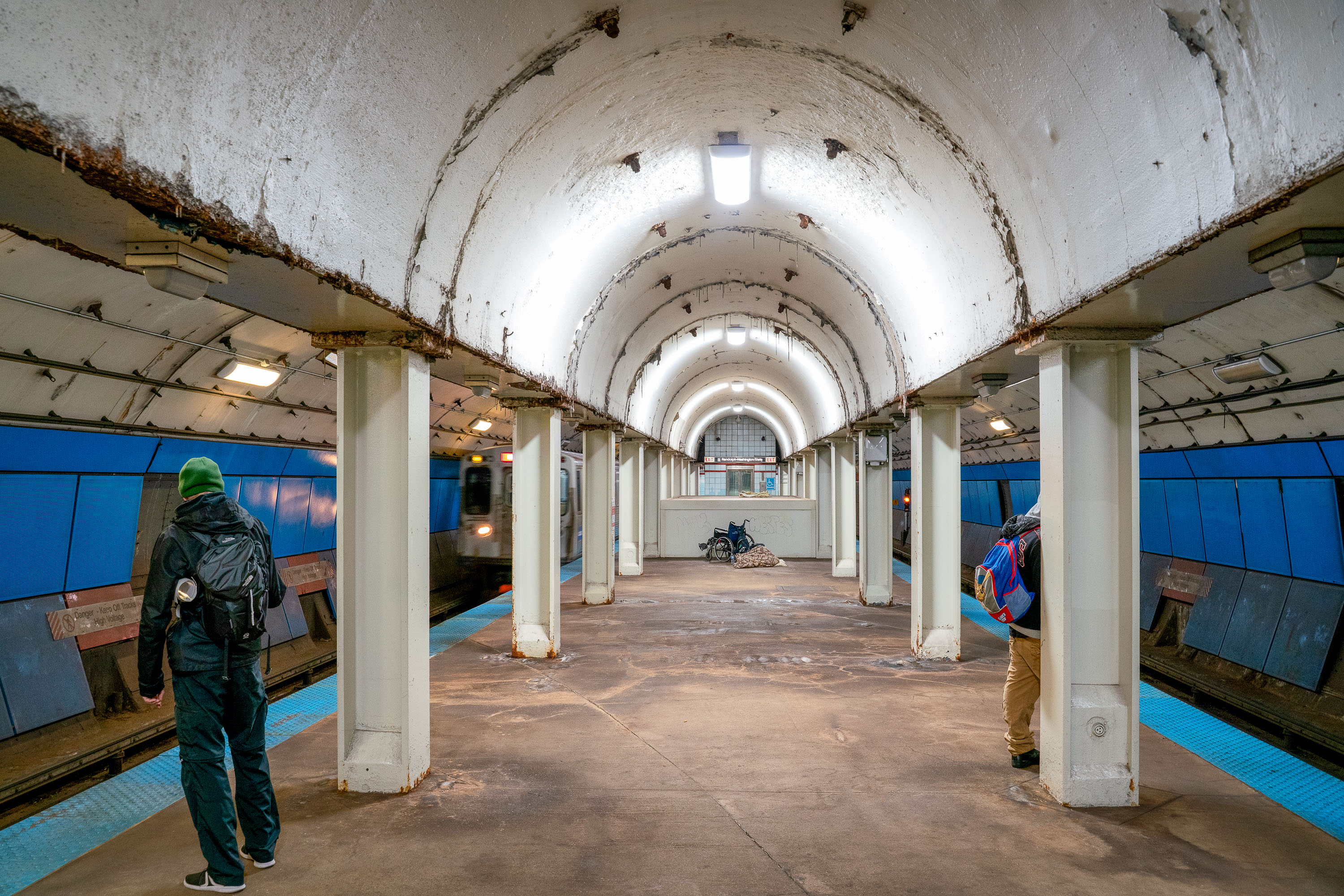
Commuters walk the vaulted platform at State/Lake CTA station in downtown Chicago.
This vaulted platform serves State/Lake station, a CTA Loop stop connecting the Green, Orange, Brown, and Pink lines in downtown Chicago. The station's barrel-arched ceiling and rows of concrete columns date to an earlier era of Chicago's elevated and subway transit construction, distinguishing it from more modern CTA stops. Located near Randolph and State Streets, the station provides access to the Loop's theater and retail district.

Waiting for a Train at State/Lake Station, Chicago

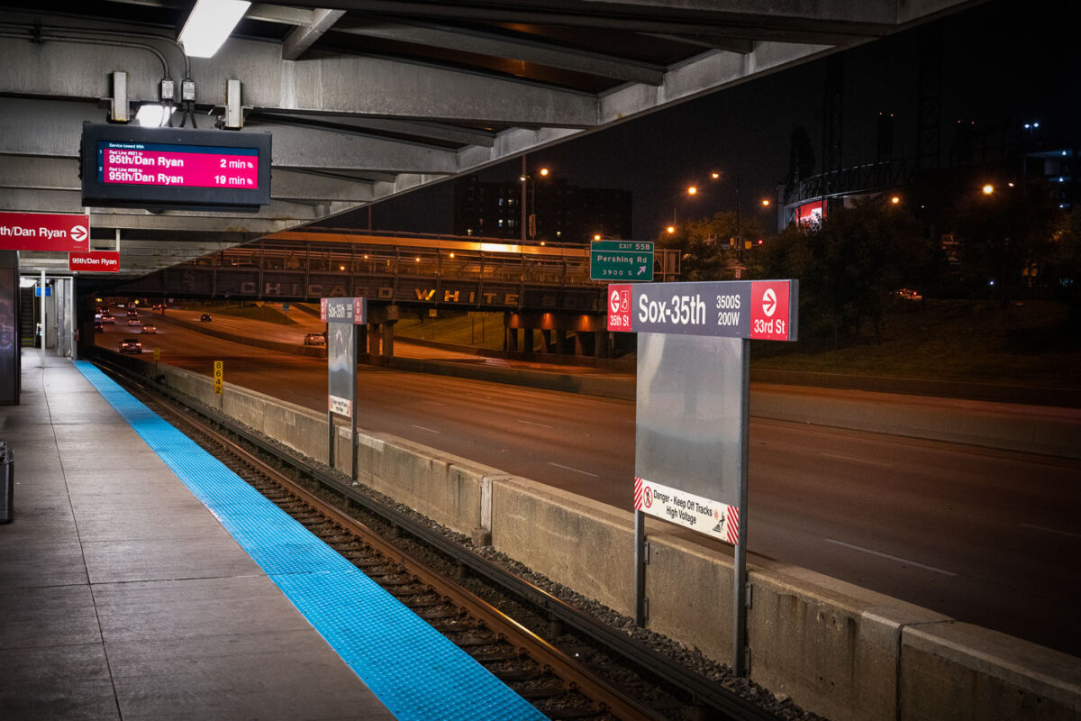
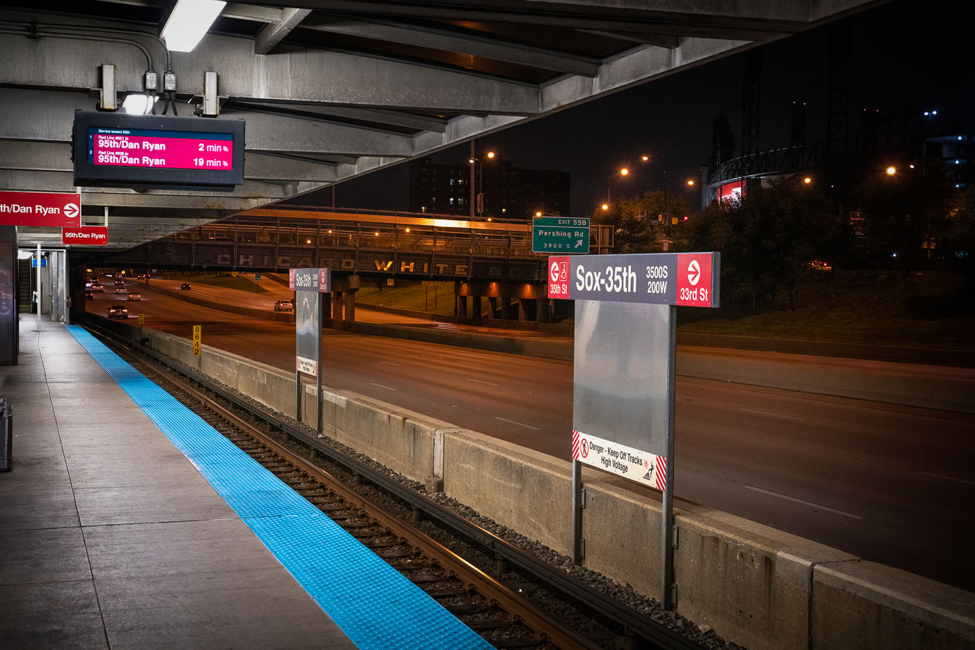
CTA Red Line train departing Sox-35th station above the Dan Ryan Expressway on Chicago's South Side.
The Chicago Transit Authority’s Sox–35th station serves the Red Line on the city’s South Side, positioned above the Dan Ryan Expressway near Pershing Road. The station provides direct access to Guaranteed Rate Field, home of the Chicago White Sox, whose name can be seen across the pedestrian bridge in the background. Opened in 1969 as part of the Dan Ryan branch of the Red Line, the elevated structure was designed for efficiency amid highway traffic, symbolizing mid-century Chicago’s integration of mass transit and freeway infrastructure.

Night View from Sox–35th Station Over the Dan Ryan Expressway

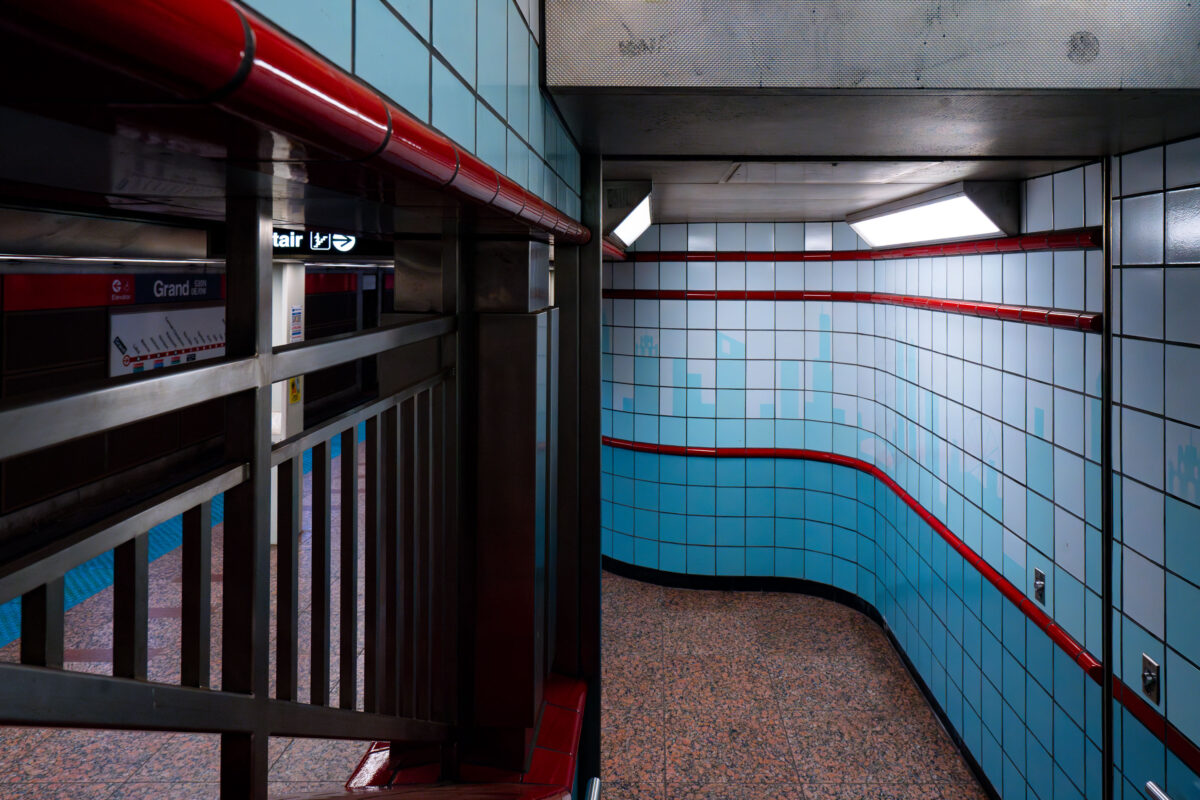
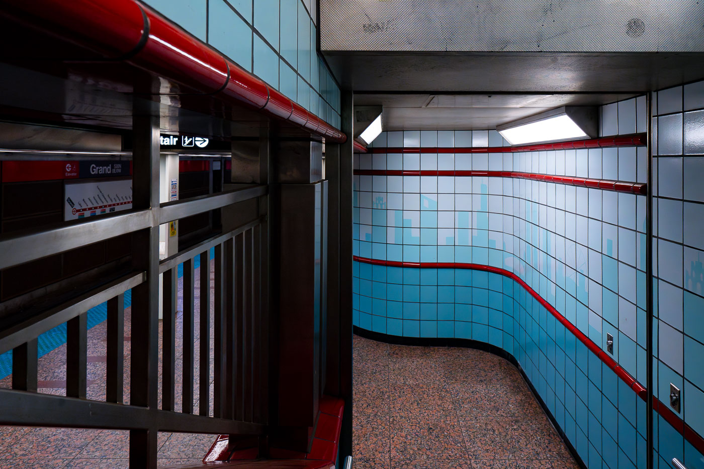
Empty CTA Grand station platform corridor with blue tile walls and red metal railings in Chicago.
The Grand station, part of the Chicago Transit Authority's Red Line, serves as a key transit hub in the city's downtown area. Opened in 1943 as part of the State Street Subway, it was designed to alleviate congestion and connect the north and south sides of Chicago. The station's interior features a distinctive mid-20th-century aesthetic, characterized by its tiled walls with blue and red accents and polished granite flooring.

Curved Tile Passageway at Grand Station, Chicago

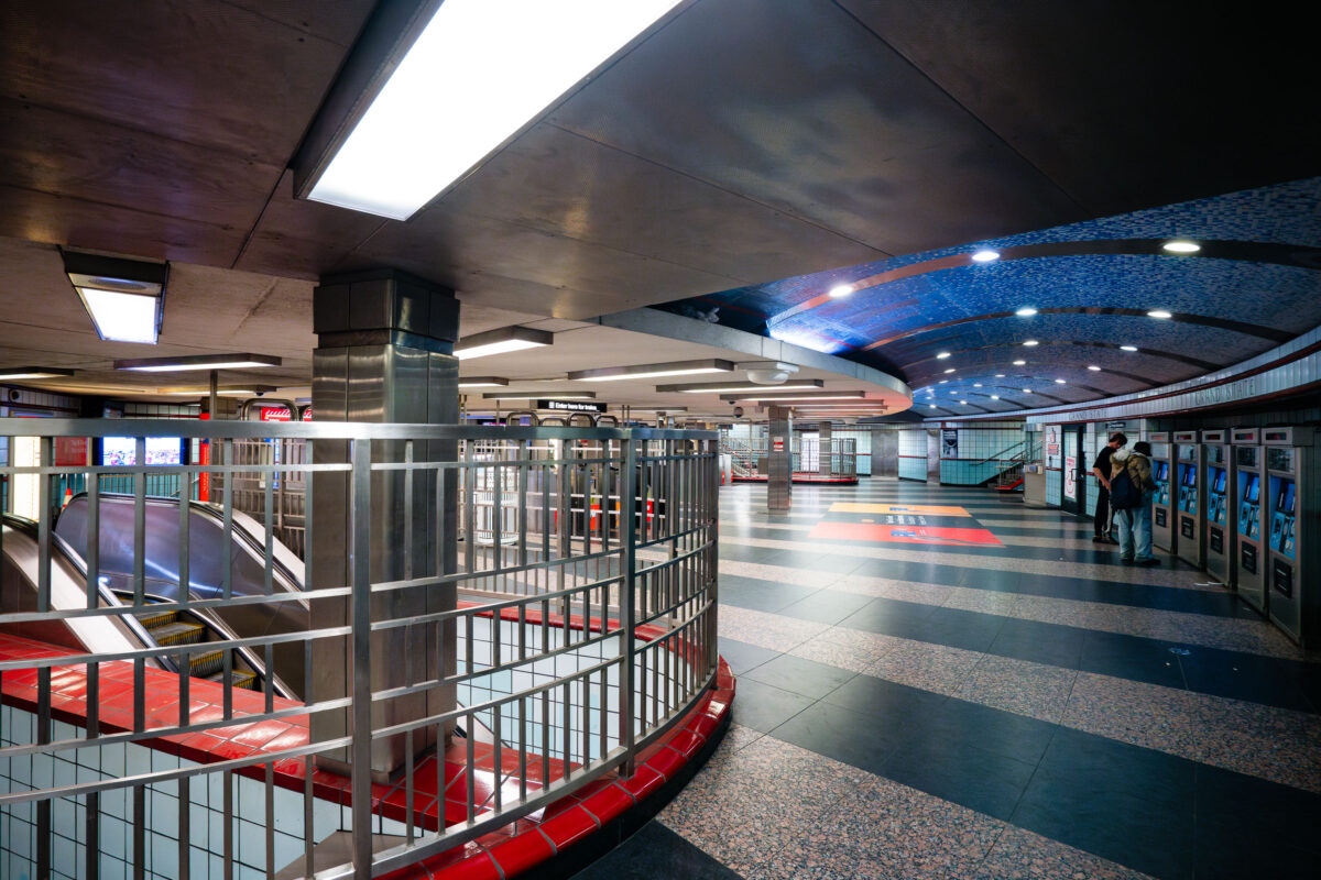
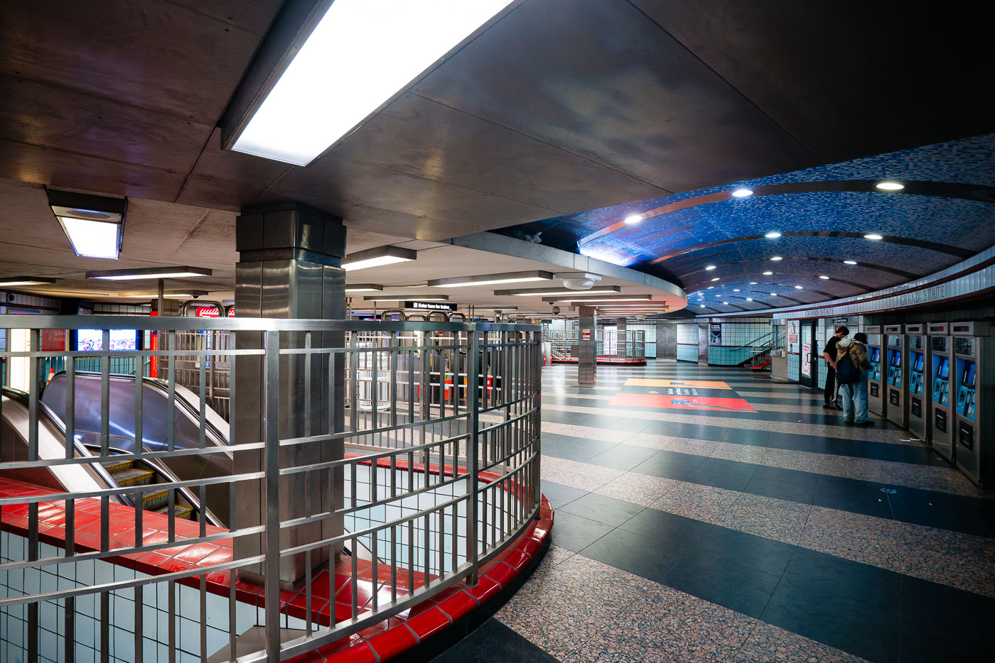
Grand/State CTA Station platform in Chicago with blue mosaic ceiling and red railings.
The interior of the Grand/State CTA Station in Chicago, a key transfer point on the city's rapid transit system. Opened in 1951, the station serves both the Red and Purple Lines, facilitating transit for thousands of commuters daily. The station's design features a distinctive vaulted ceiling adorned with blue mosaic tiles, a common aesthetic in mid-20th century public works projects. Passengers are seen here utilizing ticket vending machines, a modern convenience within this enduring piece of Chicago's transportation history.

Fare Machines and Escalators at Grand/State Station, Chicago

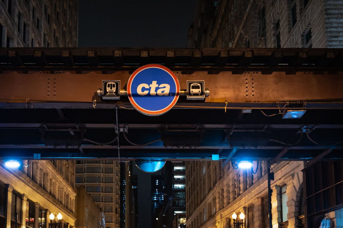
CTA transit sign illuminated on elevated steel structure above Chicago Loop street at night.
A CTA sign beneath elevated "L" tracks marks transit service in the Chicago Loop. The elevated rail structure carries multiple Chicago Transit Authority lines through the central business district. Sections of Chicago's elevated rapid transit network date to the 1890s, with ongoing maintenance and upgrades supporting daily service.

CTA Sign on the Loop’s Elevated Tracks at Night

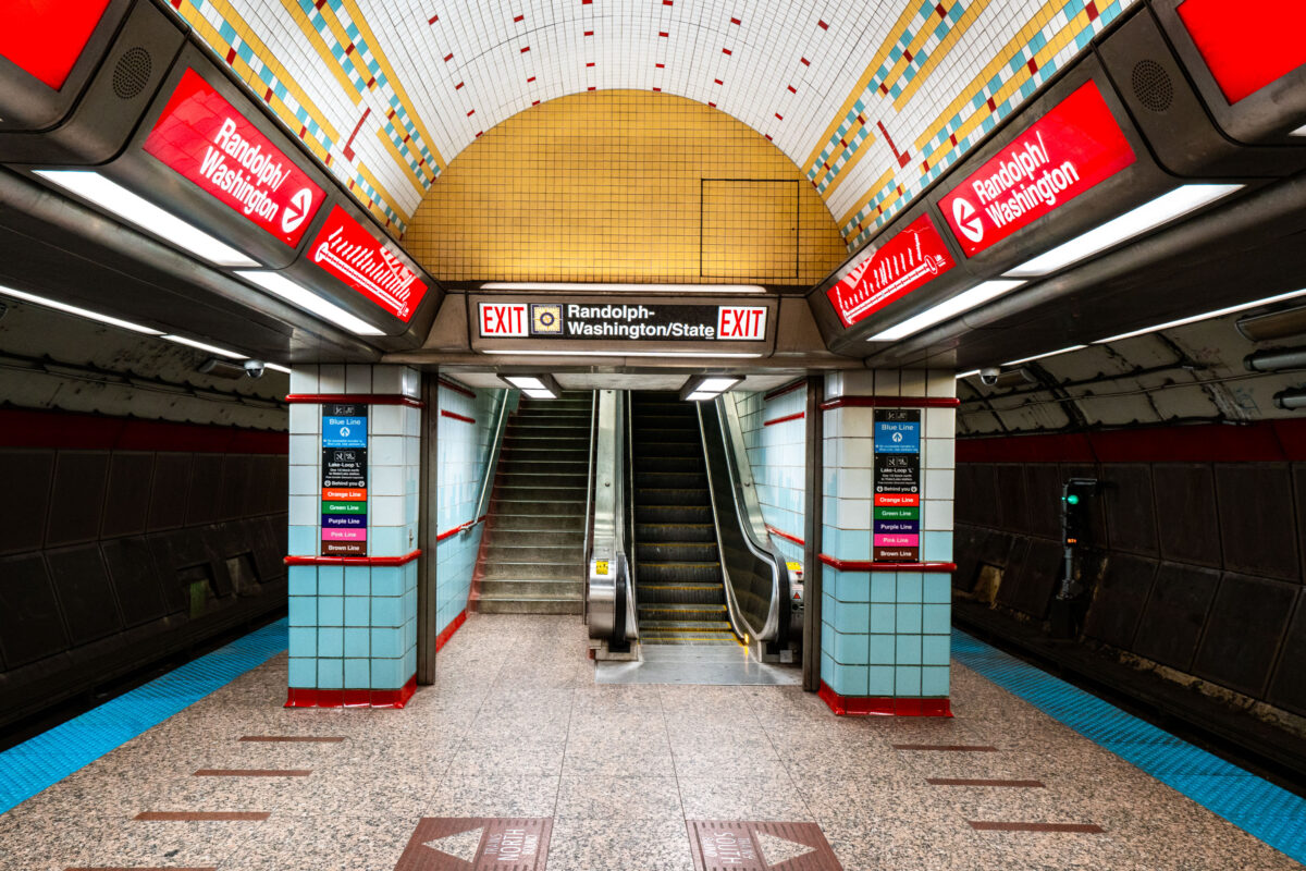
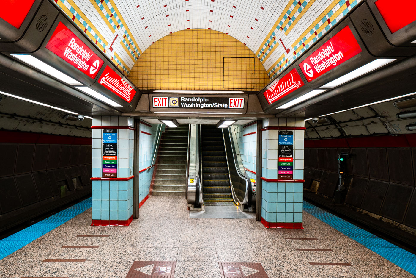
Randolph-Washington/State station platform in Chicago's CTA subway with yellow dome ceiling and red signage.
Randolph-Washington/State exit area in the CTA State Street subway in Chicago’s Loop. The subway opened in 1943 and carries Red Line trains beneath State Street through downtown. Station wayfinding directs riders to Randolph and Washington streets and to transfers within the downtown CTA network.

Exit Stairway to Randolph-Washington/State in Chicago’s Subway

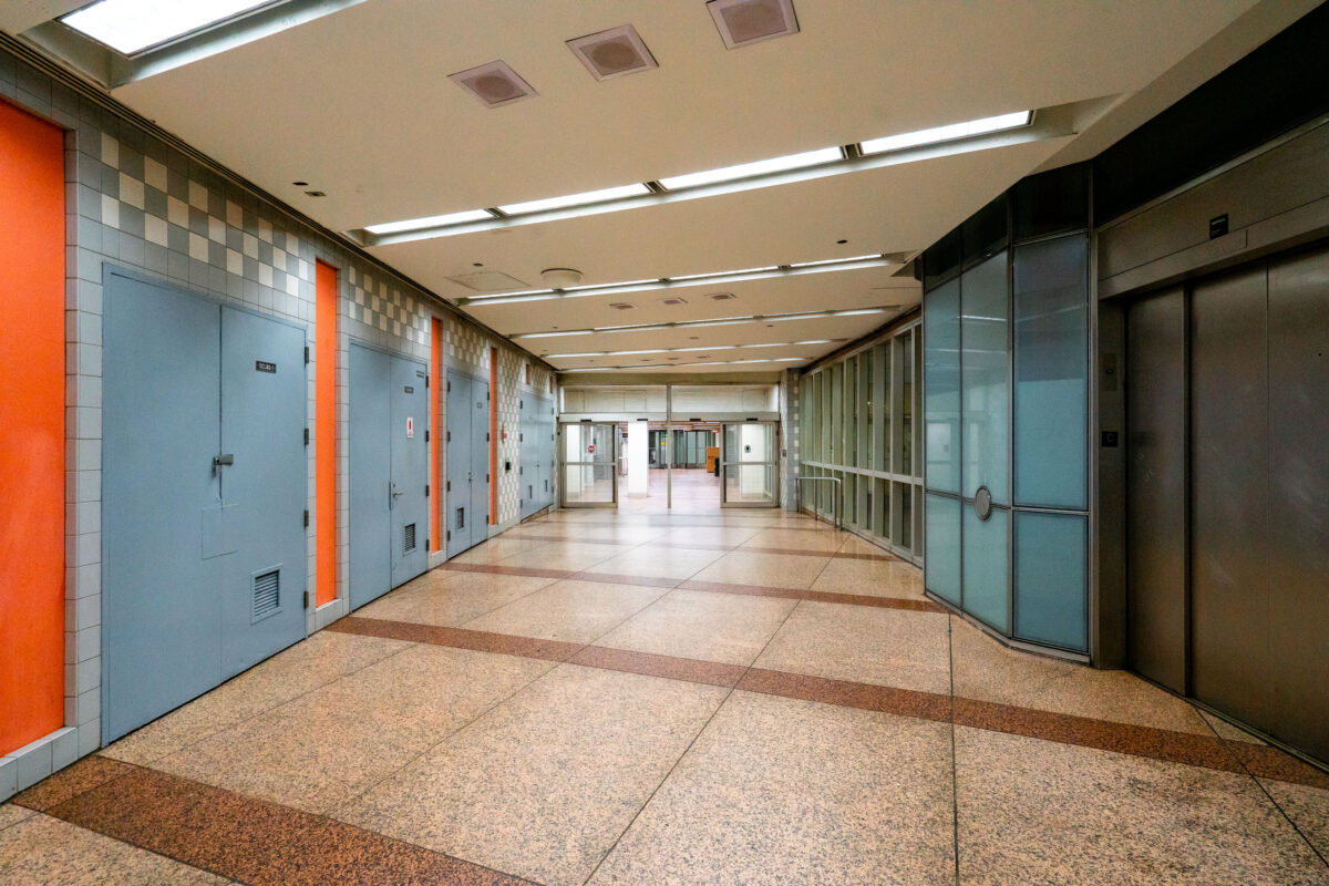
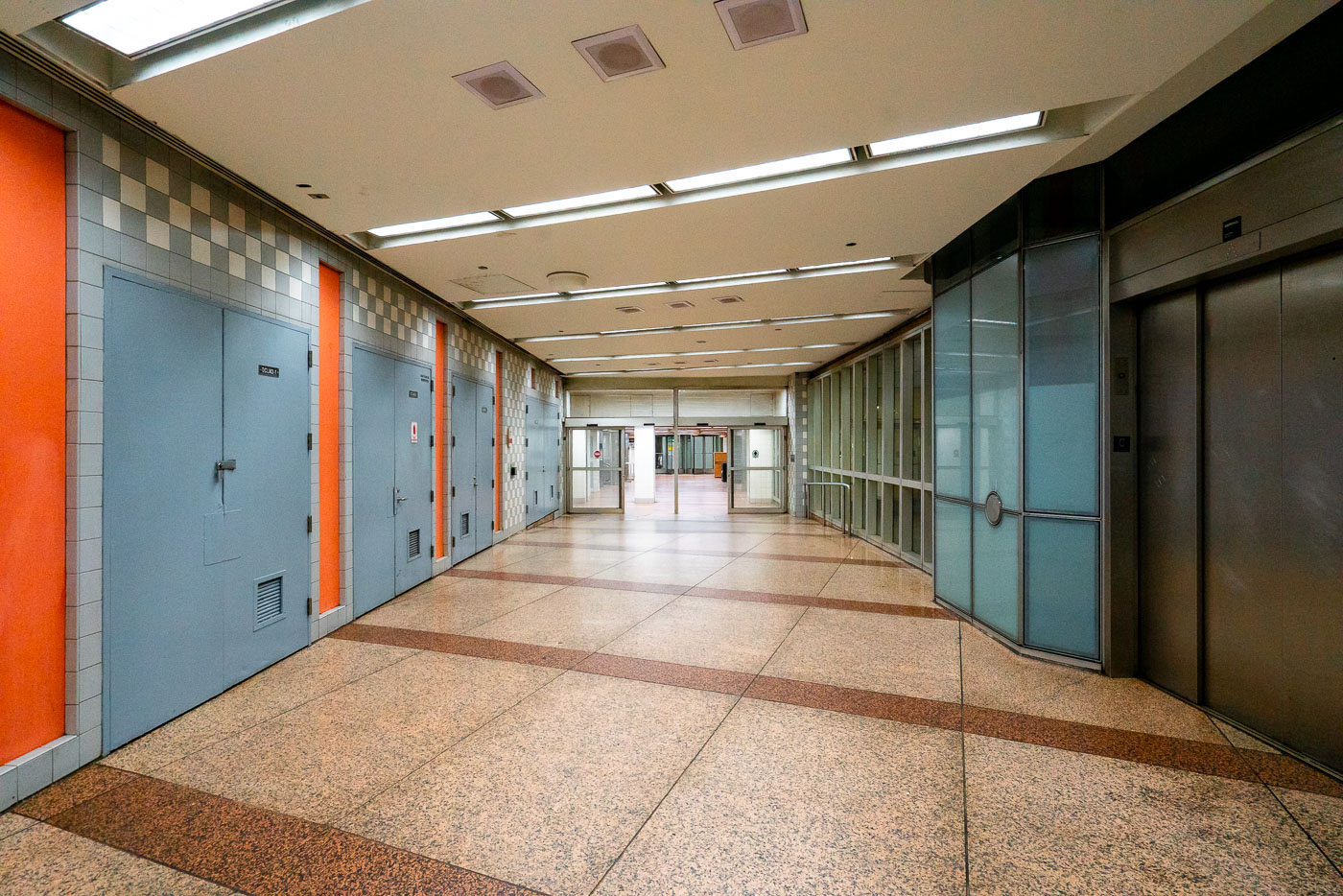
Empty Chicago Pedway corridor with blue doors, orange trim, and terrazzo flooring beneath the Loop.
An empty corridor of the Chicago Pedway connects the Randolph/Washington subway station to surrounding office buildings and shopping centers beneath the Loop. The Pedway system, developed beginning in the 1950s, extends for more than 40 city blocks, linking major transit lines with civic and commercial spaces. Its mid-century design—terrazzo floors, tiled walls, and fluorescent lighting—reflects the city’s practical approach to all-weather pedestrian infrastructure, a defining feature of downtown Chicago’s urban core.

Terrazzo Corridor in the Chicago Pedway

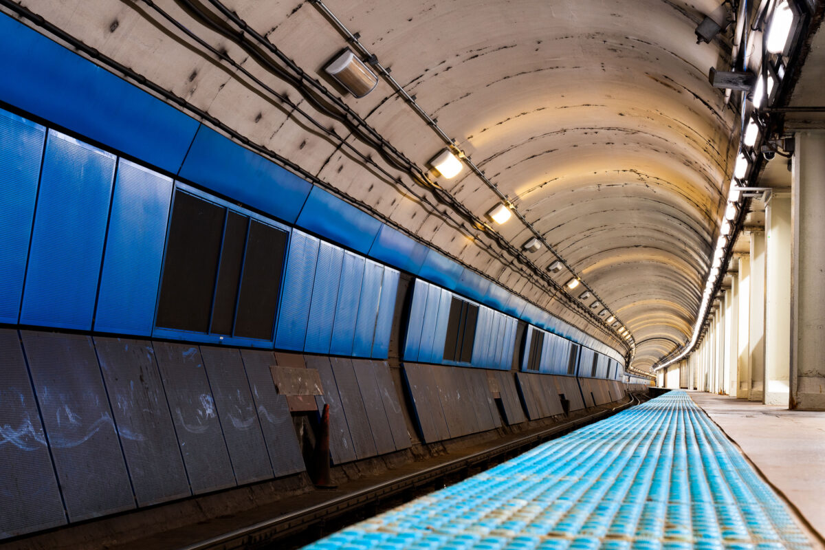
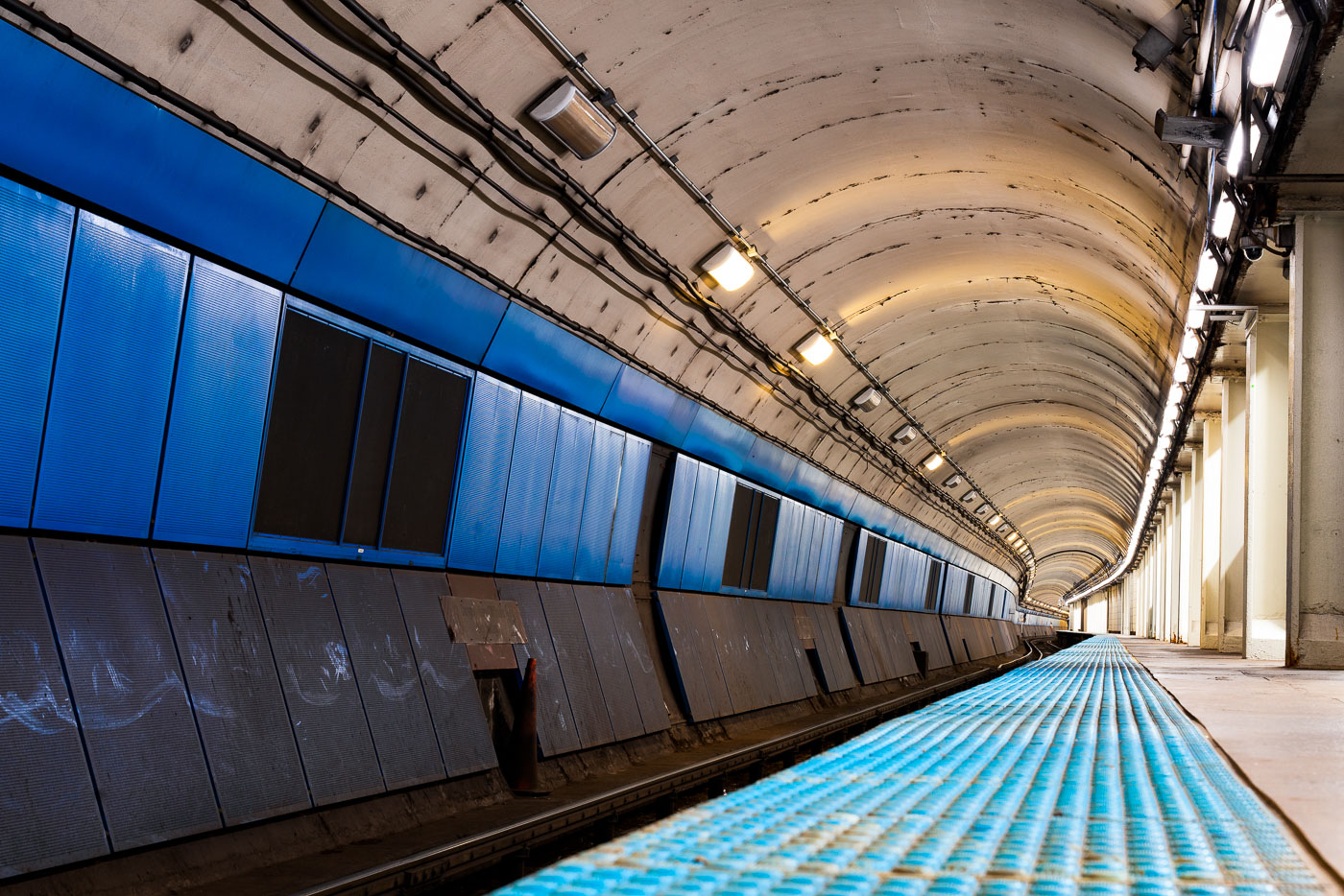
Empty CTA Blue Line subway platform with blue wall panels and curved concrete tunnel ceiling lit by overhead lights.
CTA Blue Line subway platform in Chicago is part of the Milwaukee-Dearborn Subway, the downtown tunnel used by Blue Line trains through the Loop. The subway opened in 1951 and carries trains between O'Hare International Airport, downtown Chicago, and the Forest Park branch. Its arched tunnel and side platform are typical of Chicago's mid-20th-century rapid transit construction.

Milwaukee-Dearborn Subway Tunnel on the CTA Blue Line

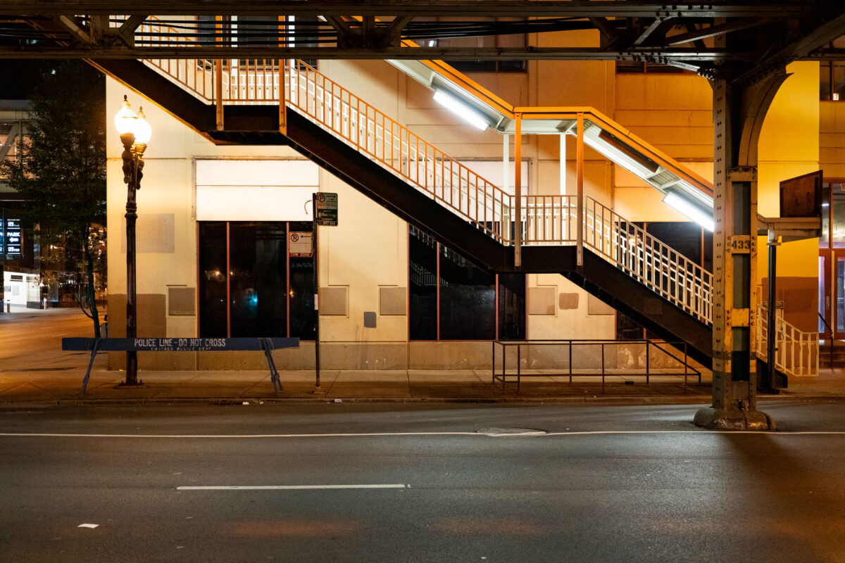
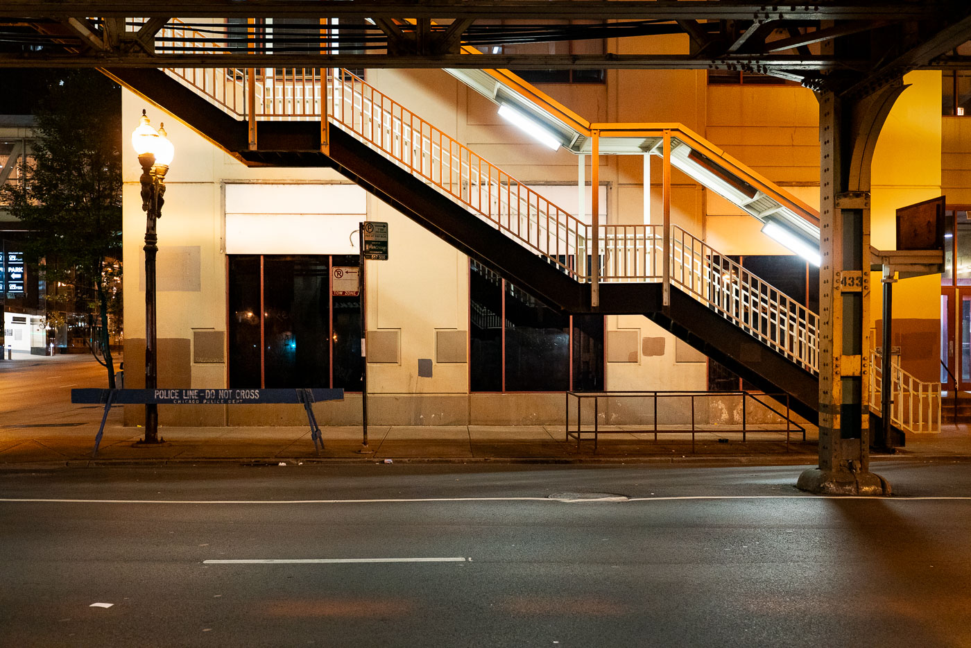
Illuminated stairway and yellow structure beneath Chicago's elevated train tracks at night with police barricade below.
An illuminated stairway leads up to one of Chicago’s iconic “L” (elevated) train platforms in the Loop at night. The steel structure, marked with the system’s signature riveted beams, is part of the century-old elevated rail network that defines the city’s core transit identity. Below, a “Police Line – Do Not Cross” barricade and the quiet, empty street evoke a rare moment of stillness in an area usually dominated by the hum of trains and late-night traffic.

Police Barricade Beneath the Loop’s Elevated Stairway

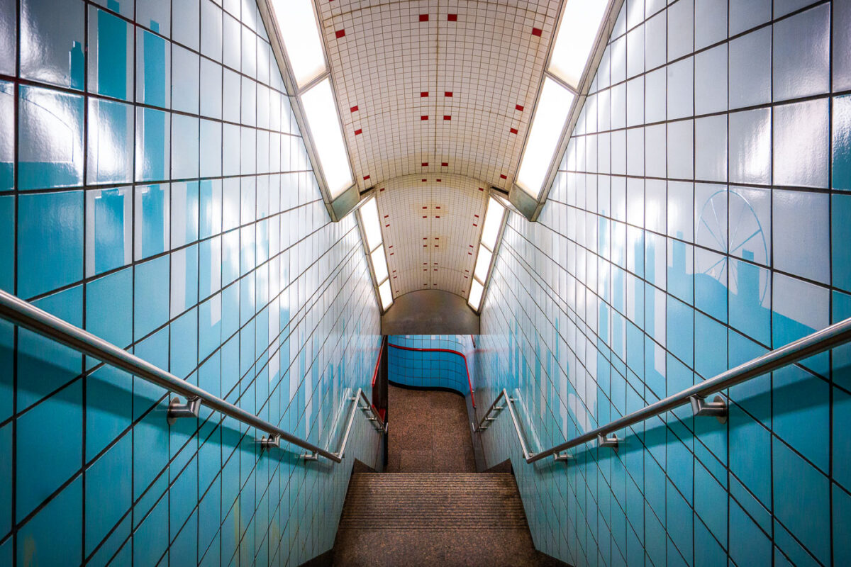
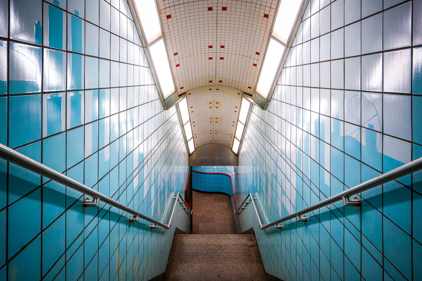
Symmetrical stairway at Chicago's Grand Station Red Line with blue tiles and metal railings descending underground.
The Grand Station Red Line stairway in Chicago, a key access point for the city's rapid transit system, showcases a design characteristic of late 20th-century CTA renovations. The corridor features blue ceramic tiles and stainless-steel railings, reflecting a focus on durability and functionality. Subtle skyline motifs integrated into the tilework serve as a nod to Chicago's architectural identity. This subterranean passage facilitates commuter flow between the North Side, Loop, and South Side neighborhoods, connecting them via the Red Line.

Skyline Tilework Stairway at CTA’s Grand Red Line Station

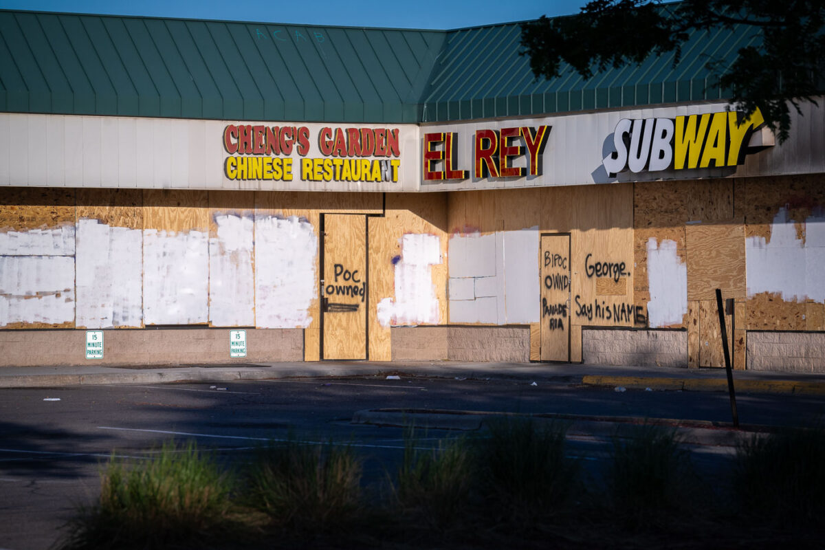
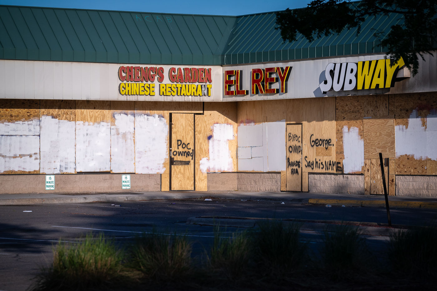
Boarded storefronts at Cheng's Garden, El Rey, and Subway in South Minneapolis after George Floyd protests.
Boarded storefronts at Cheng's Garden Chinese Restaurant, El Rey, and Subway in a South Minneapolis strip mall are shown on June 11, 2020. Sheets of plywood cover the windows and doors, with hand-painted messages including "POC Owned," "BIPOC Owned," and "George. Say His Name." The businesses were among many in Minneapolis that were boarded up in the weeks after the May 25, 2020 killing of George Floyd, as commercial corridors across the city prepared for damage during protests and unrest.

Cheng’s Garden, El Rey, Subway Boards, George Floyd Uprising

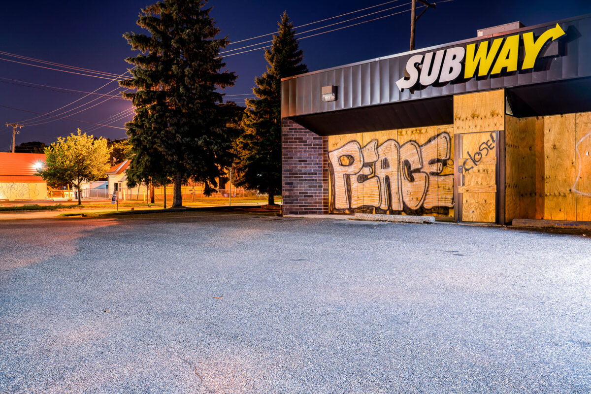
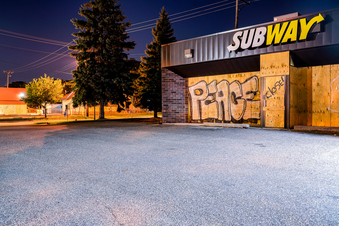
PEACE written on boards covering a Subway restaurant
A Subway restaurant on East Lake Street in South Minneapolis displays "PEACE" graffiti across its boarded windows and entrance. The plywood panels were installed following widespread protests that occurred in Minneapolis after the death of George Floyd on May 25, 2020.

PEACE on boarded windows of Subway, East Lake Street, Minneapolis

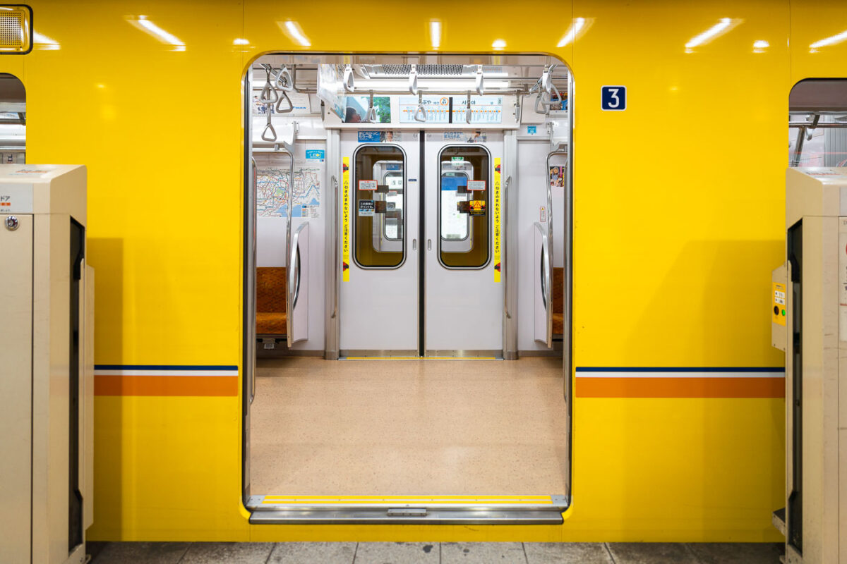
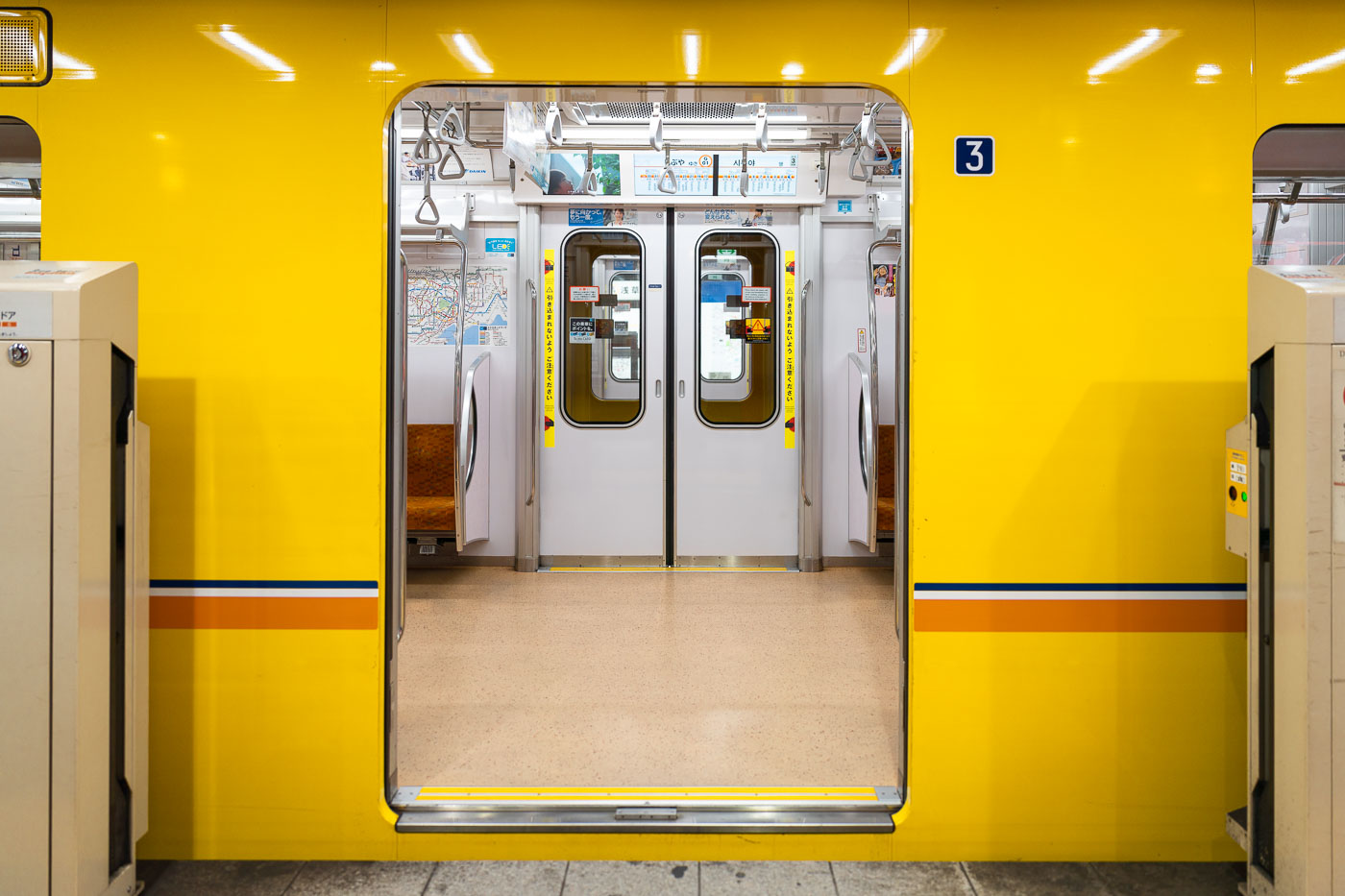
Tokyo Metro Marunouchi Line Series 2000 train car interior with bright yellow exterior and open doors at station platform.
The Series 2000 is the newest rolling stock on Tokyo Metro's Marunouchi Line, introduced in 2019 to replace the aging Series 02 fleet. Tokyo Metro designed the trains with a red-and-white livery inspired by the line's original 1954 cars, though station platform doors and car exteriors elsewhere on the system are often finished in the line's signature yellow. Each ten-car train runs fully automated under ATO, with drivers on board mainly to operate doors and handle emergencies. The Marunouchi Line connects Ikebukuro and Ogikubo via central Tokyo hubs including Tokyo Station and Shinjuku, carrying more than 700,000 passengers daily. Numbered door markers, like the one shown, help riders line up in the correct spot for boarding on crowded platforms.

Tokyo Metro Marunouchi Line Series 2000 Doorway

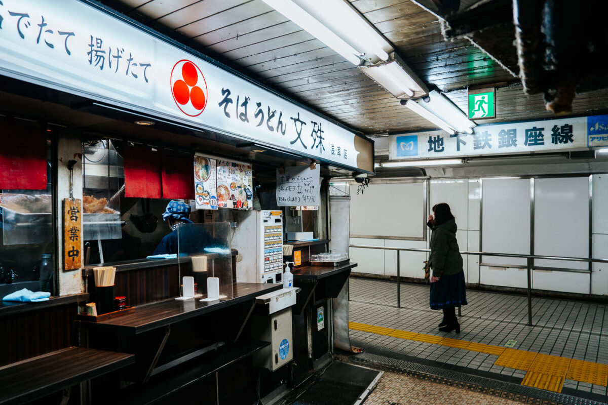
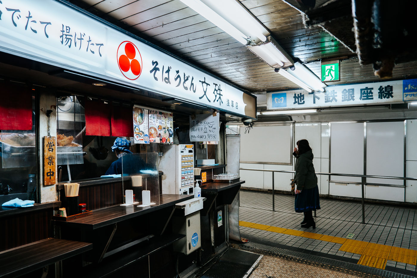
Soba vendor serves customers at a counter in Asakusa Underground Street, a Tokyo shopping arcade beneath the Ginza Line station.
Asakusa Underground Street runs beneath Kaminarimon-dori near Asakusa Station, connecting to the Tokyo Metro Ginza Line. Built in 1955 atop a former air-raid shelter, it's often cited as the oldest surviving underground shopping arcade in Japan. The narrow passage holds a mix of small food stalls and shops, including this counter serving soba and udon, alongside tailors, barbers, and secondhand clothing dealers that have operated there for decades. The Ginza Line, which opened in 1927 as Japan's first subway line, still runs directly past the arcade's storefronts.

Soba and Udon Counter, Asakusa Underground Street, Tokyo

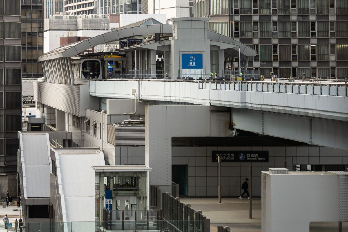
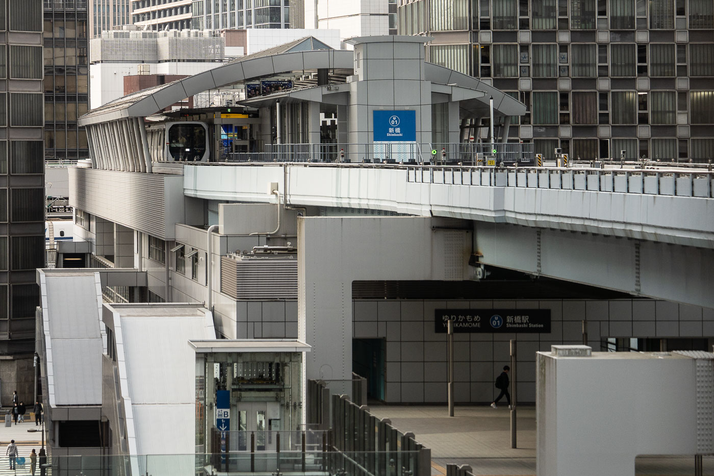
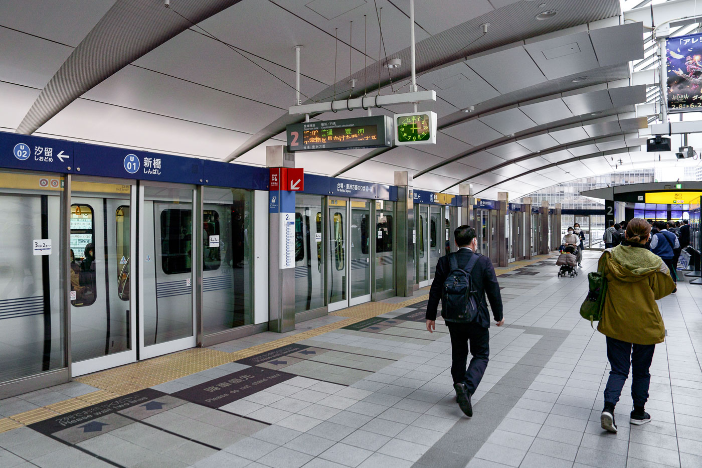
Yurikamome automated train terminal at Shimbashi Station in Tokyo, an elevated guideway station with white modernist architecture.
Shimbashi Station's Yurikamome terminal marks the starting point of the automated line that opened in 1995 to link central Tokyo with the reclaimed land of Odaiba. The elevated guideway runs on rubber tires rather than steel rails, a design chosen to navigate the tight curves and steep grades of the waterfront route. Trains operate without drivers, guided by automatic train control from a operations center rather than onboard staff. The line covers about 14.7 kilometers between Shimbashi and Toyosu, stopping at 16 stations along the way, including Odaiba Kaihinkoen and the artificial island of Daiba.

Elevated Guideway at Shimbashi Station’s Yurikamome Terminal
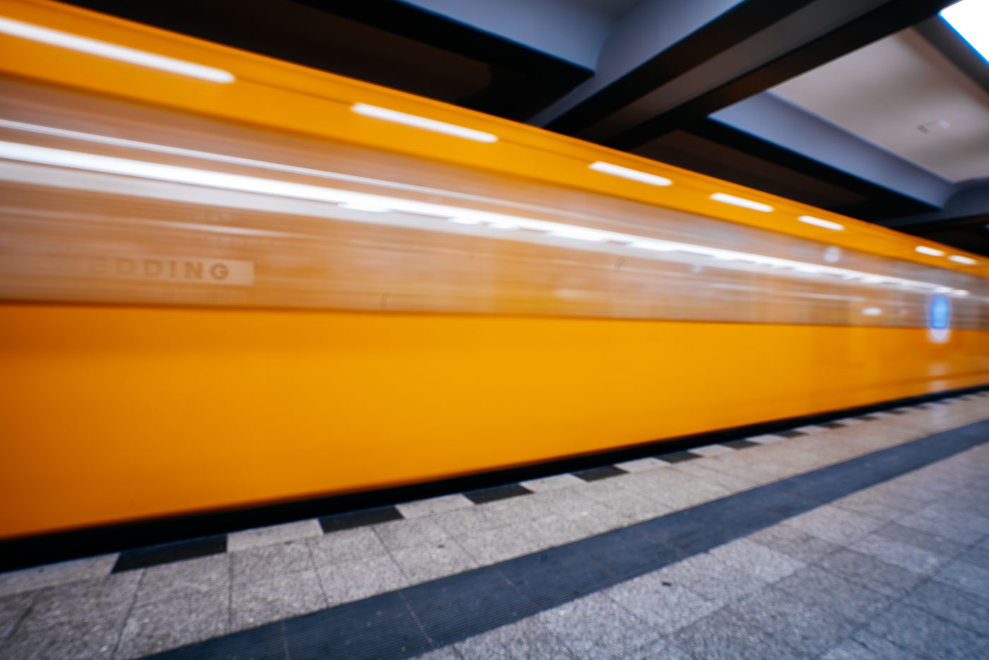
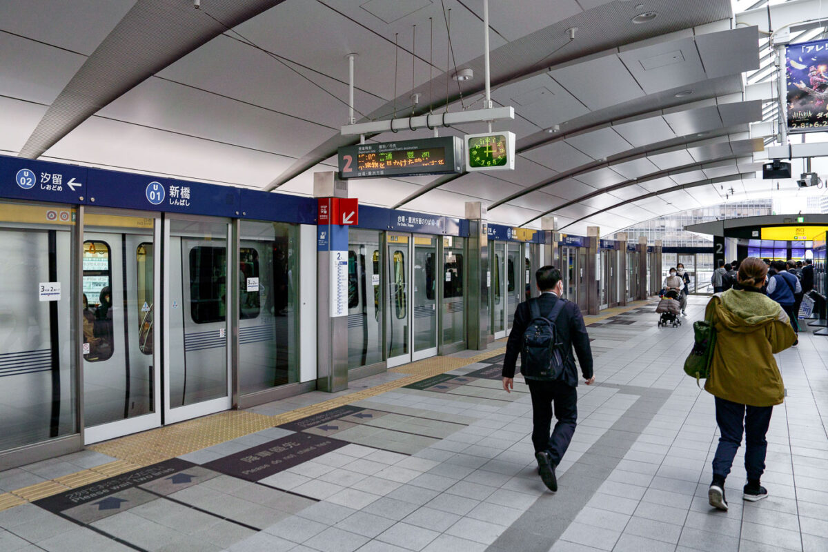
Passengers walk on the platform at Shiodome Station, a driverless Yurikamome automated guideway transit stop in Tokyo with platform screen doors.
Shiodome Station serves as an elevated stop on the Yurikamome, the automated guideway transit line that links Shimbashi to the waterfront district of Odaiba. Opened in 1995 and fully driverless, the Yurikamome runs on rubber tires along an elevated guideway rather than steel rails, allowing tight curves as it winds between the high-rises of the Shiodome redevelopment area. Platform screen doors run the length of the station, a standard feature on the line since its automated trains have no onboard conductor to monitor boarding. The station takes its name from the Shiodome district, once the site of Japan's first railway freight terminal before its transformation into a business and media hub.
Commuters Walk the Platform at Shiodome Station

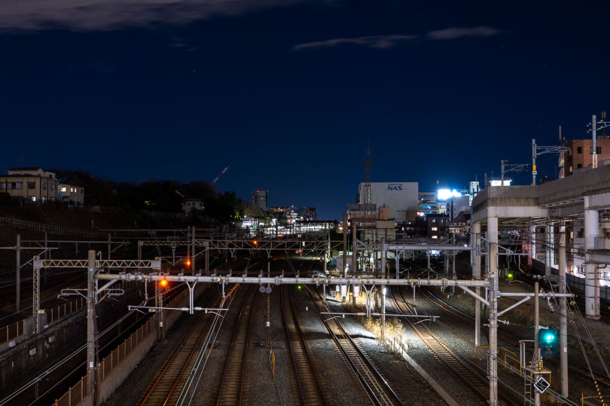
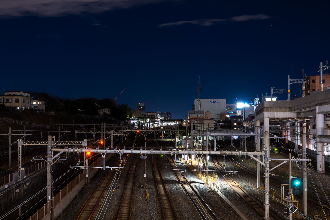
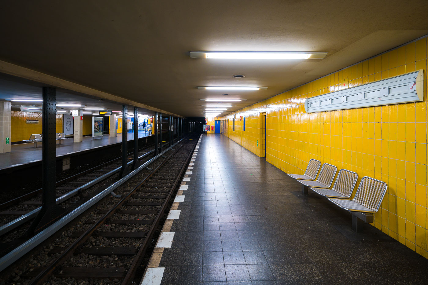
Overhead signal gantries span multiple railway tracks at Nippori Station in Tokyo during twilight hours.
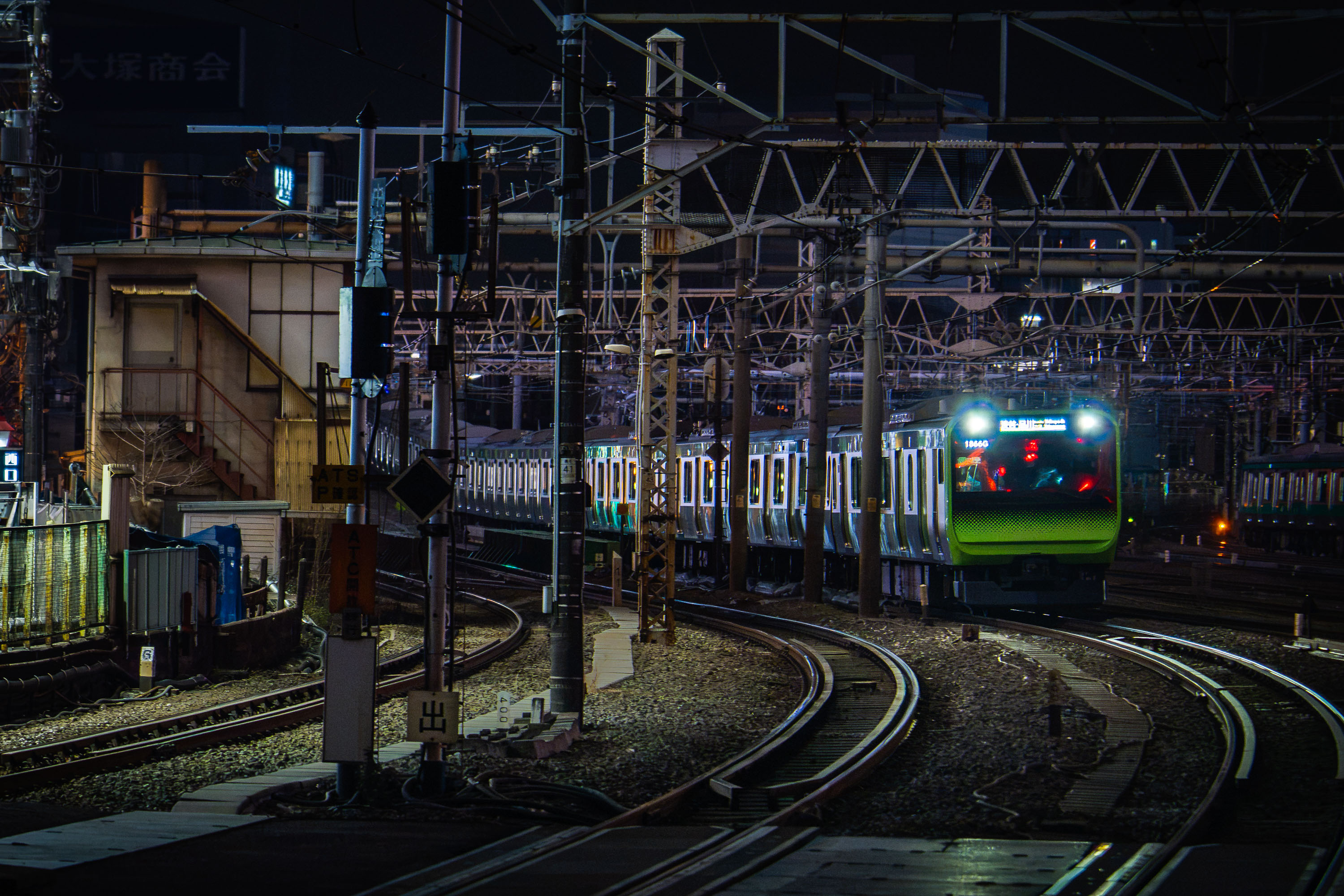
Nippori Station sits in Tokyo's Arakawa and Taito wards, where the Yamanote, Keihin-Tohoku, and Joban lines share track with the Keisei Main Line toward Narita Airport. JR East and Keisei Electric Railway both operate platforms here, making it one of the few stations in the city where a limousine-style airport train and a local loop line depart from adjacent tracks. The station opened in 1905 as a stop on the Yamanote Line's predecessor route and later expanded as Keisei added its own terminal nearby in the 1930s. Overhead gantries carry the signal and catenary wiring that keep the multiple lines separated as they fan out from the platforms toward the rail yards to the north.
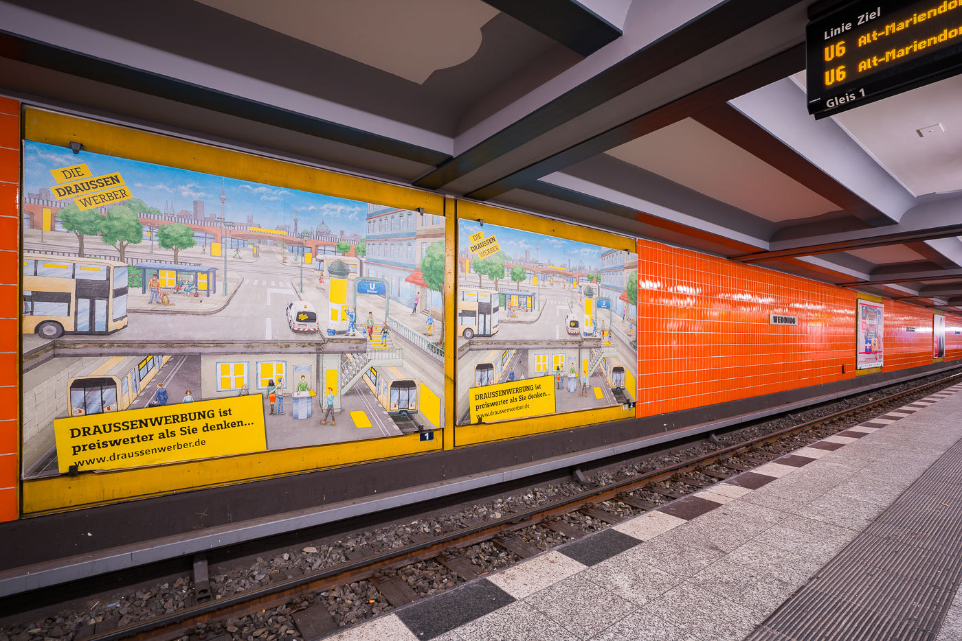
Night View of Rail Yard Tracks Near Nippori Station, Tokyo

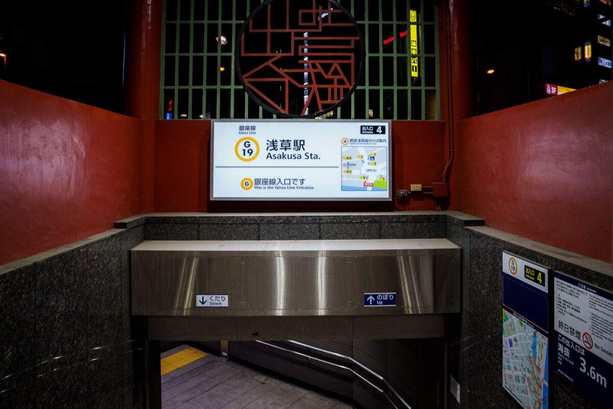
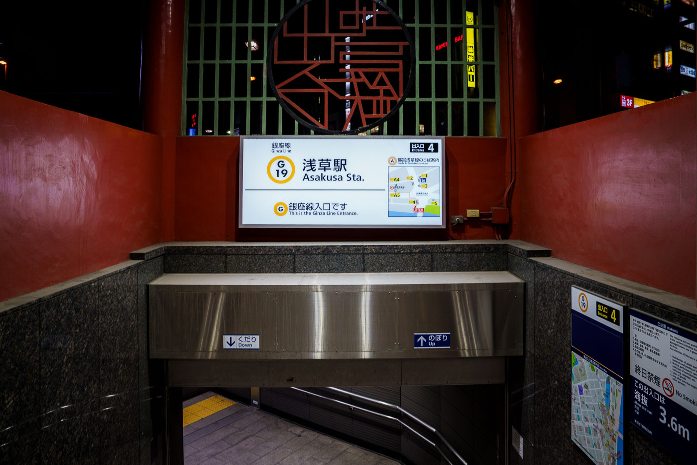
Asakusa Station Ginza Line Entrance 4 in Tokyo, marked with station signage and directional indicators.
Asakusa Station serves as the northern terminus of the Tokyo Metro Ginza Line, Japan's oldest subway line, which opened its first stretch between Ueno and Asakusa in 1927. The station carries the designation G-19 and sits in Taito City, within walking distance of Sensō-ji Temple and the Nakamise shopping street. Entrance 4 leads down to the platform level and is marked as the Ginza Line entrance, distinguishing it from the separate Toei Asakusa Line and Tobu Skytree Line stations that share the Asakusa name nearby. The Ginza Line itself runs the length of central Tokyo, linking Asakusa to Shibuya via Ueno, Ginza, and Shimbashi.

Ginza Line Entrance 4 at Asakusa Station

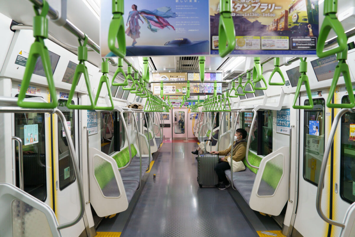
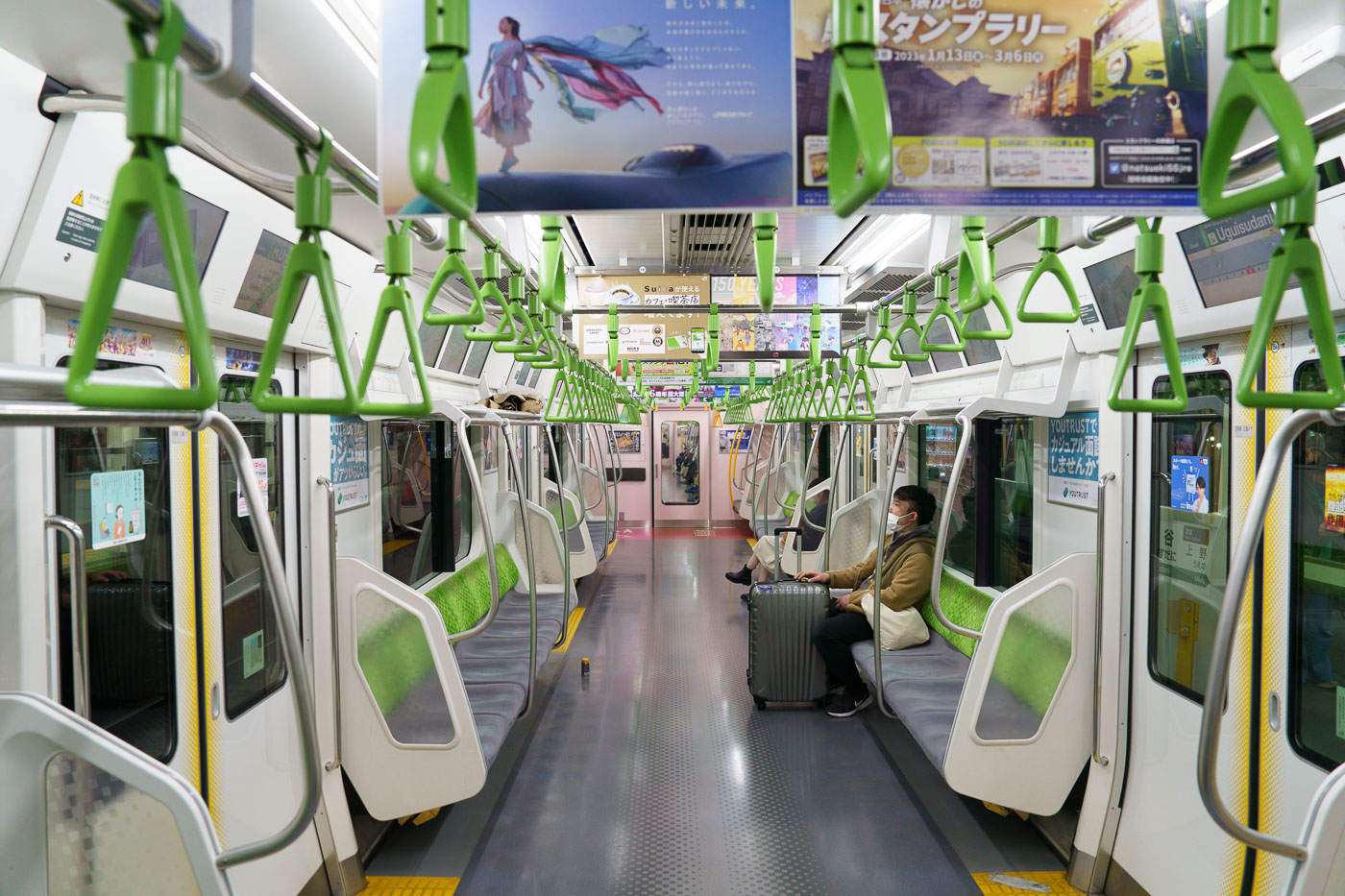
Interior of a JR East E235 series train on Tokyo's Yamanote Line, showing green handholds, white seats, and a passenger with luggage.
JR East's E235 series trains have run on the Yamanote Line since debuting in 2015, replacing the earlier E231-500 fleet on Tokyo's busiest loop. Each car carries LCD passenger information displays above the doors and green-accented straps and seat moquette matching the line's signature color. The Yamanote Line itself covers roughly 34.5 kilometers and links 30 stations, including Shinjuku, Shibuya, and Tokyo Station, completing a full loop in about an hour. JR East designed the E235 with a wider gangway between cars and additional space for luggage and wheelchair users, reflecting the line's mix of commuters and travelers passing through the capital's central terminals.

Lone Passenger with Suitcase Aboard a Yamanote Line Train

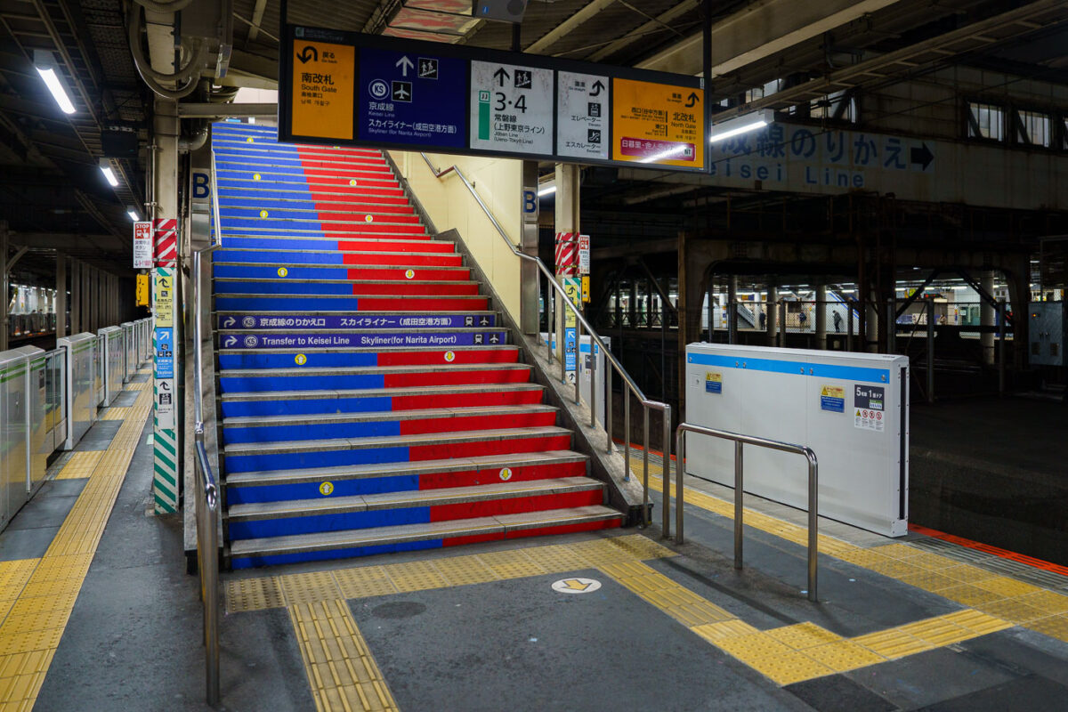
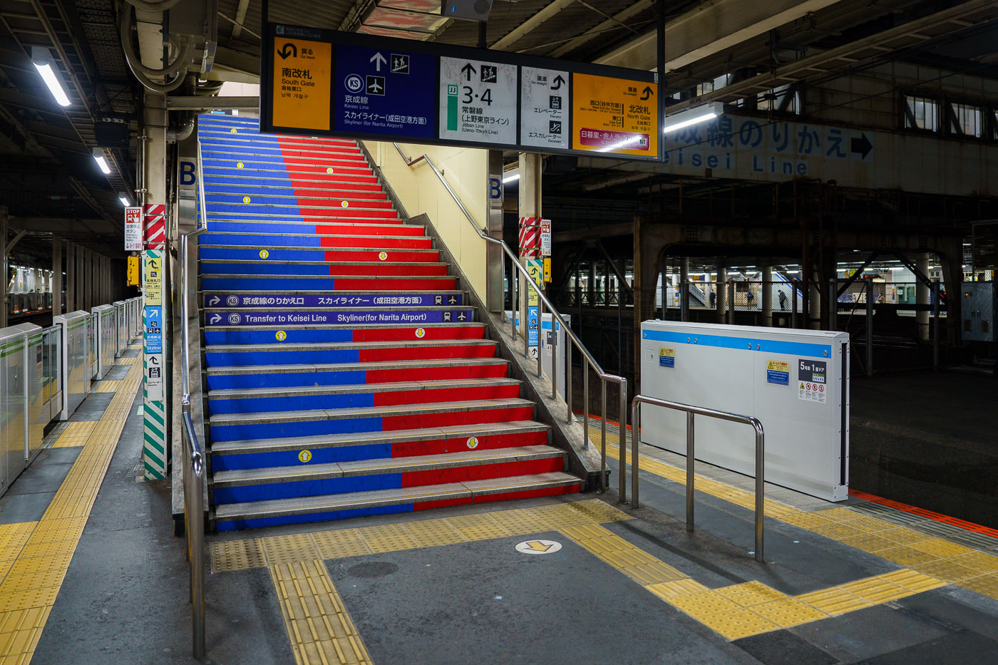
Blue and red striped stairs at Keisei Line transfer point in Nippori Station, Tokyo.
Nippori Station sits on the boundary of Tokyo's Arakawa and Taito wards, where JR East's Yamanote, Keihin-Tohoku, and Joban lines meet the Keisei Electric Railway's Main Line. The station opened in 1905 as a stop on what was then the Nippon Railway, decades before Keisei arrived to build its own platforms alongside it. These stairs mark the transfer point to the Keisei side, where riders catch the Skyliner, a limited express that covers the roughly 43 kilometers to Narita International Airport in about 41 minutes. Nippori is one of only two stations, along with Keisei Ueno, where the Skyliner picks up passengers before its nonstop run to the airport. A separate elevated line, the Nippori-Toneri Liner, opened in 2008 and adds a third rail connection from the same complex, making Nippori one of the busier interchange points on Tokyo's northern rail network.

Blue-and-Red Stairs to the Skyliner at Nippori Station

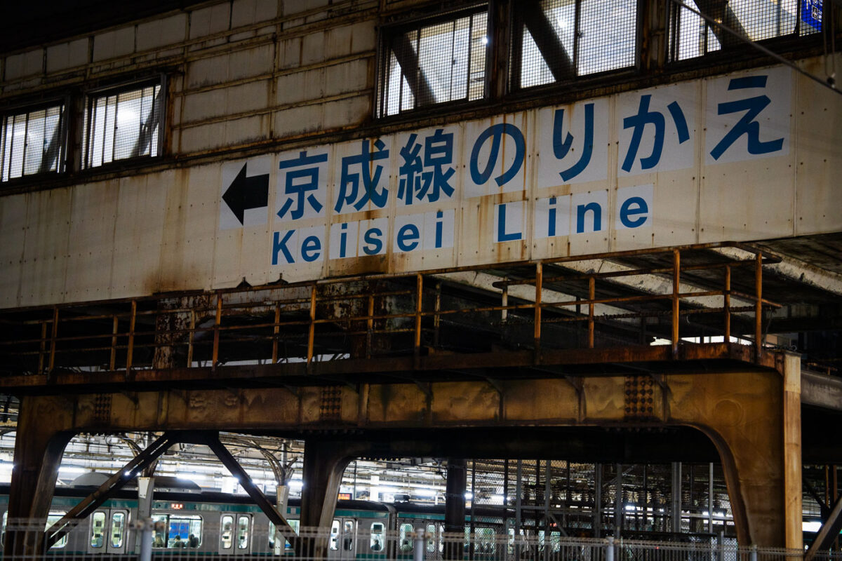
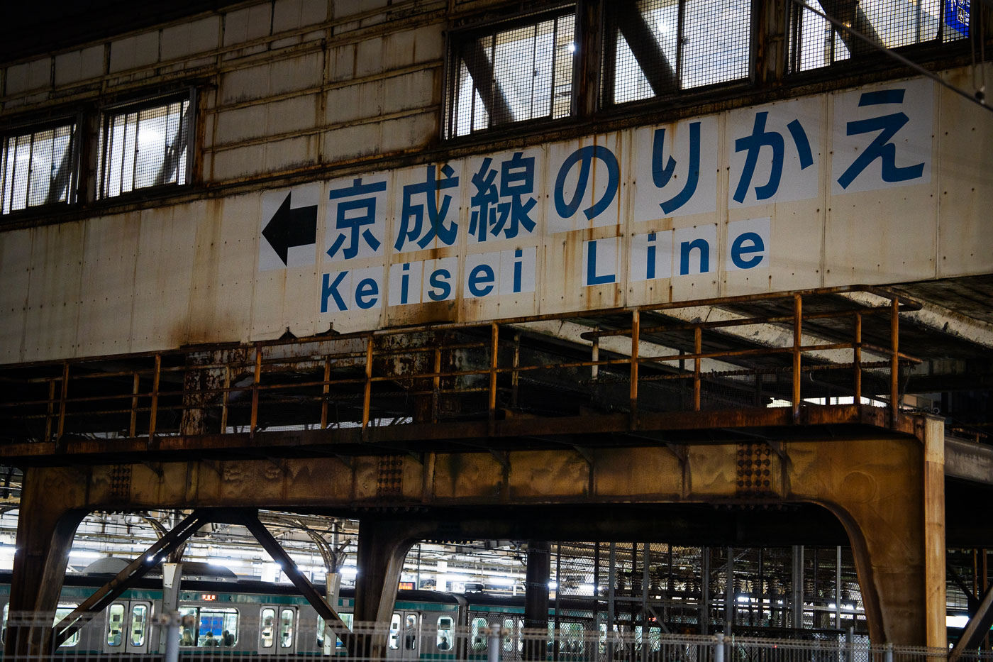
Overhead directional sign reading "Keisei Line" in Japanese and English at Nippori Station in Tokyo.
Nippori Station sits on the boundary of Arakawa and Taito wards, where JR East's Yamanote, Keihin-Tohoku, and Joban lines meet the Keisei Electric Railway's Main Line. The JR station opened in 1905; Keisei's adjacent station followed in 1931, giving the interchange its long-standing role as a transfer point between the city's loop line and the Keisei network. That connection matters chiefly for the Keisei Skyliner, which uses this line to reach Narita International Airport in about 40 minutes from Nippori, making the station a common stop for travelers switching from JR trains to airport-bound service. The elevated steel walkway and directional signage marking the transfer date to the station's postwar rebuilding and have changed little since, even as ridership through the interchange has grown with airport traffic.

Weathered Signage Pointing to the Keisei Line at Nippori Station

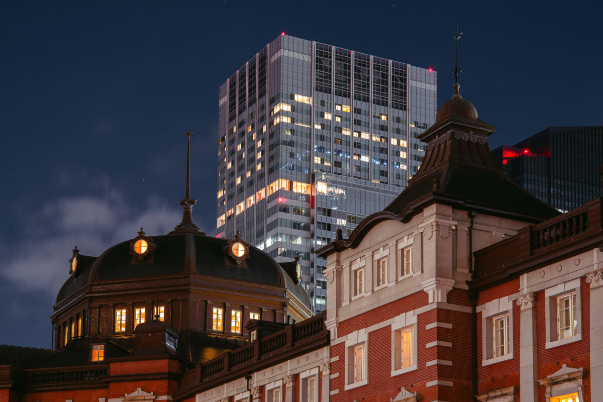
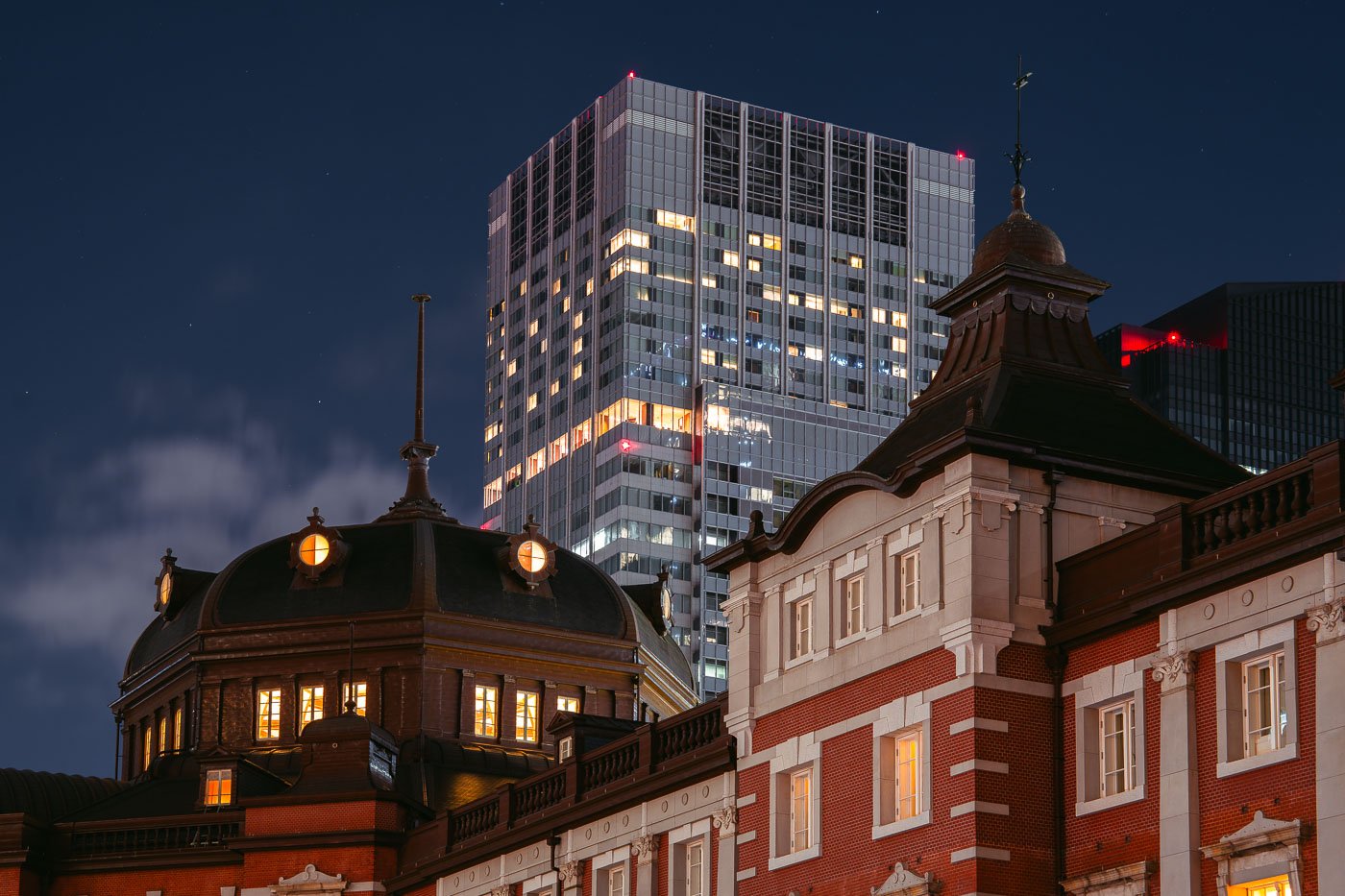
Tokyo Station's historic red-brick Marunouchi facade, completed in 1914, illuminated at night beside a modern office tower.
Tokyo Station's Marunouchi facade dates to the original station building completed in 1914 and designed by architect Tatsuno Kingo, whose domed pavilions anchor each end of the red-brick structure. The station sustained heavy damage in a 1945 air raid and wasn't fully restored to its prewar three-story form until a 2012 renovation. It remains the terminus for the Tokaido Shinkansen and several JR lines, handling hundreds of thousands of passengers daily. The Marunouchi district around it grew into one of Tokyo's principal business centers, and the station now sits framed by high-rise towers built long after Tatsuno's design was completed.

Tokyo Station’s Marunouchi Dome at Night, Tokyo

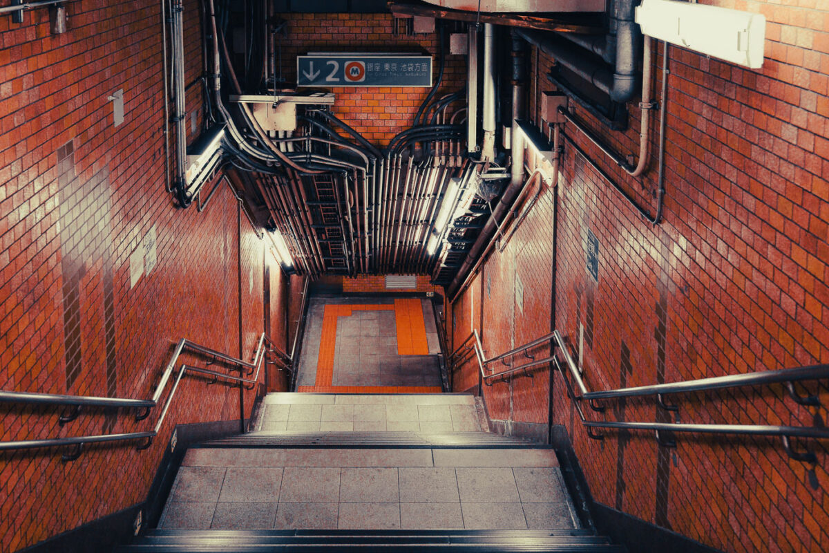
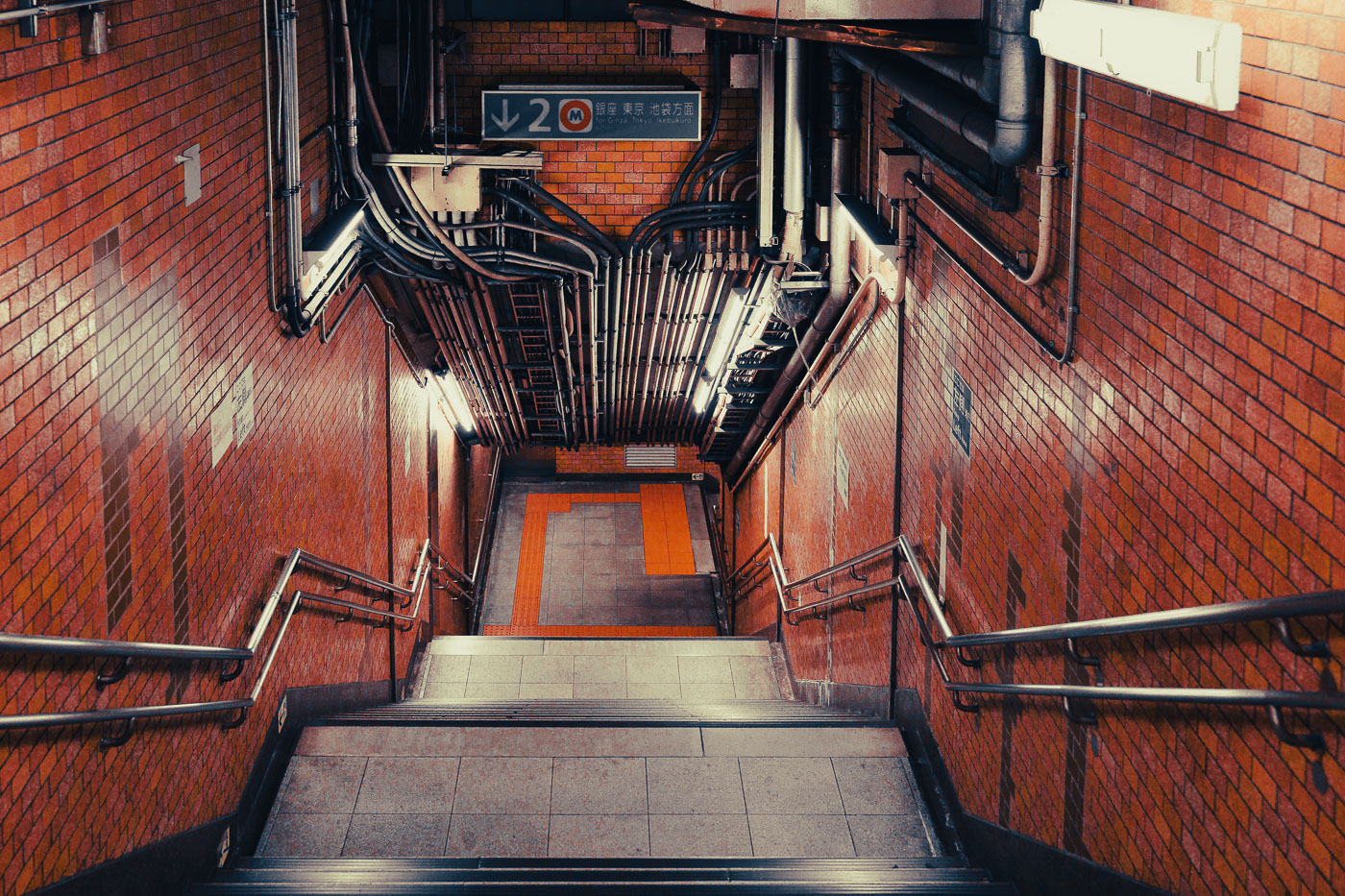
Marunouchi Line stairwell in Tokyo Metro with exposed black conduit and red brick walls.
The Marunouchi Line, Tokyo Metro's first subway route, opened in stages between 1954 and 1962 and remains one of the busiest lines in the system, linking Ogikubo and Ikebukuro with Tokyo Station and Ginza. Its red trains and red line color on Tokyo Metro maps have marked it since construction. Many of its original stations kept postwar-era finishes, with tiled walls and exposed conduit runs left uncovered along stairwells and platform ceilings. The line runs largely underground except for a short elevated stretch near Ochanomizu, where it crosses the Kanda River in view of Ochanomizu Station.

Exposed Conduit Over Stairwell on the Marunouchi Line

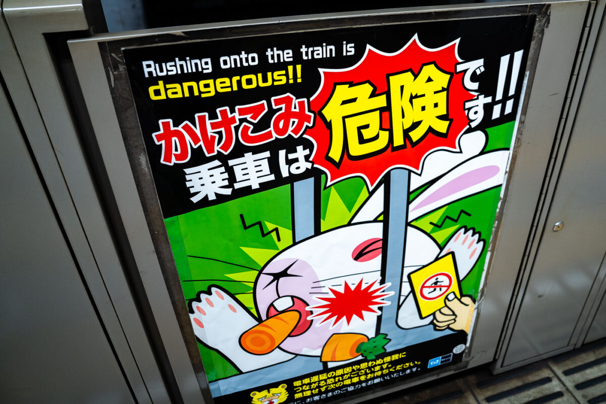
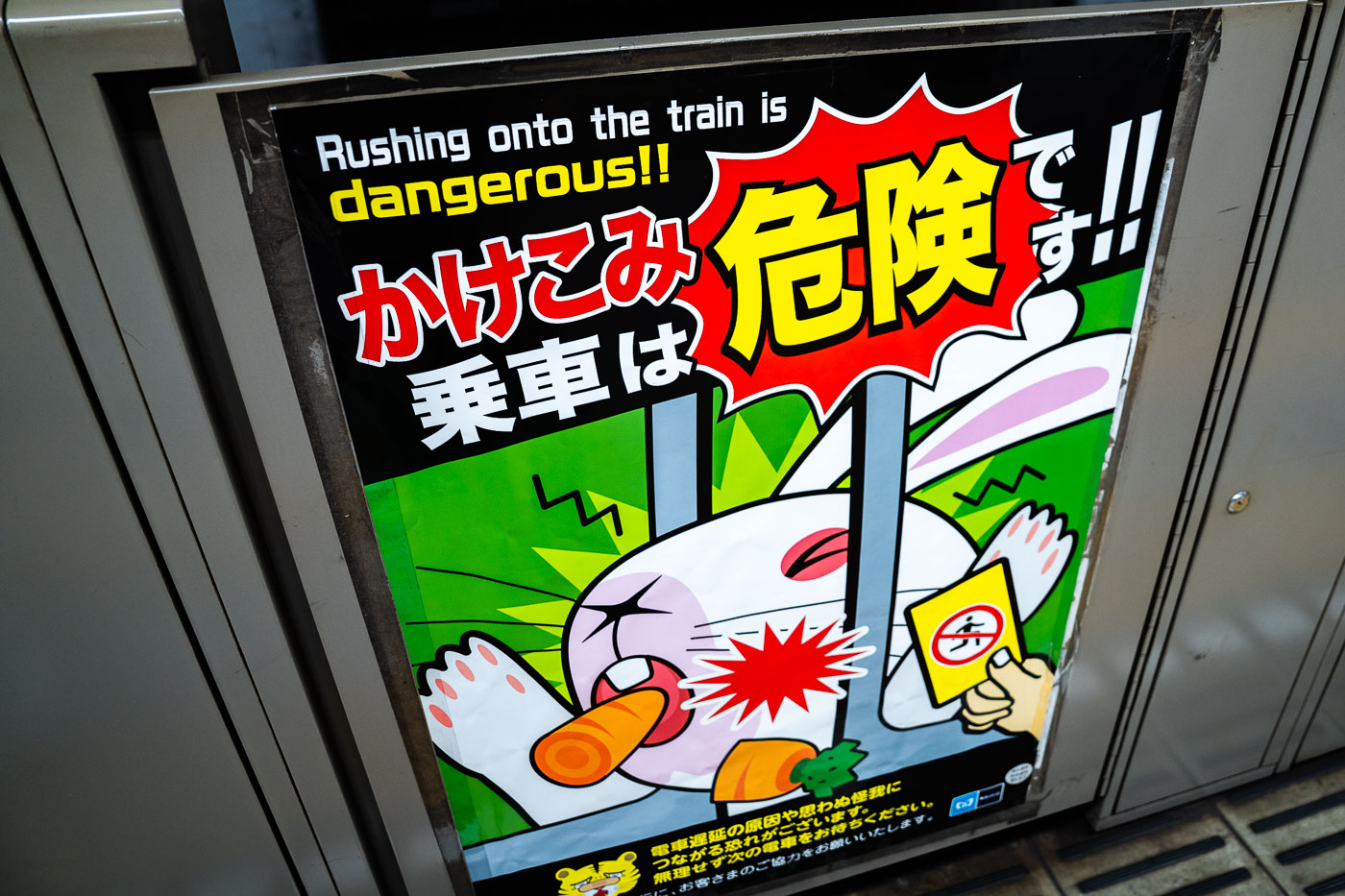
okyo Metro Safety Poster – “Rushing Is Dangerous”
A safety poster inside a Tokyo Metro station warns passengers not to rush onto closing trains. Tokyo’s subway operators, including Tokyo Metro and Toei, use a mix of mascots and bold graphic styles to discourage last-second boarding, which remains one of the most common causes of platform accidents and door malfunctions. These posters are typically placed on or near platform screen doors, which have been installed progressively across the network since the early 2000s to reduce injuries and improve train-dwell consistency. The messaging reflects Japan’s broader public-transportation safety culture: preventing delays, protecting passengers, and maintaining precise headways in some of the most heavily used rail corridors in the world. This particular design features a cartoon warning style common in Metro stations along lines such as the Marunouchi, Yamanote interchanges, and the Keisei connection points at Ueno and Nippori.

Tokyo Metro Safety Poster – “Rushing Is Dangerous”

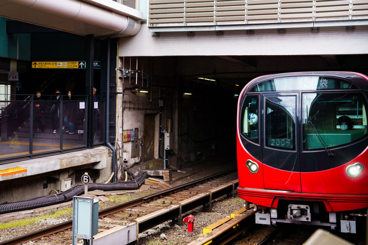
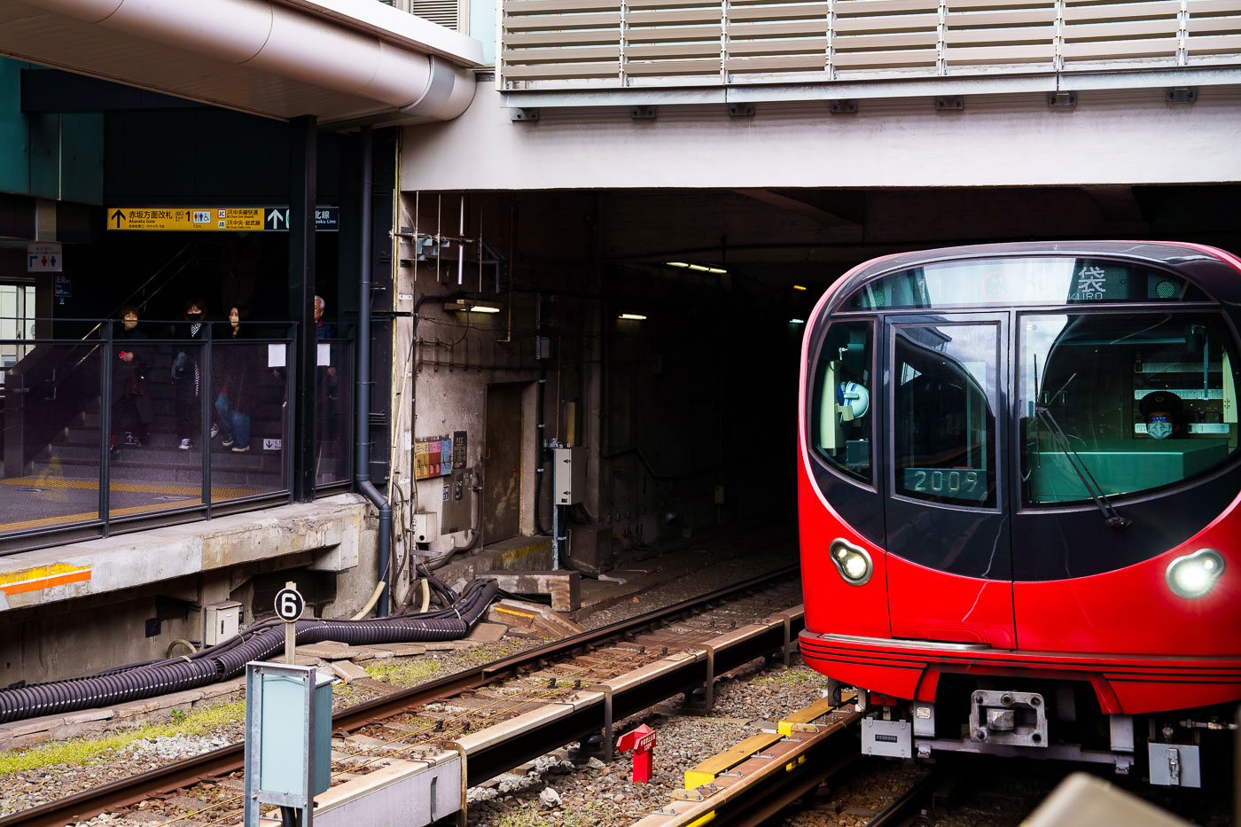
A red Tokyo Metro Marunouchi Line train approaches the platform at Ikebukuro station in Tokyo.
A Tokyo Metro Marunouchi Line train approaches its terminal platforms during a March 2023 visit. The Marunouchi Line, one of Tokyo’s earliest postwar subway routes, opened in 1954 and played a key role in connecting the expanding Yamanote district centers with government and commercial areas in central Tokyo. Ikebukuro, the northern terminus of the line, is one of Tokyo’s busiest rail hubs, jointly served by JR East, the Seibu and Tobu railway networks, and several Metro lines. The station complex was heavily rebuilt throughout the late 20th century to handle increasing commuter volumes, resulting in the multi-level platform and passageway layout still in use today.
Marunouchi Line Train Entering Yotsuya-Sanchome Station

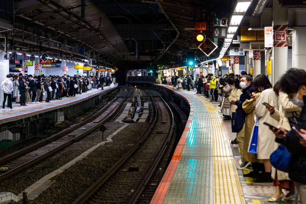
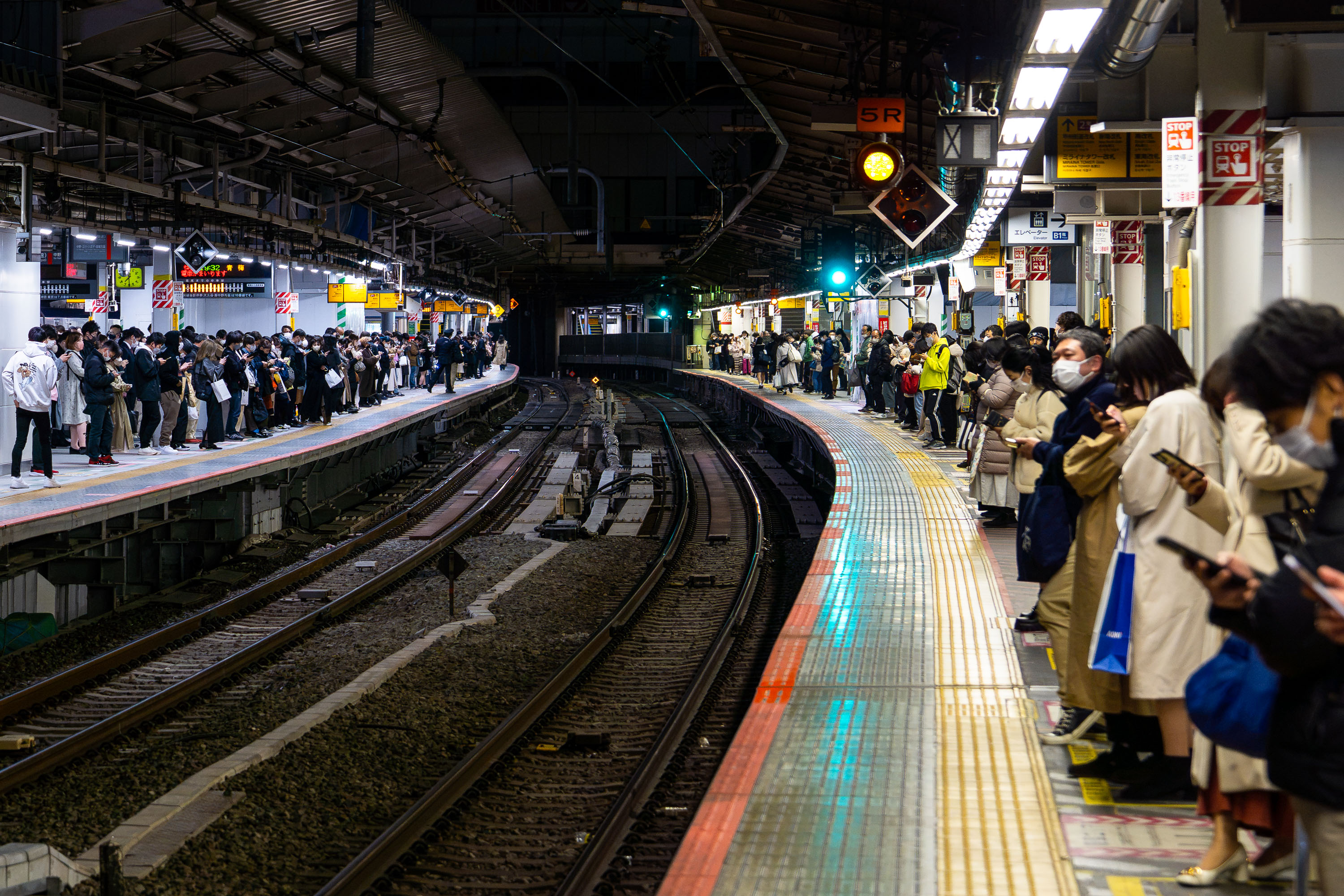
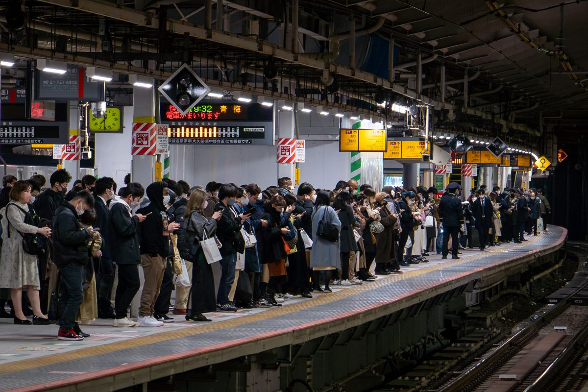
Commuters wait on both platforms at Shinjuku Station during evening rush hour in Tokyo, Japan.
Shinjuku Station handles roughly 3.5 million passengers a day, the busiest transit hub on the planet. The station serves multiple operators, including JR East, Odakyu, Keio, and the Tokyo Metro and Toei subway systems, through a maze of more than 200 exits. Its curved platforms and tight track geometry, a legacy of the station's piecemeal expansion since it opened in 1885, are still in daily use today. Commuters bound for Tokyo's western suburbs pass through here on lines like the Chuo, Sobu, and Odakyu, making the evening rush one of the densest recurring crowd events anywhere in the city.

Commuters Wait on a Curved Platform at Shinjuku Station

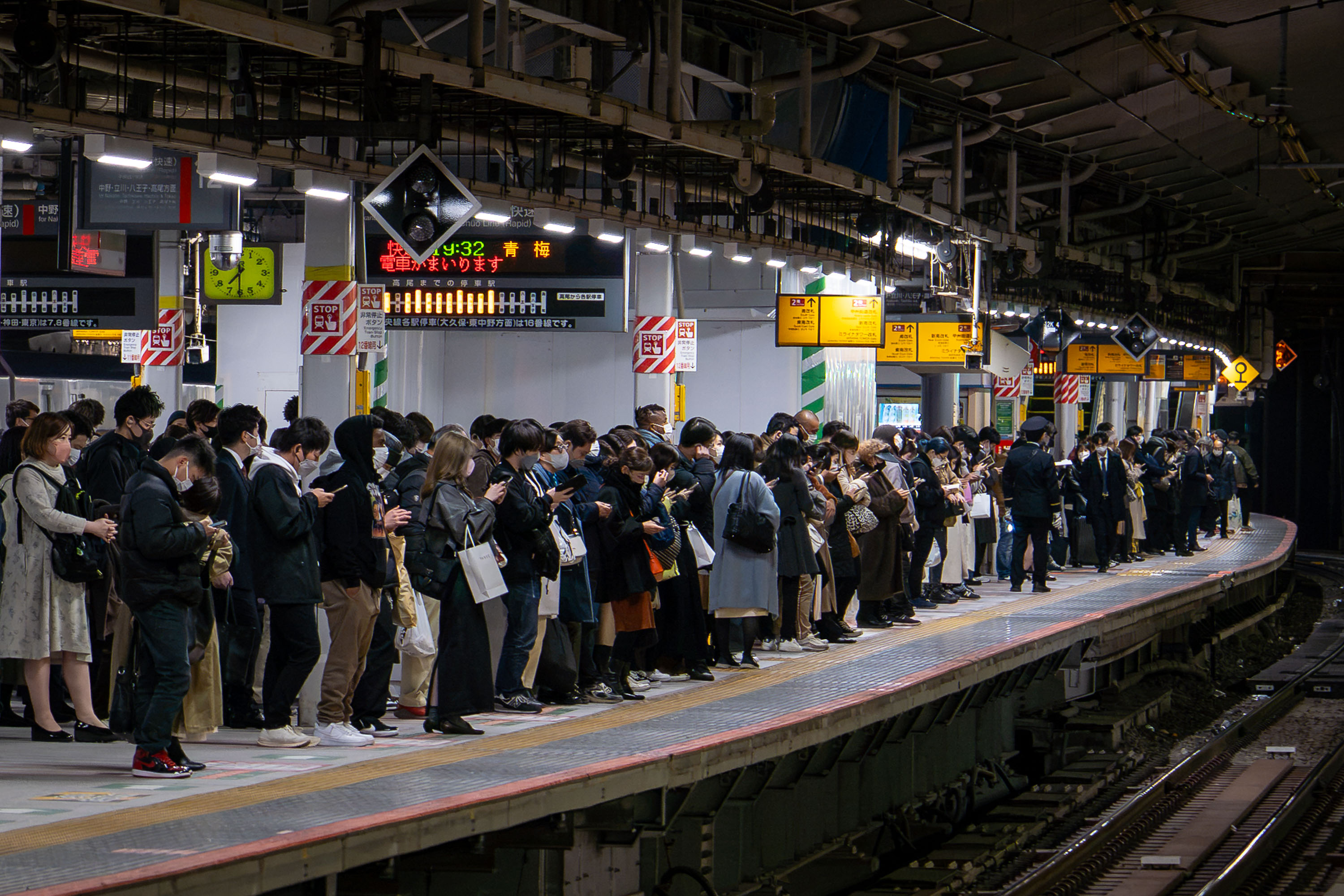
Crowds of commuters queue on a platform at Shinjuku Station in Tokyo during evening rush hour.
Shinjuku Station handles more than three million passengers a day, a figure that has earned it recognition from Guinness World Records as the busiest train station on Earth. The complex is shared by JR East, Keio, and Odakyu, along with the Tokyo Metro and Toei subway lines, linking more than 200 exits to the surrounding district. JR East's Chuo-Sobu and Yamanote lines run through platforms like this one, carrying commuters bound for destinations such as Ome, still visible on the departure boards common throughout the station. The station's platforms and passageways were built up over decades to accommodate ridership that grew alongside Tokyo's postwar expansion, and the crowding during peak evening hours remains a routine part of daily commuting in the city.

Commuters Wait for the Ome-Bound Train at Shinjuku Station

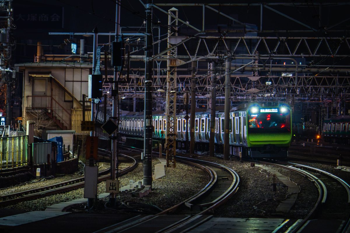
A JR East E233 series commuter train approaches an illuminated platform at a Tokyo rail yard at night.
This train is a JR East E233 series electric multiple unit, the standard commuter rolling stock introduced in 2006 across several Tokyo-area lines including the Chuo, Keihin-Tohoku, and Saikyo lines. Each set typically runs as a ten-car formation with a top speed of 120 km/h, built with a lightweight stainless-steel body and regenerative braking system. The dense overhead gantry structure supplies power through a 1,500-volt DC catenary, a standard configuration on JR East's electrified suburban network.

E233 Series Train Arriving Through the Rail Yard at Night

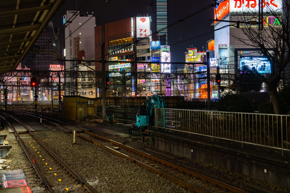
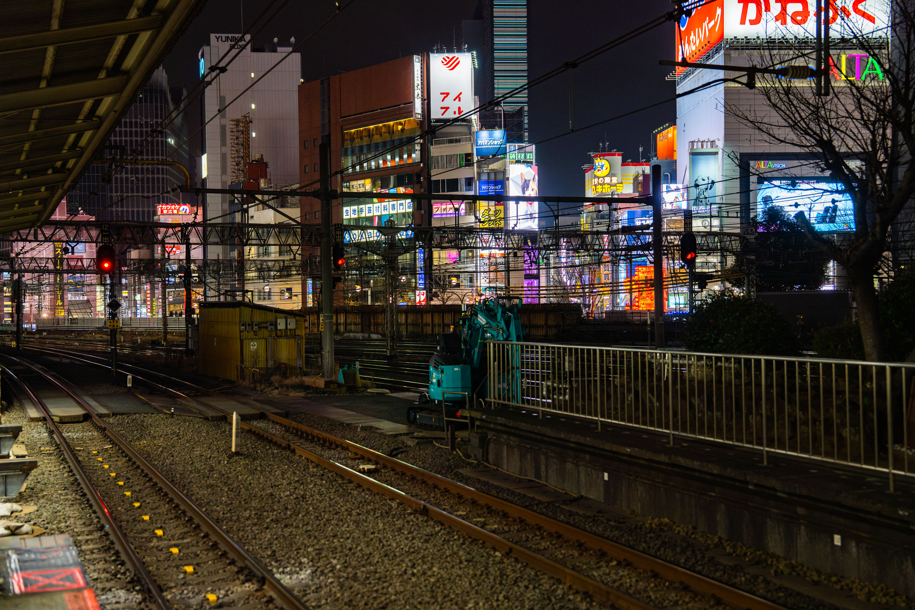
Rail tracks and maintenance equipment below Kabukicho district in Shinjuku, Tokyo, illuminated by neon signs at night.
Shinjuku's rail corridor runs just below Kabukicho, Tokyo's largest entertainment and nightlife district, packed with bars, theaters, and neon-clad storefronts advertising everything from pachinko parlors to karaoke lounges. The tracks belong to lines converging on Shinjuku Station, which handles more daily passengers than any other station in the world, according to Guinness World Records. Maintenance equipment and signal gantries along the right-of-way are routine fixtures of Japan's rail system, which prioritizes nightly track inspection and repair during the narrow hours when trains stop running.

Night Maintenance Along the Tracks Below Kabukicho’s Neon Skyline

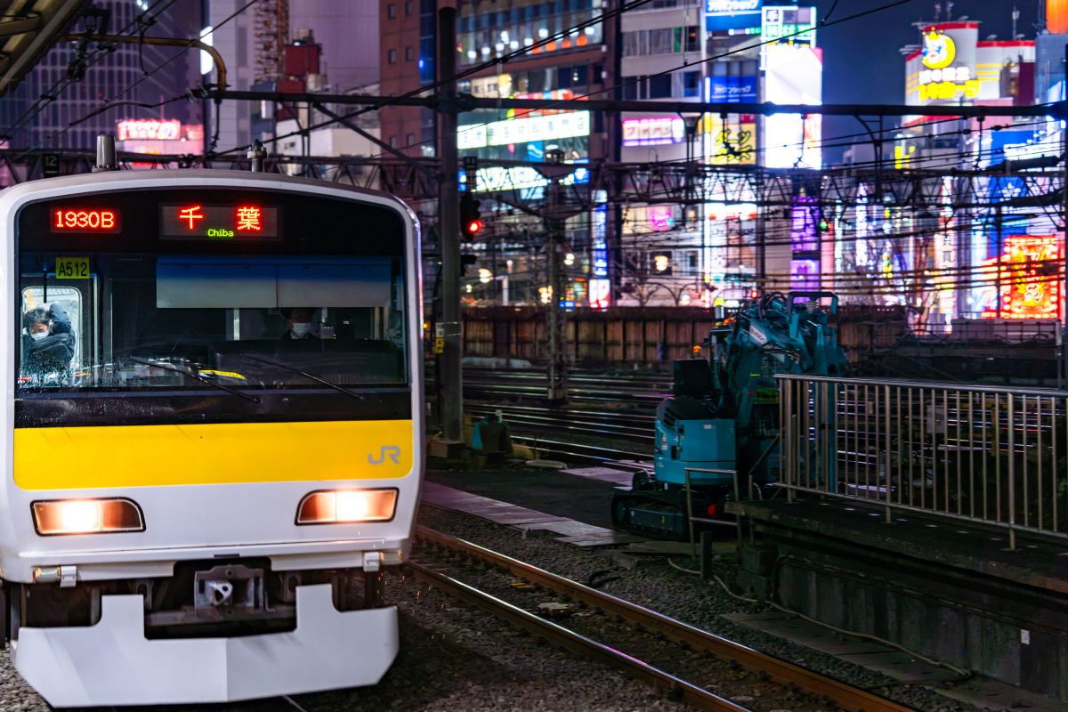
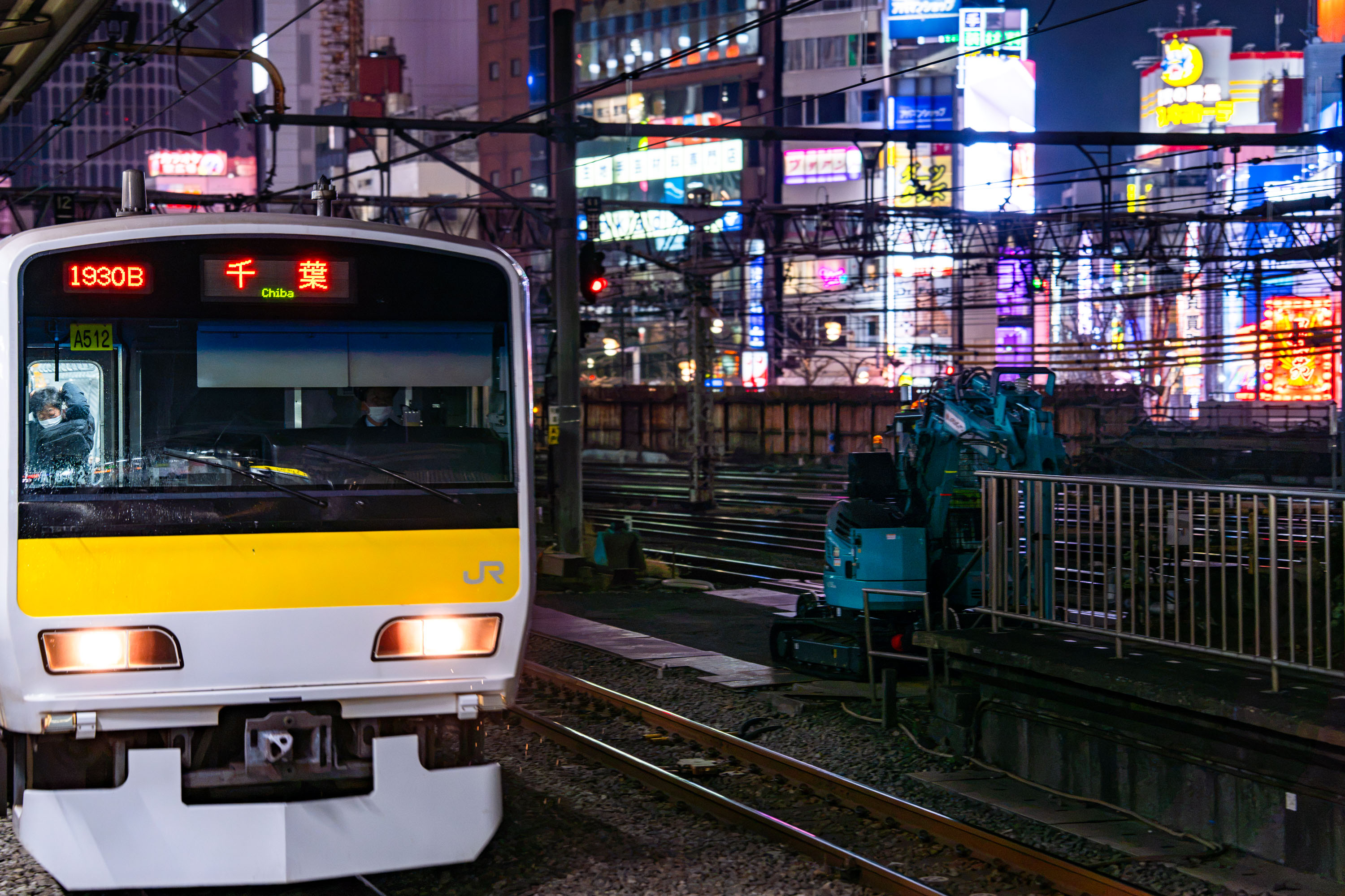
JR East E231 Series train bound for Chiba at Shinjuku Station in Tokyo during evening hours.
The E231 series train pictured here runs on JR East's Sobu Line, which links central Tokyo to Chiba Prefecture. JR East introduced the E231 fleet in 2000 as a successor to the older 103 and 201 series trains, building it with a stainless-steel body and a wide-door layout meant to speed passenger boarding during rush hour. Destination and train-number displays like the "1930B" and "Chiba" readouts on this unit's front panel use LED technology that JR East rolled out fleet-wide in the early 2000s to replace analog signage. The Sobu Line's rapid and local services share track with the Chuo Line through central Tokyo, feeding into major hubs such as Shinjuku and Akihabara before continuing east toward Chiba.

Sobu Line Train “1930B” Departs for Chiba Amid Shinjuku Neon

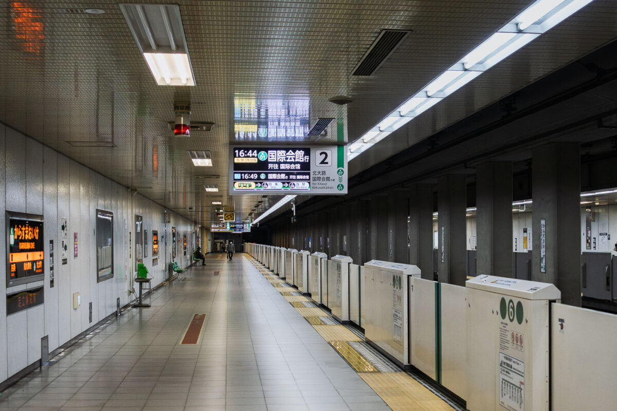
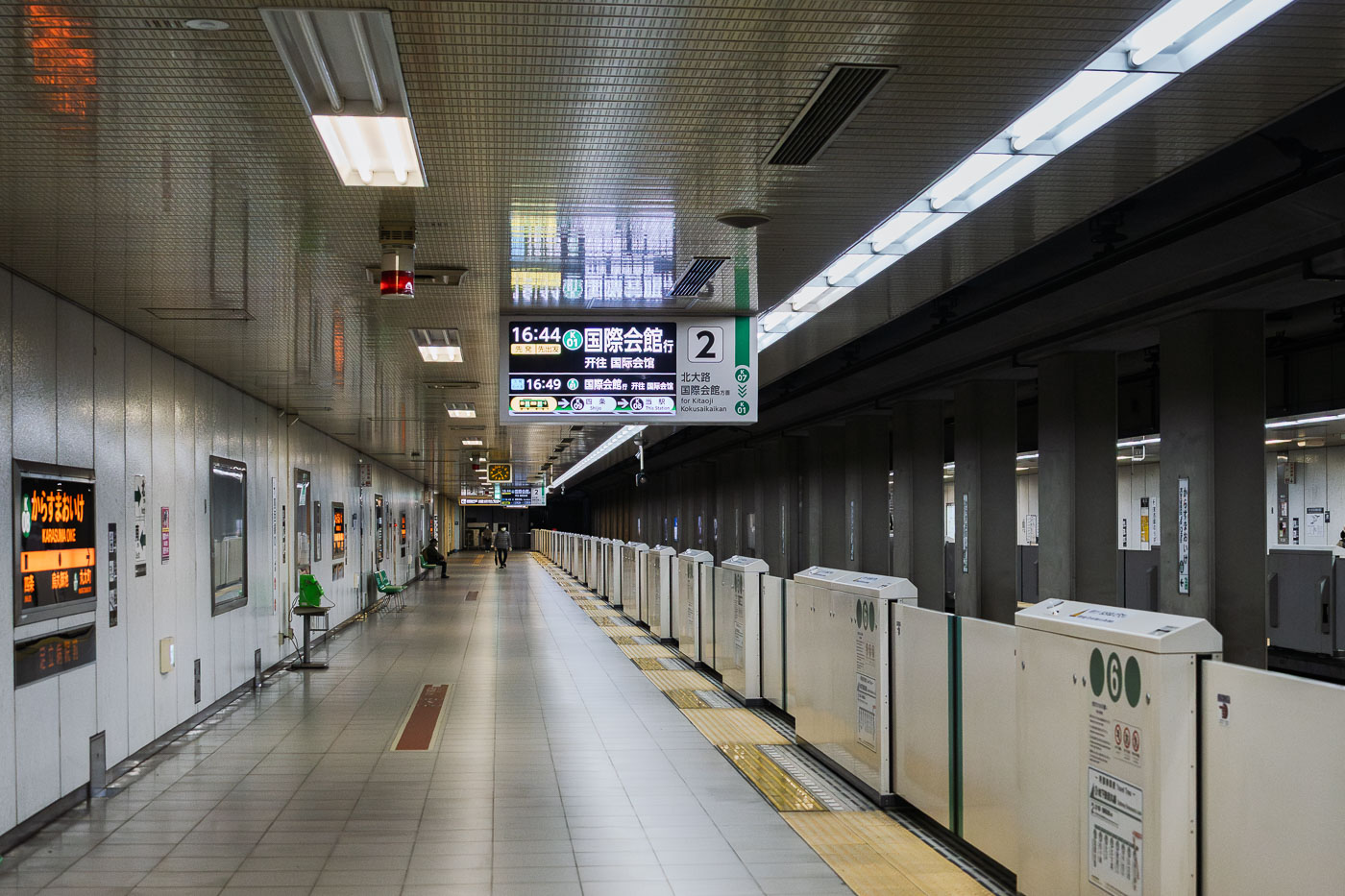
Underground platform at Karasuma Oike Station on the Kyoto Municipal Subway's Tōzai Line.
Karasuma Oike Station is an underground transfer station on the Kyoto Municipal Subway, situated beneath the intersection of Karasuma-dōri and Oike-dōri in central Kyoto. The station serves as the meeting point between the Karasuma Line, which opened in 1981, and the Tōzai Line, added in 1997 to create a cross-city transfer hub. Platform 2 serves Tōzai Line trains bound for Kokusaikaikan, connecting riders to destinations in northern Kyoto. The station's central location makes it one of the busiest interchange points in the city's subway network.

Tōzai Line Platform, Karasuma Oike Station, Kyoto

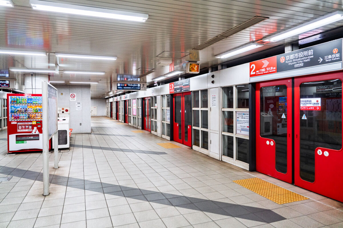
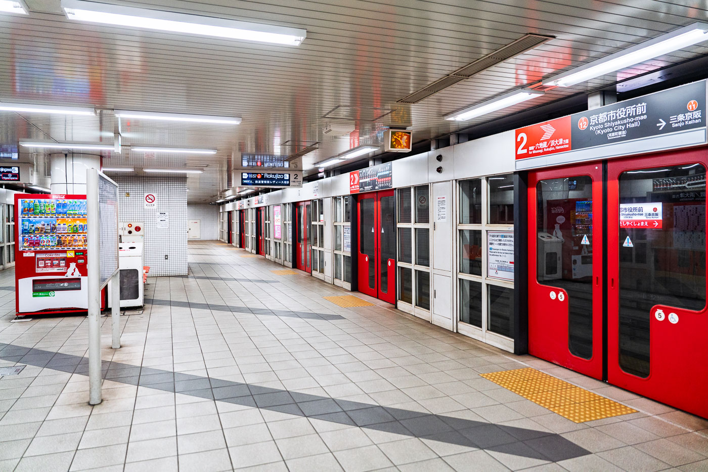
Underground platform at Kyoto Shiyakusho-mae Station on the Tozai Line, with red platform screen doors and bilingual signage.
Kyoto Shiyakusho-mae Station is an underground stop on the Kyoto City Subway Tozai Line, located near the Kyoto City Hall in central Kyoto. The station provides access to city government offices and connects riders traveling east toward Rokujizo and Misasagi and west toward Nijojo-mae and Uzumasa Tenjingawa. The Tozai Line, opened in 1997, runs across the city on an east-west axis and links with the Karasuma Line at Karasuma Oike Station.

Kyoto Shiyakusho-mae Station, Tozai Line

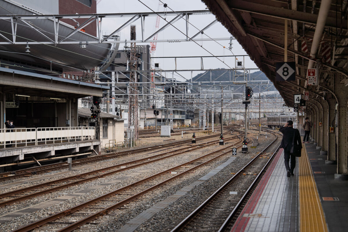
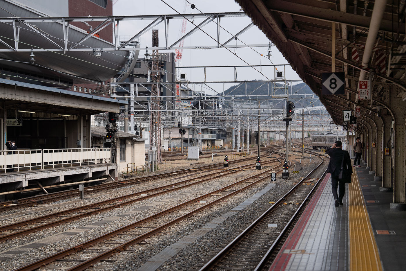
Person walking along a platform at Kyoto Station with multiple rail tracks and overhead wires visible.
Kyoto Station serves as the primary rail terminal for Kyoto, Japan, linking Japan Railways lines with the Tokaido Shinkansen bullet train service. The station's extensive network of tracks and elevated platforms accommodates both long-distance and regional trains connecting Kyoto to Osaka, Tokyo, and other cities across the Kansai region. Opened in its current form in 1997, the complex ranks among Japan's busiest transit hubs, moving commuters and travelers throughout the day.
Passenger Waiting on Platform 8, Kyoto Station

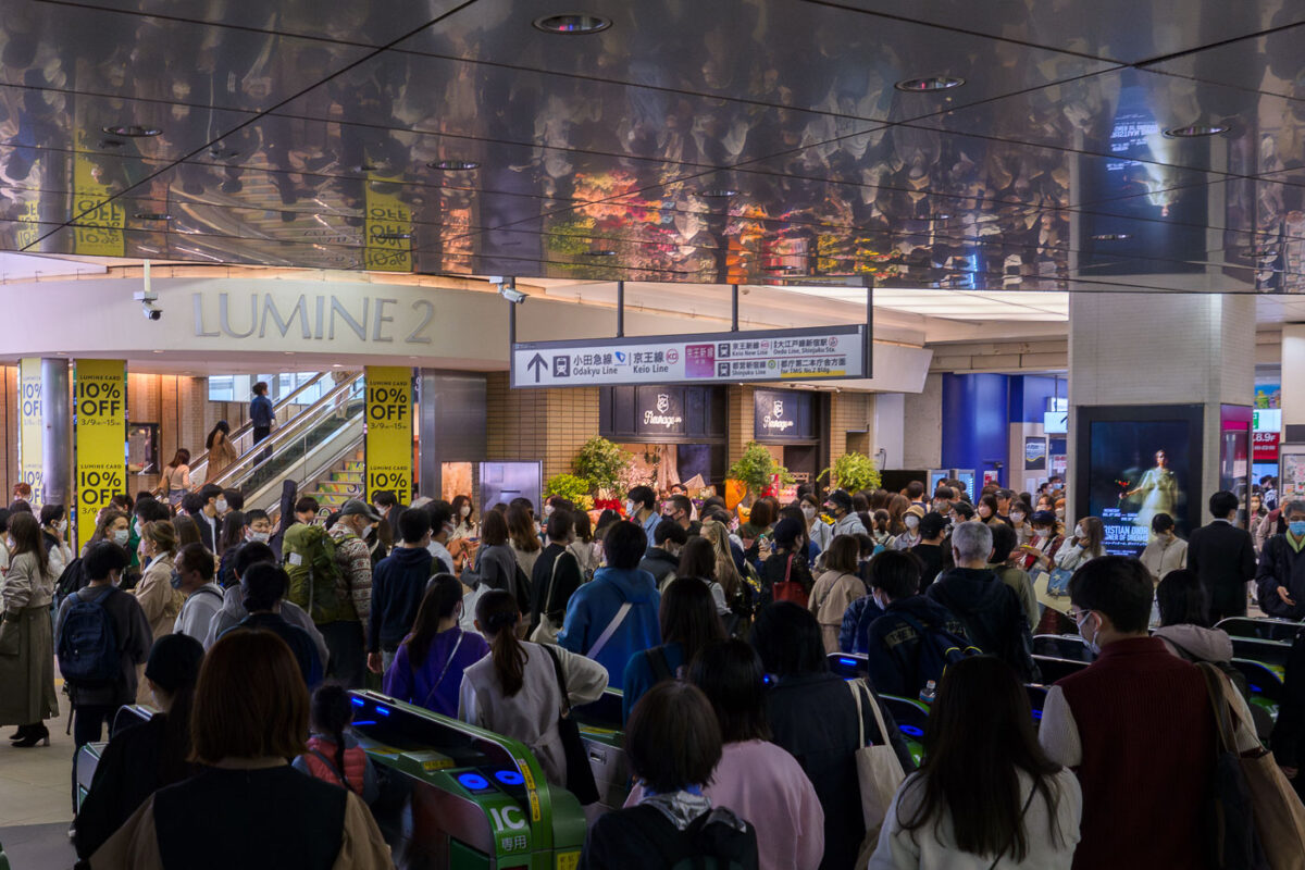
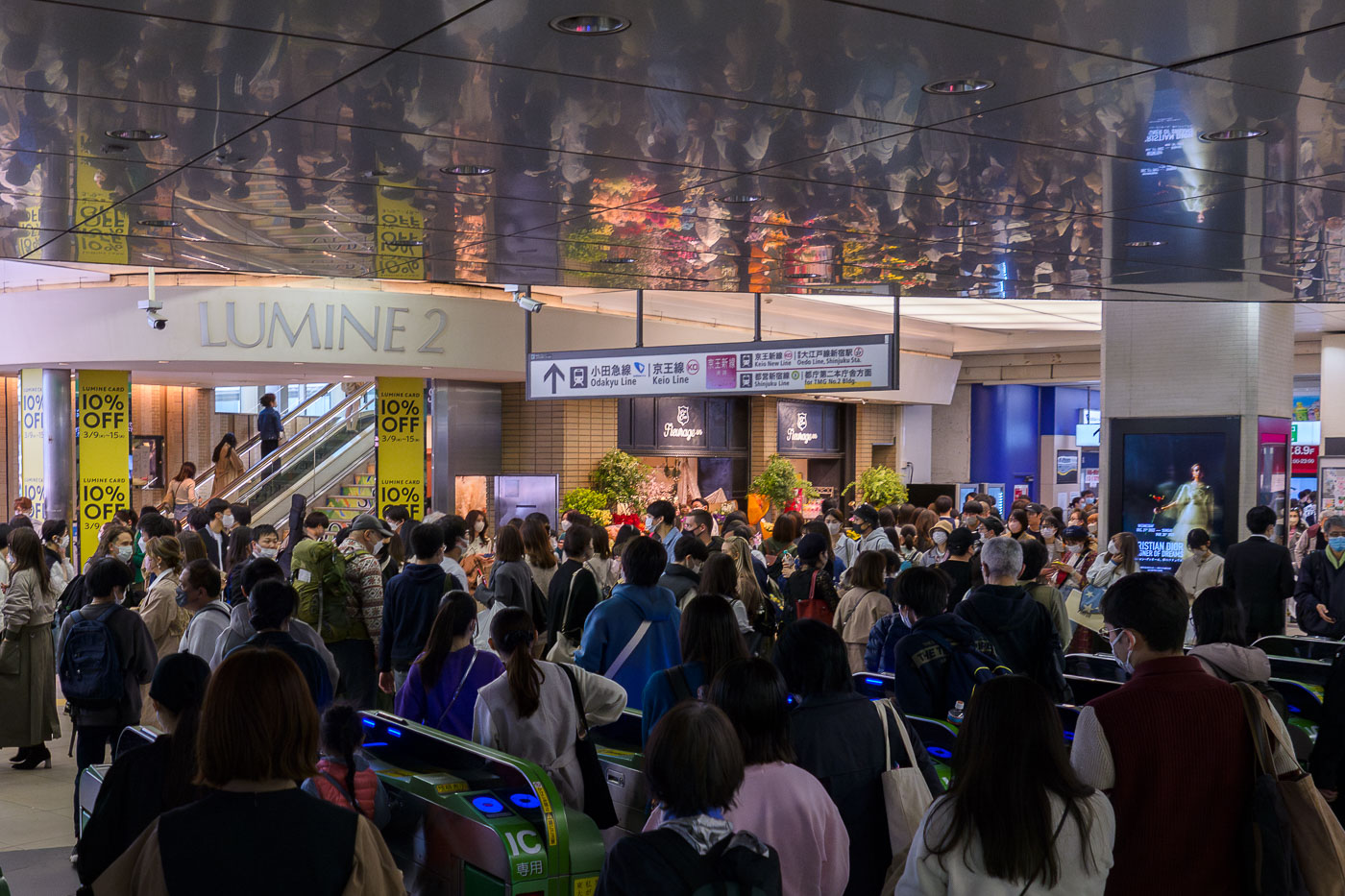
Crowds of commuters gather at the Lumine 2 concourse entrance near Odakyu and Keio Line transfers at Shinjuku Station in Tokyo.
Shinjuku Station in Tokyo serves as a major interchange connecting the Odakyu Line, Keio Line, Toei Oedo Line, and Toei Shinjuku Line, making it one of the busiest rail hubs in the world. The Lumine 2 building, visible at this concourse entrance, houses retail shops directly integrated into the station complex. This area functions as a key pedestrian junction where commuters transfer between private railway lines and Tokyo's subway network. The was taken on March 11, 2023, during a period when mask-wearing remained common practice in Japan.

Ticket Gates Near the Lumine 2 Entrance at Shinjuku Station

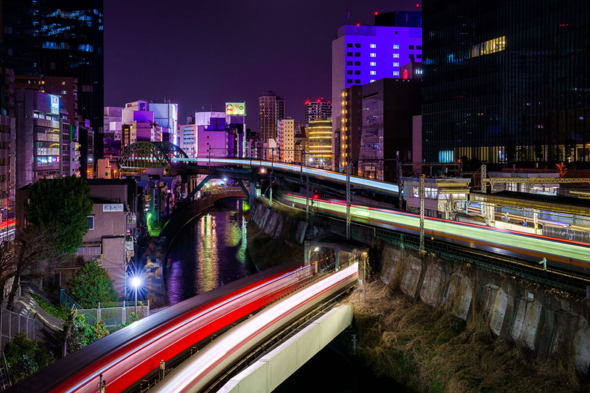
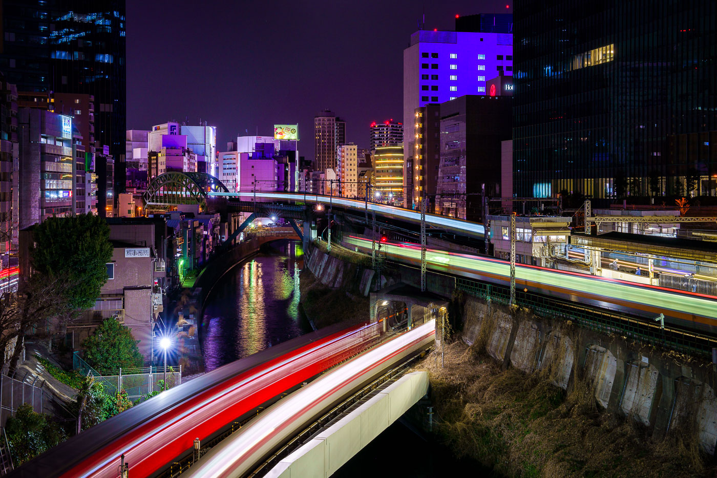
JR East trains with light trails cross the Kanda River on an elevated viaduct near Ochanomizu Station in Tokyo at night.
Elevated JR East rail lines cross the Kanda River near Ochanomizu Station in Tokyo's Chiyoda and Bunkyo wards. The Chuo and Sobu lines run along this stretch of viaduct, passing above the river and near the historic Ochanomizu Bridge, a steel arch structure built in the early 20th century. The area is a long-established rail corridor connecting central Tokyo to western suburbs, with dense commercial and office development lining both banks.
Train Light Trails Above the Kanda River at Ochanomizu
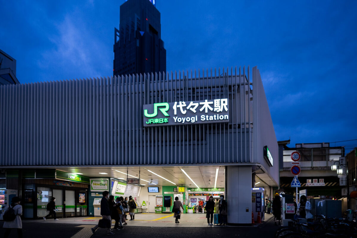
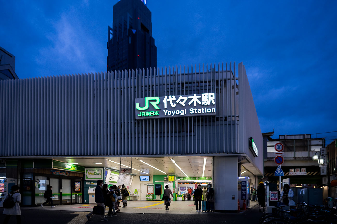
JR Yoyogi Station in Tokyo's Shibuya ward illuminates at dusk with commuters gathered beneath its distinctive tower structure.
JR Yoyogi Station sits in Tokyo's Shibuya ward, serving as a stop on the Yamanote and Chuo-Sobu lines. Operated by JR East, the station opened in 1906 and connects riders traveling between Shinjuku and Harajuku. Its position along the Yamanote loop makes it a minor but steady transfer point within the wider Tokyo commuter rail network.

JR Yoyogi Station Entrance at Dusk

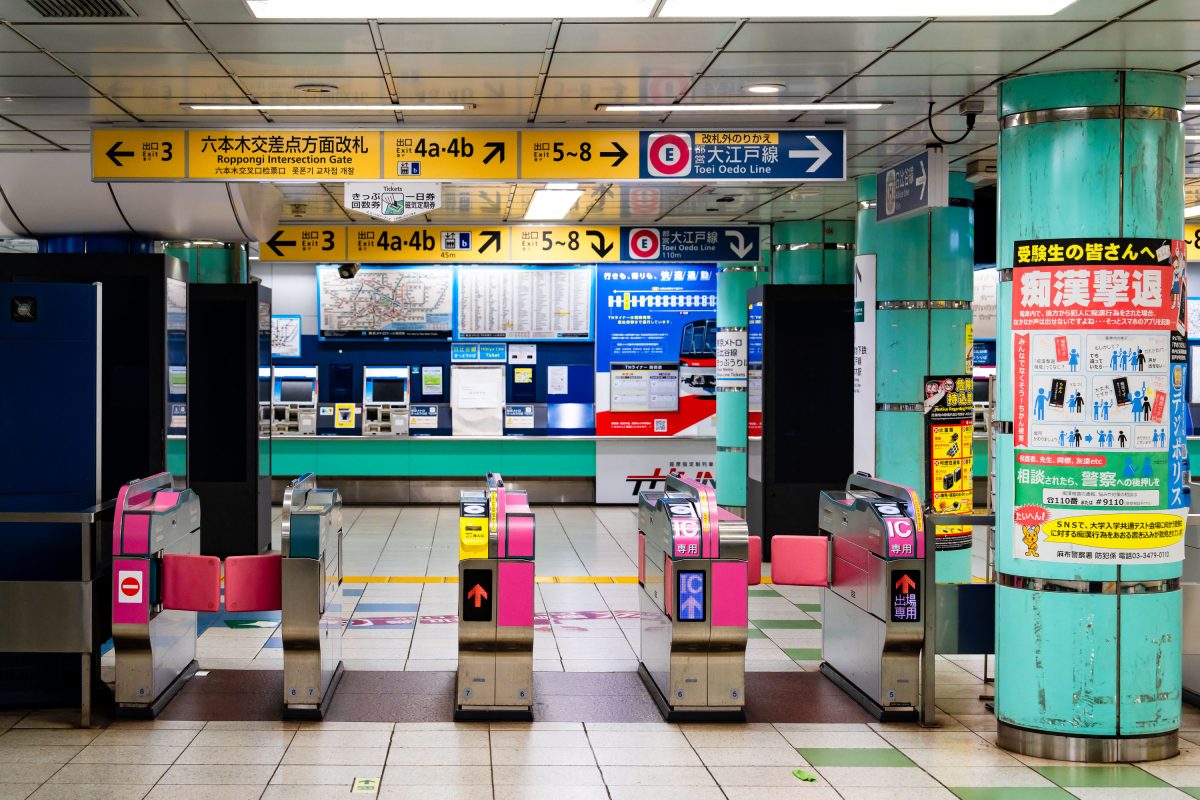
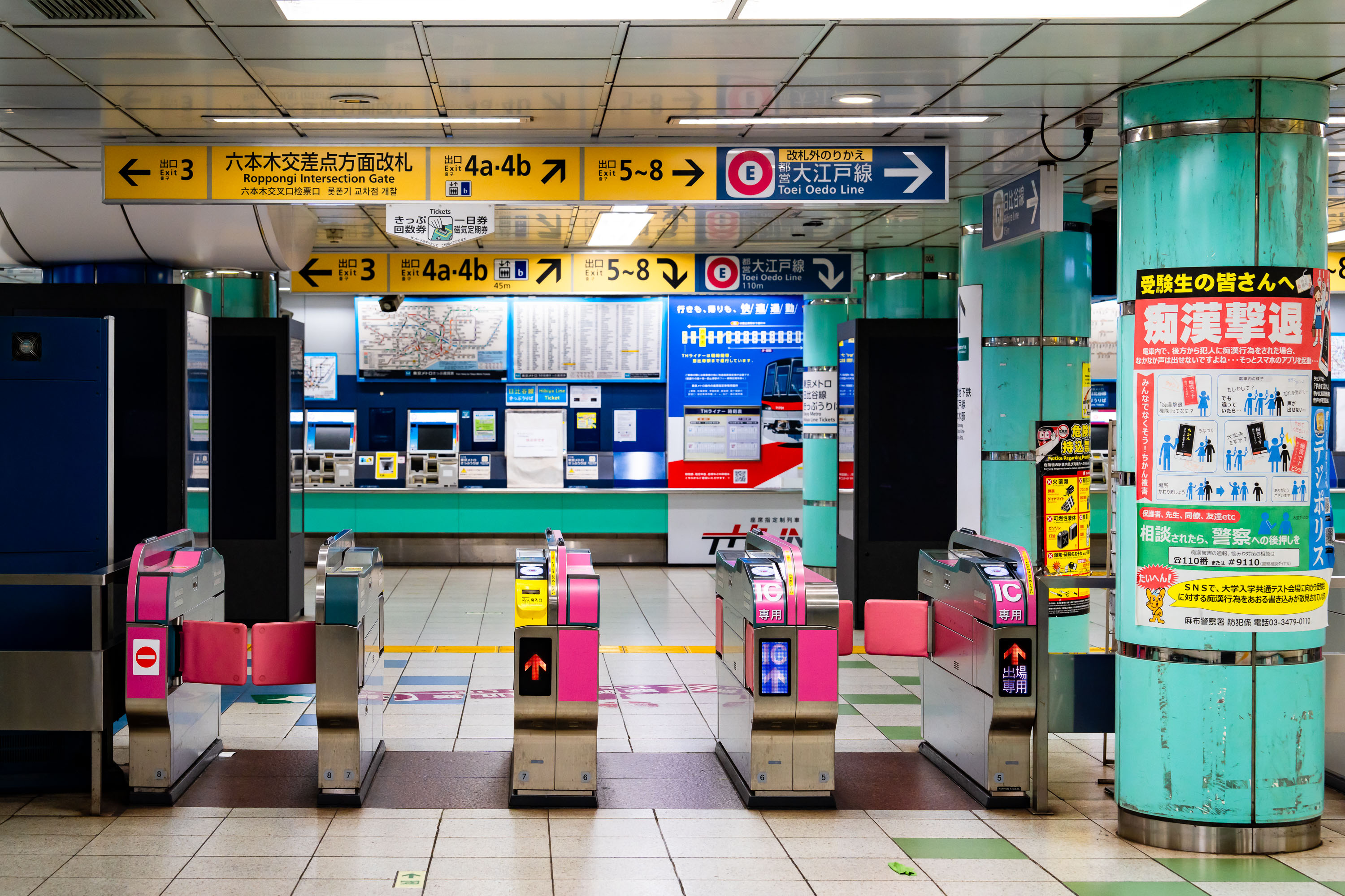
Automatic ticket gates at Roppongi Station on Tokyo Metro's Hibiya and Oedo lines in central Tokyo.
Automatic ticket gates at Roppongi Station on the Tokyo Metro Hibiya and Oedo lines in Minato City, Tokyo. The station serves the Roppongi commercial and nightlife district and connects to the Roppongi Intersection area above ground. Toei's Oedo Line and Tokyo Metro's Hibiya Line both operate through this interchange, making it a key transfer point in central Tokyo's subway network.

Fare Gates Near the Roppongi Intersection Exit
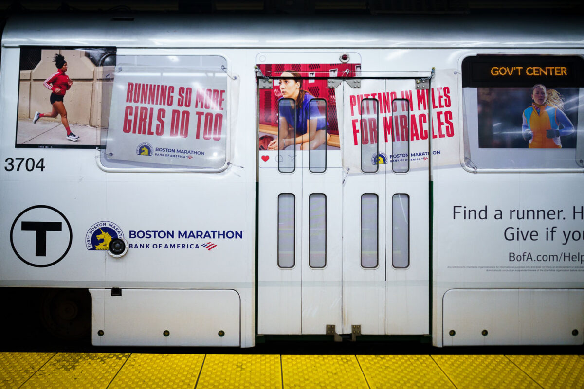
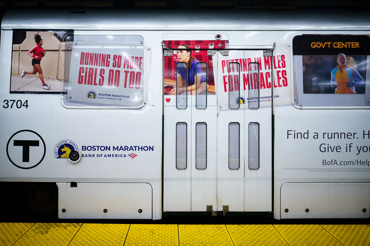
MBTA train 3704 displays Boston Marathon advertising wrap with runner imagery and charitable messaging at a subway platform.
The Boston Marathon, first run in 1897, is the world's oldest annual marathon and finishes each year on Boylston Street after a course that begins in Hopkinton. Bank of America has served as the race's presenting sponsor since 2007, backing both the elite competition and its charitable fundraising arm. "Miles for Miracles" is the official marathon program of Boston Children's Hospital, allowing runners to earn bib entries in exchange for raising money for the hospital's patient programs. MBTA transit ads promoting the race and its associated causes typically run each spring in the weeks leading up to Marathon Monday.

Boston Marathon Ad Wrap on an MBTA Train Near Government Center
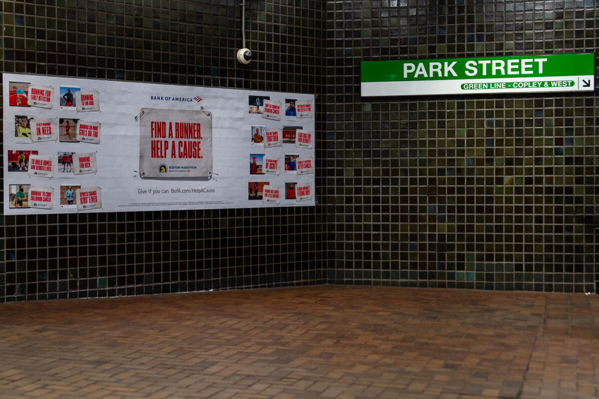
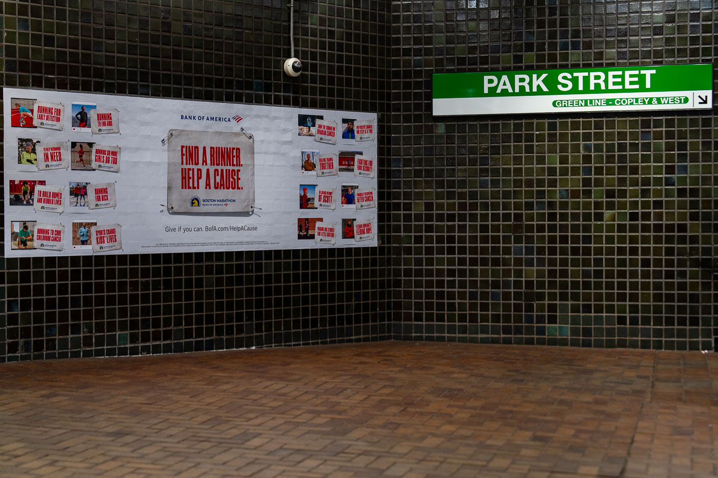
Bank of America Boston Marathon charity advertisement at Park Street Station on the MBTA Green Line in Boston.
Park Street Station opened in 1897 as the first subway station built in the United States, constructed beneath Boston Common to ease surface traffic on Tremont Street. It remains a transfer point between the Red and Green Lines, with signage here marking Green Line service toward Copley Square and points west. The Bank of America advertisement promotes "Find a Runner, Help a Cause," a Boston Marathon charity-bib program run through the Boston Athletic Association that pairs race entries with fundraising for participating nonprofits.

“Find a Runner, Help a Cause” Ad at Park Street Station

© 1996–2026 Chad Davis