Mexico

82 photos · 2016–2026

82 photographs tagged Mexico, 2016–2026.
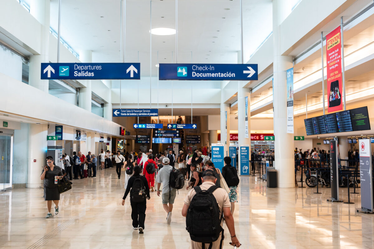
Passengers walk through Cancun International Airport departures hall in Cancun, Mexico.
Passengers move through the departures hall at Cancun International Airport in Cancun, Mexico. Overhead signs direct travelers to departures, check-in, ticket sales, and passenger services inside the terminal.

Travelers Head to Check-In at Cancun International Airport
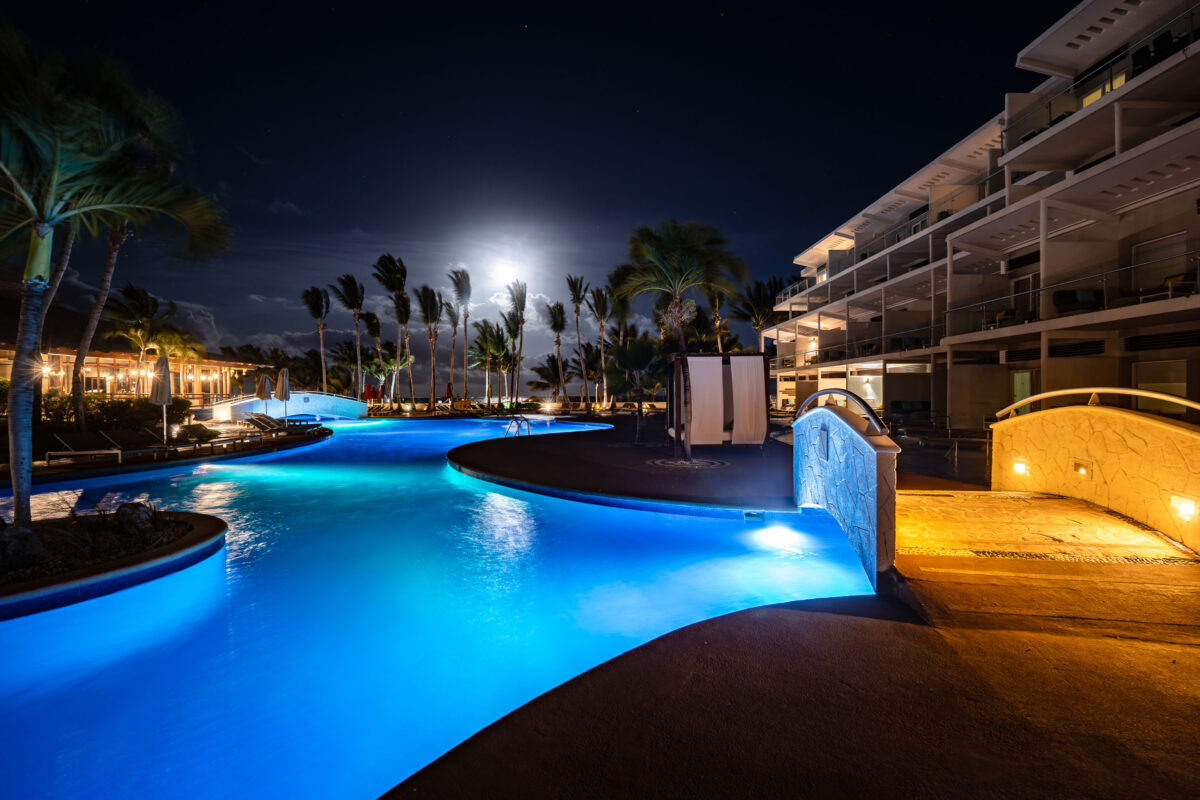
Iberostar Selection Riviera Cancun pool at night in Cancun, Mexico.
Iberostar Selection Riviera Cancun in Cancun features a lagoon-style pool area at night. The resort was previously known as Azul Beach Resort Riviera Cancun and Palmar Beach Resort.

Moonrise Over the Pool at Iberostar Selection Riviera Cancún
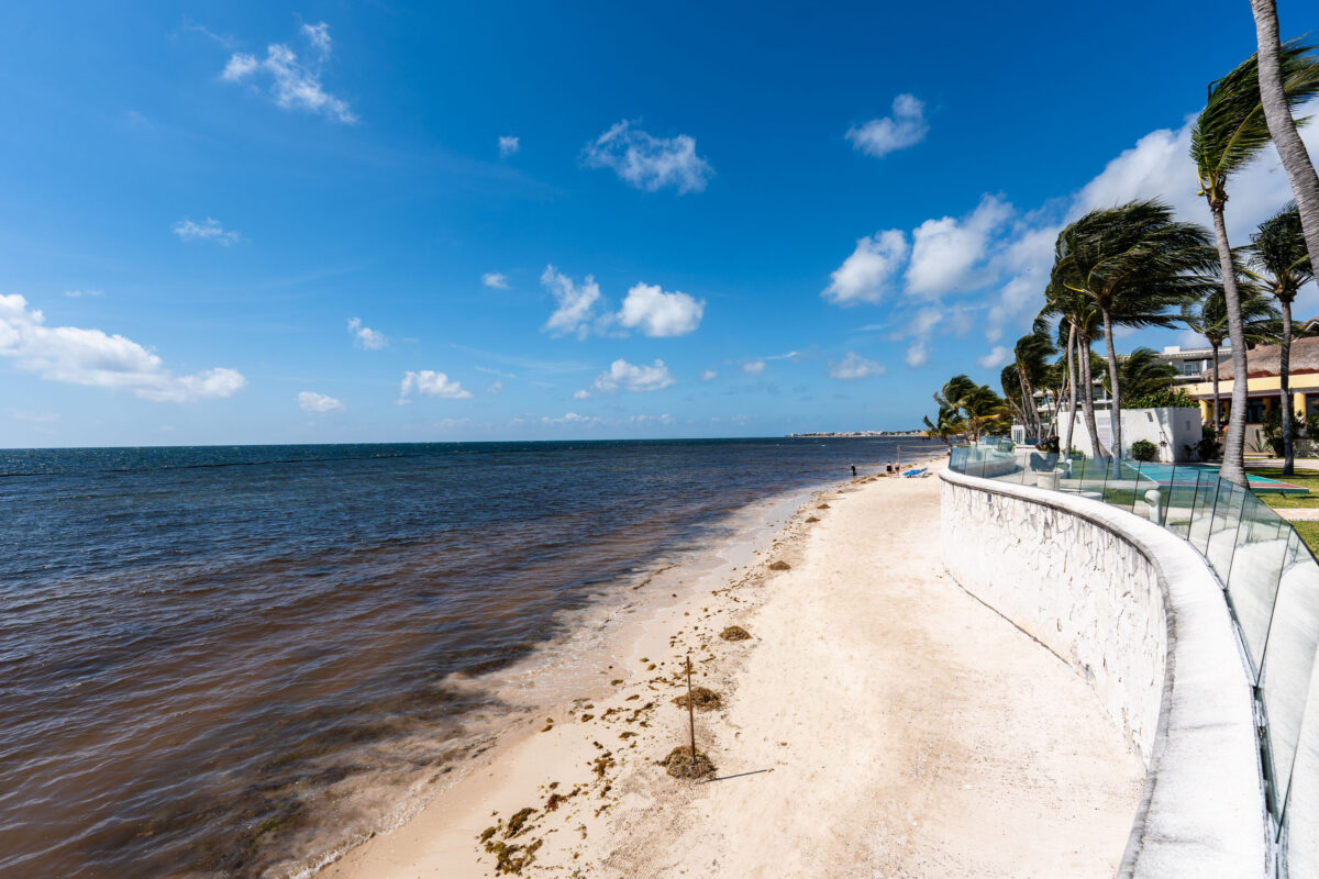
Sandy beach and low seawall along the Caribbean coastline at Iberostar Selection Riviera Cancún, Mexico.
The beach at Iberostar Selection Riviera Cancún fronts the Caribbean Sea along Mexico's Riviera Maya, south of downtown Cancún. Iberostar Hotels & Resorts, a Spanish hospitality group founded in 1990, operates the property as part of its all-inclusive Selection tier. Like much of the Yucatán's eastern coastline, this stretch of shore is subject to seasonal sargassum seaweed accumulation, which resorts in the region typically manage with regular beach cleanup crews and low retaining walls to control sand loss.

Windswept Palms Along the Seawall at Iberostar Selection Riviera Cancún

Towel monkey arranged in a guest room at Iberostar Selection Riviera in Cancún.
A towel monkey is arranged in a guest room at Iberostar Selection Riviera in Cancún. The figure is made from folded white towels and clipped to a wooden hanger above a mirror.

Towel Monkey Folded for a Guest Room at Iberostar Selection Riviera
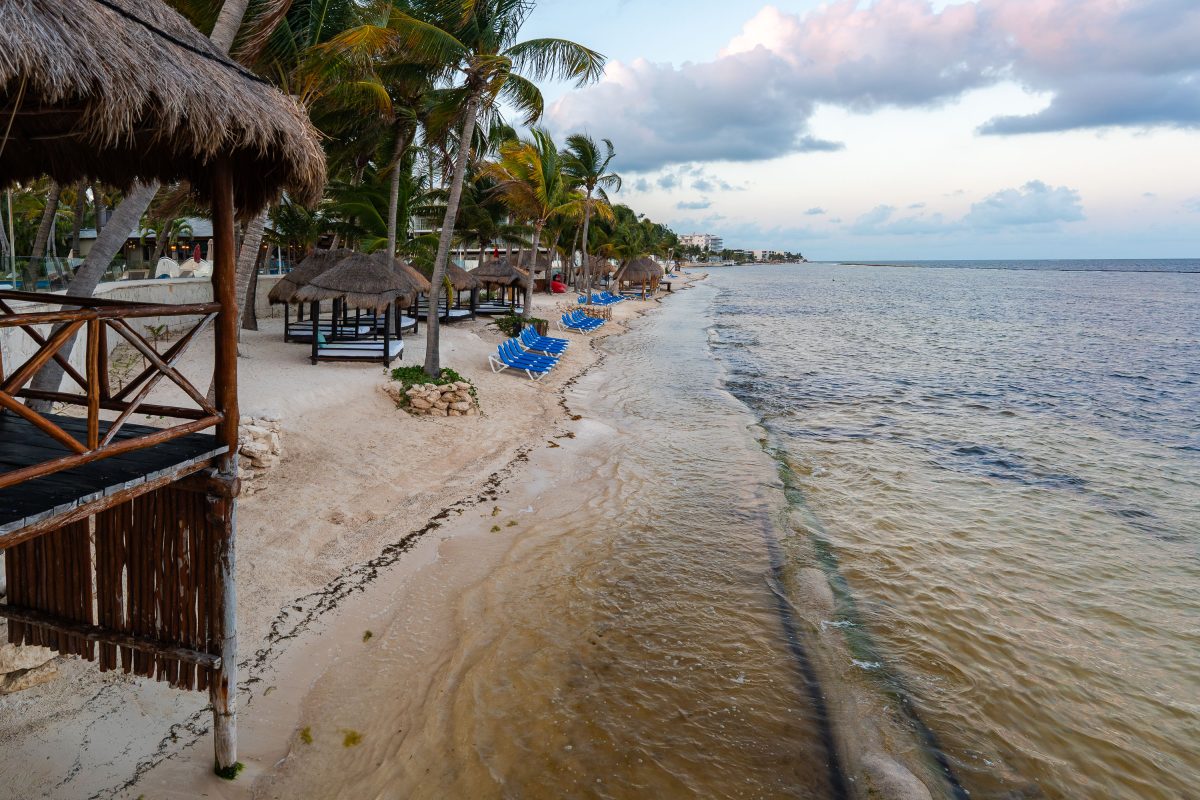
Thatched palapas and blue lounge chairs line the beach at Iberostar Selection Riviera Cancún on Mexico's Caribbean coast.
Iberostar Selection Riviera Cancún sits along the Riviera Maya coastline south of Cancún, part of the Iberostar Hotels & Resorts chain. The all-inclusive property lines its stretch of Caribbean beach with thatched-roof palapas and lounge chairs for guest use. Sargassum, a seaweed that has affected much of the Mexican Caribbean coast in recent years, regularly washes up along this shoreline. The resort is one of several Iberostar properties clustered along this section of the Riviera Maya, a coastal corridor stretching roughly 80 miles from Cancún to Tulum.

Sargassum Along the Shore at Iberostar Selection Riviera Cancún
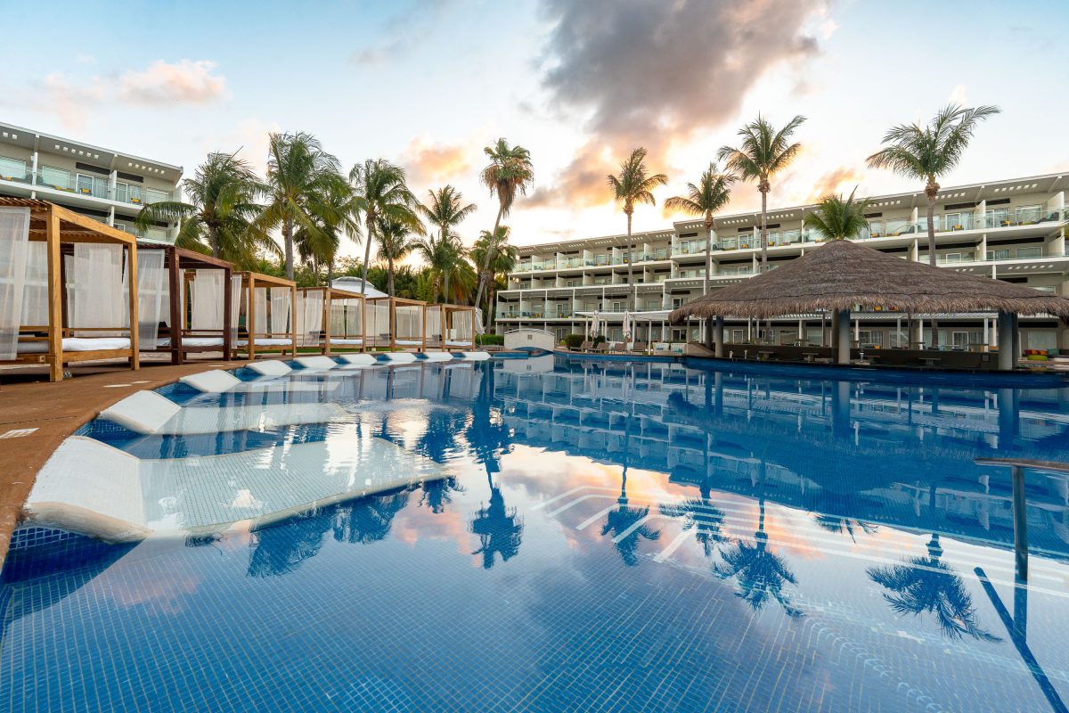
Resort pool with swim-up bar and palm trees at Iberostar Selection Riviera Cancún.
Iberostar Selection Riviera Cancún sits on the Riviera Maya coastline south of Cancún, part of the Iberostar Hotels & Resorts portfolio based in Spain. The property underwent a multimillion-dollar renovation and reopened under the adults-oriented Selection brand, one of several tiers Iberostar uses to differentiate its properties across the Caribbean and Mexico. Its pool complex connects to a swim-up bar and palapa-covered lounge areas, a common design at large all-inclusive resorts in the region. The resort's guest rooms are arranged in multi-story buildings facing the pool and beachfront, typical of the master-planned developments along this stretch of coast.

Sunrise at the Pool Bar, Iberostar Selection Riviera Cancún
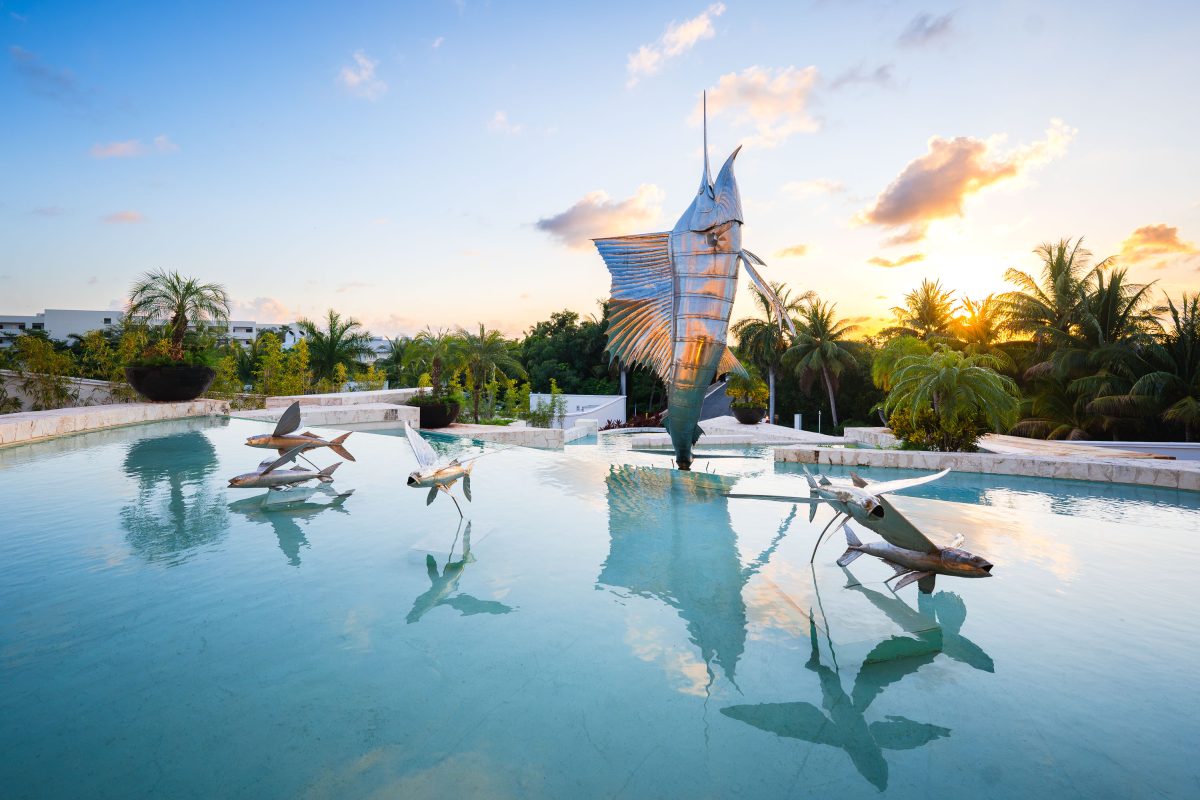
Front entrance of Iberostar Selection Riviera Cancún
The front entrance to the newly re-opened and re-branded Iberostar Selection Riviera Cancún Mexico.

Sailfish Sculpture at Iberostar Selection Riviera Cancún

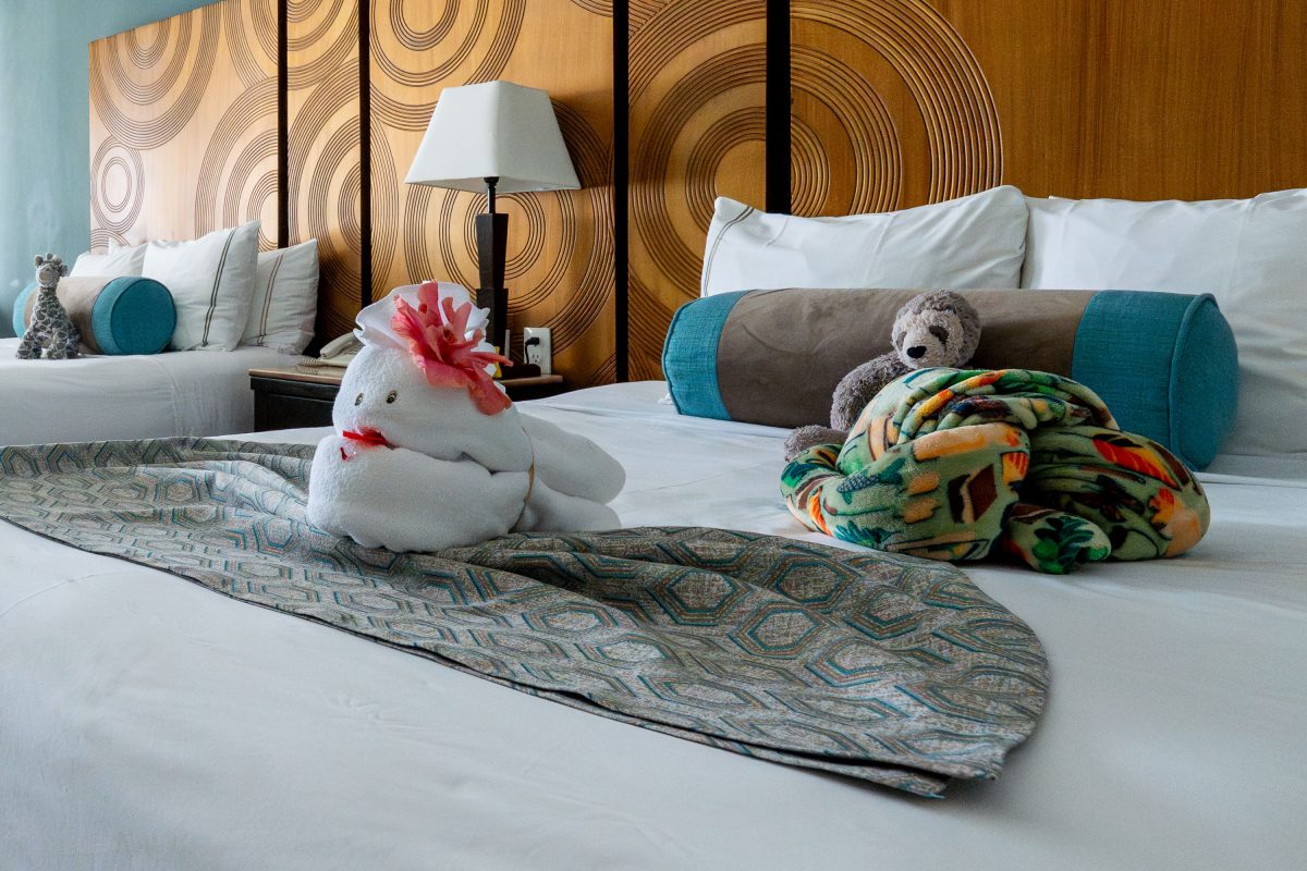
Towel and blanket animal figures displayed on a bed at Iberostar Selection Riviera Cancún resort.
Housekeeping staff at Iberostar Selection Riviera Cancún fold bath towels and blankets into animal figures as a turndown-service tradition common at all-inclusive resorts along the Riviera Maya. The practice, often called towel origami, is typically taught to housekeeping teams as a guest-amenity touch rather than a regional craft. Iberostar Selection Riviera Cancún operates as part of the Iberostar Hotels & Resorts group's rebranded "Selection" tier, marketed toward couples and adult travelers along Mexico's Caribbean coast.

Towel Animals on Turndown Bed at Iberostar Selection Riviera Cancún
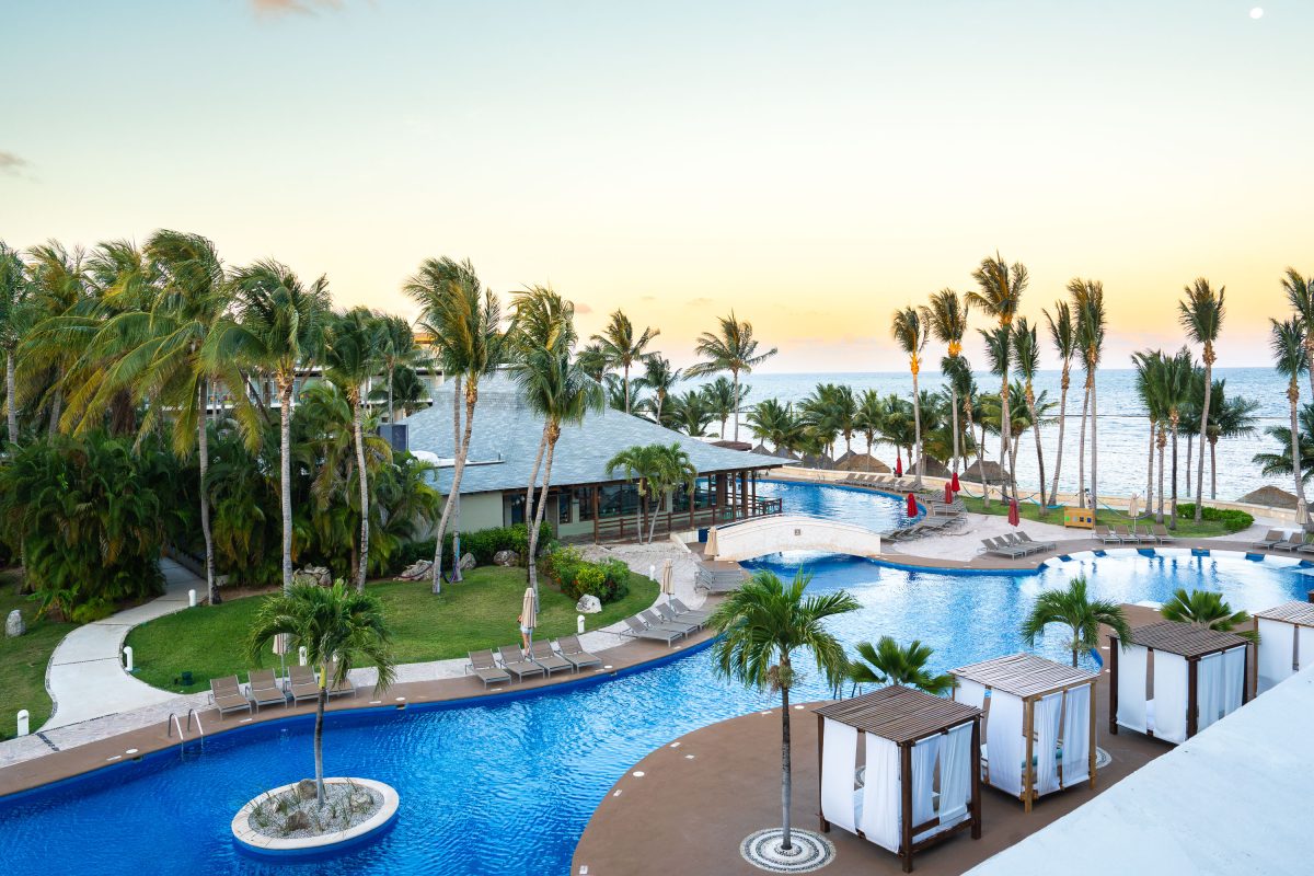
Winding pool complex with palm trees and cabanas at Iberostar Selection Riviera Cancún near the Caribbean coast.
Iberostar Selection Riviera Cancún sits along the Riviera Maya coastline south of Cancún, facing the Caribbean Sea. The property's pool complex includes a winding lazy-river-style pool connecting several sections, with swim-up access near the beachfront palapa bar. Cabanas and lounge chairs line the pool decks for guest use. The resort operates as an all-inclusive property under the Iberostar Hotels & Resorts brand.

Sunrise Over the Pool Complex at Iberostar Selection Riviera Cancún
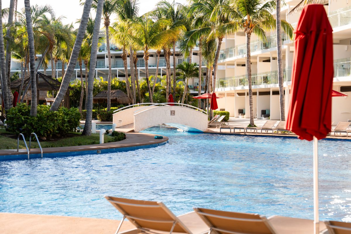
Pool complex with a footbridge and lounge chairs at Iberostar Selection Riviera Cancún resort in Mexico.
Iberostar Selection Riviera Cancún sits along the Riviera Maya coastline in Quintana Roo, Mexico, south of downtown Cancún. Iberostar Group reopened the property in 2023 after a multimillion-dollar renovation that reworked much of the resort's grounds, including a network of connected pools linked by walking bridges. The "Selection" designation marks it as part of Iberostar's upscale all-inclusive tier, distinct from the company's budget and family-branded properties. Guest rooms line multi-story buildings that wrap around the pool complex, a layout common to large-scale Riviera Maya resorts built for high seasonal occupancy.

Footbridge Over the Pool at Iberostar Selection Riviera Cancún
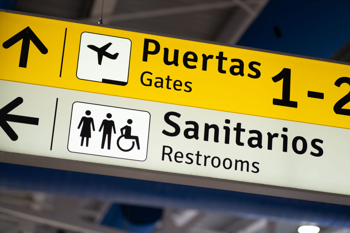
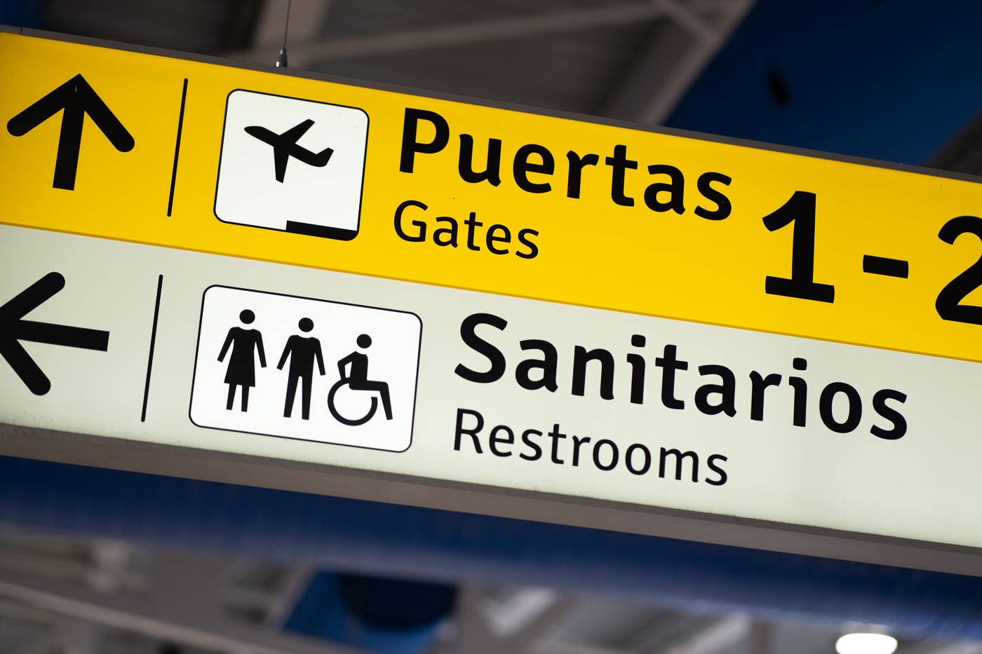
Bilingual directional signs at Puerto Vallarta International Airport display gates and restroom locations with Spanish and English text and accessibility symbols.
Puerto Vallarta International Airport has bilingual directional signs for gates and restrooms. The overhead signs use Spanish and English labels, along with standard pictograms and accessibility symbols, to guide passengers through the terminal.
Bilingual Gate and Restroom Signage at Puerto Vallarta International Airport

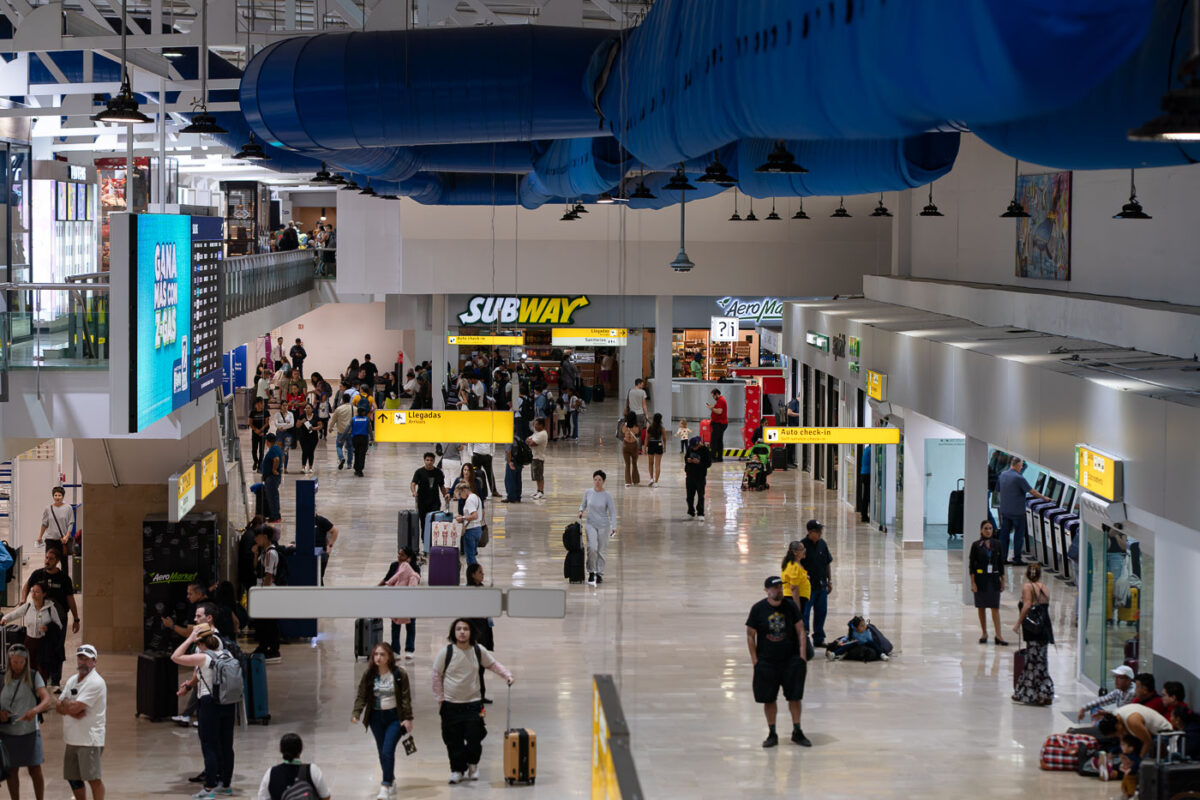
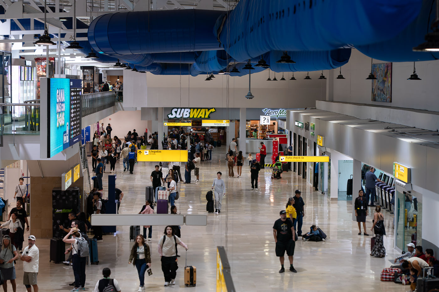
Passengers move through the arrivals hall at Licenciado Gustavo Díaz Ordaz International Airport in Puerto Vallarta, Mexico, with Subway and Aeropuerto retail shops visible.
Licenciado Gustavo Díaz Ordaz International Airport in Puerto Vallarta, Mexico, has a busy arrivals hall with passengers moving past check-in counters and retail shops. Blue ventilation ducts and bilingual wayfinding signs hang over the concourse.

Travelers at Puerto Vallarta’s Licenciado Gustavo Díaz Ordaz Airport
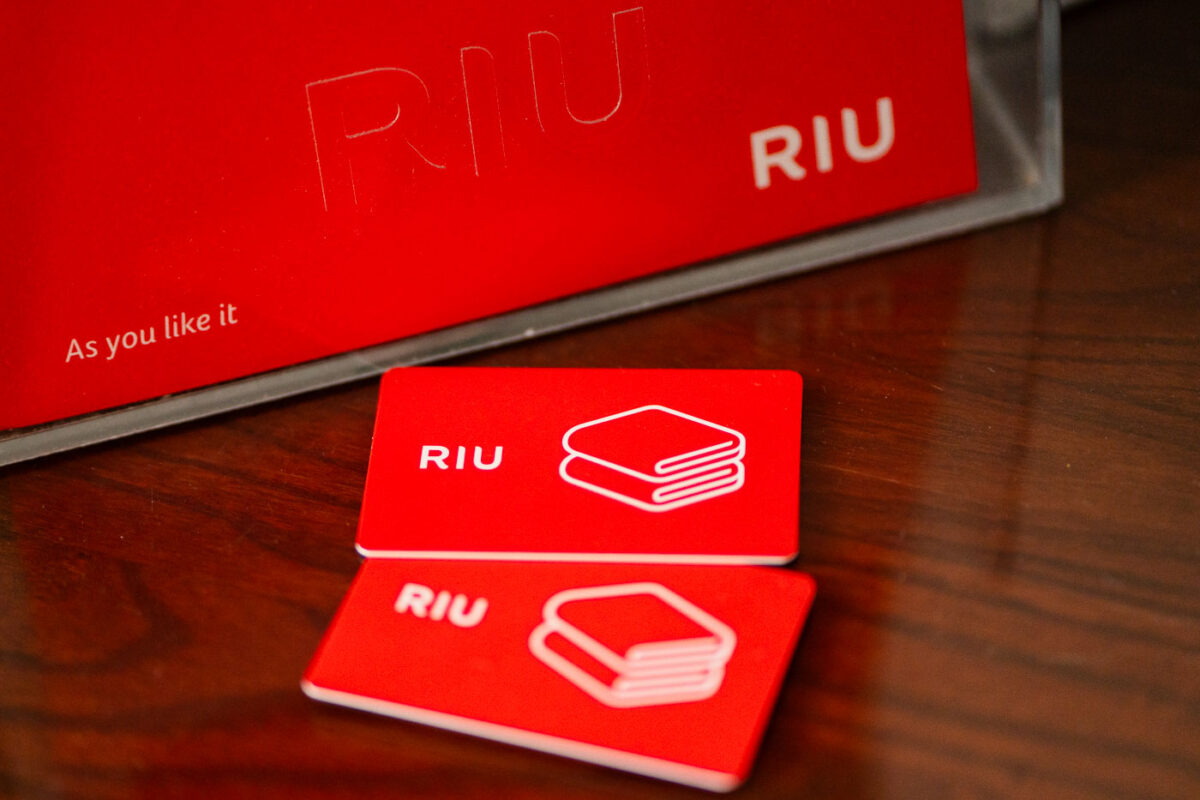
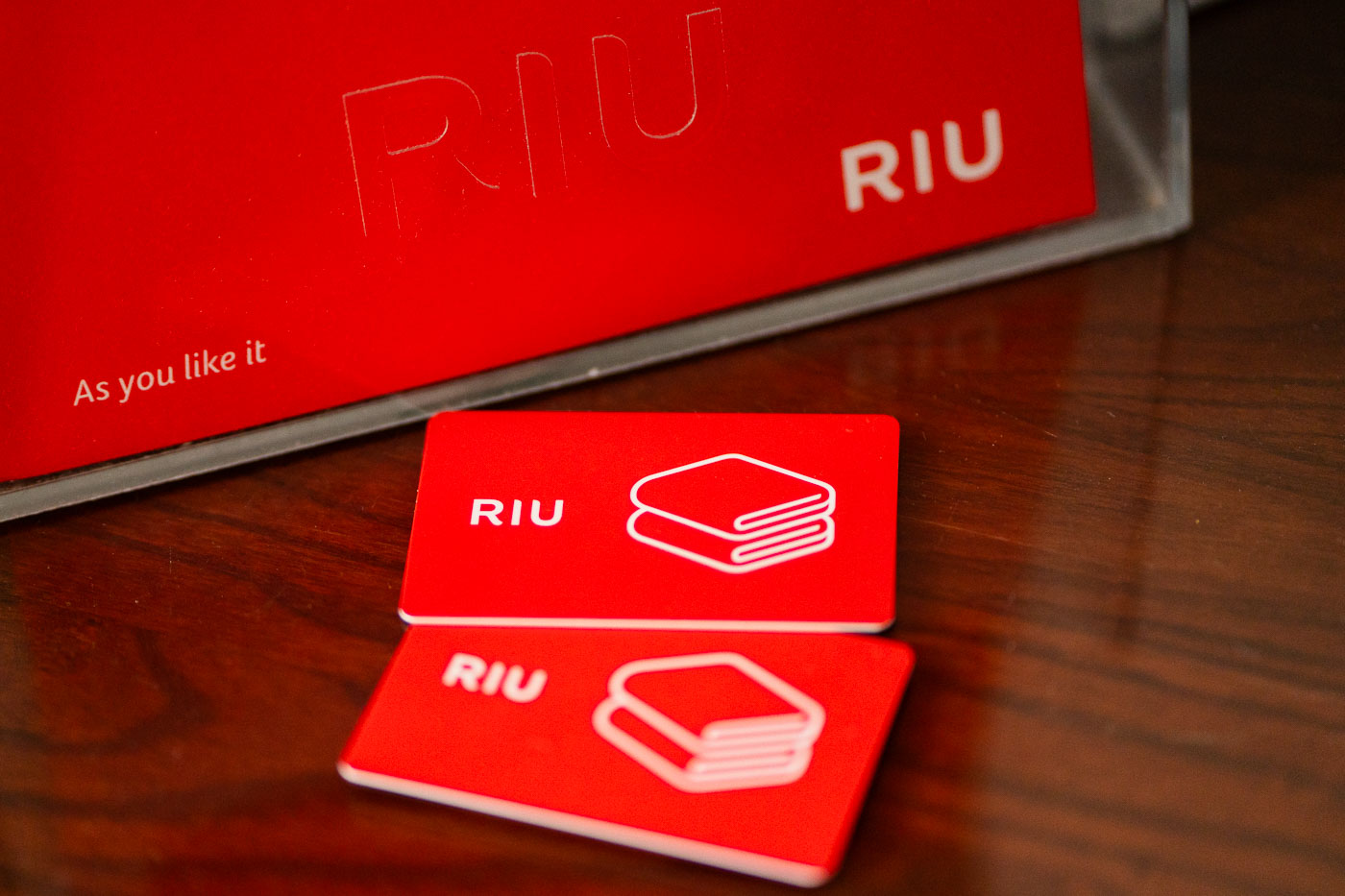
Red RIU resort towel exchange cards with folded towel icons displayed on a wooden table in Puerto Vallarta.
RIU towel cards are arranged on a table at a resort in Puerto Vallarta, Mexico. The red cards and matching holder display the RIU logo and a folded-towel icon used for beach towel exchanges.

Pool Towel Cards at the RIU Resort in Puerto Vallarta
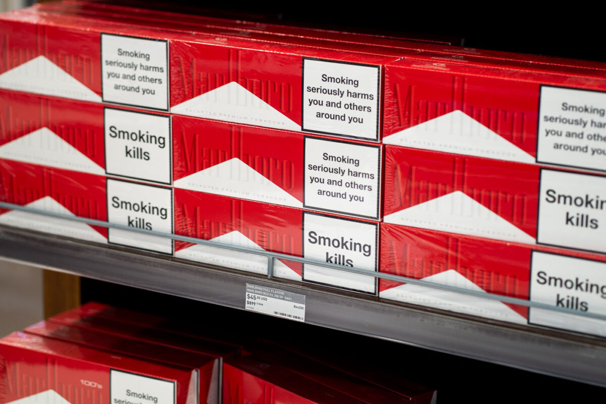
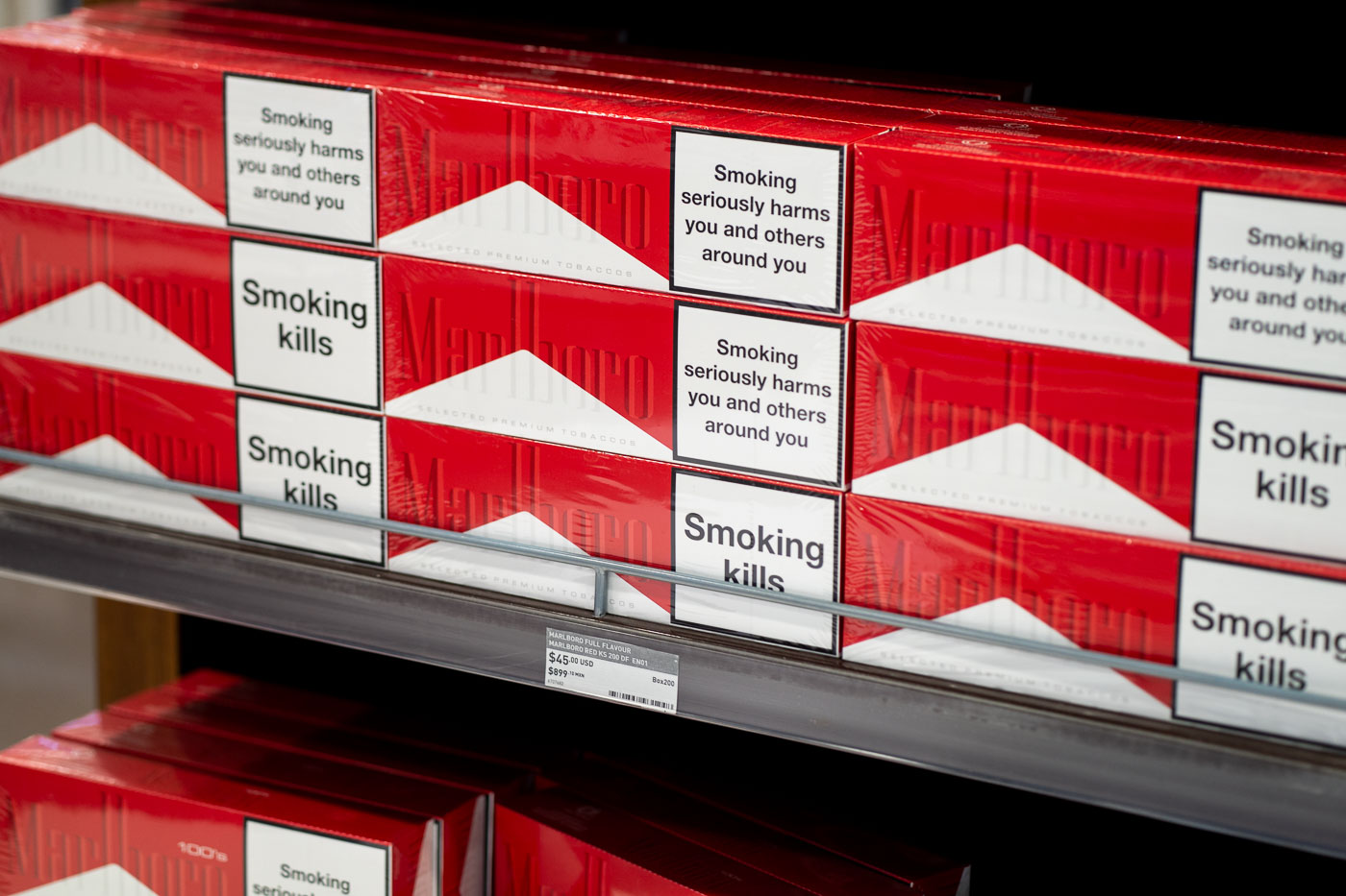
Marlboro cigarette cartons with health warning labels displayed on a shelf in a duty-free shop at Puerto Vallarta International Airport.
Marlboro cigarette cartons are displayed in the duty-free shop at Puerto Vallarta International Airport. The packs carry tobacco warning labels required on cigarette packaging sold in many markets, along with prices in U.S. dollars and Mexican pesos.

Marlboro Packs and “Smoking Kills” Warnings at Puerto Vallarta Duty-Free
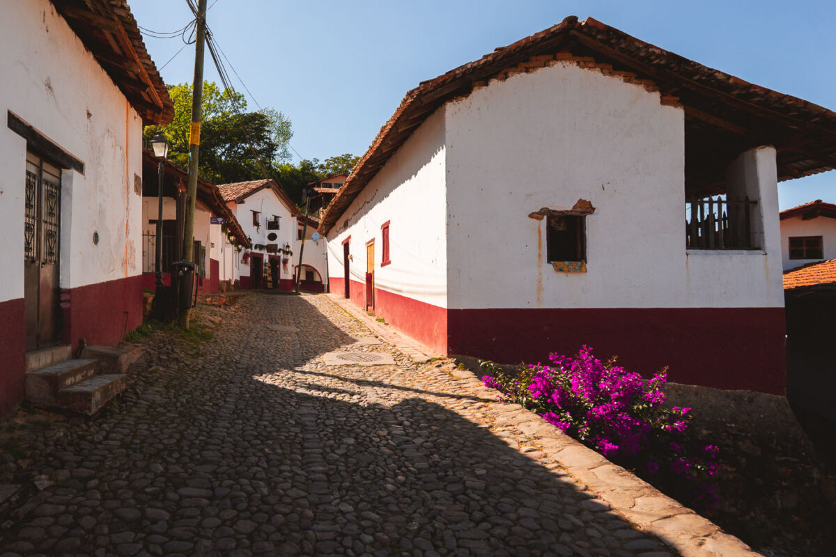
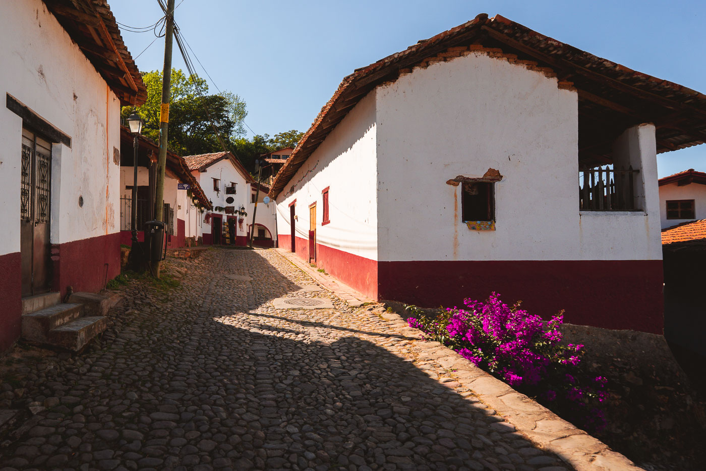
Cobblestone street lined with white-and-red colonial adobe buildings in San Sebastián del Oeste, Jalisco, Mexico.
A cobblestone street runs between adobe buildings in San Sebastián del Oeste, Jalisco, Mexico. The historic mining town is a designated Pueblo Mágico and is known for its preserved colonial-era architecture. Bougainvillea grows beside one of the white-and-red façades.

Bougainvillea Along a Cobblestone Lane in San Sebastián del Oeste
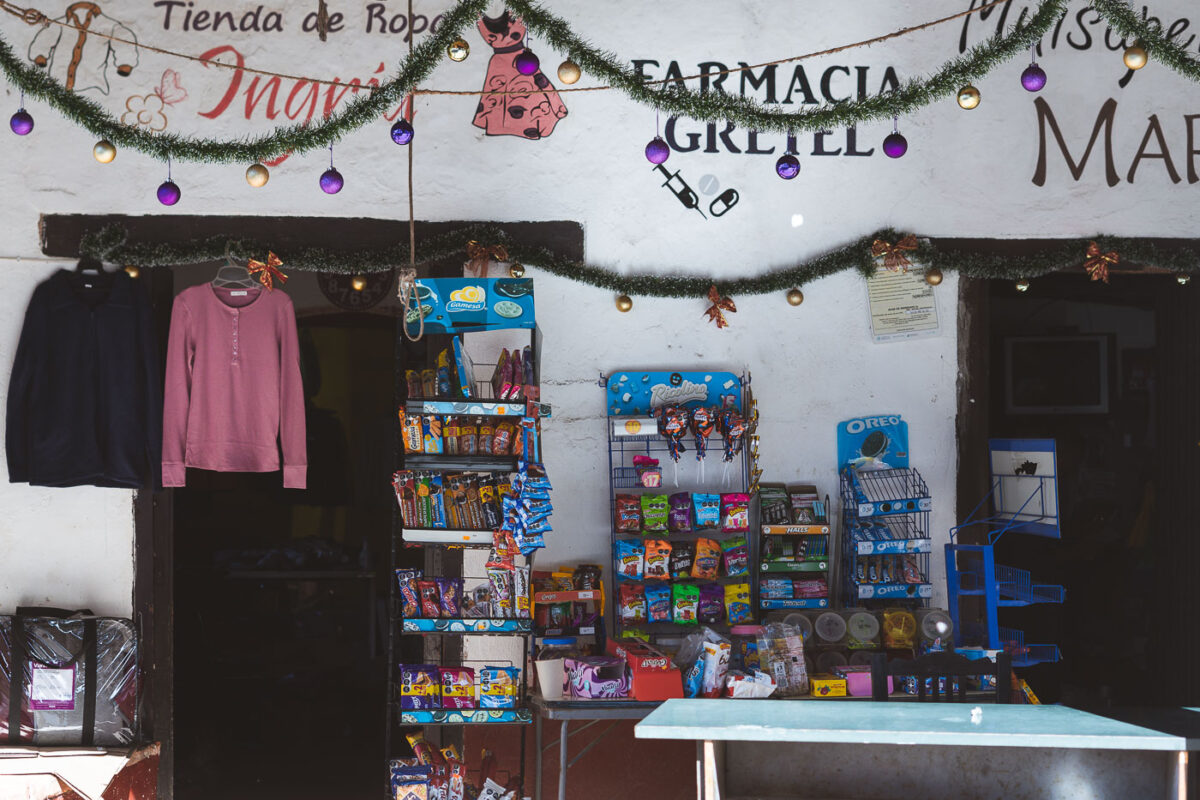
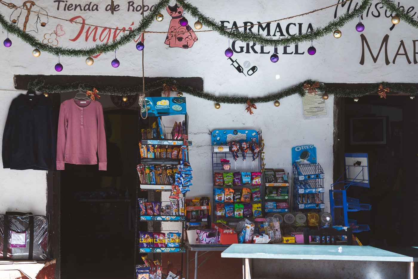
Farmacia Gretel storefront in San Sebastián del Oeste displays clothing, packaged snacks, and household goods beneath Christmas garland and decorations.
Farmacia Gretel and Tienda de Ropa Ingrith operates in San Sebastián del Oeste, Jalisco. The storefront combines a pharmacy and clothing shop and also sells packaged snacks and small household goods.

Holiday Garlands at Farmacia Gretel in San Sebastián del Oeste
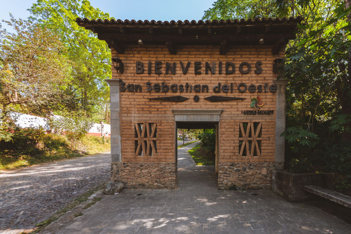
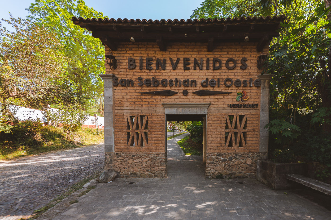
Welcome arch at the entrance to San Sebastián del Oeste, Jalisco, Mexico, designating the town as a Pueblo Mágico.
The welcome arch at the entrance to San Sebastián del Oeste, Jalisco, marks the town’s Pueblo Mágico designation. The brick-and-stone gateway stands beside a narrow path leading into the historic center.

“Bienvenidos” Arch at San Sebastián del Oeste’s Entrance
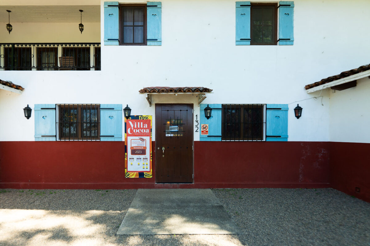
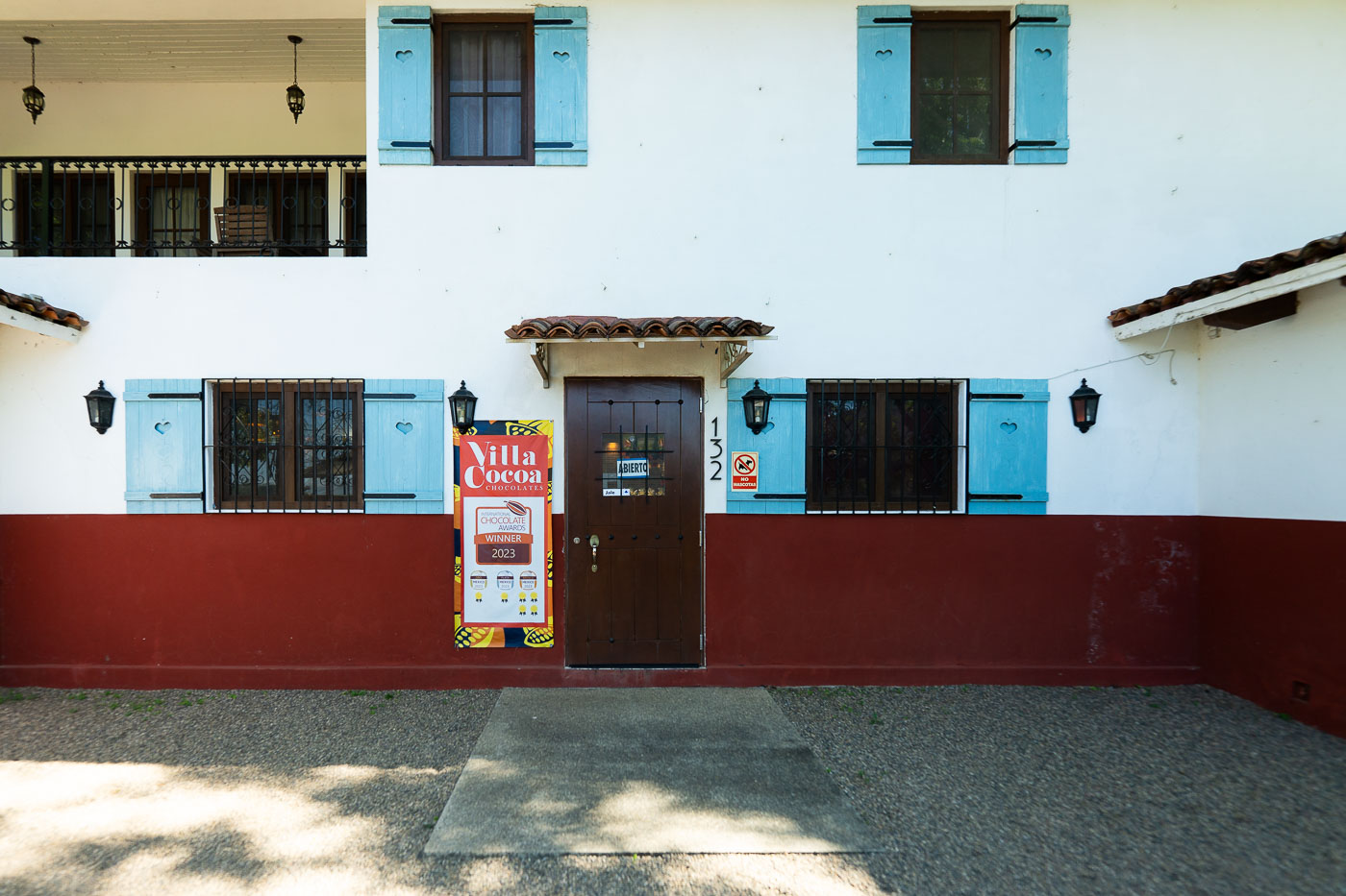
Villa Cocoa Chocolates chocolate factory storefront on Calle 132 in San Sebastián del Oeste, Jalisco, Mexico.
Villa Cocoa Chocolates is a chocolate factory on Calle 132 in San Sebastián del Oeste, Jalisco, Mexico. The shop operates from a white-and-red stucco building with blue shutters and a central entrance marked by signage noting its 2023 International Chocolate Awards recognition.

Villa Cocoa’s Award-Winning Storefront in San Sebastián del Oeste
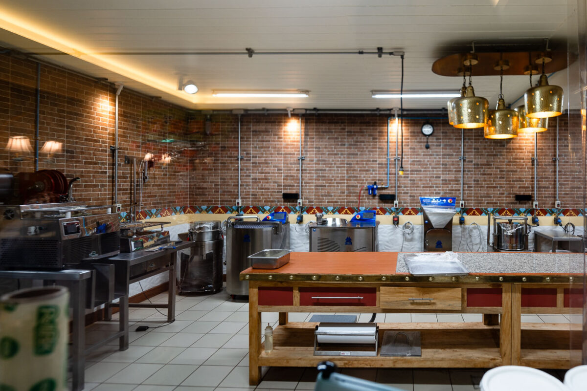
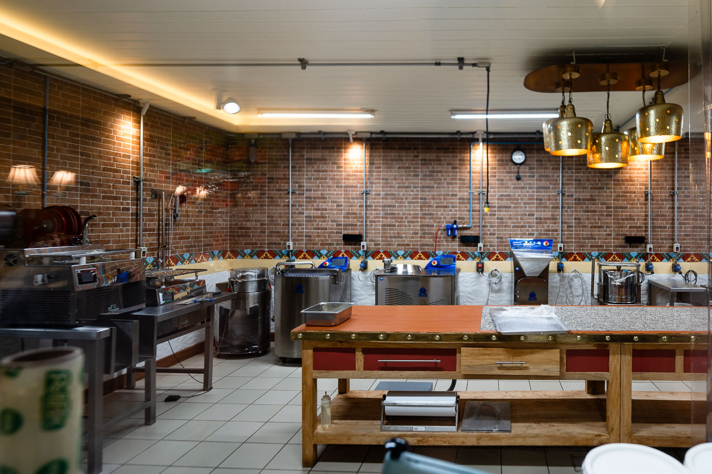
Villa Cocoa chocolate factory production room in San Sebastián del Oeste, Mexico, with equipment, worktables, and copper pendant lights.
Villa Cocoa chocolate factory in San Sebastián del Oeste, Jalisco, Mexico. The production room contains chocolate-making equipment, worktables, and processing machines used for small-batch confectionery production.

Inside the Production Room at Villa Cocoa
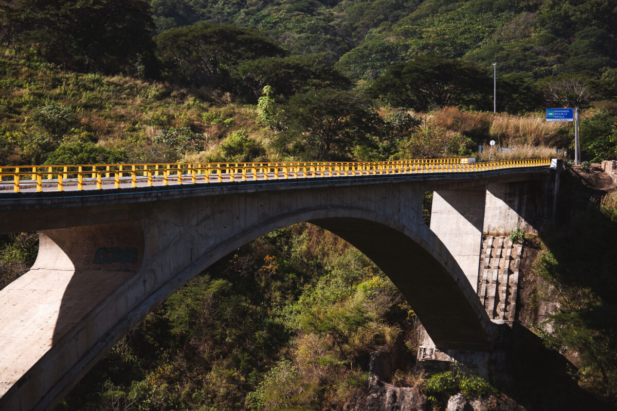
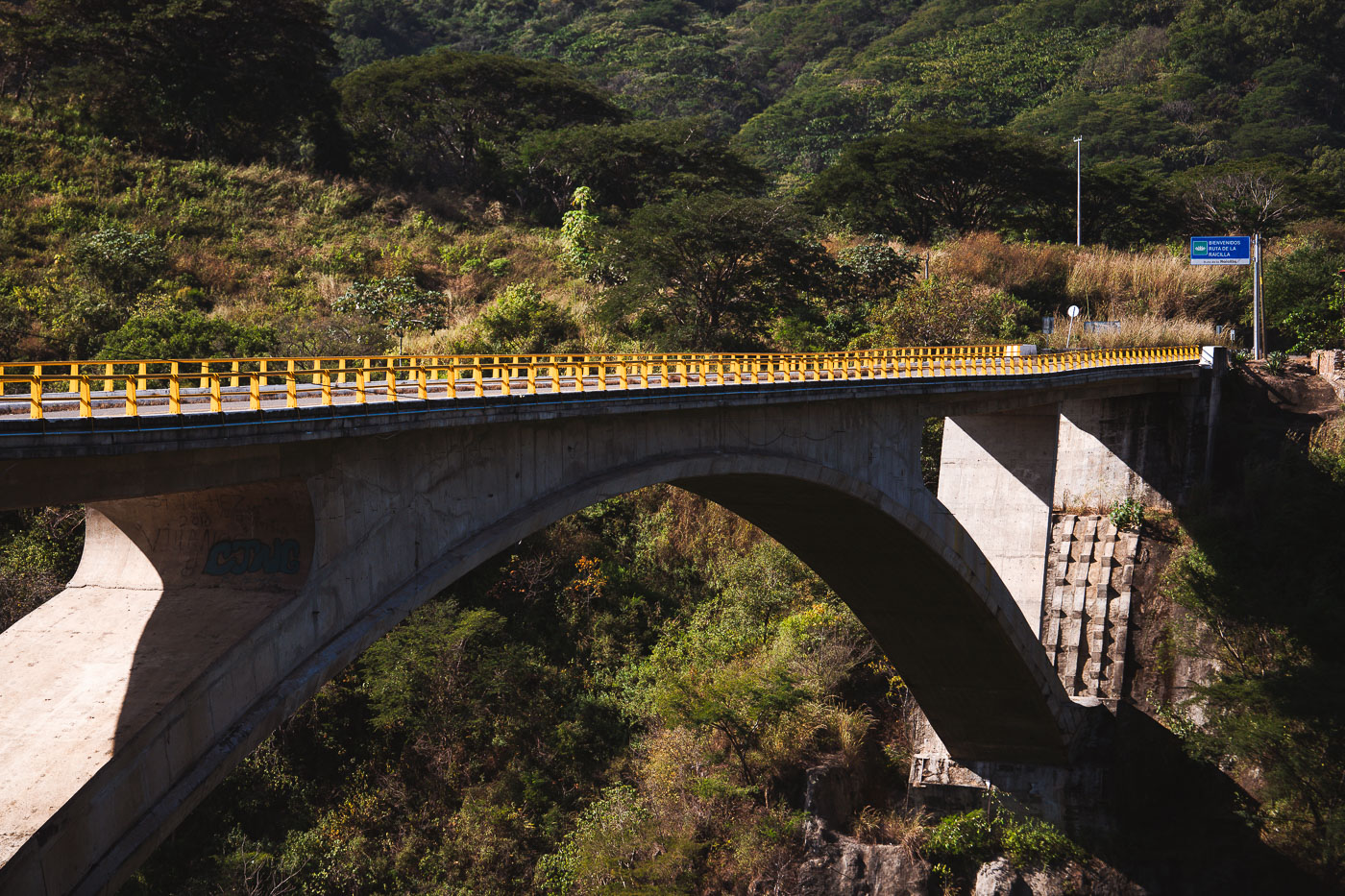
Progreso Bridge, a concrete arch spanning a forested ravine on Mexico's Jalisco-Nayarit border, features yellow safety railings and a blue roadside sign.
Progreso Bridge spans a deep ravine on the Jalisco-Nayarit border in Mexico. The concrete arch carries traffic between the Puerto Vallarta area and Riviera Nayarit, and a roadside sign marks the Ruta de la Raicilla.

Progreso Bridge’s Concrete Arch Spanning a Jalisco Ravine
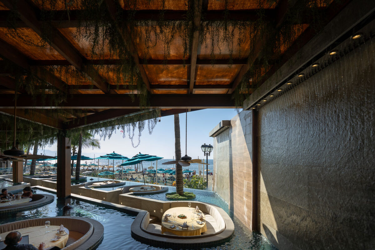
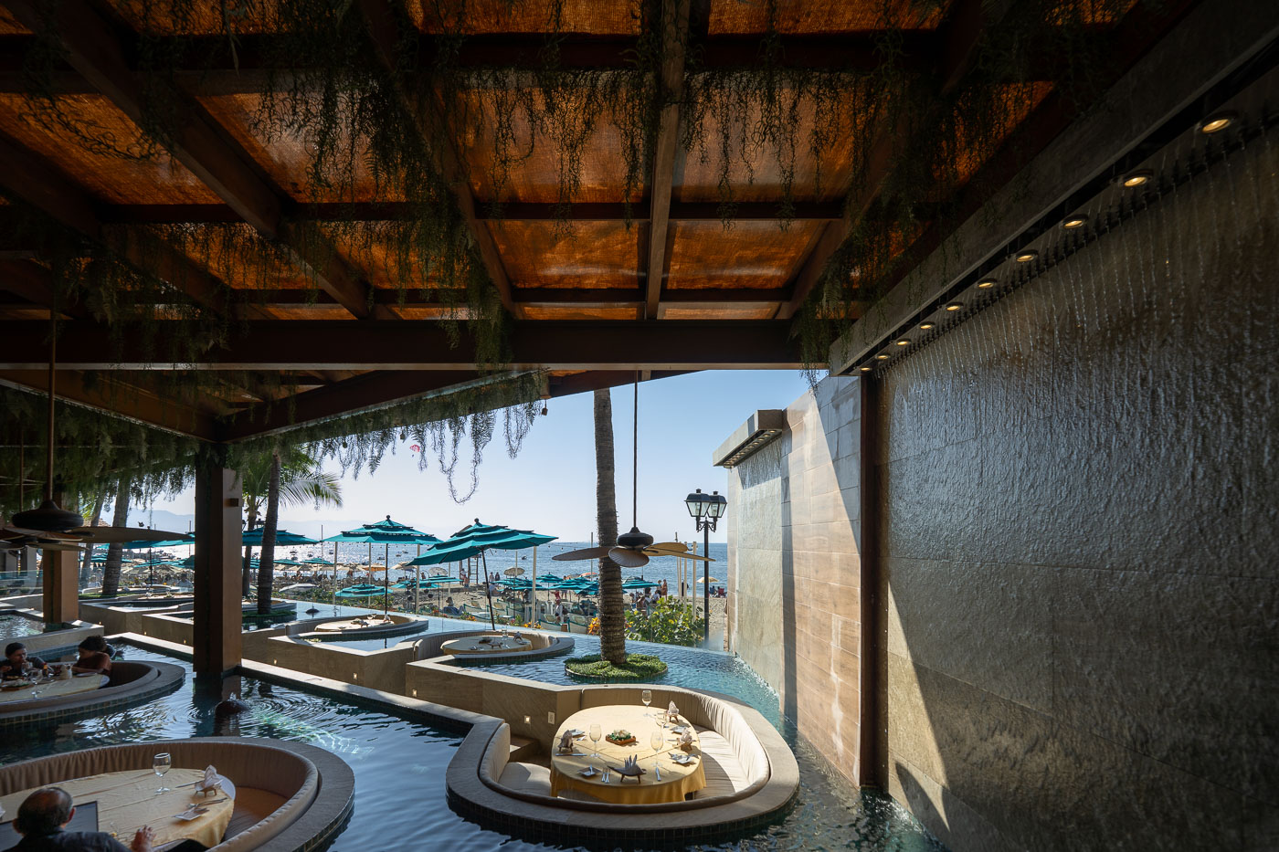
A beachfront restaurant terrace in Puerto Vallarta features integrated water pools, cascading wall features, and covered dining areas overlooking Banderas Bay.
A beachfront restaurant in Puerto Vallarta’s Zona Romántica features integrated pools, a cascading water wall, and open-air dining areas. The property sits beside the beach and uses water features throughout the terrace and seating areas.

Water-Pool Dining Terrace at a Zona Romántica Beach Restaurant
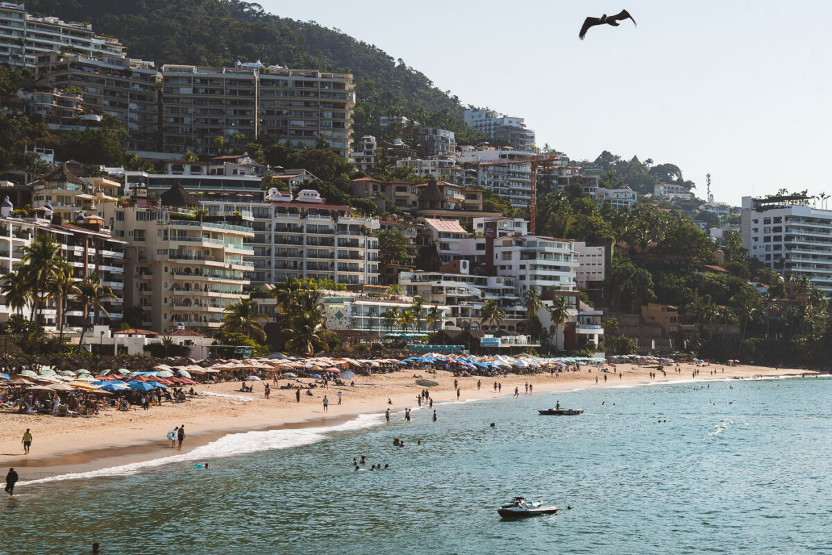
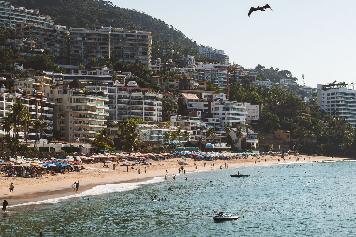
Playa de los Muertos beach in Puerto Vallarta's Zona Romántica with hillside hotels, swimmers, and a person paragliding overhead.
Playa de los Muertos in Puerto Vallarta's Zona Romántica fronts a dense hillside of hotels and condominiums along Banderas Bay. The beach is one of the city's best-known public waterfronts and is served by the Los Muertos Pier at its southern end.

Hillside Hotels Overlooking Playa de los Muertos in Puerto Vallarta
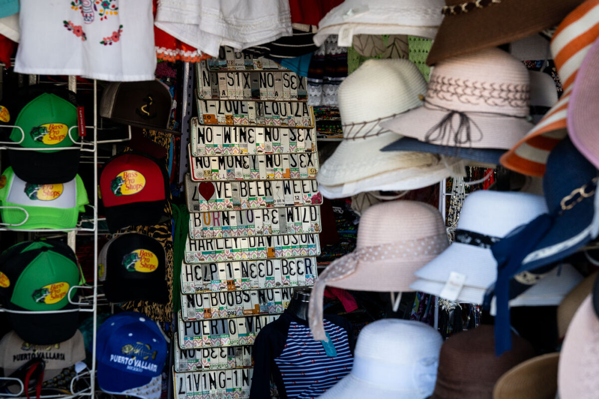
A souvenir stall in Puerto Vallarta displays decorative signs made from repurposed Mexican license plates with humorous phrases alongside stacked white and colored baseball caps.
A souvenir stall in Puerto Vallarta sells decorative items made from repurposed Mexican license plates alongside hats and caps. The license plate signs carry short phrases and place names, while several caps feature Bass Pro Shops branding.

Novelty License Plate Signs at a Puerto Vallarta Market Stall

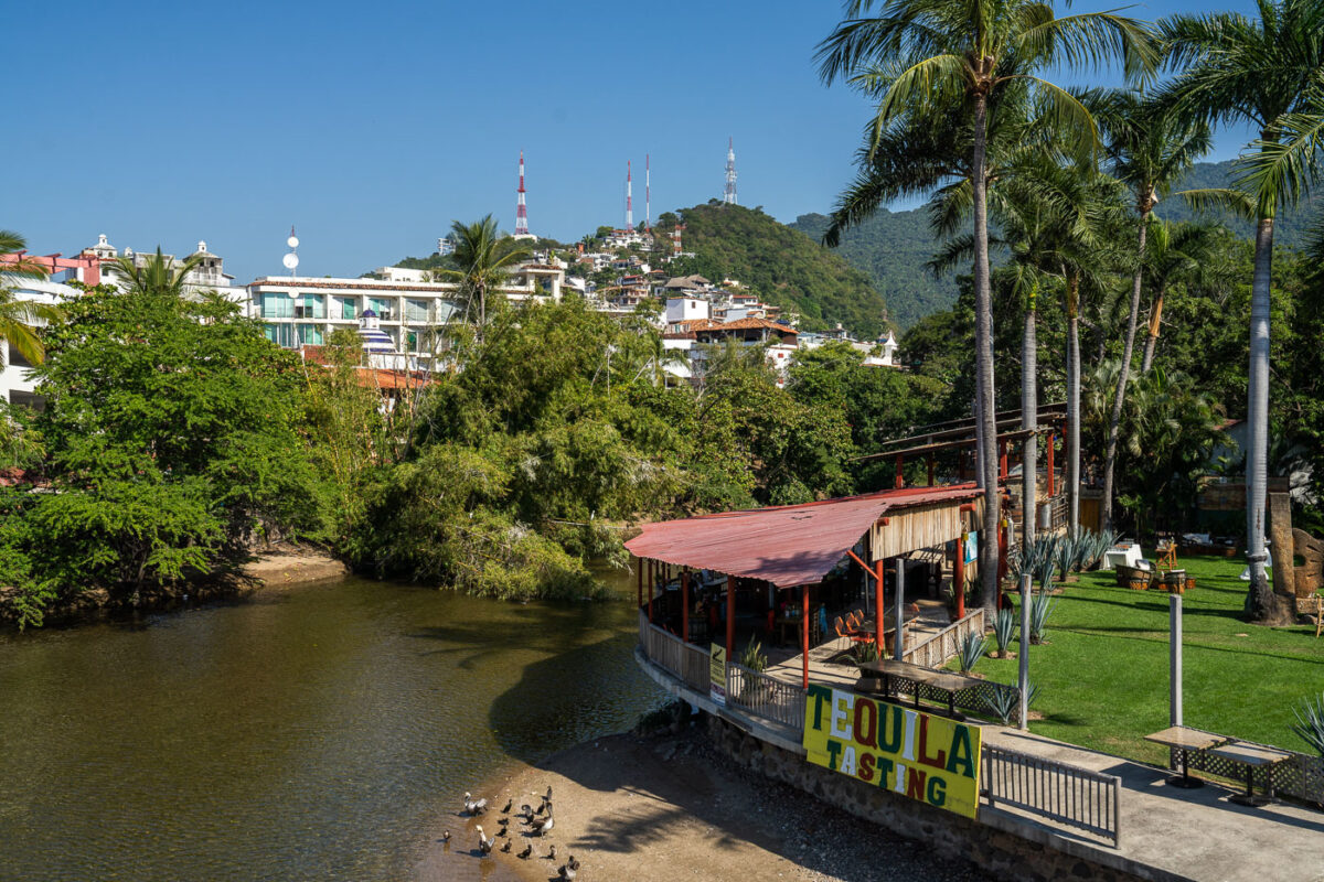
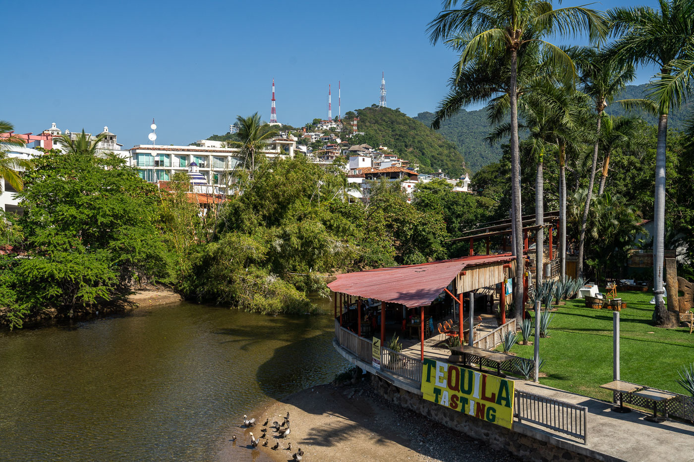
A tequila bar with red roof stands on the Cuale River waterfront in Puerto Vallarta, Mexico, with hillside neighborhoods visible beyond.
A tequila tasting bar stands beside the Cuale River in Puerto Vallarta, Jalisco, with hillside neighborhoods and communications towers beyond. The riverside setting is part of the city's tourist district near the downtown and Malecón area.

Riverside Tequila Bar Along the Río Cuale in Puerto Vallarta

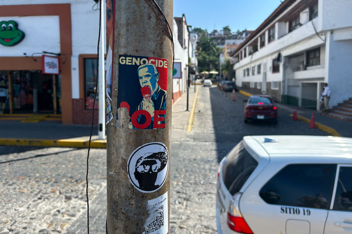
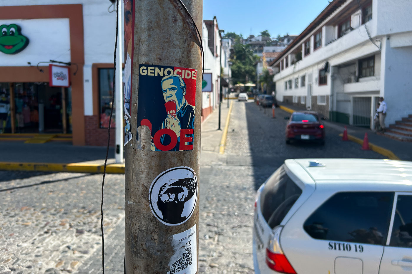
Political stickers on a street pole in Puerto Vallarta, Mexico, including messages addressing Joe Biden and the word "GENOCIDE."
A street pole in Puerto Vallarta, Mexico, is covered with political stickers, including one that targets Joe Biden and another with the word “GENOCIDE.” The pole stands along a cobblestone street lined with whitewashed buildings and small storefronts.

“Genocide Joe” Sticker on a Puerto Vallarta Street Pole

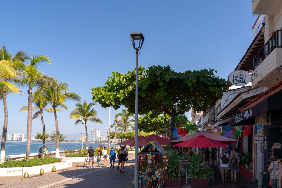
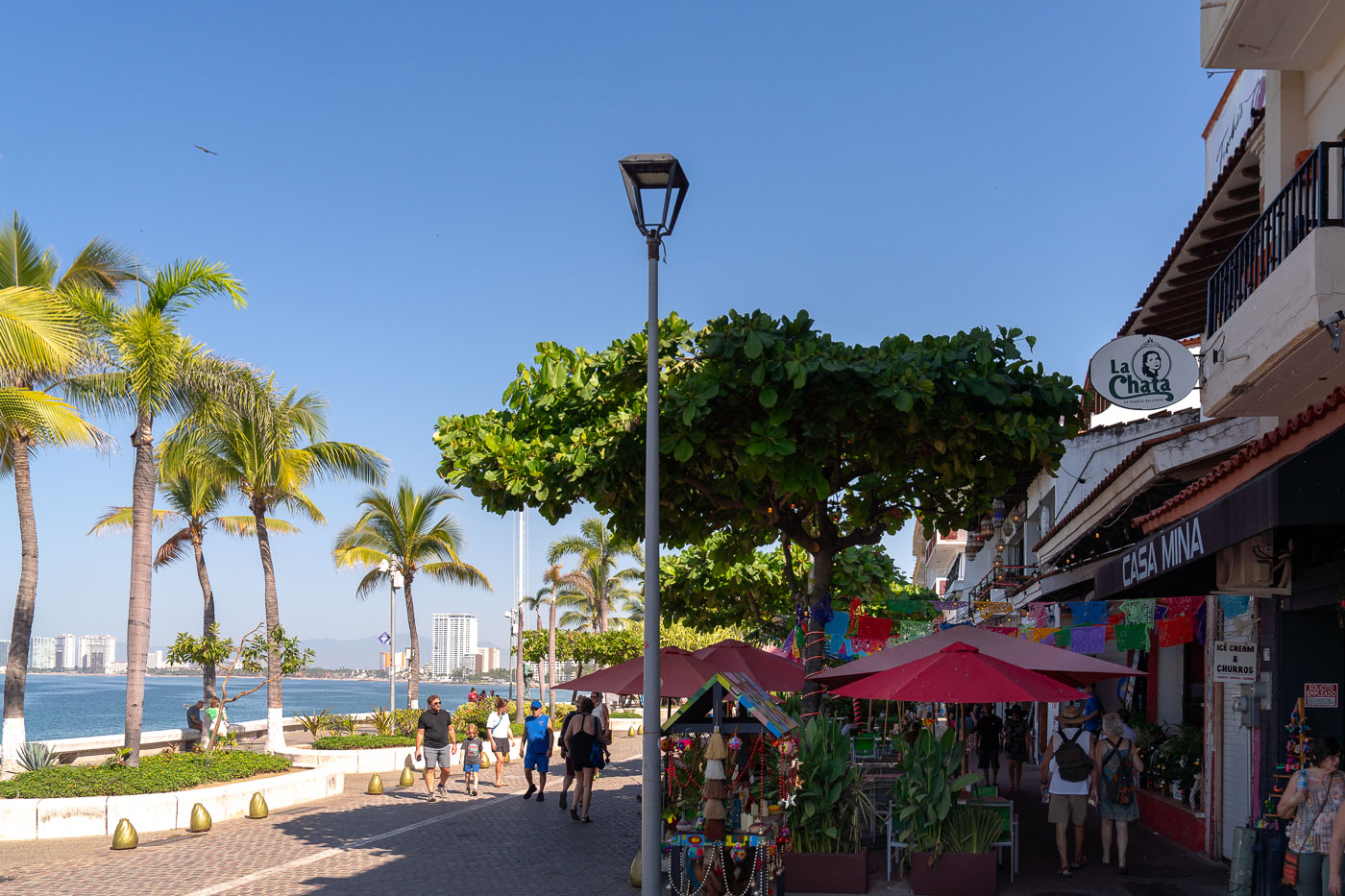
Pedestrians stroll along the Puerto Vallarta Malecón promenade with palm trees, shops, and Banderas Bay visible.
The Puerto Vallarta Malecón in Jalisco, Mexico, runs along Banderas Bay beside shops and restaurants. Palm trees, pedestrian paths, and waterfront planters line the promenade, which is a major public walkway in the city’s Centro district.

Casa Mina and La Chata Along the Puerto Vallarta Malecón

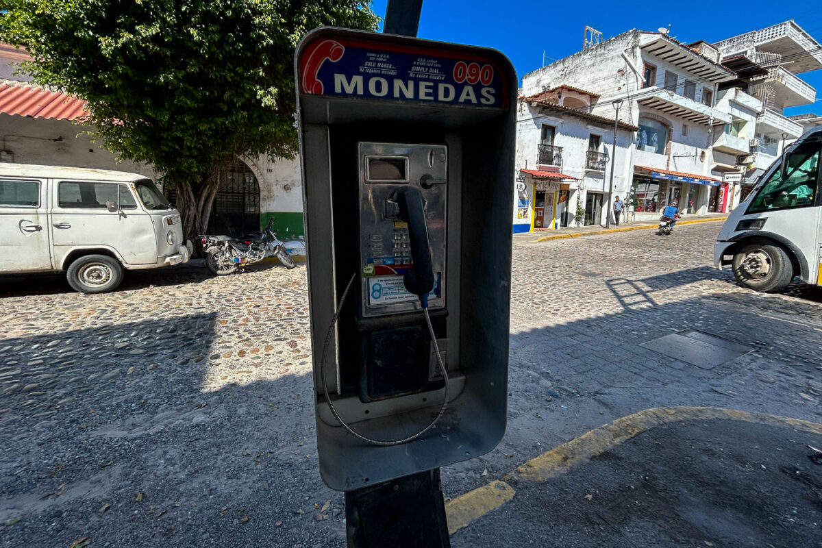
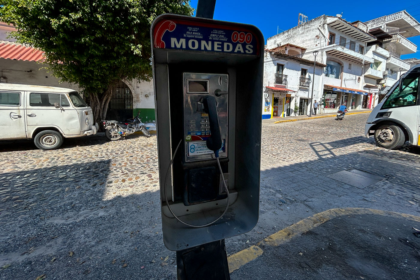
A coin-operated payphone marked "Monedas 090" stands on Calle Hidalgo in Puerto Vallarta, Mexico.
A coin-operated payphone marked “Monedas 090” stands on Calle Hidalgo in Puerto Vallarta, Mexico. The payphone is a remnant of public telephone service in a city where mobile communication has long since replaced coin-operated booths for most users.

Coin-Operated “Monedas” Payphone in Puerto Vallarta

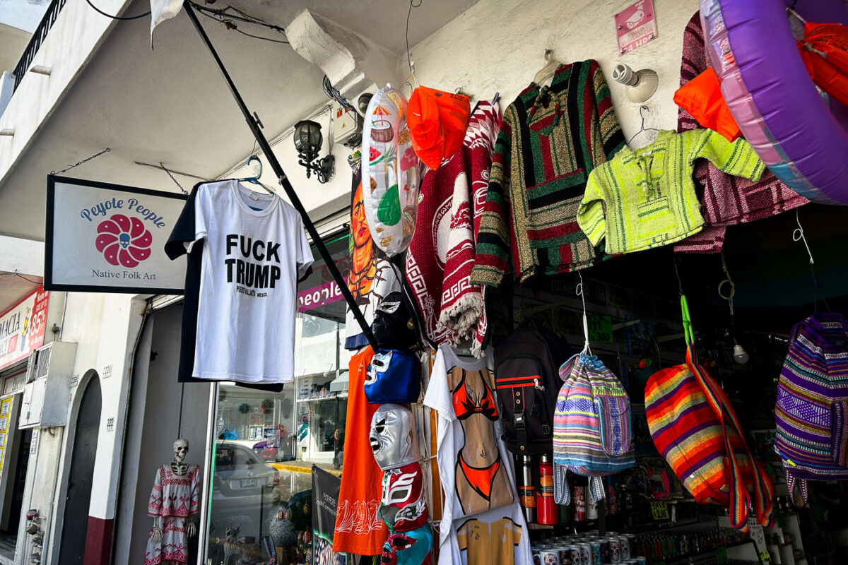
Peyote People Native Folk Art storefront in Puerto Vallarta displays hanging merchandise including woven textiles, graphic t-shirts, and decorative masks.
Peyote People Native Folk Art in Puerto Vallarta, Mexico, sells embroidered clothing, masks, and souvenir items from a storefront on a tourist street. Hanging merchandise includes woven garments and graphic T-shirts, among them one with anti-Trump text.

“Fuck Trump” T-Shirt at Peyote People in Puerto Vallarta

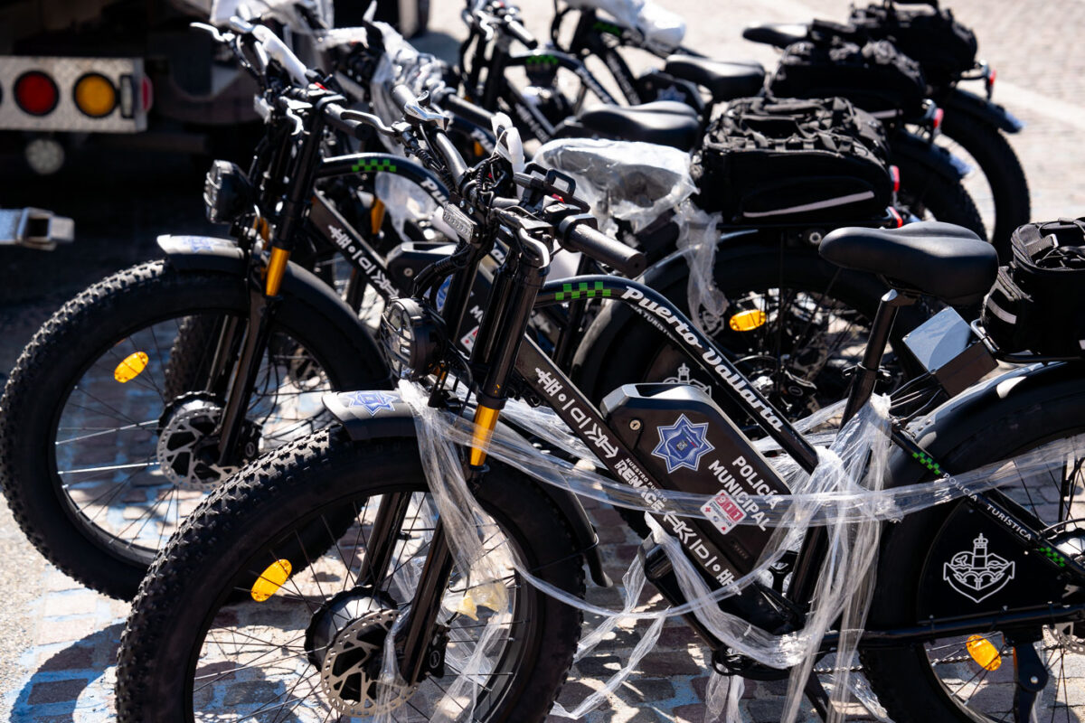
Puerto Vallarta municipal police electric fat-tire bicycles marked Policía Turística lined up for deployment.
Puerto Vallarta municipal police electric bicycles are lined up for deployment in Puerto Vallarta, Jalisco, Mexico. The fat-tire bikes are marked Policía Turística and the city emblem, use by the tourist police for patrols in pedestrian areas.

Fleet of Policía Turística E-Bikes in Puerto Vallarta

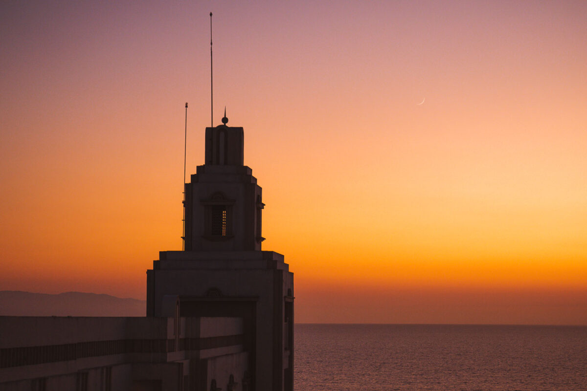
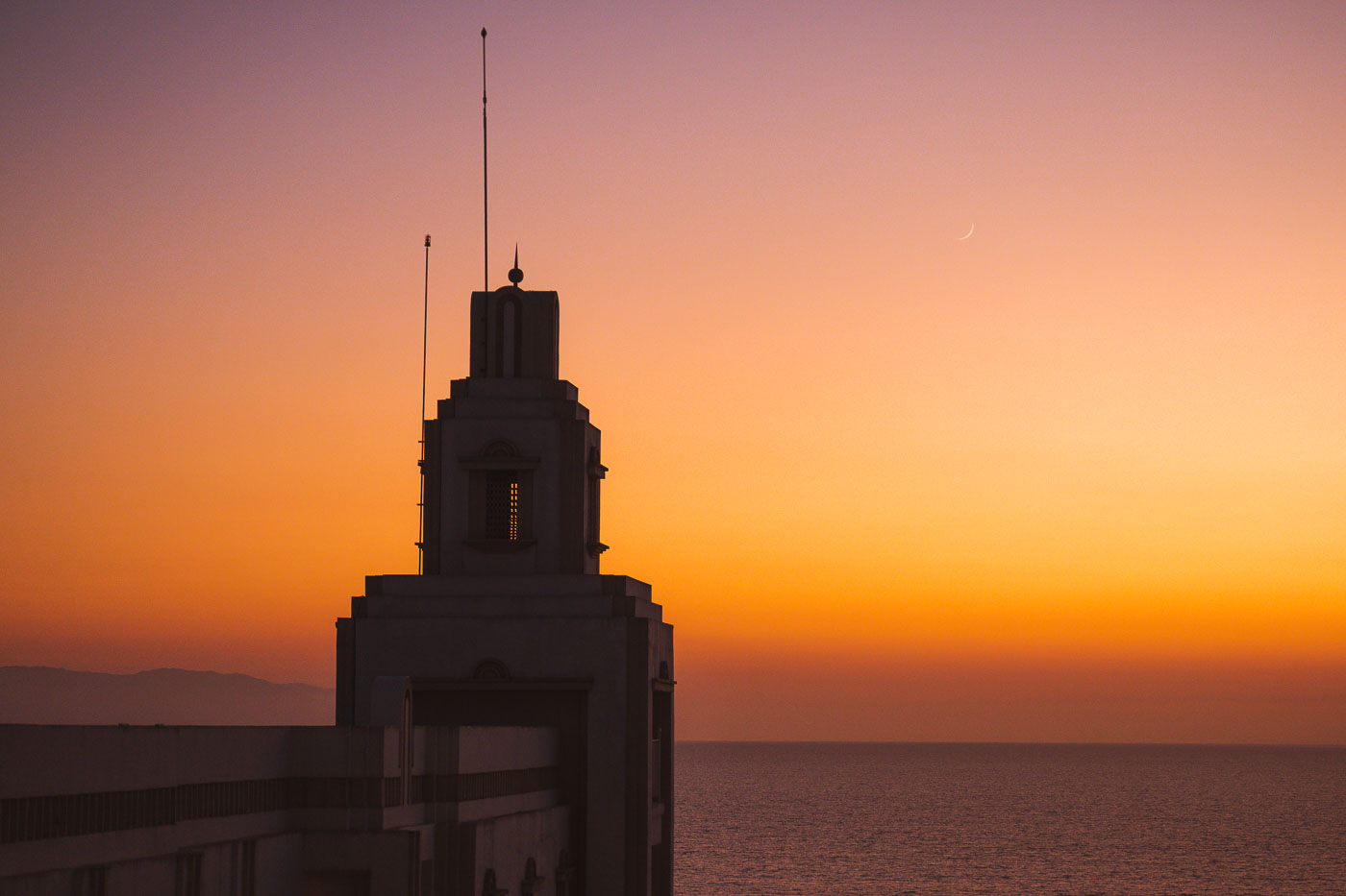
Silhouette of Riu Palace Pacifico's Art Deco tower at sunset overlooking Banderas Bay in Puerto Vallarta, Mexico.
Riu Palace Pacifico stands along the coast in Puerto Vallarta, Mexico, overlooking Banderas Bay and the Pacific Ocean. The resort opened in 2007 and is known for its Art Deco-inspired tower.

Riu Palace Pacifico Tower at Sunset, Puerto Vallarta

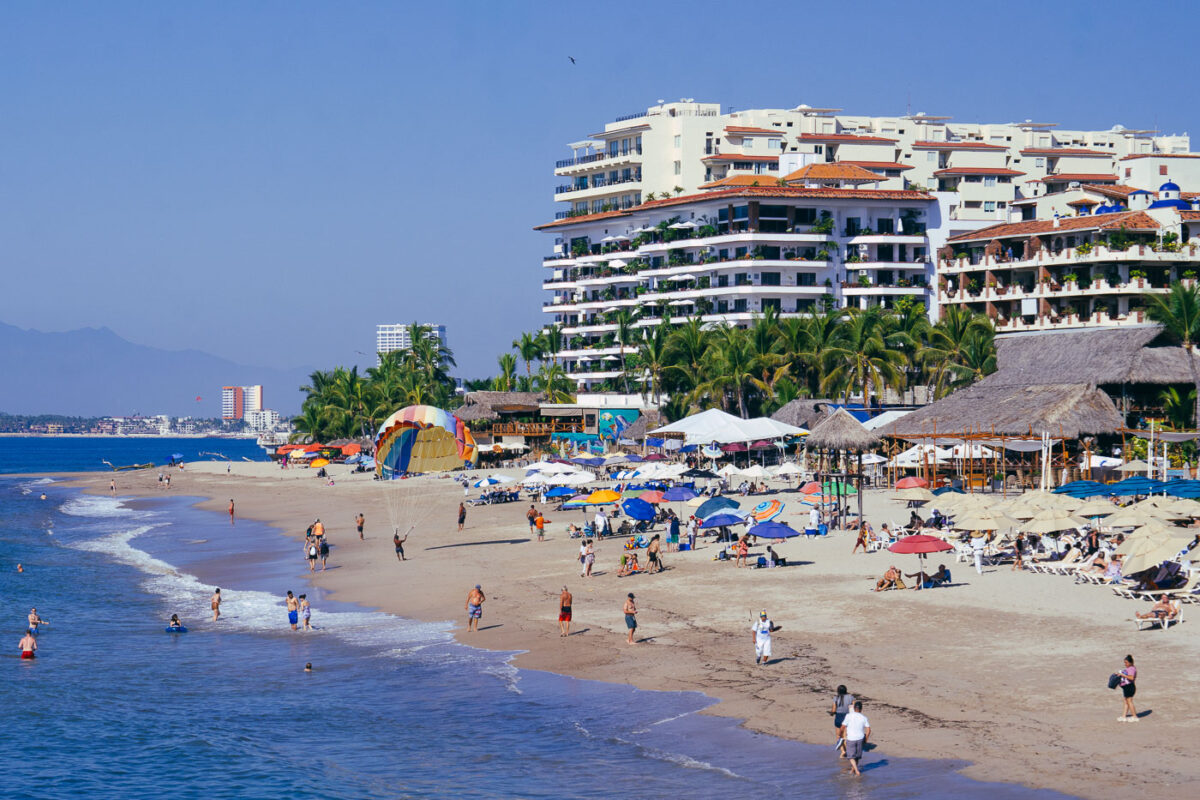
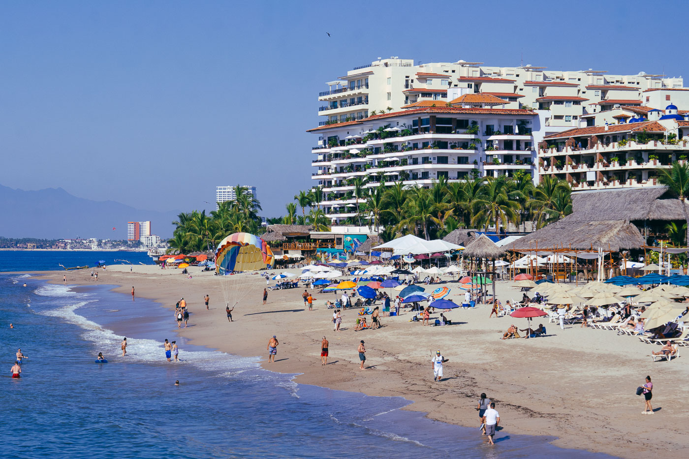
Beachgoers swim and relax on Playa de los Muertos beach in Puerto Vallarta with high-rise resort hotels rising behind palm trees.
Playa de los Muertos in Puerto Vallarta is lined with resort hotels, beach clubs, and restaurants along Bahía de Banderas. It sits beside the Zona Romántica and is one of the city’s busiest public beaches.
Beachgoers and Palapa Umbrellas at Playa de los Muertos
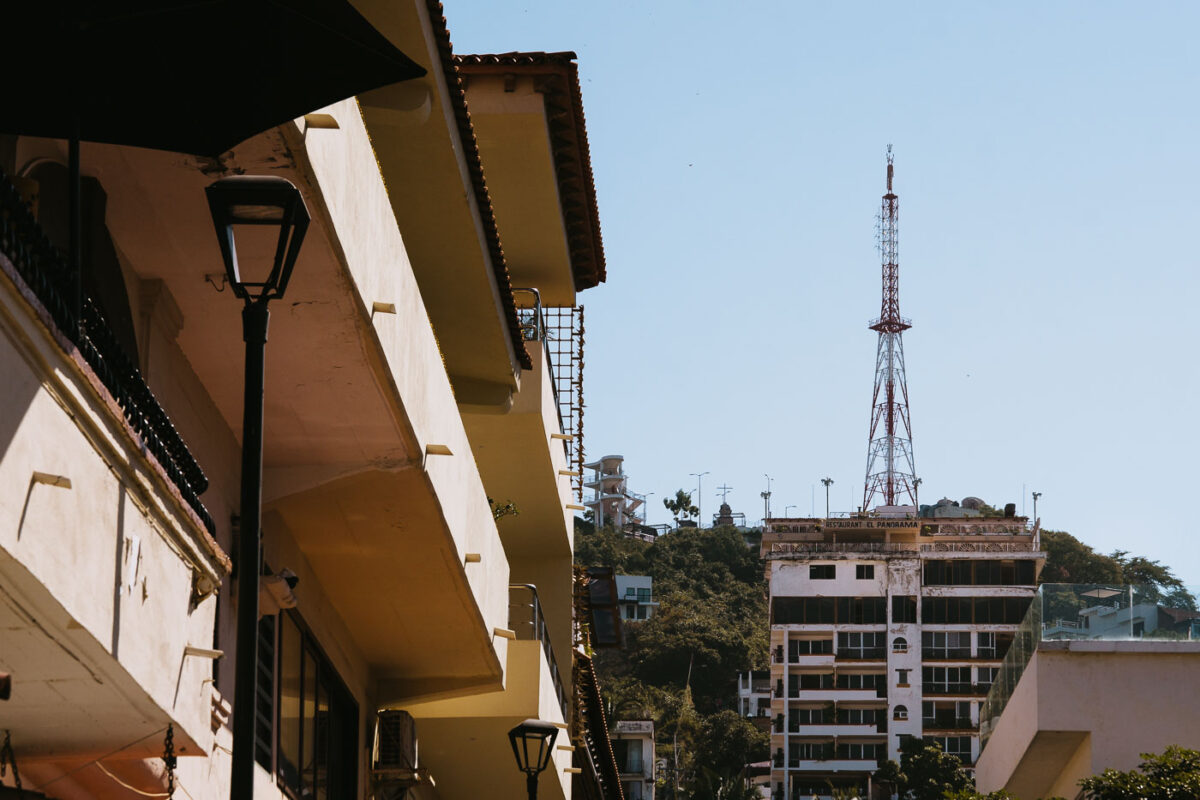
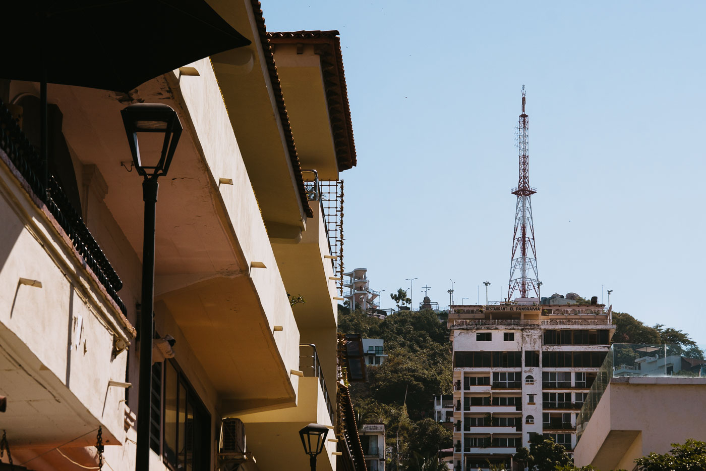
Restaurante El Panorama building stands on a hillside in Puerto Vallarta with a communications tower rising behind it.
Restaurante El Panorama stands on a hillside in Puerto Vallarta’s Zona Romántica beneath a tall communications tower. The restaurant occupies a multi-story building above surrounding residential and commercial structures on the slope.

Hillside Communications Tower Above Puerto Vallarta’s Zona Romántica
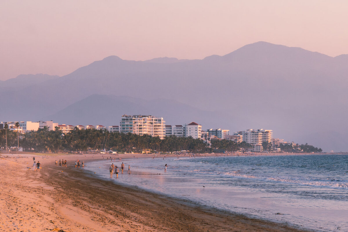
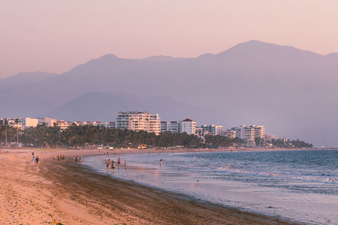
Beachfront hotels line Nuevo Vallarta beach with the Sierra Madre Occidental mountains rising in the background at sunset.
Beachfront hotels in Nuevo Vallarta, Nayarit, line the coast near the Pacific shoreline. The Sierra Madre Occidental rises behind the resort strip, and the area is part of the Riviera Nayarit tourism corridor north of Puerto Vallarta.

Sunset Walk Along the Beach in Nuevo Vallarta
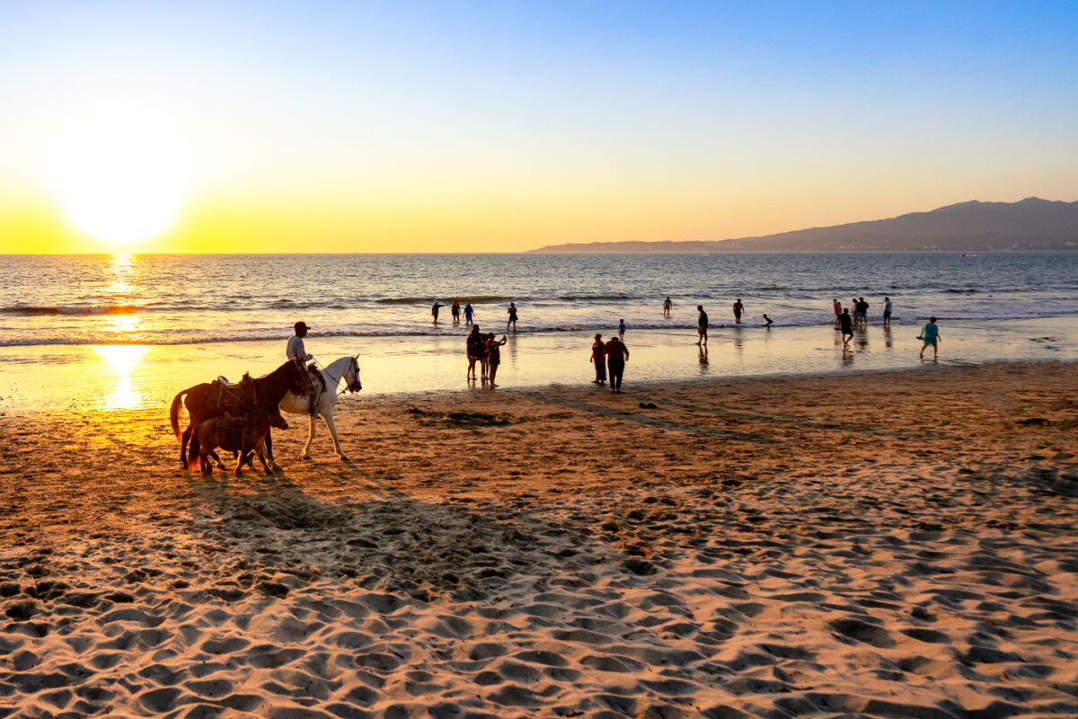
A horseman rides a horse along a beach in Puerto Vallarta, Mexico at sunset, with swimmers and beachgoers in the water and Sierra Madre mountains visible across Banderas Bay.
A beach in Puerto Vallarta, Jalisco, Mexico, has horseback rides along the shoreline at sunset. Beachgoers wade in the Pacific surf, with the Sierra Madre mountains across Banderas Bay.

Sunset Horseback Ride Along the Shore in Puerto Vallarta
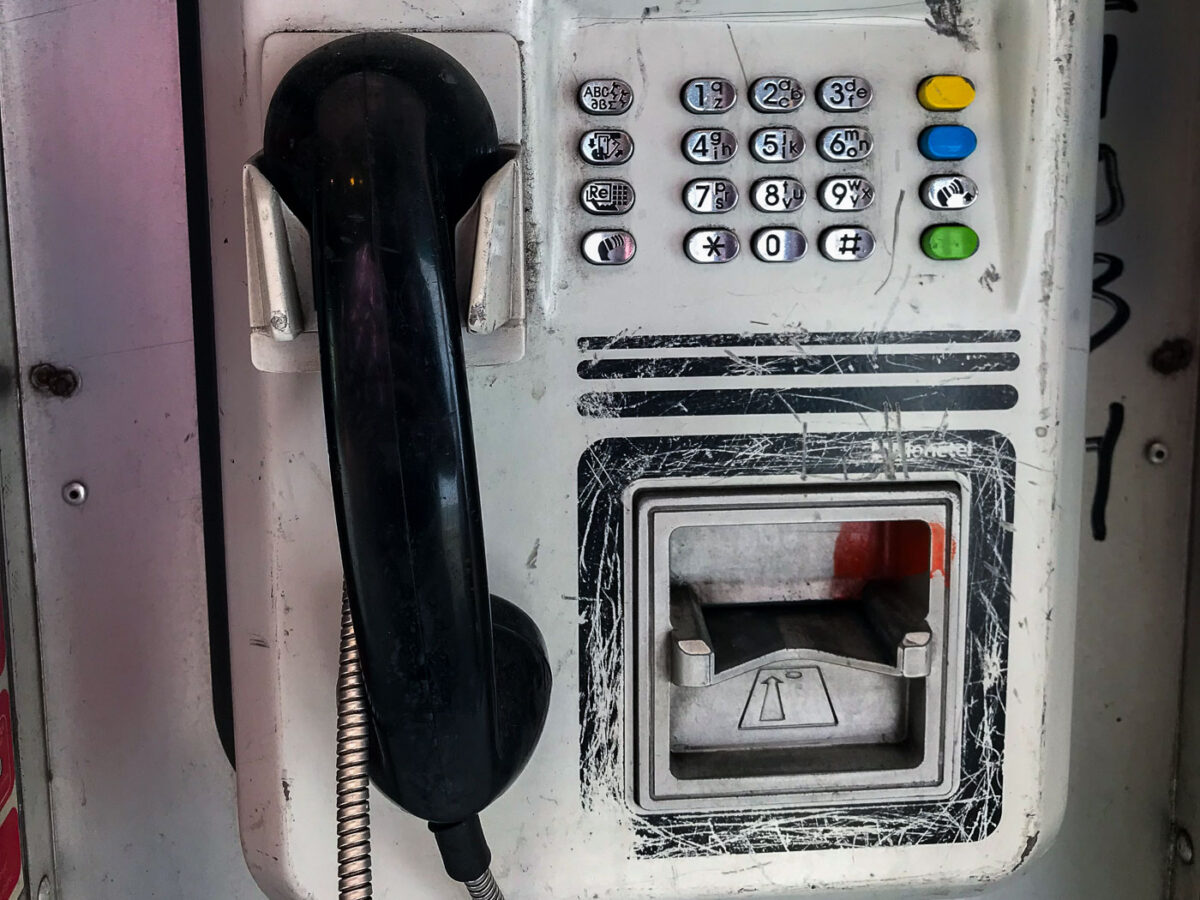
A weathered Telmex pay phone, a common sight in Mexico City, stands as a symbol of past public communication before the prevalence of mobile phones.
This image shows a Telmex pay phone, a common sight in Mexico City for decades. These public telephones were essential for communication before the widespread adoption of mobile phones. Telmex, the telecommunications company, operated a vast network of these booths, providing a vital service for residents and visitors alike. While their numbers have dwindled due to technological advancements, they remain a symbol of a past era of public connectivity.

Telmex Pay Phone, Mexico City

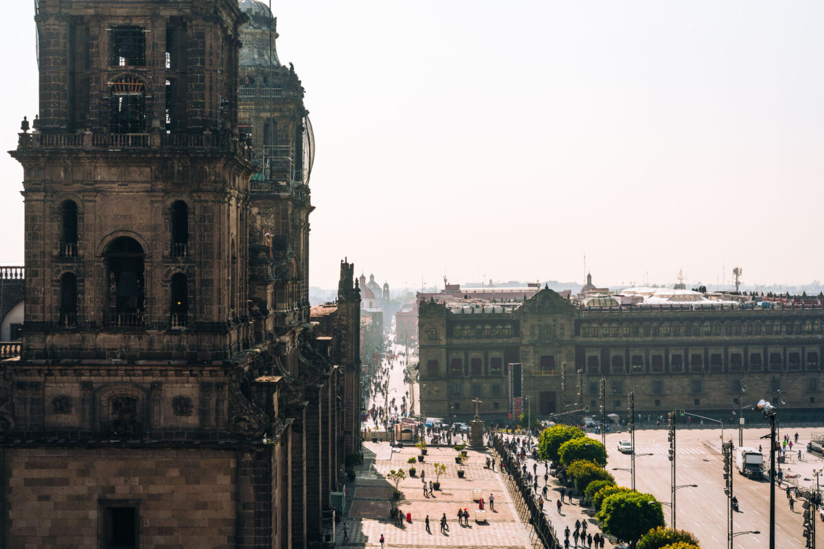
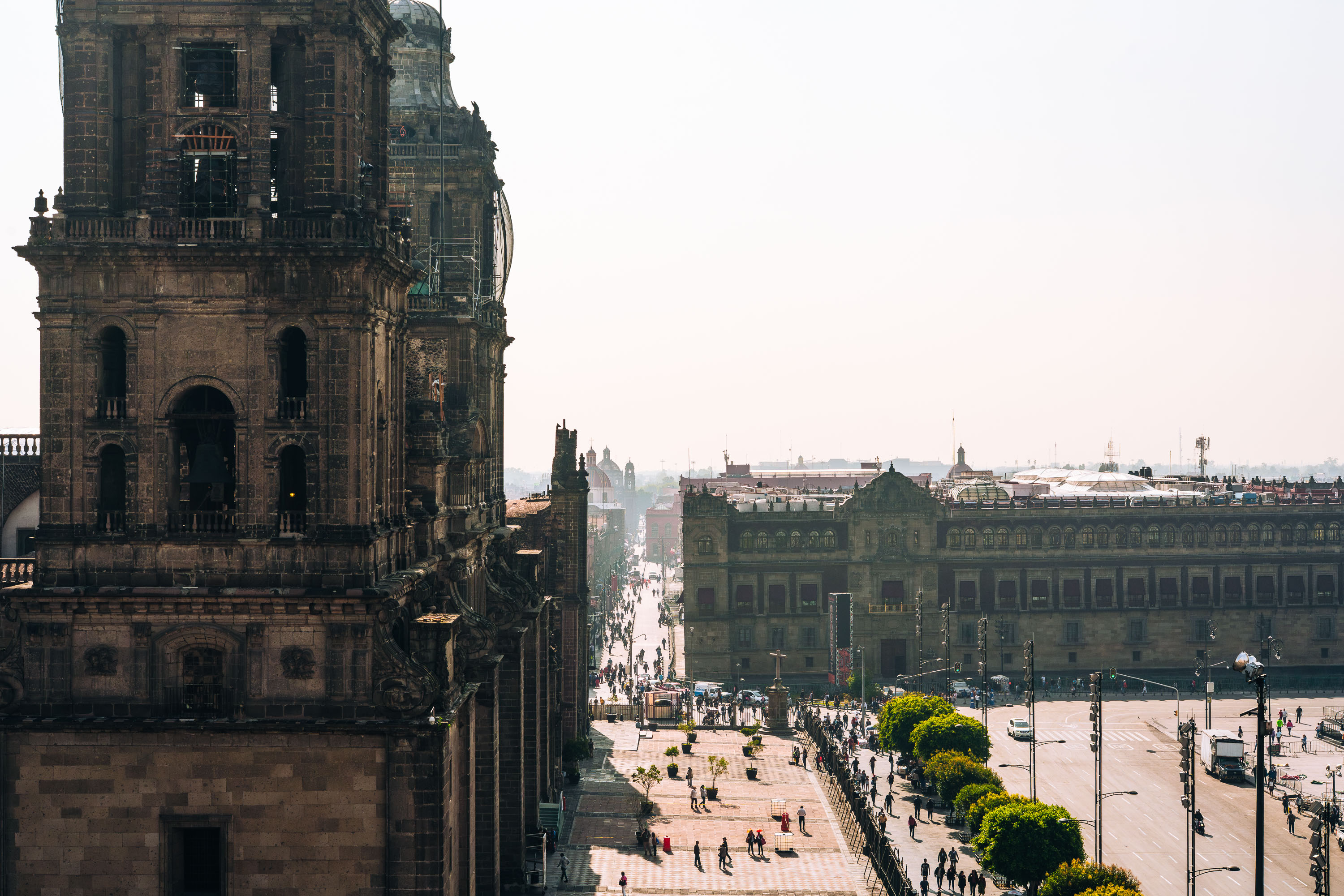
Metropolitan Cathedral tower overlooks the Zócalo plaza in Mexico City's historic center with colonial and modern buildings surrounding the square.
The Metropolitan Cathedral in Mexico City stands on the north side of the Zócalo, the city’s main square. Construction began in the 16th century and continued for several centuries on the site of the former Aztec ceremonial precinct.

View Toward the Zócalo from the Metropolitan Cathedral Tower
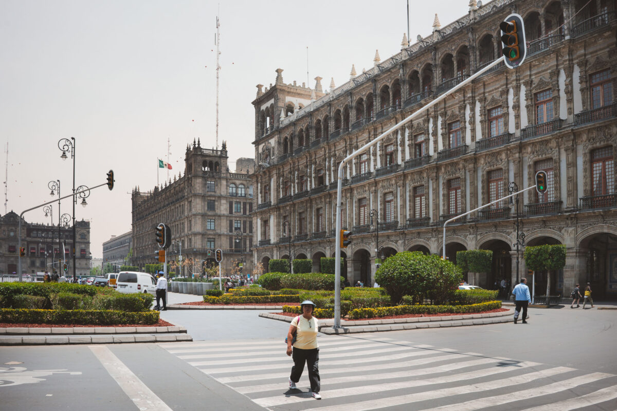
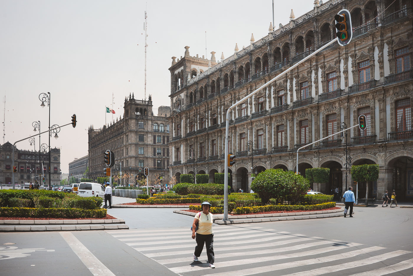
Pedestrian crossing the Zócalo plaza in Mexico City with the Palacio Nacional and colonial government buildings visible in the background.
Mexico City's Zócalo is bordered by the Palacio Nacional and other colonial-era government buildings. The square remains the political and ceremonial center of the capital, with pedestrian crossings linking its broad paved expanse.

Crosswalk Outside the Palacio Nacional, Mexico City
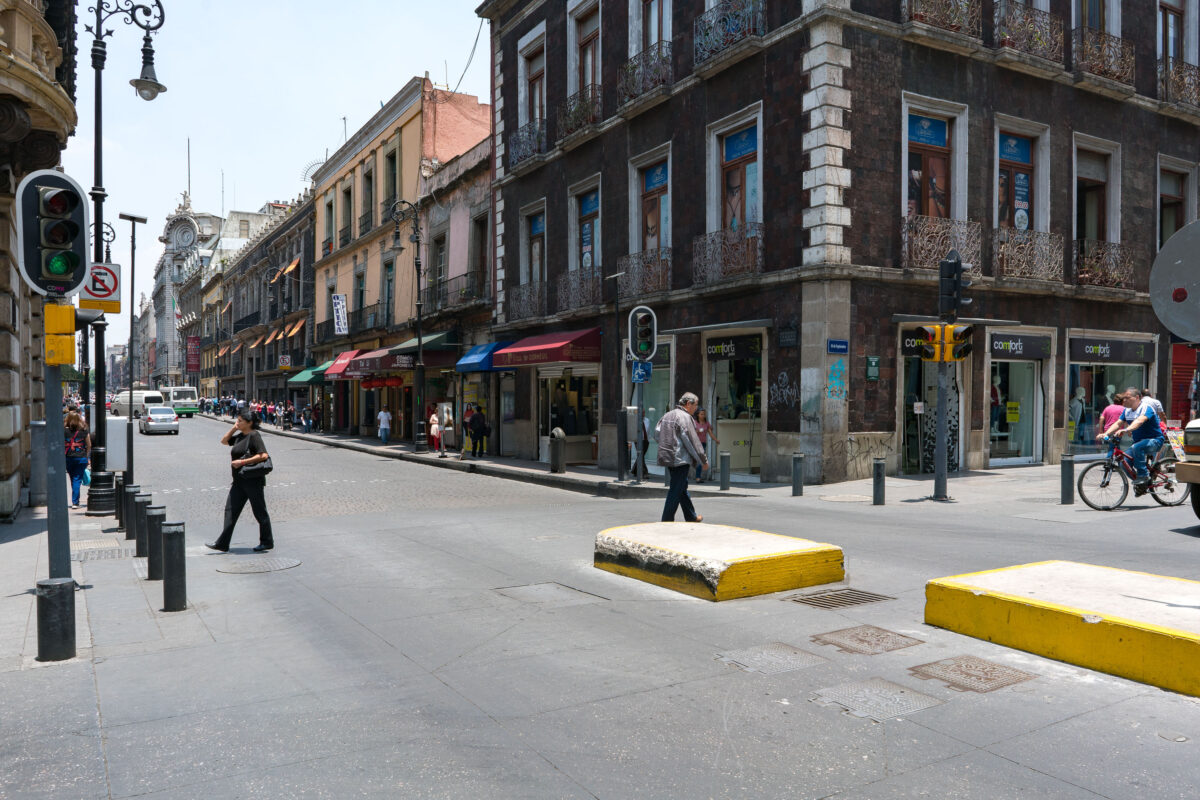
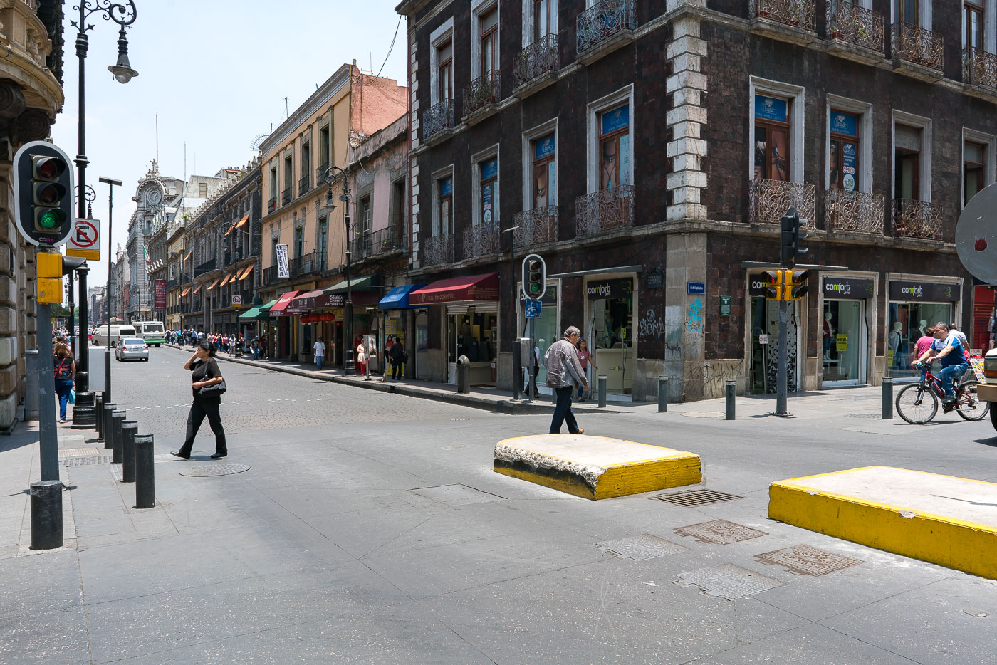
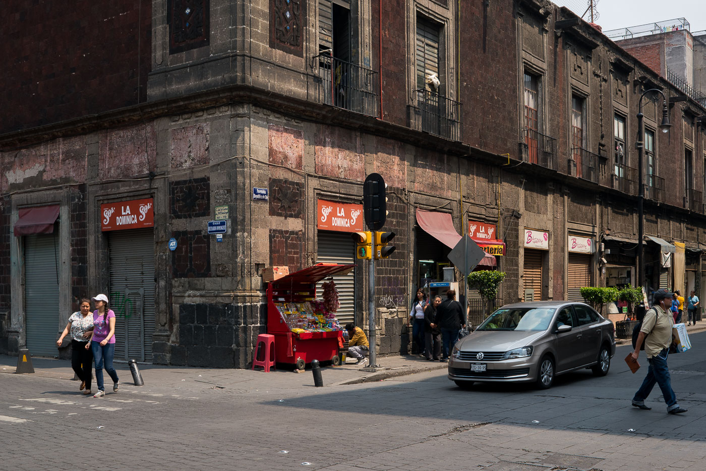
Pedestrians and cyclists navigate a daytime street corner in Mexico City's historic center lined with colonial and early twentieth-century commercial buildings.
Calle 5 de Febrero and Calle República de Uruguay in Mexico City’s historic center. The area is part of the Centro Histórico, a UNESCO World Heritage site, with colonial-era and early 20th-century buildings along a busy commercial corridor. Shops and pedestrians fill the ground floors and sidewalks in this central district.

Pedestrians Crossing Calle República de Uruguay, Centro Histórico
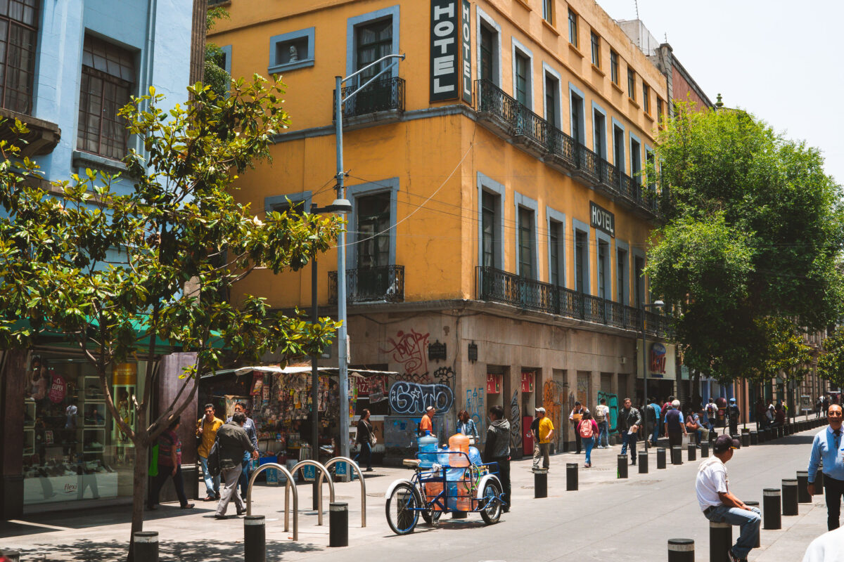
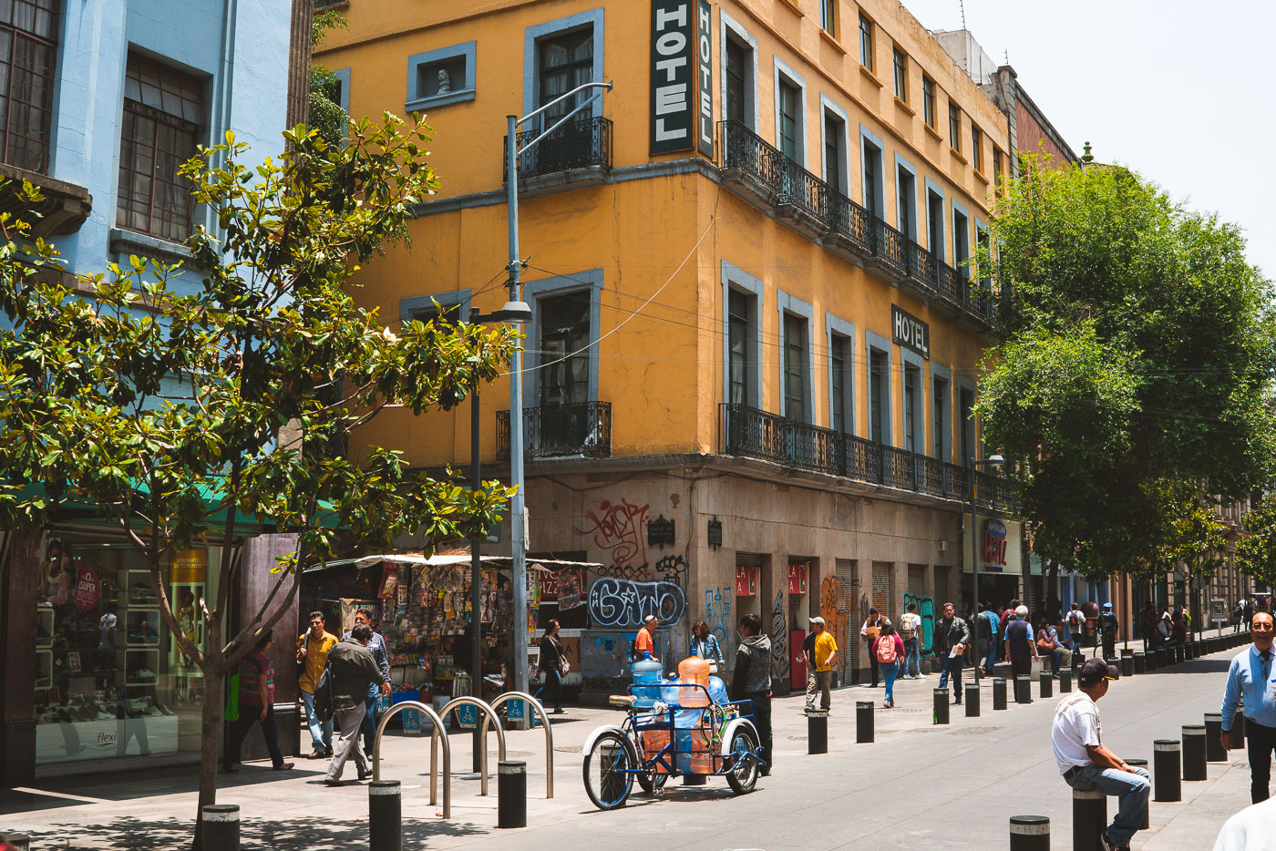
A yellow colonial-era hotel with blue trim stands on a pedestrian street in Mexico City's historic center surrounded by foot traffic and street vendors.
A hotel on Calle República de Uruguay in Mexico City's historic center anchors a busy pedestrian block near the city’s colonial-era core. The ground floor includes street-level storefronts and the surrounding block is used heavily by pedestrians and vendors.

Street Vendors Beneath a Hotel on Calle República de Uruguay

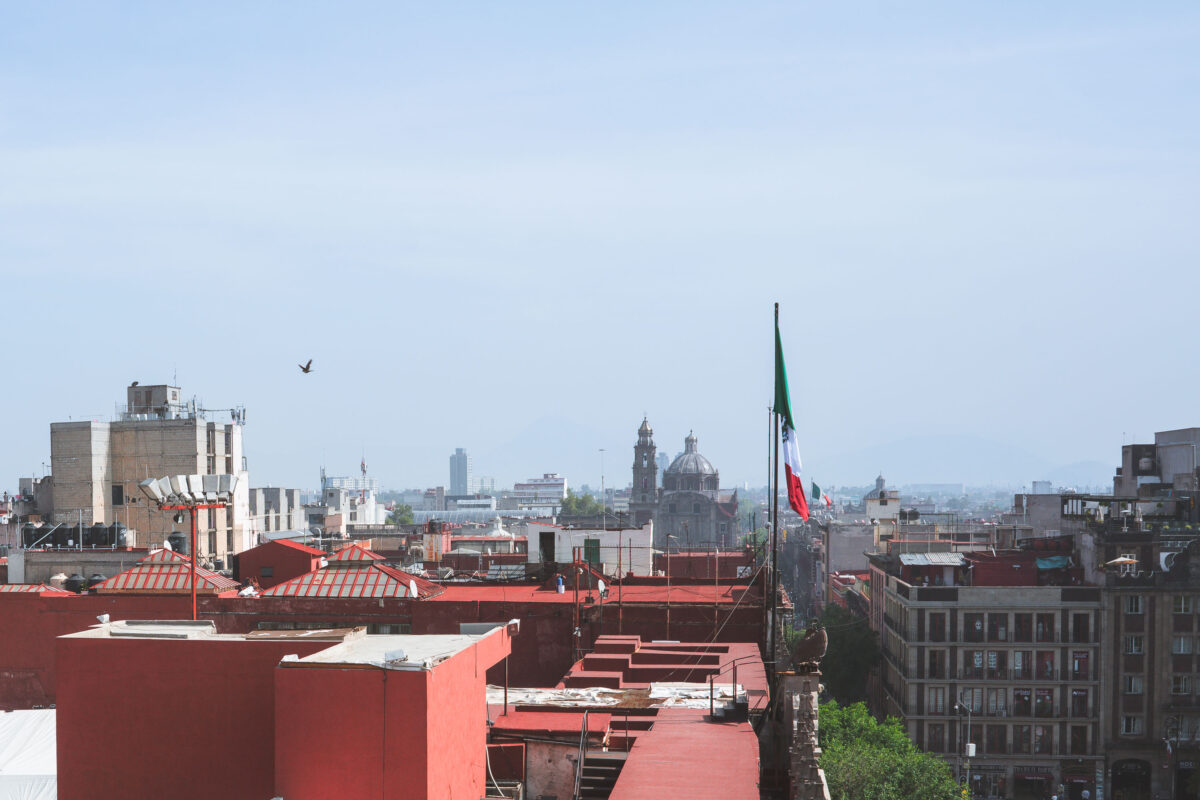
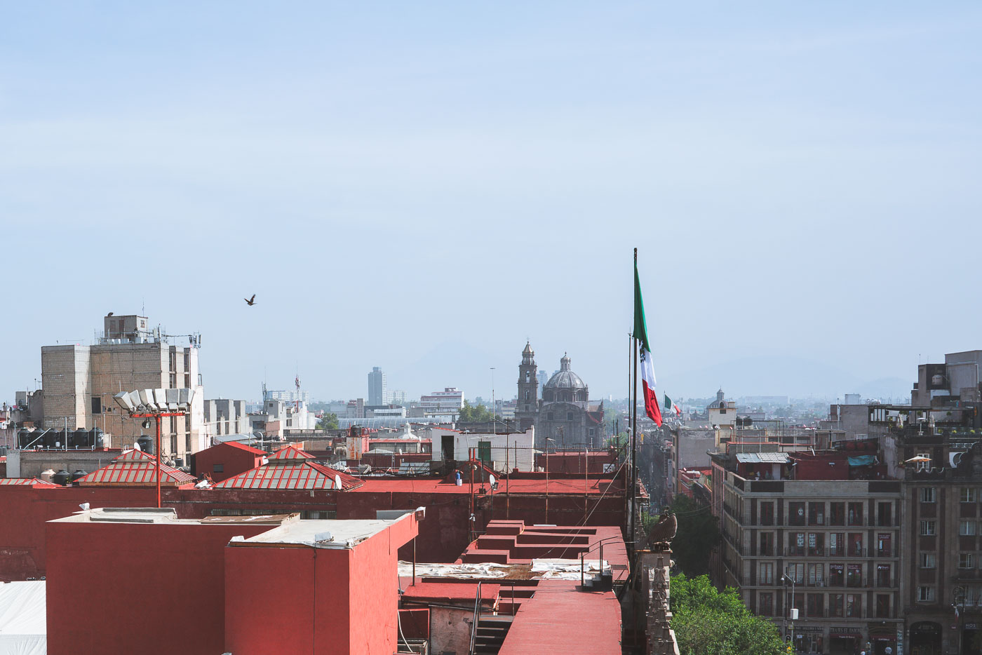
Mexican flag flies above red-roofed buildings in Mexico City's historic center with cathedral domes and modern towers visible beyond.
A view of Mexico City's historic center from above, with the Mexican flag prominently displayed near the Zócalo. The image showcases a mix of architectural styles, including the domes and towers of colonial-era churches juxtaposed with modern high-rise buildings. This area, the heart of the city, has been a center of political and cultural life since the Aztec era and continues to be a vital urban environment.

Rooftop View Toward the Metropolitan Cathedral, Centro Histórico

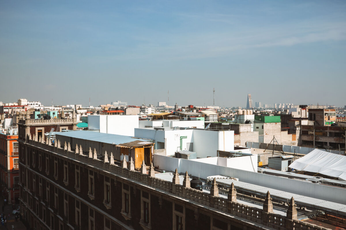
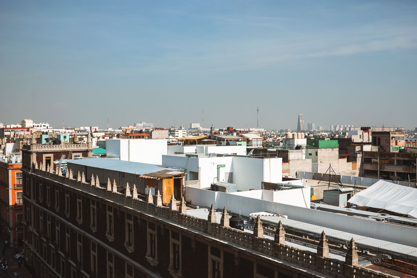
Mexico City's Centro Histórico rooftops display a mix of historic low-rise buildings and modern structures with Torre Latinoamericana visible on the distant skyline.
Mexico City’s historic Centro Histórico rooftops extend toward the Torre Latinoamericana and nearby high-rises. The district combines older low-rise buildings with newer commercial and residential structures.

Rooftops of Centro Histórico Toward the City Skyline

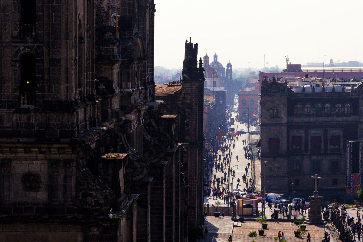
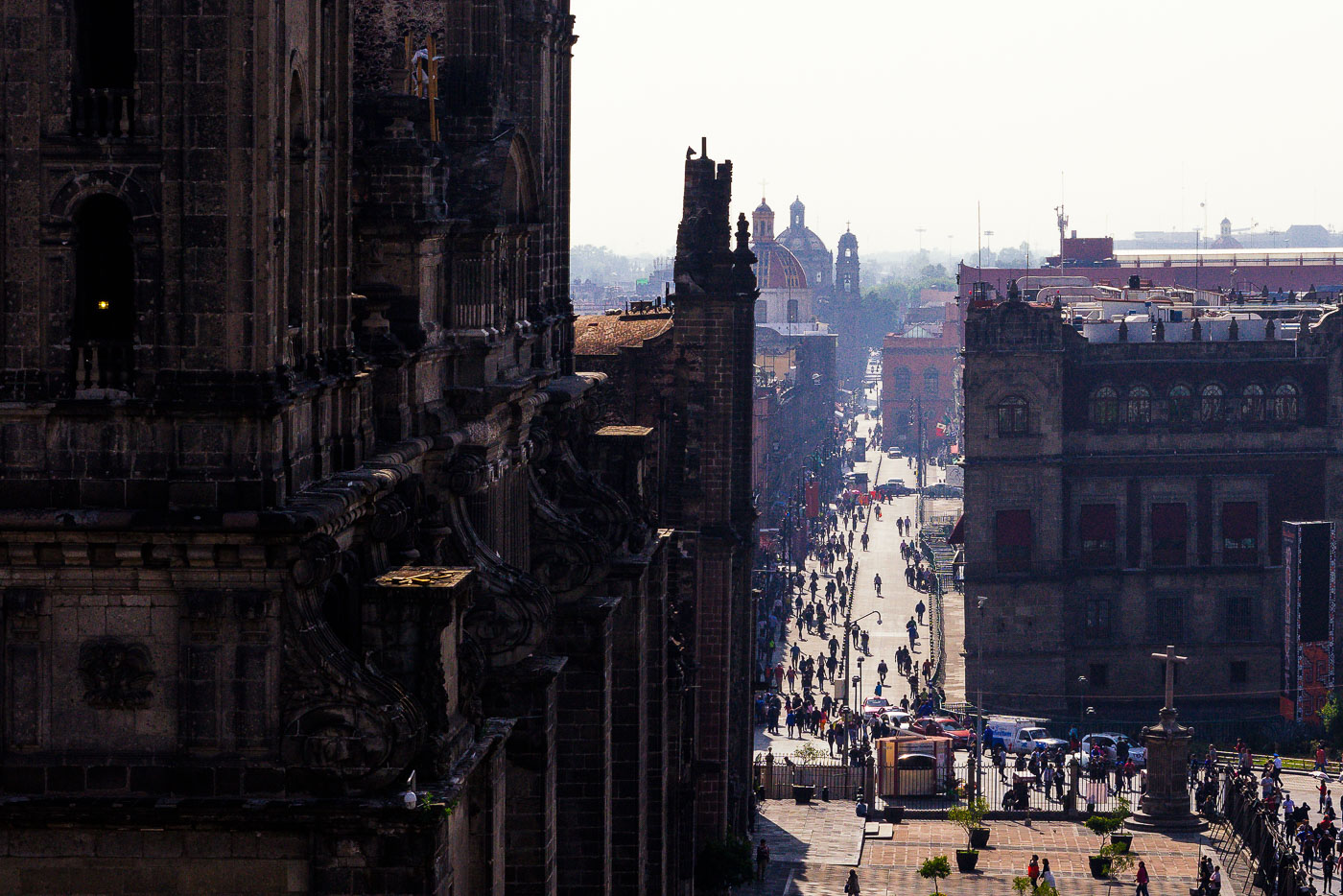
Francisco I.
Francisco I. Madero Avenue in Mexico City’s historic center extends east from the Metropolitan Cathedral. The pedestrian street links the Zócalo area with the rest of the Centro Histórico and passes historic commercial buildings and landmarks. The cathedral, begun in the 16th century, is one of the city’s most important religious monuments.

Looking Down Calle Madero from the Cathedral’s Bell Tower

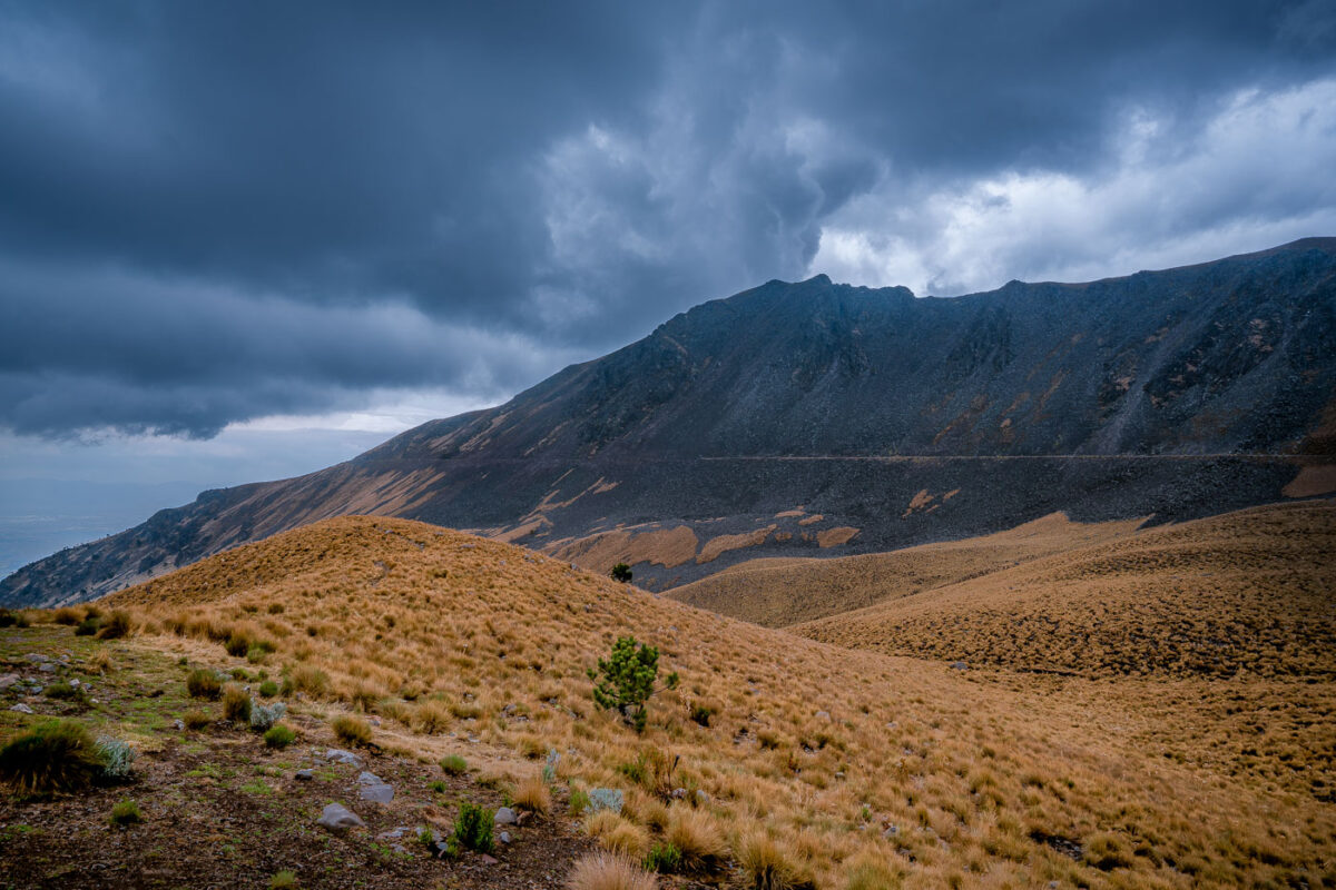
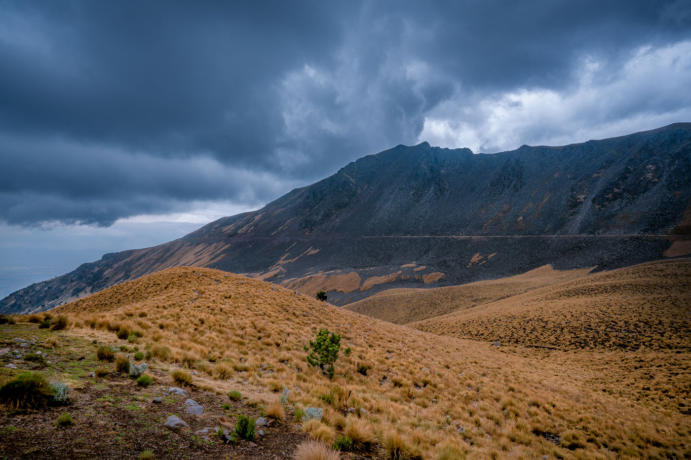
Nevado de Toluca volcano rises above high-altitude grassland with sparse vegetation under a cloudy sky in central Mexico.
Nevado de Toluca is a stratovolcano in central Mexico and part of the Trans-Mexican Volcanic Belt. Its caldera contains several crater lakes, including Laguna del Sol and Laguna de la Luna. The mountain is protected as Nevado de Toluca National Park.

Storm Clouds Over the Nevado de Toluca Caldera

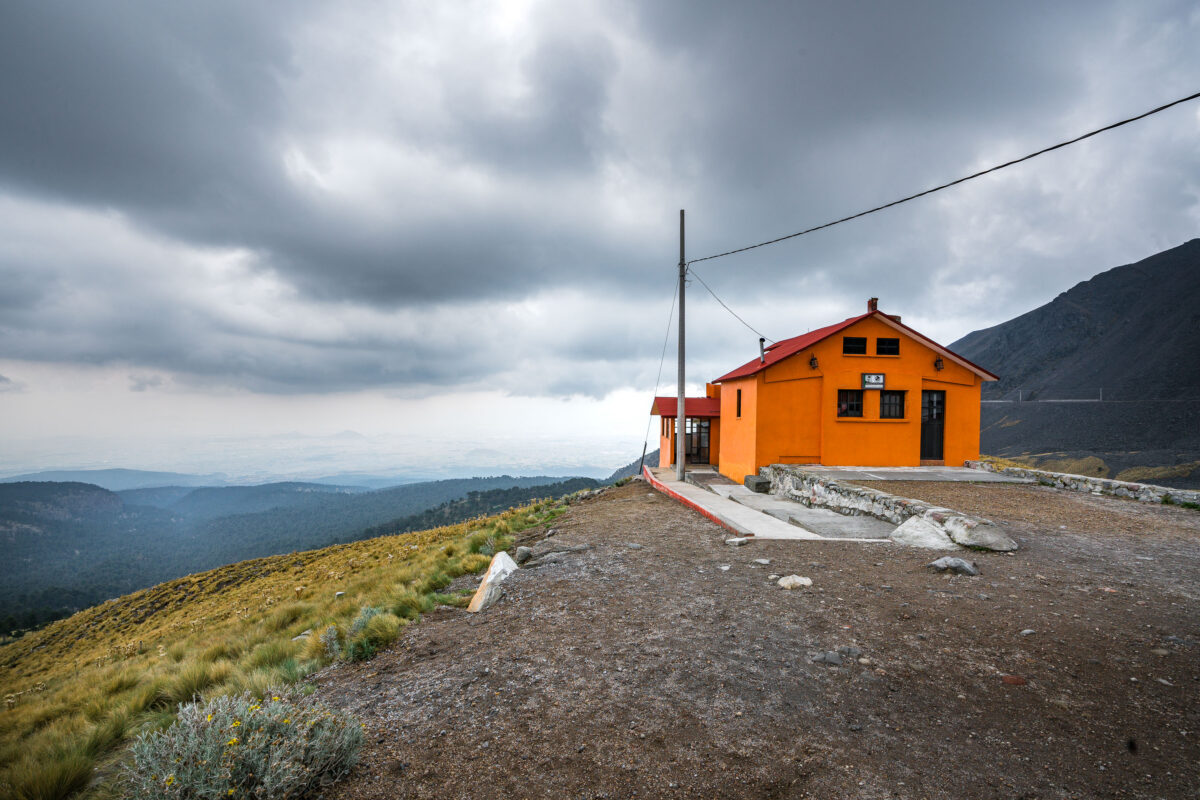
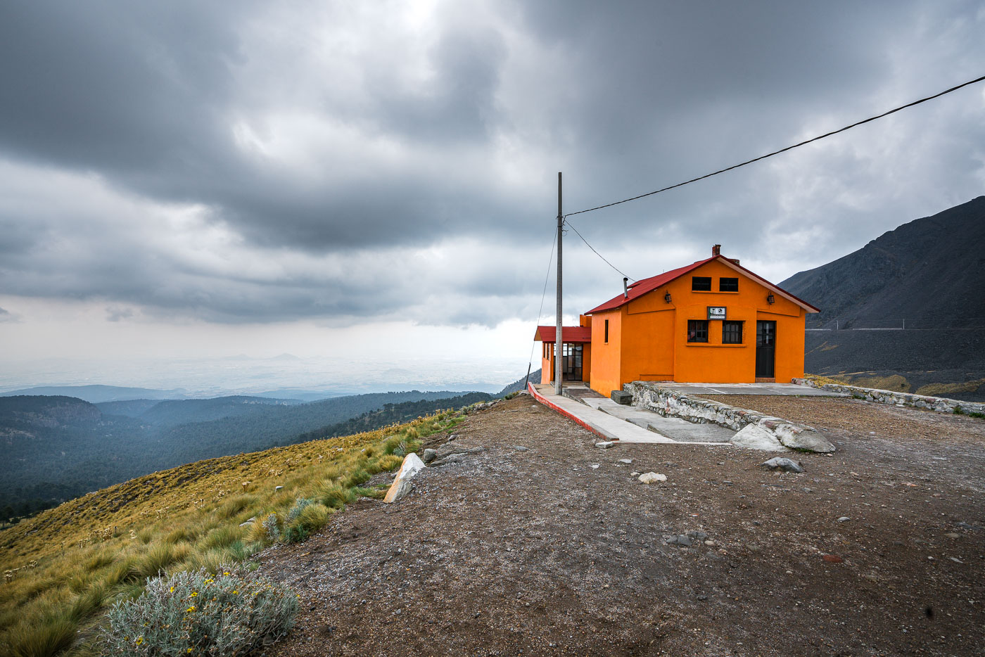
An orange mountain refuge building stands on the upper slopes of Nevado de Toluca volcano in central Mexico.
Nevado de Toluca in central Mexico is home to this mountain refuge, a shelter building on the volcano’s upper slopes. The refuge supports hikers and researchers visiting the high-altitude landscape about 80 kilometers west of Mexico City.

Orange Refuge on the Slopes of Nevado de Toluca

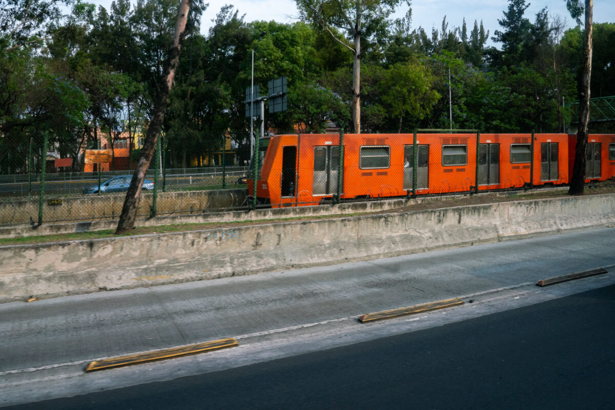
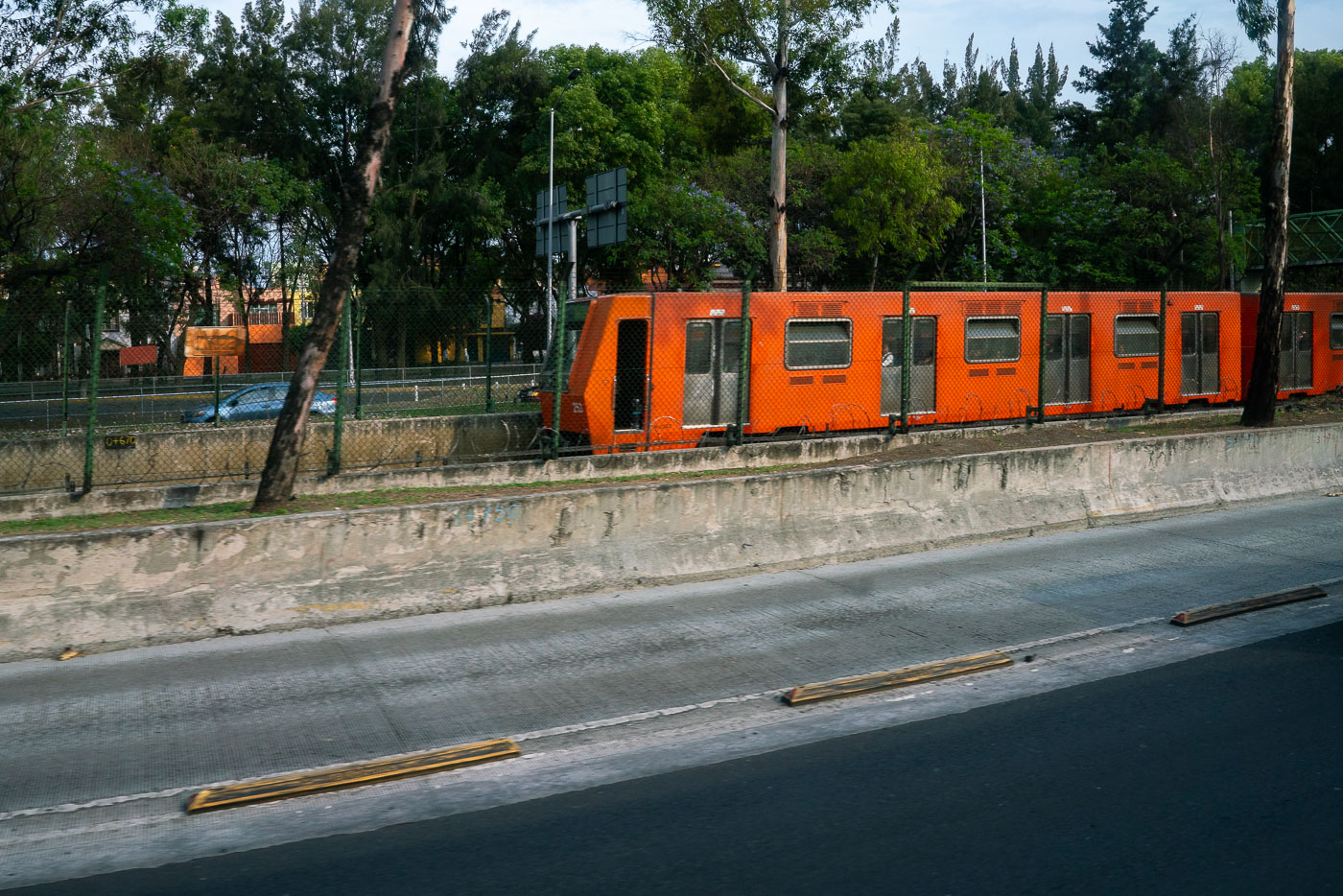
Orange Mexico City Metro Line 1 train running beside the Viaducto elevated roadway.
Mexico City Metro Line 1 runs beside Viaducto, a major elevated roadway in the city’s south-central area. Opened in 1969, the metro is one of the largest subway systems in the world and uses rubber-tired trains on several lines. Line 1 is the system’s original east-west corridor.

Mexico City Metro Line 1 Train Along Viaducto Road

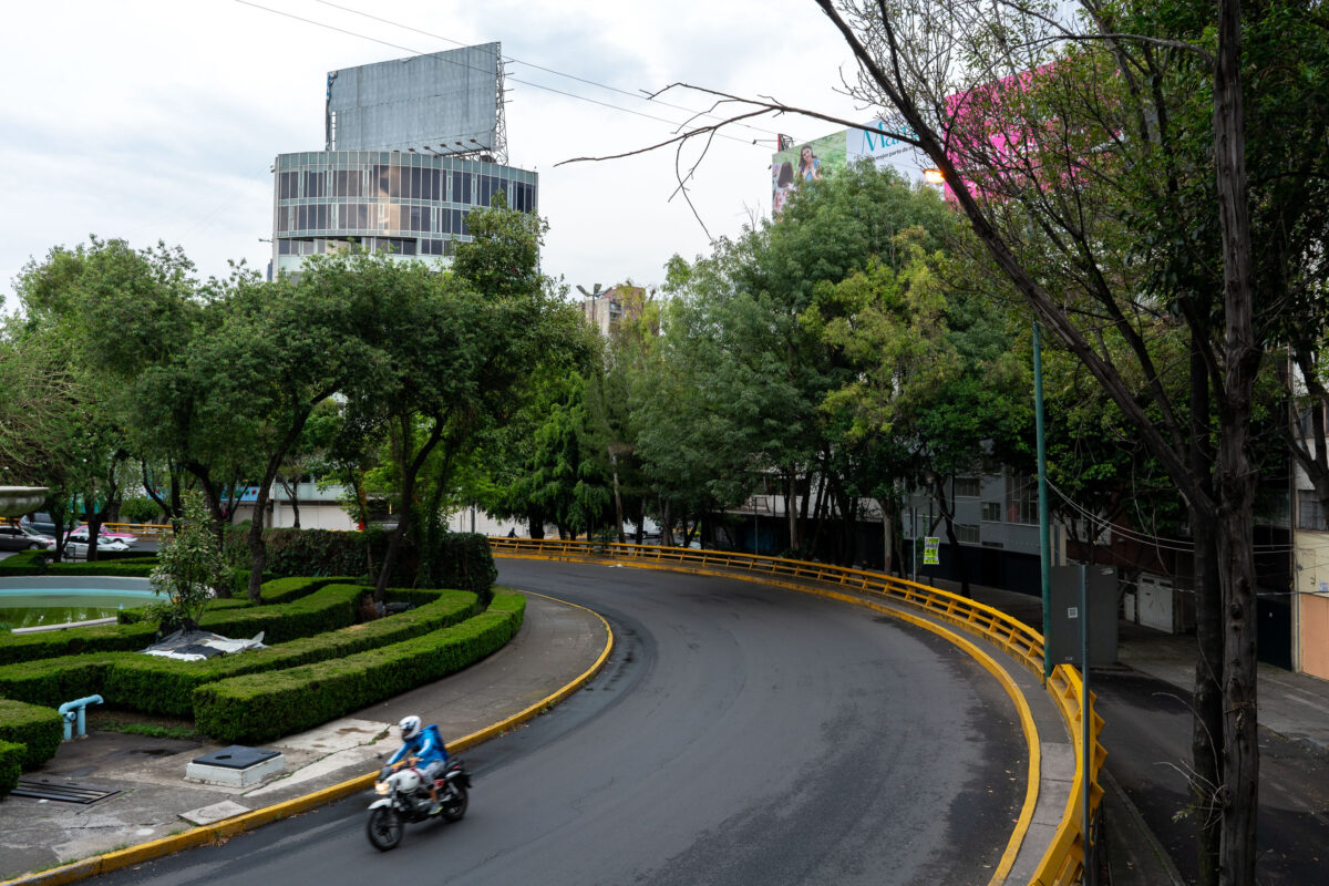
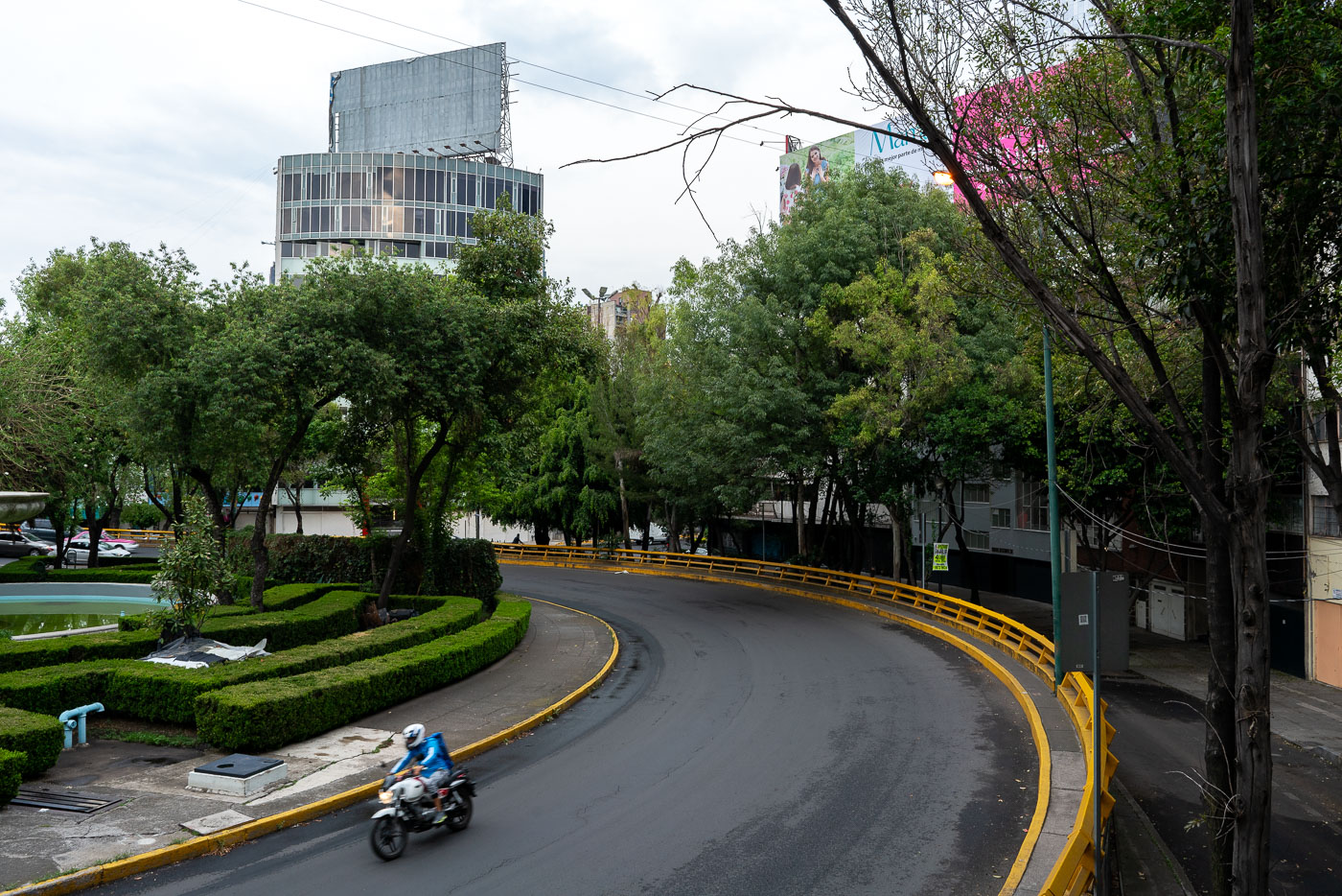
A motorcyclist rides through Fuente de los Buhos traffic circle in Mexico City's Bosque de Chapultepec park.
Fuente de los Buhos in Mexico City's Bosque de Chapultepec park is a traffic circle and public space known for its owl sculptures. The area sits near one of the city's largest urban parks, a major recreational and cultural landscape.

Motorcyclist on the Curve at Fuente de los Búhos

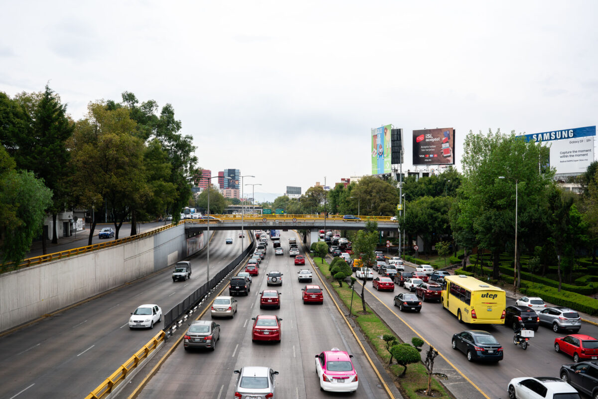
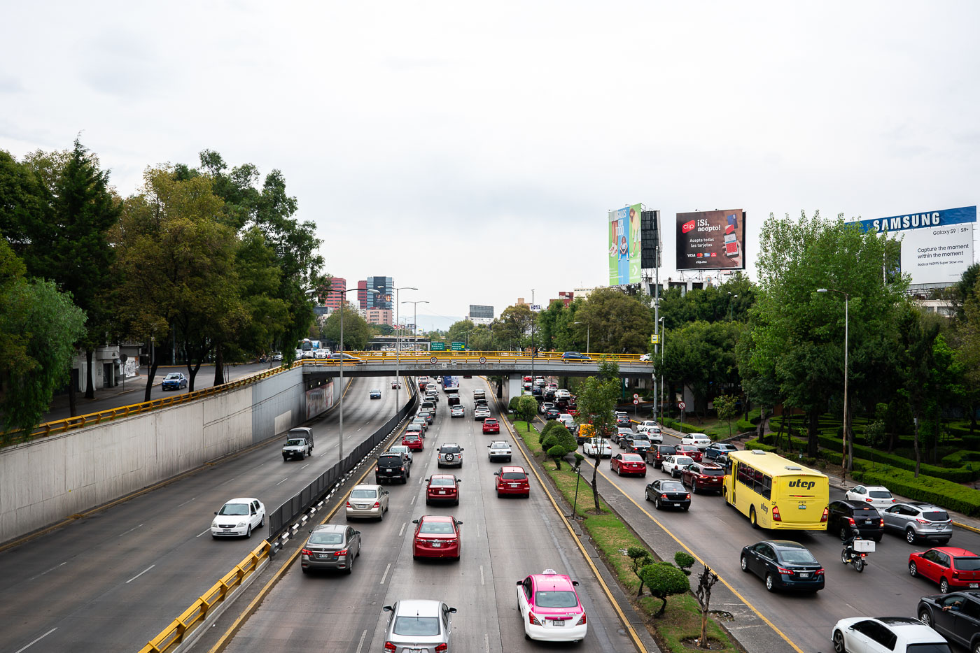
Heavy vehicle traffic flows on the Circuito Interior Melchor Ocampo expressway in Mexico City.
Circuito Interior Melchor Ocampo in Mexico City is a major urban expressway that carries heavy traffic through the northern part of the capital. The road is part of the Circuito Interior ring route, which links several districts and helps distribute cross-city vehicle flow.

Rush-Hour Traffic Along Circuito Interior Melchor Ocampo

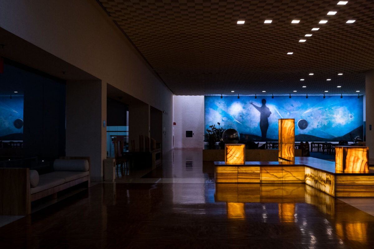
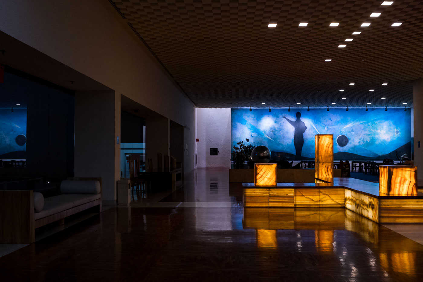
Modern hotel lobby in Mexico City features illuminated onyx fixtures and a large celestial mural on the back wall.
Mexico City hotel lobby with a large celestial mural and illuminated onyx fixtures. The interior combines modernist design elements with public art and natural stone finishes.

Illuminated Onyx Fixtures Beneath a Celestial Mural, Mexico City Hotel

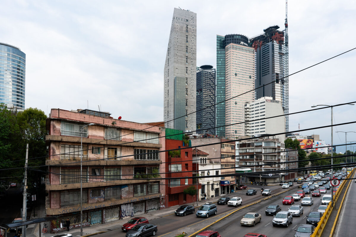
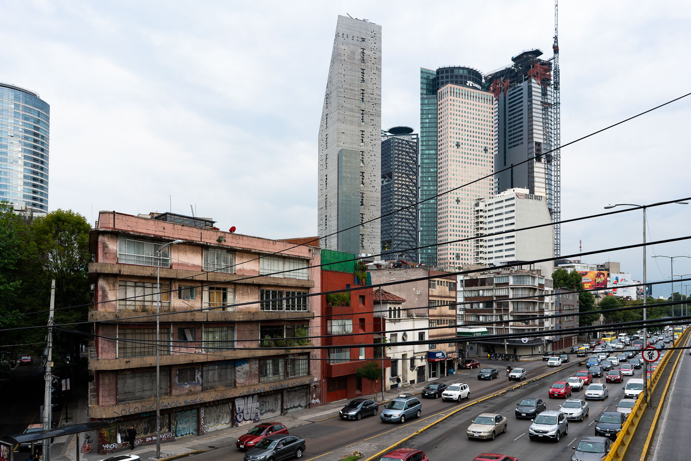
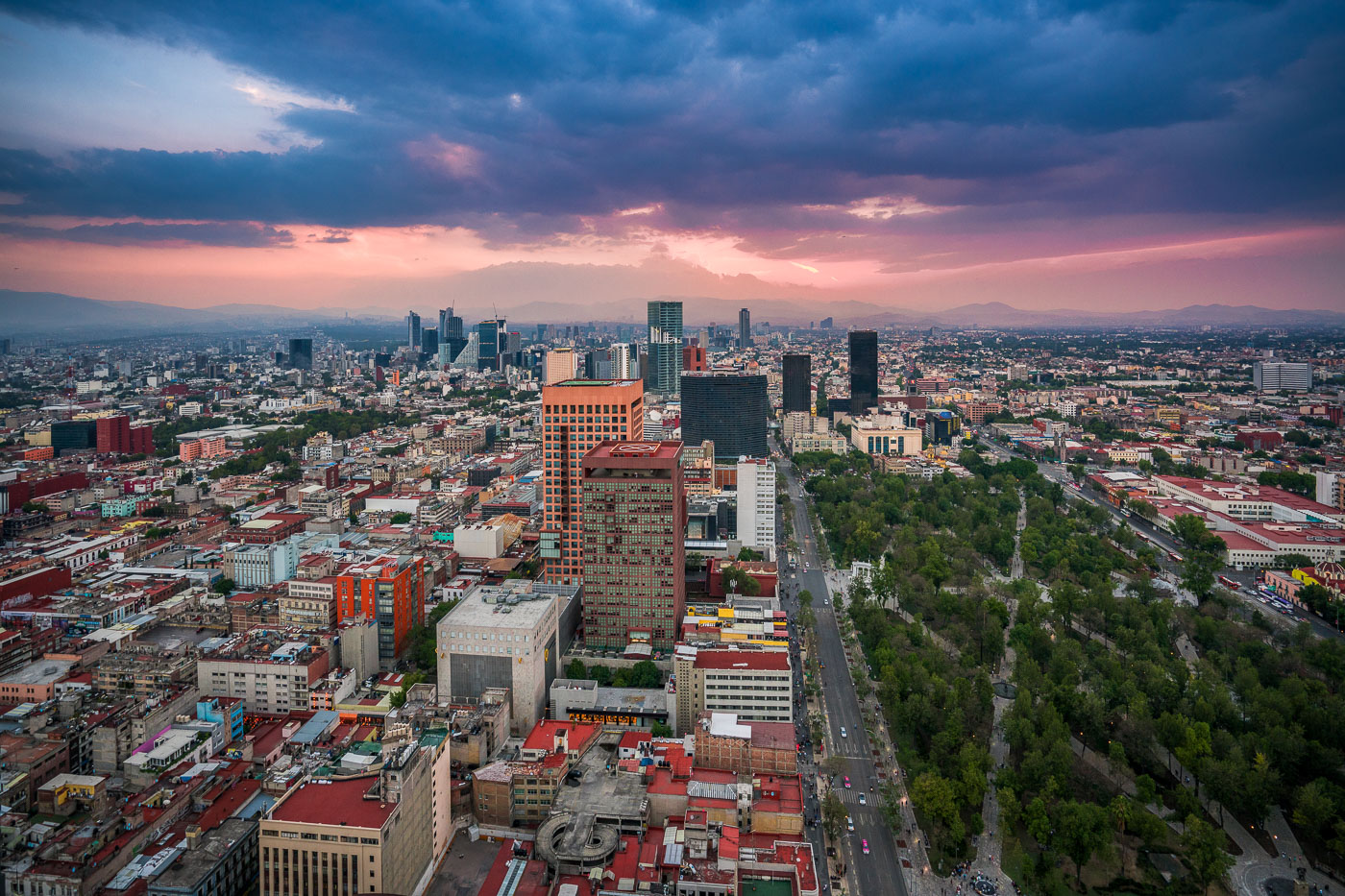
Paseo de la Reforma avenue in Mexico City showing older residential buildings in foreground and modern high-rise towers in the financial district background.
Avenida Paseo de la Reforma in Mexico City is one of the city’s main east-west boulevards and a major commercial corridor. The avenue links older midcentury buildings with newer high-rise towers in the financial district. It also carries heavy traffic toward Chapultepec and western Mexico City.

Towers Rising Over Reforma Near Chapultepec

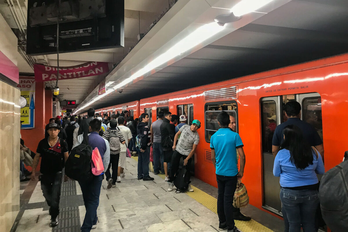
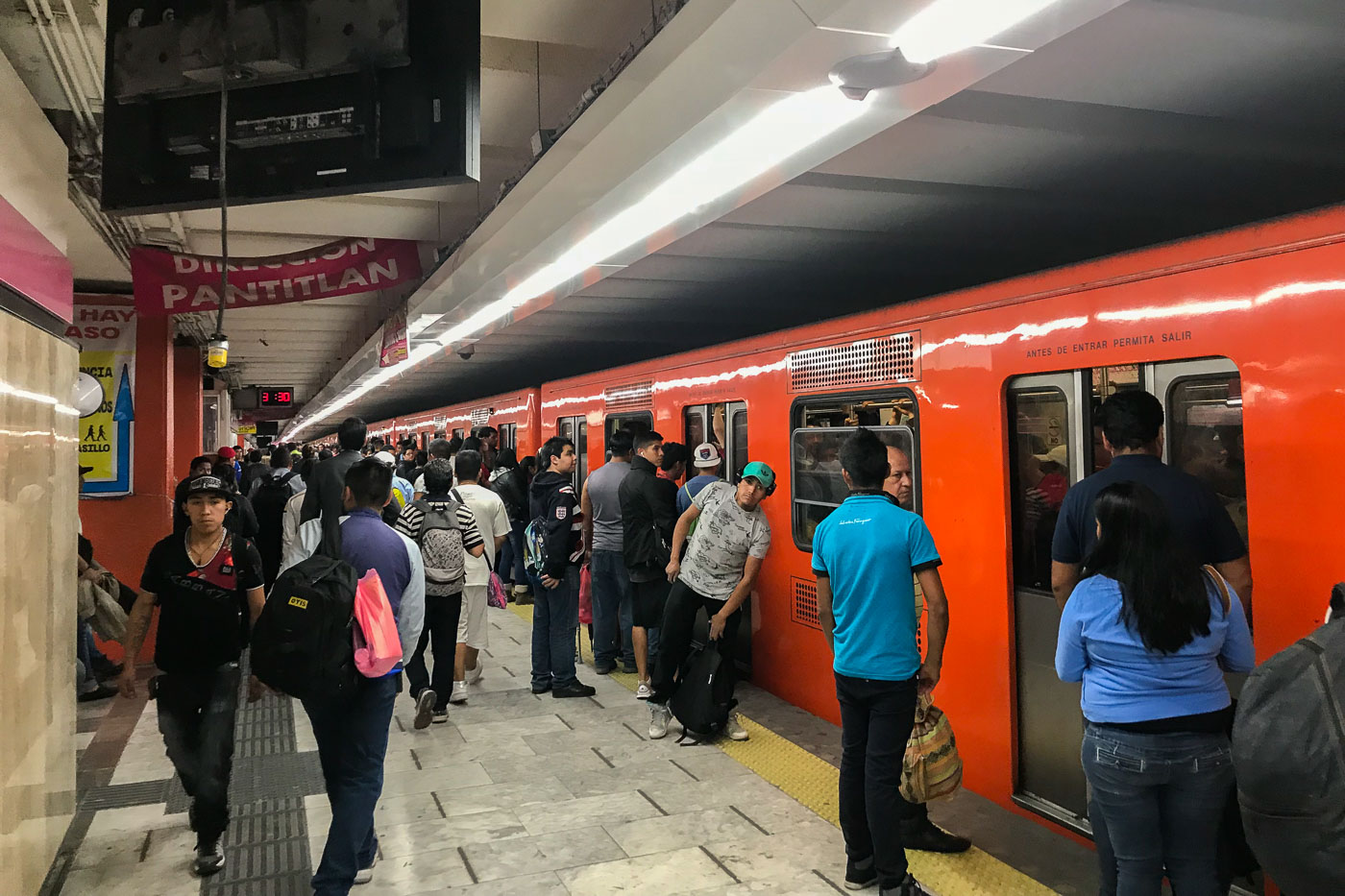
Passengers wait on the platform at Pantitlan Station, a major transfer point for Mexico City Metro Lines 1, 5, 9, and A. An orange train is stopped at the platform.
Passengers wait on the platform at Pantitlan Station, a major transfer point for Mexico City Metro Lines 1, 5, 9, and A. An orange train is stopped at the platform, with signage indicating "DIRECCION PANTITLAN" and "ANTES DE ENTRAR PERMITA SALIR." Pantitlan Station serves as a critical hub for commuters in the eastern part of Mexico City, connecting multiple lines and facilitating travel across the vast metropolitan area. Its design and function are central to the daily transit of millions of residents, reflecting the city's extensive public transportation network.

Mexico City Metro: Pantitlan Station Platform

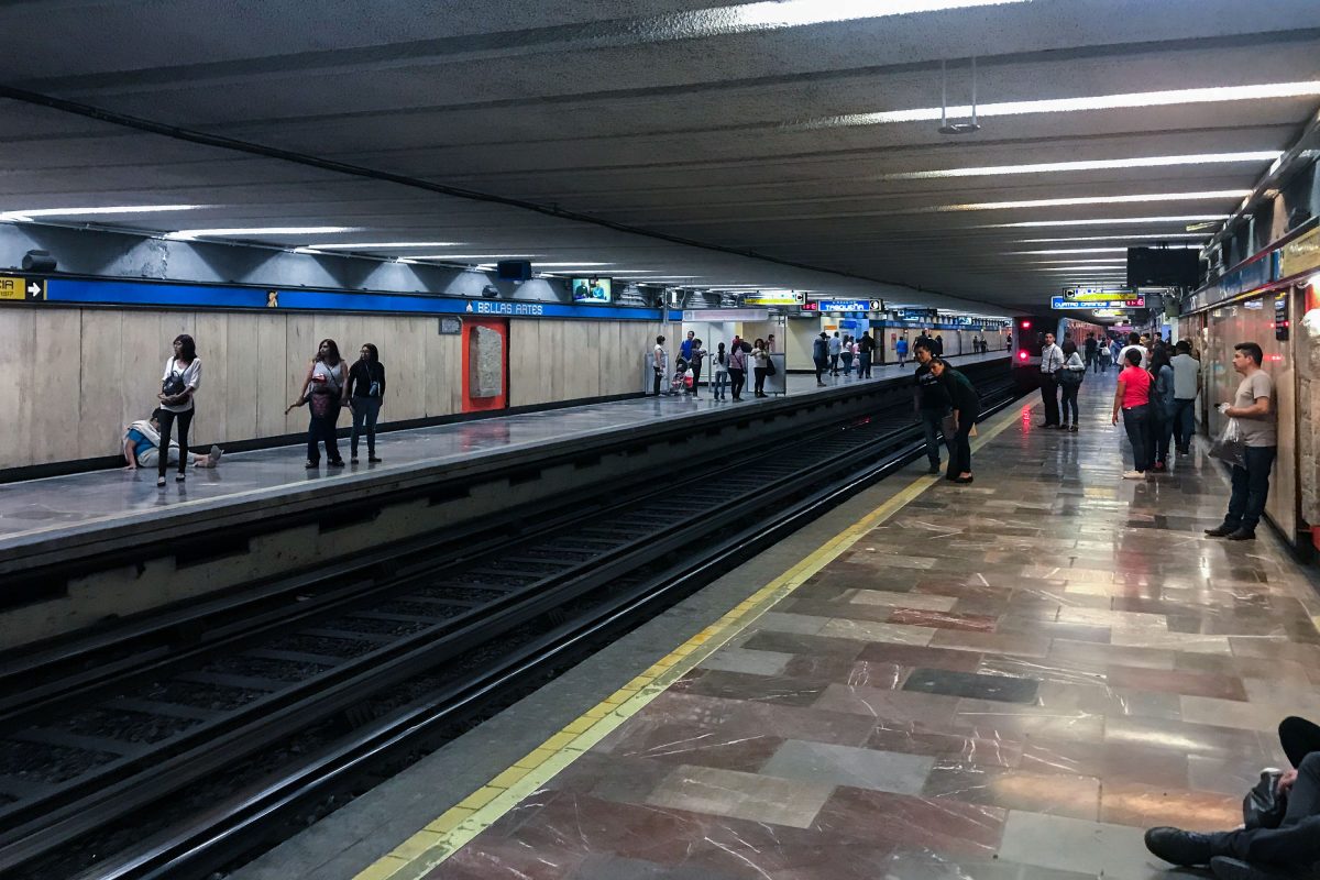
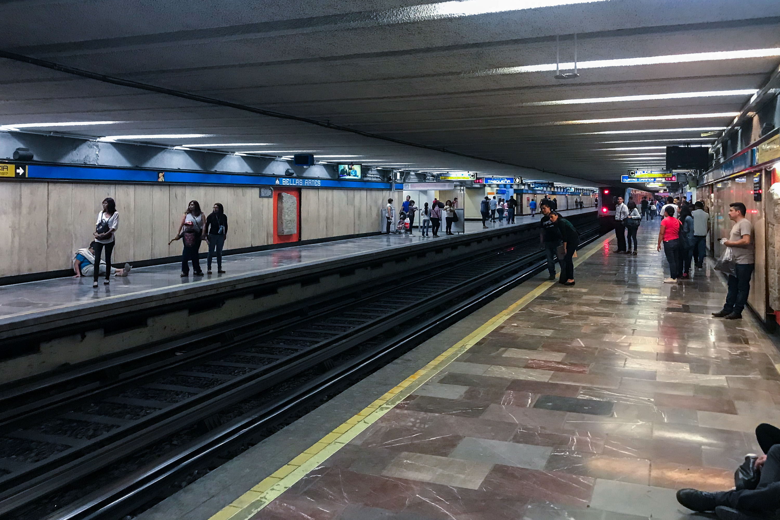
Passengers wait on the platform at Bellas Artes subway station in Mexico City.
Bellas Artes station serves Lines 2 and 8 of the Sistema de Transporte Colectivo, the metro system that has moved passengers across Mexico City since 1969. The station takes its name from the nearby Palacio de Bellas Artes and sits beneath the historic center, one of the busiest districts the system serves. Line 2 runs north-south between Cuatro Caminos and Tasqueña, while Line 8 connects Garibaldi to Constitución de 1917. The system carries well over a billion rides a year, among the highest ridership of any metro network in the Americas.

Bellas Artes Metro Station, Mexico City

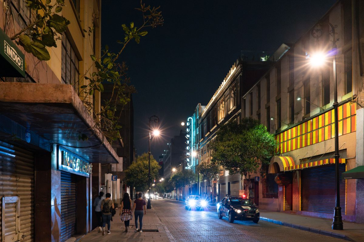
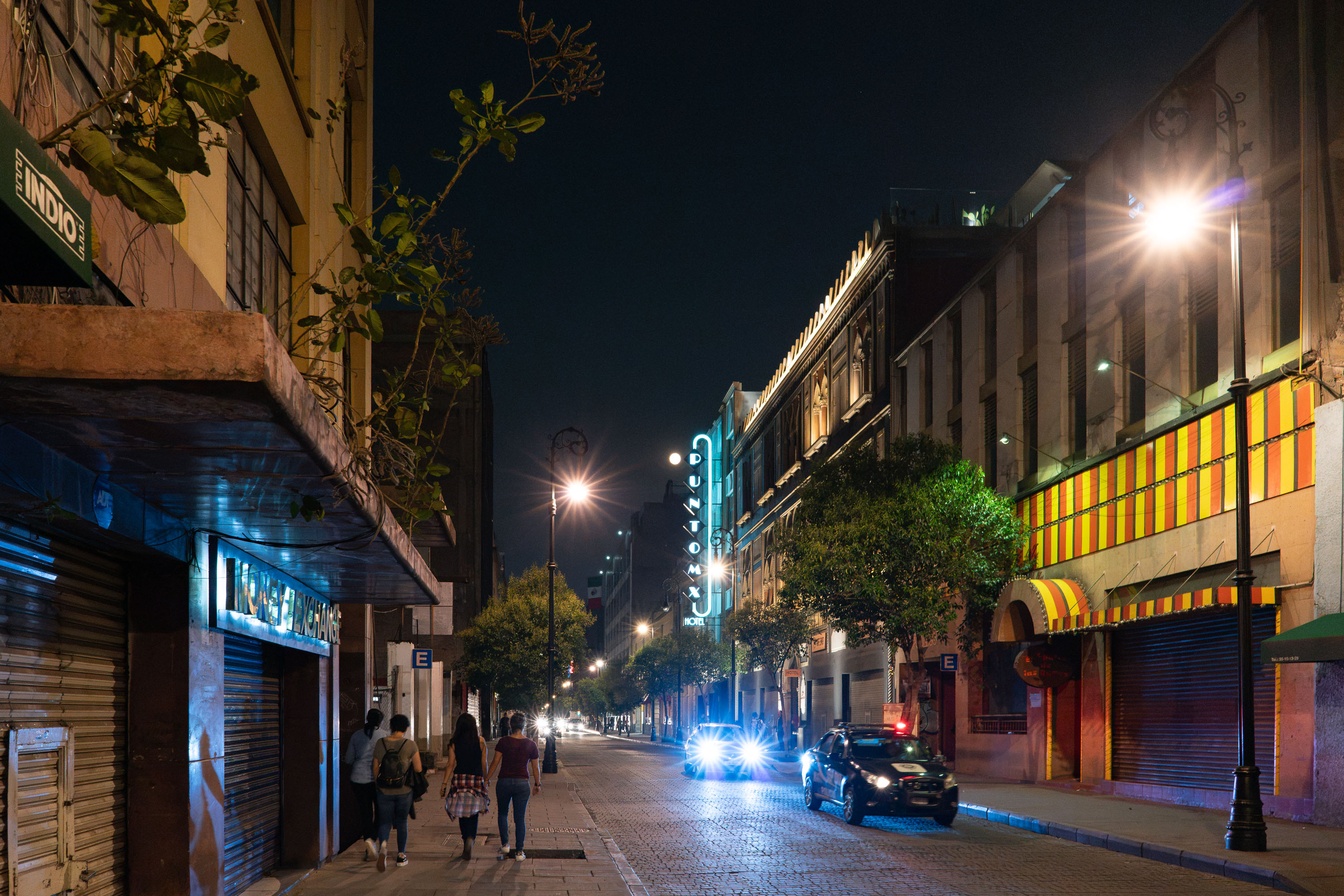
Neon Hotel Bucareli sign glows above a nighttime street in Mexico City's Colonia Juárez.
Calle Bucareli runs through Mexico City's Colonia Juárez, just west of the Centro Histórico. The street takes its name from Antonio María de Bucareli y Ursúa, a Spanish viceroy of New Spain in the 1770s. It has long been a commercial corridor lined with hotels, cantinas, and shops catering to travelers passing between downtown and the Paseo de la Reforma corridor. The Hotel Bucareli, whose neon sign marks the street, has operated in the area for decades as one of several budget lodgings serving the district.

Hotel Bucareli Sign on Calle Bucareli, Mexico City

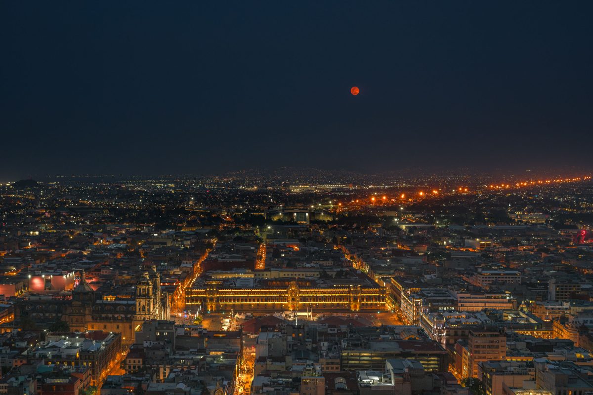
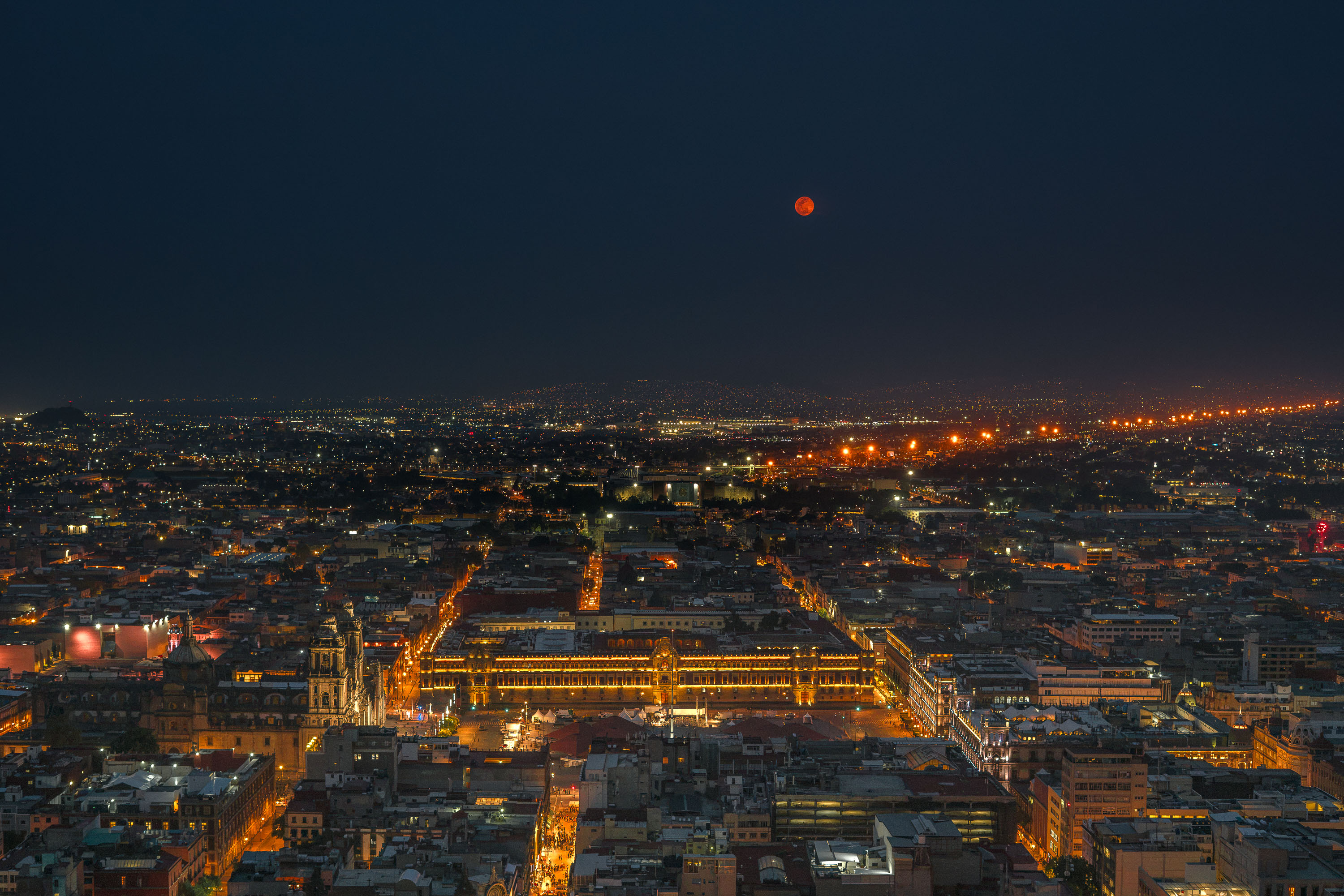
A red full moon rises above the illuminated Zócalo in Mexico City at night, with the National Palace and surrounding cityscape visible below.
The Zócalo — officially Plaza de la Constitución — has anchored Mexico City since the 16th century, built over the ceremonial center of the Aztec capital Tenochtitlan. At roughly 46,800 square meters, it ranks among the largest public squares on Earth. The National Palace, seat of the federal executive, runs along its eastern side, while the Metropolitan Cathedral, begun in 1573, faces it from the north. The square remains the site of presidential inaugurations, military parades, and national holidays including Independence Day and Día de los Muertos gatherings.

Blood Moon Over the National Palace, Mexico City

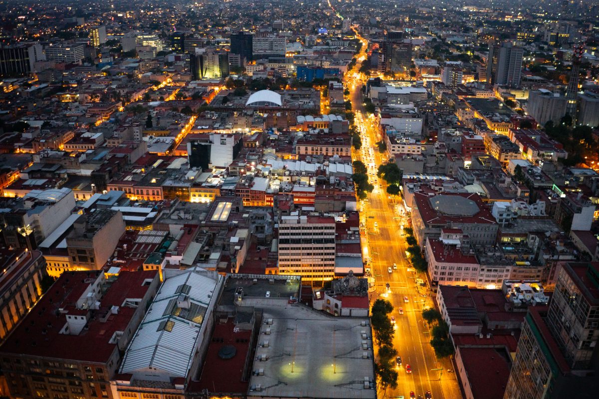
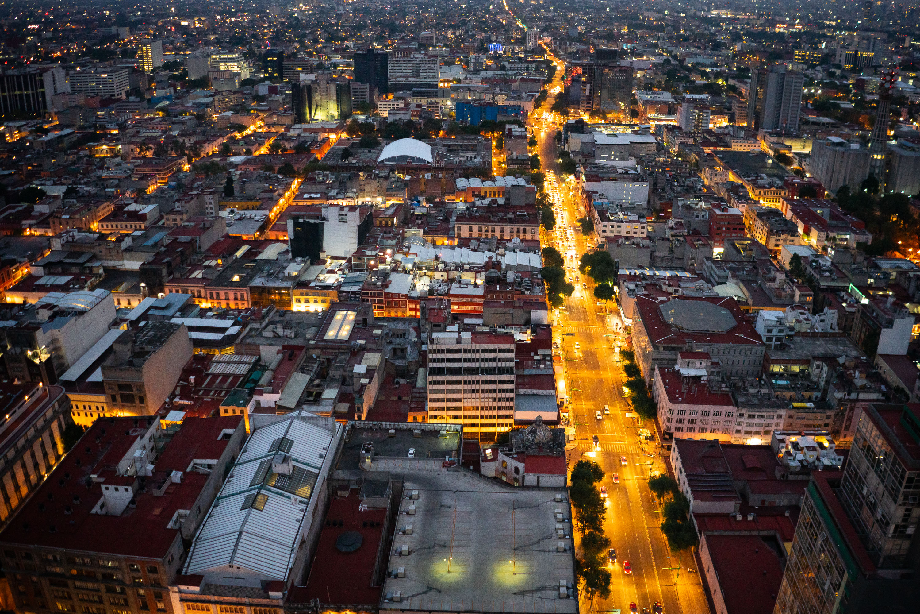
Eje Central Lázaro Cárdenas avenue illuminated at dusk running through Mexico City's Centro Histórico with surrounding buildings and districts.
Eje Central Lázaro Cárdenas cuts north-south through Mexico City's Centro Histórico, linking the old colonial core to newer districts to the south. The avenue was widened and renamed in the 1960s in honor of former president Lázaro Cárdenas, replacing a narrower colonial-era street. It remains one of the capital's principal traffic corridors, carrying both private vehicles and public transit through a district built atop the ruins of Tenochtitlan. Buildings along its length date from the early 20th century through the present, reflecting decades of the city's commercial expansion.

Aerial View of Eje Central Lázaro Cárdenas at Nightfall

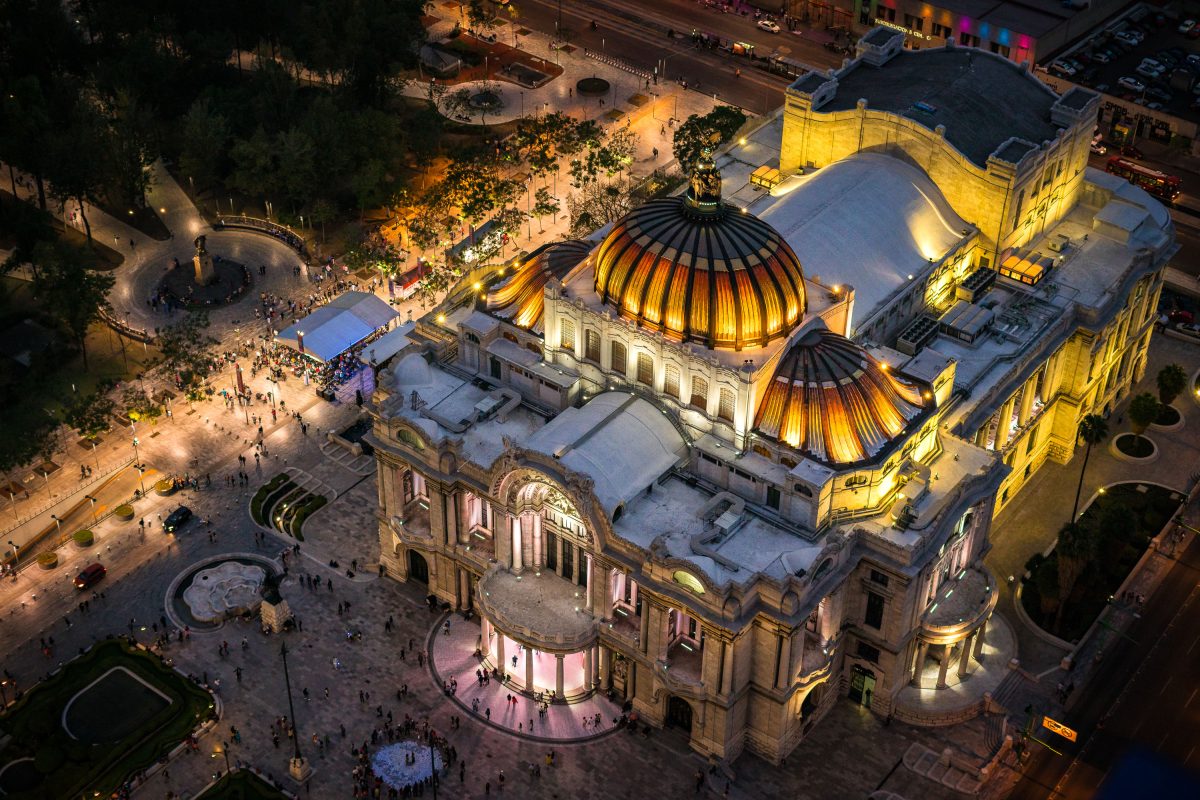
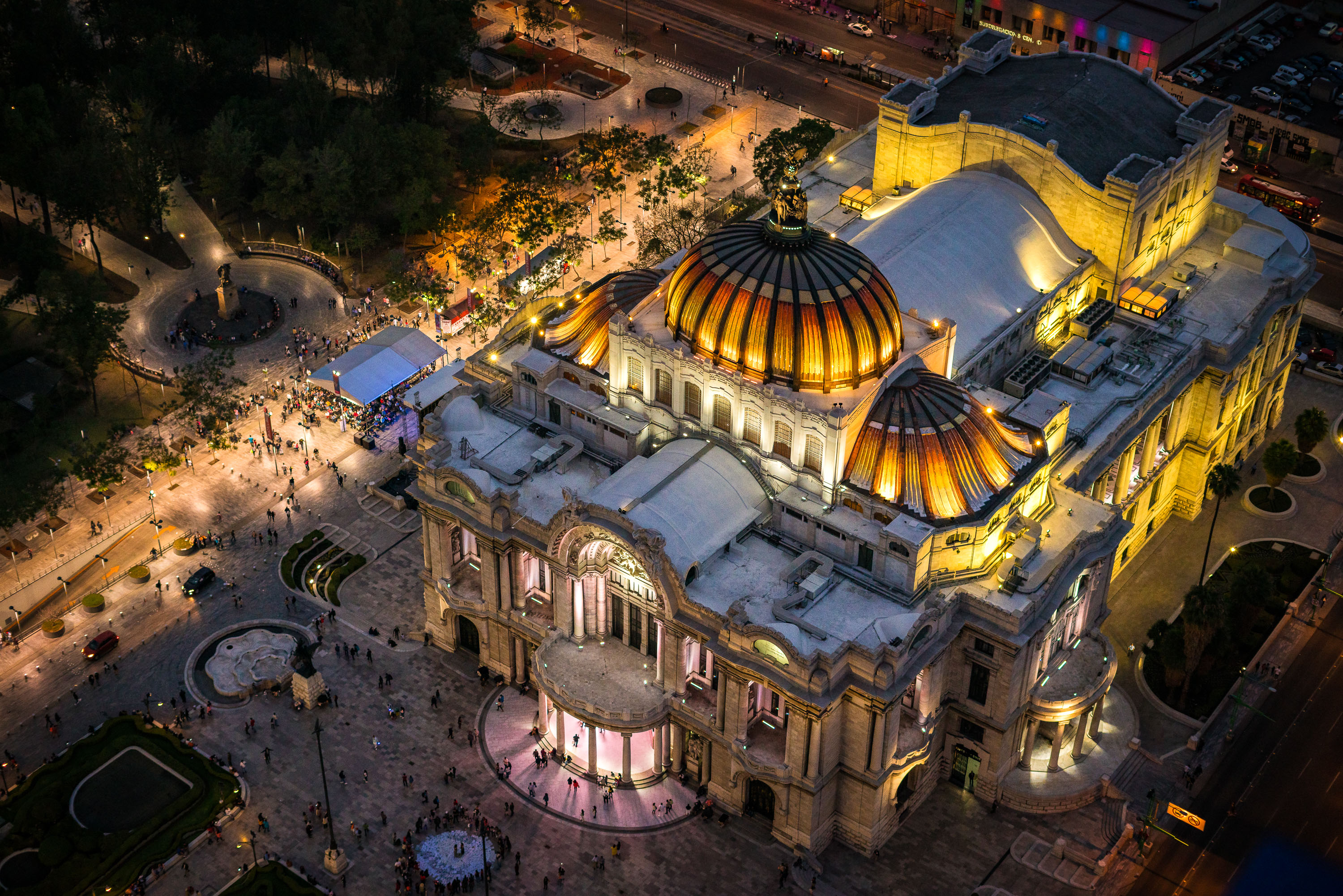
Palacio de Bellas Artes illuminated at night with its golden domes and neoclassical facade overlooking the Alameda Central plaza in Mexico City.
Palacio de Bellas Artes sits at the western edge of the Alameda Central in downtown Mexico City. Construction began in 1904 under architect Adamo Boari, whose Art Nouveau design used a marble exterior that proved too heavy for the site's soft soil; work stalled for years before Federico Mariscal completed the project in 1934 with an Art Deco interior. The building houses murals by Diego Rivera, David Alfaro Siqueiros, and Rufino Tamayo, along with a Tiffany glass curtain depicting the Valley of Mexico that serves as the stage backdrop for the National Auditorium. It remains home to the Palacio de Bellas Artes Museum and the National Institute of Fine Arts, hosting opera, theater, and the Ballet Folklórico de México.

Aerial View of Bellas Artes Illuminated Beside Alameda Central

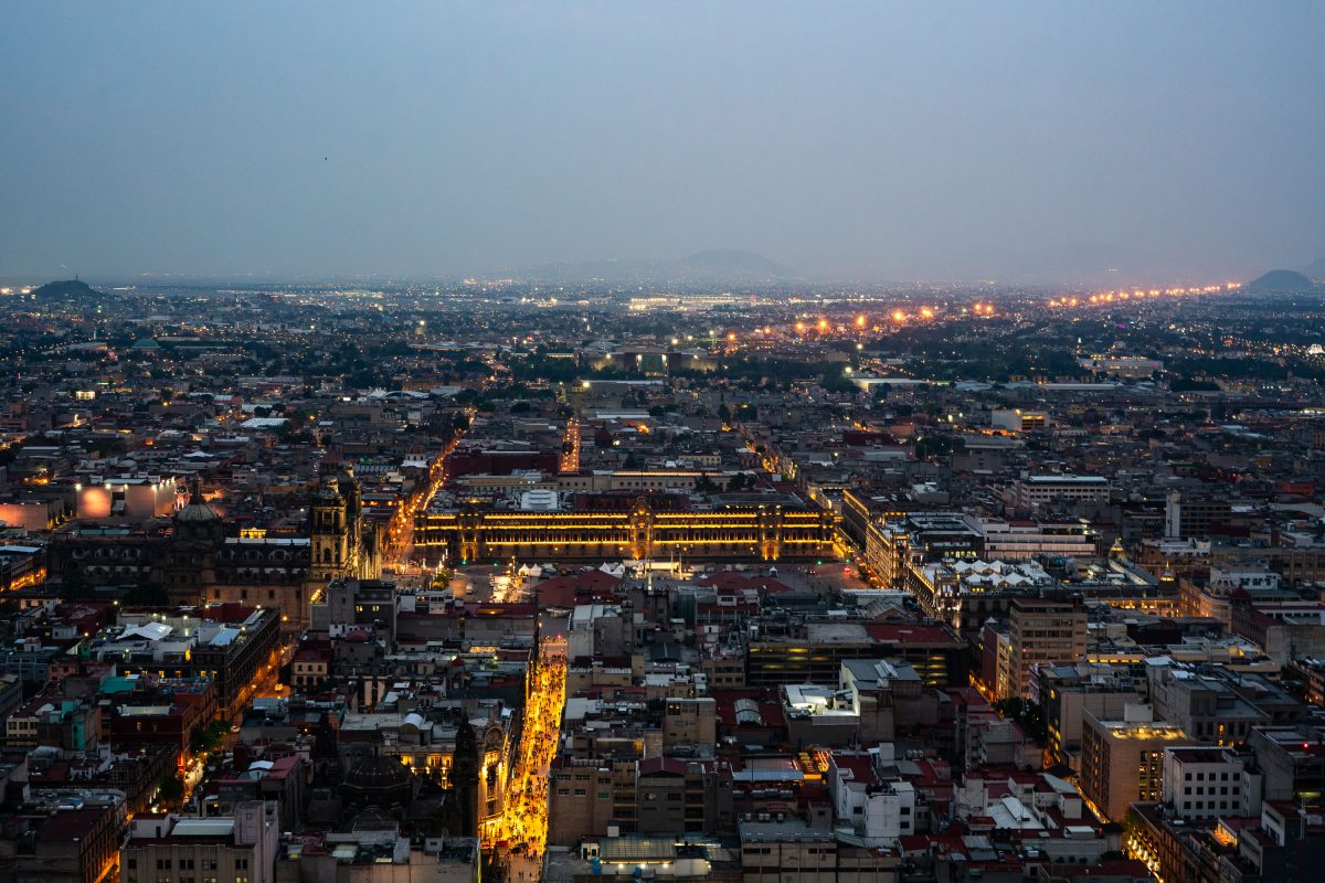
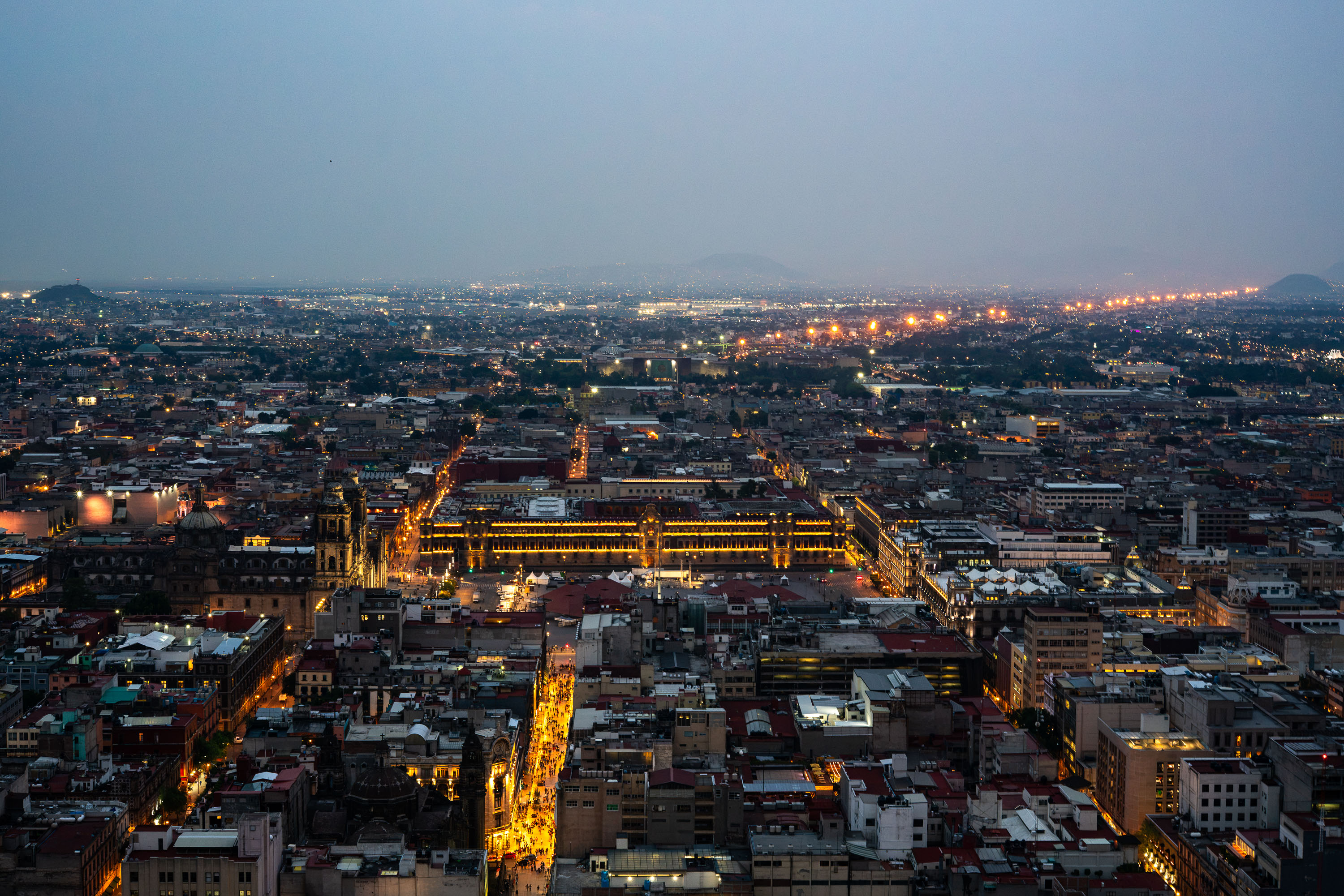
The Zócalo and National Palace with illuminated golden domes sit at the center of Mexico City's historic downtown at twilight.
The Zócalo, officially Plaza de la Constitución, sits at the center of this view, framed by the National Palace to the east and the Metropolitan Cathedral to the north. Built over the ruins of Tenochtitlan's sacred precinct, the square covers roughly 46,800 square meters, making it one of the largest public plazas in the world. Mexico City's historic center, a UNESCO World Heritage Site since 1987, radiates outward from this point in a grid laid out by Spanish colonizers in the 16th century. The metropolitan area beyond holds more than 21 million people, one of the largest urban populations on the planet.

Zócalo Illuminated at Dusk Over Mexico City’s Skyline

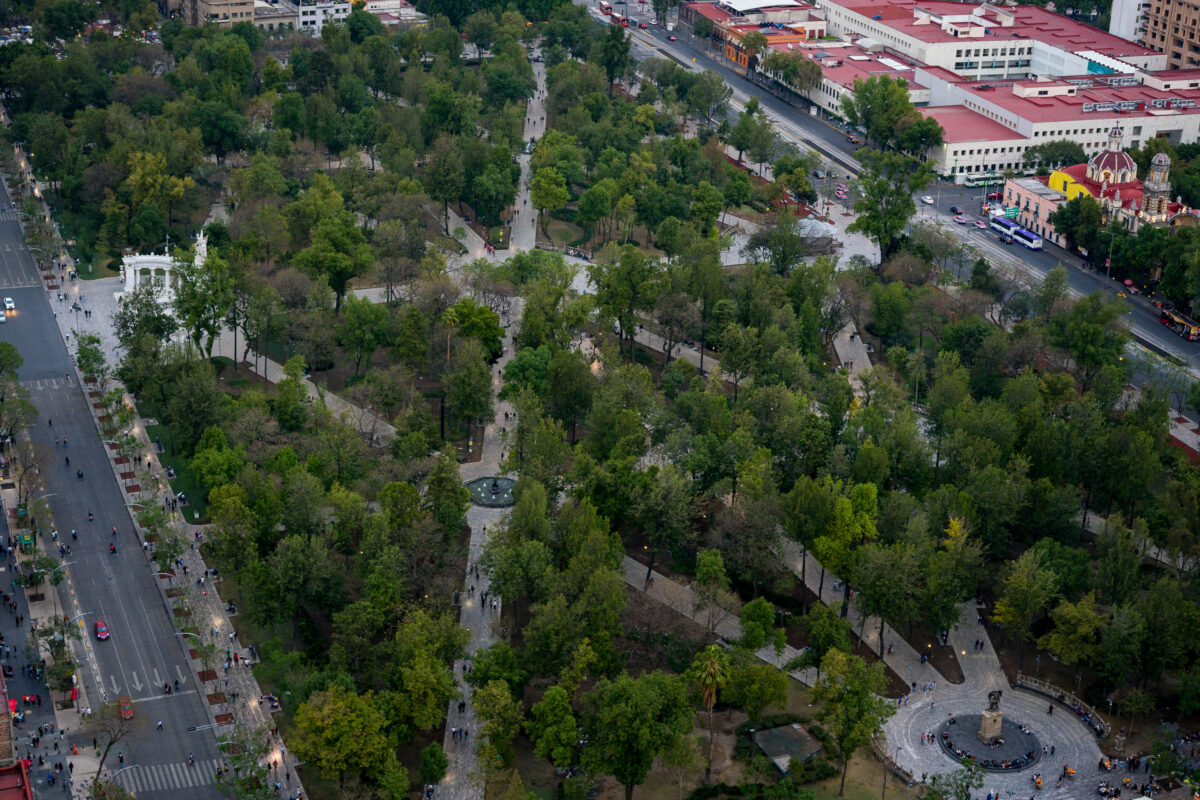
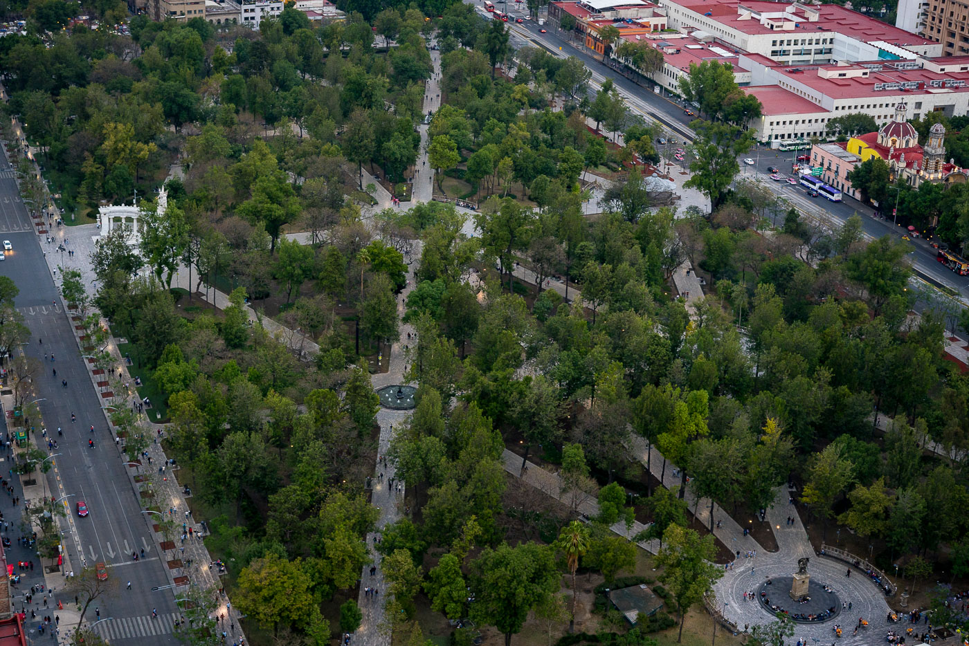
Aerial view of Alameda Central, Mexico City's oldest public park established in 1592, with surrounding historic buildings and streets.
Alameda Central in Mexico City’s Centro Histórico is the city’s oldest public park, established in 1592 and redesigned in the 19th century. The Hemiciclo a Juárez, a marble monument erected in 1910, stands at the park’s western edge. The park is bordered by major streets and civic buildings in the historic center.

Aerial View of Alameda Central Park, Mexico City

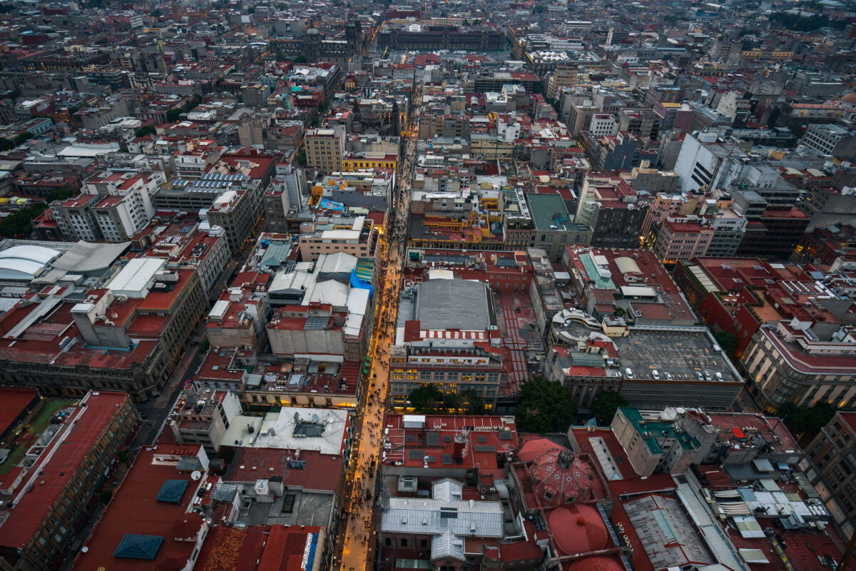
Aerial view of Calle Francisco I.
Calle Francisco I. Madero is a pedestrian street in Mexico City’s Centro Histórico, linking the Zócalo area with the Torre Latinoamericana. Pedestrianized in 2010, it runs through a dense corridor of historic buildings and commercial activity in the city center.

Aerial View of Calle Francisco I. Madero, Centro Histórico

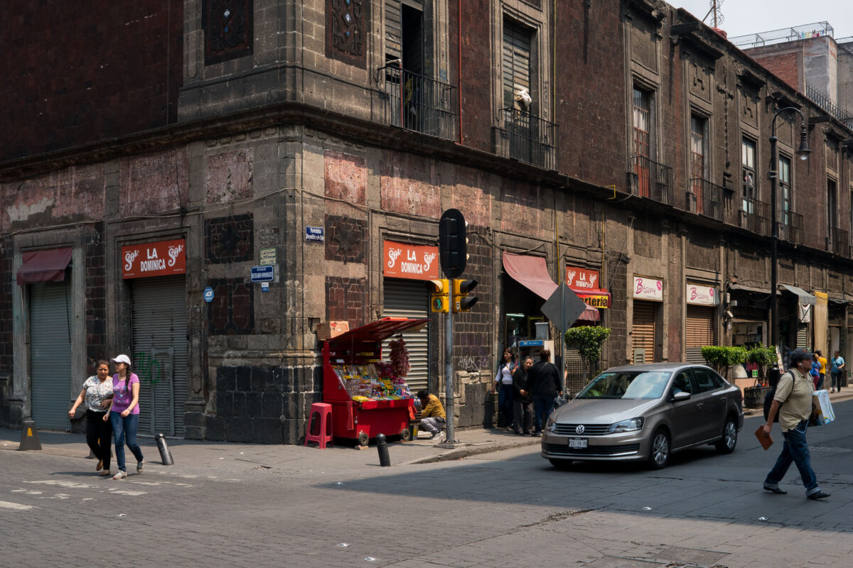
Street vendor stand at República de Uruguay and 5 de Febrero in Mexico City's Centro Histórico.
Calle República de Uruguay and Calle 5 de Febrero sit within Mexico City's Centro Histórico, a district laid out atop the former Aztec capital of Tenochtitlan and designated a UNESCO World Heritage Site in 1987. Many of the area's buildings date to the colonial and early 20th-century periods, when the blocks around the Zócalo served as the commercial core of New Spain and later independent Mexico. Small ground-floor storefronts and informal vendor stands have long operated alongside one another here, a pattern common throughout the historic center's narrow commercial corridors.

Corner Vendor Stand on Calle República de Uruguay, Mexico City

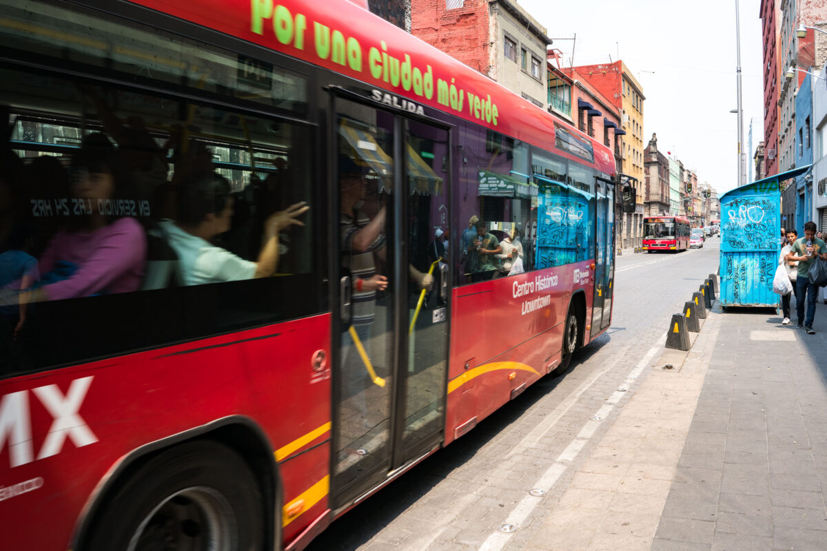
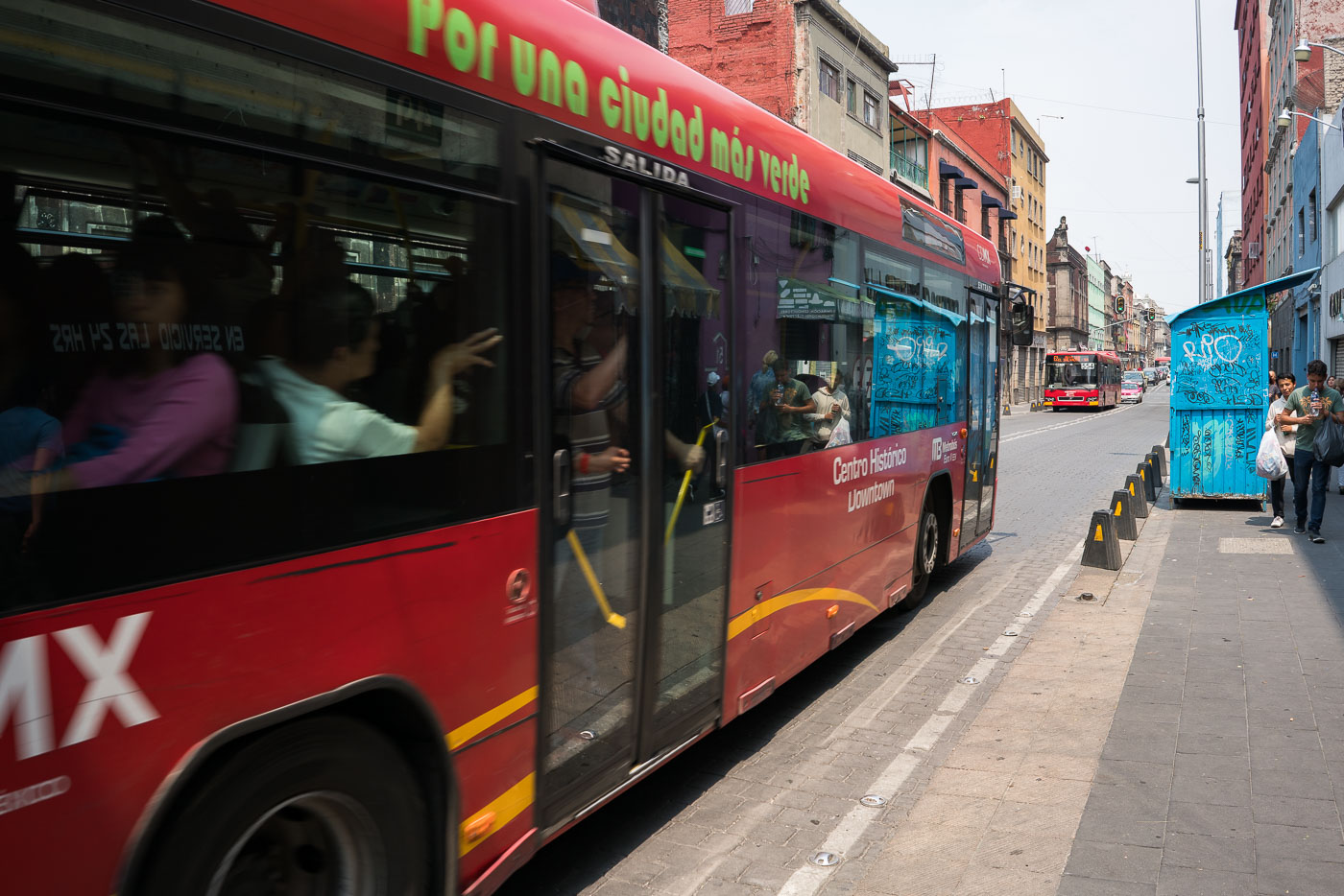
Red Metrobús rapid transit bus stopped on a street in Mexico City's Centro Histórico district.
Metrobús Line 4 runs through Mexico City's Centro Histórico, connecting the downtown core to the San Lázaro transit hub to the east. The line opened in 2012 as part of the city's bus rapid transit network, using dedicated lanes to move passengers through the dense historic district. Its buses carry the "Por una ciudad más verde" branding tied to the system's low-emission fleet initiative. Metrobús operates on a prepaid card system, with dedicated stations rather than standard curbside stops along most of its routes.

Metrobús Passengers Boarding on Calle Madero, Mexico City

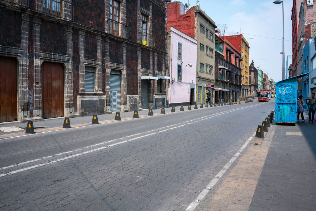
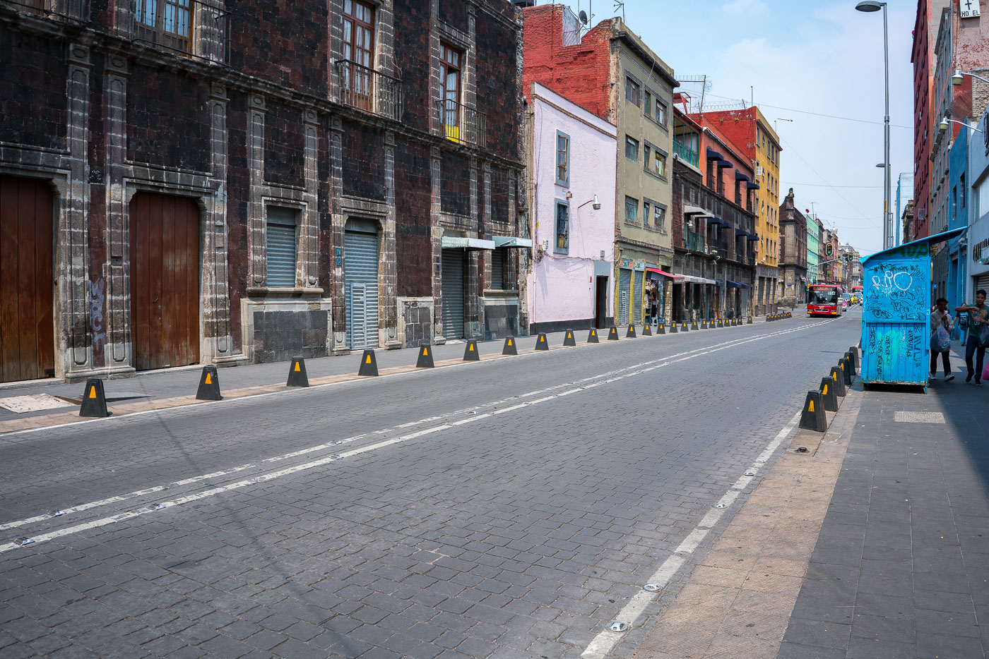
Calle República de Uruguay in Mexico City's Centro Histórico displays colonial and commercial buildings along a pedestrian-controlled street with basalt cobblestones.
Calle República de Uruguay in Mexico City’s Centro Histórico is a historic corridor linking the Zócalo area with Eje Central. The street retains colonial-era façades and later commercial buildings along one of the capital’s older thoroughfares. Basalt cobblestones and modern traffic controls mark its continued use as a central urban route.

Cobblestone Stretch of Calle República de Uruguay, Centro Histórico
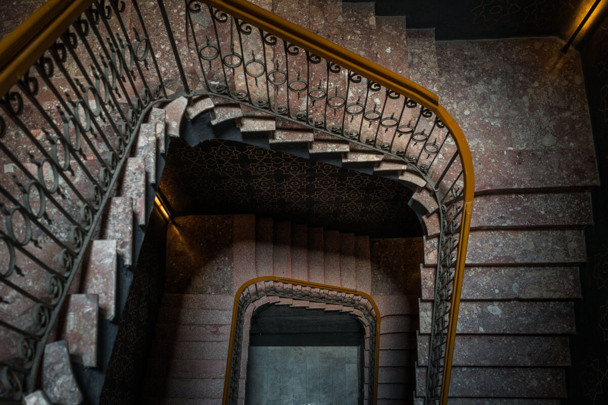
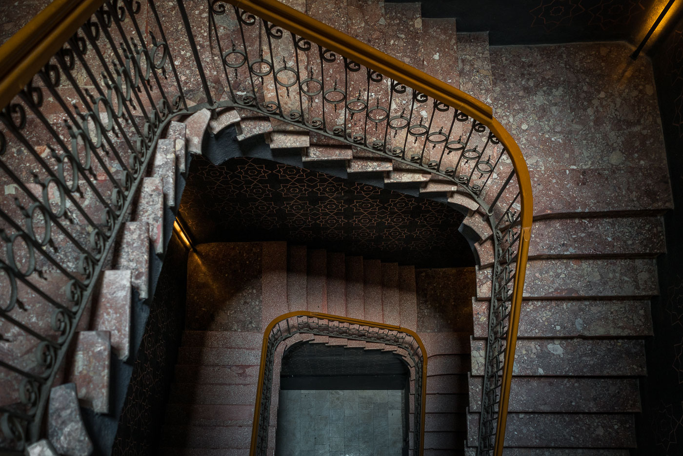
Spiral stairwell with wrought-iron railings and terrazzo steps in an early twentieth-century Mexico City hotel building.
This stairwell belongs to an early 20th-century hotel building in Mexico City, a period when terrazzo and wrought iron were common finishes in the city's grander interiors. Terrazzo — a composite of marble or granite chips set in cement or resin — was prized for its durability and low cost compared to solid stone, making it a frequent choice for stairs and floors in commercial buildings of that era. Wrought-iron railings with scrollwork patterns, like those seen in many Porfirian and early post-rary structures, were typically fabricated by local metalworkers rather than imported. Geometric tilework on stairwell ceilings and walls was a common decorative device in Mexico City buildings from the 1900s–1930s, often echoing Moorish or Art Nouveau influences popular in the capital at the time.

Terrazzo Spiral Staircase in a Centro Histórico Hotel
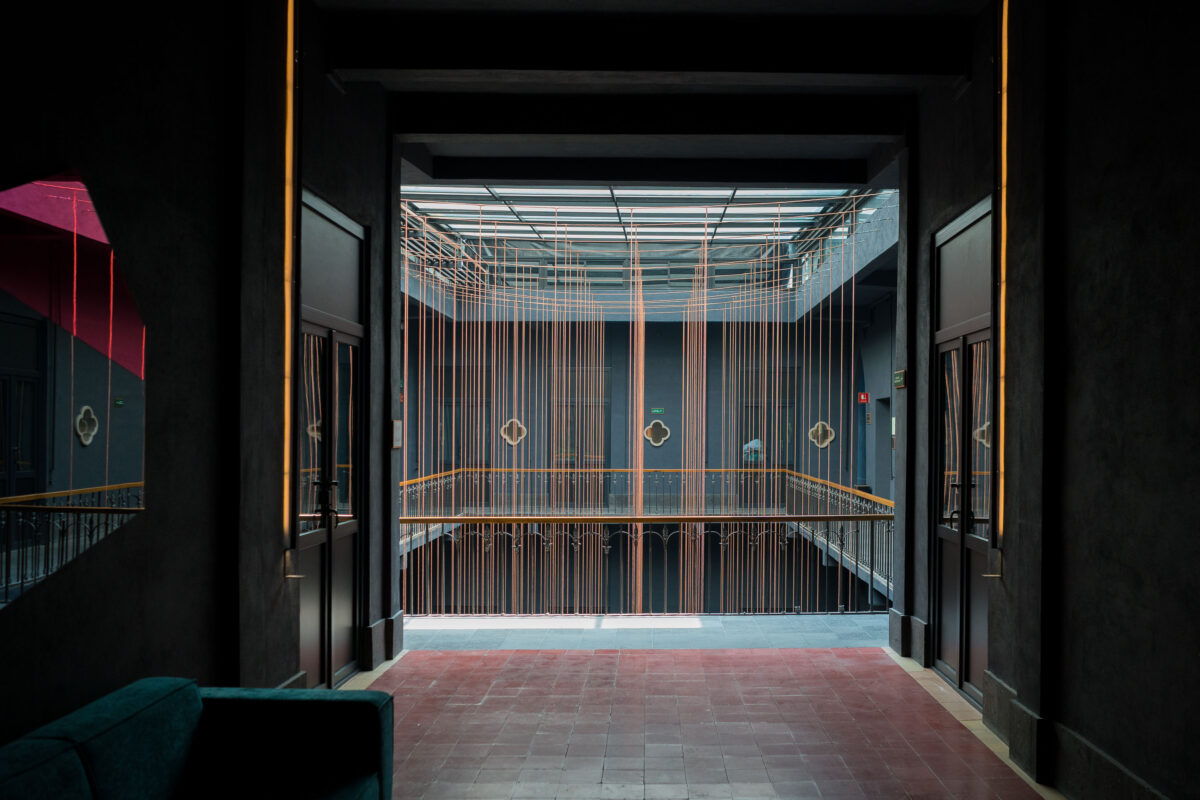
Contemporary copper-wire installation suspended within a historic Mexico City hotel atrium with multi-level galleries.
A boutique hotel atrium in Mexico City’s Centro Histórico combines a restored historic building with a contemporary interior installation. The space uses suspended copper-colored lines and minimalist lighting within a multi-level courtyard.

Suspended Copper Threads in a Mexico City Hotel Courtyard
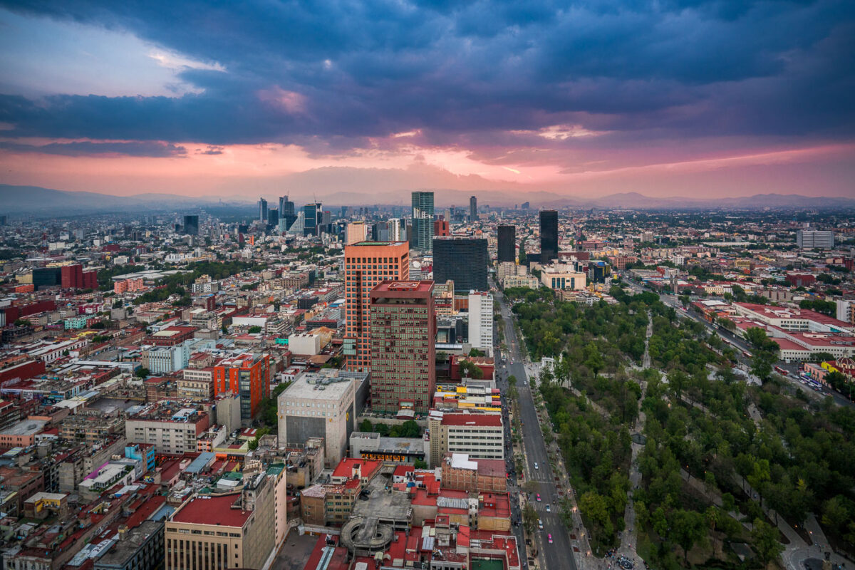
Mexico City skyline at dusk showing Paseo de la Reforma avenue, downtown towers, and Alameda Central park with mountains beyond.
Paseo de la Reforma in Mexico City runs north from the historic center toward the city’s modern business districts. The broad avenue is one of the capital’s main arteries and passes landmarks such as the Alameda Central and the Torre Latinoamericana area. Here it appears at dusk beside the tree-lined expanse of Alameda Central and surrounding high-rise development.

Aerial View of Paseo de la Reforma Toward the Alameda Central at Dusk
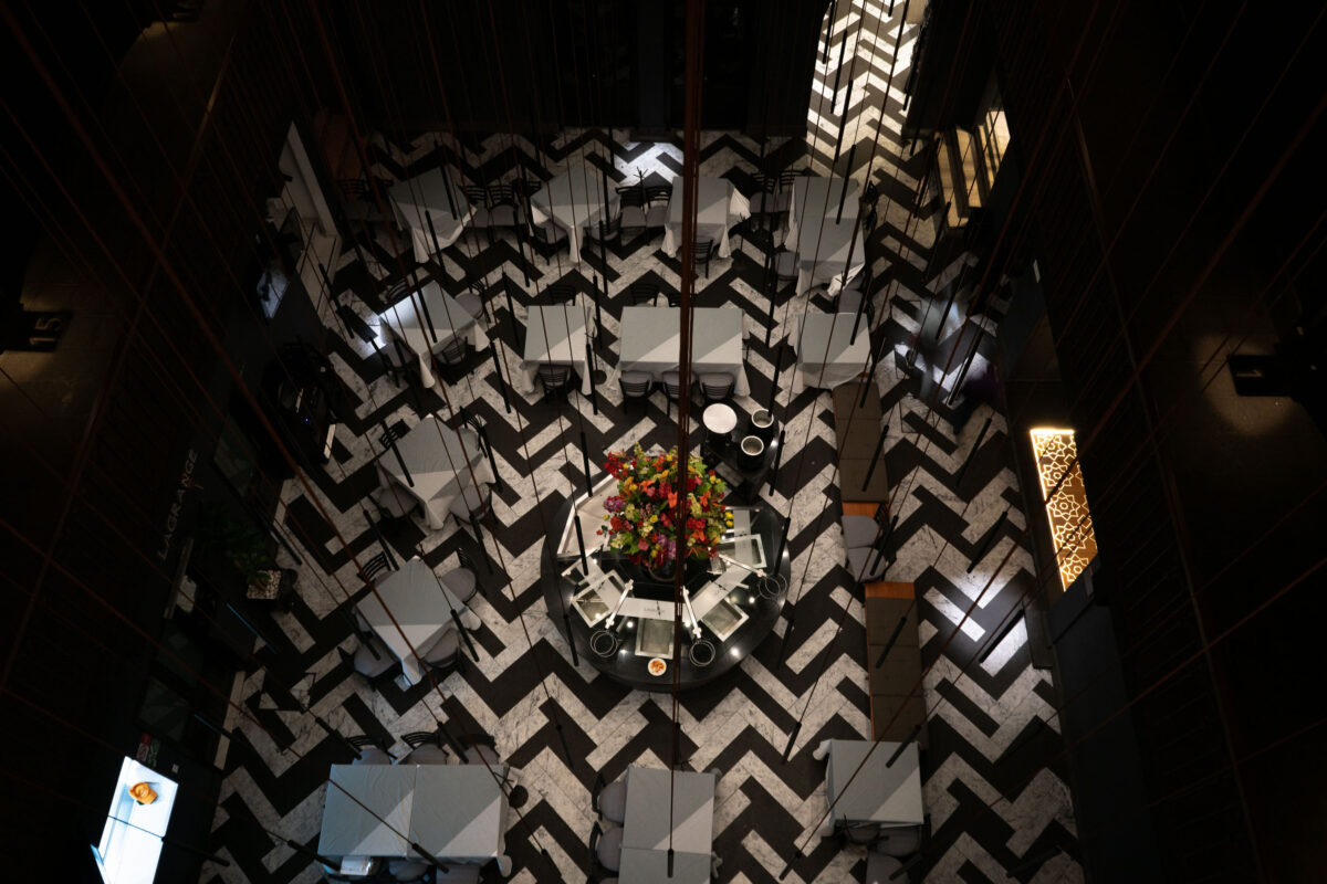
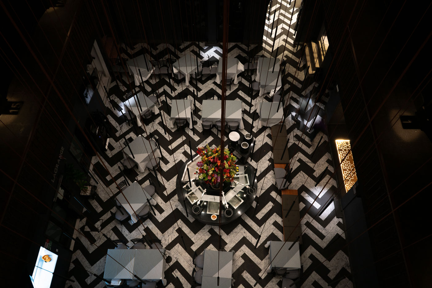
Overhead view of Hotel Punta MX restaurant dining room with black-and-white chevron floor and central floral arrangement in Mexico City.
Hotel Punta MX Restaurant in Mexico City occupies a dining room with a black-and-white chevron floor pattern. The restaurant is part of Hotel Punta MX, a downtown property near the historic center. Its tables are arranged around a central decorative display, creating a formal dining layout.

Chevron-Floored Dining Room at Hotel Punta MX
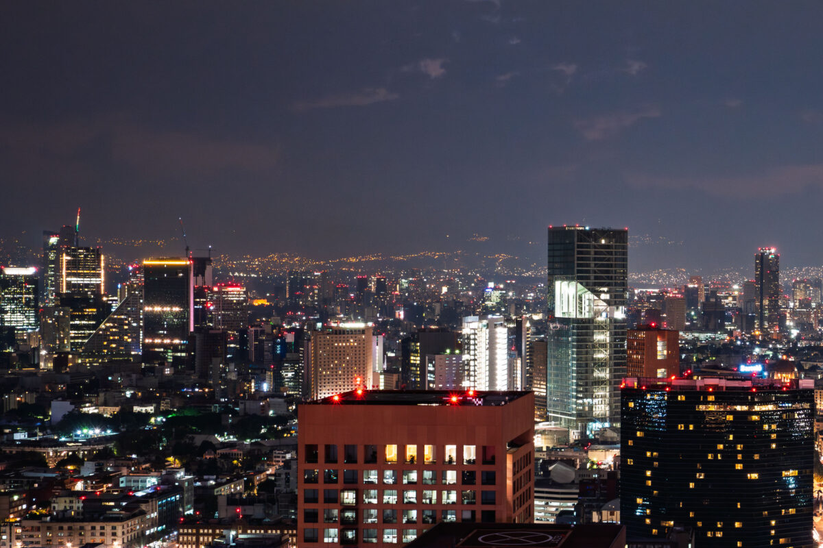
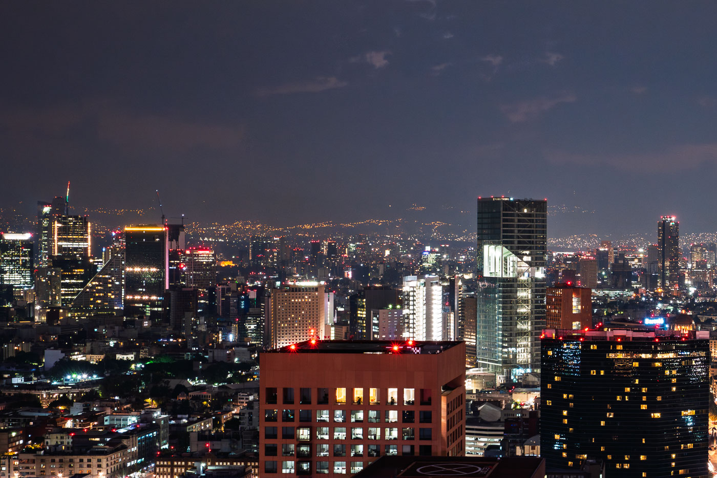
Mexico City skyline at night showing illuminated high-rise buildings and downtown towers with mountains visible in the distant background.
Mexico City skyline at night. The city is the capital of Mexico and one of the largest metropolitan areas in the Americas. Its central business districts contain many of the country’s tallest office and residential towers.

Mexico City’s Illuminated Towers After Dark
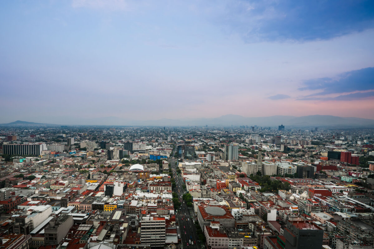
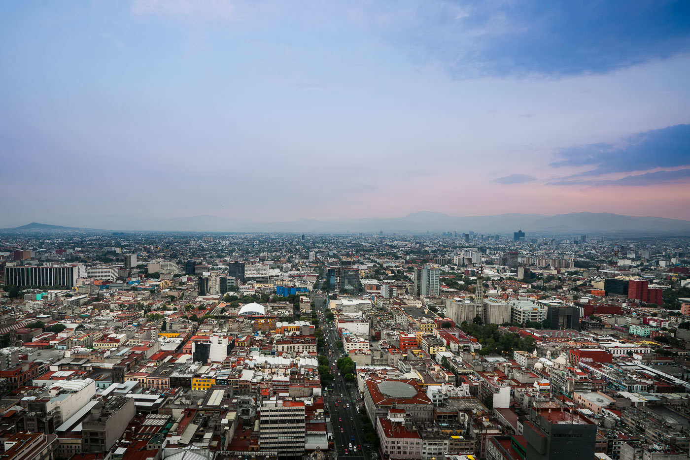
Mexico City's Centro Histórico and surrounding neighborhoods extend across the Valley of Mexico, viewed from Torre Latinoamericana.
Mexico City’s Centro Histórico and surrounding districts extend across the Valley of Mexico, viewed from the Torre Latinoamericana. Eje Central runs through the middle of the city, and the white dome of Arena Coliseo is visible near the center-left. The distant ridgelines frame the capital’s dense central grid and modern commercial areas.

Eje Central and Arena Coliseo at Dusk, Mexico City
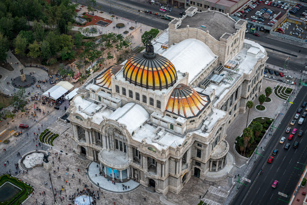
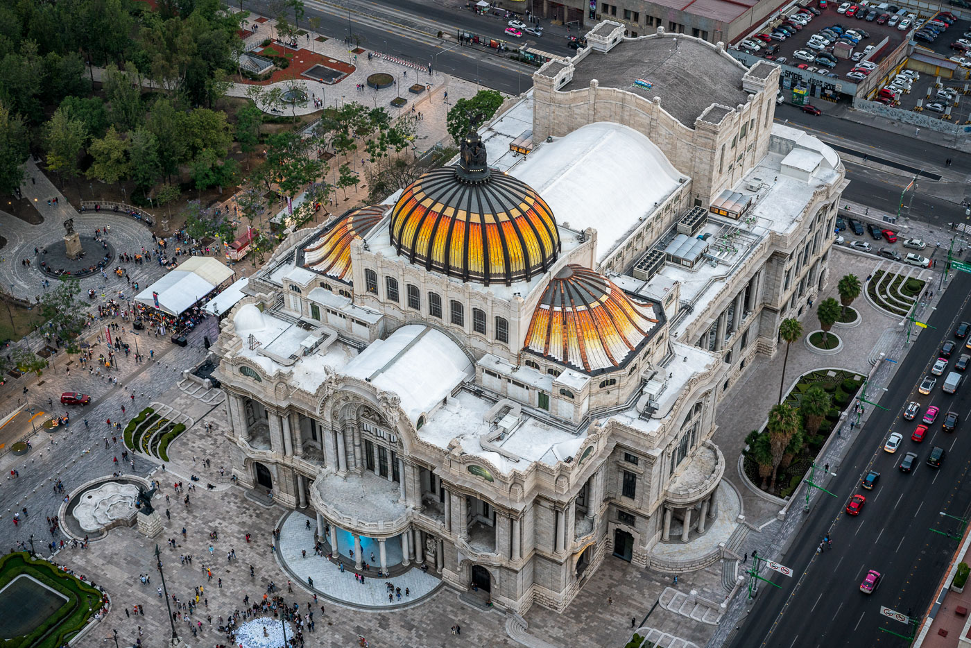
Aerial view of Palacio de Bellas Artes with its distinctive golden domes, surrounded by plazas and adjacent buildings in Mexico City's historic center.
Palacio de Bellas Artes in Mexico City is a major performing arts venue and museum on the edge of Alameda Central. Construction began in 1908 and the building opened in 1934, combining Art Nouveau and Art Deco design. It houses murals by major Mexican artists and is one of the city’s best-known cultural landmarks.

Aerial View of Palacio de Bellas Artes’ Domes
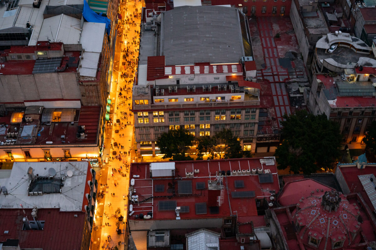
Calle Francisco I. Madero in Mexico City's Centro Histórico with evening pedestrian traffic.
Calle Francisco I. Madero in Mexico City's Centro Histórico runs between the Torre Latinoamericana area and the Zócalo. The pedestrian corridor is one of the historic center's main east-west routes, linking shops, offices, churches, and public plazas. Evening foot traffic concentrates along the narrow street as surrounding buildings remain in use after dark.

Calle Madero, Mexico City Historic Center
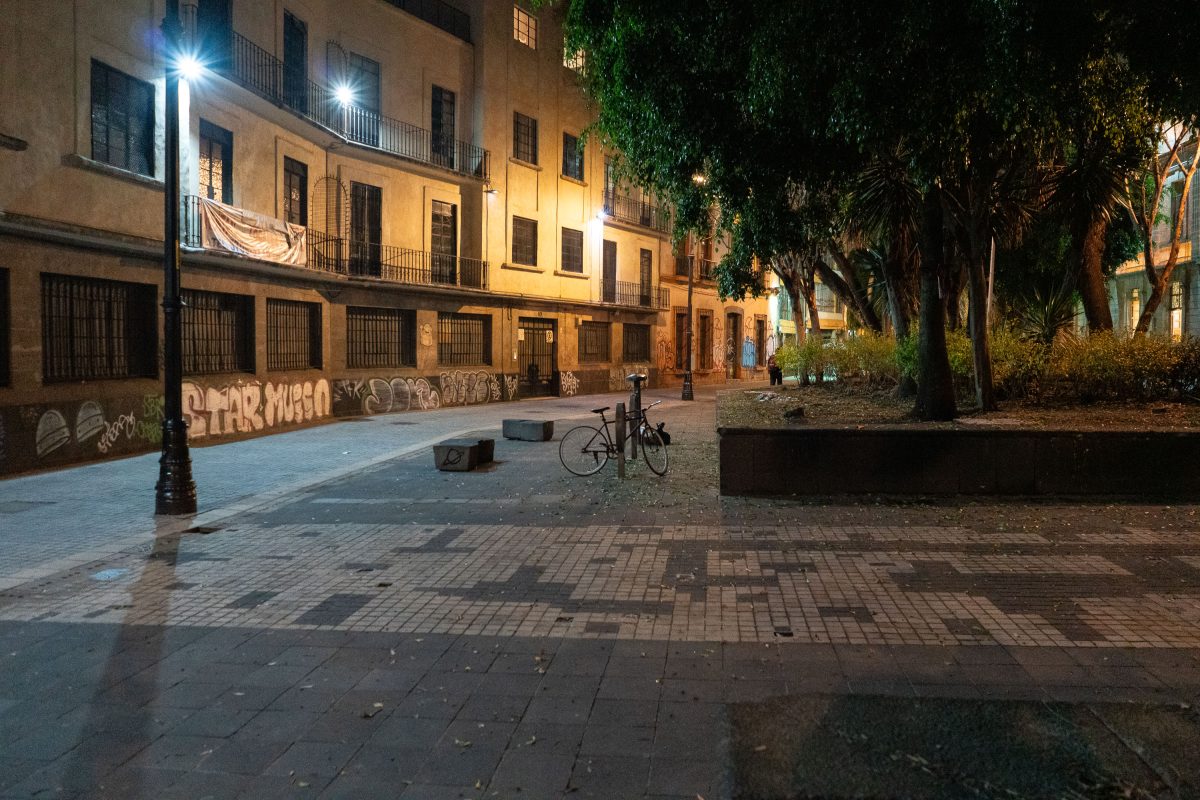
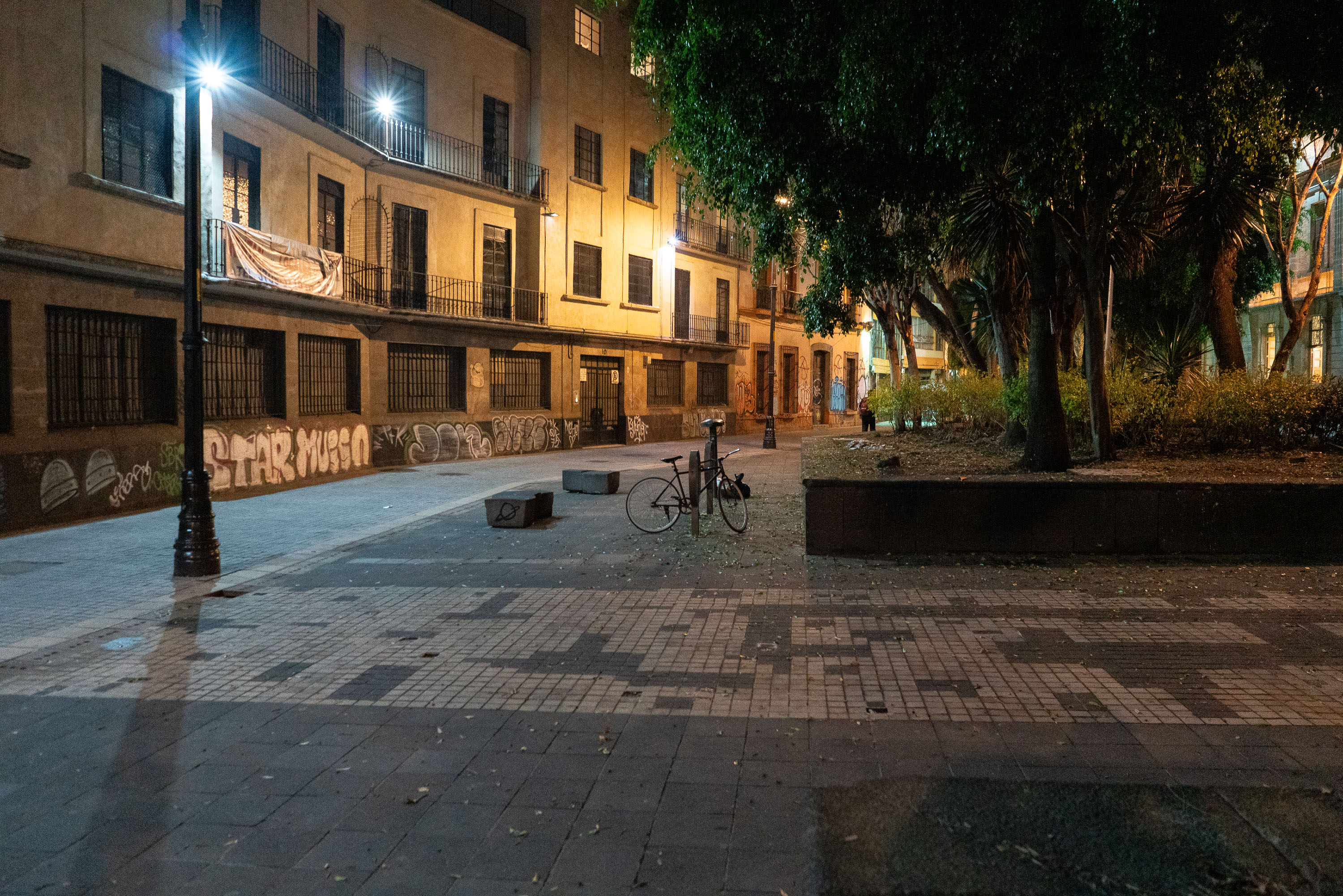
Empty street at night on Calle de Regina in Mexico City's Centro Histórico, with a parked bicycle and graffiti-covered walls.
Calle de Regina runs through the Centro Histórico of Mexico City, a district settled atop the ruins of Tenochtitlan and designated a UNESCO World Heritage Site in 1987. The street sits within the Regina neighborhood, known for its mix of 19th-century apartment buildings and small plazas that once served as informal gathering points for residents. Graffiti and layered posters on many building walls here reflect years of street art and political messaging common throughout the historic center. Streetlights along the corridor are part of the city's broader effort to improve pedestrian safety in older residential blocks after dark.

Calle de Regina at Night, Centro Histórico, Mexico City
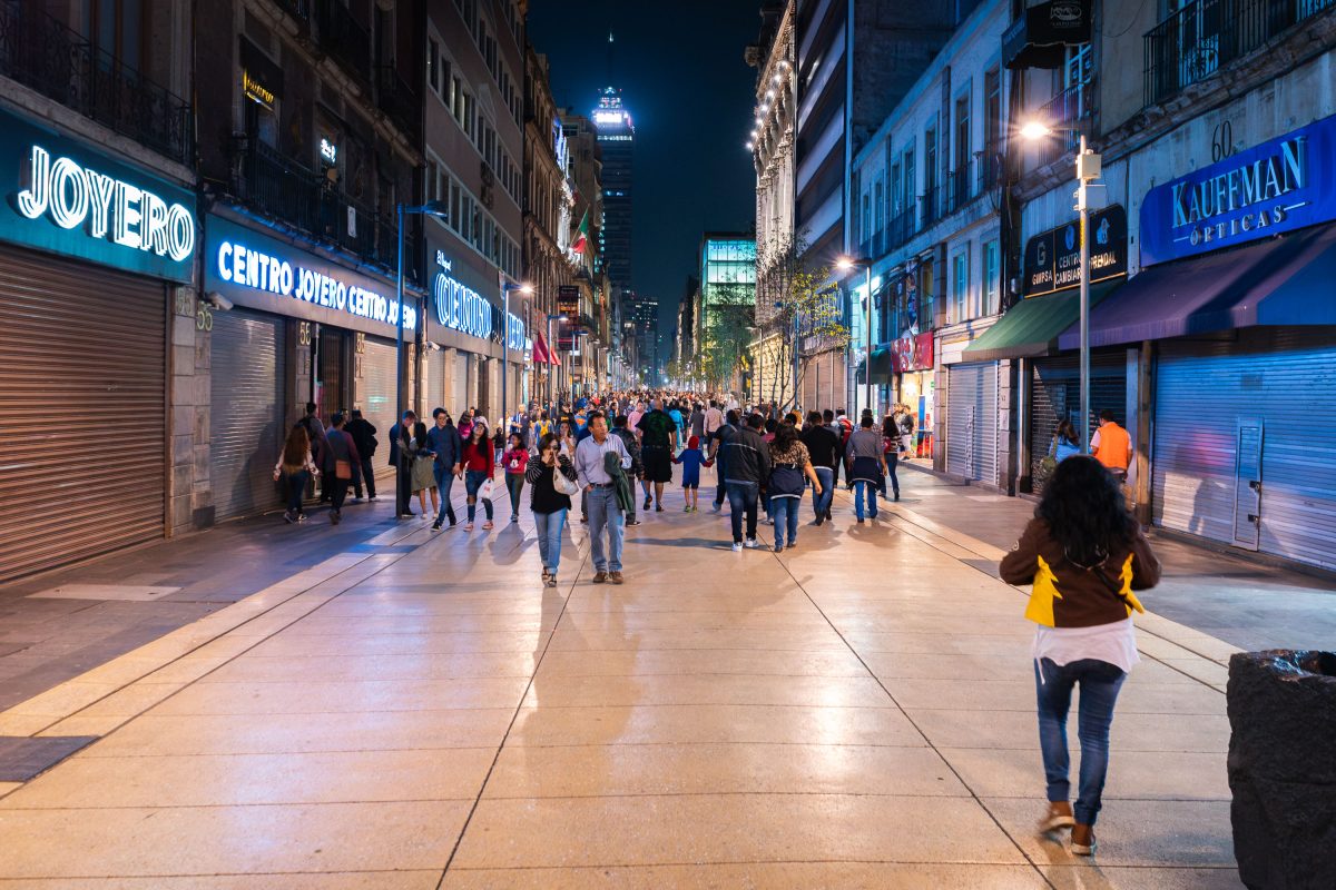
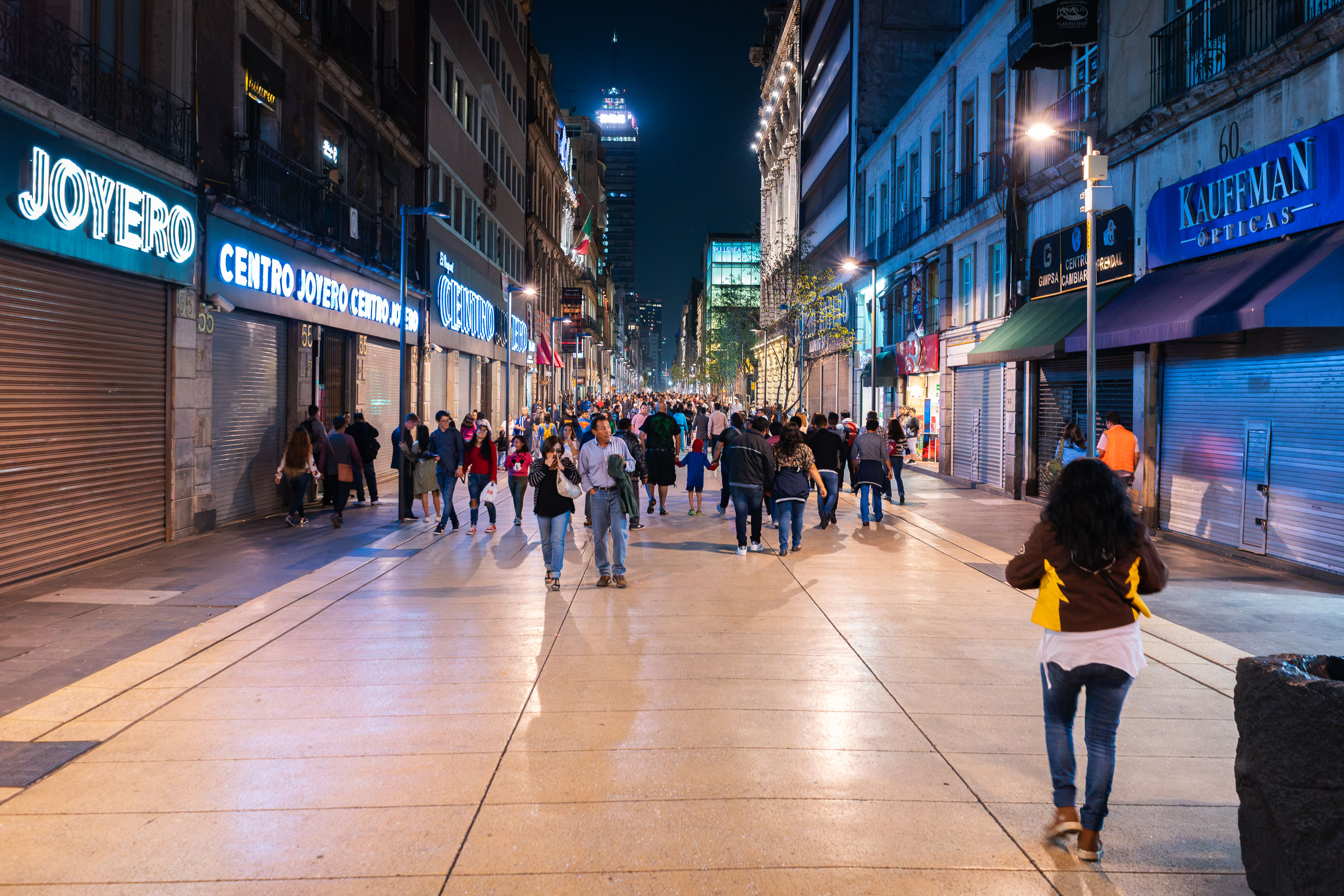
Pedestrians walk along Calle Madero, a vehicle-free street in Mexico City's Centro Histórico lined with illuminated storefronts and historic buildings at night.
Calle Madero runs through the Centro Histórico of Mexico City, linking the Zócalo to the Alameda Central near the Torre Latinoamericana. The city closed the street to vehicle traffic in 2010, turning it into a pedestrian corridor lined with jewelry shops, opticians, and retail storefronts occupying early 20th-century buildings. Many of the structures along the route date to the Porfiriato era, when the street was known as Plateros before being renamed for rary leader Francisco I. Madero. The corridor remains one of the most heavily trafficked pedestrian routes in the historic center, connecting to Mexico City's ongoing preservation efforts for the district, which UNESCO designated a World Heritage Site in 1987.

Crowds Walking Pedestrian Calle Madero After Dark
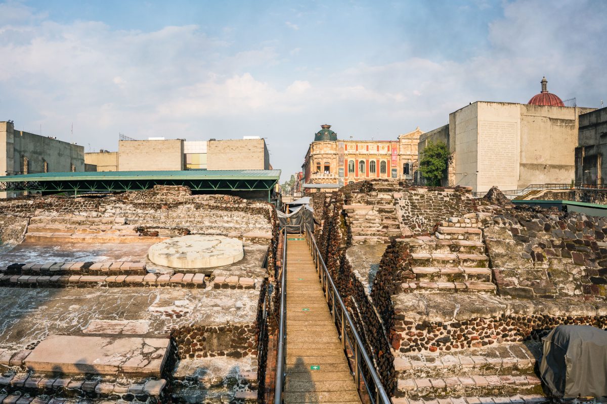
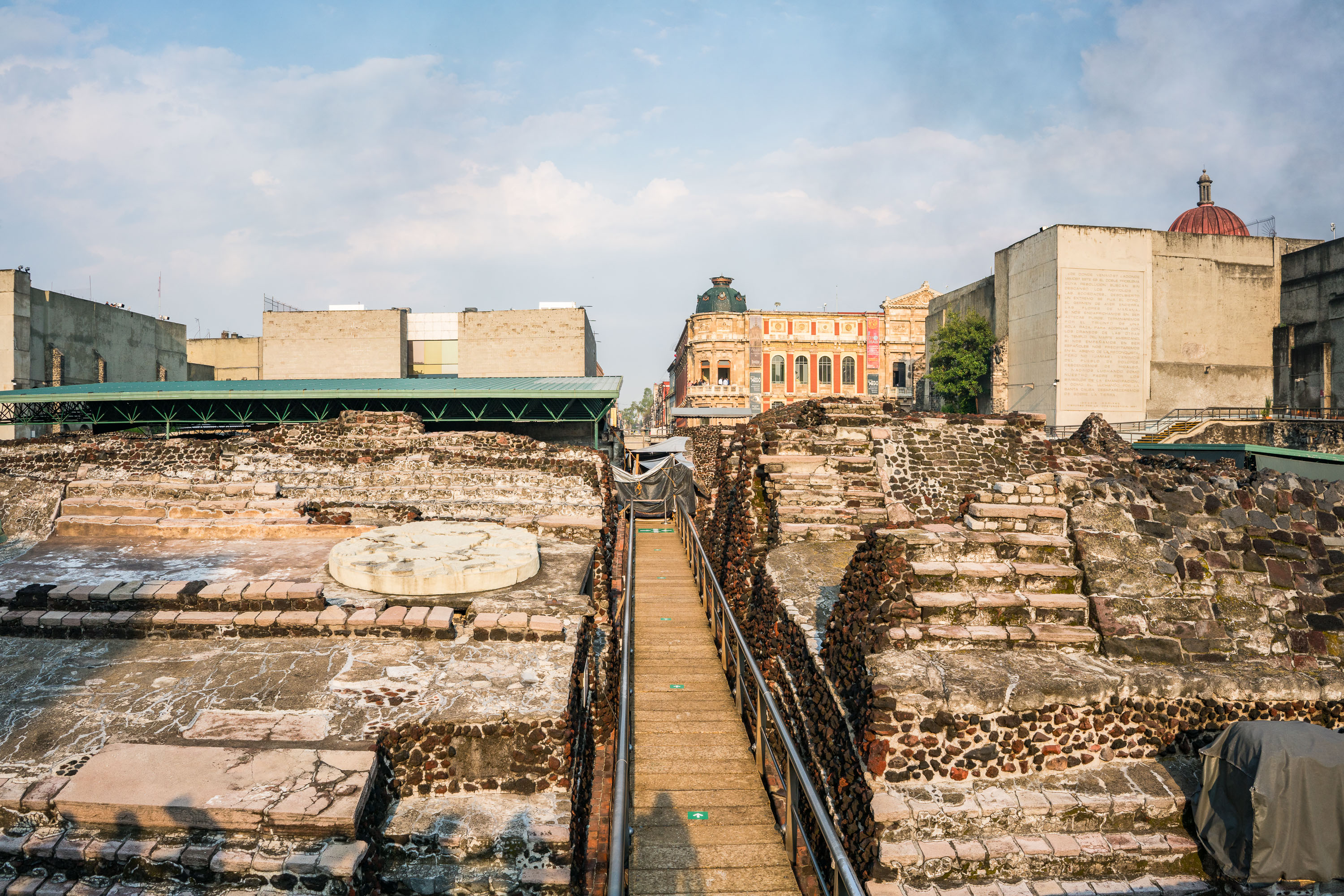
Templo Mayor archaeological site in Mexico City displays layered stone foundations with a wooden walkway, colorful colonial buildings visible beyond.
The Templo Mayor was the principal temple of the Aztec capital Tenochtitlan, dedicated to the gods Huitzilopochtli and Tlaloc. Spanish conquistadors demolished the structure in 1521 to build Mexico City atop its remains, and the site lay buried until construction workers rediscovered it in 1978. Archaeologists have since uncovered seven successive construction phases, dating from roughly 1325 to 1519, along with thousands of offerings buried within the temple platforms. The adjacent museum, opened in 1987, houses artifacts recovered from the excavation, including the massive stone disc depicting the dismembered goddess Coyolxauhqui. The ruins sit just northeast of the Zócalo, in the heart of Mexico City's historic center.

Walkway Through the Templo Mayor Excavation Site
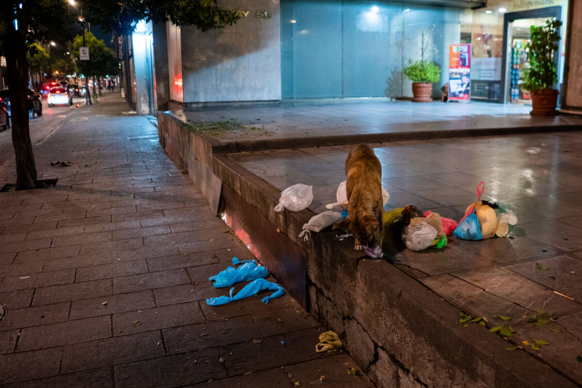
A brown stray dog scavenges through discarded plastic bags and trash on a nighttime Mexico City street.
Stray dogs are a common sight on the streets of Mexico City, where an estimated population in the millions lives without owners, according to city animal welfare estimates. Many survive by scavenging food waste left outside restaurants, storefronts, and market stalls. Mexico City's government has run sterilization and adoption campaigns for decades to manage the street dog population, though enforcement and resources vary by neighborhood. Discarded plastic bags and food scraps left curbside overnight remain a primary food source for animals living outside the formal shelter system.

Stray Dog Scavenging Trash on a Mexico City Sidewalk
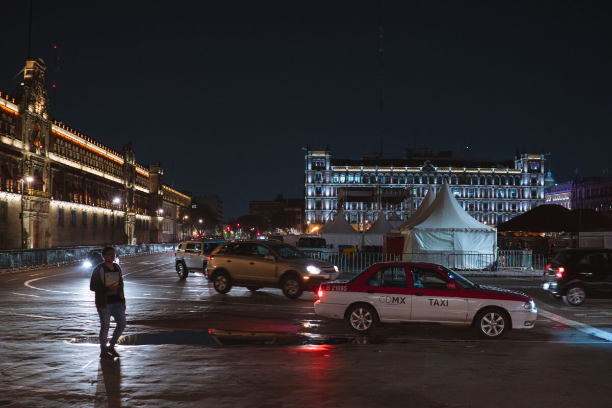
A red-and-white CDMX taxi crosses the Zócalo in Mexico City at night, with the illuminated National Palace and Metropolitan Cathedral in the background.
The Zócalo, officially Plaza de la Constitución, has served as the ceremonial and political center of Mexico City since the Aztec era, when the site anchored the sacred precinct of Tenochtitlan. Covering roughly 46,800 square meters, it ranks among the largest public squares in the world. The National Palace, seat of the federal executive, lines its eastern side, while the Metropolitan Cathedral stands to the north. Taxis registered with the CDMX system, marked by their red-and-white livery, are a regular presence in the plaza as part of the city's licensed taxi fleet.

Taxi and Traffic Near Palacio Nacional at Night
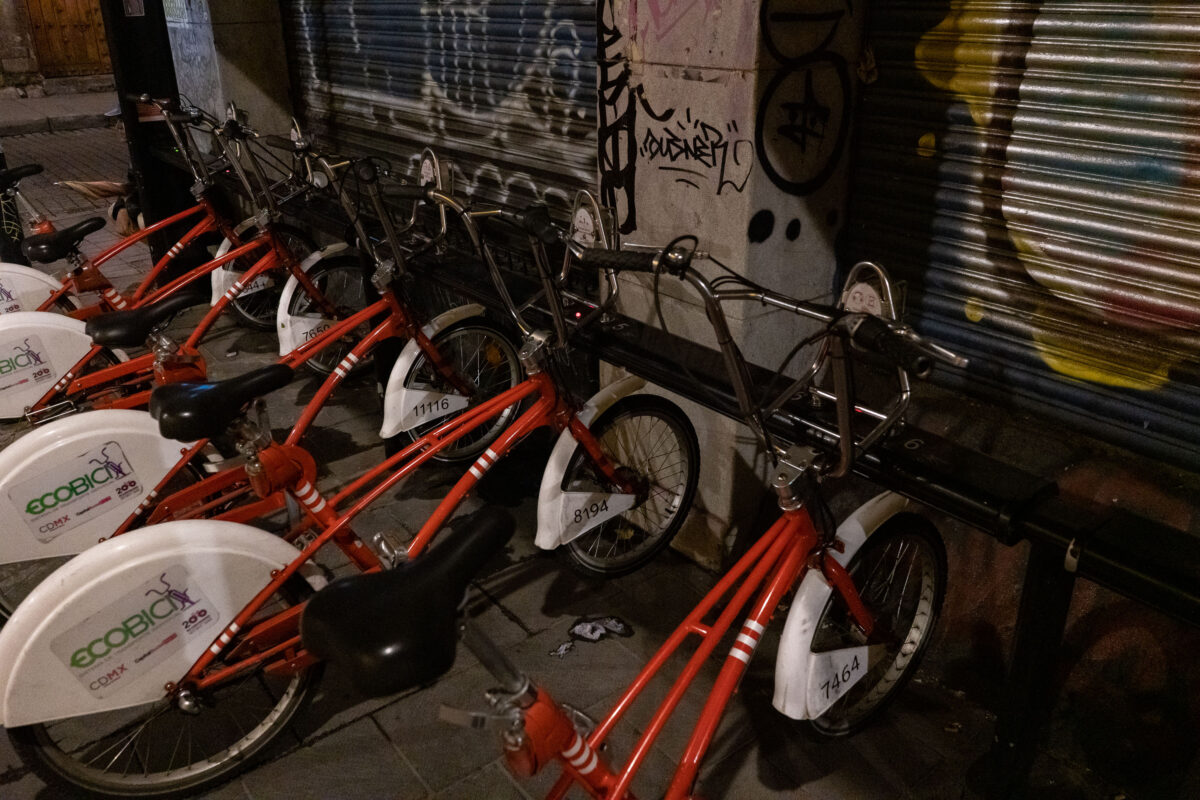
Red Ecobici bicycles docked at a station in Mexico City's Centro Histórico district at night.
Ecobici is Mexico City's public bicycle-sharing system, operated by the city government since its 2010 launch. The system began with 85 stations and about 1,100 bicycles in the Centro Histórico and Colonia Roma, and has since expanded to hundreds of stations across several boroughs. Riders unlock bicycles with a card or mobile app for short trips, then return them to any dock in the network. Each bicycle carries a numbered identification tag for tracking and maintenance across the fleet.

Ecobici Bikes Parked Beside Graffitied Shutters, Mexico City
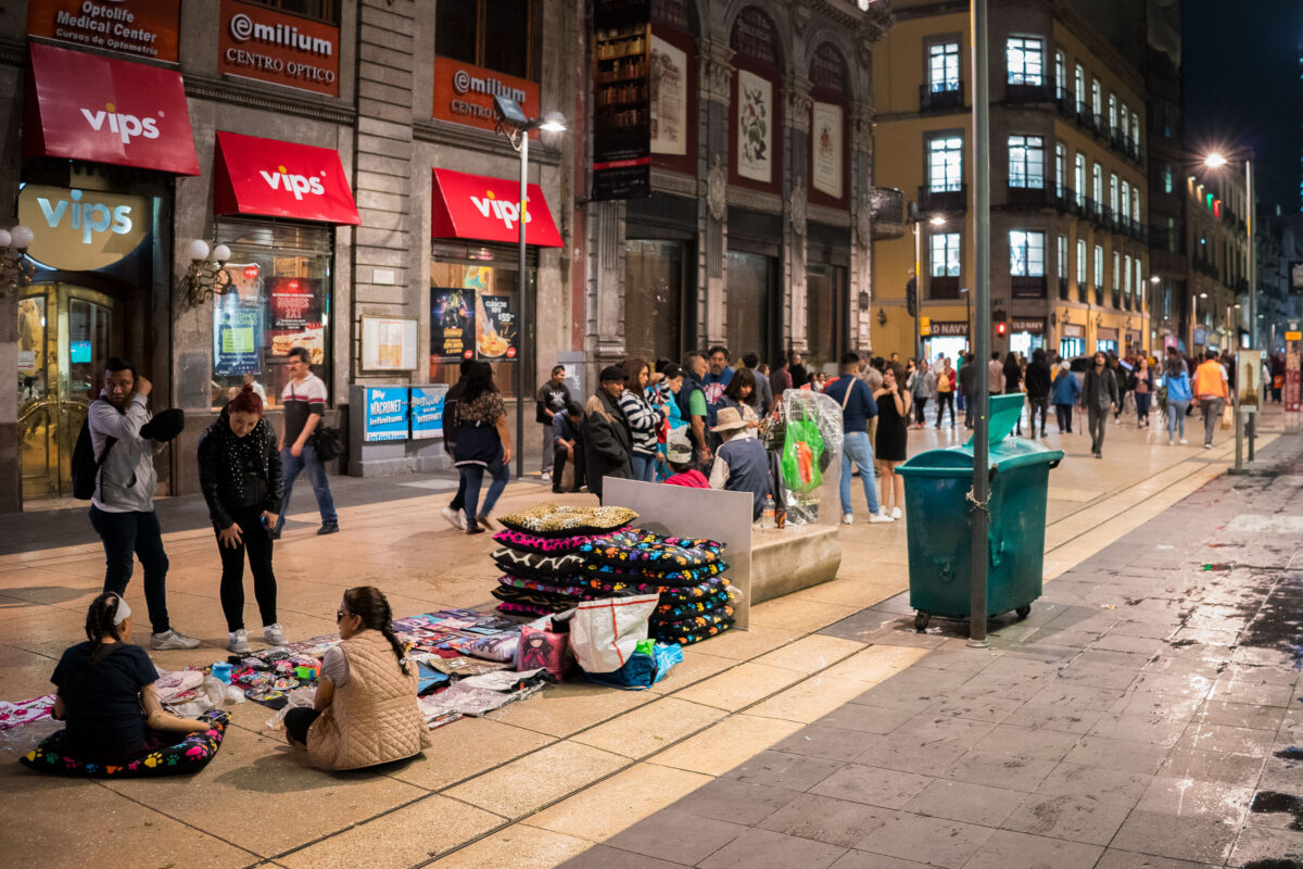
Street vendors sell colorful blankets and pillows on Avenida Francisco I. Madero in Mexico City's Centro Histórico at night.
Avenida Francisco I. Madero runs for eight blocks through Mexico City's Centro Histórico, connecting the Zócalo to the Palacio de Bellas Artes. The street was pedestrianized in 2010 and is lined with early 20th-century buildings that now house chain retailers, optical shops, and the VIPS restaurant franchise. Vendors selling blankets, pillows, and other goods commonly set up along the pavement here, part of the informal commerce that has long operated alongside the street's licensed businesses.

Sidewalk Vendors Outside Vips on Calle Madero
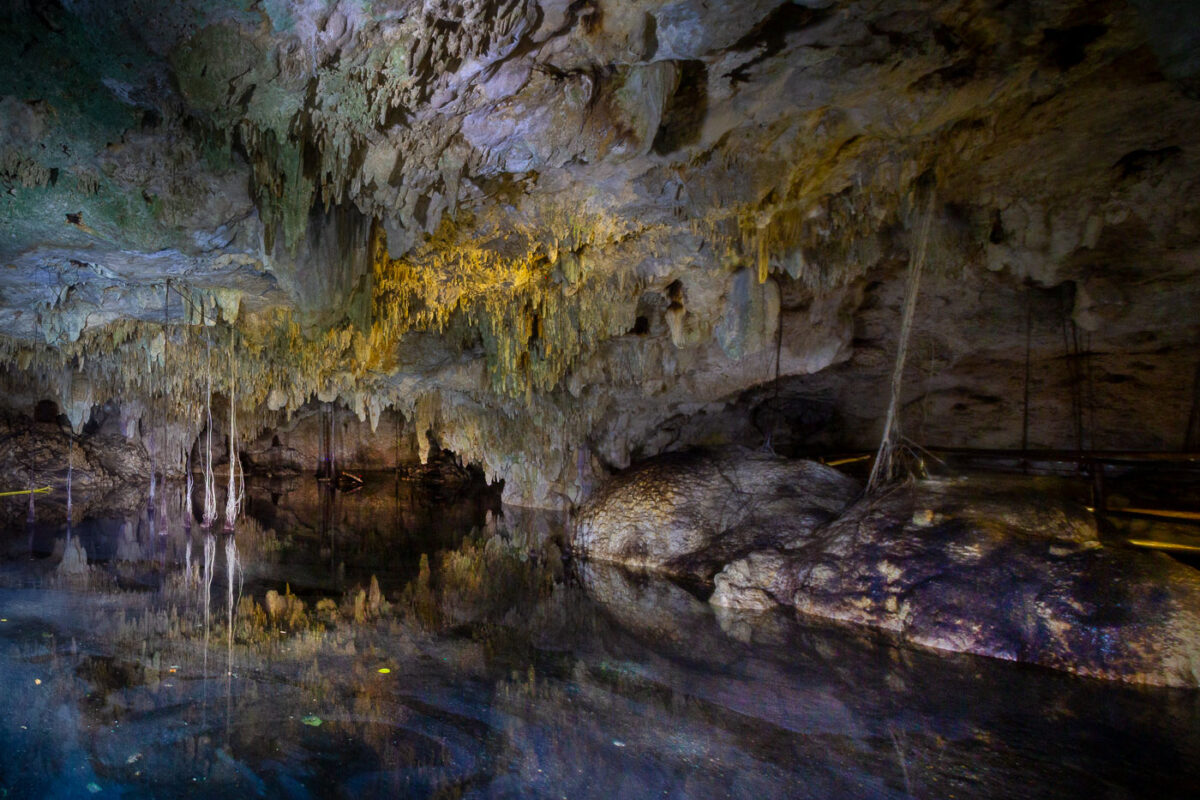
Cenote cave interior near Playa del Carmen with limestone formations and a freshwater pool.
Cenote cave interior near Playa del Carmen, Mexico, contains limestone formations and a freshwater pool. Cenotes form where limestone bedrock collapses or dissolves, exposing groundwater in the karst aquifer of the Yucatán Peninsula. Many cenotes in the region were used by Maya communities for water access and ritual activity, and some are now managed for swimming, snorkeling, or cave diving.

Stalactites and Still Water Inside a Yucatán Cenote
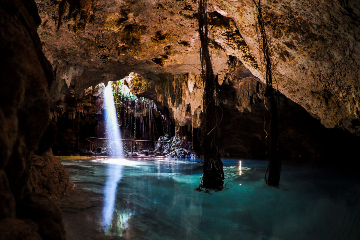
A cave cenote near Playa del Carmen, Mexico, contains turquoise water, stalactites, and hanging roots.
A limestone cenote near Playa del Carmen, Mexico, contains a clear pool inside a cave chamber with stalactites and hanging tree roots. Cenotes form where limestone bedrock collapses or dissolves, exposing groundwater in the karst landscape of the Yucatán Peninsula. Walkways and rope lines provide controlled access to the water in this managed cave pool.

Sunlight Beam Through a Cenote Cave Near Playa del Carmen
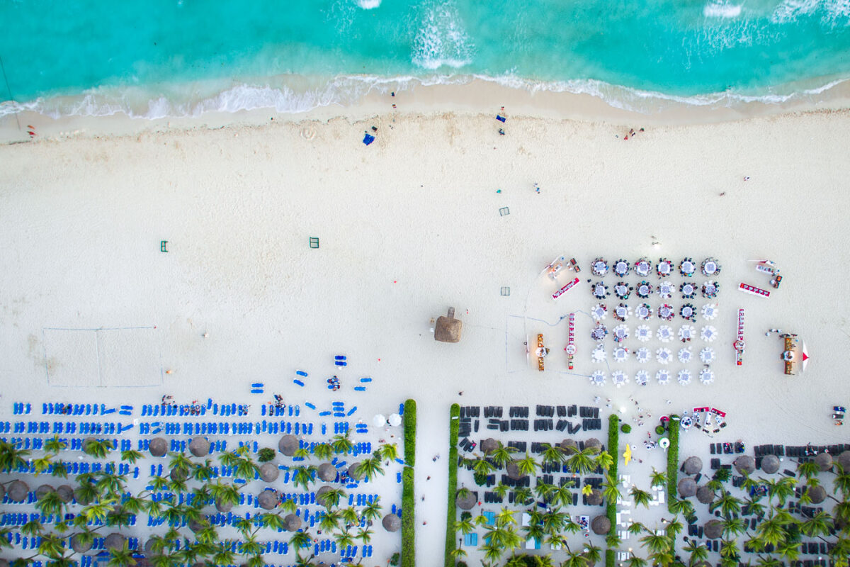
Beach dining setup at Sandos Playacar Beach Resort in Playa del Carmen, Mexico.
Beach dining setup at Sandos Playacar Beach Resort in Playa del Carmen, Mexico, includes rows of round tables arranged on the sand near the Caribbean shoreline. The resort beach area also includes lounge chairs, palapas, and palm-lined sections along the water. Sandos Playacar is in the Playacar resort zone south of central Playa del Carmen on the Riviera Maya.

Beach Dining Setup at Sandos Playacar, Playa del Carmen
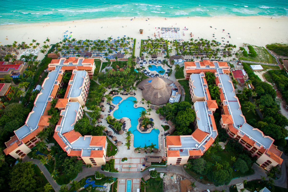
Sandos Playacar Beach Resort lines the beach in Playa del Carmen, Mexico.
Sandos Playacar Beach Resort is a beachfront hotel complex in Playa del Carmen, Mexico. The property includes terracotta-roofed guest buildings, landscaped pool areas, palapa structures, and direct access to a white-sand beach along the Caribbean Sea. The resort operates under the Sandos Resorts brand in the Playacar area.

Sandos Playacar Resort Beachfront Pools, Playa del Carmen
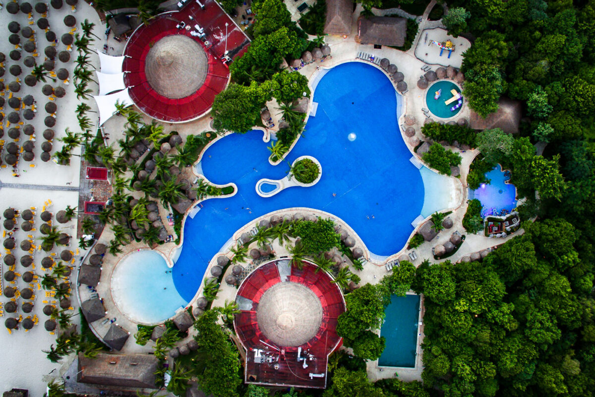
The Iberostar Tucan and Quetzal pool complex is in Playa del Carmen, Mexico.
The Iberostar Tucan and Iberostar Quetzal pool complex in Playa del Carmen, Mexico, includes interconnected swimming pools between the beachfront and landscaped resort grounds. Thatched shade palapas, lounge areas, and circular pavilion structures border the pools, with beach seating and palm-lined paths nearby. The adjacent Iberostar properties are located along the Riviera Maya coast in the Playacar area.

Iberostar Tucan and Quetzal Pool Complex, Playa del Carmen
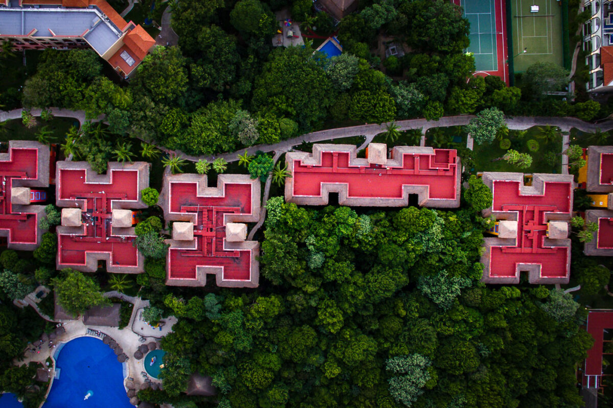
Iberostar Tucan Resort grounds in Playa del Carmen include red-roofed buildings, pools, tennis courts, and dense landscaping.
Iberostar Tucan Resort grounds in Playa del Carmen, Mexico, include red-roofed guest buildings set among dense tropical landscaping. The hotel complex includes pedestrian paths, swimming pools, and tennis courts within the resort property.

Aerial View of Red-Roofed Villas at Iberostar Tucan, Playa del Carmen