Lake

94 photos · 2008–2026

94 photographs tagged Lake, 2008–2026.

Lake Michigan at sunset from the Wisconsin shoreline with low shrubs along the water.
Lake Michigan along the Wisconsin shoreline at sunset is part of the Great Lakes system. The lake borders Wisconsin, Illinois, Indiana, and Michigan. It is a major Midwestern freshwater body used for shipping, water supply, fishing, and recreation.

Lake Michigan at Sunset, Wisconsin Shore

Grand Rounds Scenic Byway wayfinding sign at Bde Maka Ska park in Minneapolis.
A wayfinding sign for the Grand Rounds Scenic Byway stands at Bde Maka Ska in Minneapolis. The Grand Rounds is a system of parkways designed by Horace Cleveland in the late 19th century to connect Minneapolis's chain of lakes and parks.

Trail Signs for Grand Rounds Scenic Byway at Bde Maka Ska

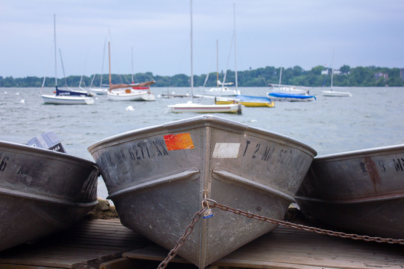
Aluminum boats moored on a wooden dock at Bde Maka Ska in Minneapolis, with sailboats anchored in the background.
Aluminum boats are secured on the wooden dock at Bde Maka Ska in Minneapolis. The lake, formerly known as Lake Calhoun, is one of the most popular bodies of water in the Chain of Lakes park system. It is a central feature of the city's parkland, offering residents and visitors opportunities for boating, swimming, and other water activities.

Rental Boats Chained Up at Bde Maka Ska

Lake Michigan at sunset in Door County, Wisconsin.
Lake Michigan, Door County, Wisconsin, at sunset. The view looks across the lake from the Door County shoreline, where the peninsula forms the eastern edge of Wisconsin between Green Bay and the open waters of Lake Michigan.

Door County Lake Michigan Sunset

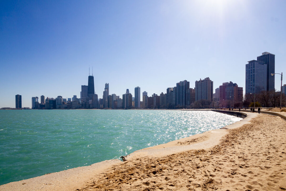
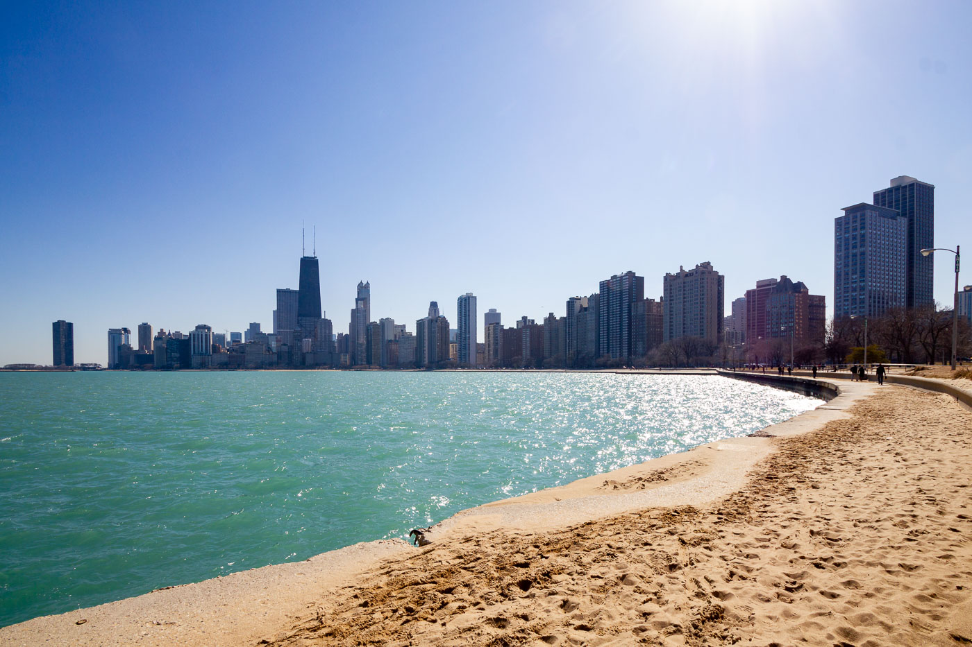
Chicago skyline and Lake Michigan shoreline from North Avenue Beach.
The Chicago skyline extends along Lake Michigan from North Avenue Beach on the city’s North Side. The John Hancock Center, now 875 North Michigan Avenue, stands among the high-rises of the Gold Coast and Streeterville. Chicago’s lakefront park and beach system maintains public access along much of the city’s eastern edge.

Chicago Skyline from North Avenue Beach
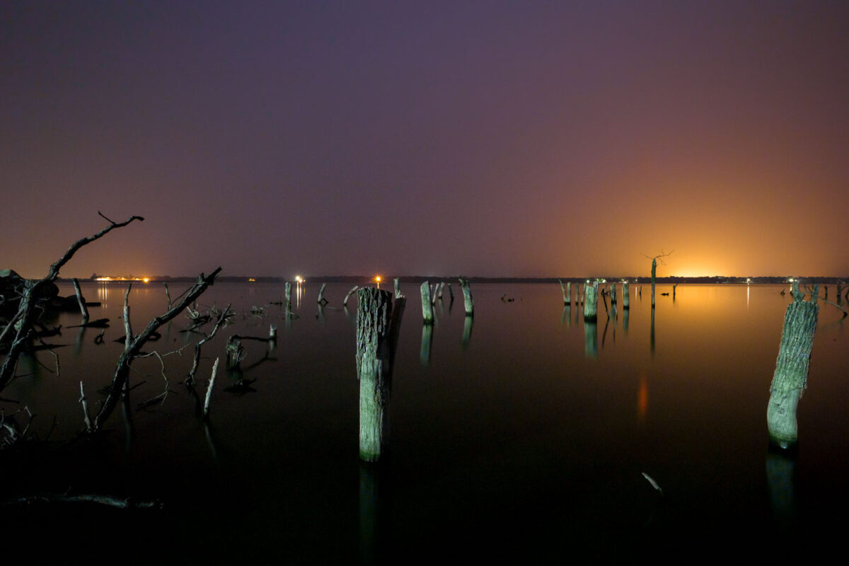
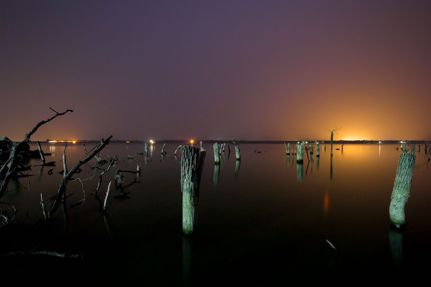
Submerged wooden pilings and debris from Woodland Resort remain in Devils Lake, North Dakota at dusk.
Devils Lake has risen more than 25 feet since the early 1990s, flooding thousands of acres of farmland, roads, and shoreline development across Ramsey and Benson counties. The Woodland Resort, once a lakeside destination with cabins and a public beach, was among the properties lost to the rising water. What remains are rows of dead trees and wooden pilings standing in water that now covers the former resort grounds. Devils Lake is a closed-basin lake with no natural outlet, meaning its water level depends entirely on precipitation and runoff rather than drainage to a river system, which has made its flooding especially difficult to predict or control.

Submerged Pilings of the Woodland Resort, Devils Lake
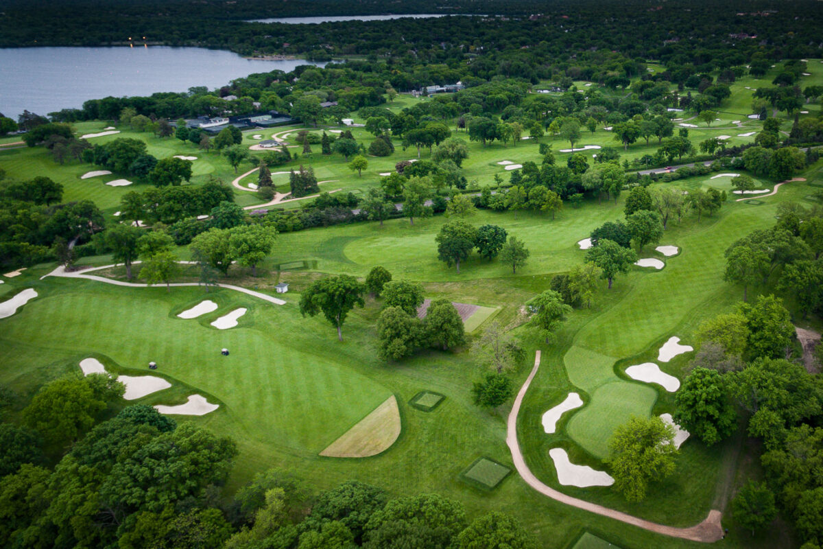
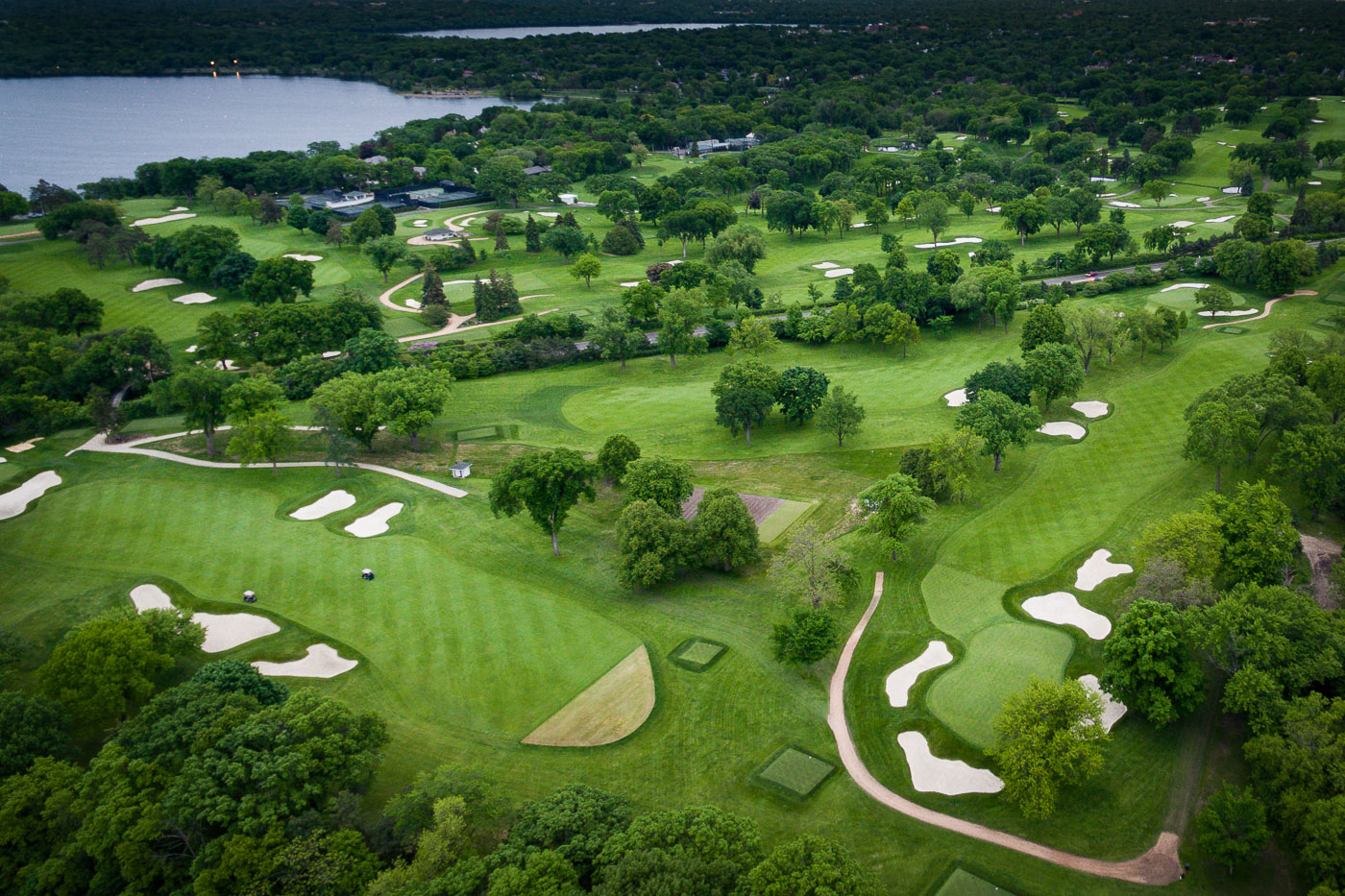
Aerial view of Minikahda Club golf course along Bde Maka Ska lake in Minneapolis, Minnesota.
The Minikahda Club golf course in Minneapolis, Minnesota, is situated along the shores of Bde Maka Ska lake. Established in 1901, the club features a championship golf course designed by William Watson and Robert F. Grant. The course is known for its challenging layout and mature trees, which have been a defining characteristic since its early development.

Fairways and Bunkers at the Minikahda Club Near Bde Maka Ska

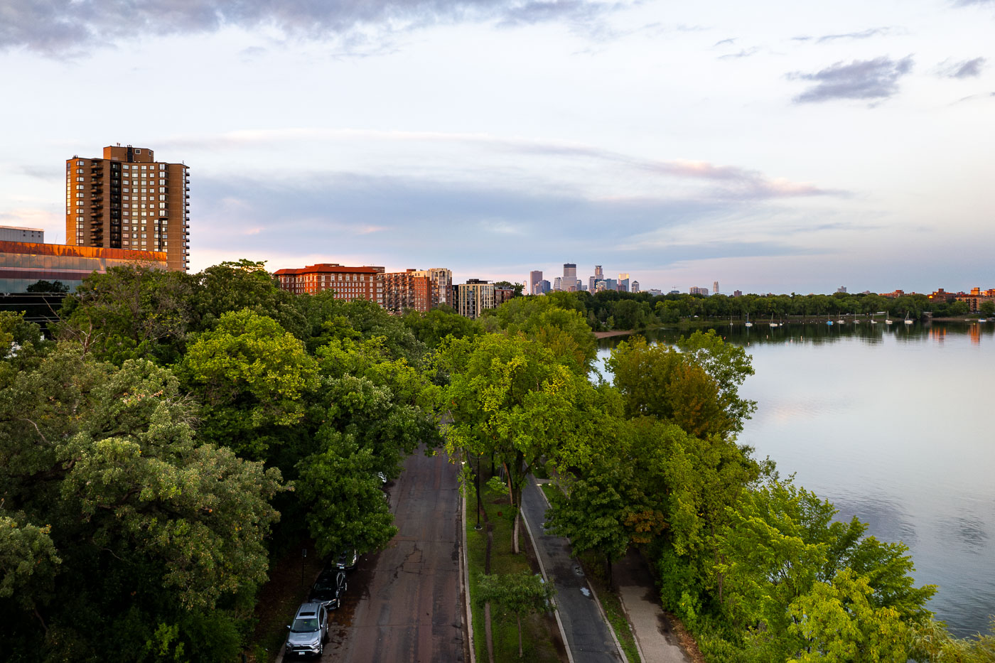
Bde Maka Ska Boulevard in Minneapolis with fog over parkland and nearby apartments.
Bde Maka Ska Boulevard in Minneapolis is bordered by parkland and nearby apartment buildings along the city’s lake district. The area is part of the Minneapolis park and parkway system connected to the Grand Rounds National Scenic Byway.

Bde Maka Ska Boulevard Fog, Minneapolis
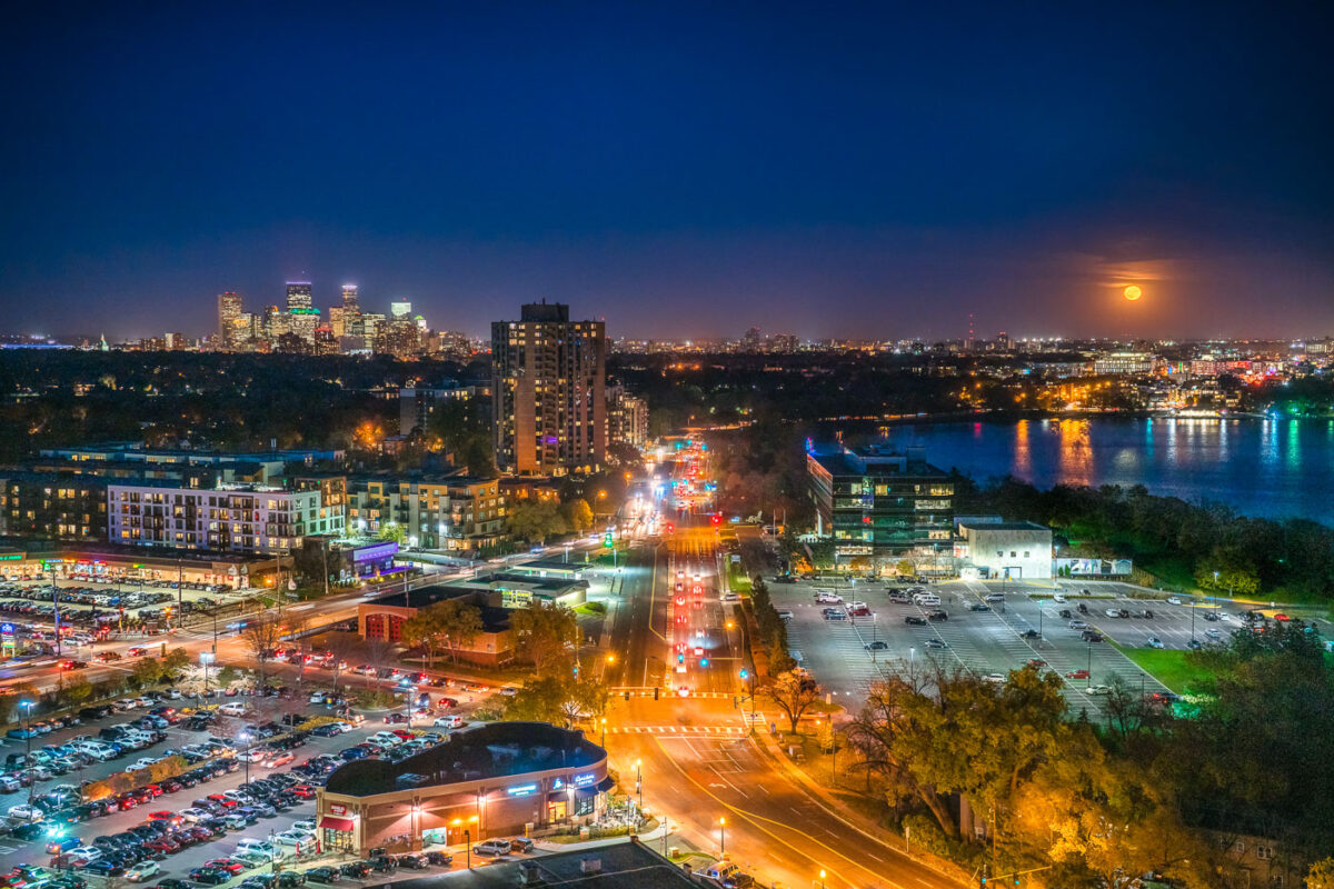
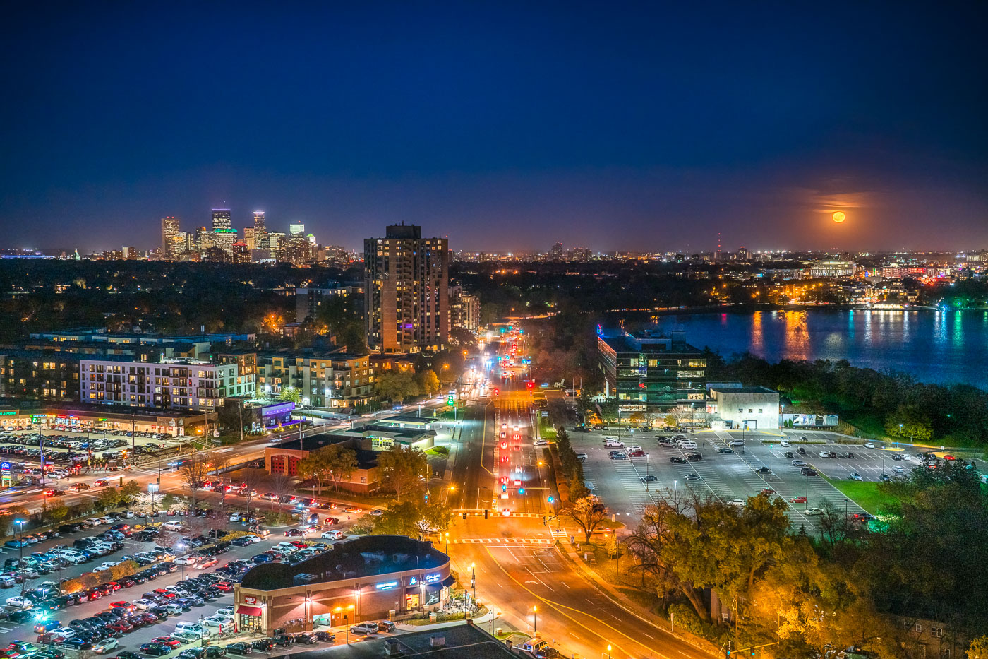
Minneapolis skyline and Bde Maka Ska under a full moon, viewed from the West Calhoun neighborhood.
The Minneapolis skyline is visible in the distance as a full moon rises over Bde Maka Ska. Bde Maka Ska the largest lake in Minneapolis and is part of the Chain of Lakes.

Minneapolis skyline and Bde Maka Ska under full moon
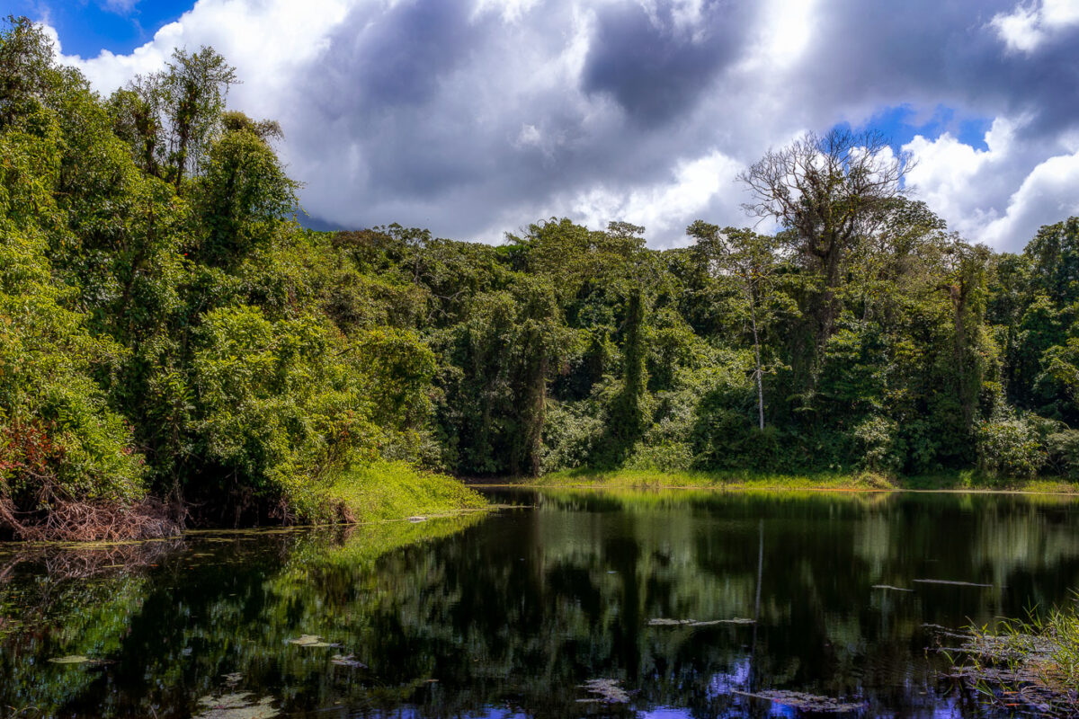
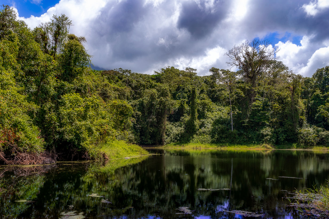
A still lagoon bordered by dense cloud forest vegetation at Arenal Volcano in Costa Rica.
This lagoon sits along the Arenal 1968 Trail, a network of paths at Arenal Volcano National Park that cross ground reshaped by the volcano's major eruption on July 29, 1968. That eruption destroyed the villages of Tabacón, Pueblo Nuevo, and San Luis and killed around 87 people, burying the surrounding terrain under ash and lava. The trail network, maintained by the national park, now loops through secondary forest that has grown back over the old flow. Arenal itself rises to 1,670 meters and was Costa Rica's most active volcano for decades before entering its current dormant phase in 2010.

Forest-Rimmed Lagoon on the Arenal 1968 Trail
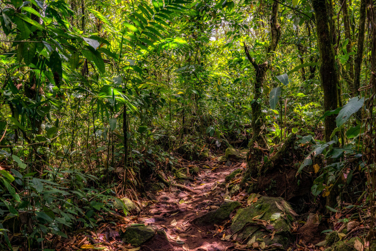
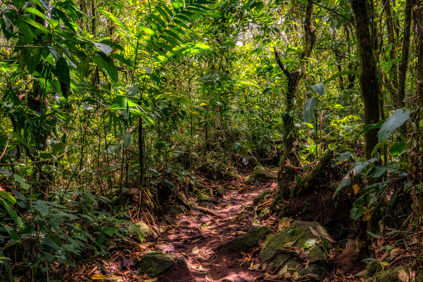
A hiking trail winds through dense cloud forest canopy over volcanic rock and roots near Arenal Volcano in Costa Rica.
This trail winds through forest that reclaimed the lava field left by Arenal Volcano's major 1968 eruption, which destroyed the nearby villages of Tabacón, Pueblo Nuevo, and San Luis and killed dozens of residents. Volcanic rock from that eruption still lies beneath the leaf litter and exposed roots along the route. Arenal erupted almost continuously from 1968 until 2010, when it entered its current dormant phase, allowing forest to regenerate across much of the flow.

Hiking Path Through Regrown Forest on Arenal’s 1968 Lava Flow
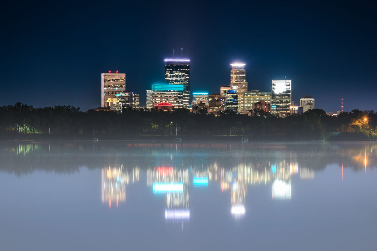
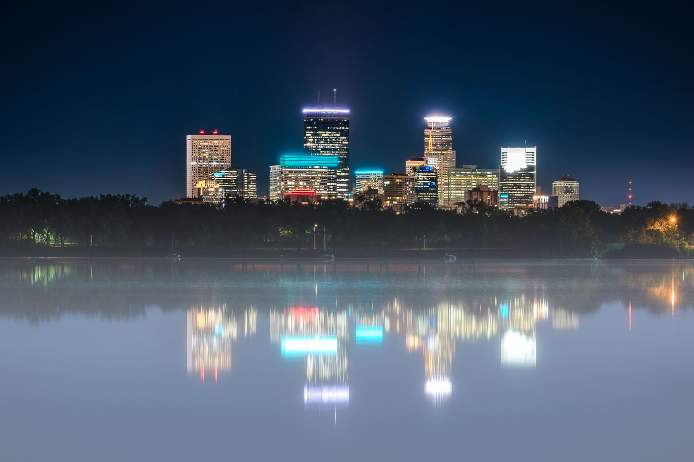
Minneapolis skyline with IDS Center and surrounding buildings mirrored in foggy Bde Maka Ska at night.
The Minneapolis skyline, including prominent structures such as the IDS Center, Capella Tower, and Wells Fargo Center, is reflected in the calm waters of Bde Maka Ska on a foggy night. Bde Maka Ska, the city's largest lake, is part of the Minneapolis Chain of Lakes, a system of lakes and parkland that has been central to the city's identity and development since the late 19th century.

Foggy Night Reflection of the Minneapolis Skyline on Bde Maka Ska
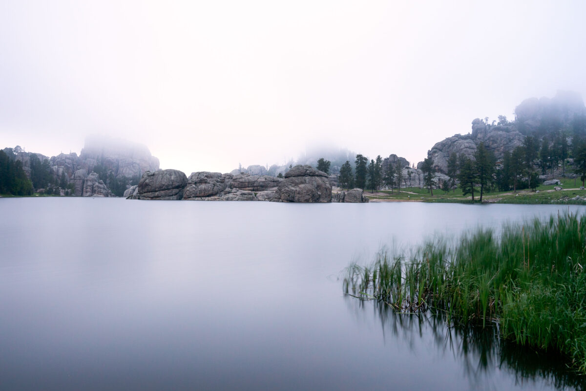
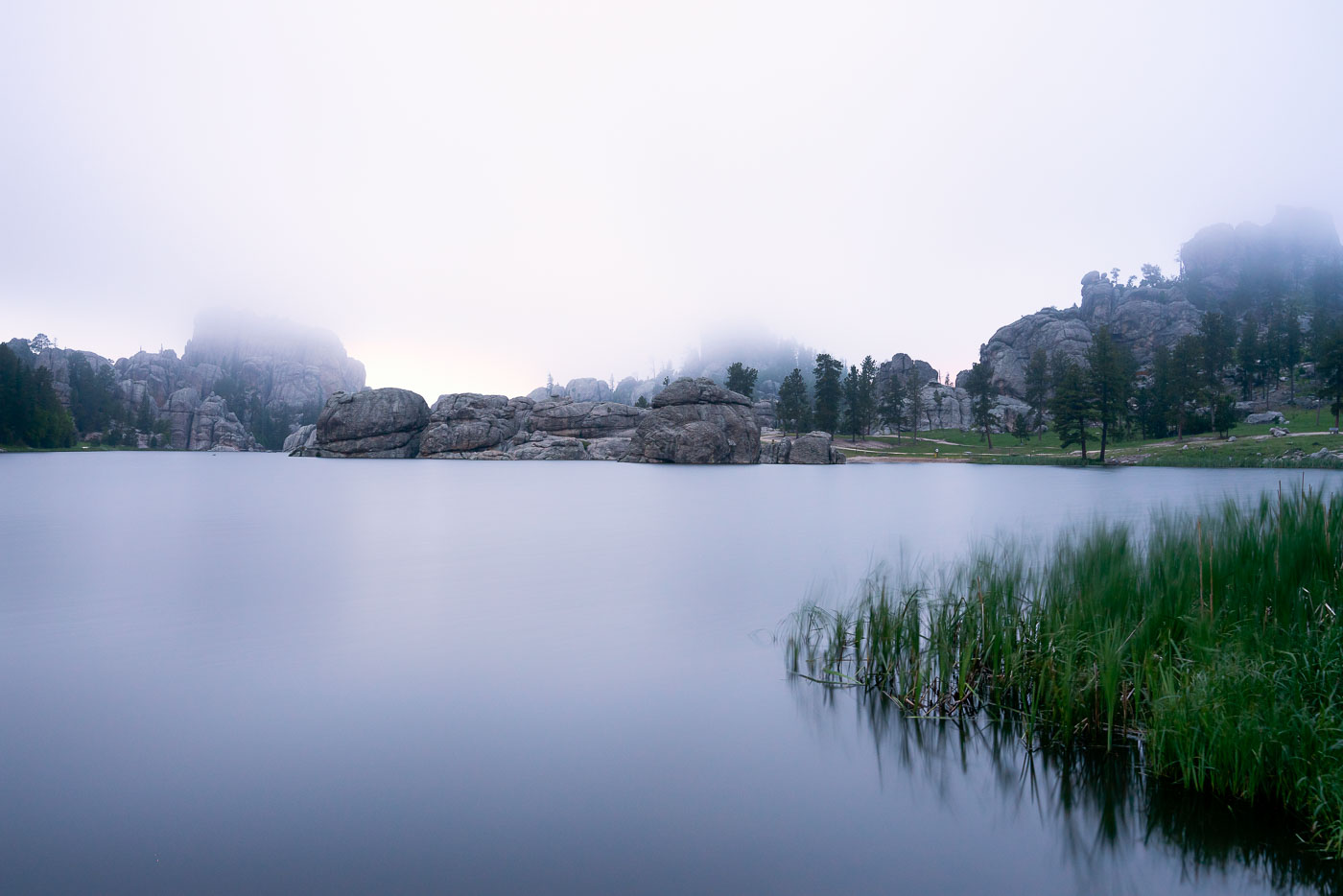
Sylvan Lake in Custer State Park
Early morning fog blankets Sylvan Lake in South Dakota's Black Hills, obscuring the surrounding granite formations. Created in 1891 by a dam built by Theodore Reder, the lake is situated at the start of the Needles Highway. The area is a popular destination for climbers and hikers, drawn to its unique geological features. On this particular morning, the mist limits visibility, transforming the landscape into a study of soft shapes and muted reflections on the water's surface.

Sylvan Lake Fog, Black Hills, South Dakota
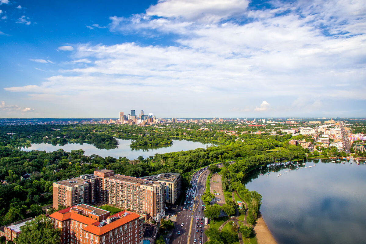
Minneapolis downtown skyline rises beyond Bde Maka Ska and Lake of the Isles in the Chain of Lakes park system.
Bde Maka Ska and Lake of the Isles are two of the Minneapolis Chain of Lakes, joined by a channel. Bde Maka Ska is the largest lake in Minneapolis at about 401 acres, while Lake of the Isles covers about 108 acres.

Downtown Minneapolis Skyline Beyond Bde Maka Ska and Lake of the Isles

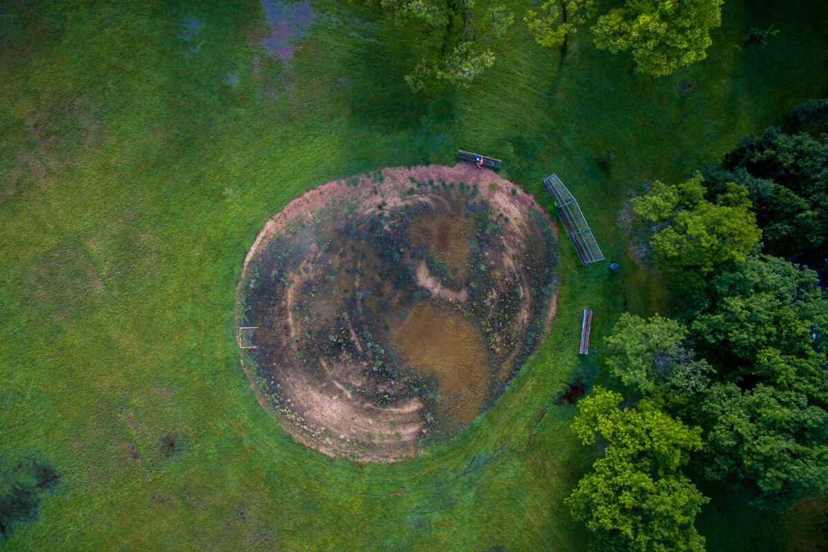
Bde Maka Ska Baseball Field in Minneapolis, an overgrown baseball field with a flooded infield.
Bde Maka Ska Baseball Field in Minneapolis is overgrown and waterlogged, with the infield partially submerged. The field sits beside trees and park benches near the edge of Bde Maka Ska parkland.

Bde Maka Ska Baseball Field, Minneapolis
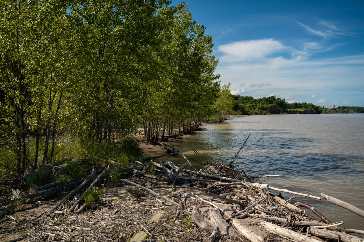
Driftwood and fallen trees line Lake Michigan's shore near Kewaunee, Wisconsin.
Lake Michigan's shoreline near Kewaunee, Wisconsin, collects driftwood carried in by wind and current action along the western shore. The Kewaunee Power Station sits a few miles south of town on this same shoreline, a single-unit pressurized water reactor that began commercial operation in 1974. Dominion Energy operated the plant until its closure in 2013; NorthStar Group Services has since managed its decommissioning. The reactor generated roughly 574 megawatts of electricity during its operating years, drawing cooling water from the lake it sits beside.

Treeline and Driftwood on Lake Michigan’s Shore Near Kewaunee
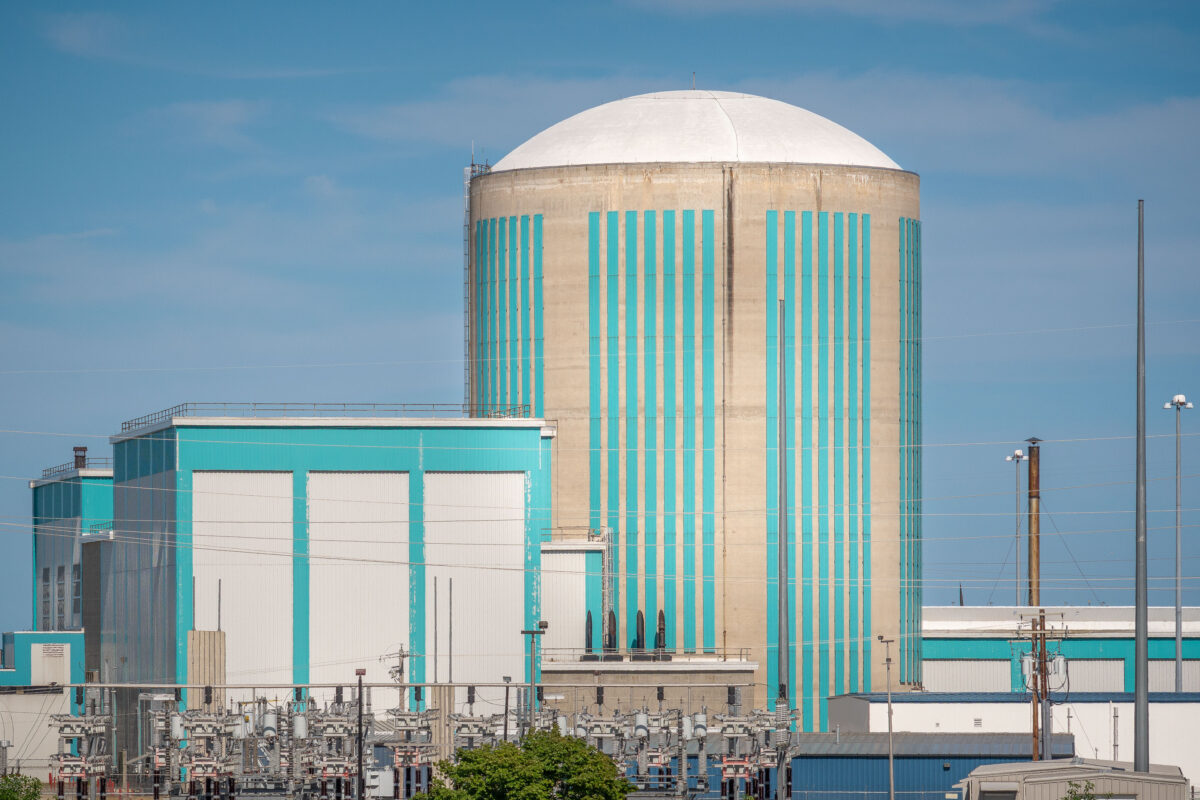
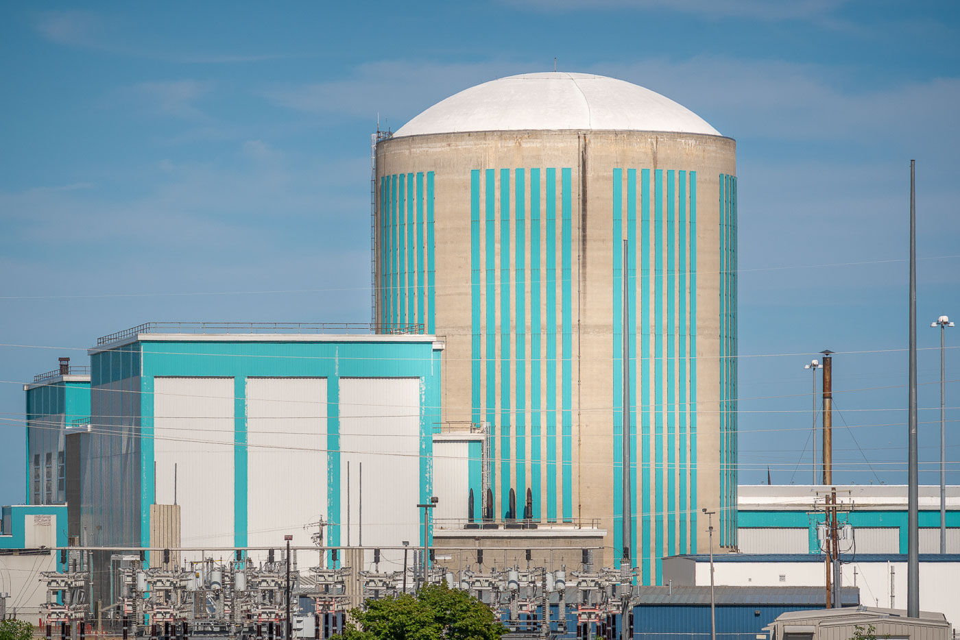
Kewaunee Nuclear Power Plant's turquoise-striped containment dome and cooling structures on Lake Michigan's Wisconsin shoreline.
Kewaunee Power Station sits on the Lake Michigan shoreline in Carlton, Wisconsin, just south of the town of Kewaunee. The single-unit pressurized water reactor began commercial operation in 1974, built and originally operated by Wisconsin Public Service Corporation. Dominion Energy later took over the plant before its owners shut it down in 2013, citing economics rather than safety concerns. The containment structure, with its rounded dome and reinforced concrete walls, housed the reactor vessel that once generated enough electricity to power hundreds of thousands of homes. In 2022, ownership transferred to NorthStar Group for decommissioning, a process that includes dismantling the reactor systems and eventually restoring the site.

Reactor Containment Building at Kewaunee Power Station
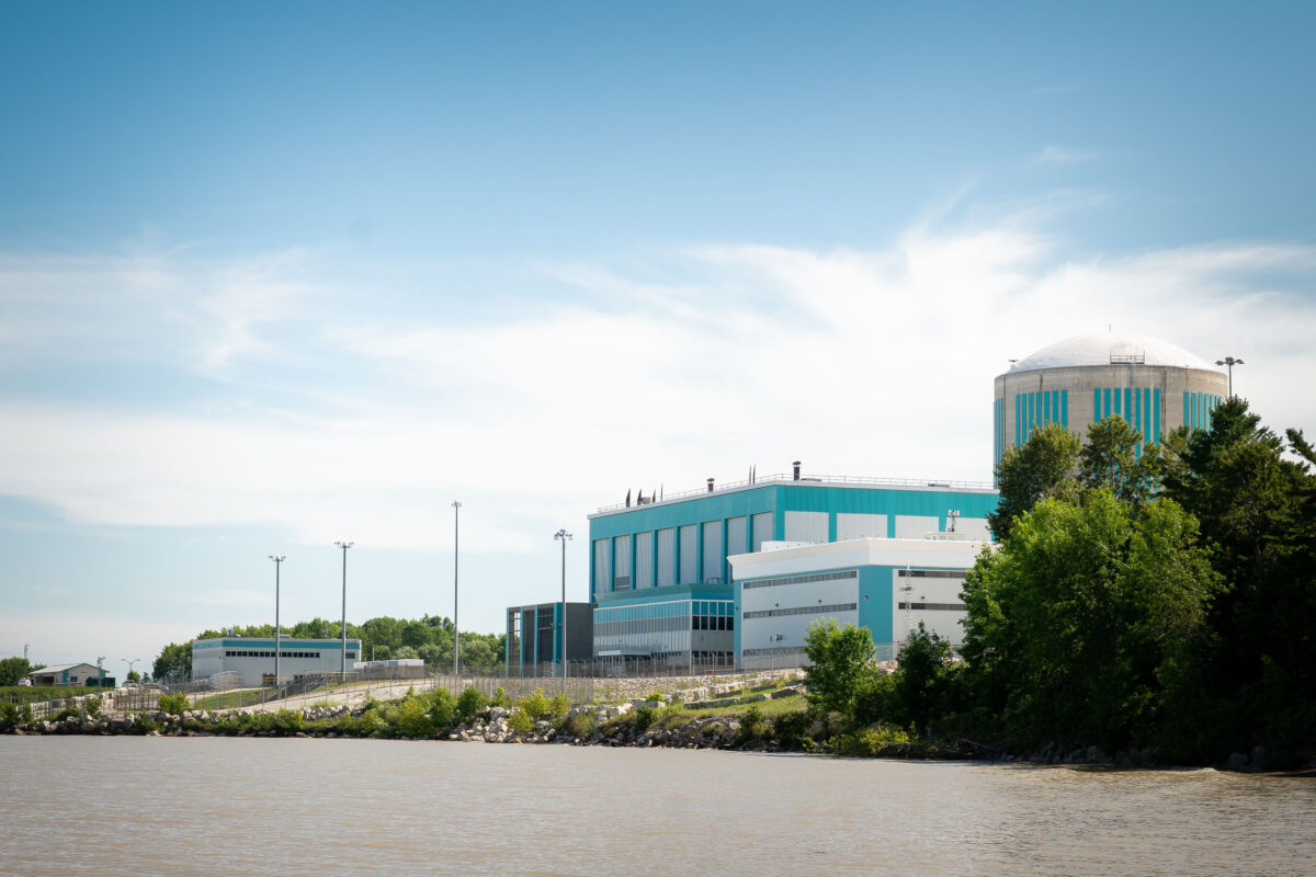
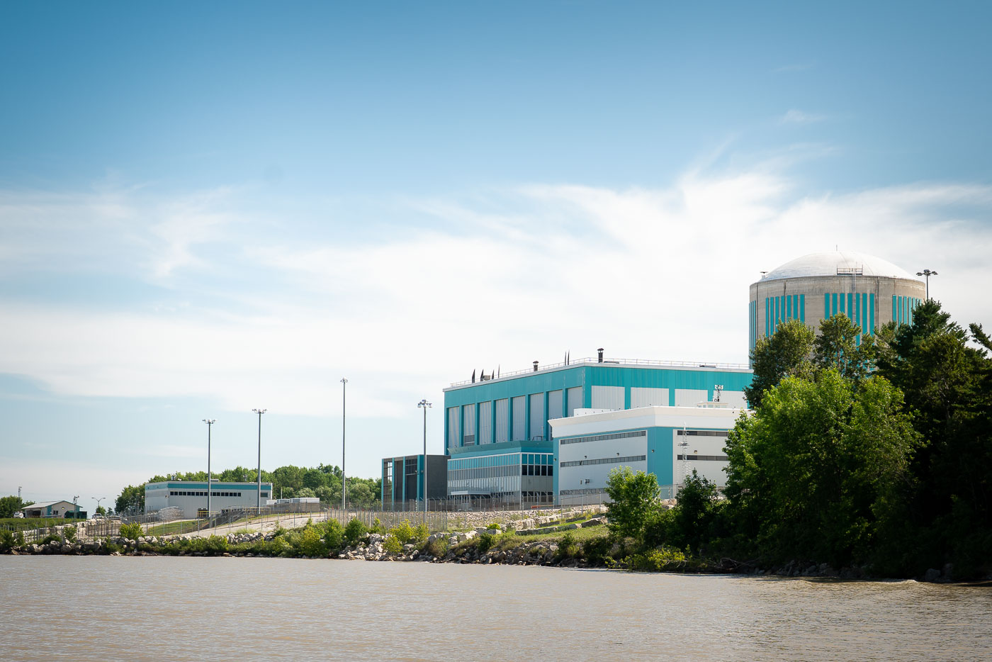
Kewaunee Nuclear Power Plant stands on Lake Michigan shoreline in Wisconsin, permanently closed since 2013.
Kewaunee Power Station in the Town of Carlton, Wisconsin, stands on the Lake Michigan shoreline southeast of Green Bay. The single-reactor nuclear generating station began commercial operation in 1974 and was the fourth nuclear power plant built in Wisconsin. Dominion Energy permanently shut down the plant on May 7, 2013, citing unfavorable market conditions, including low wholesale electricity prices linked to inexpensive natural gas. By 2019, the reactor and auxiliary buildings remained in place on the 900-acre site as the facility continued through decommissioning.

Kewaunee Power Station Along the Shoreline Near Carlton, Wisconsin
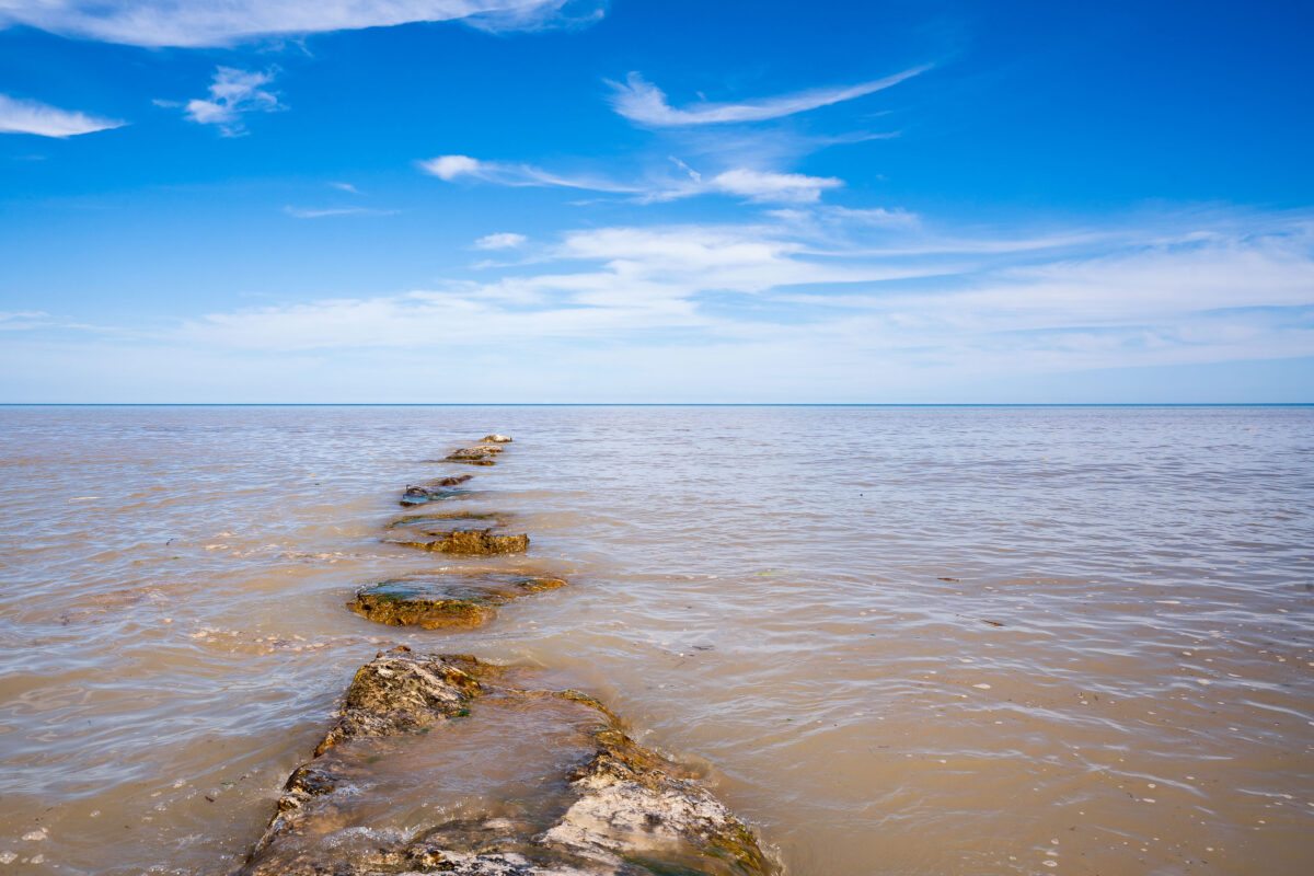
Submerged rocks extend into Lake Michigan's shallow waters under blue sky.
The Kewaunee Power Station, a former nuclear power plant, is situated on the shores of Lake Michigan in Kewaunee, Wisconsin. Constructed in the early 1970s, it was one of the state's early nuclear facilities, designed to generate electricity for the region. The plant ceased operations in 2013 and has since been undergoing decommissioning. The image captures the lake's shoreline near the former plant, with a line of submerged rocks extending into the water.

Submerged Rock Line Leading Into Lake Michigan Near Kewaunee
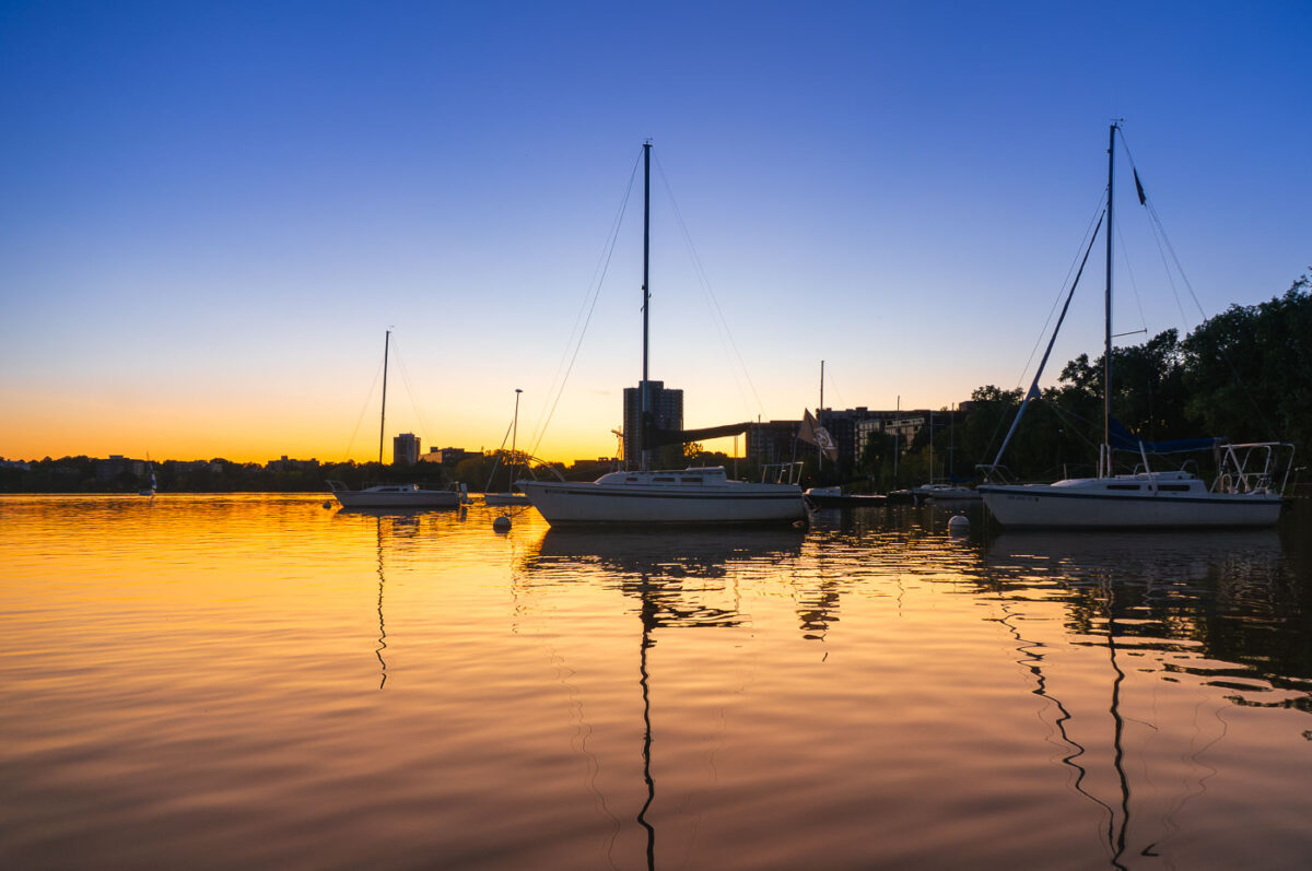
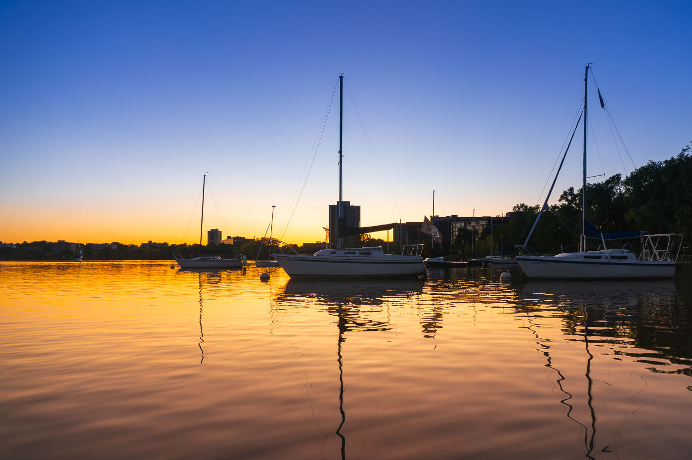
Sailboats moored at Bde Maka Ska lake at sunset in Minneapolis, Minnesota.
Sailboats are moored on Bde Maka Ska, Minneapolis, Minnesota, as the sun sets. The lake, formerly known as Lake Calhoun, is one of the city's Chain of Lakes, a system of lakes and parkland that provides significant recreational opportunities. Bde Maka Ska is a popular destination for sailing, kayaking, and other water activities, and its shores are lined with parks and trails used by residents and visitors.

Sailboats Moored on Bde Maka Ska at Golden Hour
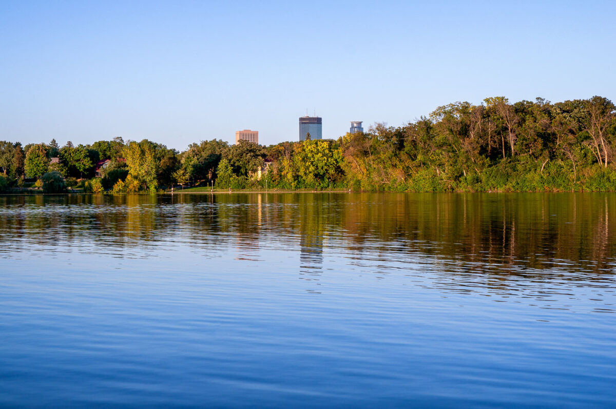
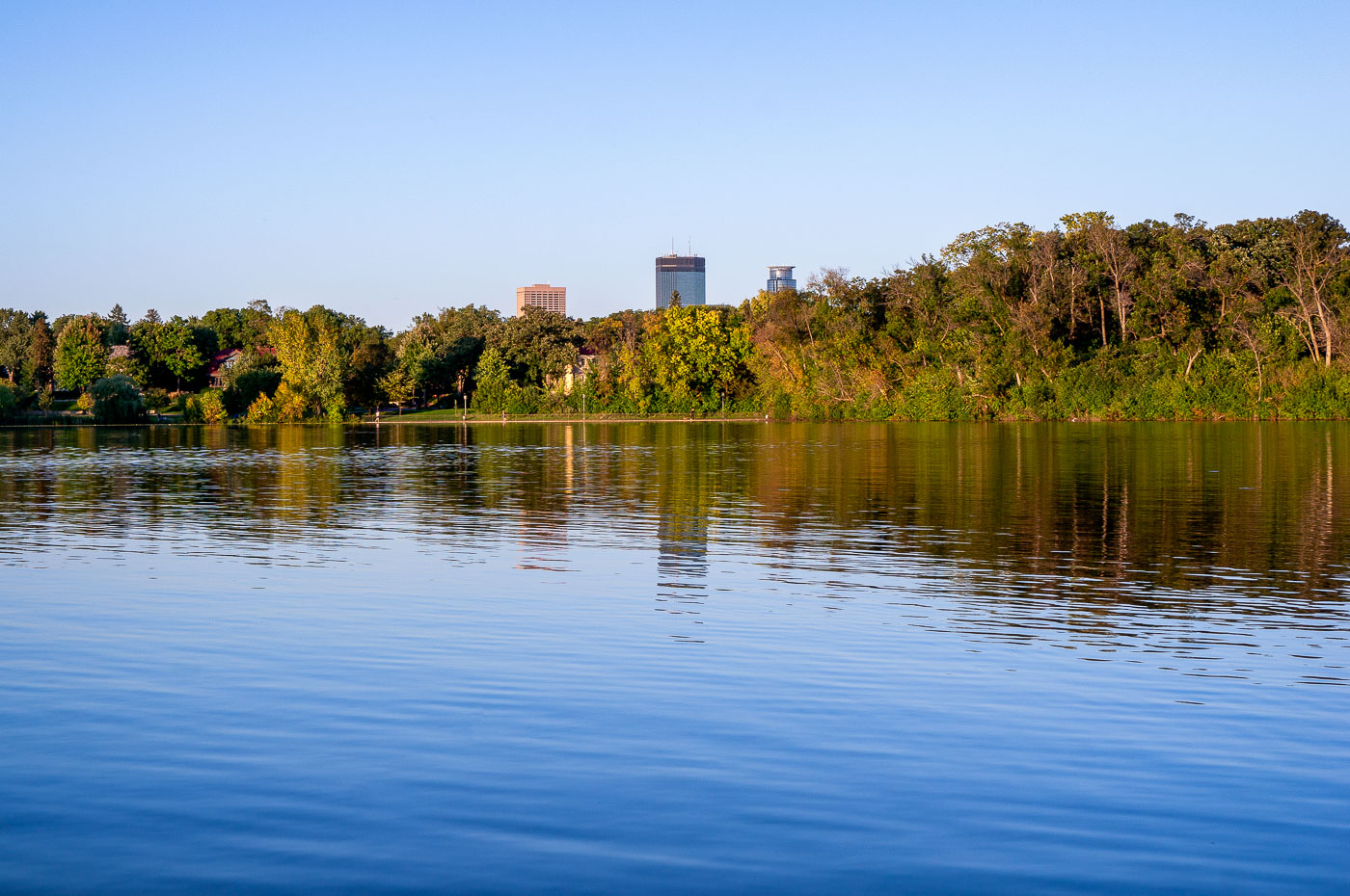
Minneapolis skyline from Lake of the Isles with IDS Center and Capella Tower.
Minneapolis skyline from Lake of the Isles in Minneapolis, Minnesota. The IDS Center and Capella Tower rise above the trees on the far shore.

Minneapolis skyline from Lake of the Isles

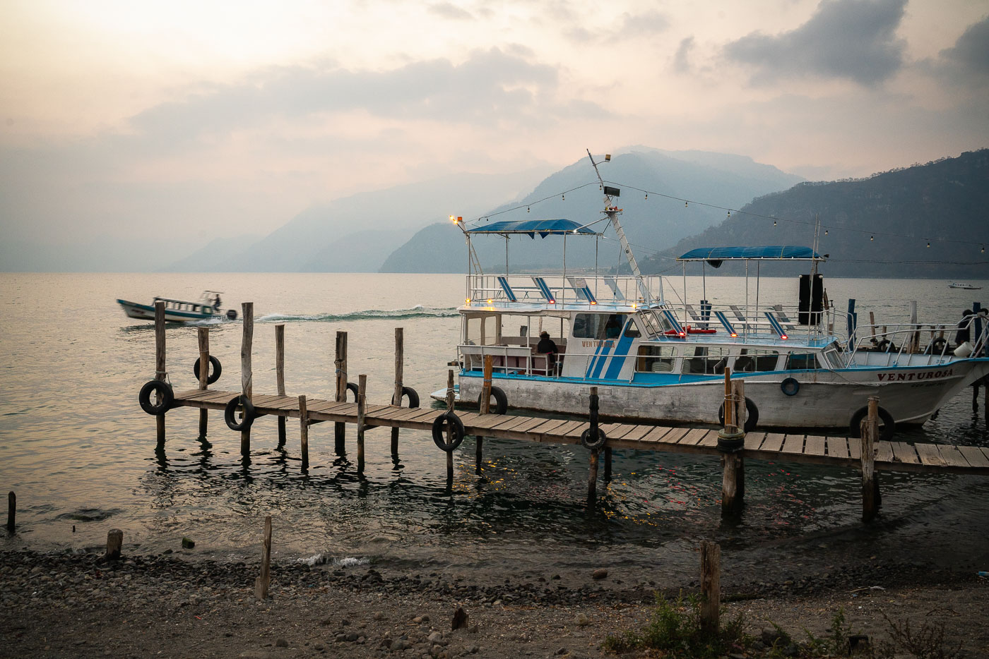
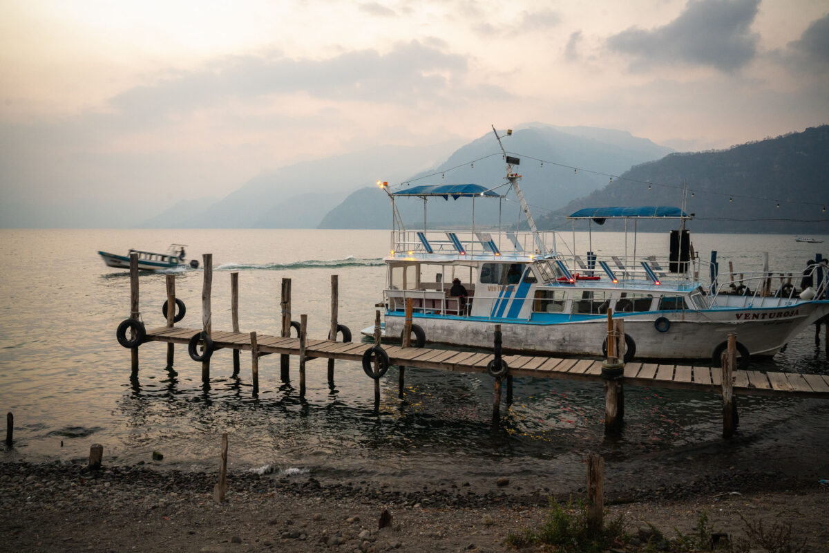
Fishing and passenger boats dock at a wooden pier on Lake Atitlán in Panajachel, Guatemala, with volcanic mountains rising across the water.
Lake Atitlán fills a caldera left by a massive volcanic eruption roughly 84,000 years ago, and today it reaches depths of over 300 meters, making it one of the deepest lakes in Central America. Panajachel serves as the main launch point for passenger boats connecting lakeside towns such as Santiago Atitlán, San Pedro La Laguna, and Santa Cruz La Laguna, few of which have reliable road access. The volcanoes visible across the water—Atitlán, Tolimán, and San Pedro—ring the lake's southern shore and remain active or dormant cones tied to the same volcanic system that formed the basin. Wooden piers like this one are rebuilt seasonally, as the lake's water level fluctuates significantly from year to year with rainfall and underground drainage patterns that scientists still don't fully understand.

Tour Boat Docked at Dusk on Lake Atitlán, Panajachel
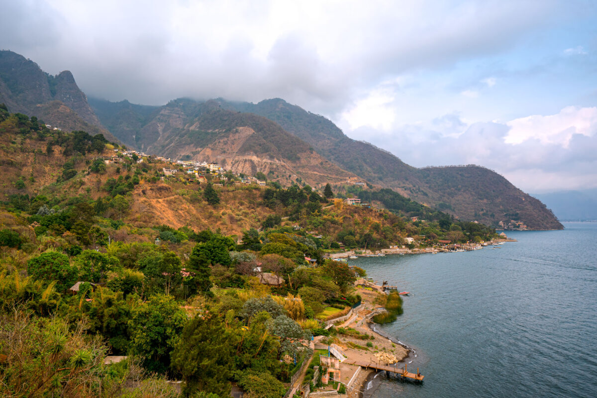
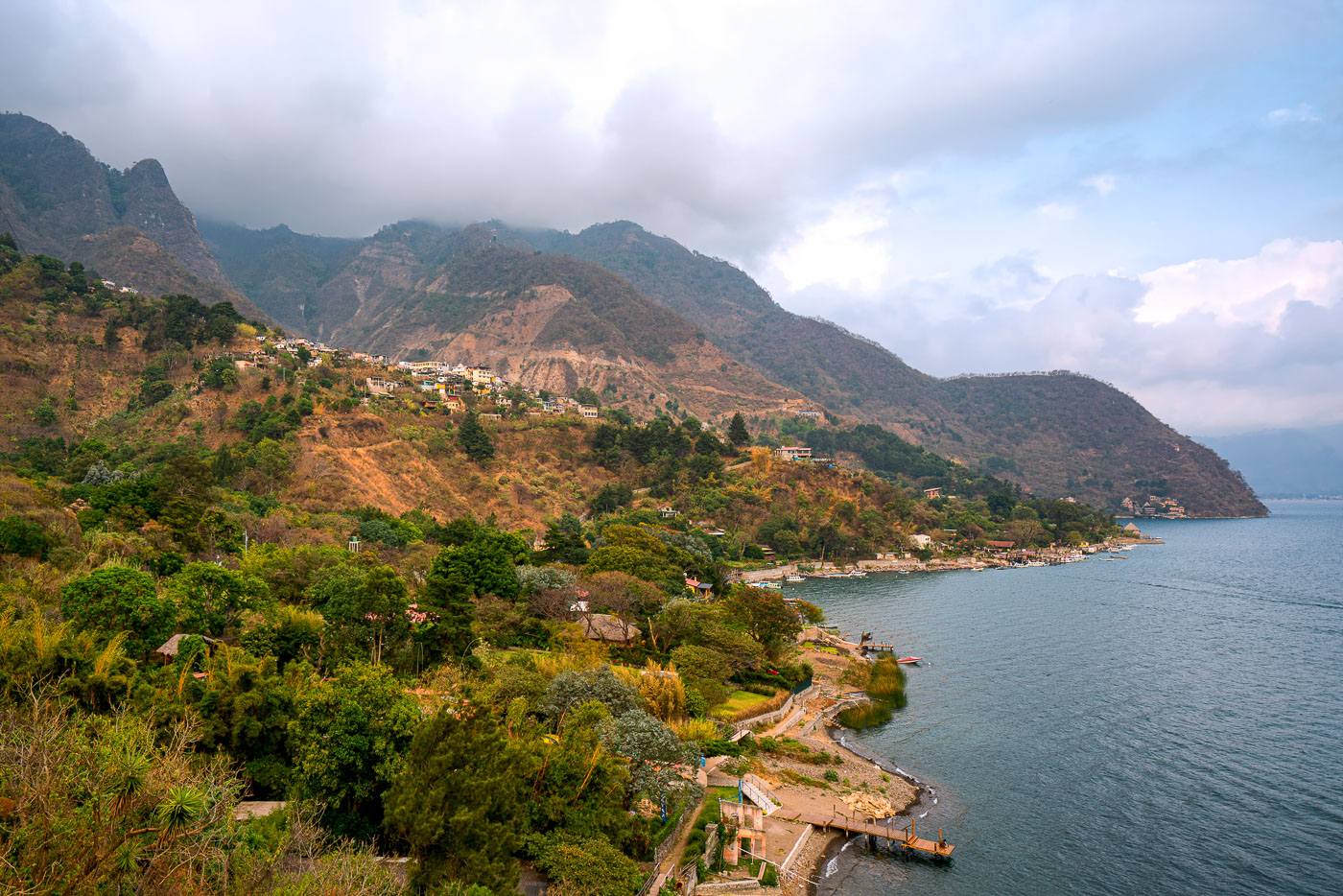
Santa Cruz La Laguna village clings to a steep forested mountainside above Lake Atitlán in Guatemala with homes scattered across the slope and docks lining the narrow shoreline.
Santa Cruz La Laguna sits on a steep slope above the northern shore of Lake Atitlán, a volcanic crater lake in Guatemala's western highlands. The lake formed roughly 84,000 years ago after a massive eruption collapsed the caldera, leaving a basin reaching depths of more than 340 meters in places. Santa Cruz's population is largely Kaqchikel Maya, and the village has no direct road access from much of the surrounding shoreline, relying instead on boats that connect it to Panajachel and other lakeside towns. Volcán Tolimán and Volcán San Pedro rise along the lake's southern edge, part of the chain of volcanoes that ring Atitlán.

Hillside Village of Santa Cruz La Laguna Above Lake Atitlán

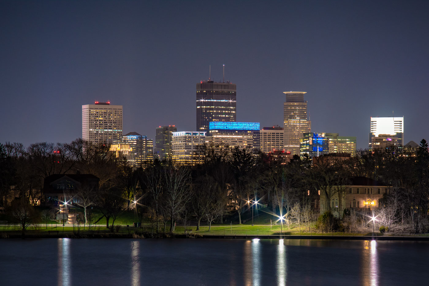
Minneapolis downtown skyline at night viewed across Lake of the Isles with illuminated office towers and foreground park.
Lake of the Isles sits at the western edge of Minneapolis's Chain of Lakes, linked by man-made channels to Bde Maka Ska to the south and Cedar Lake to the north.

Minneapolis Skyline at Night from Lake of the Isles
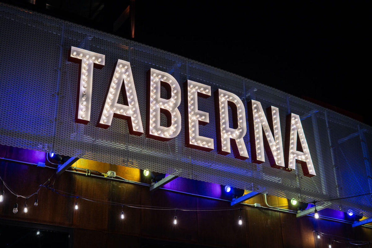
Illuminated Taberna restaurant sign at night in south Minneapolis.
Taberna is a restaurant in south Minneapolis near Bde Maka Ska. The establishment operates as a taco restaurant in the neighborhood.

Taberna Restaurant Sign, South Minneapolis

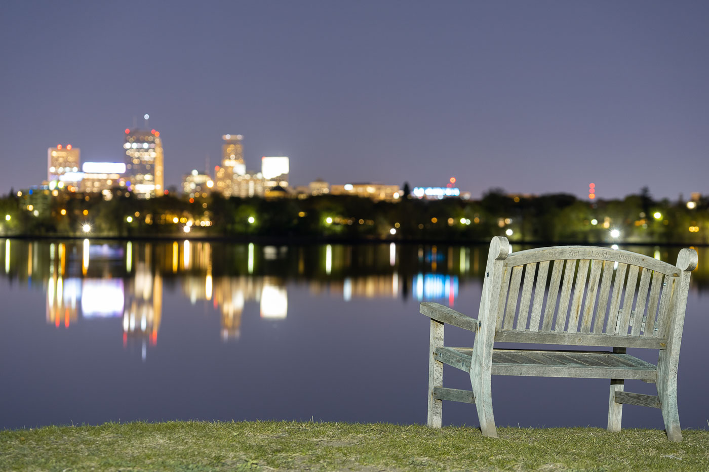
Wooden bench on grass overlooking Bde Maka Ska lake with Minneapolis skyline illuminated at dusk.
A bench at Bde Maka Ska in South Minneapolis. The Minneapolis skyline seen across the lake.

Night View of the Minneapolis Skyline from Bde Maka Ska

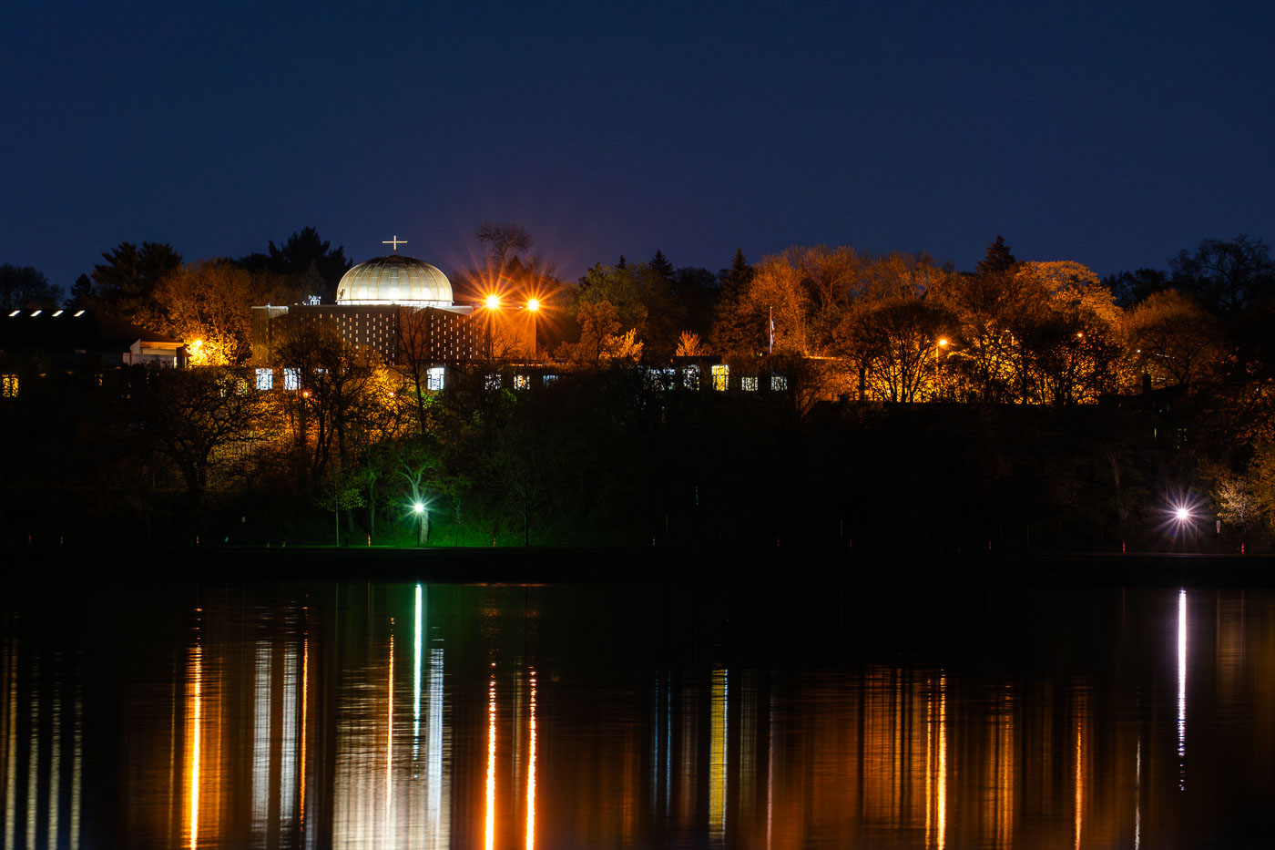
St. Mary's Greek Orthodox Church illuminated at night across Bde Maka Ska lake in Minneapolis.
St. Mary's Greek Orthodox Church as seen from across Bde Maka Ska in Minneapolis.

St. Mary’s Greek Orthodox Church at Night Across Bde Maka Ska

Daunte Wright mural on West Lake Street
A mural honoring Daunte Wright adorns the exterior of Minnesota Food Grocery on West Lake Street in Minneapolis. The mural appeared following the killing of Daunte Wright by police in nearby Brooklyn Center in April 2021, an event that sparked protests and unrest in the Twin Cities.

Daunte Wright Mural at Minnesota Food Grocery, West Lake Street
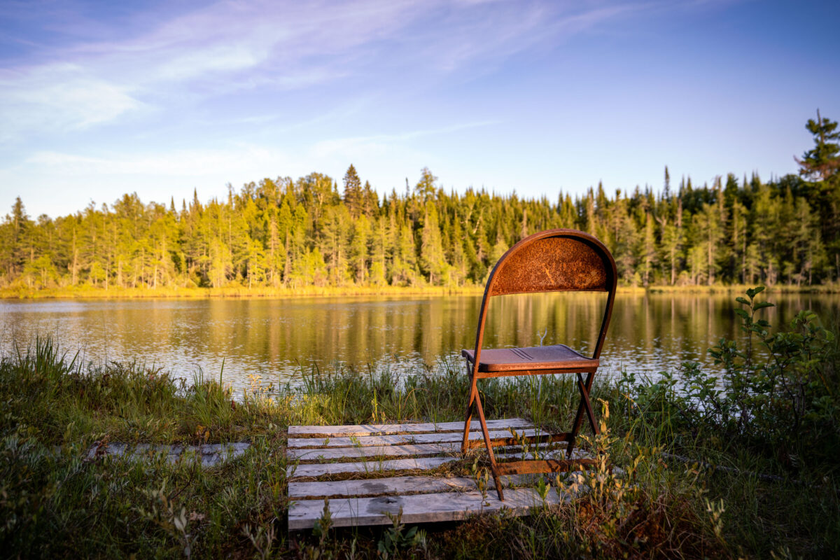
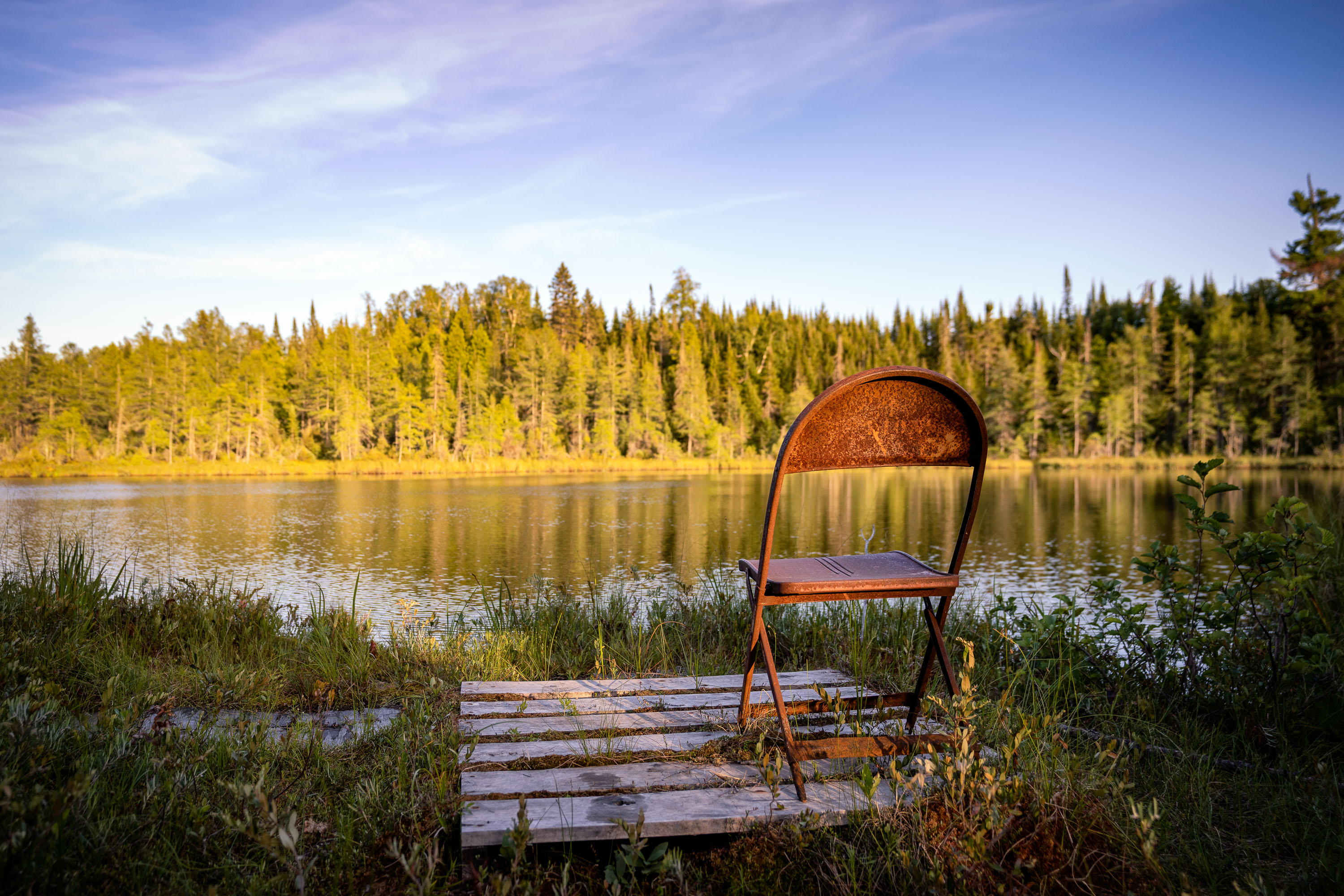
Rusted folding chair on a wooden plank walkway at Jouppi Lake in Minnesota's Superior National Forest.
Jouppi Lake sits within the Superior National Forest in Cook County, Minnesota, near the small community of Isabella. The lake is one of many small backcountry waters scattered through this stretch of the Superior National Forest, accessible by forest roads and used mainly for fishing and quiet paddling. A weathered folding chair and a short plank walkway mark an informal access point along its shoreline.

Weathered Folding Chair at Jouppi Lake, Minnesota

Ice danger sign at Bde Maka Ska in Minneapolis
A "DANGER: KEEP OFF ICE NOT SAFE" sign is posted near Bde Maka Ska lake in Minneapolis during a winter snowstorm. The sign, attached to a red post marked "EMERGENCY ONLY," warns of hazardous conditions on the partially frozen lake. Bde Maka Ska is a prominent lake within Minneapolis's Chain of Lakes park system, historically a popular destination for year-round activities. During winter, the lake freezes over, but ice thickness can be unpredictable and unsafe for public access without proper safety assessments.

Bde Maka Ska Danger Sign During Minneapolis Snowstorm

Graffiti memorializing Amir Locke at Lake Street and Lyndale Avenue in Minneapolis.
Graffiti reading "MPD MURDERED AMER LOCKE" is visible on a building at the intersection of Lake Street and Lyndale Avenue in Minneapolis. This message appeared following the death of Amir Locke, a 22-year-old man killed by Minneapolis Police Department SWAT officers on February 2, 2022, during a warrant execution.

Minneapolis Graffiti Memorializes Amir Locke at Lake & Lyndale

Vacant former JUUT SalonSpa storefront at Hennepin and Lake in Uptown Minneapolis
This storefront at Hennepin Avenue and Lake Street in Uptown Minneapolis was formerly occupied by JUUT SalonSpa, an Aveda retailer. The building, located at 2947 Hennepin Avenue, features a distinctive curved facade that once displayed the salon's branding.

Former JUUT Salon, Hennepin & Lake, Uptown Minneapolis
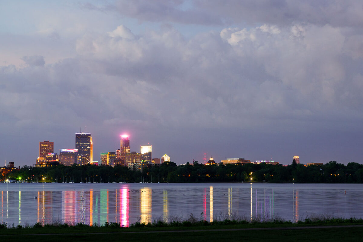
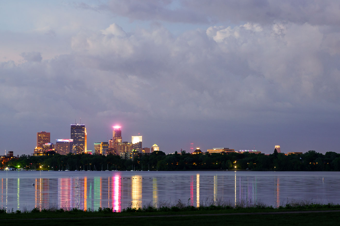
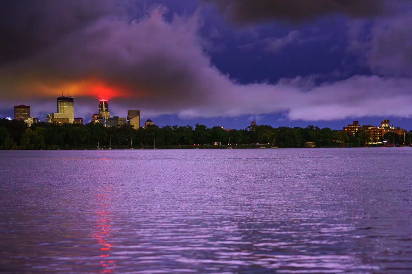
Minneapolis skyline illuminated at dusk across Bde Maka Ska lake.
The Minneapolis skyline is visible across Bde Maka Ska, a prominent lake in the city's chain of lakes. The lake, originally named Lake Calhoun, was renamed Bde Maka Ska in 2018 to honor its Dakota heritage.

Storm Clouds Over the Minneapolis Skyline from Bde Maka Ska
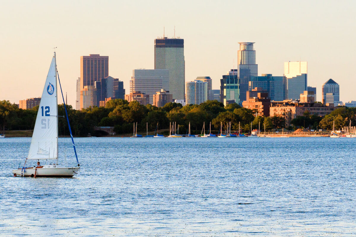
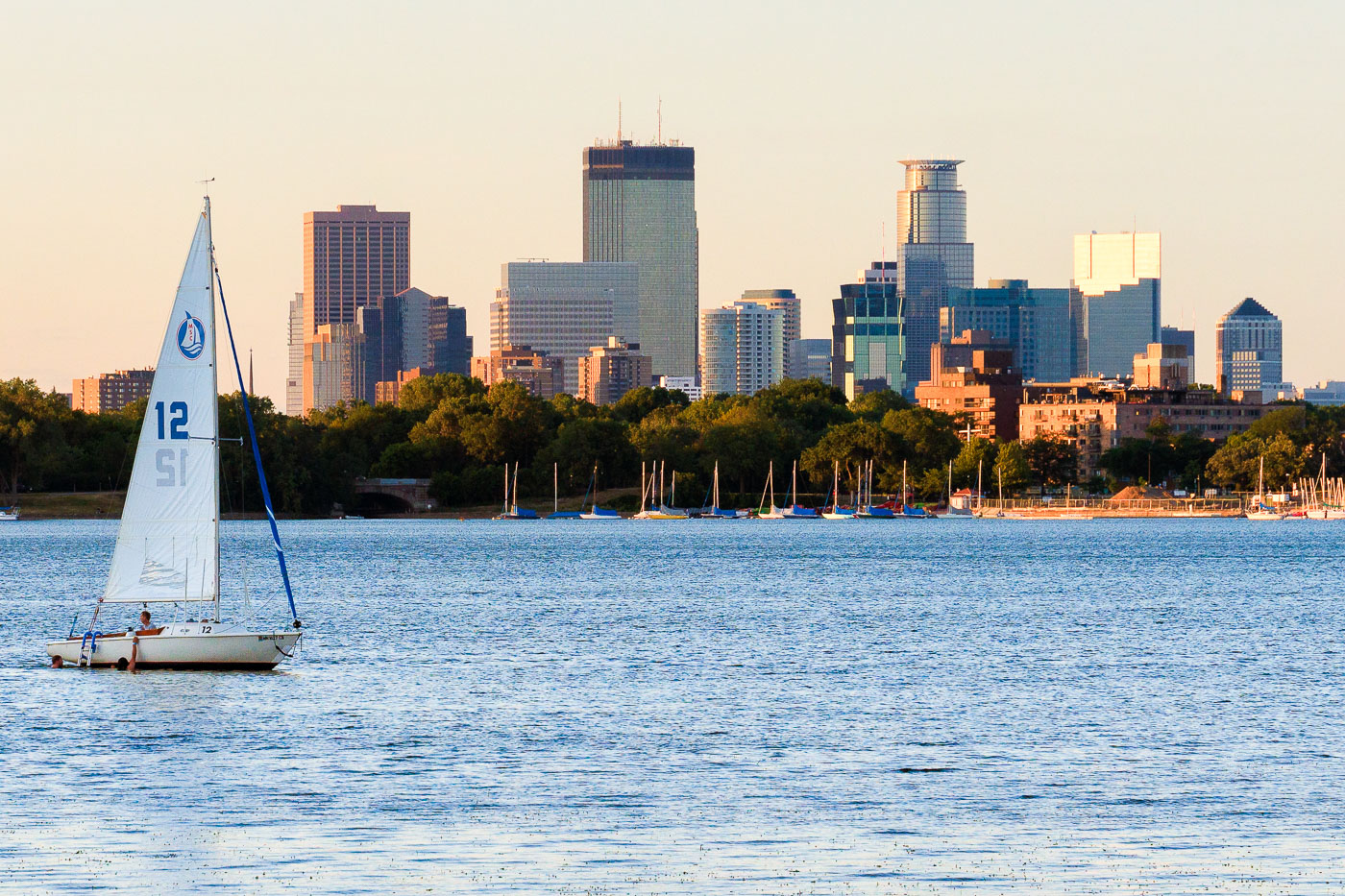
Sailboat with white sail numbered 12 on Bde Maka Ska lake with Minneapolis skyline beyond.
A sailboat is on Bde Maka Ska in Minneapolis with the downtown skyline in the background.

Sailboat on Bde Maka Ska Beneath the Minneapolis Skyline

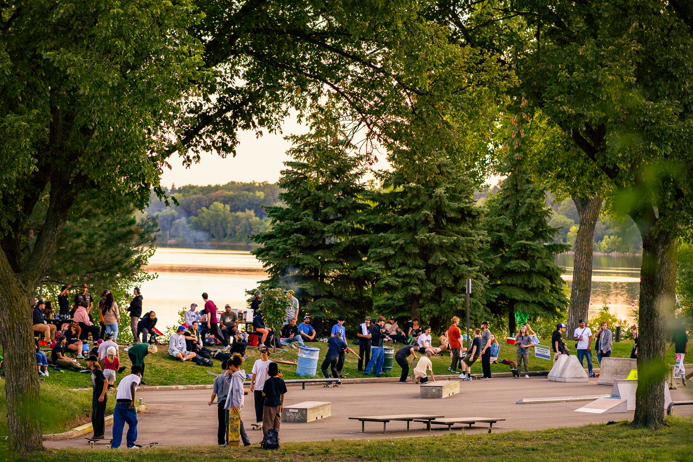
Crowds gather at a temporary skate park on the grassy shores of Bde Maka Ska lake in Minneapolis.
A temporary skate park was established on the shores of Bde Maka Ska in Minneapolis.

Evening Crowd at the Pop-Up Skate Park on Bde Maka Ska
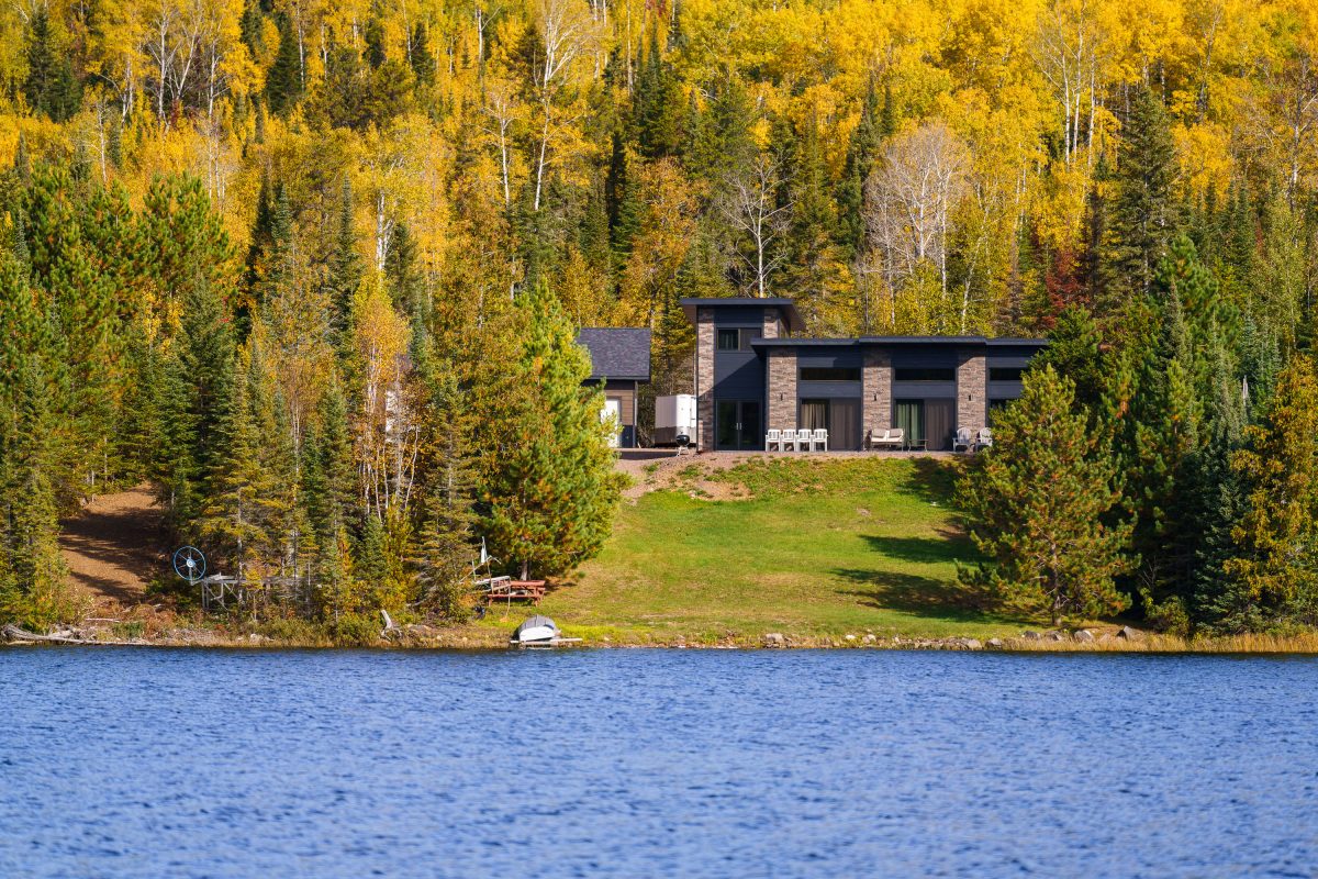
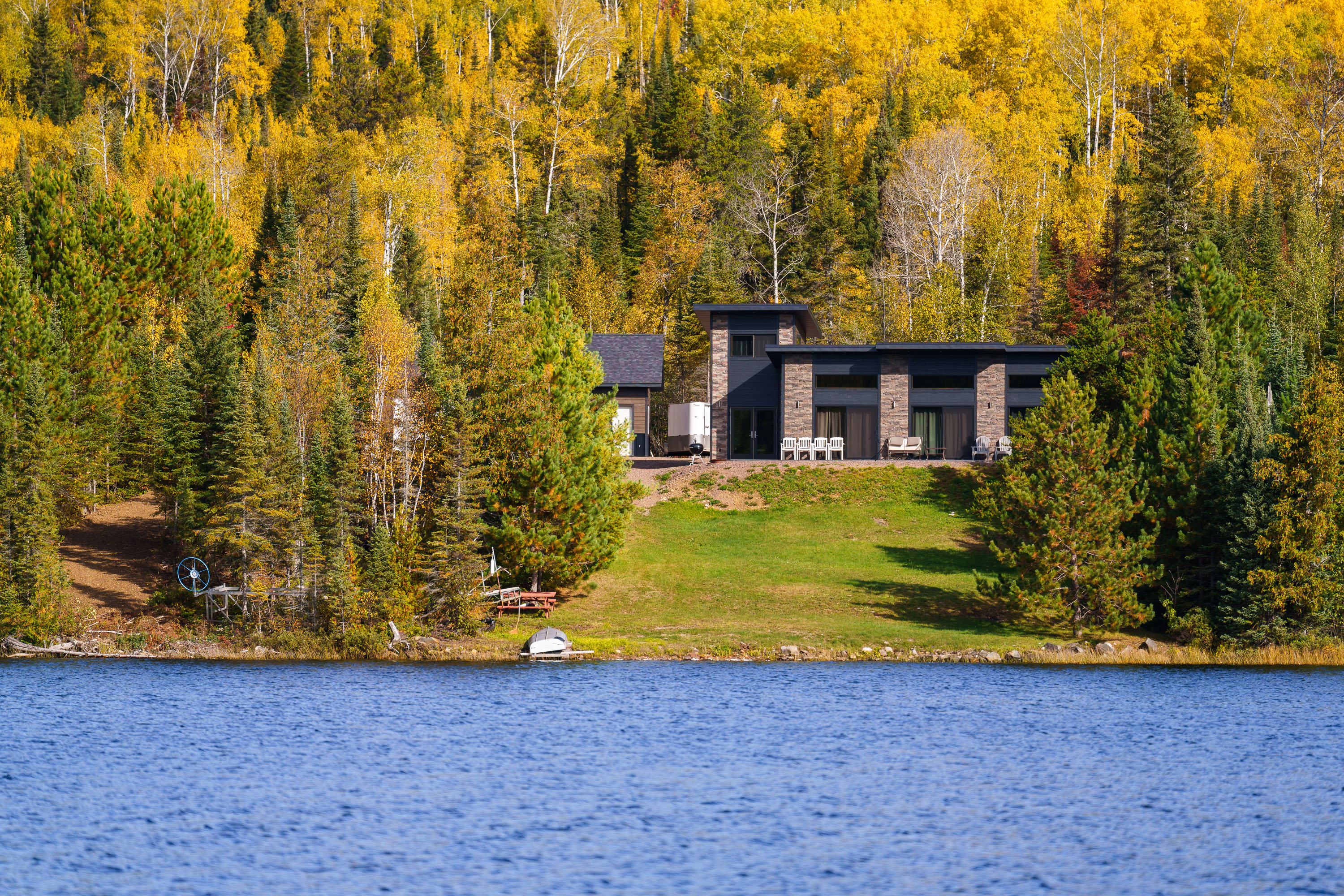
Modern home with stone facade on forested shoreline of Gunflint Lake, Minnesota, during autumn.
Gunflint Lake forms part of the international border between Minnesota and Ontario, Canada, within the Boundary Waters Canoe Area Wilderness and its Canadian counterpart, Quetico Provincial Park. The lake runs roughly six miles long and sits at the far end of the Gunflint Trail, about 45 miles northwest of Grand Marais. It's a popular put-in point for canoe and fishing trips into the connected chain of border lakes, and cabins along its shoreline are among the few private inholdings permitted within the wilderness boundary.

Lakeside Home Along the Gunflint Trail, Minnesota

Lights on the Lake of the Isles Bde Maka Ska Channel in 2023
The Luminary Loppet finally happened last night, although not on the Lake, after being pushed back from January due to heavy snow and warm weather. Thousands came out to whats easily the most lit event each year.

Lake of the Isles Channel during the Luminary Loppet in Minneapolis
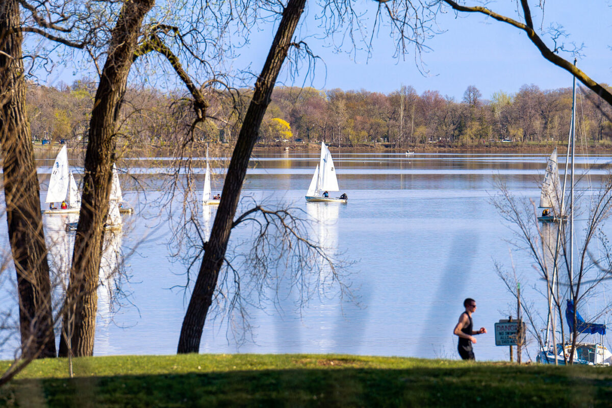
Sailboats anchored on Bde Maka Ska lake with a jogger on the grassy shore beneath bare trees.
Sailboats on Bde Maka Ska in South Minneapolis in May 2023.

Jogger and Sailboats Along Bde Maka Ska in Spring
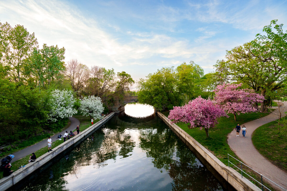
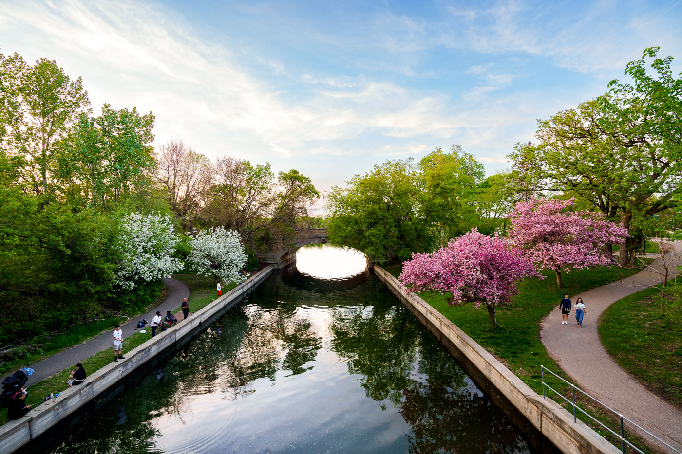
Spring-blooming trees line a canal connecting Bde Maka Ska and Lake of the Isles in Minneapolis.
The channel connecting Bde Maka Ska and Lake of the Isles in Minneapolis is a popular spot for recreation. The channel, part of the city's Grand Rounds Scenic Byway, was created in the early 20th century to improve water flow and navigation between the lakes.

Crabapple Blossoms Along the Bde Maka Ska-Lake of the Isles Channel

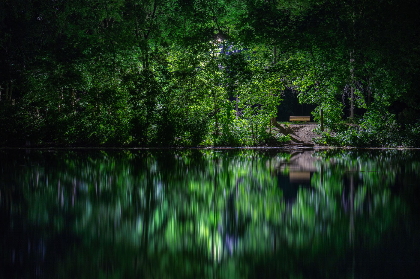
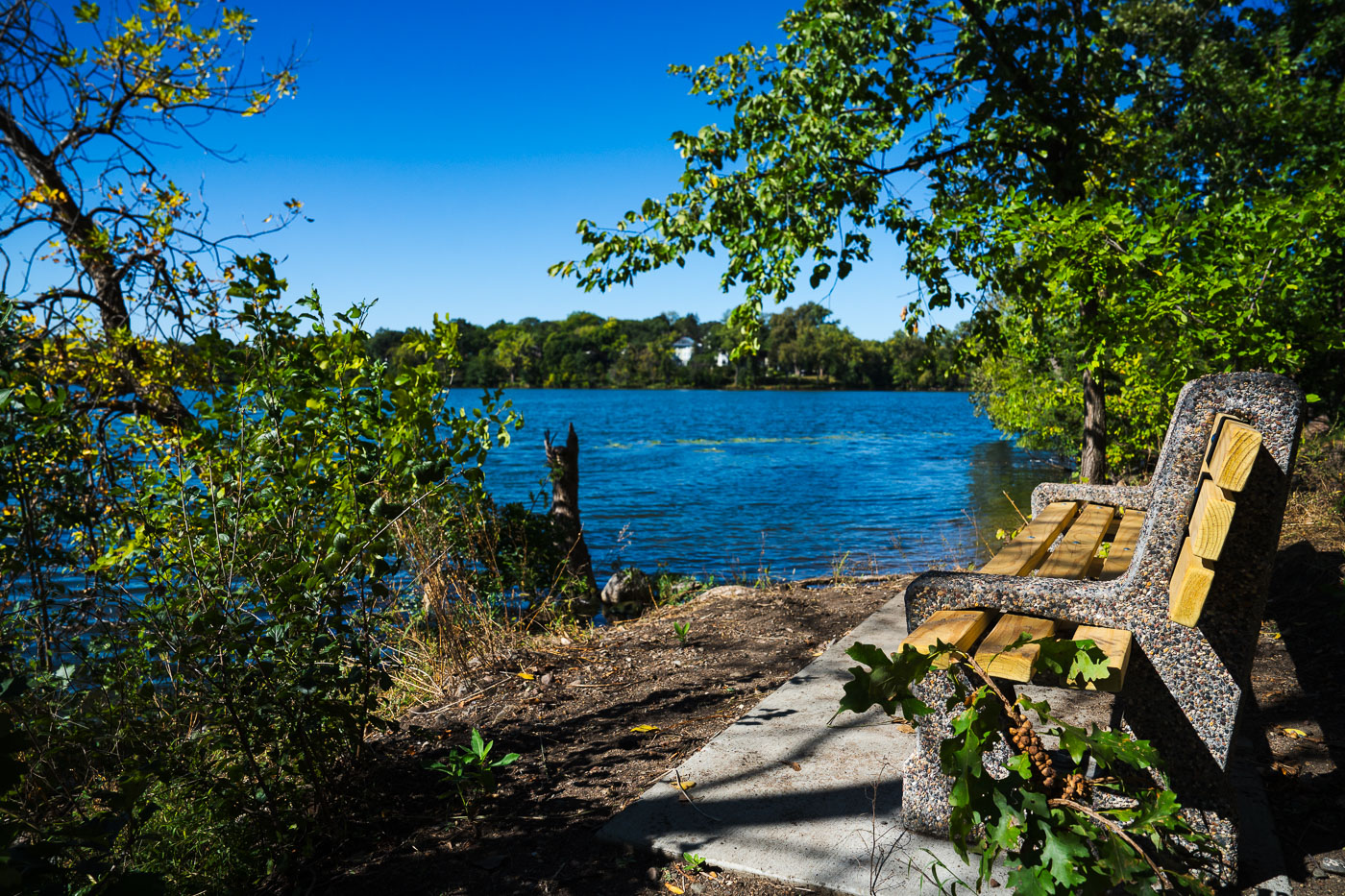
A bench sits on the shore of Cedar Lake in Minneapolis, with dense green trees mirrored in the still water.
Cedar Lake is one of the Minneapolis Chain of Lakes, roughly 170 acres with a maximum depth of about 51 feet. A bench sits along its wooded shoreline near a sandy path leading down to the water.

A Wooded Shoreline Path at Cedar Lake, Minneapolis
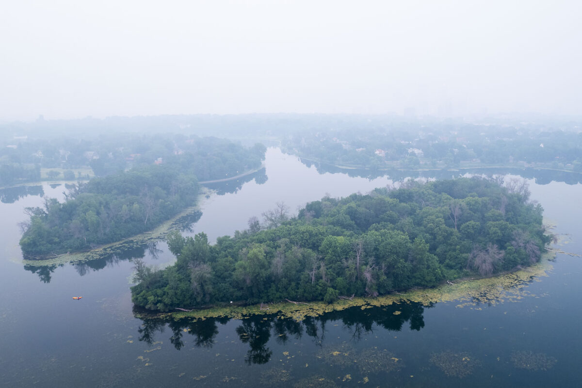
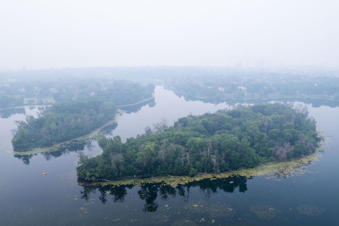
Lake of the Isles with wildfire smoke aerial
Canadian wildfire smoke blankets Lake of the Isles in Minneapolis, obscuring the urban landscape. The lake and its surrounding parkland are part of the Minneapolis Chain of Lakes, a system of lakes and parkways designed by landscape architect H.W.S. Cleveland and engineer William Berry in the late 19th century. These lakes, including Bde Maka Ska, Harriet, Nokomis, and Cedar, were developed to provide naturalistic recreational spaces within the growing city. Today, the Chain of Lakes remains a vital public amenity, offering residents and visitors opportunities for walking, biking, boating, and enjoying nature, even when impacted by environmental events like wildfire smoke.

Minneapolis Smoke Over Lake of the Isles

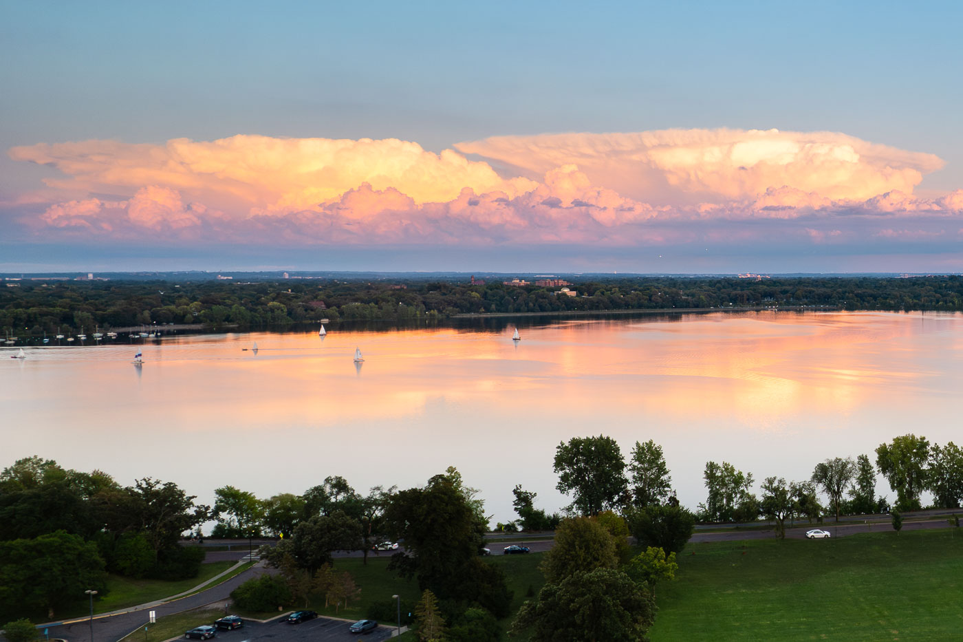
Sunset clouds over Bde Maka Ska Lake in Minneapolis, Minnesota, with sailboats on the water and trees lining the shore.
Sunset clouds over Bde Maka Ska Lake in Minneapolis, Minnesota. Sailboats are visible on the water, with trees and distant buildings lining the shore.

Bde Maka Ska Lake Sunset Clouds Minneapolis

Grand Rounds Scenic Byway in Minneapolis
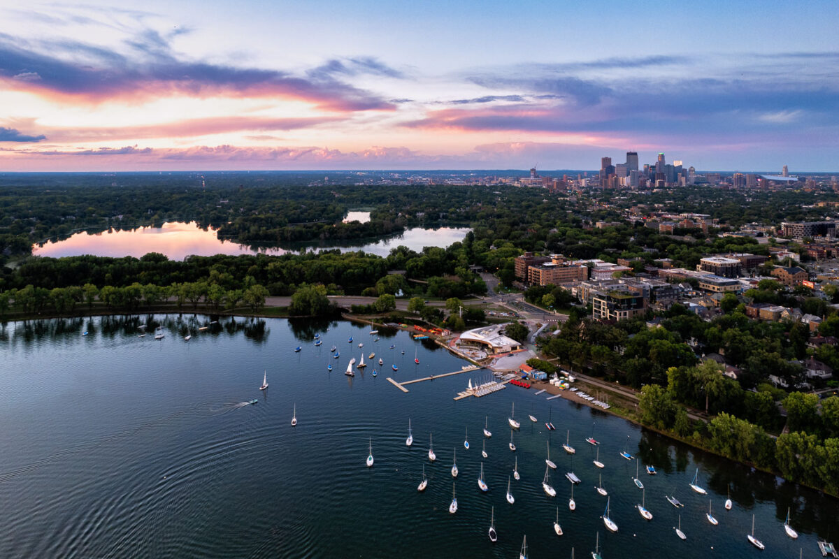
Bde Maka Ska Parkway on Bde Maka Ska, the largest lake in Minneapolis.

Grand Rounds Scenic Byway in Minneapolis

Sailboats on lake with city skyline
Sailboats on Bde Maka Ska in Minneapolis during sunset. Lake of the Isles seen in the distance.

Sailboats and a colorful sunset

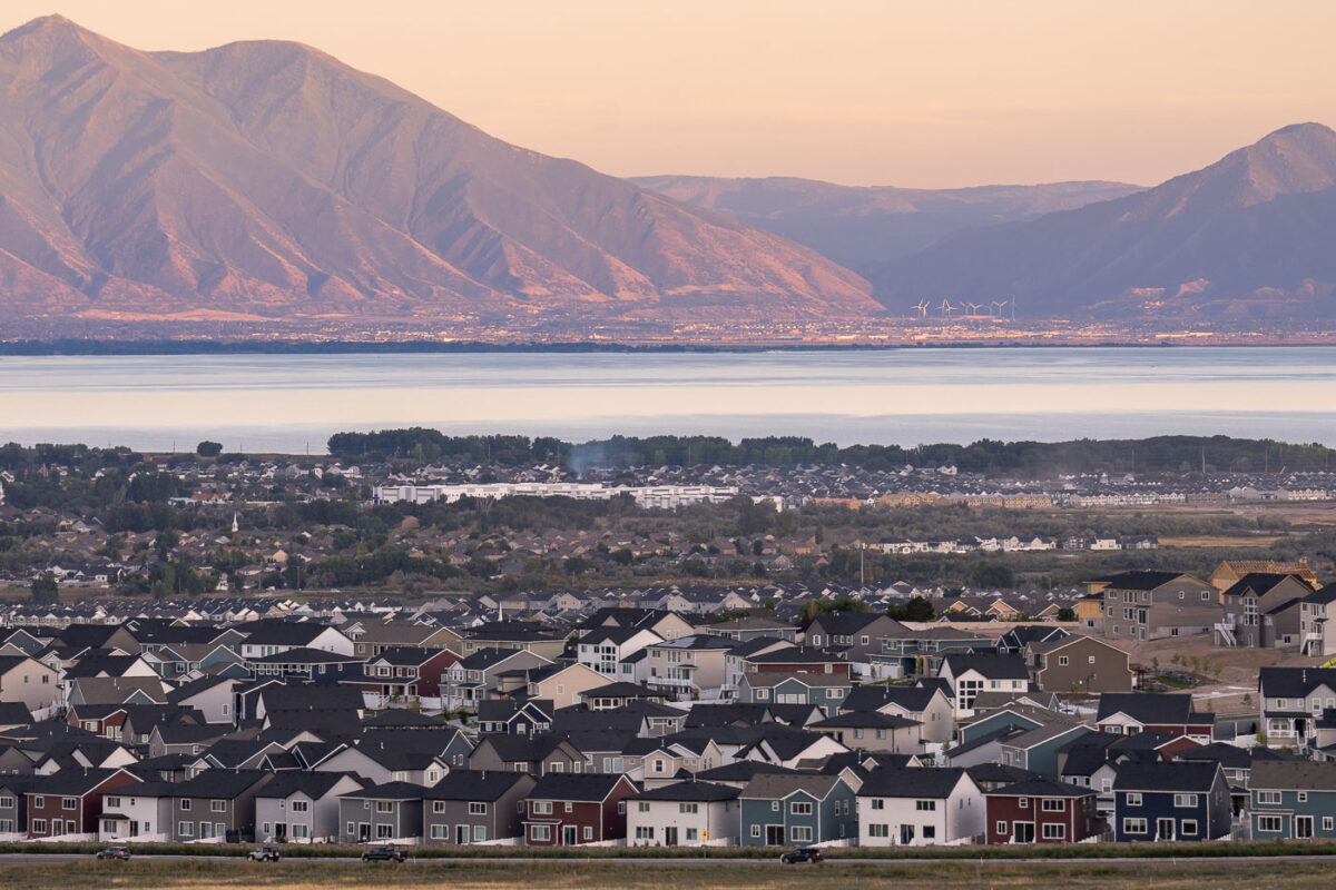
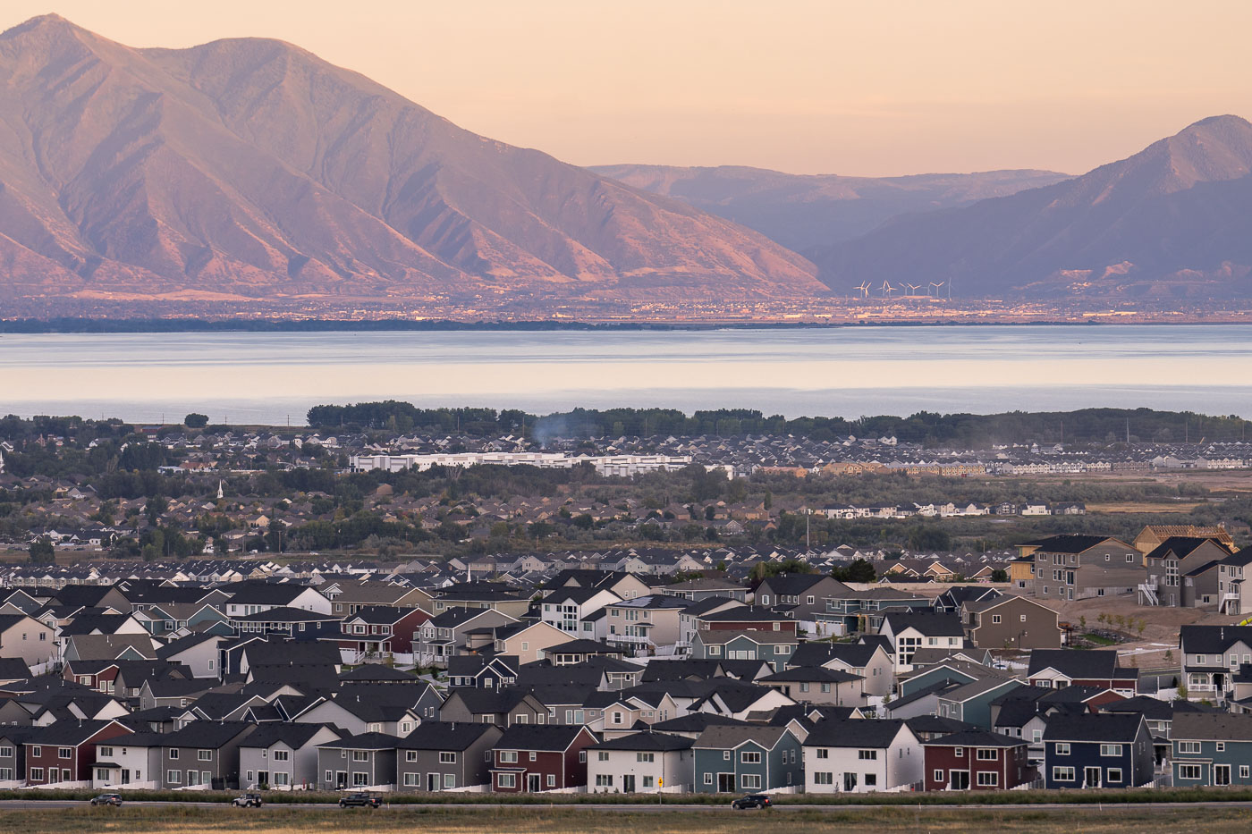
Saratoga Springs residential neighborhood overlooks Utah Lake with Wasatch Range mountains at sunset.
Saratoga Springs sits on the western shore of Utah Lake, roughly 30 miles south of Salt Lake City in Utah County. Incorporated in 1997, the city was one of the fastest-growing municipalities in the country through the 2010s and 2020s as new subdivisions spread across former farmland and desert terrain. Utah Lake itself is the largest freshwater lake in Utah, covering about 148 square miles, and has long served as an irrigation source for the valley's agriculture. Across the water, the Wasatch Range rises along the eastern edge of the valley, with the Provo-Orem area visible at its base.

Rooftops of Saratoga Springs Along Utah Lake at Sunset

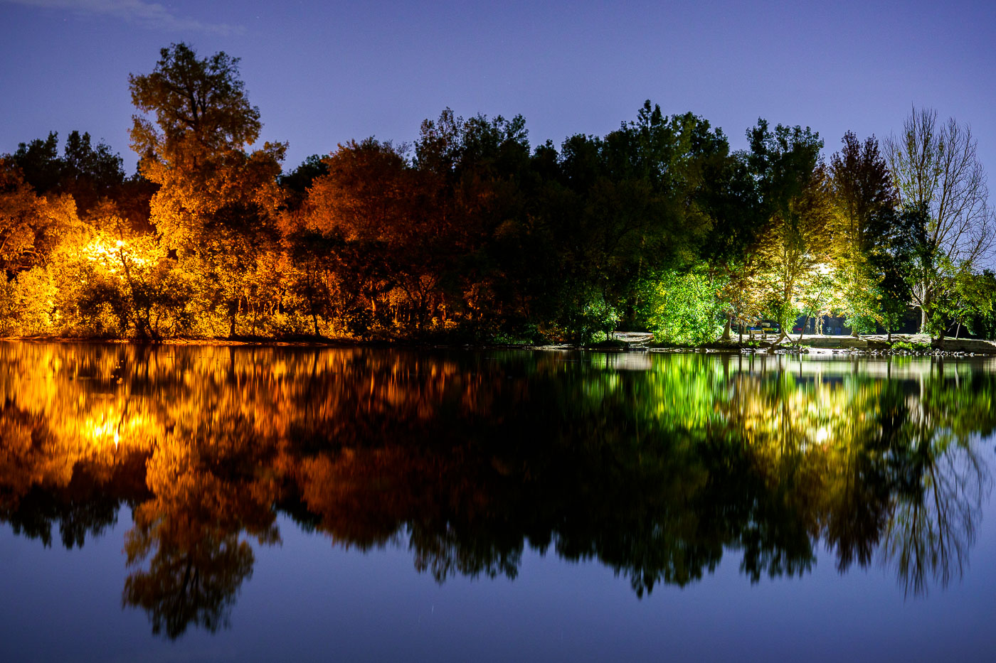
Cedar Lake in Minneapolis glows with orange and green park lighting during twilight hours in September 2023.
Cedar Lake is one of the Minneapolis Chain of Lakes, about 170 acres and 51 feet deep at its deepest. The Kenilworth Channel, dug in 1913, joins it to Lake of the Isles.

Autumn Trees Reflected in Cedar Lake, Minneapolis
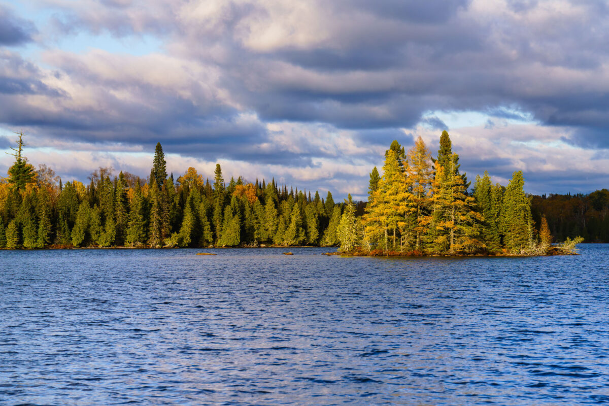
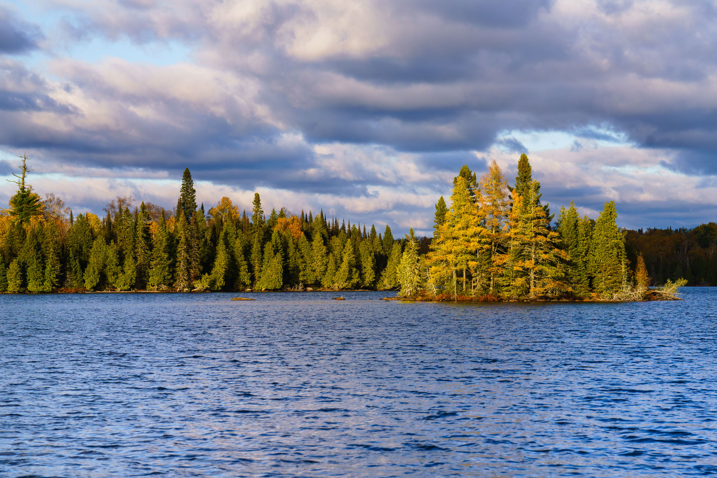
Richey Lake in Superior National Forest, Minnesota, features a tree-lined shore and a small island under a cloudy October sky.
Richey Lake is visible in the Superior National Forest, Northern Minnesota, under a dramatic, cloud-filled sky in October 2023. The image shows a body of water with a tree-lined shore and a small, wooded island. The Superior National Forest is a protected area in northeastern Minnesota known for its wilderness and extensive lake systems. This photograph captures the natural landscape during the autumn season, highlighting the transition of foliage colors amidst the evergreen trees.

Richey Lake, Superior National Forest, Minnesota
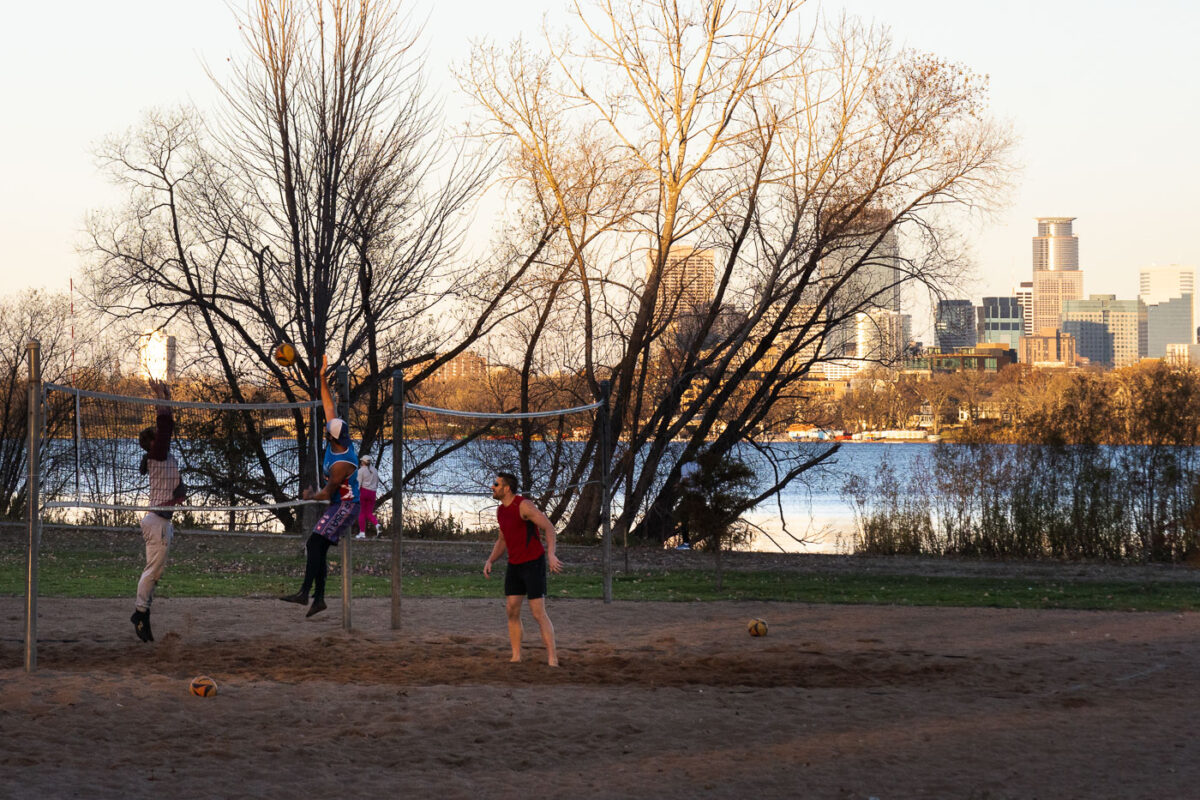
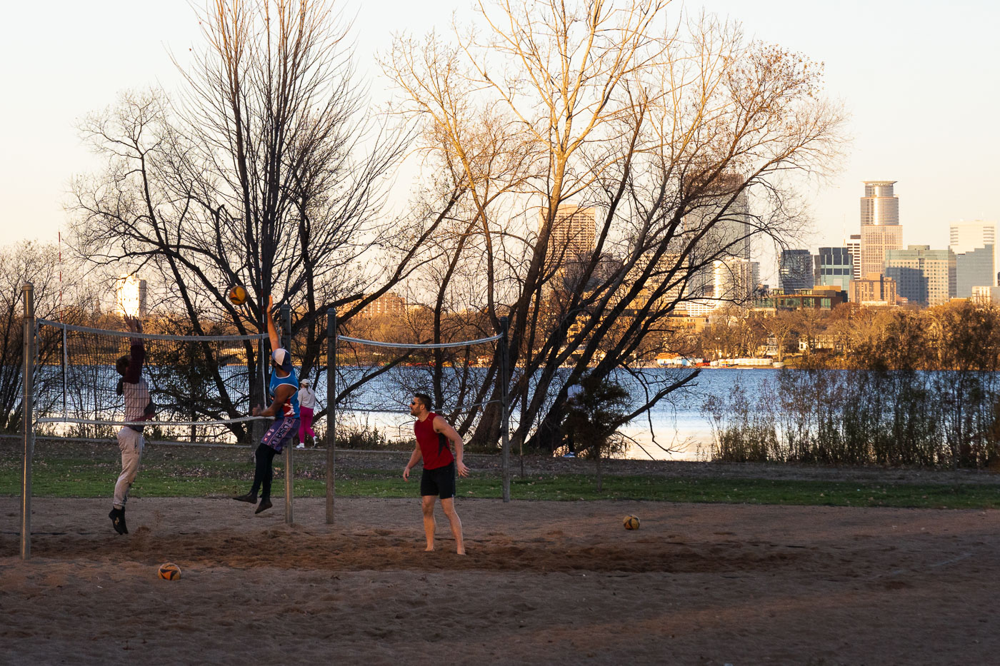
Volleyball players on a sand court at Bde Maka Ska lake with Minneapolis skyline beyond.
Volleyball players engage in a game on Bde Maka Ska in Minneapolis during an unseasonably warm mid-November day. The lake, one of the city's Chain of Lakes, is a popular destination for recreation throughout the year.

Sand Volleyball at Sunset on Bde Maka Ska

Joggers run on a paved path beneath bare trees along Bde Maka Ska lake in Minneapolis.
Joggers use the paved path along Bde Maka Ska in Minneapolis during November 2023. Established in the late 19th century, Bde Maka Ska is one of Minneapolis's Chain of Lakes and has historically served as a crucial public space for recreation and community events. The extensive path system encircling the lake remains a popular route for runners, cyclists, and walkers.

Golden Hour Walkers Along the Bde Maka Ska Path
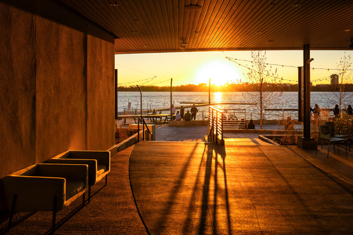
Wooden pavilion overlooking Bde Maka Ska lake at sunset in Minneapolis, Minnesota.
The Bde Maka Ska Pavilion in Minneapolis, rebuilt after a fire destroyed the previous building.

Sunset Light Inside the Bde Maka Ska Pavilion
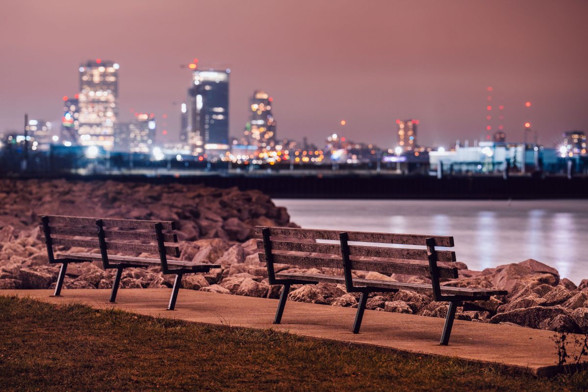
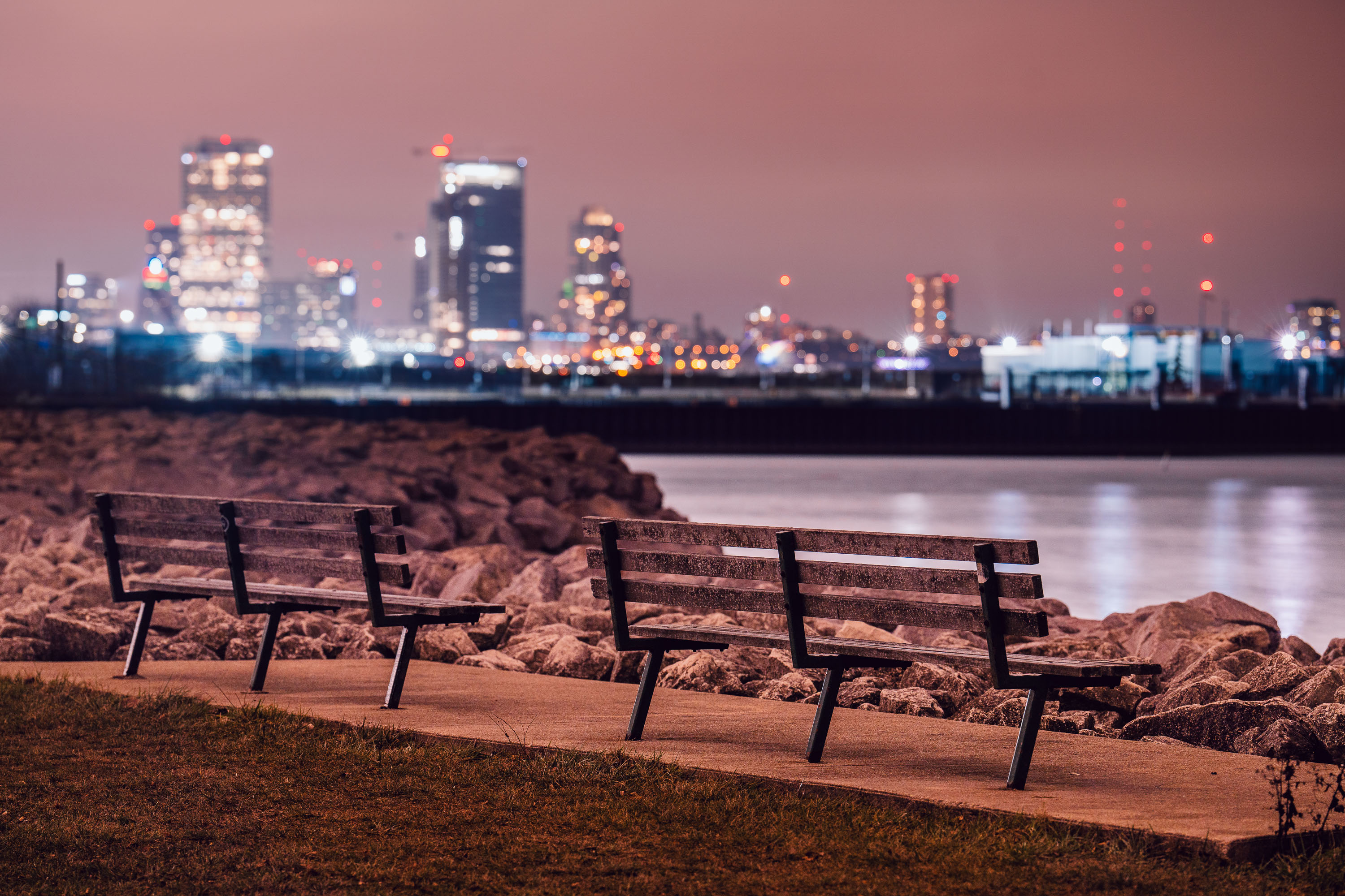
Wooden benches on Milwaukee's lakefront face the city skyline across Lake Michigan at dusk.
Milwaukee sits on the western shore of Lake Michigan, the only Great Lake located entirely within the United States. The lake covers about 22,300 square miles and reaches depths near 925 feet, ranking second among the five Great Lakes by volume. Riprap and paved paths like this one run along much of Milwaukee's lakefront, part of a long-running effort to control erosion while keeping the shoreline open to the public. The downtown skyline across the water grew up largely in the 20th century as Milwaukee developed into a shipping and manufacturing center on the lake.

Lakefront Benches Facing the Milwaukee Skyline at Night

Illuminated paper luminary bag with City of Lakes Loppet snowflake logo at Lake of the Isles, Minneapolis.
A luminary from the annual Luminary Loppet illuminates the night around Lake of the Isles in Minneapolis. This popular winter event transforms the perimeter of Lake of the Isles, part of the city's Chain of Lakes, into a festive trail for cross-country skiing, snowshoeing, and walking. Thousands of luminaries line the path, creating a unique community experience. In February 2024, unseasonably warm weather necessitated moving the event's course from the lake's surface to its surrounding pathways.

Luminary Loppet “City of Lakes” Bag With Minneapolis Skyline Beyond

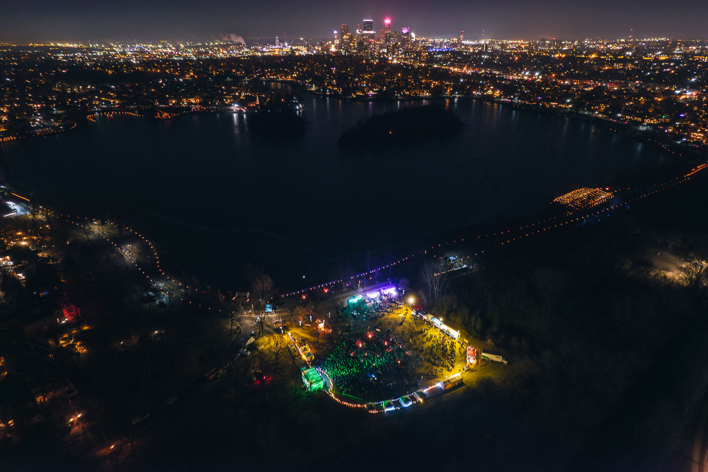
Aerial view of Lake of the Isles in Minneapolis at night with illuminated luminaries lining the parkway pathways around the dark water.
The Luminary Loppet, an annual winter festival, took place around Lake of the Isles in Minneapolis in February 2024. Due to unseasonably warm weather, the event's traditional route across the frozen lake was relocated to the surrounding parkways, where participants walked among thousands of luminaries.

Aerial View of the Luminary Loppet Beside Lake of the Isles

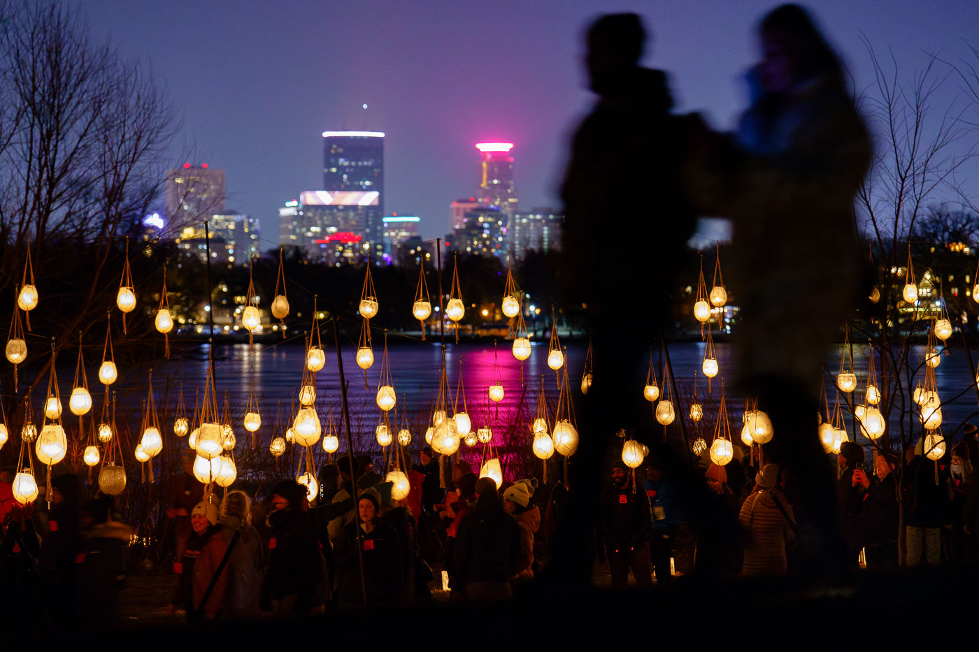
A couple walk in front of luminaries with city skyline
Participants gather for the Luminary Loppet around Lake of the Isles in Minneapolis during February 2024. Due to unseasonably warm weather, the annual winter event was held off the ice, a departure from its traditional setup.

Luminary Loppet Luminaries, Lake of the Isles 2024

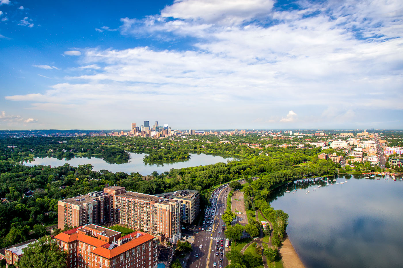
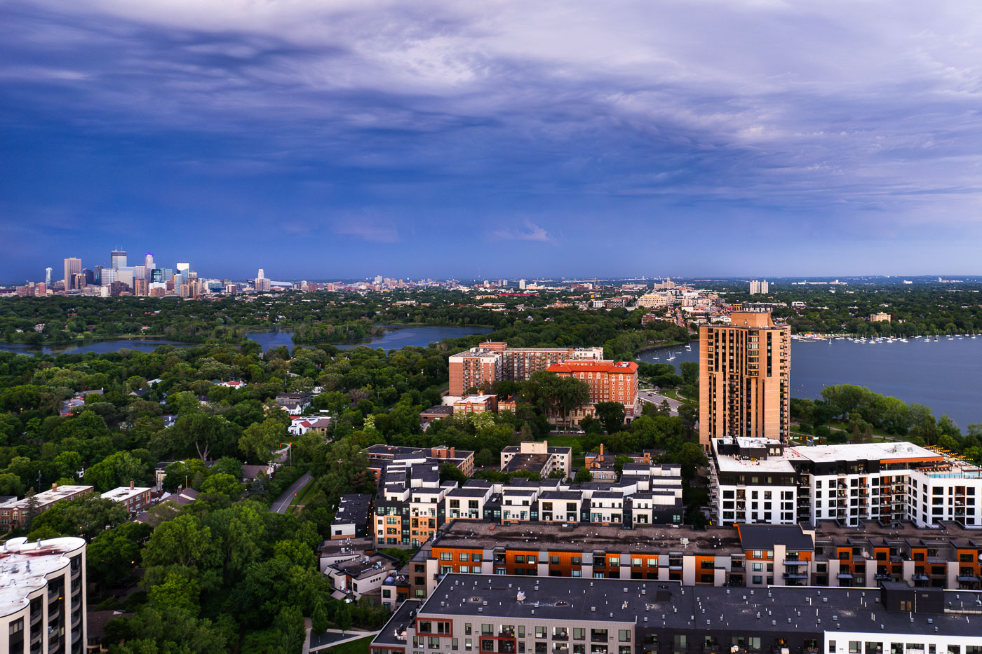
Minneapolis skyline beyond residential buildings and Bde Maka Ska lake in the Uptown neighborhood.
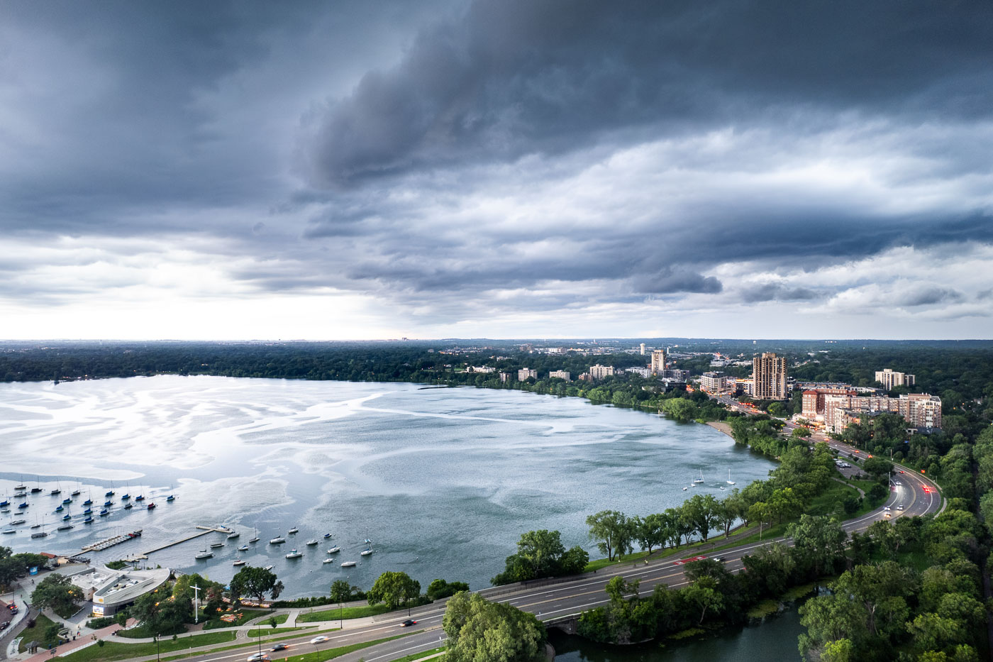
This photograph presents a panoramic view of Minneapolis, Minnesota, looking eastward from the southwest quadrant of the city. The foreground features residential buildings and the distinct architecture of the Uptown neighborhood. Beyond, the waters of Bde Maka Ska and Lake of the Isles are visible.

Aerial View of Uptown and Downtown Minneapolis After a Storm

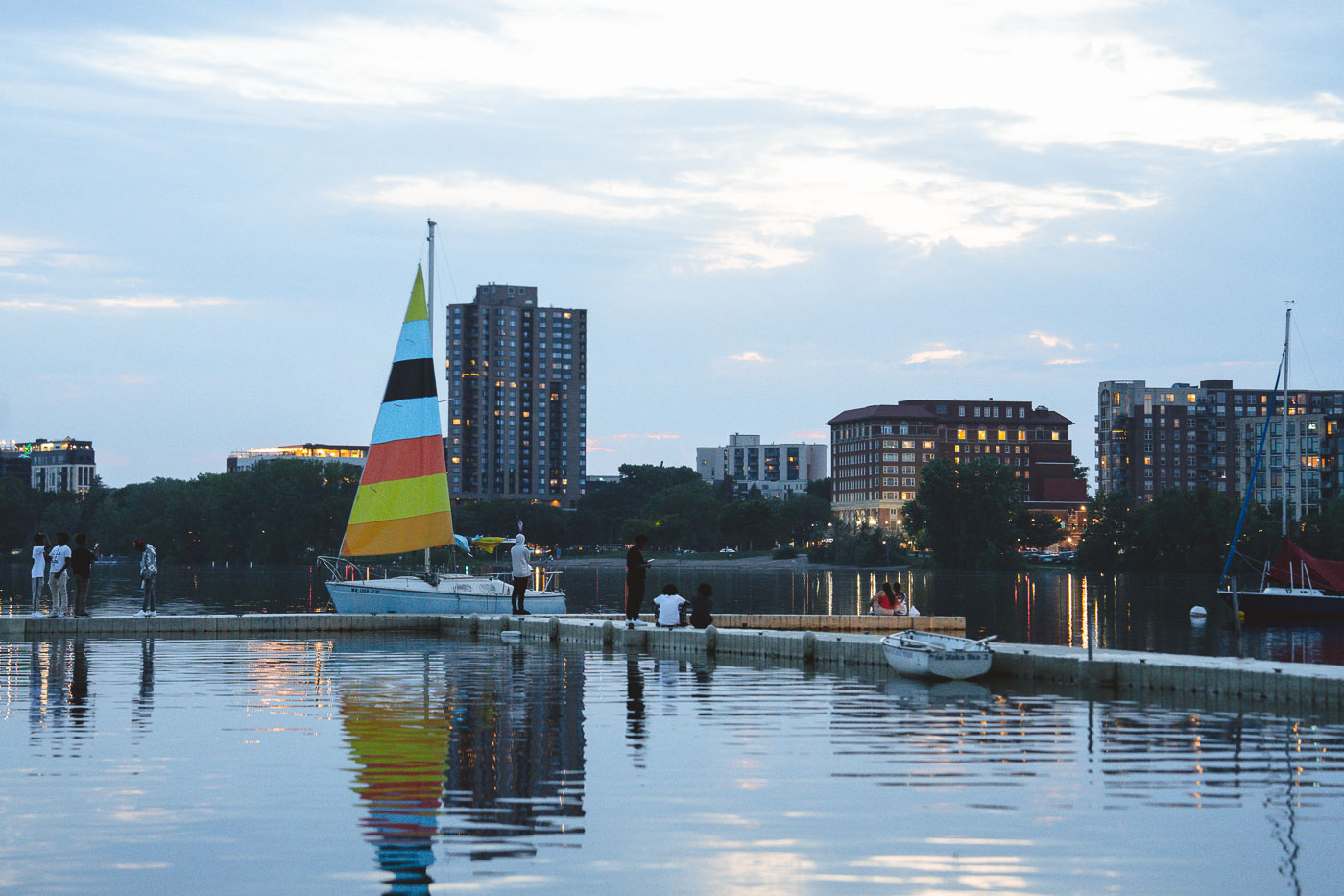
Sailboat with colorful striped sail docked at Bde Maka Ska lake in Minneapolis with city skyline beyond.
Bde Maka Ska, Minneapolis: Sailboat and Sunset View. People gather on the docks of Bde Maka Ska, one of Minneapolis's Chain of Lakes, to watch the sunset. The lake, originally known as Lake Calhoun, was renamed Bde Maka Ska in 2020 following a tribal council resolution to honor its Dakota heritage.

Colorful Sailboat at Dusk on Bde Maka Ska

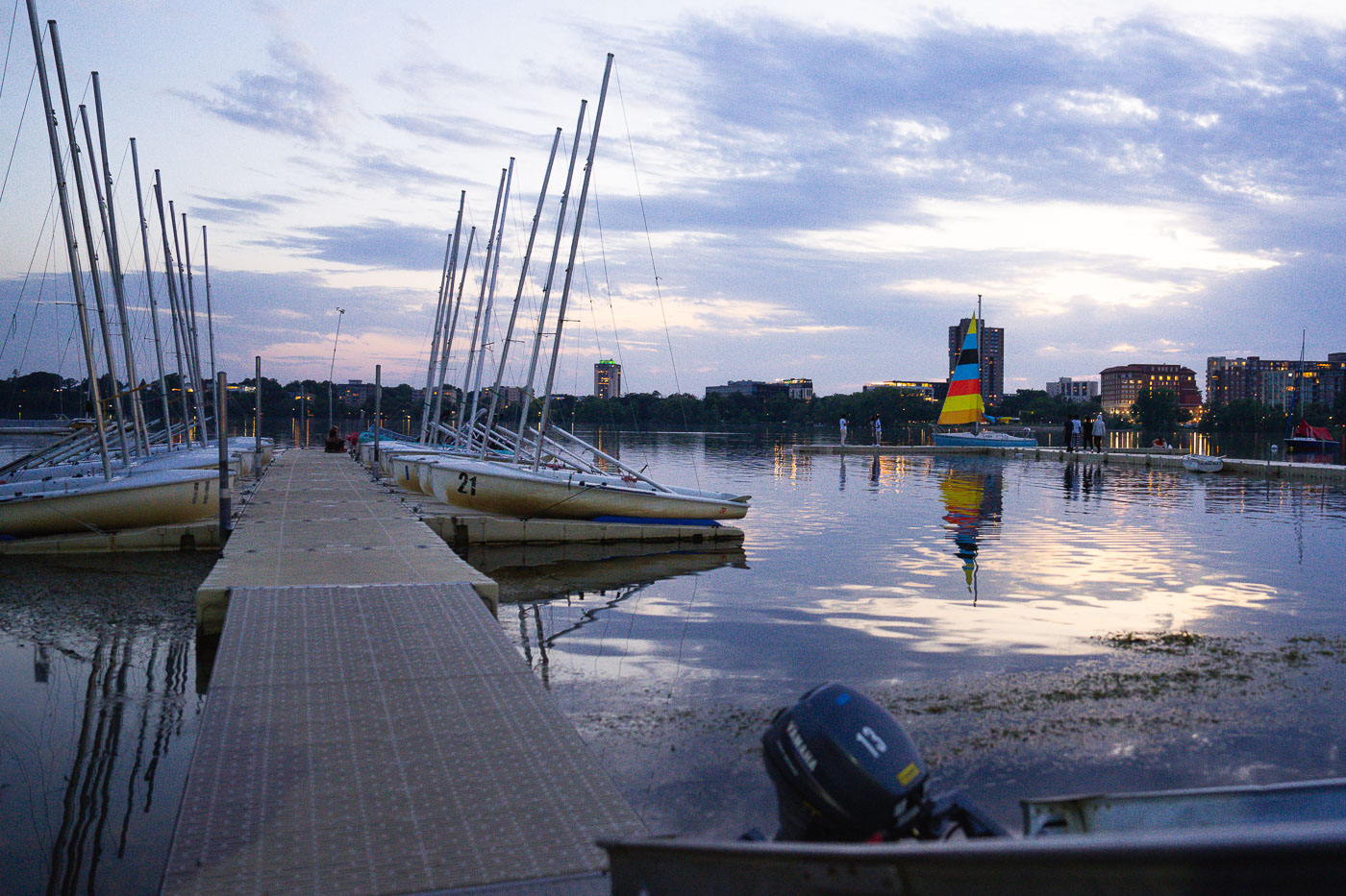
Sailboats with tall masts moored at a dock on Bde Maka Ska lake in Minneapolis at dusk.
Sailboats are docked at Bde Maka Ska, a lake in Minneapolis, Minnesota. The lake is part of the city's Chain of Lakes, a system of lakes and parkways that are popular for recreation and serve as a vital green space within the urban environment. Bde Maka Ska, originally known as Lake Calhoun, was renamed in 2020 to honor the Dakota people.

Dusk at the Bde Maka Ska Sailboat Dock, Minneapolis

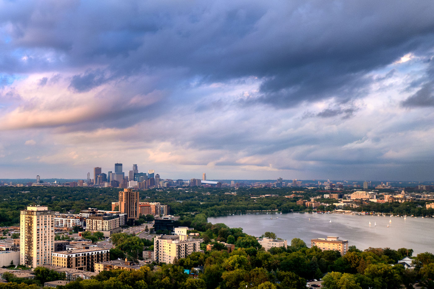
Sailboats dotting Bde Maka Ska with the Minneapolis skyline beyond under a dramatic cloudy sky.
Sailboats on Bde Maka Ska in Minneapolis on a June evening in 2024, under a sky filled with dramatic clouds.

Storm Clouds Clear Over Bde Maka Ska and the Minneapolis Skyline

Minneapolis skyline illuminated at dusk across Bde Maka Ska lake after a thunderstorm.
The Minneapolis skyline is visible across Bde Maka Ska following a severe thunderstorm on August 26, 2024.

Storm Clouds Glow Red Over the Minneapolis Skyline From Bde Maka Ska

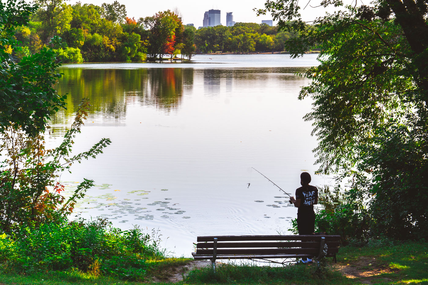
A person fishes from a bench on Cedar Lake's shore in Minneapolis with downtown towers visible across the water.
Cedar Lake is one of the Minneapolis Chain of Lakes, about 170 acres and 51 feet deep at its deepest point. An angler casts a line from the shore toward the open water.

Angler Casts a Line into Cedar Lake Near Downtown Minneapolis

Memorial bench overlooking Cedar Lake in Minneapolis, Minnesota, surrounded by vegetation and trees.
A memorial bench dedicated to Geoffrey Hellman sits along the shore of Cedar Lake in Minneapolis, part of a park program that lets people sponsor a bench for a decade. Its plaque reads, "for my husband Geoffrey Hellman who finds his peace here on the shores of Cedar Lake. Randi." Cedar Lake is one of the city's Chain of Lakes, managed by the Minneapolis Park and Recreation Board.

A Memorial Bench Overlooking Cedar Lake

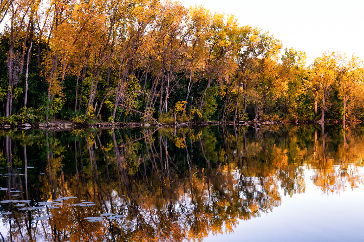
Tall trees with golden autumn foliage mirror in the still water of Cedar Lake in Minneapolis.
Cedar Lake is one of the Minneapolis Chain of Lakes, about 170 acres and 51 feet deep at its deepest. A wooded shoreline of cottonwoods and other hardwoods rings much of the lake, turning gold and orange each October.

Fall Color Reflected Along Cedar Lake’s Shoreline
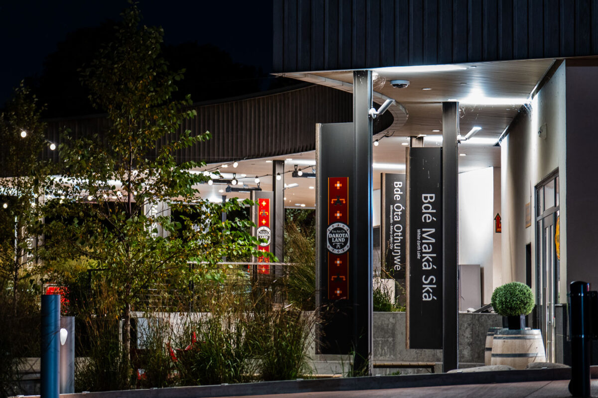
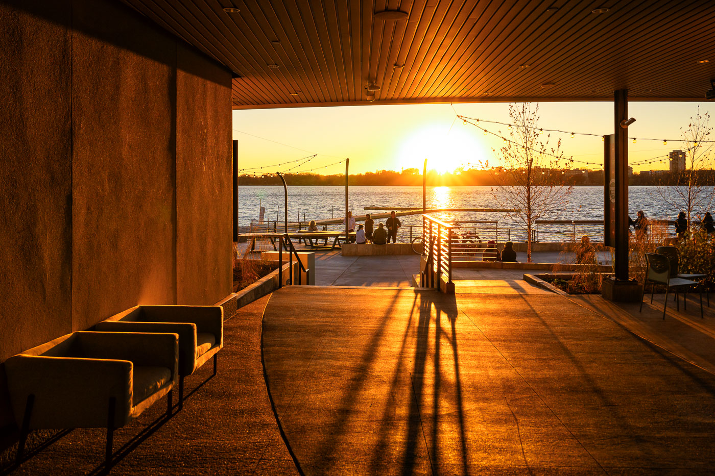
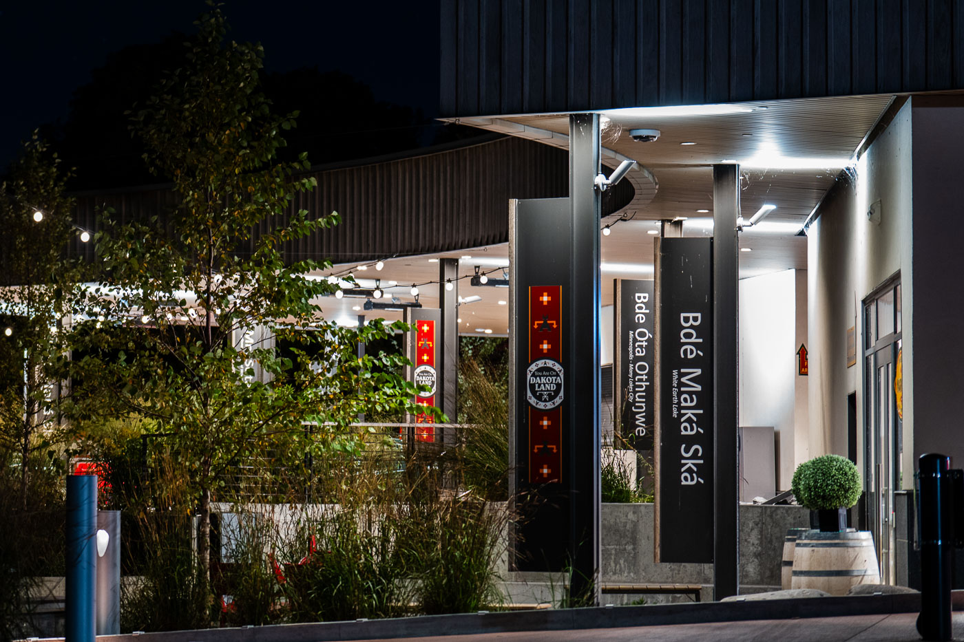
Bde Maka Ska Pavilion in Minneapolis illuminated at night with signage displaying the Dakota name for the lake.
The Bde Maka Ska Pavilion in Minneapolis, illuminated at night, features signage honoring the lake's Dakota name, "Bdé Óta Othúŋwe," meaning "Many Village Place."

String Lights at Bde Maka Ska Pavilion After Dark

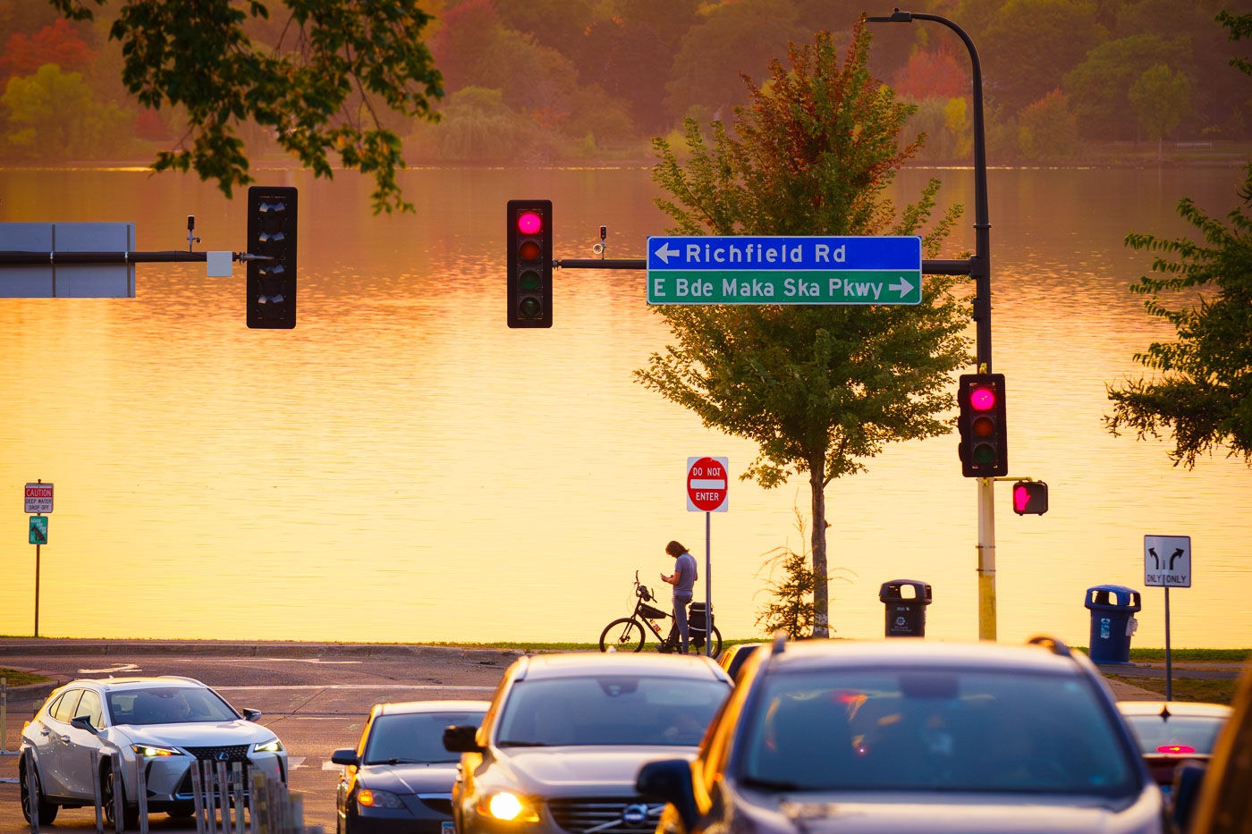
Richfield Drive and Bde Maka Ska Parkway
Sunset over Bde Maka Ska from 36th Street.

Bde Maka Ska Parkway at Sunset, Minneapolis
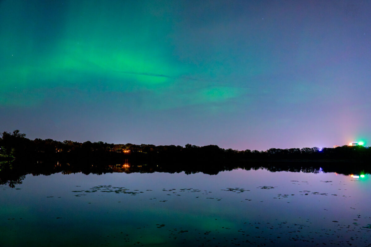
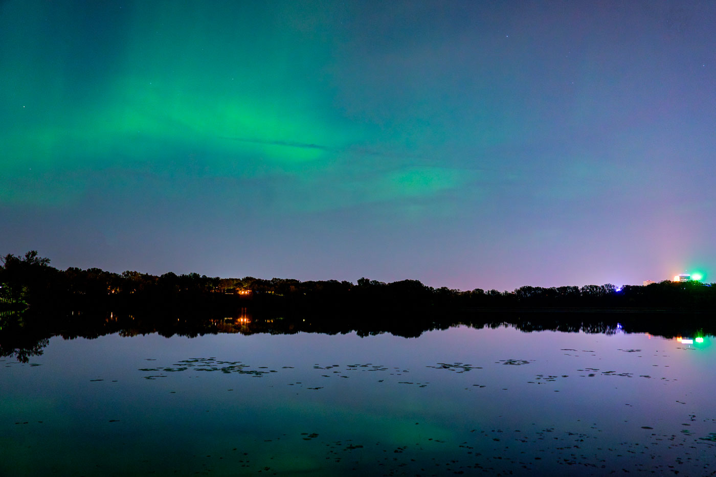
Aurora borealis illuminates the sky above Cedar Lake with downtown Minneapolis skyline lights mirrored in the still water below.
The Aurora Borealis is visible above Cedar Lake in Minneapolis. The lights of the downtown Minneapolis skyline are reflected in the water.

Northern Lights Glow Above Cedar Lake in Minneapolis
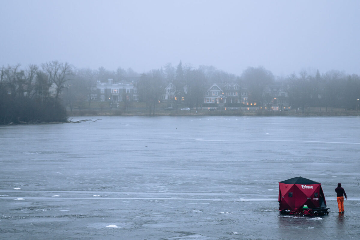
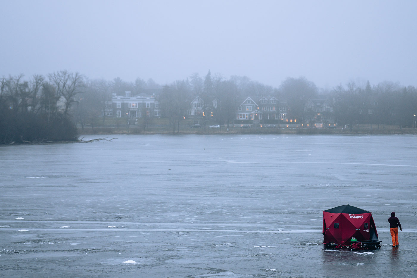
Lake of the Isles Ice Fishing
Icve fishing on Minneapolis's Lake of the Isles, a prominent feature of the city's Chain of Lakes park system.

Ice Fishing on Lake of the Isles, Minneapolis

Snowkiting in Minneapolis
A snowkiter navigates the frozen expanse of Bde Maka Ska in Minneapolis during a February 2025 snowstorm. Bde Maka Ska, meaning 'Lake White Earth' in the Dakota language, is the largest lake in Minneapolis and a central component of the city's Chain of Lakes.

Snowkiter Vanishes into Whiteout on Bde Maka Ska

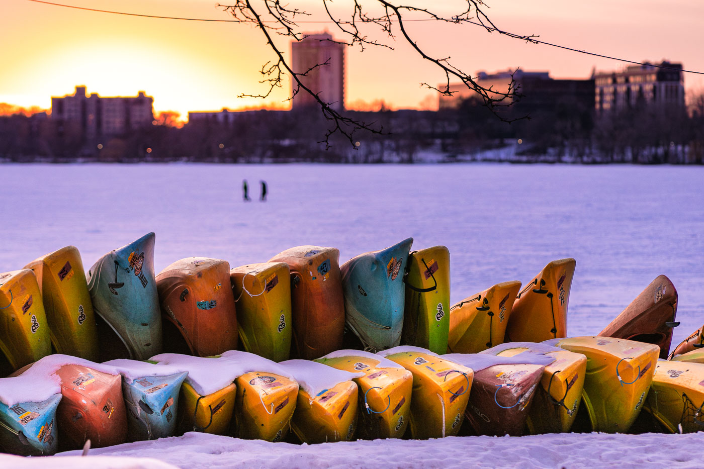
Canoes and kayaks in the snow in Minneapolis
Canoes and kayaks are stacked on the snowy shore of Bde Maka Ska in Minneapolis at sunset.

Snowbound Kayaks Along Bde Maka Ska at Sunset

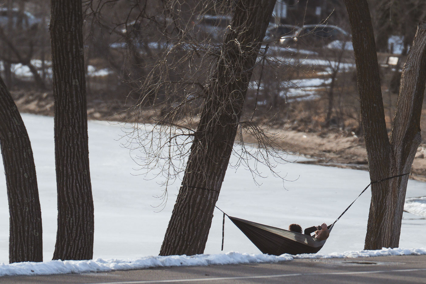
Hammocking on Bde Maka Ska Minneapolis
A person relaxes in a hammock strung between trees along the shore of Bde Maka Ska in Minneapolis. This on one of the first mild days of spring, with lingering snow on the ground and the lake still partially frozen.

Hammocking Along a Frozen Bde Maka Ska in Minneapolis

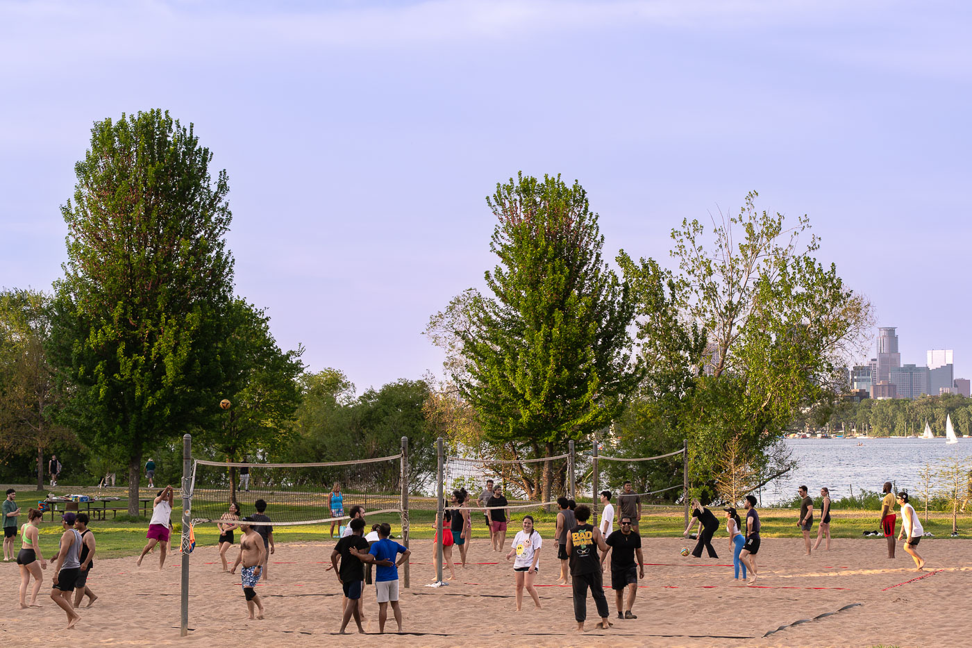
Top 10 Weather Week and Lake Volleyball in Minneapolis
What a beautiful top 10 weather week it's been in Minneapolis! Feel like next time we see these temperatures it'll be with the humidity? People squeezing in a few more games of volleyball at Bde Maka Ska before tomorrow's rain.

Top 10 Weather Week and Lake Volleyball in Minneapolis

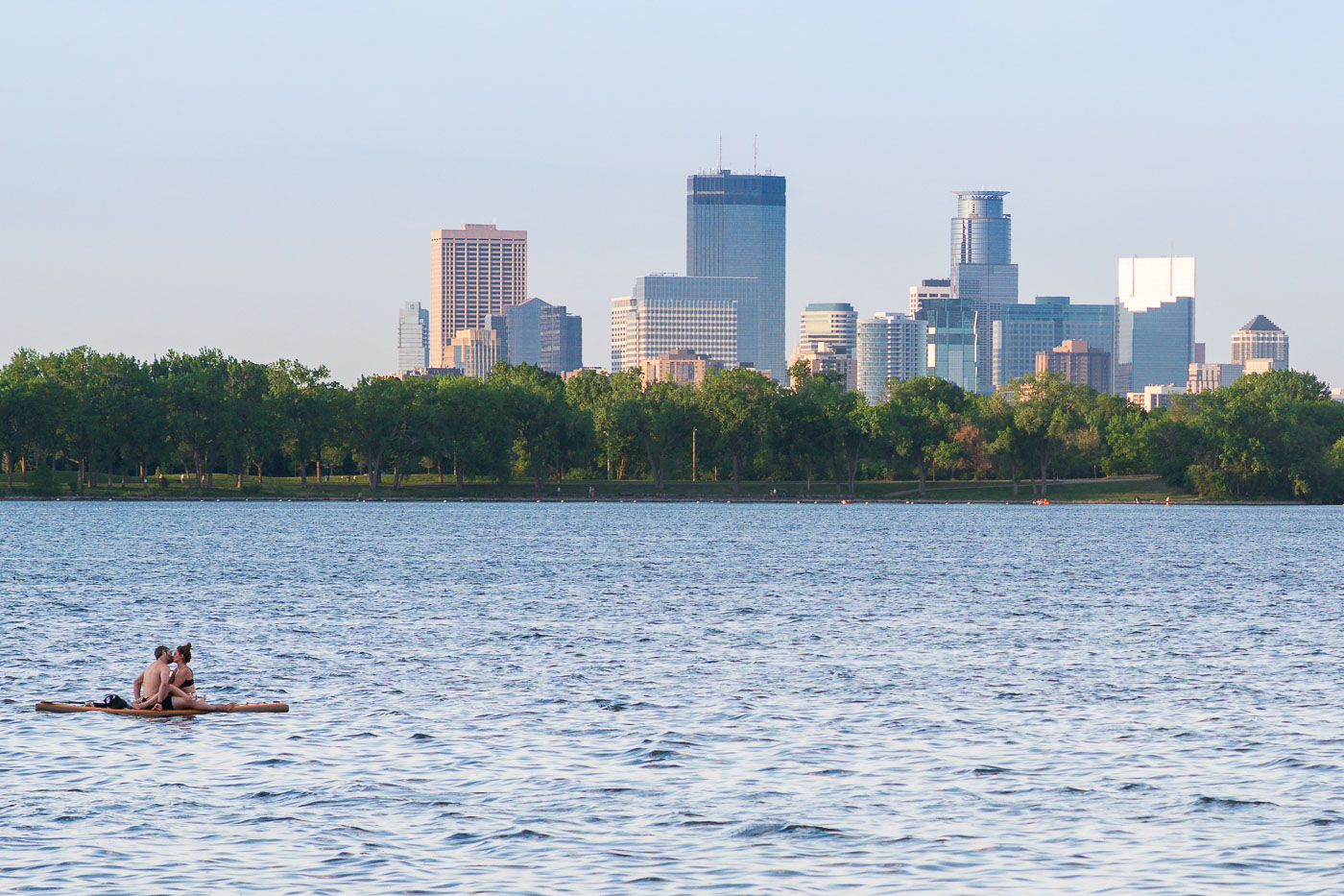
Couple kisses on a Minneapolis Lake in front of the downtown skyline
A couple enjoys Bde Maka Ska, one of Minneapolis's Chain of Lakes, with the city skyline visible in the distance. Bde Maka Ska, meaning 'White Earth Lake' in Dakota, is the largest lake in Minneapolis.

Couple Floating on Bde Maka Ska, Minneapolis Skyline
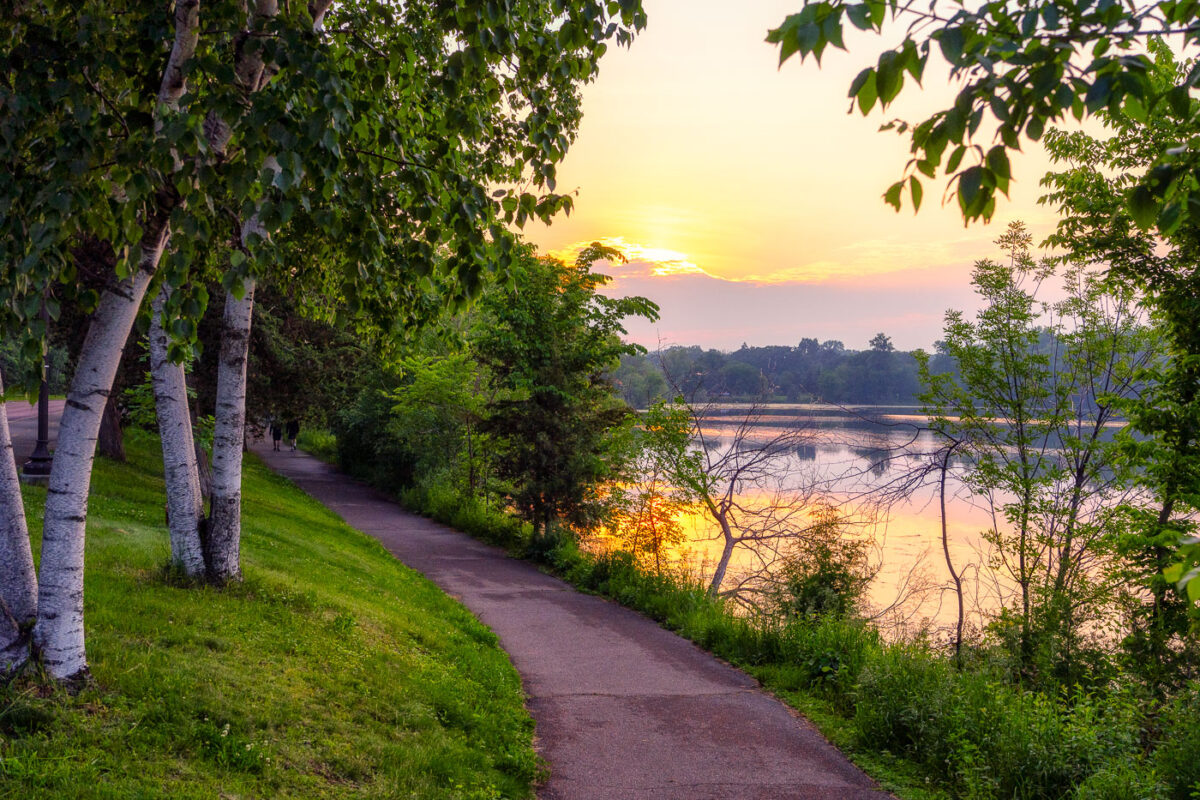
Beautiful sunset around Cedar Lake in Minneapolis
A spectacular sunset around Cedar Lake yesterday. Although probably made possible by incoming wildfire smoke.

Beautiful sunset around Cedar Lake in Minneapolis

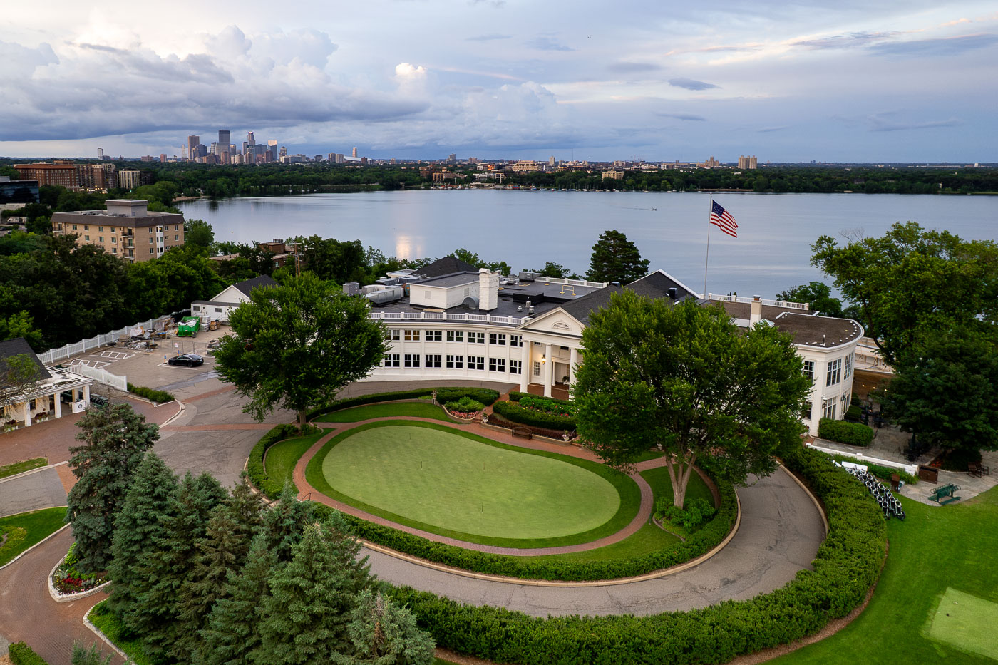
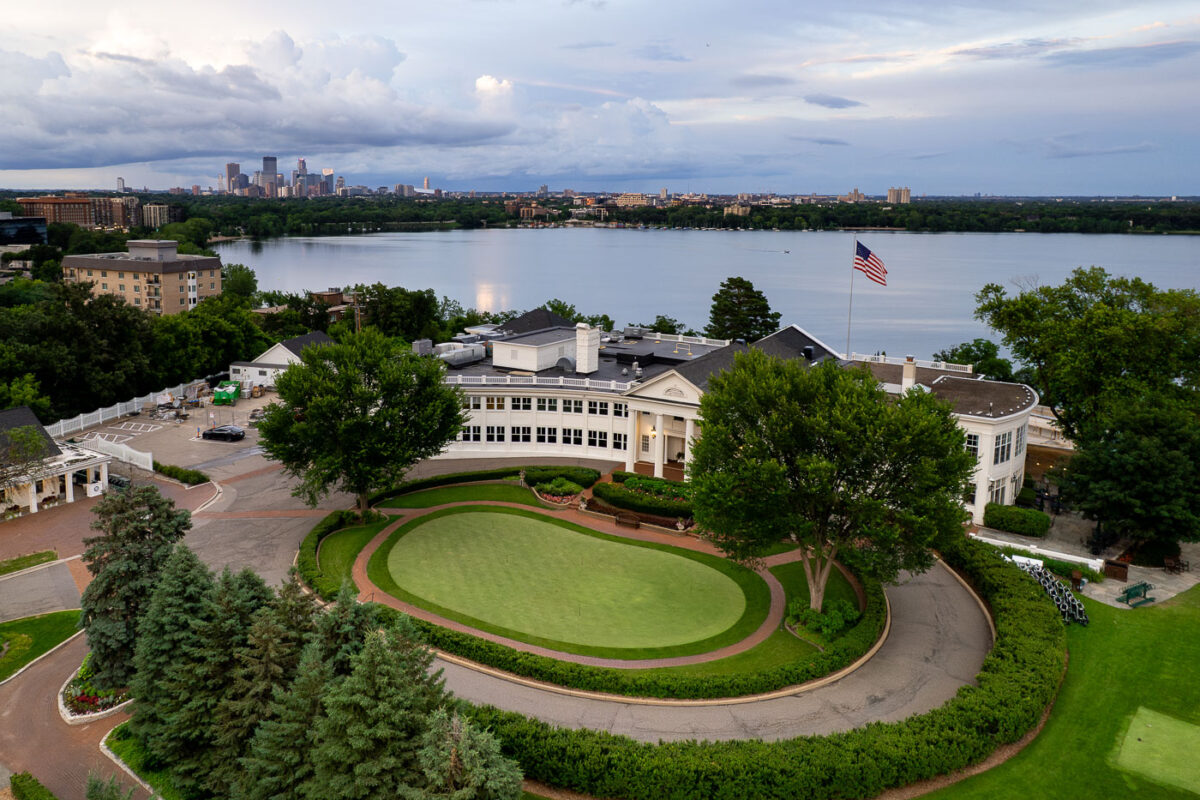
Minikahda Club golf course overlooks Bde Maka Ska with Minneapolis skyline beyond.
The Minikahda Club, a private golf club established in 1898, is situated on the western shore of Bde Maka Ska in Minneapolis. Its historic clubhouse and golf course provide a prominent recreational and social center overlooking the lake. From this vantage point, the club offers views across Bde Maka Ska to the distant Minneapolis skyline.

Aerial View of the Minikahda Club Over Bde Maka Ska
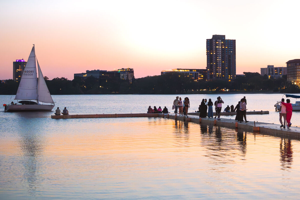
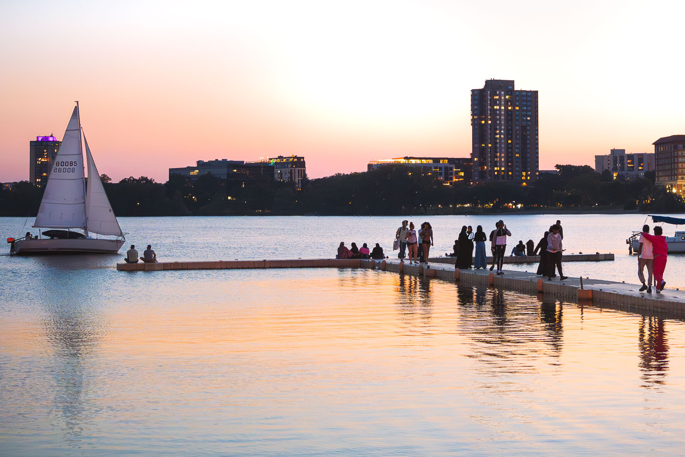
Sailboat and people on dock at Bde Maka Ska during sunset in Minneapolis.
A sailboat glides across Bde Maka Ska at sunset, with people gathered on a dock near the Minneapolis Sailing Center. Located in Minneapolis, Bde Maka Ska is the largest lake in the city's Chain of Lakes. The lake's name, meaning 'White Earth Lake' in the Dakota language, was officially restored in 2017, reflecting its Indigenous heritage.

Sailboat Passing the Dock on Bde Maka Ska at Sunset
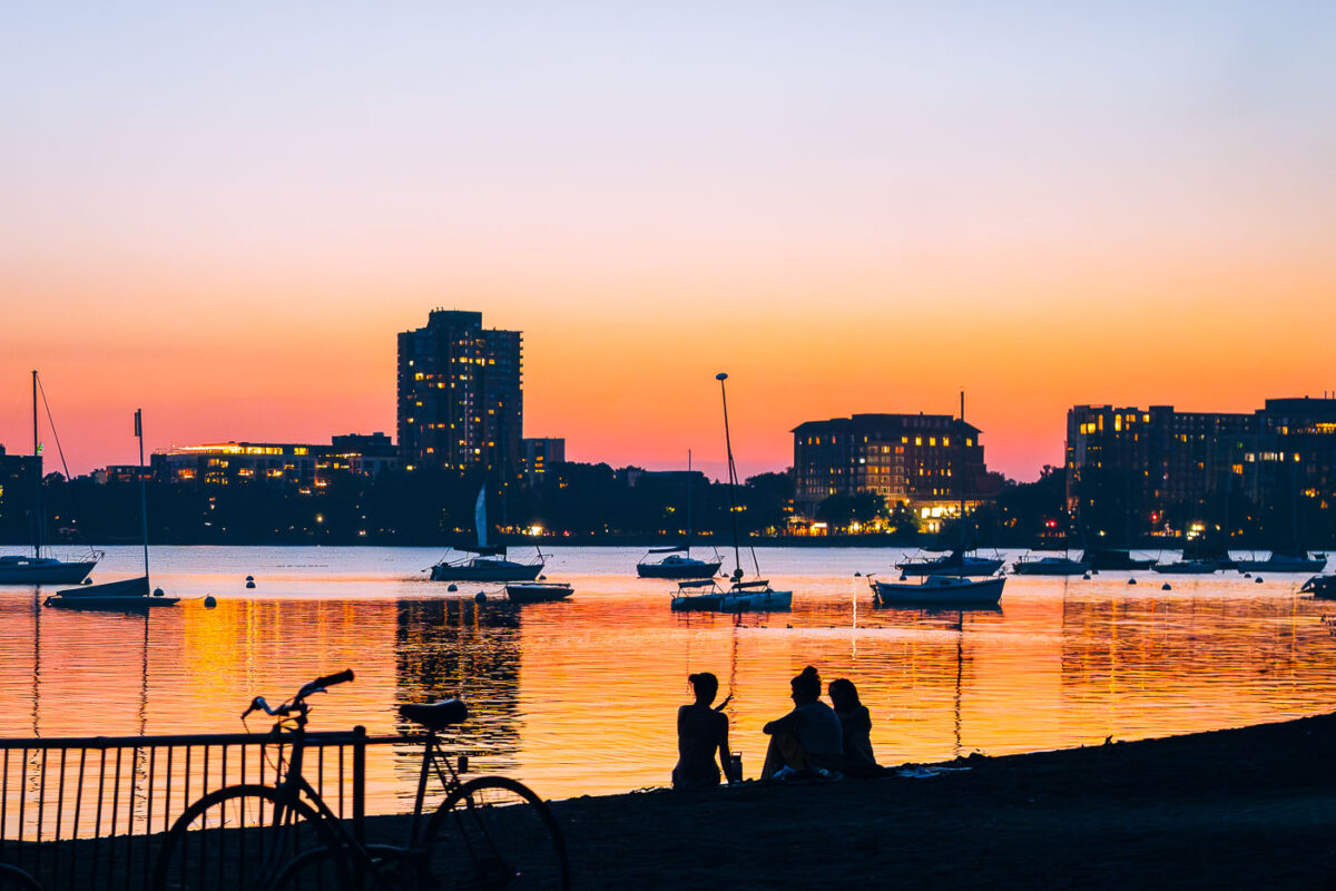
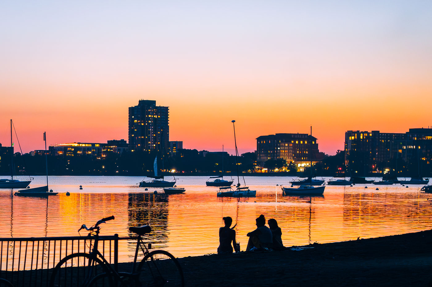
People and bicycles on shore at Bde Maka Ska Lake during sunset with moored sailboats and Minneapolis skyline.
Bde Maka Ska Lake, located in South Minneapolis, is a prominent natural lake within the city's Chain of Lakes Regional Park system. Originally known by its Dakota name, meaning "White Earth Lake," it was officially restored in 2017 after decades as Lake Calhoun.

Sailboats and Skyline at Dusk on Bde Maka Ska
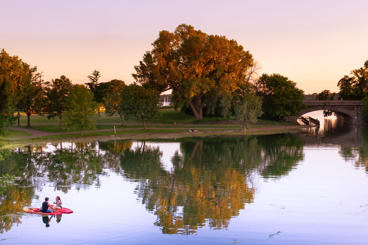
Two paddleboarders on Lake of the Isles in Minneapolis at sunset with park trees and stone bridge.
Two individuals paddleboard on Lake of the Isles in Minneapolis during sunset. Lake of the Isles is one of five lakes in the Chain of Lakes Regional Park, a significant part of Minneapolis's Grand Rounds National Scenic Byway.

Paddleboarders Near the Stone Bridge on Lake of the Isles
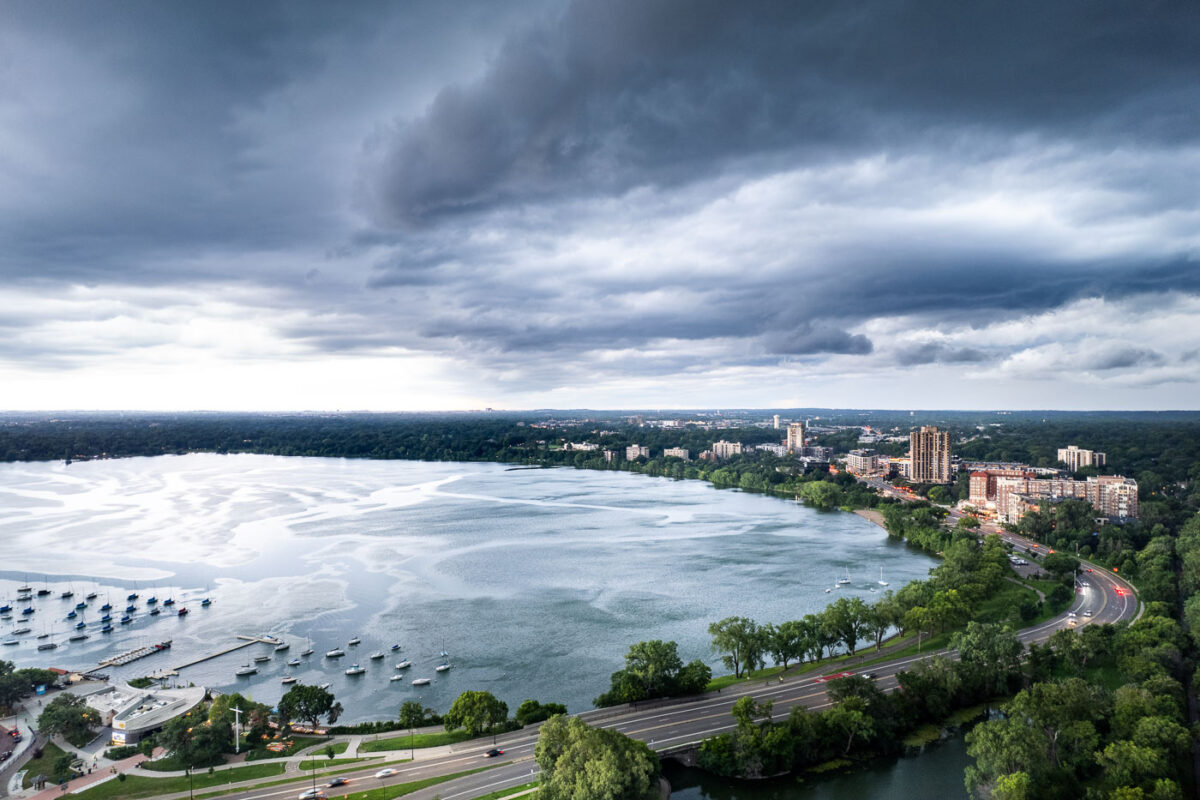
Thunderstorm clouds gather above Bde Maka Ska lake with Minneapolis skyline and moored boats visible beneath.
A thunderstorm approaches Bde Maka Ska in Minneapolis on July 27, 2025. Bde Maka Ska, meaning 'Lake White Earth' in Dakota, is the largest lake in Minneapolis and a central feature of the city's Chain of Lakes.

Thunderstorm over Bde Maka Ska, Minneapolis, July 2025
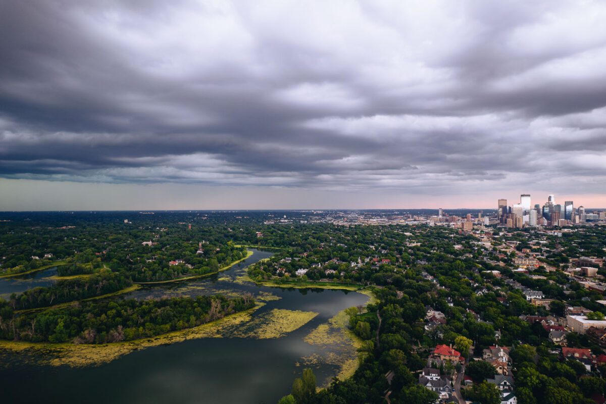
Aerial view of Lake of the Isles with downtown Minneapolis skyline under stormy clouds.
A thunderstorm builds over Lake of the Isles, one of Minneapolis's Chain of Lakes. Downtown Minneapolis visible in the background.

Storm Clouds Building Over Lake of the Isles Toward Downtown Minneapolis

People fishing from a shoreline path on Bde Maka Ska, Minneapolis's largest lake, with sailboats moored in the water.
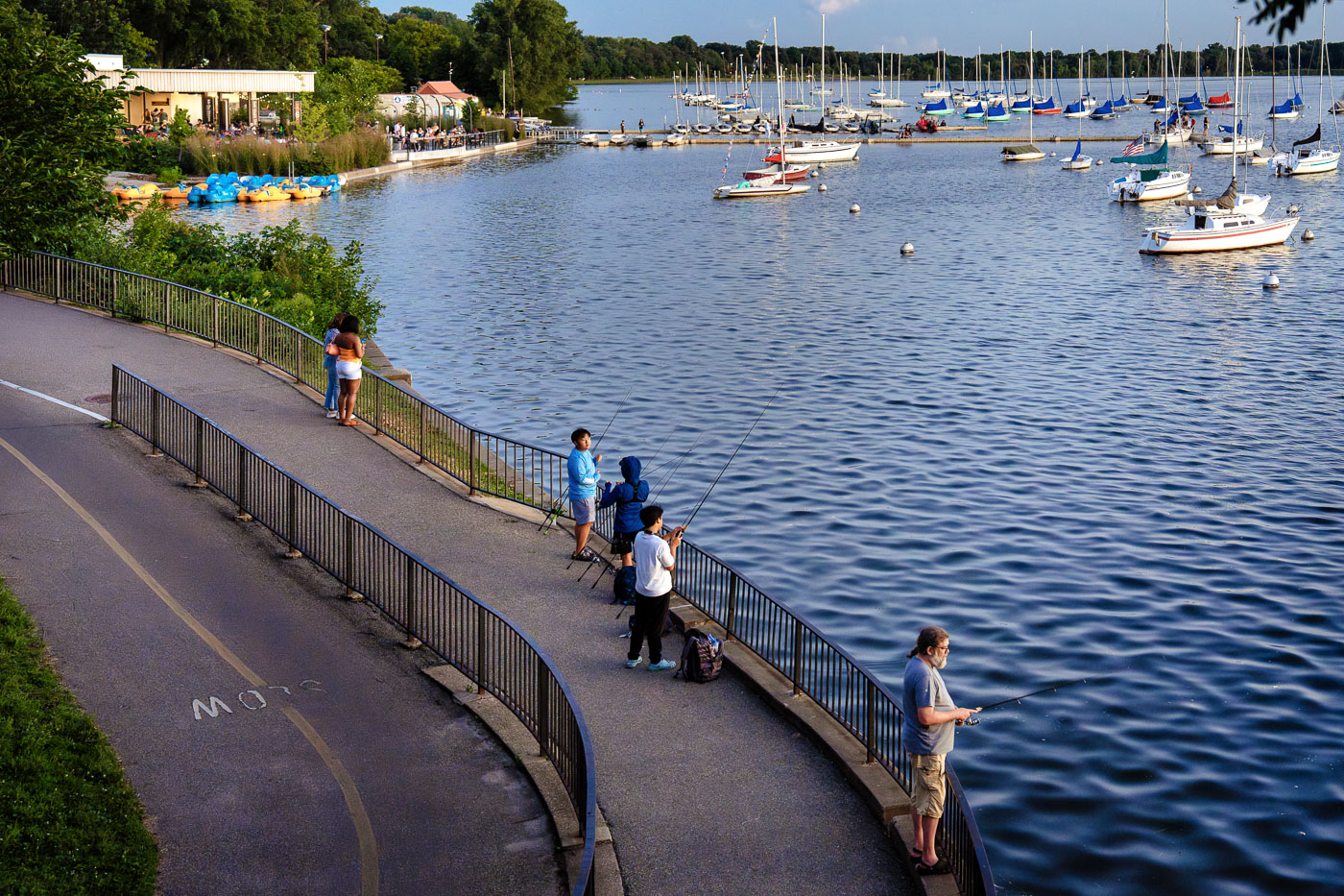
People fishing from the shoreline path on Bde Maka Ska, a lake in Minneapolis. As the largest lake in the city, Bde Maka Ska is a central component of the Chain of Lakes Regional Park system. Its name, meaning "White Earth Lake" in the Dakota language, was officially restored in 2017, reflecting its Indigenous heritage.

Fishing Along the Bde Maka Ska Shoreline Path

Pimento Jamaican Kitchen lakeside pavilion at Bde Maka Ska in Minneapolis at dusk with moored boats.
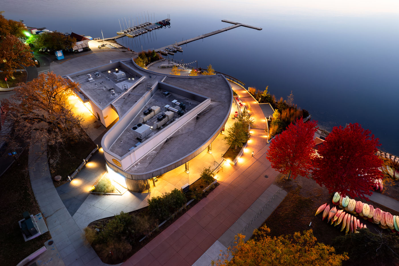
Pimento Jamaican Kitchen at Bde Maka Ska in Minneapolis occupies the lakeside pavilion near the marina. The restaurant is part of the Minneapolis park system’s lakefront amenities at one of the Chain of Lakes. Fall foliage lines the plaza and paths around the building.

Aerial View of the Bde Maka Ska Pavilion in Autumn
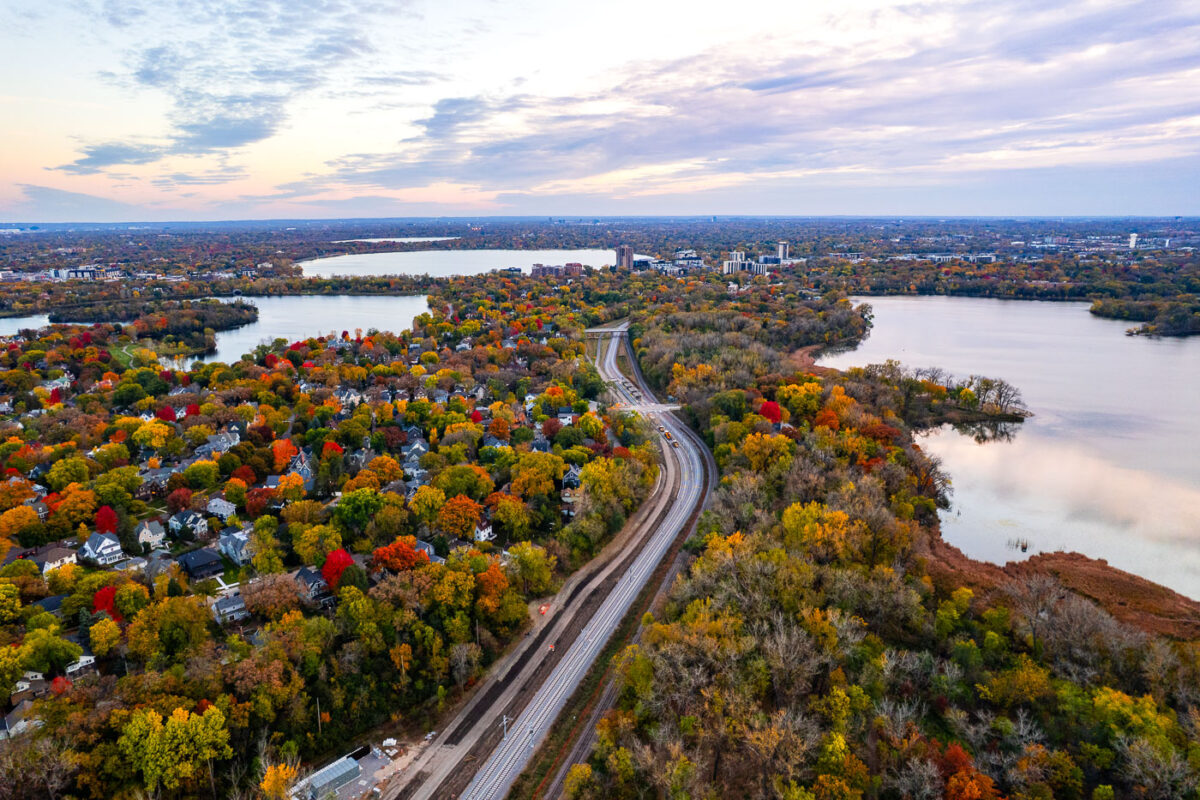
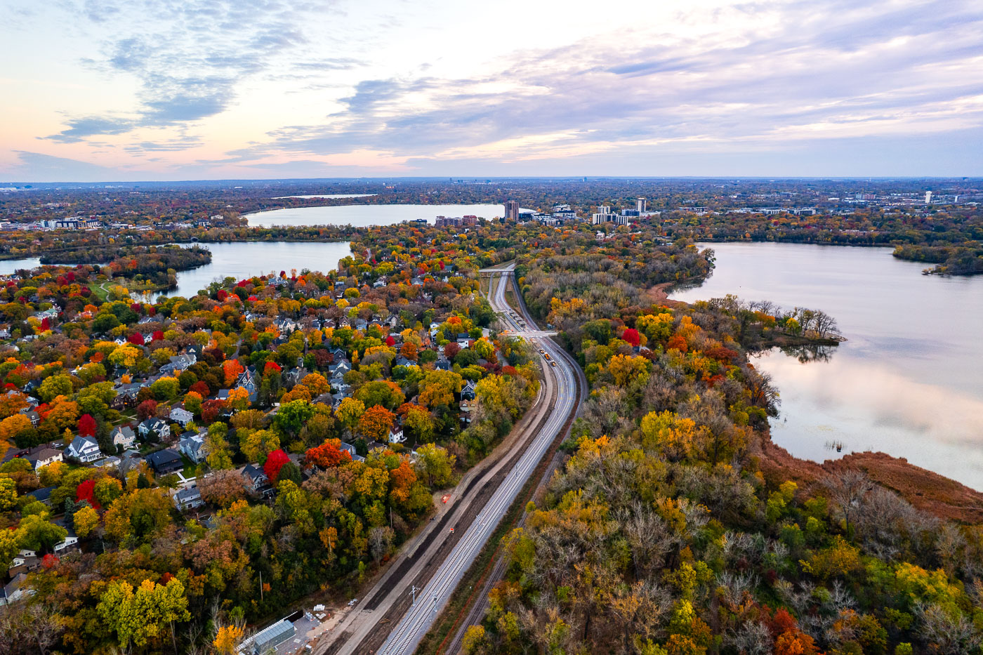
Metro Transit Southwest LRT green line extension curves through autumn forests and residential neighborhoods between Cedar Lake
The new rails of the Metro Transit Southwest LRT green line extension. Lake of the Isles, Bde Maka Ska and Cedar Lake.

Southwest LRT Line Under Construction Near Bde Maka Ska in Fall
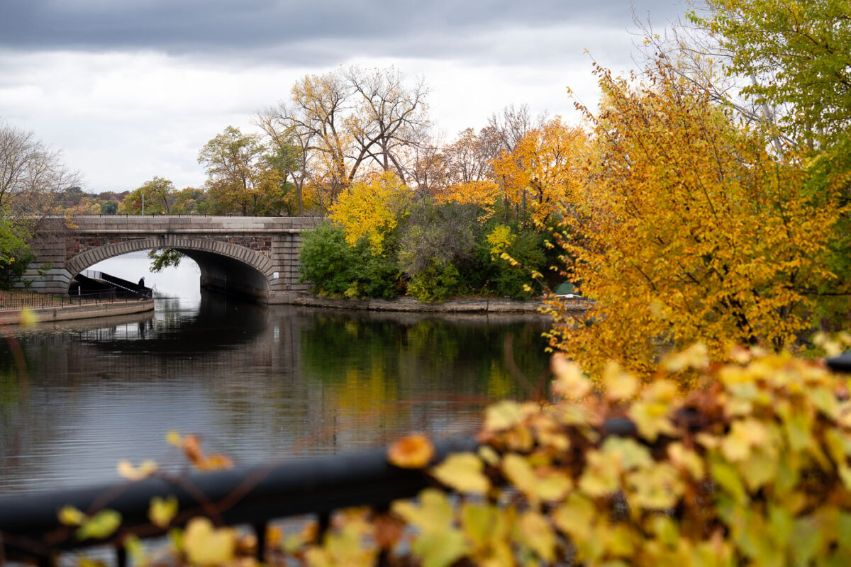
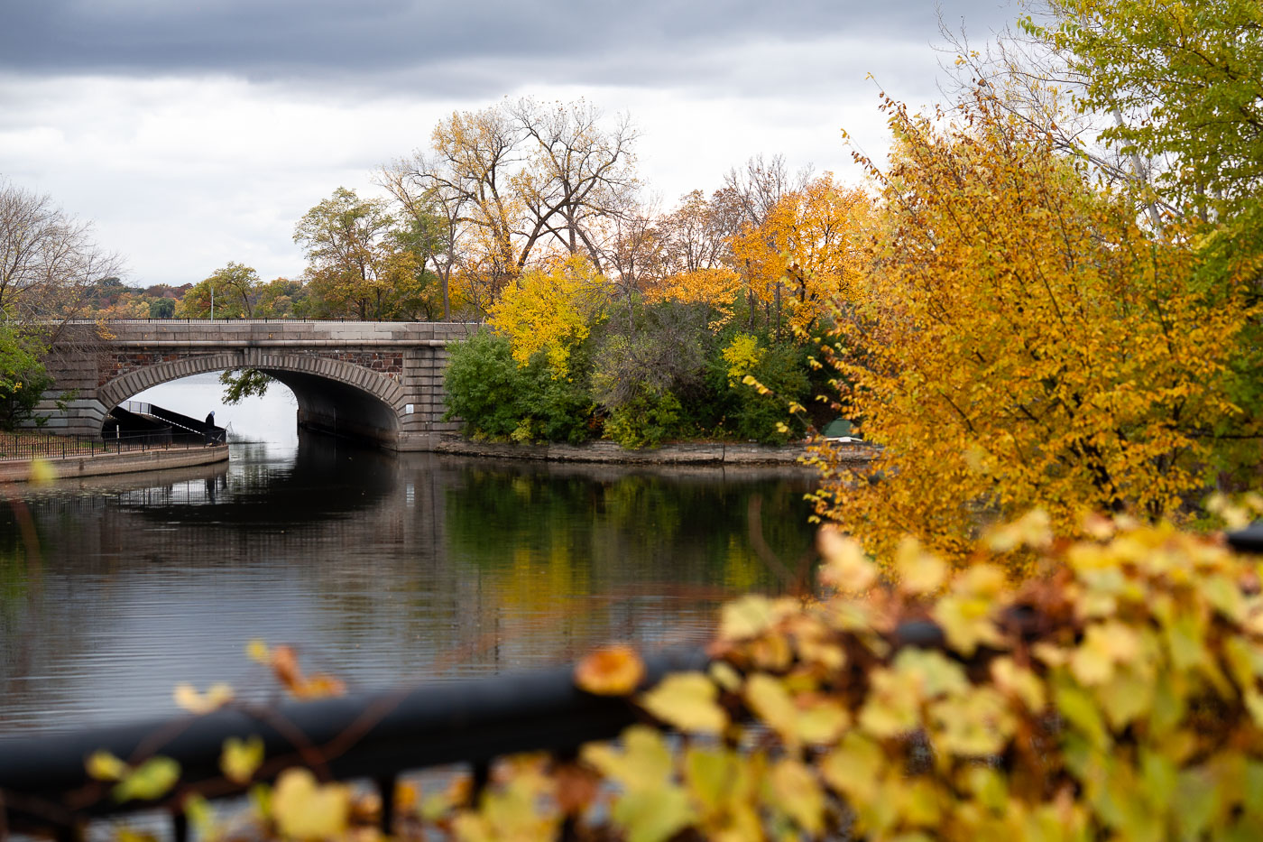
Lake Street over Bde Maka Ska Channel 2025
Lake Street bridge over the channel between Lake of the Isles and Bde Maka Ska on a fall day.

Fall Colors Along the Channel Between Lake of the Isles and Bde Maka Ska

Four runners jog on a lakeside path at Bde Maka Ska in Minneapolis during autumn.
Sunset at Bde Maka Ska in South Minneapolis in November 2025.

Autumn Evening Walk Along Bde Maka Ska

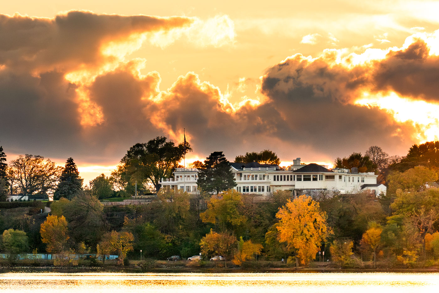
White clubhouse of Minikahda Club overlooks Bde Maka Ska lake at sunset in Minneapolis.
The Minikahda Club in Minneapolis stands above Bde Maka Ska in the Chain of Lakes area. Founded in 1898, the private club includes a golf course and clubhouse overlooking the lake. An early November sunset falls behind the club grounds.

Storm Clouds Glow Over the Minikahda Club at Sunset
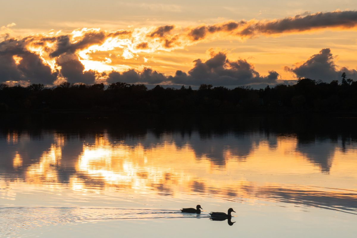
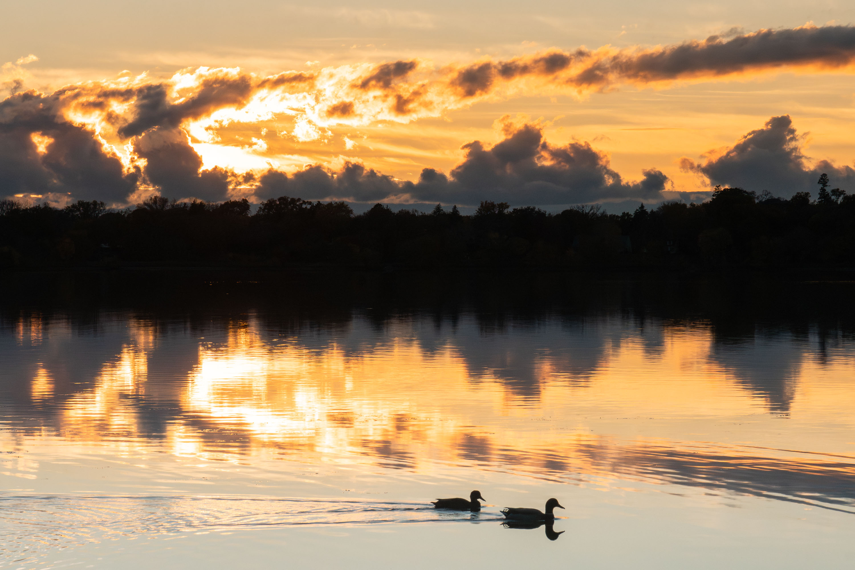
Two ducks float on Bde Maka Ska lake at sunset in Minneapolis with forested shoreline behind.
Ducks floating by on Bde Maka Ska in Minneapolis during a cloudy sunset.

Ducks at Sunset on Bde Maka Ska

Visible Northern Lights in Minneapolis Metro
Northern lights visible over a walking path in South Minneapolis. Seen around Bde Maka Ska.

Aurora Borealis Over a Walking Path at Bde Maka Ska

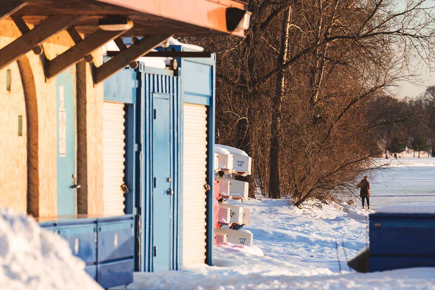
Frozen Bde Maka Ska Dog Walk
Boat storage racks and a lakeside building stand along the snowy shore of Bde Maka Ska in South Minneapolis, as a woman walks her dog on the frozen lake in the distance.

Boat Storage Racks Along the Shore of Bde Maka Ska

A jogger runs along Bde Maka Ska in Minneapolis at sunset, with stacked rowing shells in the foreground.
A jogger runs along the shore of Bde Maka Ska in Minneapolis as the sun sets, casting a warm glow over the stacked rowing shells. Bde Maka Ska, one of Minneapolis's Chain of Lakes, is a popular destination for recreation and is home to several rowing clubs. The boats are stored on racks during the winter months, awaiting the warmer weather when the lake is free of ice. The presence of the boats signifies the cyclical nature of the seasons and the enduring appeal of the lake for athletic pursuits.

Winter Sunset Jog Past Stacked Canoes at Bde Maka Ska

Uptown Transit Station sign beside Cali Cannabis in Minneapolis at night.
A sign for the Uptown Transit Station is visible next to a neon sign for Cali Cannabis in Minneapolis. The presence of both a transit station and a cannabis dispensary highlights the mixed-use nature of the Uptown neighborhood in Minneapolis.

Transit Sign and Cali Cannabis Glow on Hennepin Avenue at Night
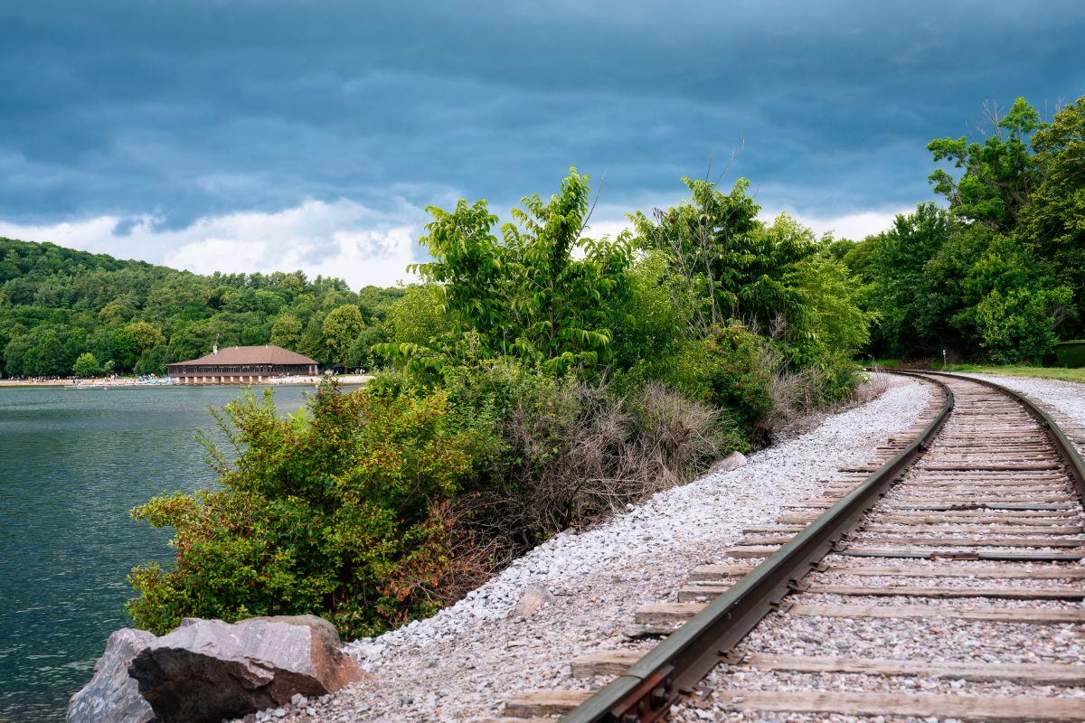
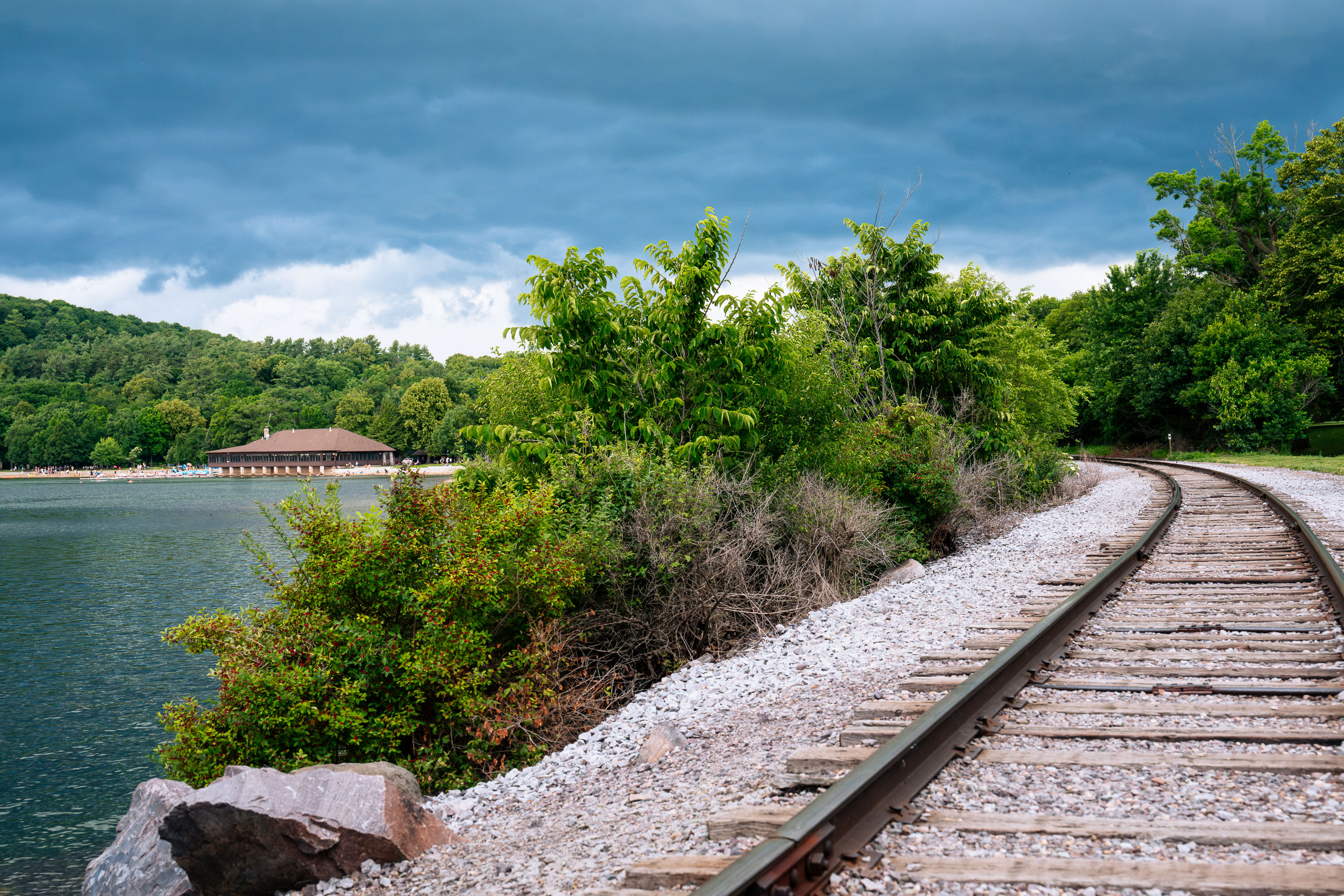
Railroad tracks at Devil's Lake State Park in Wisconsin
The railroad tracks around Devil's Lake at Devil's Lake State Park. The Chateau pictured on the north shore of the lake was built in 1925.

Tracks Along the Shoreline at Devil’s Lake State Park
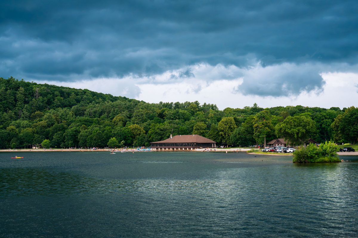
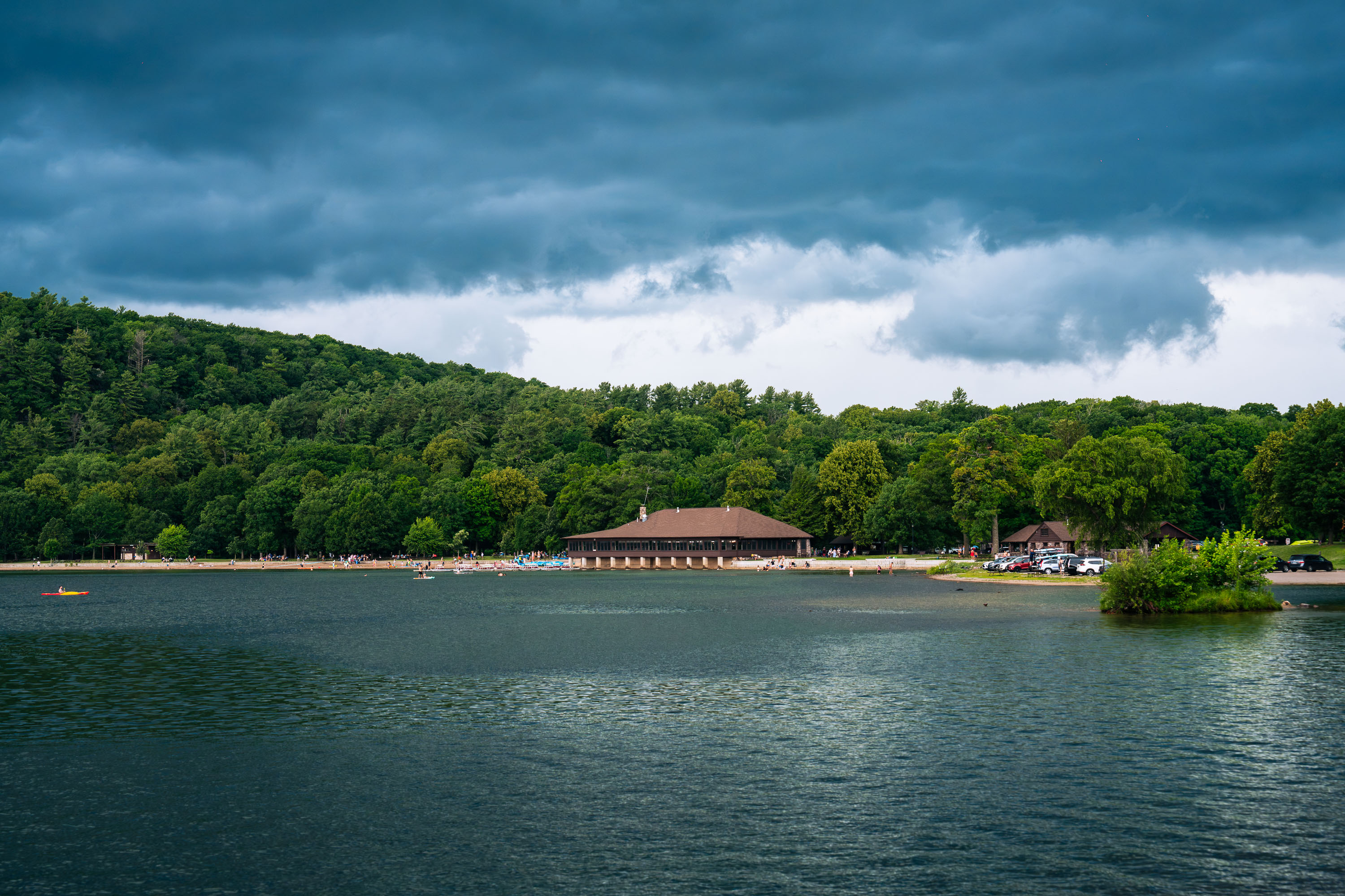
Devil's Lake at Devil's Lake State Park
Devil's Lake at Devil's Lake State Park as a thunderstorm rolls in. The pictured Chateau on the North Shore of the lake was built in 1925.

Storm Clouds Over the Chateau at Devil’s Lake State Park

Kayakers and paddleboarders paddle through a tree-lined channel connecting Cedar Lake and Lake of the Isles in Minneapolis.
The Kenilworth Channel joins Cedar Lake to Lake of the Isles, part of the Chain of Lakes in Minneapolis. Dug in 1913, it lets paddlers pass between the two lakes beneath a stone footbridge. Kayakers and paddleboarders move through the channel's lily pads toward the bridge.

Kayaks and Paddleboards Fill the Cedar Lake Channel
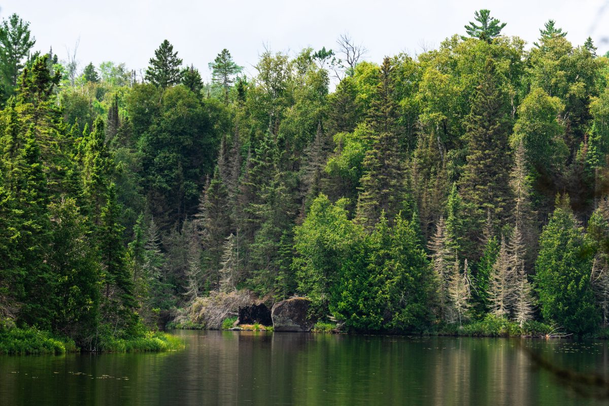
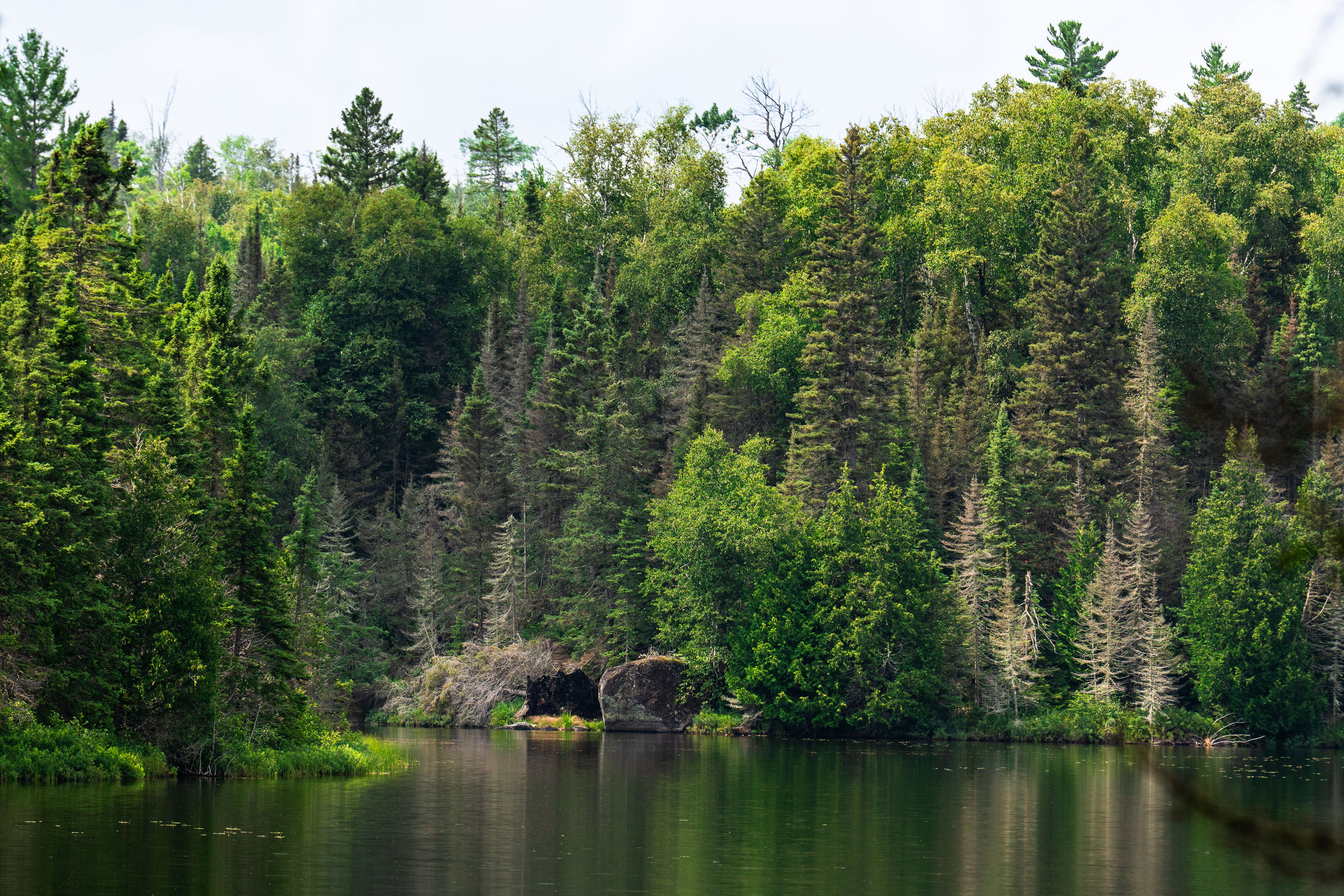
Homestead Lake, Superior National Forest, Minnesota
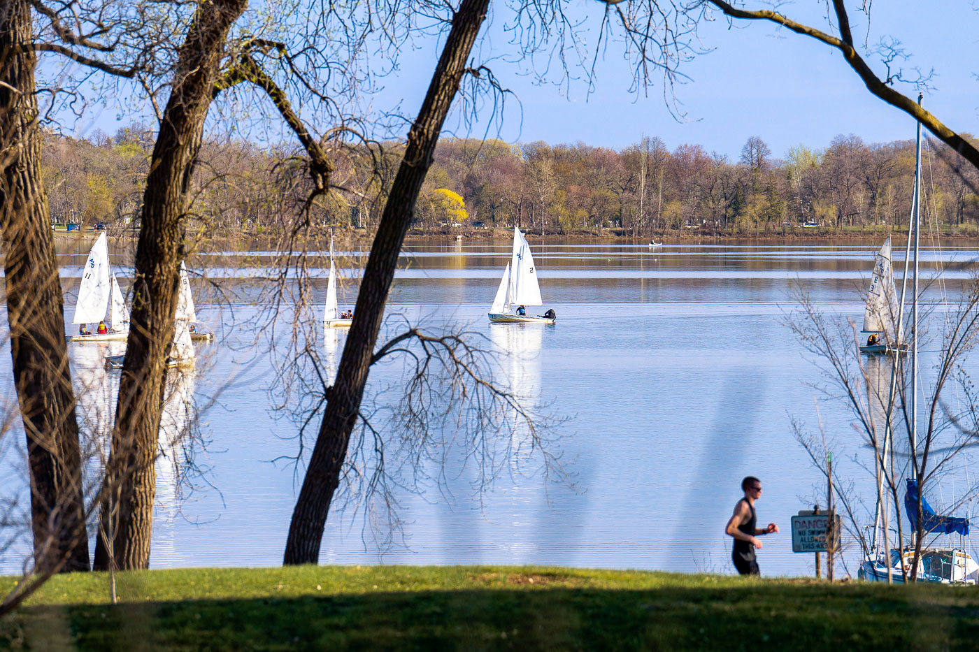
Homestead Lake in the Superior National Forest. As seen in July 2026.

Homestead Lake, Superior National Forest, Minnesota
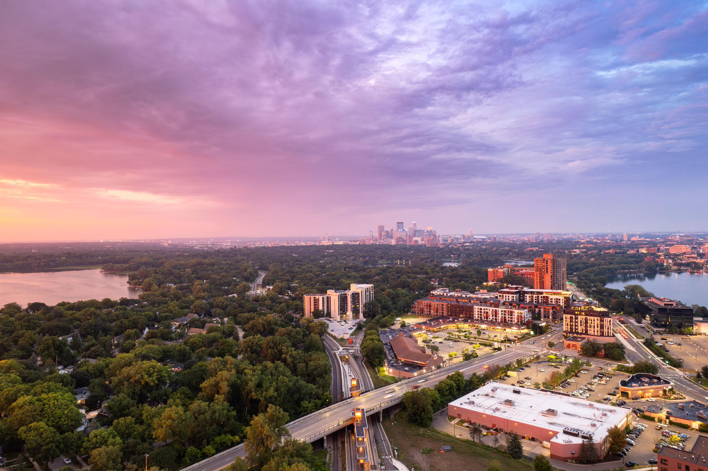
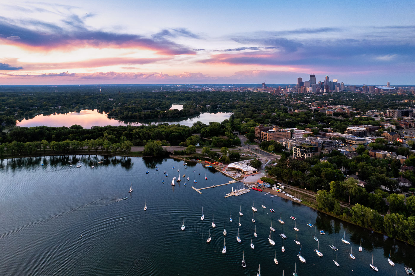
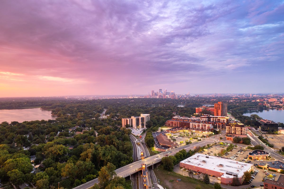
Aerial view of Minneapolis downtown skyline at twilight with West Lake Street light rail station, Cedar Lake, and Bde Maka Ska visible.
Cedar Lake and Bde Maka Ska sit west of downtown Minneapolis, two of the city's Chain of Lakes connected by the Midtown Greenway and nearby bike paths. The METRO Green Line's West Lake Street station, built along the Kenilworth corridor, opened in 2023 to link this area to downtown and the University of Minnesota.

Downtown Minneapolis Skyline Beyond Cedar Lake and Bde Maka Ska

Built in Minneapolis

Minneapolis Photographer

Browse by location, move through long-running series, or start with recent work.