Photo Set
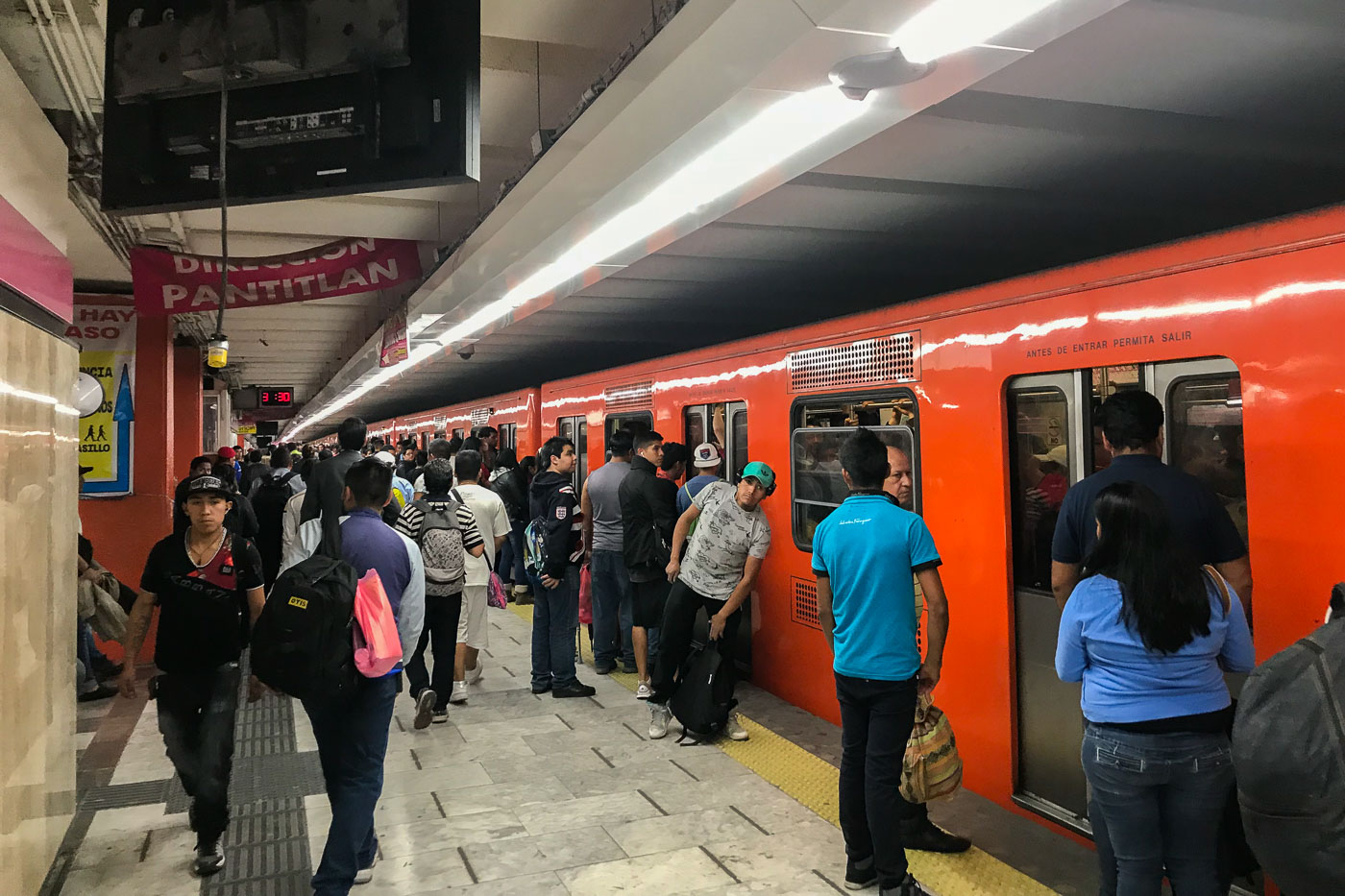
Mexico City Trains
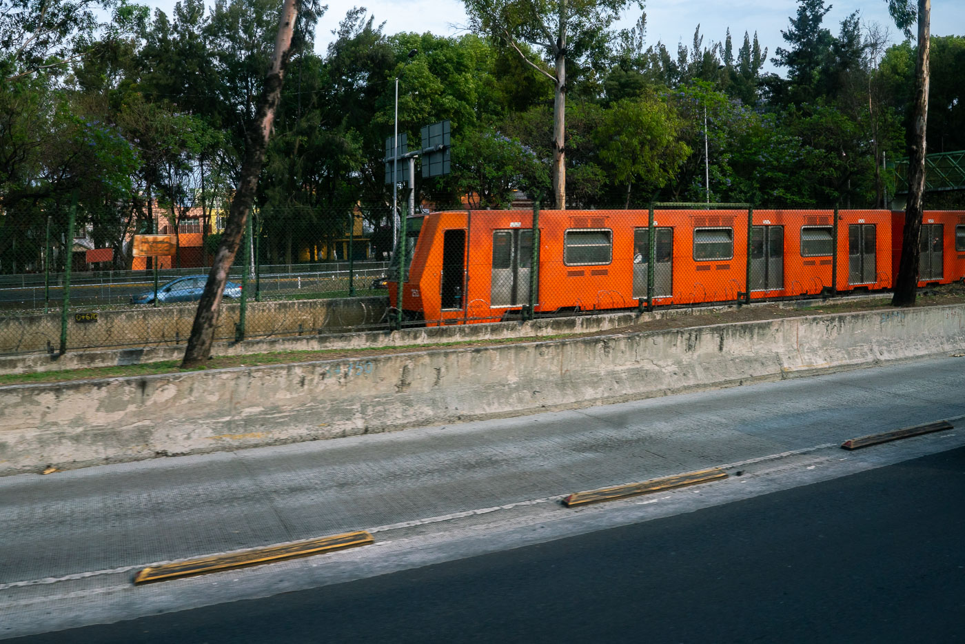
Photographs of Mexico City Metro operations, stations and Line 1 rolling stock
Place Archive
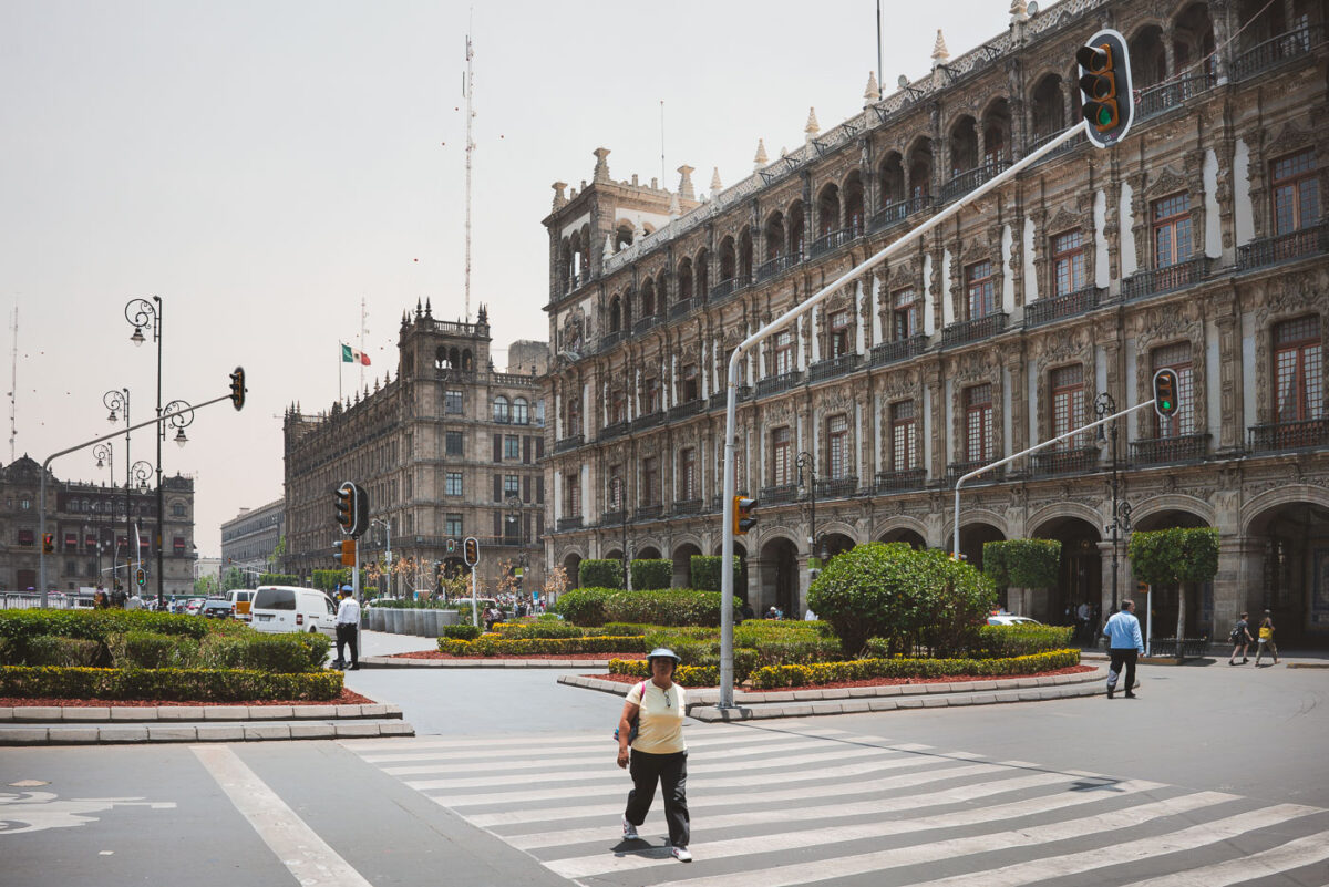
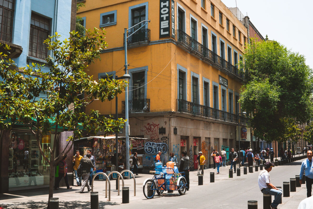
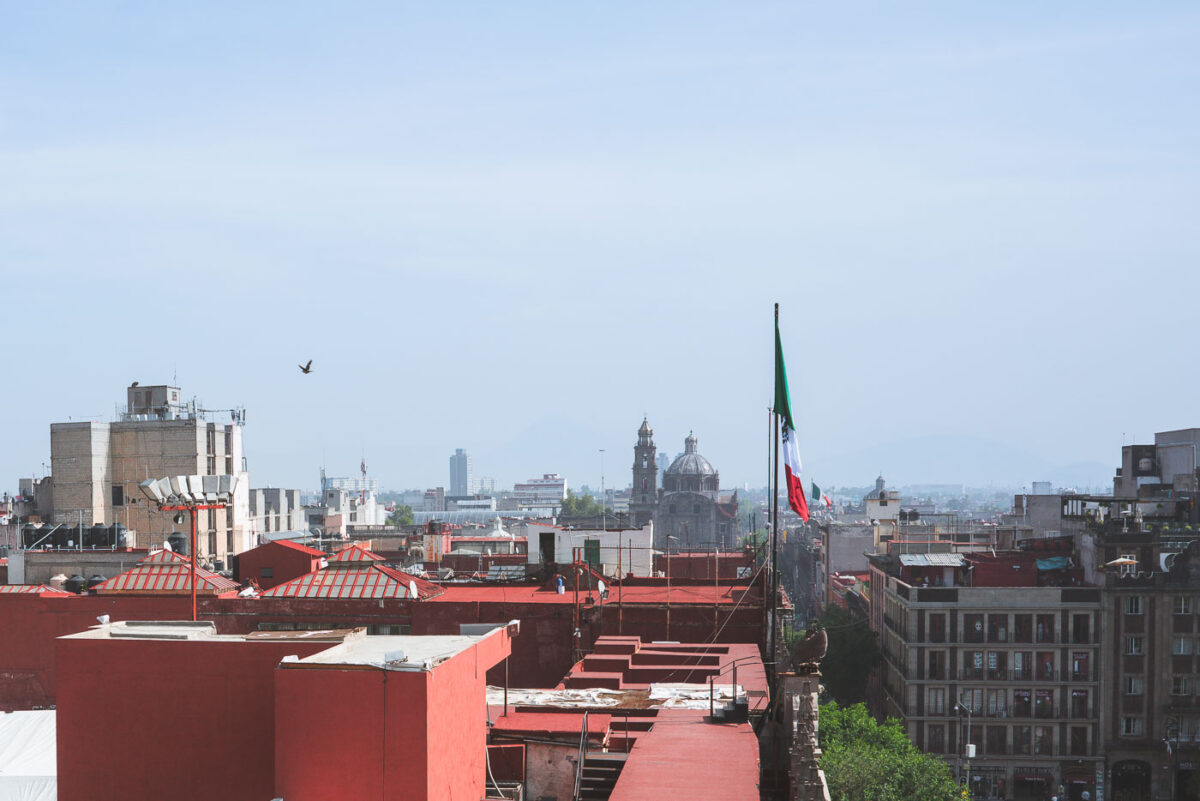
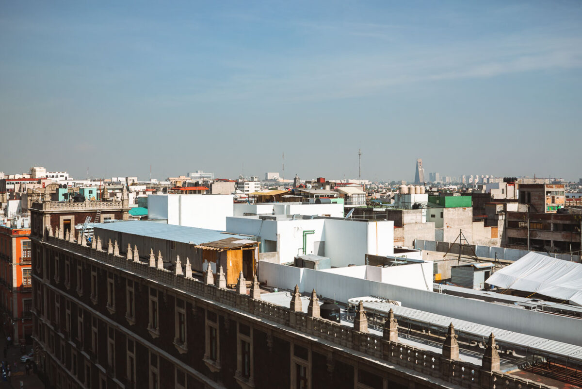
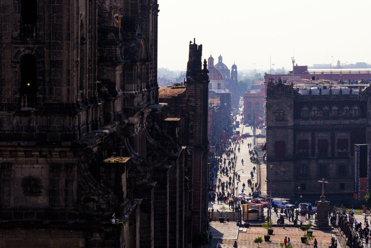
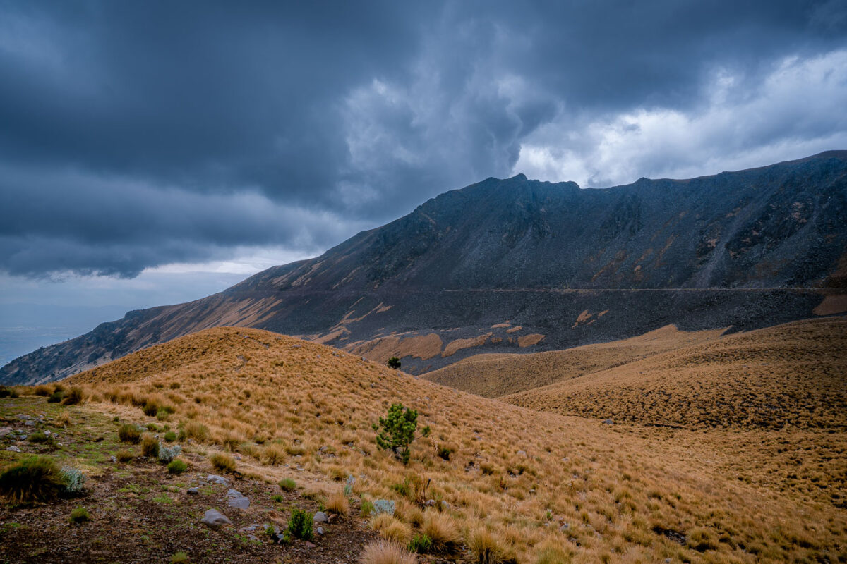
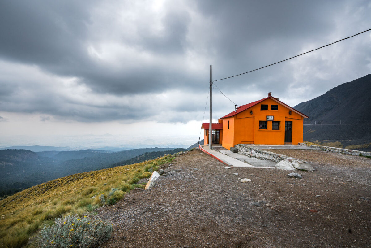
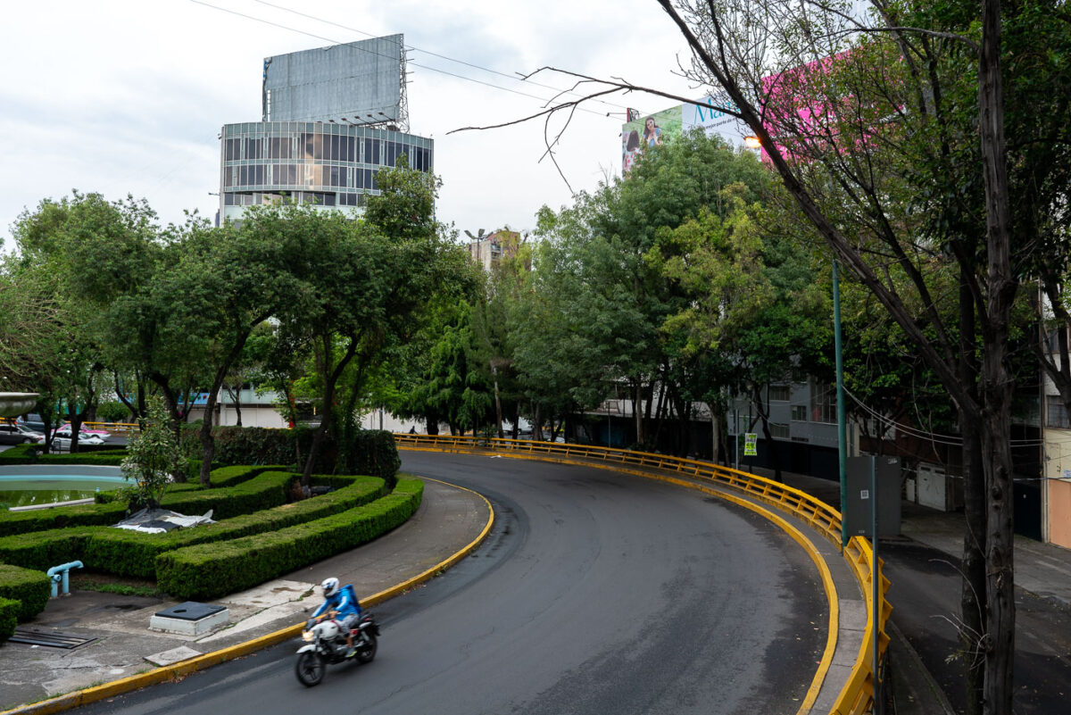
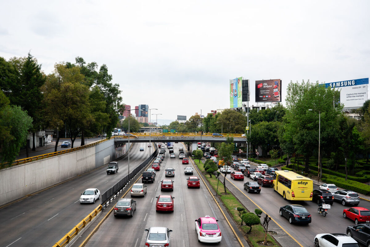
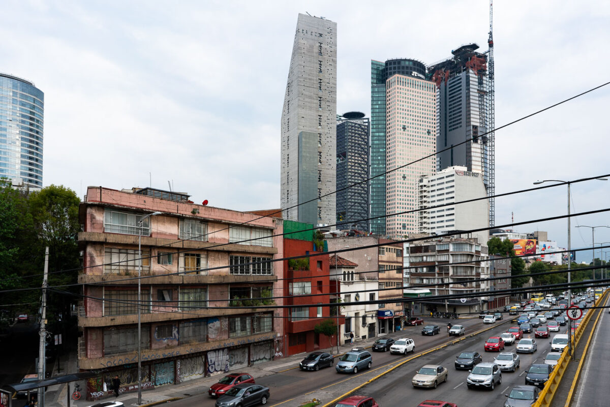
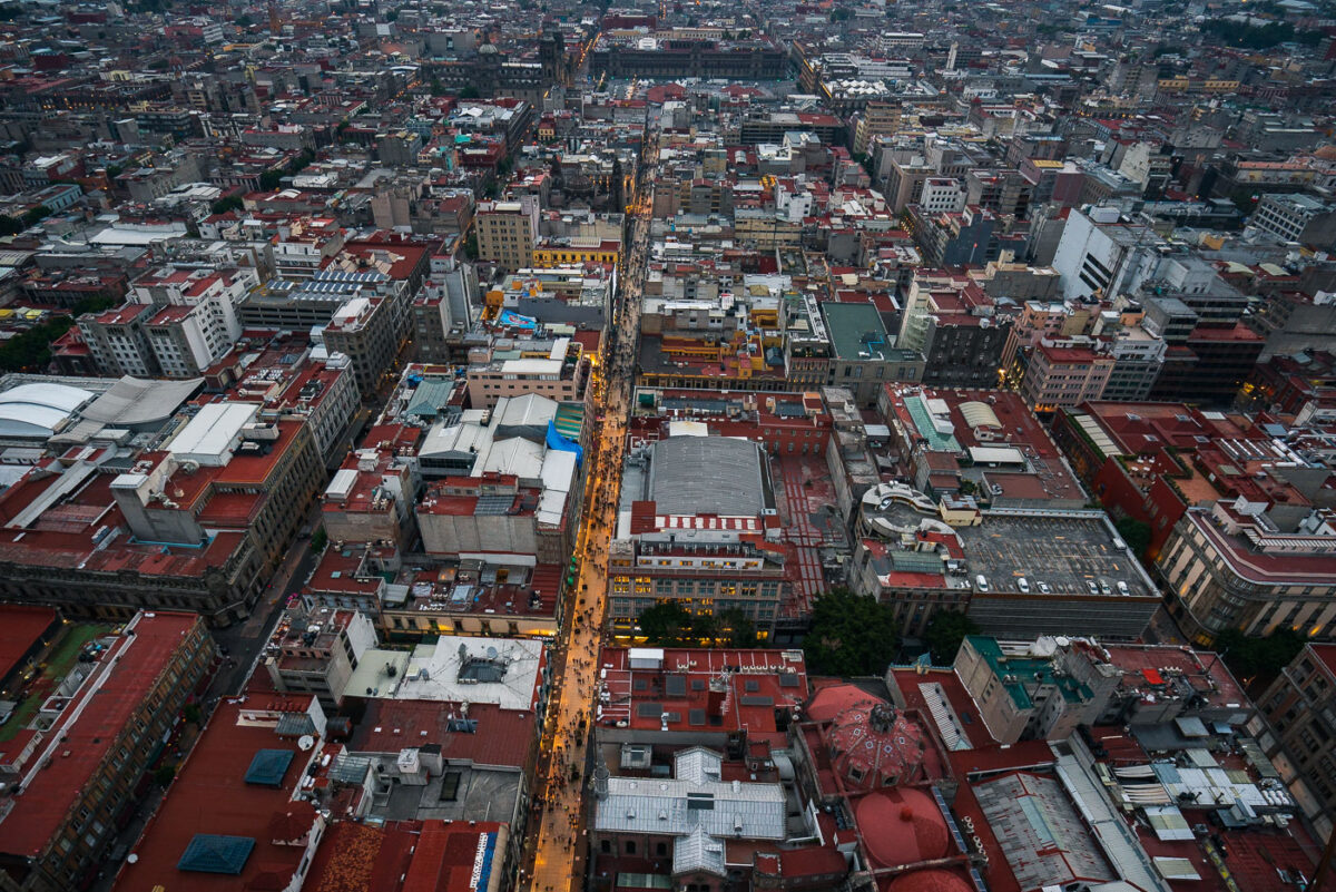
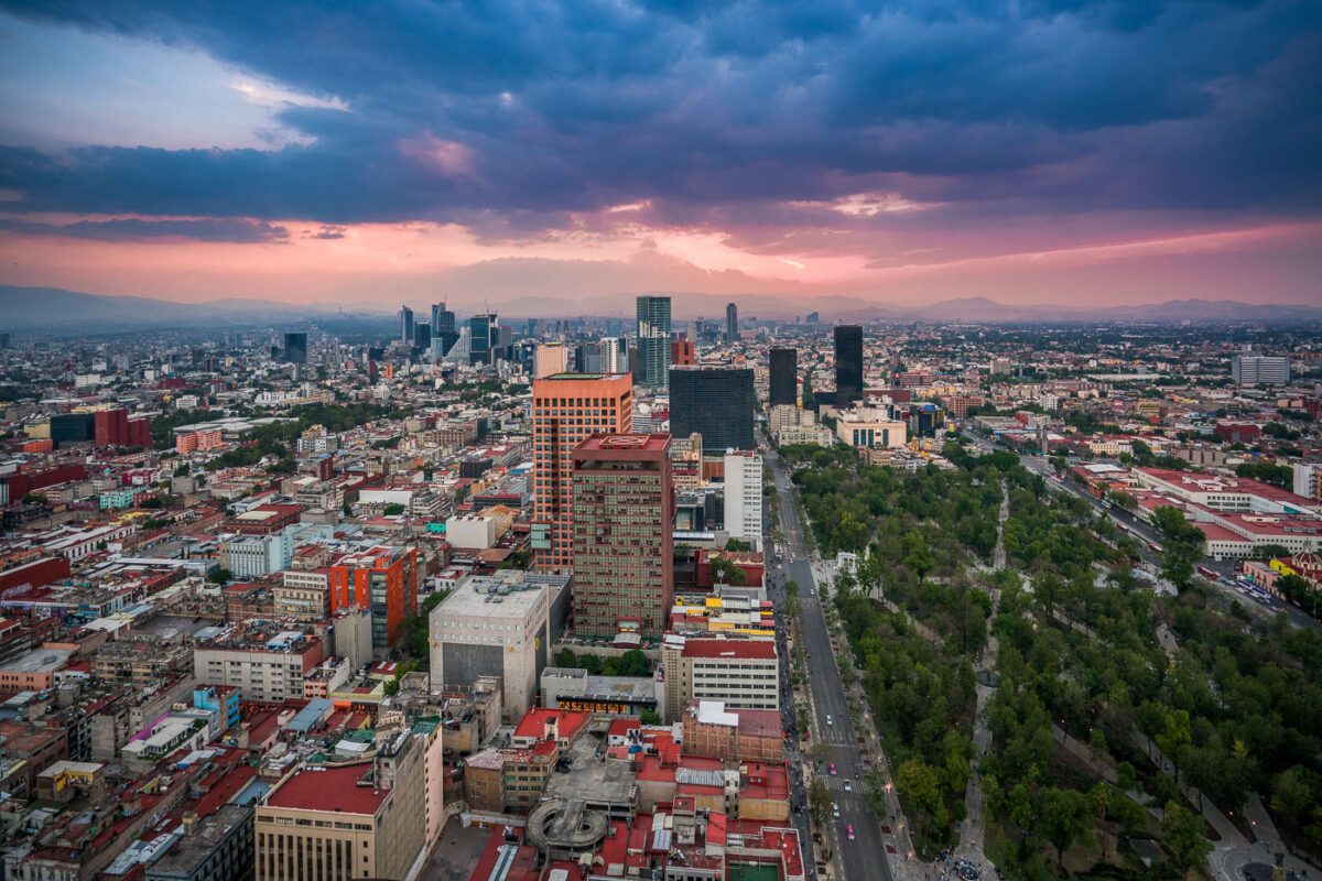
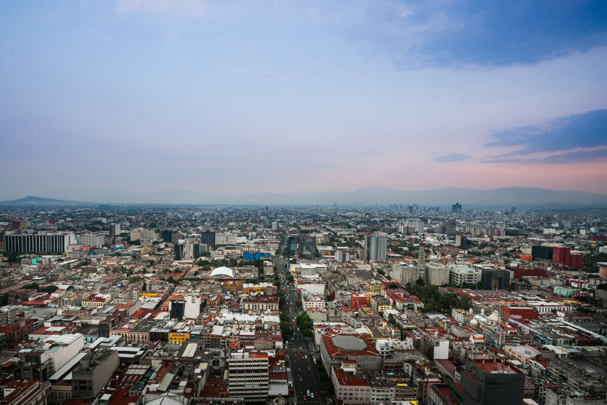
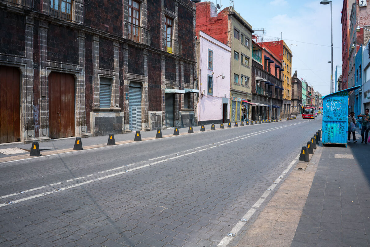
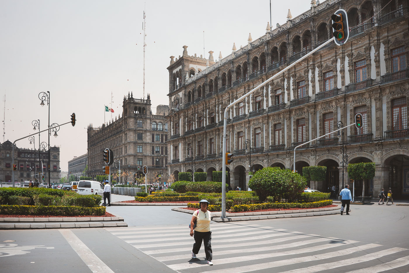
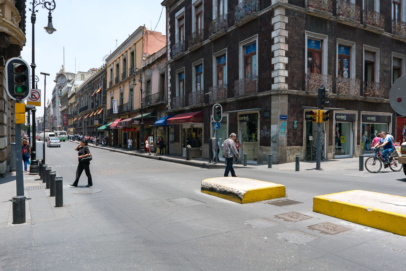
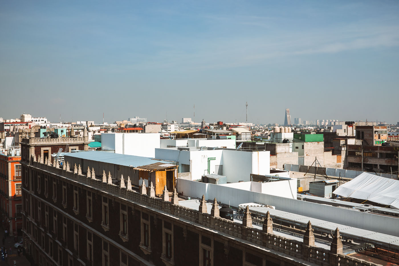
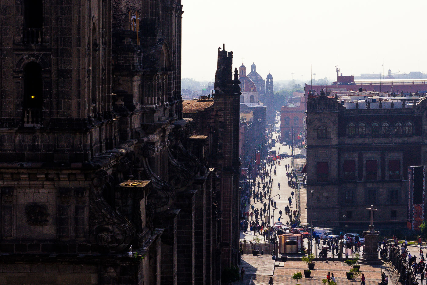
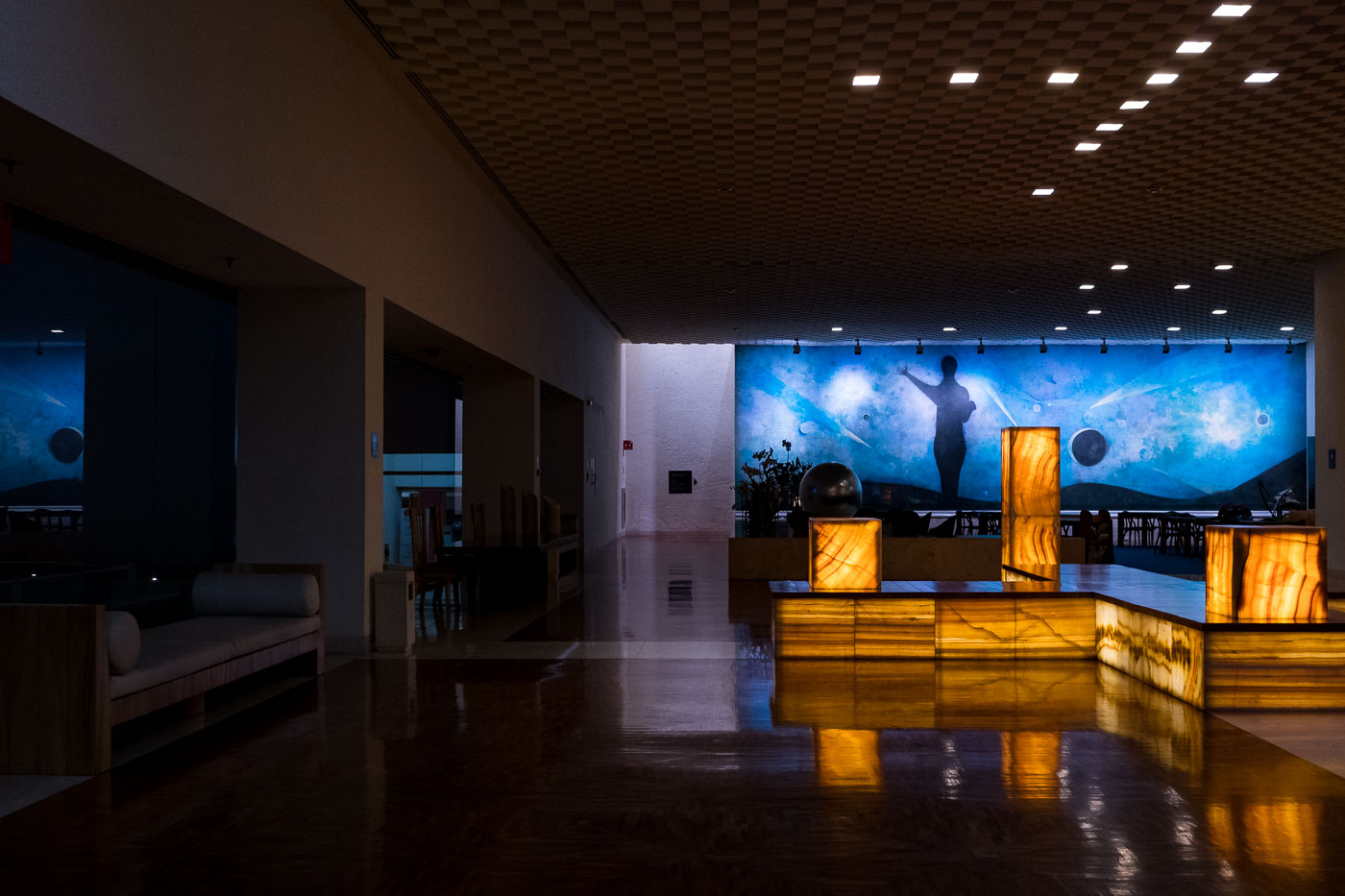
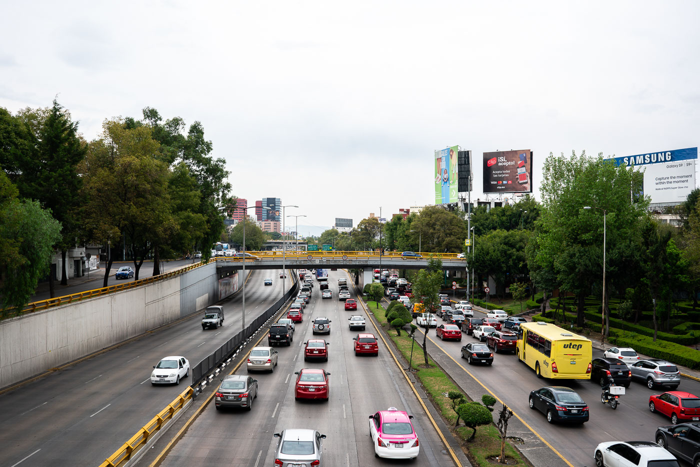
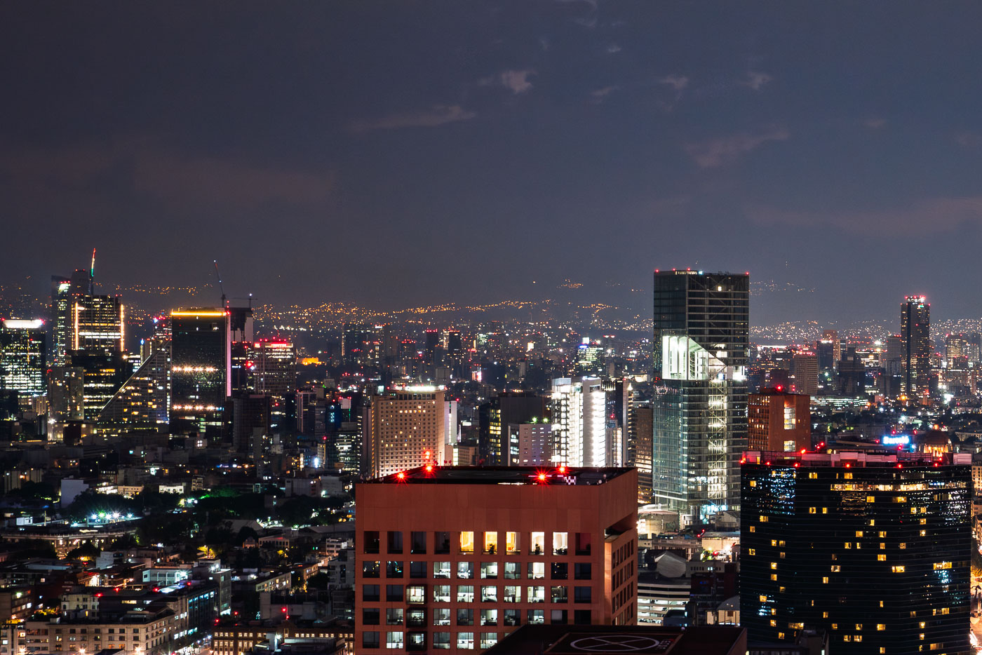
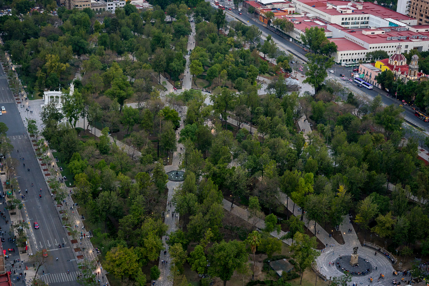
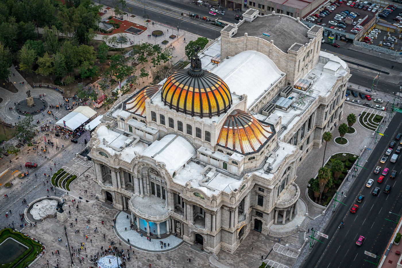
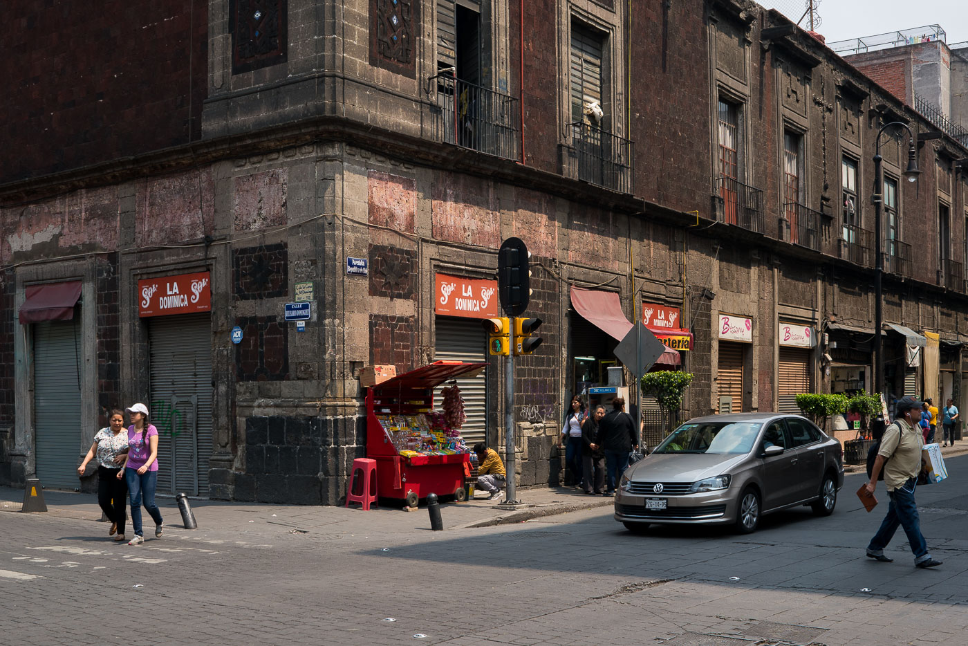
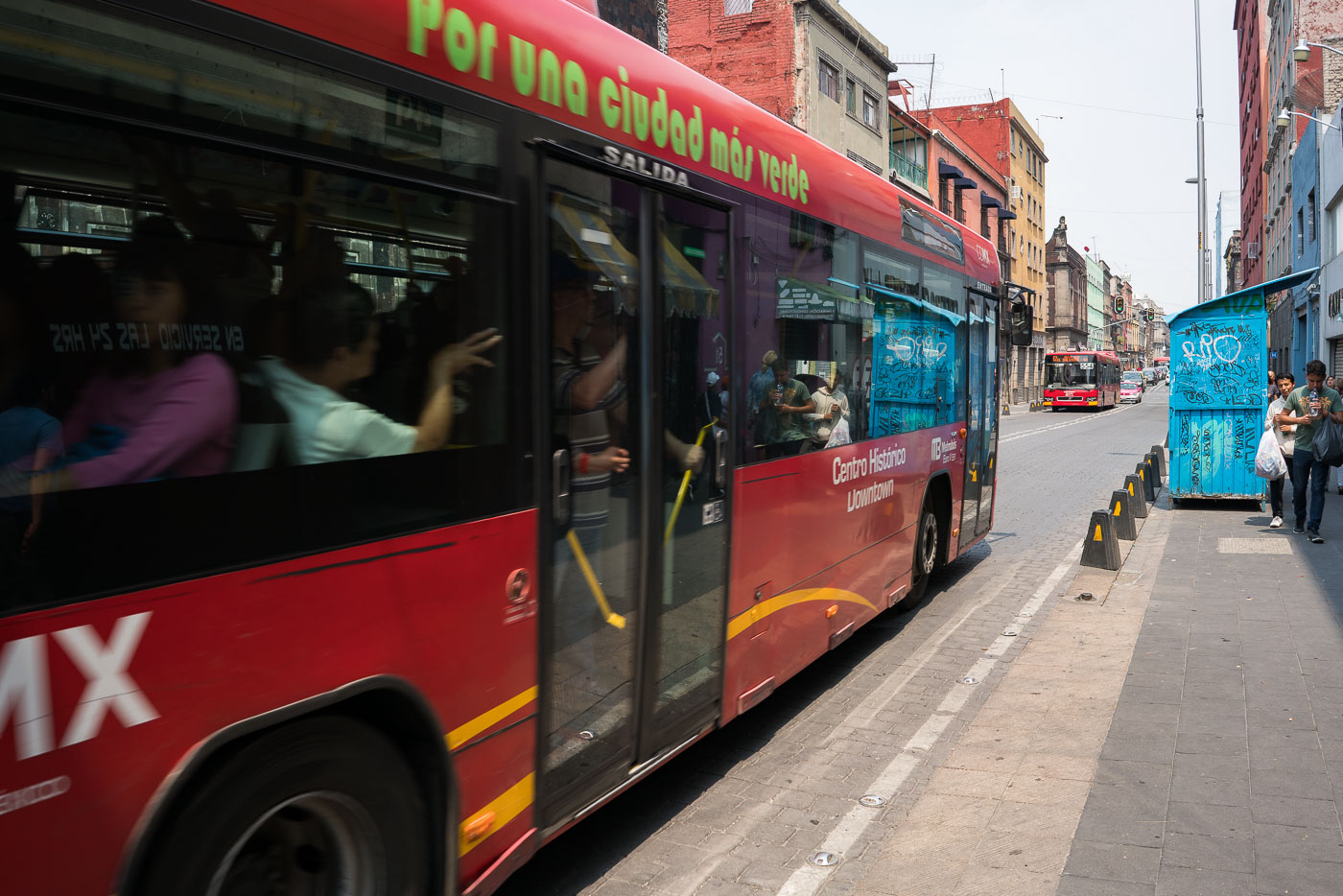
This set documents Mexico City's Centro Histórico, major boulevards such as Paseo de la Reforma, and components of urban mobility including the Metro, Metrobus and Ecobici bike-share. Images show civic landmarks—Palacio de Bellas Artes, Alameda Central and the Zócalo—alongside street-level activity including vendors, taxis and cyclists. Architectural photographs range from colonial façades and restored hotels to mid-century and contemporary office towers. The collection also includes landscape views of Nevado de Toluca, illustrating the metropolitan area's proximity to volcanic peaks.
Photo Sets
Map
Markers
29 geotagged photos
Photos


