Lake Street Station with Canadian Wildfire Smoke
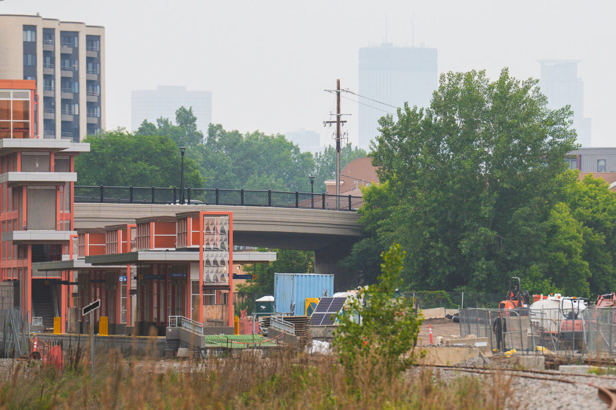
June 2025 — Canadian wildfire smoke making downtown skyline barely visible from the Lake Street Station.
Explore photos tagged Wildfire.
June 2025 — Canadian wildfire smoke making downtown skyline barely visible from the Lake Street Station.
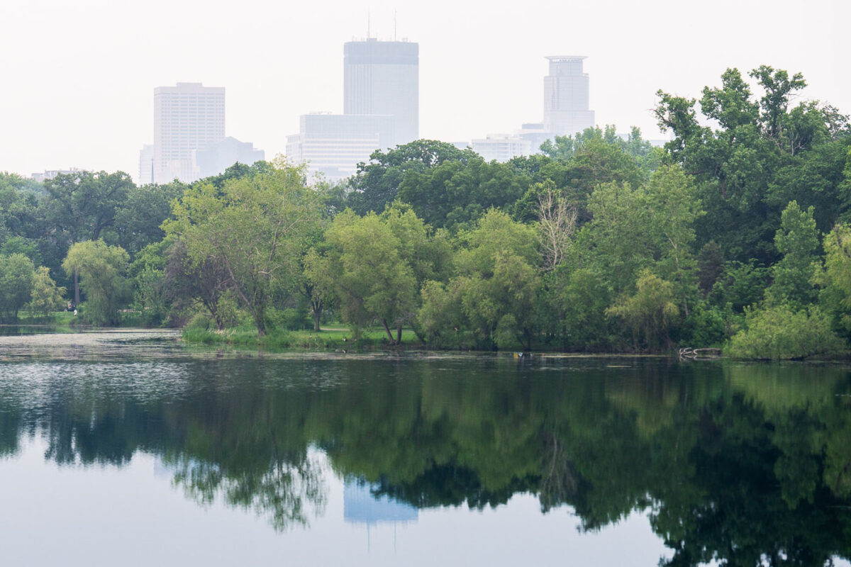
June 2025 — Wildfire smoke impacting the air around Lake of the Isles in Minneapolis.
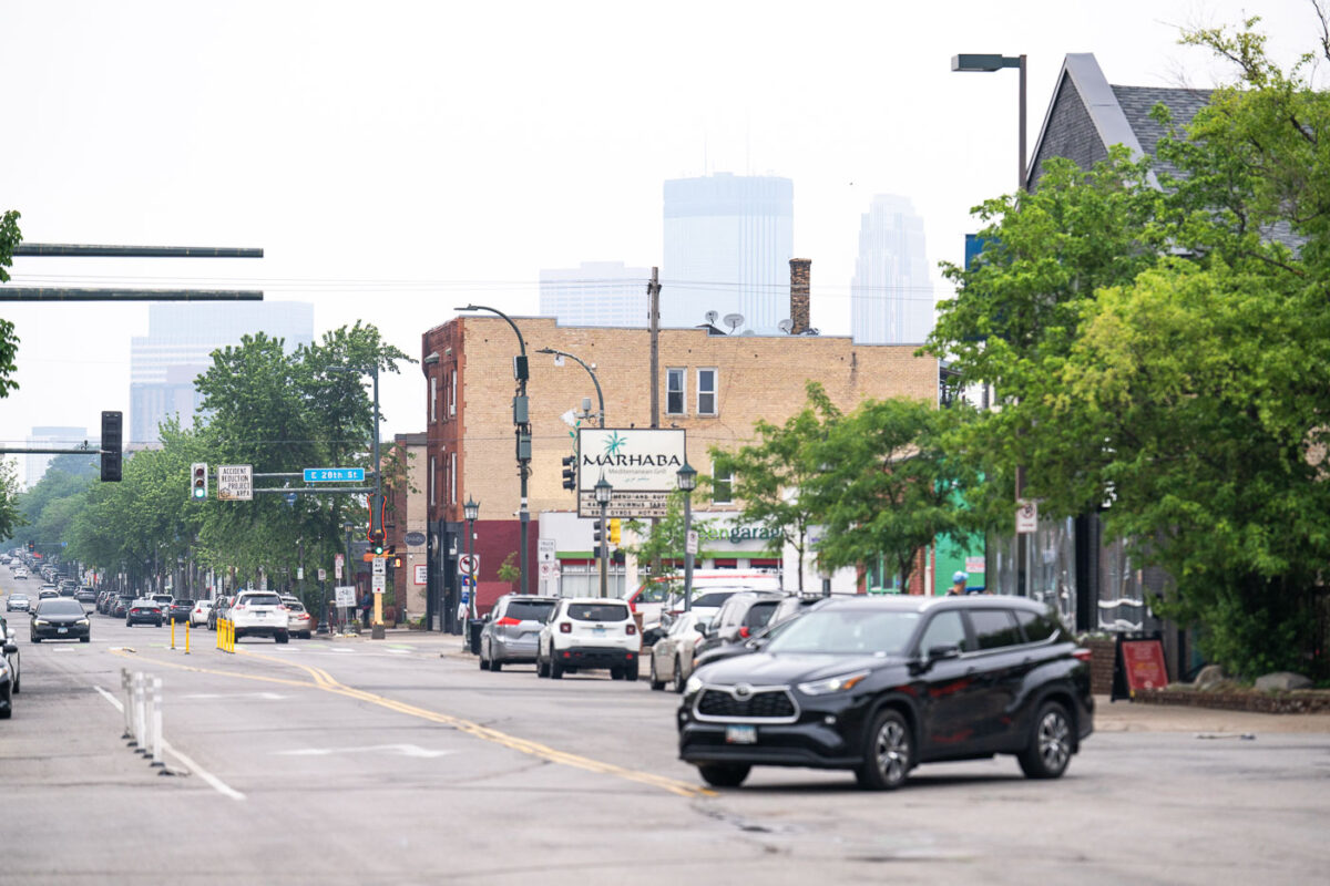
June 2025 — Looking down Nicollet Avenue with Canadian wildfire smoke impacting the Minneapolis air.
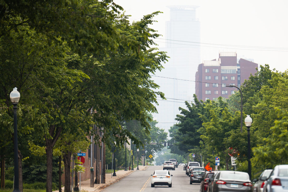
June 2025 — Smokey wildfire air hiding the Capella Tower in Downtown Minneapolis. As seen from the Midtown Greenway.
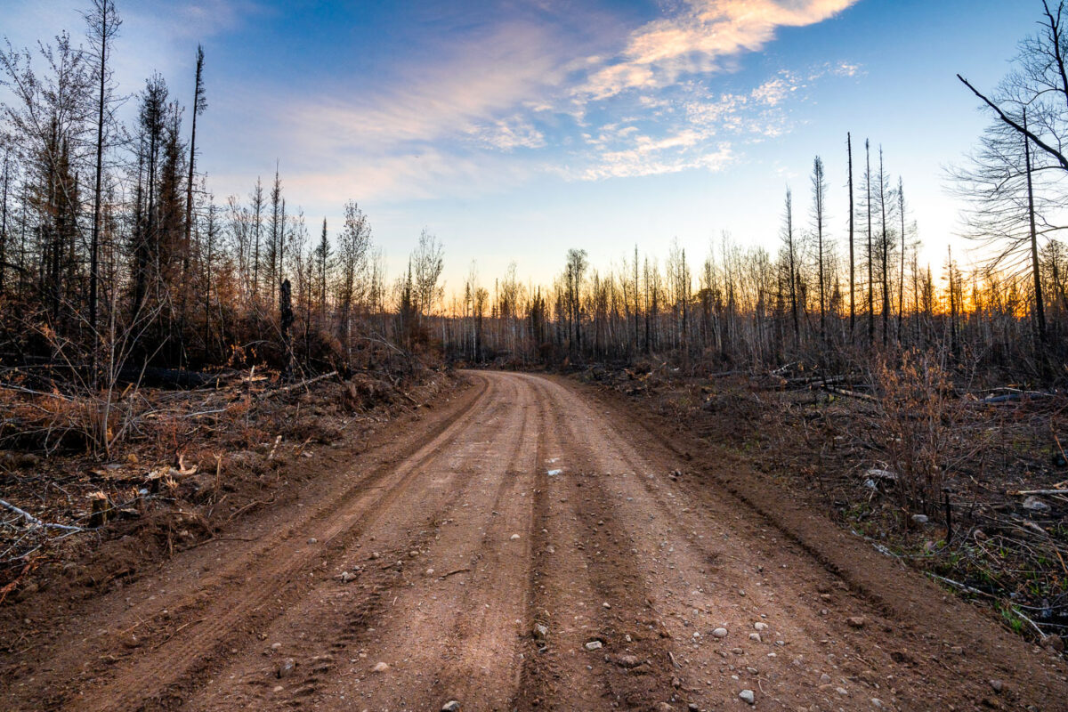
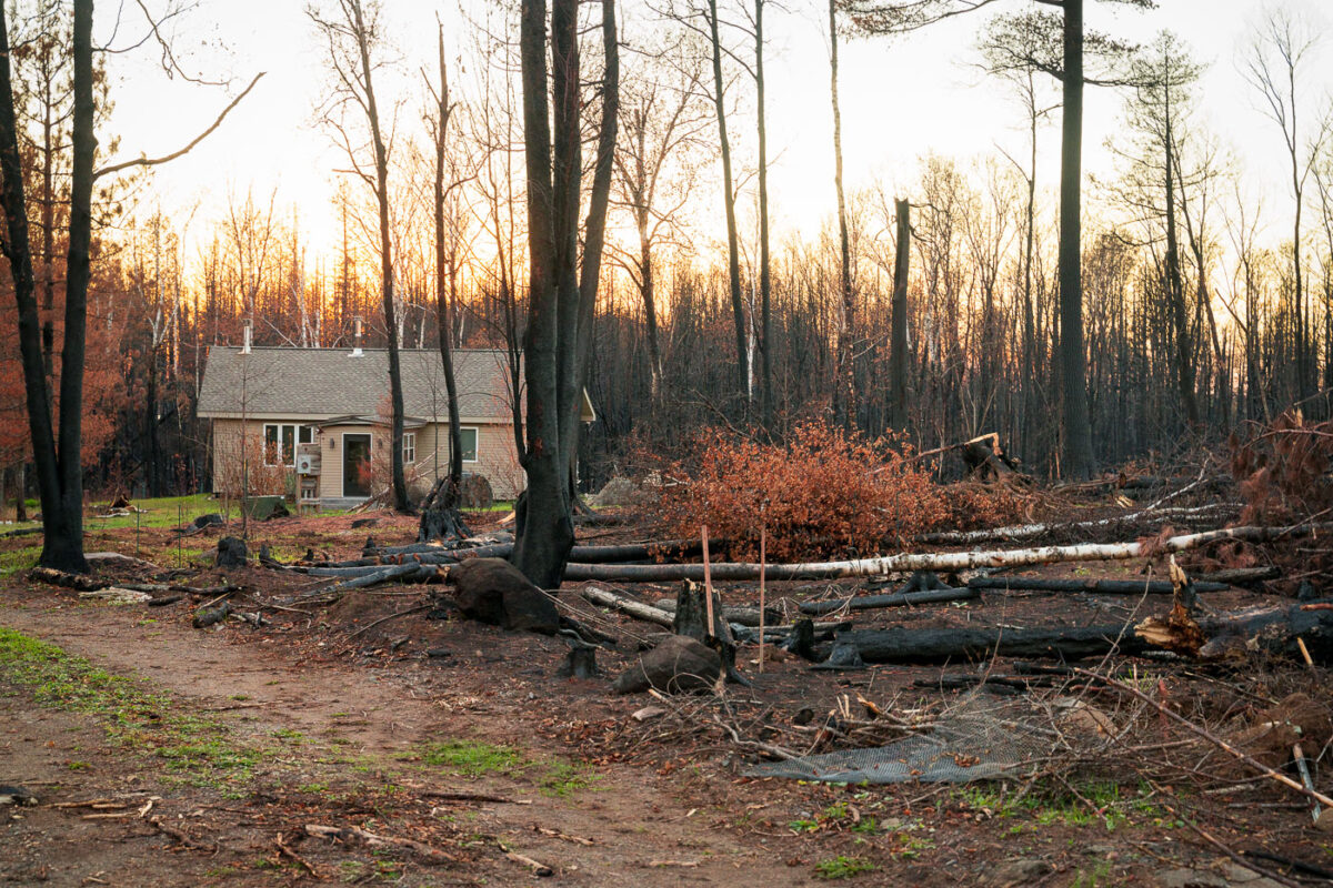
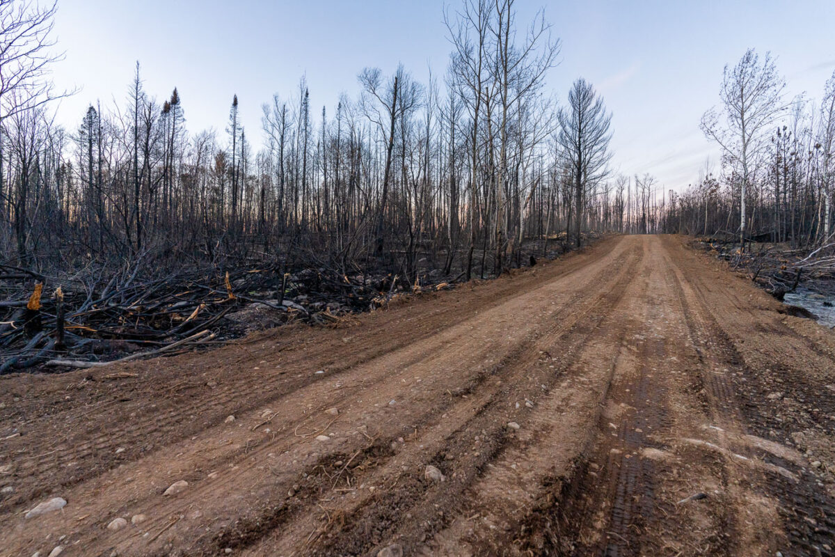
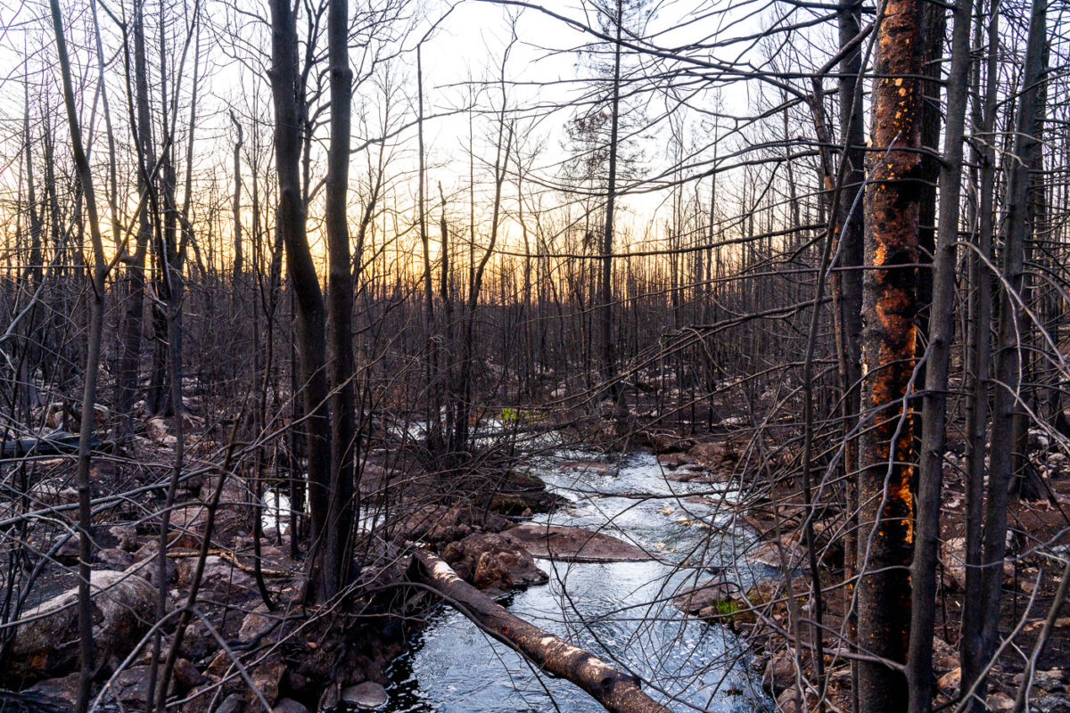
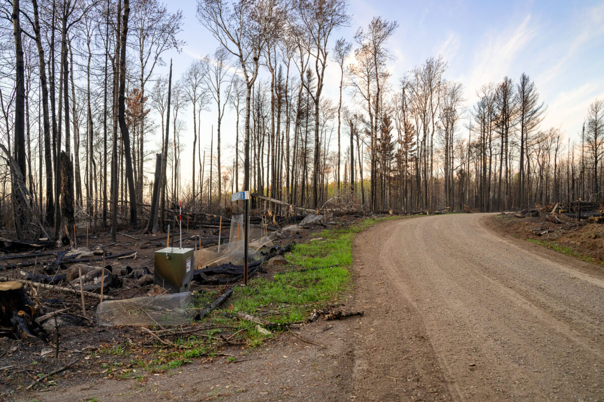
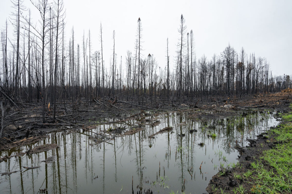
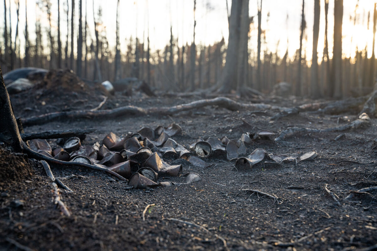
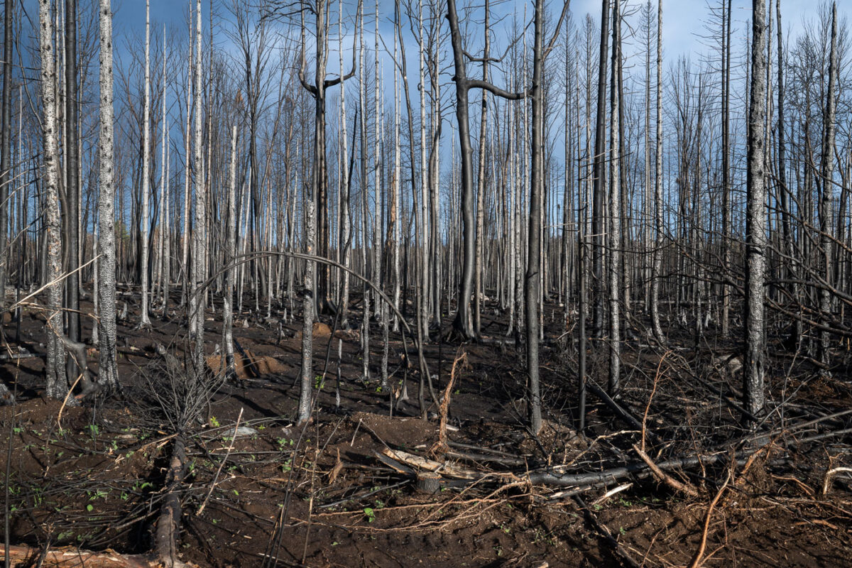
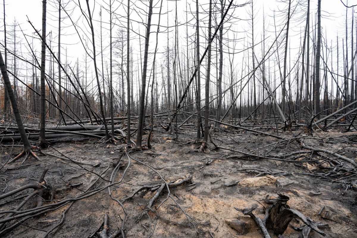
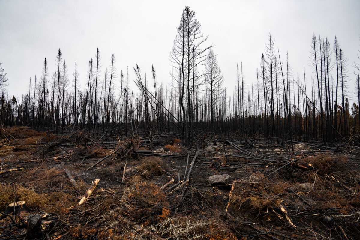
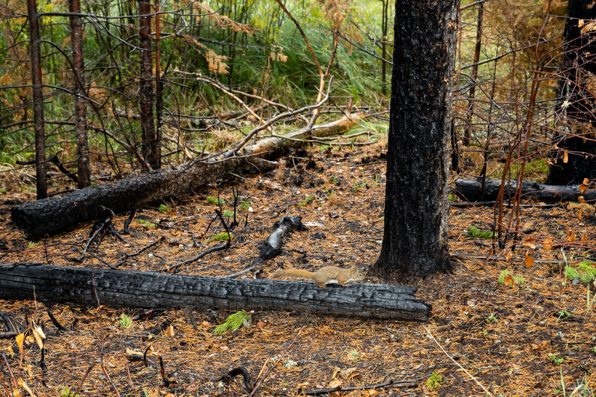
September 2021 — A Forest Service road winds through the burn scar of the 2021 Greenwood Fire in northeastern Minnesota, where charred trunks and open sightlines reveal the scale of the blaze that ultimately consumed more than 27,000 acres of Superior National Forest. The fire began in August 2021 after a lightning strike ignited drought-stressed timber, rapidly expanding under unusually dry and windy conditions. At its peak, roughly 500 firefighters, support staff, and aerial crews worked to protect cabins, roads, and the nearby communities spread across Lake County. This photograph was made inside the restricted closure zone during the period when the U.S. Forest Service still had nearly 100 personnel assigned to monitoring, repair work, and suppression repair. The skeletal tree canopy and exposed soil illustrate the early stages of ecological recovery—an ongoing process that will shape this section of the Northwoods for decades.
September 2021 —
September 2021 —
September 2021 —
September 2021 —
September 2021 —
September 2021 —
September 2021 —
September 2021 —
September 2021 —
September 2021 —
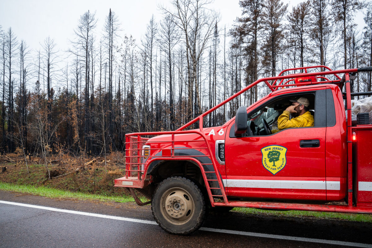
September 2021 — A New Jersey Forest Fire Service firefighter up in the Superior National Forest during the Glenwood wildfire.
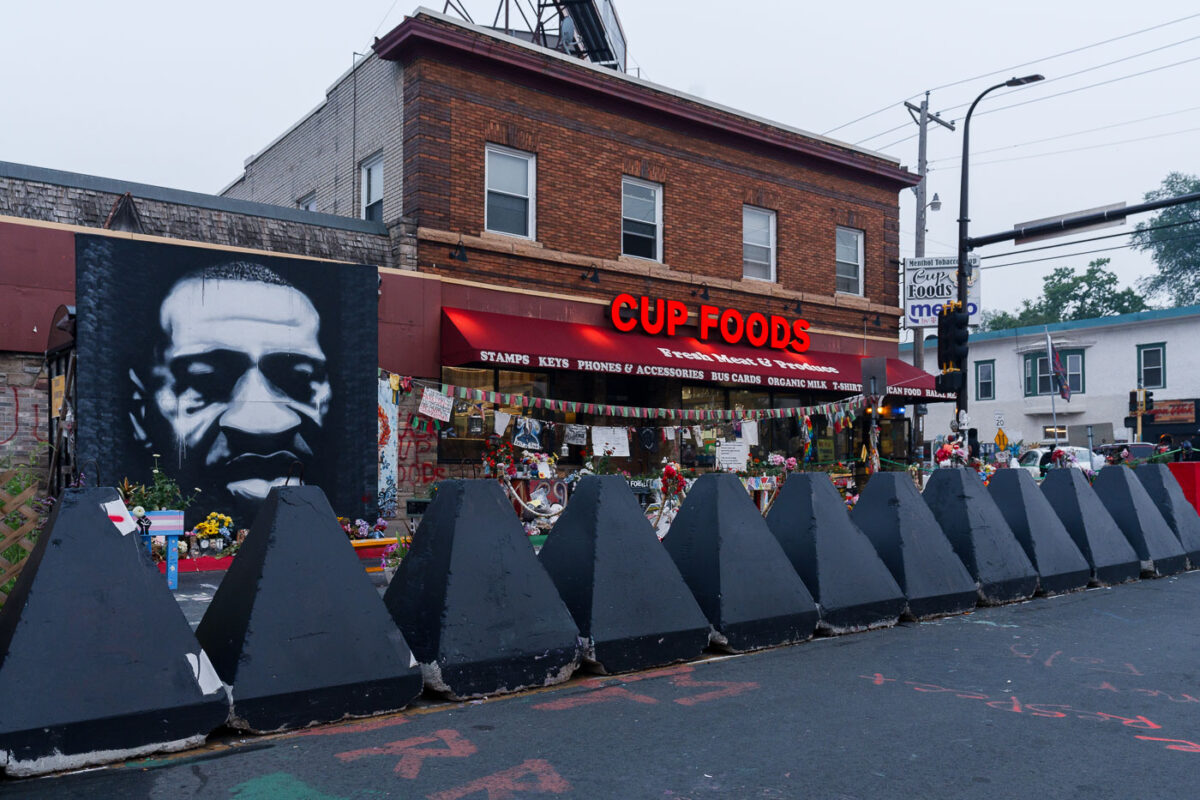
July 2021 — A smoky evening at George Floyd Square during air quality warnings over Canadian wildfire smoke. The wildfires brought the worst on record Minnesota air quality to the state for weeks at a time.
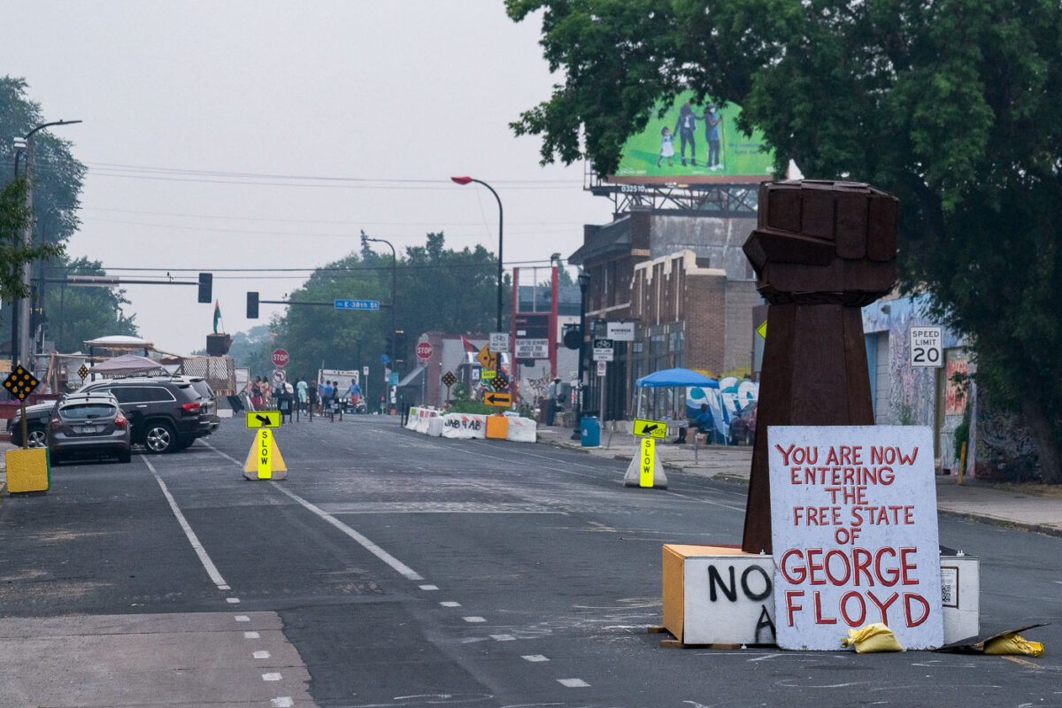
July 2021 — Chicago Avenue in George Floyd Square during a Canadian wildfire smoke filled evening.
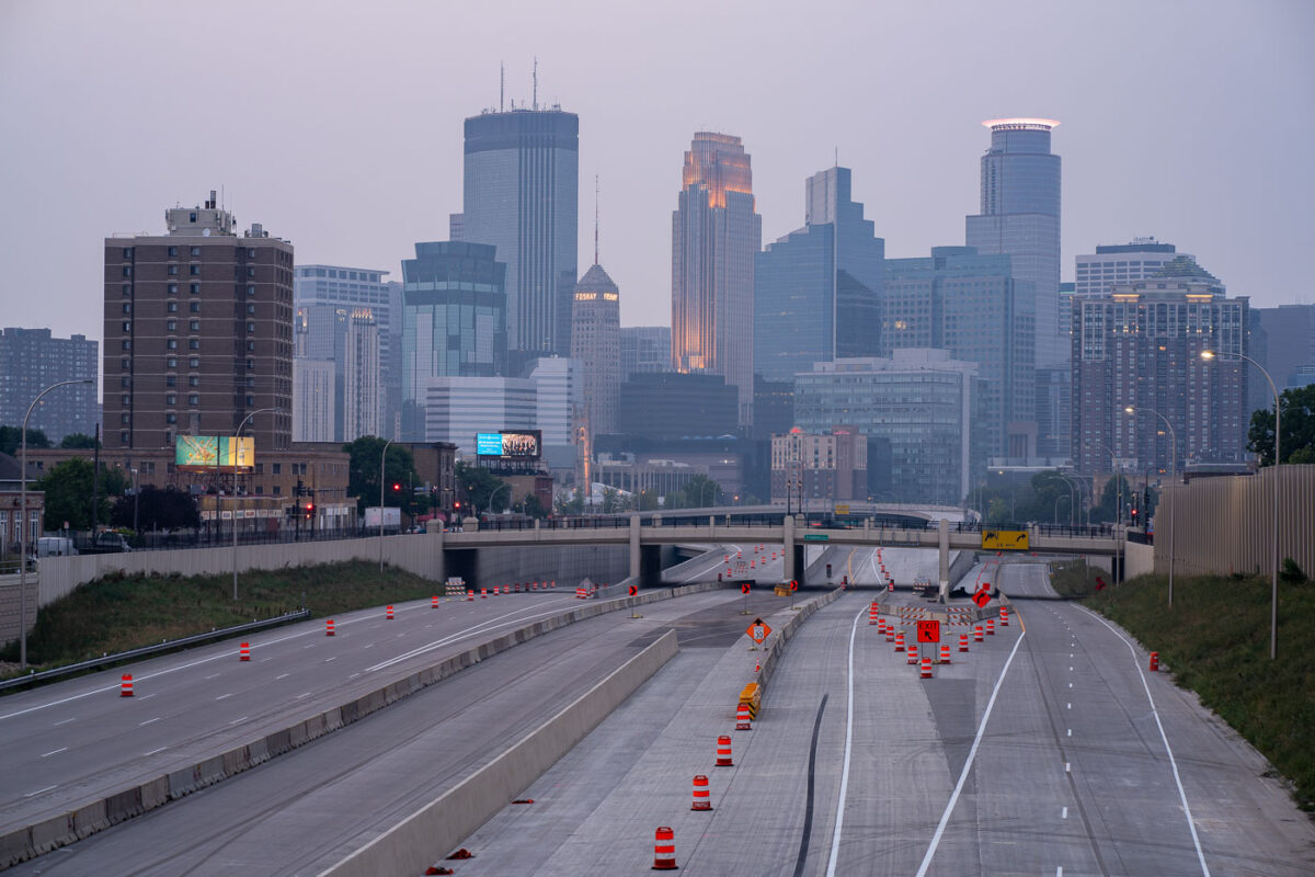
July 2021 — Downtown Minneapolis with wildfire haze.