Agua Volcano

11 photos · 2020

11 photographs tagged Agua Volcano, 2020.
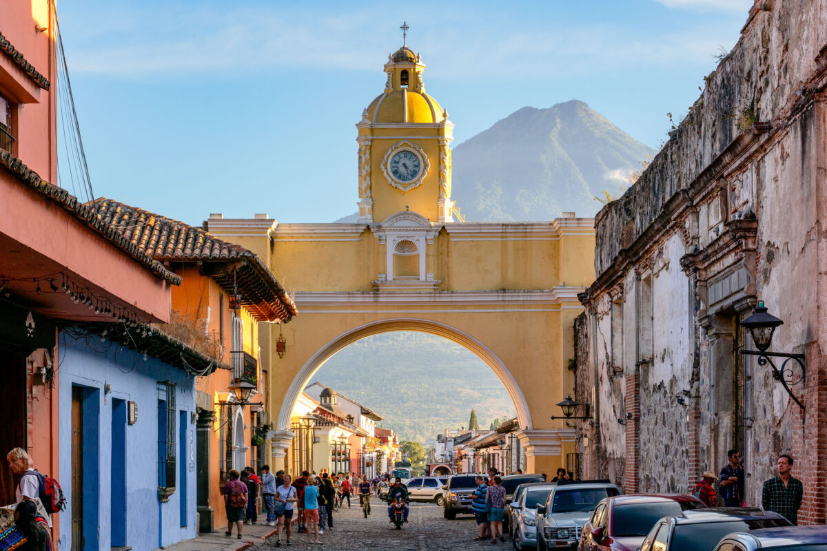
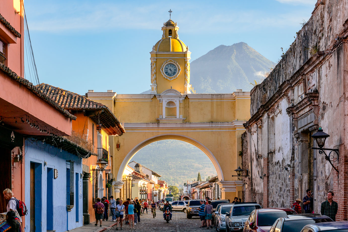
Santa Catalina Arch with its yellow clock tower frames a cobblestone street in colonial Antigua Guatemala, with Volcán de Agua rising in the background.
Santa Catalina Arch spans 5a Avenida Norte in Antigua Guatemala, one of the city's most recognized colonial structures. It was built in 1694 to let cloistered nuns of the Santa Catalina convent cross the street to an adjoining school without being seen in public, as their order's rules forbade. The convent itself was founded in 1609 and largely destroyed by the 1773 earthquake that led Spanish authorities to relocate the colonial capital to present-day Guatemala City. The arch's clock tower was added in the 19th century, after the city had already been abandoned as the seat of government. Volcán de Agua, a roughly 3,760-meter stratovolcano, rises directly south of the city and is visible through the arch on clear days.

Santa Catalina Arch and Volcán de Agua, Antigua Guatemala
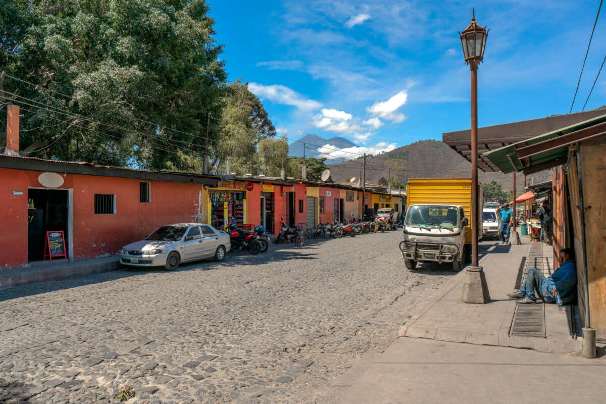
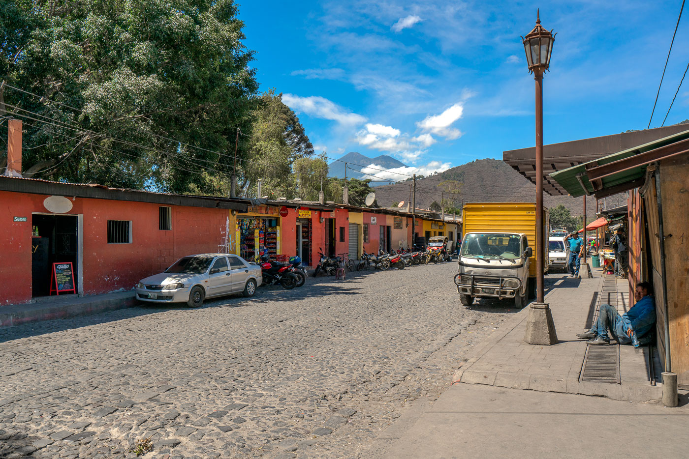
Cobblestone street in Antigua Guatemala with colonial buildings, parked vehicles, and Agua volcano visible in the distance.
Volcán de Agua rises just south of Antigua Guatemala, a dormant stratovolcano reaching about 3,760 meters above sea level. A mudslide from the volcano destroyed the nearby settlement of Ciudad Vieja in 1541, prompting Spanish colonists to relocate their capital to what became Antigua two years later. Antigua Guatemala served as the seat of the Captaincy General of Guatemala until a series of earthquakes forced its abandonment in 1773. Its cobblestone streets and low colonial buildings, many dating to the 16th through 18th centuries, helped earn the city UNESCO World Heritage status in 1979.

Market Street Below Volcán de Agua in Antigua
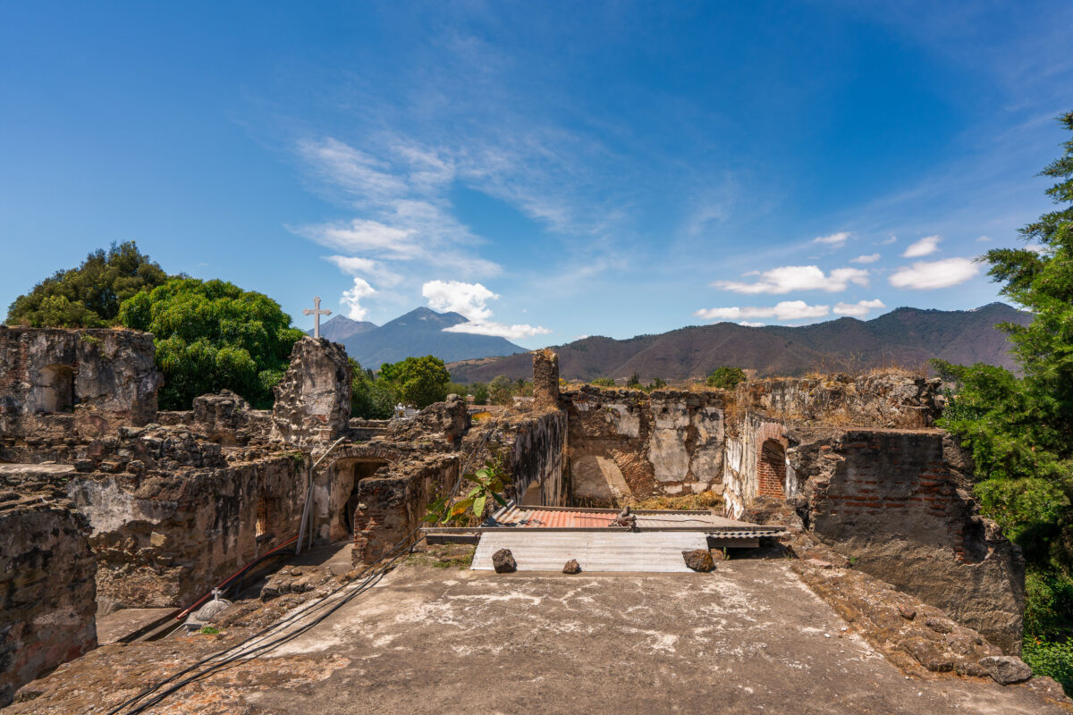
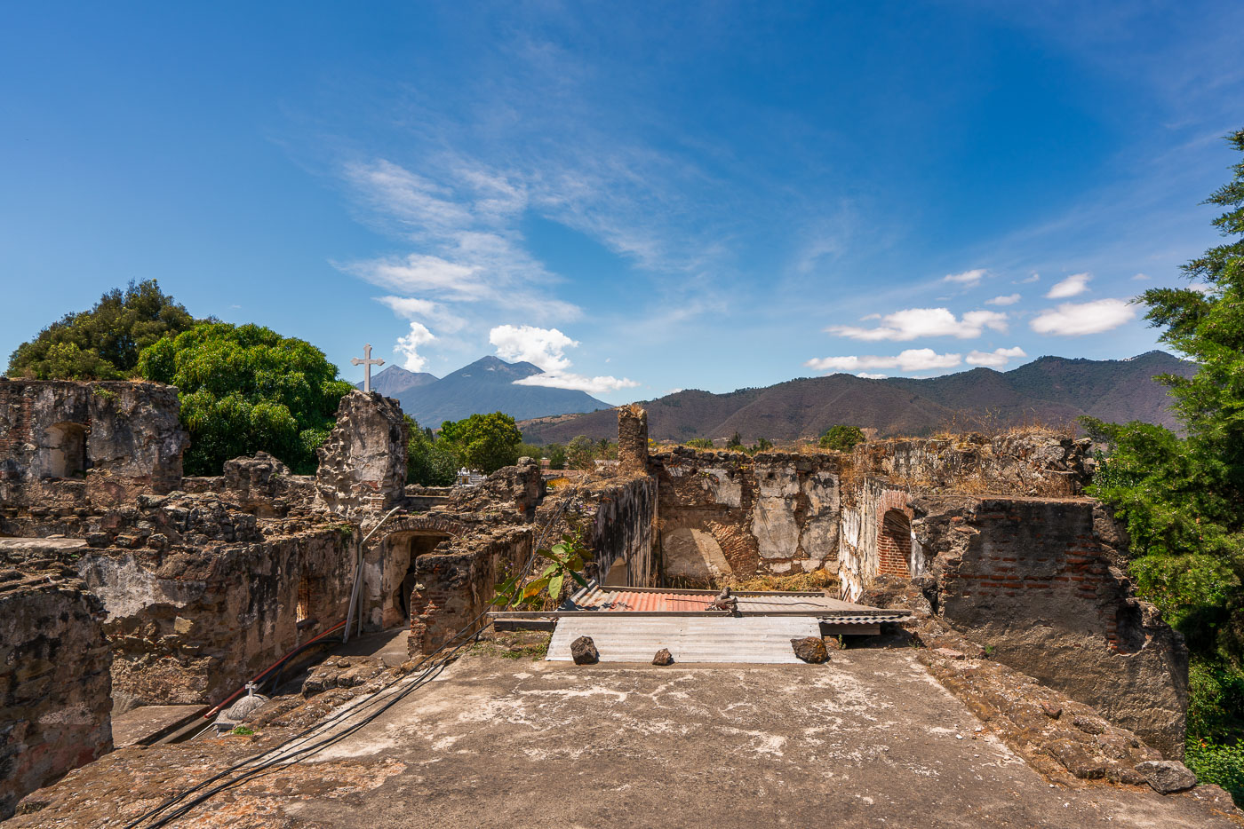
Stone ruins of the San Francisco el Grande colonial church and convent in Antigua, Guatemala, with Agua Volcano visible in the distance.
San Francisco el Grande began as a Franciscan church and convent built in Antigua in 1579. Earthquakes, most severely the 1773 Santa Marta tremors, left much of the original structure in ruins, and the complex stood largely abandoned until restoration efforts took hold in the 20th century. A newer sanctuary adjoining the ruins now holds the tomb of Hermano Pedro de San José Betancur, canonized in 2002 as Guatemala's first saint, drawing pilgrims from across Central America. Volcán de Agua, a 3,760-meter stratovolcano southeast of the city, has long served as a landmark for travelers approaching Antigua.

A Stone Cross Among the Ruins of San Francisco el Grande
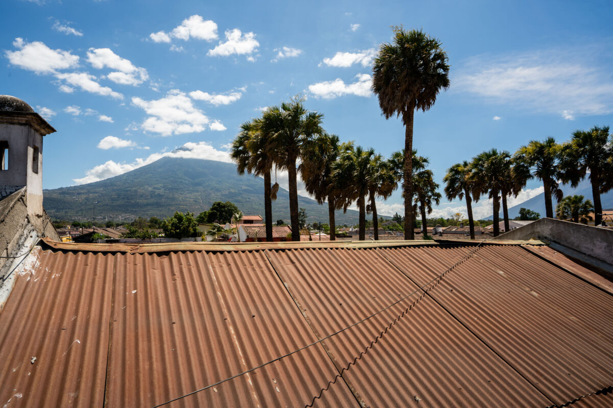
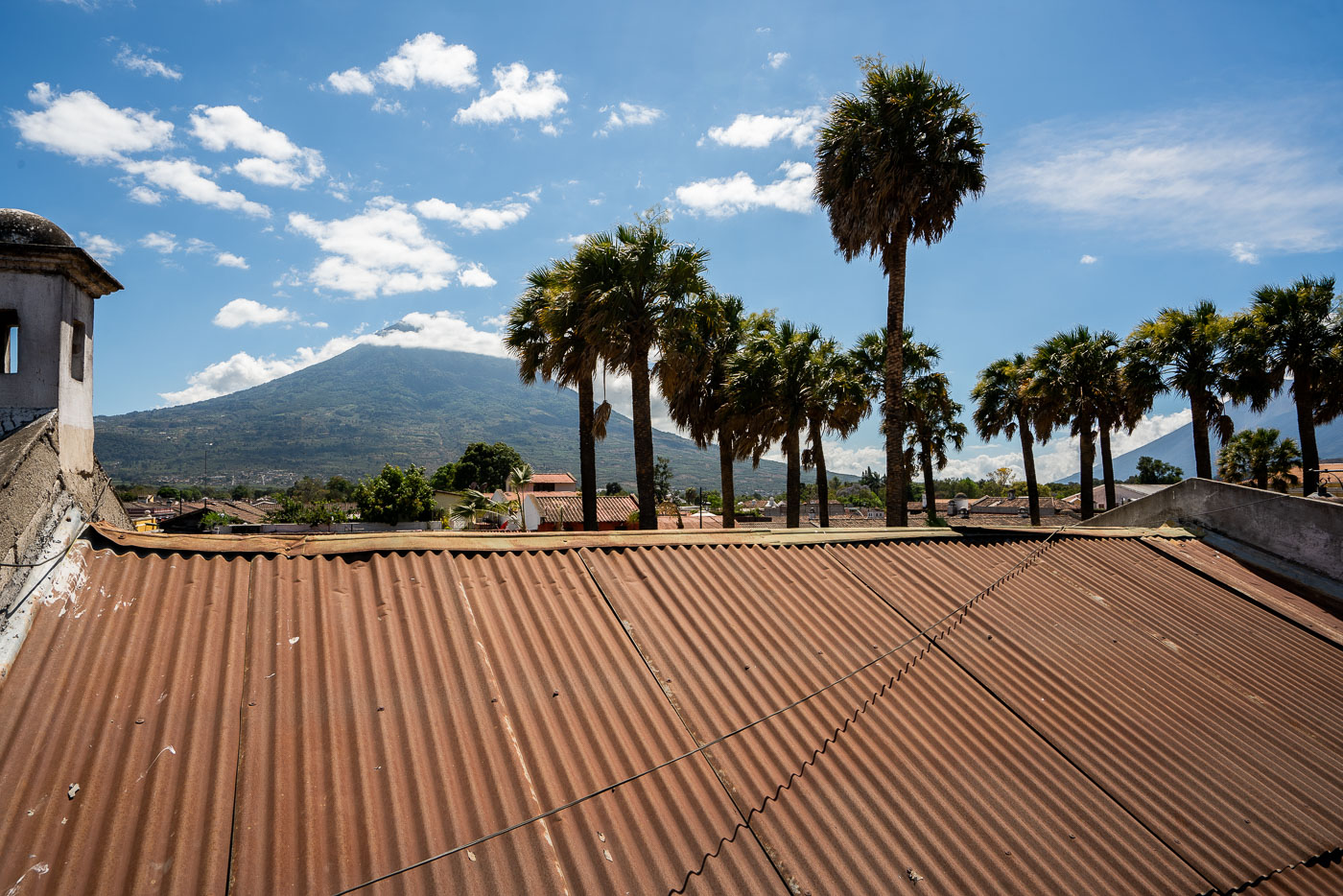
Agua Volcano rises above the roofline of Antigua, Guatemala, framed by palm trees under a blue sky.
Volcán de Agua rises to 3,760 meters south of Antigua Guatemala, its symmetrical cone a defining landmark of the Panchoy Valley. The volcano takes its name — "water" — from a 1541 mudslide and flood that destroyed the early Spanish capital of Ciudad Vieja, prompting colonial authorities to relocate the capital to the site of present-day Antigua. It last erupted in 1543 and is now dormant, in contrast to the active Fuego volcano nearby. Corrugated metal roofing, common throughout Antigua's historic district, covers many of the colonial-era buildings within the city's UNESCO World Heritage site, designated in 1979.

Rooftop View of Volcán de Agua, Antigua Guatemala
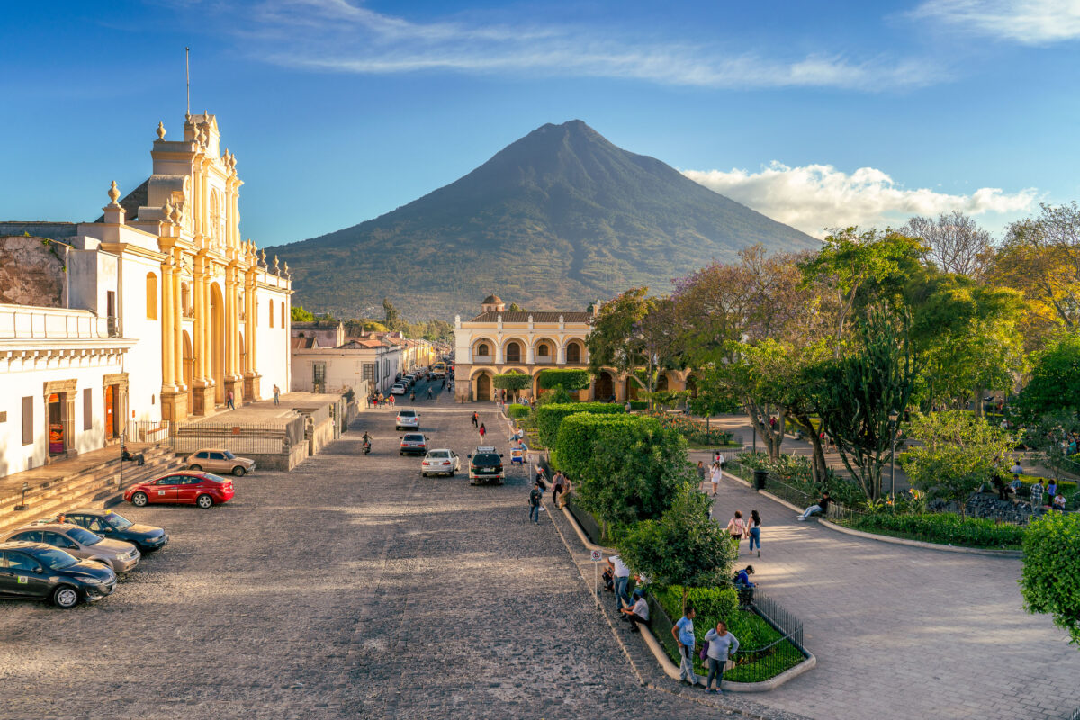
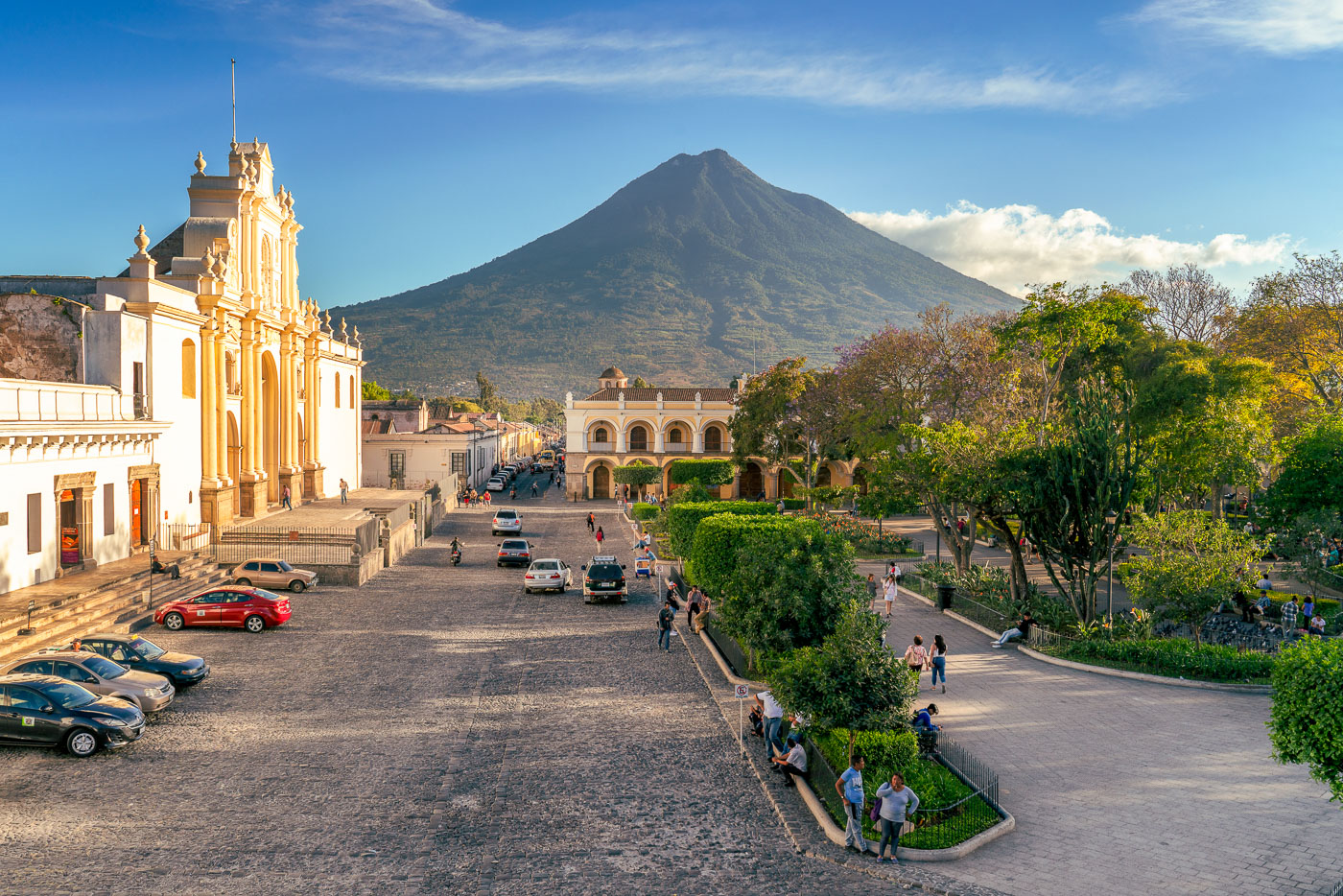
Catedral de Santiago and Volcán de Agua dominate Parque Central in Antigua Guatemala, a UNESCO World Heritage colonial city.
The Catedral de San José faces Parque Central in Antigua Guatemala, its current facade dating to a 1680 rebuilding after earlier quakes destroyed the original 1543 structure. Much of the cathedral's nave and rear chapels collapsed in the 1773 Santa Marta earthquake, which prompted colonial authorities to relocate the capital to present-day Guatemala City. Only the front portion was later restored for regular use, while ruins of the old naves remain behind it. Volcán de Agua, rising to about 3,760 meters, takes its name from a 1541 mudslide that destroyed the original Spanish capital at Ciudad Vieja. Antigua Guatemala's historic center was named a UNESCO World Heritage Site in 1979 for its preserved Spanish colonial layout and architecture.

San José Cathedral and Volcán de Agua Over Antigua Guatemala
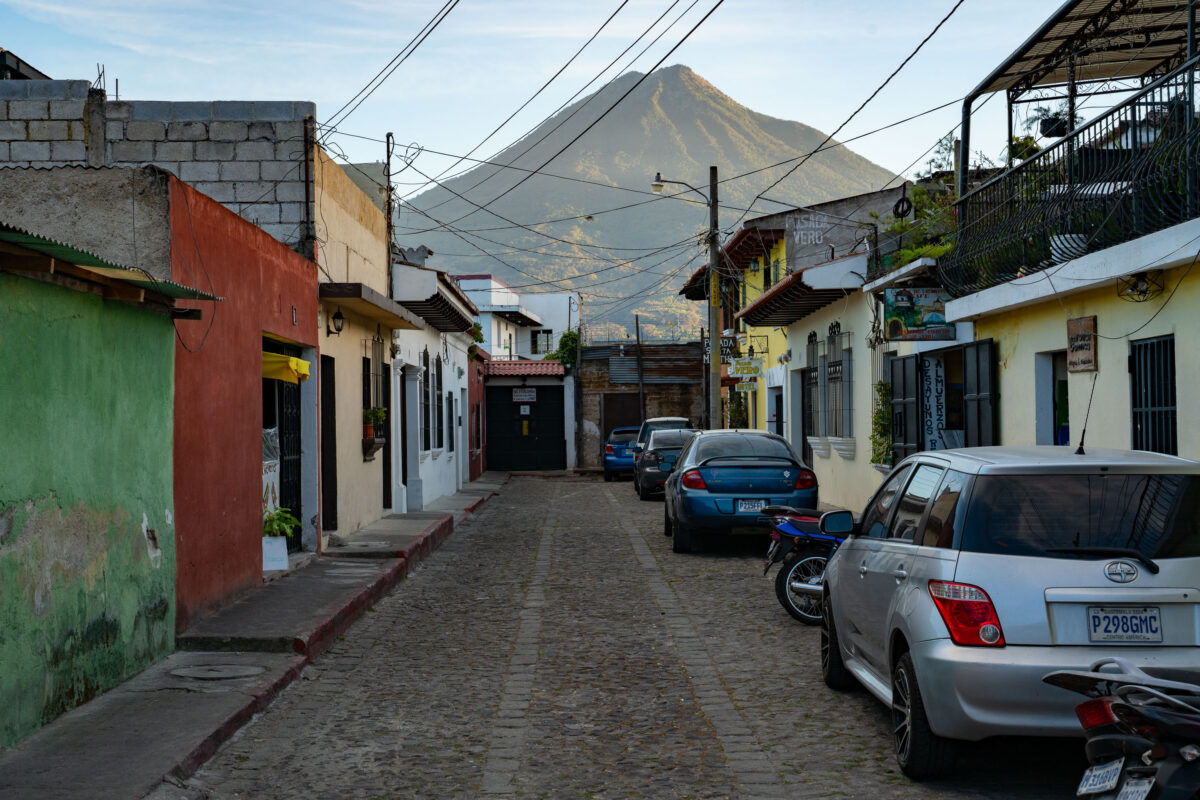
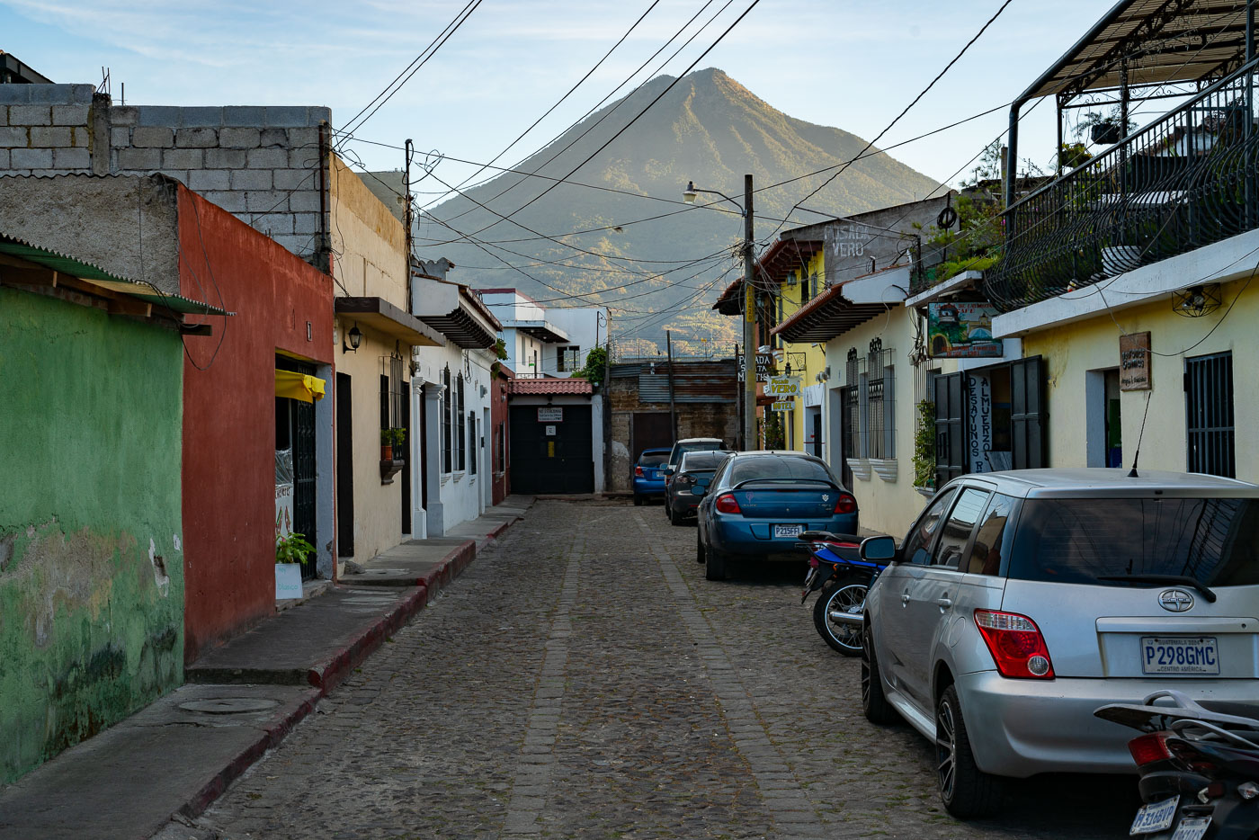
A narrow cobblestone street in colonial Antigua, Guatemala, with parked vehicles and colorful buildings framing Volcán de Agua in the distance.
Volcán de Agua rises about 3,760 meters above sea level just south of Antigua Guatemala, and its symmetrical cone is visible from streets throughout the city. Antigua's grid of cobblestone streets dates to the 16th century, when the city served as the capital of the Captaincy General of Guatemala. UNESCO designated the city's historic center a World Heritage Site in 1979, citing its well-preserved colonial layout and architecture. Many of the low buildings lining streets like this one combine original colonial walls with later additions, a pattern common throughout the city after repeated earthquake damage prompted rebuilding over the centuries.

Parked Cars Along a Cobblestone Lane Near Volcán de Agua, Antigua
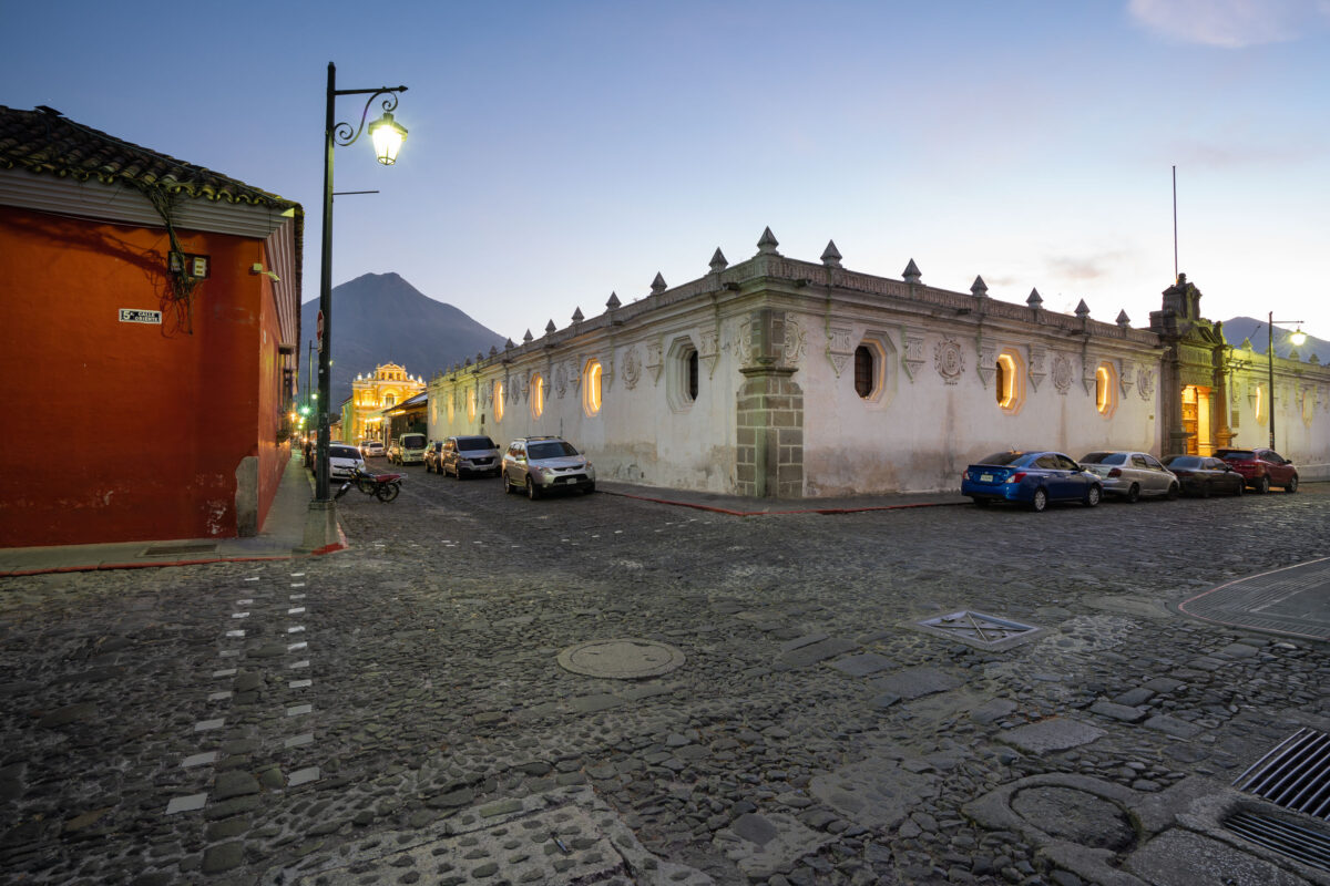
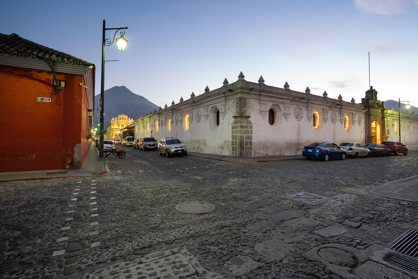
Colonial-era buildings with illuminated windows line a cobblestone street in Antigua Guatemala as Agua Volcano rises in the background at dusk.
5a Calle Oriente runs east-west through the historic center of Antigua Guatemala, part of the city's original 16th-century grid laid out after the Spanish crown relocated its colonial capital here in 1543. Agua Volcano, a dormant stratovolcano rising to roughly 3,760 meters, stands just south of the city and gave Antigua its name after a 1541 mudslide from its slopes destroyed the earlier Spanish capital at its base. Antigua Guatemala's colonial street grid and surrounding volcanoes were inscribed as a UNESCO World Heritage Site in 1979, recognizing the city's preserved Spanish Baroque architecture.

Twilight on 5a Calle Oriente Toward Agua Volcano, Antigua
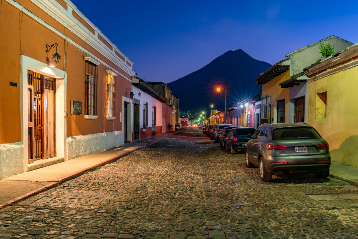
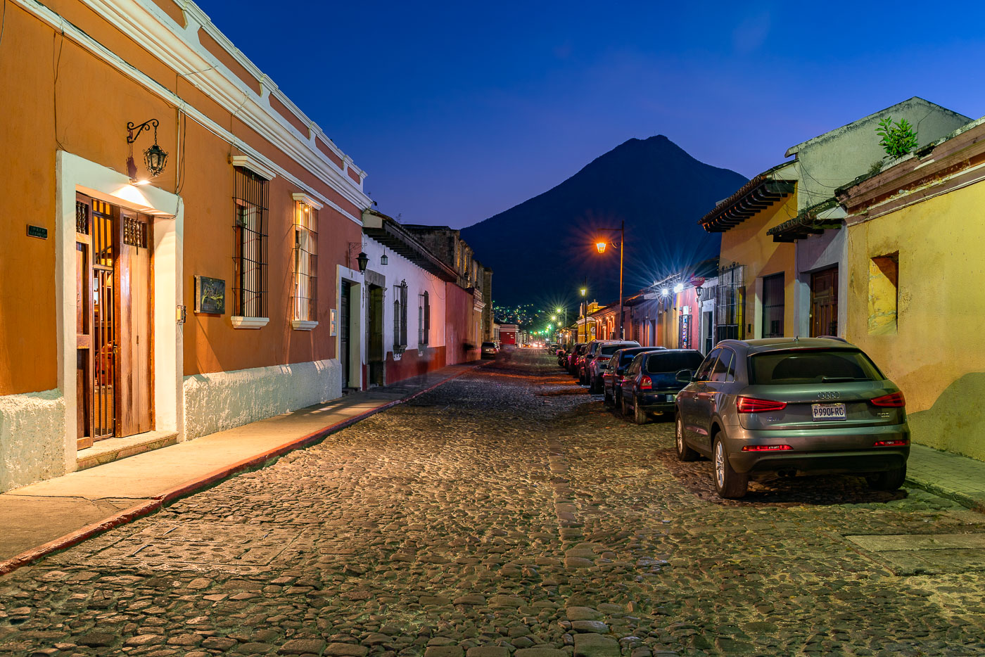
Parked vehicles line a cobblestone street in Antigua Guatemala at twilight with Volcán de Agua rising in the background.
Antigua Guatemala served as the capital of the Captaincy General of Guatemala from 1543 until a series of earthquakes forced the government to relocate to present-day Guatemala City in 1773. The city's colonial grid of cobblestone streets and low masonry buildings survives largely intact, earning it UNESCO World Heritage status in 1979. Volcán de Agua, rising to about 3,760 meters just south of the city, has long served as a landmark for orienting Antigua's streets, many of which align toward its summit.

Dusk Settles Over a Cobblestone Street Beneath Volcán de Agua
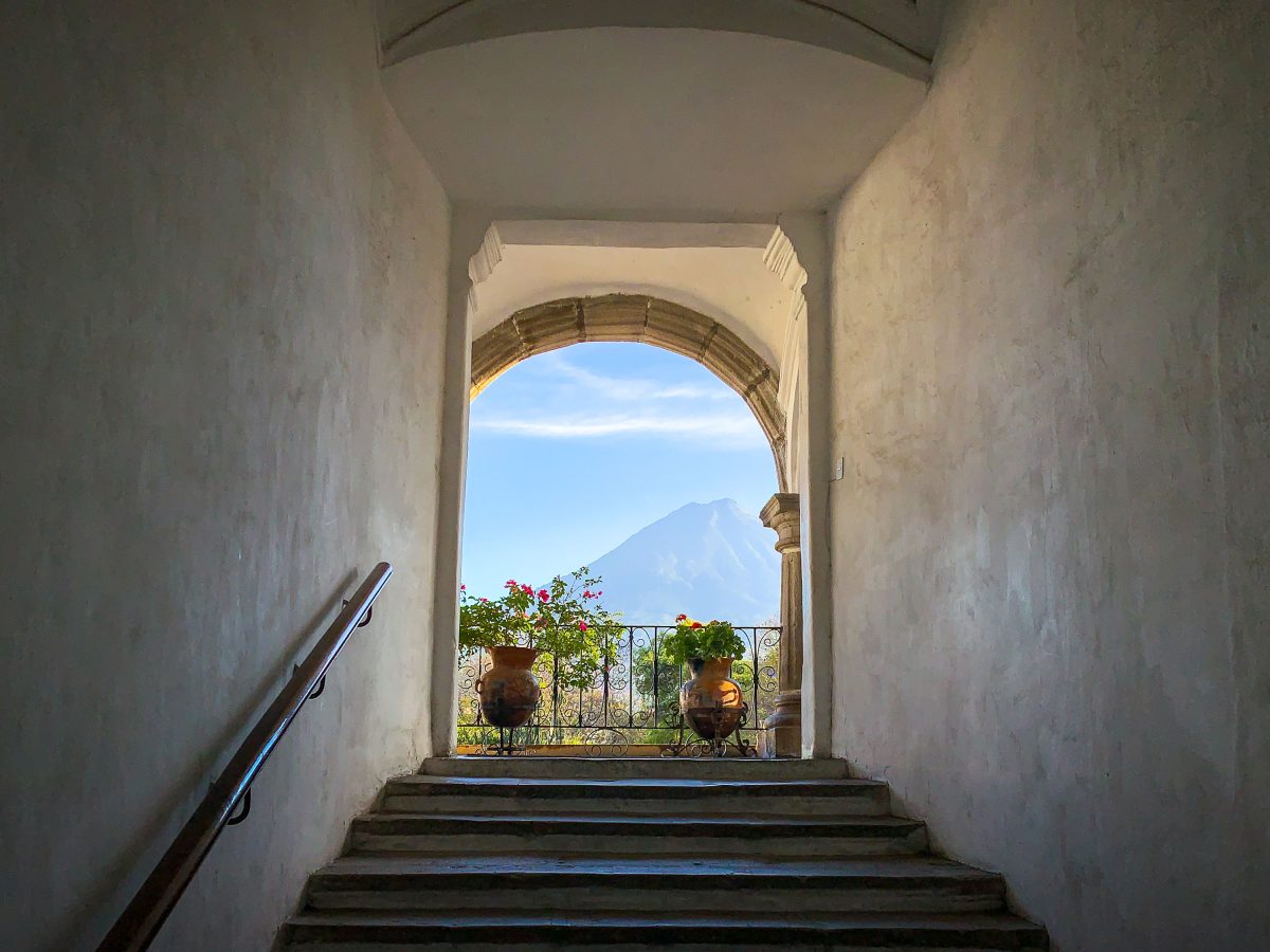
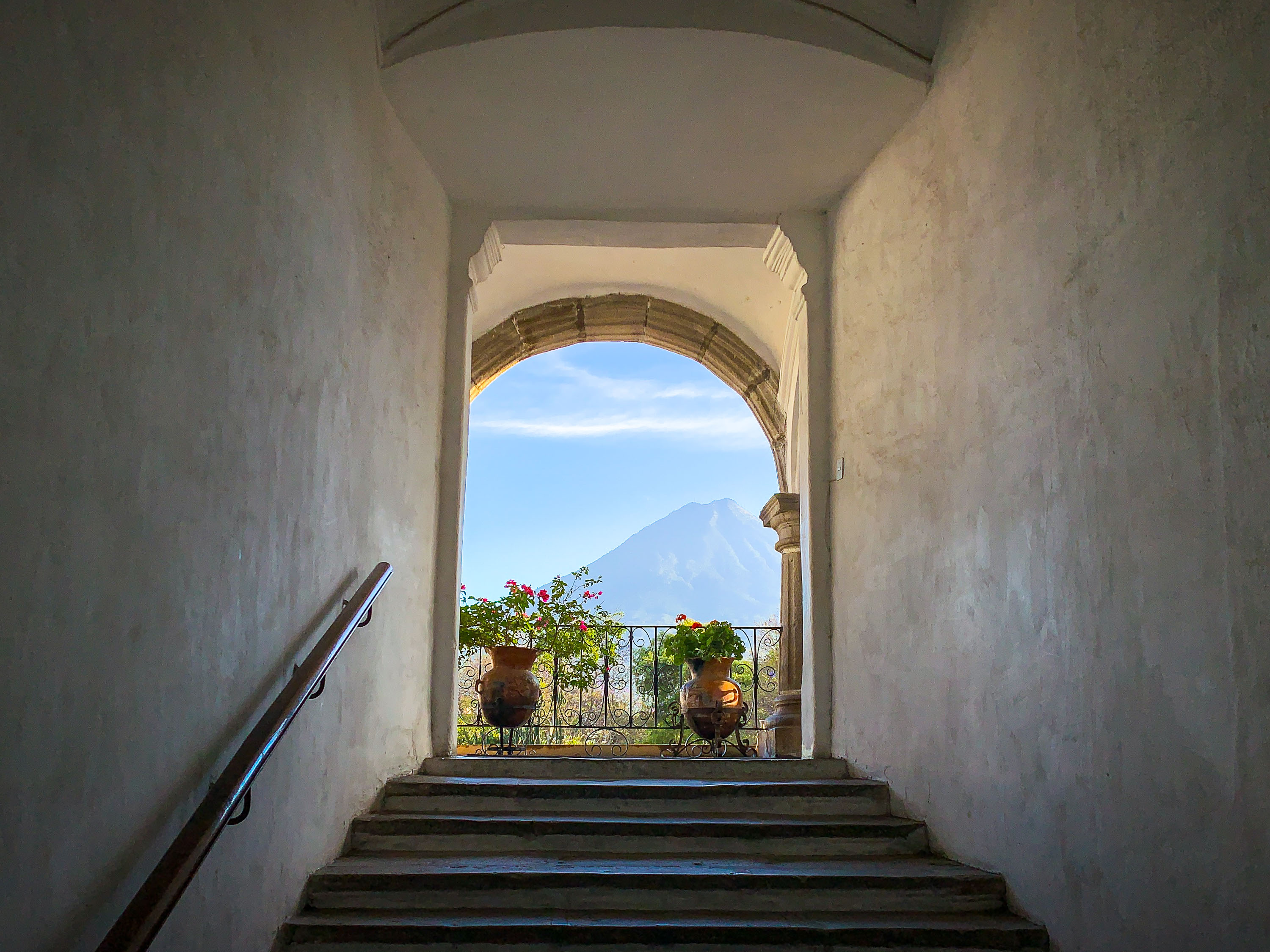
Stone archway and staircase in Antigua Guatemala frame Volcán de Agua rising in the distant landscape.
Volcán de Agua stands just south of Antigua Guatemala, its symmetrical cone rising to 3,766 meters above the valley where Spanish colonists founded the city in 1543 under the name Santiago de los Caballeros. Colonial builders frequently oriented stairways, courtyards, and doorways toward the volcano, a design habit still evident in surviving structures throughout the city. Earthquakes in 1717 and 1773 destroyed much of the original architecture, and the rebuilding that followed preserved the thick plastered walls and arched openings characteristic of 16th- and 17th-century Spanish colonial style. UNESCO designated Antigua Guatemala a World Heritage Site in 1979, citing its intact colonial layout set against the surrounding volcanic landscape.

Stairway Framing Volcán de Agua in Antigua Guatemala
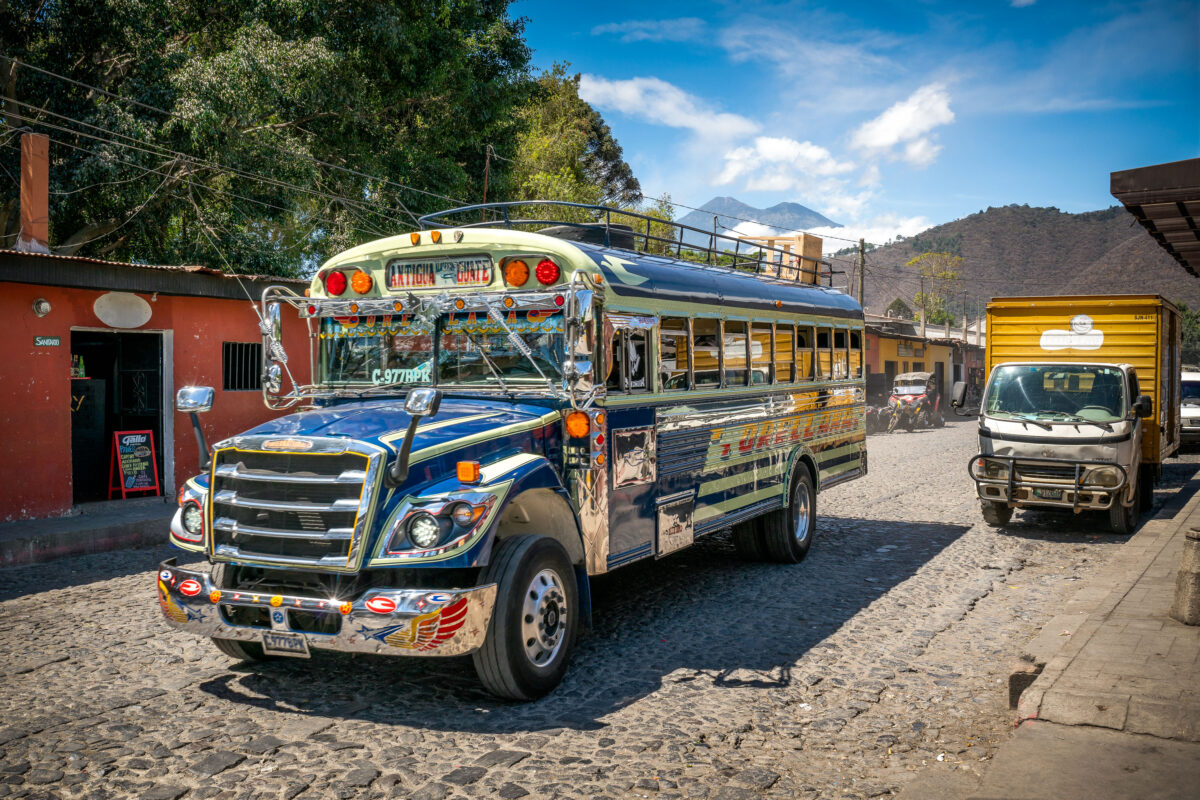
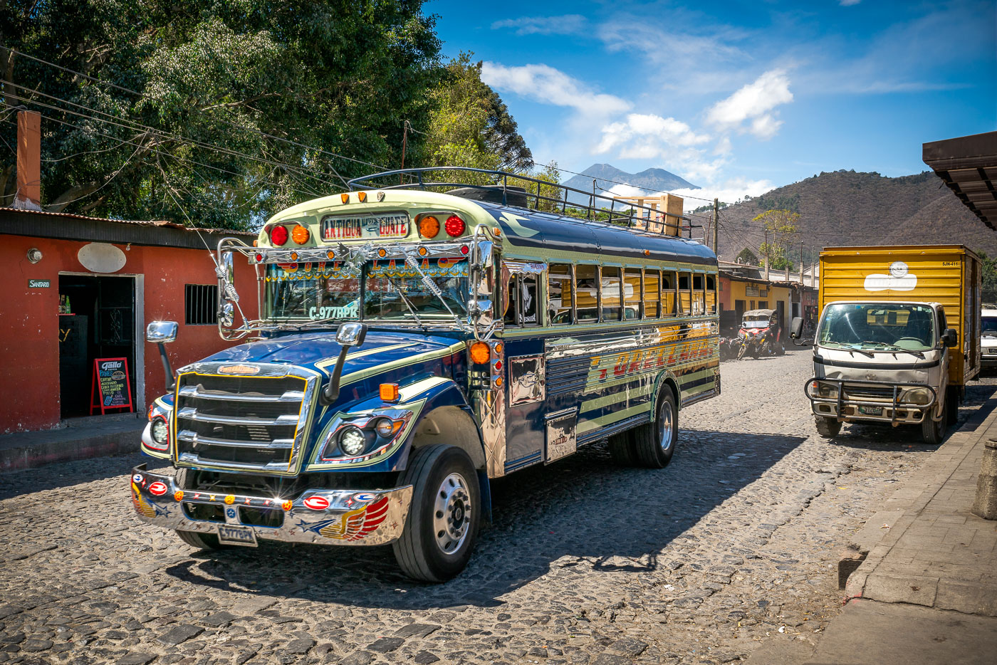
Chicken bus on a cobblestone street in Antigua Guatemala with Volcán de Agua behind it.
A decorated chicken bus travels along a cobblestone street in Antigua Guatemala. These repurposed buses are a common form of public transportation in Guatemala. Volcán de Agua rises in the background above the historic city.

Chicken Bus on Cobblestone Street, Antigua Guatemala
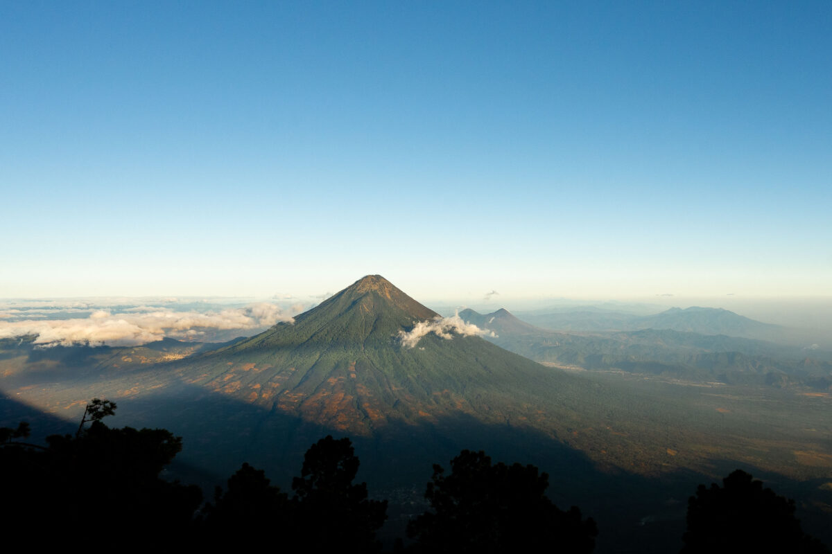
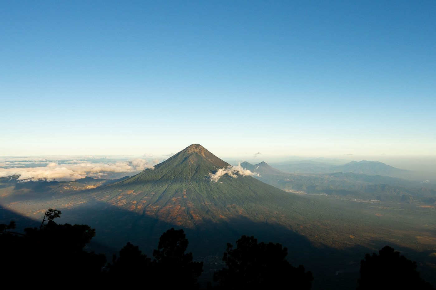
Acatenango volcano rises above clouds and forested foothills in Guatemala viewed from an elevated vantage point at dawn.
Fuego Volcano rises just southwest of Antigua Guatemala, its summit venting ash and gas almost continuously as one of the most active volcanoes in Central America. At 3,763 meters, it has produced major eruptions as recently as 2018 and continues smaller explosions on a near-daily basis. Acatenango, the taller neighbor at 3,976 meters, last erupted in 1972 and has since become one of Guatemala's most popular overnight treks, drawing hikers who camp near its summit to watch Fuego's activity after dark. Both peaks belong to the Central American Volcanic Arc, formed by the subduction of the Cocos Plate beneath the Caribbean Plate.

Fuego Volcano Smokes Beside Acatenango’s Summit