Map
More from Devils Tower National Monument

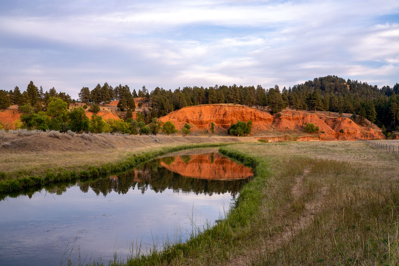
Cow by Belle Fourche River, Devil's Tower, Wyoming
A lone cow grazes near the Belle Fourche River, with the distinctive red rock formations of Devil's Tower National Monument…

Teepee Tent at KOA Campground, Devil's Tower, Wyoming
A teepee tent is situated at the KOA campground near Devil's Tower National Monument in Wyoming. The teepee, a traditional…

Devil's Tower National Monument at Night, Wyoming
Devil's Tower National Monument in Wyoming. Shot from the Devil's Tower KOA right outside the park.
Nearby Photos

