Place Archive

Devils Tower National Monument

Photography from Devils Tower National Monument in Wyoming captures the iconic rock formation and its surrounding landscapes, including red rock formations, pine forests, and the Belle Fourche River. Images depict the area's use for camping and ranching, with scenes of teepee-style tents at the KOA campground and livestock grazing near the river. The photos reflect the blend of natural beauty and human activity in this historic national monument and its nearby outdoor spaces.

4 photos

Map

Photo Map

Markers

Devils Tower National Monument Photo Locations

3 geotagged photos

Photos
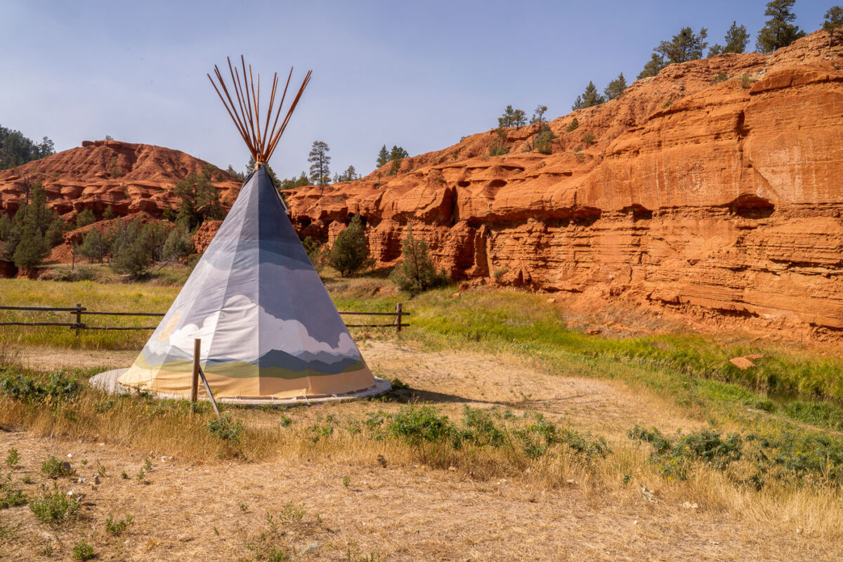
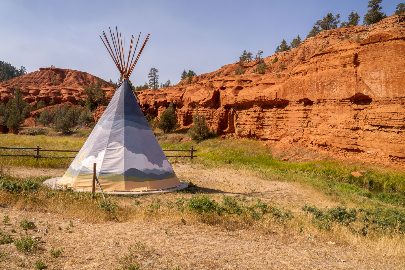
Teepee Tent at Devils Tower KOA
A teepee tent is situated at the KOA campground near Devil's Tower National Monument in Wyoming. The teepee, a traditional dwelling of many Indigenous Plains tribes, is a modern accommodation offered at the campground. Devil's Tower, a prominent geological formation, was designated the United States' first national monument in 1906. The surrounding landscape features striking red rock formations and sparse vegetation, characteristic of the semi-arid climate of the region.
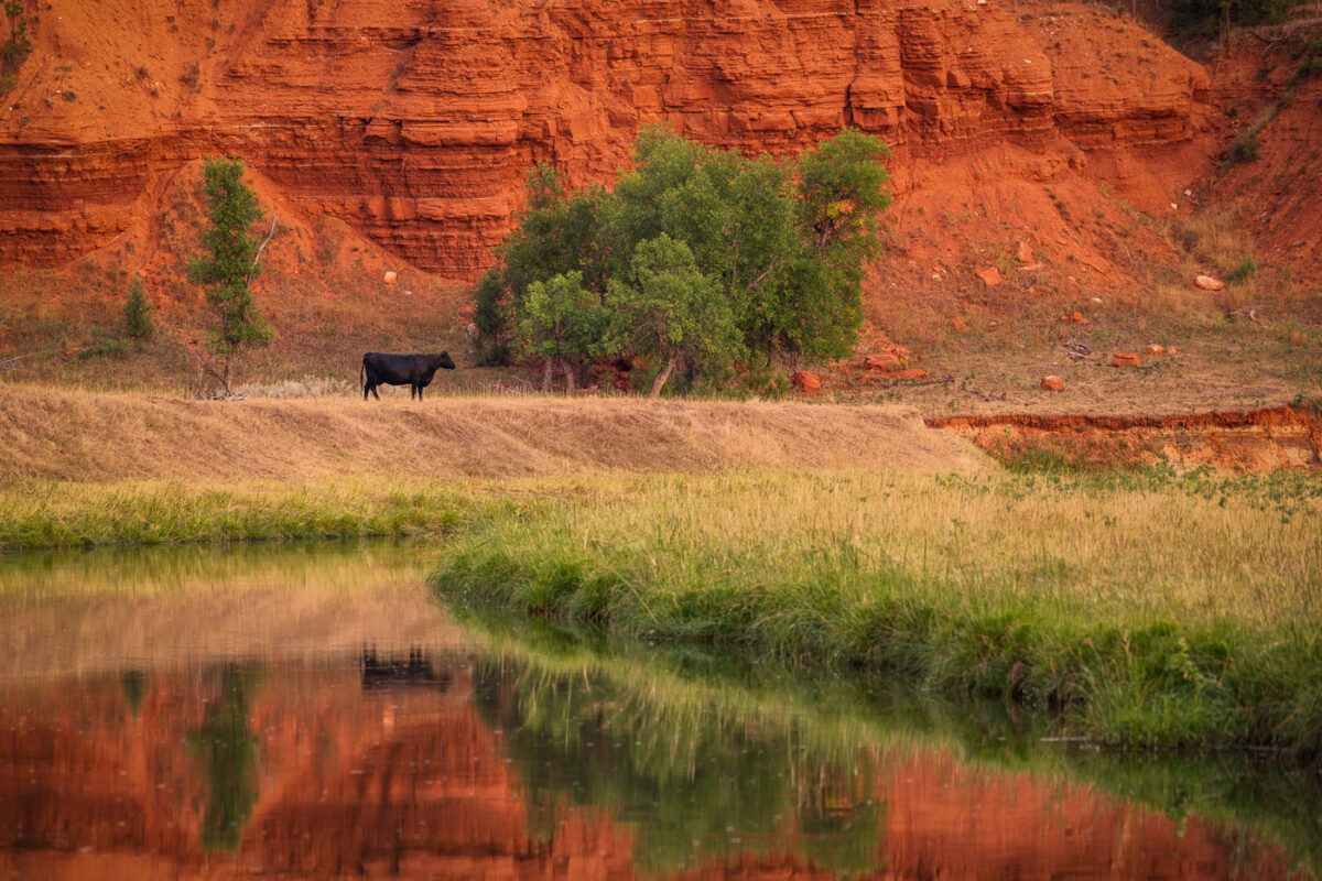
A cow near Devils Tower Wyoming
A lone cow grazes near the Belle Fourche River, with the distinctive red rock formations of Devil's Tower National Monument in the background. The Belle Fourche River, the longest river in South Dakota, flows through Wyoming and is a vital water source for the region's agriculture and wildlife. Devil's Tower, a laccolithic butte composed of igneous rock, was designated the first national monument in the United States in 1906. Cattle ranching has been a significant part of the economic and cultural landscape of this area for over a century, with the river providing essential grazing land.
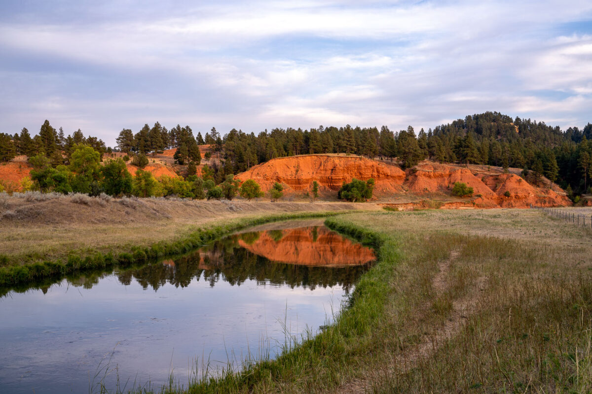
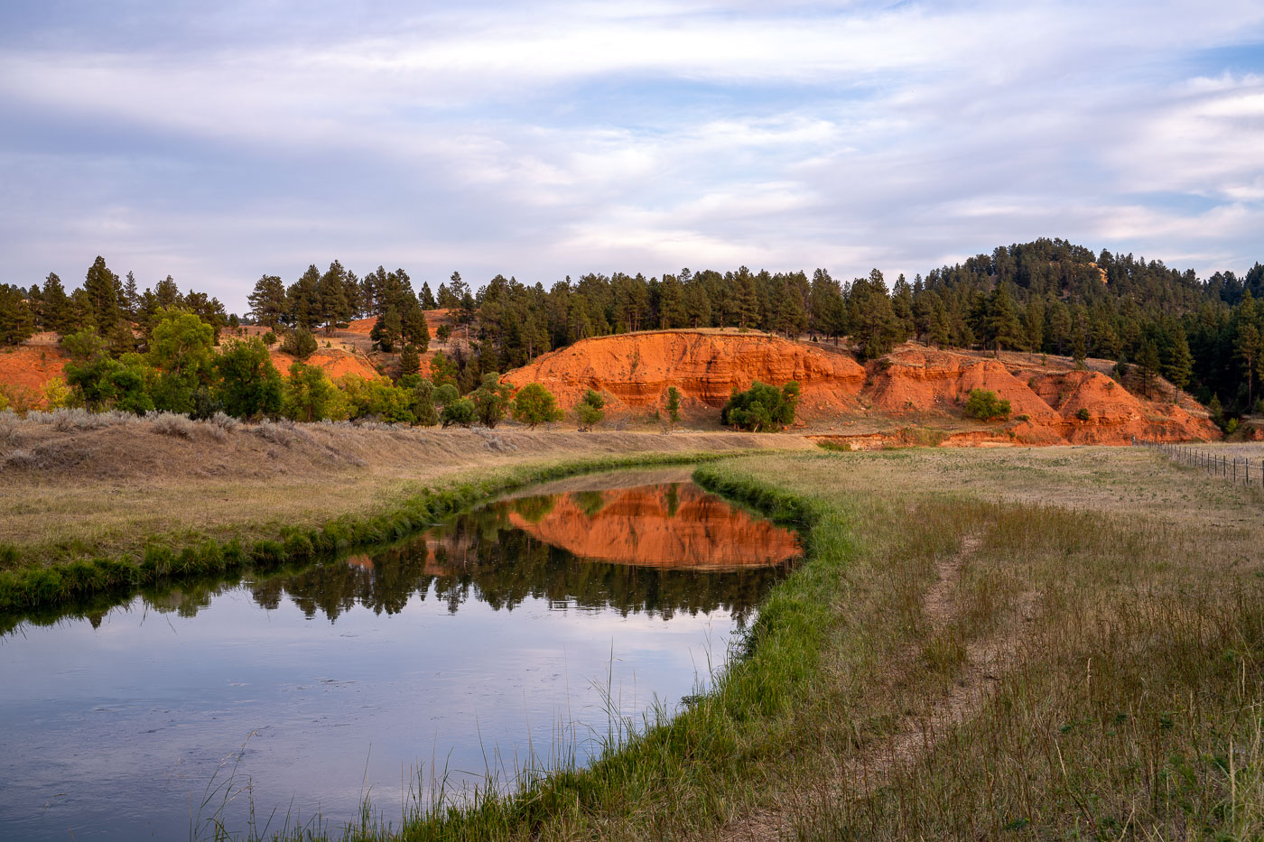
Belle Fourche River near Devils Tower
The Belle Fourche River flows through a landscape of red rock formations and pine forests in eastern Wyoming, near Devil's Tower National Monument. This river is the longest "all-water" river in the United States, meaning it is a river that flows entirely within the U.S. and is not a tributary to any other river. The Belle Fourche River has historically been important for agriculture and ranching in the region, with irrigation projects utilizing its waters since the early 20th century. Today, the area surrounding the river, including the nearby national monument, is a popular destination for camping and outdoor activities.
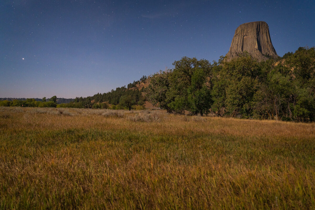
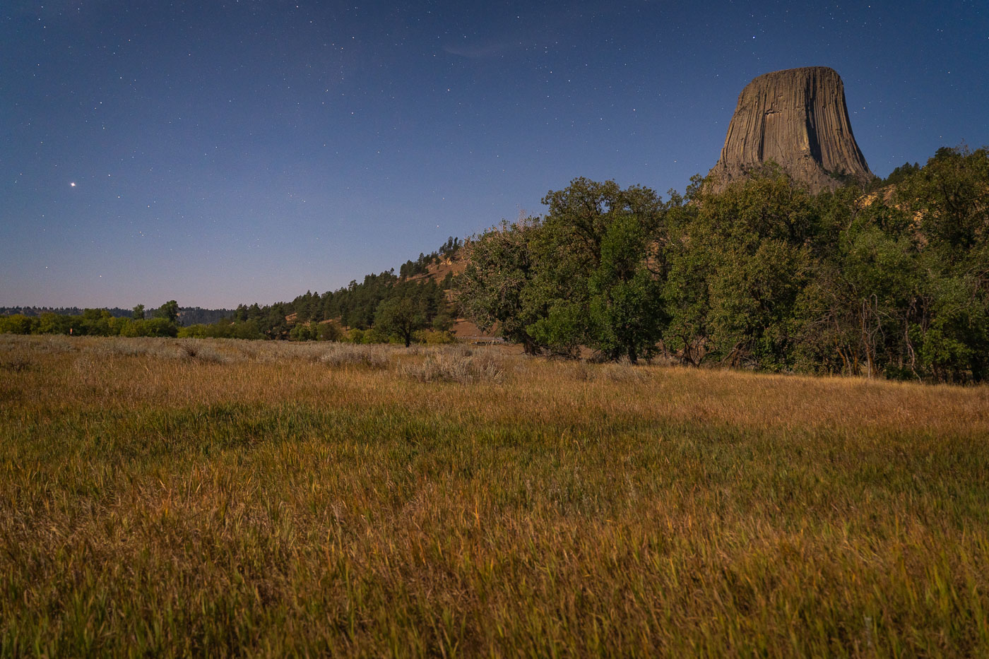
Devil's Tower National Monument rises above grassland and pine forest under a star-filled Wyoming night sky.
Devil's Tower rises 867 feet above the surrounding grasslands of northeastern Wyoming, formed from an igneous intrusion that eroded into its columnar shape over millions of years. President Theodore Roosevelt designated it the first national monument in the United States in 1906. The Lakota, Cheyenne, and Kiowa hold the formation sacred and know it by names such as Bear Lodge, tied to origin stories about its fluted sides. Ponderosa pine forests and mixed-grass prairie surround the tower's base, habitat that supports deer, prairie dogs, and a range of raptors. Climbers have summited the rock since 1893, and it remains a popular technical climbing destination today.

Built in Minneapolis

Minneapolis Photographer

Browse by location, move through long-running series, or start with recent work.