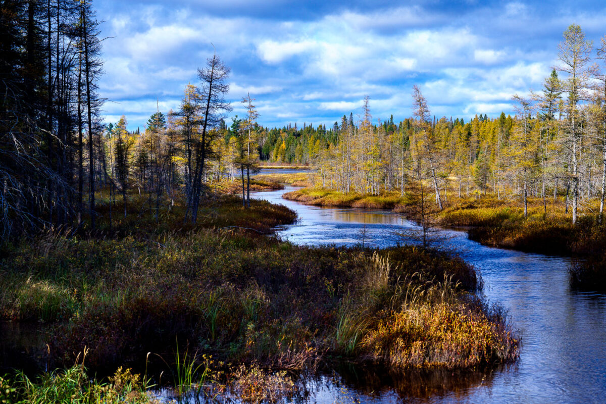
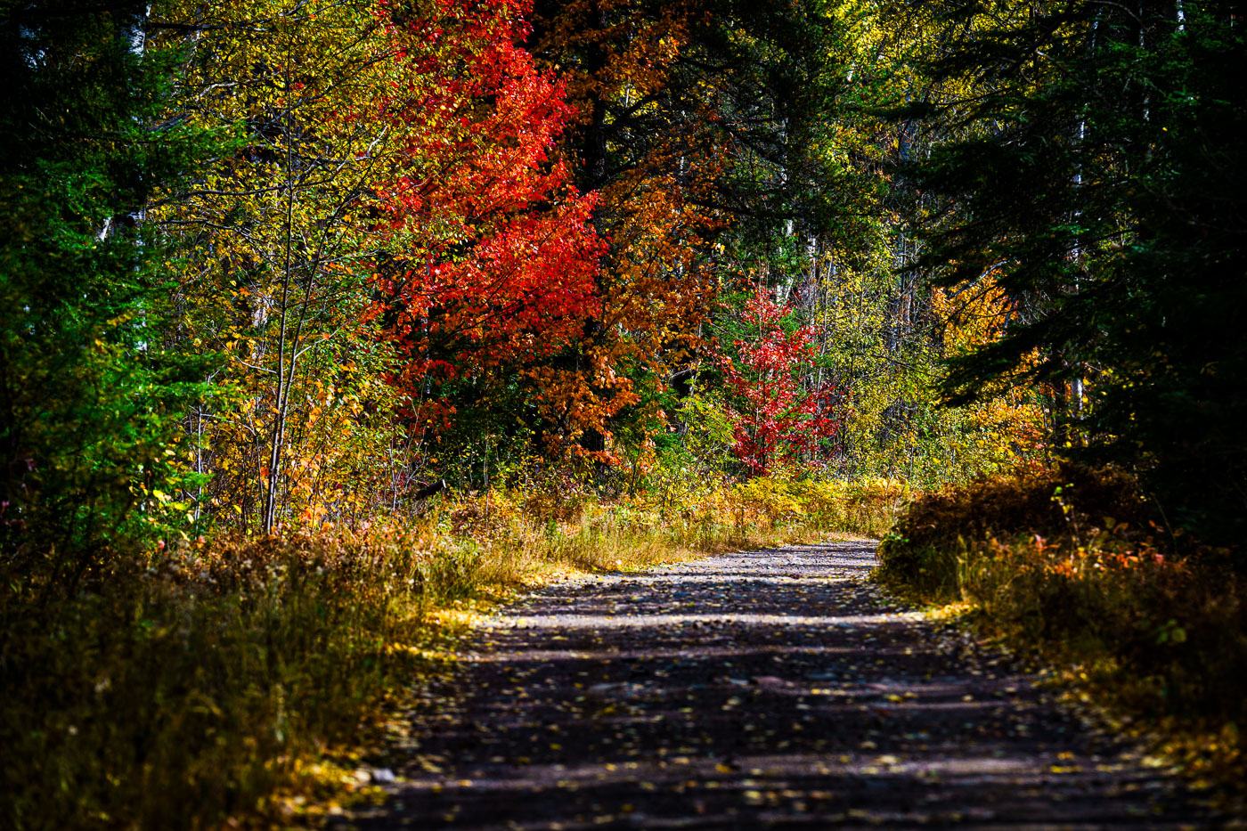
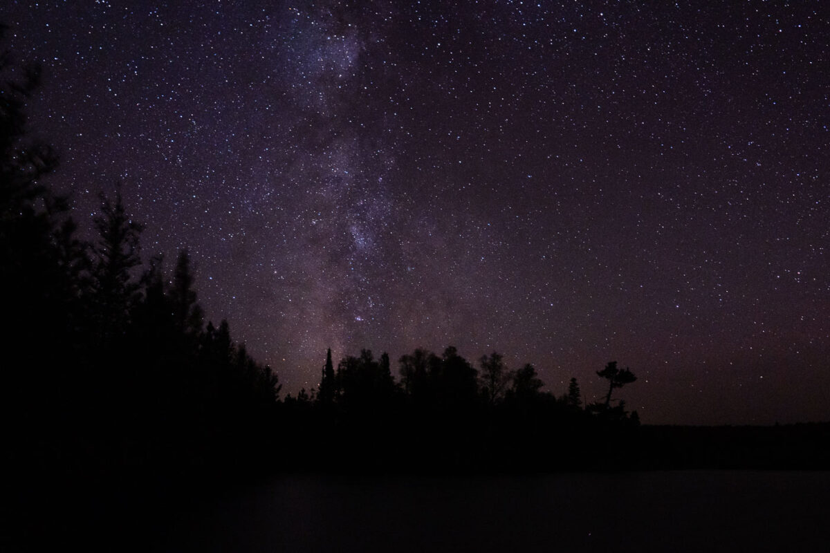
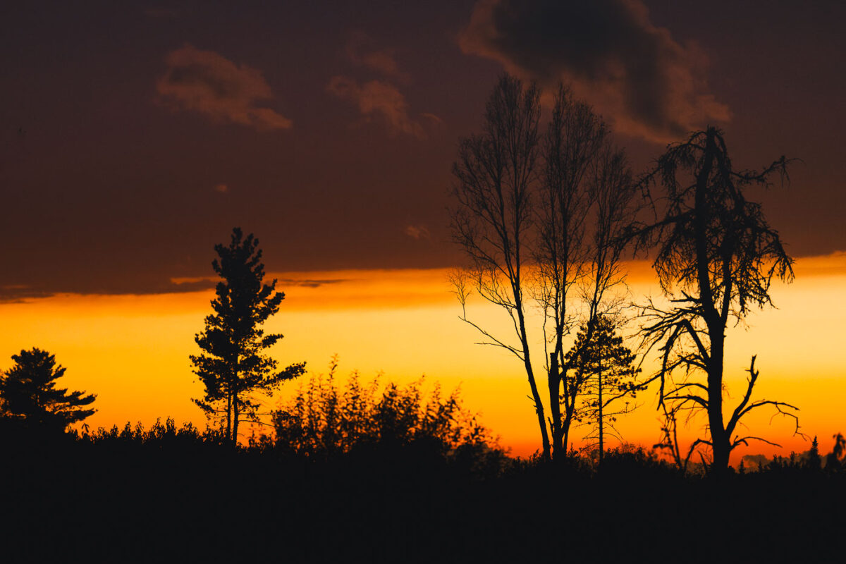
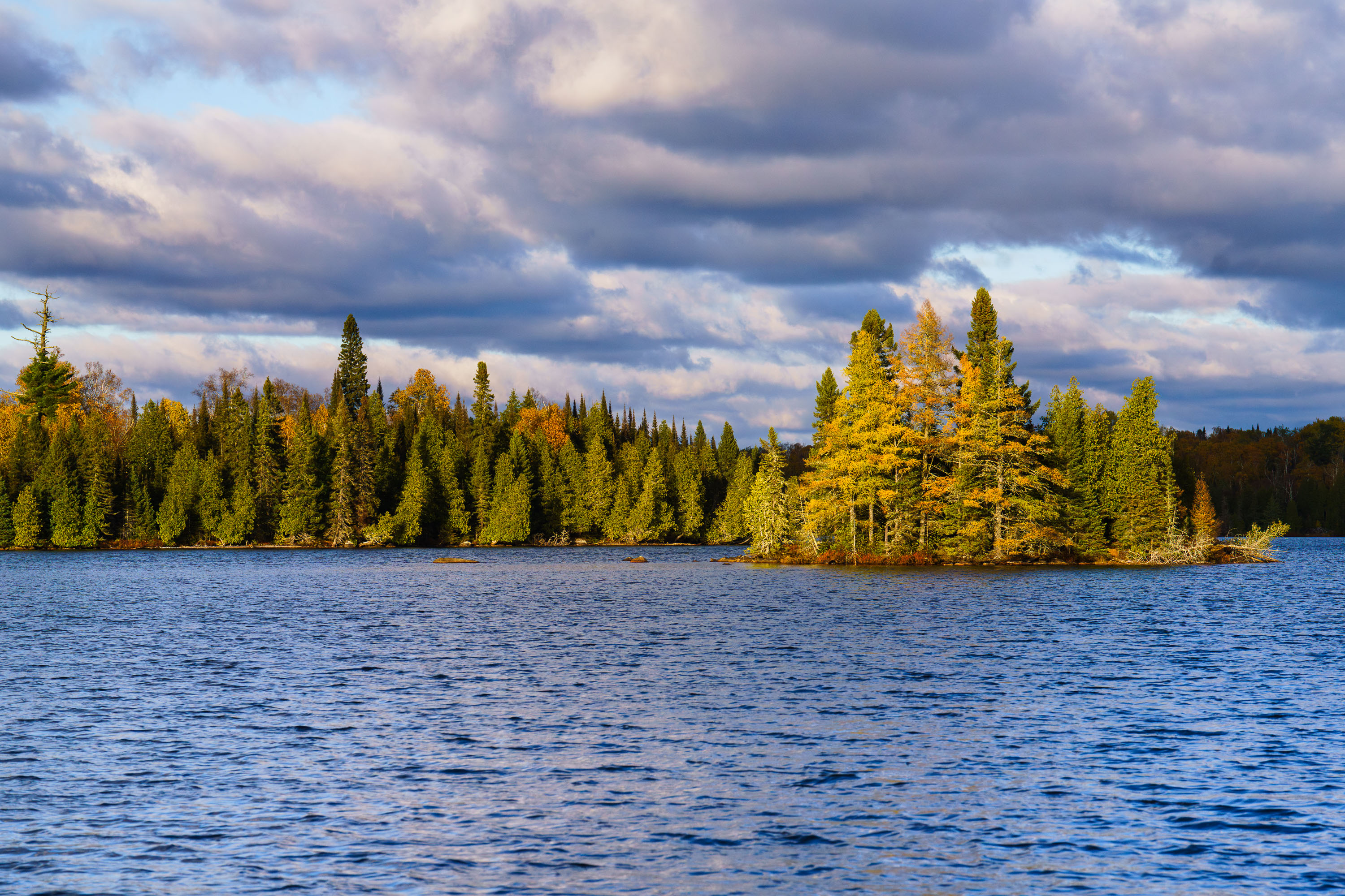
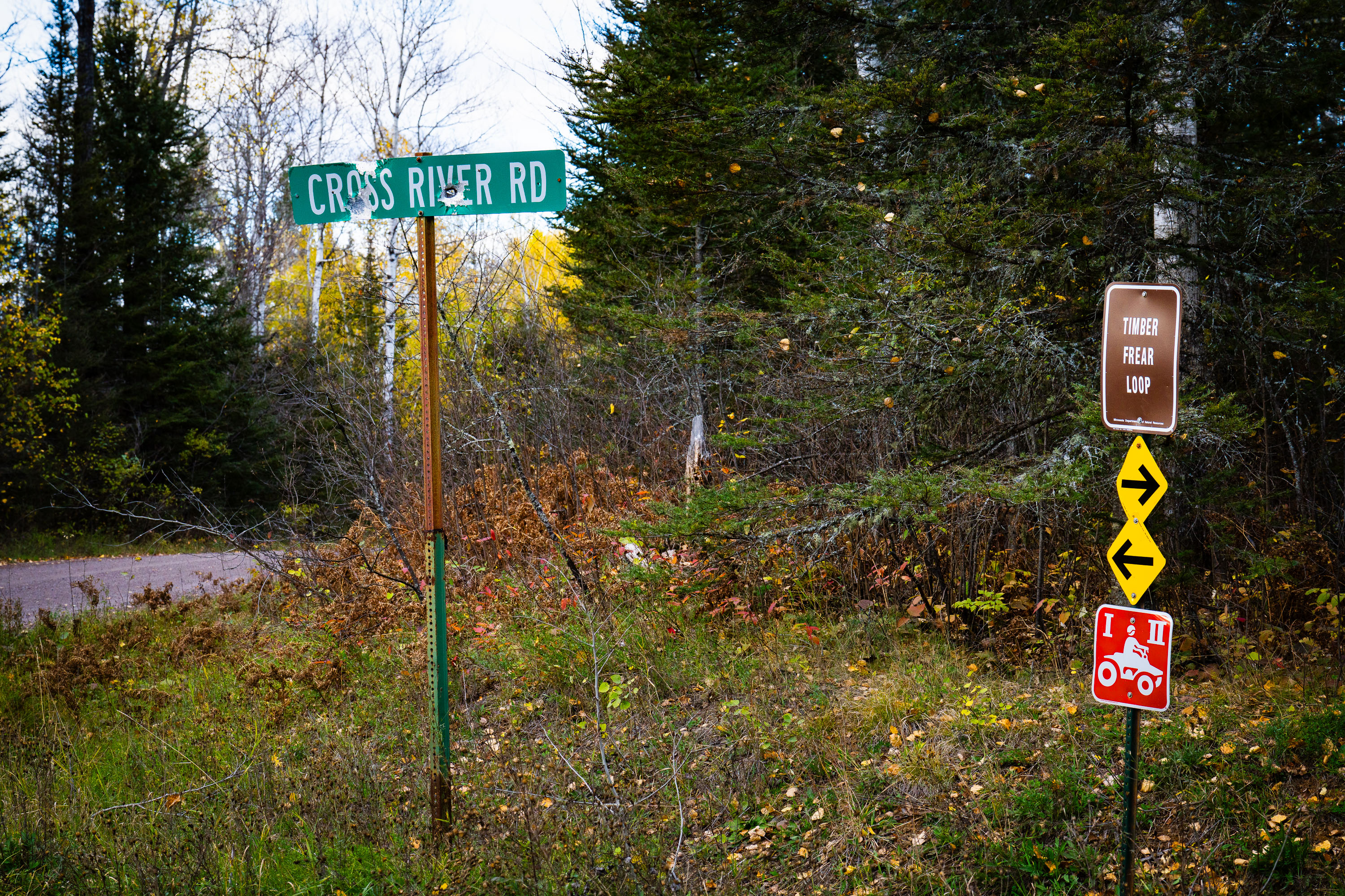
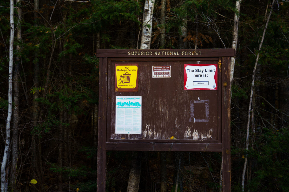
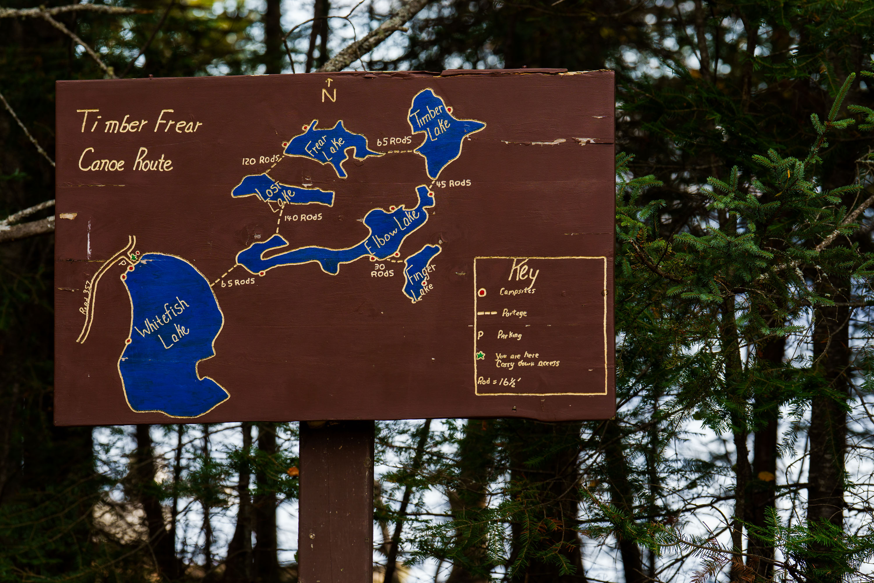
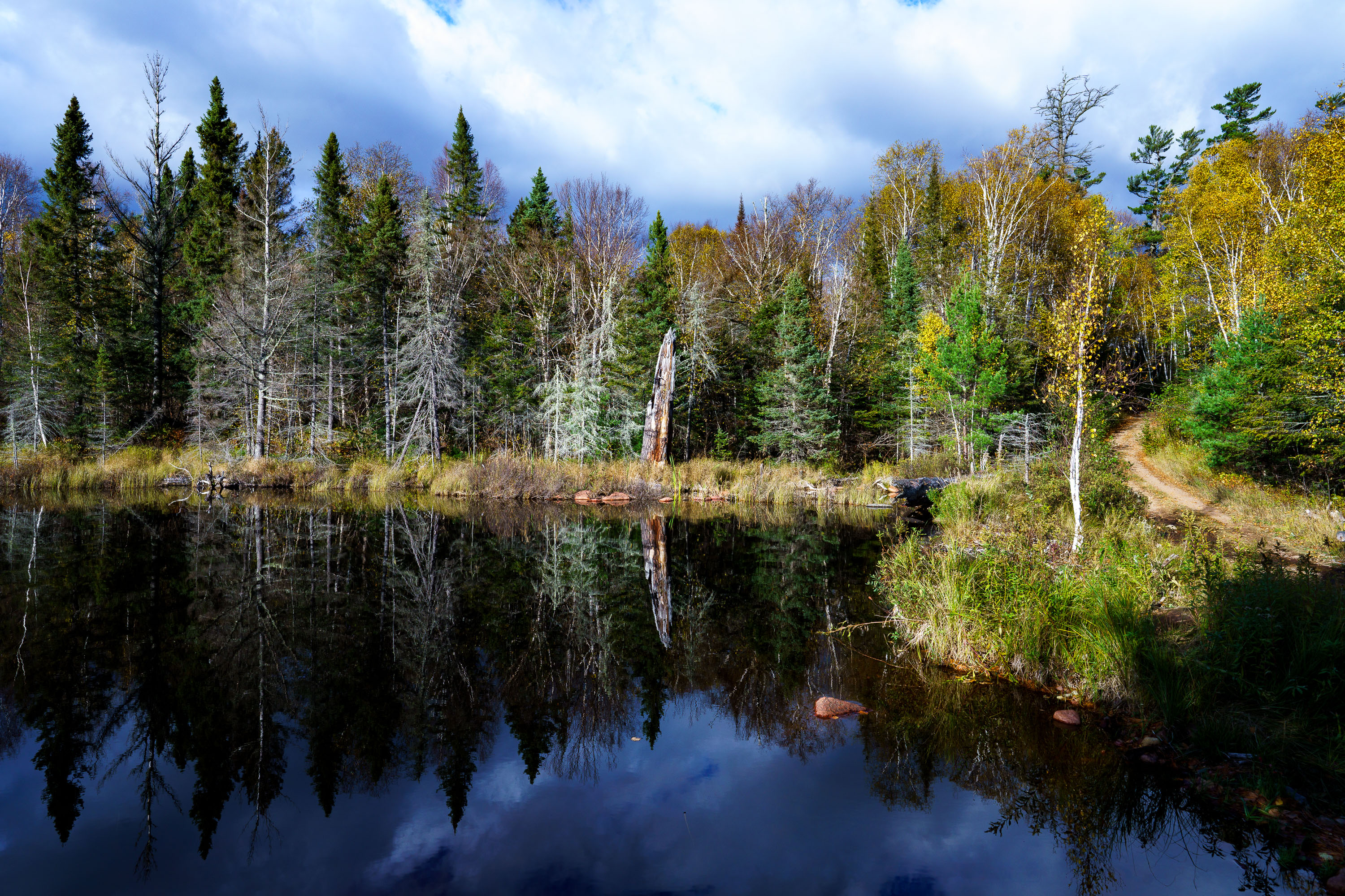
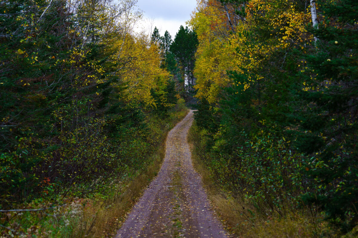
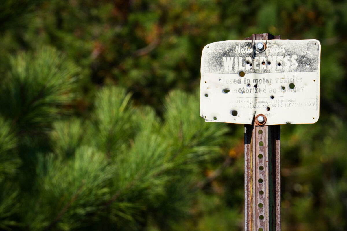
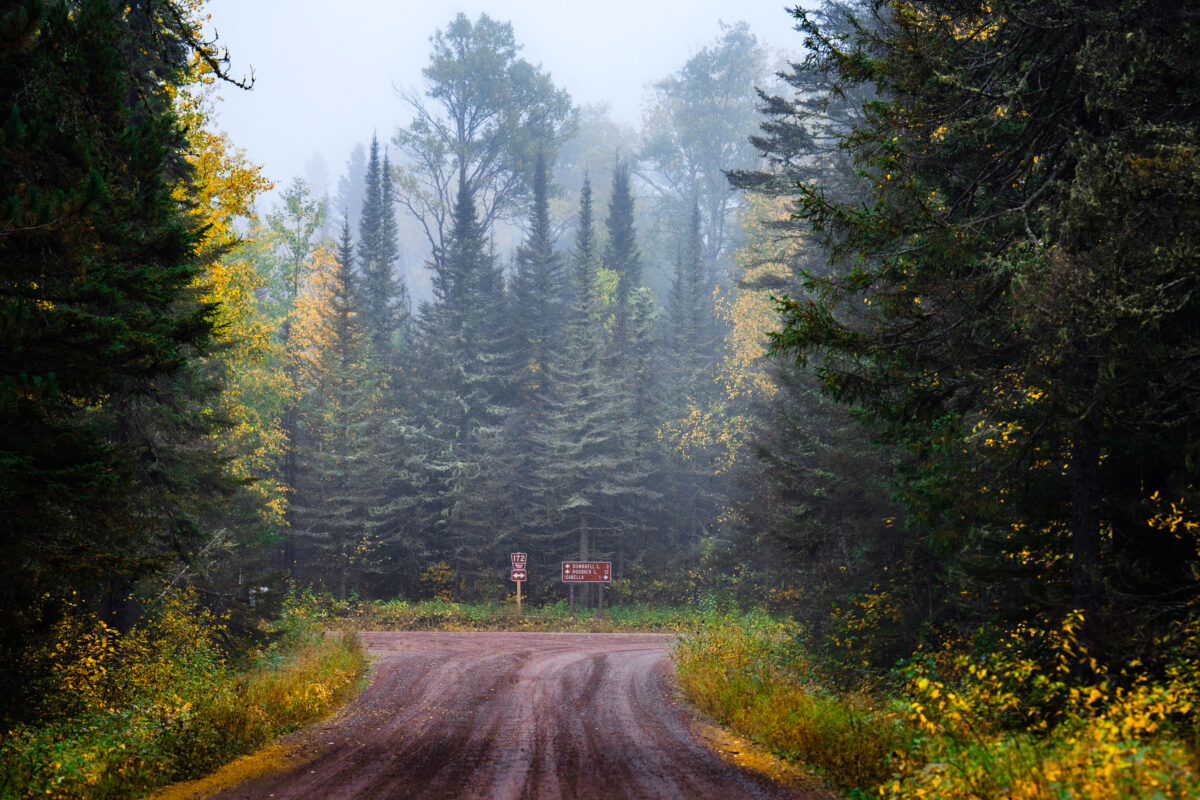
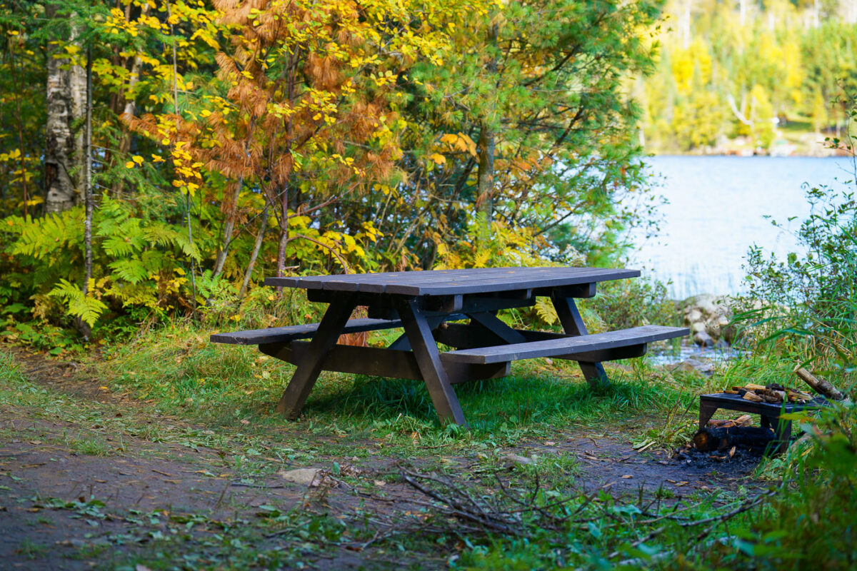
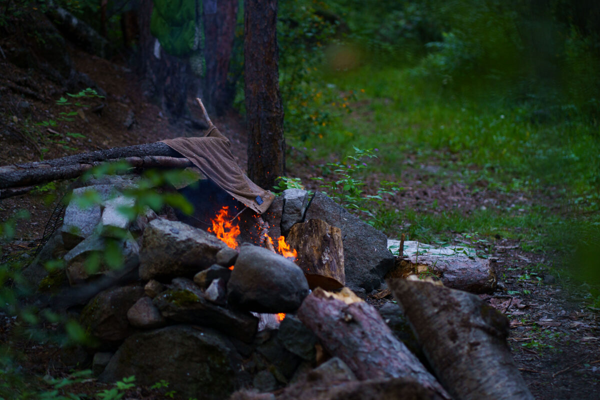
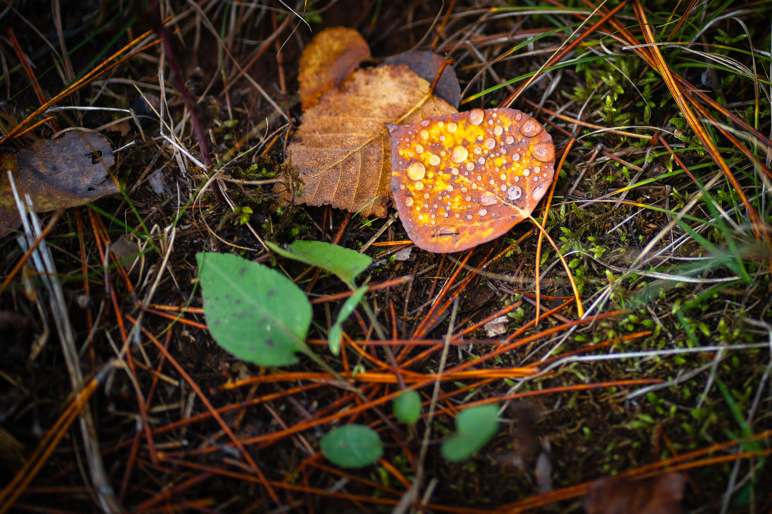
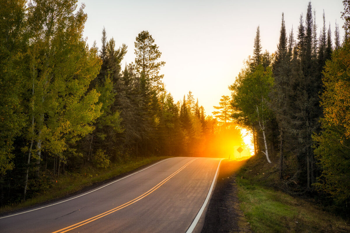
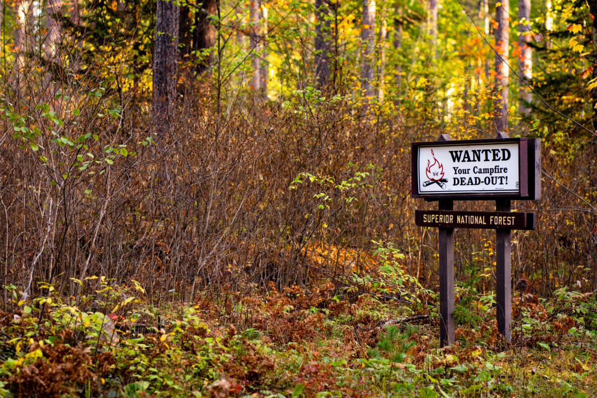
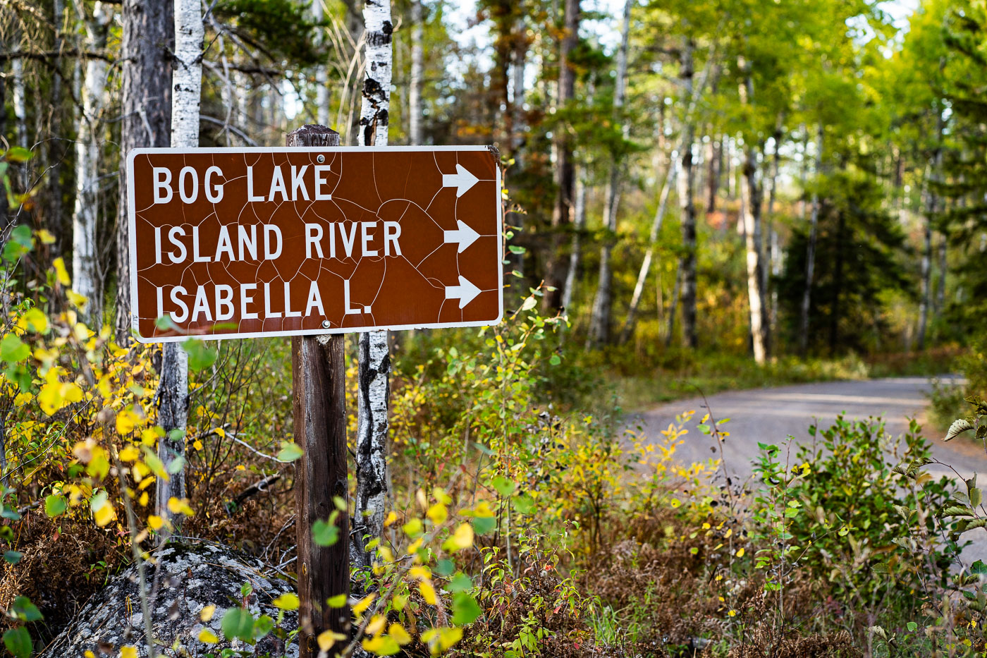
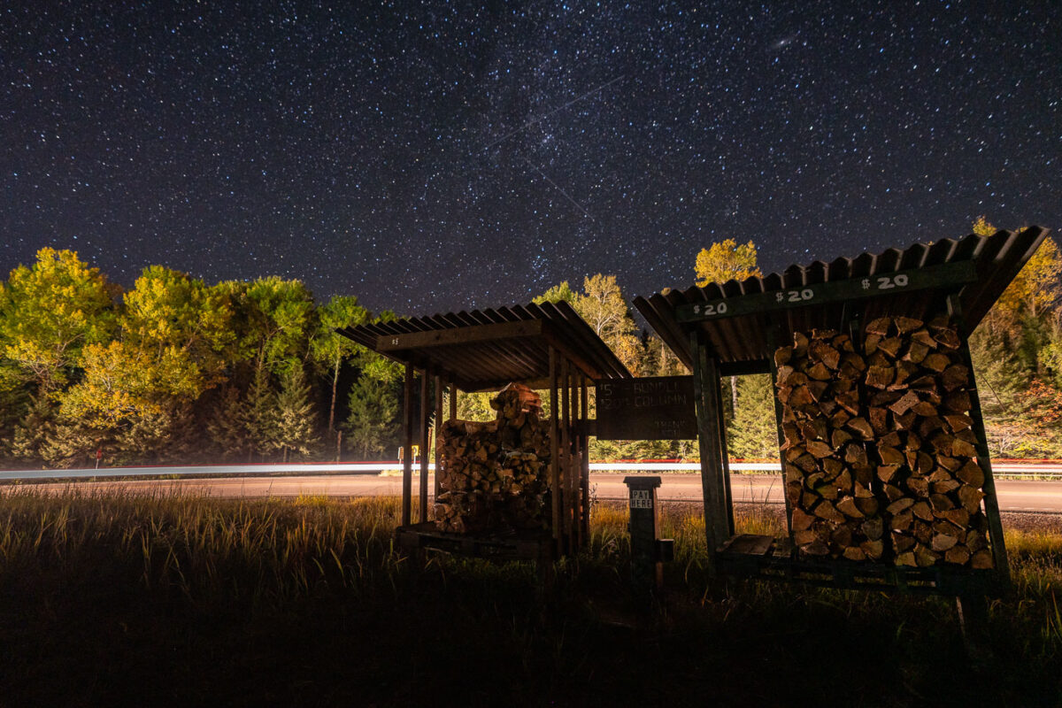
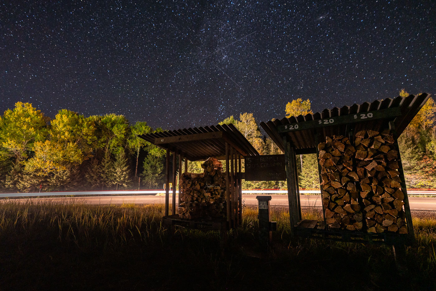
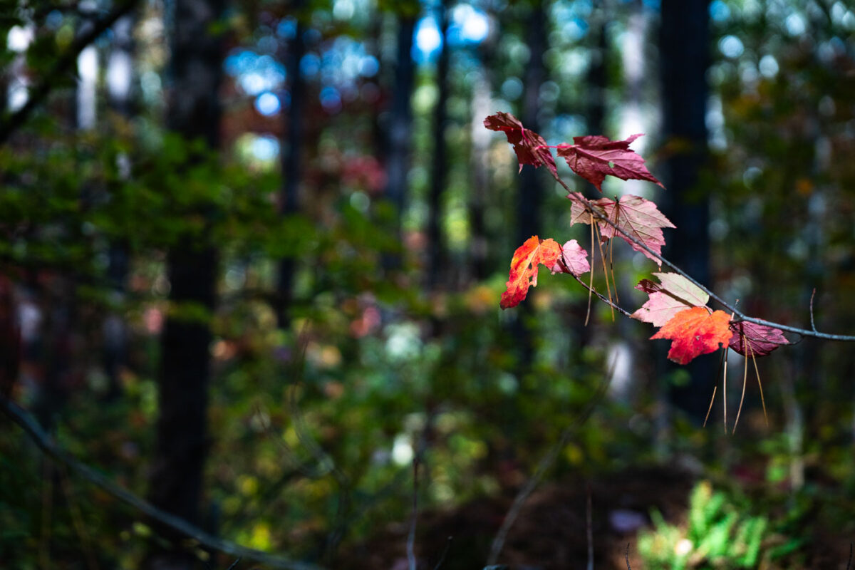
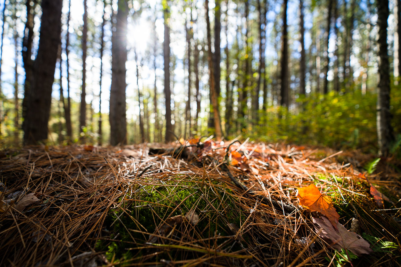
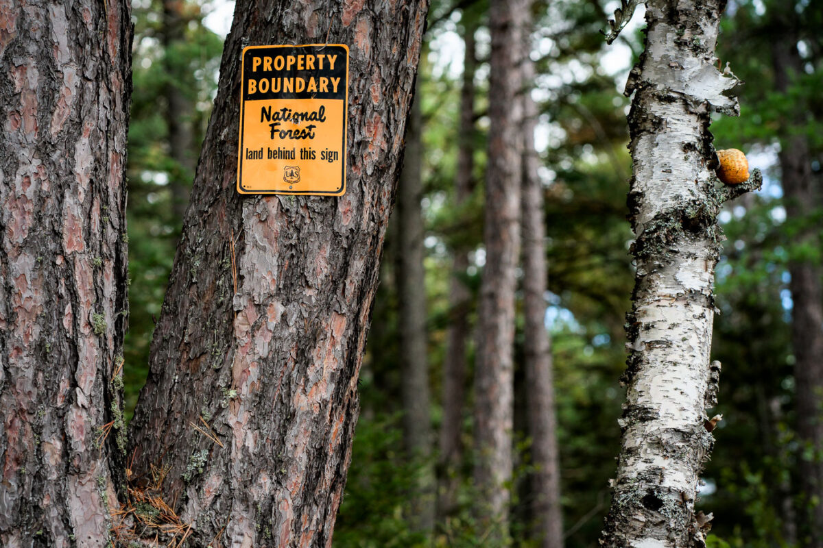
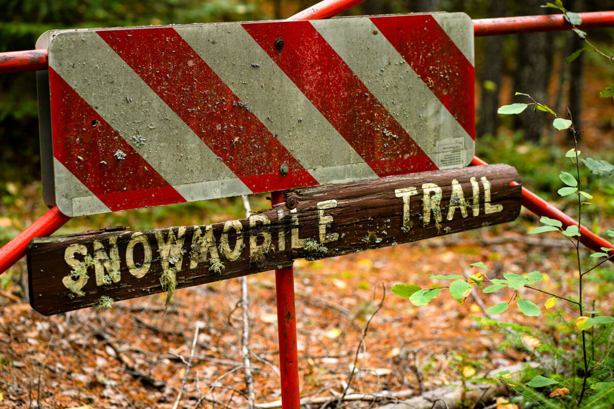
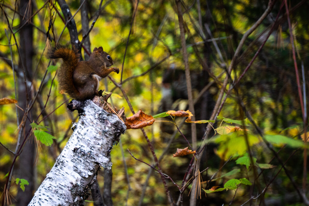
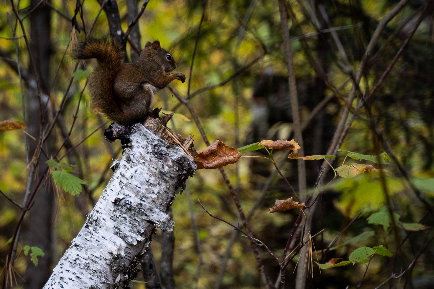
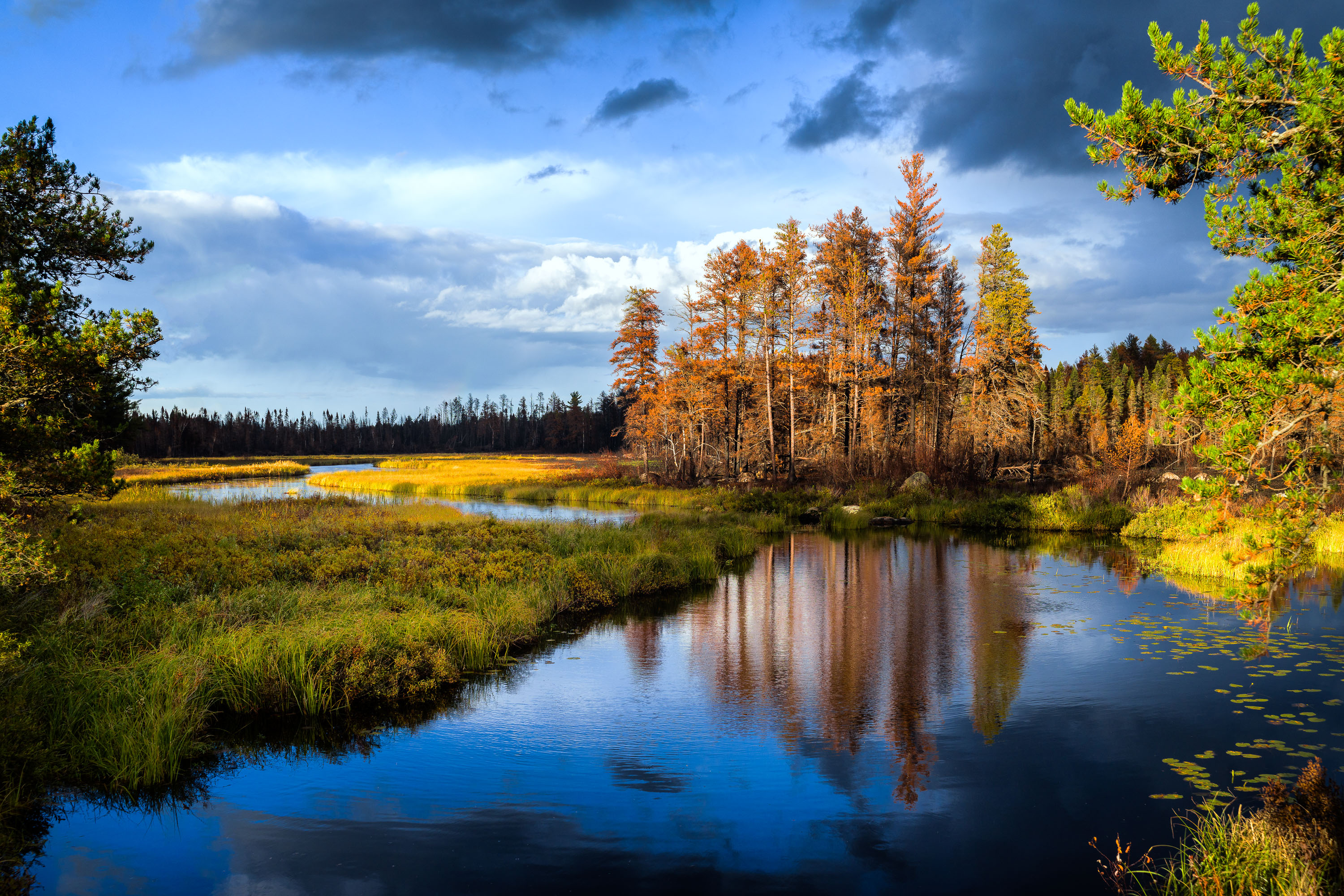
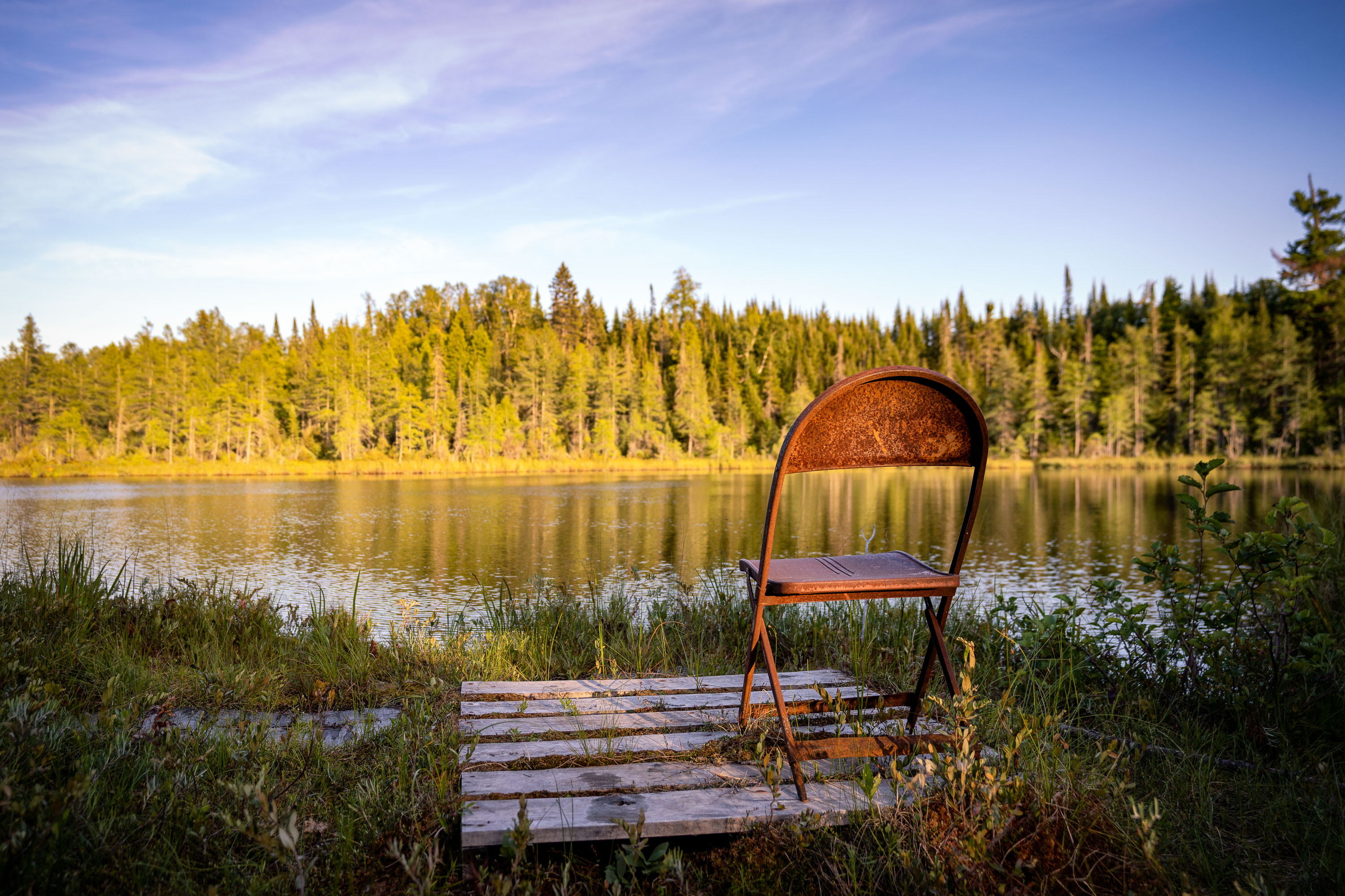
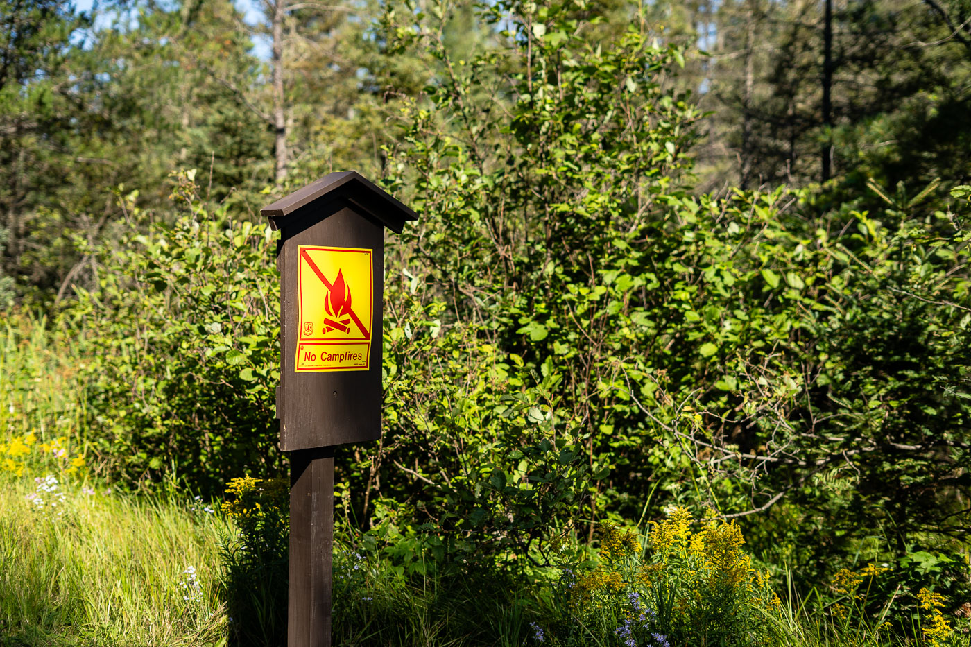
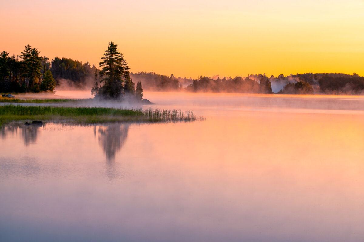
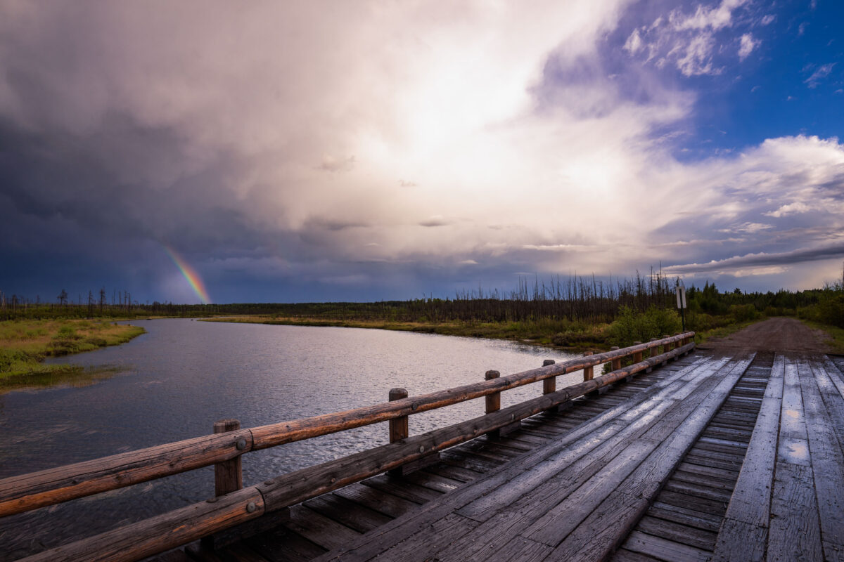
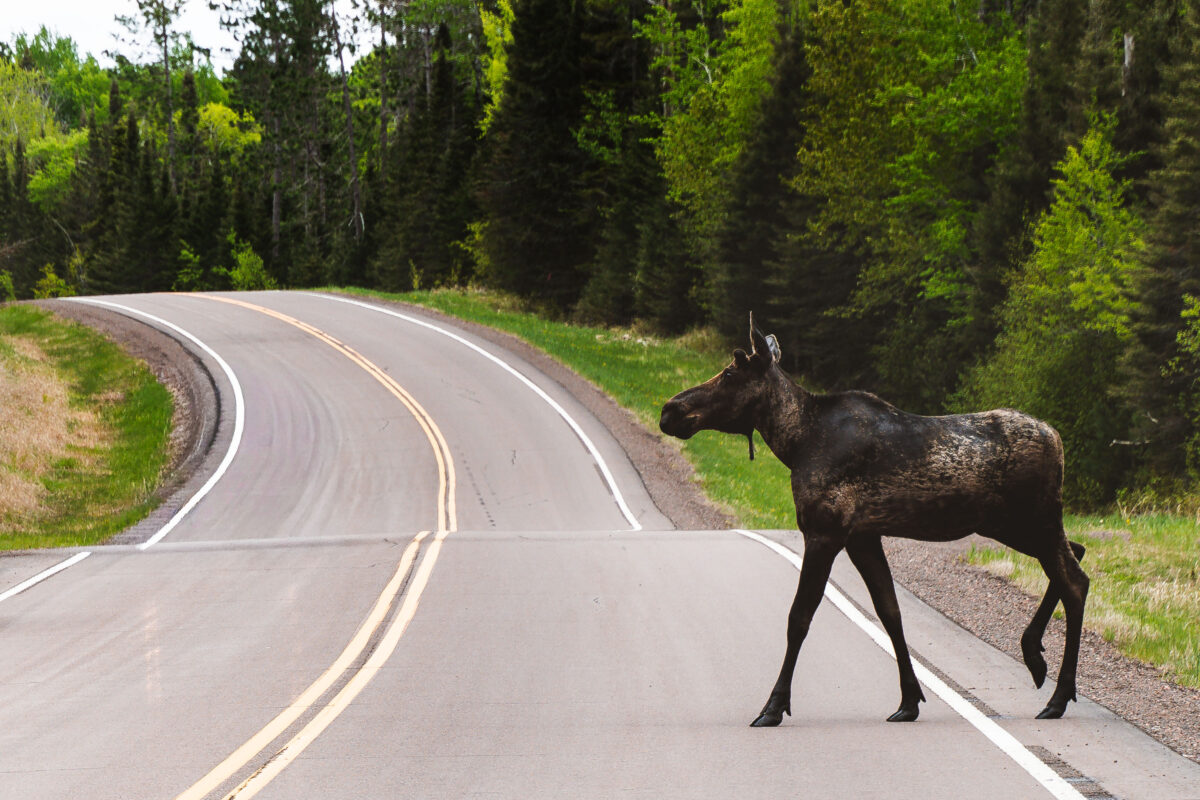
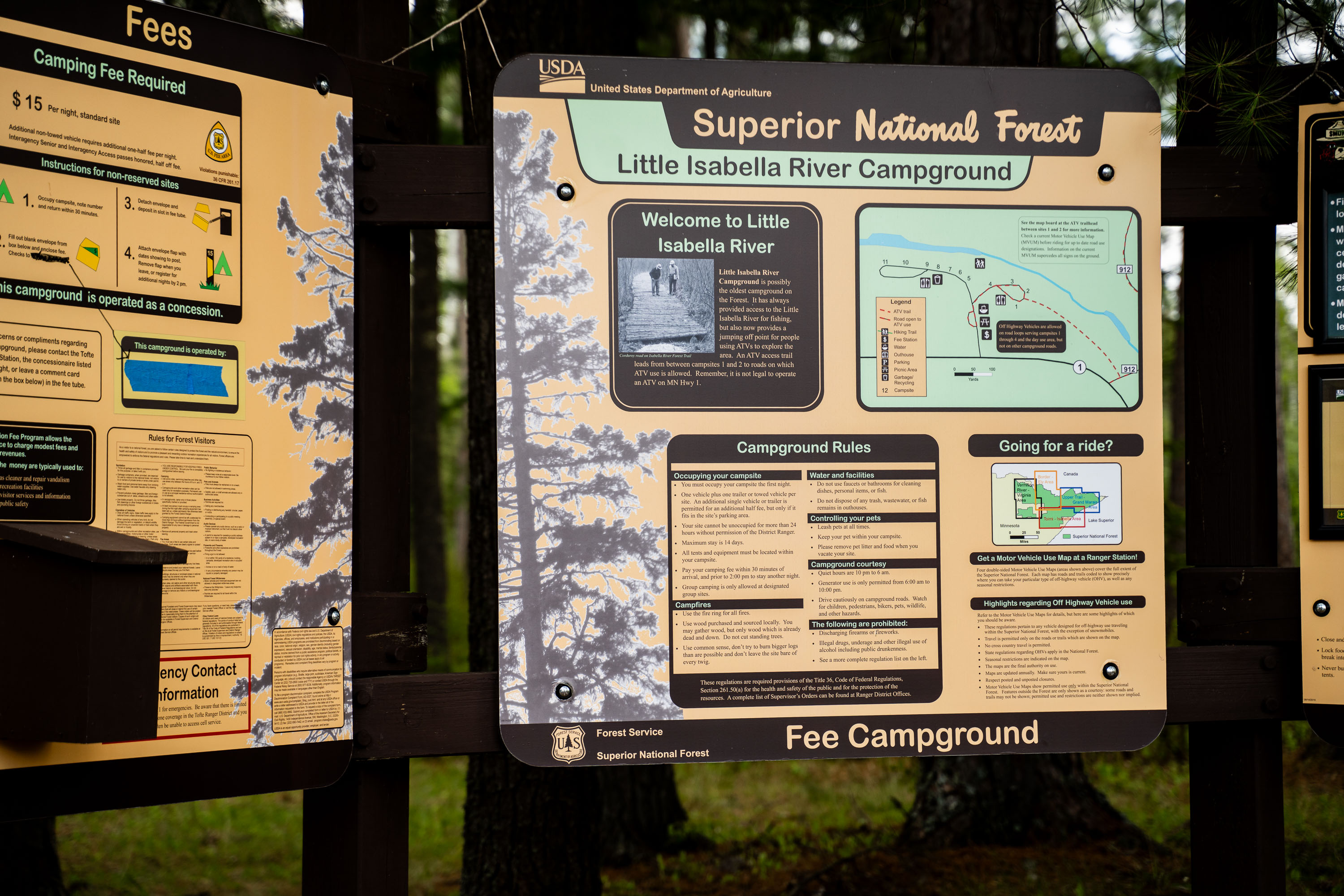
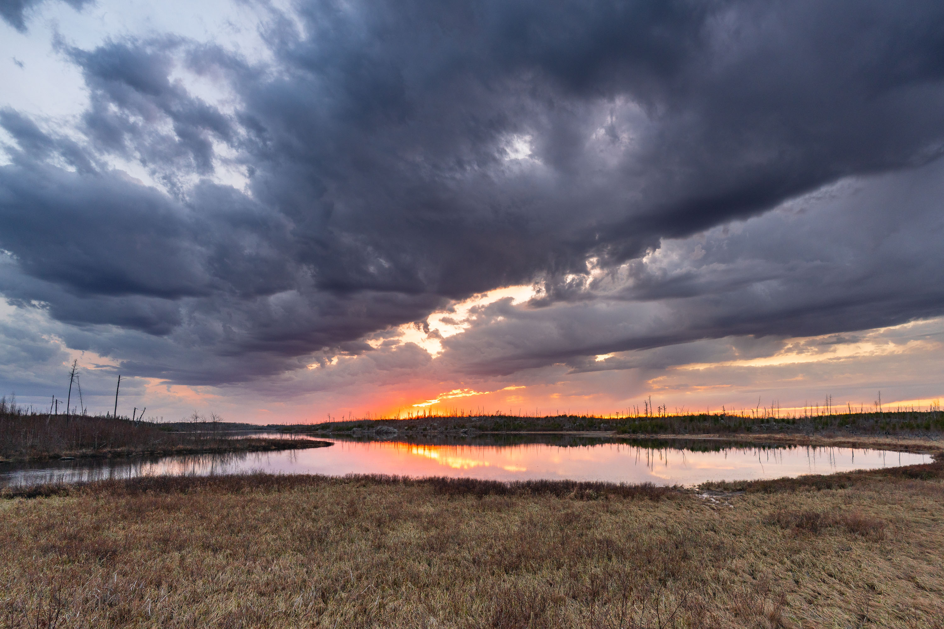
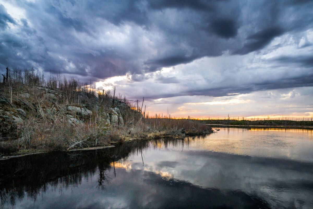
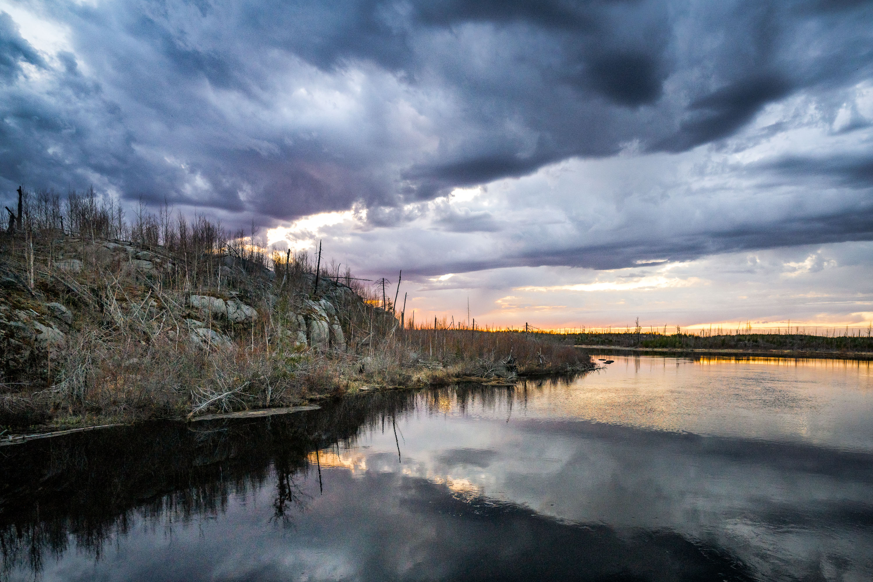
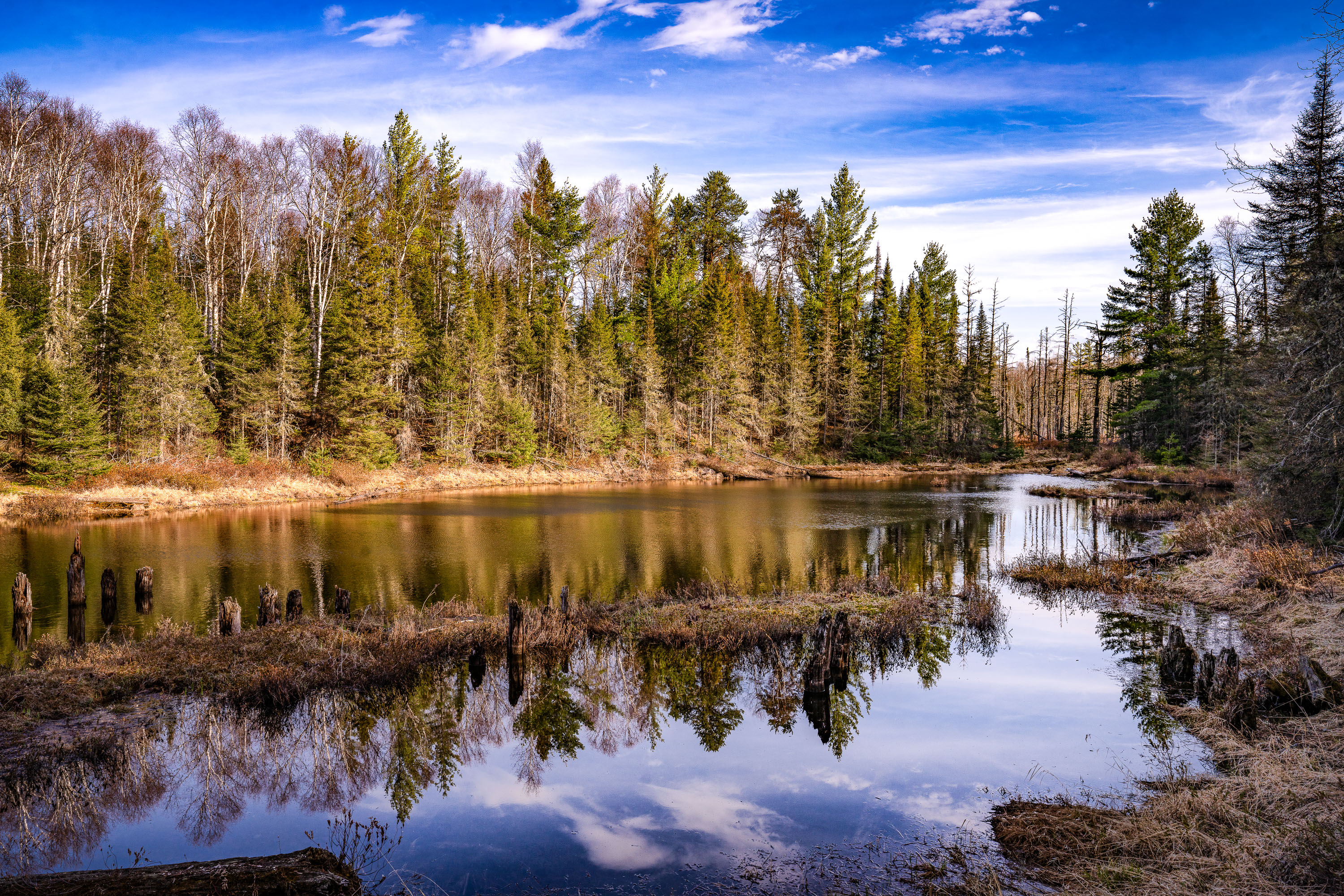
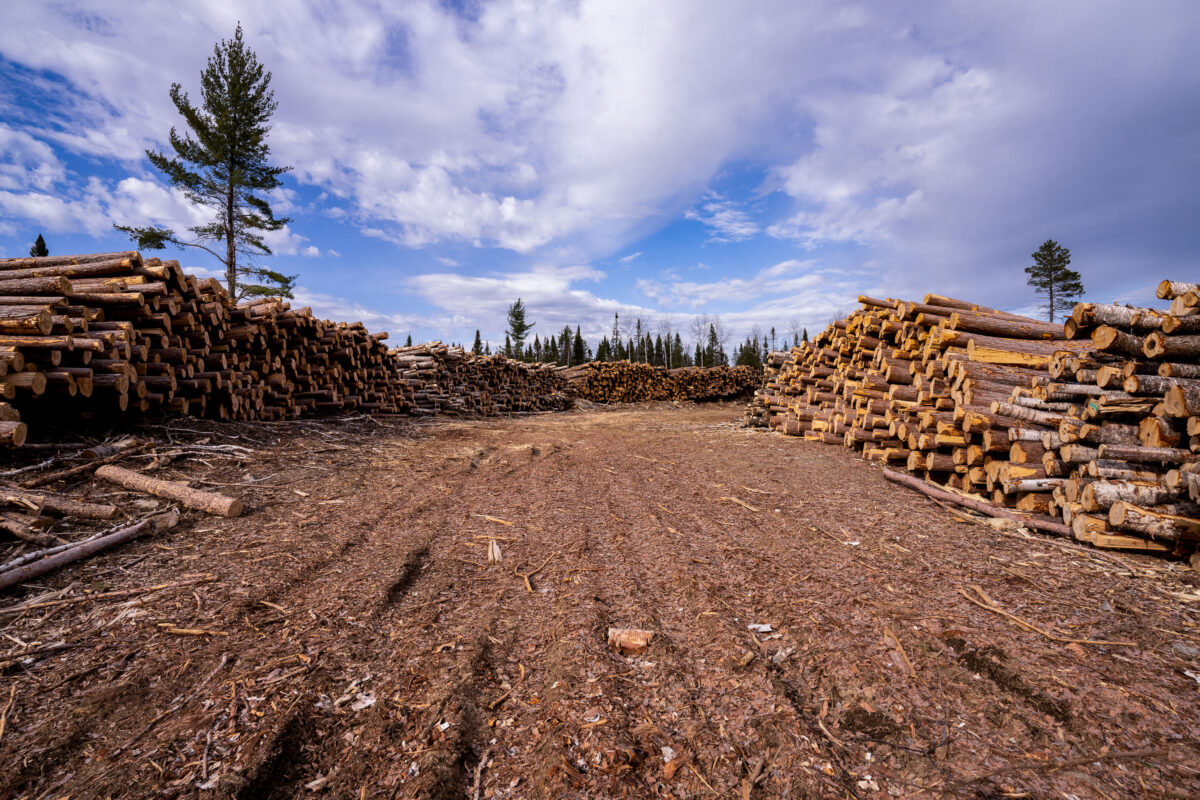
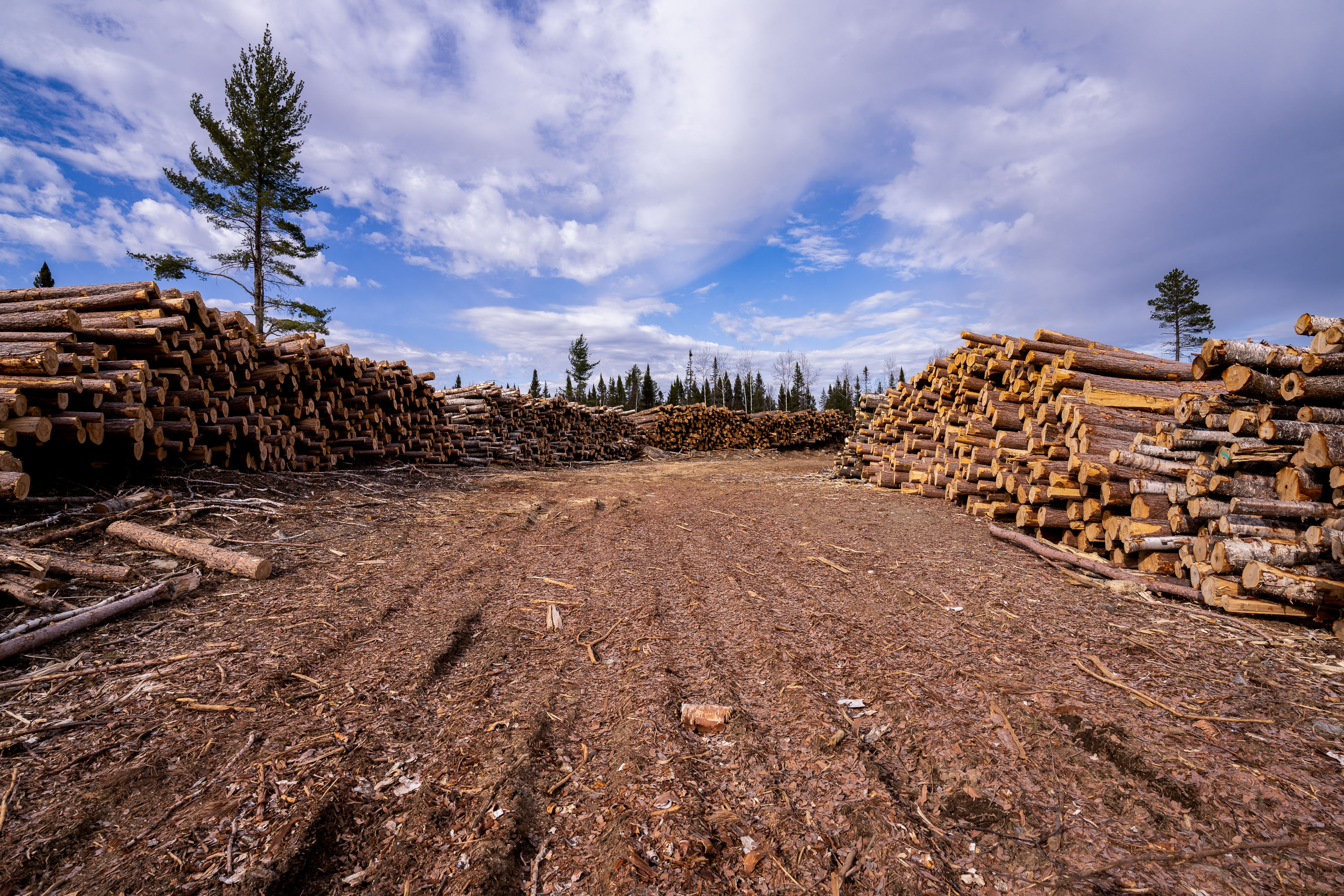
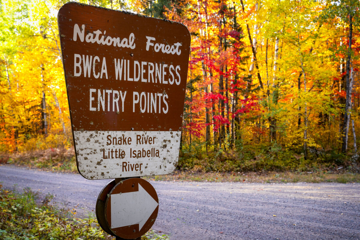
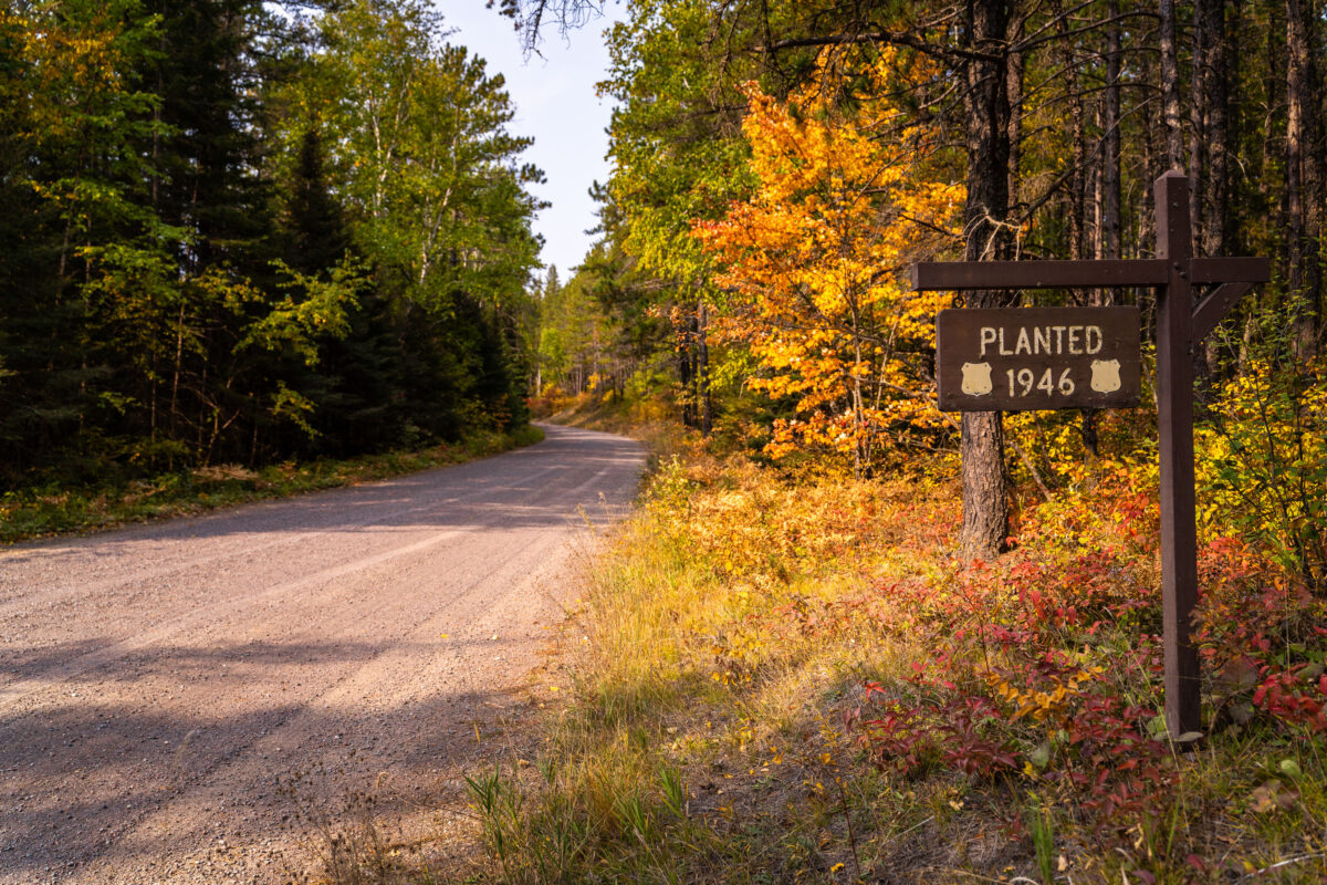
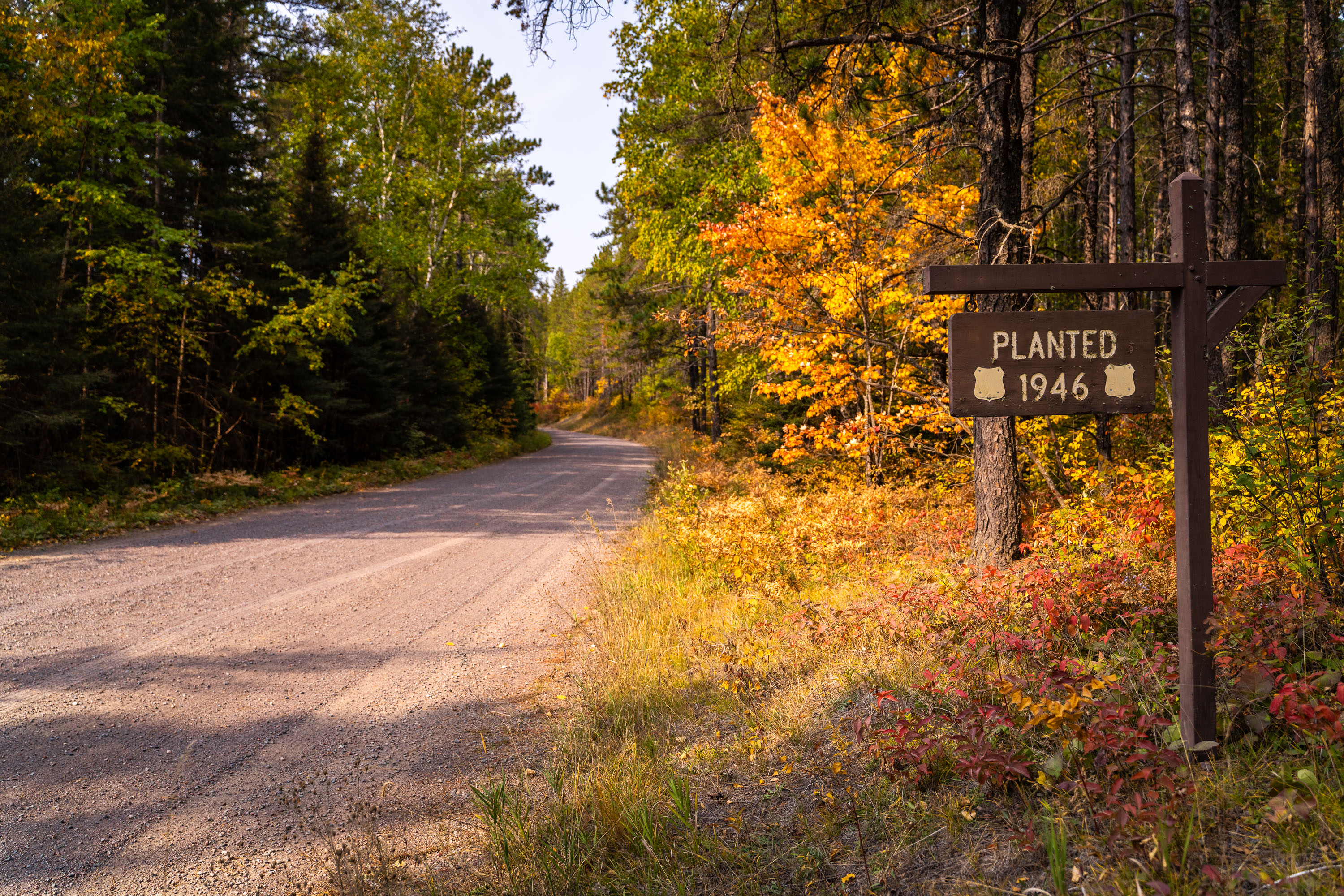
Images from the Superior National Forest showing landscapes, access corridors and forest management work
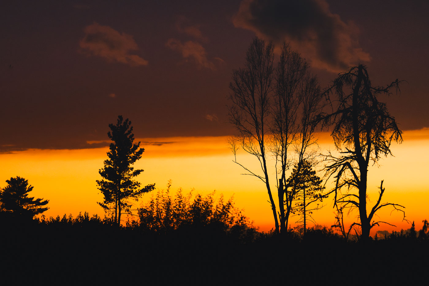
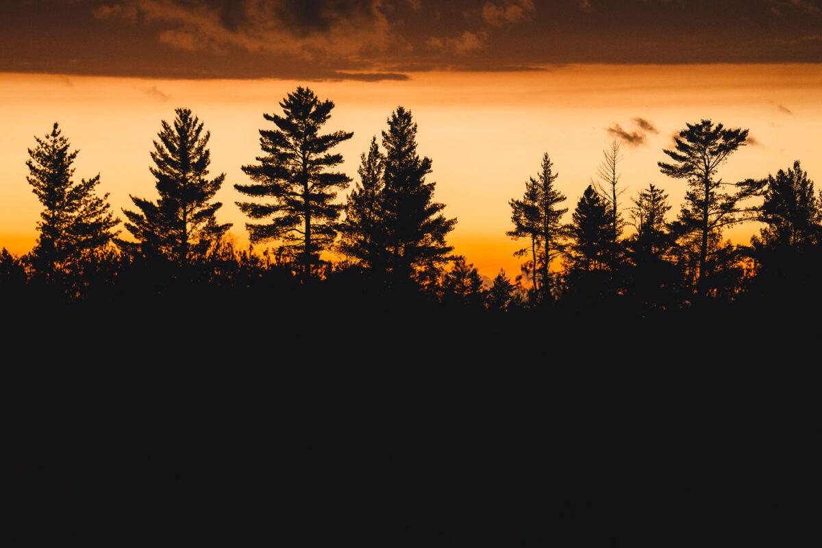
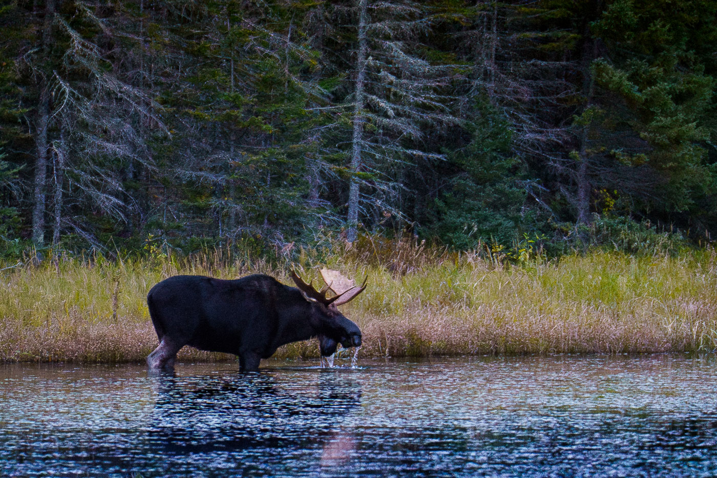
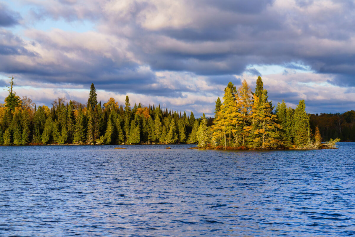
Photographs from my years of visiting the Superior National Forest in Northern Minnesota. This is one of my favorite places in the state and a place I try and get to a few weeks every year.
35 photos
Map
October 6, 2024 — The West Baptism River flows through the Superior National Forest near Isabella, Minnesota. This waterway is part of the Boundary Waters Canoe Area Wilderness, a protected region known for its pristine lakes and rivers. The forest itself is a significant ecological area, supporting diverse wildlife and showcasing the natural beauty of the North Shore region. The river's name is believed to originate from early European explorers or missionaries who may have performed baptisms in its waters.October 6, 2024 — A gravel road winds through the Superior National Forest in northern Minnesota during autumn. This forest, established in 1932, encompasses over 3 million acres and is the largest national forest east of the Mississippi River. It is renowned for its vast wilderness, including the Boundary Waters Canoe Area Wilderness, and serves as a critical habitat for diverse wildlife. The road provides access for visitors to explore the forest's natural beauty and recreational opportunities, particularly during the fall foliage season.October 5, 2024 — The Milky Way galaxy is visible above the treeline of the Superior National Forest in Minnesota, near the Boundary Waters Canoe Area Wilderness (BWCAW). Established in 1964, the BWCAW protects over a million acres of lakes and forests, preserving a pristine natural environment. This region's minimal light pollution makes it an ideal location for astronomical observation, offering unobstructed views of the cosmos. The vast wilderness of the Superior National Forest has been a protected area since 1909, safeguarding its natural character for future generations.October 5, 2024 — Sunset in the Superior National Forest in Northern Minnesota.October 5, 2024 — Sunset in the Superior National Forest in Northern Minnesota.October 13, 2023 — A bull moose stands in the shallow water of a lake in the Superior National Forest, Minnesota, drinking in October 2023. The dense boreal forest forms the backdrop to the tranquil waters where the animal is foraging.
This image documents a common sight within the protected wilderness area, which is known for its extensive lake systems and abundant wildlife. The Superior National Forest is a vital habitat for moose populations in the region, supporting ecological balance and offering opportunities for wildlife observation.October 13, 2023 — Richey Lake is visible in the Superior National Forest, Northern Minnesota, under a dramatic, cloud-filled sky in October 2023. The image shows a body of water with a tree-lined shore and a small, wooded island.
The Superior National Forest is a protected area in northeastern Minnesota known for its wilderness and extensive lake systems. This photograph captures the natural landscape during the autumn season, highlighting the transition of foliage colors amidst the evergreen trees.October 13, 2023 — A green sign reads "CROSS RIVER RD". Nearby, a brown sign indicates "TIMBER FREAR LOOP" with directional arrows and a red sign featuring a white silhouette of an ATV rider. The signs are situated along a gravel road surrounded by dense forest and autumnal foliage in the Superior National Forest, Minnesota.October 13, 2023 — A weathered wooden signpost at Whitefish Lake Campground in Superior National Forest, Minnesota, displays regulations including 'NO Garbage Service Please Pack it OUT!' and 'The Stay Limit here is: 14 Days'. The sign also includes information about welcoming visitors to the national forests and general rules for their use. The photograph was taken in October 2023, amidst the dense boreal forest characteristic of Northern Minnesota. This sign serves as a directive for campers and visitors, emphasizing self-sufficiency and adherence to the U.S. Forest Service's guidelines for managing public lands. The presence of the stay limit indicates a regulated approach to resource management and visitor access within the campground. Campground, Minnesota, Sign, Superior National Forest, Whitefish Lake, Camping Regulations, Public LandsOctober 13, 2023 — A hand-painted map on a wooden sign details the Timber Frear Canoe Route in Minnesota's Superior National Forest. The map illustrates interconnected lakes including Whitefish Lake, Frear Lake, and Elbow Lake, with portage distances and campsite locations marked. A key explains symbols for campsites, portages, parking, and the user's current location.October 13, 2023 — Autumn foliage lines the shore of a lake in Superior National Forest, Minnesota. The forest, established in 1932, is a protected area known for its wilderness and natural beauty.October 13, 2023 — A dirt road winds through the Timber Frear Loop in Minnesota's Superior National Forest during autumn. The path is covered with fallen leaves, and the surrounding trees display vibrant yellow and green foliage.October 1, 2023 — A weathered sign in the Superior National Forest, Boundary Waters, reads "WILDERNESS" and "Closed to motor vehicles and motorized equipment." The sign also states, "It is the policy of this sign manager and protected by Law (16U.S.C. 1131-1136) that it is unlawful to disturb or damage this sign."
The Boundary Waters Canoe Area Wilderness is a federally designated wilderness area in Minnesota, managed by the U.S. Forest Service. Its designation protects the area from commercial development and motorized use, preserving its natural character for primitive recreation.October 1, 2023 — A gravel road winds through the dense coniferous forest of Superior National Forest near Isabella, Minnesota. Signs indicate Route 172 and directions to Dumbbell Lake and Hogback Lake. The autumn foliage is visible amidst the evergreen trees, with fog obscuring the distance.August 21, 2022 — A campfire burns within a stone fire pit in Superior National Forest, Minnesota. A brown towel is draped over a log near the flames, and smoke rises into the surrounding trees. The photograph was taken in August 2022.
Superior National Forest is a protected wilderness area in northeastern Minnesota, known for its vast forests, lakes, and recreational opportunities. Campfires are a common feature of camping and outdoor activities within the forest, providing warmth and a focal point for gatherings. This image documents a typical camping experience in the region during the summer season.October 16, 2021 — A dewy aspen leaf lies among pine needles and moss in Superior National Forest, Minnesota. The close-up shows water droplets on the leaf and forest floor vegetation after rain or morning moisture.September 27, 2021 — A stretch of forest road in Superior National Forest glows with intense backlight as the sun drops behind the pines, illuminating early-autumn leaves and sending a warm haze across the pavement. This part of the forest lies within the vast Northwoods region of northeastern Minnesota, where mixed stands of birch, aspen, and conifers line quiet two-lane roads leading toward trailheads, lakes, and remote campgrounds. The soft golden light, drifting insects, and dense treeline capture the transition from late summer to fall in one of Minnesota’s most expansive public landscapes—an area managed for recreation, wildlife habitat, and long-term conservation.September 27, 2021 — A campfire safety sign stands in Superior National Forest in Stony River Township, Minnesota. The sign reads, “Wanted your campfire DEAD-OUT!” and warns visitors to fully extinguish campfires before leaving the area.September 27, 2021 — A weathered brown U.S. Forest Service directional sign marks the turnoff for Bog Lake, the Island River, and Isabella Lake within Superior National Forest in northern Minnesota. These destinations sit along a network of remote gravel roads east of Ely and north of Isabella, an area known for its mixed pine–birch forest, quiet canoe routes, and access to the Boundary Waters Canoe Area Wilderness. The cracked reflective surface of the sign hints at decades of harsh winters and summer sun, while the surrounding understory—changing with early autumn color—reflects the rugged, lightly traveled character of this part of the Northwoods.September 26, 2021 — A small roadside firewood stand sits quietly beneath a star-filled sky near Isabella in northern Minnesota, a gateway community to the Superior National Forest. These honor-system stands are common throughout the Northwoods, supplying bundled campfire wood to travelers headed toward nearby campgrounds, trailheads, and remote lake cabins. Long-exposure headlights from passing vehicles streak across the background, contrasting with the stillness of the surrounding forest and the clear autumn night above.September 25, 2021 — A small branch of maple leaves shows the first vivid signs of autumn deep within Superior National Forest in northern Minnesota. Early-season reds stand out against the darker greens and shadows of the surrounding pine-hardwood understory, a characteristic mix of the region’s boreal and temperate forest types. The shallow depth of field highlights the delicate transition of the season—one of the defining visual markers of fall in the Northwoods.September 25, 2021 — A U.S. Forest Service property boundary sign marks the transition onto Superior National Forest land in northern Minnesota. Signs like this one are posted throughout the region to indicate where federally managed forest begins—part of a system established after the forest’s creation in 1909 to protect timber resources, waterways, and wilderness habitat. Much of Northern Minnesota’s public land is a patchwork of federal, state, county, and private parcels, making boundary markers a practical guide for hunters, hikers, and anyone navigating the extensive backcountry.September 25, 2021 — An aging “Snowmobile Trail” sign stands along a forested route in Stony River Township in northern Minnesota, an area threaded with seasonal trails maintained for winter travel. Much of this region lies within or near the Superior National Forest, where snowmobile corridors connect remote townships, logging roads, and unpaved access routes used throughout the winter months. Signs like this—often weathered, lichen-covered, and mounted on repurposed road barricades—reflect the long history of recreational and utility snowmobiling in northern Minnesota, where deep snow and long winters have shaped a network of informal and designated trails since the mid-20th century.September 25, 2021 — A red squirrel (Tamiasciurus hudsonicus) perches on a fallen birch log within the Superior National Forest in Minnesota. This forest, established in 1909, encompasses over one million acres of wilderness, including vast tracts of boreal forest and numerous lakes. It is a critical habitat for a diverse range of wildlife, including various squirrel species, and plays a significant role in regional biodiversity and ecological health. The forest is managed by the U.S. Forest Service and is a popular destination for outdoor activities.September 24, 2021 — Sand River in Superior National Forest near Isabella, Minnesota. Autumn light illuminates the river bends, wetland grasses, and mixed conifer and hardwood forest under a partly cloudy sky.August 14, 2021 — A chair at Jouppi Lake near Isabella, Minnesota.August 14, 2021 — The South Kawishiwi River near Ely, Minnesota. Forest region of northeastern Minnesota, where calm water and low fog are common in early daylight.May 30, 2021 — A rainbow appears over Isabella Lake in Superior National Forest, Minnesota, beside a wooden bridge and road crossing. Storm clouds and brighter sky divide the horizon above the water and forest.May 30, 2021 — A moose crosses Highway 1 near Isabella in the Superior National Forest.May 30, 2021 — Little Isabella River Campground in Superior National Forest is shown on a Forest Service information board. The sign lists campground rules, fees, and a map of the site near Lake Isabella River.May 1, 2021 — Island River in Minnesota’s Superior National Forest at sunset. Dark storm clouds hang over the wetland landscape while the low sun reflects in the water.May 1, 2021 — Dumbbell Road runs through Superior National Forest near Isabella, Minnesota. A still pond reflects the surrounding conifers and leafless trees under a partly cloudy sky.May 1, 2021 — Log piles in Superior National Forest in Stony River Township near Isabella, Minnesota. Cut timber is stacked in a clearing, with access tracks running between the piles and conifers along the edge of the site.September 21, 2020 — A sign for the Boundary Waters Canoe Area Wilderness entry points for Snake River and Little Isabella River stands along a forest road in Superior National Forest, Minnesota. The sign marks access to the BWCA, a protected wilderness area in northern Minnesota. Autumn foliage fills the background.September 20, 2020 — Stony River Road in Superior National Forest, Minnesota, curves through mixed forest in early autumn. A roadside sign marks a planted area dated 1946.
Built in Minneapolis
Photographs showcasing change over time
Browse by location, move through long-running series, or start with recent work.