
Minneapolis Skyline and Basilica from Loring Park 2013
June 2013 — Downtown Minneapolis as seen from Loring Park in 2013. Loring Pond and the Basilica to the left.
Explore photos tagged Loring Pond.
June 2013 — Downtown Minneapolis as seen from Loring Park in 2013. Loring Pond and the Basilica to the left.
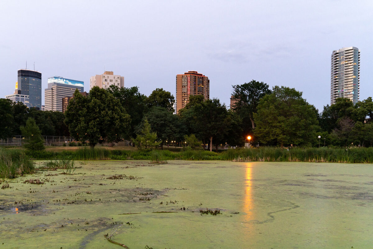
July 2021 — Loring Pond near Downtown Minneapolis

December 2022 — A fresh snowfall settles over Loring Park near downtown Minneapolis, softening the landscape around the park’s pedestrian bridge and historic shelter building. From above, the snow highlights the geometric layout of paths, railings, and terraces surrounding the bridge, which crosses a narrow channel connecting sections of the park’s pond system. Loring Park—a key part of the city’s late-19th-century park plan—remains one of Minneapolis’s most recognizable urban green spaces, bordered by the Loring Greenway and the southern edge of downtown. The new snow creates a uniform winter texture across the lawns, benches, and shoreline vegetation, with only light footprints and plowed walkways hinting at early morning activity in the park.

April 2024 — Dark storm clouds roll over downtown Minneapolis in this view from Loring Park, where the skyline’s mix of glass towers and historic brick buildings rises beyond the park’s quiet pond and reeds. The IDS Center, Capella Tower, and other high-rises dominate the horizon, their reflections muted in the pre-storm light. Taken during early spring, the trees remain bare while the surrounding grass begins to green, creating a striking contrast between nature’s seasonal transition and the geometric permanence of the city skyline.