
Map
More from North Dakota

North Dakota Oil Fields at Night, July 2015
Illuminated by artificial lights, the North Dakota oil fields are visible at night in July 2015. This period marked a…

Charbonneau, North Dakota Grain Elevator and Outbuilding
This wooden grain elevator and adjacent outbuilding stand in Charbonneau, North Dakota, a community that has largely faded into a…

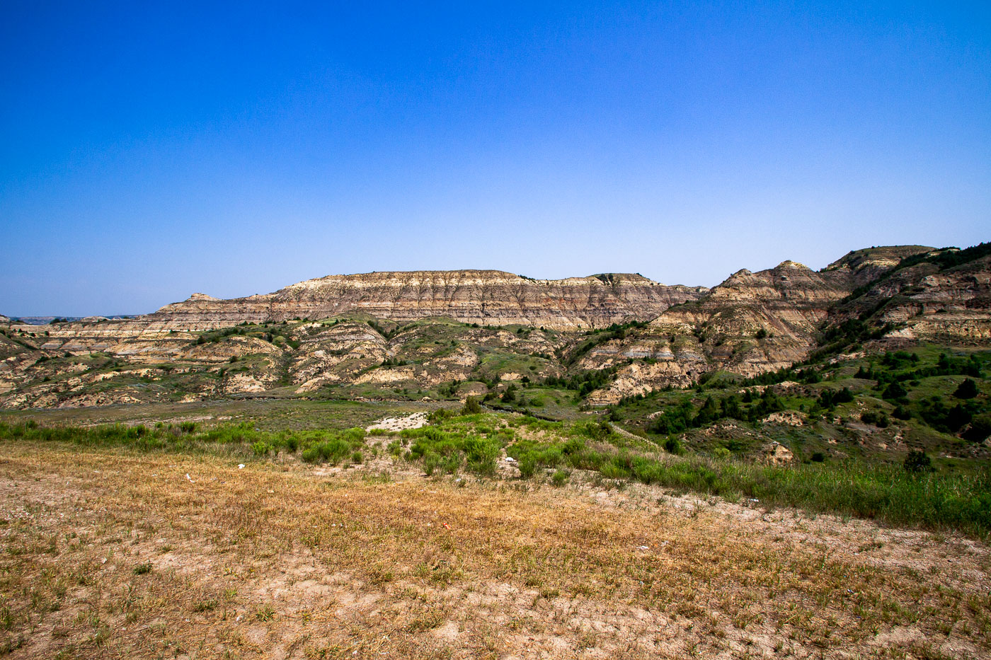
Juniper Campground Road, Theodore Roosevelt National Park
Juniper Campground Road winds through Theodore Roosevelt National Park in North Dakota. The park preserves the rugged badlands landscape that…

Abandoned School in Crystal Springs North Dakota
The former Crystal Springs School, located in Crystal Springs, North Dakota, stands as a relic of a bygone era of…

Highway near Wolford, North Dakota in Haze
A highway stretches into the distance near Wolford, North Dakota, obscured by haze. This atmospheric condition, likely caused by wildfire…

Fort Abraham Lincoln State Park Overlook, Missouri River, North Dakota
Fort Abraham Lincoln State Park overlook offers a panoramic view of the Missouri River in North Dakota. Established in 1878,…