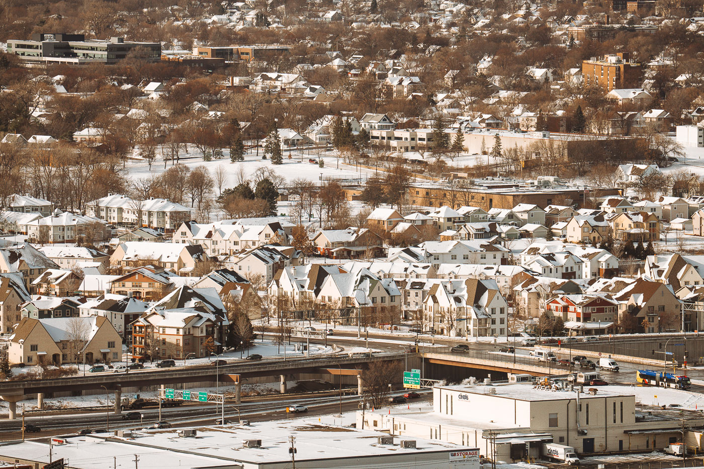
This view looks across the residential neighborhoods bordering Interstate 94 in Minneapolis, an area shaped heavily by mid-20th-century highway construction. When I-94 was built between the 1950s and early 1970s, it cut through several established communities—including parts of Cedar-Riverside, Seward, and Phillips—reshaping street grids, housing patterns, and long-standing cultural districts. The snow-covered homes clustered above the highway reflect a mix of older housing stock and later infill development that emerged after the corridor was completed. The elevated ramps and interchanges shown here connect local streets to one of the region’s primary east–west routes, linking downtown Minneapolis with St. Paul and the wider interstate system.
Photo taken in December 2022.