Theodore Roosevelt National Park

4 photos · 2015–2018

4 photographs tagged Theodore Roosevelt National Park, 2015–2018.
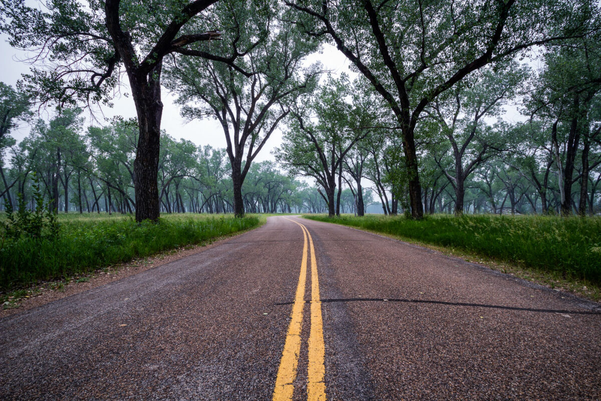
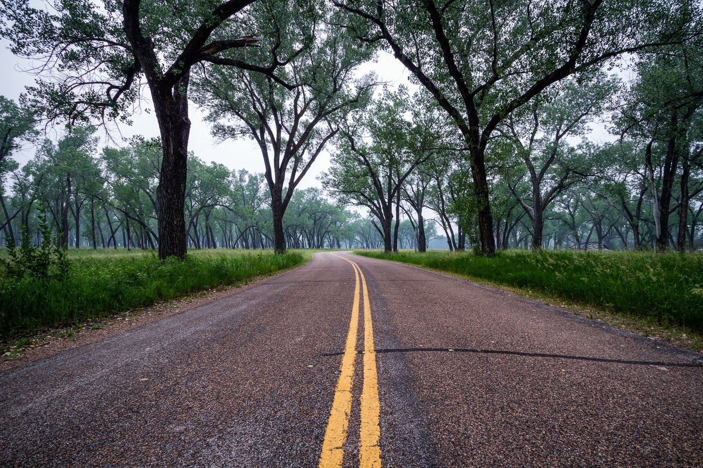
Juniper Campground Road winds through Theodore Roosevelt National Park in North Dakota, lined with tall trees.
Juniper Campground sits in the North Unit of Theodore Roosevelt National Park, along the Little Missouri River in western North Dakota. The cottonwood trees lining its access road grow in the river bottomland, where they find enough groundwater to survive in an otherwise arid badlands climate. Congress first protected this land in 1947 as Theodore Roosevelt National Memorial Park, redesignating it a national park in 1978. The North Unit covers roughly 24,000 acres and sees far fewer visitors than the park's South Unit near Medora.

Cottonwood Canopy Along Juniper Campground Road
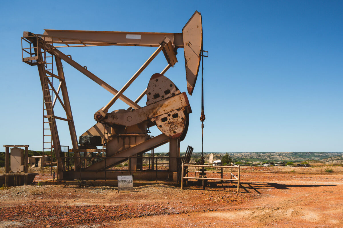
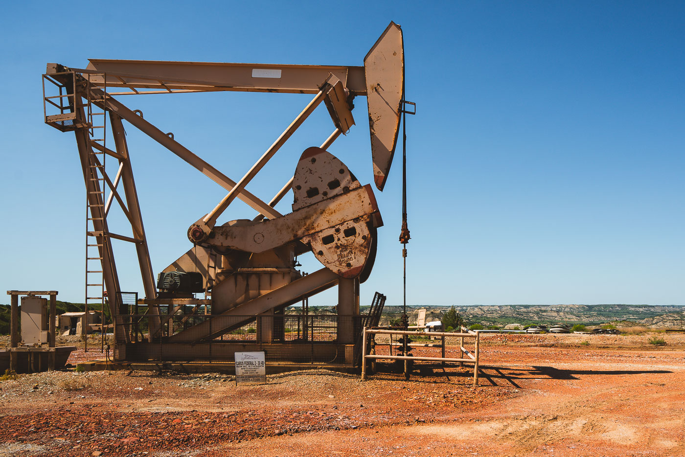
Rusted pumpjack extracting oil in Dunn County, North Dakota under clear sky.
Dunn County sits atop the Bakken formation, one of the largest contiguous oil deposits in the United States, spanning parts of western North Dakota and eastern Montana. The pumpjack converts rotational motion from an electric or gas motor into the vertical pumping action needed to lift crude oil from wells that can run thousands of feet deep. Horizontal drilling and hydraulic fracturing, widely adopted across the Bakken starting in the mid-2000s, turned this stretch of the state into one of the fastest-growing oil-producing regions in the country. Dunn County borders Theodore Roosevelt National Park's badlands terrain, placing active drilling operations near some of North Dakota's most rugged protected land.

Pumpjack Near the Badlands in Dunn County, North Dakota
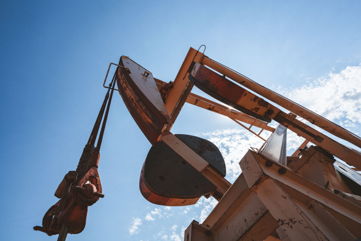
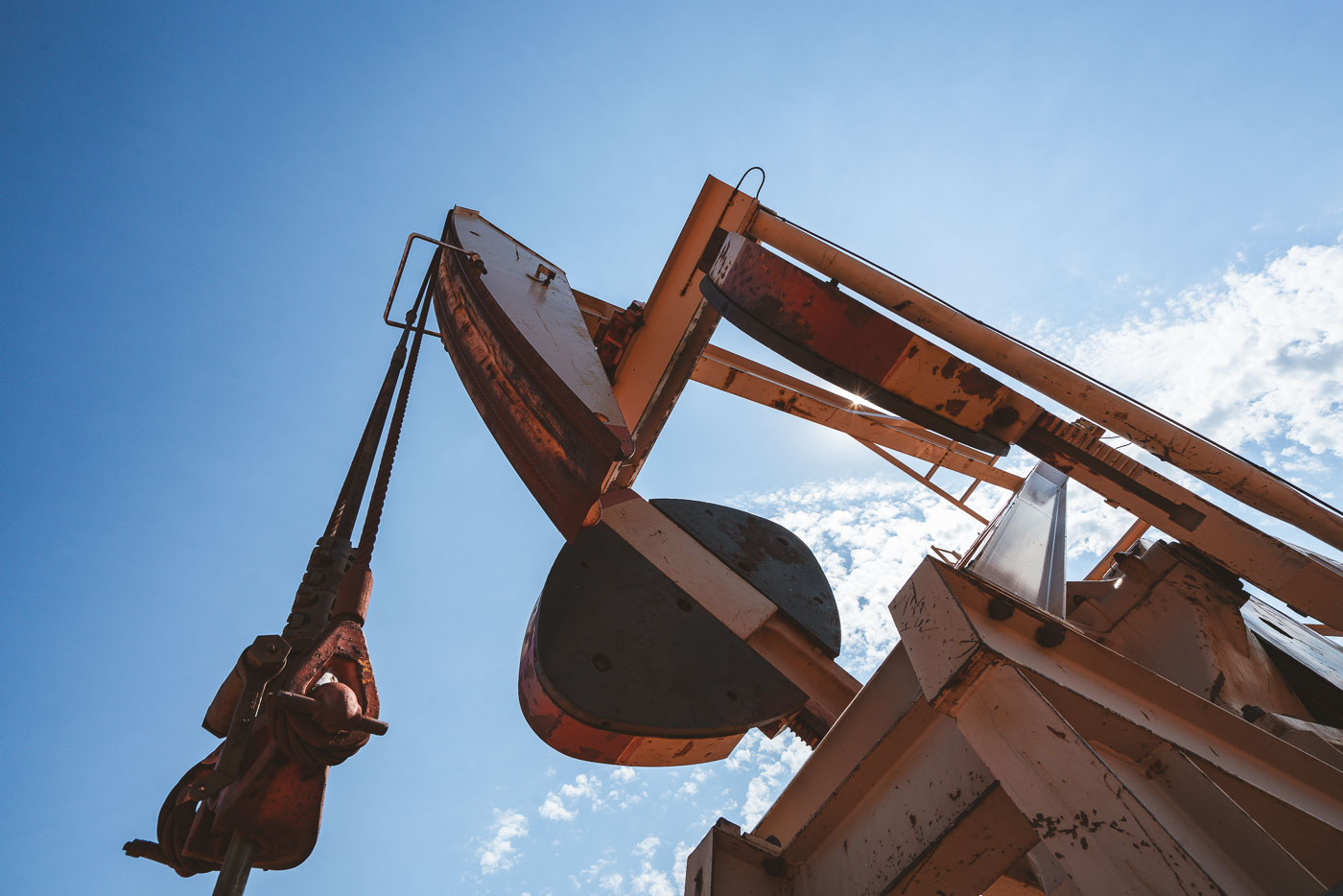
Rusted pumpjack and industrial equipment operate in a North Dakota oil field under clear blue sky.
The horsehead and walking beam shown here are part of a beam pump, the standard mechanism used to bring crude oil to the surface across North Dakota's Bakken formation. A motor turns a crank below, which rocks the walking beam up and down; this motion pulls a polished rod and attached sucker rods inside the wellbore, drawing oil upward with each stroke. The counterweight opposite the horsehead offsets the load of the rod string, reducing the energy needed to lift fluid from depths that in the Bakken often exceed two miles. The Bakken shale, spanning parts of North Dakota, Montana, and southern Saskatchewan, became one of the largest U.S. oil-producing formations after horizontal drilling and hydraulic fracturing made its tight shale layers commercially viable starting in the mid-2000s. North Dakota's oil output, driven largely by Bakken wells, made it the second-largest oil-producing state in the country during the following decade.

Walking Beam and Horsehead of a Pumpjack in the Bakken
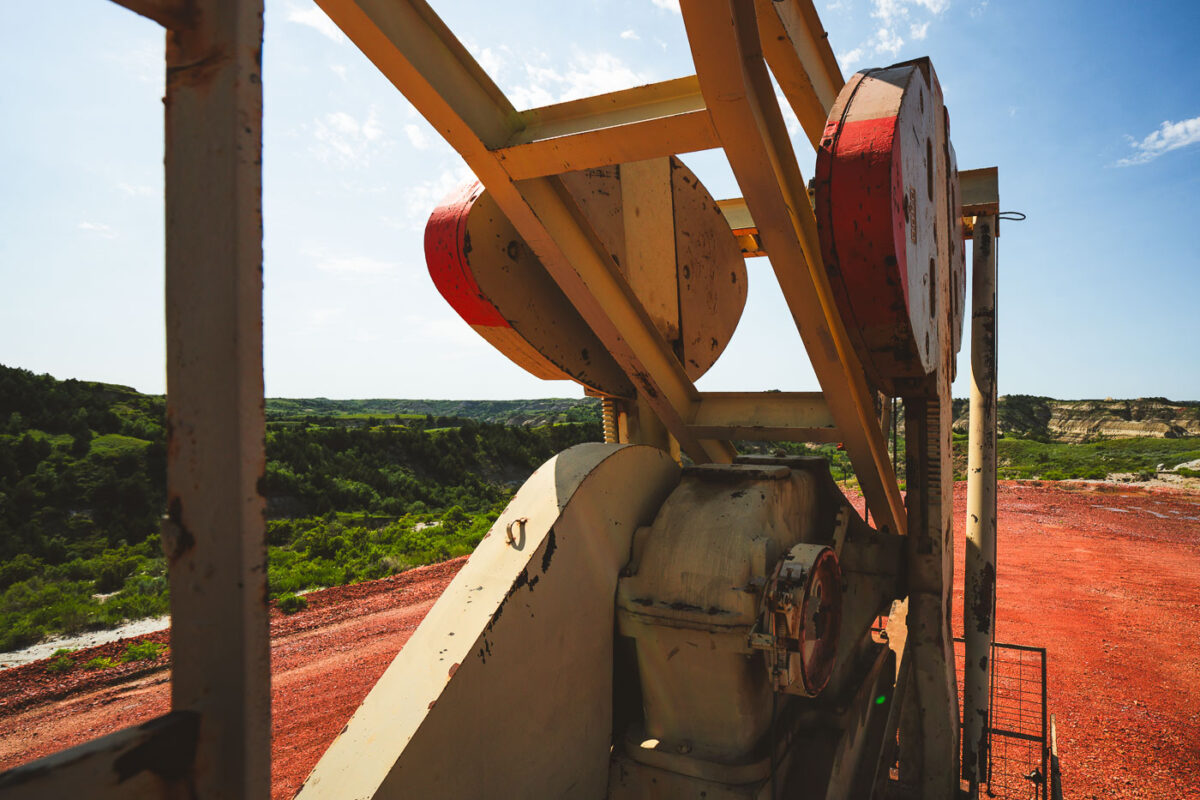
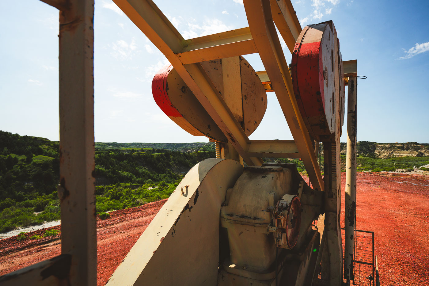
Industrial pump mechanism with red wheels overlooks eroded badlands terrain in North Dakota.
Pumpjacks like this one dot the Bakken Formation, the shale oil region beneath western North Dakota that fueled one of the largest U.S. oil booms of the 21st century. A gearbox and counterweight system converts the rotation of an electric motor into the up-and-down stroke of a sucker rod, which drives a pump thousands of feet underground. Many Bakken wells reach the oil-bearing shale by drilling vertically more than two miles before turning horizontal to follow the rock layer for another mile or more. The badlands terrain surrounding Theodore Roosevelt National Park sits atop some of the same formation, placing working oil sites directly adjacent to protected parkland.

Pumpjack Machinery Above the Badlands Near Medora