Interstate 35W

37 photos · 2013–2025

37 photographs tagged Interstate 35W, 2013–2025.
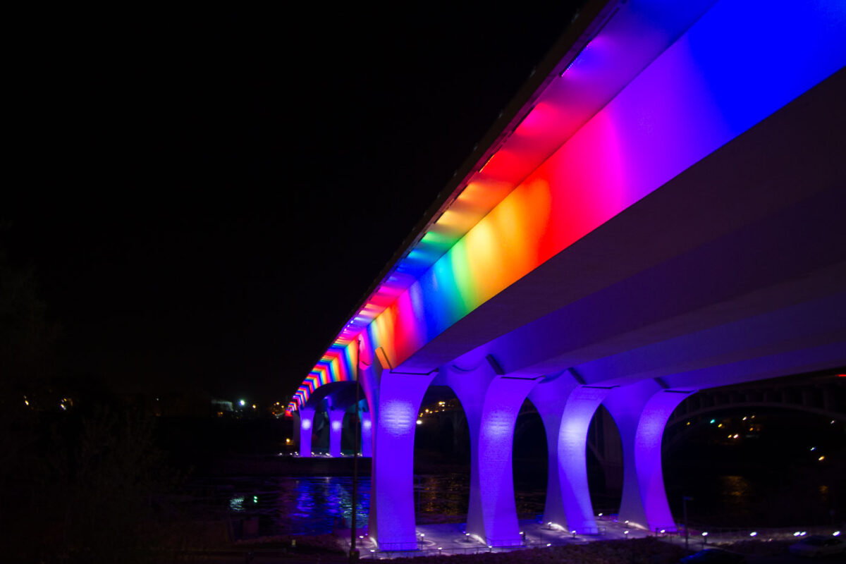
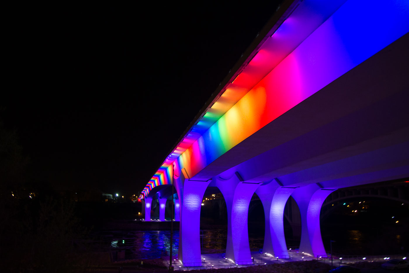
I-35W Bridge in Minneapolis illuminated at night with rainbow-colored lights along its deck and supports.
The I-35W Mississippi River Bridge in Minneapolis is illuminated with rainbow-colored lights. This bridge was rebuilt following its catastrophic collapse in 2007. The reconstruction prioritized modern engineering and safety standards.

Rainbow Lights on the I-35W Bridge Over the Mississippi
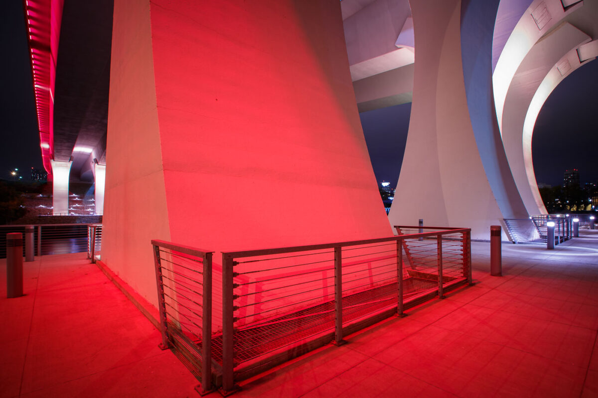
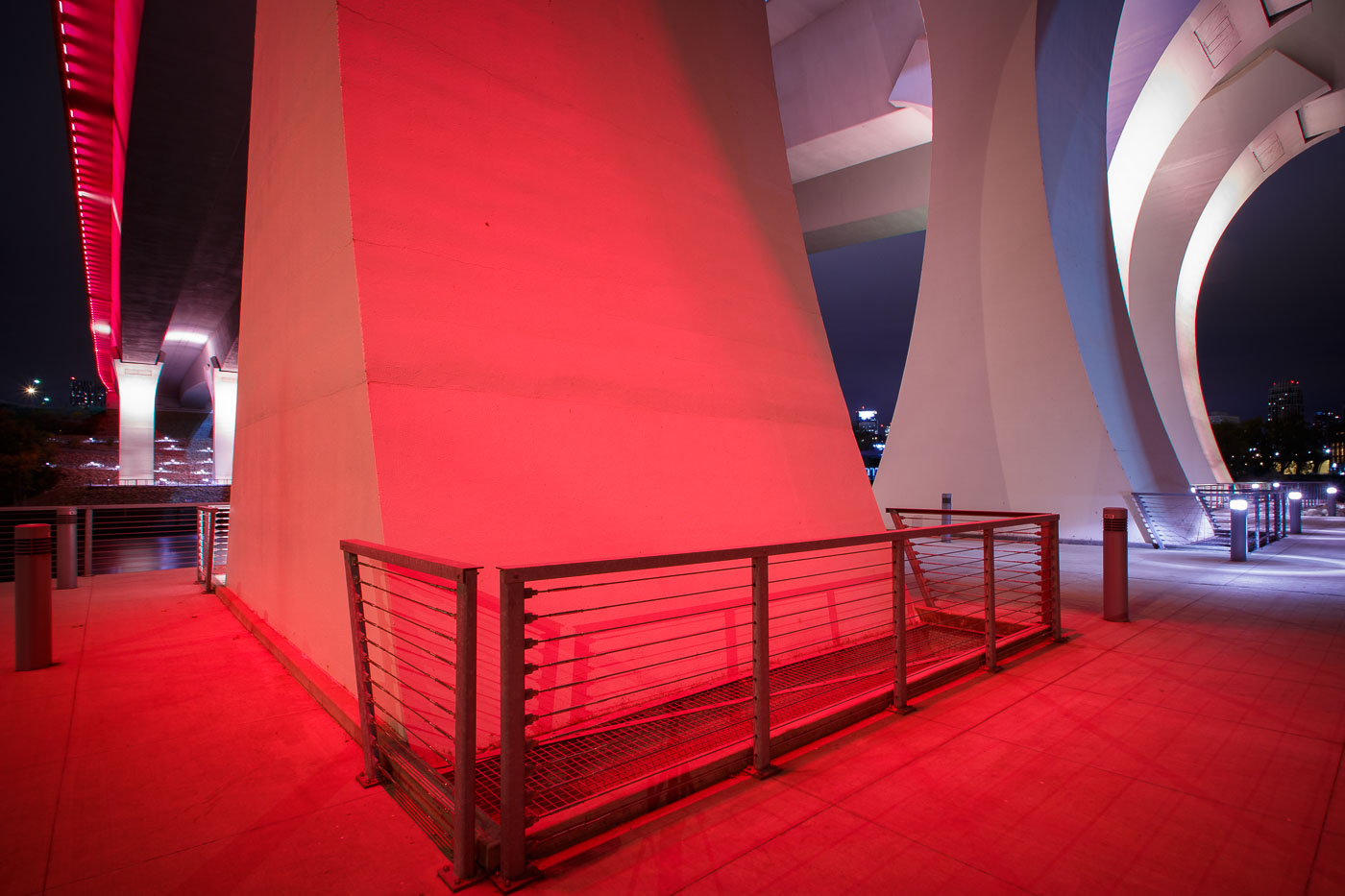
The I-35W Bridge in Minneapolis is illuminated in red at night, with metal railings visible on an illuminated walkway below.
The I-35W Mississippi River Bridge in Minneapolis is illuminated in red. This bridge was rebuilt following its catastrophic collapse in 2007.

Red Light Beneath the I-35W Bridge Pylons at Night
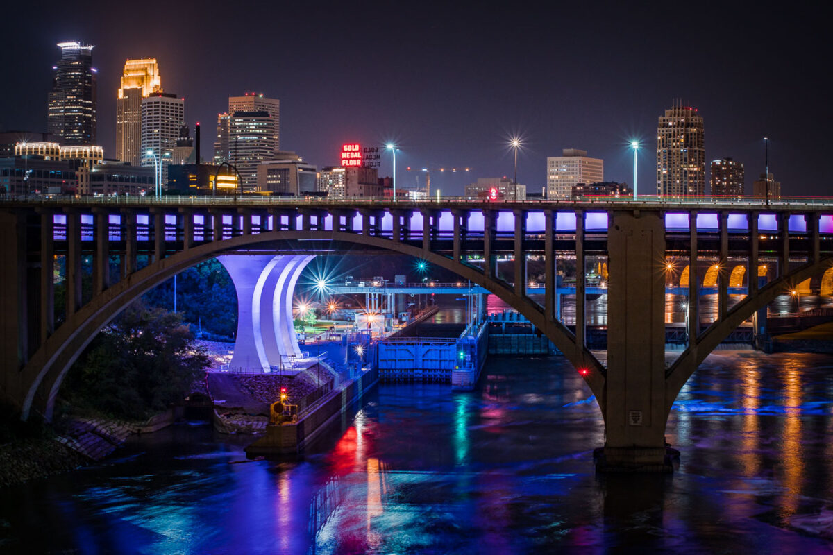
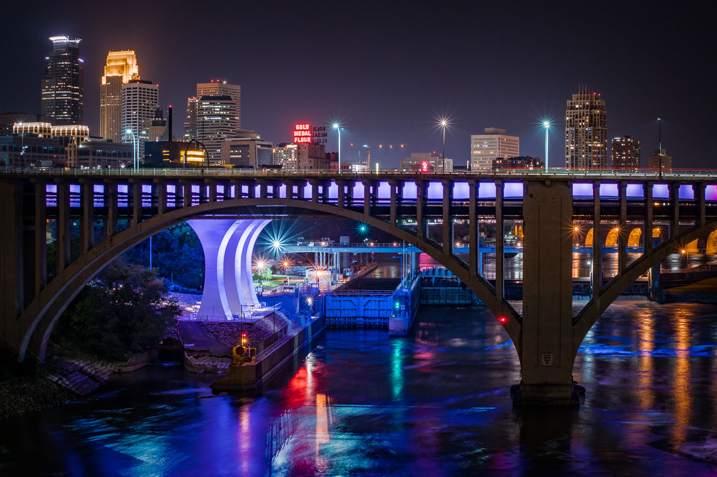
The I-35W Mississippi River Bridge at night, with the Minneapolis skyline in the background.
The I-35W Mississippi River Bridge over the Mississippi River in downtown Minneapolis. The bridge collapsed in 2007 and was replaced in 2008.

Minneapolis I-35W Bridge and Downtown Skyline at Night
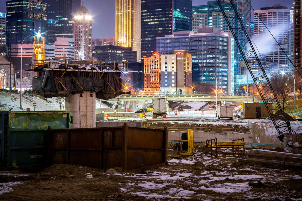
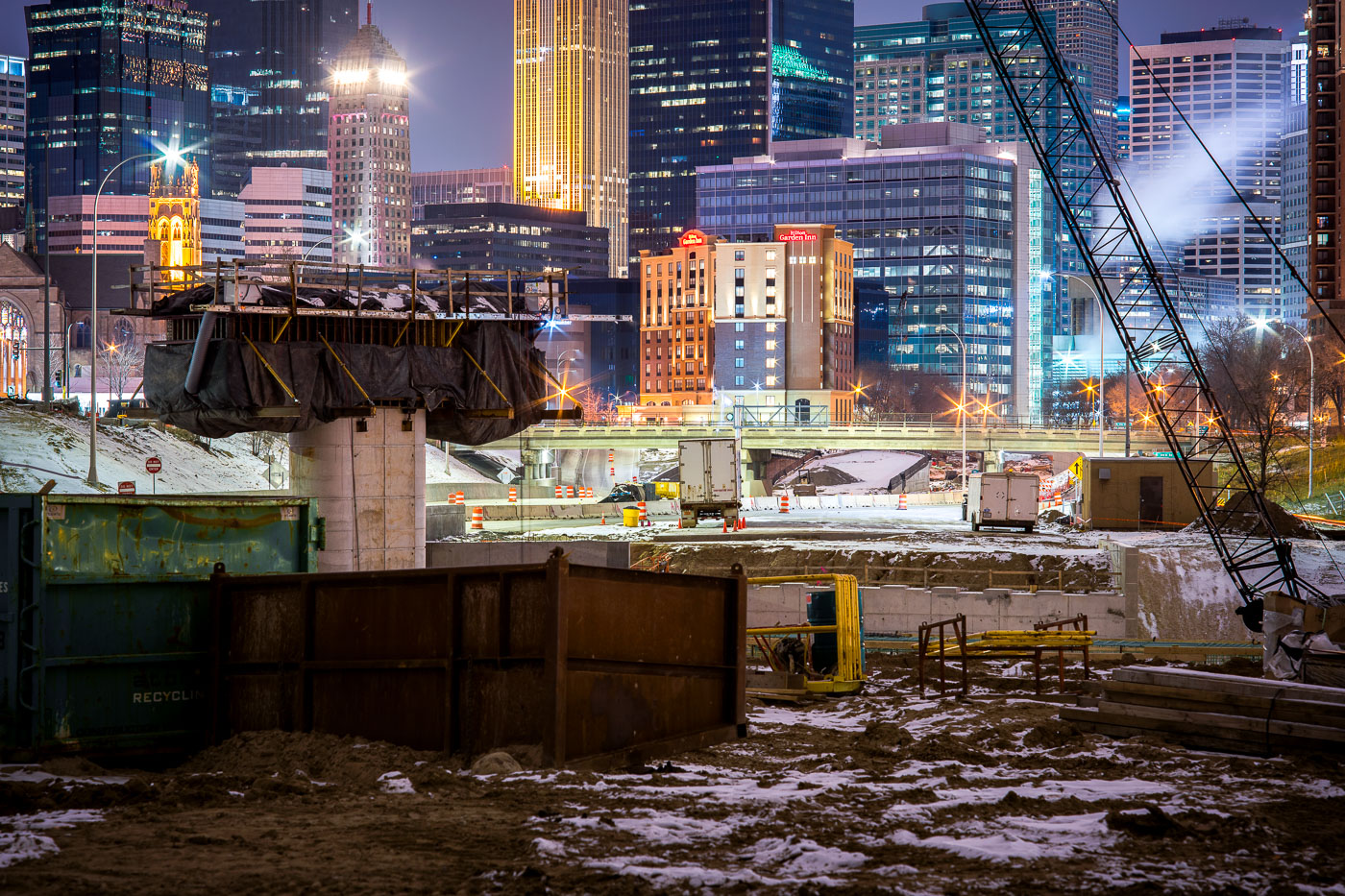
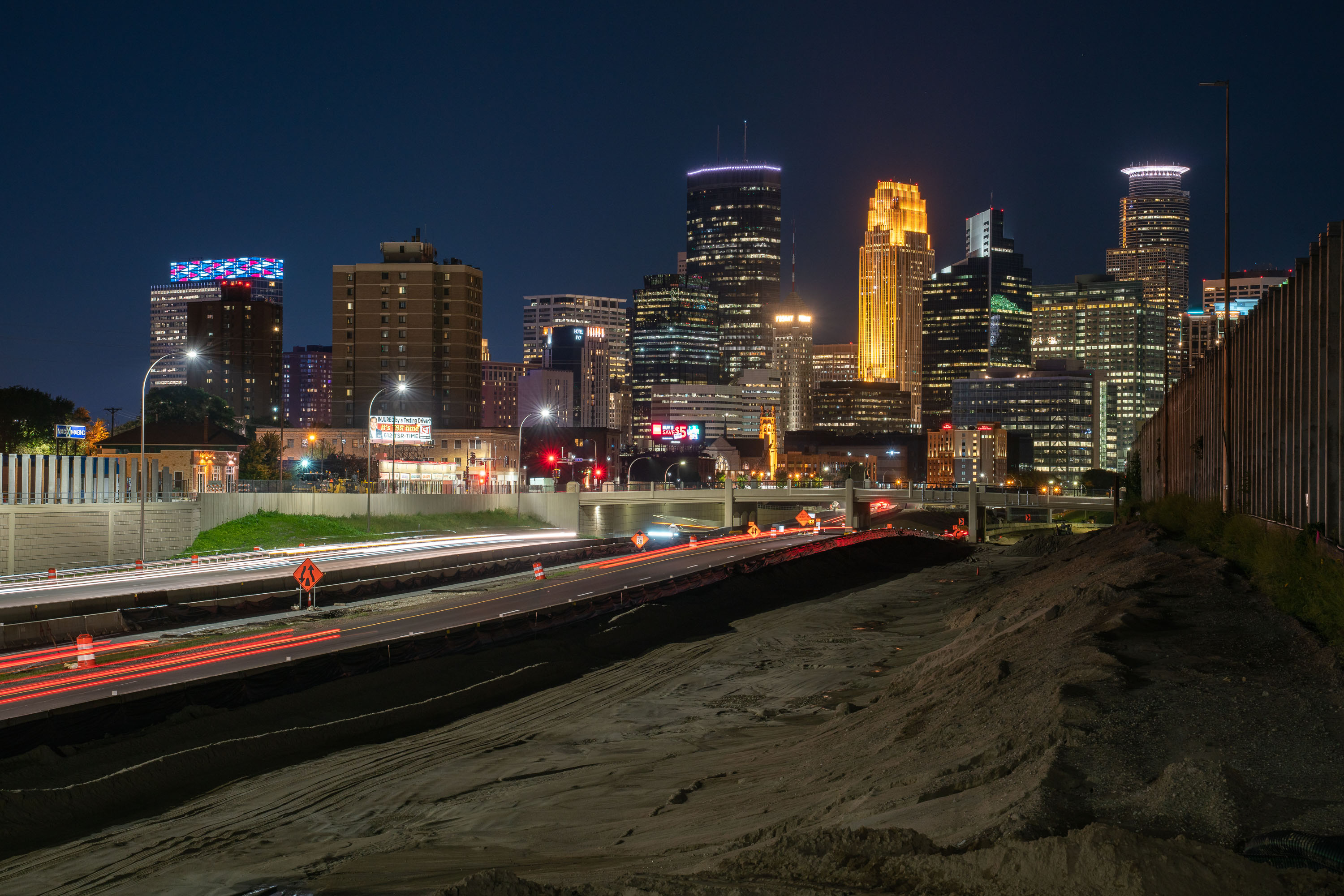
I-35W highway construction site in downtown Minneapolis with illuminated office towers and buildings visible beyond the freeway trench.
I-35W construction in downtown Minneapolis continues in the freeway trench south of the central business district.

Night Construction Along I-35W Beneath the Minneapolis Skyline
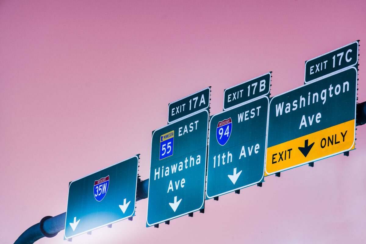
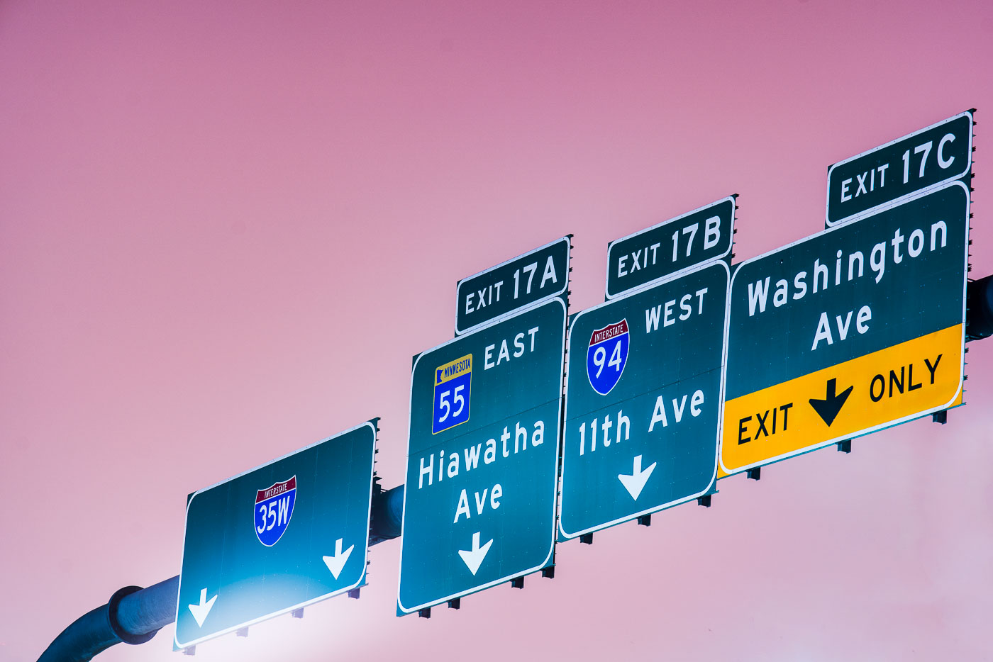
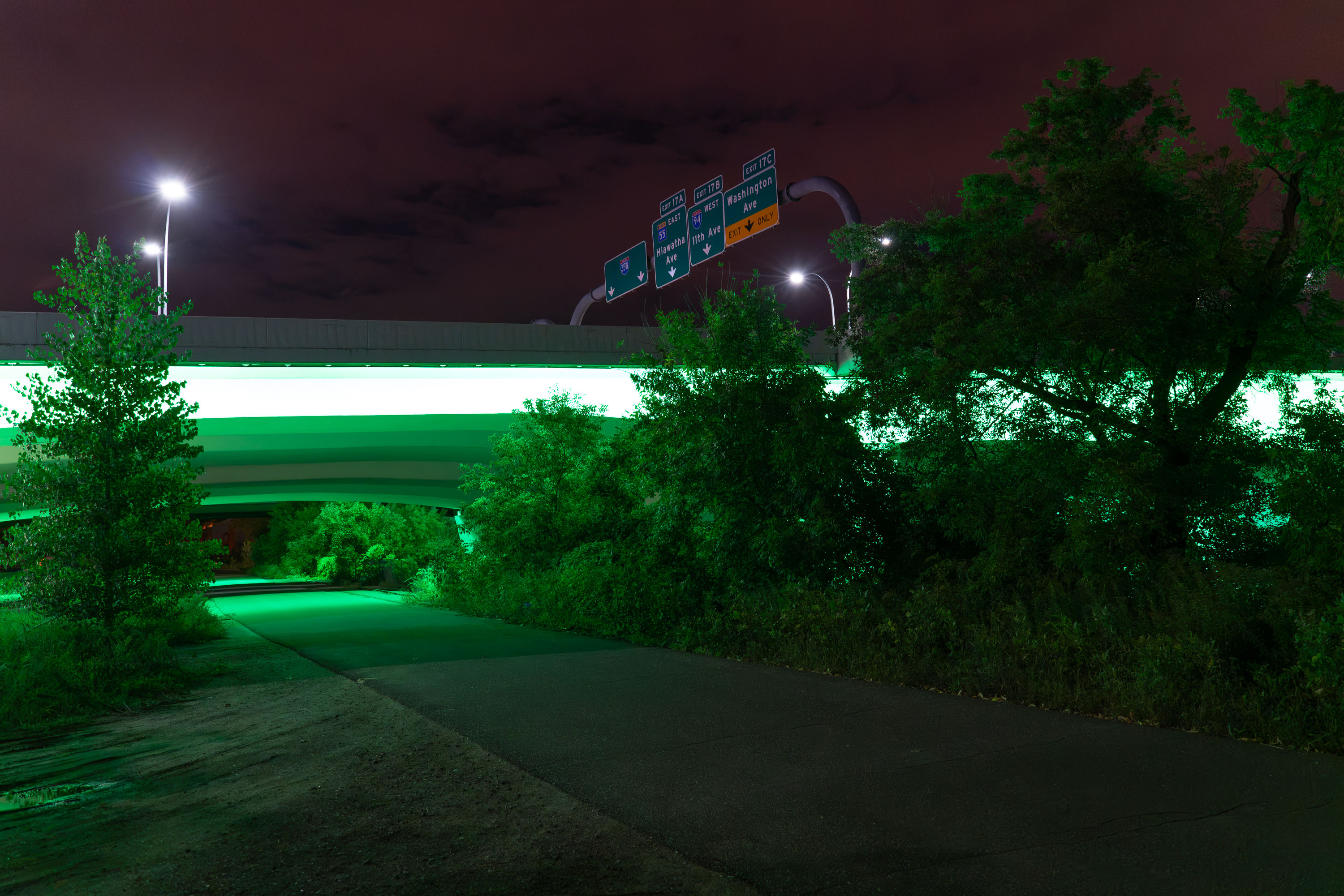
Interstate 35W exit signs for Hiawatha Ave, 11th Ave, and Washington Ave in Minneapolis.
Interstate 35W exit signs in Minneapolis direct traffic to Hiawatha Avenue, 11th Avenue, and Washington Avenue. The guide signs also reference Interstate 94 and Minnesota State Highway 55 at Exit 17.

Interstate 35W exit signs at Hiawatha Ave, Minneapolis
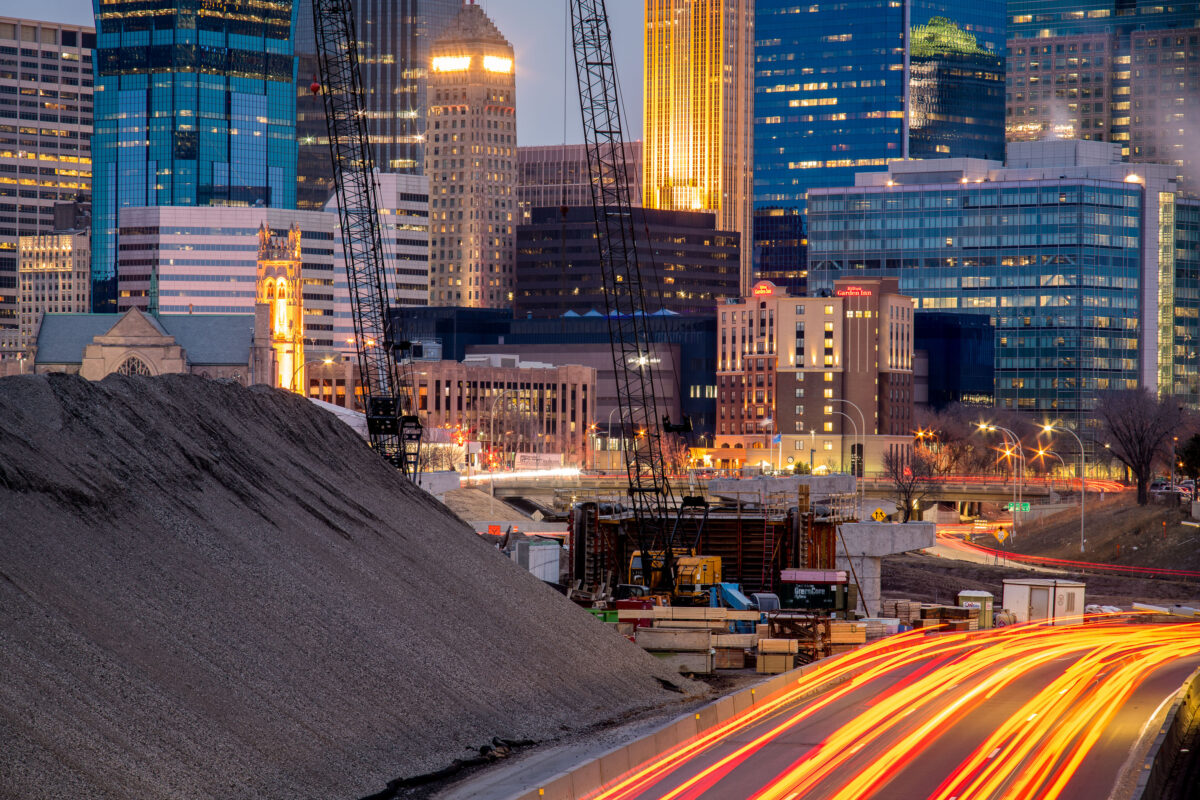
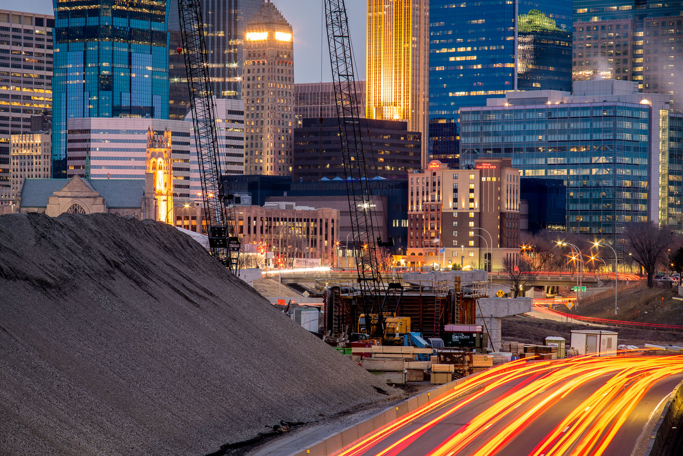
Interstate 35W construction site in downtown Minneapolis at dusk, with the Foshay Tower and illuminated skyline in the background.
Interstate 35W construction on the south edge of downtown Minneapolis is framed by the central business district, including the Foshay Tower and the Hilton Garden Inn.

I-35W Construction Below the Foshay Tower at Dusk
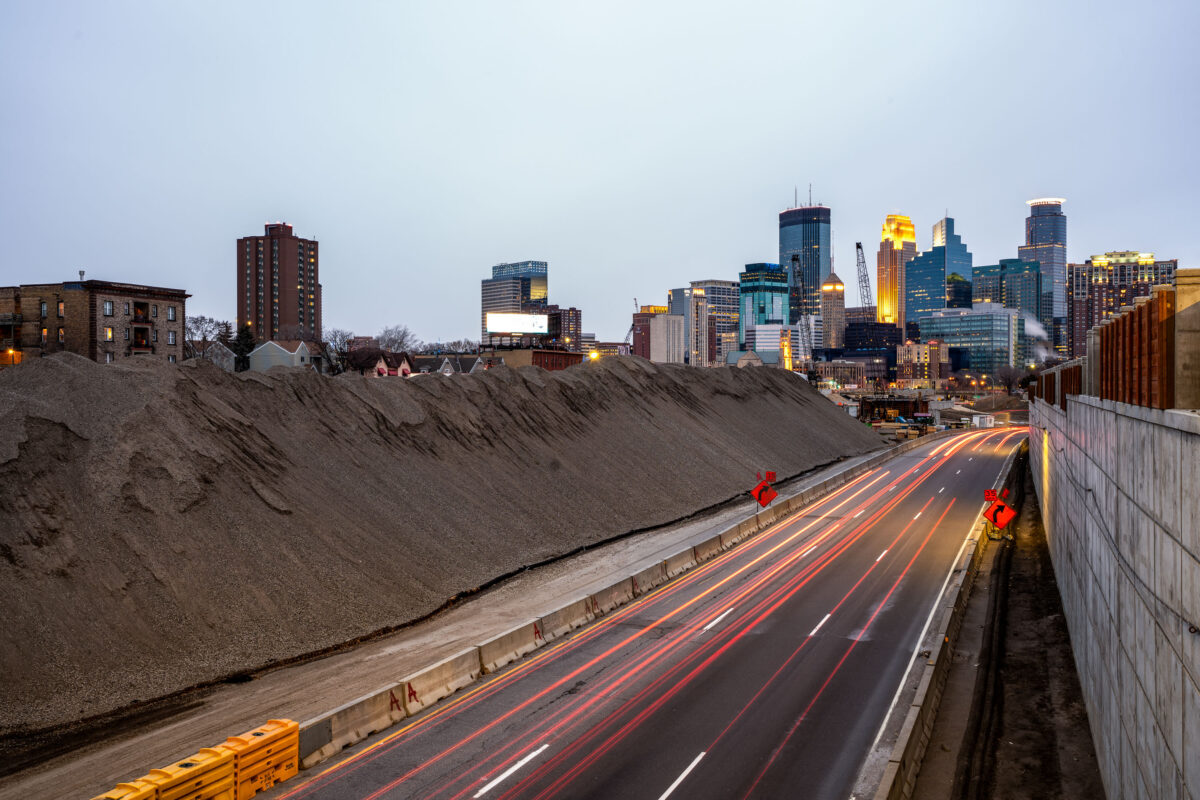
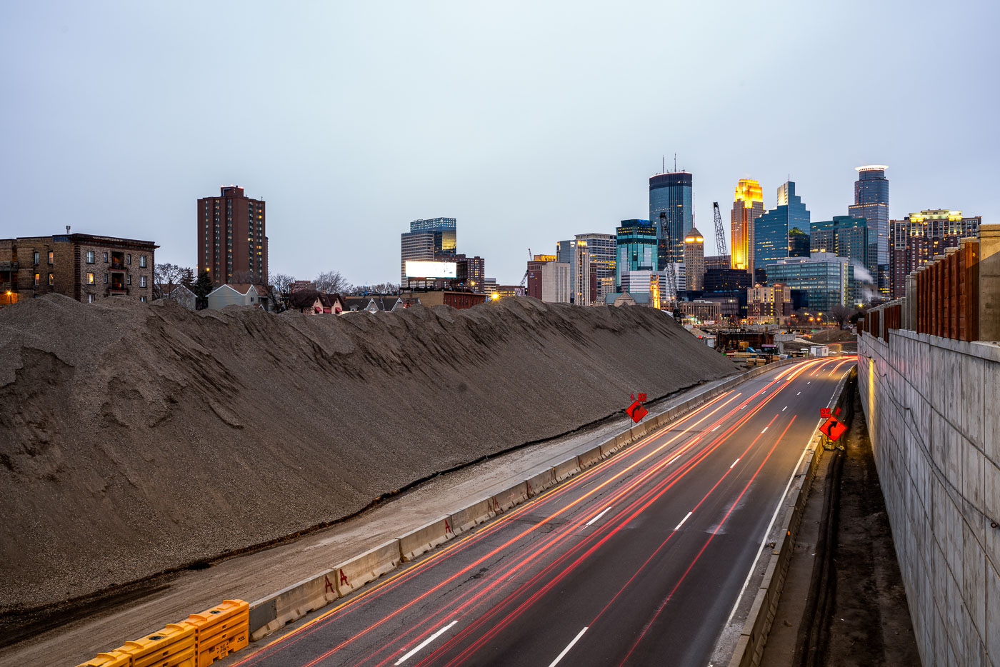
Excavated earth and traffic on Interstate 35W construction site near downtown Minneapolis skyline.
Interstate 35W underwent major reconstruction near downtown Minneapolis during this period. The project involved extensive earthwork and roadway modifications, with excavated material staged alongside the highway corridor. The construction activity was visible from multiple vantage points throughout the downtown area, marking a significant infrastructure undertaking in the city's transportation network.

Interstate 35W Construction Site, Minneapolis
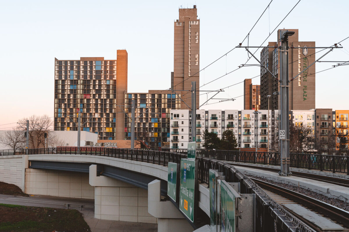
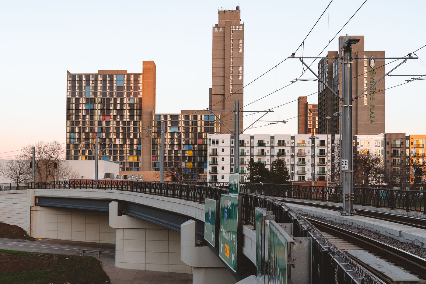
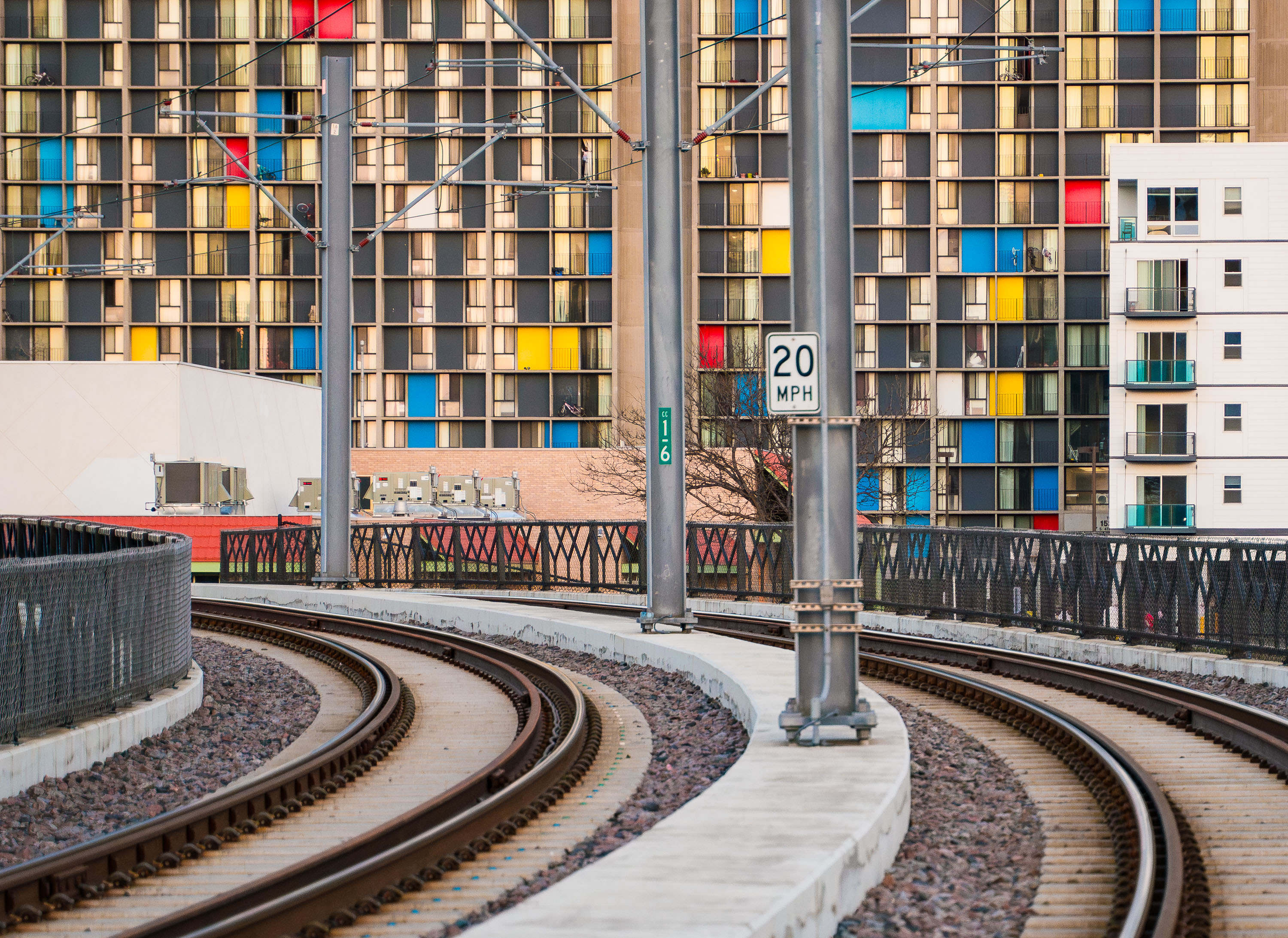
Riverside Plaza and the Light Rail Tracks
Riverside Plaza stands tall beyond the METRO Blue Line overpass in the Cedar–Riverside district of Minneapolis. The colorful panels of the 1970s residential towers contrast with the new mid-rise apartments and light rail infrastructure built decades later.

Riverside Plaza from the Light Rail Overpass, Minneapolis
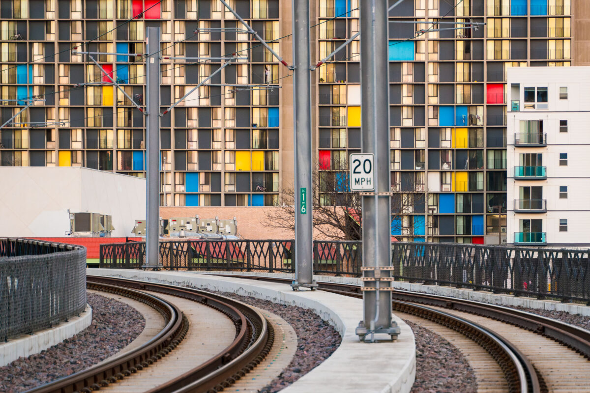
Metro Transit light rail tracks curve past Riverside Plaza in Minneapolis’s Cedar-Riverside neighborhood.
Metro Transit light rail tracks by Riverside Plaza in Minneapolis’s Cedar-Riverside neighborhood. Riverside Plaza is a large housing complex along the light rail corridor near Interstate 35W. The tracks curve through the area south of downtown Minneapolis.

Metro Transit light rail tracks by Riverside Plaza, Minneapolis
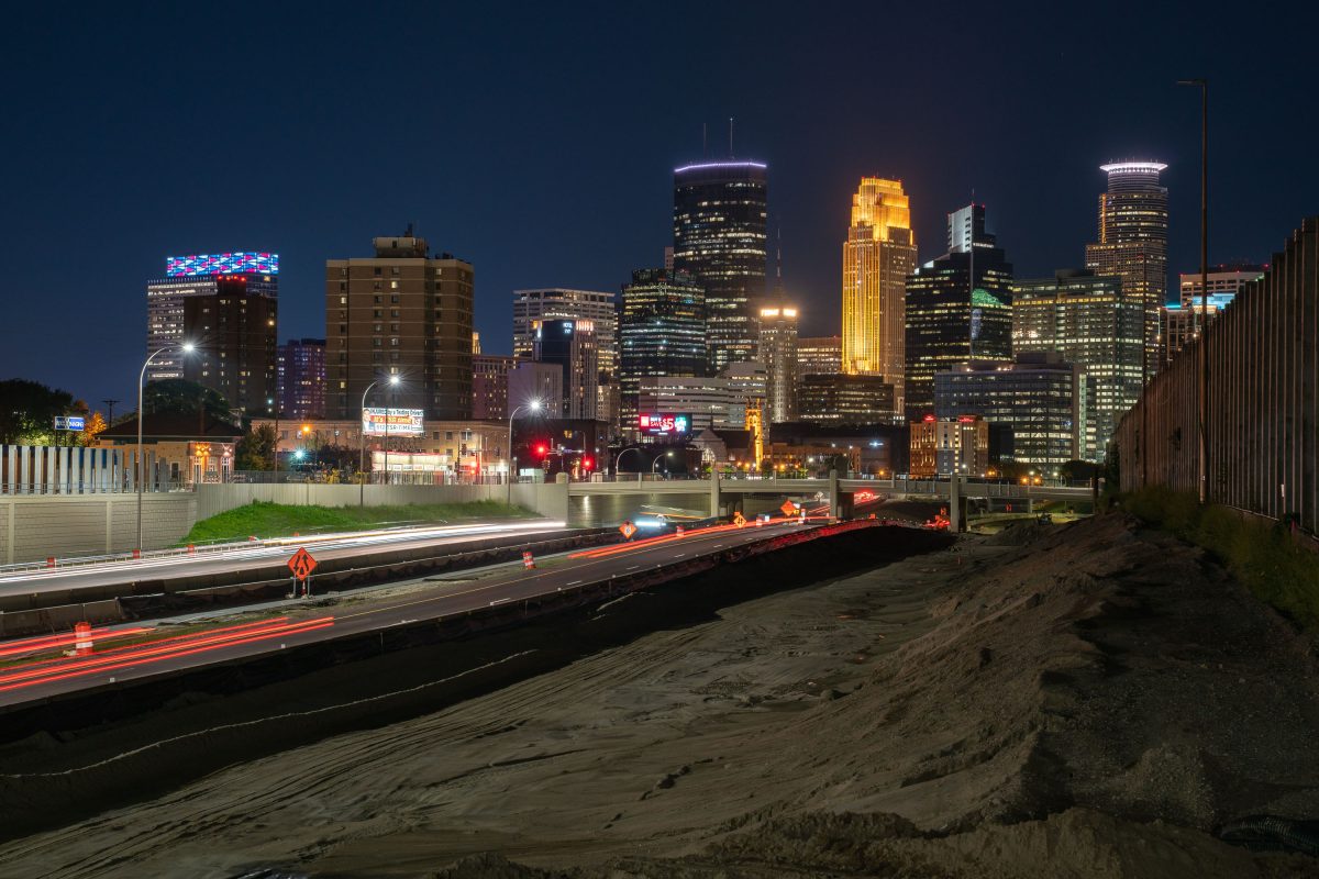
35W leading to downtown Minneapolis during construction
Highway 35W heading into downtown Minneapolis. The Minneapolis skyline in the background. Photo taken during 2019 highway construction.

35W leading to downtown Minneapolis during construction

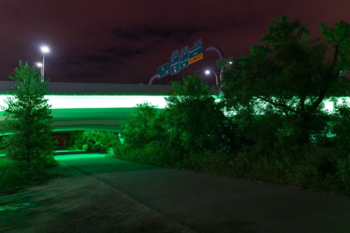
Green lights on 35W, Minneapolis, MN
The lights of Interstate 35W lit green for National Cerebral Palsy Awareness.

Green lights on 35W, Minneapolis, MN

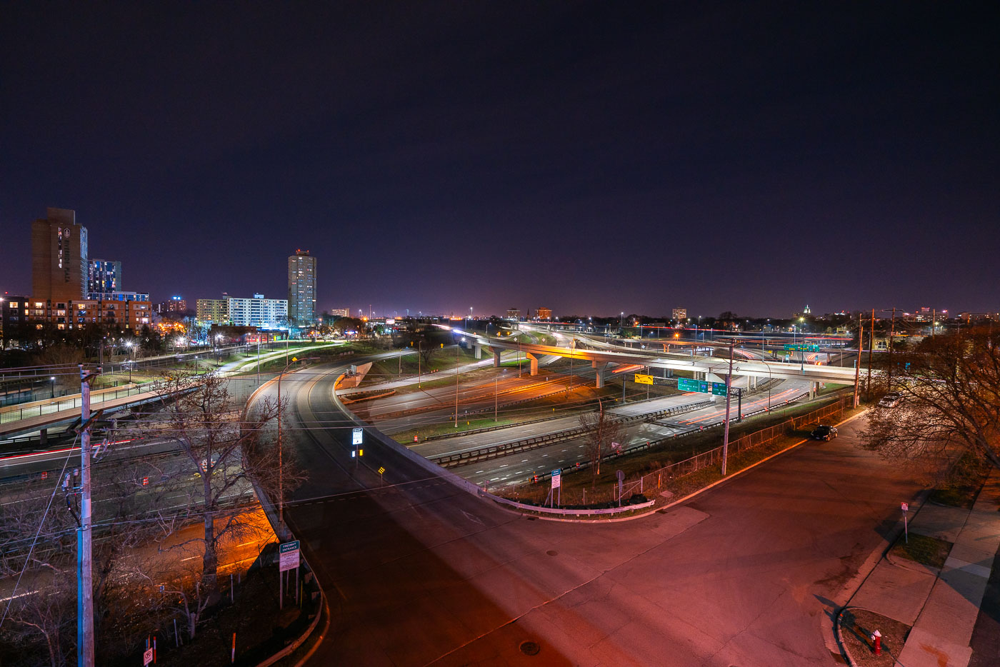
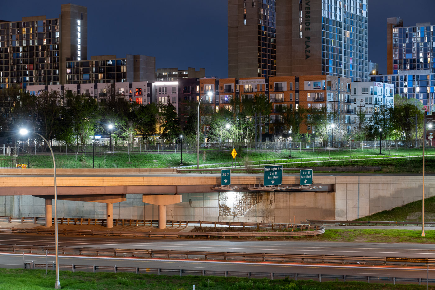
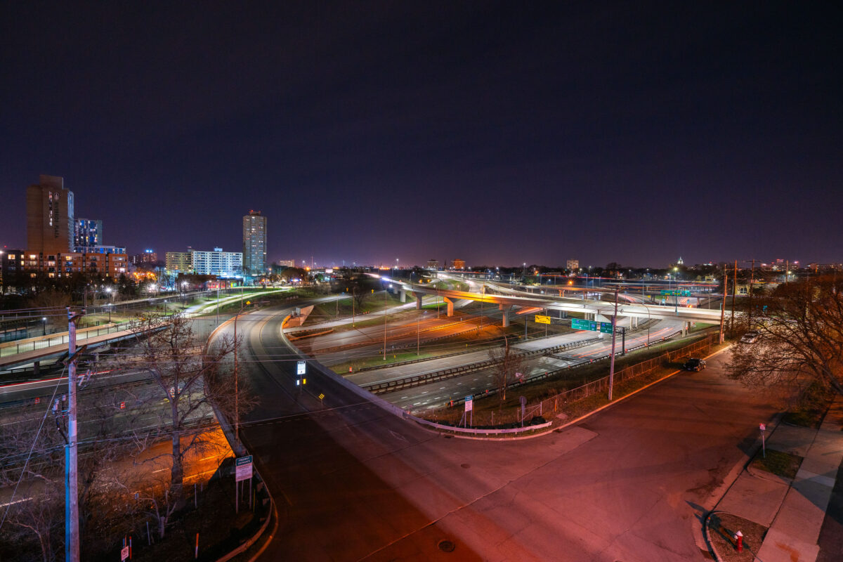
Interstate 35W and connecting ramps at night in Minneapolis with Cedar-Riverside neighborhood visible in background.
Interstate 35W cuts through the Cedar-Riverside neighborhood just south of downtown Minneapolis, carrying traffic between the city center and southern suburbs along the Twin Cities' busiest north-south corridor. The high-rise towers of Riverside Plaza, built in 1973 as public housing and now home to a large East African immigrant community, stand along the freeway's western edge. The interchange visible here connects 35W with Washington Avenue and the University of Minnesota's West Bank campus, one of several ramps rebuilt after the 2007 collapse of the 35W bridge over the Mississippi River prompted a broader reconstruction of the corridor.

Interstate 35W Interchange Near Cedar-Riverside at Night
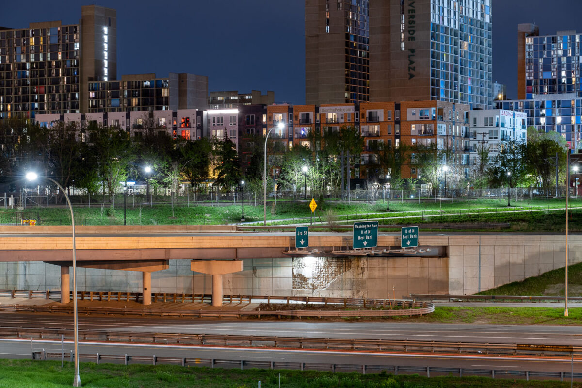
Interstate 35W underpass with Riverside Plaza towers in Cedar-Riverside, Minneapolis.
Interstate 35W passes beneath an overpass at the Cedar-Riverside neighborhood in Minneapolis. Riverside Plaza residential towers rise beyond the freeway corridor, which connects the Twin Cities metropolitan area north and south through downtown Minneapolis.

Interstate 35W at Cedar-Riverside, Minneapolis
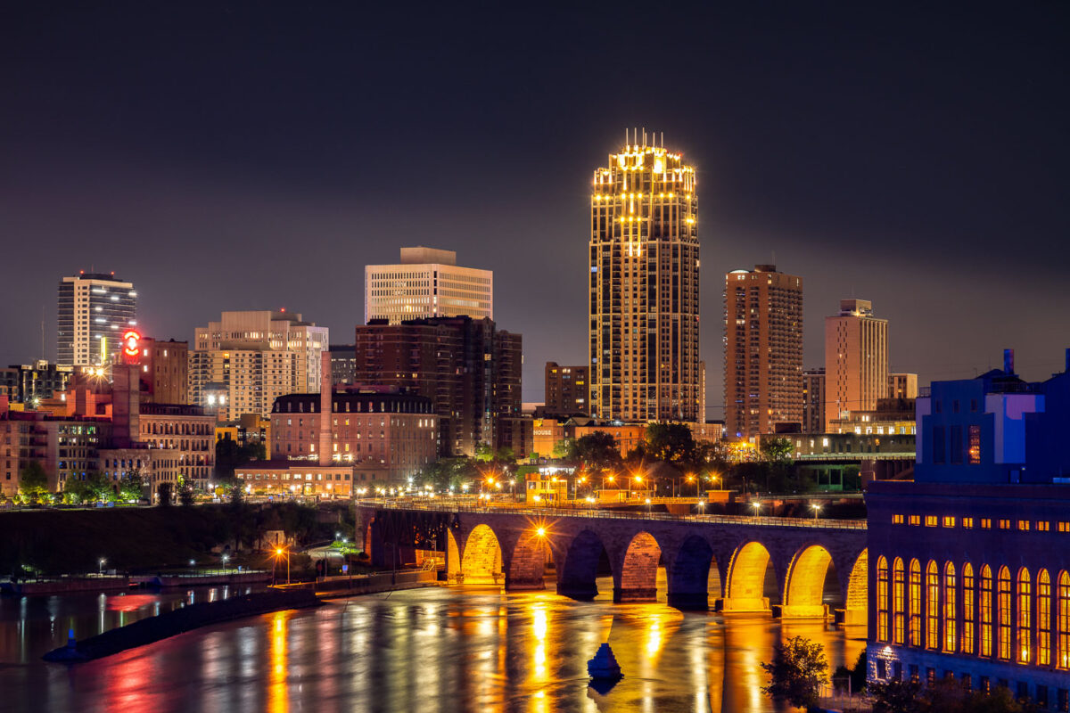
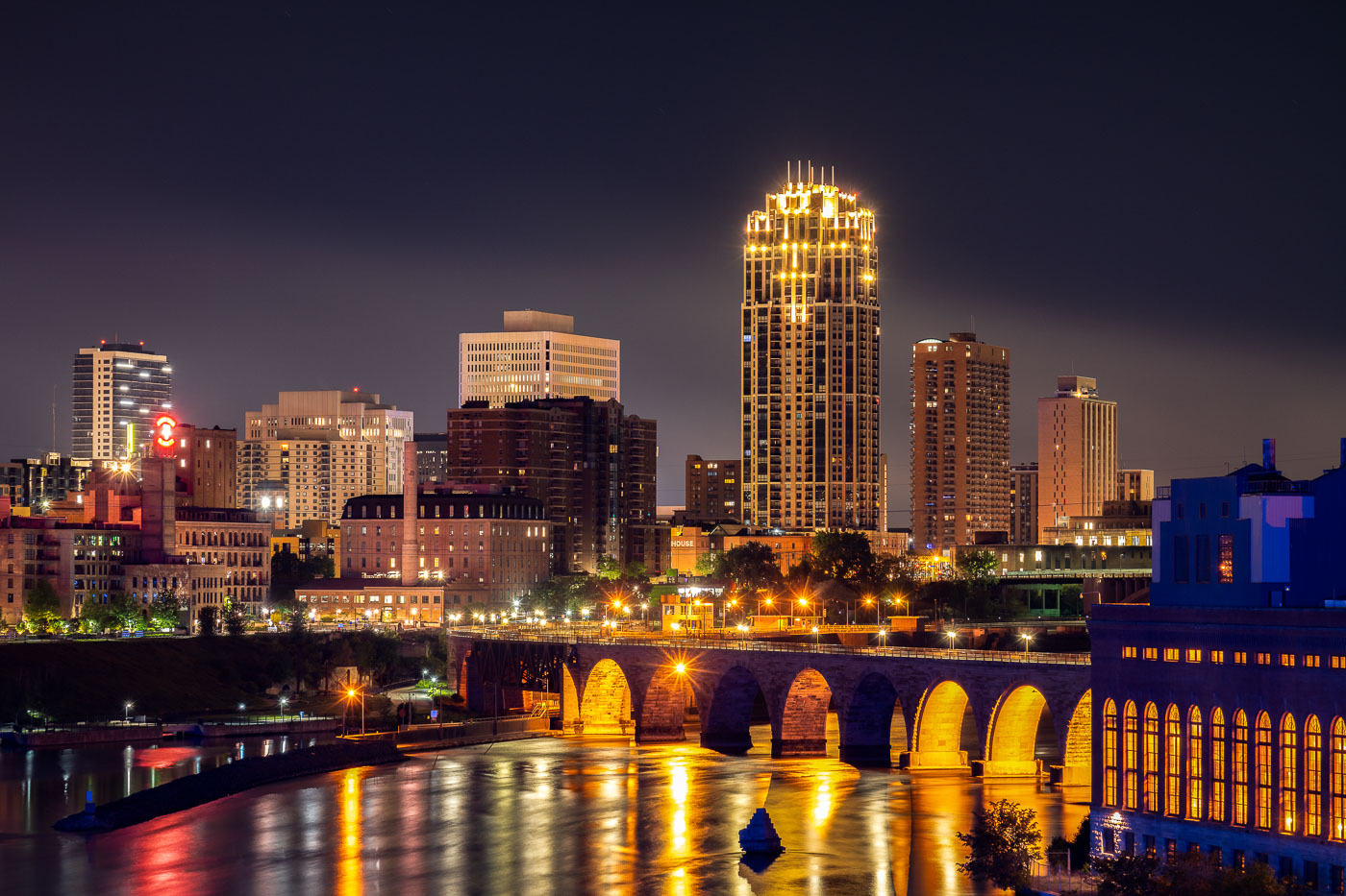
Stone Arch Bridge spanning the Mississippi River with illuminated downtown Minneapolis skyline at night.
The Stone Arch Bridge spans the Mississippi River in Minneapolis. Built in 1883 as a railroad bridge, the structure is a prominent historic landmark along the riverfront near St. Anthony Falls.

Downtown Minneapolis Skyline from the Mississippi Riverfront
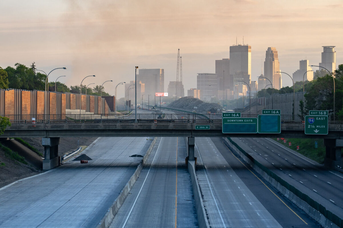
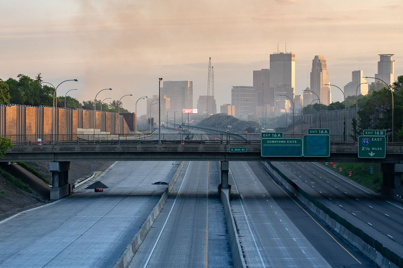
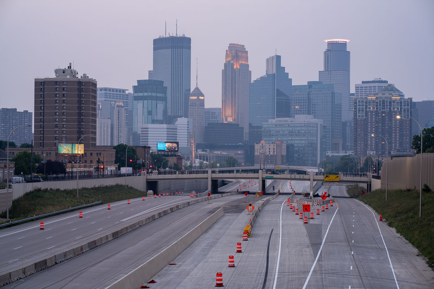
Interstate 35W approaching downtown Minneapolis under smoke haze at daybreak.
Interstate 35W approaching downtown Minneapolis, Minnesota, is seen under a layer of smoke at daybreak on May 30, 2020. Overhead signs for downtown exits, East 35th Street, and Interstate 94 place the view along the main north-south freeway corridor leading into the city center. The haze followed overnight fires during protests after the death of George Floyd, and the light traffic contrasts with the volume normally carried on this route.

I-35W Minneapolis Smoke Haze May 30 2020
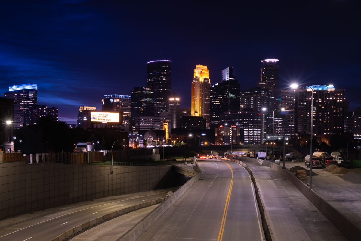
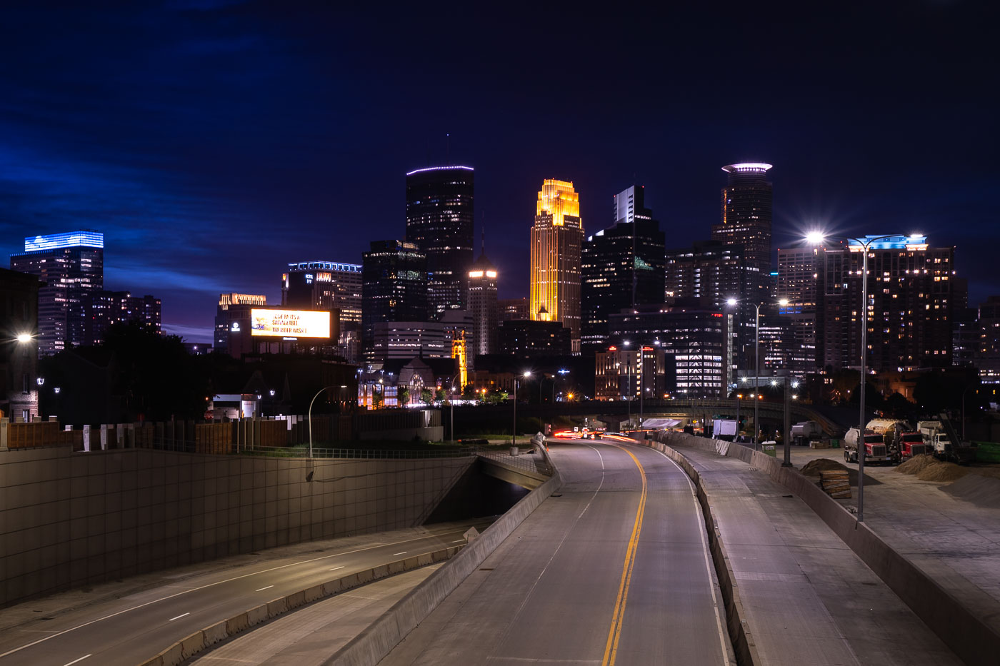
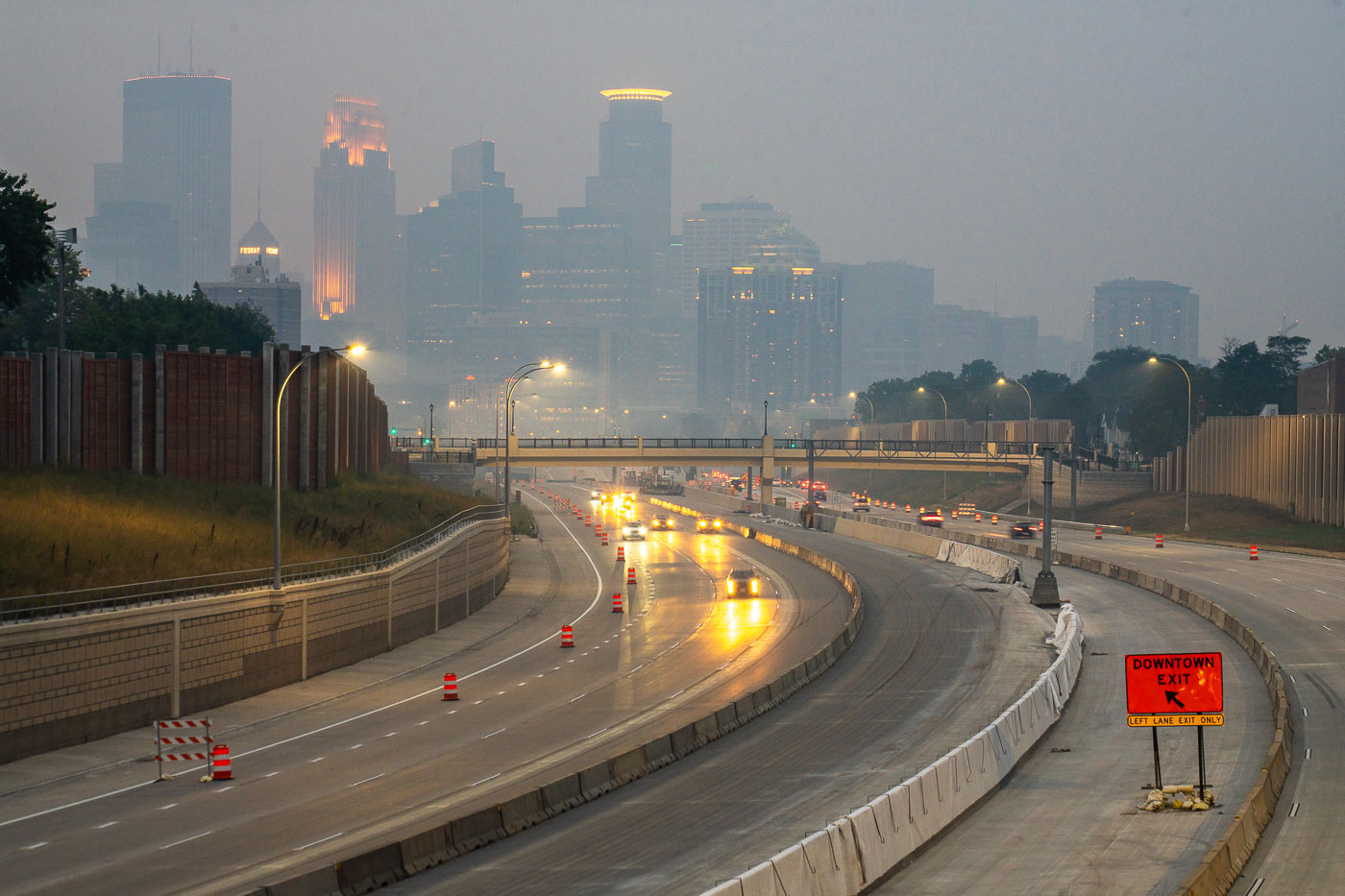
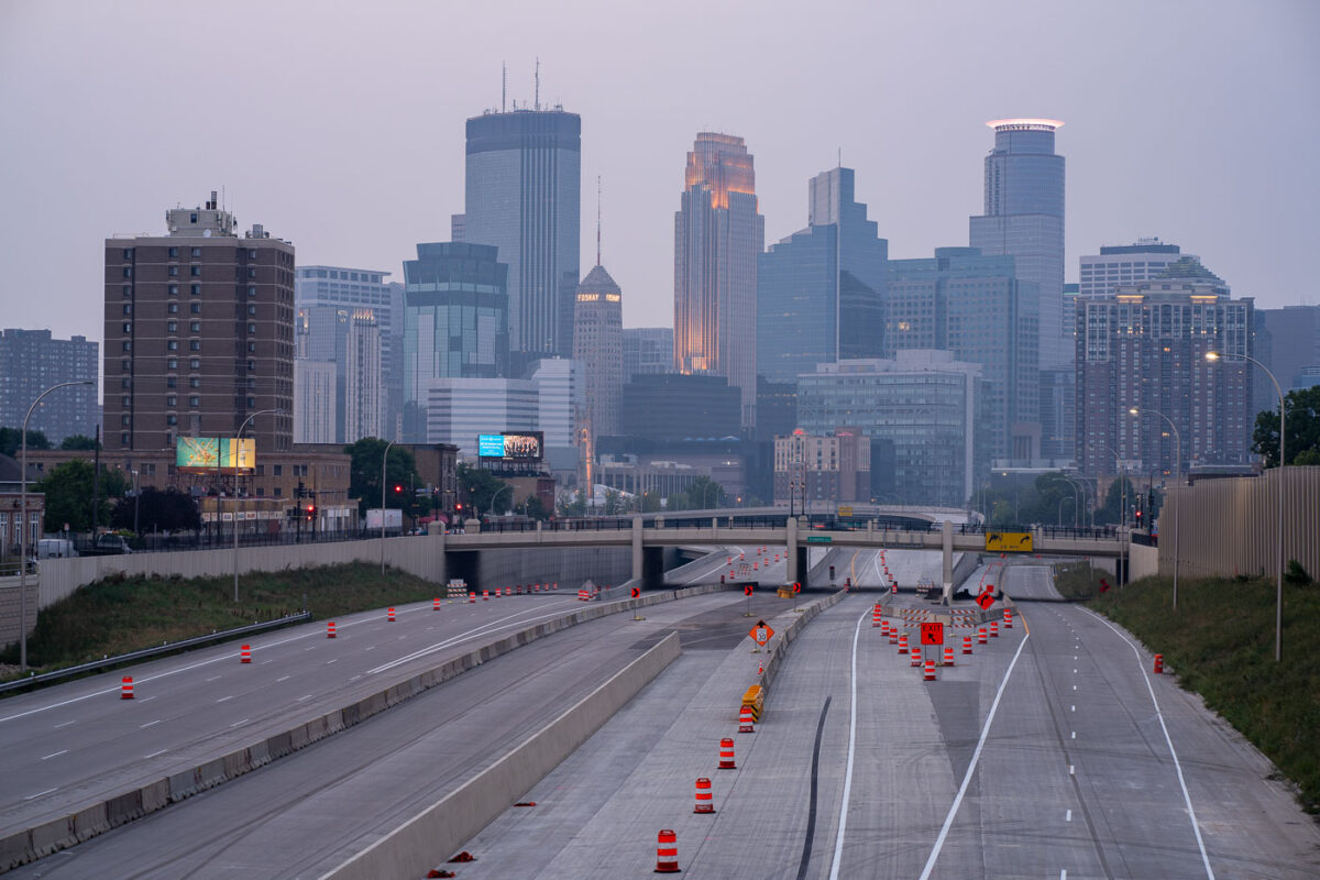
Interstate 35W construction approaching downtown Minneapolis at night with the skyline beyond.
Interstate 35W approaches downtown Minneapolis during overnight construction in July 2020. The freeway corridor curves toward the central business district, with lane shifts, barriers, and active work areas visible along the roadway. The Minneapolis skyline rises beyond the construction zone.

Interstate 35W construction approaching downtown Minneapolis

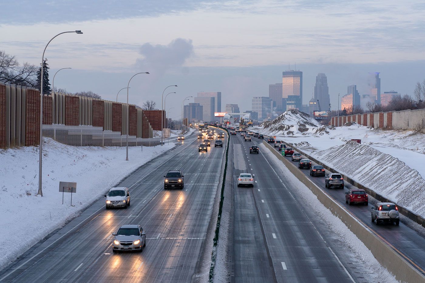
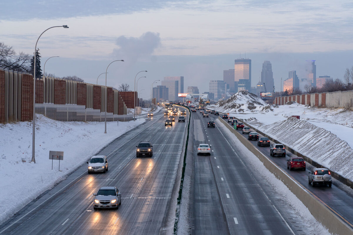
Interstate 35W in South Minneapolis with winter traffic and downtown Minneapolis beyond.
Interstate 35W runs through South Minneapolis with downtown Minneapolis in the distance. Snowbanks, sound walls, and winter traffic line this stretch of the freeway corridor. The route is one of the Twin Cities' main north-south highways, linking South Minneapolis with downtown and the wider regional interstate system.

Interstate 35W in South Minneapolis

Air quality alerts and Downtown Minneapolis
The Minneapolis skyline is obscured by wildfire smoke, a recurring environmental issue impacting the region. Interstate 35W, a major north-south freeway, is visible in the foreground, marked by construction cones and barriers, indicating ongoing infrastructure work.

Downtown Minneapolis Skyline Through Wildfire Haze
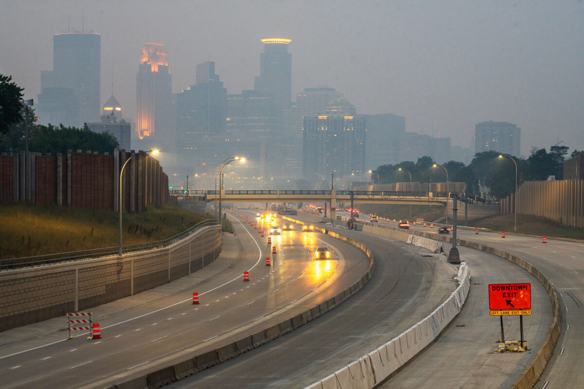
Interstate 35W in Minneapolis under smoke from Canadian wildfires, with downtown in the background.
Interstate 35W in Minneapolis carries traffic past downtown during smoke from Canadian wildfires. The freeway runs through the central city and connects north–south traffic through Minneapolis.

Interstate 35W in Minneapolis with wildfire smoke
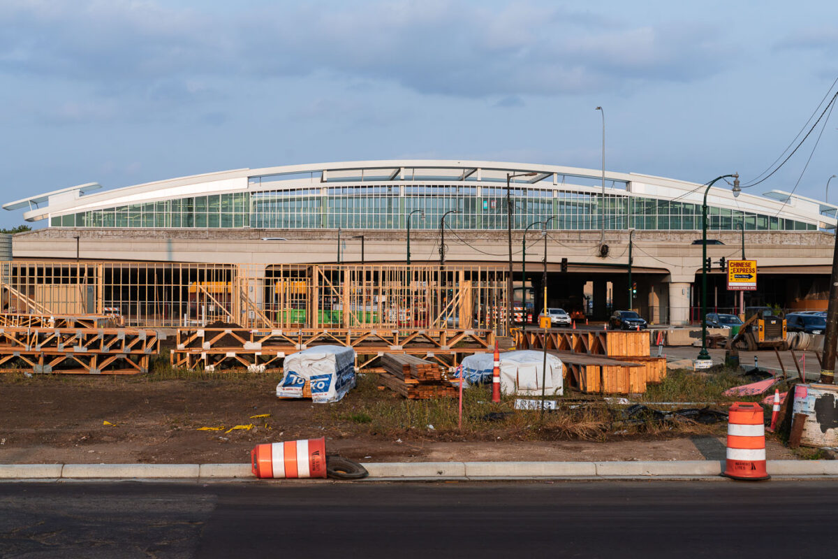
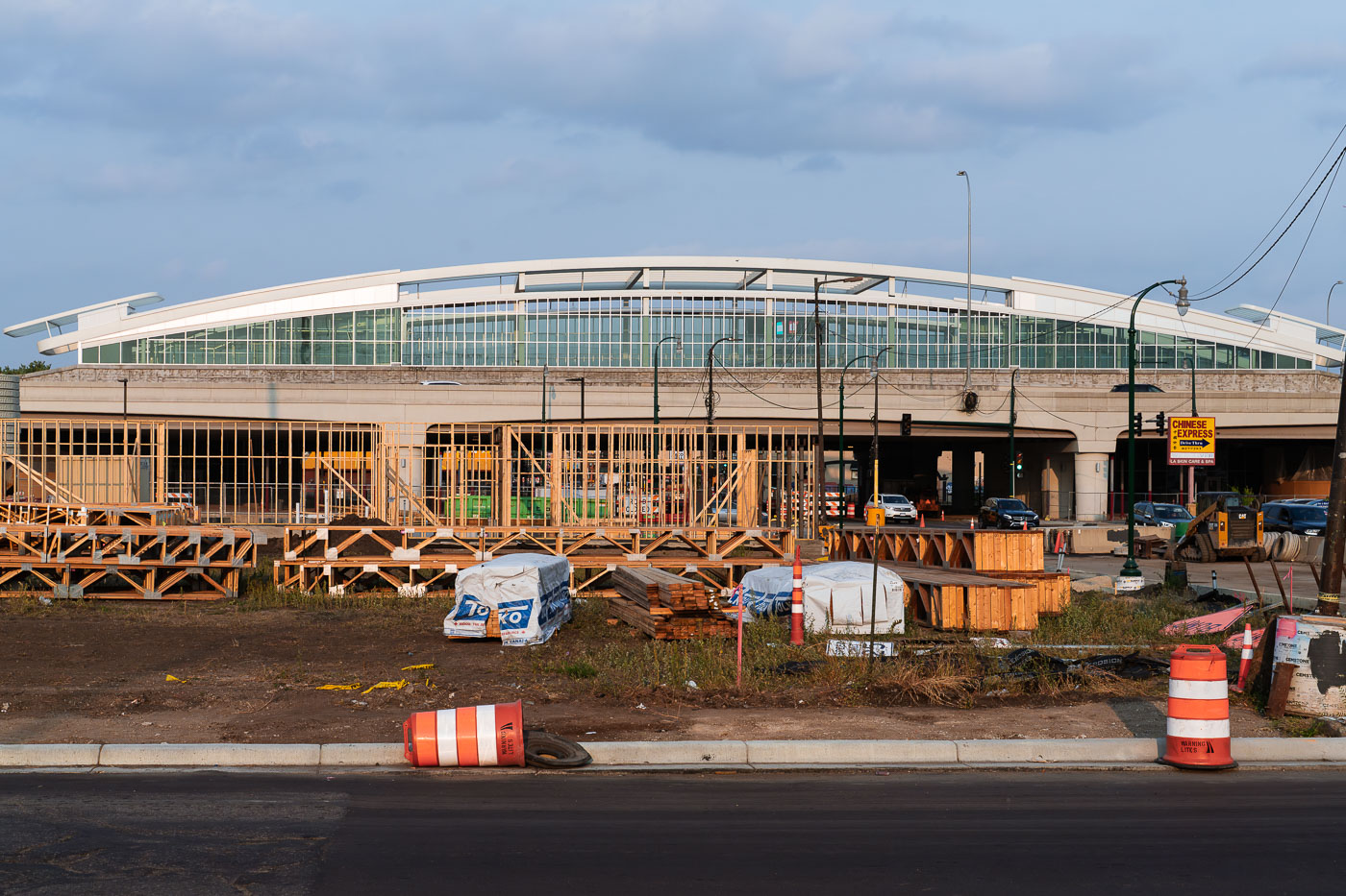
Atlus Staffing Site Rebuild Minneapolis 35W
Construction is underway at the site of the future Lake Street Station in Minneapolis, a transit hub designed to serve the I-35W corridor. The previous Atlas Staffing building on this location was destroyed during protests in the summer of 2020 following the murder of George Floyd.

Lake Street Station Construction Site, Minneapolis
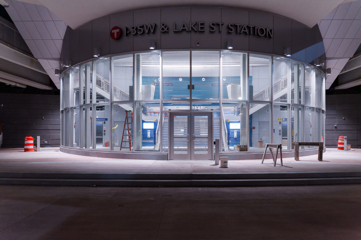
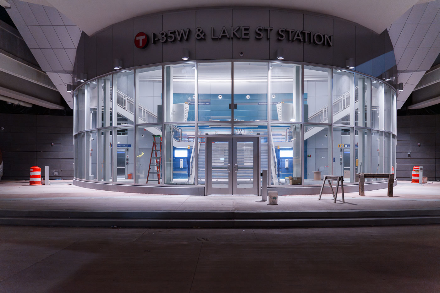
I35W and Lake Street Station development
The I-35W & Lake Street Station in Minneapolis is a multimodal transit hub serving bus routes and connecting to Interstate 35W. Construction was ongoing at the time this photograph was taken.

I-35W & Lake Street Station, Minneapolis
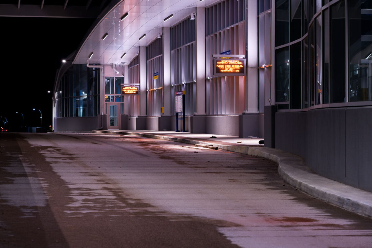
35W Transit Center Under Construction
Construction continues on the 35W Transit Center in South Minneapolis, a key component of the Interstate 35W corridor improvements. This facility is designed to serve as a major hub for Metro Transit bus routes, connecting commuters across the Twin Cities metropolitan area.

35W Transit Center Construction Night
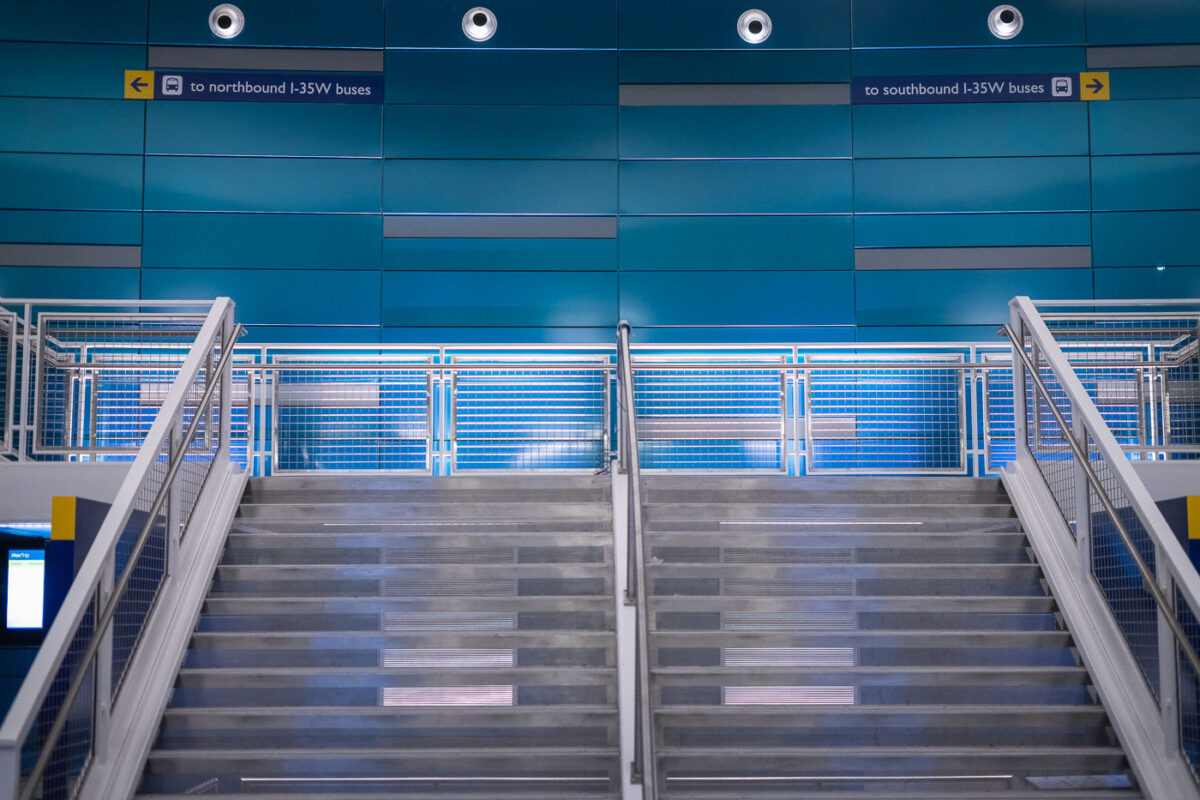
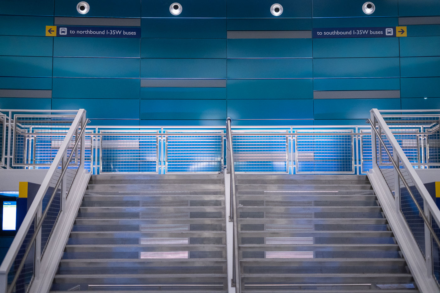
I-35W & Lake Street Transit Center stairs in Minneapolis.
I-35W & Lake Street Transit Center in Minneapolis. The station serves Metro Transit buses on the I-35W corridor and opened as part of the area’s bus rapid transit network.

I-35W & Lake Street Transit Center, Minneapolis
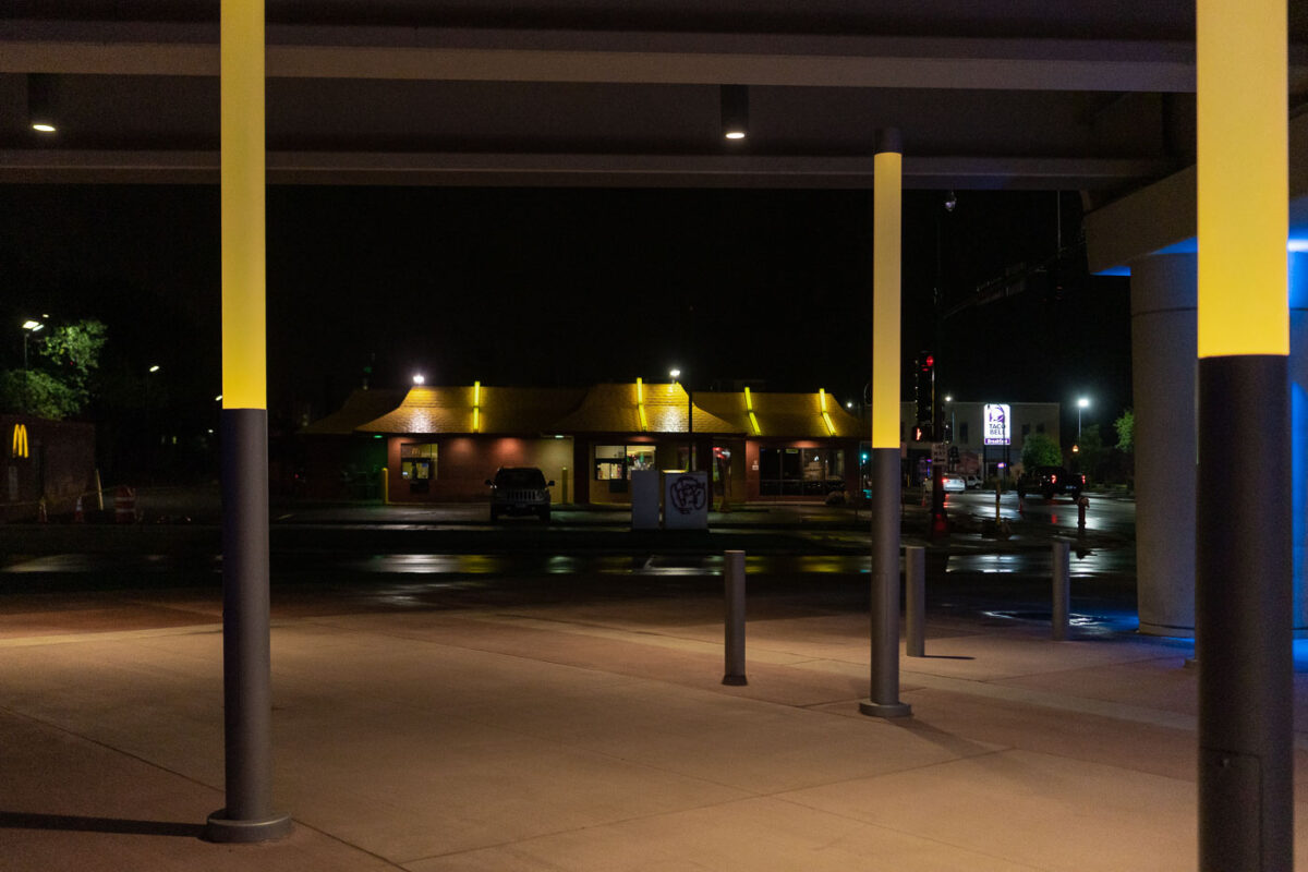
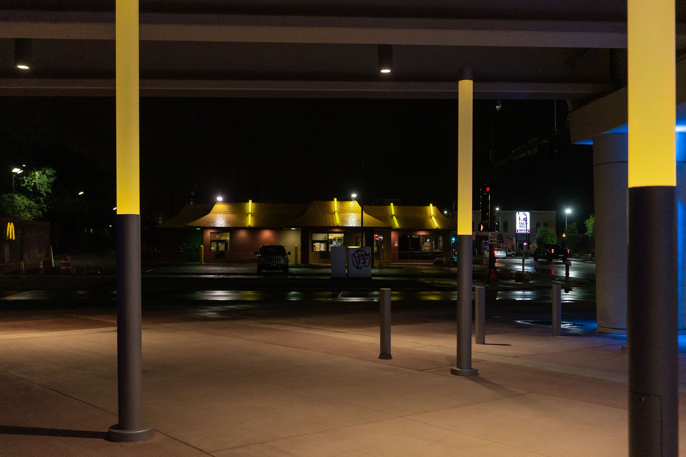
The I-35W Lake Street Station in Minneapolis is illuminated at night, with nearby McDonald's and Taco Bell establishments visible.
The I-35W Lake Street Station in Minneapolis is a transit hub serving South Minneapolis. The station is part of the Metro Transit system and is located near Interstate 35W. The surrounding area includes commercial establishments such as a McDonald's and a Taco Bell, indicating the station's integration into the local urban environment. Its nighttime illumination highlights the functional aspects of the infrastructure, serving commuters and travelers throughout the evening.

I-35W Lake Street Station at Night, Minneapolis
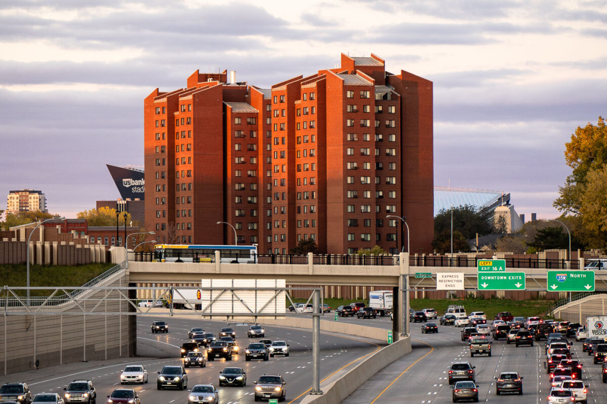
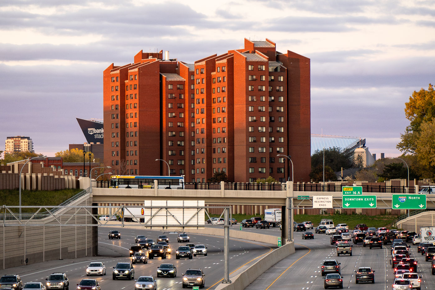
Fifth Avenue High-Rise public housing tower stands near Interstate 35W in Minneapolis, with U.S. Bank Stadium nearby.
The Fifth Avenue High-Rise is a Minneapolis Public Housing Authority property completed in the early 1970s, built to provide affordable apartments for seniors and residents with disabilities. It stands near Interstate 35W, just east of downtown Minneapolis, within a cluster of similar residential towers built during the same period of public housing construction. U.S. Bank Stadium, home of the Minnesota Vikings since 2016, sits nearby along the eastern edge of downtown.

Fifth Avenue High-Rise Public Housing Tower, Minneapolis
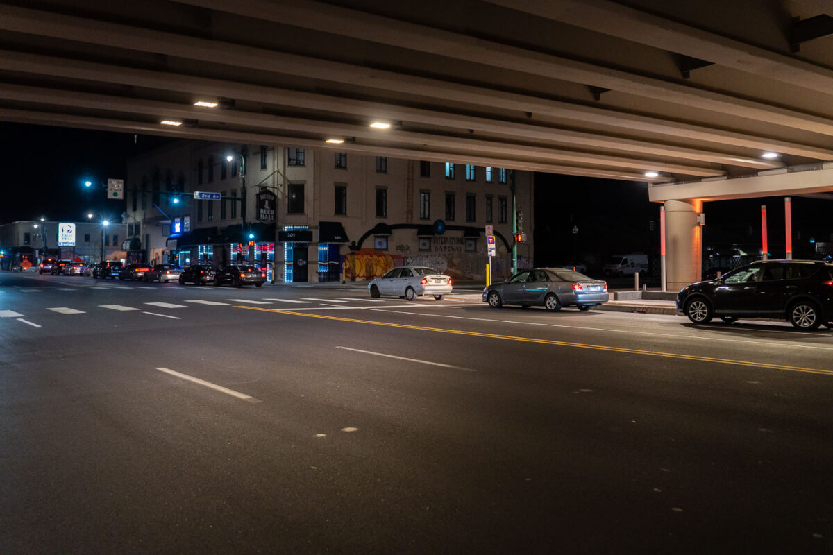
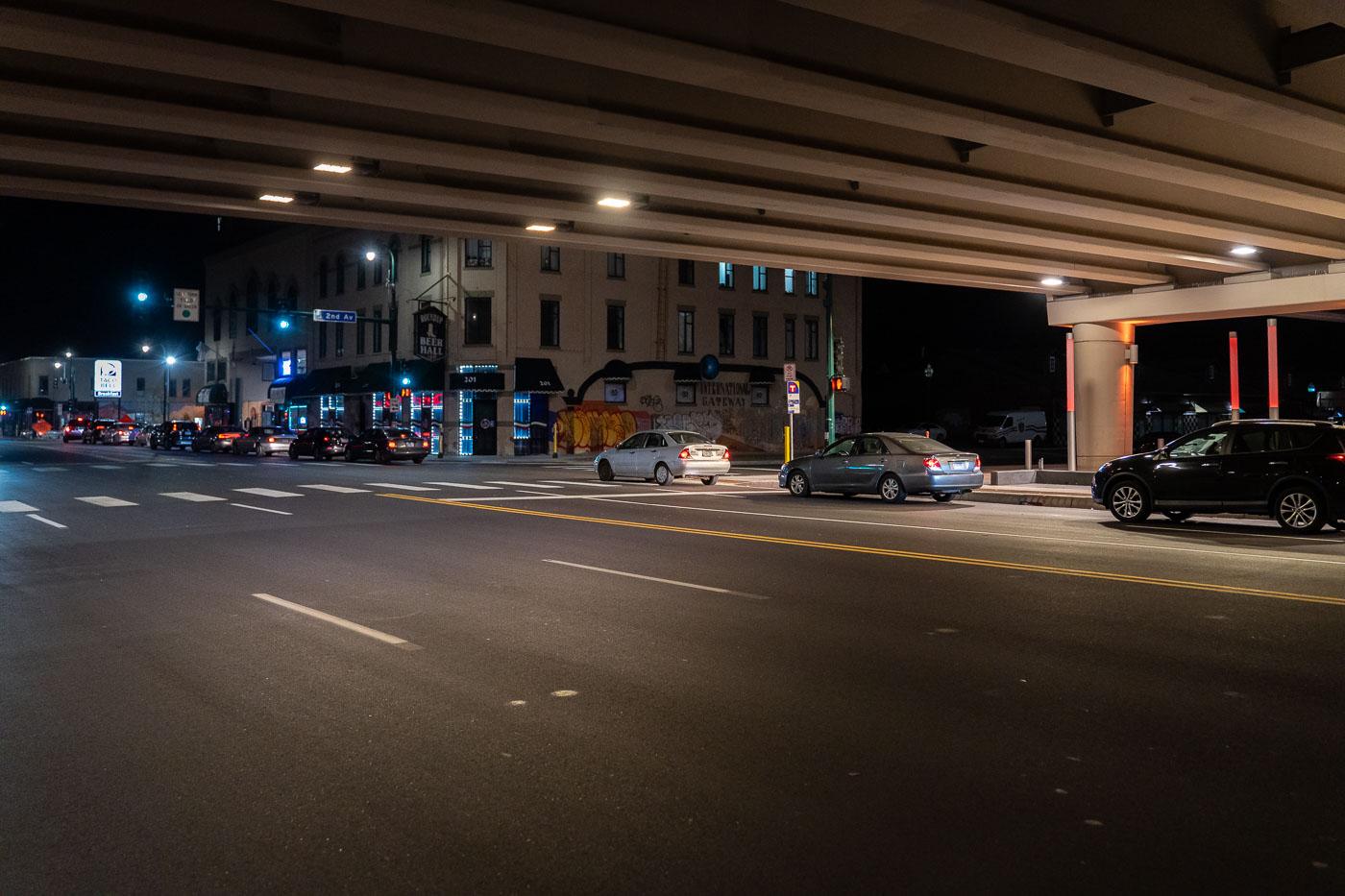
Taco Bell Line on Lake Street in Minneapolis
Cars in line for Taco Bell on Lake Street in the early morning hours of November 2021.

Taco Bell Line on Lake Street in Minneapolis

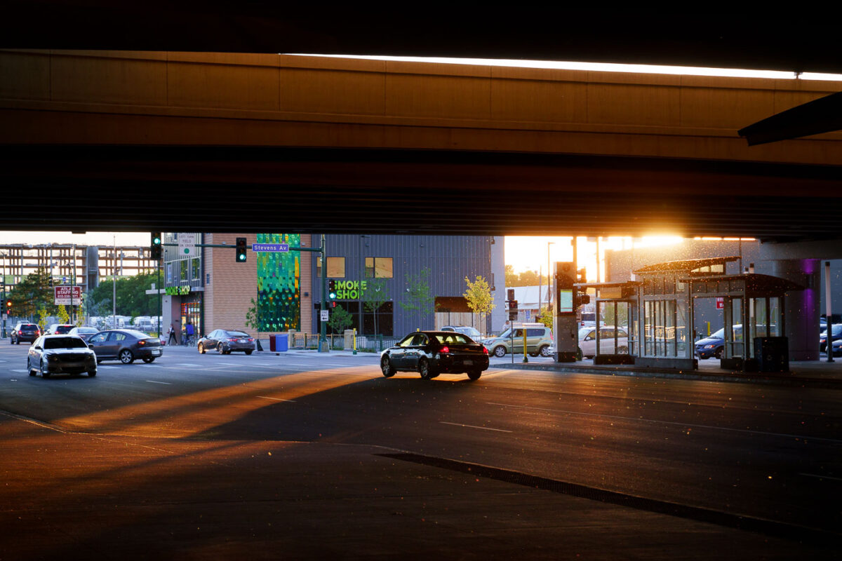
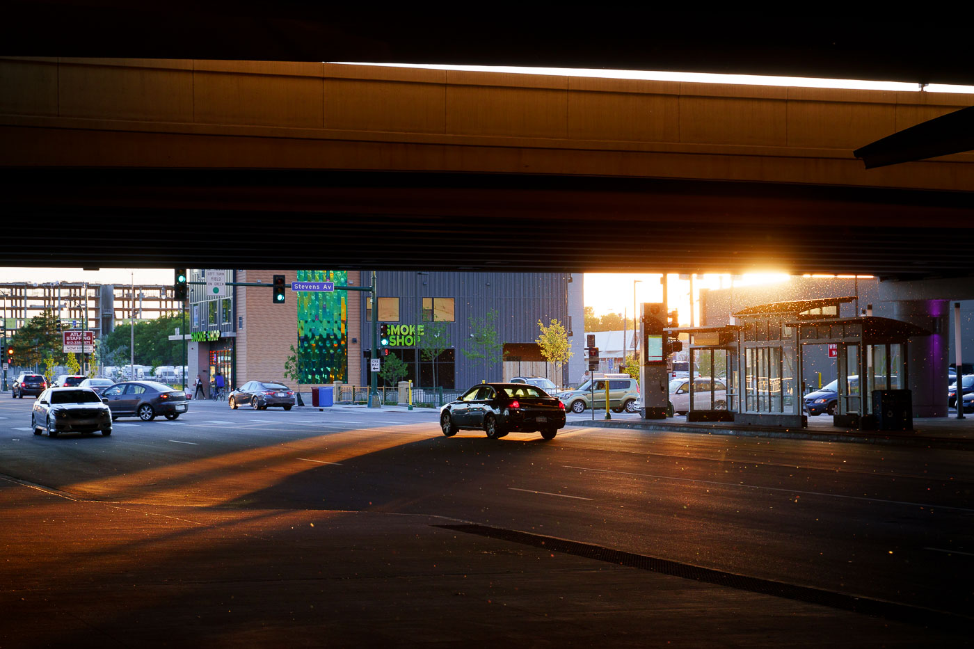
Sun goes down under I35W in Minneapolis
Sunset casts long shadows under the Interstate 35W bridge at the Lake Street Station in Minneapolis.

Sunset under I-35W at Lake Street, Minneapolis
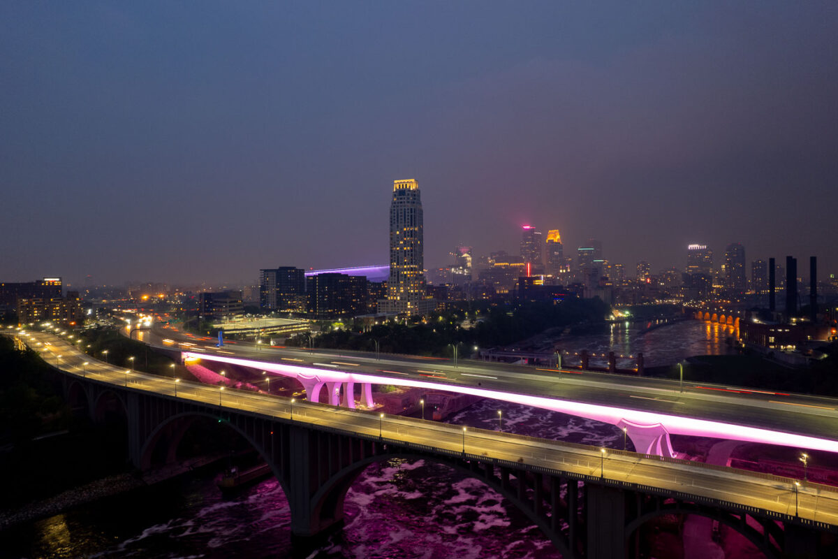
2 bridges over the Mississippi River and city skyline
The I-35W Bridge and the 10th Avenue Bridge cross the Mississippi River in Minneapolis, Minnesota, under a sky obscured by smoke from Canadian wildfires. This atmospheric condition, which led to air quality advisories, significantly reduced visibility across the city. The I-35W Bridge serves as a major north-south transportation route, while the 10th Avenue Bridge, with its distinctive arches, is a notable element of the city's infrastructure.

Minneapolis I-35W Bridge in Wildfire Smoke
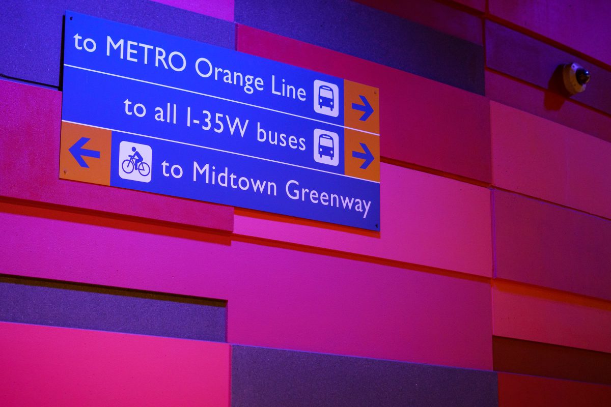
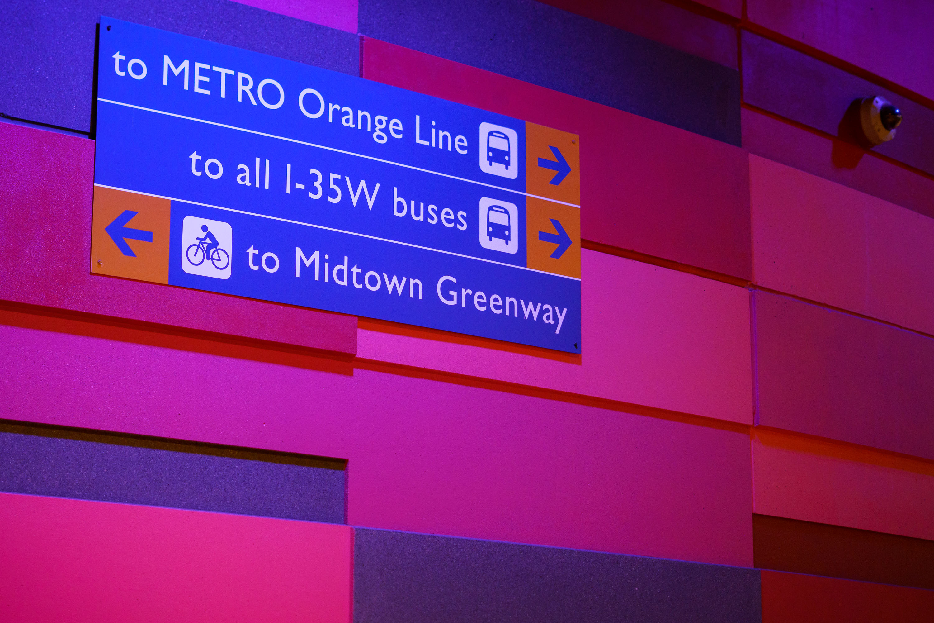
Directional signage at I-35W & Lake Street Station in Minneapolis indicating transit routes to Metro Orange Line, I-35W buses
The I-35W & Lake Street Station serves the METRO Orange Line, a bus rapid transit route that opened in December 2021 connecting downtown Minneapolis to Burnsville along the I-35W corridor. The station also functions as a transfer point for local buses serving the I-35W corridor and sits near the Midtown Greenway, a former rail corridor converted into a bicycle and pedestrian trail that runs roughly five miles across south Minneapolis. Metro Transit, the regional transit agency for the Twin Cities, operates both the bus routes and the station's wayfinding signage.

Wayfinding Sign, I-35W & Lake Street Station
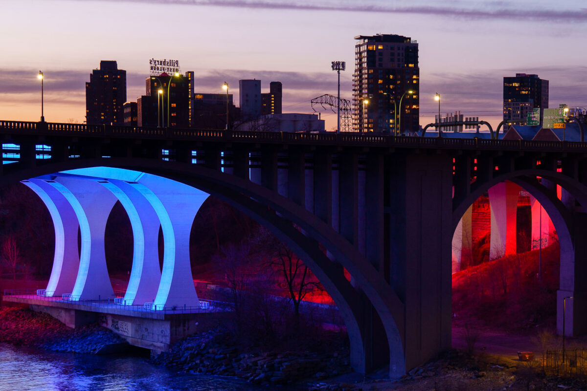
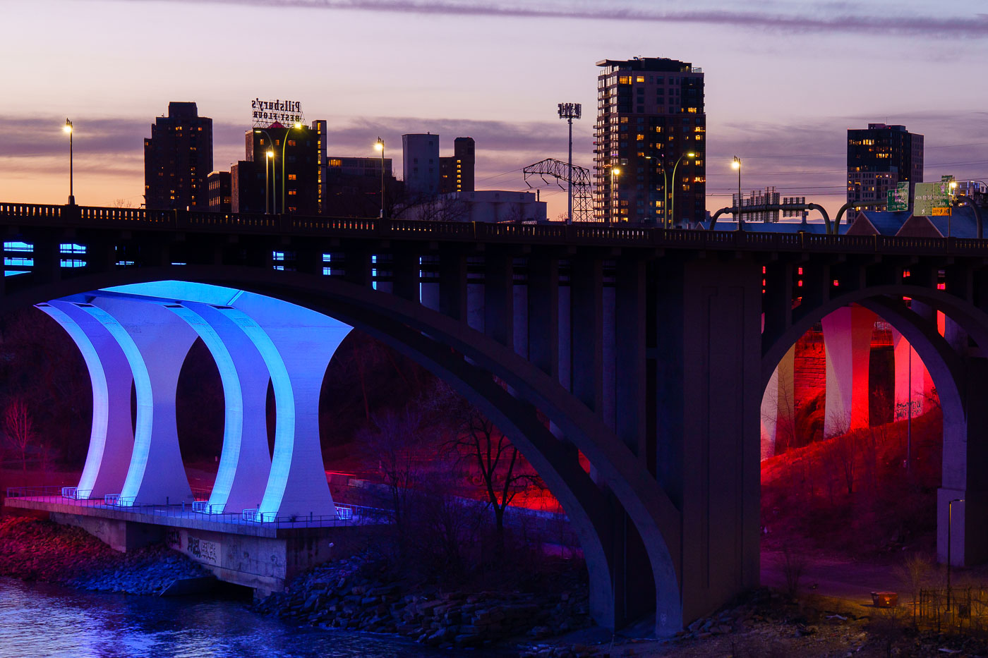
The 10th Avenue Bridge illuminated in blue and the I-35W Bridge lit in red span the Mississippi River at dusk in Minneapolis.
The 10th Avenue Bridge and the I-35W Bridge span the Mississippi River near downtown Minneapolis at sunset in March 2024.

10th Avenue Bridge Lit Blue and Red Over the Mississippi River
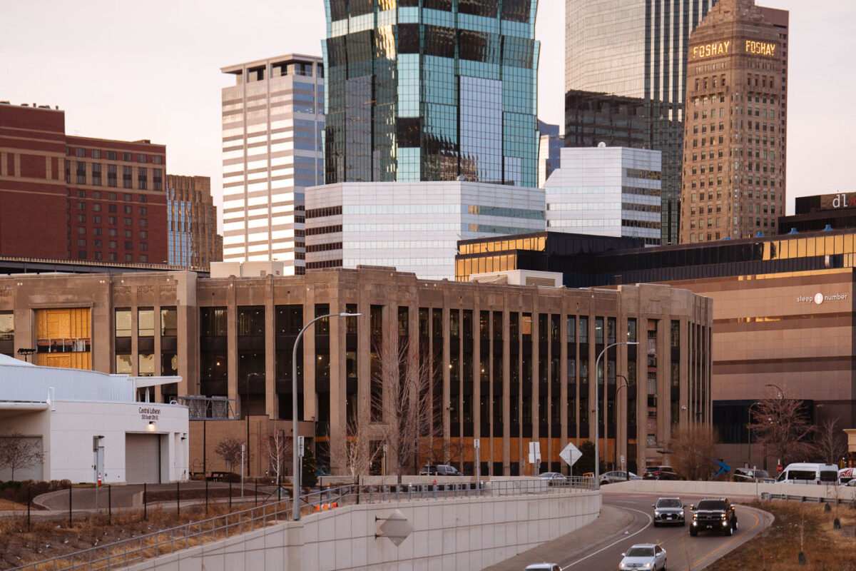
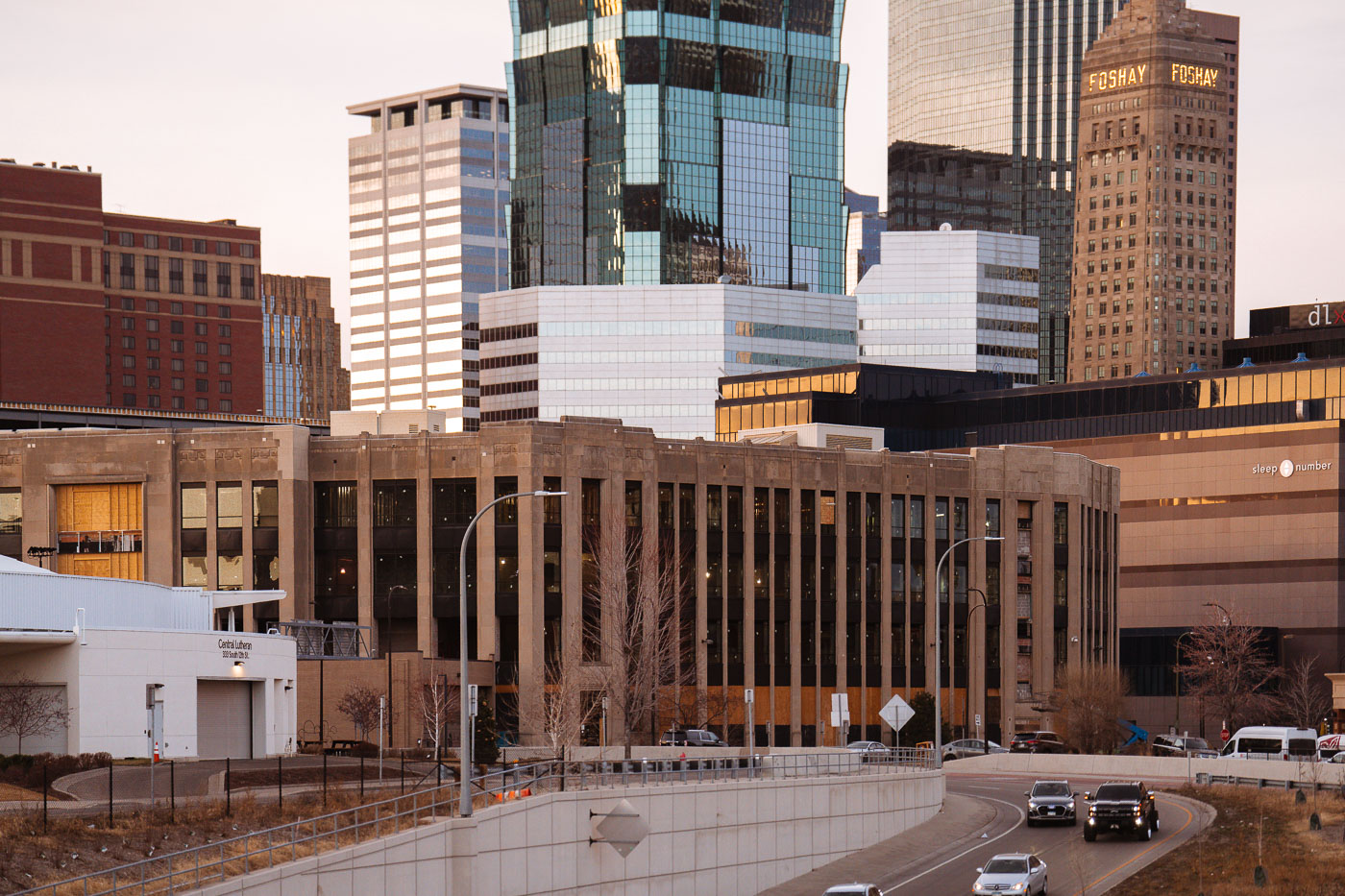
Century Plaza building under renovation for Minneapolis Police 1st Precinct station in downtown Minneapolis skyline.
Century Plaza in Downtown Minneapolis is undergoing renovation to become the new Minneapolis Police 1st Precinct station.

Century Plaza Renovation Beneath the Foshay Tower, Minneapolis
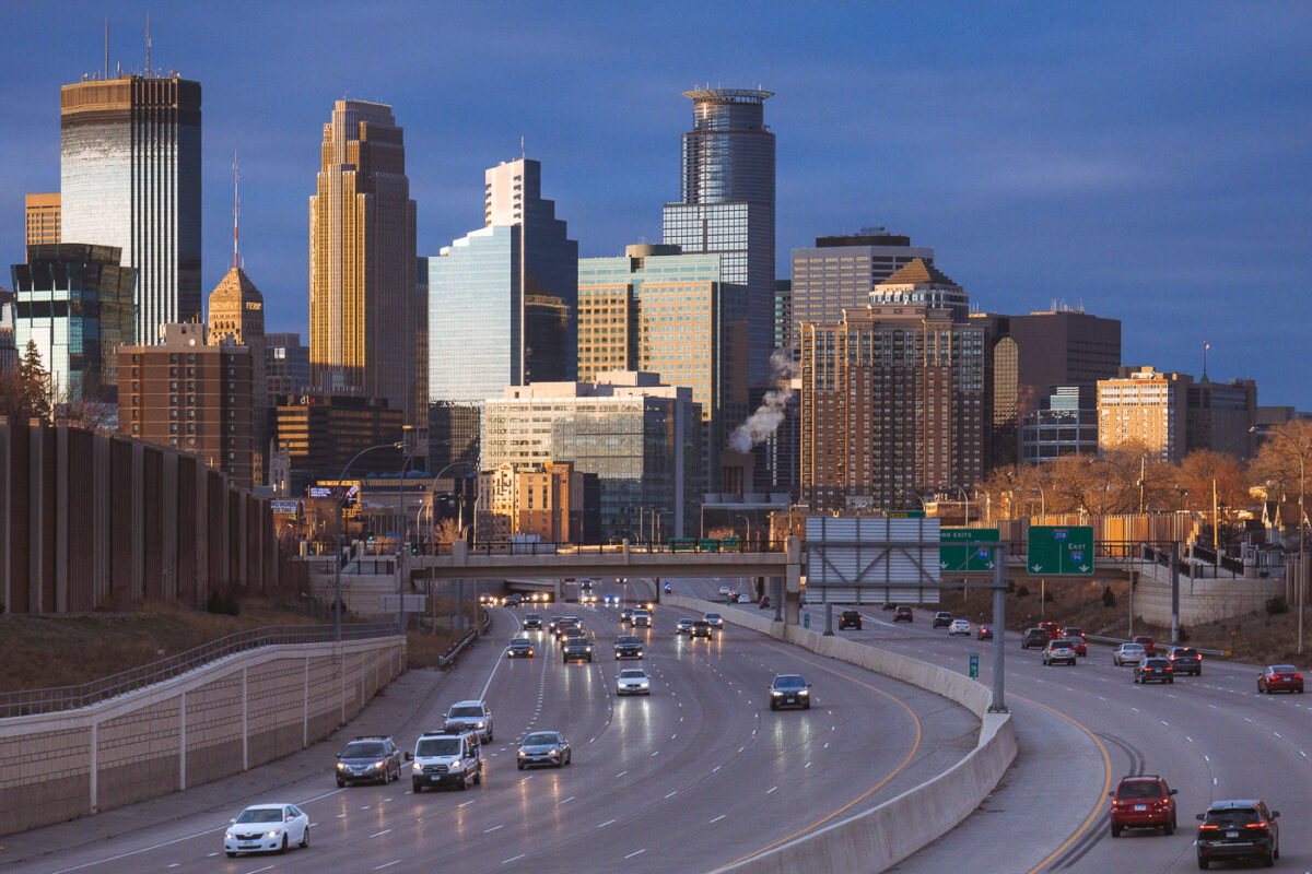
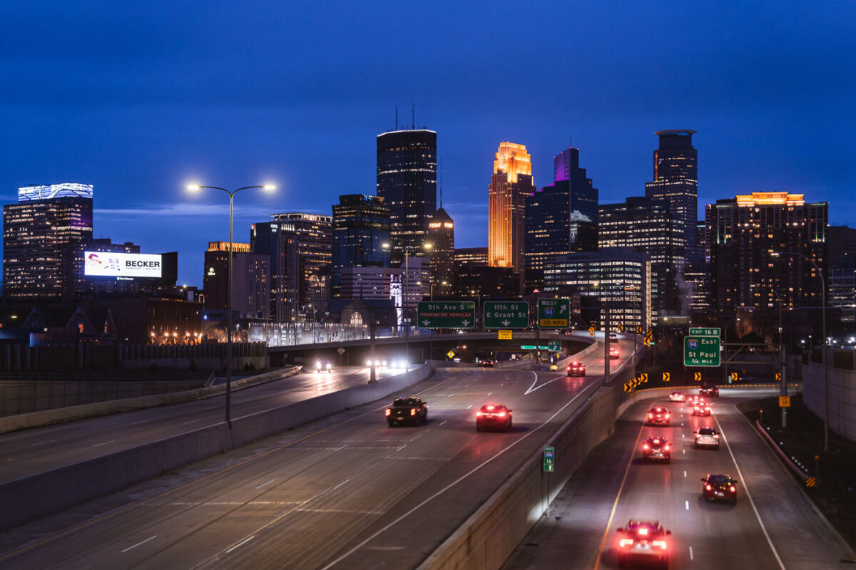
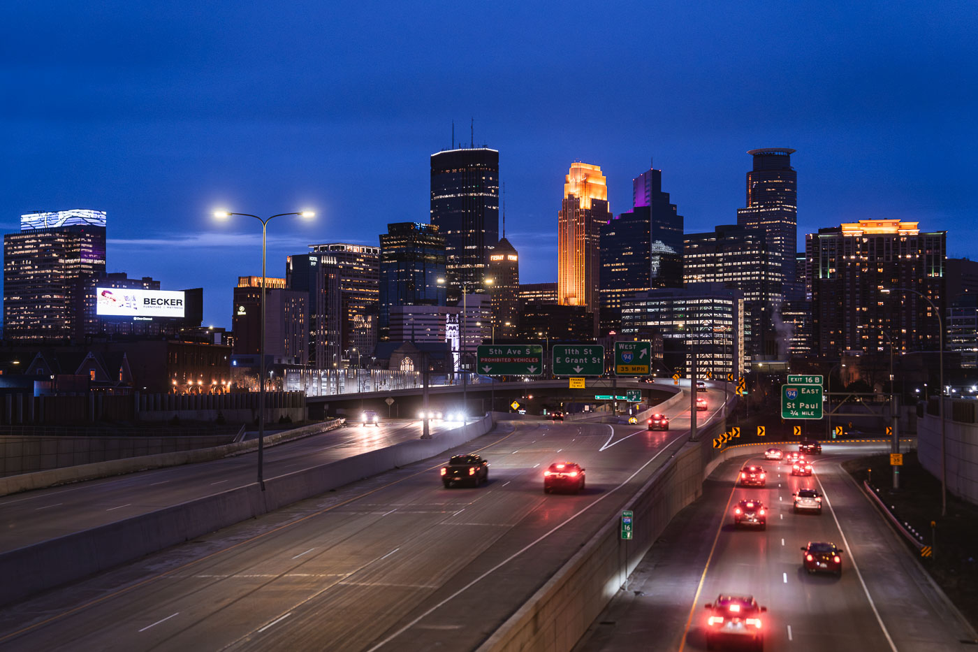
Cars on the interstate and downtown Minneapoplis skyline
Downtown Minneapolis, viewed from Interstate 35W in South Minneapolis in March 2024.
Downtown Minneapolis from I-35W, March 2024

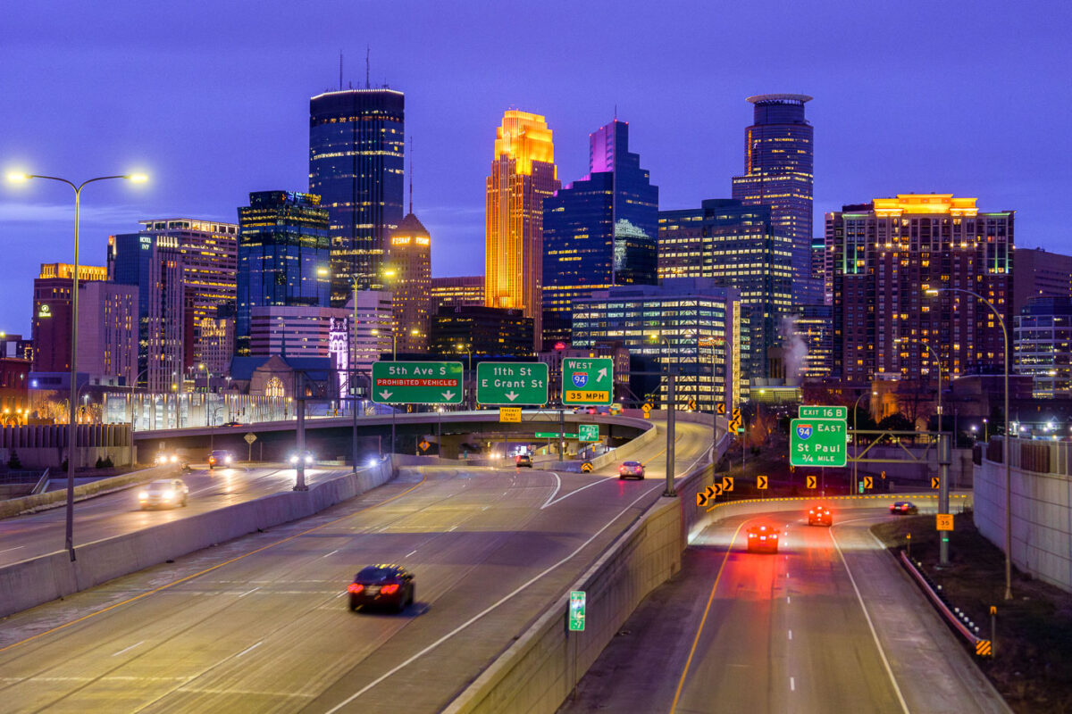
Minneapolis skyline from I35W in April 2024
The Downtown Minneapolis skyline rises above Interstate 35W, a vital north-south freeway corridor, as seen in April 2024.
Downtown Minneapolis Skyline from I-35W Bridge, April 2024
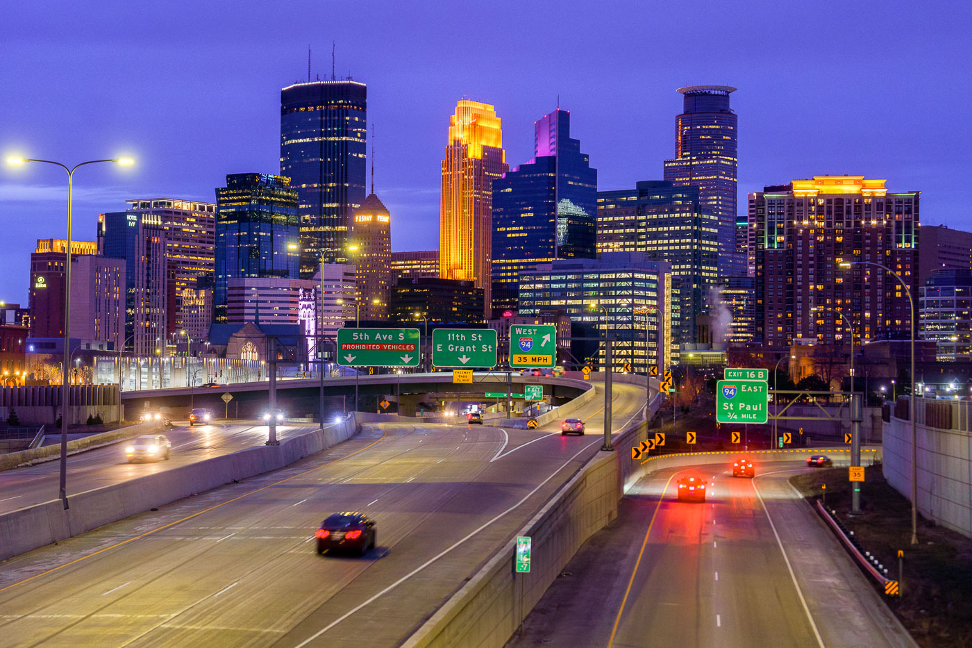
Minneapolis Downtown Skyline from 35W in April 2024
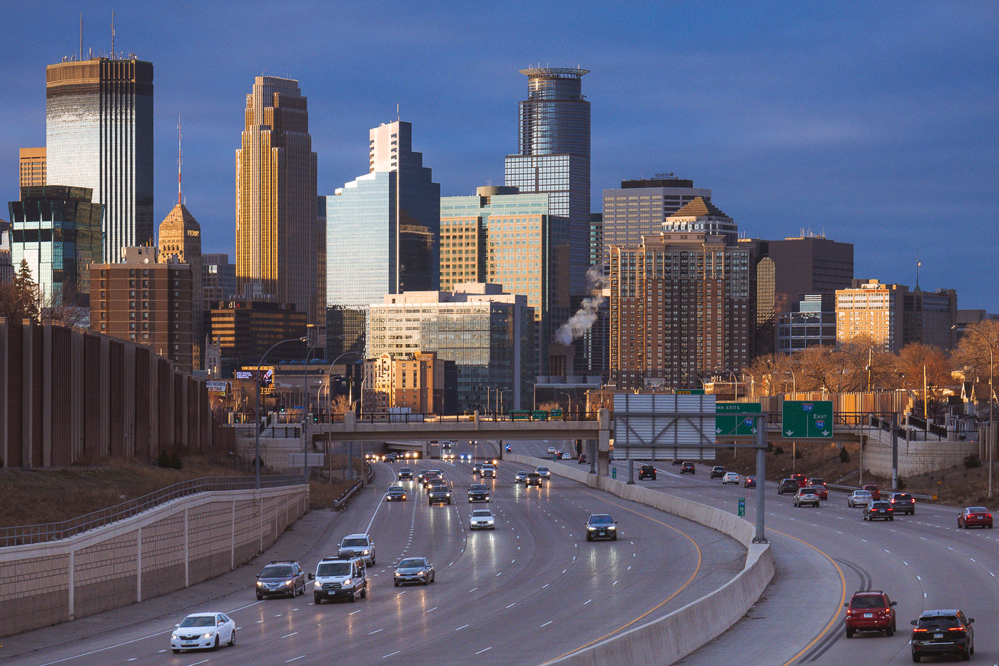
The Minneapolis downtown skyline is seen from Interstate 35W at dusk in April 2024. Interstate 35W functions as a critical north-south transportation artery, connecting the city's core with its surrounding metropolitan area and facilitating regional travel.

Minneapolis Downtown Skyline from I-35W at Dusk, April 2024
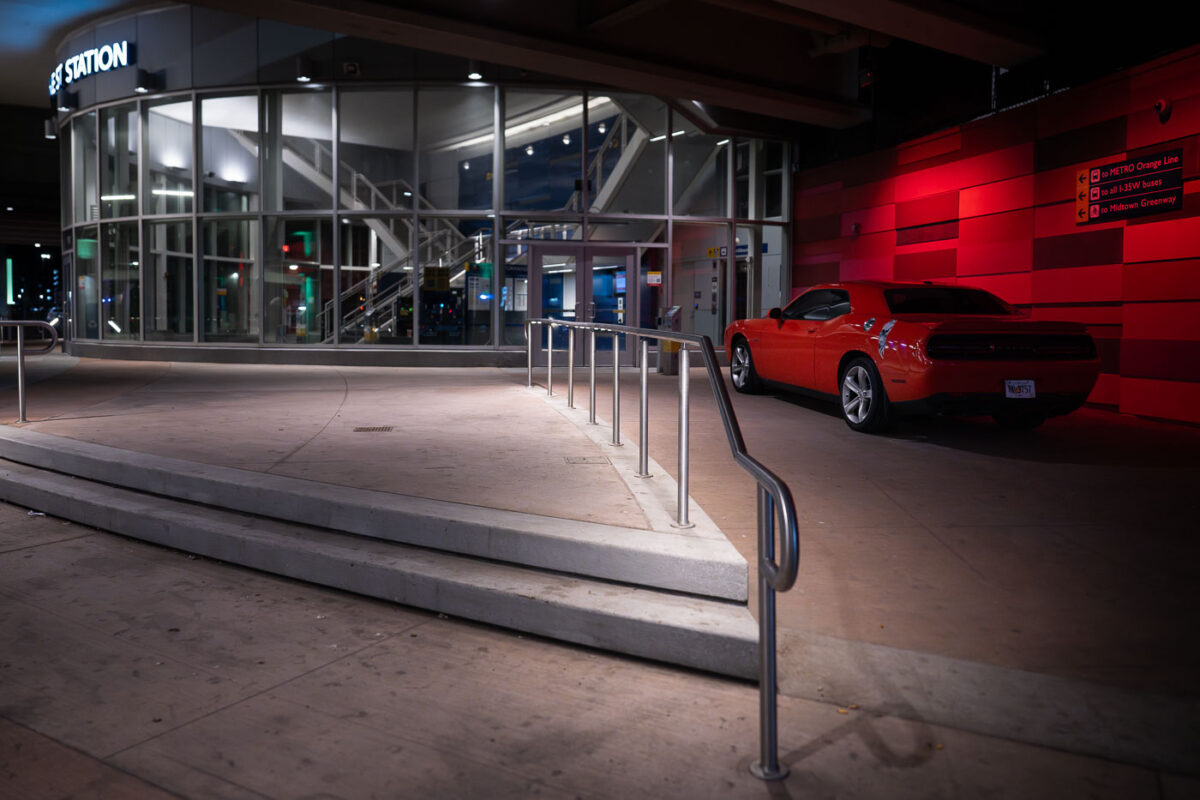
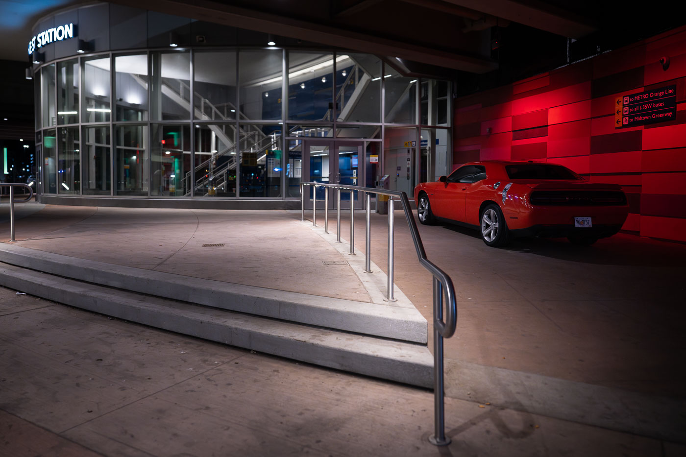
Orange Dodge Challenger parked outside the I-35W/Lake Street Transit Station in Minneapolis at night.
The I-35W/Lake Street Transit Station in Minneapolis is depicted at night, with a security vehicle parked prominently outside.

Orange Dodge Challenger at I-35W/Lake Street Station at Night
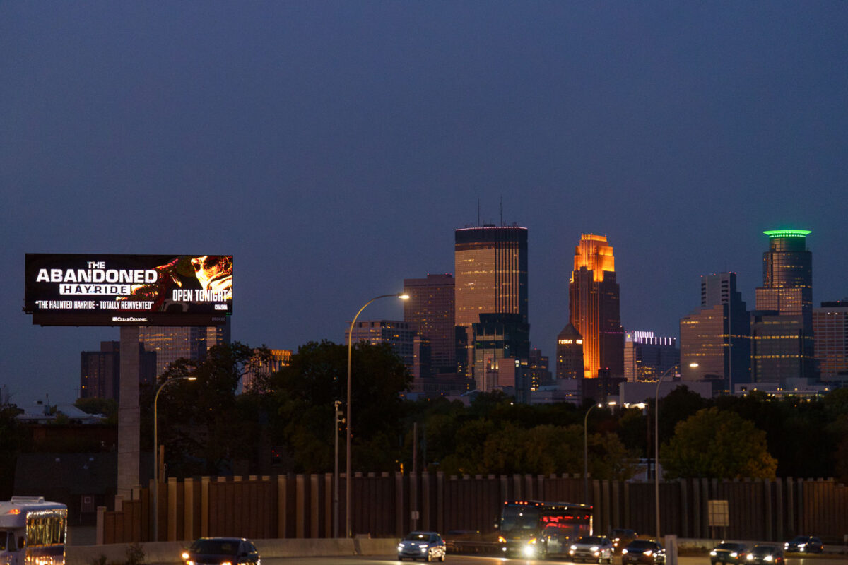
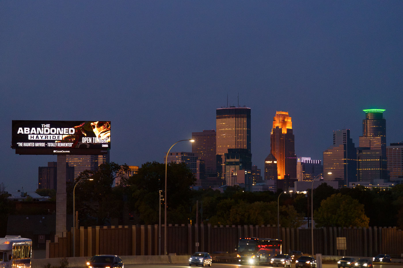
A billboard advertising The Abandoned Hayride haunted attraction stands along Interstate 35W with Minneapolis downtown skyline illuminated at dusk.
A digital billboard along Interstate 35W advertises "The Abandoned Hayride," billed as "The Haunted Hayride, Totally Reinvented" and open that night. The attraction is a seasonal Halloween event held each fall in Chaska, Minnesota, about 20 miles southwest of Minneapolis.

“The Abandoned Hayride” Billboard Near the Minneapolis Skyline
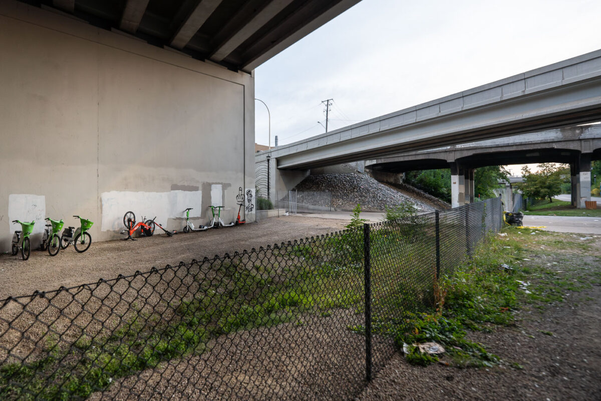
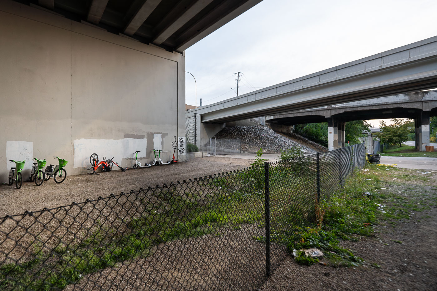
Spin and Lime Bikes need saving
Shared mobility bikes and scooters from Lime and Spin are seen behind a newly installed fence along the Midtown Greenway path in Minneapolis, beneath the Interstate 35W overpass. This section of the multi-use path, a vital east-west bicycle and pedestrian corridor, was closed while addressing ongoing concerns regarding open drug use that had been prevalent along this segment of the Greenway throughout the summer

Shared Bikes and Scooters Behind Fencing on the Midtown Greenway Under I-35W

Built in Minneapolis

Minneapolis Photographer

Browse by location, move through long-running series, or start with recent work.