Cityscape

79 photos · 2013–2024

79 photographs tagged Cityscape, 2013–2024.
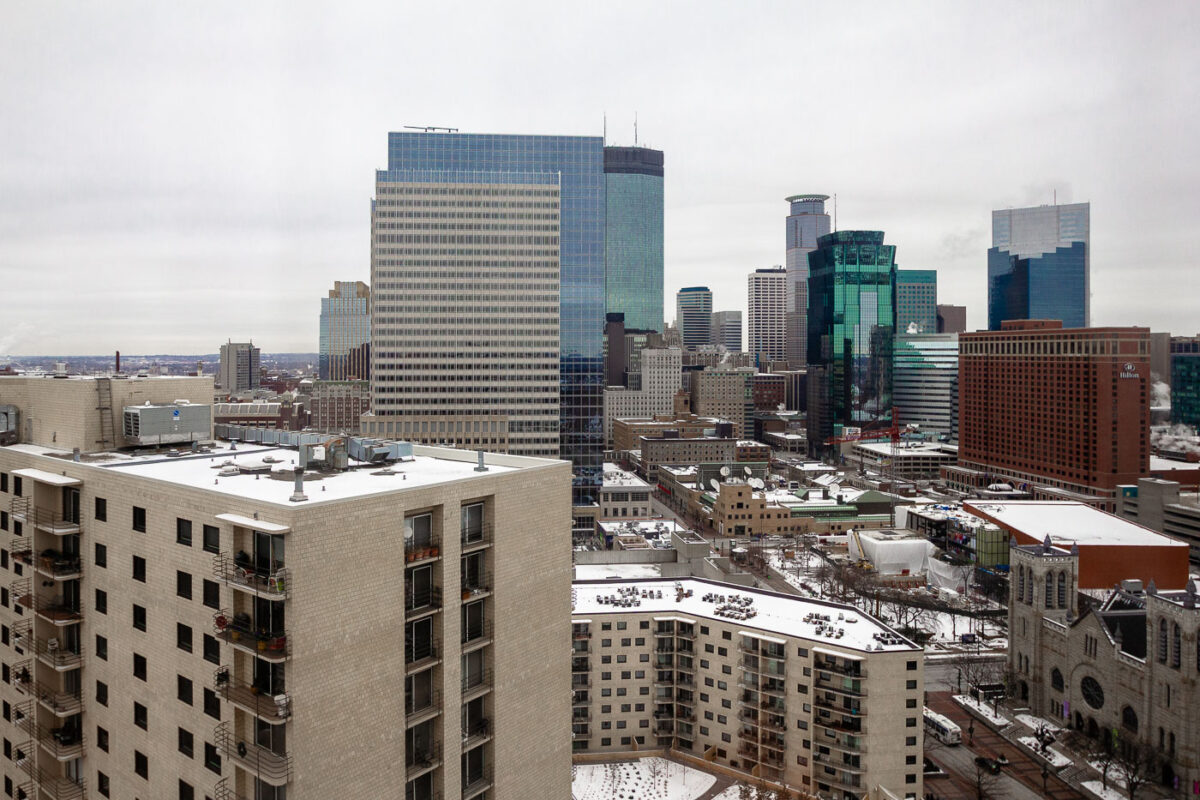
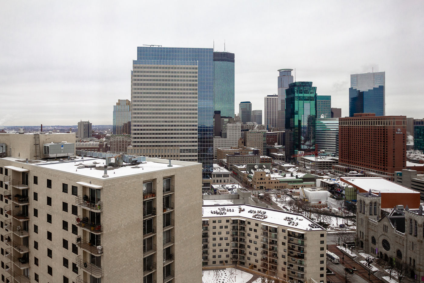
Downtown Minneapolis skyline from the Hyatt Regency Minneapolis, with snow-covered rooftops and office towers.
Downtown Minneapolis is visible from the Hyatt Regency Minneapolis. The skyline includes office towers, hotels, and church buildings in the city’s central business district. Snow covers rooftops and streets in winter.

Downtown Minneapolis Skyline from Hyatt Hotel
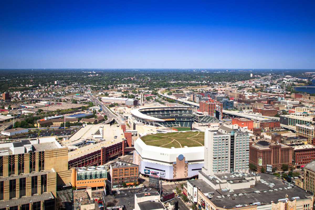
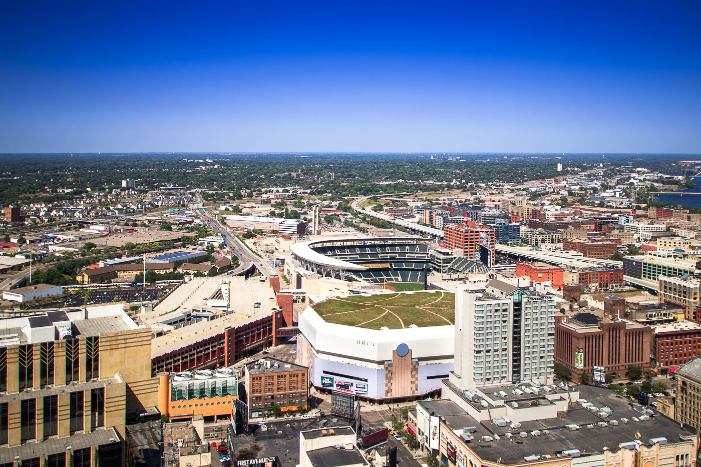
Target Field and Target Center sports venues in downtown Minneapolis, Minnesota.
Target Field is the open-air home ballpark of the Minnesota Twins, built on the former site of the Minneapolis Milling District along Fifth Street North. It opened in 2010 and seats about 39,000 for baseball. Target Center, the arena for the Minnesota Timberwolves, stands nearby and opened in 1990.

Aerial View of Target Field and Downtown Minneapolis
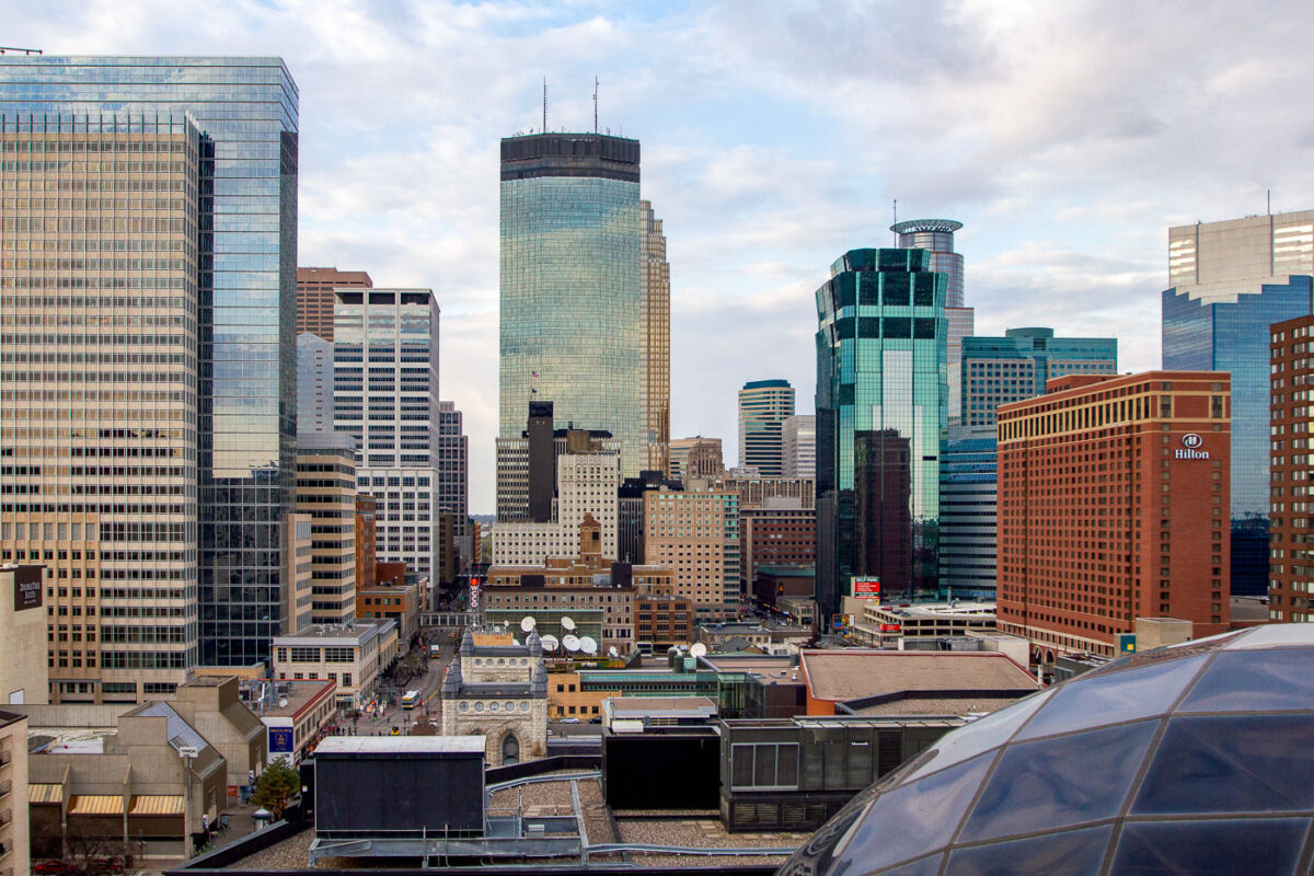
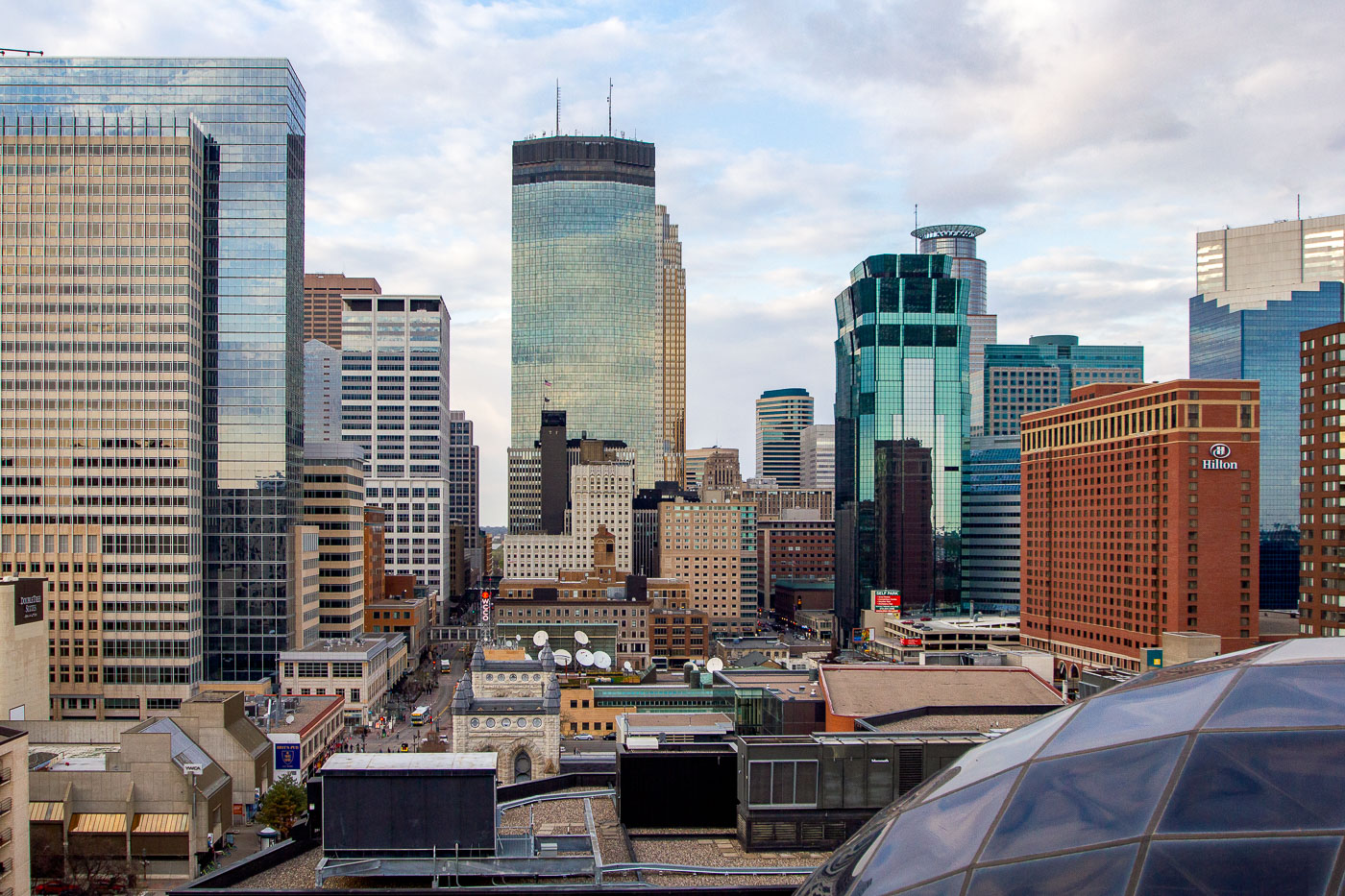
Minneapolis downtown skyline featuring the IDS Center and surrounding office and hotel towers.
The Minneapolis skyline is dominated by several prominent buildings, including the IDS Center, the city's first modern skyscraper completed in 1972, and the Hilton Minneapolis, a large hotel that opened in 1991. The IDS Center, designed by Philip Johnson and John Burgee, was once the tallest building in the Midwest and remains a significant architectural landmark.

Capella Tower and Hilton Minneapolis Rise Above Downtown
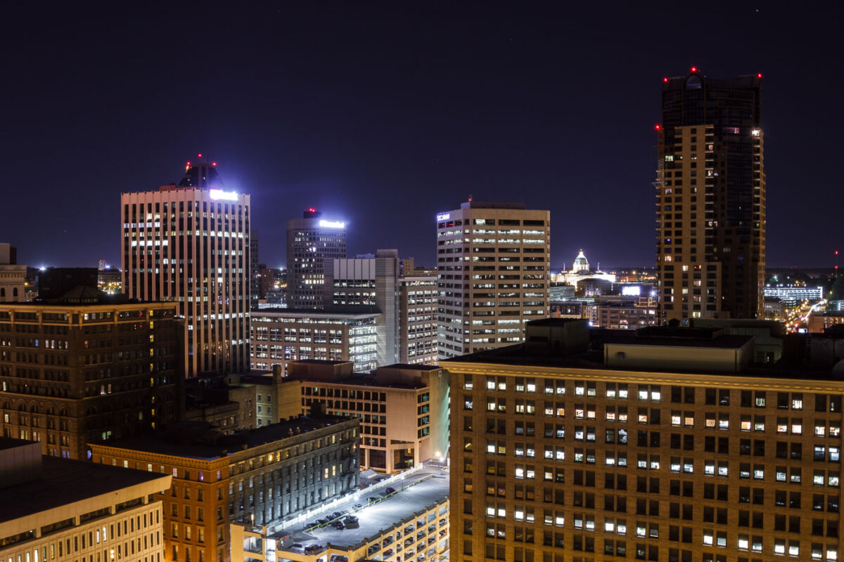
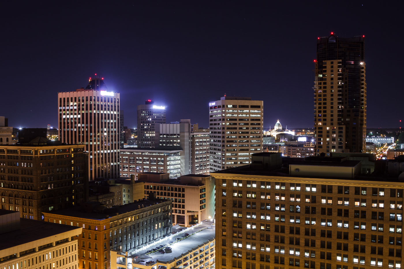
Downtown St. Paul skyline at night with the U.S. Bank Building and State Capitol dome.
Downtown St. Paul, Minnesota, at night, with the U.S. Bank Building among the city's office towers. The Minnesota State Capitol dome is visible in the distance. The skyline includes several commercial high-rises in the central business district.

Downtown St. Paul Skyline at Night

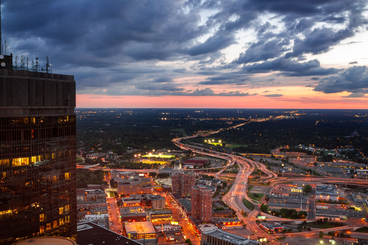
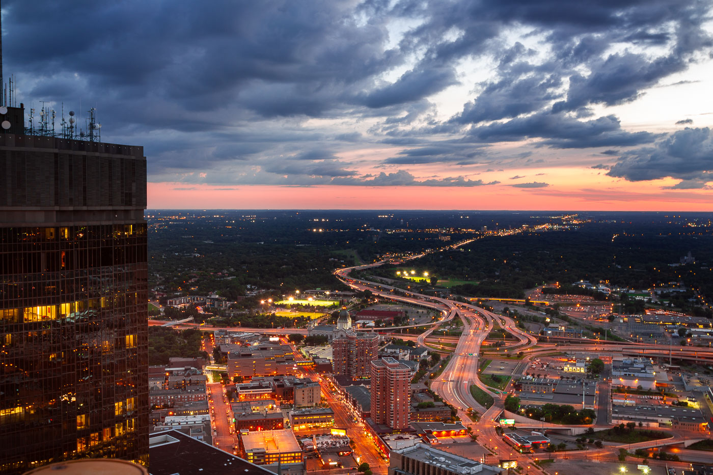
Minneapolis, Minnesota, at dusk, with the I-394 and I-94 interchange and the IDS Center.
Minneapolis, Minnesota, at dusk, with the I-394 and I-94 interchange linking downtown to the western suburbs. The freeway system channels regional traffic through the city’s central business district. The IDS Center stands at left.

Minneapolis I-394 and I-94 Interchange at Dusk
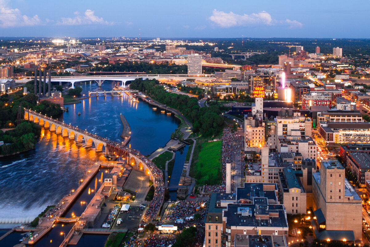
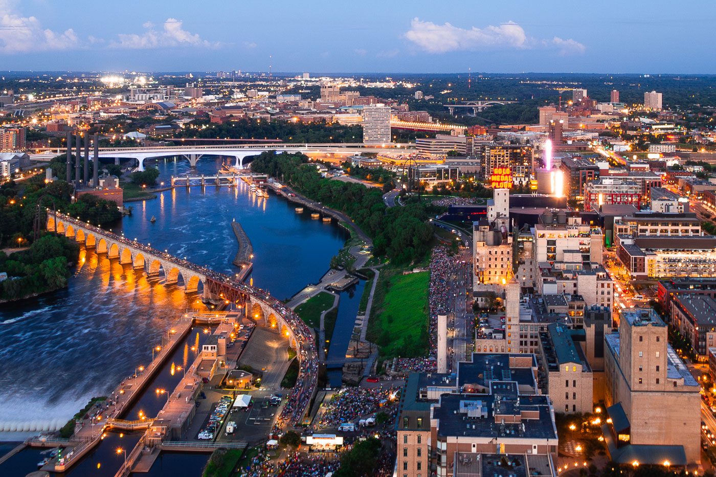
Minneapolis Aquatennial fireworks over the Mississippi River, with crowds on the Stone Arch Bridge and riverbanks.
The Minneapolis Aquatennial fireworks illuminate the night sky over the Mississippi River, with crowds gathered along its banks and on the Stone Arch Bridge. The Aquatennial, a summer festival established in 1941, celebrates Minneapolis and its connection to the river. The Stone Arch Bridge, originally built in 1883 for the Great Northern Railway, now serves as a pedestrian walkway and offers prime viewing for the annual event.

Minneapolis Aquatennial Fireworks over Mississippi River
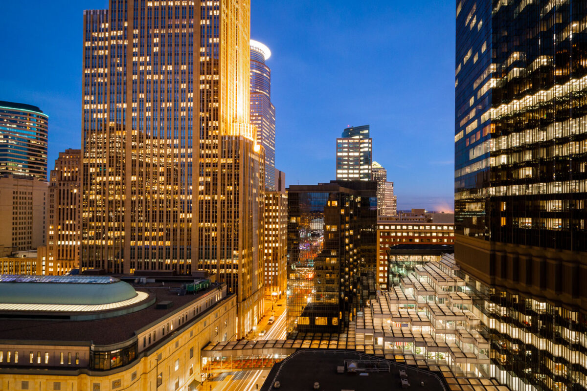
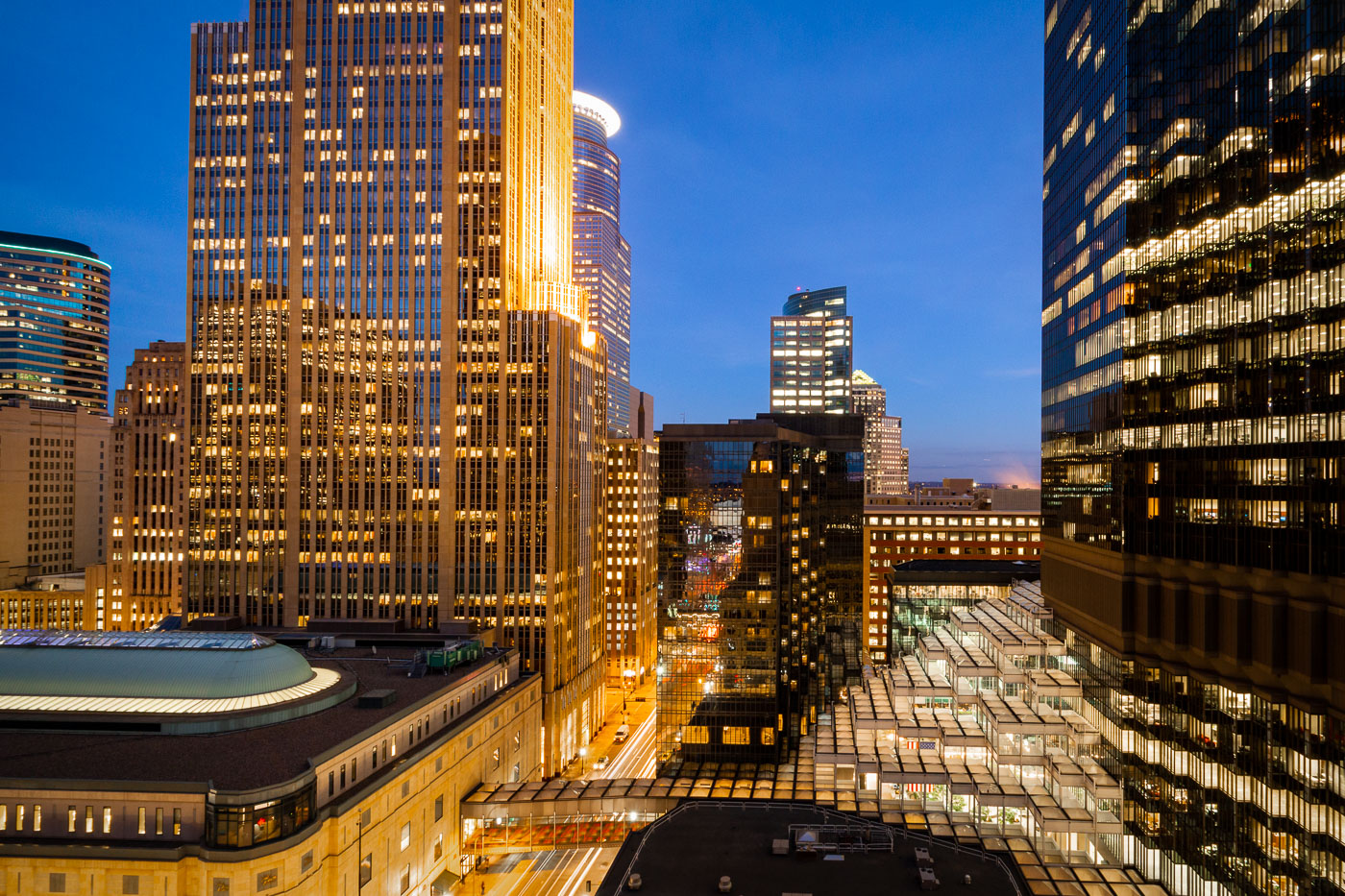
The IDS Center and Crystal Court in downtown Minneapolis at night, showcasing modernist architecture and urban infrastructure.
The IDS Center, completed in 1973, stands as a prominent skyscraper in downtown Minneapolis, designed by architect Philip Johnson. Adjacent to it is the Crystal Court, an enclosed public plaza that connects various buildings within the downtown area. The IDS Center was the tallest building in Minneapolis until 2000 and remains a significant example of modernist architecture. The Crystal Court serves as a vital pedestrian thoroughfare and a central gathering space, particularly notable for its climate-controlled environment, allowing for year-round use by the public.

Crystal Court and IDS Center, Downtown Minneapolis at Night
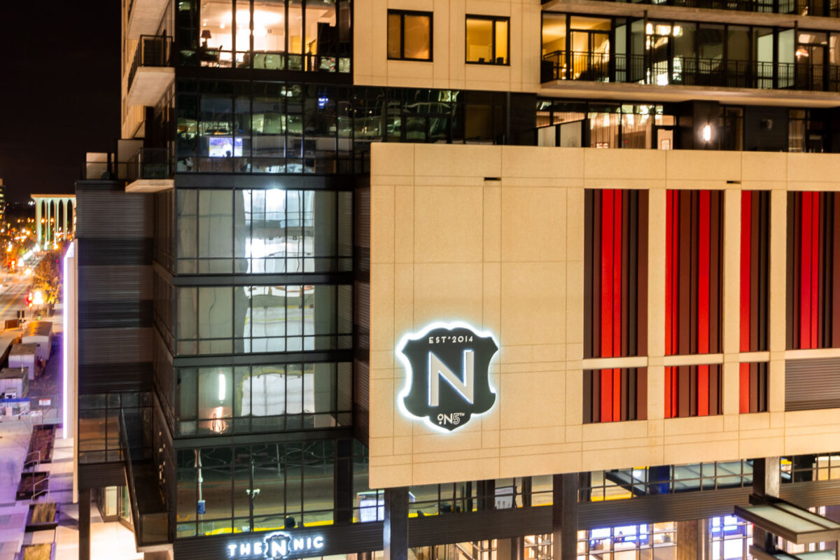
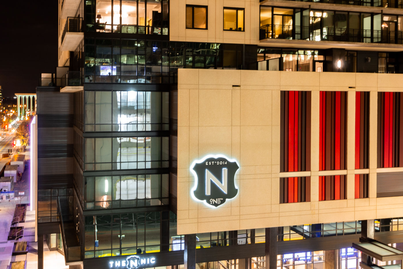
The Nic on Fifth, a mixed-use high-rise completed in 2014, is located in downtown Minneapolis, Minnesota.
The Nic on Fifth is a mixed-use high-rise located in downtown Minneapolis, Minnesota. Completed in 2014, the building features residential apartments and commercial spaces. Its modern architectural design incorporates glass, steel, and stone elements, contributing to the city's contemporary urban fabric. The building is situated on Fifth Street, a prominent thoroughfare in the city's central business district.

Nic On Fifth Apartment Building, Downtown Minneapolis
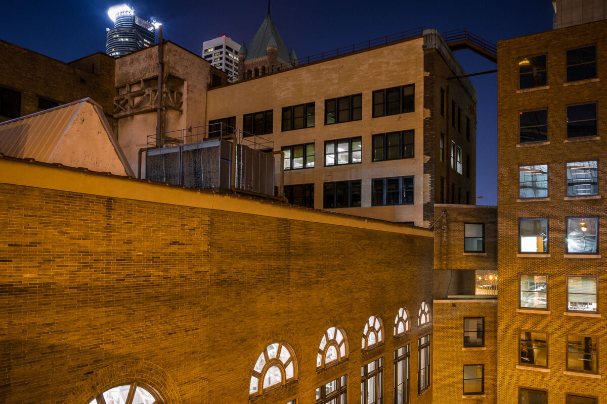
Minneapolis Grain Exchange skyway connects downtown Minneapolis buildings above street level.
Minneapolis Grain Exchange skyway in downtown Minneapolis links office and commercial buildings above street level. The enclosed pedestrian network is part of the city’s downtown skyway system, which connects buildings across several blocks. The historic Grain Exchange building anchors the area around the former agricultural trading center.

Minneapolis Grain Exchange Skyway at Night
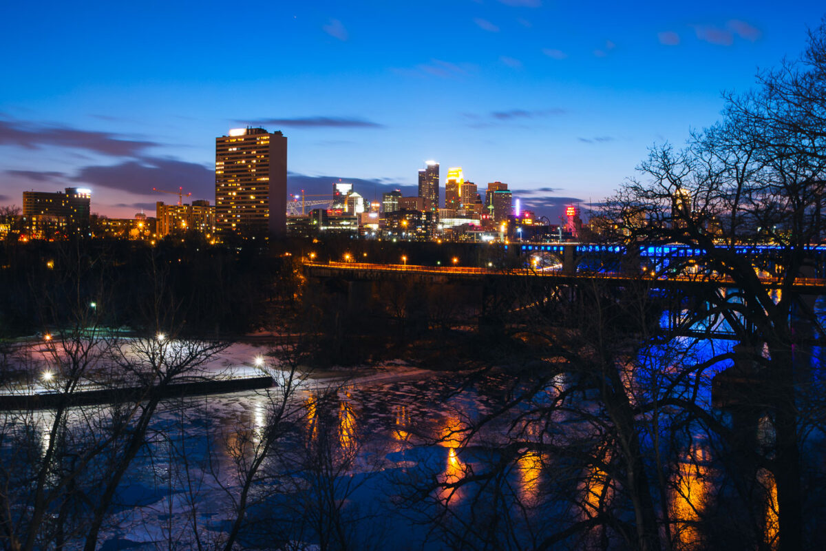
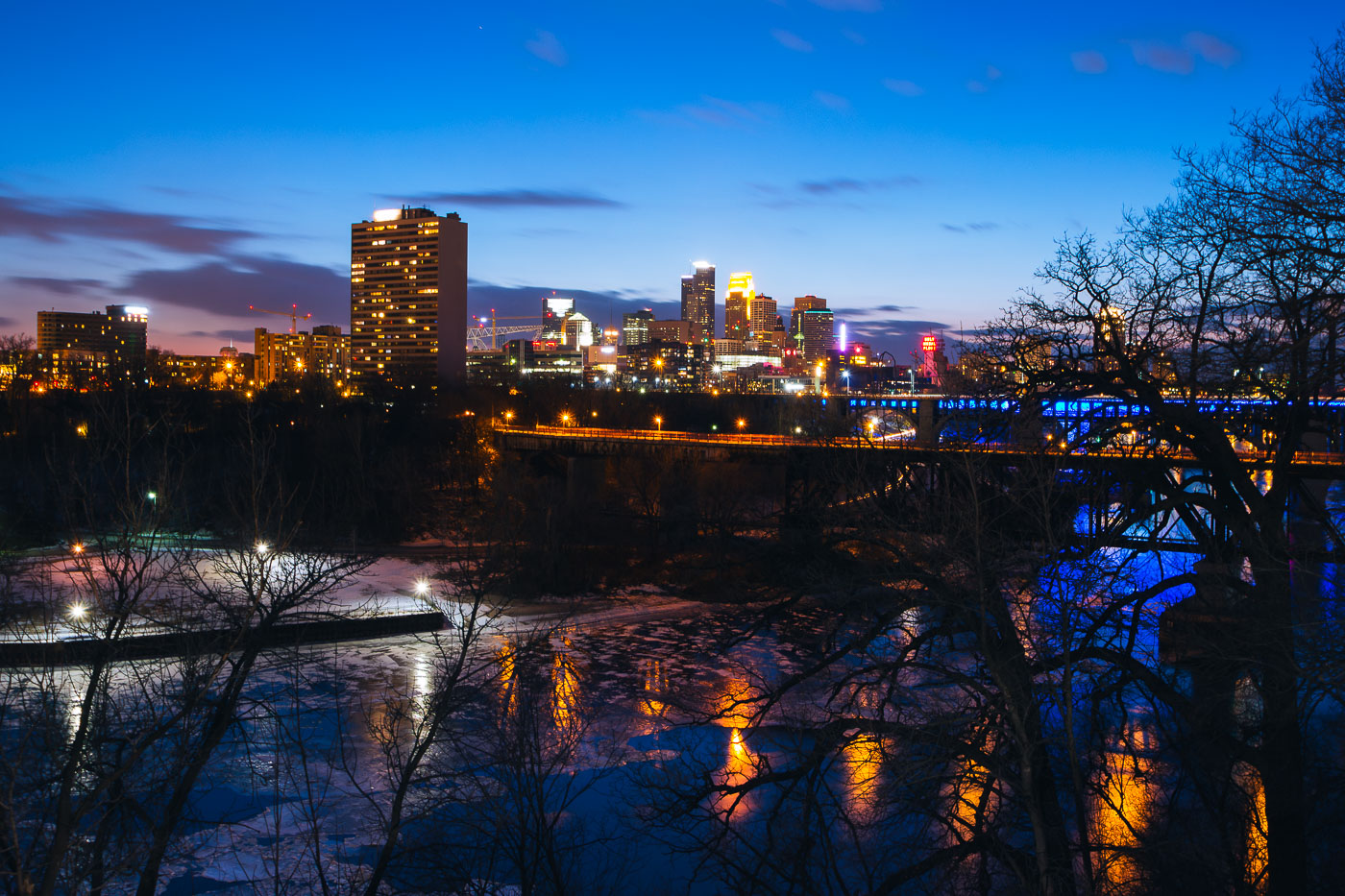
Minneapolis downtown skyline across the Mississippi River at blue hour, with a bridge and partial river ice.
Minneapolis downtown skyline rises across the Mississippi River at blue hour. The city center stands on the east bank of the river, with a bridge carrying traffic and lighting along the waterfront. Partial ice covers the river in the foreground during early March.

Minneapolis Downtown Skyline at Blue Hour Over Mississippi River
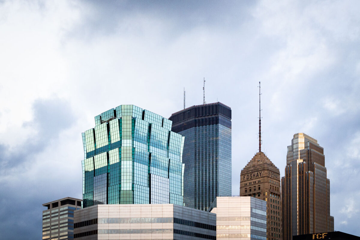
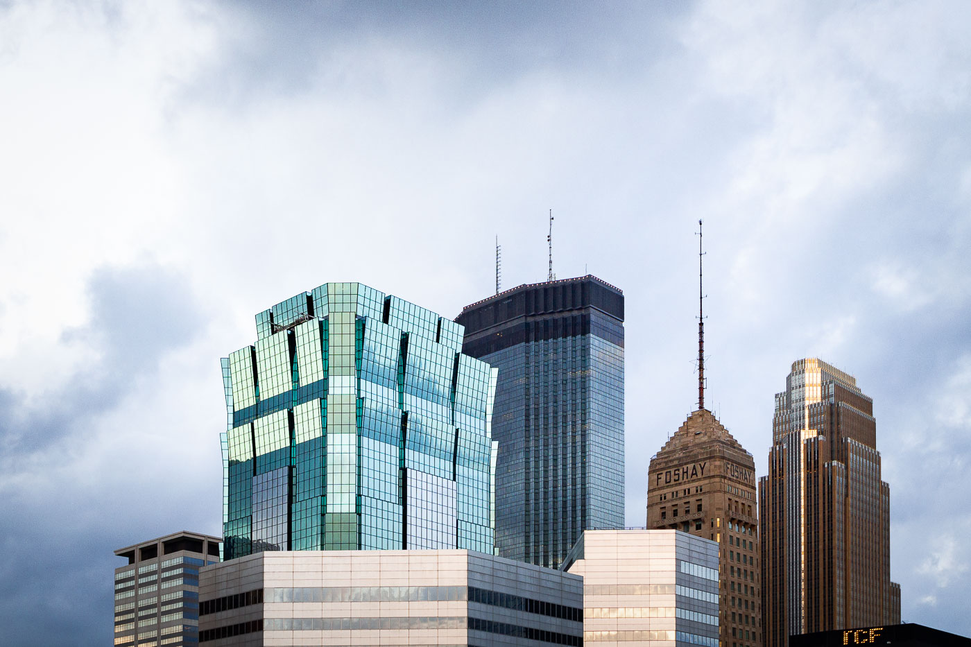
Minneapolis skyline featuring the 901 Marquette building, IDS Center, and Foshay Tower, with TCF Tower visible.
The Minneapolis skyline features several notable buildings, including the 901 Marquette building, the IDS Center, and the historic Foshay Tower. The Foshay Tower, completed in 1929, was once the tallest building in Minneapolis and served as a landmark for decades. The IDS Center, designed by Philip Johnson and John Burgee, was completed in 1973 and became the city's tallest building. The 901 Marquette building, a more recent addition, showcases modern architectural design with its distinctive glass facade.

901 Marquette, IDS Center, Foshay Tower, Minneapolis
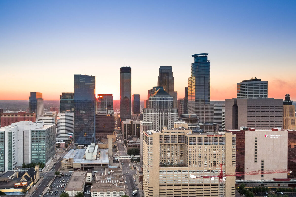
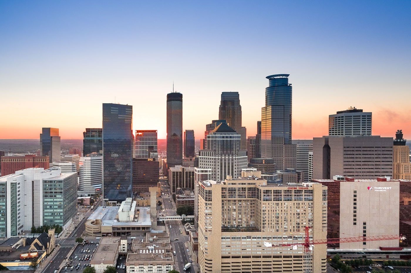
Minneapolis downtown skyline at sunset, showing the IDS Center, Capella Tower, and surrounding buildings.
Downtown Minneapolis is the city's business center, anchored by the IDS Center and Capella Tower. The IDS Center, completed in 1972, stands 792 feet tall and is the tallest building in Minnesota, while Capella Tower, finished in 1992, rises 775 feet with its signature crown of steel arches.

Capella Tower and the IDS Center Rise Above Downtown Minneapolis
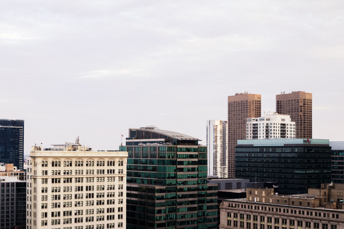
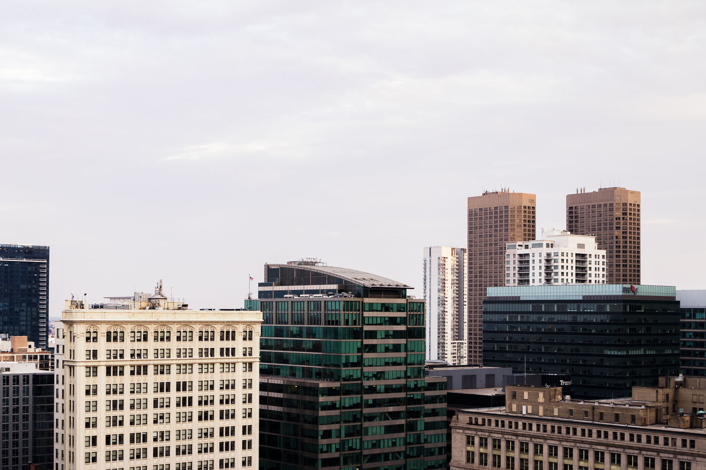
Downtown Chicago high-rises and historic commercial buildings in the Loop.
Downtown Chicago high-rises in and near the Loop, Chicago, include historic masonry commercial buildings and later office and residential towers. The Loop is Chicago’s central business district and contains a dense concentration of workplaces, hotels, residences, and retail space. This August 2015 cityscape records the varied building types that define the downtown core.

Downtown Chicago High-Rises, August 2015
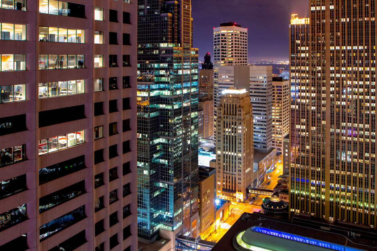
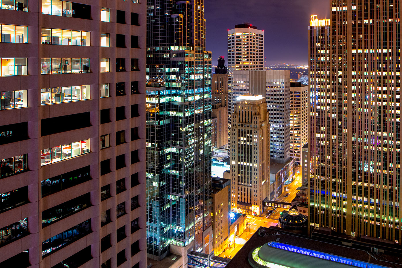
Downtown Minneapolis skyscrapers lit at night.
The core of Downtown Minneapolis is illuminated at night, showcasing a collection of office buildings and architectural styles. These structures represent the city's commercial and financial hub, with many dating back to the mid-20th century and later. The lights indicate ongoing activity within these business centers, reflecting their continued use for commerce and employment. This view highlights the density and verticality of the urban environment, characteristic of major American cities.

Downtown Minneapolis Buildings at Night
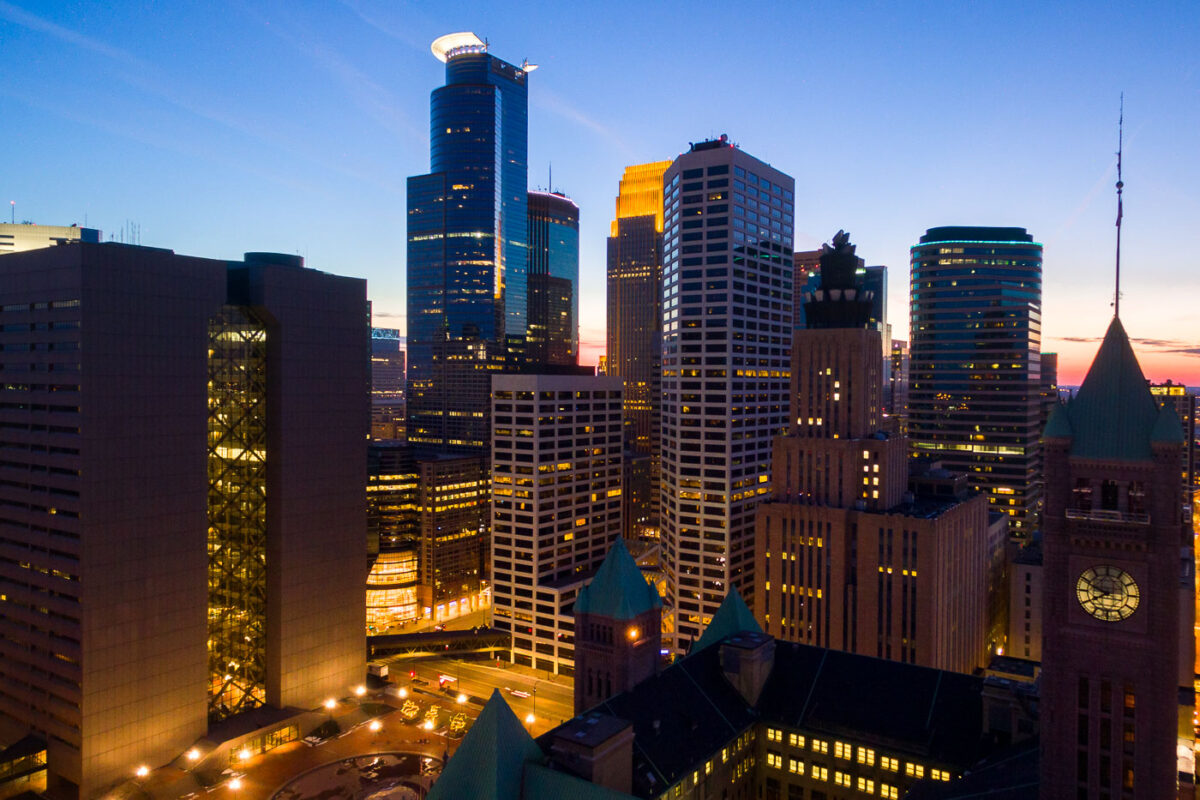
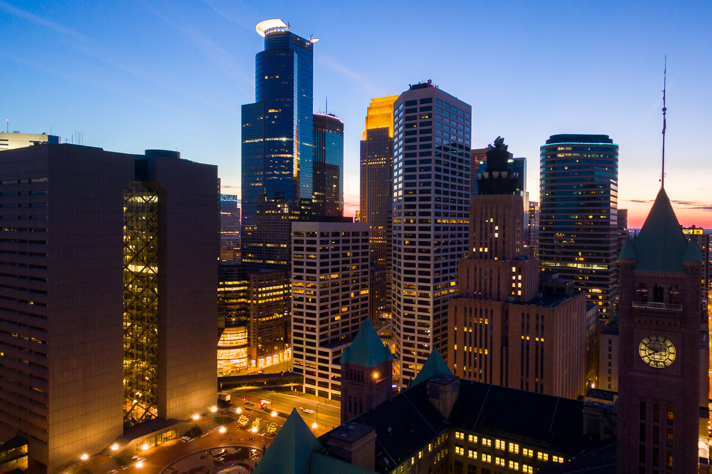
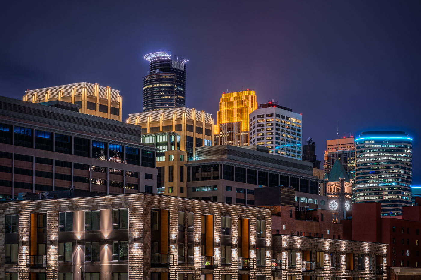
Minneapolis City Hall and downtown skyline at dusk with illuminated office and residential towers.
Minneapolis City Hall is a Romanesque Revival building completed in 1909. Its clock tower stands 345 feet tall and holds one of the world's largest handcarved marble statues, the Father of Waters, in its rotunda.

Minneapolis City Hall’s Clock Tower Beneath the Downtown Skyline
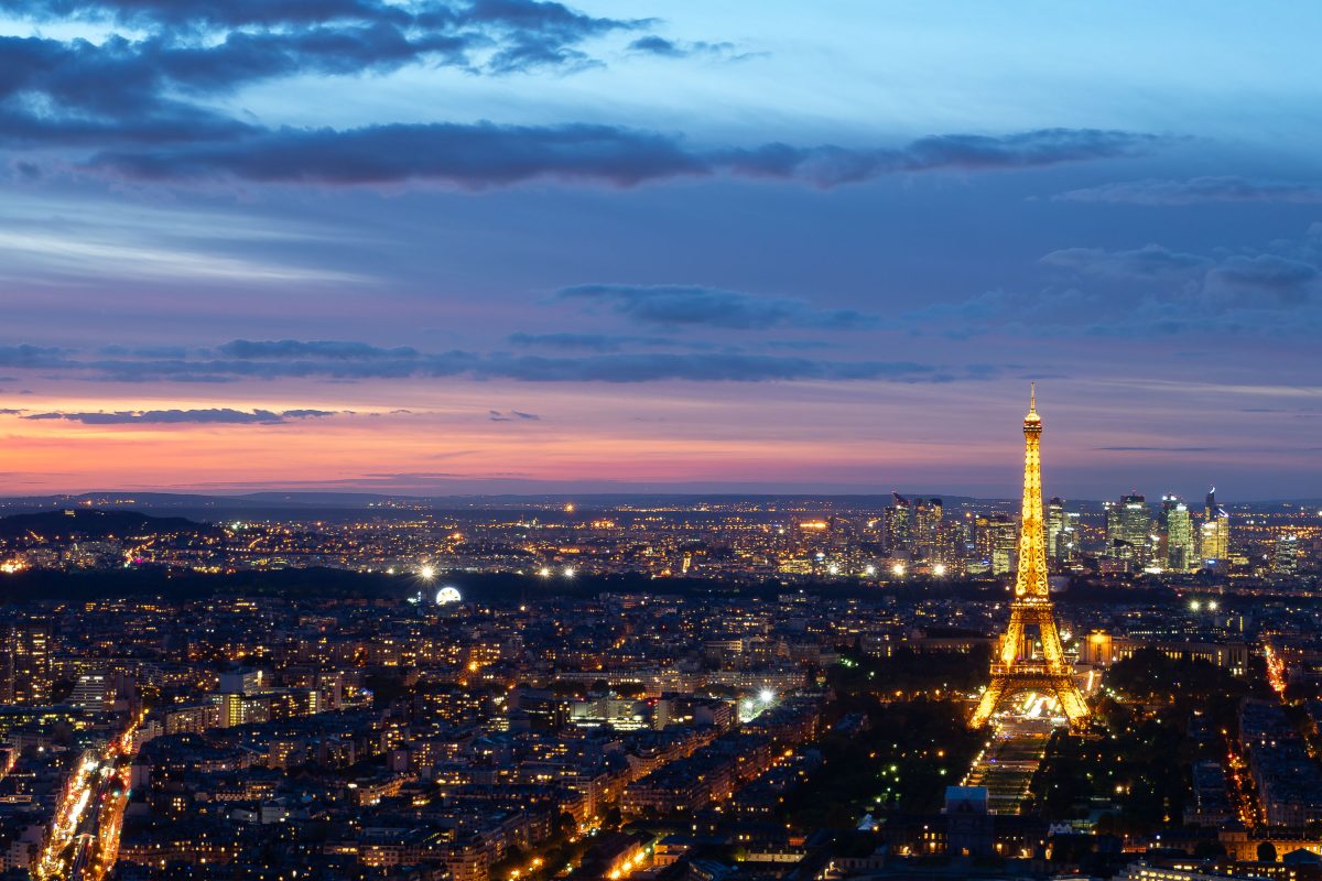
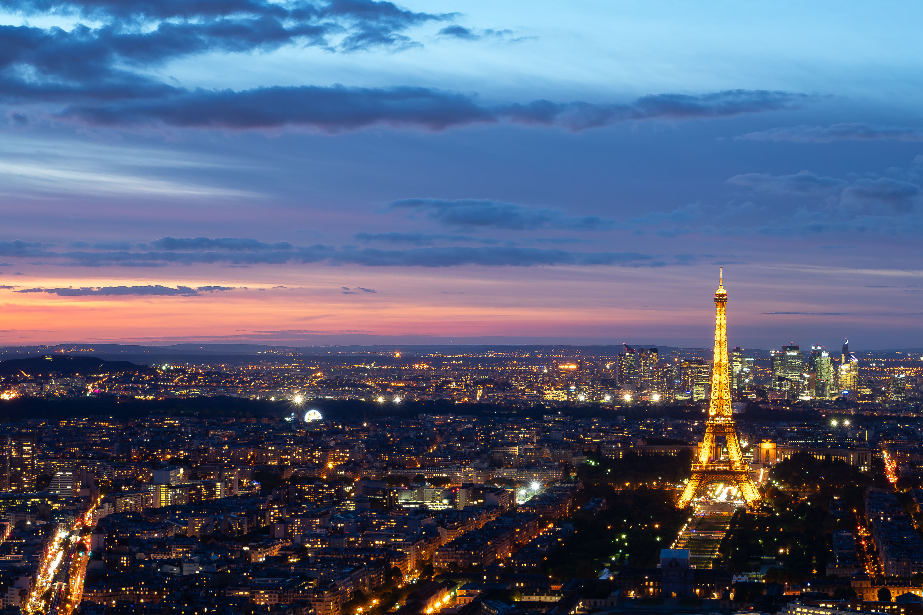
The Eiffel Tower rises above the Paris skyline, viewed from the Montparnasse Tower observation deck at dusk.
The Eiffel Tower stands on the Champ de Mars in the 7th arrondissement of Paris, France. Designed by engineers Maurice Koechlin and Émile Nouguier under Gustave Eiffel's company, it was completed in 1889 as the entrance arch for the World's Fair. The tower rises 330 meters and held the title of tallest man-made structure until the Chrysler Building surpassed it in 1930. It is owned by the City of Paris and operated by the Société d'Exploitation de la Tour Eiffel. The tower draws close to seven million visitors annually, making it one of the most visited paid monuments in the world.

Eiffel Tower from Montparnasse Tower Observation Deck, Paris
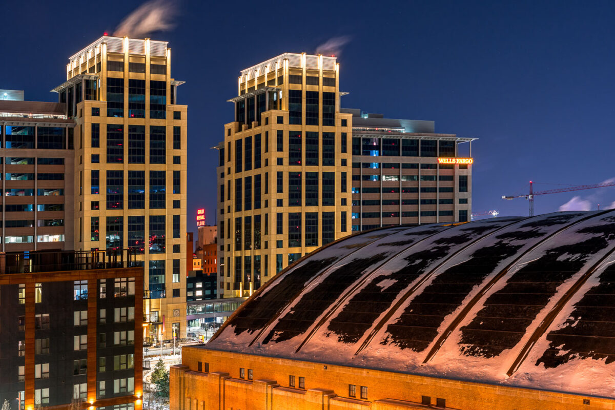
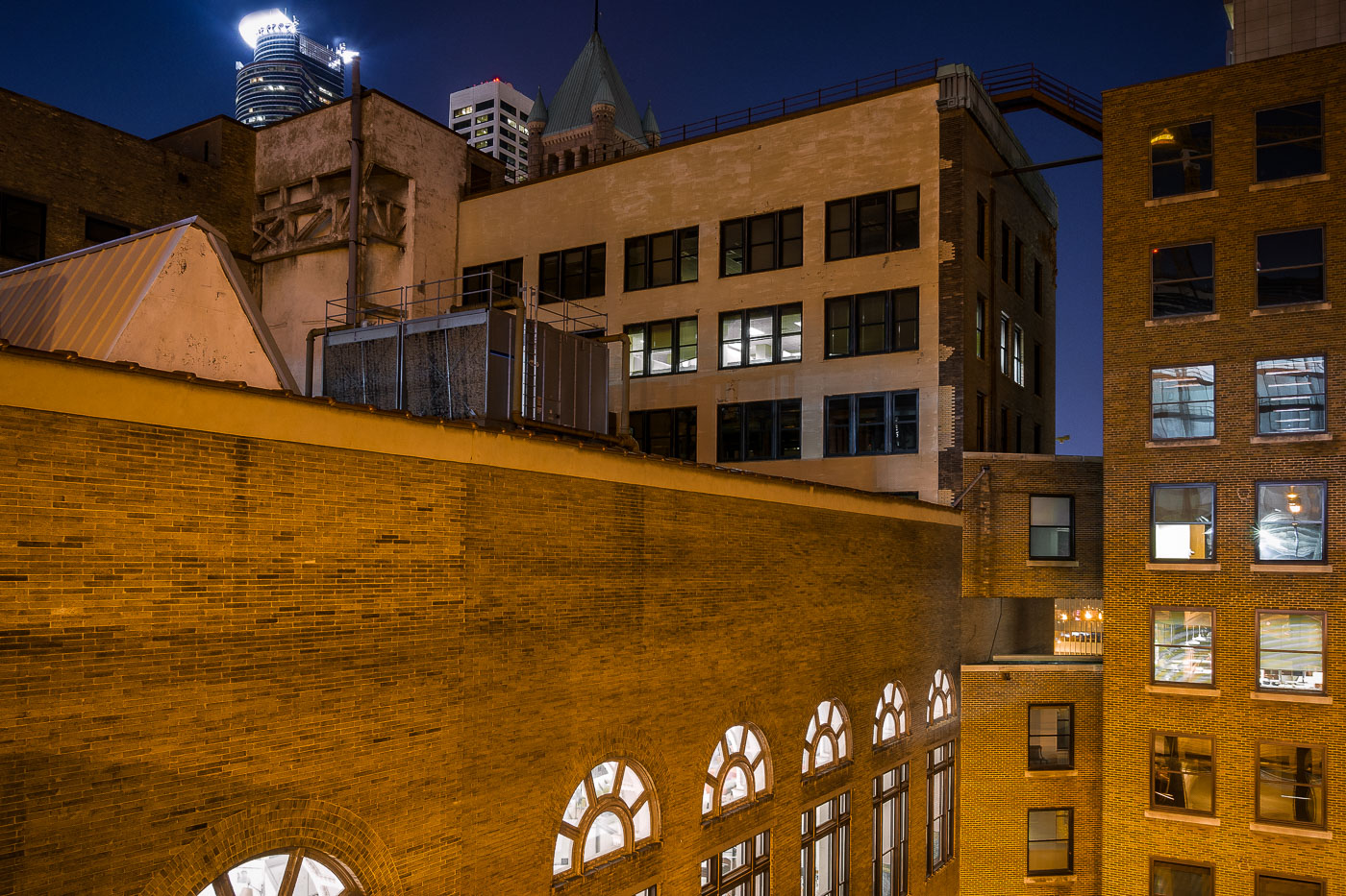
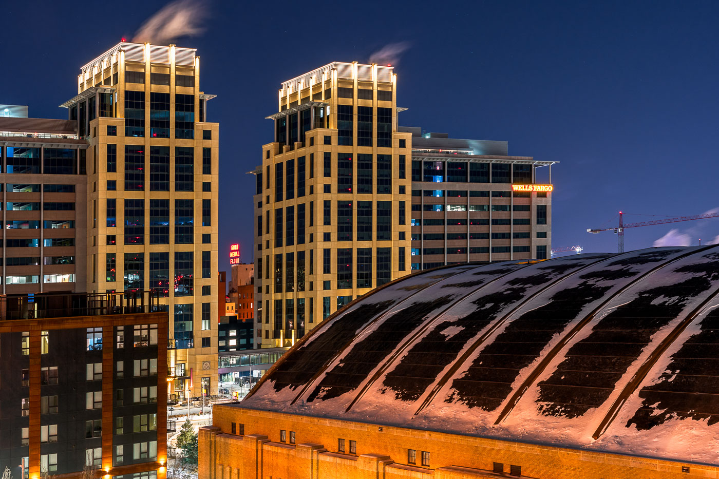
The Armory building and illuminated Wells Fargo office towers stand in downtown Minneapolis at night.
The Armory and the new Wells Fargo Towers in Downtown East, Minneapolis.

Snow-Dusted Armory Roof Beneath the Wells Fargo Towers at Night
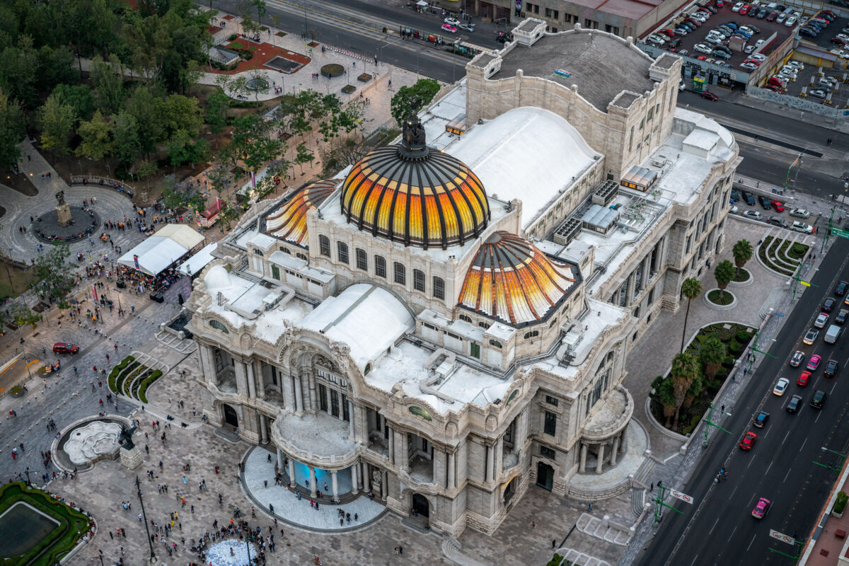
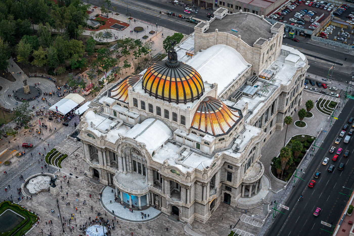
Aerial view of Palacio de Bellas Artes with its distinctive golden domes, surrounded by plazas and adjacent buildings in Mexico City's historic center.
Palacio de Bellas Artes in Mexico City is a major performing arts venue and museum on the edge of Alameda Central. Construction began in 1908 and the building opened in 1934, combining Art Nouveau and Art Deco design. It houses murals by major Mexican artists and is one of the city’s best-known cultural landmarks.

Aerial View of Palacio de Bellas Artes’ Domes
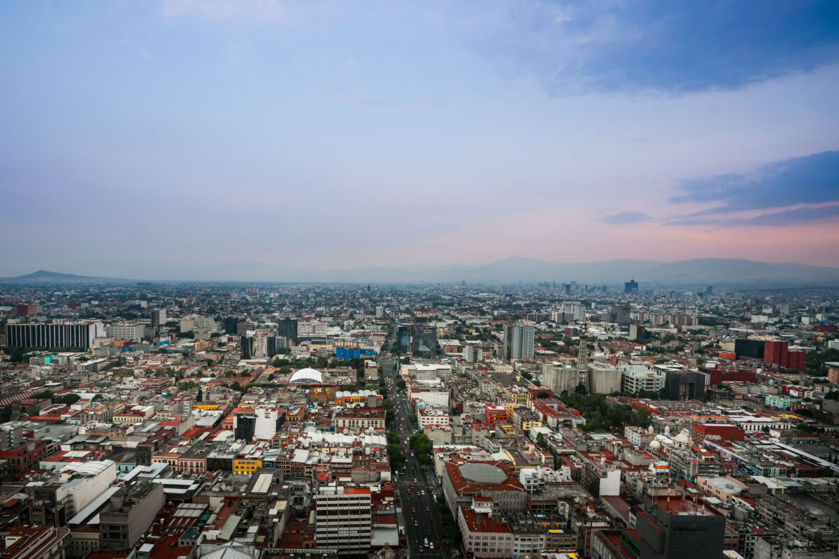
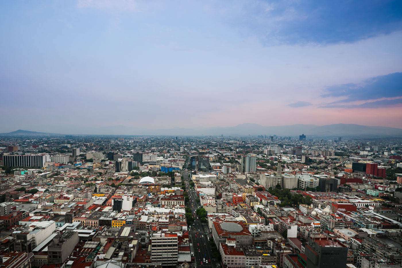
Mexico City's Centro Histórico and surrounding neighborhoods extend across the Valley of Mexico, viewed from Torre Latinoamericana.
Mexico City’s Centro Histórico and surrounding districts extend across the Valley of Mexico, viewed from the Torre Latinoamericana. Eje Central runs through the middle of the city, and the white dome of Arena Coliseo is visible near the center-left. The distant ridgelines frame the capital’s dense central grid and modern commercial areas.

Eje Central and Arena Coliseo at Dusk, Mexico City
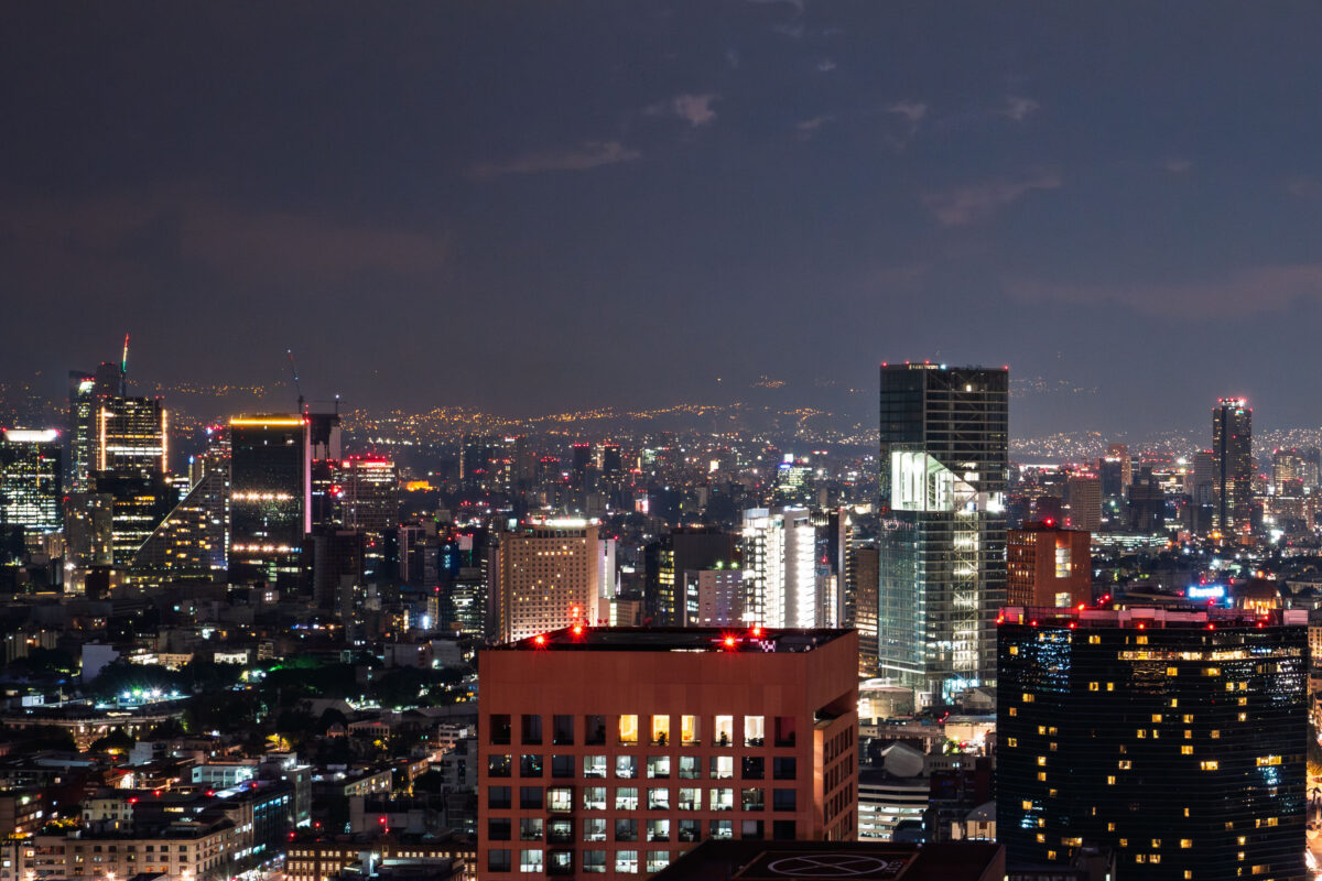
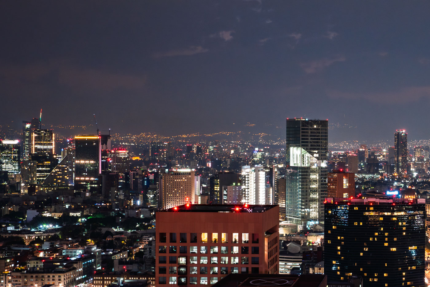
Mexico City skyline at night showing illuminated high-rise buildings and downtown towers with mountains visible in the distant background.
Mexico City skyline at night. The city is the capital of Mexico and one of the largest metropolitan areas in the Americas. Its central business districts contain many of the country’s tallest office and residential towers.

Mexico City’s Illuminated Towers After Dark
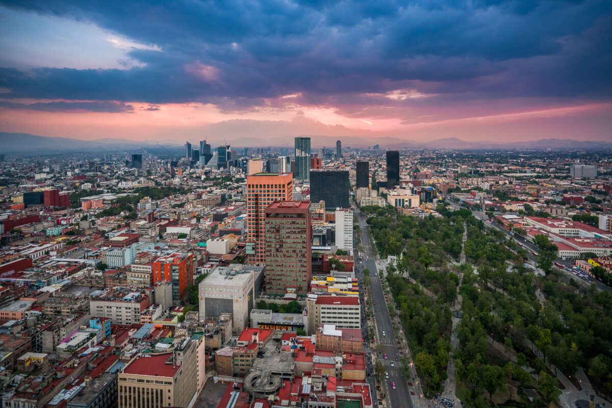
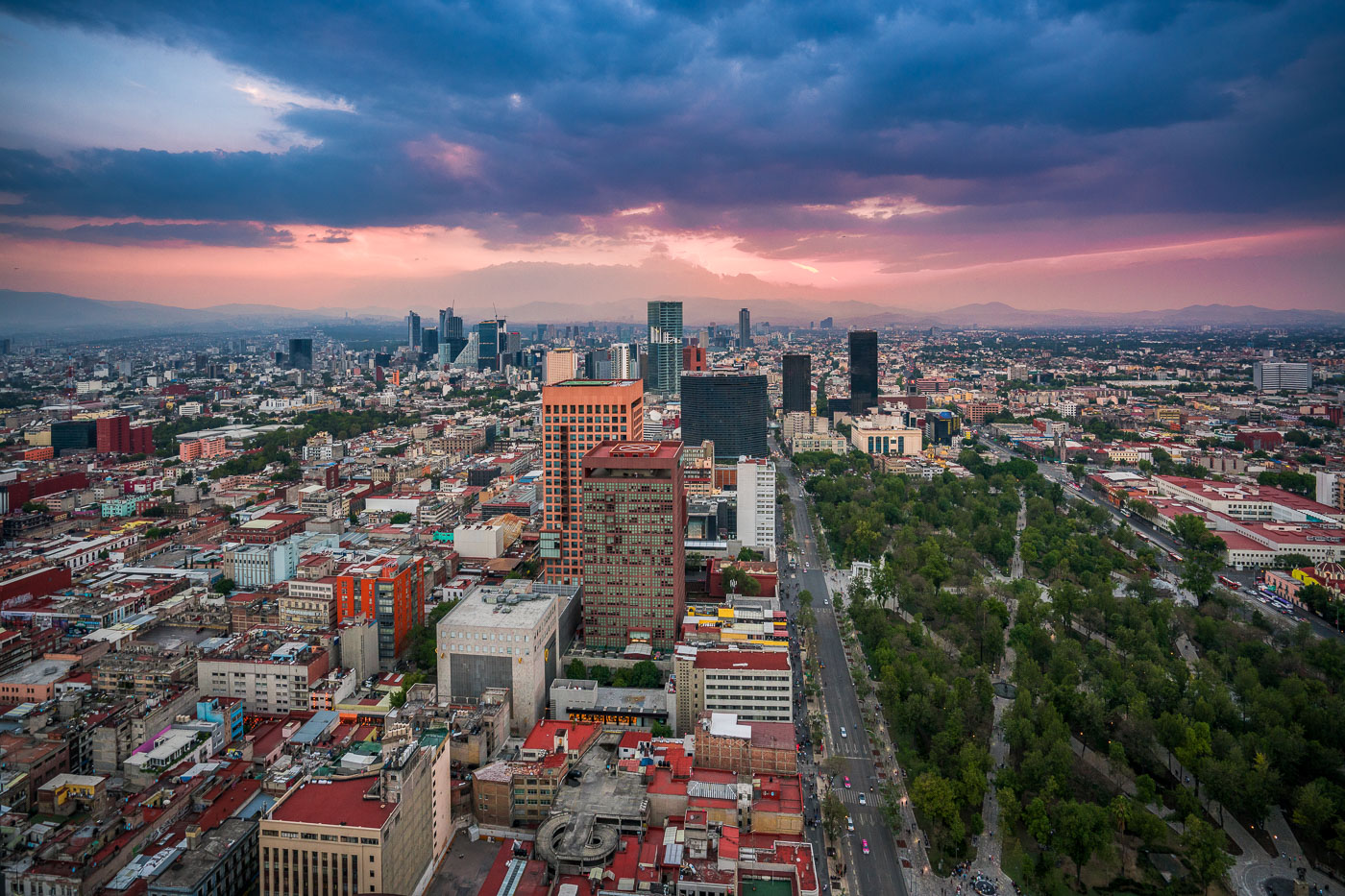
Mexico City skyline at dusk showing Paseo de la Reforma avenue, downtown towers, and Alameda Central park with mountains beyond.
Paseo de la Reforma in Mexico City runs north from the historic center toward the city’s modern business districts. The broad avenue is one of the capital’s main arteries and passes landmarks such as the Alameda Central and the Torre Latinoamericana area. Here it appears at dusk beside the tree-lined expanse of Alameda Central and surrounding high-rise development.

Aerial View of Paseo de la Reforma Toward the Alameda Central at Dusk
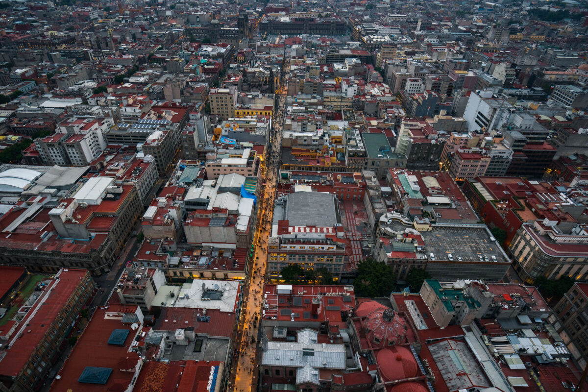
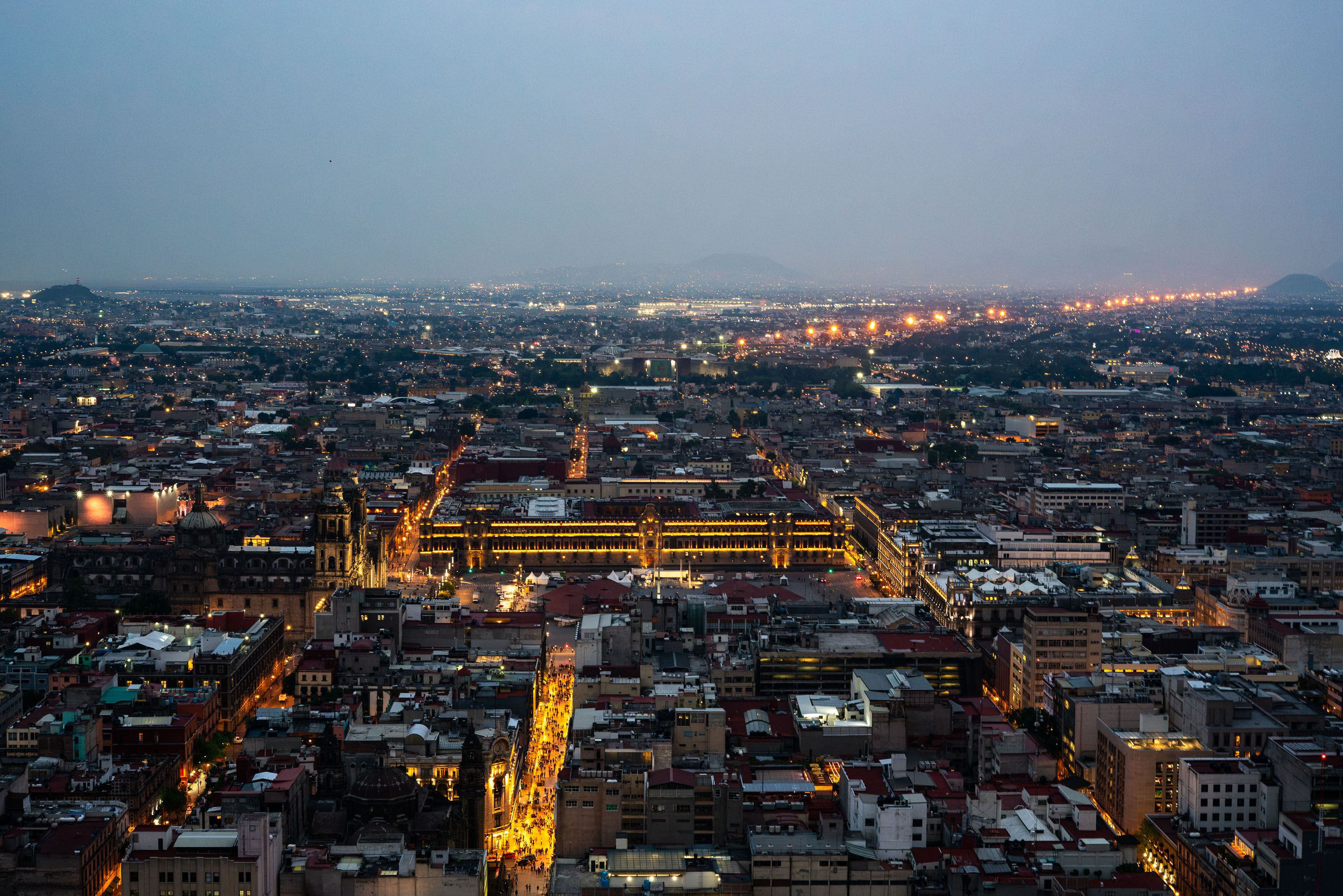
Aerial view of Calle Francisco I.
Calle Francisco I. Madero is a pedestrian street in Mexico City’s Centro Histórico, linking the Zócalo area with the Torre Latinoamericana. Pedestrianized in 2010, it runs through a dense corridor of historic buildings and commercial activity in the city center.

Aerial View of Calle Francisco I. Madero, Centro Histórico
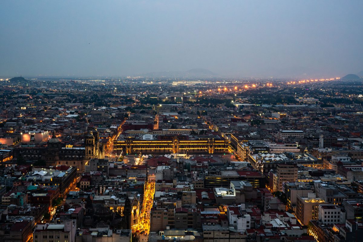
The Zócalo and National Palace with illuminated golden domes sit at the center of Mexico City's historic downtown at twilight.
The Zócalo, officially Plaza de la Constitución, sits at the center of this view, framed by the National Palace to the east and the Metropolitan Cathedral to the north. Built over the ruins of Tenochtitlan's sacred precinct, the square covers roughly 46,800 square meters, making it one of the largest public plazas in the world. Mexico City's historic center, a UNESCO World Heritage Site since 1987, radiates outward from this point in a grid laid out by Spanish colonizers in the 16th century. The metropolitan area beyond holds more than 21 million people, one of the largest urban populations on the planet.

Zócalo Illuminated at Dusk Over Mexico City’s Skyline
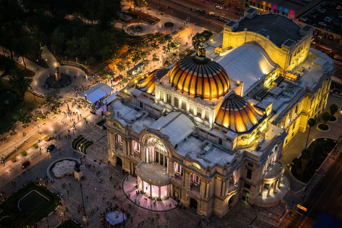
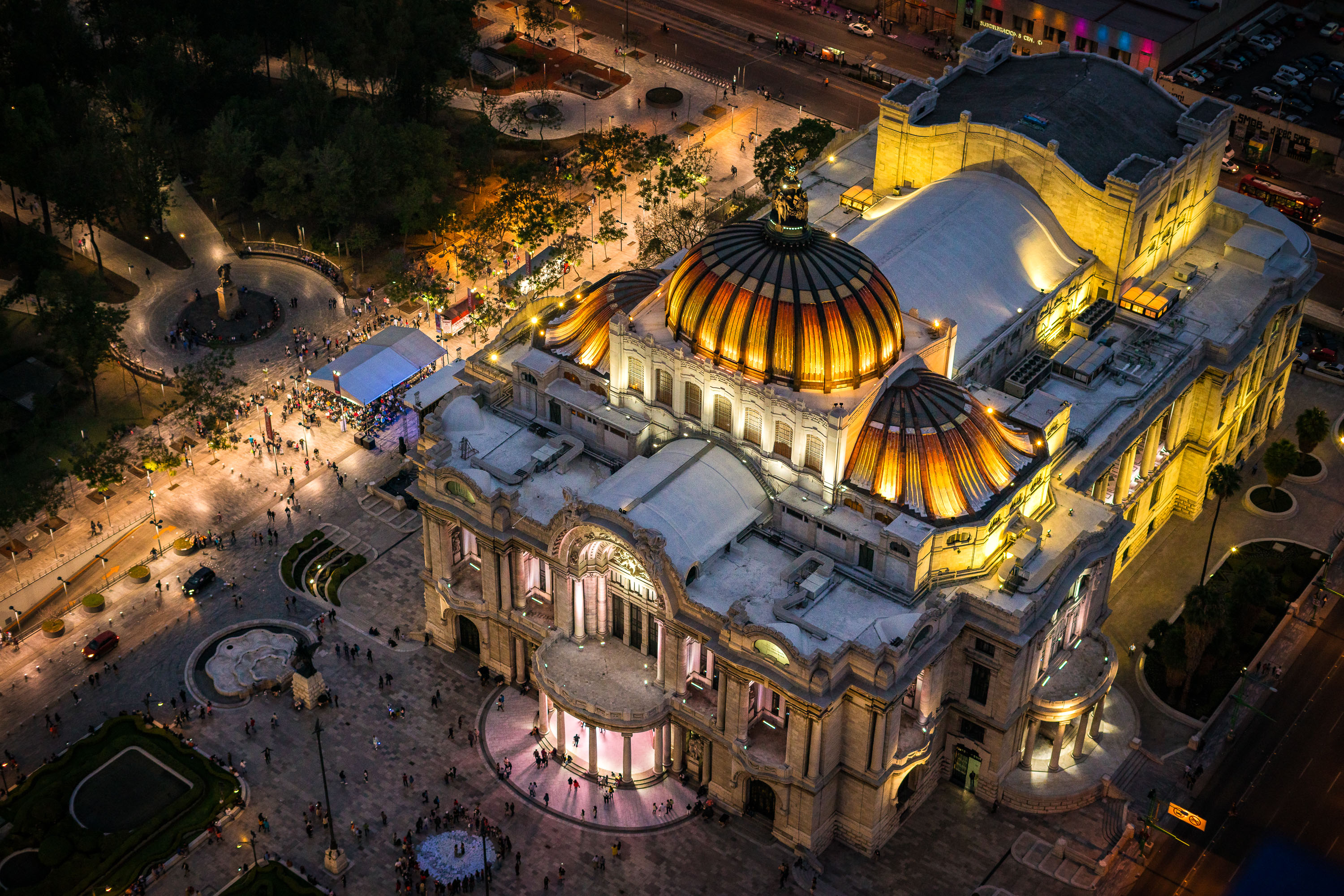
Palacio de Bellas Artes illuminated at night with its golden domes and neoclassical facade overlooking the Alameda Central plaza in Mexico City.
Palacio de Bellas Artes sits at the western edge of the Alameda Central in downtown Mexico City. Construction began in 1904 under architect Adamo Boari, whose Art Nouveau design used a marble exterior that proved too heavy for the site's soft soil; work stalled for years before Federico Mariscal completed the project in 1934 with an Art Deco interior. The building houses murals by Diego Rivera, David Alfaro Siqueiros, and Rufino Tamayo, along with a Tiffany glass curtain depicting the Valley of Mexico that serves as the stage backdrop for the National Auditorium. It remains home to the Palacio de Bellas Artes Museum and the National Institute of Fine Arts, hosting opera, theater, and the Ballet Folklórico de México.

Aerial View of Bellas Artes Illuminated Beside Alameda Central
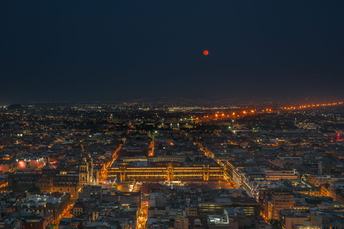
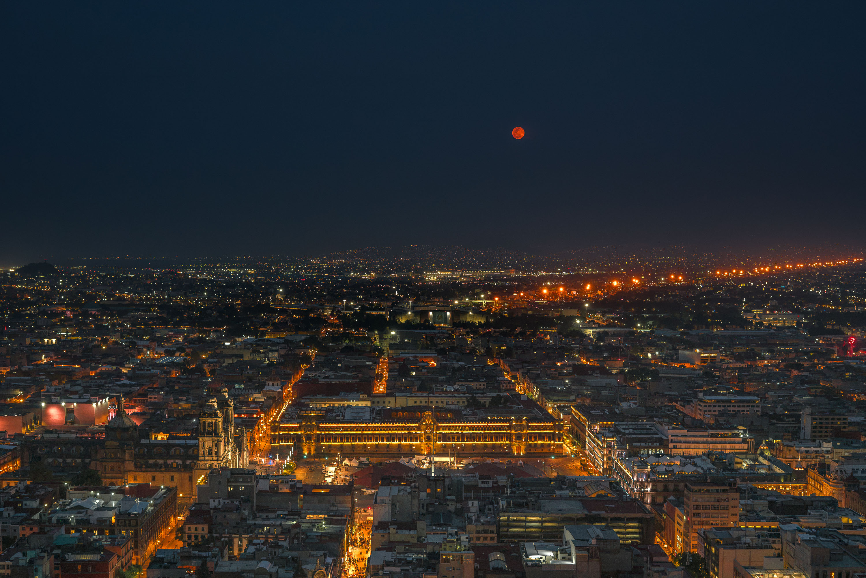
A red full moon rises above the illuminated Zócalo in Mexico City at night, with the National Palace and surrounding cityscape visible below.
The Zócalo — officially Plaza de la Constitución — has anchored Mexico City since the 16th century, built over the ceremonial center of the Aztec capital Tenochtitlan. At roughly 46,800 square meters, it ranks among the largest public squares on Earth. The National Palace, seat of the federal executive, runs along its eastern side, while the Metropolitan Cathedral, begun in 1573, faces it from the north. The square remains the site of presidential inaugurations, military parades, and national holidays including Independence Day and Día de los Muertos gatherings.

Blood Moon Over the National Palace, Mexico City
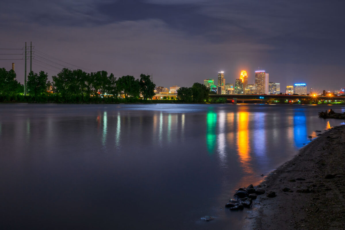
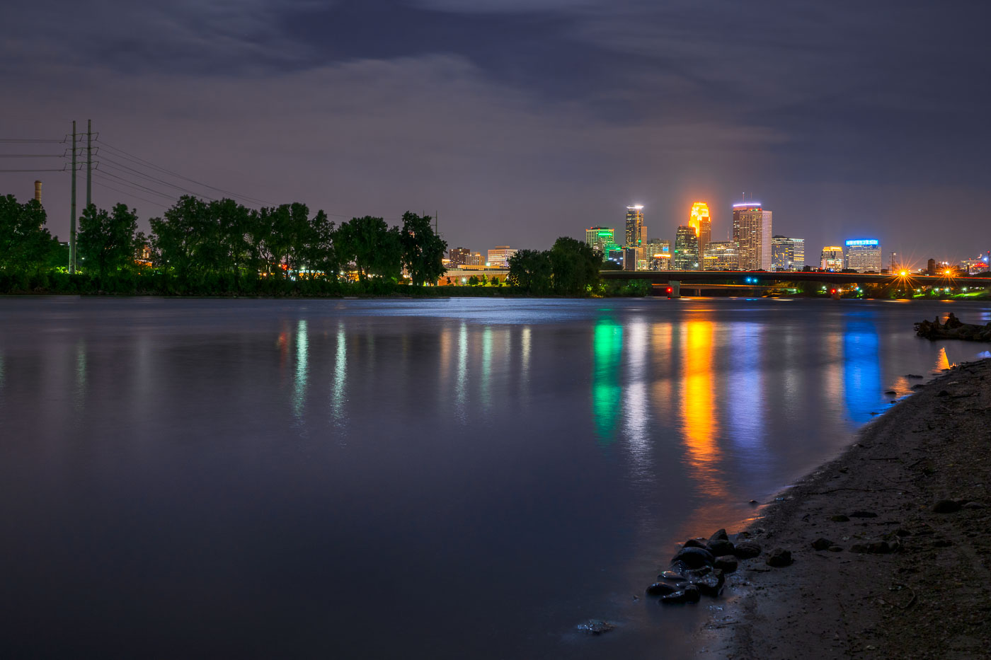
Minneapolis downtown skyline illuminated at night, viewed across the Mississippi River at dusk.
The Mississippi River flows past downtown Minneapolis on its way from Lake Itasca to the Gulf of Mexico, a course of about 2,340 miles.

Downtown Minneapolis Skyline Across the Mississippi River at Night
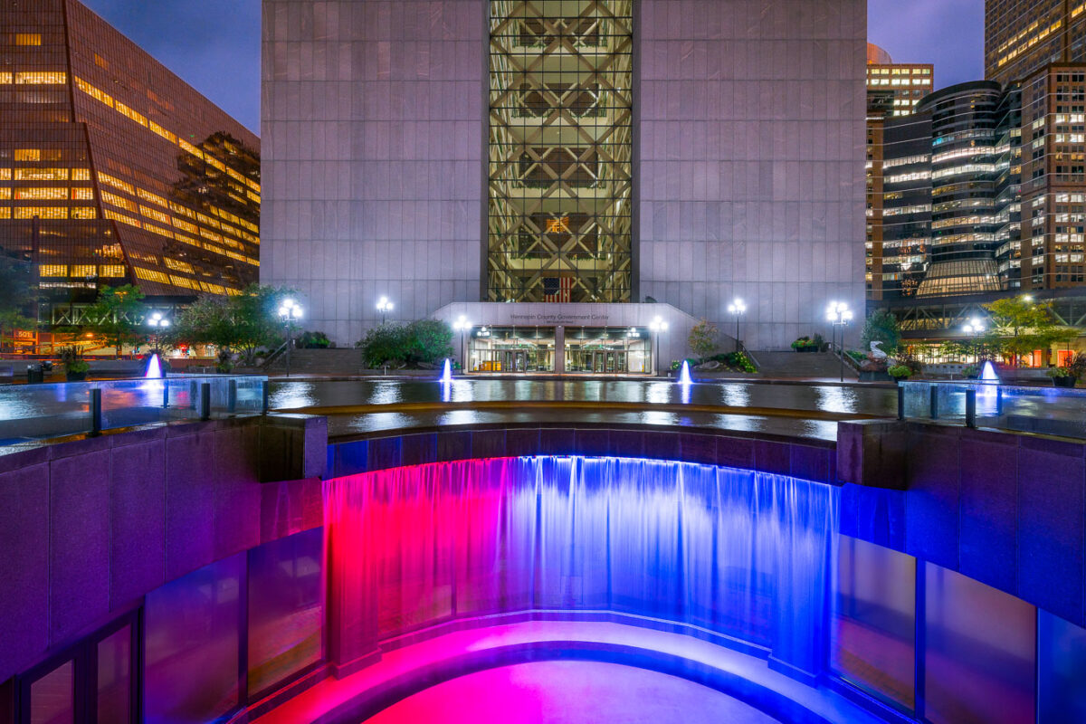
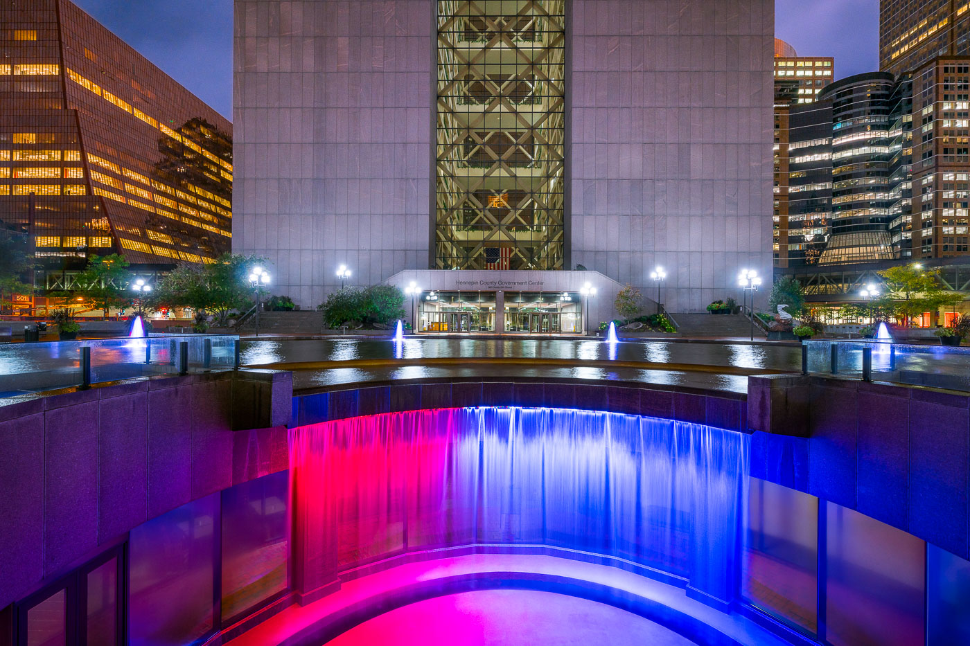
Colorful waterfall outside Hennepin County GC
Hennepin County Government Center, construction was completed in 1977. While often looked at as a single building, it’s actually 2 different towers with glass in between them. When viewed from the northeast or southeast(such as this photo), the building gives the appearance of the letter H for Hennepin. The towers are accessible from each other via catwalks on each floor. Glass walls were added after multiple suicides.

Hennepin County Government Center, Minneapolis MN
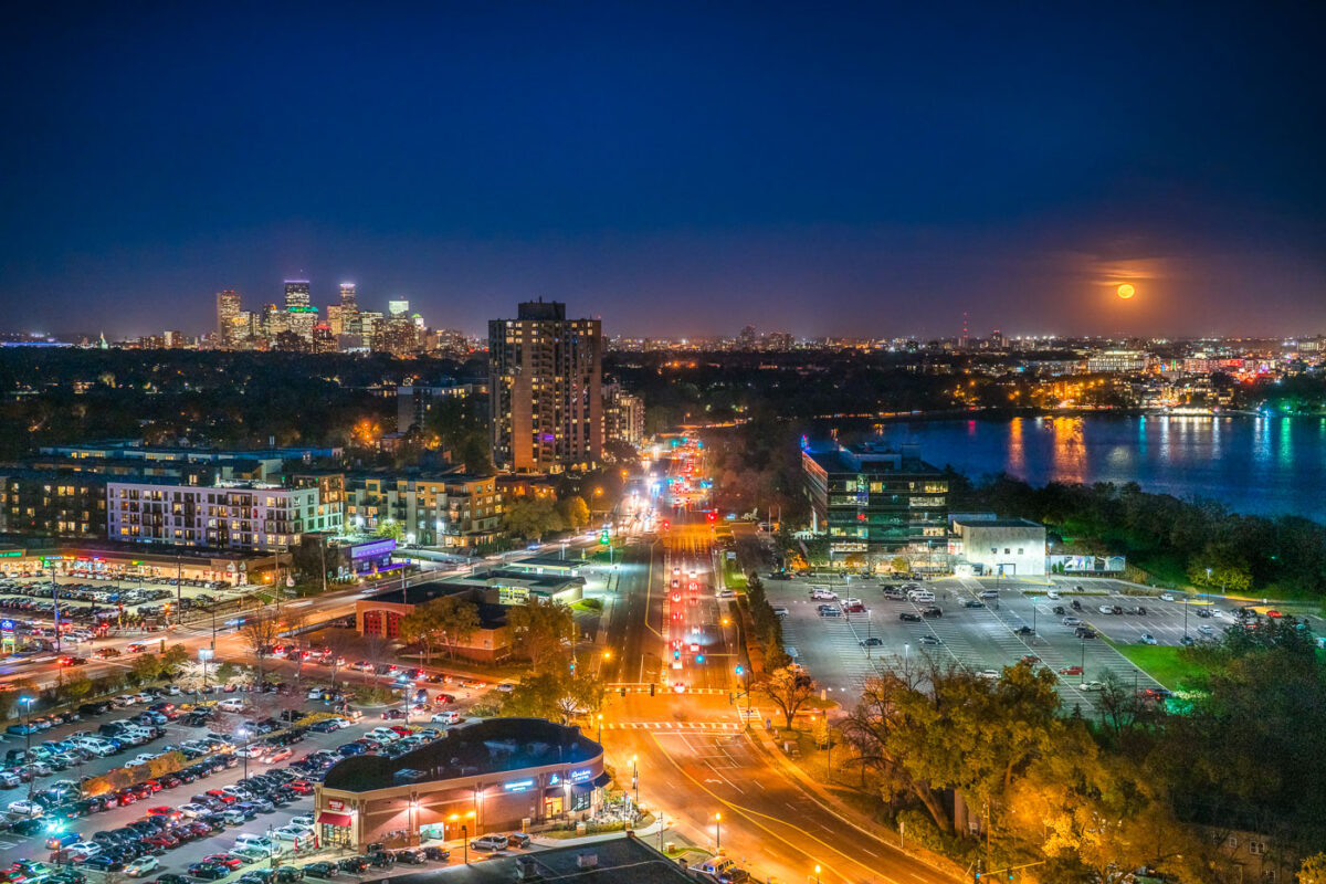
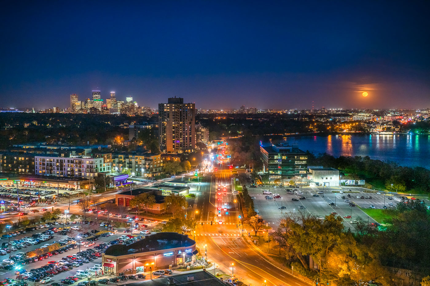
Minneapolis skyline and Bde Maka Ska under a full moon, viewed from the West Calhoun neighborhood.
The Minneapolis skyline is visible in the distance as a full moon rises over Bde Maka Ska. Bde Maka Ska the largest lake in Minneapolis and is part of the Chain of Lakes.

Minneapolis skyline and Bde Maka Ska under full moon
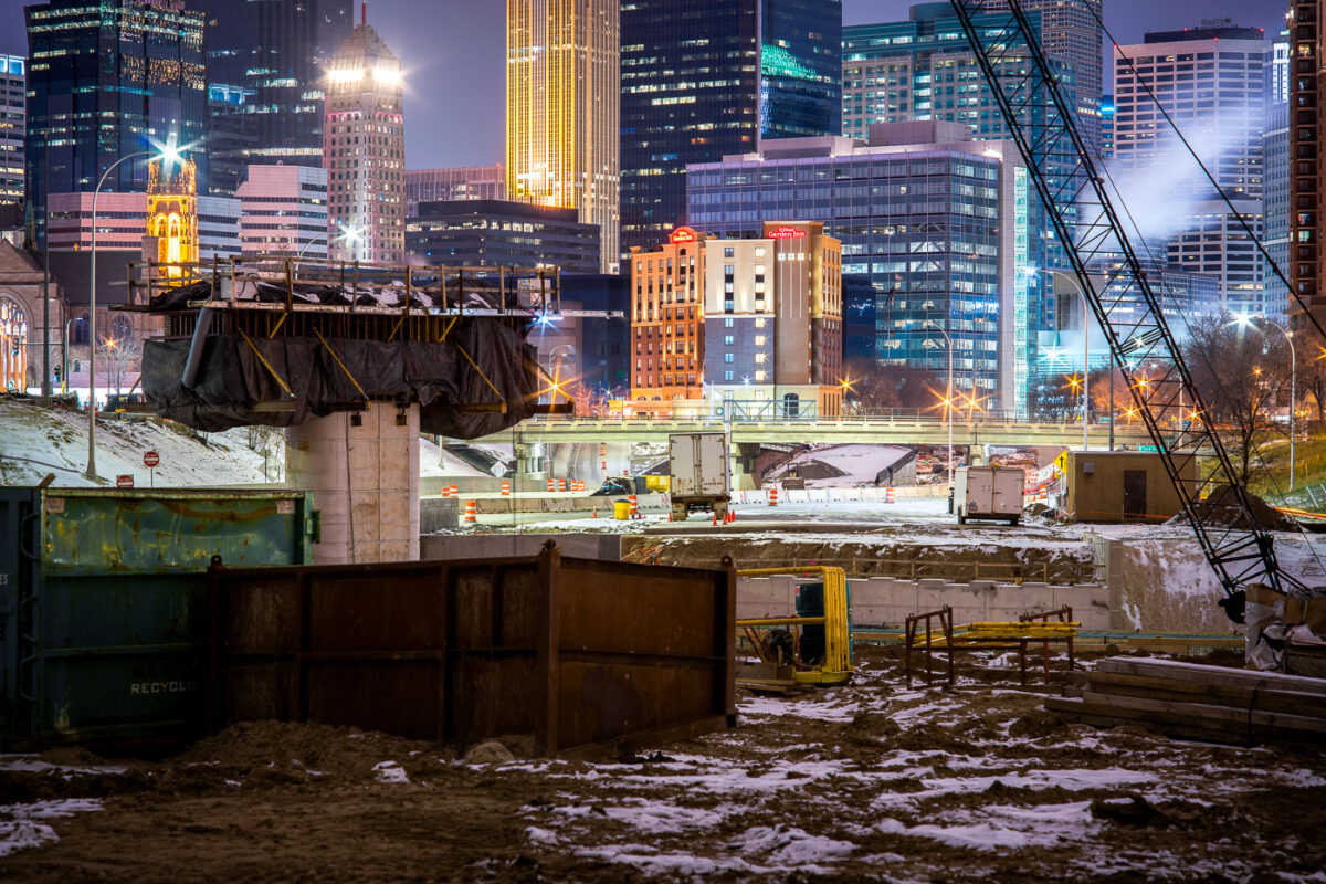
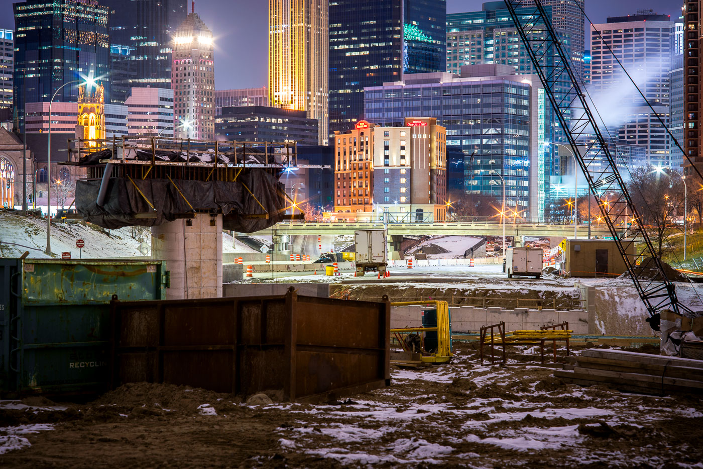
I-35W highway construction site in downtown Minneapolis with illuminated office towers and buildings visible beyond the freeway trench.
I-35W construction in downtown Minneapolis continues in the freeway trench south of the central business district.

Night Construction Along I-35W Beneath the Minneapolis Skyline
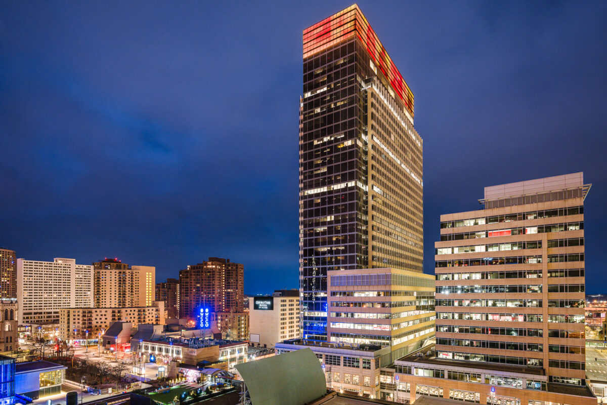
Target Corporation headquarters tower in downtown Minneapolis, Minnesota.
Target Corporation headquarters in downtown Minneapolis, Minnesota. The tower is part of Target Center’s corporate campus and the company’s main office complex in the city.

Target Headquarters Tower, Minneapolis
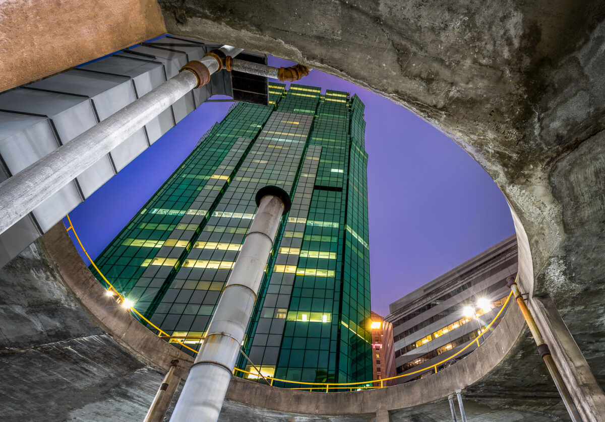
AT&T Tower in downtown Minneapolis rises above a parking ramp.
AT&T Tower, Minneapolis, rises above a downtown parking ramp. The building is a prominent office tower in the city’s central business district.

AT&T Tower, Minneapolis

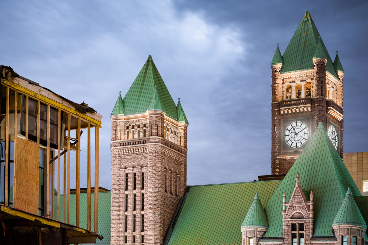
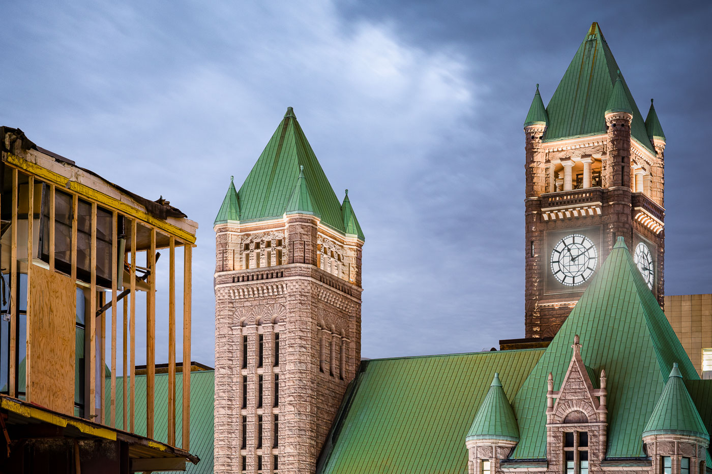
Minneapolis City Hall's Romanesque Revival towers with green copper roofs and large clock faces stand beside construction scaffolding.
Minneapolis City Hall, at 350 South Fifth Street, was built between 1888 and 1906 to a design by architects Franklin B. Long and Frederick Kees in the Romanesque Revival style. Its tower rises 345 feet and carries four clock faces, each about 24 feet in diameter, driven by a weight-powered mechanism installed when the building opened. The clock has long been cited as one of the largest four-faced, chiming clocks in the country. The building is listed on the National Register of Historic Places and still houses Minneapolis municipal offices along with Hennepin County government functions.

Minneapolis City Hall Towers Beside a Construction Site at Dusk
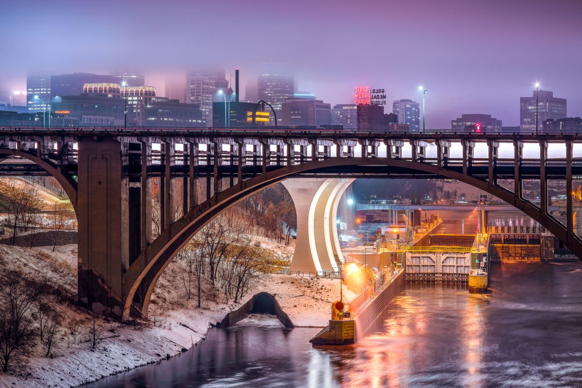
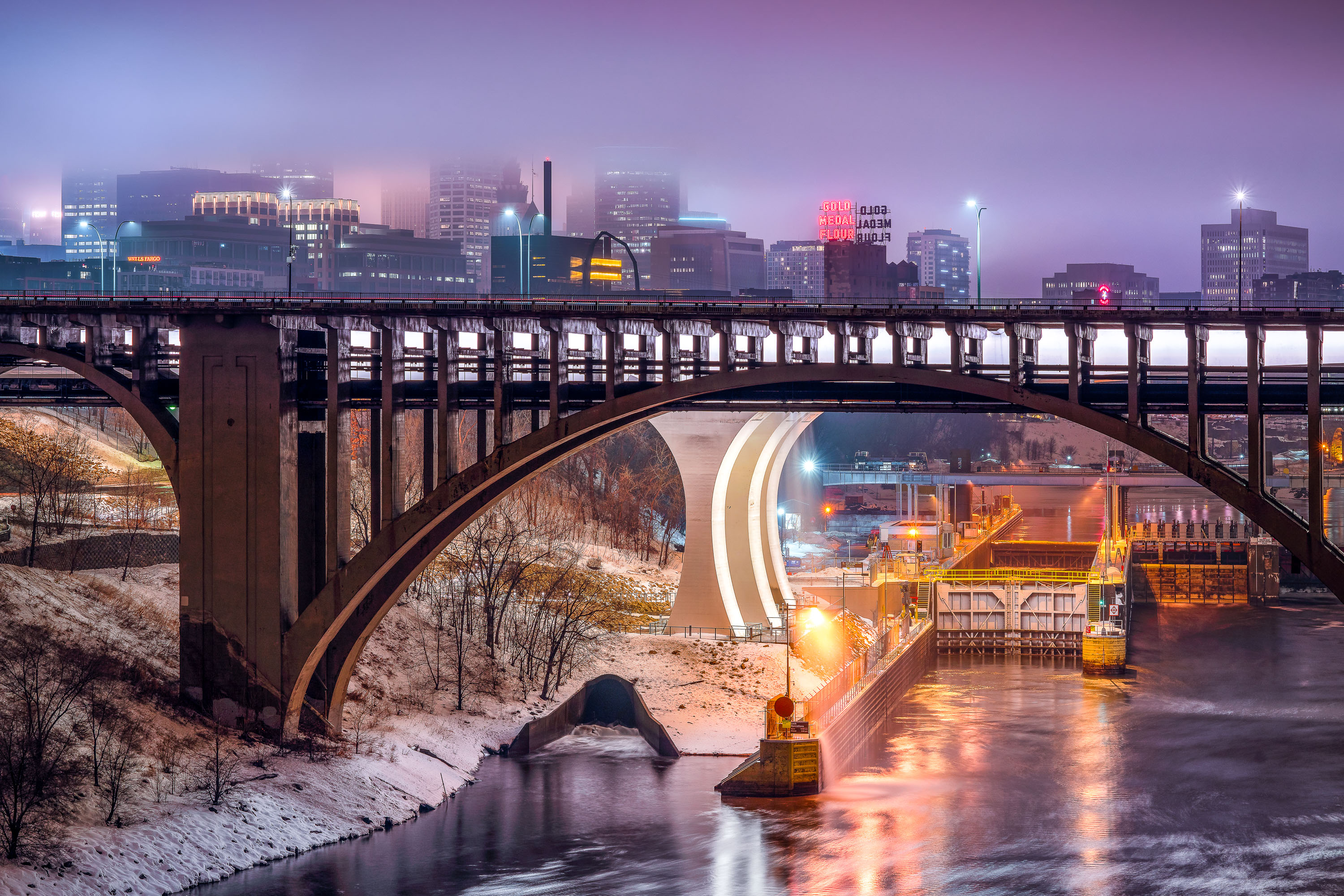
Third Avenue Bridge crosses the Mississippi River with the Gold Medal Flour sign and downtown Minneapolis skyline illuminated at dusk.
The Third Avenue Bridge crosses the Mississippi River just downstream from Saint Anthony Falls, linking downtown Minneapolis to the university area to the east. Completed in 1918, it's a concrete arch span designed by engineer Kristoffer Olsen Oustad with a slight curve to fit the site's geology. Below it, the Lower St. Anthony Falls Lock and Dam helps vessels pass the falls, while the Gold Medal Flour sign, raised above the old Washburn-Crosby mill site in 1908, still marks the skyline behind it.

Foggy Dusk at Third Avenue Bridge and St. Anthony Falls
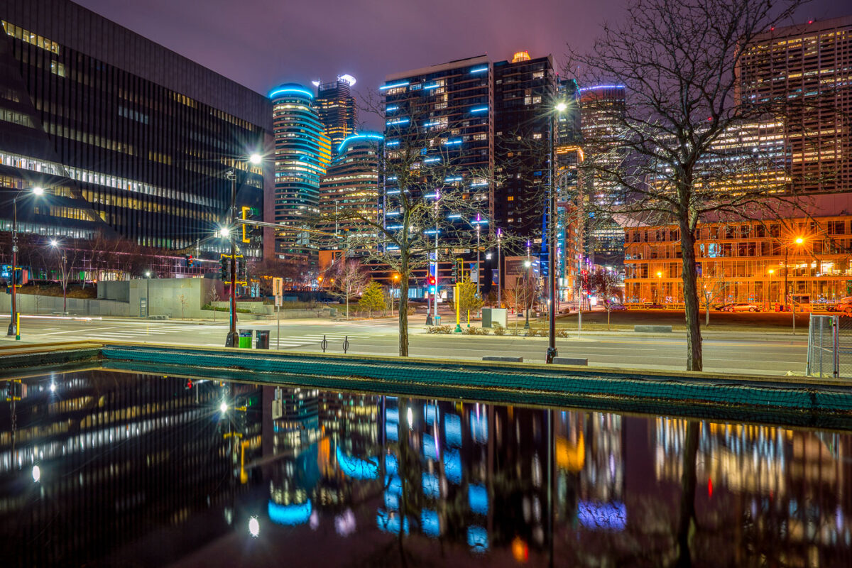
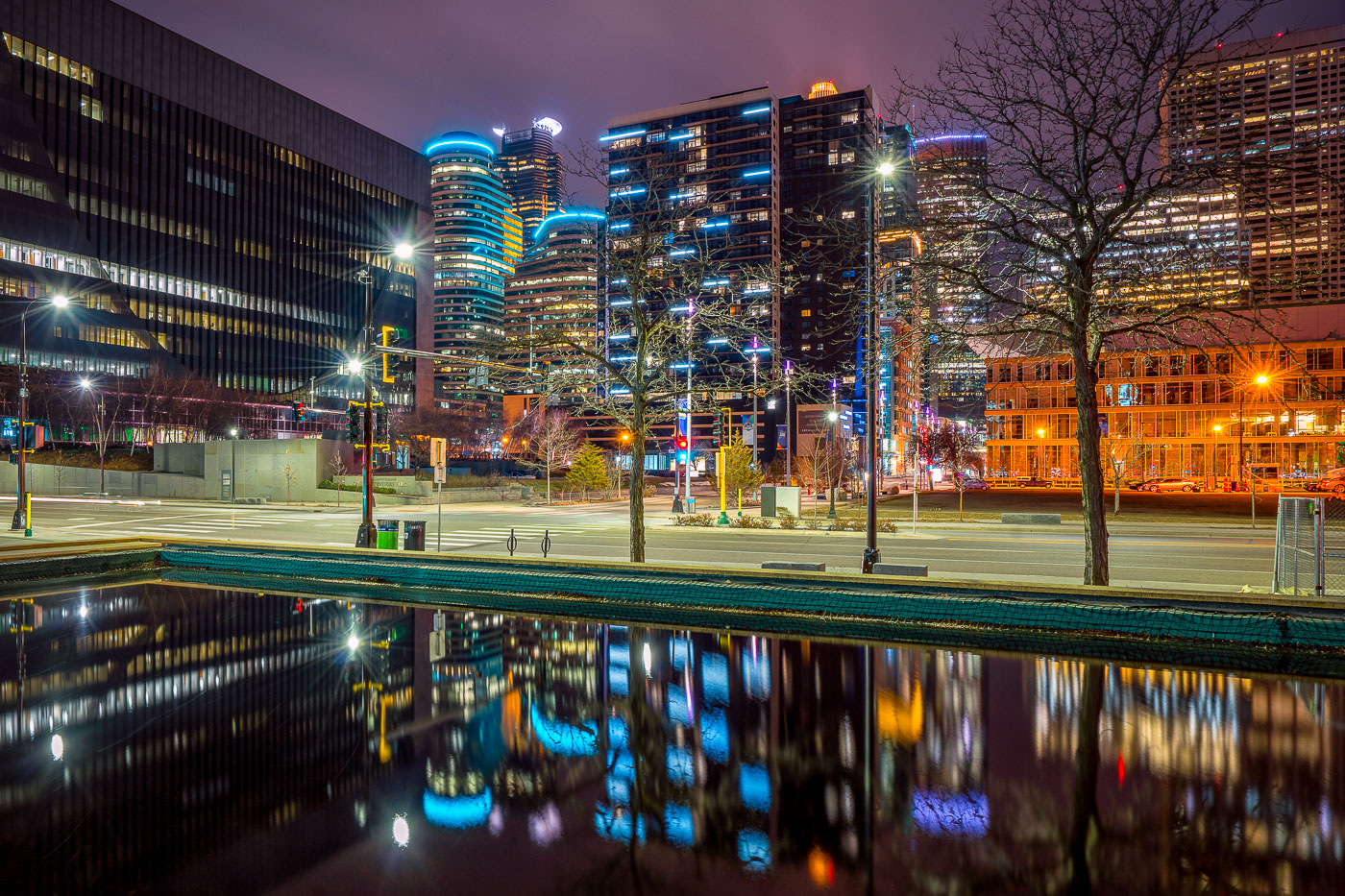
Illuminated downtown Minneapolis office and residential towers rise above a still water feature near Nicollet Mall at night.
Downtown Minneapolis's towers rise near Nicollet Mall, including Capella Tower and the Fifth Street Towers, among office buildings and residential high-rises built up in the 2000s and 2010s.

Minneapolis Skyline Reflected in a Water Feature Near Nicollet Mall
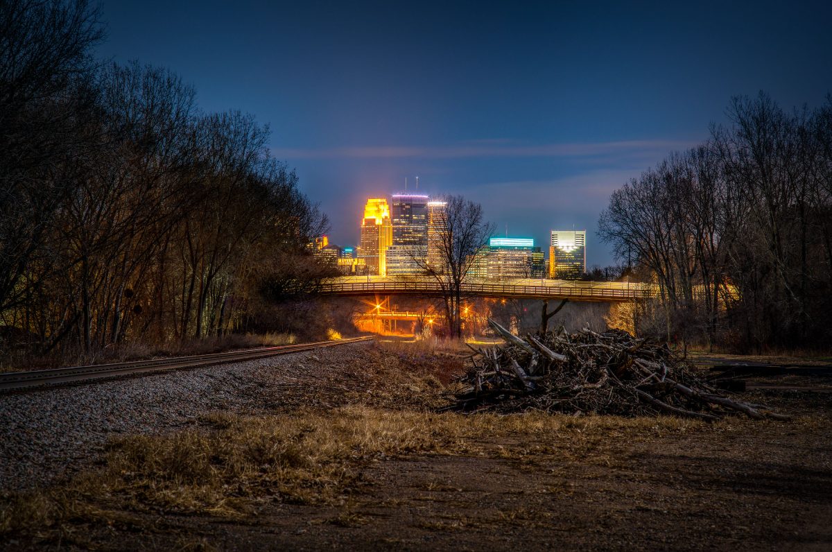
North Cedar Lake Trail, St. Louis Park, MN.
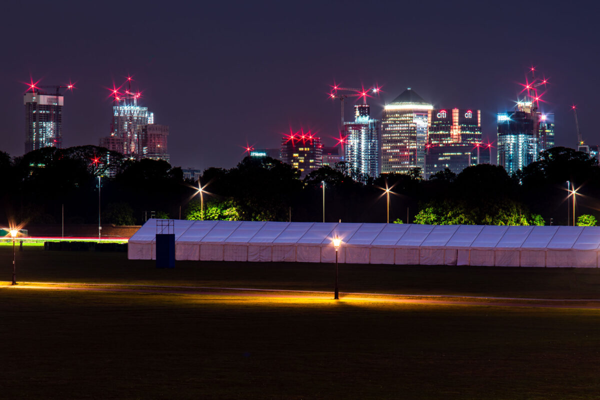
North Cedar Lake trail in St. Louis Park, Minnesota

North Cedar Lake Trail, St. Louis Park, MN.

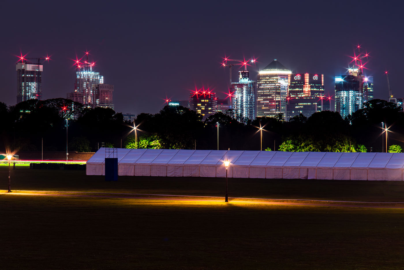
Canary Wharf rises beyond Greenwich Park, with a temporary event tent in the foreground.
Canary Wharf rises beyond Greenwich Park in southeast London, with One Canada Square and neighboring office towers visible above the treeline. A temporary event tent occupies the foreground parkland, with red aircraft warning lights and construction cranes marking the docklands skyline.

Canary Wharf from Greenwich Park, London
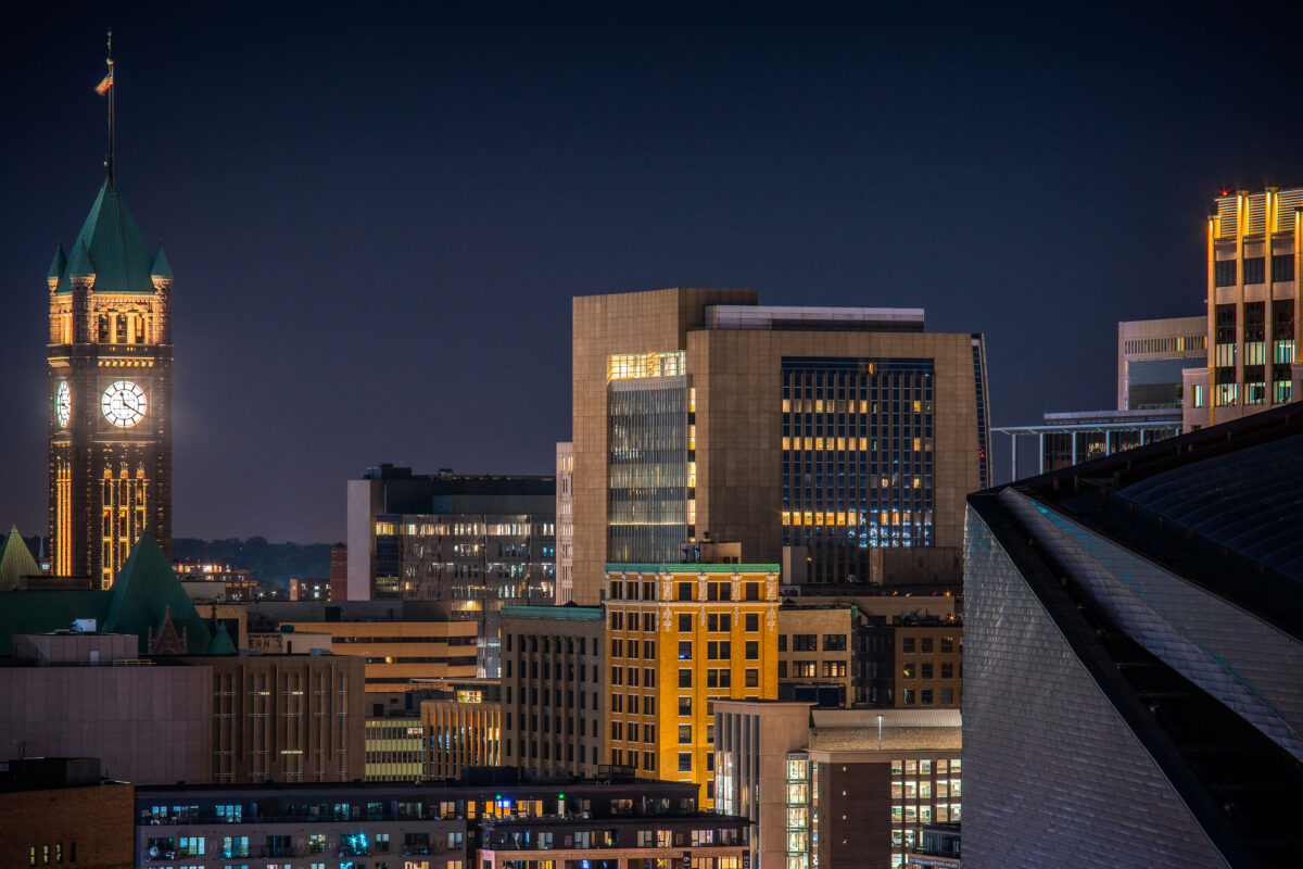
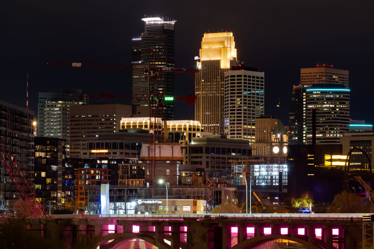
Minneapolis City Hall's illuminated clock tower and green copper roof rise above the downtown skyline at night.
Minneapolis City Hall’s clock tower rises above downtown Minneapolis at night. The historic building was completed in 1909.

Downtown Minneapolis Skyline with City Hall’s Clock Tower
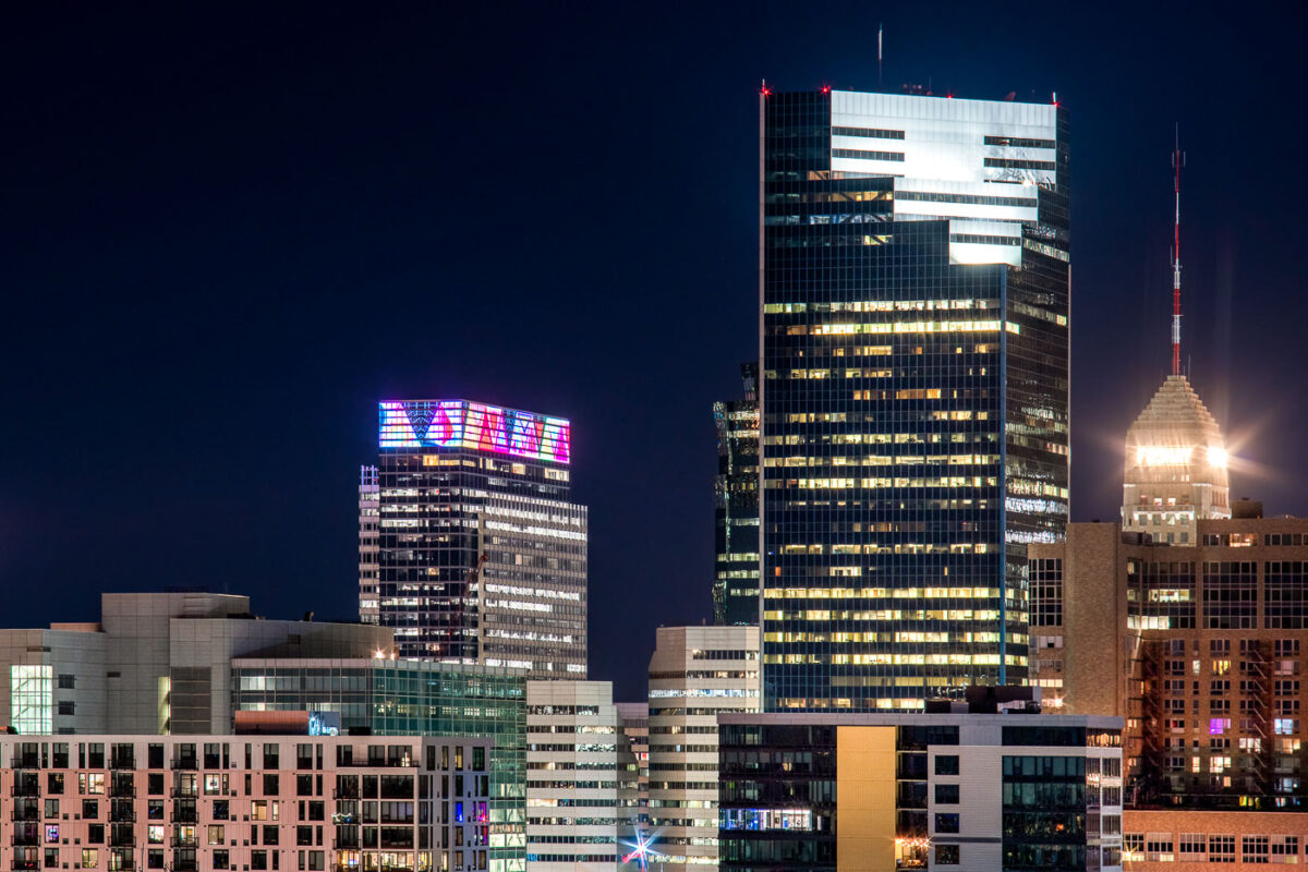
Downtown Minneapolis skyline at night with Target Plaza South, Campbell Mithun Tower, and Foshay Tower.
Downtown Minneapolis skyline at night includes Target Plaza South, the Campbell Mithun Tower, and the Foshay Tower. Target Plaza South houses Target’s corporate headquarters, while the Foshay Tower is a 1929 Art Deco skyscraper that was once the city’s tallest building. The Campbell Mithun Tower stands nearby in the city’s central business district.

Minneapolis Skyline: Target HQ, Campbell Mithun Tower, Foshay Tower
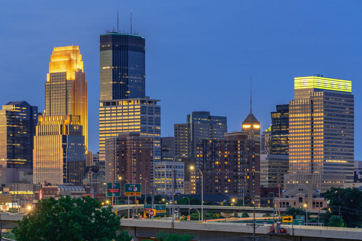
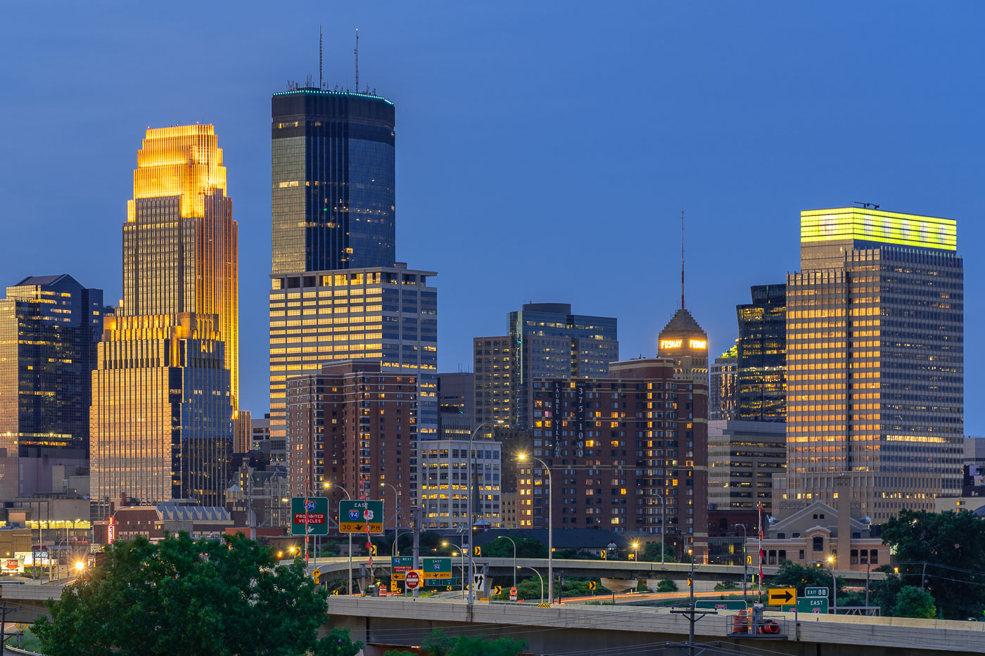
Downtown Minneapolis skyline at dusk with the IDS Center and Foshay Tower illuminated above Interstate 94.
The IDS Center and Foshay Tower stand above Interstate 94 in downtown Minneapolis. The IDS Center, completed in 1972, is 792 feet tall, the tallest building in Minnesota. The Foshay Tower, finished in 1929 and modeled after the Washington Monument, held that title until the IDS Center surpassed it.

IDS Center and Foshay Tower Above Interstate 94 in Minneapolis
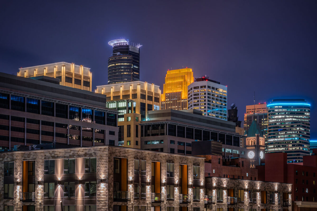
Illuminated downtown Minneapolis skyline at night featuring the IDS Center and Wells Fargo Tower among modern high-rises.
Capella Tower, completed in 1992, stands 776 feet tall and is known for the ring of lights around its crown. Minneapolis City Hall, built from 1888 to 1909, stands nearby with a clock tower whose four faces each measure about eleven and a half feet across.

Minneapolis City Hall Clock Tower and Capella Tower at Night
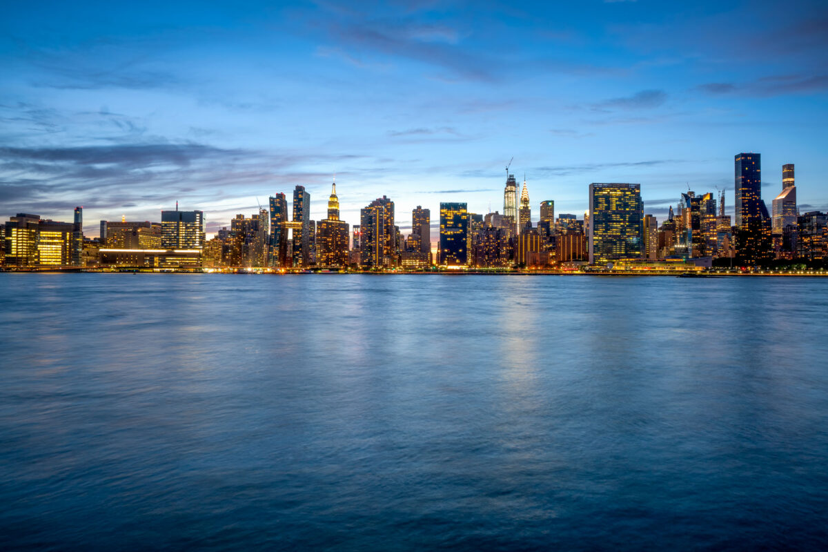
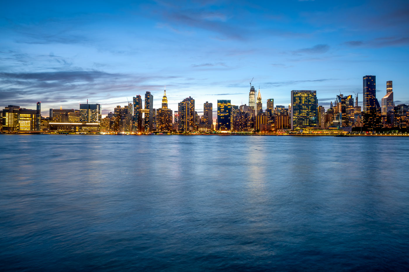
Midtown Manhattan skyline illuminated at dusk across the East River from Long Island City, Queens.
Midtown Manhattan rises across the East River as viewed from Long Island City in Queens. The Empire State Building, completed in 1931 to a height of 1,454 feet with its antenna, remains one of the skyline's most recognizable structures. Nearby, the Chrysler Building, finished in 1930, held the title of world's tallest building for less than a year before losing it to the Empire State Building. The East River separates Manhattan from Queens and Brooklyn, connecting New York Harbor to Long Island Sound as a tidal estuary rather than a true river. Long Island City, once dominated by factories and warehouses, has become one of the fastest-growing residential areas in New York City over the past two decades.

Manhattan Skyline Seen From Long Island City at Dusk
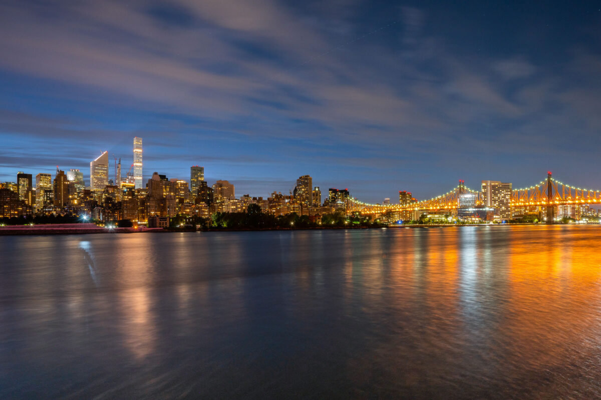
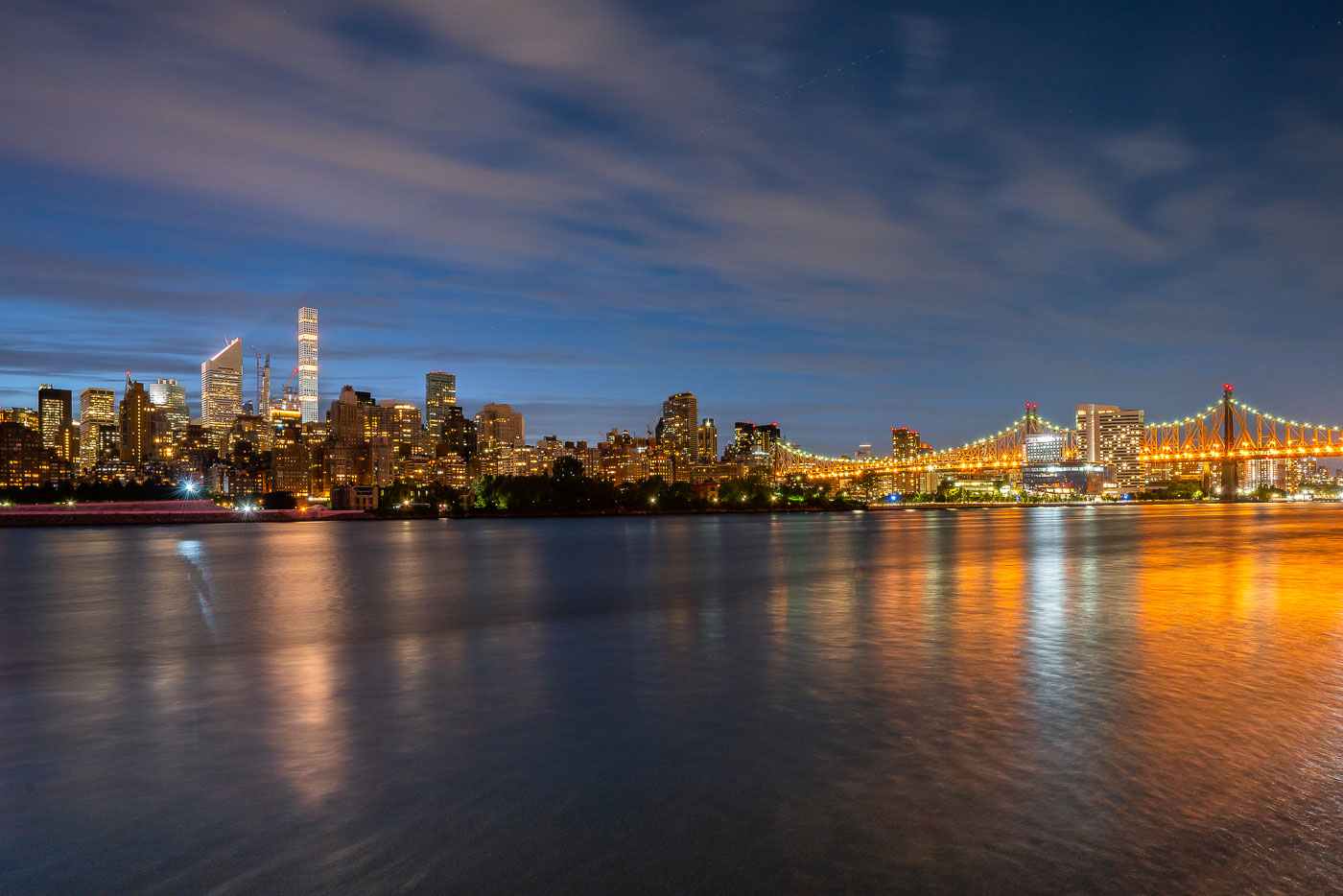
Manhattan skyline and illuminated Queensboro Bridge viewed from Long Island City across the East River.
Manhattan and the Queensboro Bridge in New York City are viewed from Long Island City, Queens. The East River separates the two boroughs along the Midtown waterfront. Night lighting from the bridge and skyline is reflected on the water.

Queensboro Bridge and Midtown Skyline at Twilight
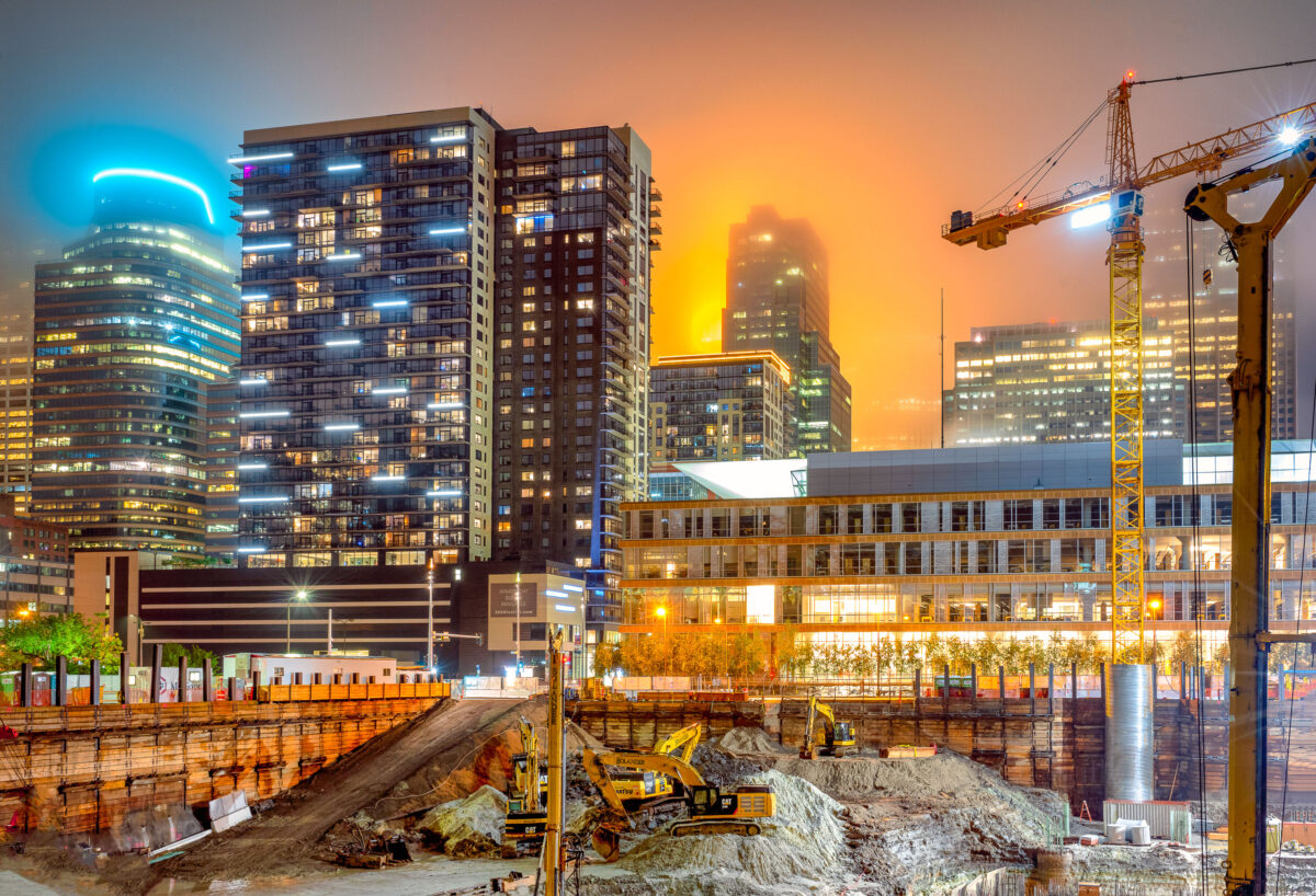
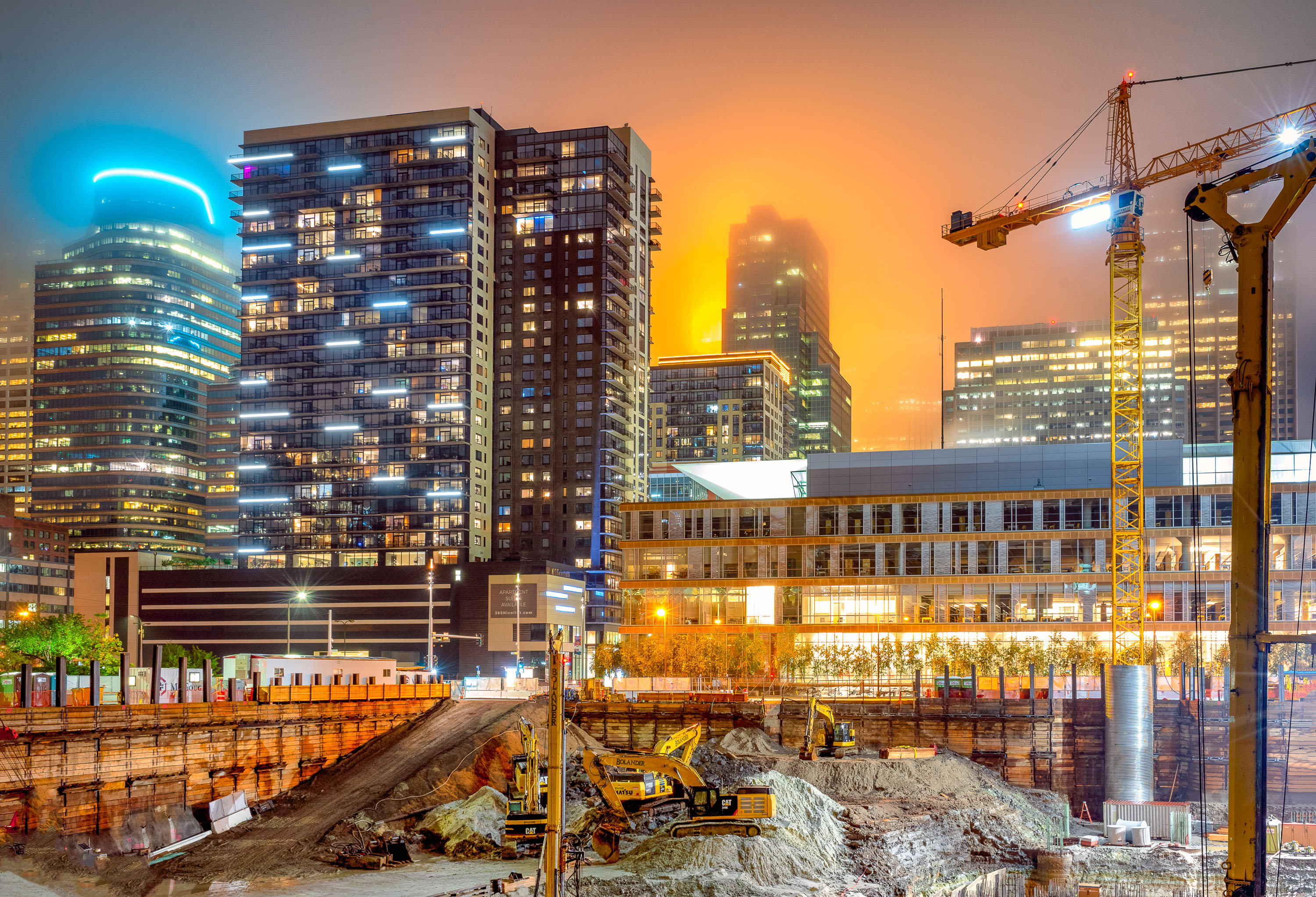
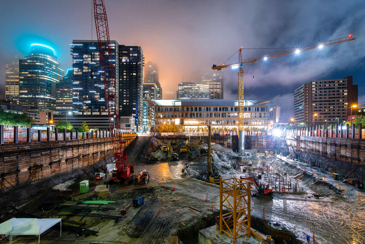
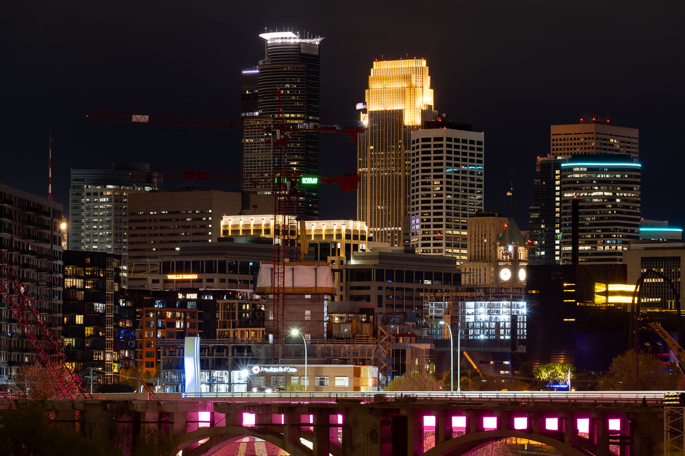
Construction cranes and excavators work at the RBC Gateway site in downtown Minneapolis during twilight with illuminated office towers in the background.
A foggy evening in Downtown Minneapolis with the RBC Gateway tower under construction on September 12, 2019.

Night Construction Site Beneath a Fog-Lit Minneapolis Skyline
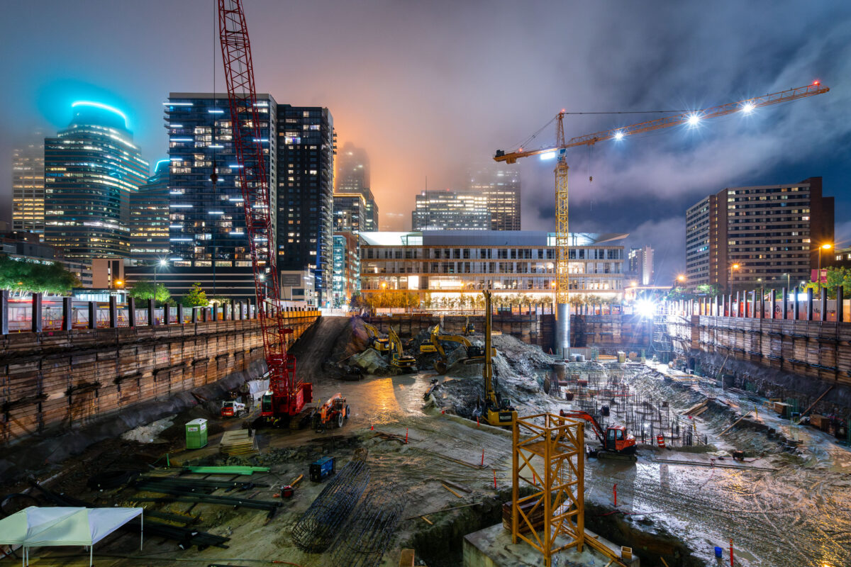
Tower cranes and construction equipment operate at the RBC Gateway site in downtown Minneapolis at dusk.
A tower crane at the site of the new RBC Gateway development in Downtown Minneapolis.

Night Excavation at the RBC Gateway Construction Site
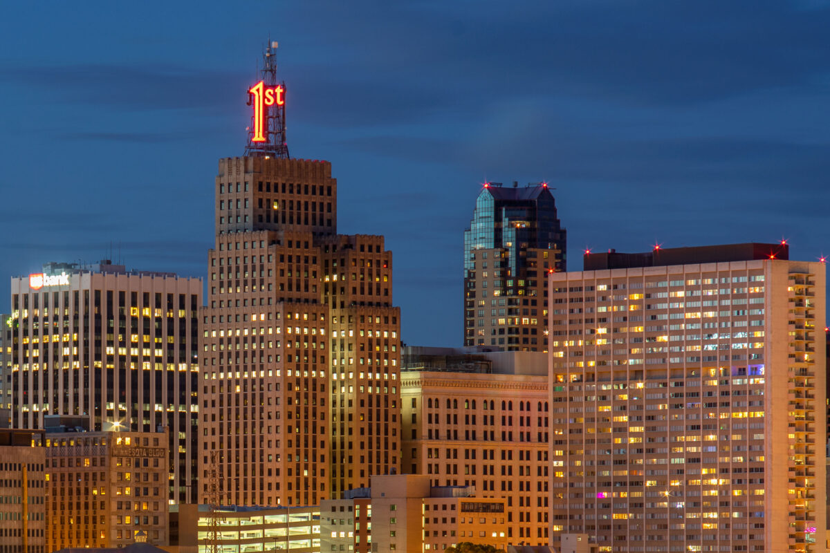
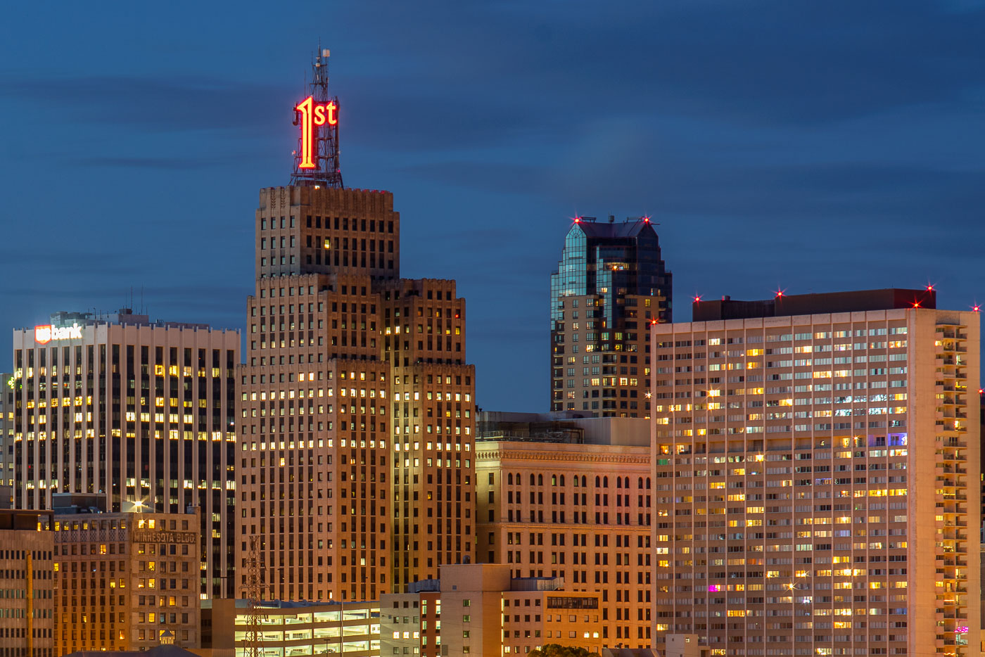
First National Bank Building with illuminated neon sign at dusk in downtown St. Paul.
The First National Bank Building dominates the St. Paul skyline at dusk. The Art Deco structure, completed in 1929, is identifiable by its distinctive "1st" neon sign atop the tower. Located on Bellows Street in downtown St. Paul, the building remains a prominent landmark in the city's commercial district.

First National Bank Building, St. Paul
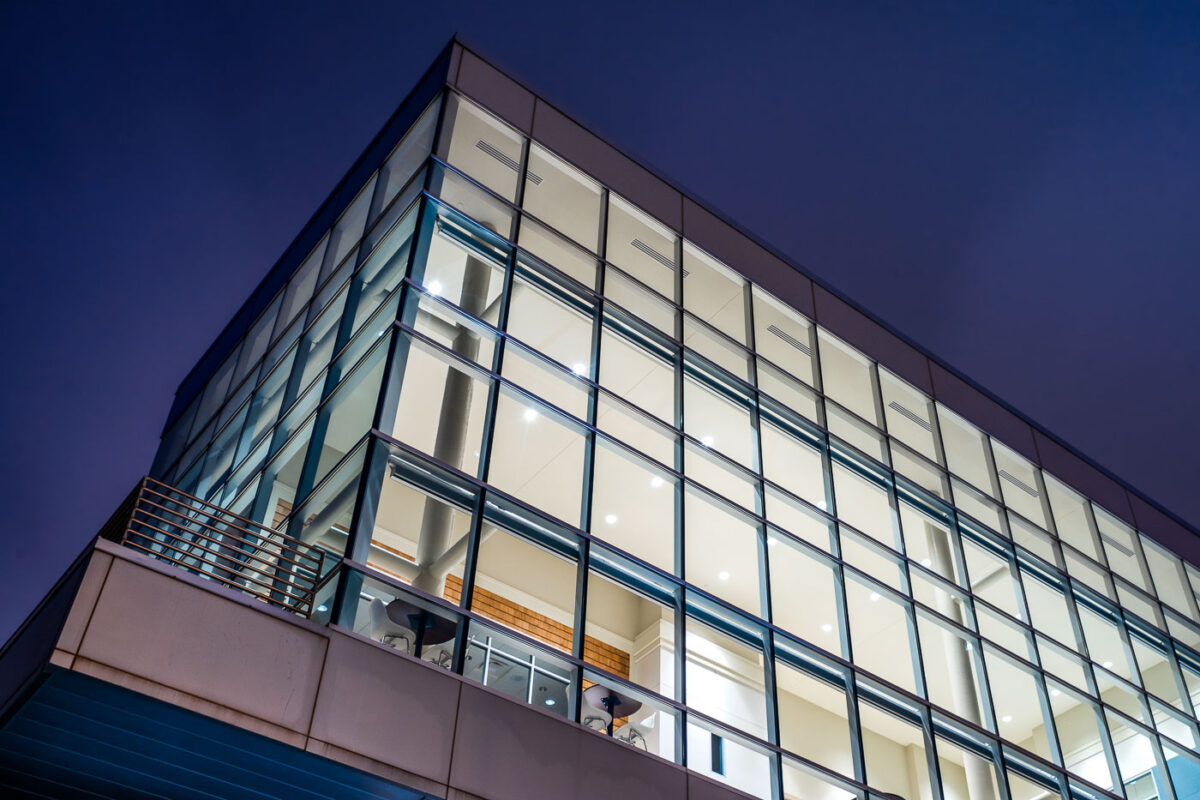
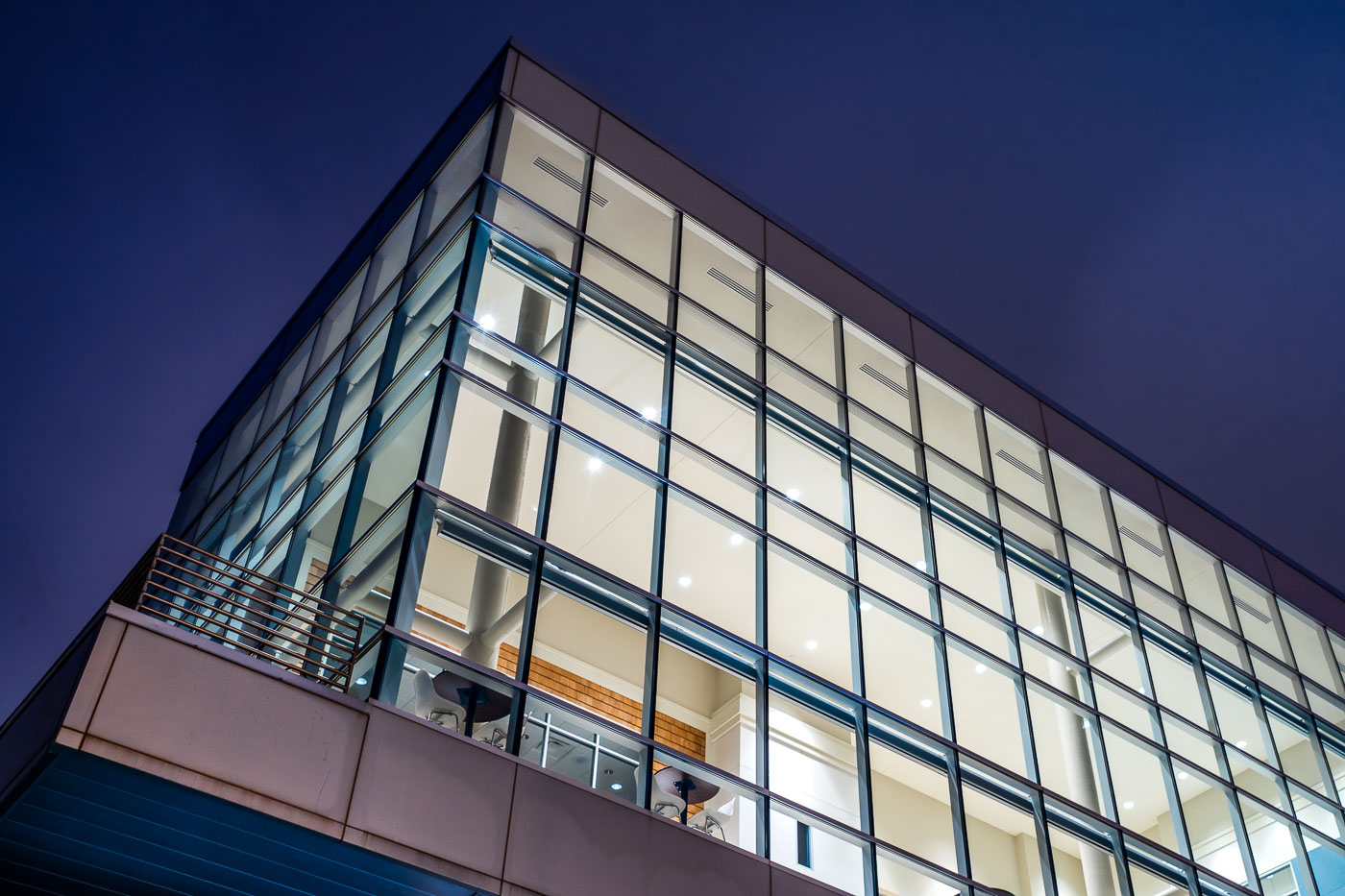
River Parkway Place in Minneapolis has a glass curtain wall lit at dusk.
River Parkway Place at 1101 West River Parkway in Minneapolis is a modern commercial building along the Mississippi River. The structure has a glass curtain wall and is adjacent to the site planned for the Eleven Condos development.

River Parkway Place, Minneapolis

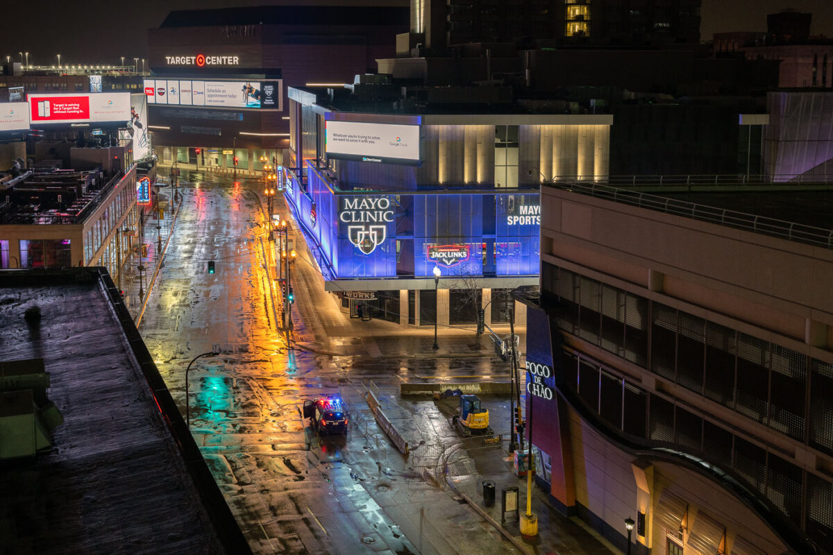
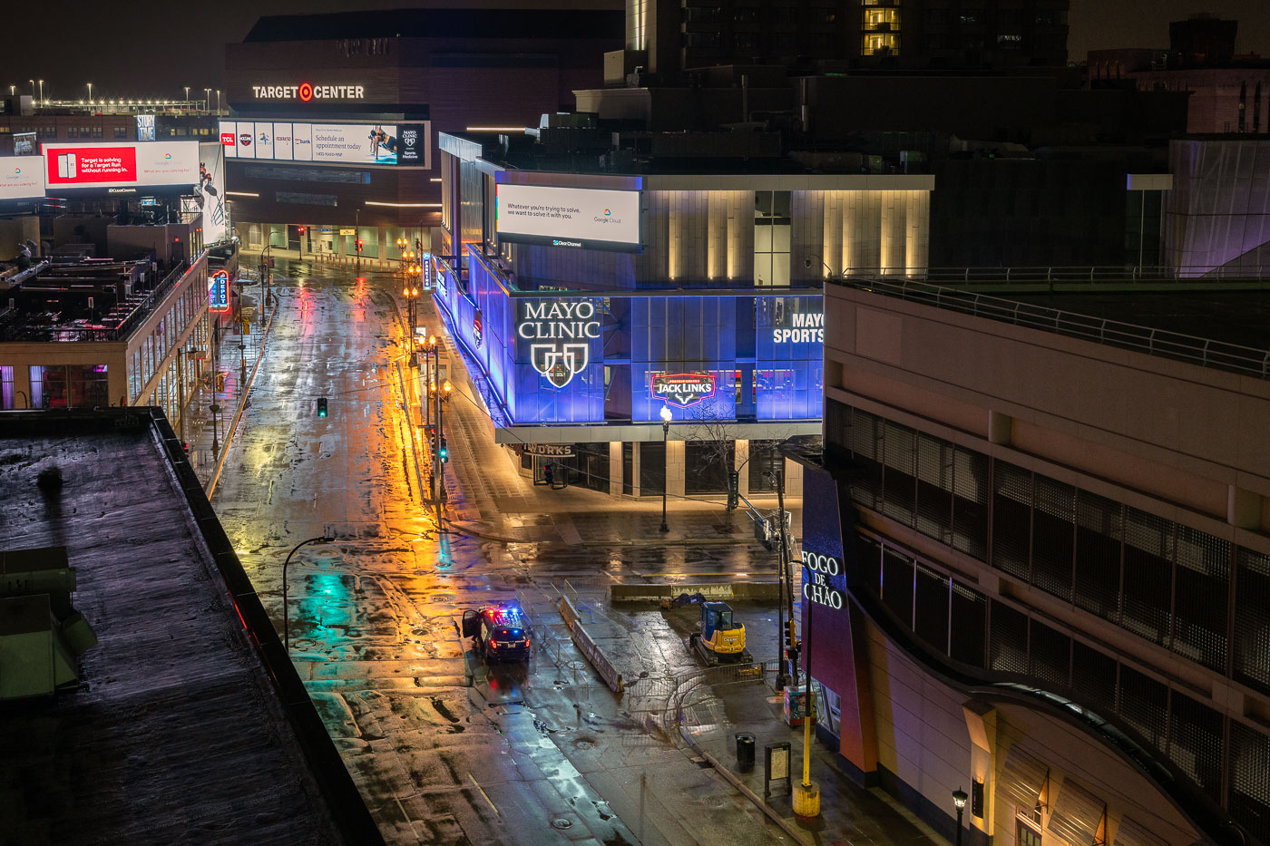
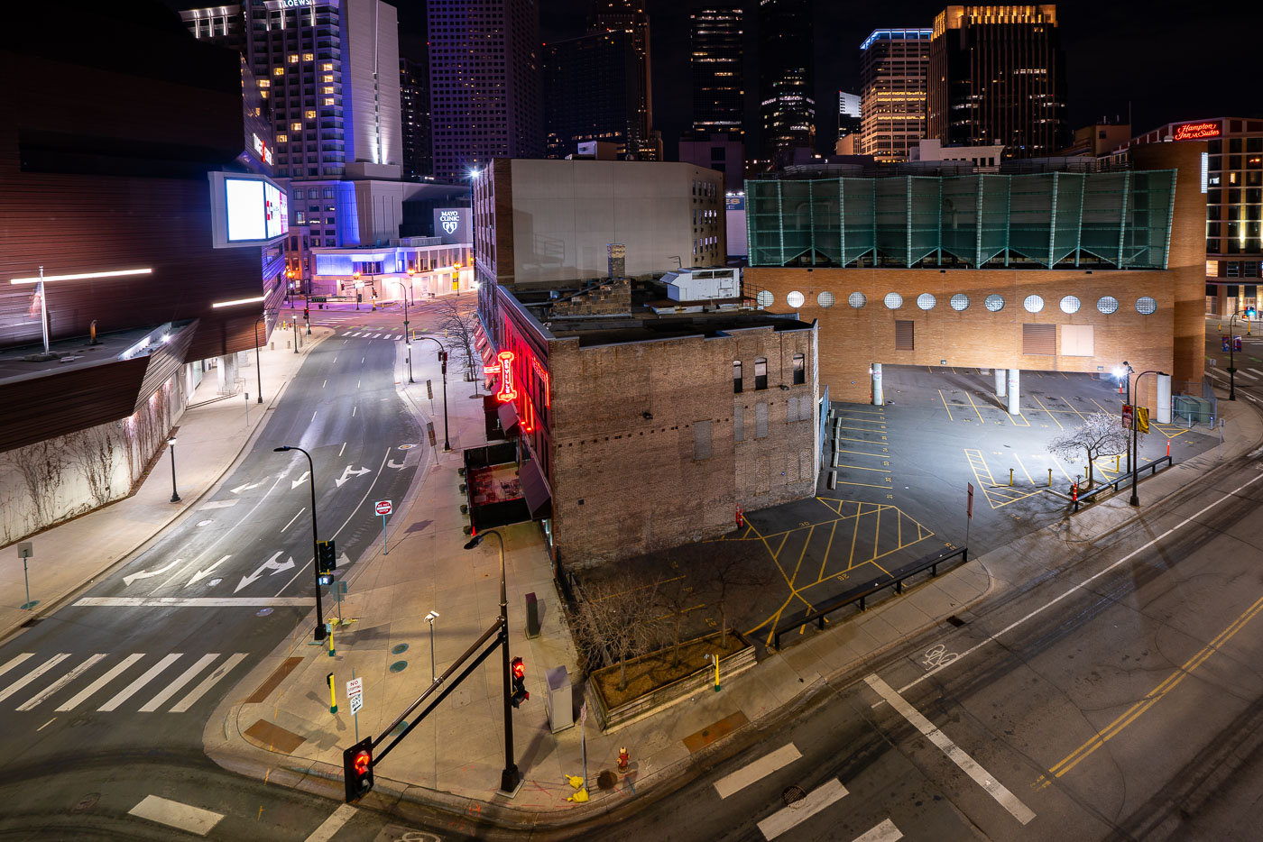
Police vehicle and excavator on wet Hennepin Avenue in downtown Minneapolis at night during COVID-19 shutdown.
Hennepin Avenue runs through downtown Minneapolis past Target Center, home of the Minnesota Timberwolves and Lynx, and Mayo Clinic Square, a mixed-use building housing retail space and the Minnesota Timberwolves' practice facility. The corridor sits at the center of the city's entertainment and sports district, connecting to First Avenue and the Warehouse District a few blocks south. In late March 2020, Minnesota's stay-at-home order emptied this stretch of its usual foot traffic, leaving only intermittent police and maintenance activity on the street.

Hennepin Avenue Near Target Center During Minneapolis’s COVID-19 Shutdown
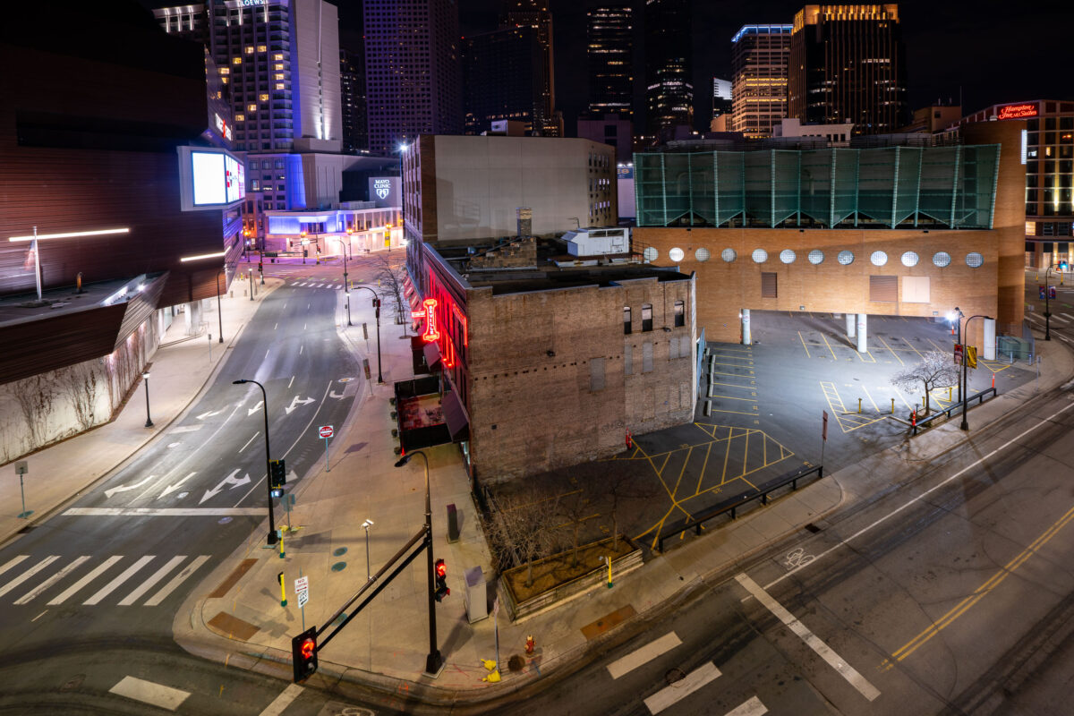
The Seville Club nightclub with red neon sign on 1st Avenue North in downtown Minneapolis during April 2020 COVID-19 shutdowns.
The Seville Club sits at 1st Avenue North and 9th Street in downtown Minneapolis, near the Target Center. Its red neon sign has long marked the block along a stretch of downtown known for nightlife and entertainment venues. In April 2020, statewide stay-at-home orders halted nightclub operations and left the surrounding streets and parking areas largely empty, a temporary condition rather than a permanent closure.

Seville Club on 1st Avenue North During Empty Downtown Streets
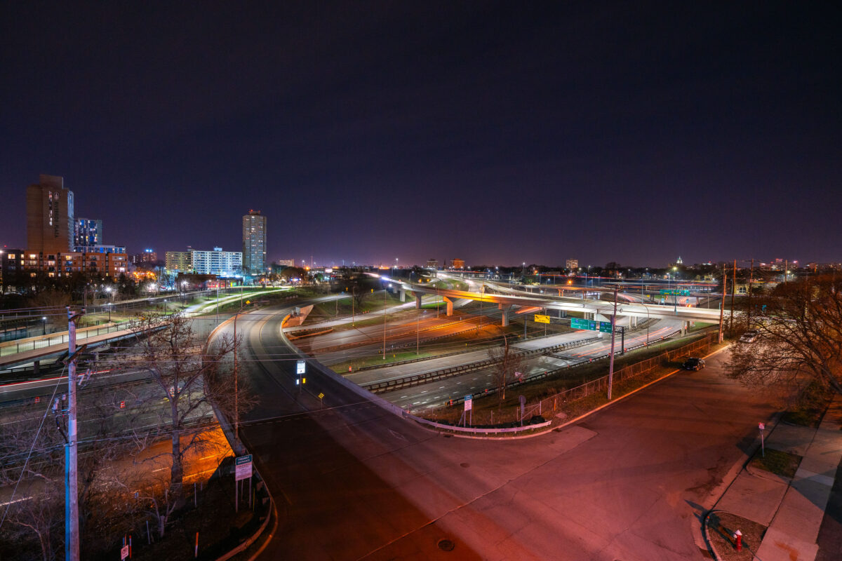
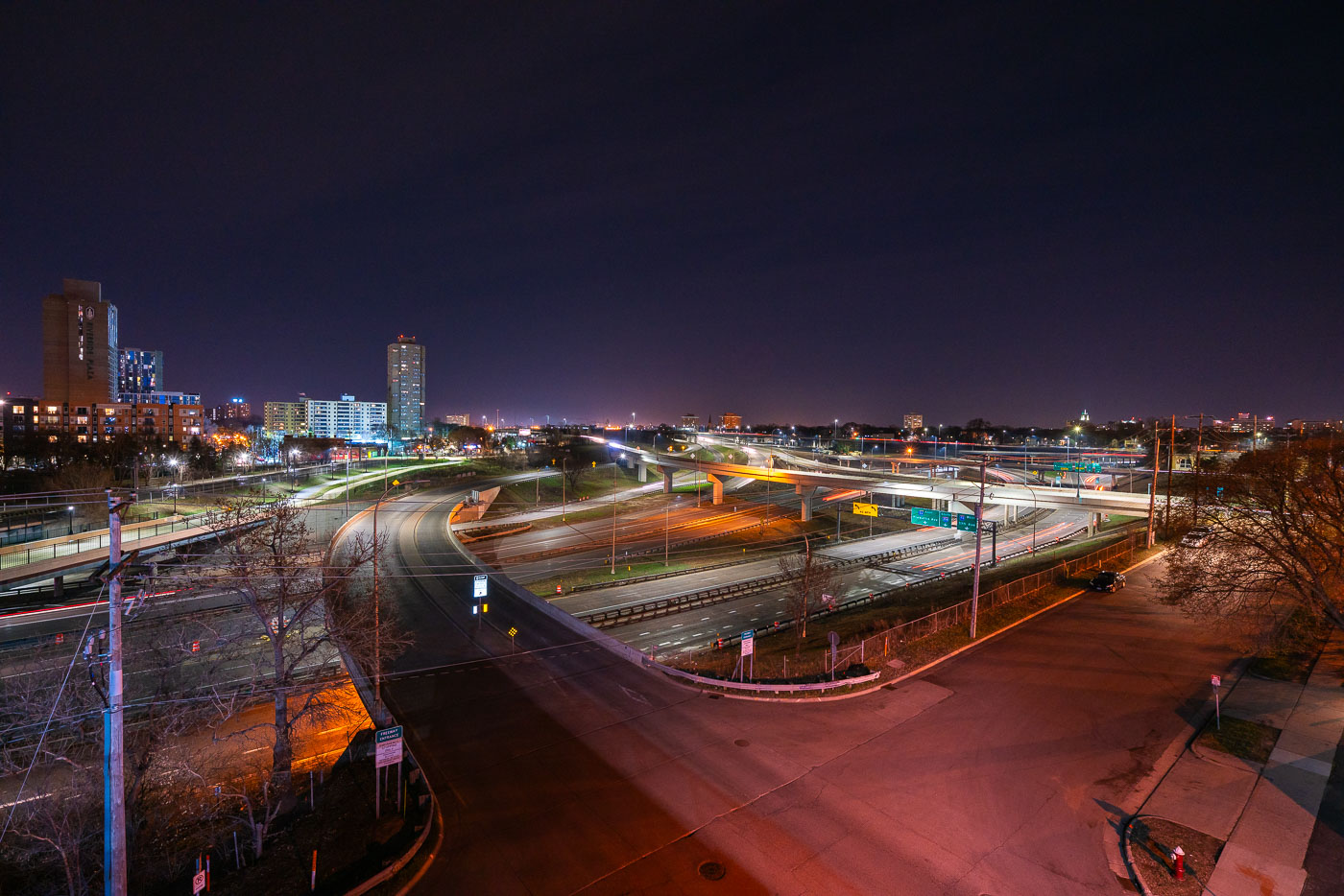
Interstate 35W and connecting ramps at night in Minneapolis with Cedar-Riverside neighborhood visible in background.
Interstate 35W cuts through the Cedar-Riverside neighborhood just south of downtown Minneapolis, carrying traffic between the city center and southern suburbs along the Twin Cities' busiest north-south corridor. The high-rise towers of Riverside Plaza, built in 1973 as public housing and now home to a large East African immigrant community, stand along the freeway's western edge. The interchange visible here connects 35W with Washington Avenue and the University of Minnesota's West Bank campus, one of several ramps rebuilt after the 2007 collapse of the 35W bridge over the Mississippi River prompted a broader reconstruction of the corridor.

Interstate 35W Interchange Near Cedar-Riverside at Night
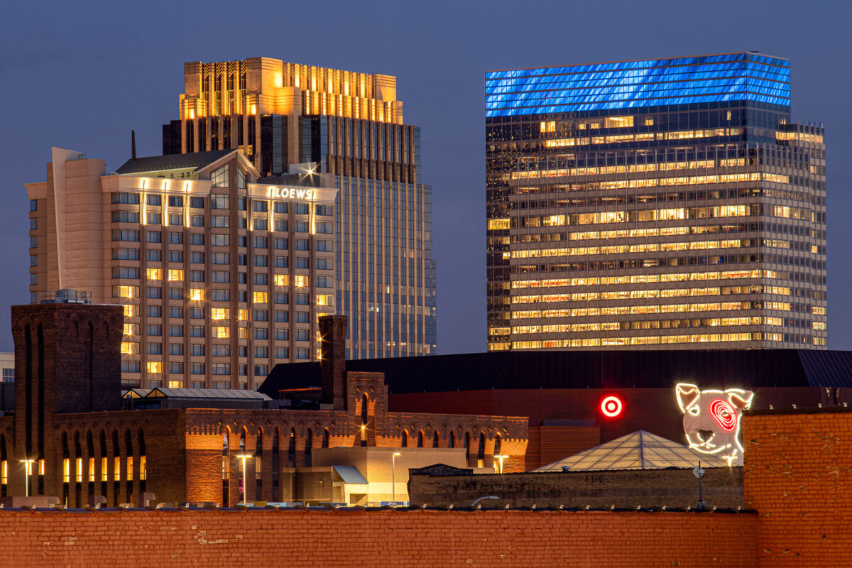
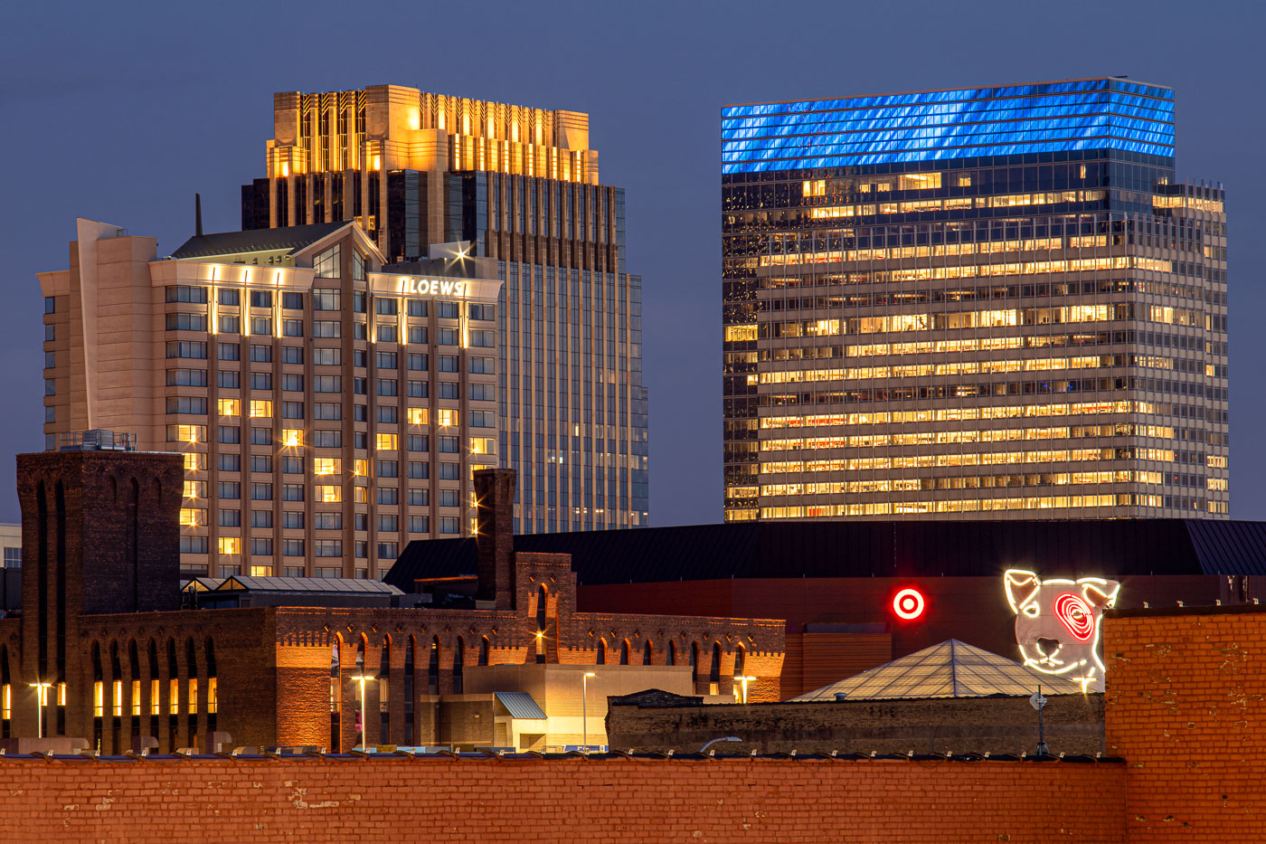
Loews Hotel and Target headquarters illuminated at night in downtown Minneapolis with Target Dog neon sign in foreground.
Target's corporate headquarters tower rises at 1000 Nicollet Mall, its glass exterior wrapped in a blue-lit crown near the top floors. The company has been based in downtown Minneapolis since its founding as a Dayton's discount offshoot in 1962, and its headquarters campus remains one of the largest employers in the city's core. The neon Bullseye dog sign near the building's base is a longstanding piece of Target's branding, drawn from the company's mascot, Bullseye. To the left, the Loews Minneapolis Hotel occupies part of the LaSalle Plaza complex, a mixed-use development completed in 1991 that also includes office space and street-level retail along Nicollet Mall.

Target’s Bullseye Dog Sign Beneath Its Minneapolis Headquarters
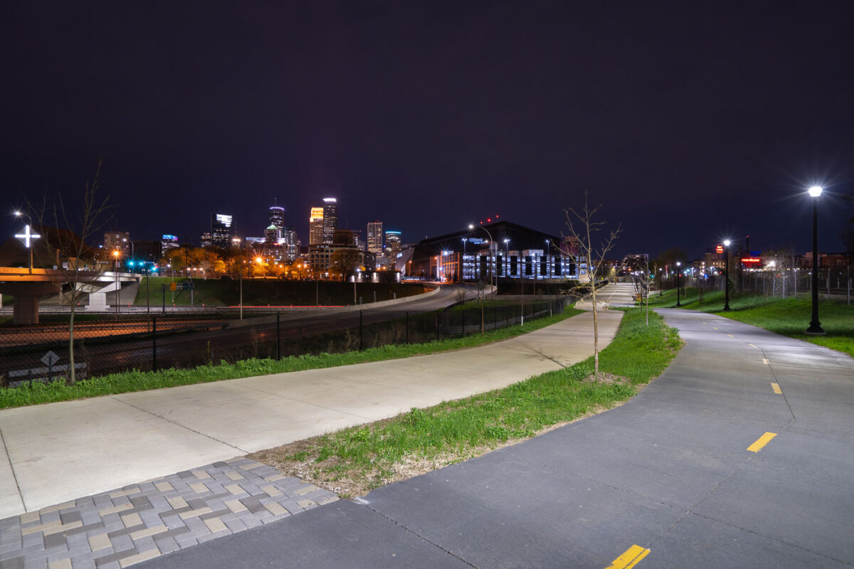
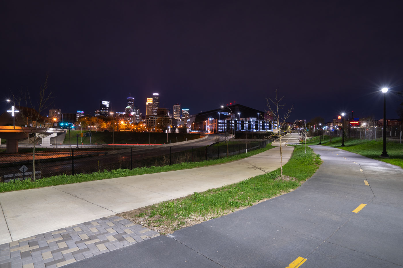
Samatar Crossing near Downtown Minneapolis
The Samatar Crossing shared use path near downtown Minneapolis. The path leads from Cedar Riverside to near US Bank Stadium.

Samatar Crossing near Downtown Minneapolis

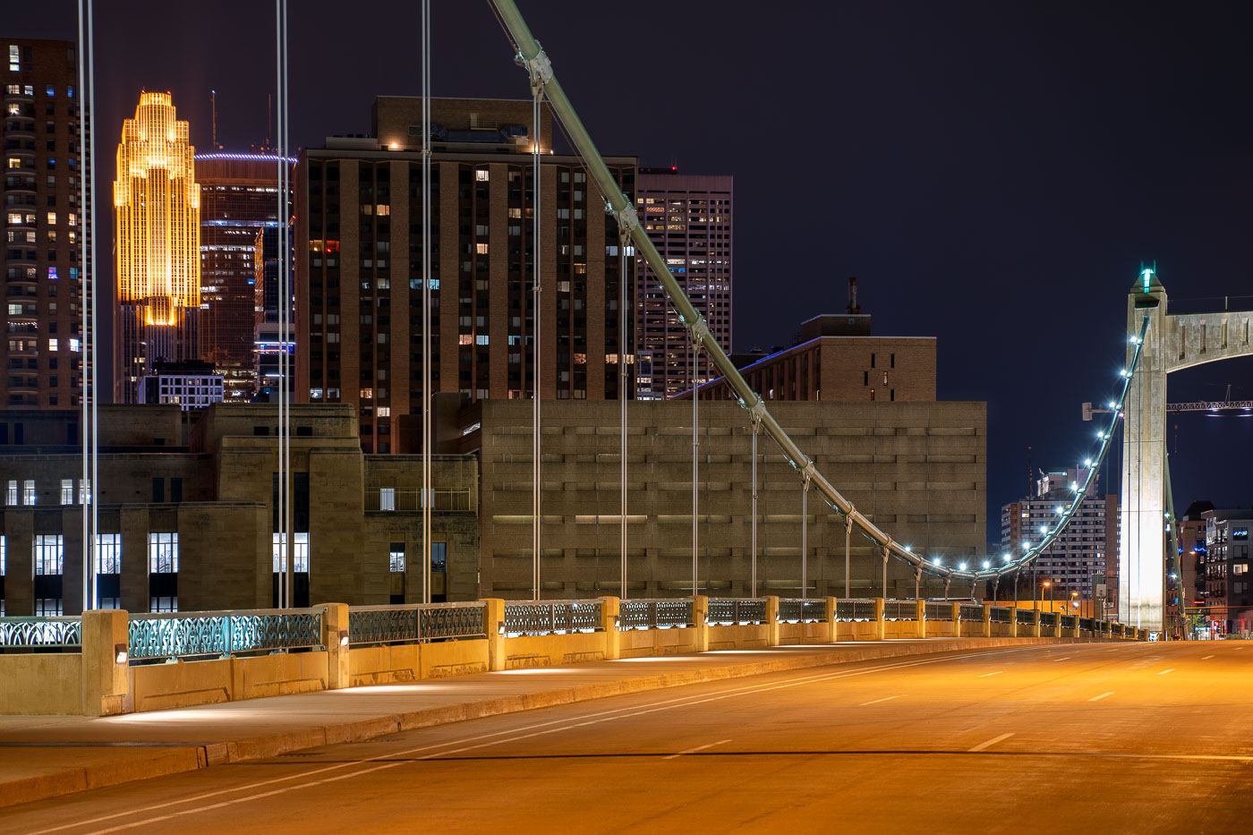
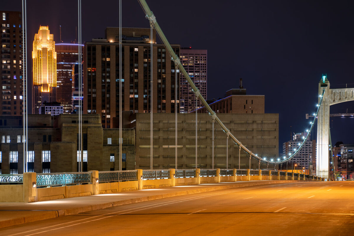
Hennepin Ave bridge at night during covid19
The Hennepin Avenue Bridge in Minneapolis, MN, is seen here during the COVID-19 pandemic.

Hennepin Avenue Bridge, Minneapolis, During COVID-19 Pandemic
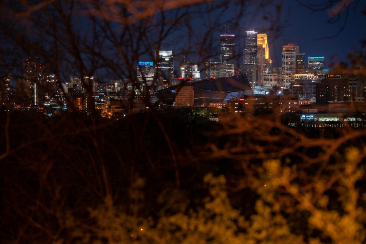
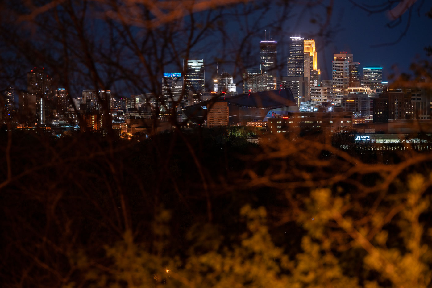
Minneapolis skyline at night from Witches Hat
Downtown Minneapolis as seen from the Prospect Park and Witches Hat. In my opinion, this is a very underrated view of the downtown skyline!

Minneapolis skyline from Witches Hat

Minneapolis in Development
Tower cranes in downtown Minneapolis during constructon work on the 10th avenue bridge.

Minneapolis in Development

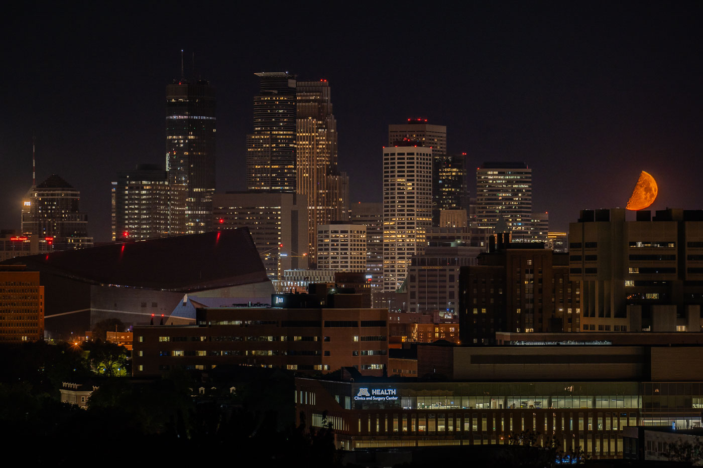
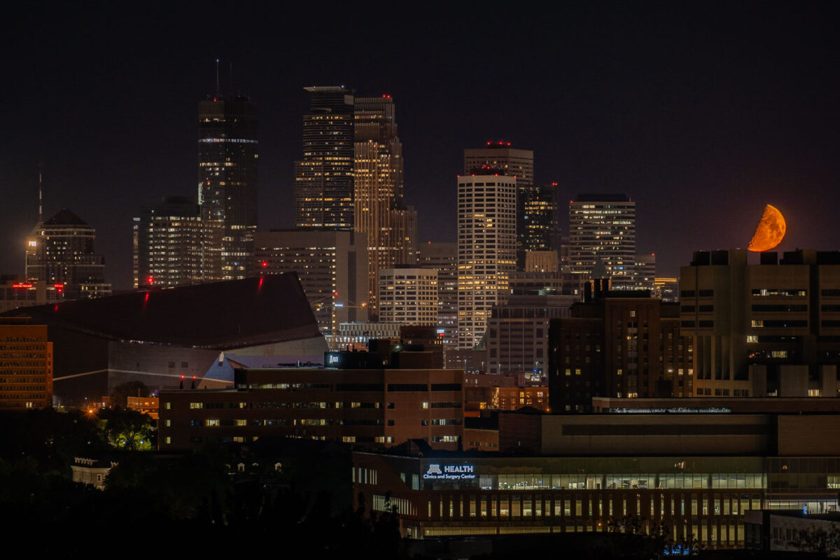
Orange moon over downtown Minneapolis during George Floyd protest unrest.
An orange moon rises beside the downtown Minneapolis skyline in Minnesota in the early hours of May 30, 2020, during the unrest that followed the killing of George Floyd. Visible landmarks include U.S. Bank Stadium at left and the M Health Clinics and Surgery Center in the foreground, with office and medical buildings filling the city center. The moon’s color was likely intensified by smoke and haze hanging over the city as fires burned during that period.

Orange Moon over Minneapolis Protests
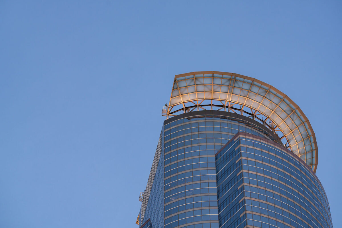
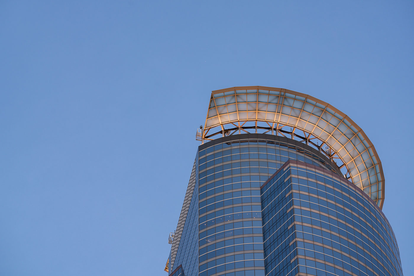
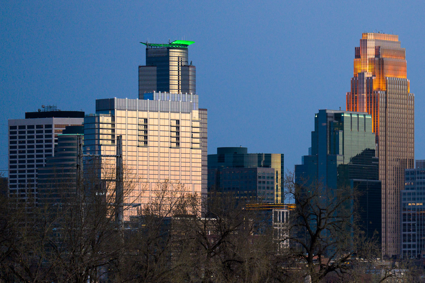
Capella Tower rooftop crown rises above downtown Minneapolis at dusk.
Capella Tower's rooftop crown rises above downtown Minneapolis. The 57-story office skyscraper opened in 1992 as First Bank Place and is one of the tallest buildings in Minnesota. Its semicircular crown is a defining architectural feature at the top of the tower.

Capella Tower Rooftop Crown, Minneapolis
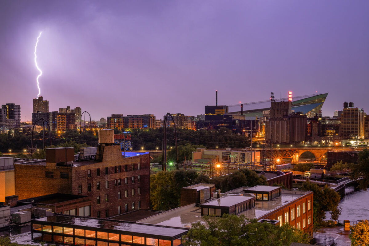
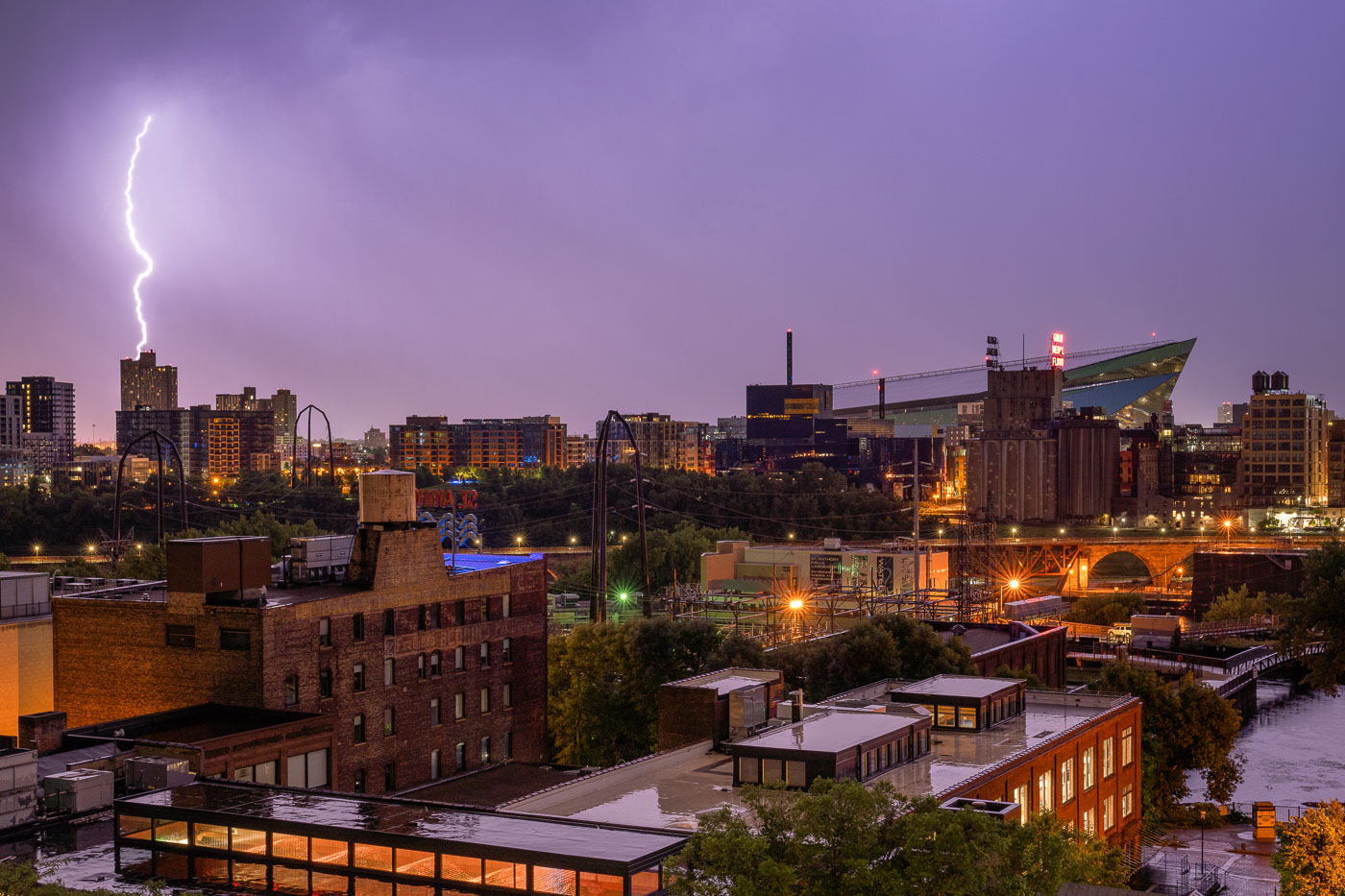
Lighting strike near US Bank Stadiium
A lightning bolt illuminates the early morning sky over downtown Minneapolis on July 18, 2020, striking a high-rise building. In the background, US Bank Stadium, the home of the Minnesota Vikings since its opening in 2016, stands prominently with its distinctive angular roof.

Lightning Strike on Minneapolis Building, US Bank Stadium
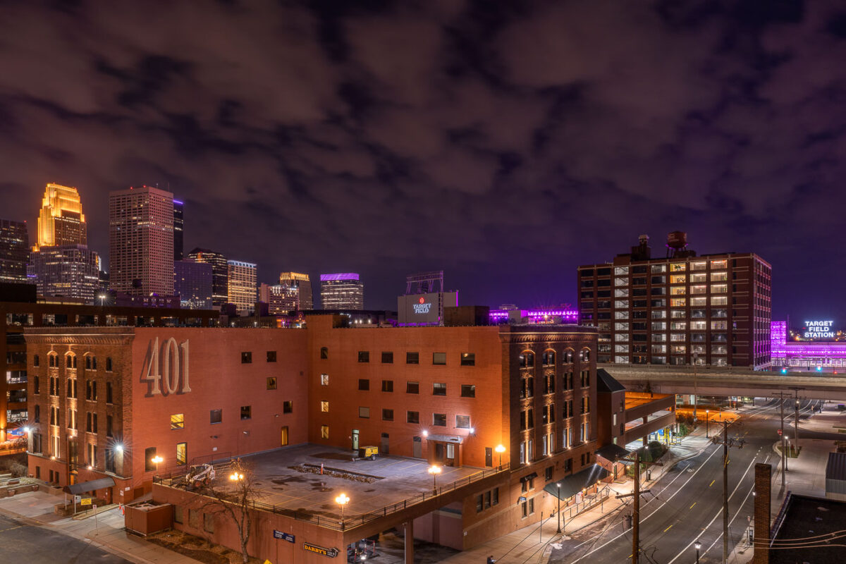
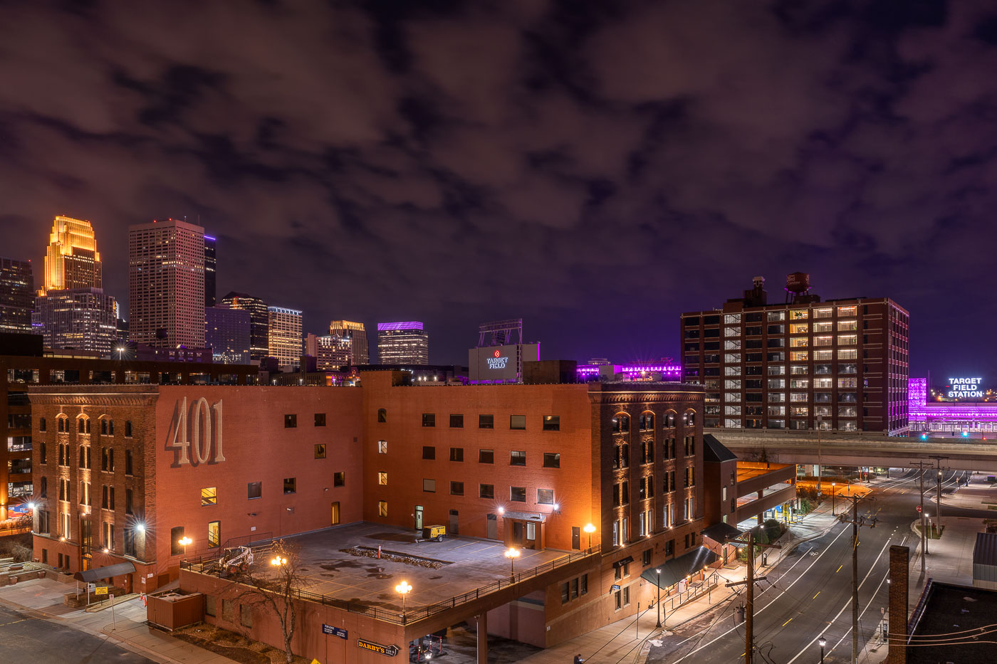
The 401 Building, a converted warehouse with residential units, anchors North Loop with downtown Minneapolis skyline beyond at
The 401 Building at 401 North Third Street began as a warehouse in the North Loop's old warehouse district, part of the milling and shipping infrastructure that once served the riverfront. Like many of its neighbors, it's since been converted to loft-style condominiums and commercial space, a common path for the district's brick-and-timber buildings since the 1980s. Target Field Station, visible to the east, opened in 2014 as a transit hub serving Northstar Commuter Rail, light rail, and bus routes, along with a public plaza used for Minnesota Twins game-day events. Downtown Minneapolis rises beyond both, its cluster of high-rises anchored by the IDS Center and Wells Fargo Center towers.

The 401 Building and Minneapolis Skyline From North Loop
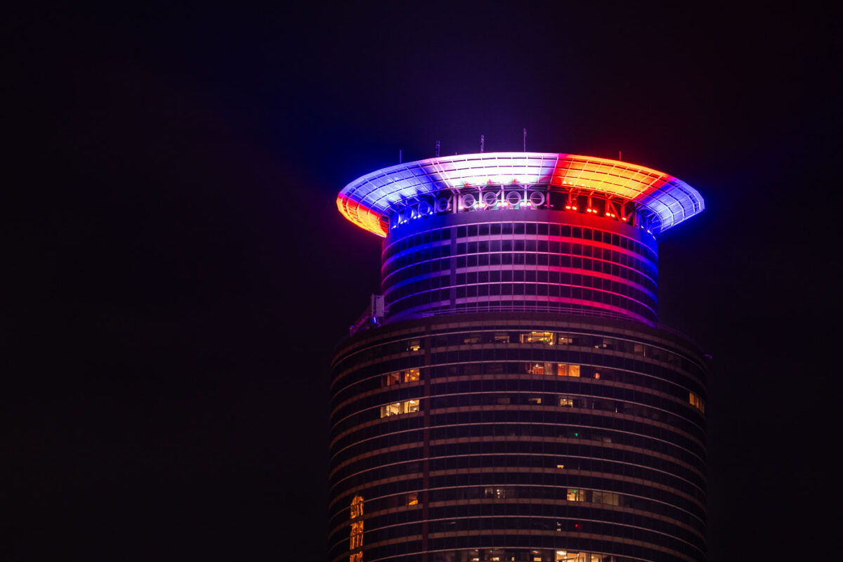
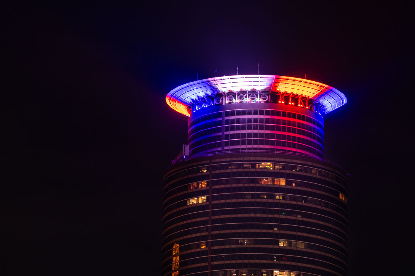
Capella Tower in red white and blue on January 6
Capella Tower in downtown Minneapolis is illuminated in red, white, and blue lights. The building, completed in 1992, is a prominent feature of the Minneapolis skyline and houses offices and hotel accommodations. The patriotic lighting on January 6, 2021, coincided with the attack on the United States Capitol Building in Washington D.C., reflecting a moment of national turmoil and remembrance.

Capella Tower, Minneapolis, Lit Red, White, Blue
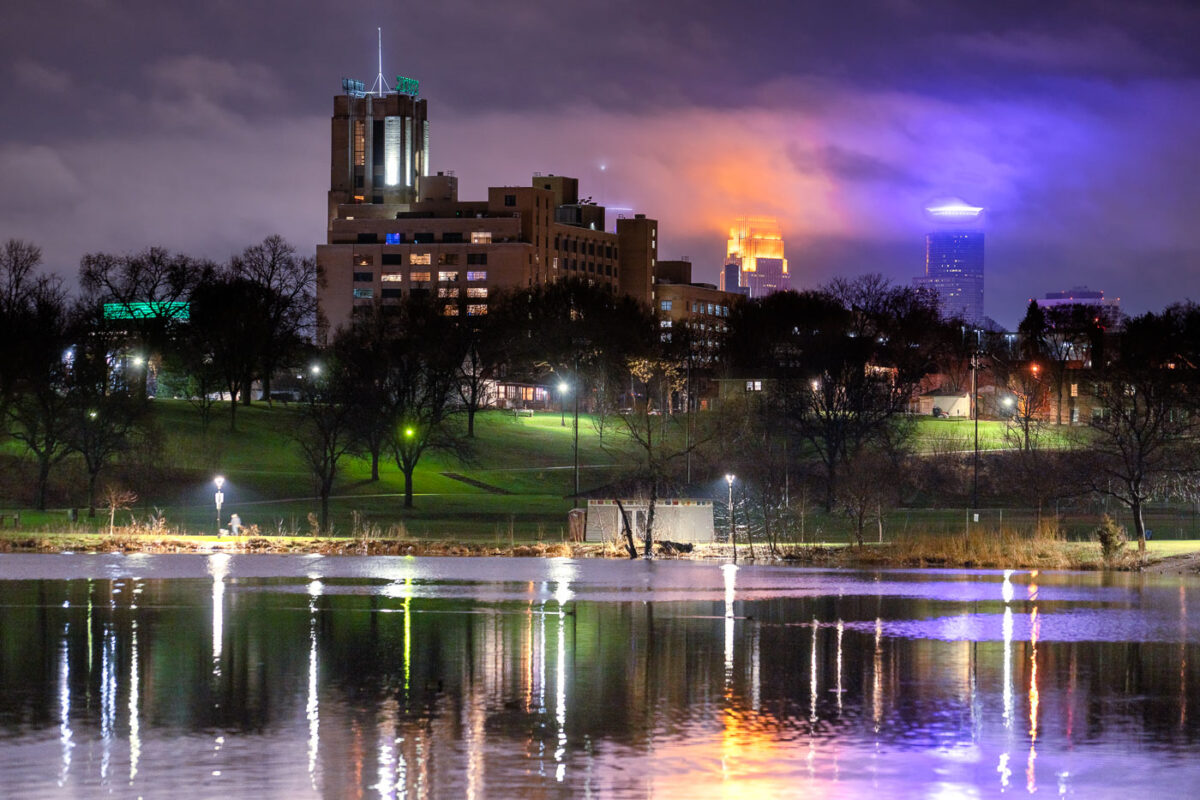
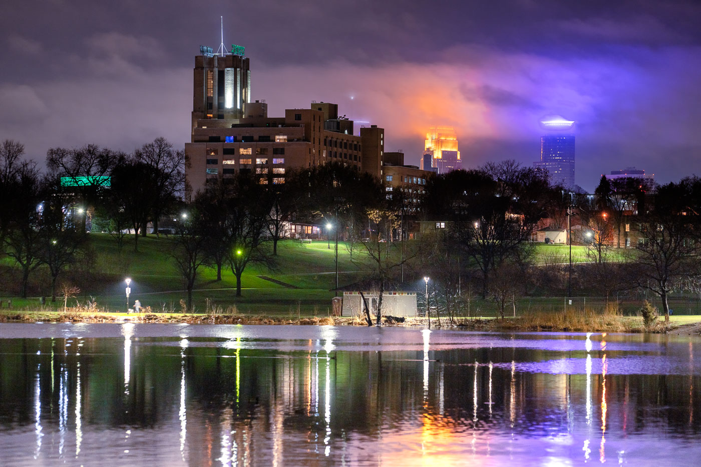
Powderhorn Park pond and Minneapolis skyline at night, seen from South Minneapolis.
Powderhorn Park in South Minneapolis is illuminated by the city's skyline at night. The park, established in 1889, is one of Minneapolis's oldest and most cherished public spaces, offering residents a place for recreation and community gathering. The prominent building in the foreground is likely part of the former Minneapolis General Hospital complex, which operated from the 1930s until the 1990s. The distant skyscrapers represent the modern urban core of Minneapolis, reflecting the city's growth and development over time.

Minneapolis Skyline and Powderhorn Park at Night
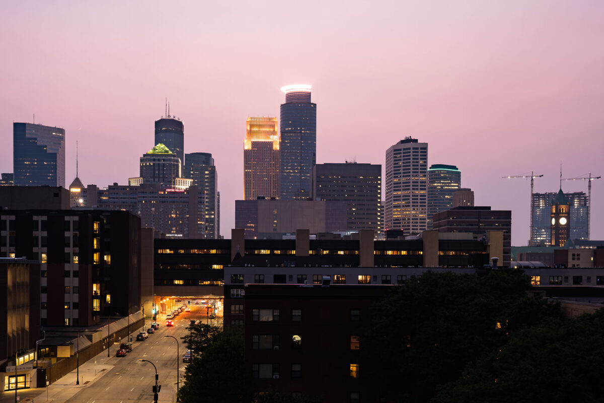
Downtown Minneapolis skyline from South 7th Street during wildfire smoke.
Downtown Minneapolis, Minnesota, during wildfire smoke conditions on July 11, 2021. The skyline is visible from South 7th Street as smoke from Canadian wildfires reduced air quality across the city.

Downtown Minneapolis skyline from South 7th Street

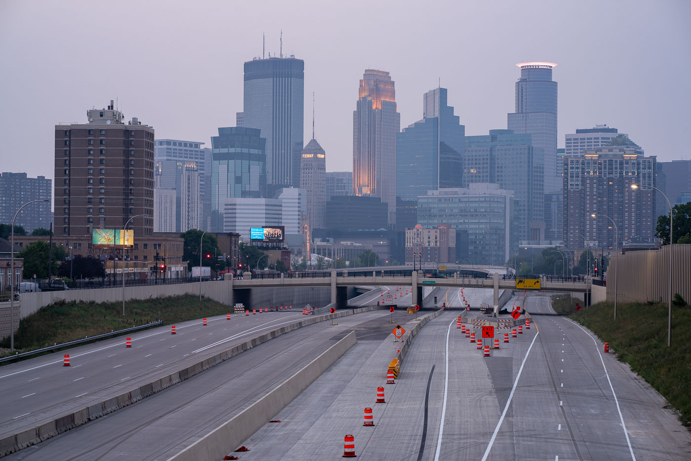
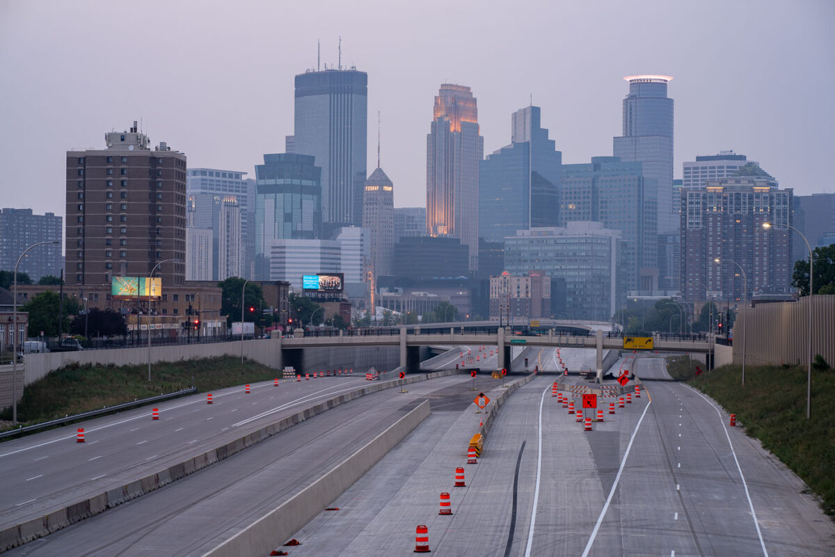
Air quality alerts and Downtown Minneapolis
The Minneapolis skyline is obscured by wildfire smoke, a recurring environmental issue impacting the region. Interstate 35W, a major north-south freeway, is visible in the foreground, marked by construction cones and barriers, indicating ongoing infrastructure work.

Downtown Minneapolis Skyline Through Wildfire Haze
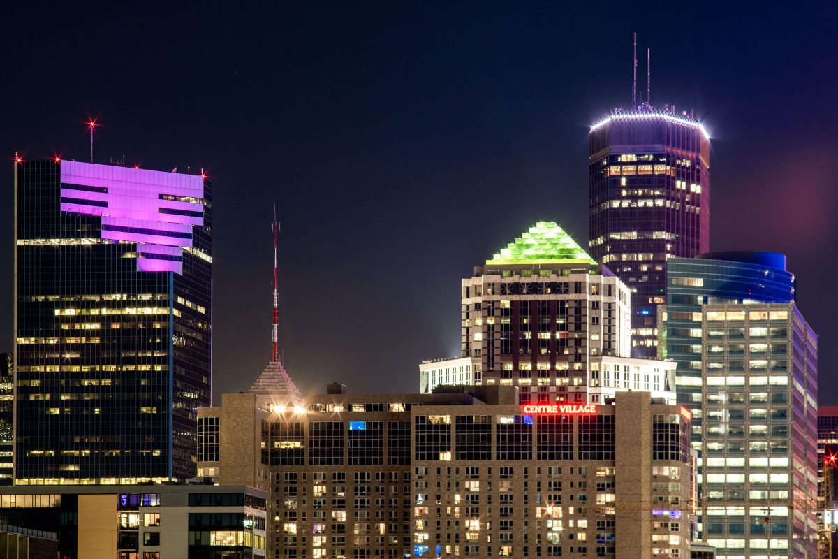
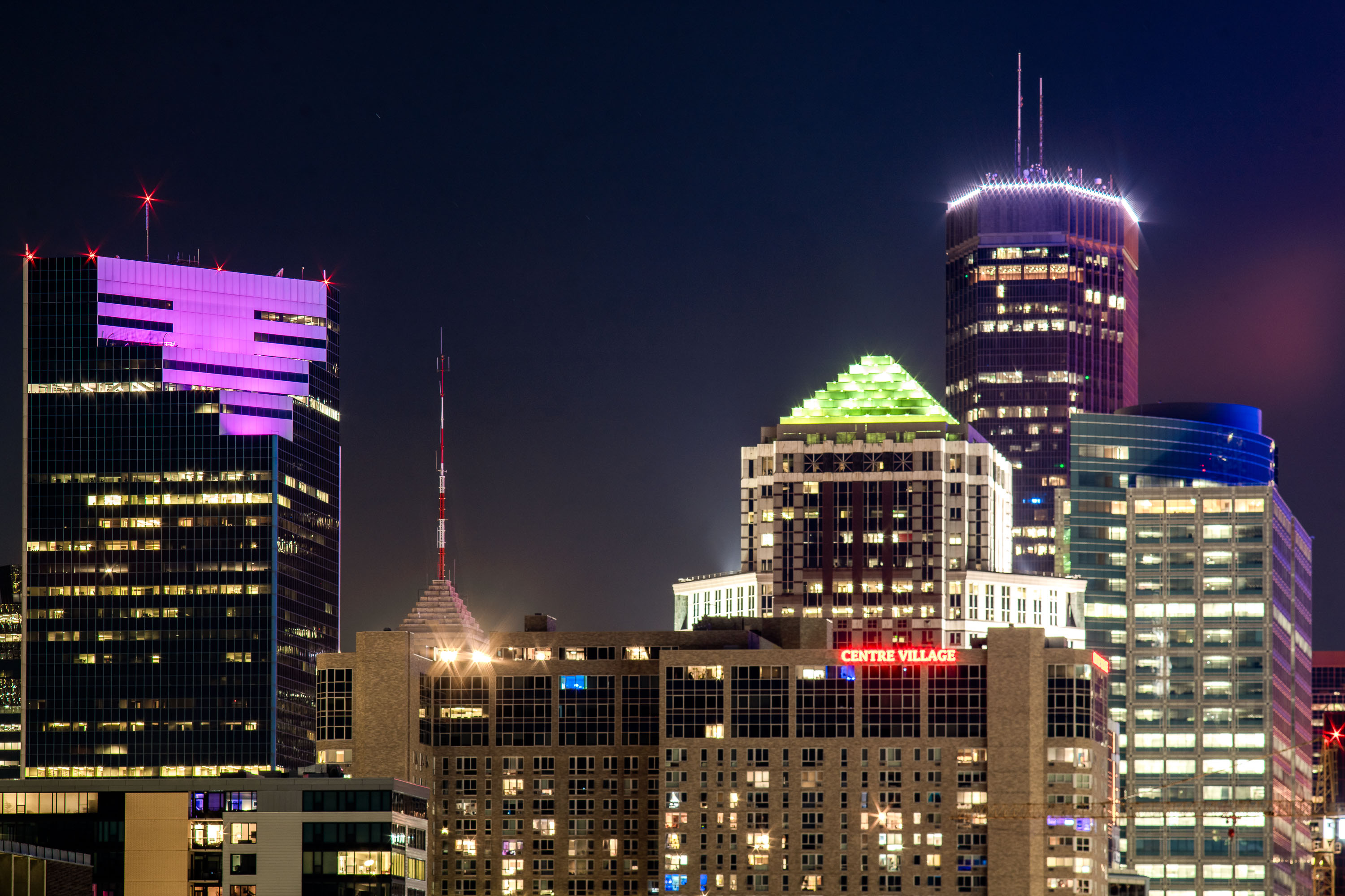
Two22, IDS Center and Centre Village buildings in Downtown Minneapolis.
The Two22 building (formerly Campbell Mithun Tower) is the latest building in Minneapolis to get a lightng change. In the last week it's changed from its long time white lightning to a purple.

Two22 Building, Centre Villafge, IDS Center in Downtown Minneapolis
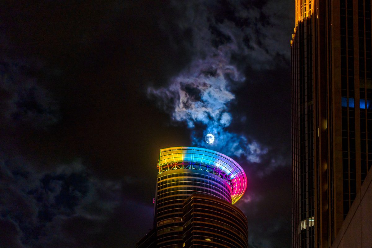
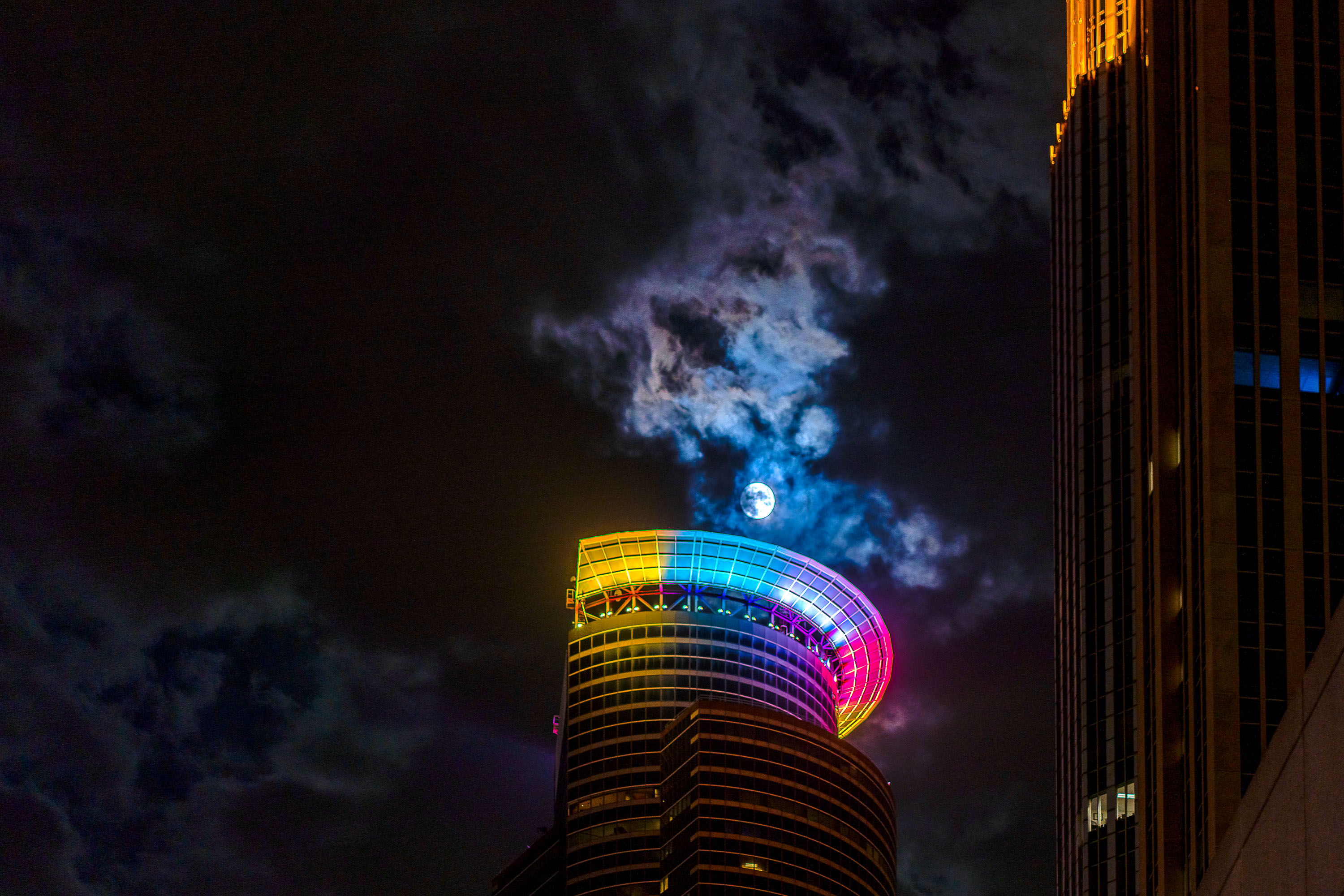
Full moon visible behind the illuminated Capella Tower in downtown Minneapolis at night.
A full moon over the Capella Tower in downtown Minneapolis in October 2021.

Full Moon Behind the Capella Tower’s Illuminated Crown
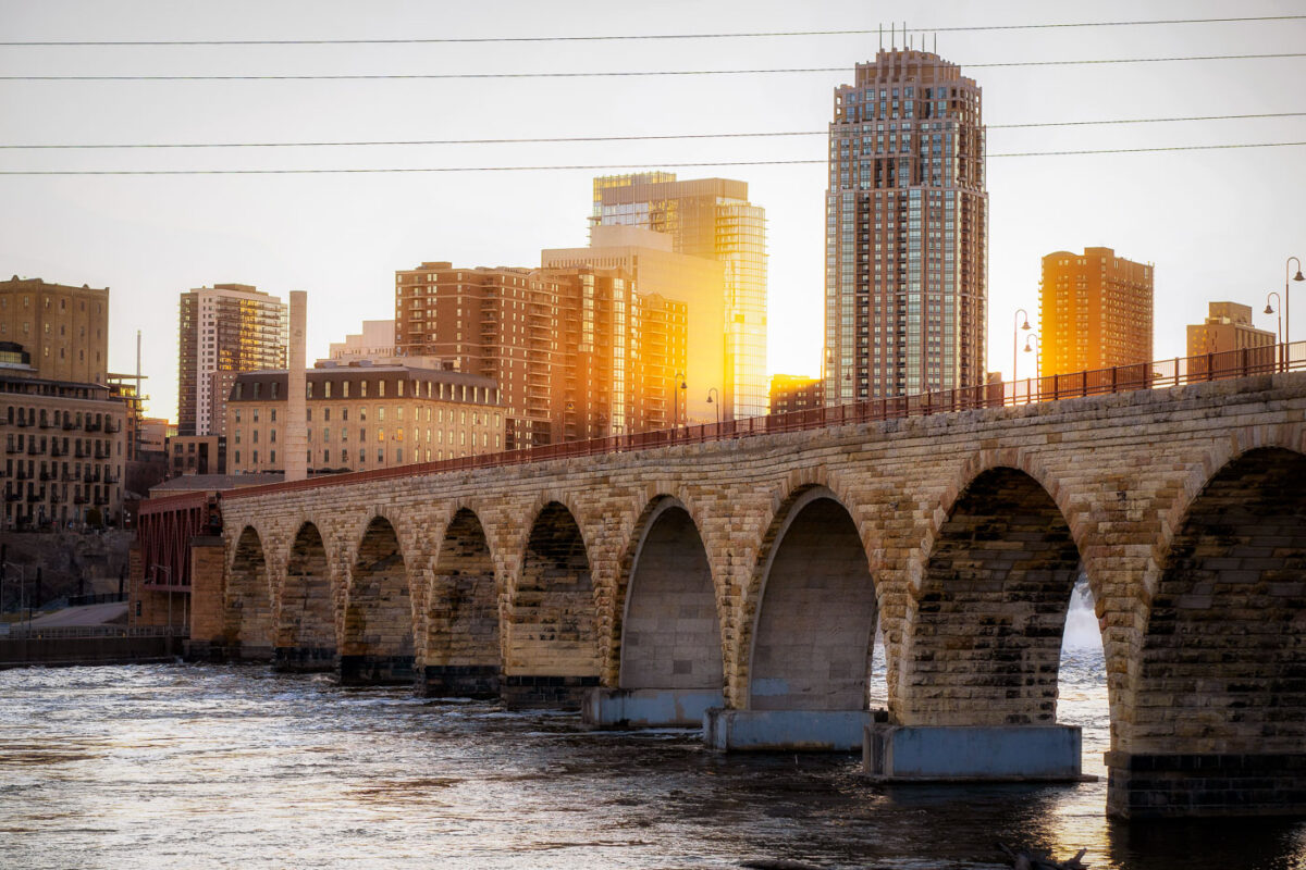
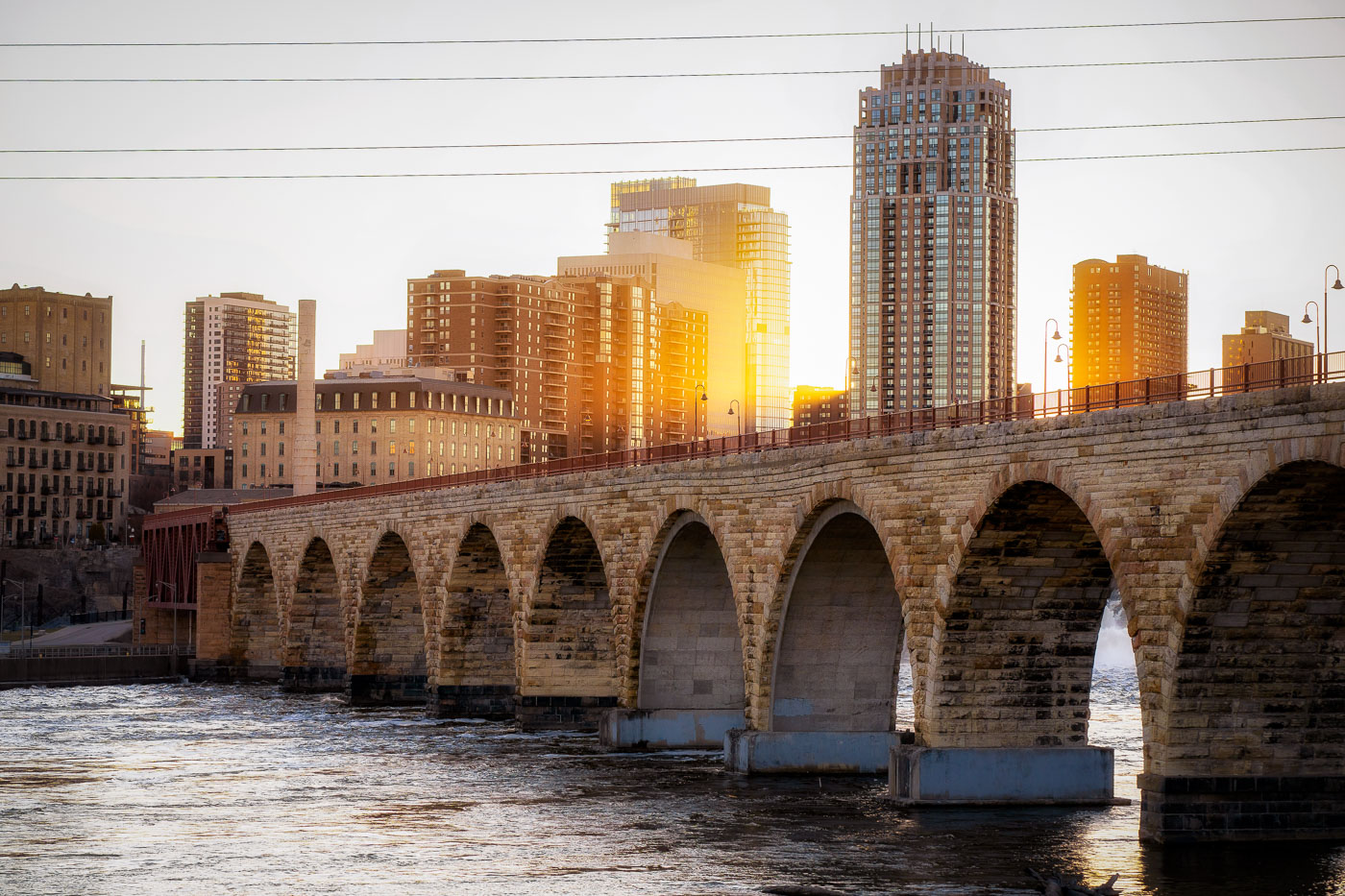
The Stone Arch Bridge spans the Mississippi River in Minneapolis at sunset with the city skyline beyond.
The Stone Arch Bridge, a historic 2,300-foot-long stone arch bridge spanning the Mississippi River in Minneapolis. Constructed in 1883, it was once the longest stone arch bridge in the world and served as a vital railway bridge for the Great Northern Railway.

Golden Light Over Minneapolis Skyline From Stone Arch Bridge
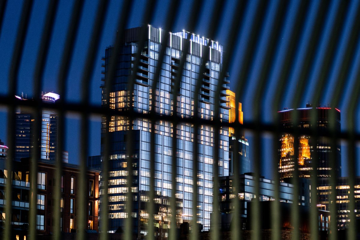
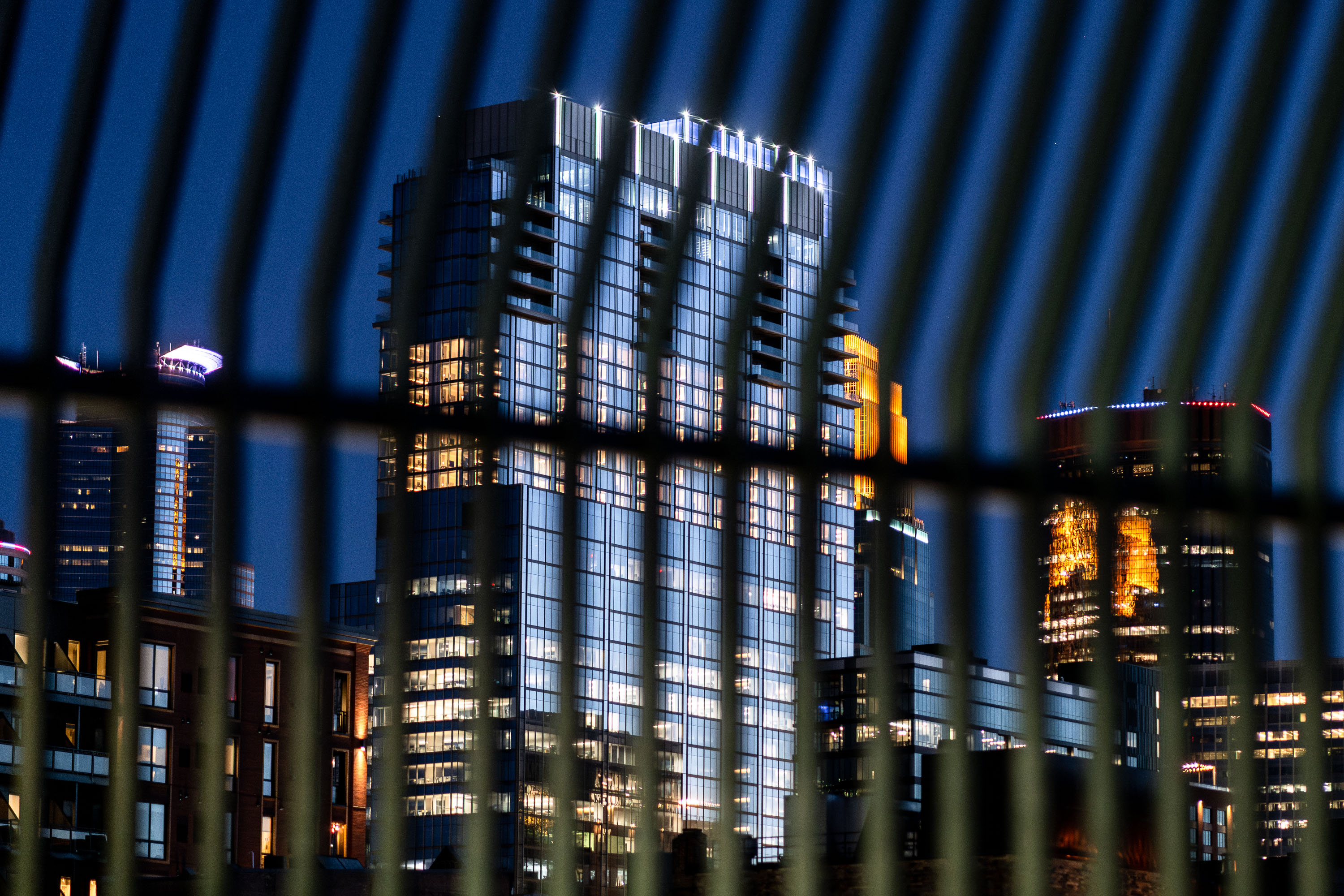
RBC Gateway Behind A Fence in Minneapolis
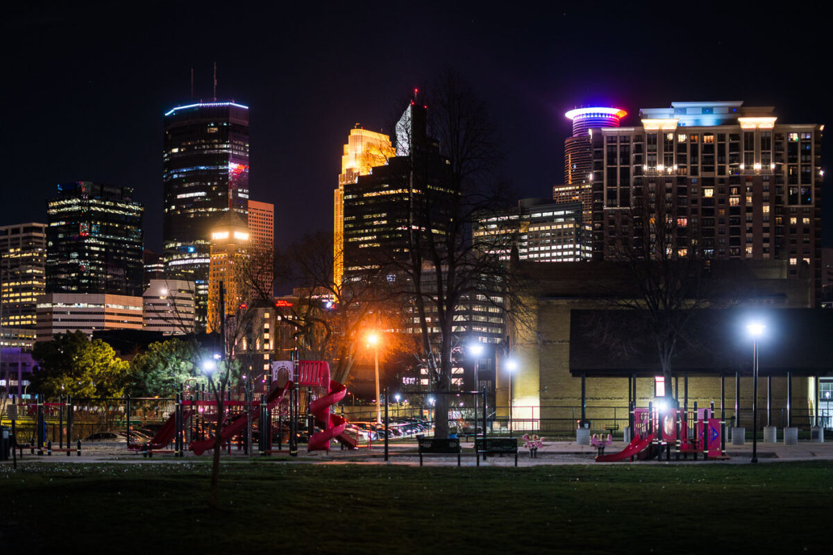
New RBC Gateway building in downtown Minneapolis from behind security fencing.

RBC Gateway Behind A Fence in Minneapolis

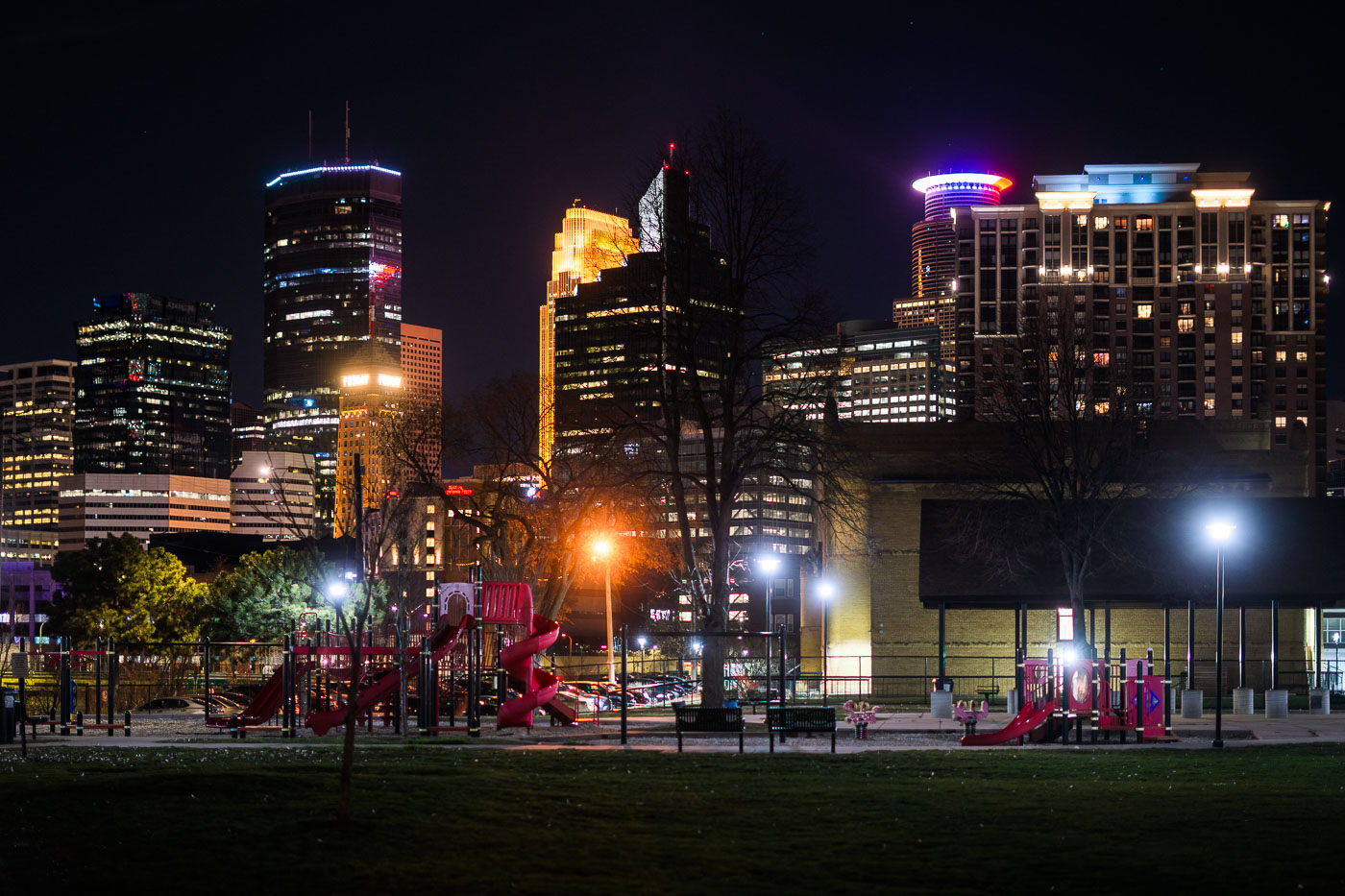
Franklin Steele Square park in Minneapolis
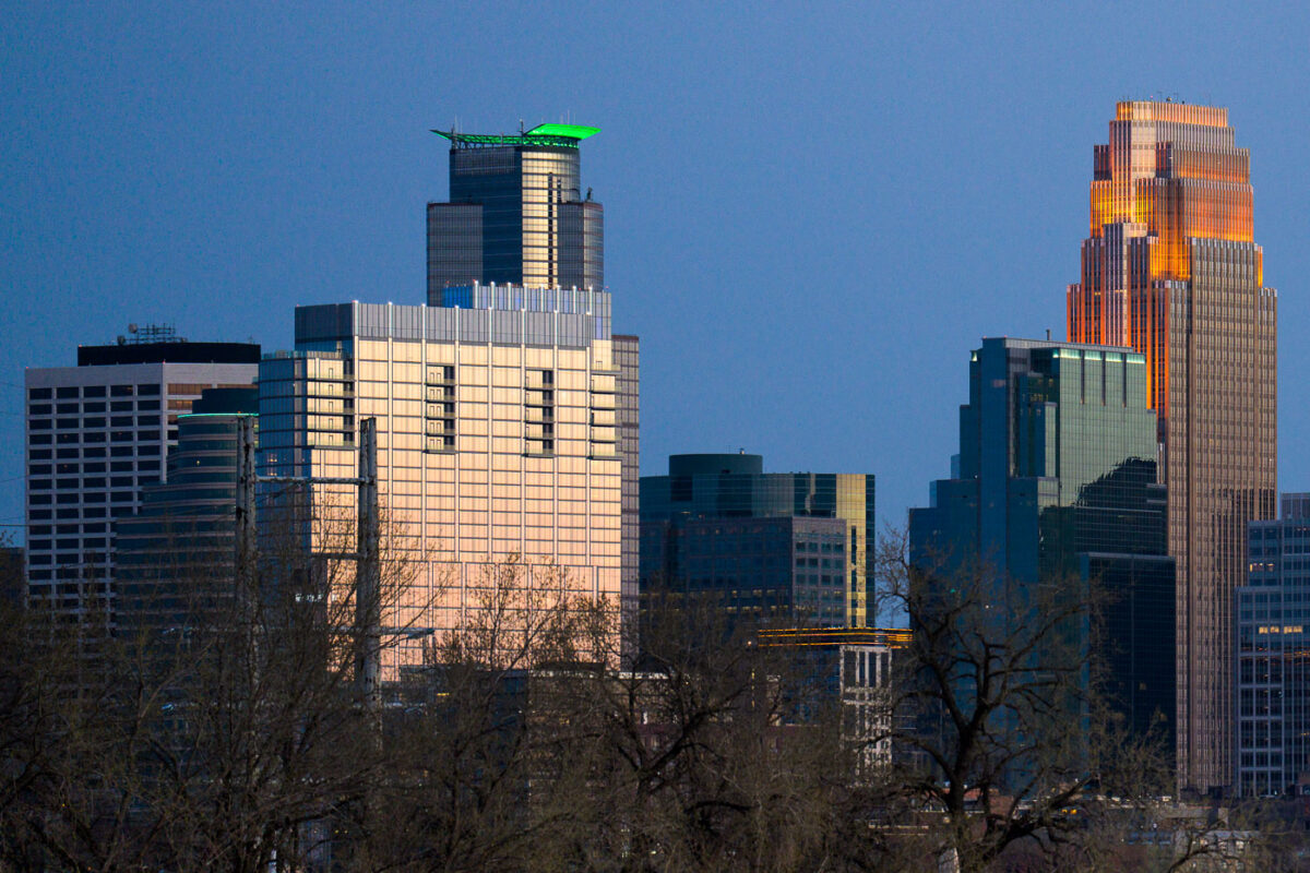
Downtown Minneapolis as seen from Franklin Steele Square park in South Minneapolis.

Franklin Steele Square park in Minneapolis

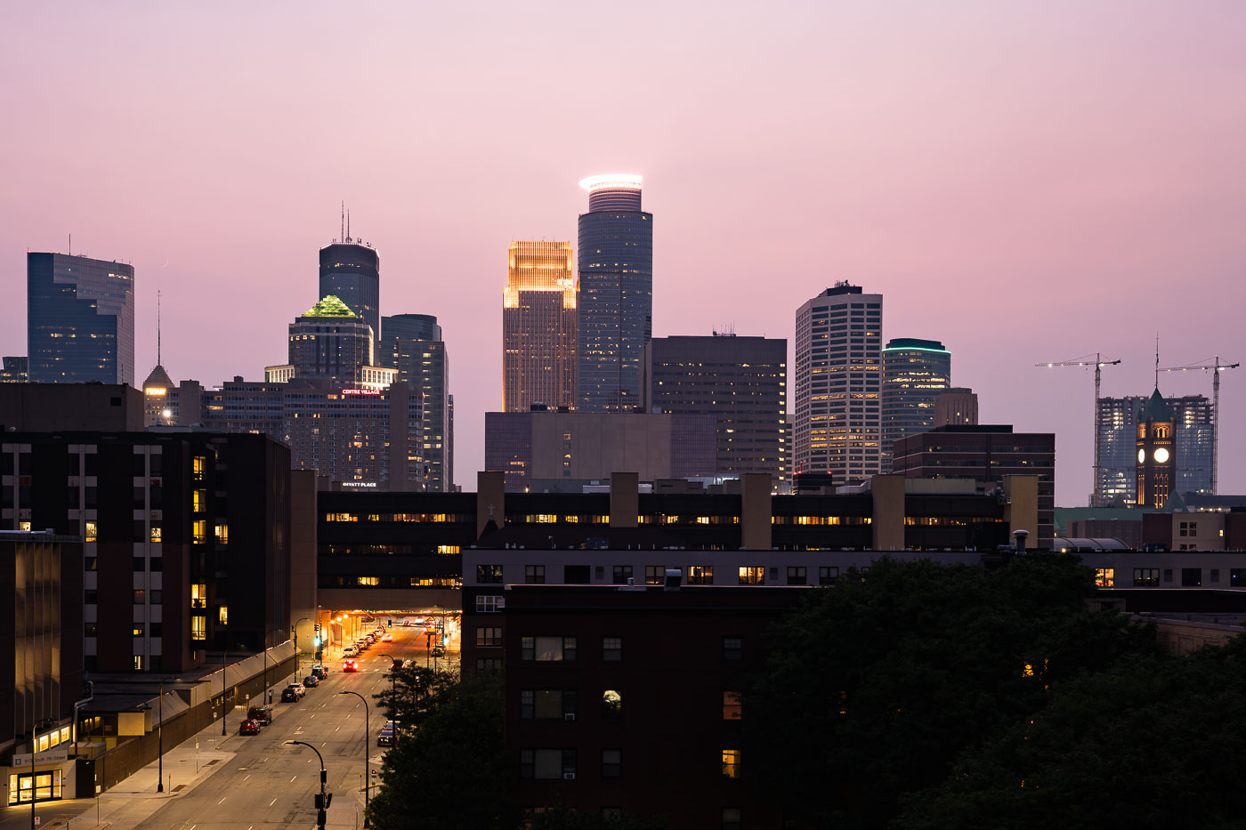
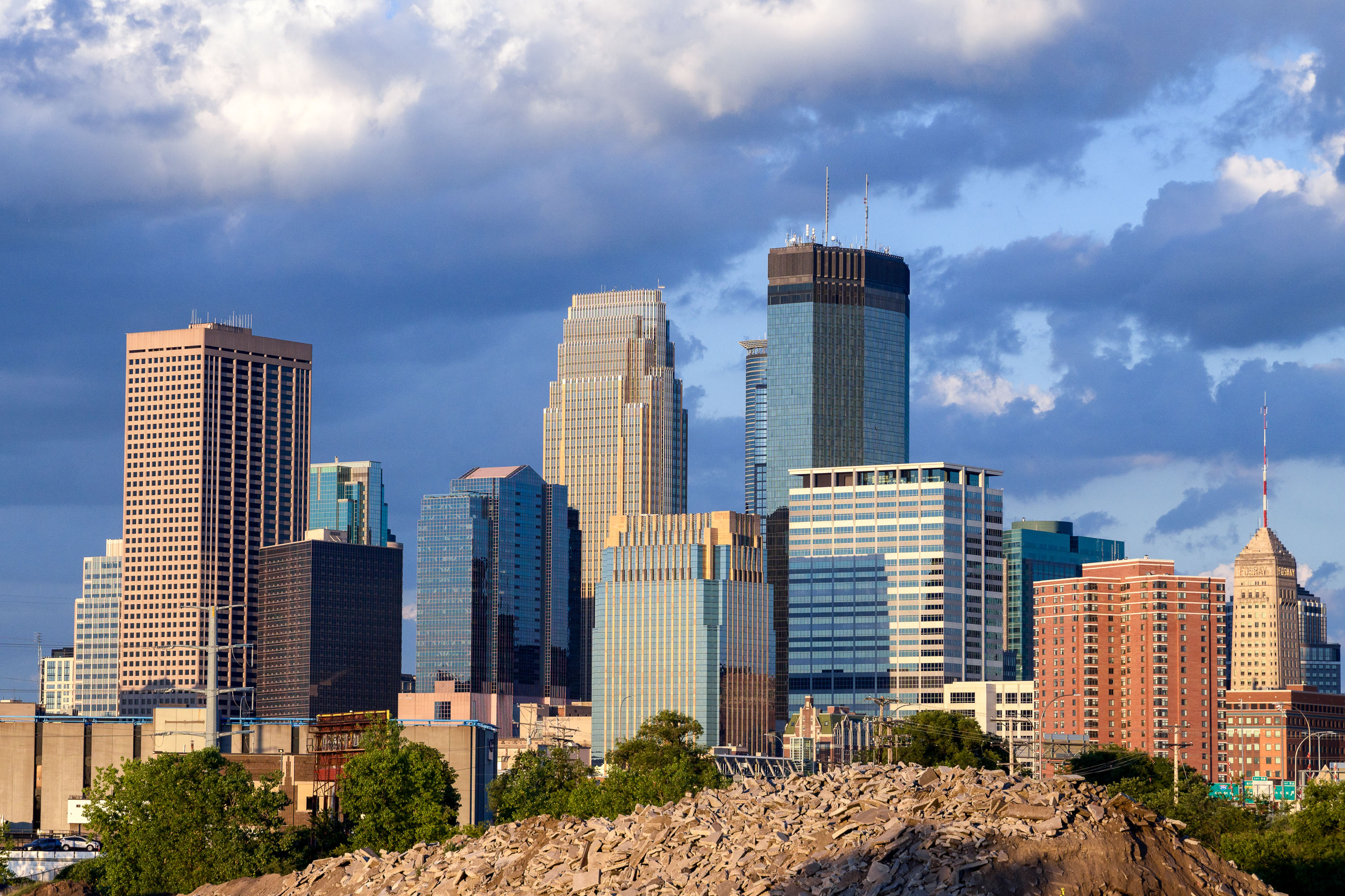
Minneapolis Skyline May 2022
The Minneapolis skyline is illuminated by the setting sun in May 2022. These buildings, along with others, form the central business district of Minneapolis, serving as hubs for commerce and corporate activity in the region.

Minneapolis Downtown Skyscrapers at Dusk, May 2022
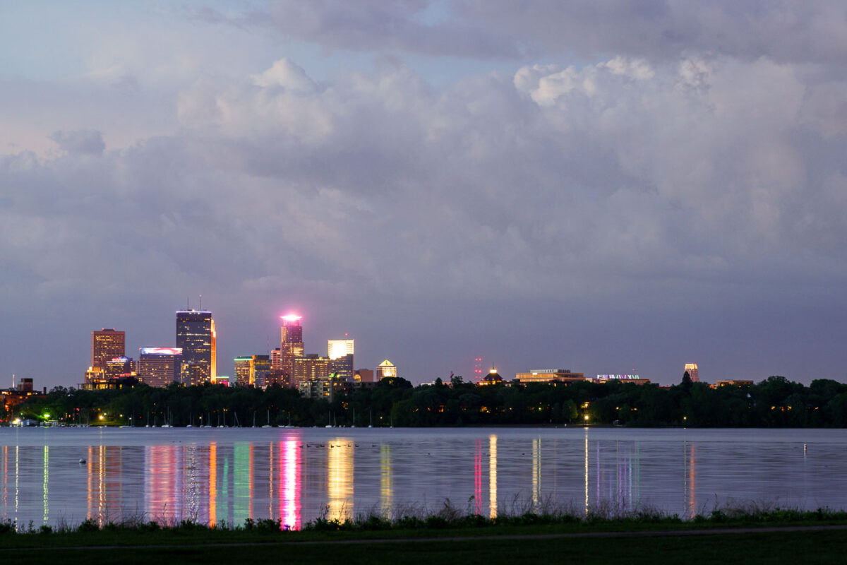
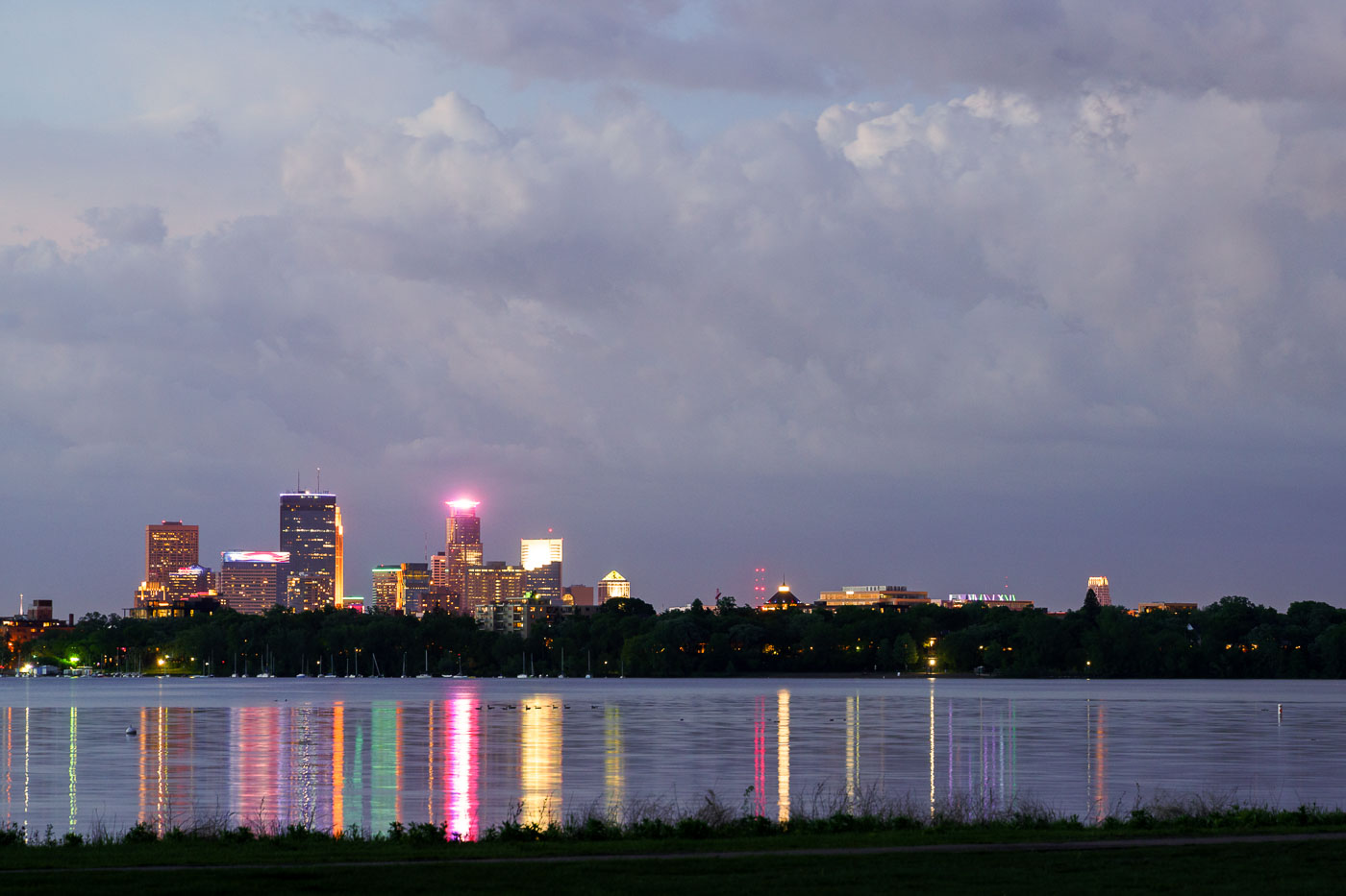
Minneapolis skyline illuminated at dusk across Bde Maka Ska lake.
The Minneapolis skyline is visible across Bde Maka Ska, a prominent lake in the city's chain of lakes. The lake, originally named Lake Calhoun, was renamed Bde Maka Ska in 2018 to honor its Dakota heritage.

Storm Clouds Over the Minneapolis Skyline from Bde Maka Ska
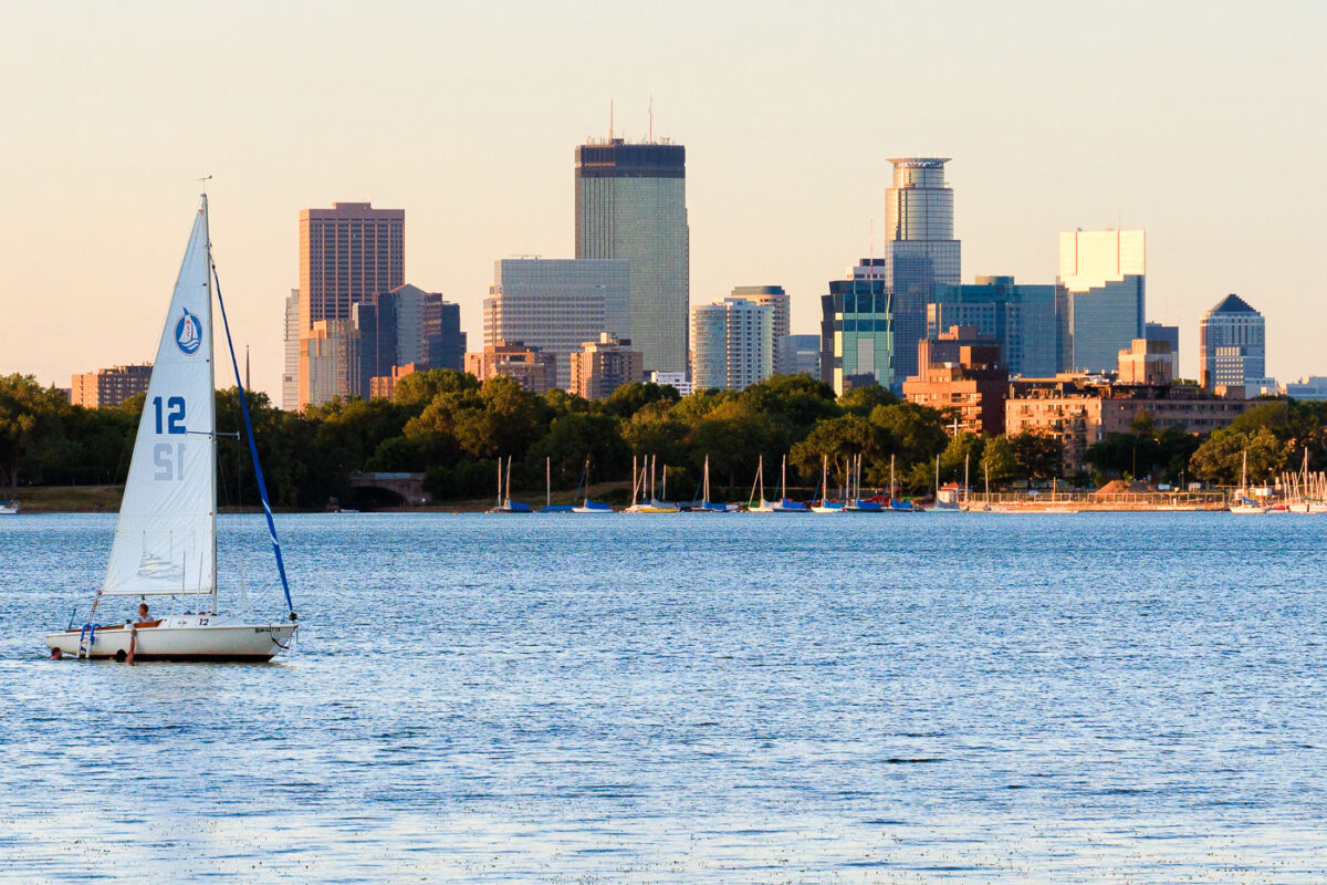
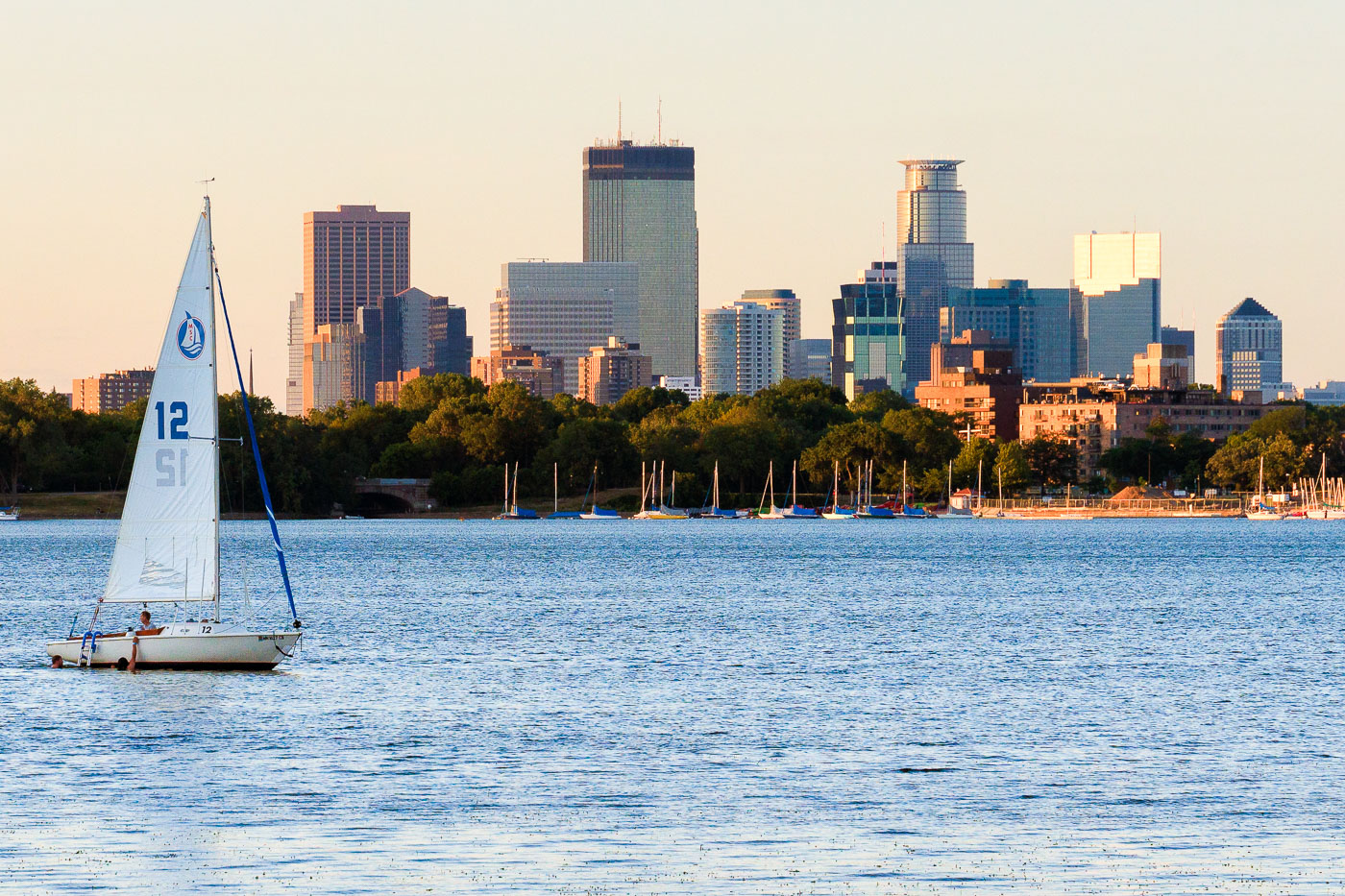
Sailboat with white sail numbered 12 on Bde Maka Ska lake with Minneapolis skyline beyond.
A sailboat is on Bde Maka Ska in Minneapolis with the downtown skyline in the background.

Sailboat on Bde Maka Ska Beneath the Minneapolis Skyline
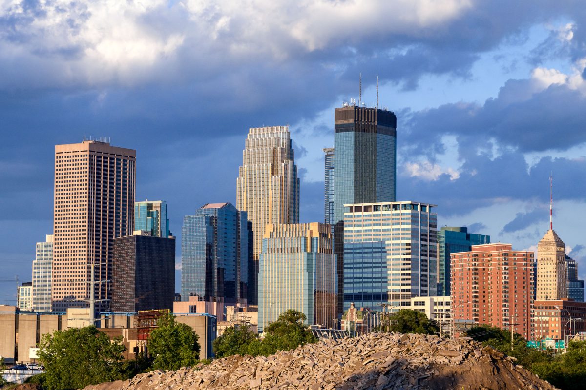
Minneapolis downtown skyline viewed from Van White Memorial Boulevard, showing the IDS Center and surrounding high-rise towers.
The view of Downtown Minneapolis from Van White Memorial Blvd near the Cedar Lake Trail.

Minneapolis Skyline As Seen Near Cedar Lake Trail
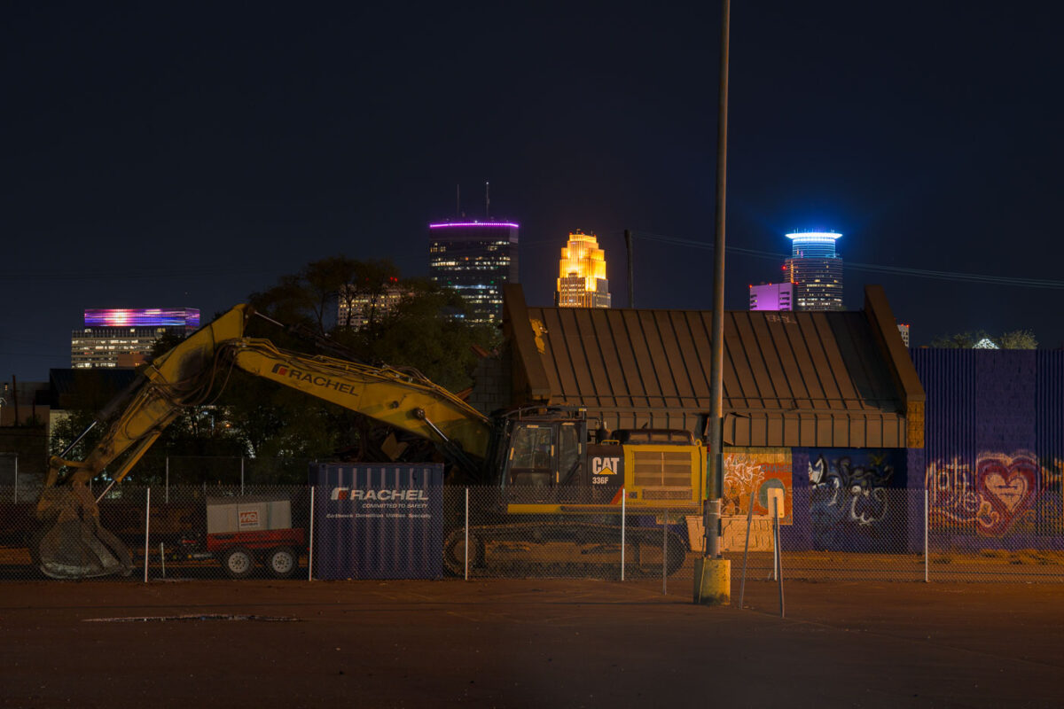
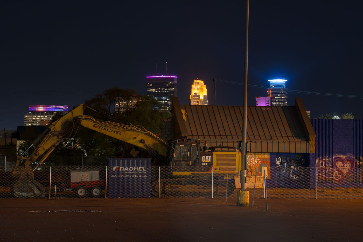
Supervalu Demolition on Lake Street
Demolition equipment is on-site at the former Supervalu store on Lake Street in South Minneapolis.

Minneapolis Supervalu Demolition at Night

Mississippi River in front of Downtown Minneapolis Skyline
The Minneapolis Lock and Dam on the Mississippi River is obscured by haze from Canadian wildfire smoke, impacting air quality in the downtown area. Constructed in the early 20th century, the lock and dam system was designed to improve navigation on the river, facilitating the transport of goods and materials. Today, it continues to play a role in managing water levels and supporting barge traffic, though its visual presence is altered by atmospheric conditions. The Stone Arch Bridge, a historic landmark, is visible in the background, further contextualizing the industrial and infrastructural history of Minneapolis.

Minneapolis Lock and Dam Under Canadian Wildfire Smoke
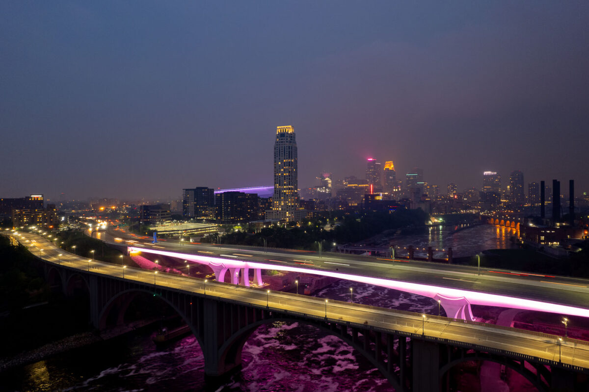
2 bridges over the Mississippi River and city skyline
The I-35W Bridge and the 10th Avenue Bridge cross the Mississippi River in Minneapolis, Minnesota, under a sky obscured by smoke from Canadian wildfires. This atmospheric condition, which led to air quality advisories, significantly reduced visibility across the city. The I-35W Bridge serves as a major north-south transportation route, while the 10th Avenue Bridge, with its distinctive arches, is a notable element of the city's infrastructure.

Minneapolis I-35W Bridge in Wildfire Smoke
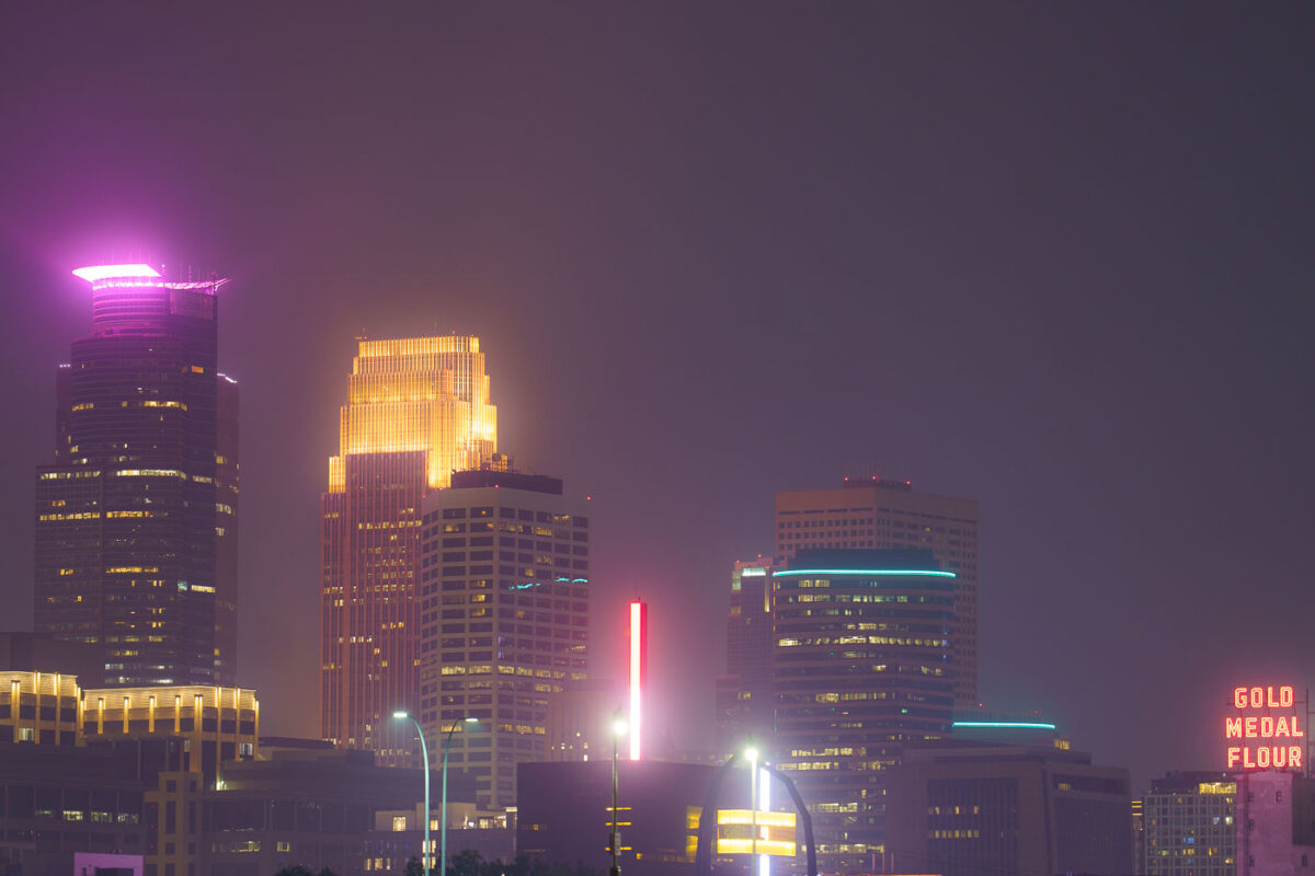
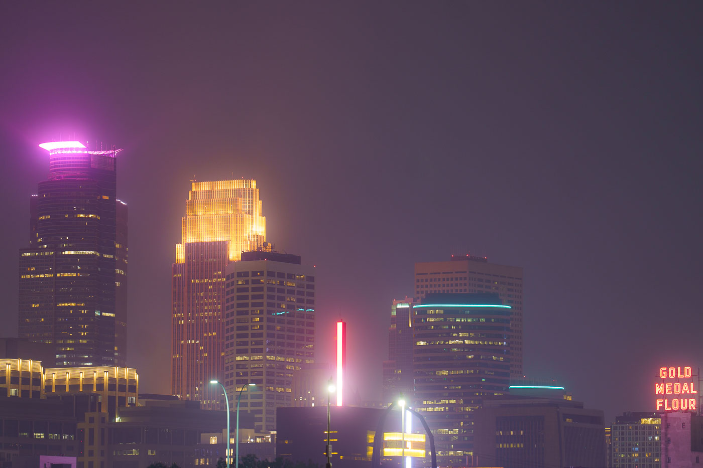
Night photo of Minneapolis skyline during air quality alerts
The Minneapolis city skyline is obscured by haze from Canadian wildfires, impacting air quality across the region. The "Gold Medal Flour" sign, a historic landmark dating back to the early 20th century, is visible through the atmospheric conditions. This event highlights the increasing frequency of such air quality alerts due to climate change and widespread wildfires. The city's downtown core, with its mix of modern skyscrapers and older structures, serves as the economic and cultural hub of Minnesota.

Minneapolis Skyline Under Wildfire Smoke Haze
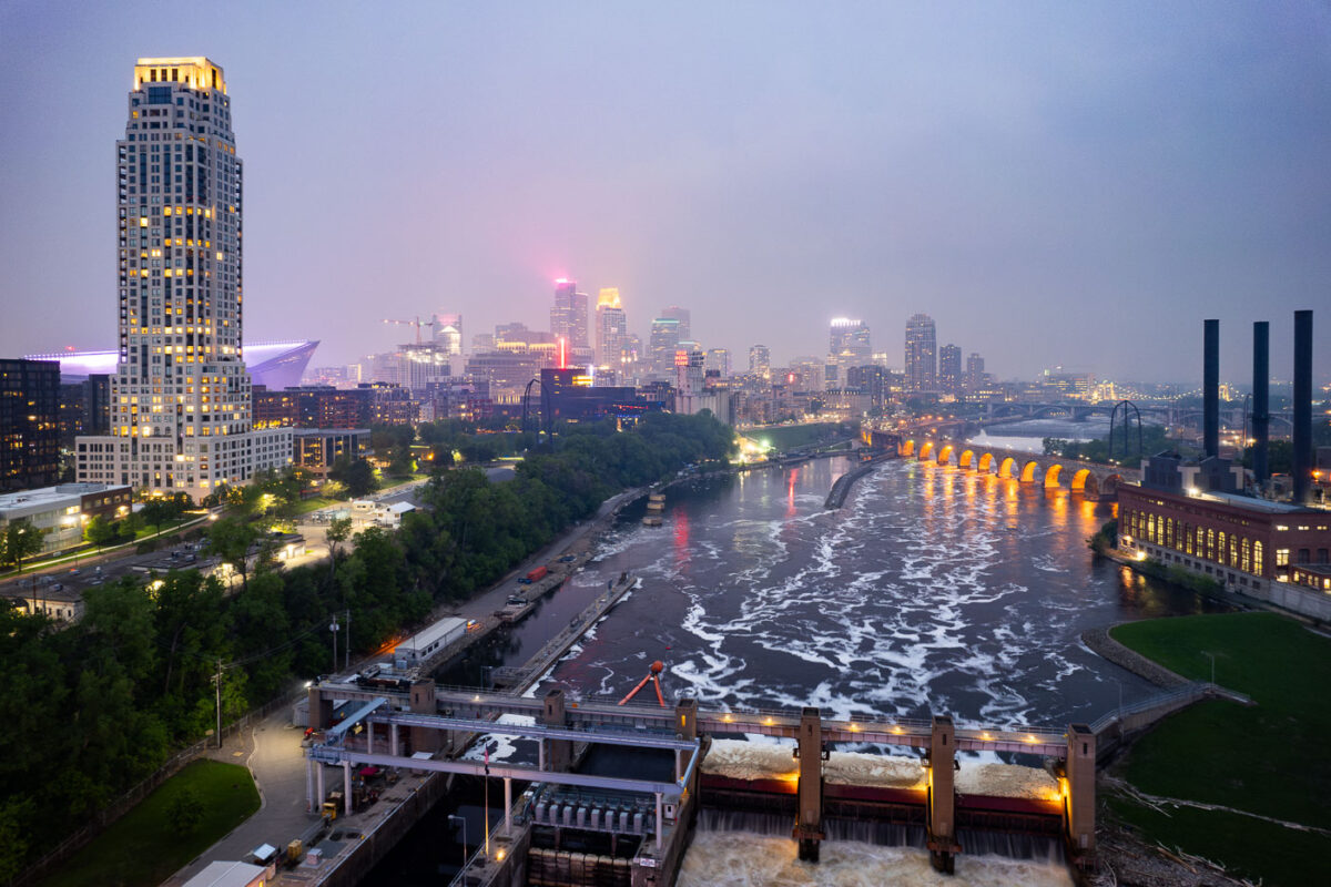
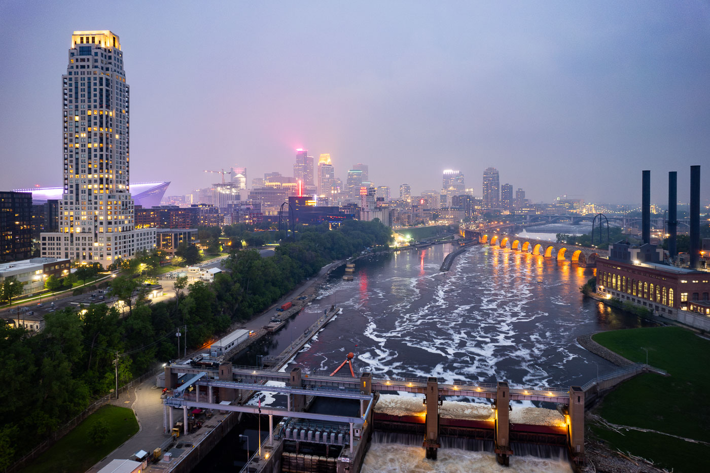
Night photo of river and city skyline with a haze in Minneapolis
The Minneapolis skyline is veiled by smoke from Canadian wildfires, impacting regional air quality. The Mississippi River flows past the historic Stone Arch Bridge, a former railway bridge completed in 1883, now a pedestrian walkway. Adjacent to the bridge is the Upper St. Anthony Falls Lock and Dam, a 20th-century engineering project that regulates the river's flow and supports navigation, a function critical to Minneapolis since its establishment.

Minneapolis Skyline and Mississippi River in Wildfire Smoke
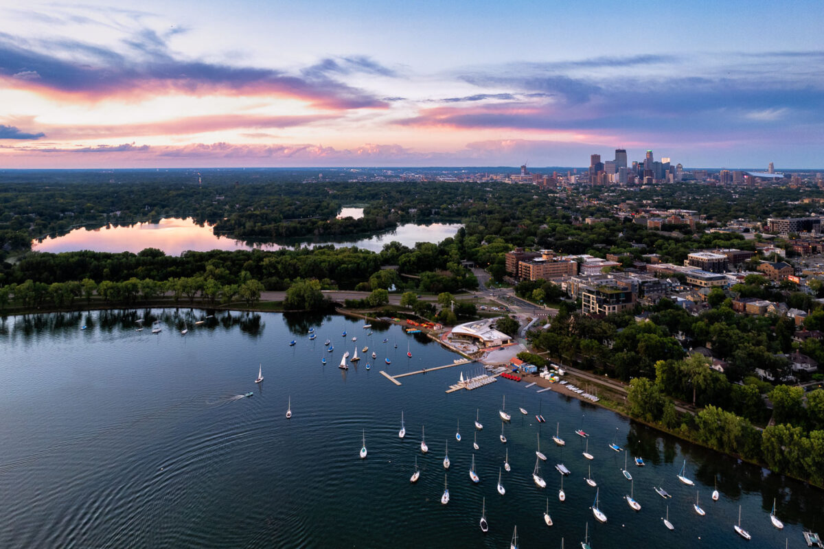
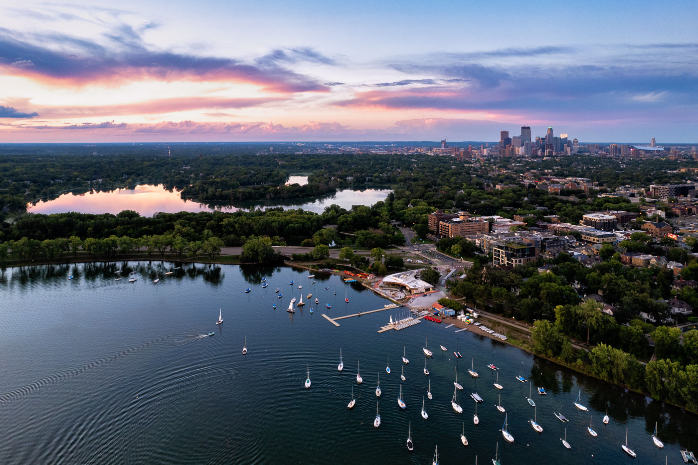
Sailboats on lake with city skyline
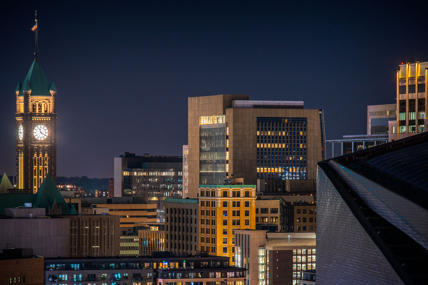
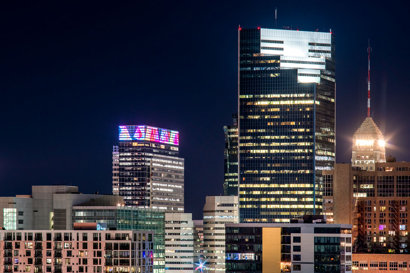
Sailboats on Bde Maka Ska in Minneapolis during sunset. Lake of the Isles seen in the distance.

Sailboats and a colorful sunset
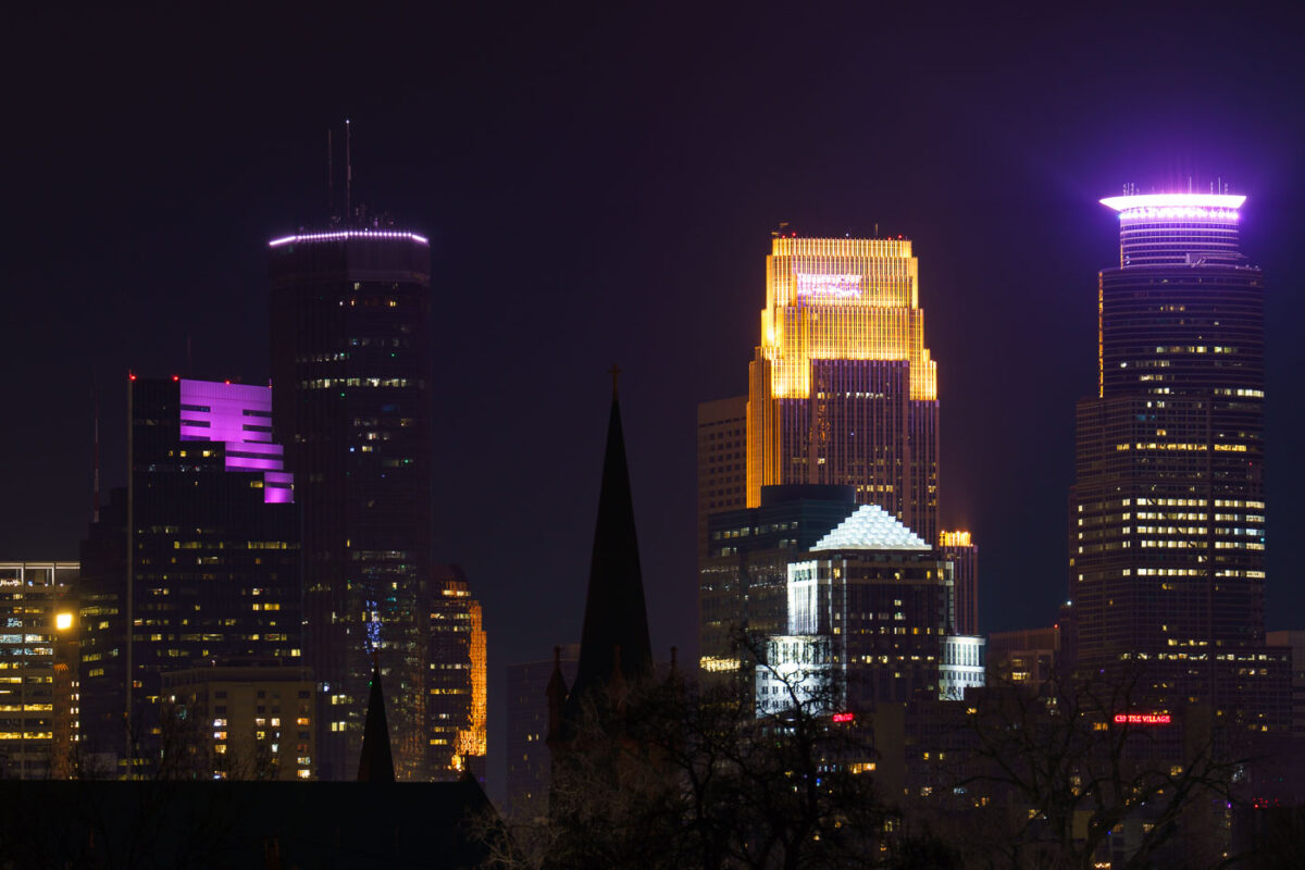
Minneapolis Skyscraper seen from South
The downtown Minneapolis skyline, featuring prominent structures such as the IDS Center and Capella Tower, is illuminated at night, as viewed from the Martin Olav Sabo Bridge in February 2024. Completed in 1972, the IDS Center was the tallest building in Minneapolis for decades, serving as a key commercial hub. The Capella Tower, finished in 1992, further defines the city's financial district. The Martin Olav Sabo Bridge, opened in 2007, is a pedestrian and bicycle bridge that forms a crucial link in the Midtown Greenway, an important urban trail system.

Minneapolis Skyline at Night from Martin Olav Sabo Bridge
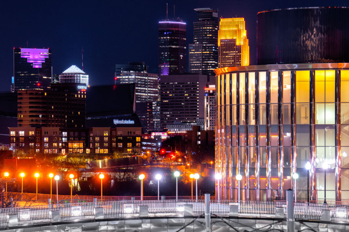
Bruininks Hall in Minneapolis at night
Bruininks Hall at the University of Minnesota in Minneapolis is prominently featured against the city's night skyline. Completed in 2014, this academic building serves as a central hub for student services and classrooms on the East Bank campus, near the Dinkytown neighborhood.

Bruininks Hall, Minneapolis Skyline at Night

Built in Minneapolis

Minneapolis Photographer

Browse by location, move through long-running series, or start with recent work.