State Park

22 photos · 2015–2026

22 photographs tagged State Park, 2015–2026.
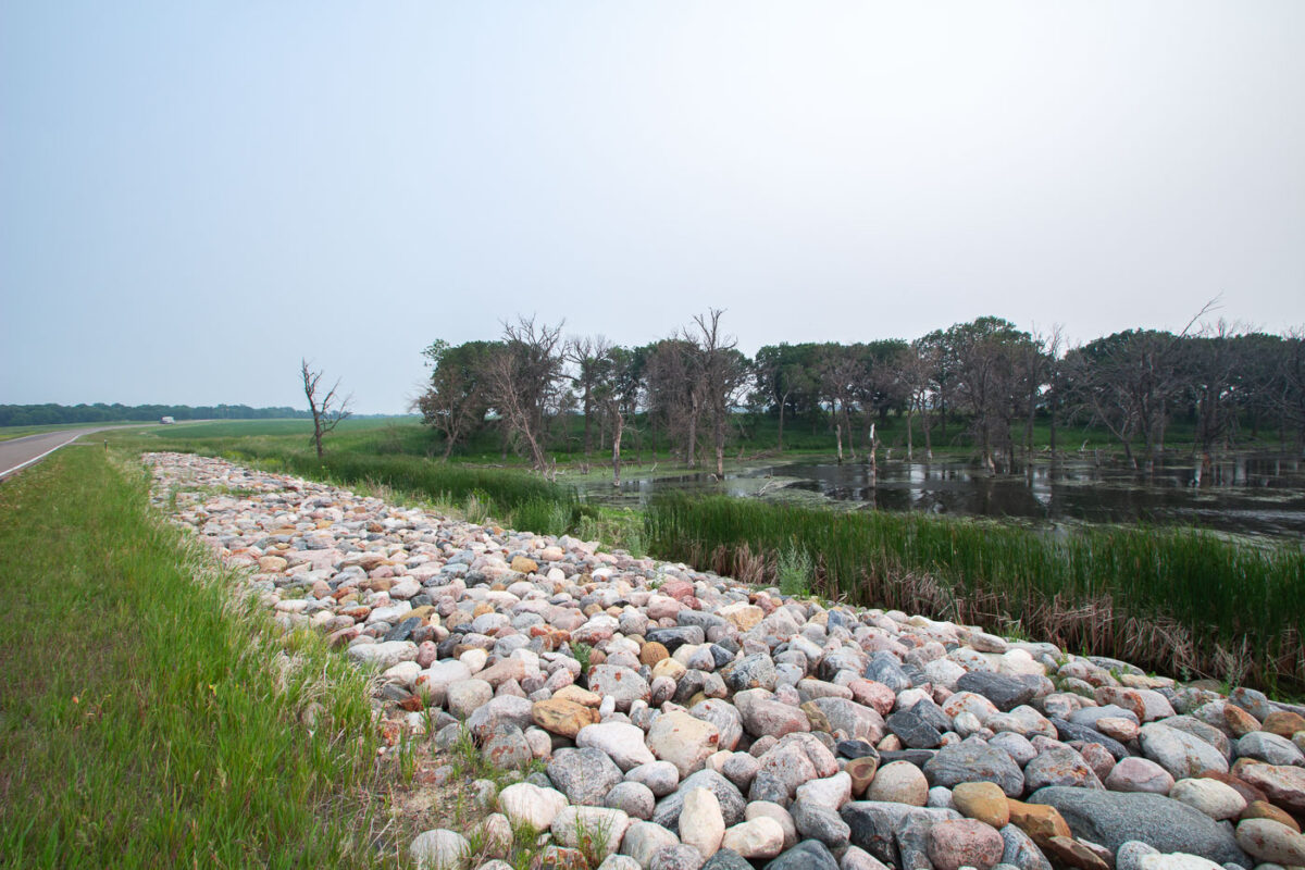
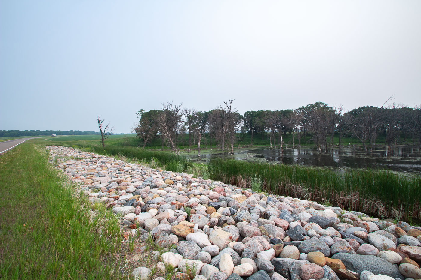
Stone riprap reinforces the shoreline of Devils Lake State Park in North Dakota, adjacent to wetland habitat.
Devils Lake has no natural outlet, so its water levels rise and fall based on precipitation and runoff rather than draining to a river system. Over the past three decades the lake has expanded dramatically, flooding farmland, roads, and stands of trees that once stood on dry ground — visible here as the bare, dead trunks standing in standing water. Riprap like this is placed along roadbeds and embankments around the lake to slow erosion from wave action as the shoreline continues to shift. Devils Lake State Park sits along the lake's edge in Ramsey County and includes wetland habitat used by migratory waterfowl.

Riprap Embankment Along Devils Lake, North Dakota
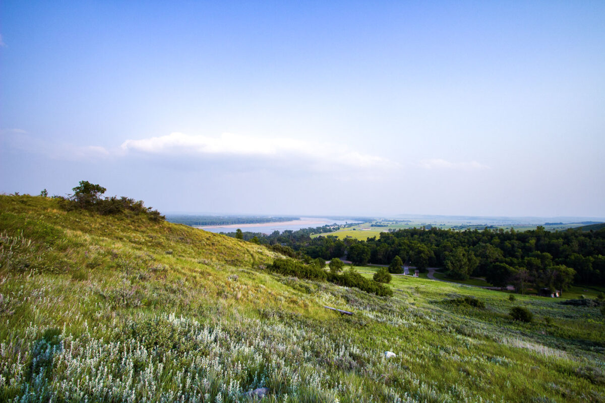
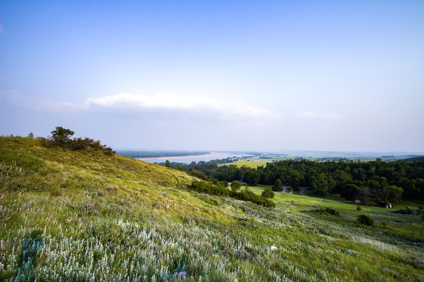
Hillside with wildflowers overlooks Missouri River valley near Fort Abraham Lincoln State Park, North Dakota.
Fort Abraham Lincoln State Park sits along the Missouri River just south of Mandan, North Dakota, on bluffs overlooking the river's confluence with the Heart River. The park occupies the site of a military post established in 1872, built to protect railroad survey crews and later home to Lieutenant Colonel George Custer and the 7th Cavalry before their departure for the Little Bighorn campaign in 1876. The grounds also preserve the remains of On-A-Slant Village, a Mandan earthlodge settlement occupied from roughly 1575 to 1781. North Dakota's state park system has maintained the site since the 1930s, when the Civilian Conservation Corps reconstructed several of the fort's original buildings.

Missouri River Valley from the Bluffs at Fort Abraham Lincoln State Park
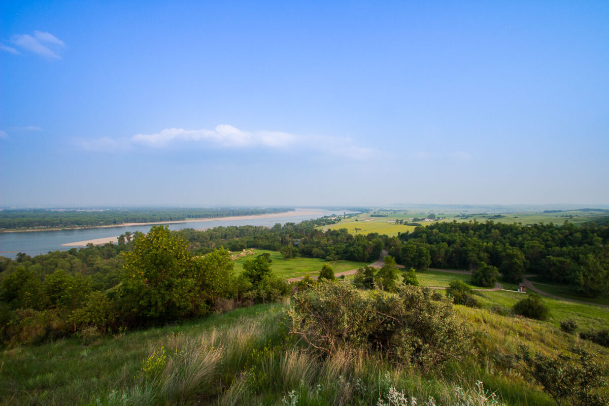
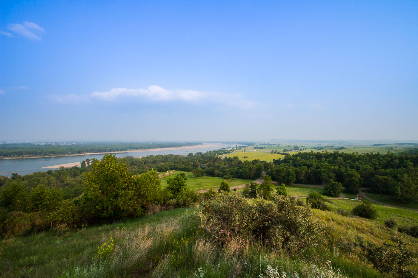
Fort Abraham Lincoln State Park overlook above the Missouri River valley in North Dakota.
Fort Abraham Lincoln State Park sits along the Missouri River south of Mandan, North Dakota, preserving the grounds of a military post established in 1872. The fort served as headquarters for the 7th Cavalry under Lieutenant Colonel George Armstrong Custer before his final campaign in 1876. The park also contains reconstructed earthlodges from On-A-Slant Village, a Mandan settlement occupied from roughly 1575 to 1781. North Dakota's state parks system acquired the site in 1907, making it one of the state's oldest parks. The Missouri River below has long marked a key route for trade and travel across the northern Plains.

Missouri River Valley From Fort Abraham Lincoln State Park
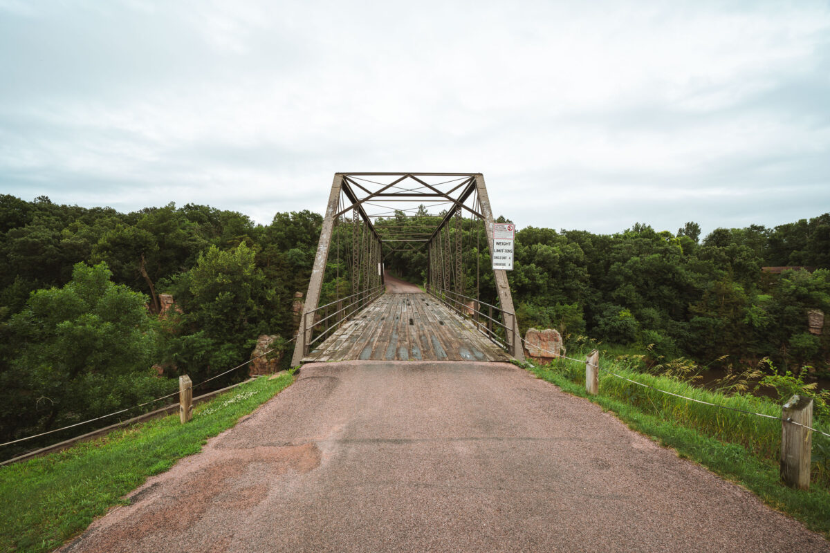
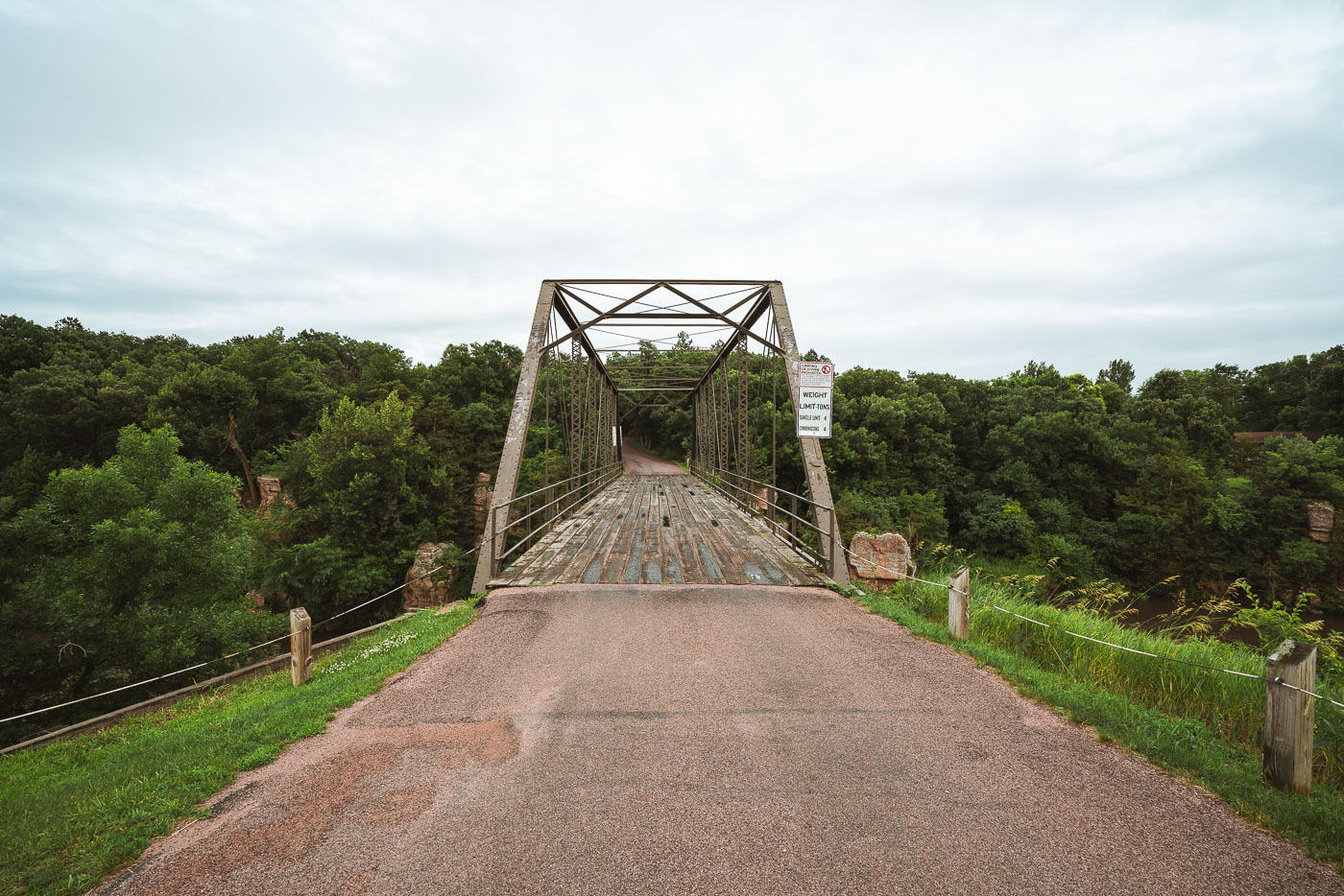
Garretson Truss Bridge spans Split Rock Creek in Palisades State Park, South Dakota.
The Garretson Truss Bridge spans Split Rock Creek in Palisades State Park, South Dakota. The Pratt through truss bridge was built in the early 20th century and retains its riveted steel frame and wooden deck. It is part of a preserved crossing associated with the park's historic creek corridor.

Garretson Truss Bridge over Split Rock Creek

Banning State Park trail in Sandstone, Minnesota, winding through dense green forest.
Banning State Park in Sandstone, Minnesota, includes hiking trails through forested areas along the Kettle River. The park is known for its sandstone cliffs, rapids, and remnants of the former Banning settlement.

Trail in Banning State Park, Sandstone, Minnesota
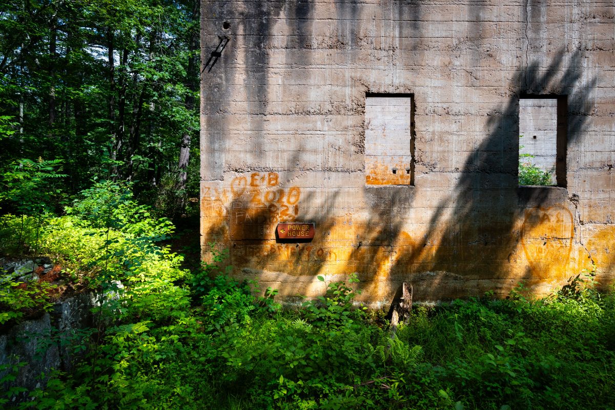
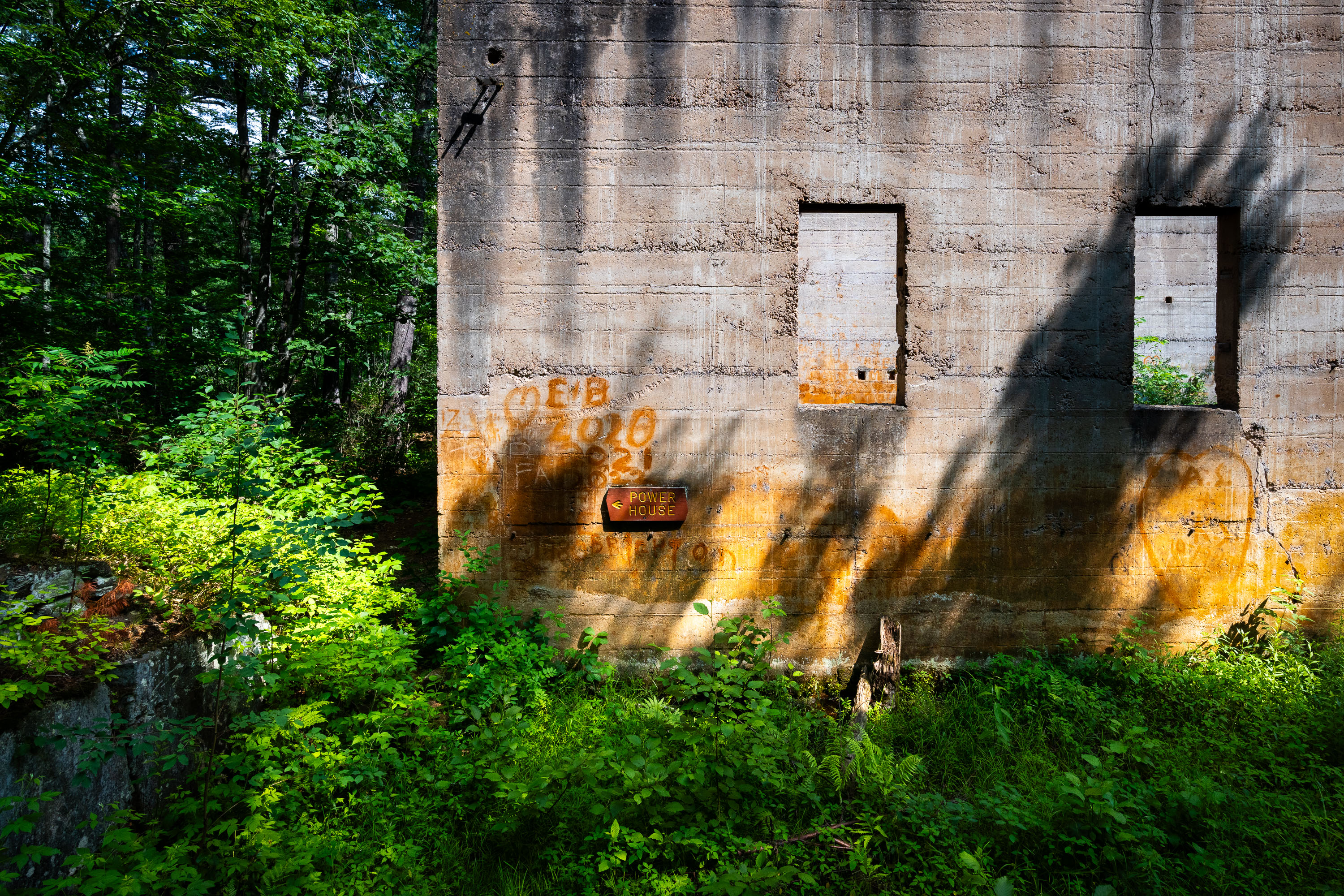
Abandoned power house with yellow graffiti and boarded windows at Banning State Park, Sandstone, Minnesota.
The Power House ruins at Banning State Park mark the remains of a sandstone quarrying operation that ran from 1892 until 1912. Workers here cut and shipped Banning sandstone by rail before the industry declined and the town of Banning was abandoned. The state acquired the land in 1963, and today the roofless concrete walls stand along the Kettle River within the park's designated quarry loop trail. A weathered sign still marking "Power House" identifies the structure's original function of supplying electricity to the quarry works.

Power House Ruins, Banning State Park, Sandstone, Minnesota
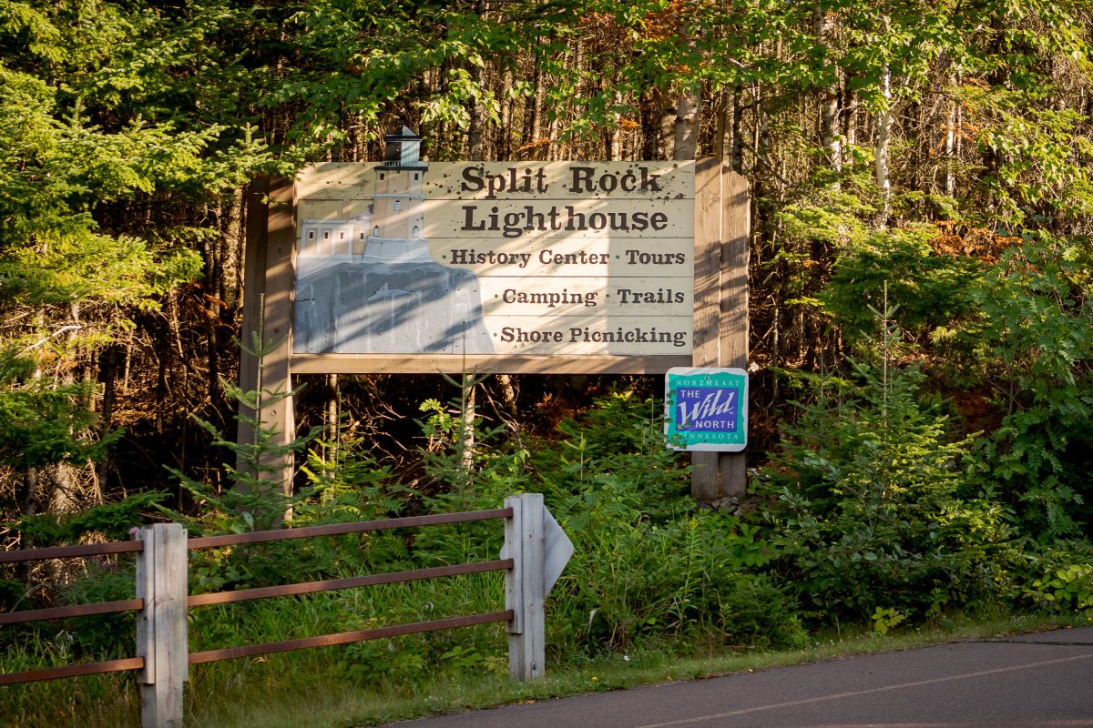
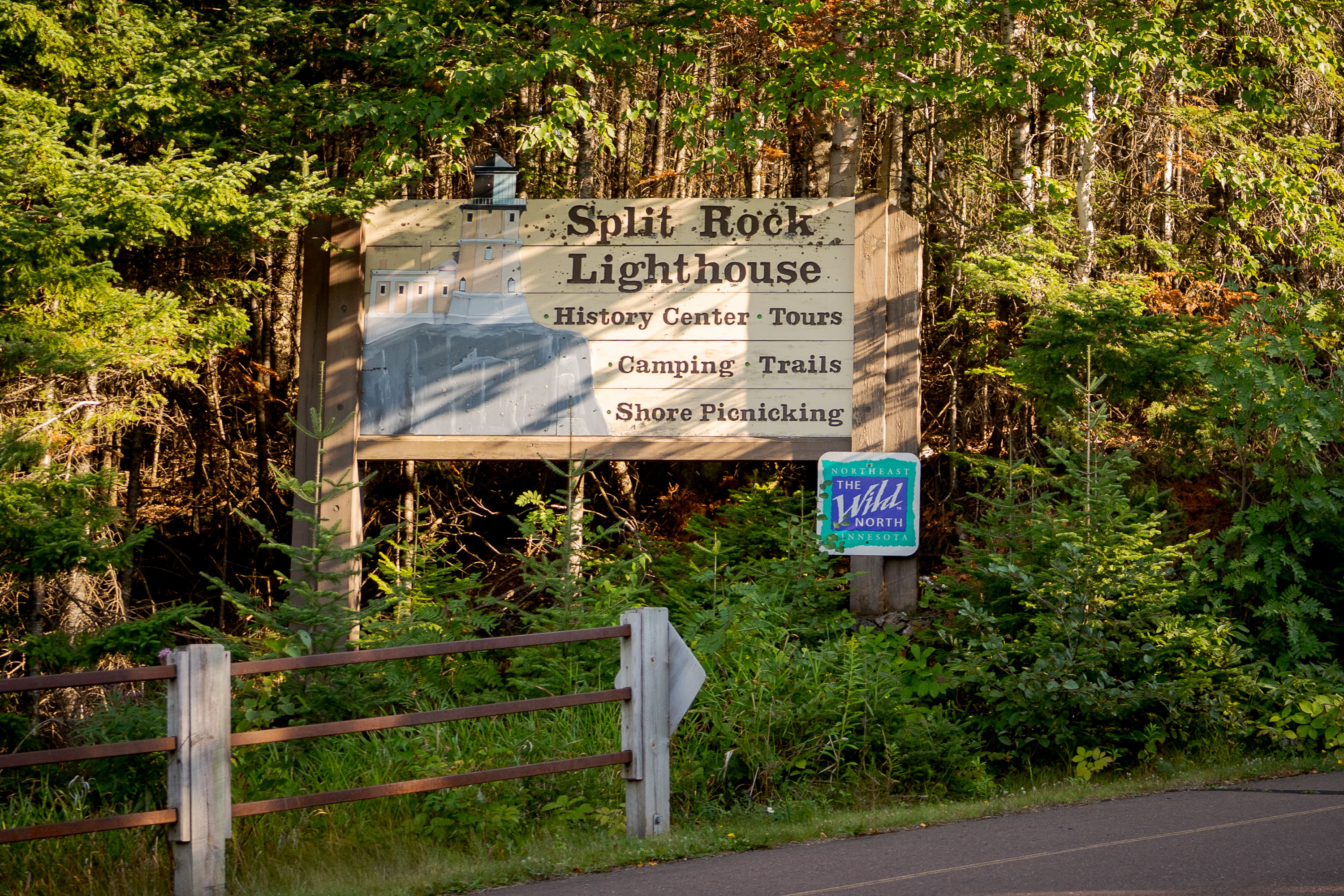
Split Rock Lighthouse Sign in Northern Minnesota
A sign for the Split Rock Lighthouse on the North Shore in Minnesota.

Split Rock Lighthouse Sign in Northern Minnesota
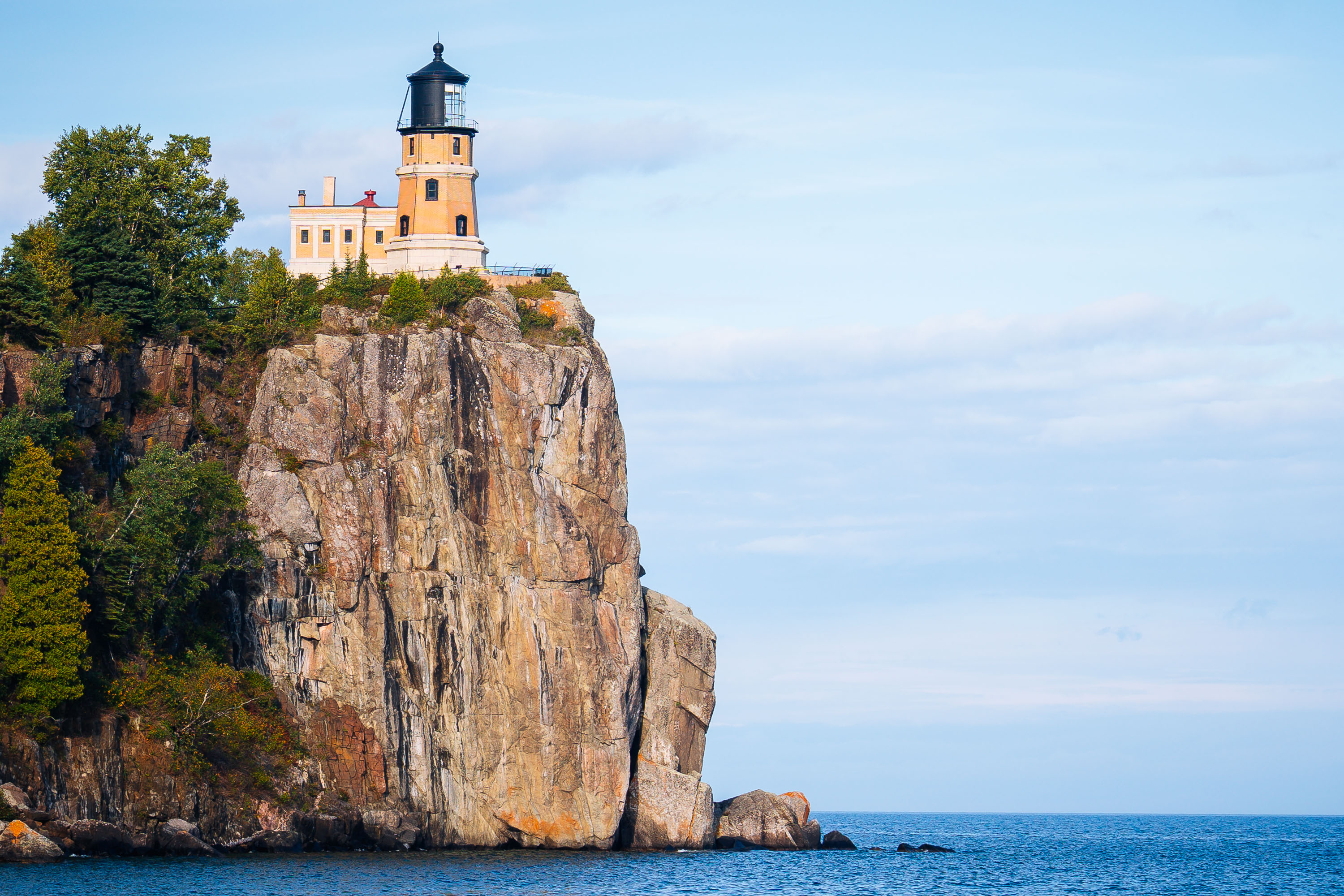
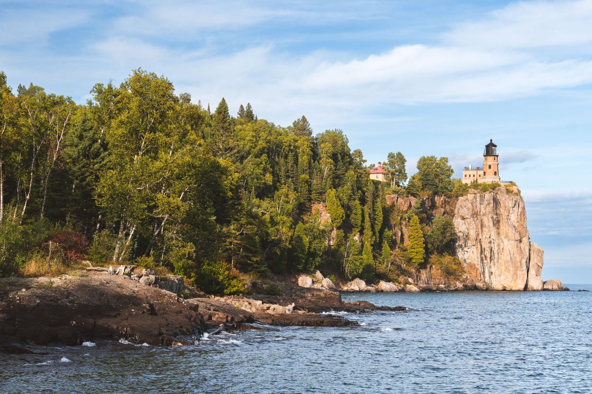
Split Rock Lighthouse stands on a cliff above Lake Superior near Two Harbors, Minnesota.
Split Rock Lighthouse stands atop a 130-foot cliff within Split Rock Lighthouse State Park near Two Harbors, Minnesota. The U.S. Lighthouse Service built it in 1910 after a series of shipwrecks, including the 1905 loss of the Mataafa, revealed the danger this stretch of the North Shore posed to Great Lakes shipping. Its beam once reached 22 miles across Lake Superior, guiding freighters carrying iron ore from the Mesabi Range. The Coast Guard decommissioned the light in 1969, the same year it was added to the National Register of Historic Places. The Minnesota Historical Society now manages the site as a museum and historic landmark.

Split Rock Lighthouse Above a Forested Shoreline on Lake Superior
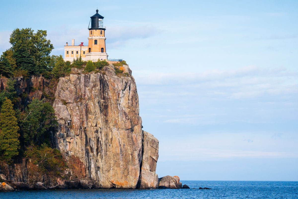
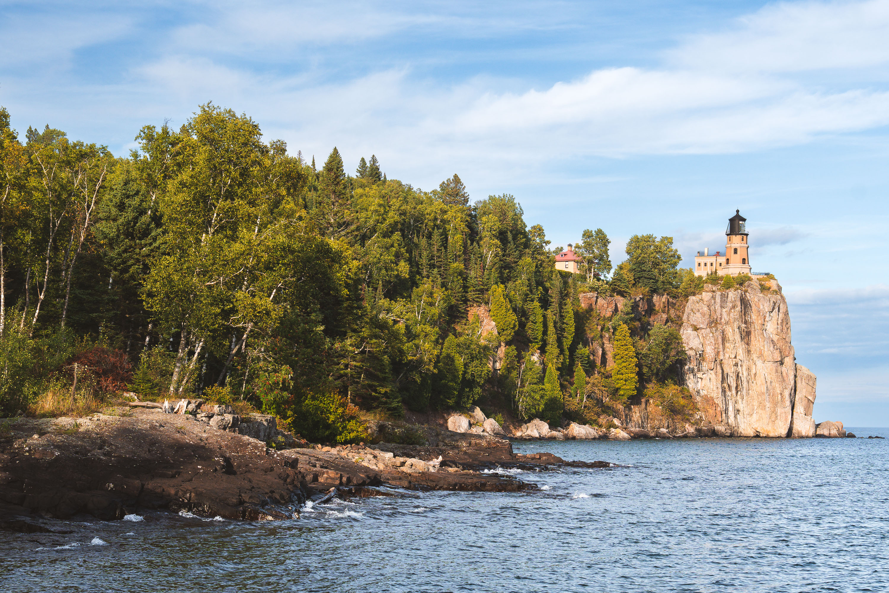
Split Rock Lighthouse perches atop a rocky cliff above Lake Superior near Two Harbors, Minnesota.
Split Rock Lighthouse sits atop a 130-foot cliff overlooking Lake Superior near Two Harbors, Minnesota. The Minnesota Historical Society, which operates the site as Split Rock Lighthouse State Park, built the station in 1910 after a severe 1905 storm wrecked dozens of ships along the North Shore. The Duluth, South Shore and Atlantic Railroad supplied the remote outpost by boat, since no roads reached it until the 1920s. The U.S. Coast Guard deactivated the light in 1969, and the tower is now preserved as a historic site rather than an active aid to navigation.

Split Rock Lighthouse Perched on Its Cliff Above Lake Superior
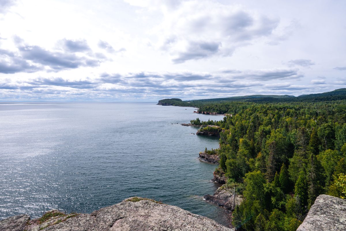
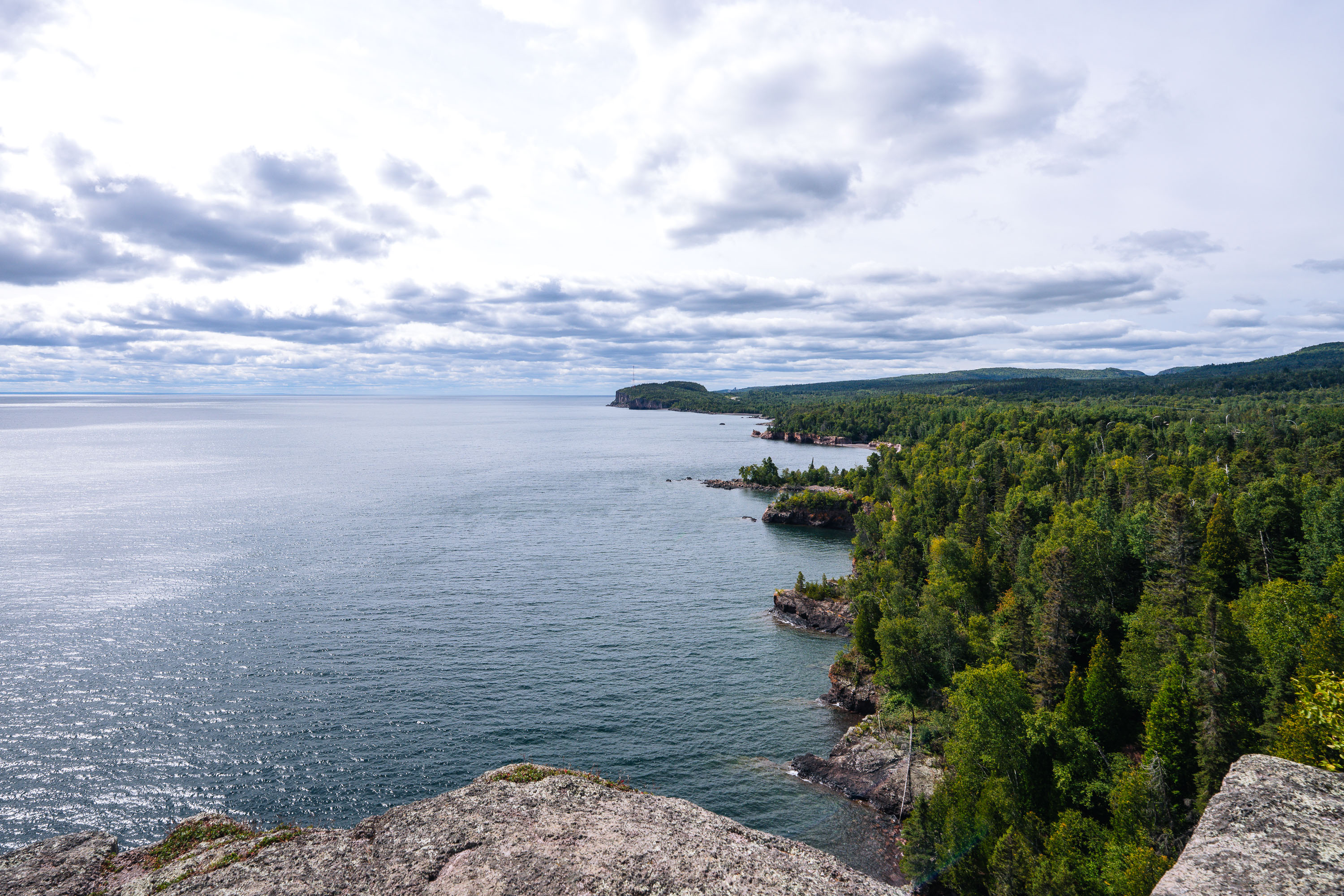
Rocky shoreline with boreal forest meets Lake Superior at Shovel Point in Tettegouche State Park, Minnesota.
Tettegouche State Park runs along more than six miles of Lake Superior shoreline near the mouth of the Baptism River in Minnesota's North Shore region. Its cliffs, formed from ancient volcanic rock, rank among the highest points on the state's Lake Superior coast. Established in 1979, the park covers roughly 9,600 acres of boreal forest, inland lakes, and shoreline. Shovel Point, a rhyolite headland reached by a mile-long trail, is one of the park's best-known overlooks, along with nearby Palisade Head.

Shovel Point Overlook at Tettegouche State Park
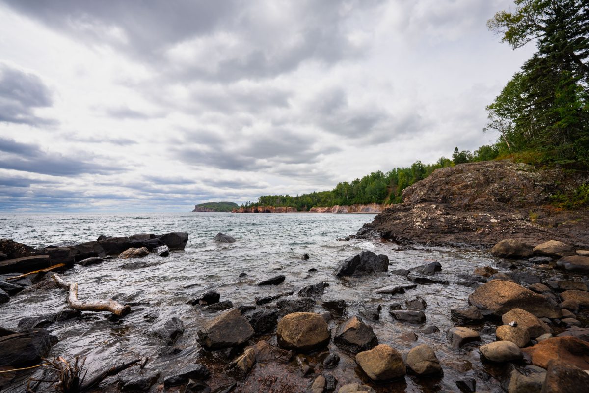
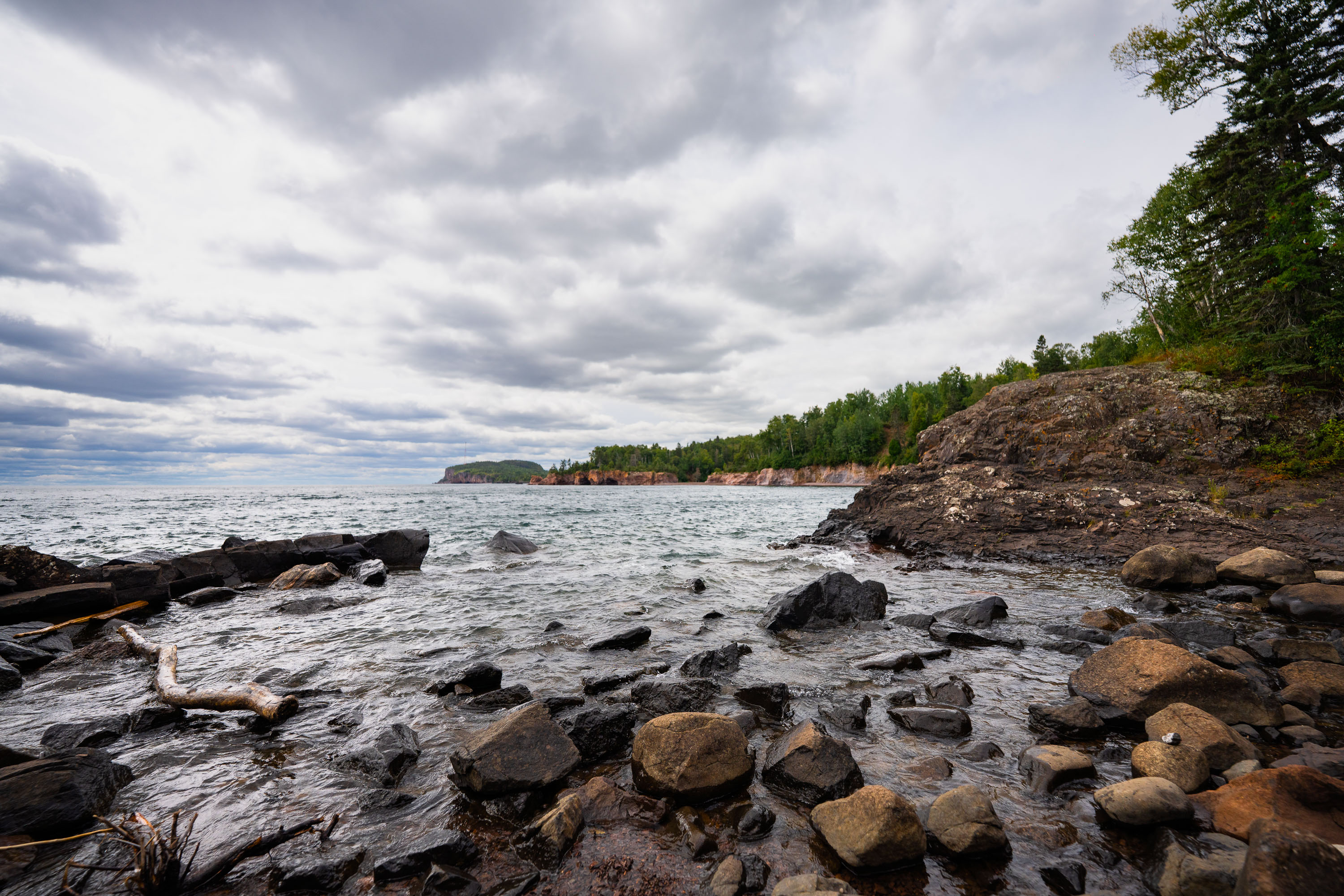
Rocky shoreline with ancient volcanic rocks at Tettegouche State Park on Lake Superior's North Shore, Minnesota.
Tettegouche State Park runs along nearly six miles of Lake Superior's North Shore in Minnesota. The dark rock along this stretch formed from volcanic activity roughly 1.1 billion years ago, part of the Midcontinent Rift that shaped much of the region's bedrock. Established in 1979, the park covers more than 9,000 acres and includes the Baptism River, which empties into Lake Superior nearby. It's also home to High Falls, the tallest waterfall located entirely within Minnesota's borders.

Volcanic Cliffs Along Tettegouche State Park’s Lake Superior Shore
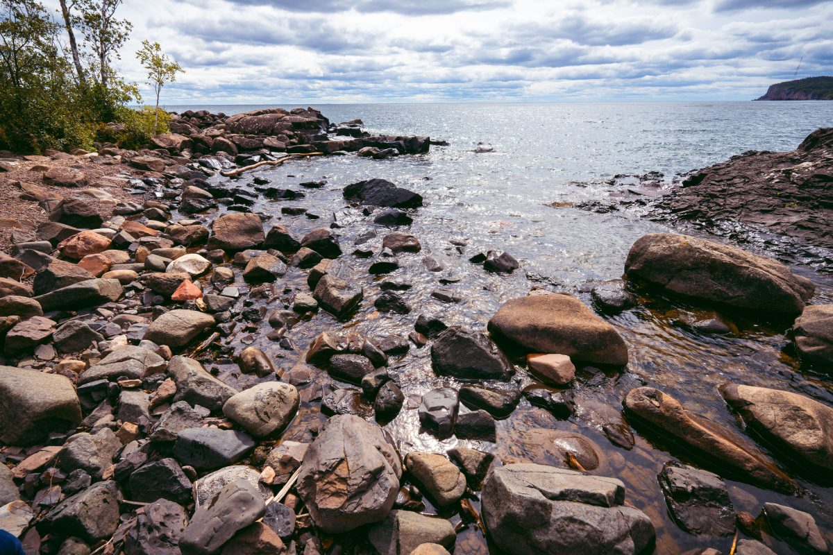
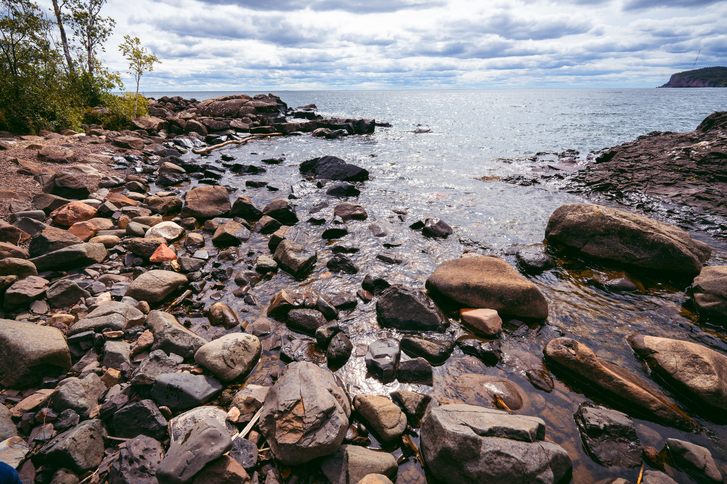
Rocky shoreline with ancient volcanic rocks at Tettegouche State Park on Lake Superior's North Shore.
Tettegouche State Park runs along nearly six miles of Lake Superior's North Shore in Minnesota, covering more than 9,000 acres of boreal forest, inland lakes, and volcanic rock cliffs. The rocky shoreline is made up of rhyolite and basalt formations dating back over a billion years to the Midcontinent Rift, when lava flows shaped much of the region's bedrock. Lake Superior holds roughly 3 quadrillion gallons of water, making it the largest freshwater lake in the world by surface area. The park was established in 1979 on land once used for logging operations and a private fishing retreat.

Boulders Along the Shoreline at Tettegouche State Park
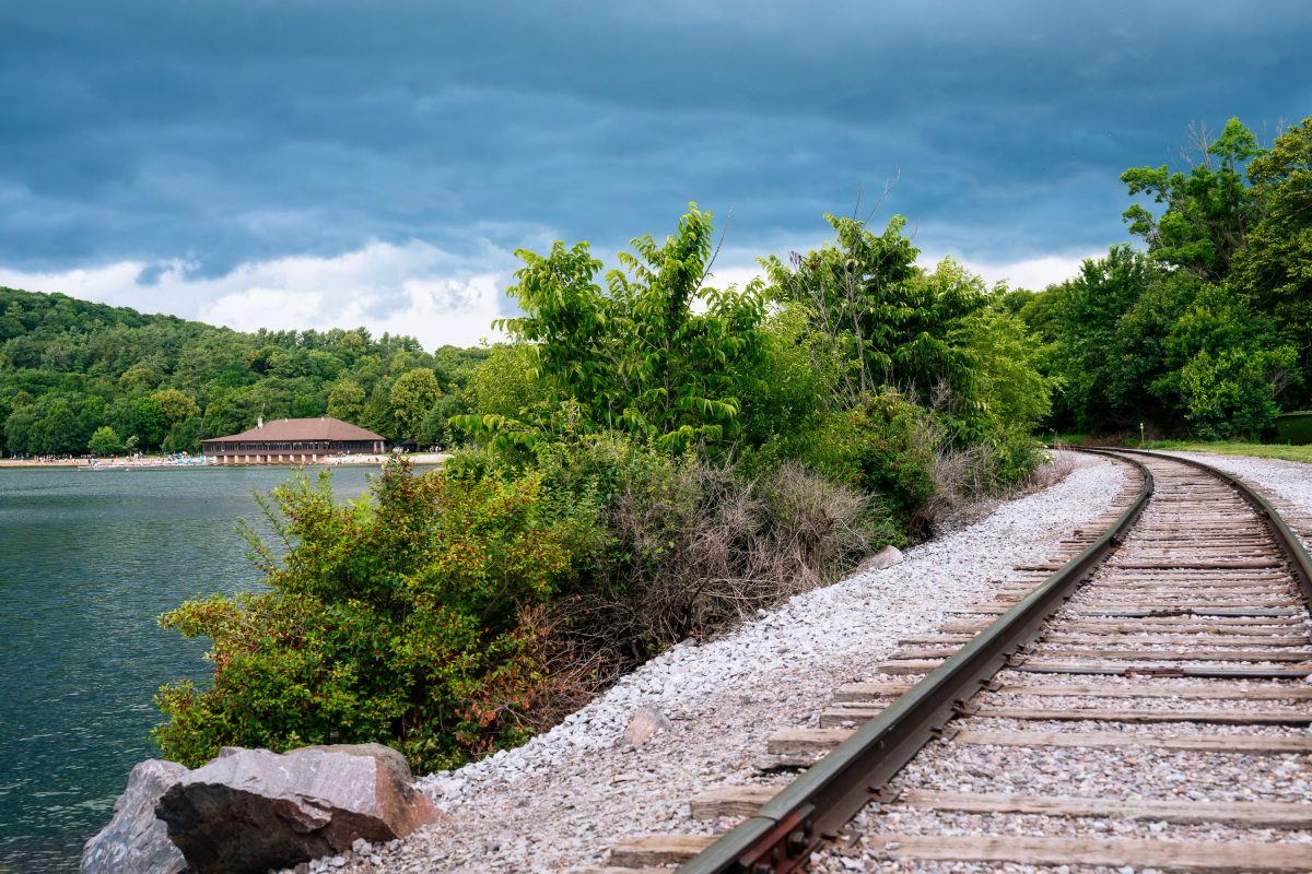
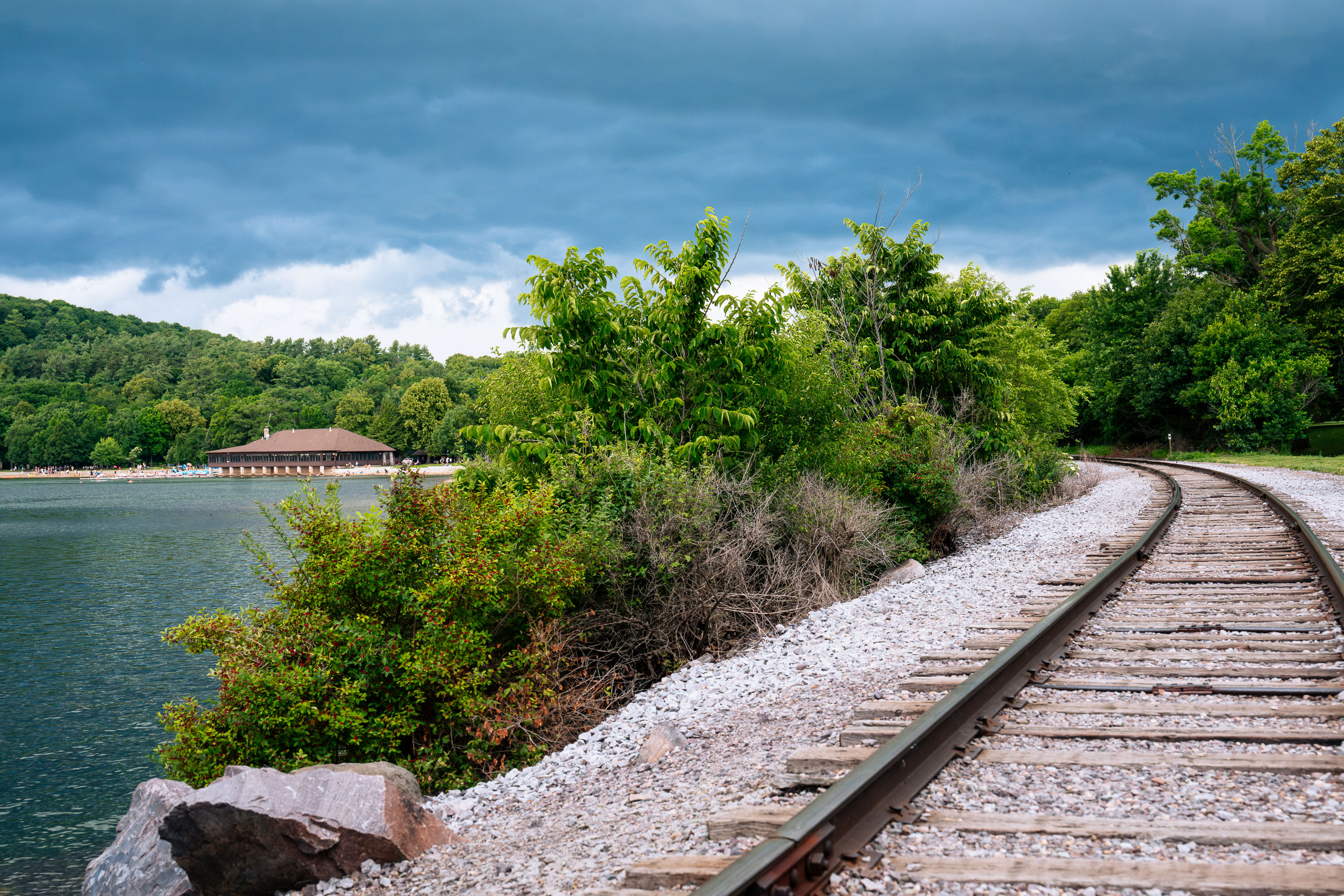
Railroad tracks at Devil's Lake State Park in Wisconsin
The railroad tracks around Devil's Lake at Devil's Lake State Park. The Chateau pictured on the north shore of the lake was built in 1925.

Tracks Along the Shoreline at Devil’s Lake State Park
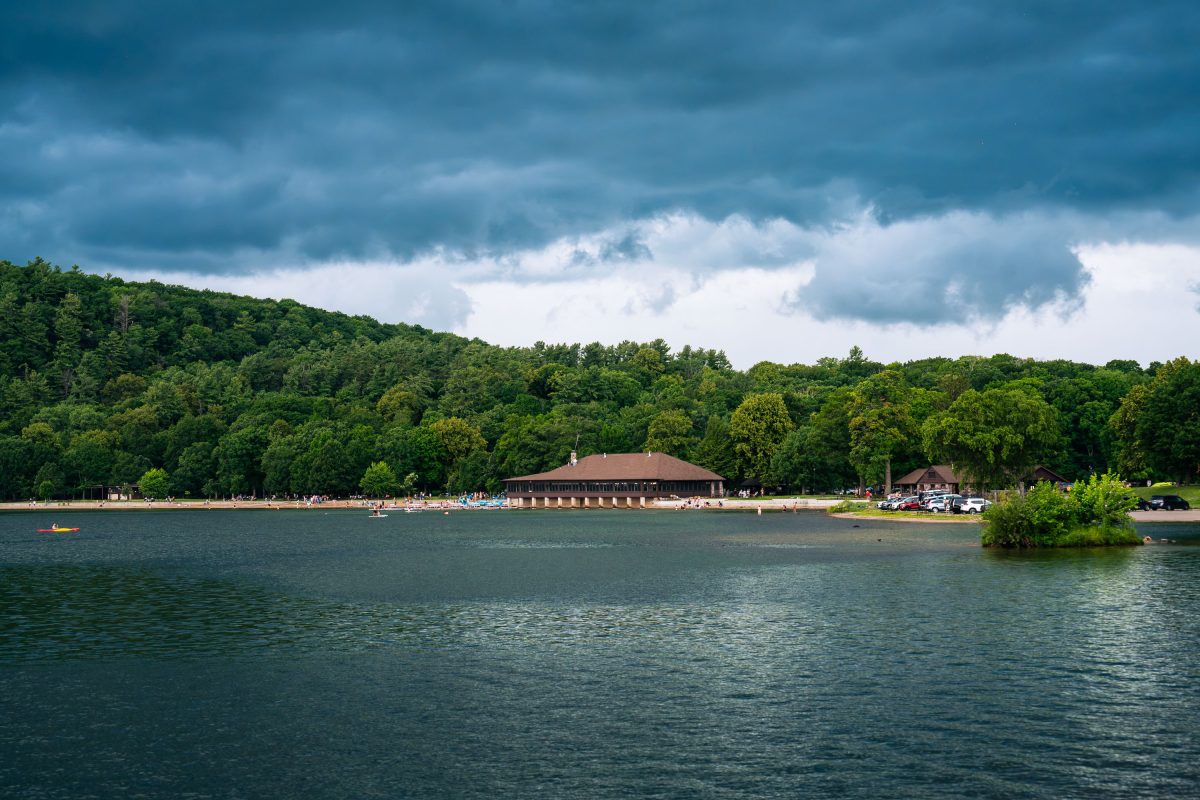
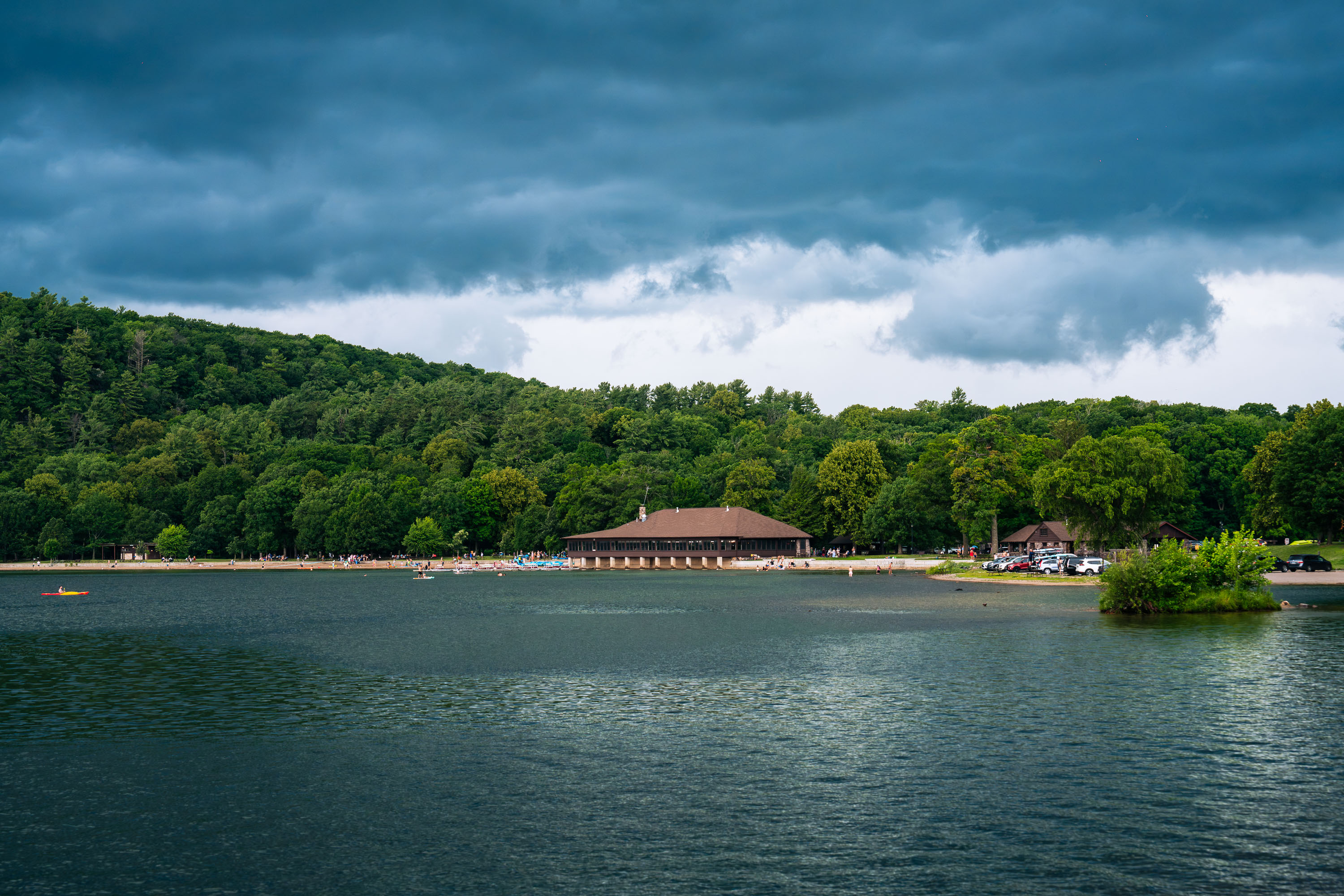
Devil's Lake at Devil's Lake State Park
Devil's Lake at Devil's Lake State Park as a thunderstorm rolls in. The pictured Chateau on the North Shore of the lake was built in 1925.

Storm Clouds Over the Chateau at Devil’s Lake State Park
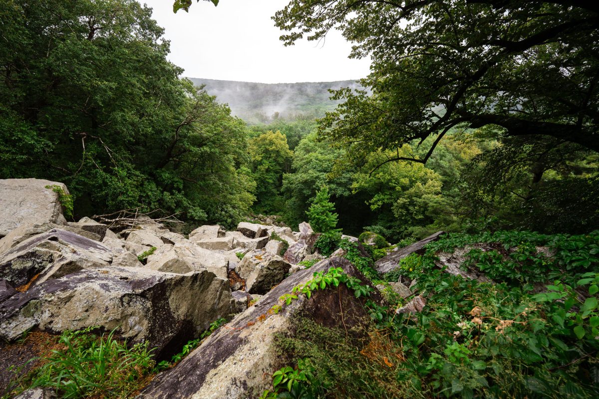
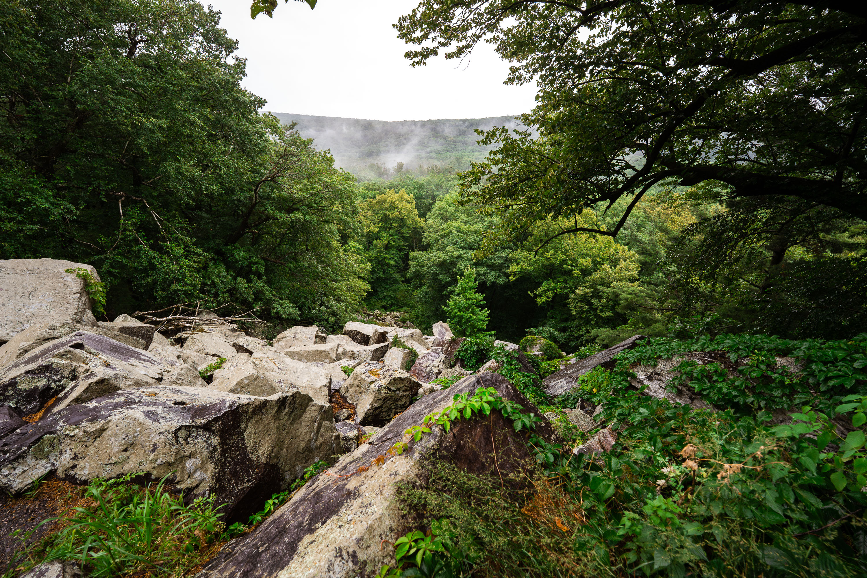
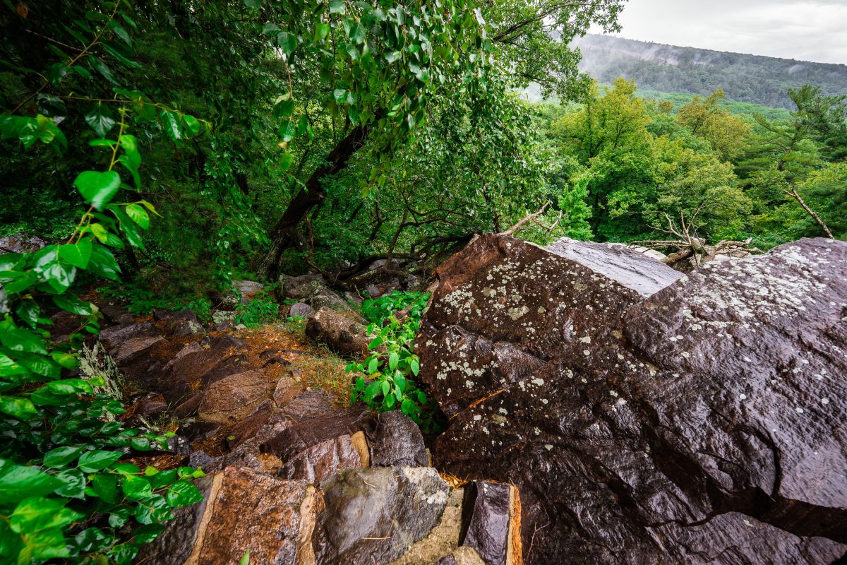
Boulder-strewn talus slope on the East Bluff at Devil's Lake State Park, Wisconsin, surrounded by forest.
Devil's Lake State Park sits within the Baraboo Hills, a range of quartzite bluffs formed roughly 1.6 billion years ago and later carved by glacial meltwater during the last ice age. The East Bluff rises about 500 feet above the lake and is lined with talus slopes—fields of broken quartzite boulders left behind as the cliff face eroded over millennia. Devil's Lake itself formed when glacial debris dammed both ends of an ancient river gorge, creating the enclosed lake seen today. Covering more than 9,000 acres, the park draws over three million visitors a year, making it the most visited state park in Wisconsin.

Misty Forest View from the East Bluff Talus, Devil’s Lake State Park
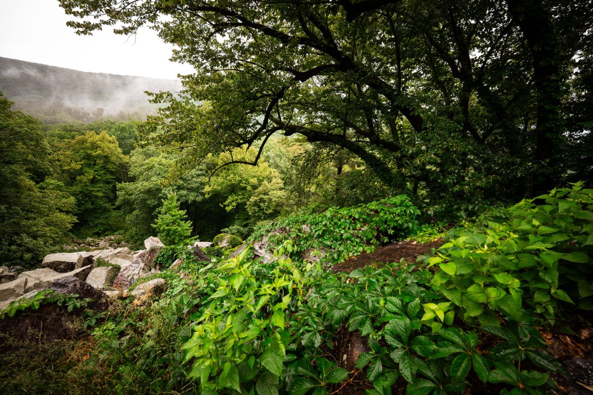
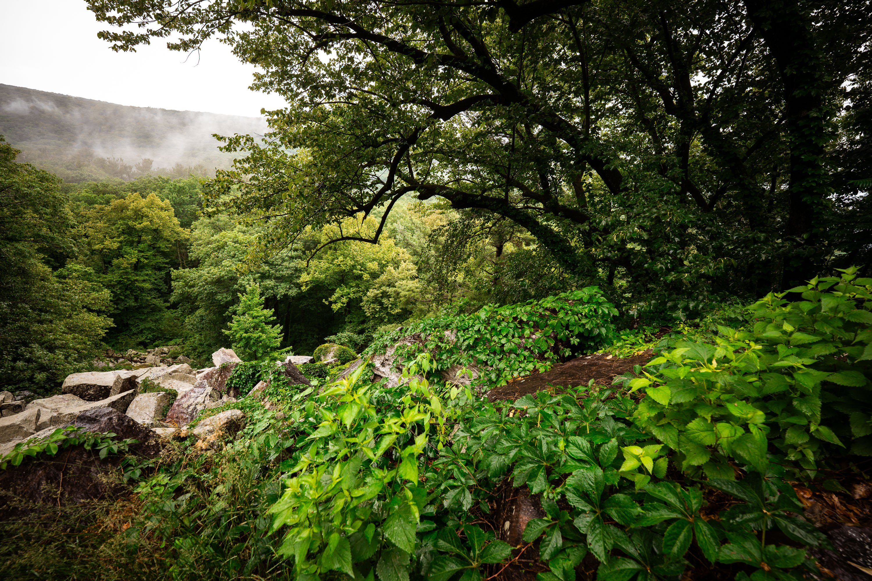
Rocky talus slope and dense forest along the East Bluff Trail at Devil's Lake State Park, Wisconsin.
Devil's Lake State Park covers roughly 9,200 acres in Baraboo, Wisconsin, and sits within the Baraboo Range, among the oldest exposed rock formations in North America. The East Bluff Trail climbs sections of quartzite talus, remnants of ancient bedrock broken apart by glacial and freeze-thaw activity over thousands of years. Dense stands of oak, maple, and basswood cover much of the bluff, part of the park's mixed hardwood forest. The park is Wisconsin's most visited state park, drawing more than three million visitors annually.

Misty Morning Over the Baraboo Range at Devil’s Lake State Park
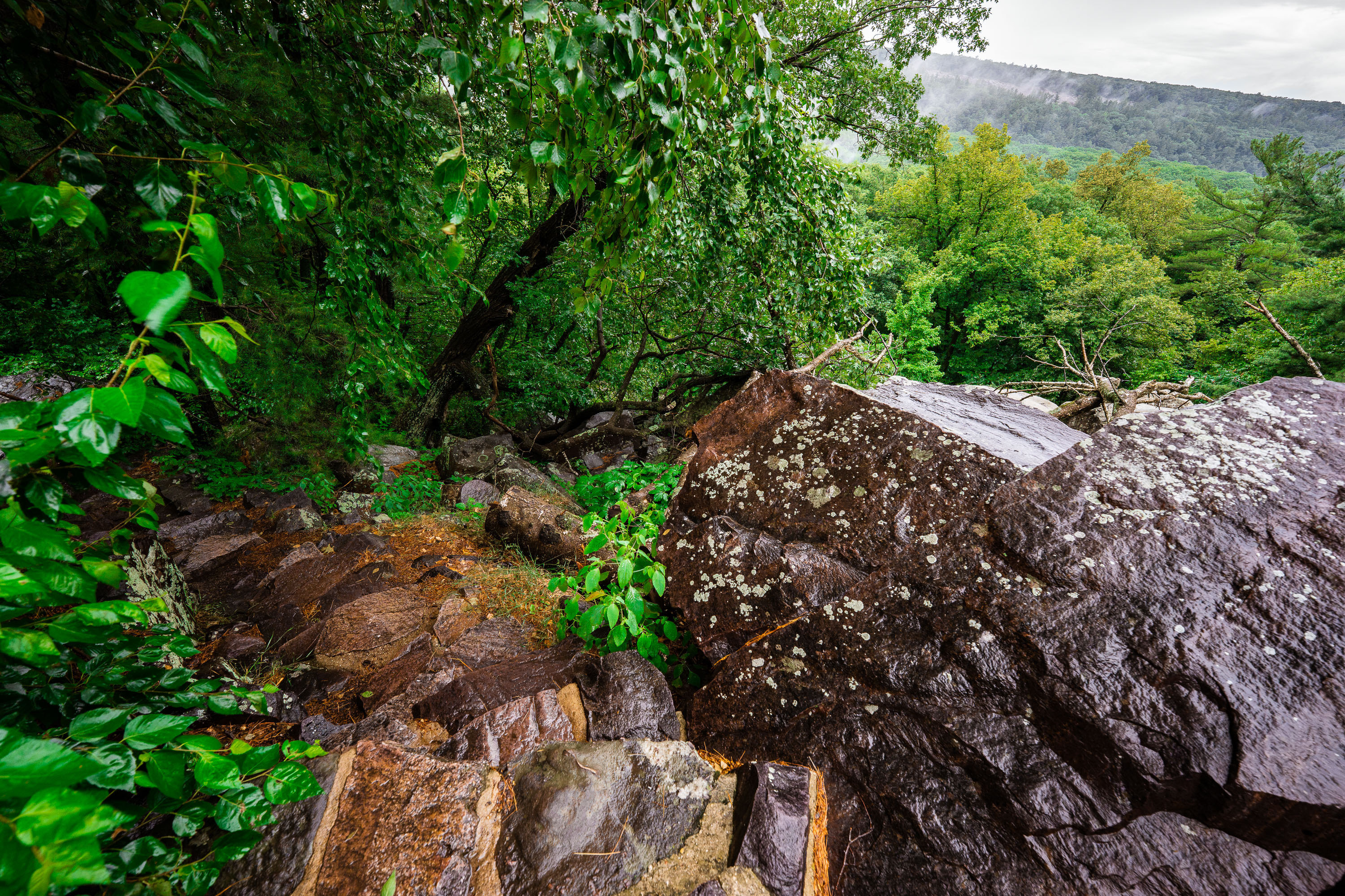
Quartzite boulders and talus rock line the East Bluff Trail at Devil's Lake State Park, Wisconsin.
Devil's Lake State Park sits near Baraboo, Wisconsin, within the Baraboo Range, a set of quartzite hills formed roughly 1.6 billion years ago. The East Bluff Trail traces the rim above the lake, passing over quartzite talus fields left by centuries of freeze-thaw fracturing along the bluff. The park itself spans over 9,000 acres and draws more than three million visitors a year, making it one of the most heavily used state parks in Wisconsin. Its bluffs and lake basin were carved by glacial activity that dammed an ancient river channel during the last Ice Age.

Quartzite Talus Along the East Bluff, Devil’s Lake State Park
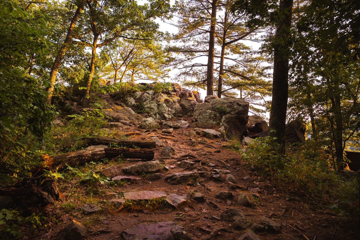
Rocky trail with boulders and trees on East Bluff at Devil's Lake State Park in Baraboo, Wisconsin.
Devil's Lake State Park sits in the Baraboo Range, a band of quartzite hills formed roughly 1.6 billion years ago among the oldest exposed rock in North America. The East Bluff trail climbs about 500 feet above the lake, crossing talus fields of quartzite boulders left behind as the surrounding cliffs eroded over millions of years. Glacial ice sheets stopped just short of this valley during the last ice age, damming the ancient Wisconsin River and creating the lake that gives the park its name. At roughly 9,200 acres, Devil's Lake draws more visitors annually than any other property in the Wisconsin state park system.

Rocky Trail to the East Bluff at Devil’s Lake State Park
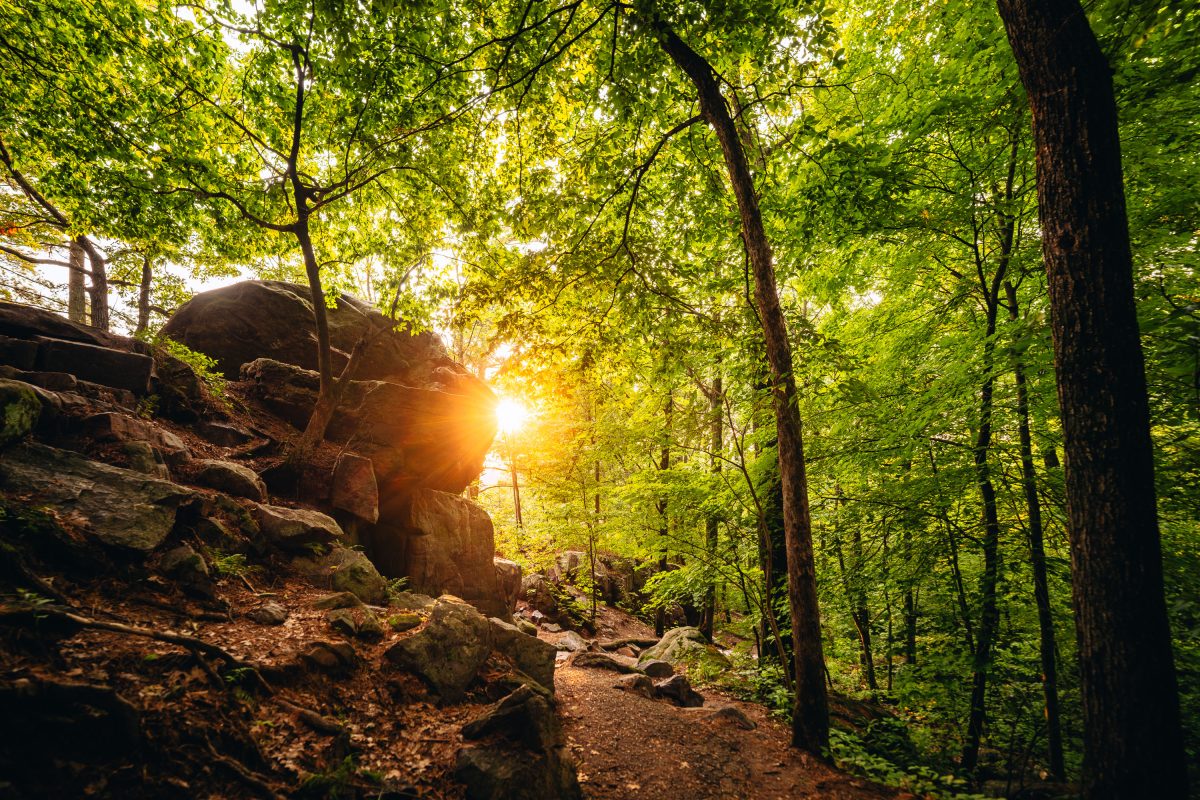
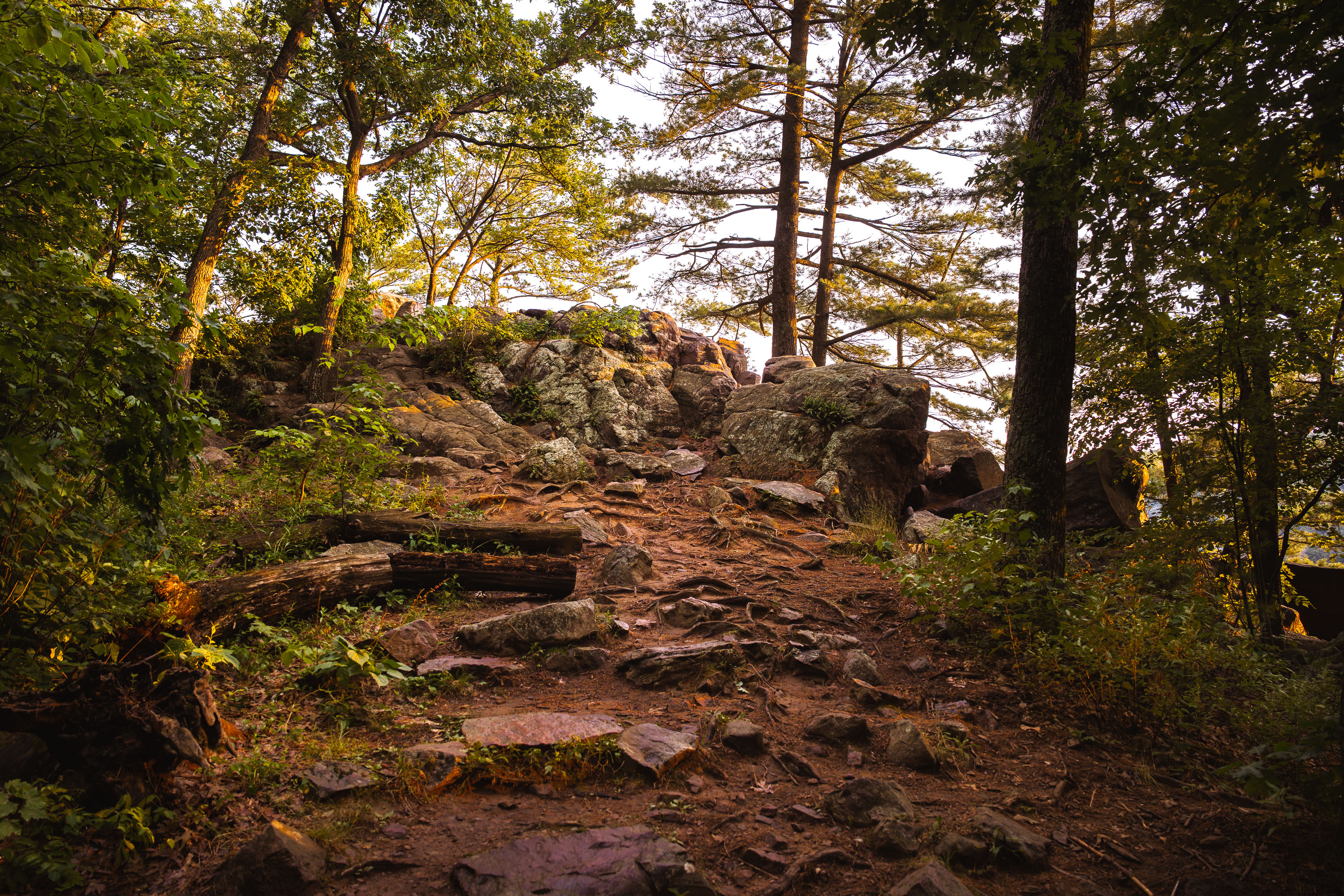
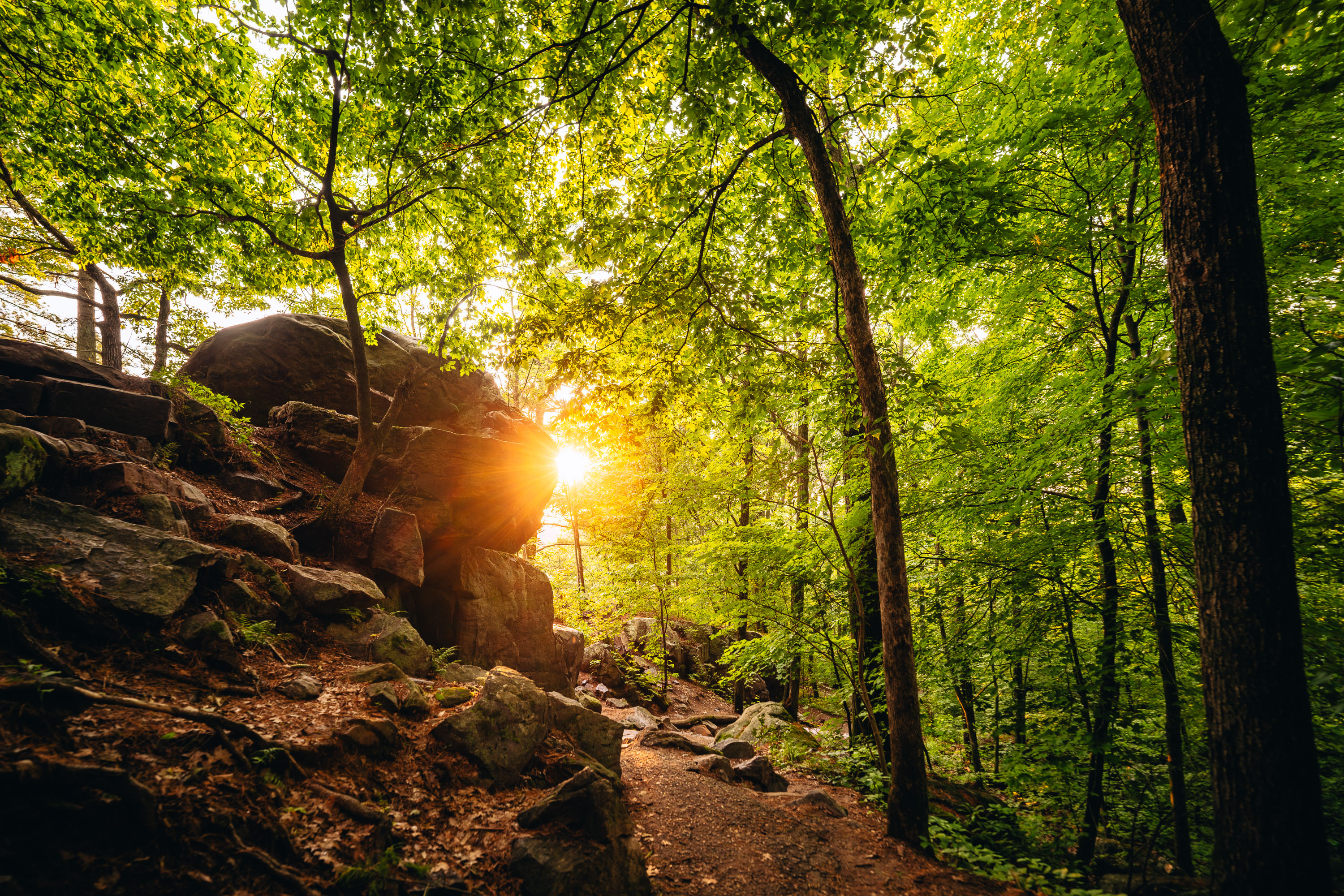
Sunlight filters through dense forest canopy above a rocky hiking trail at Devil's Lake State Park in Wisconsin.
Devil's Lake State Park sits within Wisconsin's Baraboo Range, among the oldest exposed rock formations in North America, with quartzite dating back some 1.6 billion years. The East Bluff Trail climbs along a talus slope of massive quartzite boulders left behind as ancient cliff faces broke apart over time. At more than 9,000 acres, Devil's Lake is the largest property in the Wisconsin State Park System and consistently draws more visitors than any other park in the state. The lake itself formed when glacial debris dammed an ancient river channel, sealing off the valley at both ends and creating the basin seen today.

Sunset Through the Trees on the East Bluff Trail at Devil’s Lake
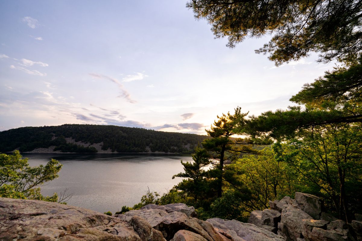
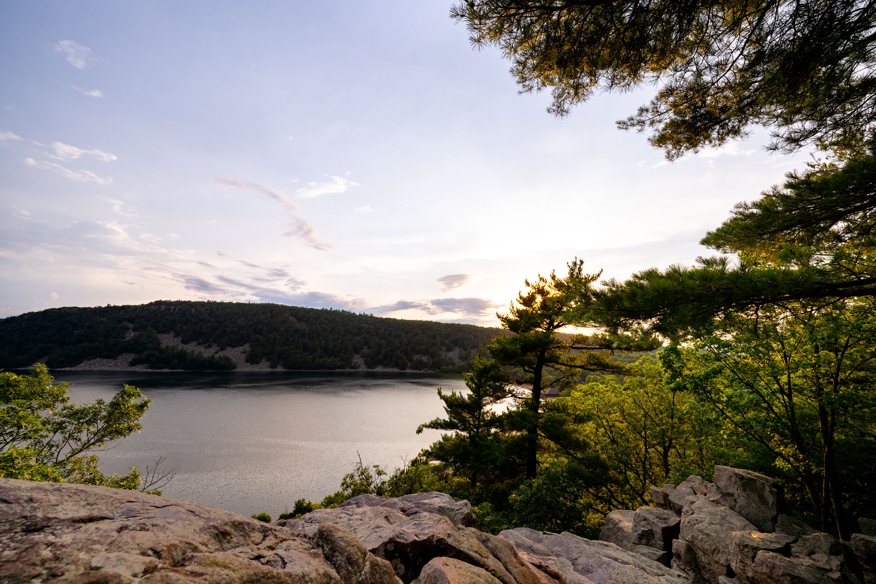
Forested shoreline and quartzite bluffs frame Devil's Lake at sunset in Wisconsin.
Devil's Lake State Park draws more visitors than any other state park in Wisconsin, with over three million arriving each year. The 360-acre lake at its center formed roughly 15,000 years ago when glacial debris blocked both ends of an ancient river gorge, leaving quartzite bluffs rising several hundred feet on either side. Those bluffs rank among the oldest exposed rock formations in North America, dating back nearly 1.6 billion years. The park sits within Wisconsin's Driftless Area, a region bypassed by glaciers during the last ice age, which left its river valleys and rock outcrops largely unaltered. Trails along the East Bluff and West Bluff give hikers elevated views of the lake below.

Sunset From the East Bluff Trail at Devil’s Lake State Park
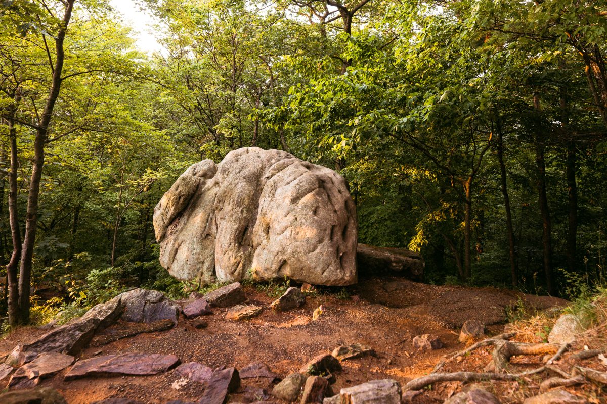
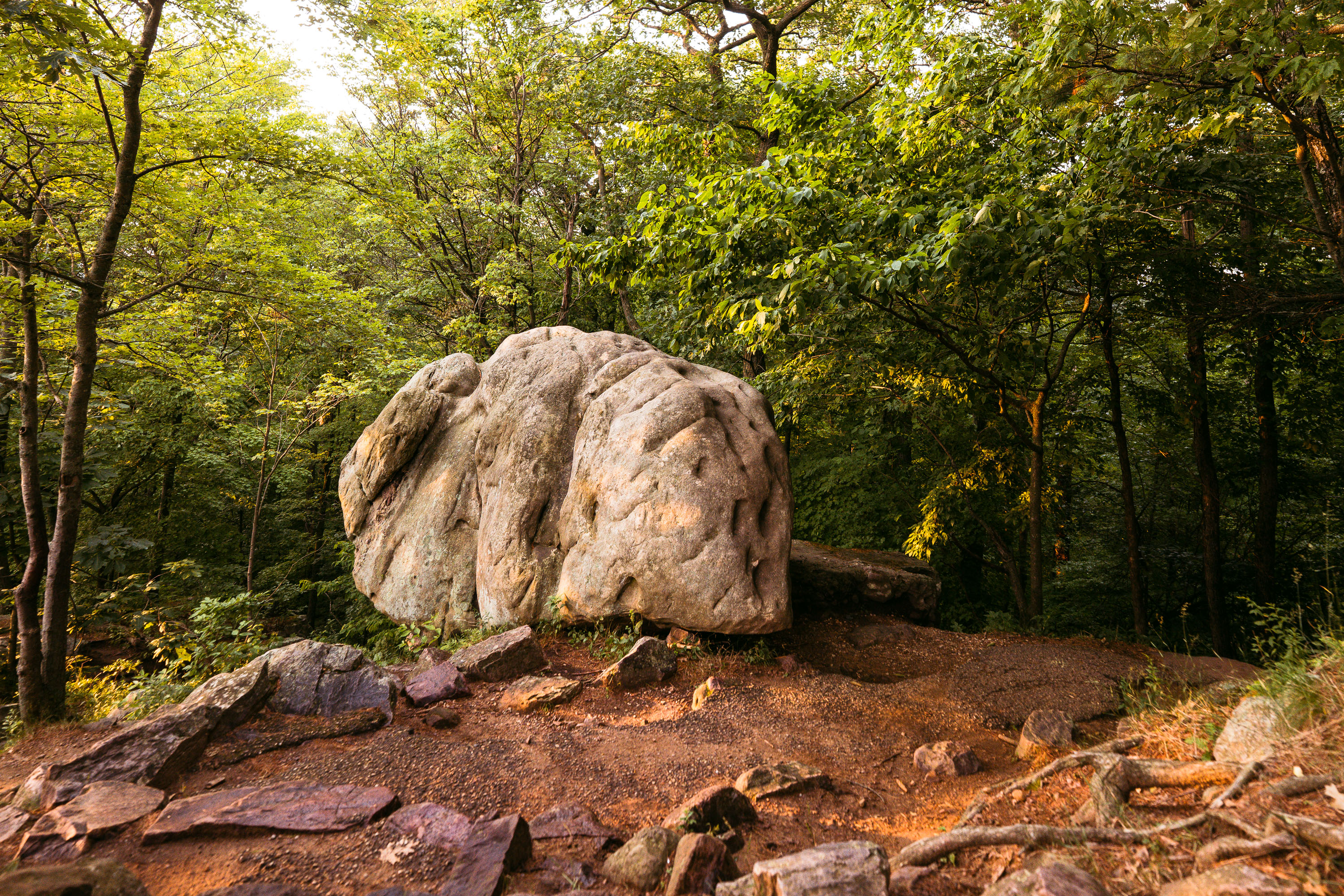
Elephant Rock, a large quartzite boulder, sits among forest trails at Devil's Lake State Park in Baraboo, Wisconsin.
Elephant Rock is a large quartzite boulder along the bluff trails at Devil's Lake State Park near Baraboo. The park's quartzite formed roughly 1.6 billion years ago, making it among the oldest exposed rock in North America, and boulders like this one resulted from ancient rock layers weathering and splitting apart over time. Devil's Lake State Park covers more than 9,000 acres and draws more annual visitors than any other park in the Wisconsin state system. The Ice Age Trail, a National Scenic Trail, runs through the park's bluffs near formations such as this one.

Elephant Rock on the Bluff Trail at Devil’s Lake State Park
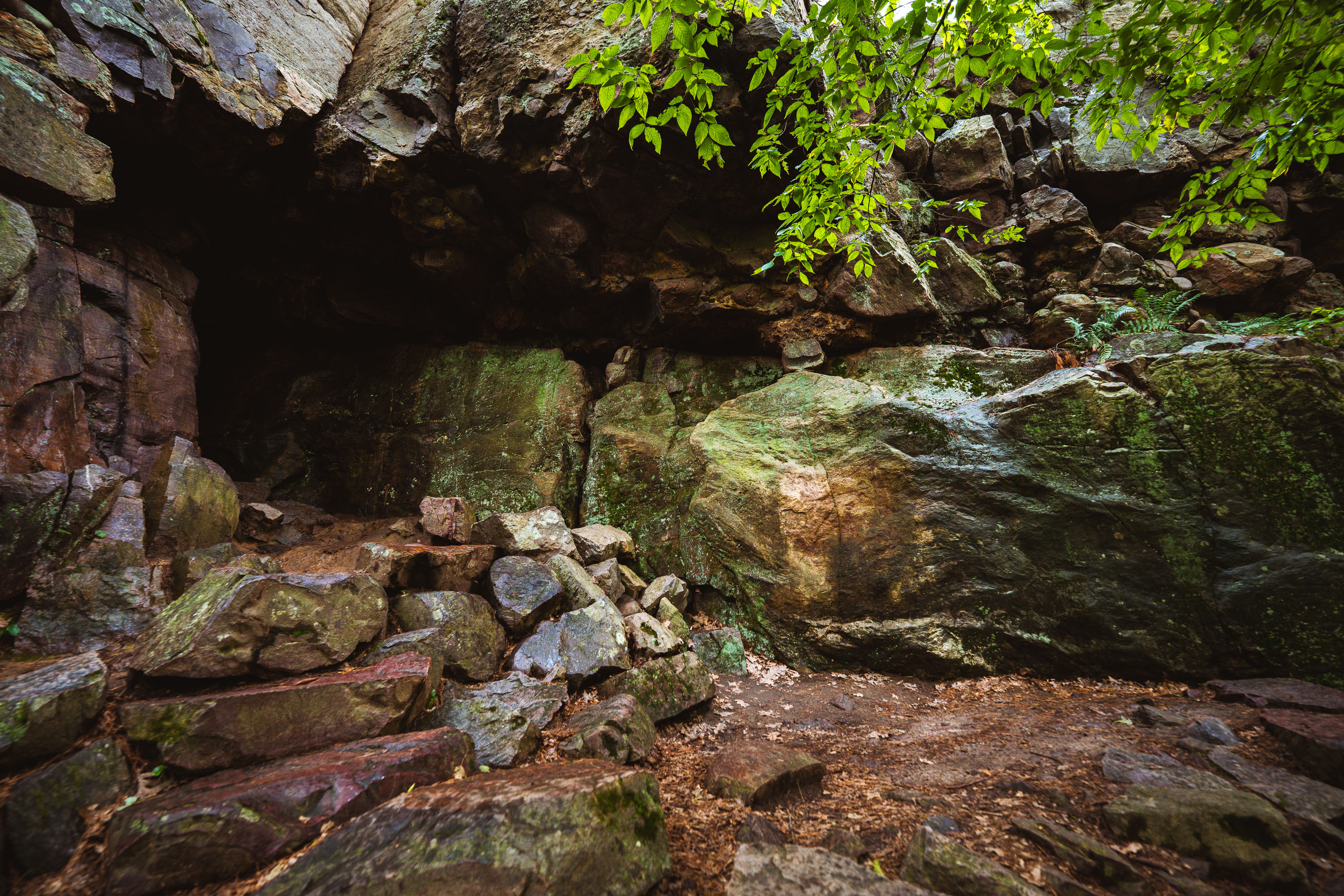
Elephant Cave entrance nestled in moss-covered quartzite rocks at Devil's Lake State Park, Wisconsin.
Elephant Cave sits along the East Bluff at Devil's Lake State Park, near Baraboo, Wisconsin. The bluff's quartzite boulders formed roughly 1.5 billion years ago and were later shaped by glacial meltwater during the last Ice Age, when the ancient Wisconsin River was dammed and diverted around the area. Devil's Lake is the most-visited state park in Wisconsin's system, drawing over two million visitors a year to its bluffs, talus slopes, and lake below. The park lies within the Baraboo Range, one of the oldest exposed rock formations in North America.

Rock Formations Near Elephant Cave on Devil’s Lake State Park’s East Bluff

Built in Minneapolis

Minneapolis Photographer

Browse by location, move through long-running series, or start with recent work.