Road

5 photos · 2015–2022

5 photographs tagged Road, 2015–2022.
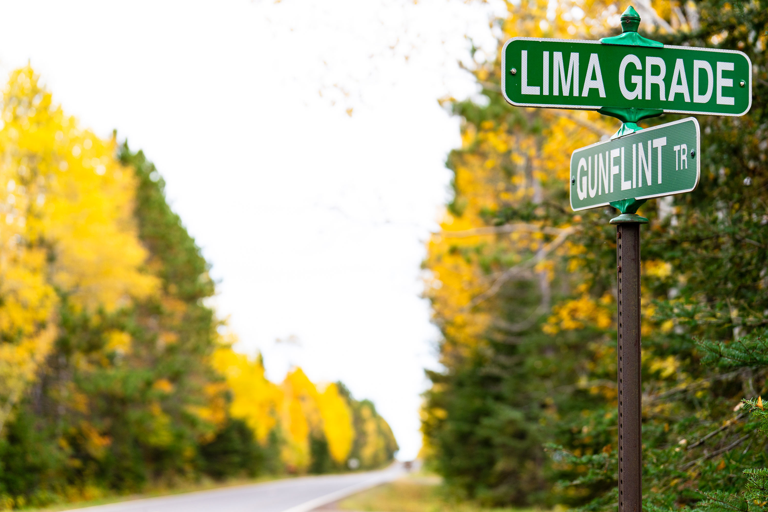
Lima Grade at Gunflint Trail, Grand Marais
Street signs at Lima Grade and Gunflint Trail in Grand Marais, Minnesota

Lima Grade at Gunflint Trail, Grand Marais
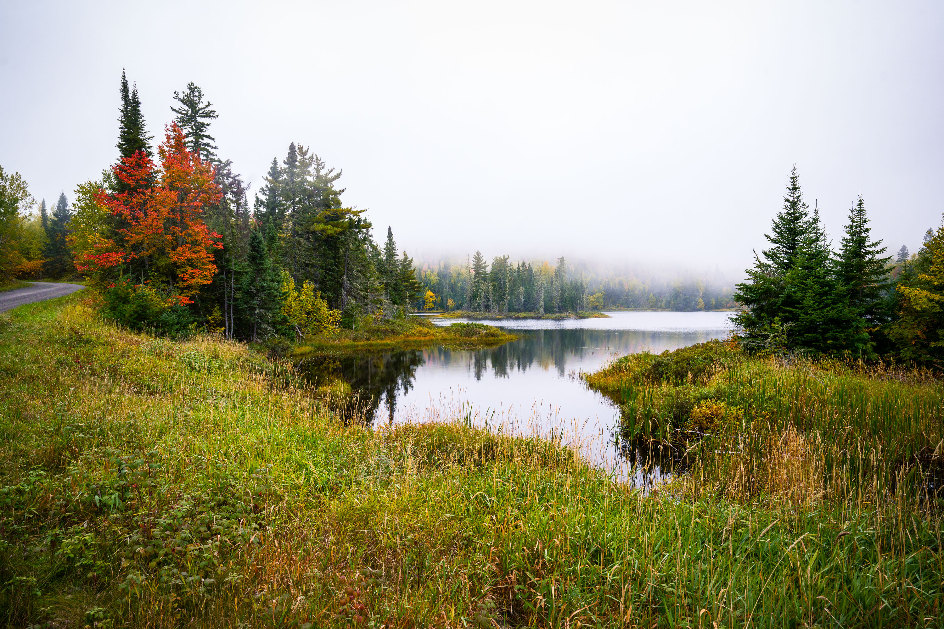
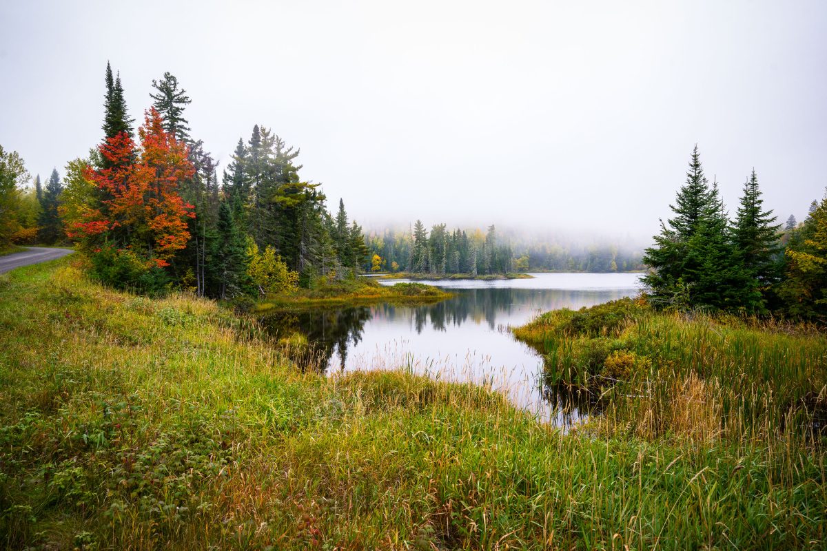
Shoe Lake surrounded by autumn forest and wetland grasses near Grand Marais, Minnesota.
Shoe Lake lies along Shoe Lake Road in Cook County, near Grand Marais, Minnesota, within the Superior National Forest region. The area is part of the North Shore's mixed boreal forest, where spruce, fir, and maple stands turn color each October.

Shoe Lake, Grand Marais, Minnesota

Yellow center line marks Highway 44 stretching through Badlands National Park's eroded buttes and grasslands, South Dakota.
Highway 44 runs along the southern edge of Badlands National Park, linking the town of Interior to Rapid City and serving as an alternate route to the more heavily traveled Badlands Loop Road (Highway 240). The park itself was designated in 1978, though the area had been protected as a national monument since 1939. Badlands National Park spans roughly 244,000 acres of mixed-grass prairie and eroded buttes, pinnacles, and spires formed by deposits laid down between 69 and 75 million years ago. Erosion continues to reshape the formations at a rate of about an inch per year, among the fastest in the world.

A Lonely Stretch of Highway 44 in Badlands National Park

Place de l’Alma traffic circle in Paris with cars, scooters, cyclists, and Haussmann buildings.
Place de l’Alma in Paris is a traffic circle near the Pont de l’Alma on the Right Bank. Cars, scooters, and cyclists circulate past Haussmann-era buildings and corner shops at the junction between the 8th and 16th arrondissements.

Place de l’Alma Traffic Circle, Paris

Straight highway with yellow center line stretches through flat green fields near Wolford, North Dakota under hazy sky.
Wolford is a small city in Pierce County, North Dakota, in the north-central part of the state along Highway 17. The surrounding countryside is flat to gently rolling prairie, given over mostly to wheat, canola, and soybean farming, with scattered wetlands typical of the Prairie Pothole Region. Haze events like this one are common in the area during summer months, often tied to smoke drifting south from wildfires in Canada's boreal forest. Pierce County's population has declined steadily since peaking in the mid-20th century, leaving long stretches of two-lane highway like this one with little traffic.

Hazy Two-Lane Highway Near Wolford, North Dakota