Grand Marais

6 photos · 2022

6 photographs tagged Grand Marais, 2022.

Lima Grade at Gunflint Trail, Grand Marais
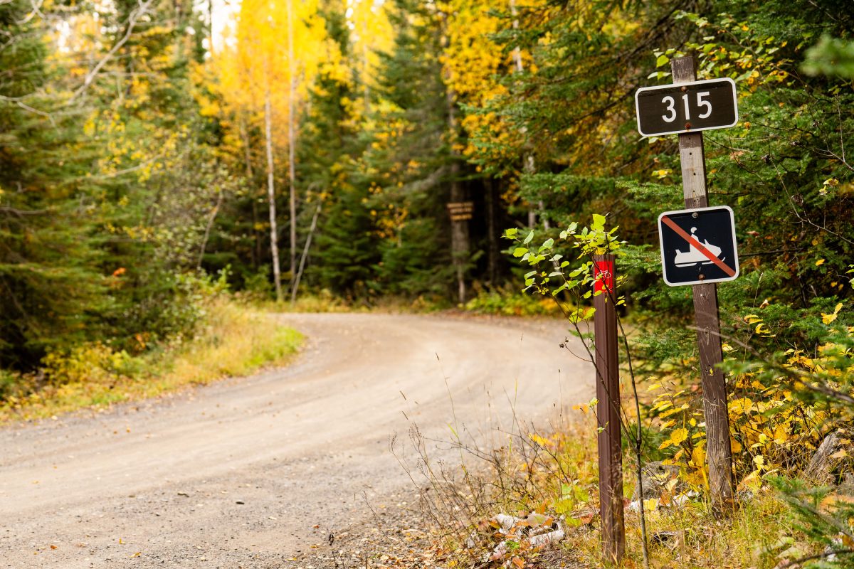
Street signs at Lima Grade and Gunflint Trail in Grand Marais, Minnesota

Lima Grade at Gunflint Trail, Grand Marais
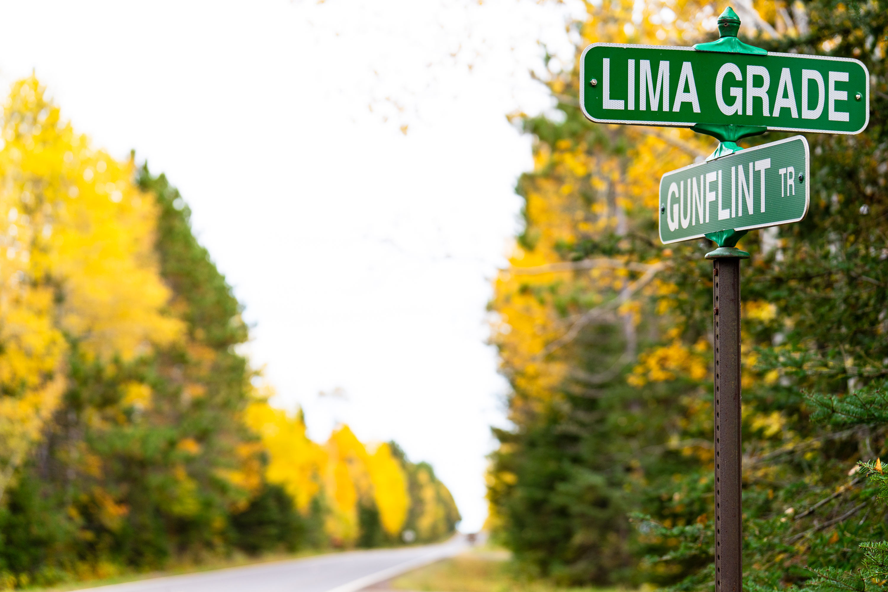
315 sign at Lima Grade at Gunflint Trail, Grand Marais
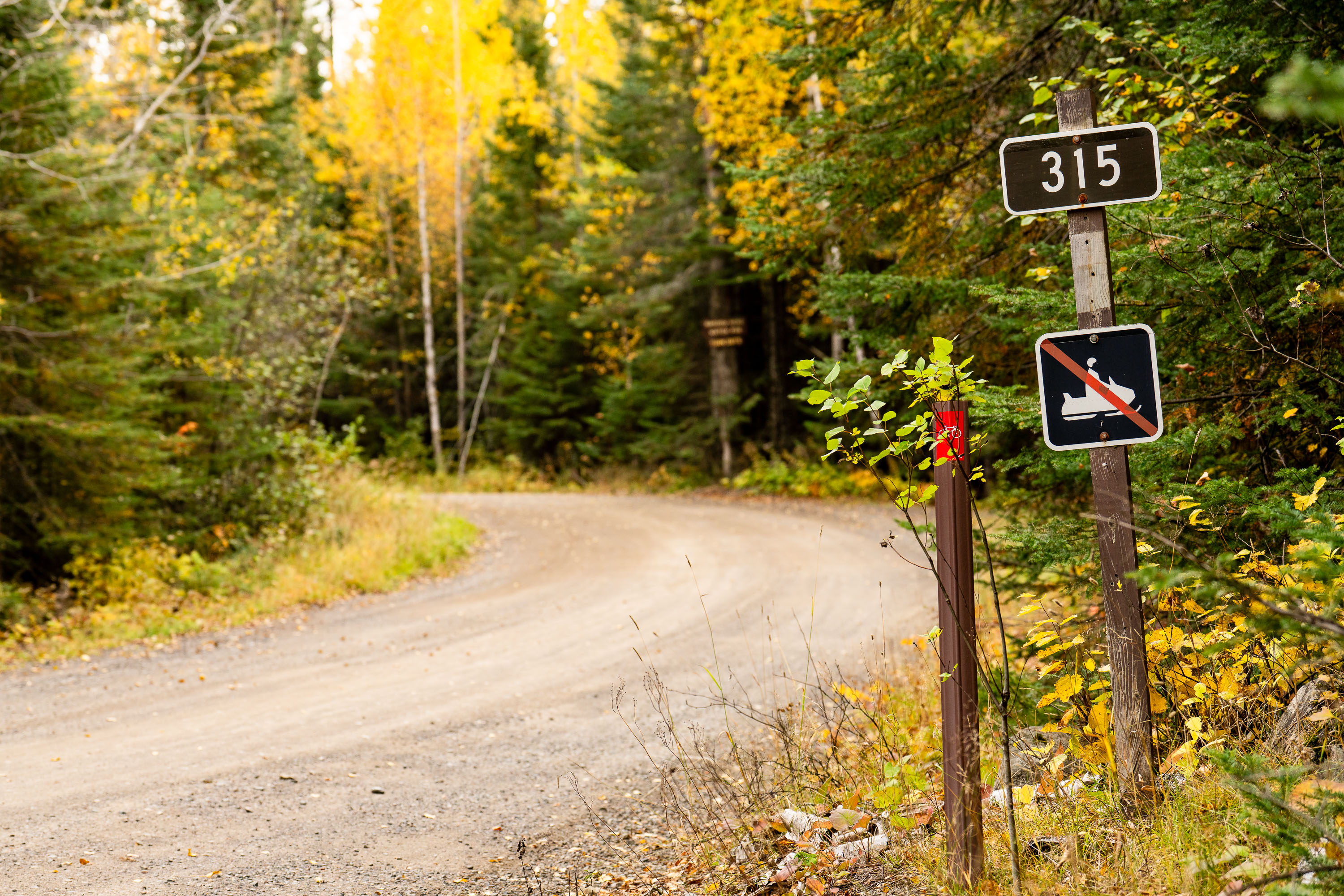
Lima Grade Road at the Gunflint Trail in Grand Marais, Minnesota.

315 sign at Lima Grade at Gunflint Trail, Grand Marais
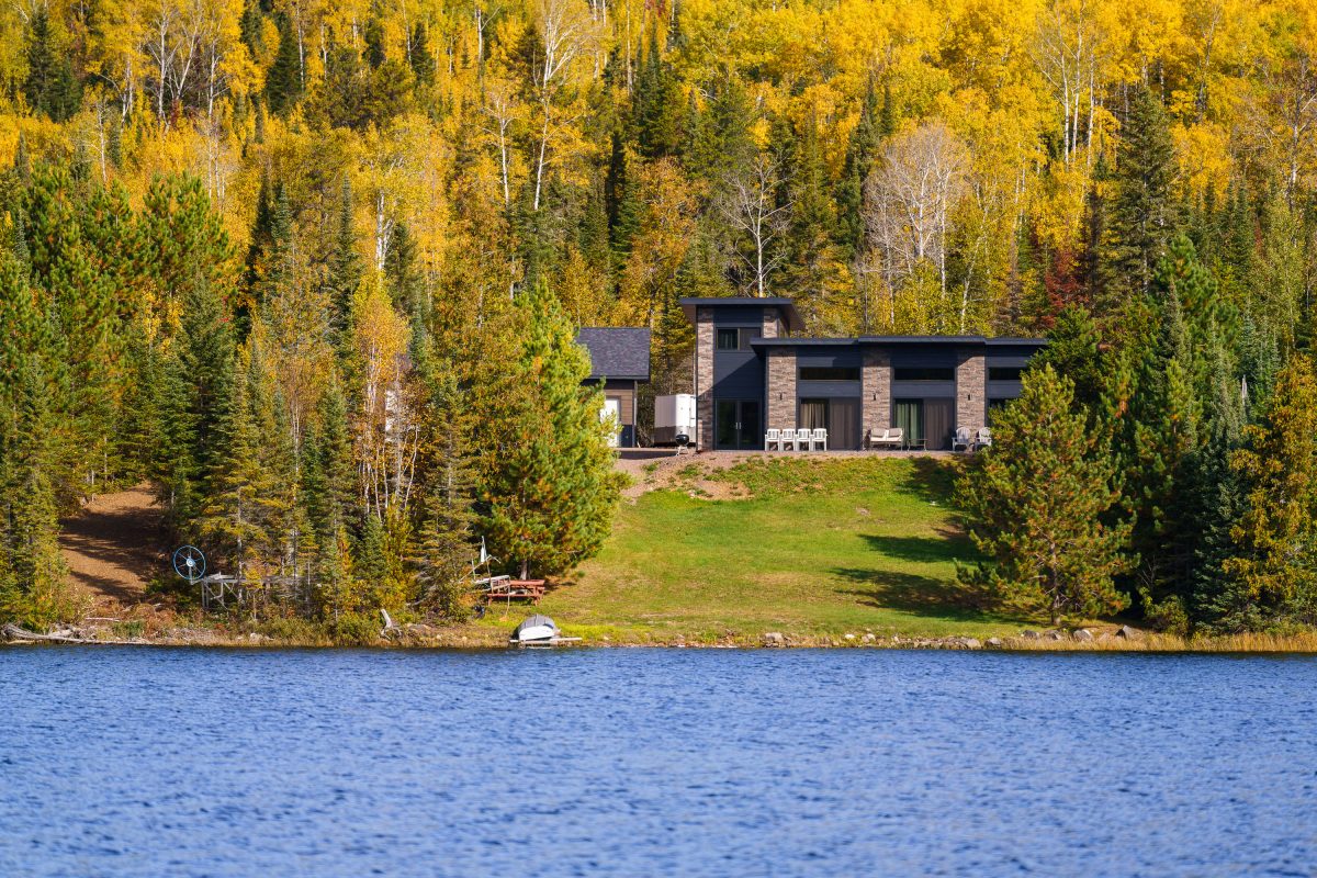
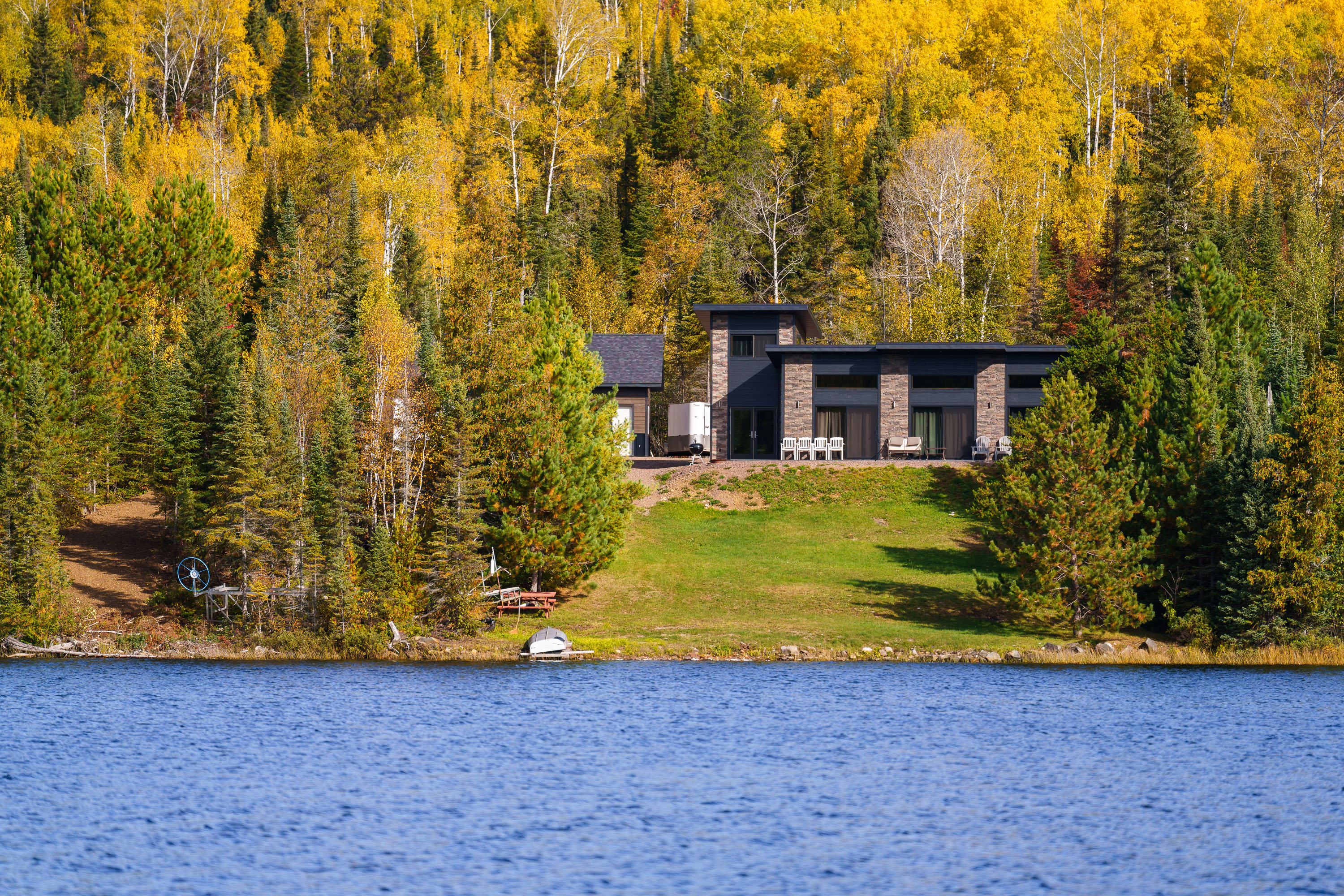
Modern home with stone facade on forested shoreline of Gunflint Lake, Minnesota, during autumn.
Gunflint Lake forms part of the international border between Minnesota and Ontario, Canada, within the Boundary Waters Canoe Area Wilderness and its Canadian counterpart, Quetico Provincial Park. The lake runs roughly six miles long and sits at the far end of the Gunflint Trail, about 45 miles northwest of Grand Marais. It's a popular put-in point for canoe and fishing trips into the connected chain of border lakes, and cabins along its shoreline are among the few private inholdings permitted within the wilderness boundary.

Lakeside Home Along the Gunflint Trail, Minnesota

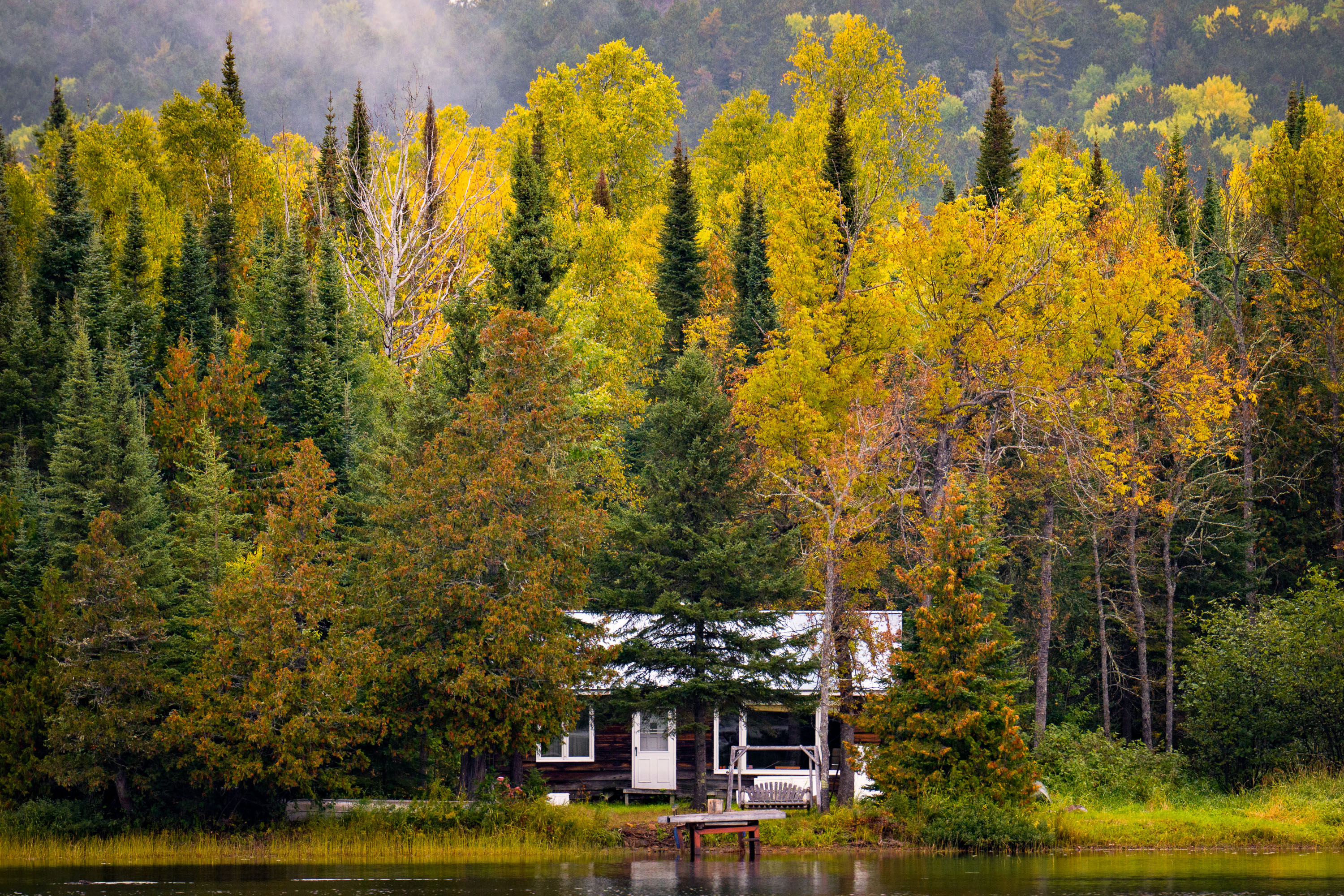
A cabin on McFarland Lake surrounded by birch and conifer trees in autumn foliage, northern Minnesota.
McFarland Lake sits along the Arrowhead Trail, a county road in Cook County near Grand Portage in far northeastern Minnesota. The lake lies close to the Canadian border and the eastern edge of the Boundary Waters Canoe Area Wilderness, an area popular for canoe access points and backcountry paddling routes. Cabins along this stretch of the Arrowhead Trail are mostly private, seasonal retreats built for fishing and access to the surrounding Superior National Forest.

Lakeside Cabin, McFarland Lake, Arrowhead Trail, Minnesota
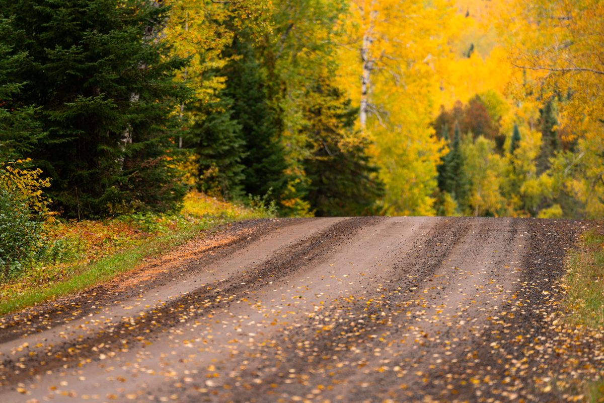
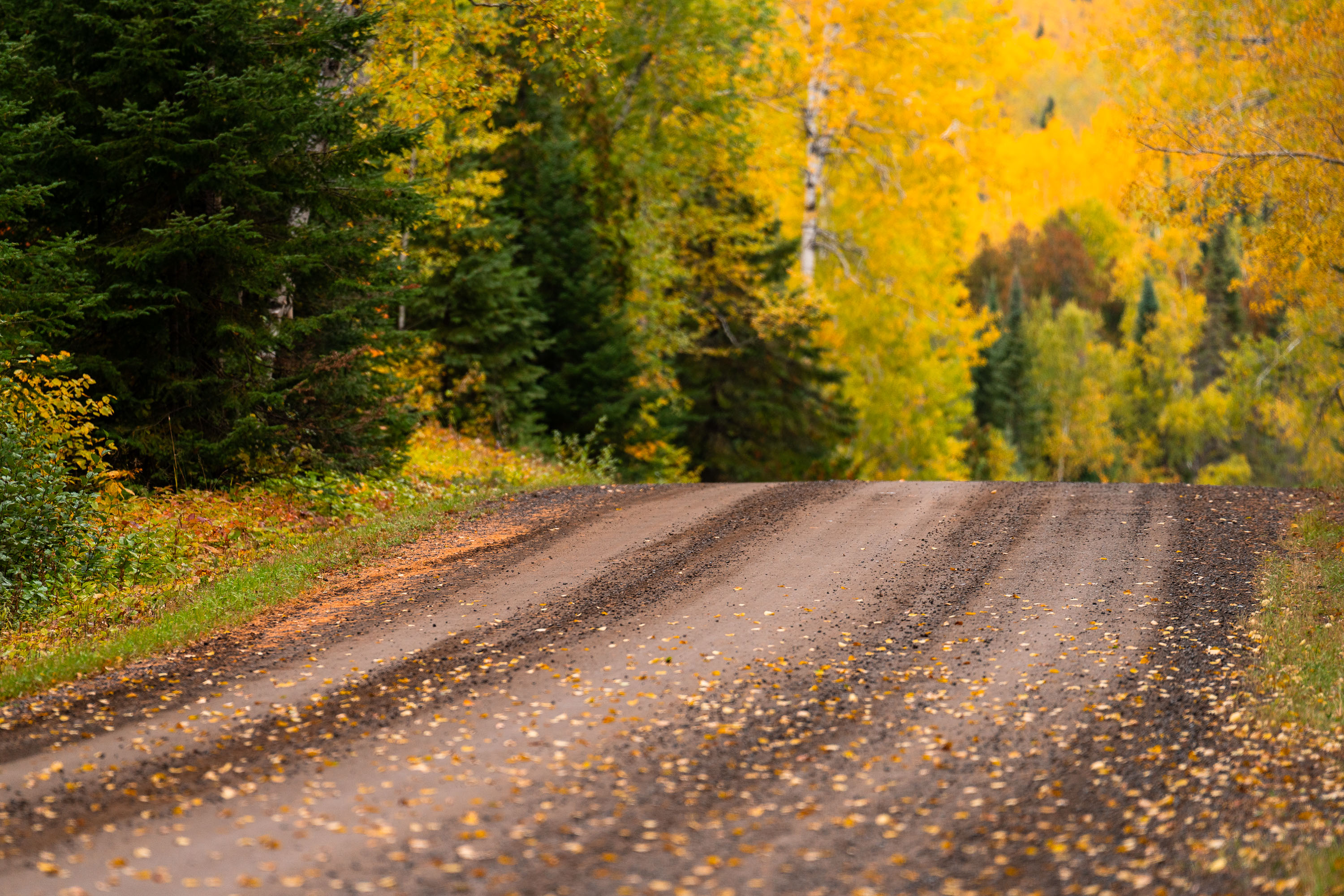
Gravel road through northern Minnesota forest in autumn with yellow larch and evergreen trees.
The Arrowhead Trail runs roughly 27 miles north from Minnesota Highway 61 at Hovland to South Fowl Lake on the Canadian border. Most of the route is unpaved, passing through the Superior National Forest and skirting the eastern edge of the Boundary Waters Canoe Area Wilderness. Cook County maintains the gravel surface, which sees heavy use by hunters, anglers, and leaf-peepers each fall as sugar maples and aspen along the corridor turn color. The road ends at a boat landing on South Fowl Lake, one of the closest public access points to Canada in this part of the state.

Fall Colors Along the Arrowhead Trail, Cook County
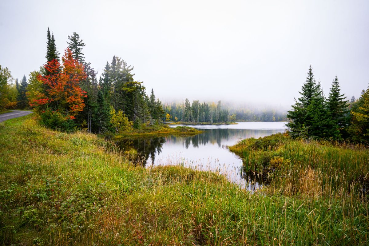
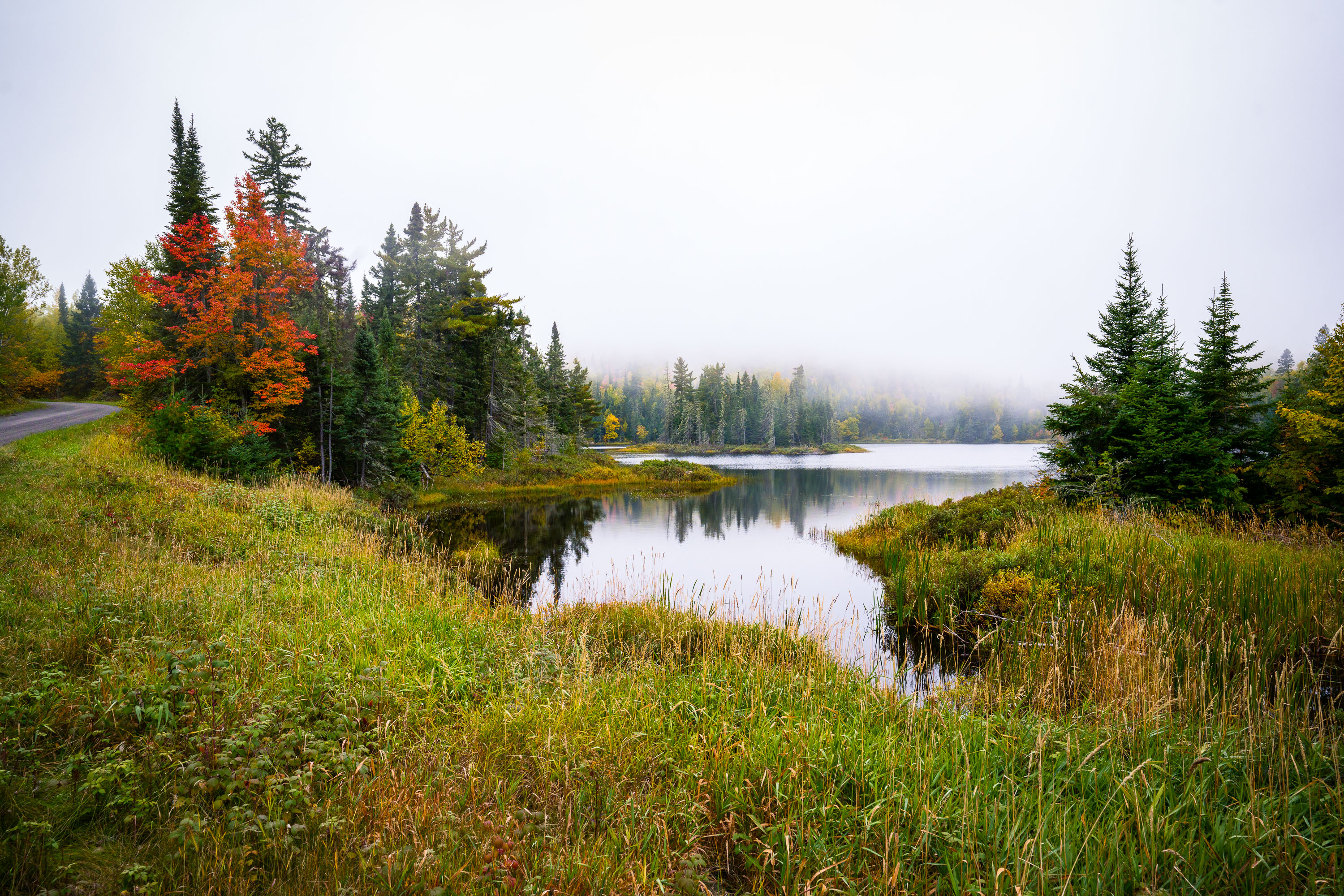
Shoe Lake surrounded by autumn forest and wetland grasses near Grand Marais, Minnesota.
Shoe Lake lies along Shoe Lake Road in Cook County, near Grand Marais, Minnesota, within the Superior National Forest region. The area is part of the North Shore's mixed boreal forest, where spruce, fir, and maple stands turn color each October.

Shoe Lake, Grand Marais, Minnesota