Needles Highway

7 photos · 2019

7 photographs tagged Needles Highway, 2019.
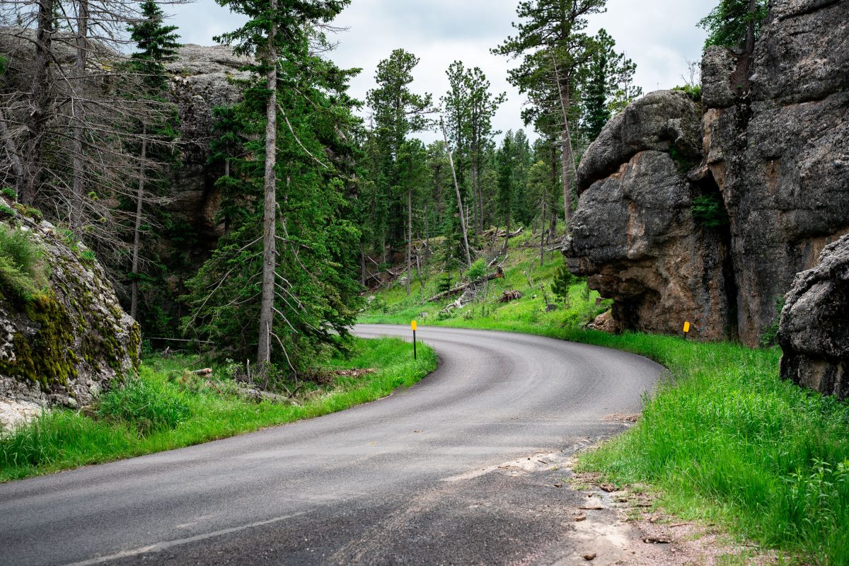
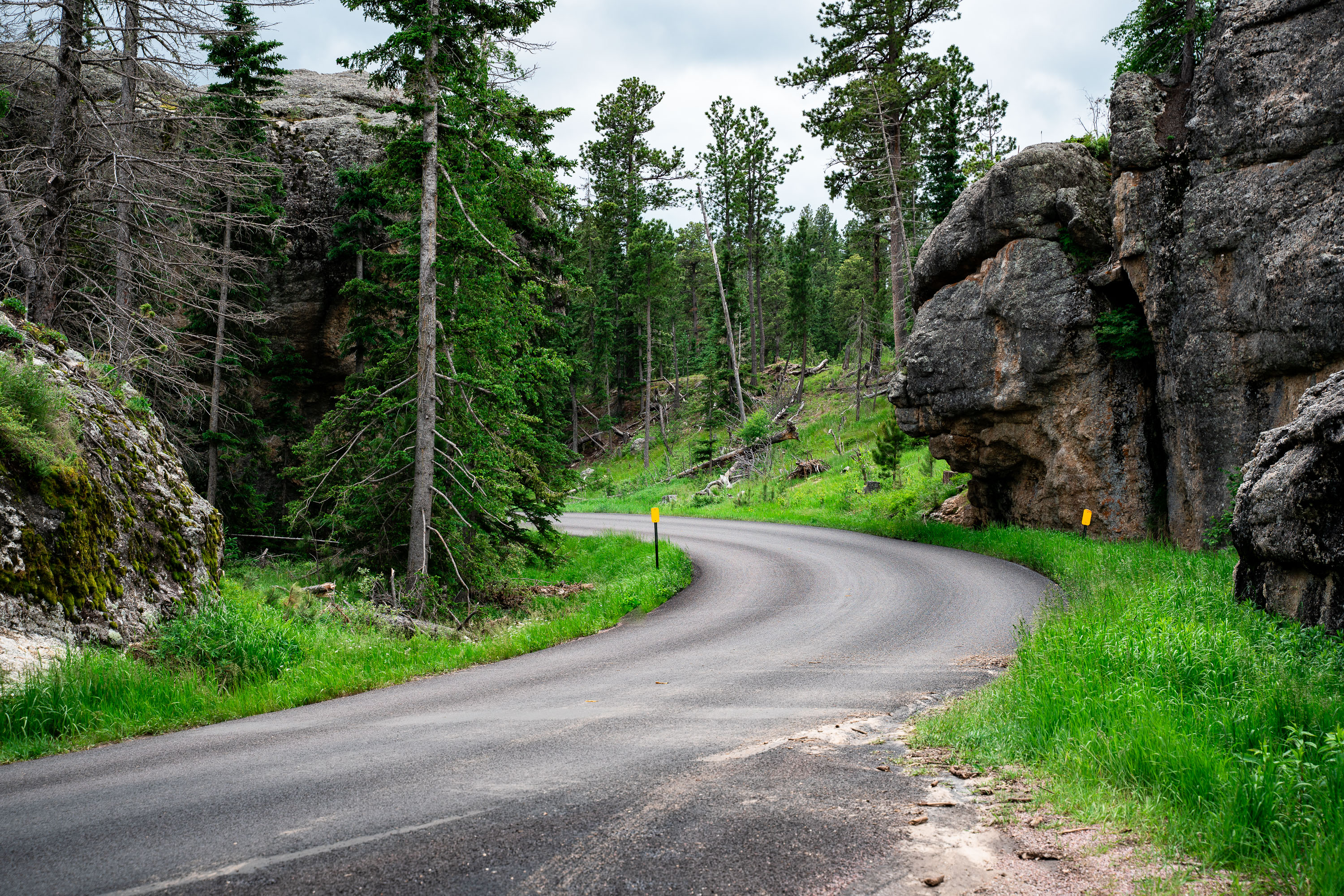
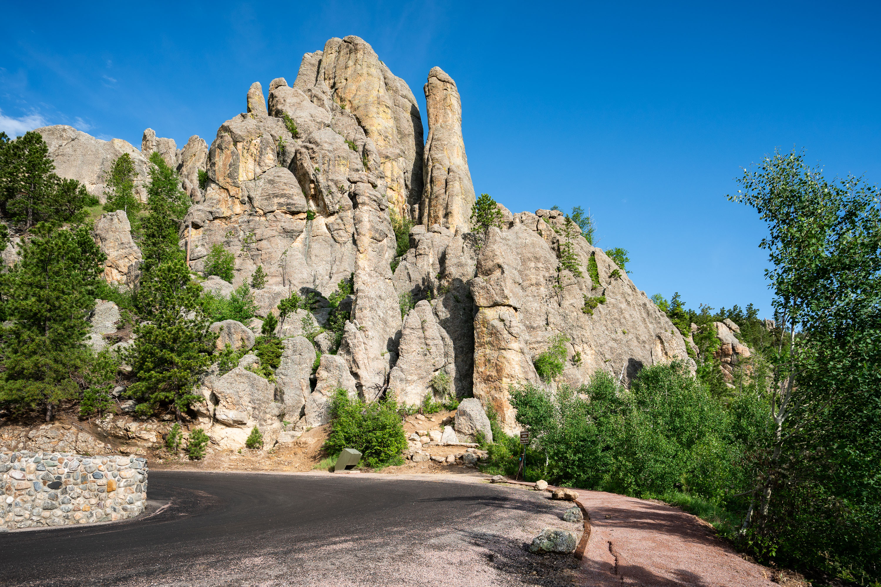
Winding mountain road curves through a forested landscape with large granite rock formations on both sides.
Needles Highway winds for 14 miles through Custer State Park in South Dakota's Black Hills, connecting Sylvan Lake to the town of Custer. Completed in 1922 under the direction of former South Dakota governor Peter Norbeck, the road was engineered to weave around the area's granite spires rather than blast through them, a decision Norbeck made after scouting the route on foot and horseback. The highway's narrow tunnels, some just over eight feet wide, were cut directly through the granite formations that give the road its name. It's now designated a National Scenic Byway and remains one of the main routes for viewing the eroded granite pillars that rise throughout this section of the Black Hills.

Needles Highway, Custer State Park, South Dakota
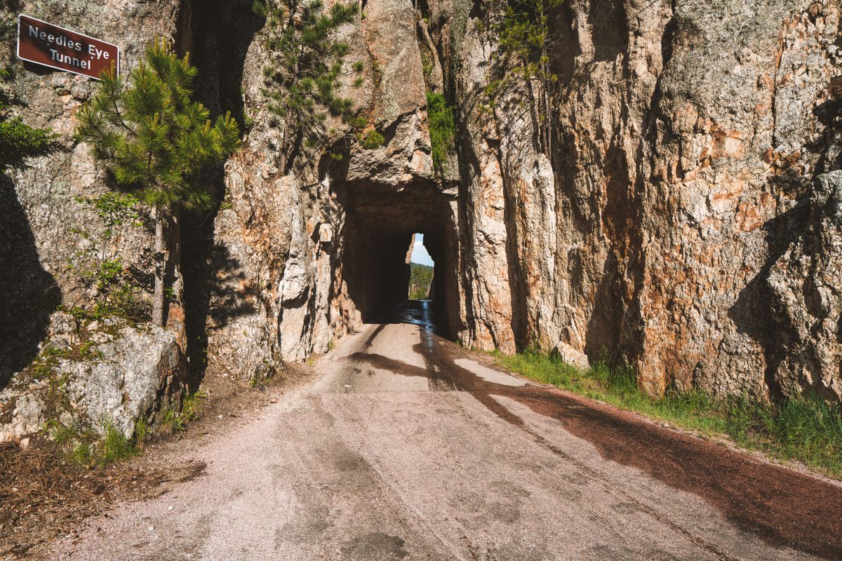
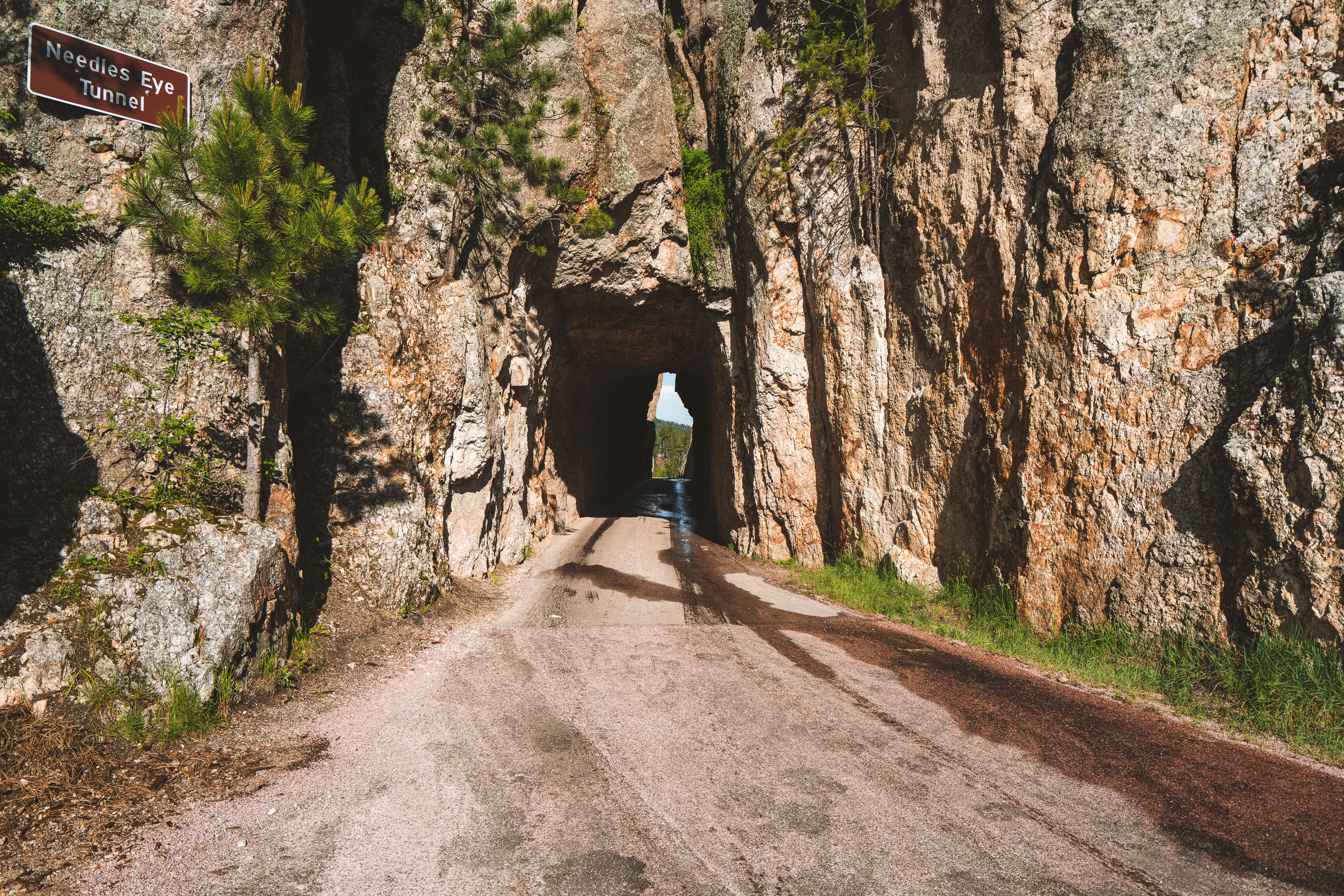
Needles Eye Tunnel, a narrow rock passage carved through granite cliffs along a dirt road.
Needles Eye Tunnel carries the Needles Highway through a narrow granite passage in Custer State Park, South Dakota. The tunnel is just over 8 feet wide and roughly 12 feet high, dimensions that force larger vehicles like RVs and buses to find alternate routes. It takes its name from the nearby Needles, a cluster of slender granite spires shaped by millions of years of erosion. The road itself, completed in 1922, was championed by South Dakota Governor Peter Norbeck, who laid out much of its winding path on horseback to preserve the surrounding rock formations. Needles Highway remains one of the routes leading toward Mount Rushmore, connecting Custer State Park to the Black Hills beyond.

Needles Eye Tunnel Sign in Custer State Park South Dakota
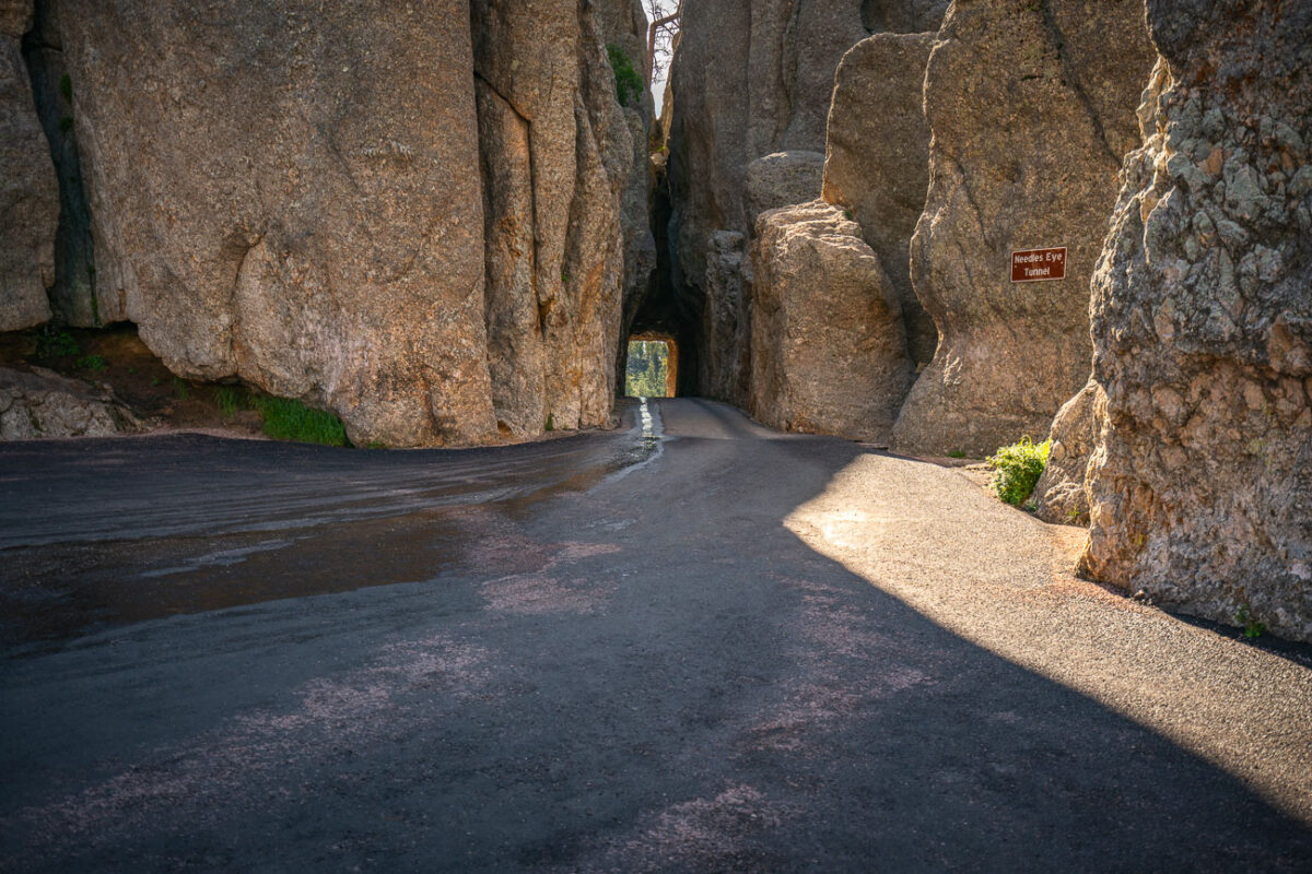
Needles Eye Tunnel, a narrow granite passage on Needles Highway in Custer State Park, South Dakota.
The Needles Eye Tunnel carries South Dakota Highway 87 through a granite spire along the Needles Highway in Custer State Park. Governor Peter Norbeck laid out the highway's route on foot in the early 1920s, insisting the road be cut directly through the rock rather than routed around it. Engineer Scovel Johnson completed the tunnel in 1922, cutting it just eight feet nine inches wide to match the width of a car of the era. The tunnel takes its name from a needle-like granite formation nearby. Custer State Park, established in 1919, encompasses more than 71,000 acres of the Black Hills.

Needles Eye Tunnel Along Needles Highway, Custer State Park
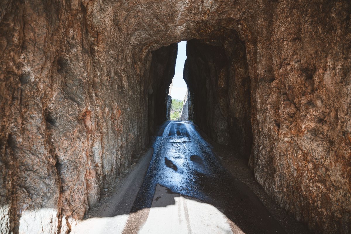
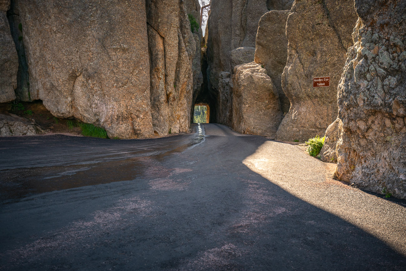
Needles Eye Tunnel, a narrow stone passage with blue water channel running through it.
The Needles Eye Tunnel carries the Needles Highway through a granite spire in Custer State Park, South Dakota. Carved in the 1920s under the direction of Governor Peter Norbeck, who helped design the route, the passage measures just over eight feet wide and roughly twelve feet tall, barely wide enough for a single vehicle. Norbeck laid out the highway's course on foot and by horseback before construction began in 1919, insisting the road bend around the granite formations rather than blast through them wherever possible. The tunnel takes its name from the thin, needle-like rock spire rising just beside it. Needles Highway itself runs about 14 miles and connects Sylvan Lake to the park's eastern entrance near Legion Lake.

Inside The Needles Eye Tunnel, Custer State Park, South Dakota

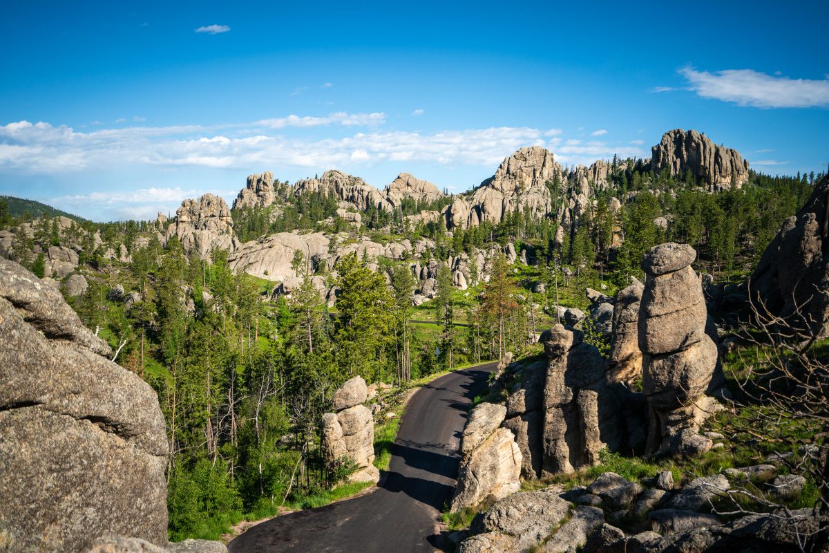
Granite rock formations and pine forest along a paved road in the Black Hills.
The Needles Highway winds through Custer State Park in South Dakota's Black Hills, threading past granite formations carved by frost and erosion over roughly a billion years. The road, designated South Dakota Highway 87, was completed in 1922 under the direction of Governor Peter Norbeck, who laid out the route on foot and horseback to highlight the spires rather than bypass them. Its narrow tunnels and tight turns were built specifically to frame these rock towers, some of which climb over 30 feet above the surrounding pine and aspen forest. The granite dates to the Precambrian era, among the oldest exposed rock in the region, and the needle-like spires form as softer material erodes away, leaving harder mineral veins standing exposed.

Granite Spires on the Needles Highway, Custer State Park

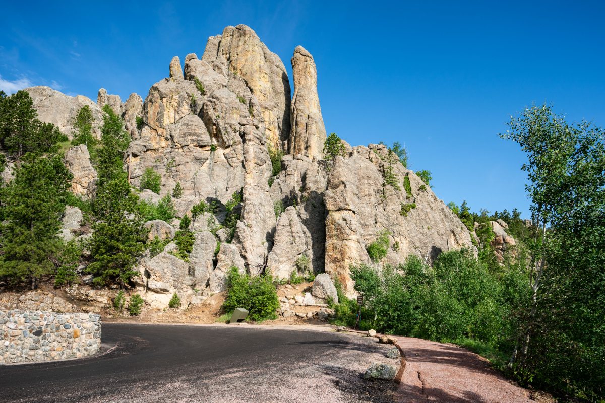
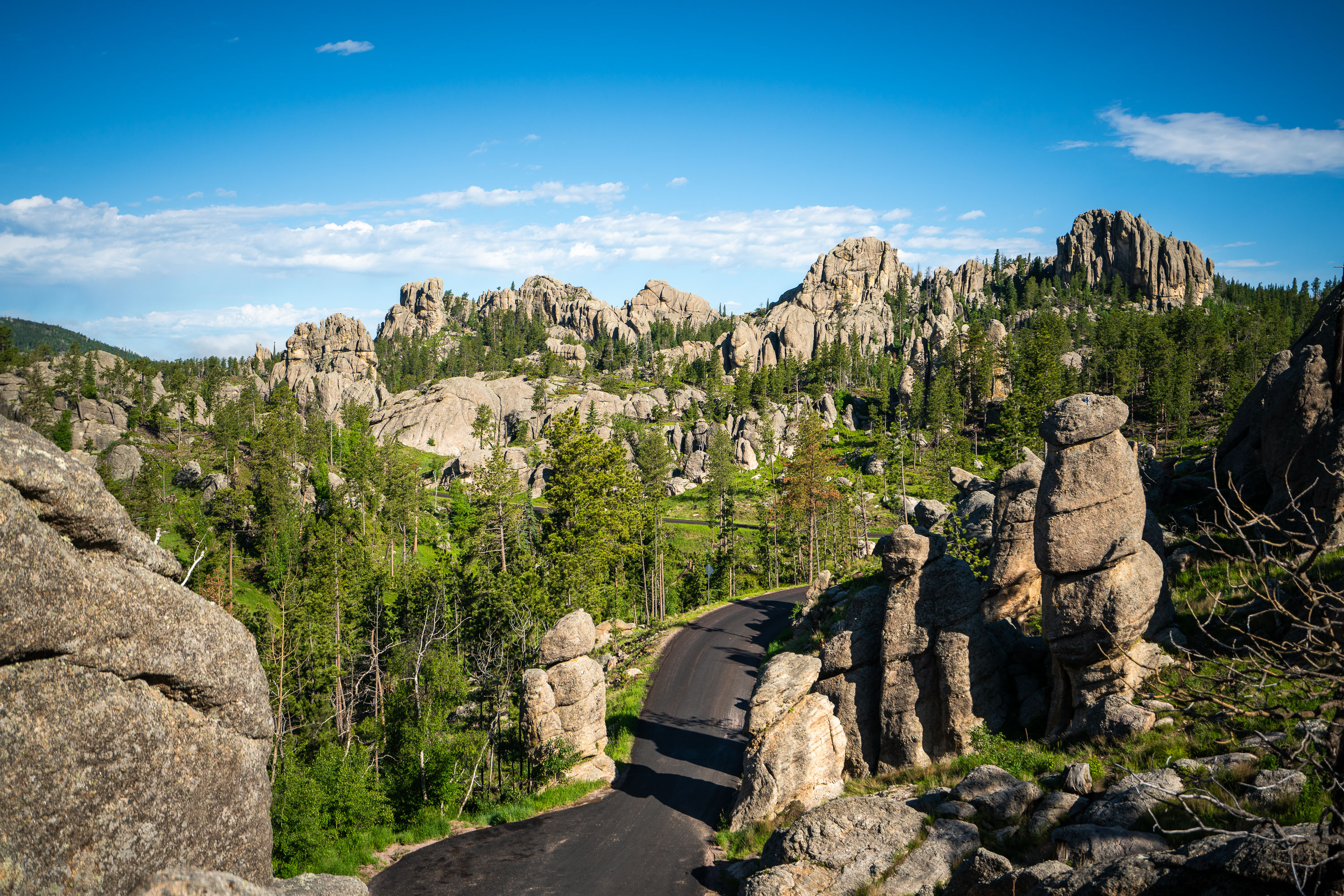
Road curves through granite spires and coniferous forest in the Black Hills near Needles Eye Tunnel.
Custer State Park's granite formations here are part of the Harney Peak granite, an igneous intrusion roughly 1.7 billion years old that has weathered into the tall, cracked spires and pinnacles known as the Needles. The Needles Highway, a 14-mile route completed in 1922 under the direction of South Dakota governor Peter Norbeck, winds through this section of the park to showcase the rock formations up close. Norbeck reportedly walked and mapped the road's course himself before construction, insisting the route bend around the granite rather than blast through it. The park itself, established in 1919, covers more than 71,000 acres and was named for Lieutenant Colonel George Armstrong Custer, who led an 1874 expedition into the Black Hills.

Granite Spires Along Needles Highway, Custer State Park
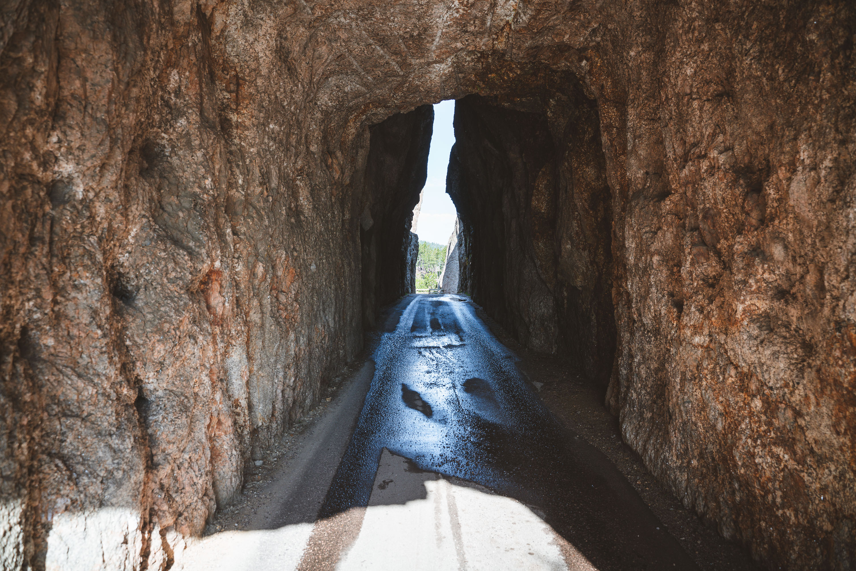
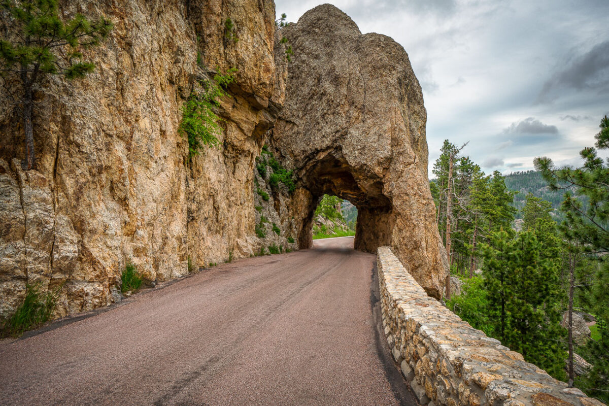
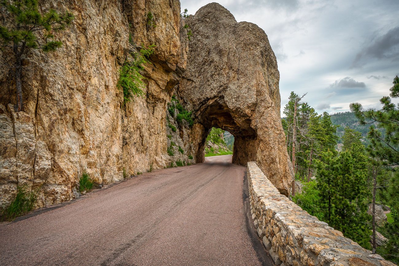
Needles Eye Tunnel and clouds
The Needles Eye Tunnel, completed in 1922, is a narrow, one-lane passage carved through a granite spire in Custer State Park, South Dakota. As part of the Needles Highway (SD 87), this engineering feat measures only 8 feet 4 inches wide and 11 feet 3 inches high, necessitating careful navigation for vehicles. The tunnel is named for an adjacent rock formation shaped by erosion, and it remains a key feature of one of the Midwest's most striking mountain drives. The highway connects the park's spire formations with routes leading to Sylvan Lake and Mount Rushmore.

Needles Eye Tunnel, Custer State Park, South Dakota