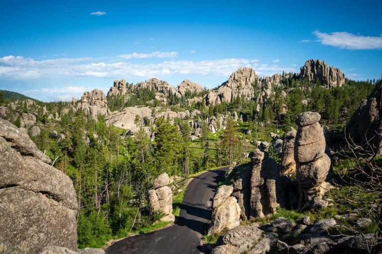
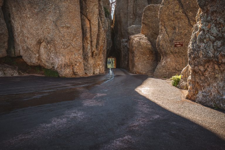
Needles Eye Tunnel Sign in Custer State Park South Dakota
Taken July 2019
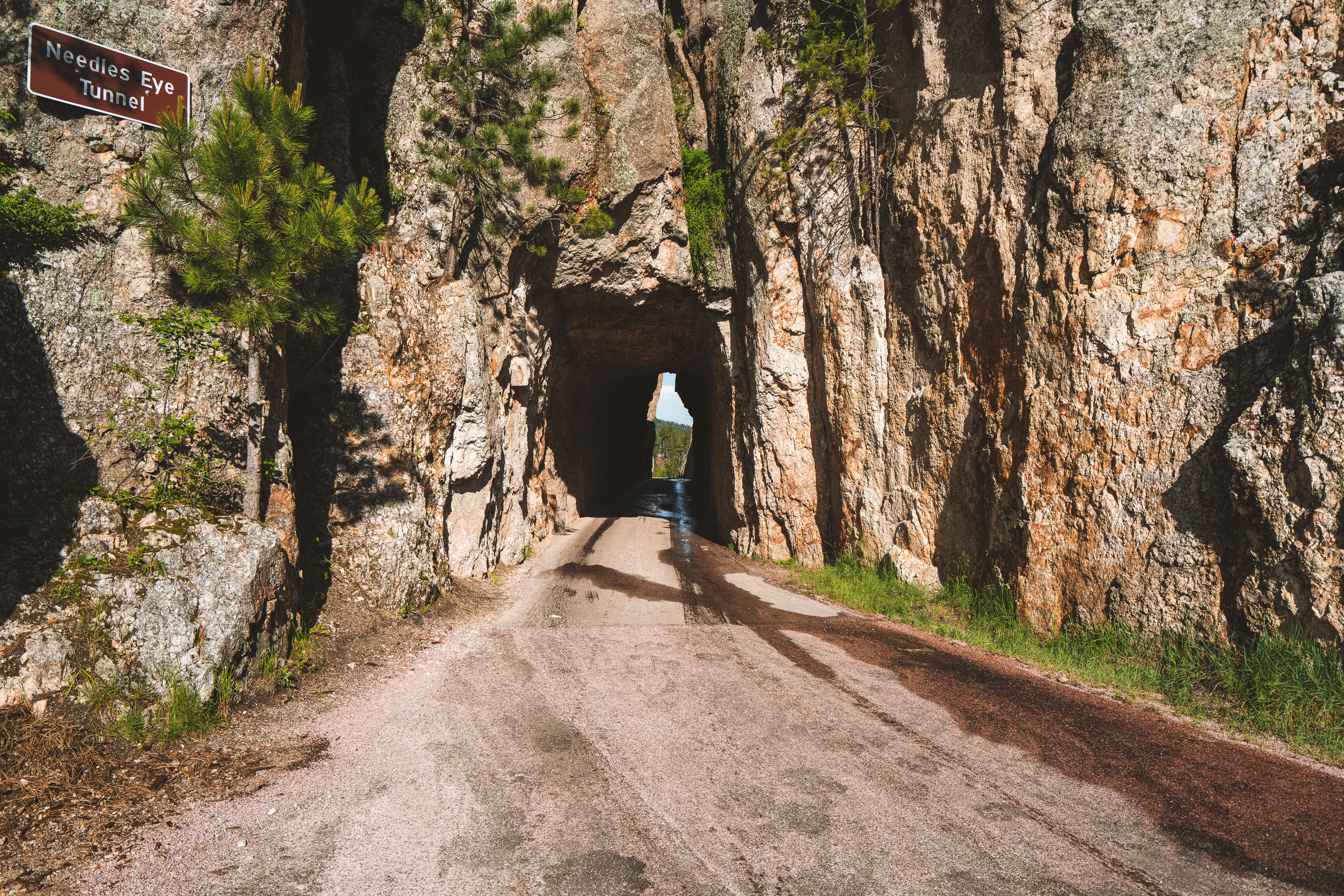
Needles Eye Tunnel carries the Needles Highway through a narrow granite passage in Custer State Park, South Dakota. The tunnel is just over 8 feet wide and roughly 12 feet high, dimensions that force larger vehicles like RVs and buses to find alternate routes. It takes its name from the nearby Needles, a cluster of slender granite spires shaped by millions of years of erosion. The road itself, completed in 1922, was championed by South Dakota Governor Peter Norbeck, who laid out much of its winding path on horseback to preserve the surrounding rock formations. Needles Highway remains one of the routes leading toward Mount Rushmore, connecting Custer State Park to the Black Hills beyond.
Taken July 2019
More from
Custer State Park
 Bison Bull Along Wildlife Loop Road, Custer State Park
Custer State Park's bison herd grazes across 71,000 acres of mixed-grass prairie and ponderosa pine forest in the Black Hills,…
 Foggy Trail to Black Elk Peak, Black Hills, South Dakota
Black Elk Peak, in the Black Hills of South Dakota, rises to 7,244 feet, making it the highest point in…
 Inside The Needles Eye Tunnel, Custer State Park, South Dakota
The Needles Eye Tunnel carries the Needles Highway through a granite spire in Custer State Park, South Dakota. Carved in…
 Black Elk Peak Trail Descent at Dusk, Black Hills, South Dakota
A hiker descends the trail from Black Elk Peak, the highest point in South Dakota, within Custer State Park. The…
 Bison Herd in Custer State Park, South Dakota
A herd of bison grazes in Custer State Park, South Dakota. Established in 1913, the park is home to one…
 Needles Highway, Custer State Park, South Dakota
Needles Highway winds for 14 miles through Custer State Park in South Dakota's Black Hills, connecting Sylvan Lake to the…