Costa Rica

65 photos · 2019–2022

65 photographs tagged Costa Rica, 2019–2022.
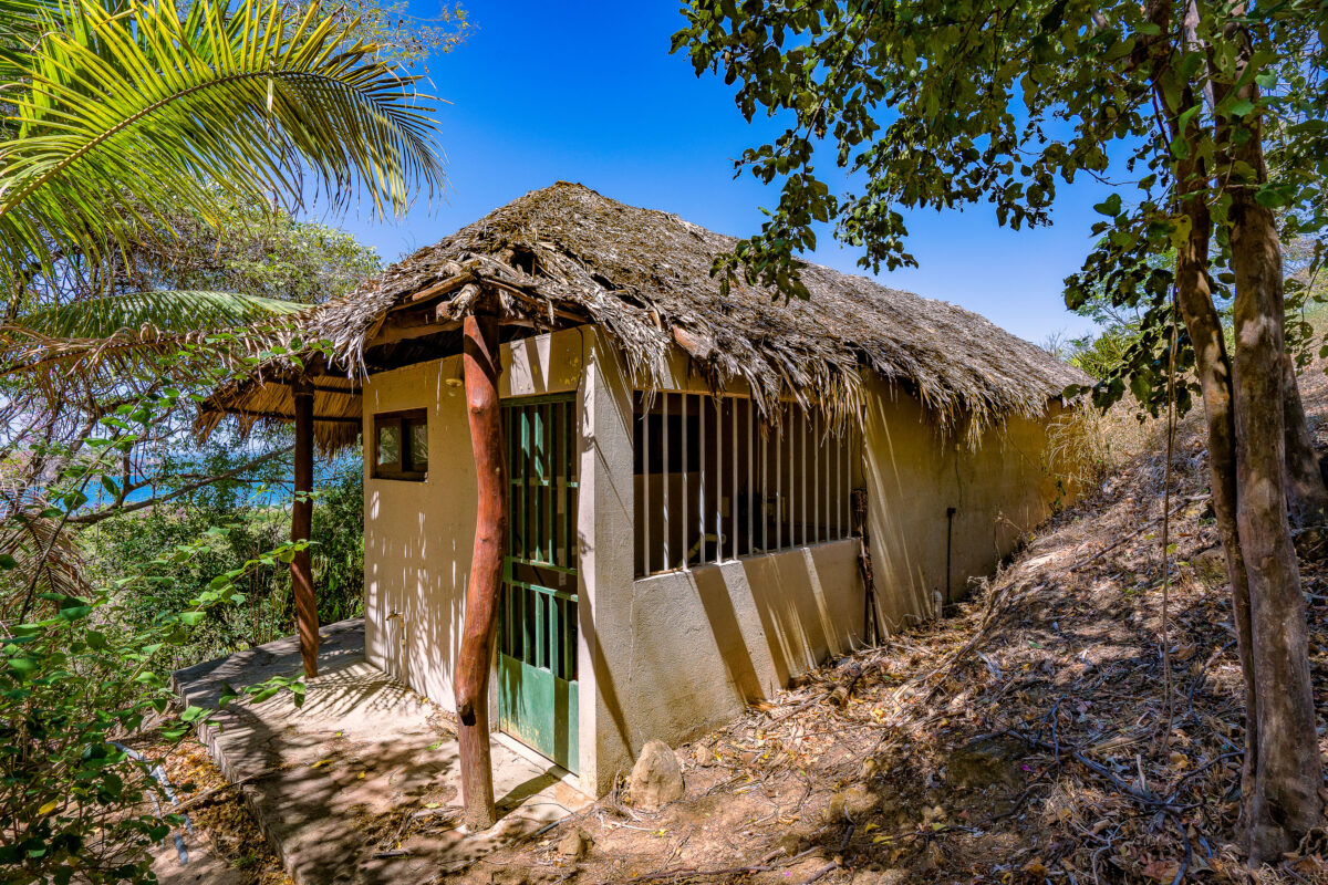
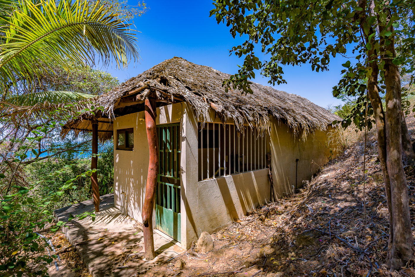
Abandoned thatched-roof hut at Santa Elena Resort on a wooded hillside in El Jobo, Guanacaste, Costa Rica.
Santa Elena Resort sits on a wooded hillside above the coast in El Jobo, a small community in Guanacaste province near the Nicaraguan border. The property has stood vacant for years, left to the surrounding palm and brush growth. This cabin's palapa-style roof, woven from dried palm thatch over a wooden frame, a building technique common to Guanacaste's coastal lodges. Guanacaste's dry tropical climate, with its long rainless season, allows palm-thatch roofing to last for several years before it needs replacing.

Palapa Cabin at Santa Elena Resort, El Jobo
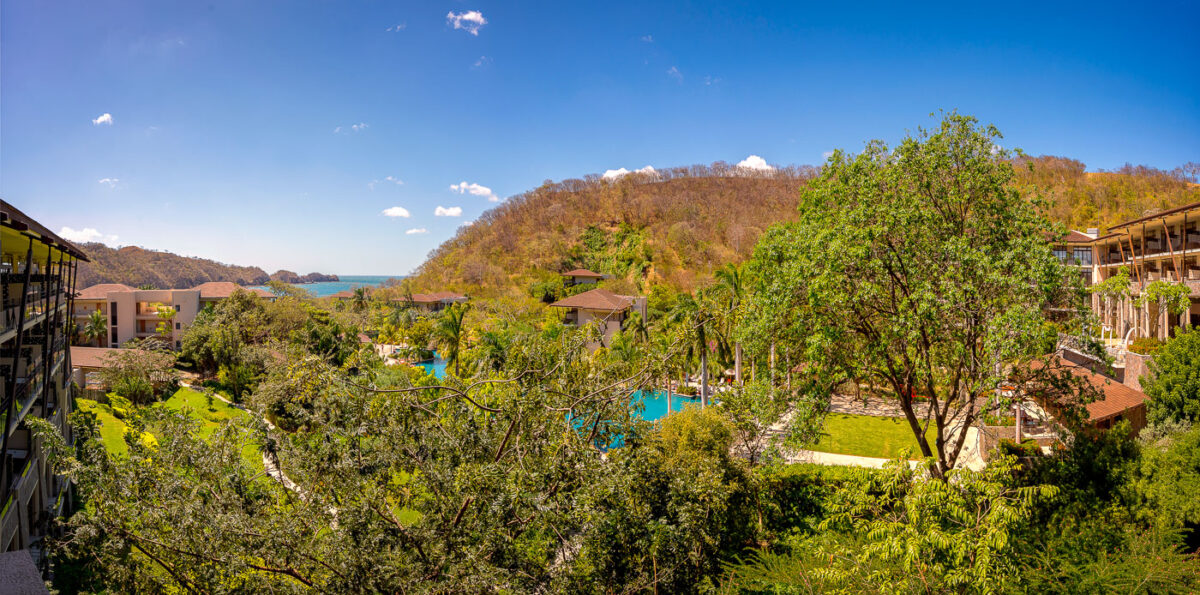
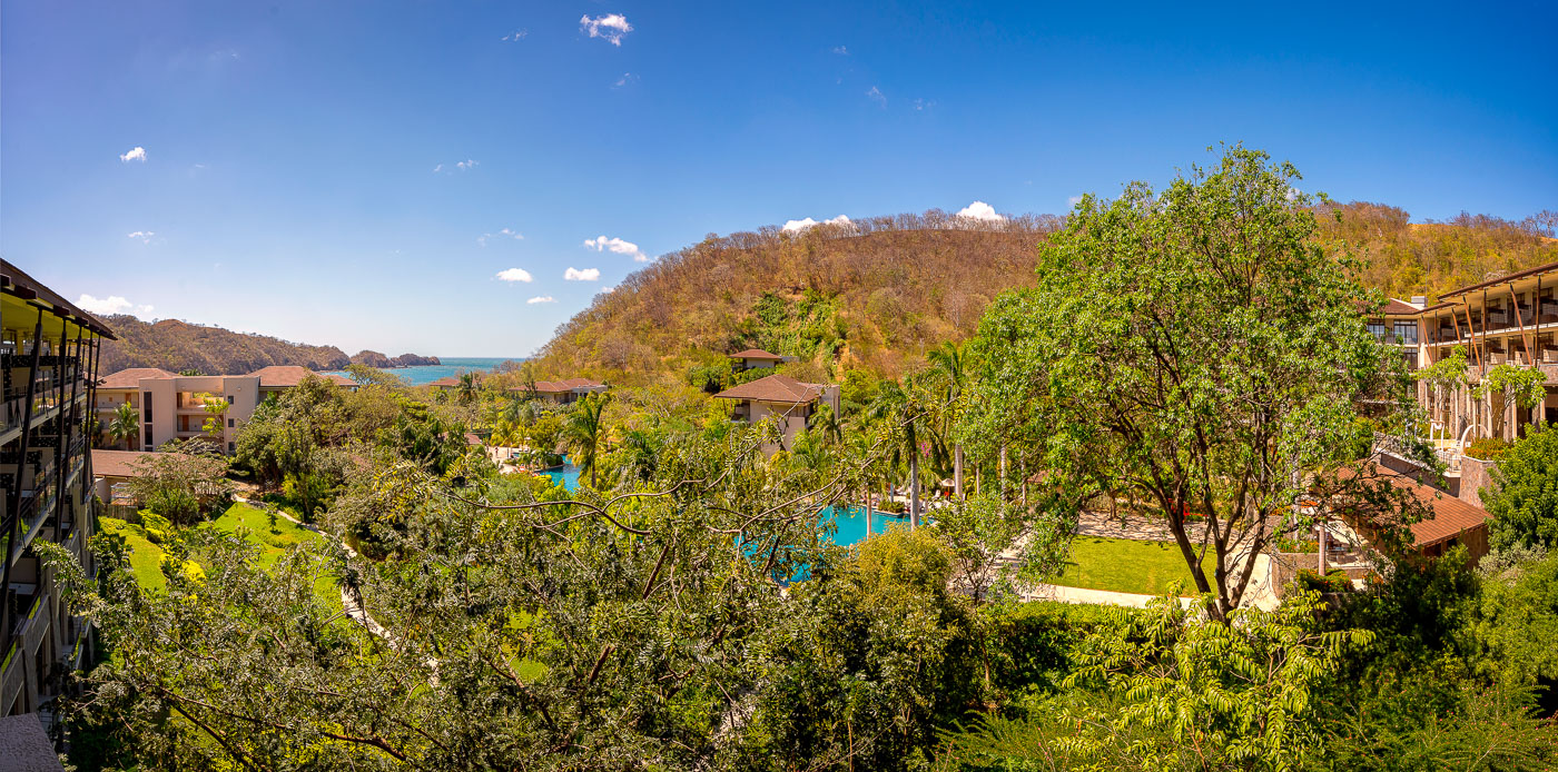
Dreams Las Mareas Resort overlooks Jobo Bay and the Pacific Ocean in Guanacaste, Costa Rica.
Dreams Las Mareas Resort sits along Jobo Bay on Costa Rica's Pacific coast, near the town of La Cruz close to the Nicaraguan border. The all-inclusive property opened in 2014, part of an effort to extend beach tourism north of more established Guanacaste destinations like Tamarindo and Papagayo. Its buildings and gardens step down a forested hillside toward the bay below.

Hillside Grounds of Dreams Las Mareas Resort, Guanacaste
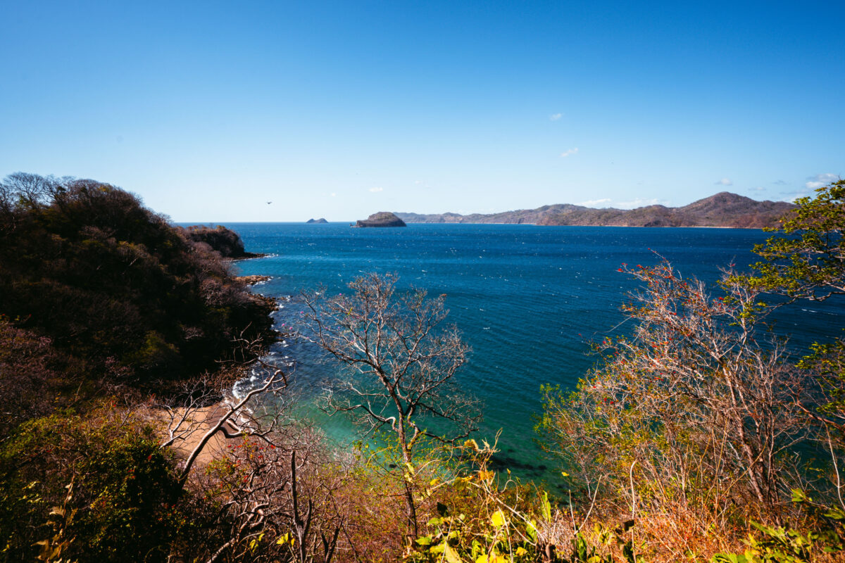
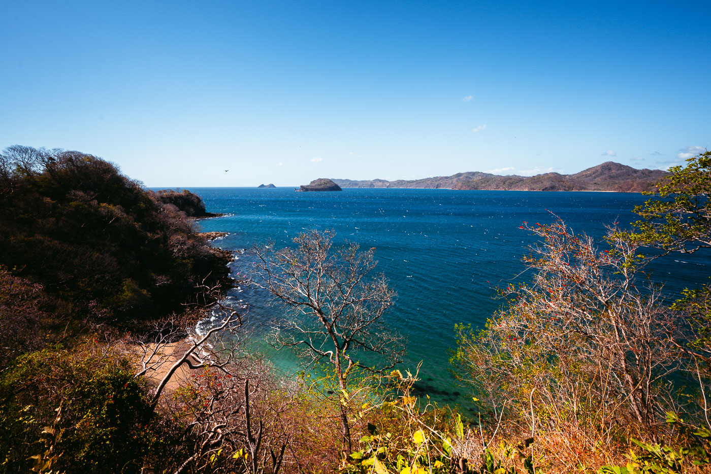
Rocky islets and the Pacific coastline visible from Mirador Junquillal overlook in Costa Rica.
Punta Junquillal sits along the Pacific coast of Guanacaste Province, within the Nicoya Peninsula's dry tropical forest zone. The small rock islets offshore are typical of this stretch of coastline, formed by volcanic rock resistant to erosion while softer surrounding material wore away over time. The surrounding dry forest sheds its leaves seasonally, usually from December through April, as trees conserve water during Guanacaste's pronounced dry season. This region's combination of rocky points and sheltered coves has made it a draw for both small-scale fishing communities and coastal tourism in recent decades.

Small Islets Off Punta Junquillal, Guanacaste

Wind turbines on pastureland with Volcán Cacao volcano rising in the background in Costa Rica's Guanacaste Province.
Volcán Cacao rises within Costa Rica's Área de Conservación Guanacaste, a UNESCO World Heritage Site that protects one of the last large tracts of tropical dry forest in Central America. The dormant volcano reaches 1,659 meters and marks the northern end of the Guanacaste Volcanic Range. Wind turbines cluster along its lower slopes as part of the wind farms built across northwestern Guanacaste to capture the strong trade winds that funnel through the region each dry season, roughly December through April. Costa Rica developed some of Central America's first commercial wind projects in this corridor beginning in the 1990s, drawn by the same seasonal winds that once shaped the area's cattle ranching economy.

Wind Turbines Along the Base of Volcán Cacao

Wind turbines stand on rolling hills in Guanacaste Province, Costa Rica.
Guanacaste's wind farms sit along the mountain corridors near the Tempisque River basin, where steady northeast trade winds funnel through gaps in the Cordillera de Guanacaste. The region's wind-power development began in the early 1990s near Tilarán, among the first utility-scale wind installations in Latin America. Costa Rica's state utility, ICE, along with private operators, has since expanded turbine arrays across these hills to feed the national grid, which runs on renewable sources for most of the year. The consistent wind pattern that draws turbines to this landscape is the same seasonal airflow that makes nearby Lake Arenal a destination for windsurfing.

Wind Turbines Above the Tempisque Valley, Guanacaste

A brown cow faces the camera in a pasture in Alajuela Province, Costa Rica.
Alajuela Province sits in Costa Rica's Central Valley and northern lowlands, an area long given over to coffee farms, sugarcane, and cattle ranching. Brahman and Brahman-cross cattle, recognizable by their drooping ears and loose dewlap, are common on small Costa Rican farms because the breed tolerates heat and humidity better than European cattle. Barbed-wire fencing of the kind used here is the standard method for dividing pasture land on family-run fincas throughout the region.

Young Cow at a Farm Fence in Alajuela Province

An unpaved gravel road winds through dense forest in Alajuela Province, Costa Rica.
Alajuela Province spans the northern and central highlands of Costa Rica, stretching from the Central Valley near San José up to the Nicaraguan border. Much of its rural interior consists of small farms and cattle ranches connected by unpaved roads like this one, cut through secondary-growth forest that has reclaimed former pastureland over recent decades.

Gravel Farm Road Through Alajuela Province Forest
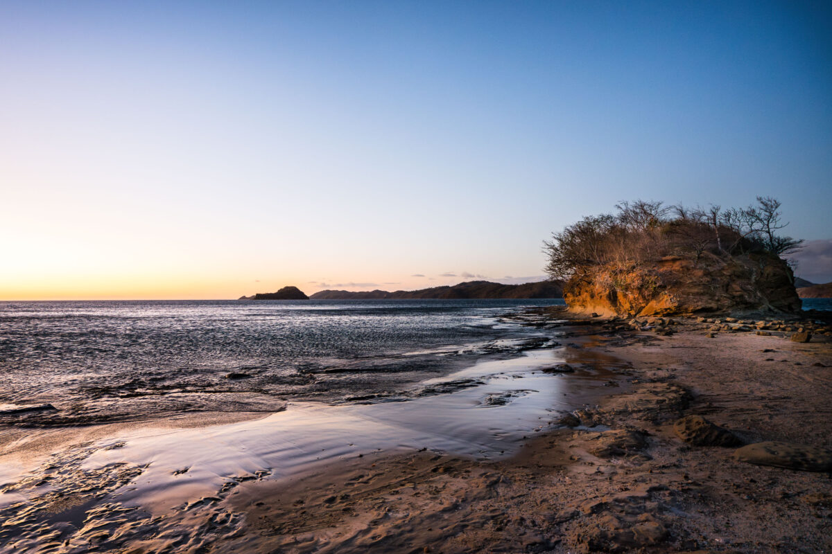
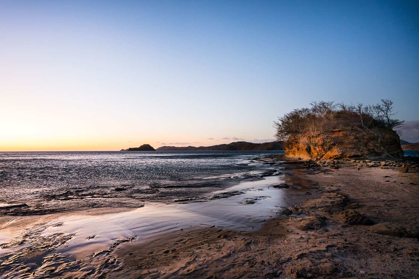
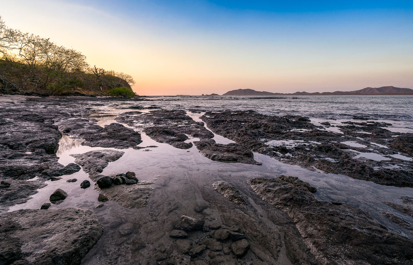
Rocky shoreline with tide pools and a sandstone outcrop at Playa Escondida, Guanacaste, Costa Rica at sunset.
Playa Escondida sits along the Guanacaste coast of Costa Rica, a stretch of the Pacific shoreline known for its rocky headlands and tide-exposed sandbars. The beach's name translates to "hidden beach," a nod to its secluded position away from the region's more developed tourist strips like Tamarindo and Playas del Coco. Low tide here exposes flat sand channels and rock outcrops that connect to the forested bluffs along the shore, conditions shaped by the area's pronounced tidal swings common to Guanacaste's Pacific-facing beaches.

Sunrise Over the Rocky Shore of Playa Escondida
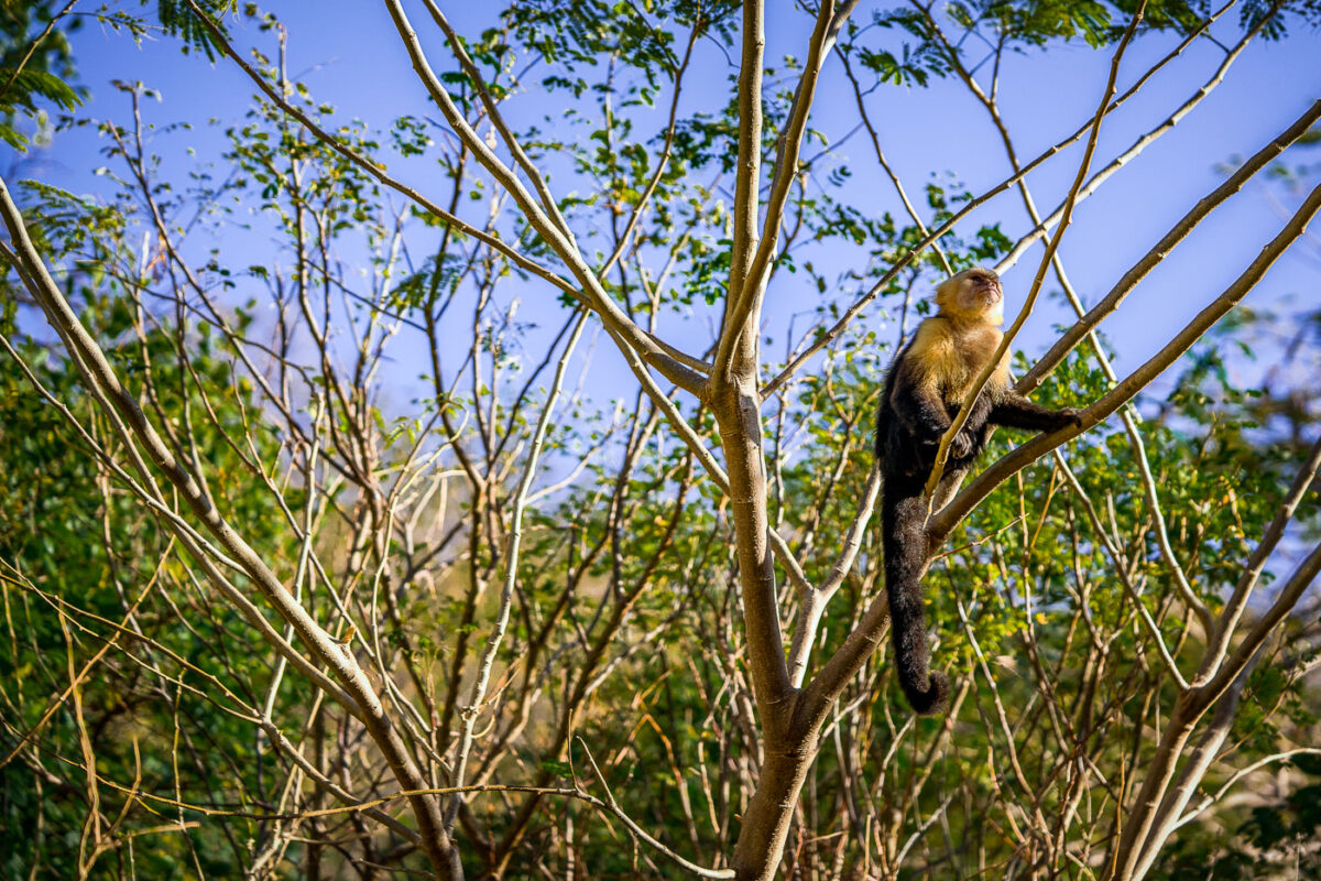
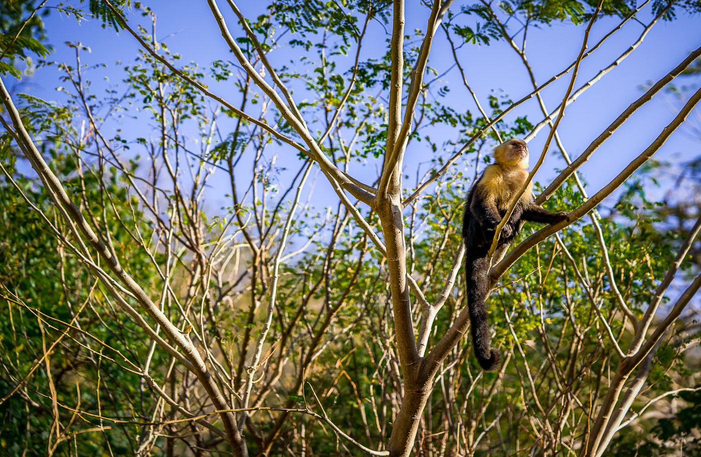
A white-faced capuchin monkey perches on a tree branch in Jobo Bay, Costa Rica.
The white-faced capuchin (Cebus imitator) ranges throughout the dry forests of Guanacaste, including the coastal scrub around Jobo Bay near the Nicaraguan border. Troops typically number between ten and twenty animals and spend most daylight hours foraging in the canopy for fruit, insects, and small vertebrates. The species is known for using tools, including rocks and sticks, to crack open nuts and shellfish — a trait documented in only a handful of primate species outside the great apes. Guanacaste's tropical dry forest, where this monkey was ed, is one of the most endangered forest types in the Americas, with less than two percent of its original range remaining intact.

White-Faced Capuchin Scanning the Treetops at Jobo Bay
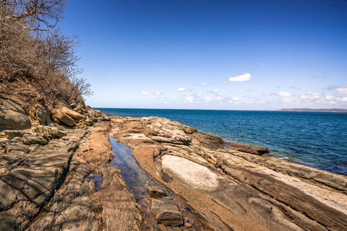
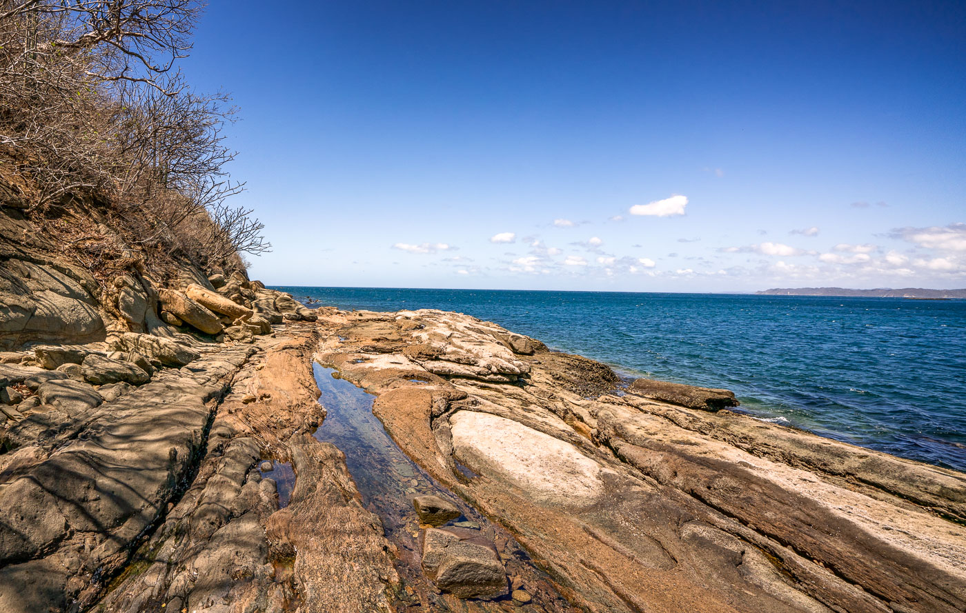
Rocky shoreline with tidal pools meets the Pacific Ocean at Jobo Bay in Guanacaste, Costa Rica.
Jobo Bay sits along the Pacific coast of Guanacaste Province, near the small town of El Jobo close to the Nicaraguan border. The shoreline here is defined by flat, stratified rock formations that form natural tidal pools as the water recedes. Guanacaste's dry forest climate, with its long dry season, leaves the coastal vegetation sparse and brush-like compared to the greener regions farther south in Costa Rica.

Rocky Coastline of Jobo Bay Near El Jobo, Guanacaste
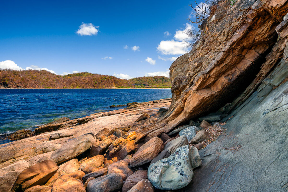
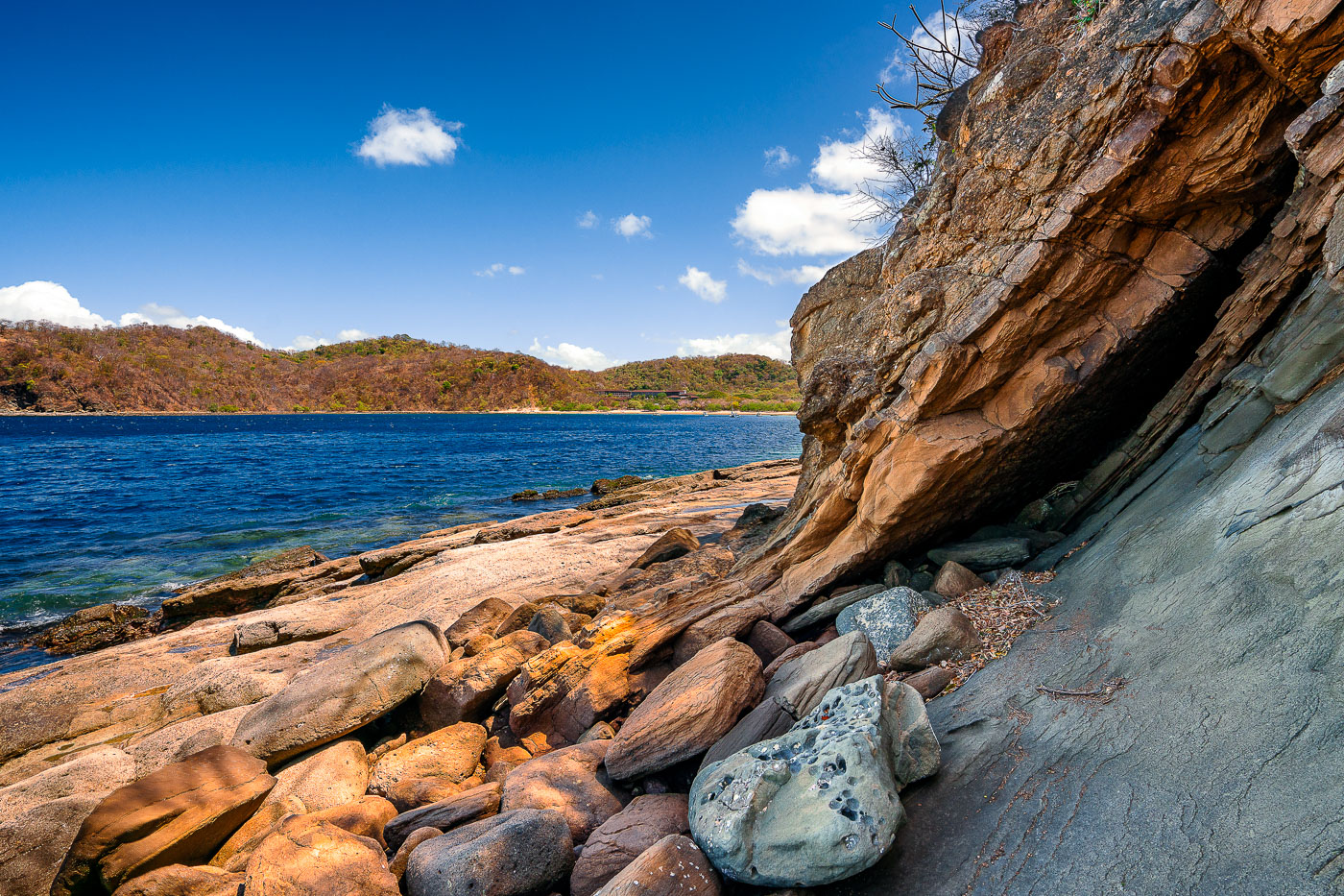
Sandstone rock overhang and boulders line the shoreline of Jobo Bay in Guanacaste, Costa Rica.
Jobo Bay sits along Costa Rica's northern Guanacaste coast, near the Nicaraguan border, in one of the country's driest tropical regions. The shoreline here is shaped by volcanic and sedimentary rock formations typical of the Santa Elena Peninsula, where tectonic uplift has exposed layered stone along the water's edge. Guanacaste's dry forest climate means much of the surrounding vegetation turns brown for several months each year, a contrast to the deep greens found elsewhere in Costa Rica. The bay lies within a sparsely developed stretch of coastline still used mainly by local fishing communities.

Boulders Beneath a Rock Overhang at Jobo Bay
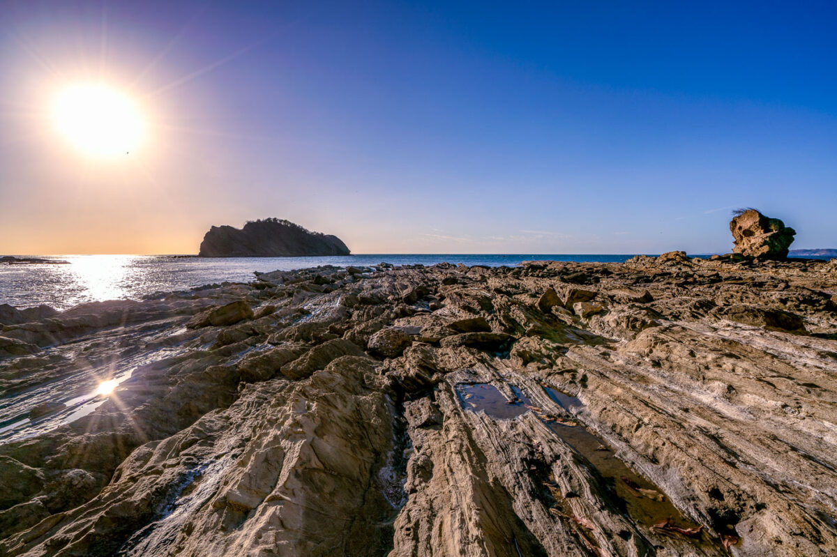
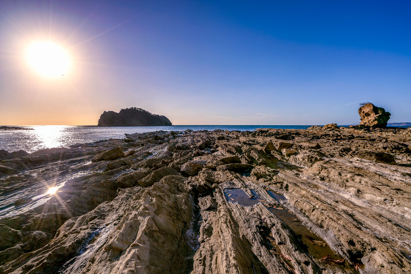
Rocky shoreline with layered stone formations and a sea stack at Jobo Bay in Guanacaste, Costa Rica.
Jobo Bay sits along the Santa Elena Peninsula in northern Guanacaste, near Costa Rica's border with Nicaragua. The shoreline's folded rock shelves formed from ancient volcanic flows that run along this stretch of the Pacific coast. Steady offshore winds common to the area have made the region a site for wind-energy development, with turbine farms built on the hills above the coastline. At low tide, the exposed rock platforms create shallow pools and channels along the bay's edge.

Sunset Over the Rocky Shoreline of Jobo Bay
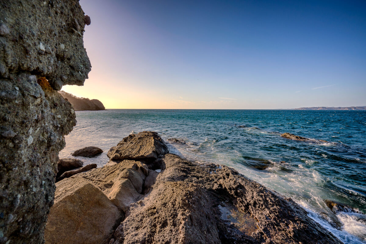
Rocky coastal outcrop overlooks Jobo Bay and the Pacific Ocean at sunset in Guanacaste province, Costa Rica.
Jobo Bay sits on Costa Rica's Pacific coast in Guanacaste Province, near the Nicaraguan border. The shoreline here is volcanic in origin, part of the same geologic activity that shaped the Guanacaste mountain range inland. Guanacaste's coast is drier than much of the rest of Costa Rica, with a pronounced dry season that leaves its tropical dry forests deciduous for part of the year. The province's beaches and bays, including this one, draw divers and anglers for the rocky reefs and sheltered coves common along this stretch of coastline.

Volcanic Rock Formation Along Jobo Bay, Guanacaste
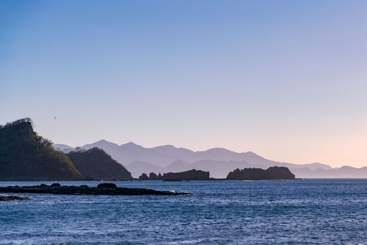
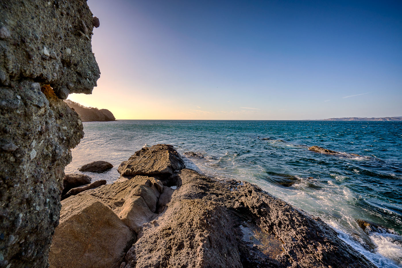
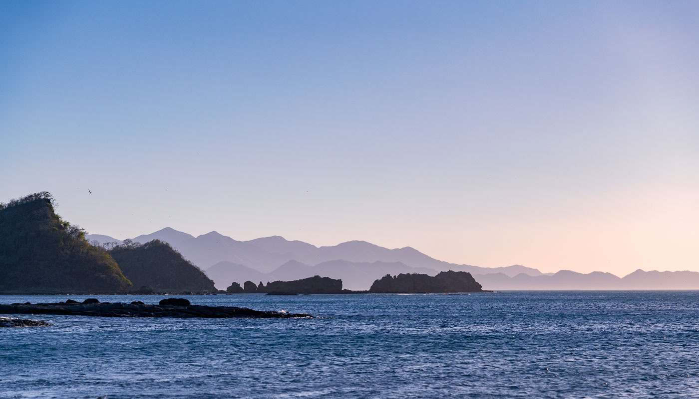
Rocky coastline with forested headlands overlooks Jobo Bay with hazy mountains across the Pacific Ocean in Guanacaste Province, Costa Rica.
Jobo Bay sits along the Pacific coast of Guanacaste Province in northwestern Costa Rica, near the small community of El Jobo. The bay forms part of the Santa Elena Peninsula's coastline, where volcanic hills meet the sea in a series of rocky points and small offshore islets. This stretch of coast lies within the Guanacaste Conservation Area, a UNESCO World Heritage Site that protects dry tropical forest and marine habitat along the shoreline. Guanacaste's Pacific coast experiences a pronounced dry season, when distant hills often take on a hazy, layered appearance as humidity and dust accumulate in the air.

Layered Coastal Ridges at Jobo Bay, Guanacaste

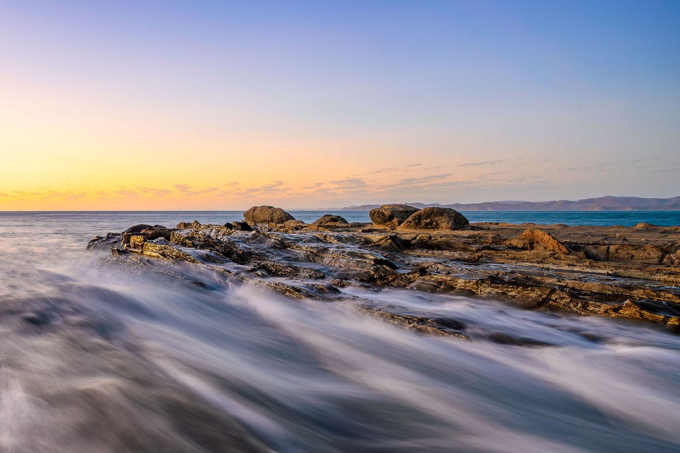
Waves wash over rocky outcrops along the Pacific coastline at Jobo Bay in Guanacaste, Costa Rica, at sunset.
Jobo Bay sits on Costa Rica's northern Pacific coast in Guanacaste province, near the village of El Jobo. The shoreline here is built on exposed sedimentary rock shelves, layered formations that erode unevenly and create the shallow channels where incoming surf collects and drains. Guanacaste's coast lies within Costa Rica's tropical dry forest zone, where lower rainfall than the rest of the country leaves rock formations like these less obscured by vegetation. The bay faces open ocean swell, with no major islands or reefs offshore to break the wave action before it reaches the rocks.

Sunset Surf Over the Rock Shelf at Jobo Bay
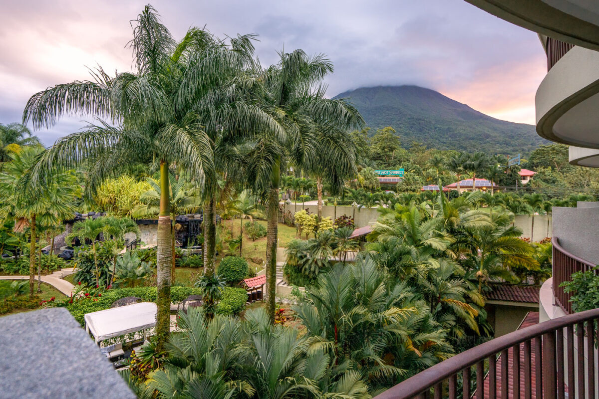
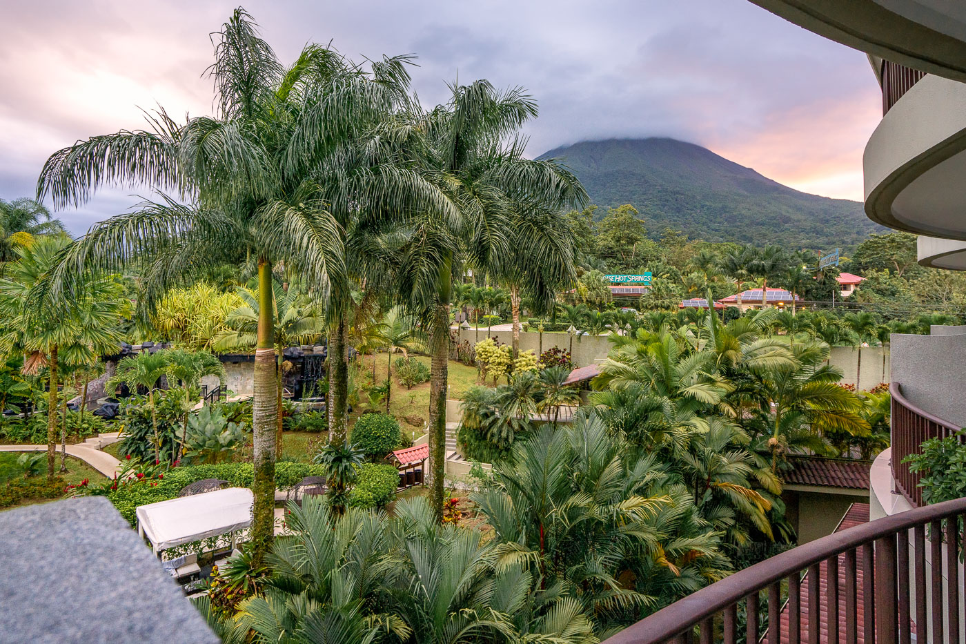
Arenal Volcano rises behind the Royal Corin Thermal Water and Spa Resort near La Fortuna in Costa Rica's Alajuela Province.
Arenal Volcano rises above the Royal Corin Thermal Water and Spa Resort near La Fortuna in Costa Rica's Alajuela Province. The stratovolcano, at 1,670 meters, was continuously active from 1968 until its eruptive activity ceased in 2010, making it one of Central America's most studied volcanoes during that period. Its near-symmetrical cone sits within Arenal Volcano National Park, established in 1991 to protect the surrounding forest and wildlife. La Fortuna, the town at the volcano's base, grew largely around tourism tied to the volcano's decades of visible activity.

Royal Corin Resort Gardens Beneath Arenal Volcano

A moss-covered fallen log lies on a dirt trail through the Monteverde Cloud Forest Reserve in Costa Rica.
The Monteverde Cloud Forest Reserve sits along the Cordillera de Tilarán in northwestern Costa Rica, straddling the Continental Divide between the Pacific and Caribbean watersheds. Established in 1972 by the Tropical Science Center, the reserve protects roughly 10,500 hectares of forest across six distinct ecological zones. Elevations within the reserve range from about 1,400 to 1,800 meters, keeping the canopy wrapped in moisture-laden clouds for much of the year. That constant humidity supports one of the densest concentrations of epiphytes in Central America, with orchids, bromeliads, and mosses covering tree trunks and exposed roots along the trail network.

Root-Covered Trail in the Monteverde Cloud Forest Reserve
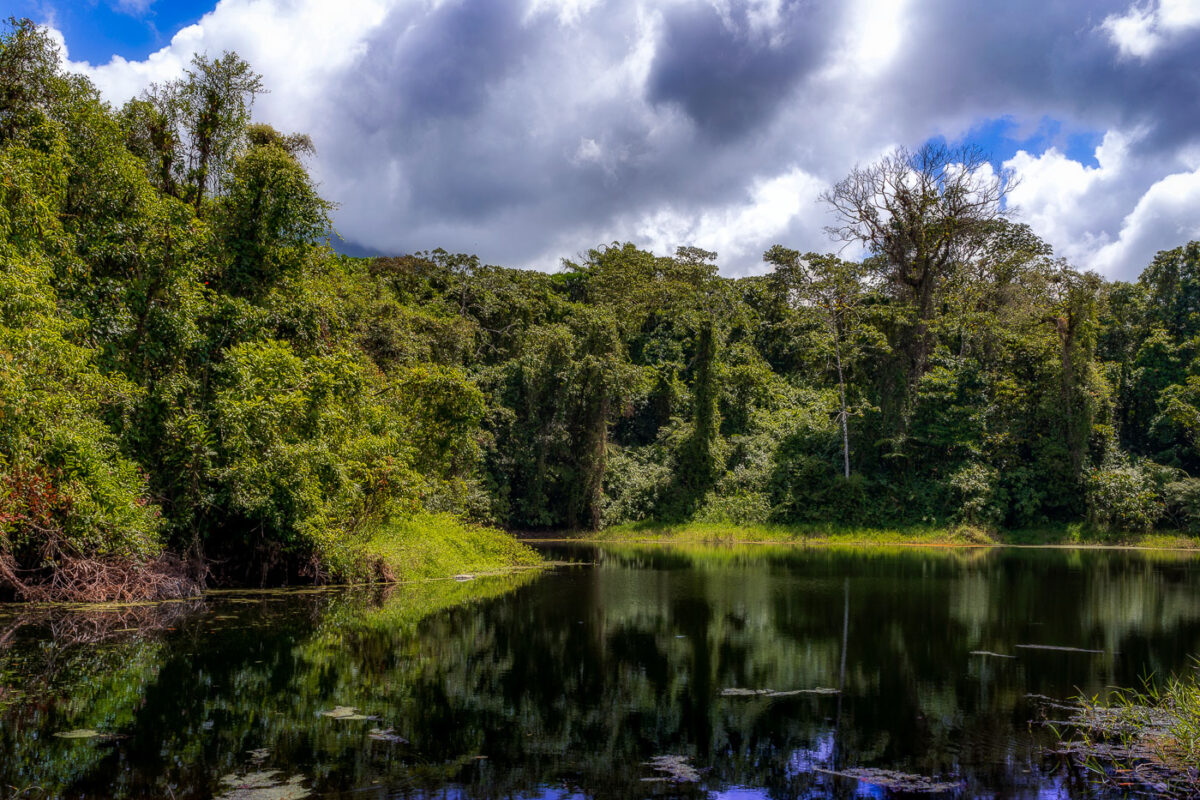
A still lagoon bordered by dense cloud forest vegetation at Arenal Volcano in Costa Rica.
This lagoon sits along the Arenal 1968 Trail, a network of paths at Arenal Volcano National Park that cross ground reshaped by the volcano's major eruption on July 29, 1968. That eruption destroyed the villages of Tabacón, Pueblo Nuevo, and San Luis and killed around 87 people, burying the surrounding terrain under ash and lava. The trail network, maintained by the national park, now loops through secondary forest that has grown back over the old flow. Arenal itself rises to 1,670 meters and was Costa Rica's most active volcano for decades before entering its current dormant phase in 2010.

Forest-Rimmed Lagoon on the Arenal 1968 Trail

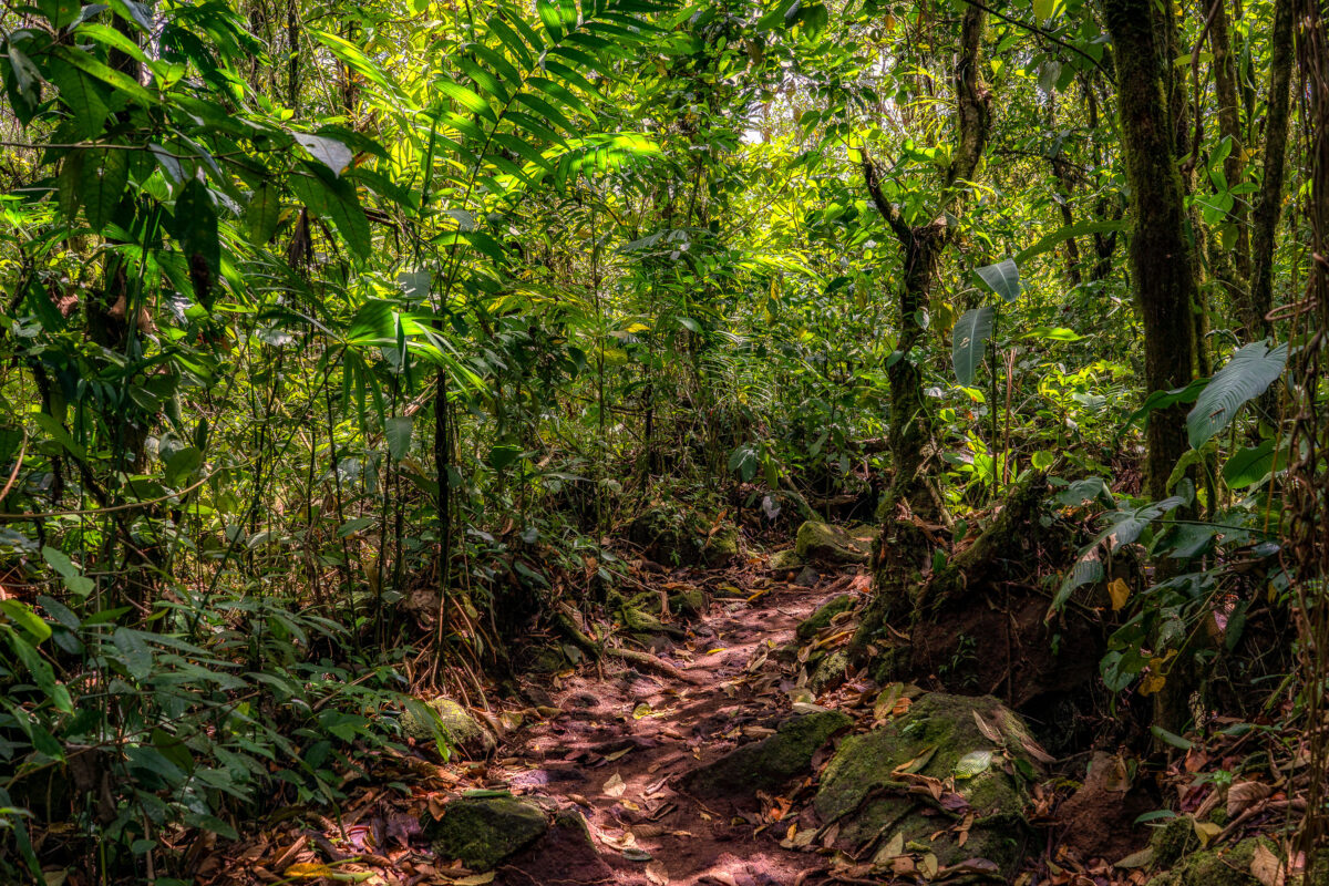
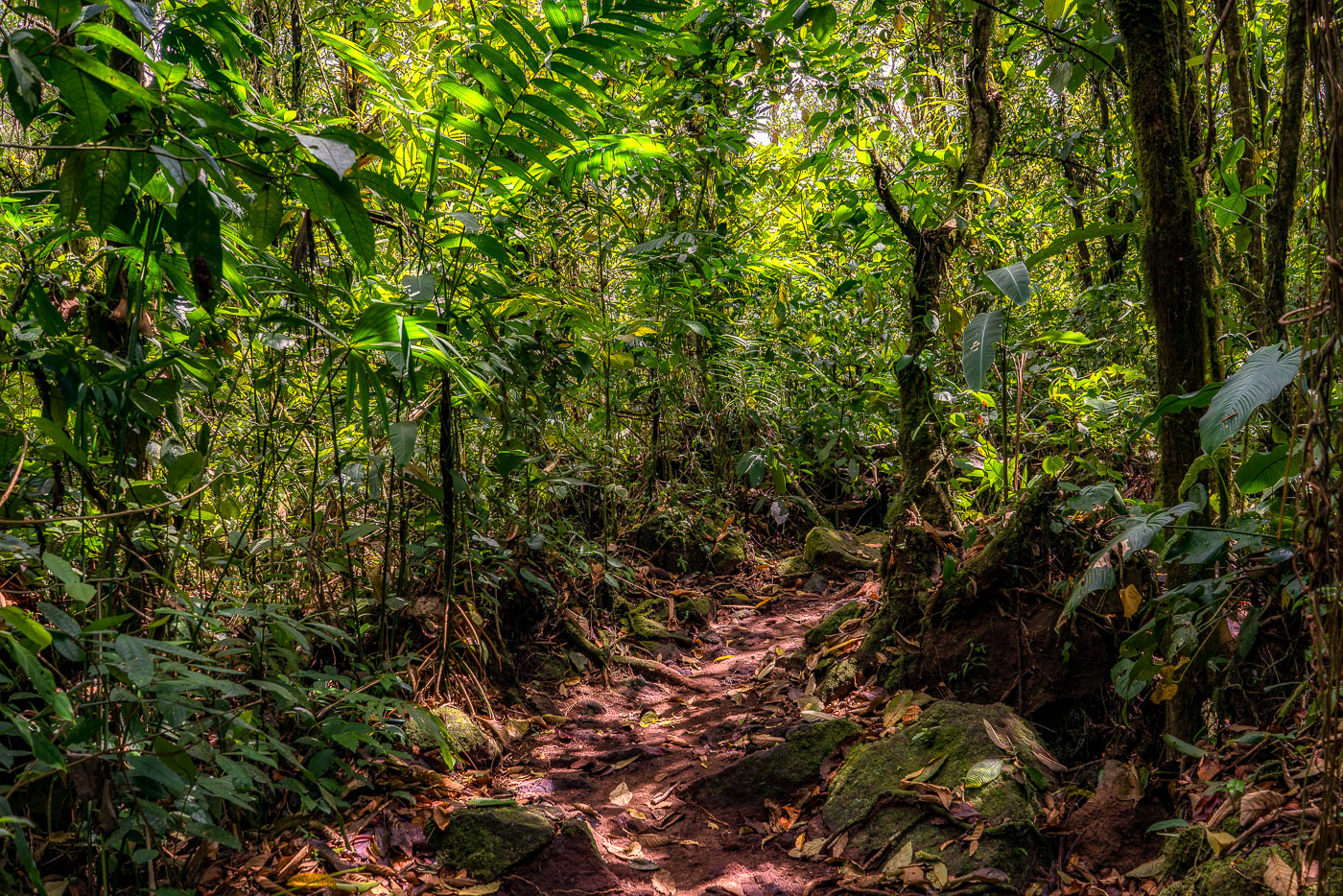
A hiking trail winds through dense cloud forest canopy over volcanic rock and roots near Arenal Volcano in Costa Rica.
This trail winds through forest that reclaimed the lava field left by Arenal Volcano's major 1968 eruption, which destroyed the nearby villages of Tabacón, Pueblo Nuevo, and San Luis and killed dozens of residents. Volcanic rock from that eruption still lies beneath the leaf litter and exposed roots along the route. Arenal erupted almost continuously from 1968 until 2010, when it entered its current dormant phase, allowing forest to regenerate across much of the flow.

Hiking Path Through Regrown Forest on Arenal’s 1968 Lava Flow

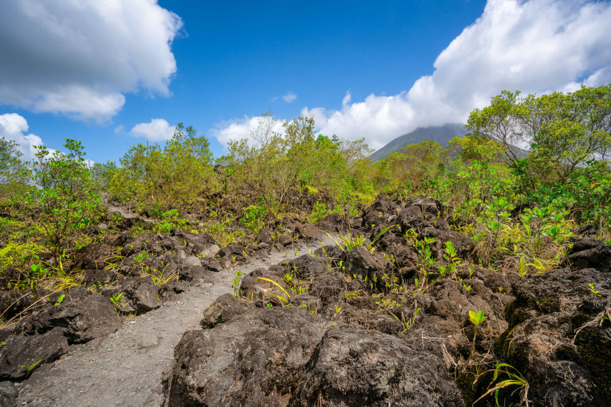
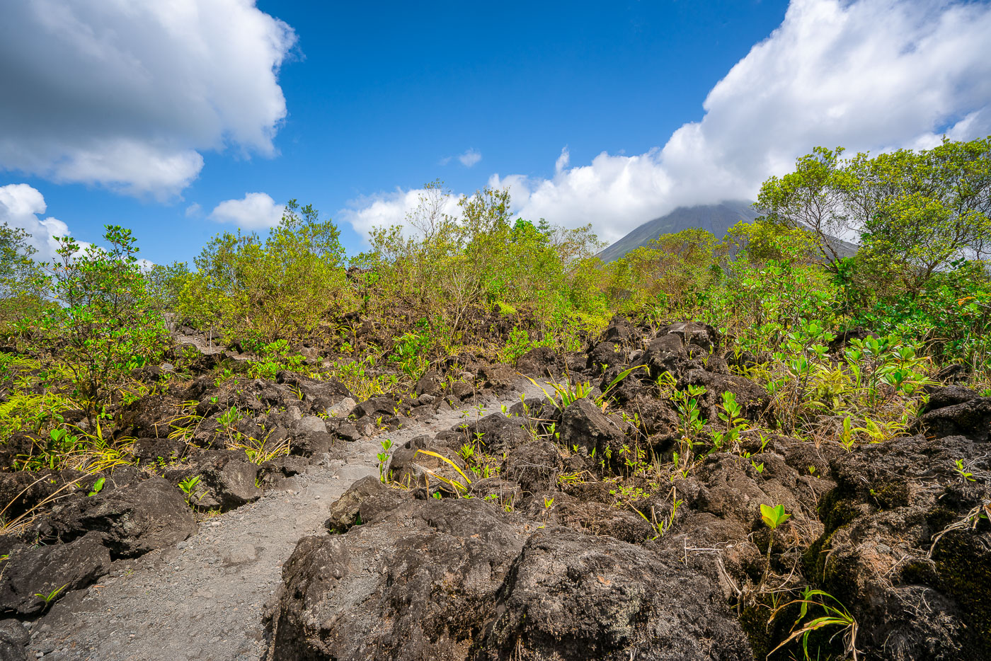
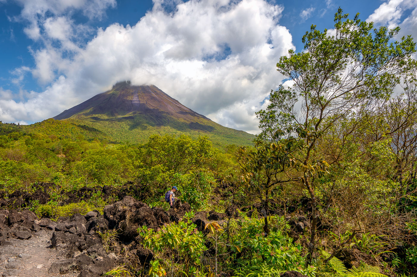
A hiking trail crosses the 1968 lava field near Arenal Volcano in Alajuela Province, Costa Rica, with vegetation reclaiming volcanic rock.
Arenal Volcano erupted continuously from 1968 to 2010, sending lava flows down its western and southern flanks that reshaped the landscape near La Fortuna. The 1968 eruption began on July 29 after centuries of dormancy, killing more than 80 people and burying the villages of Tabacón, Pueblo Nuevo, and San Luis. Arenal Volcano National Park, established in 1991, now protects the cooled lava fields, and trails here cross the hardened rock left by that eruption. The volcano's symmetrical cone rises to about 1,670 meters and remains one of the most studied volcanic sites in Central America.

Clouds Over Arenal Volcano Along the 1968 Lava Trail

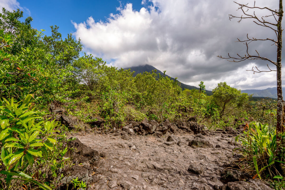
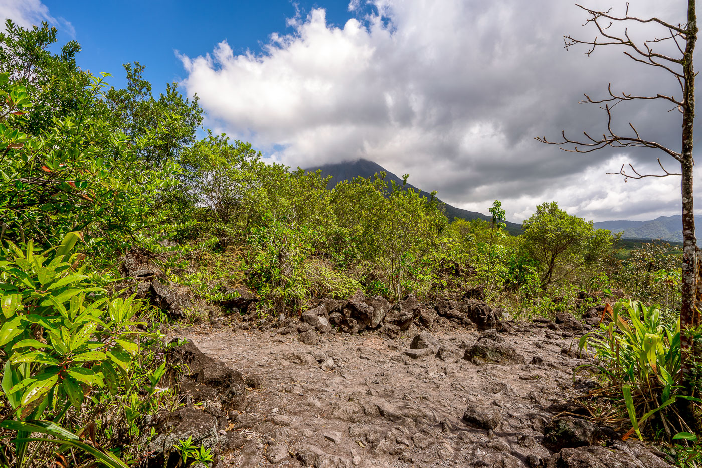
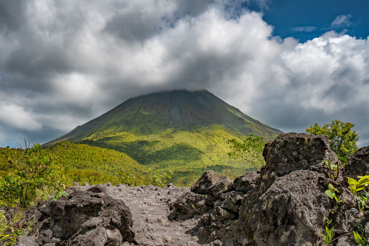
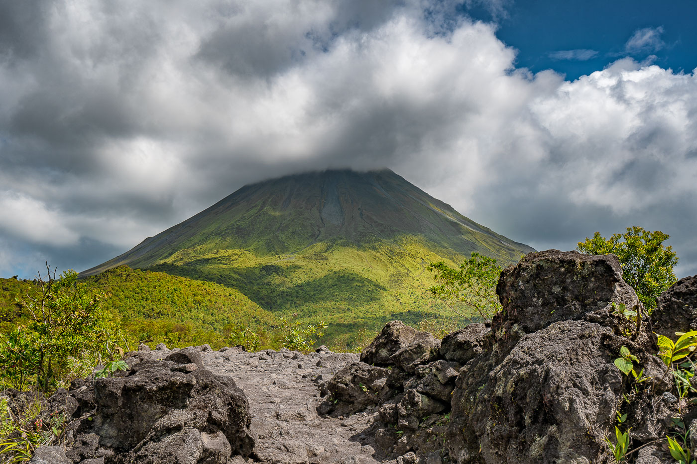
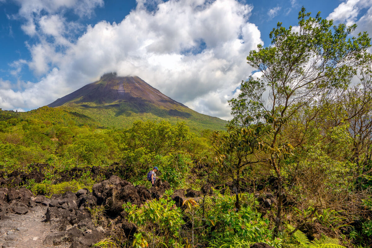
A hiking trail crosses dark volcanic rock and regenerating vegetation with Arenal Volcano rising in the background near La Fortuna, Costa Rica.
Arenal Volcano last erupted in 1968, sending a pyroclastic flow and lava across its western and southern flanks that buried several farms and killed dozens of people. The eruption ended a dormancy of roughly 400 years and triggered intermittent activity that continued until 2010. The rock fields near La Fortuna consist of andesitic lava deposited during that eruptive period, now colonized by secondary forest growth. At 1,657 meters, Arenal remains Costa Rica's most studied volcano and anchors Arenal Volcano National Park, established in 1991.

Path Across Arenal’s Lava Rock Toward the Volcano

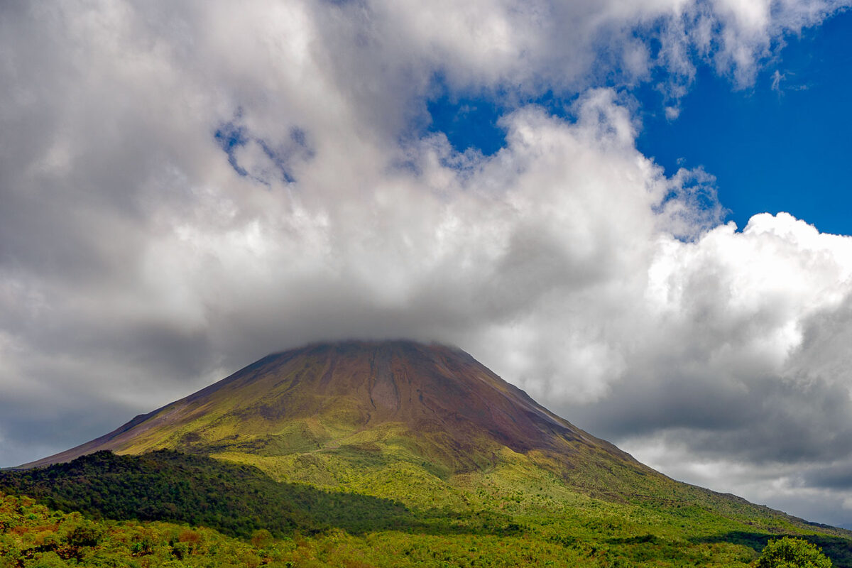
Arenal Volcano's symmetrical cone rises above lava fields and tropical vegetation in Costa Rica's Alajuela Province.
Arenal Volcano reaches 1,657 meters above the lowlands of Alajuela Province near La Fortuna, its conical shape long cited as one of the most symmetrical stratovolcano profiles in the Americas. The volcano had been dormant for centuries before an eruption on July 29, 1968, destroyed the villages of Tabacón and Pueblo Nuevo; it then remained active, with lava flows and rock ejections continuing until 2010. Arenal Volcano National Park, established in 1991, protects roughly 12,000 acres of rainforest and hardened lava fields at the mountain's base. Costa Rica's Volcanological and Seismological Observatory continues to monitor the peak, which last erupted more than a decade ago.

Arenal Volcano Rising Above a Lava Rock Path

Arenal Volcano rises above forested foothills under partly cloudy skies in northwestern Costa Rica.
Arenal Volcano stands 1,657 meters tall in north-central Costa Rica, within Arenal Volcano National Park near the town of La Fortuna. A stratovolcano formed by the collision of the Cocos and Caribbean tectonic plates, it lay dormant for centuries before a sudden eruption in 1968 destroyed the nearby villages of Tabacón and Pueblo Nuevo. Arenal remained active for more than four decades, with lava flows and ash visible from La Fortuna, before entering its current quiet phase in 2010. The surrounding slopes, now covered in regrown forest, form part of the Arenal-Monteverde biological corridor connecting several protected reserves.

Arenal Volcano’s Cone Rising Above the Rainforest

A hiker navigates through volcanic rock and regenerating vegetation below Arenal Volcano in Costa Rica.
Arenal Volcano rises 1,633 meters in Costa Rica's Alajuela Province, part of the Cordillera de Tilarán. The volcano lay dormant for centuries before erupting without warning in July 1968, burying nearby villages and killing dozens of residents. That eruption began an active period lasting until 2010, during which flows of andesitic lava built up the loose rock fields that now cover much of its base. Arenal Volcano National Park, established in 1991, protects the cone and surrounding forest, and trails through the old lava fields let hikers walk across terrain formed within the last half-century.

Climbing Through Lava Rock on Arenal’s 1968 Trail

A suspension bridge crosses through dense rainforest canopy near Arenal Observatory Lodge in Costa Rica.
Arenal Observatory Lodge sits on the lower slopes of Arenal Volcano in Costa Rica's Alajuela province, and its trail network includes several hanging bridges that cross the surrounding rainforest. The lodge opened to the public in the 1980s after operating as a research station for volcanologists studying Arenal's activity, which continued from 1968 until it quieted in 2010. The trails connect patches of primary and secondary forest once used to monitor the volcano, and the property sits within view of Lake Arenal, Costa Rica's largest artificial reservoir.

Hanging Bridge Through the Canopy at Arenal Observatory Lodge

A trail winds through dense moss-covered vegetation and trees in Monteverde Cloud Forest Preserve, Costa Rica.
The Monteverde Cloud Forest Biological Preserve sits along the Continental Divide in Costa Rica's Tilarán Mountains, roughly 1,440 meters above sea level. Established in 1972 and now managed by the Tropical Science Center, it protects more than 10,500 hectares of habitat spanning several life zones. Over 400 bird species and 2,500 plant species have been recorded here, including hundreds of orchid varieties and abundant epiphytes that thrive in the near-constant moisture. A network of marked trails, originally developed for researchers, now gives visitors access to the forest while limiting impact on the surrounding ecosystem.

Hiking Trail in the Monteverde Cloud Forest Preserve

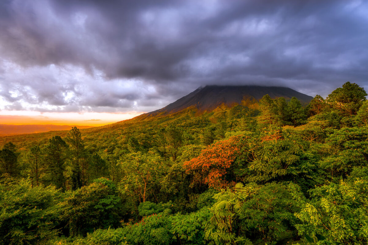
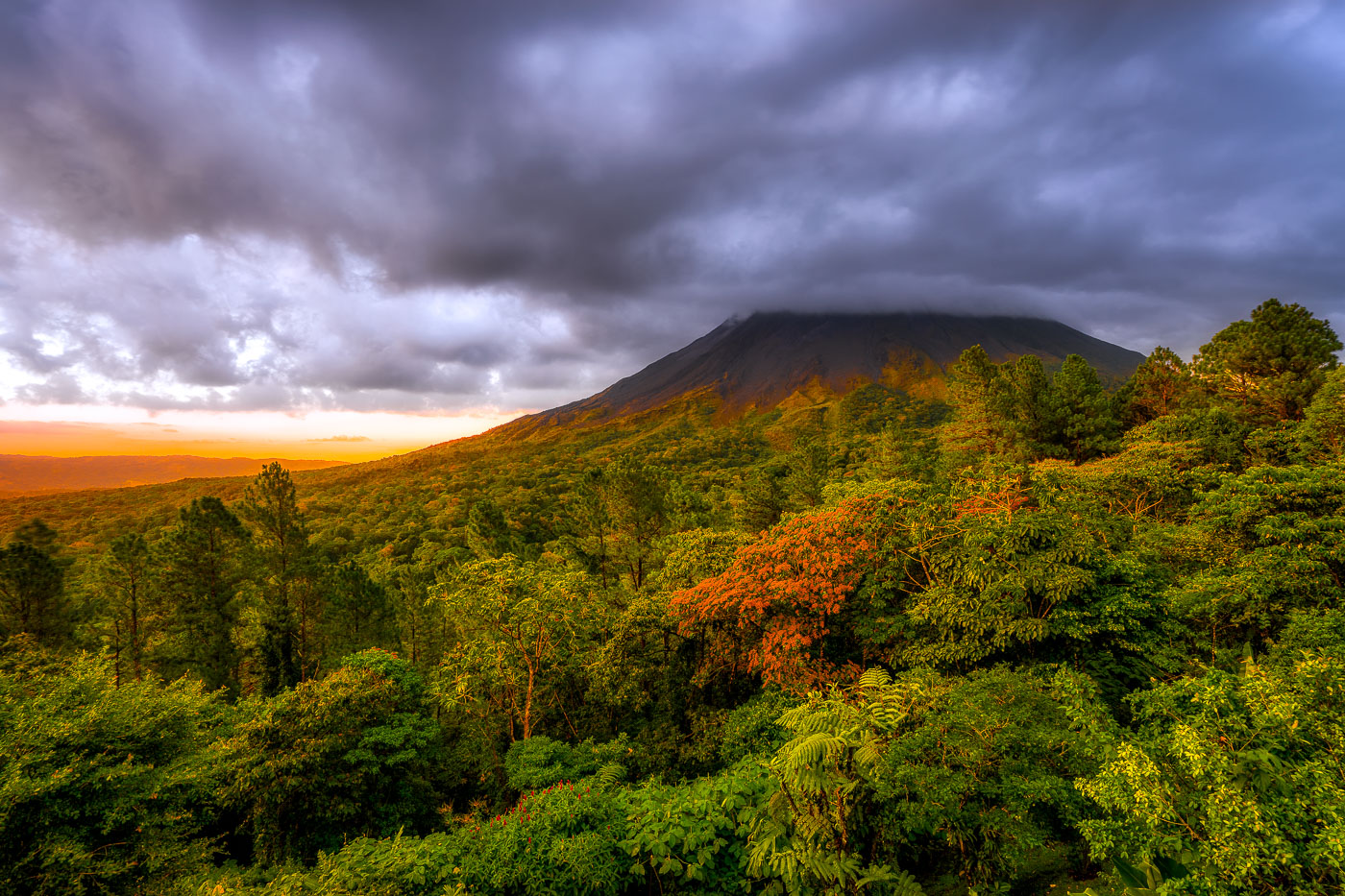
Arenal Volcano rises above dense rainforest canopy under stormy skies near La Fortuna, Costa Rica.
Arenal Volcano rises 1,657 meters above the plains of northern Costa Rica, near the town of La Fortuna in Alajuela Province. The stratovolcano stayed dormant for centuries before an eruption in 1968 destroyed the nearby village of Tabacón and reshaped its slopes with the lava flows still visible today. It erupted continuously from 1968 until activity ceased in 2010, making it one of the youngest active volcanoes in Central America during that period. The surrounding land was designated Arenal Volcano National Park in 1991, protecting the rainforest that now covers much of the mountain's lower flanks.

Sunset Light Breaks Over Arenal Volcano Near La Fortuna

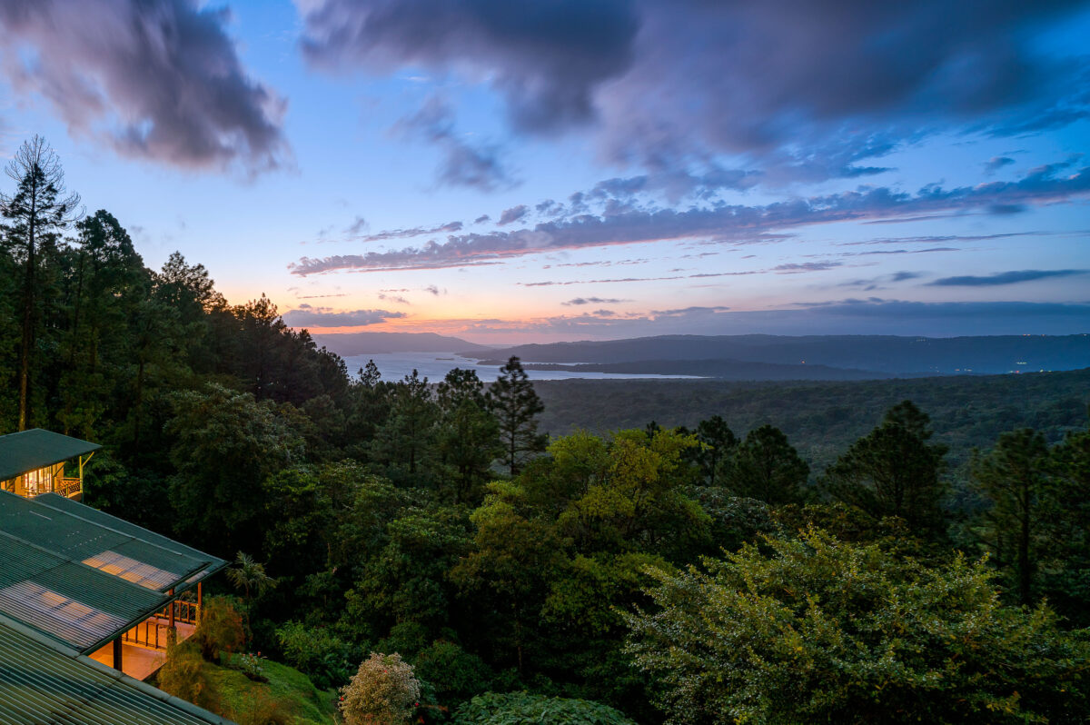
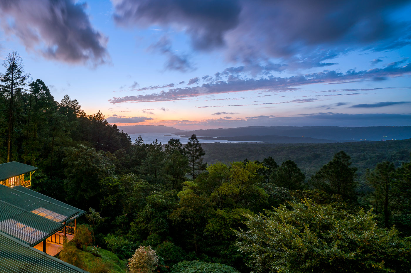
Arenal Observatory Lodge overlooks Lake Arenal and rainforest at twilight in Costa Rica's Alajuela Province.
Arenal Observatory Lodge sits on the southern flank of Arenal Volcano, overlooking Lake Arenal in Costa Rica's Alajuela province. The lodge began in 1987 as a research station built to house volcanologists monitoring Arenal's eruptions, which continued almost continuously from 1968 until 2010. Lake Arenal itself is artificial, formed in 1979 when a dam was built for hydroelectric power and now supplying a significant share of the country's electricity. The property later converted from a scientific outpost into a hotel, with trails leading through the surrounding rainforest toward the volcano's lower lava fields.

Dusk Over Lake Arenal from Arenal Observatory Lodge

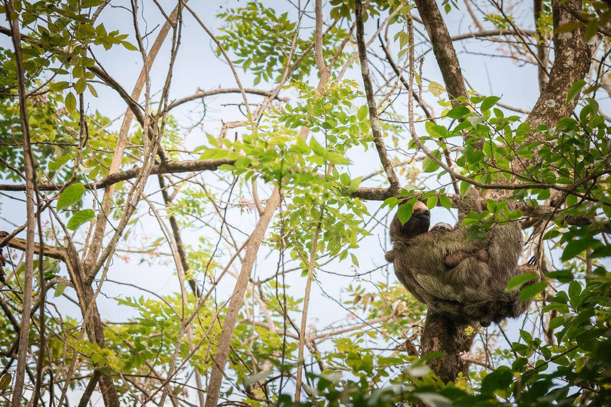
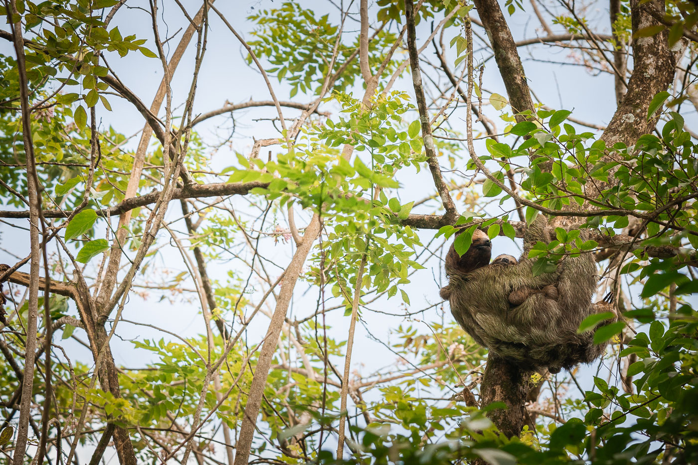
A mother sloth and her baby cling to a tree branch in Costa Rica's tropical forest canopy.
Costa Rica is home to two sloth species: the brown-throated three-fingered sloth and Hoffmann's two-fingered sloth. Both are arboreal and spend the majority of their lives in tree canopies, descending to the ground only about once a week to defecate. Females carry their young continuously for the first several months, with the infant clinging to the mother's belly as she moves slowly through the branches. Sloths have an exceptionally slow metabolism tied to a leaf-based diet, which is low in calories and difficult to digest, and this pace allows them to conserve energy while avoiding the attention of predators like harpy eagles.

Mother Sloth and Baby High in a Costa Rican Tree

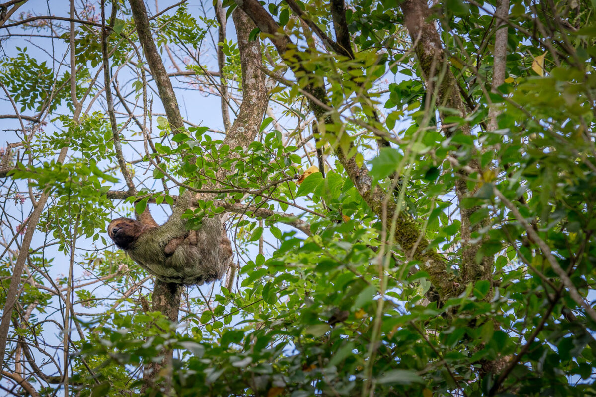
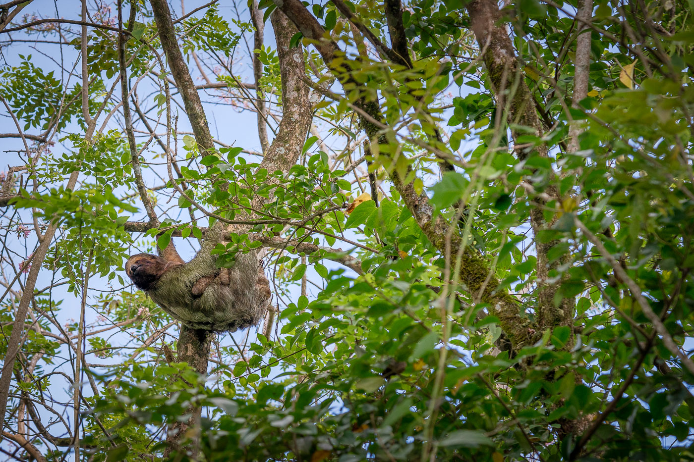
A three-toed sloth with its infant hangs from tree branches in Costa Rica's rainforest canopy.
Costa Rica is home to two sloth species: the brown-throated three-toed sloth (Bradypus variegatus) and Hoffmann's two-toed sloth (Choloepus hoffmanni). Females carry their young on their belly for several months after birth, as the infant lacks the strength to move independently through the canopy. Sloths spend nearly all their lives in trees, descending to the ground only about once a week to defecate. Algae growing in their fur gives many a greenish tint that helps camouflage them from predators like harpy eagles and jaguars.

Mother Sloth with Baby Clinging to a Costa Rican Treetop

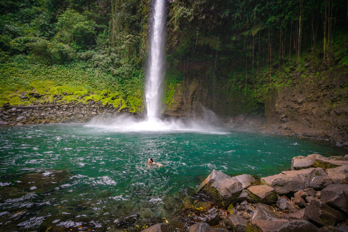
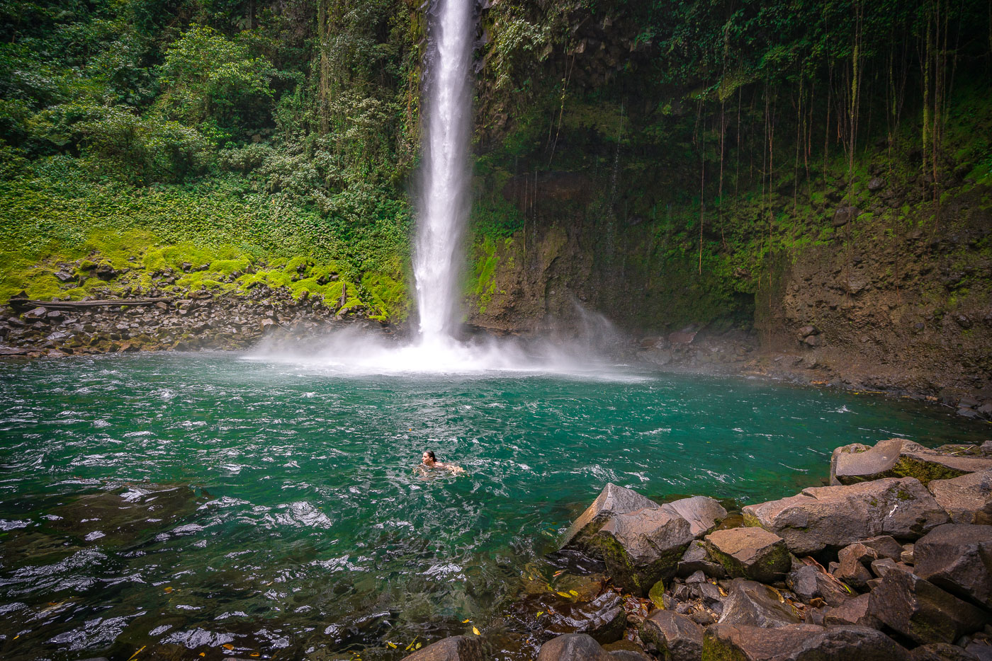
A swimmer floats in the turquoise pool beneath La Fortuna Waterfall in Costa Rica's tropical forest.
La Fortuna Waterfall drops roughly 70 meters into a pool fed by the Río Fortuna, near the base of Arenal Volcano in northern Costa Rica. The site sits within a privately protected reserve of tropical forest reached by a steep trail from the parking area. Swimming is permitted in the plunge pool, though park rules keep visitors a set distance back from the base of the falls due to falling rock and strong currents. The waterfall formed where the river cuts through a lava terrace tied to the Arenal volcanic system, which has shaped much of the surrounding landscape over the past several thousand years.

Swimming Below La Fortuna Waterfall, Costa Rica

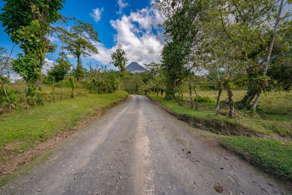
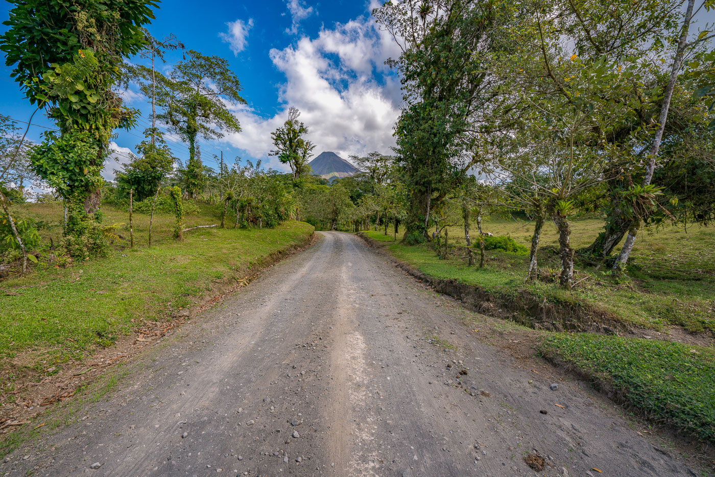
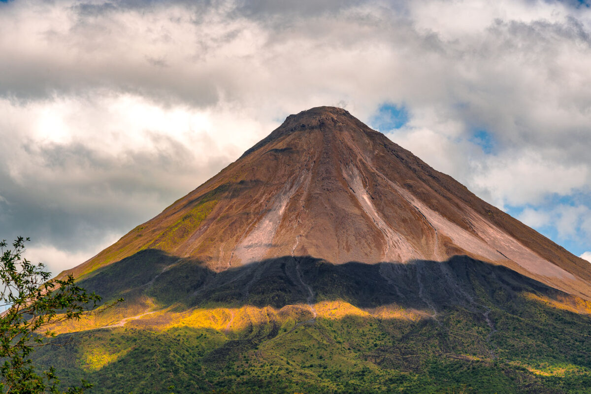
A gravel road lined with trees and pasture leads toward Arenal Volcano's cone in Costa Rica.
Arenal Volcano rises 1,633 meters above the plains of Alajuela Province in northern Costa Rica. The stratovolcano erupted almost continuously from 1968 until 2010, when activity ceased and the peak returned to a dormant state. It anchors Arenal Volcano National Park, established in 1991, and sits a few kilometers from the town of La Fortuna, the main gateway for visitors to the area. The surrounding countryside remains largely agricultural, with cattle pasture and small farms spread across the volcano's lower slopes.

Dirt Road to Arenal Volcano Near La Fortuna

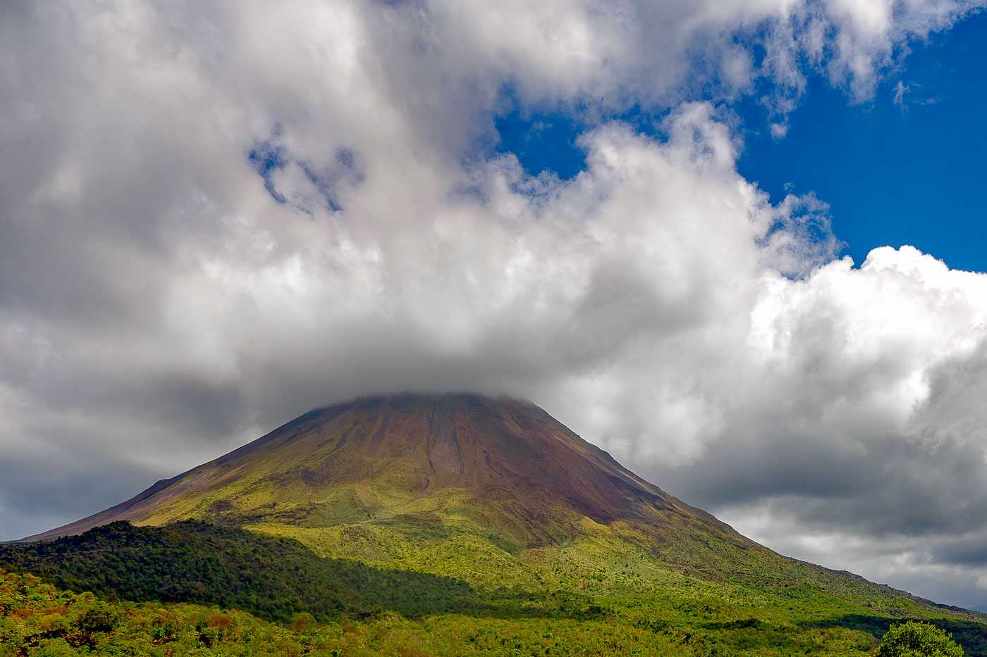
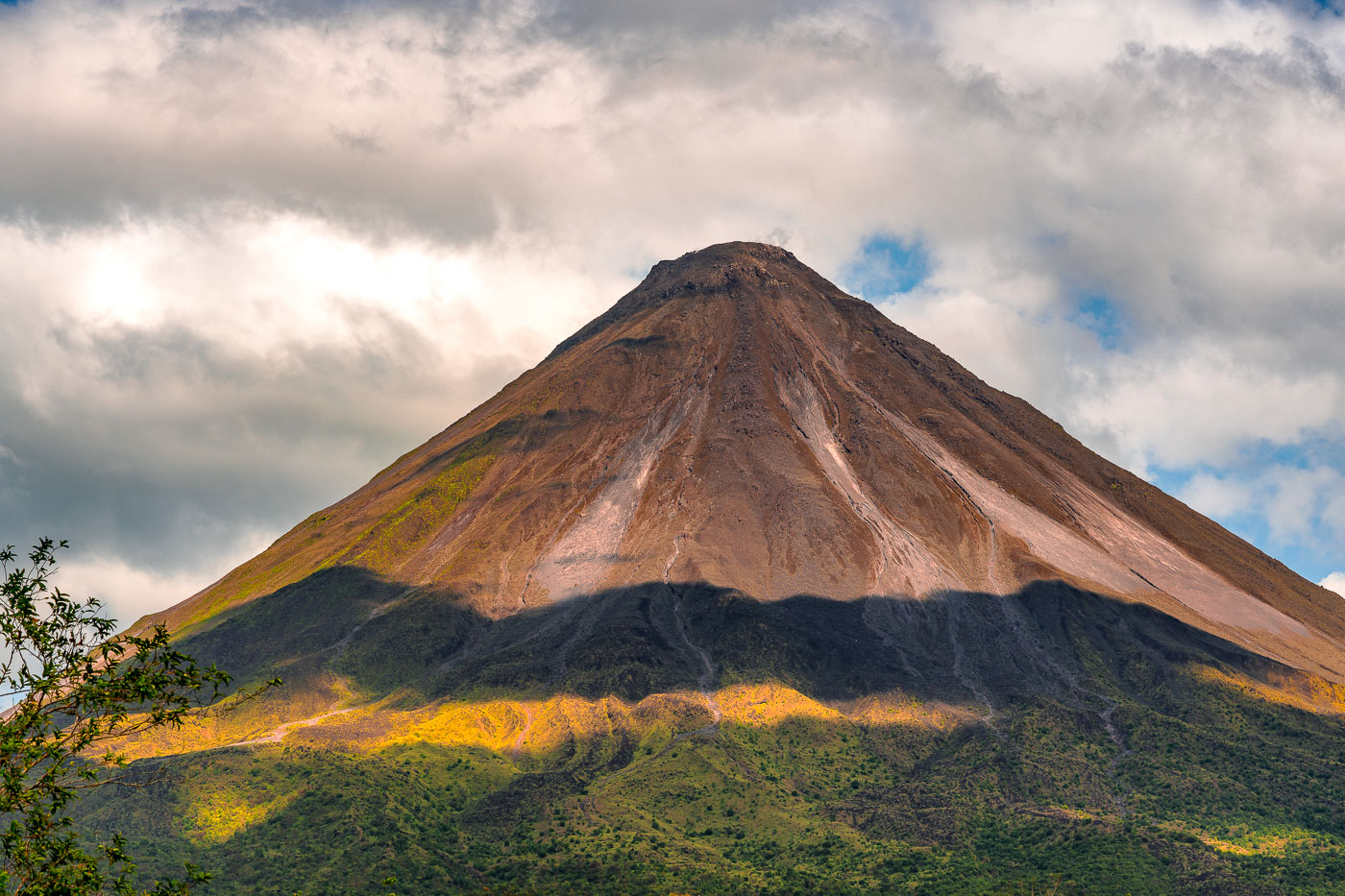
Arenal Volcano's symmetrical cone rises above forested foothills under partly cloudy skies in northwestern Costa Rica.
Arenal Volcano stands 1,633 meters high near La Fortuna in Costa Rica's Alajuela Province. The stratovolcano entered a major eruptive phase in 1968 after lying dormant for centuries, an event that destroyed the villages of Tabacón, Pueblo Nuevo, and San Luis. Eruptive activity continued almost without pause until 2010, placing Arenal among the most closely studied volcanoes in Central America during that period. Costa Rica established Arenal Volcano National Park in 1991 to protect the surrounding forest, which supports tapirs, pumas, and hundreds of recorded bird species. The volcano's symmetrical shape comes from repeated layers of ash and lava deposited during its decades of activity.

Arenal Volcano’s Cone Beneath a Shifting Sky

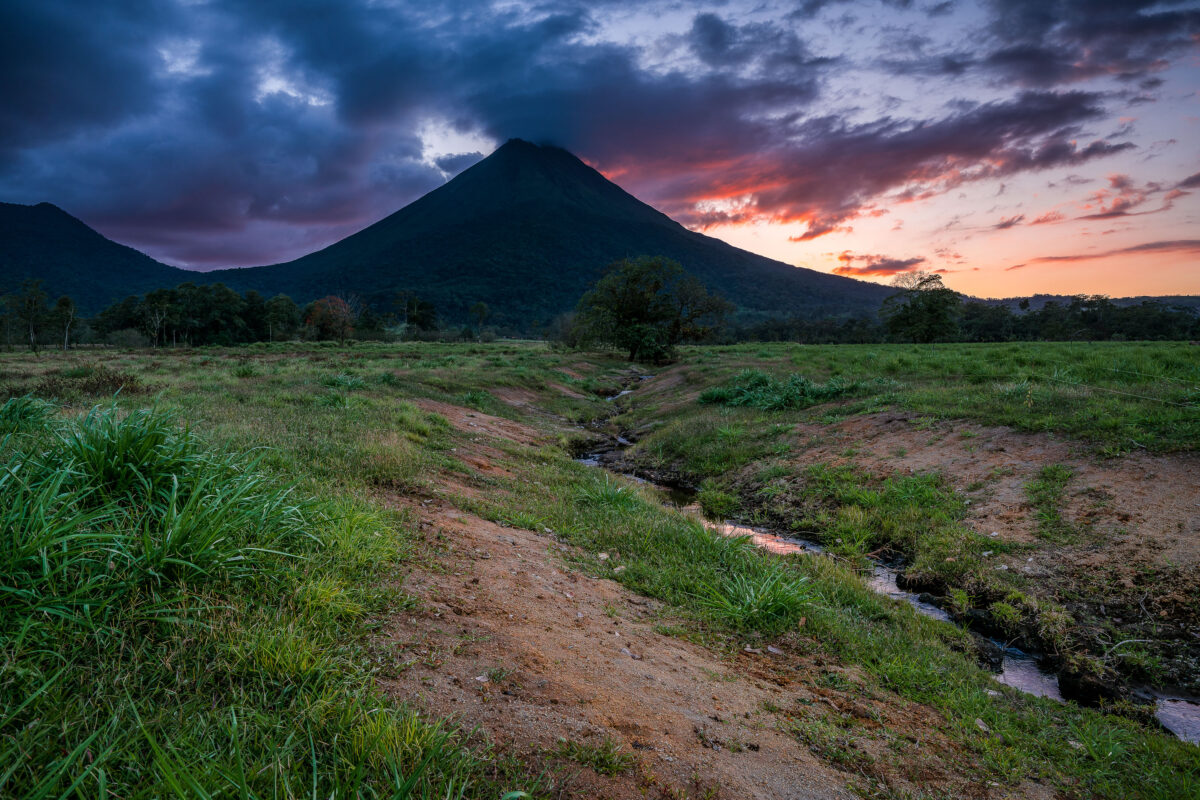
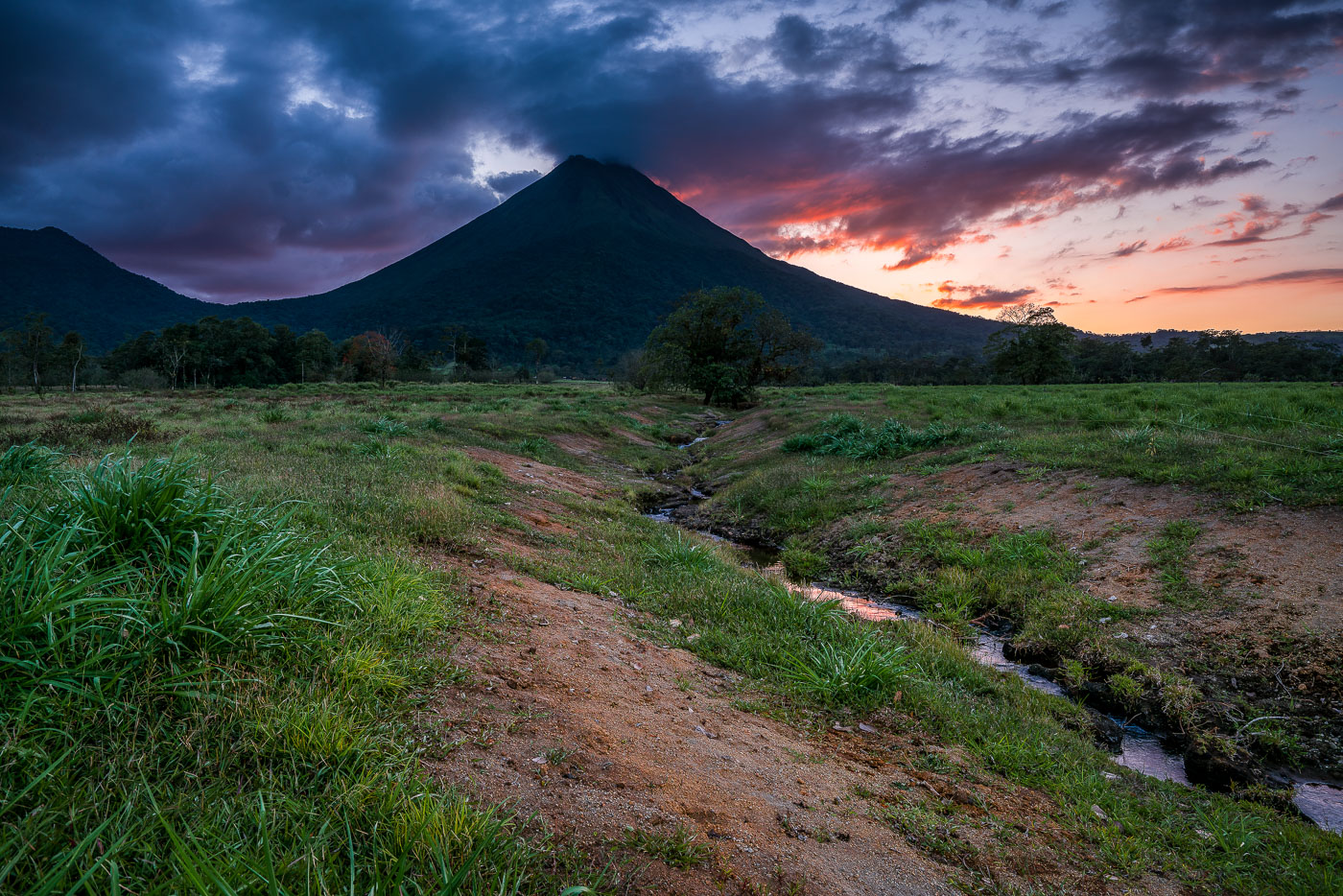
Arenal Volcano rises above grassy plains with a stream running through the foreground at sunset near La Fortuna, Costa Rica.
Arenal Volcano stands 1,633 meters tall near La Fortuna in Costa Rica's Alajuela province. Its symmetrical cone formed through repeated eruptions that began in 1968, when a sudden blast destroyed the nearby villages of Tabacón and Pueblo Nuevo and killed 87 people. The eruption marked the start of continuous activity that lasted until 2010, when the volcano entered its current dormant phase. The surrounding lowlands, drained by small streams like this one, are part of Arenal Volcano National Park, established in 1991 to protect the area's forests and wildlife.

Twilight Creek Below Arenal Volcano, Costa Rica

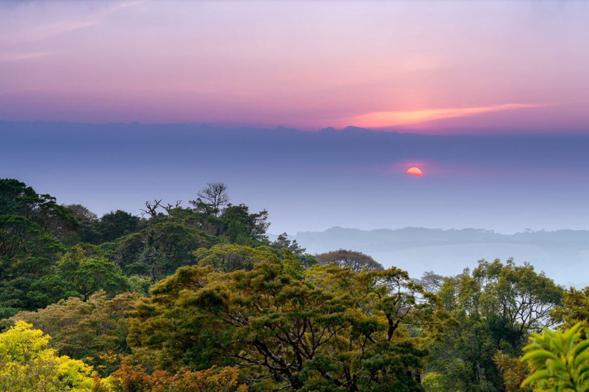
Sun setting over the Monteverde Cloud Forest canopy in Costa Rica with layered mist and vegetation visible below.
The Tilarán Mountains form the continental divide that runs through the Monteverde region, separating Caribbean-draining slopes from those facing the Pacific. Monteverde's cloud forest sits at elevations between roughly 1,400 and 1,800 meters, where moisture-laden trade winds condense into the persistent mist that defines the ecosystem. The Monteverde Cloud Forest Biological Reserve, established in 1972 by the Tropical Science Center, protects more than 10,500 hectares of this habitat and borders the adjacent Children's Eternal Rainforest, one of the largest private reserves in Central America. The region's elevation and position along the divide create the shifting light and layered haze that mark the transition between day and night over the forest canopy.

Sunset Over the Tilarán Mountains Near Monteverde

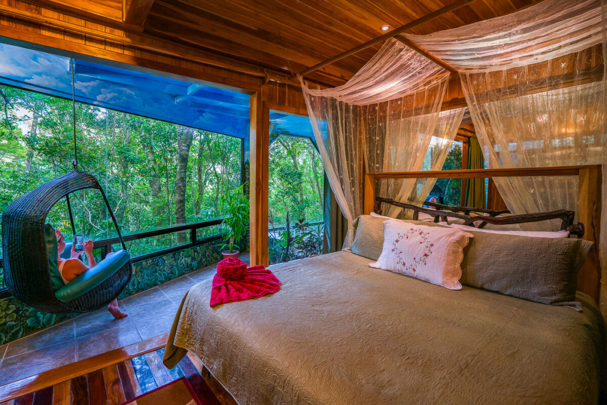
A treehouse bedroom in Monteverde, Costa Rica features a canopy bed with mosquito netting, suspended chair, and expansive windows overlooking the cloud forest.
Hidden Canopy Treehouses is a small boutique lodge built into the cloud forest canopy near Monteverde, Costa Rica, with guest rooms raised above the forest floor on stilts. Each suite opens onto a private balcony facing the forest, a design choice meant to put guests at eye level with the canopy rather than looking up at it from the ground. The lodge sits adjacent to the Monteverde Cloud Forest Biological Reserve, one of the region's best-known protected forest areas.

Canopy Bed Suite at Hidden Canopy Treehouses, Monteverde

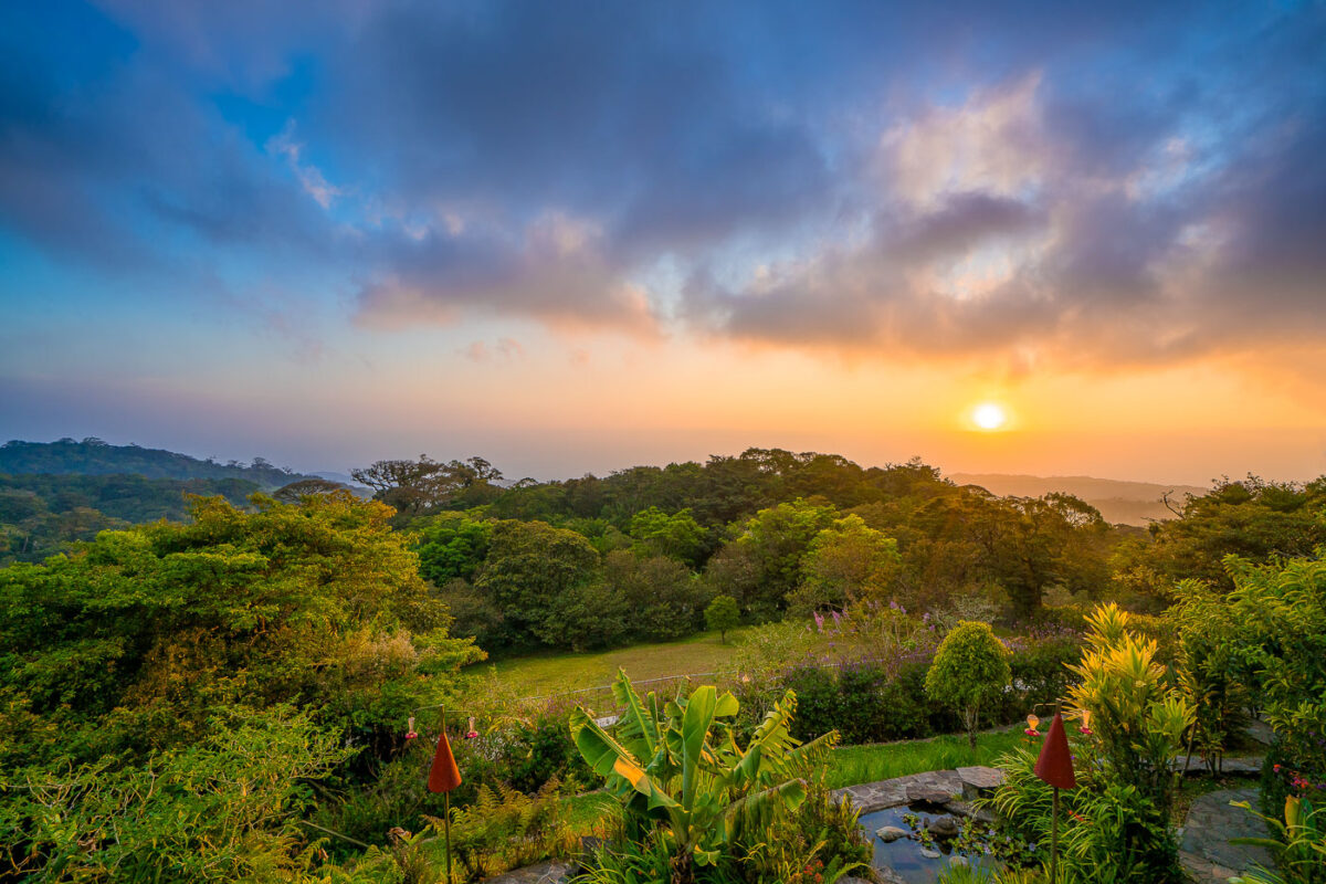
Monteverde Cloud Forest in Costa Rica at sunset, with flowering plants in foreground and forested hills beneath golden sky.
Monteverde sits along Costa Rica's Tilarán Cordillera, where trade winds off the Caribbean push moisture up the slopes and condense into the near-constant mist that gives the cloud forest its name. The Monteverde Cloud Forest Reserve, established in 1972, protects roughly 10,500 hectares and spans six distinct ecological zones across an elevation range of about 1,440 to 1,800 meters. That shift in elevation and moisture supports more than 2,500 plant species, including over 400 types of orchids, along with some 100 mammal species and 400 bird species, among them the resplendent quetzal. Quaker settlers and conservationists who arrived in the 1950s helped set aside the original forest tract, a decision credited with starting the region's long-running ecotourism economy.

Sunset Over the Treetops at Monteverde

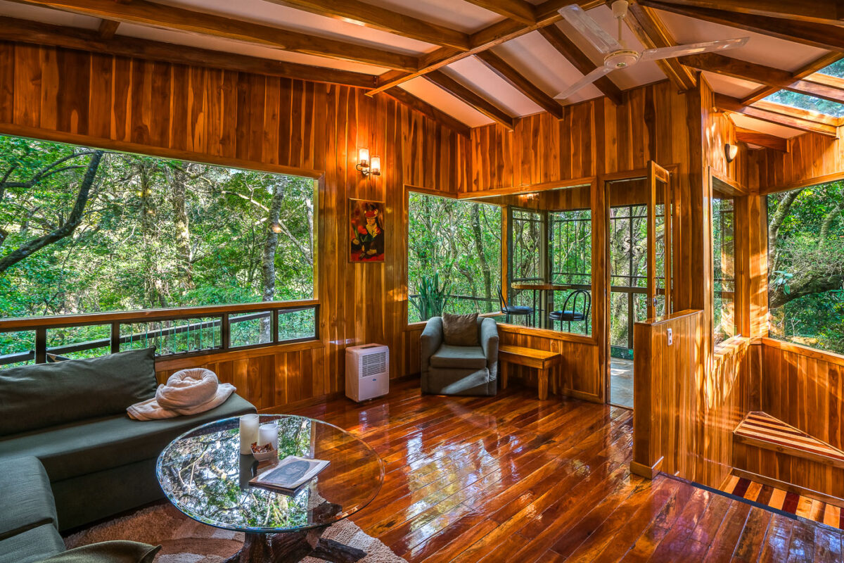
Wood-paneled interior of a treehouse suite at Hidden Canopy Treehouses in Monteverde, Costa Rica, with large windows overlooking cloud forest.
Hidden Canopy Treehouses is a small lodge of private cabins built on stilts above the cloud forest canopy near Monteverde, Costa Rica. Each suite is finished in local hardwood and opens onto a screened balcony facing the surrounding forest. The property sits adjacent to the Monteverde Cloud Forest Biological Reserve, drawing guests for the birdwatching and wildlife viewing possible from the rooms themselves. Interior common areas combine wood paneling and glass to keep the forest visible from nearly every angle of the living space.

Living Room at Hidden Canopy Treehouses, Monteverde

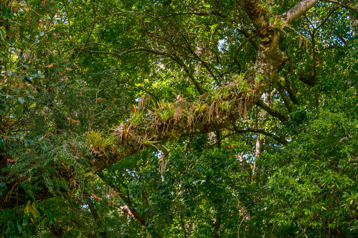
Bromeliads and epiphytic plants grow on a tree branch in the Monteverde Cloud Forest Biological Preserve, Costa Rica.
The Monteverde Cloud Forest Biological Reserve sits along the Continental Divide in Costa Rica's Tilarán mountain range, where moisture-laden trade winds keep the forest in near-constant mist. That humidity supports a dense load of epiphytes — bromeliads, orchids, ferns, and mosses — that grow directly on tree limbs rather than in soil, drawing water and nutrients from the air and debris around them. Researchers have cataloged more than 500 species of epiphytes within the reserve, among the highest counts recorded in any neotropical cloud forest. The reserve itself protects roughly 10,500 hectares and was established in 1972 through the efforts of Quaker settlers and conservationists working with the Tropical Science Center.

Epiphyte-Laden Branch in the Monteverde Cloud Forest Reserve
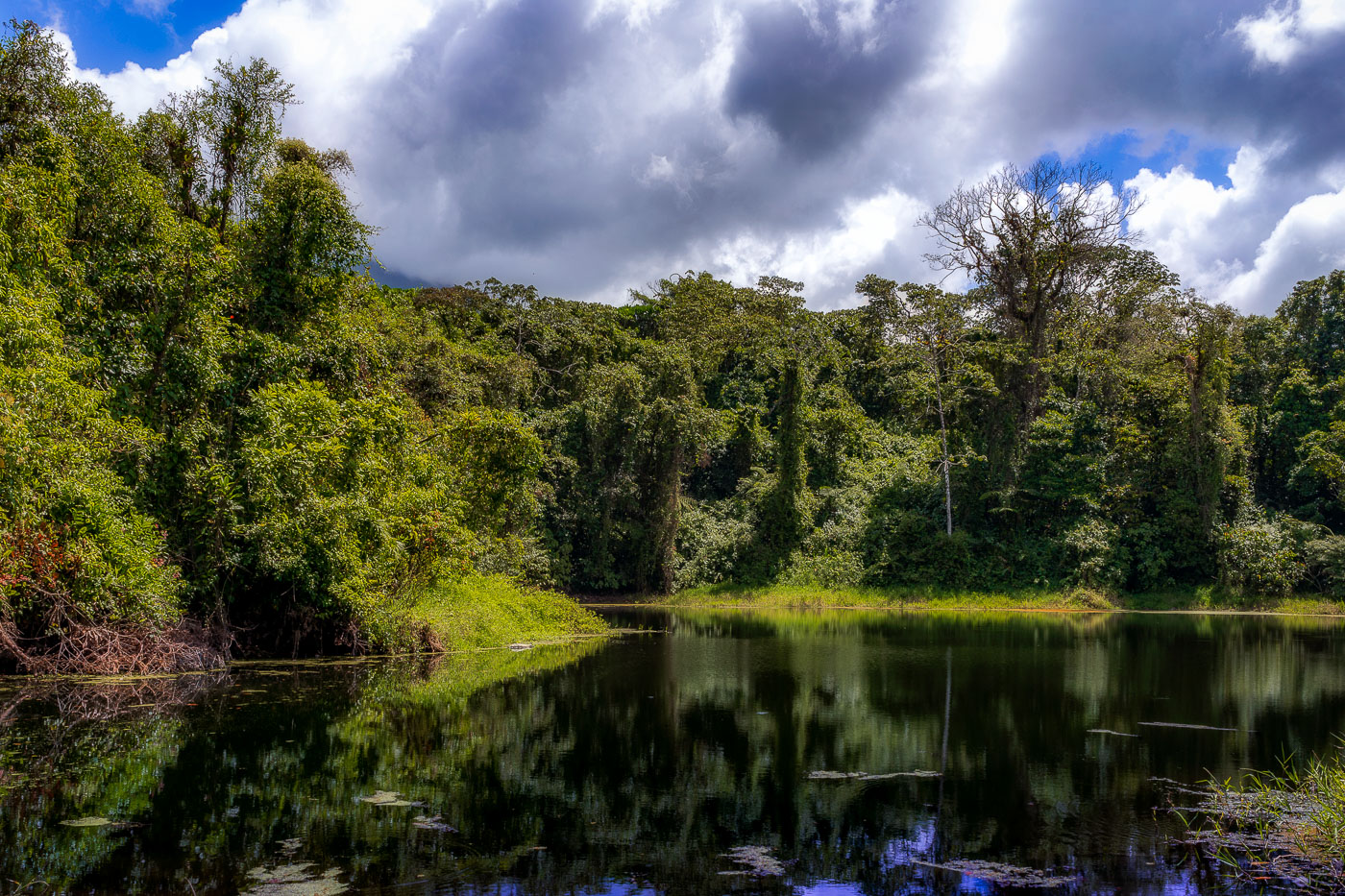
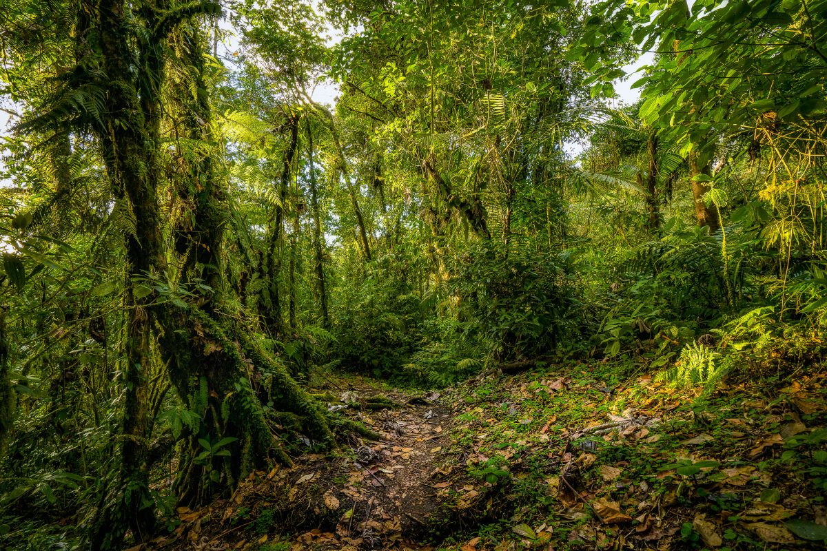
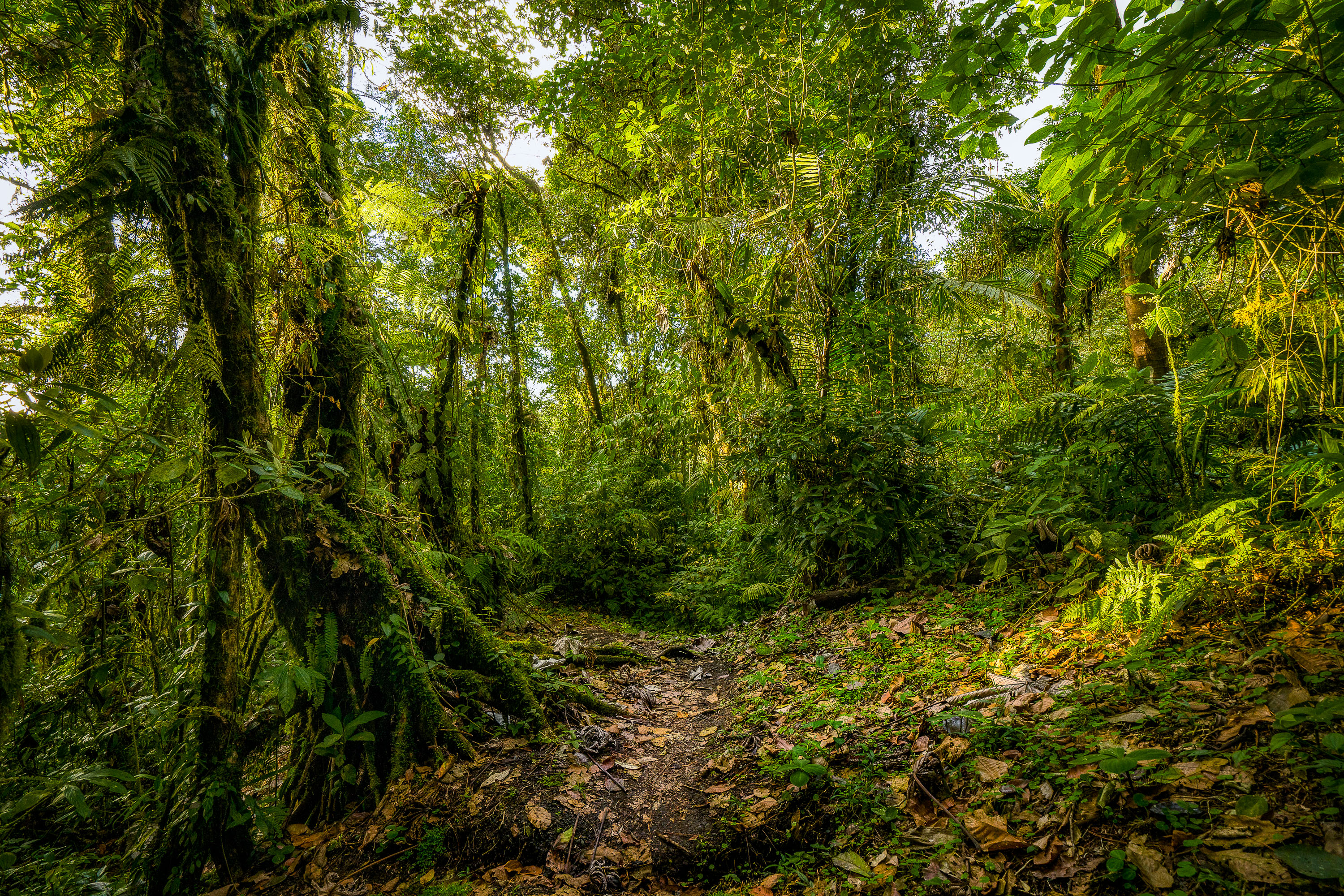
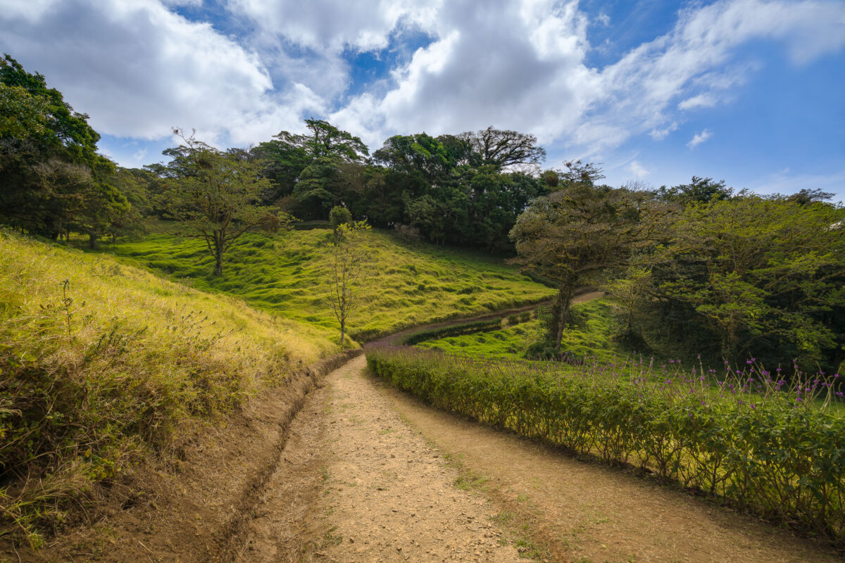
A dirt trail winds through the Monteverde Cloud Forest Biological Preserve in Costa Rica, bordered by lush green vegetation and scattered trees.
The Monteverde Cloud Forest Biological Reserve sits along the Cordillera de Tilarán in Costa Rica's Puntarenas Province, straddling the Continental Divide at elevations between about 1,440 and 1,800 meters. The Tropical Science Center, a Costa Rican nonprofit, has managed the reserve since its founding in 1972, when it was established to protect one of the region's last large tracts of primary cloud forest. The reserve spans roughly 10,500 hectares and supports more than 2,500 plant species, including over 400 types of orchids. Trails like this one allow hikers to move between the reserve's open pasture edges and its denser forest interior while keeping foot traffic confined to a defined route.

A Hillside Trail Through Monteverde’s Cloud Forest Reserve
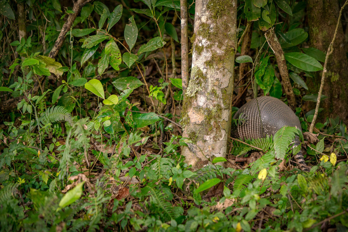
An armadillo forages through dense undergrowth in the Monteverde Cloud Forest Biological Preserve, Costa Rica.
The nine-banded armadillo is the species most likely to turn up along the forest floor at Monteverde, foraging through leaf litter for insects, grubs, and small invertebrates. It's the only armadillo species found as far north as the United States, but in Costa Rica it ranges through both lowland and highland forest, including the cloud forest habitat around Monteverde. The animal's banded armor is made of bony plates called osteoderms, covered in keratin, which allow it to flex while it digs and burrows. Mostly nocturnal or active at dawn and dusk, it relies on a strong sense of smell rather than eyesight to locate food, since armadillos see poorly.

Nine-Banded Armadillo Foraging Near Monteverde, Costa Rica
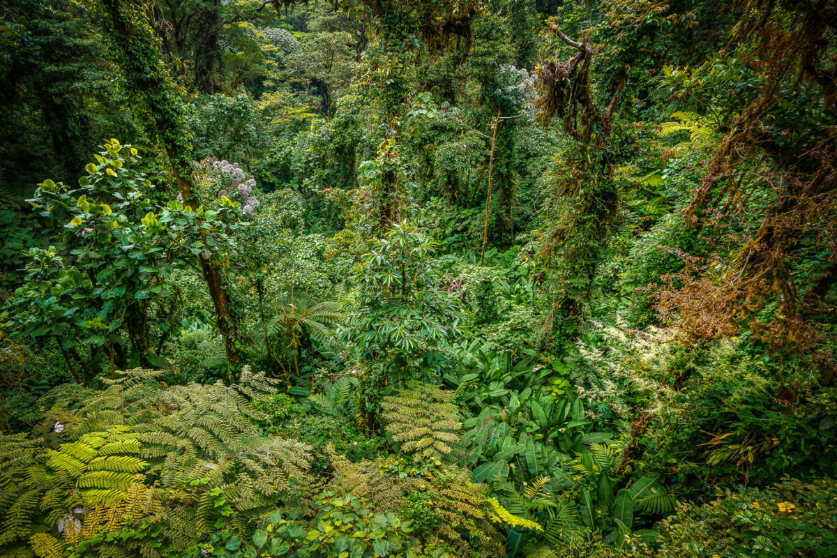
Dense canopy of tree ferns, epiphytes, and moss-covered trees in Monteverde Cloud Forest Biological Reserve, Costa Rica.
Monteverde's cloud forest sits along the Cordillera de Tilarán at elevations between roughly 1,400 and 1,800 meters, where moisture-laden trade winds condense into near-constant mist. The Monteverde Cloud Forest Biological Reserve, established in 1972 by the Tropical Science Center, protects about 10,500 hectares of this habitat. Scientists have cataloged more than 2,500 plant species here, including over 400 types of orchids and some 200 fern species, many of them epiphytes that grow on host trees rather than in soil. The reserve's elevation and humidity support six distinct ecological zones, making it one of the most biologically dense forest systems in Central America.

Tree Ferns and Epiphytes Fill the Monteverde Forest Floor
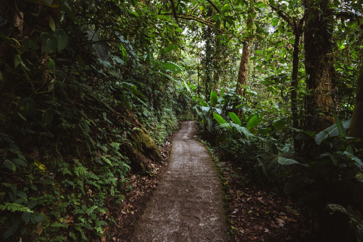
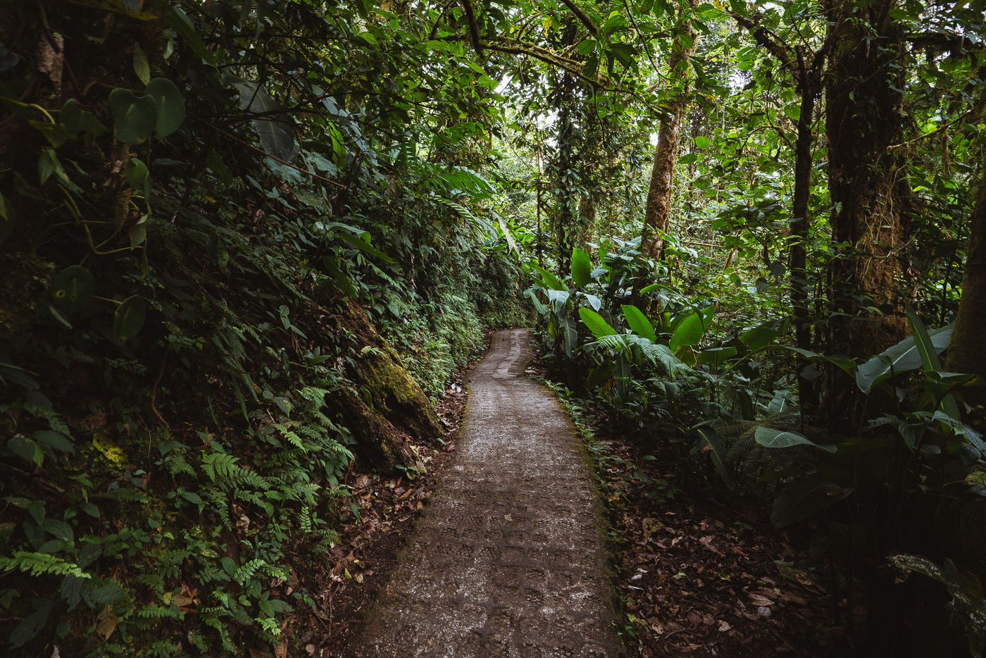
A dirt path winds through dense vegetation in Monteverde Cloud Forest Biological Preserve, Costa Rica.
The Monteverde Cloud Forest Biological Preserve covers roughly 10,500 hectares along the Continental Divide in Costa Rica's Tilarán Mountains. Established in 1972 by the Tropical Science Center, it protects one of the country's last large tracts of primary cloud forest. Elevations within the reserve range from about 1,440 to 1,860 meters, a range that produces the near-constant moisture and fog for which the ecosystem is known. Stone and gravel paths like this one give researchers and visitors access to the reserve's network of trails, which stretch over roughly 13 kilometers combined. The preserve is home to more than 2,500 plant species and over 400 species of birds, including the resplendent quetzal.

Stone Pathway Through the Monteverde Cloud Forest Reserve
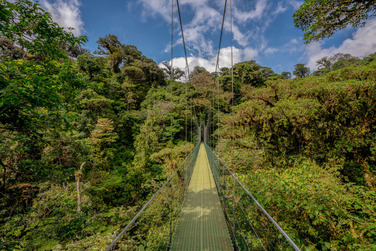
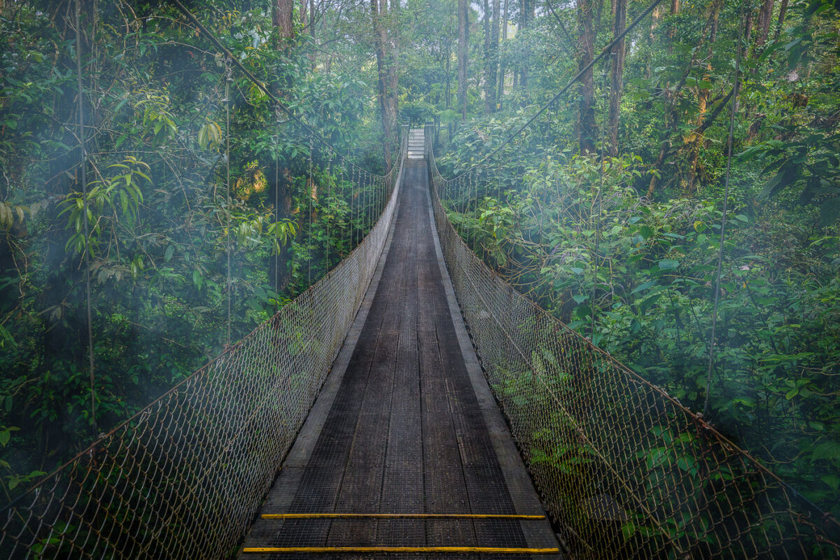
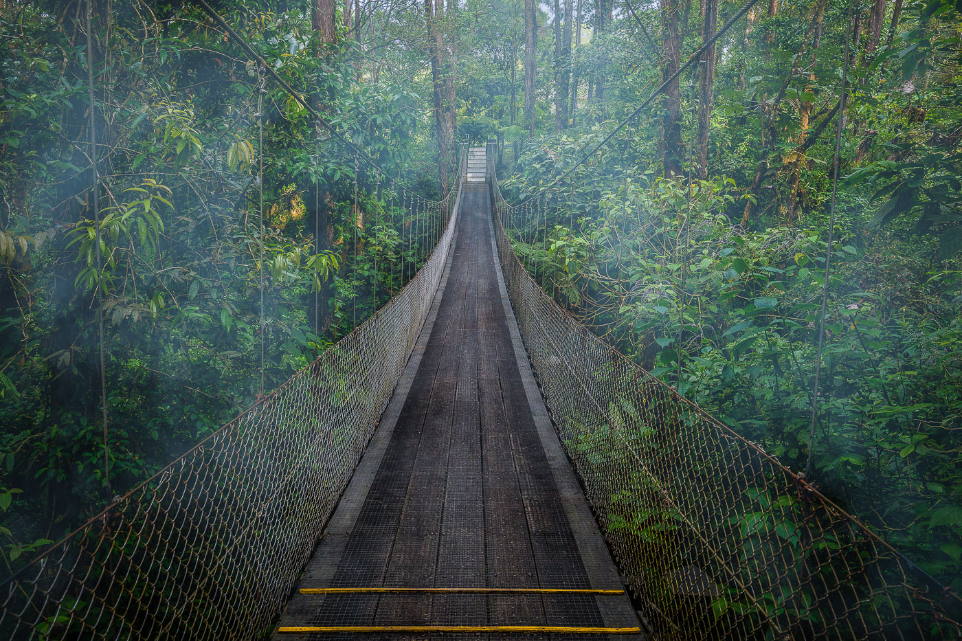
A suspension bridge with a yellow walkway stretches through the canopy of Monteverde Cloud Forest Biological Preserve in Costa Rica.
Monteverde's cloud forest sits along the Tilarán mountain range, where trade winds hold moisture against the slopes and keep the canopy in near-constant mist. Suspension bridges like this one let visitors cross at canopy height, moving through a layer of the forest usually reached only by climbing researchers or resident wildlife. The Monteverde Cloud Forest Biological Preserve protects roughly 10,500 hectares of this habitat, home to more than 400 bird species and an estimated 2,500 plant species, many of them epiphytes growing directly on tree limbs. The reserve was established in 1972, largely through the efforts of Quaker settlers and conservationists who recognized the forest's role in the region's water supply.

Suspension Bridge Over the Monteverde Canopy
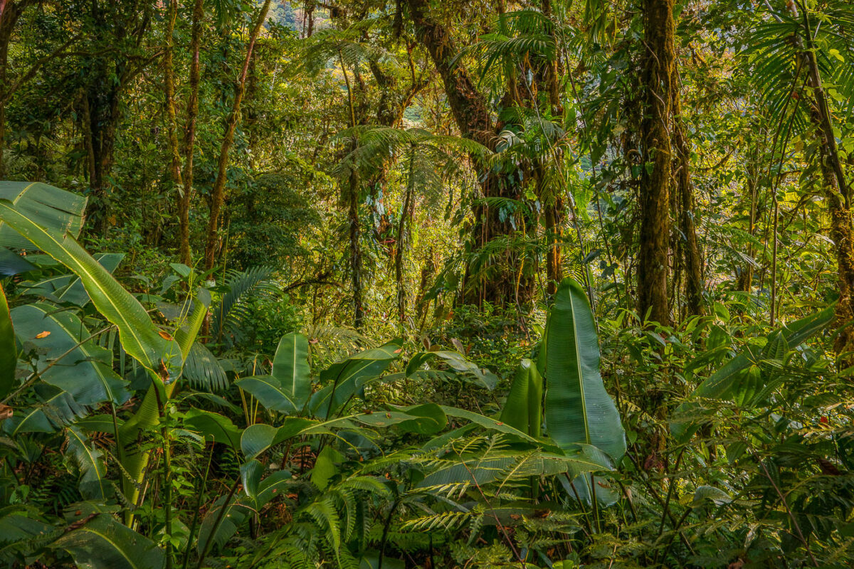
Dense tropical vegetation with banana plants and tall trees in Monteverde Cloud Forest, Costa Rica.
Monteverde's cloud forest sits along the Tilarán Mountains, where trade winds pushing moisture off the Caribbean condense into near-constant mist across the ridge. The reserve protects roughly 10,500 hectares and spans six distinct ecological zones, a range that produces the dense, layered plant growth found at different elevations. Wild banana relatives, tree ferns, and epiphytes common in the understory thrive here due to the reserve's high humidity, which stays above 90 percent for much of the year. Scientists have catalogued more than 2,500 plant species within the reserve, including over 400 types of orchids.

Dense Understory Growth in the Monteverde Cloud Forest
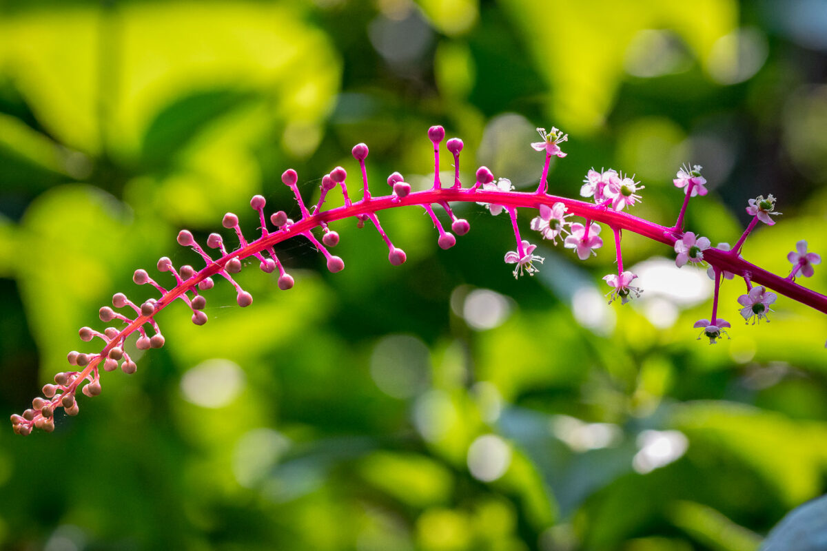
Pink flowers and buds along a curved magenta stem against blurred green foliage in Costa Rica.
Phytolacca, a genus in the pokeweed family, produces magenta-stemmed flower spikes like this one, found in the understory of Central American cloud forests such as Monteverde's reserve. Its small white-and-pink blossoms mature into dark berries that birds and small mammals feed on and disperse, helping the plant colonize disturbed ground and forest edges.

Magenta Flower Stem in the Monteverde Cloud Forest
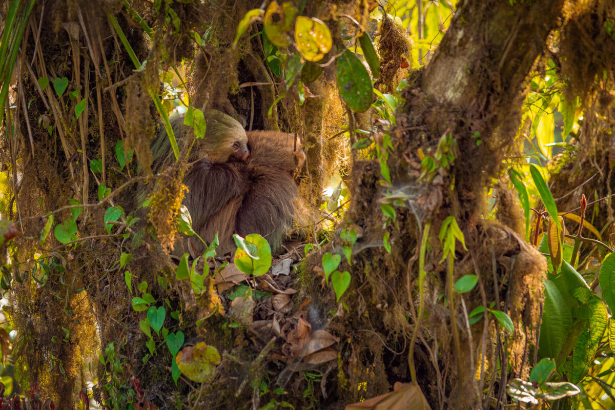
Two sloths rest in moss-covered tree branches surrounded by dense vegetation in Monteverde Cloud Forest, Costa Rica.
Hoffmann's two-toed sloths are among the mammals found in the Monteverde Cloud Forest Reserve, a protected area that spans roughly 10,500 hectares across Costa Rica's Tilarán mountain range. Unlike Costa Rica's other common sloth species, the brown-throated three-toed sloth, Hoffmann's two-toed sloths are primarily nocturnal and spend much of the day curled into dense foliage or epiphyte clusters high in the canopy. Females often carry and nurse a single offspring for up to a year, with young sloths clinging to the mother's fur until they're large enough to forage independently. The reserve's constant moisture and cloud cover support the thick moss and epiphyte growth that gives sloths cover and camouflage from predators like harpy eagles.

Two-Toed Sloths Nestled in Monteverde’s Mossy Canopy
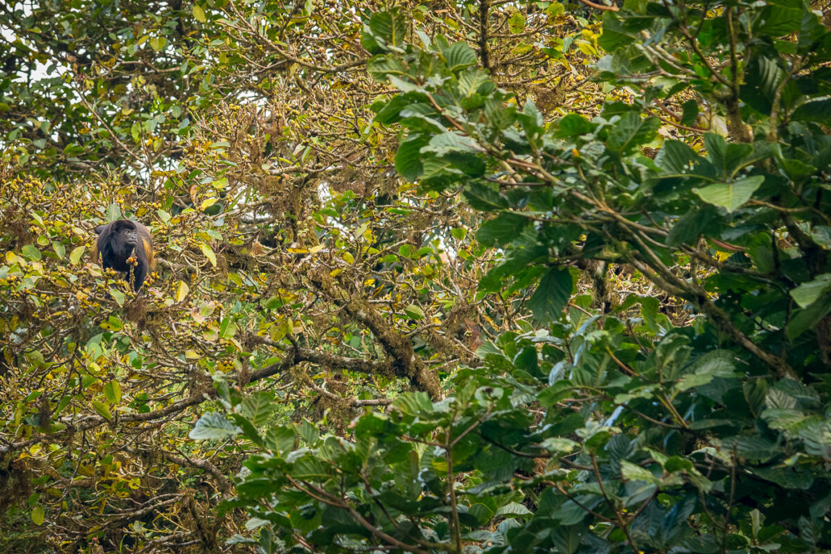
A howler monkey perches in dense canopy branches and foliage in Costa Rica's rainforest.
The mantled howler (Alouatta palliata) is among the loudest land animals on Earth, with males producing calls audible up to three miles away through a specialized, enlarged hyoid bone in the throat. Troops in Costa Rica's cloud forests typically number between six and fifteen and rarely descend to the ground, spending nearly their entire lives in the upper canopy. Their diet consists mainly of leaves supplemented with fruit and flowers, and slow, deliberate movement helps them conserve energy from this low-calorie food source. The species is listed as Vulnerable by the IUCN, with habitat fragmentation posing the primary threat to populations in Costa Rica's forest reserves.

Howler Monkey Feeding in Monteverde’s Canopy
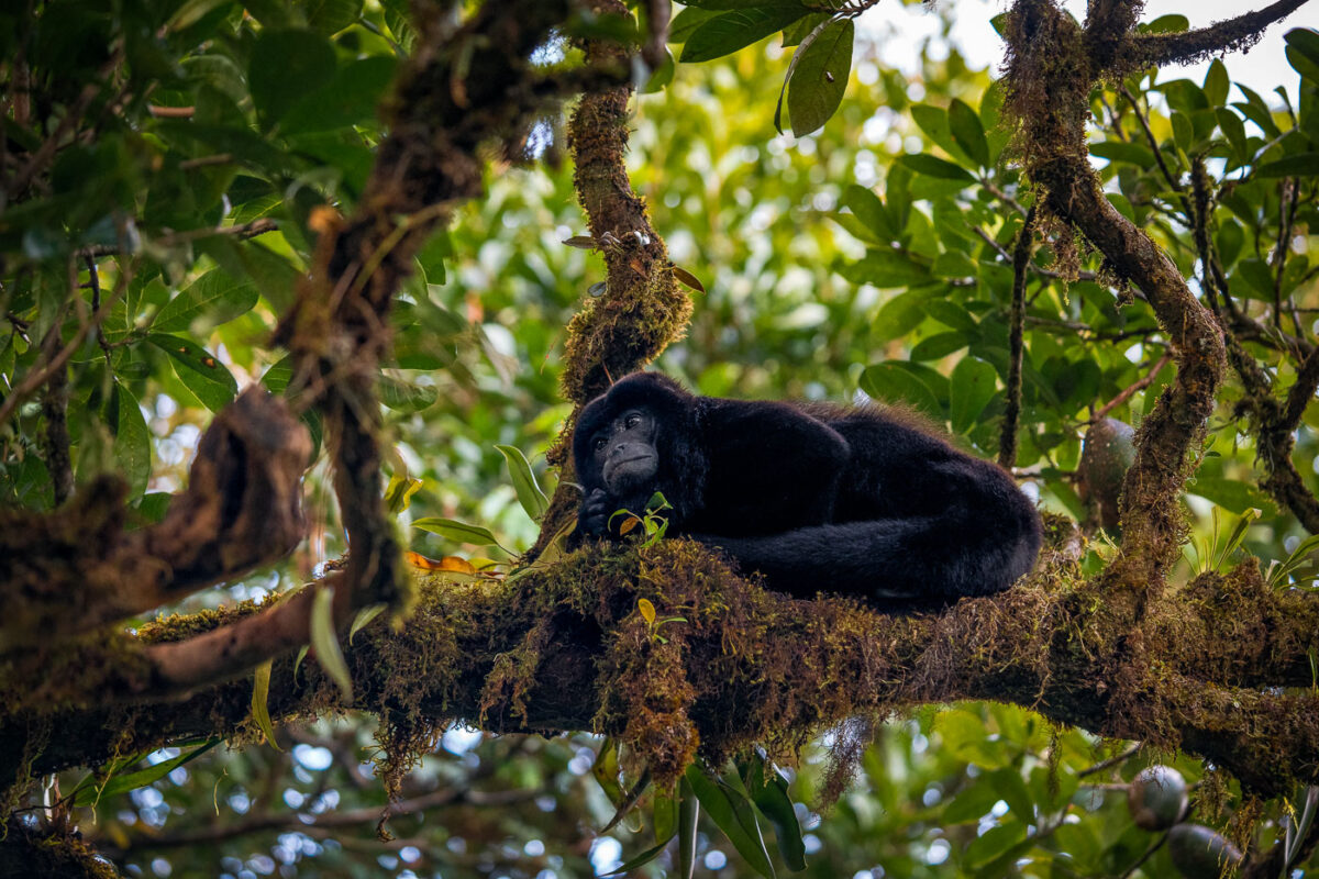
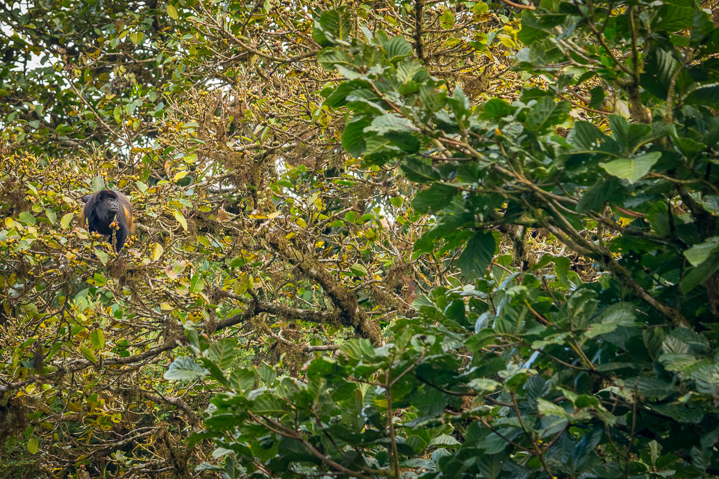
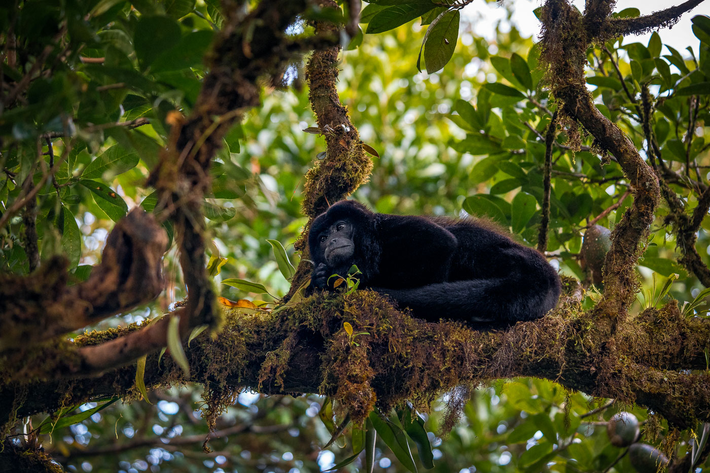
A black howler monkey rests on moss-covered branches in the canopy of a Costa Rican cloud forest.
This is a mantled howler monkey, Alouatta palliata, the species found in Costa Rica's cloud forests rather than the black howler, which ranges farther south. Adult males can weigh up to 9 kilograms and are among the loudest land animals, with calls audible up to five kilometers through dense canopy via an enlarged hyoid bone that amplifies sound. Mantled howlers spend most of their lives in the forest canopy, rarely descending to the ground, and rely on a prehensile tail that can support their full body weight on branches. Their diet is mostly leaves supplemented with fruit and flowers, an adaptation that requires long rest periods to digest tough, low-calorie foliage. The species is listed as vulnerable by the IUCN, with habitat fragmentation from deforestation posing its main threat across Central America.

Howler Monkey Curled on a Mossy Limb in Monteverde
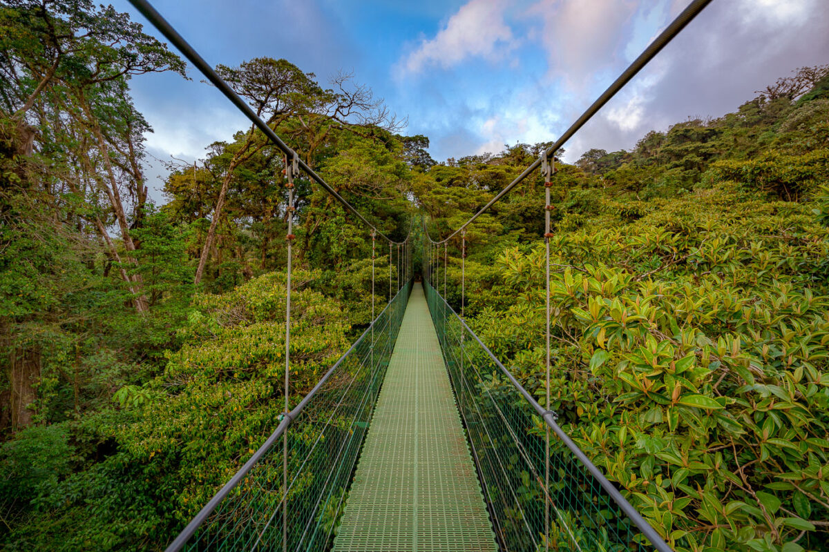
A suspension bridge with green mesh decking stretches through the canopy of Monteverde Cloud Forest Biological Preserve in Costa Rica.
Monteverde's cloud forest reserve sits along the Tilarán mountain range's continental divide, where trade winds off the Caribbean push moisture into the forest, keeping the canopy perpetually damp. The reserve protects roughly 10,500 hectares of forest and is home to an estimated 2,500 plant species, including hundreds of orchids and epiphytes that grow on the trees themselves rather than in soil. Suspension bridges like this one were built to let visitors move through the upper canopy, where much of the forest's biodiversity — birds, insects, and mammals — actually lives, without cutting new trails through the understory below.

Hanging Bridge Through the Monteverde Cloud Forest Canopy

A green mesh suspension bridge stretches through dense canopy vegetation in Monteverde Cloud Forest, Costa Rica.
The Monteverde Cloud Forest Reserve maintains a network of suspension bridges designed to let visitors cross ravines and move through the forest canopy rather than only along the ground. The reserve itself protects roughly 10,500 hectares of primary forest across the Tilarán mountain range, land set aside since 1972 largely through the efforts of Quaker settlers and conservation groups. Elevations within the reserve range from about 1,400 to over 1,800 meters, conditions that keep the forest in near-constant mist and support the dense epiphyte growth seen along the trail corridors. The bridges give researchers and tourists alike access to the upper forest strata, where much of the reserve's biodiversity — including many of its orchid and bird species — is concentrated.

Crossing the Canopy Walkway at Monteverde Cloud Forest Reserve

White-throated Magpie-Jay with distinctive crest perched on wrought-iron fence in Costa Rica.
The white-throated magpie-jay is a large jay native to the Pacific slope of Central America, ranging from southern Mexico into northwestern Costa Rica. It's easily identified by its long, graduated tail, curled forward-facing crest feathers, and the blue-and-white plumage with a dark necklace marking across the chest. The species favors dry forest and scrubland, and it has adapted readily to gardens, farms, and developed areas within its range. Magpie-jays are highly social, often traveling and foraging in small family groups that cooperate in raising young from previous broods.

White-throated Magpie-Jay on an Iron Railing in Guanacaste
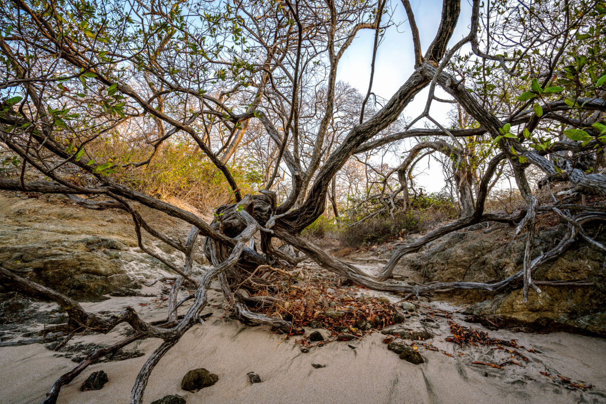
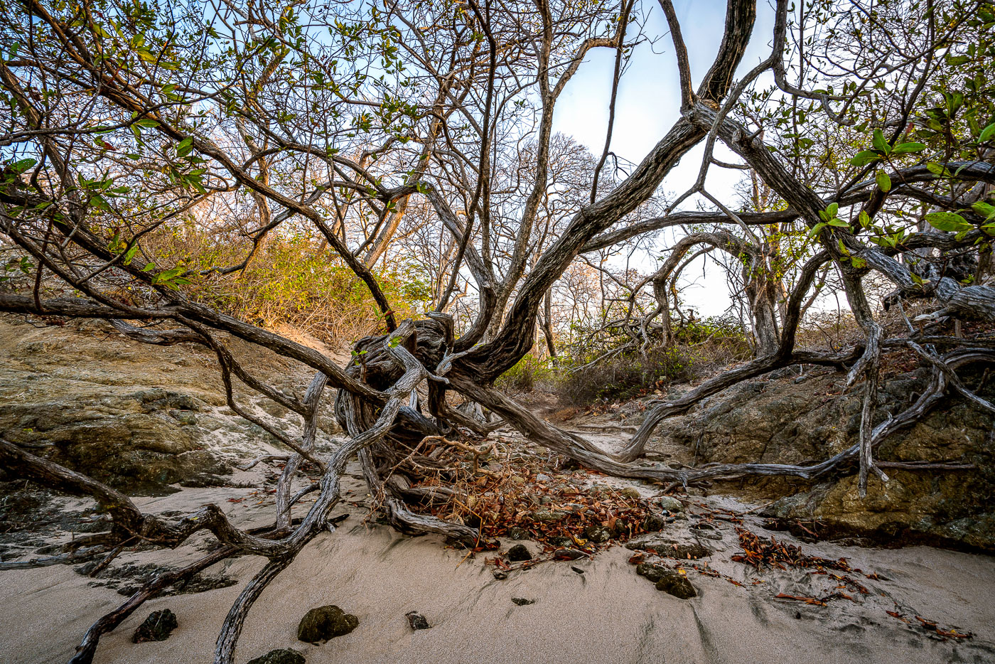
Wind-shaped coastal trees with exposed roots sprawl across sand and rock at Punta San Francisco Beach in Costa Rica.
Punta San Francisco Beach sits along Costa Rica's Pacific coast near Tamarindo, in Guanacaste province. The shoreline here is shaped by strong onshore winds and salt spray, conditions that keep coastal trees low and bent rather than upright. Trees growing this close to the tideline often develop exposed root systems as windblown sand shifts and settles around their bases. Guanacaste's dry forest ecosystem, which borders many of the region's beaches, is known for this kind of low, wind-sculpted growth where forest meets sand.

Gnarled Coastal Trees at Punta San Francisco Beach
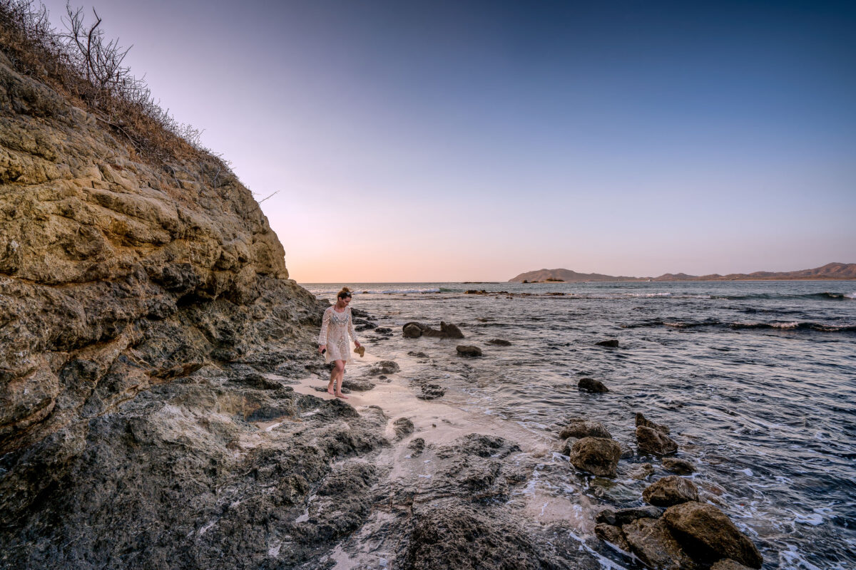
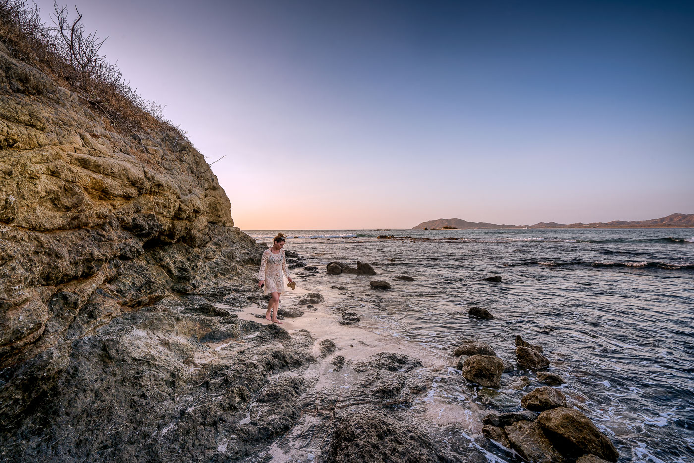
A woman walks along the rocky shoreline at Punta San Francisco Beach in Costa Rica at sunset.
Punta San Francisco Beach sits along Costa Rica's Guanacaste coast near Tamarindo, a stretch of Pacific shoreline known for its rocky outcrops and tide-exposed reef. The beach's name, meaning "San Francisco Point," marks its position along a headland separating it from neighboring stretches of sand farther south. Low tide here regularly exposes volcanic rock shelves and scattered boulders that remain submerged at higher water levels. The surrounding Guanacaste coastline formed from volcanic activity tied to the Central American Volcanic Arc, giving many of its beaches this dark, rock-strewn character rather than uniform white sand.

Sunset Walk Along Punta San Francisco Beach
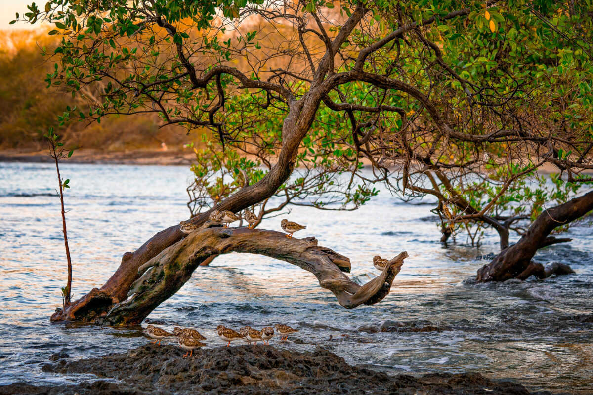
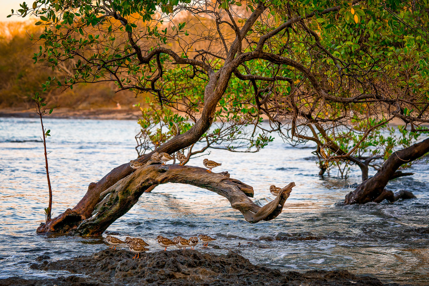
Shorebirds rest on a curved driftwood branch in shallow water among mangrove trees at Tamarindo, Costa Rica.
Tamarindo's estuary, fed by the Tamarindo River, holds one of Guanacaste's last intact mangrove systems, protected since 1995 under Las Baulas National Marine Park. The tangled red and black mangrove roots here trap sediment and shelter juvenile fish, crabs, and mollusks that draw wintering shorebirds such as sandpipers and plovers south from North America each year. These birds rely on the tidal flats for foraging at low tide and use exposed branches and roots as resting perches between feeding cycles. The estuary sits adjacent to Punta San Francisco Beach, within a few kilometers of the surf town of Tamarindo itself.

Sandpipers Roosting in a Tamarindo Mangrove Estuary
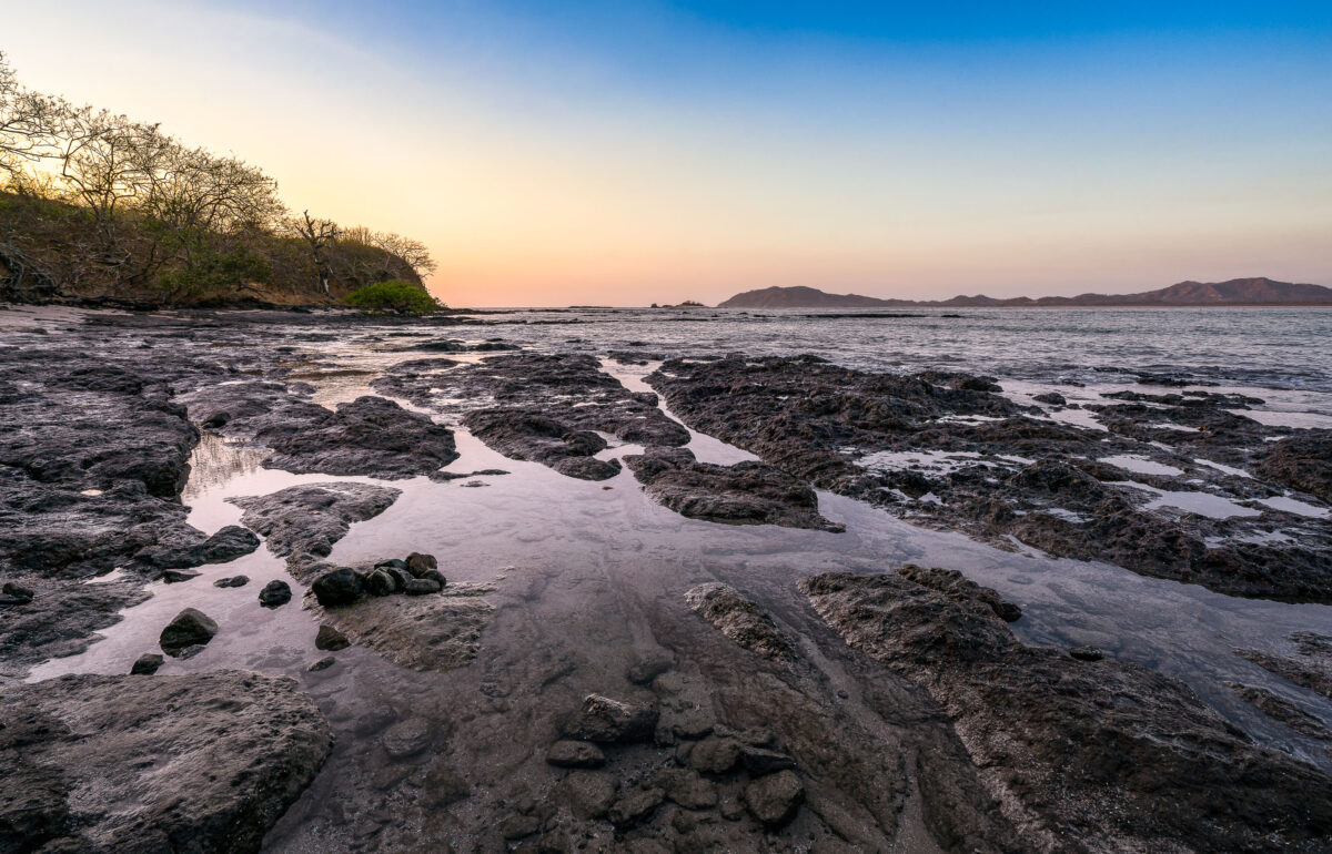
Tide pools and dark volcanic rock formations line the Pacific shoreline at Tamarindo Beach in Costa Rica at sunset.
Tamarindo Beach sits on the Pacific coast of Guanacaste Province, just south of Las Baulas National Marine Park, a protected nesting ground for leatherback sea turtles. The volcanic rock shelf exposed here at low tide runs along the shoreline toward Punta San Francisco, a rocky point separating Tamarindo from the smaller cove at Playa Langosta. Guanacaste's dry forest, visible along the point, sheds its leaves in the dry season between December and April, thinning the tree cover near the coast.

Exposed Reef at Low Tide Near Tamarindo, Costa Rica
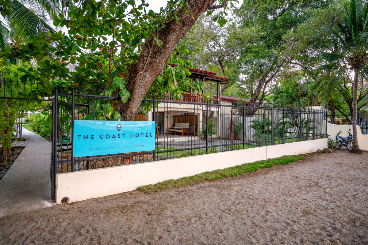
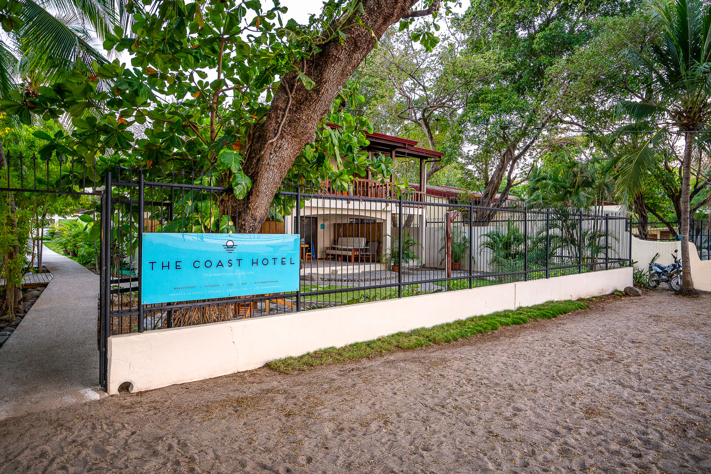
The Coast Hotel's turquoise sign hangs on a black metal fence along a sandy path in Tamarindo, Costa Rica.
The Coast Hotel sits near Punta San Francisco Beach in Tamarindo, a town on Costa Rica's Pacific coast in Guanacaste province. Tamarindo grew from a small fishing village into one of the country's most visited beach destinations, drawing surfers and travelers for its consistent breaks and proximity to Las Baulas National Marine Park, known for nesting leatherback turtles.

Fenced Entrance to The Coast Hotel, Tamarindo
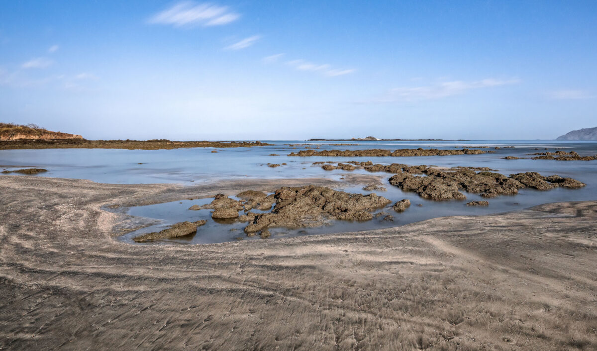
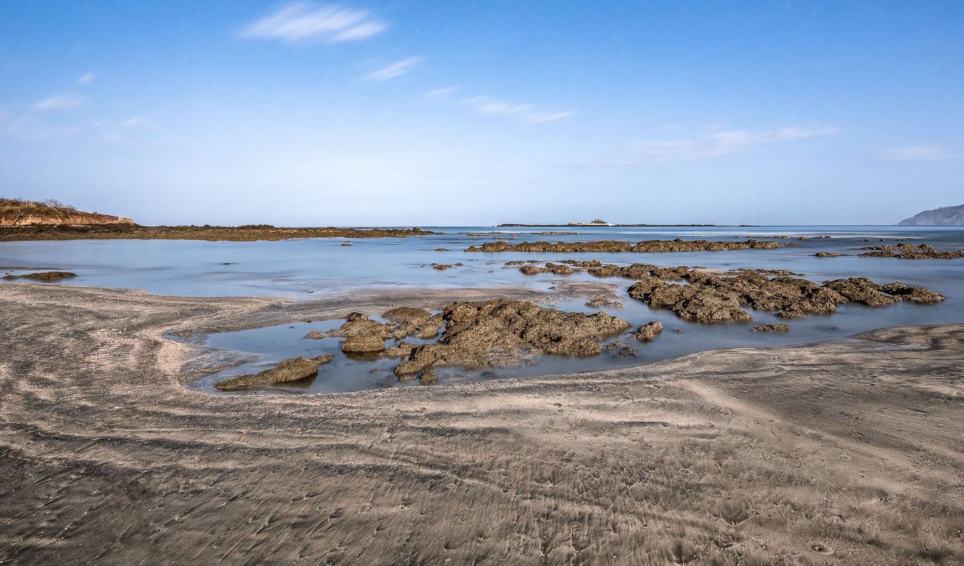
Rocky tidal pools and exposed stone formations at Punta San Francisco Beach near Tamarindo, Costa Rica, during low tide.
Punta San Francisco Beach sits along Costa Rica's Guanacaste coast near Tamarindo, a stretch known for its volcanic rock reef that emerges fully at low tide. The exposed reef creates shallow tidal pools that trap seawater as the tide recedes, a daily cycle tied to the Pacific's tidal range along this shoreline. These intertidal zones support small marine organisms adapted to alternating wet and dry conditions. The beach lies within the broader Tamarindo area, part of the dry tropical forest ecosystem that defines much of Guanacaste Province.

Exposed Reef Rocks at Punta San Francisco Beach
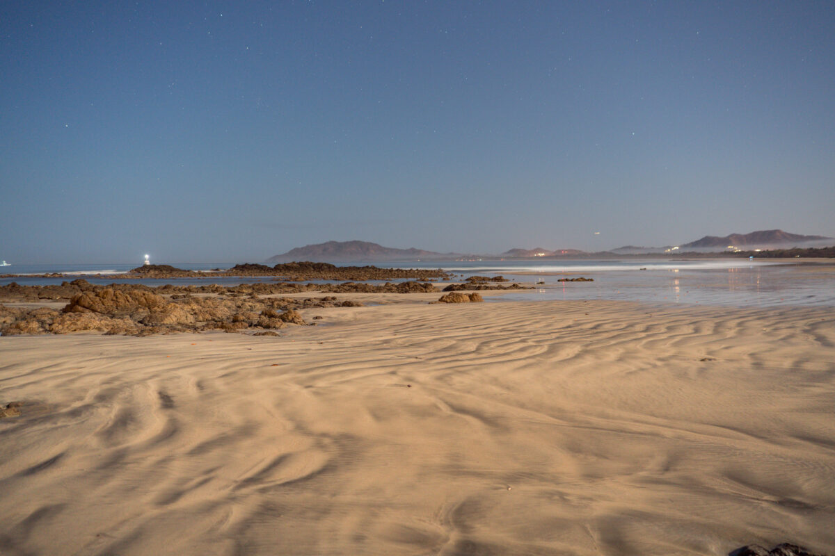
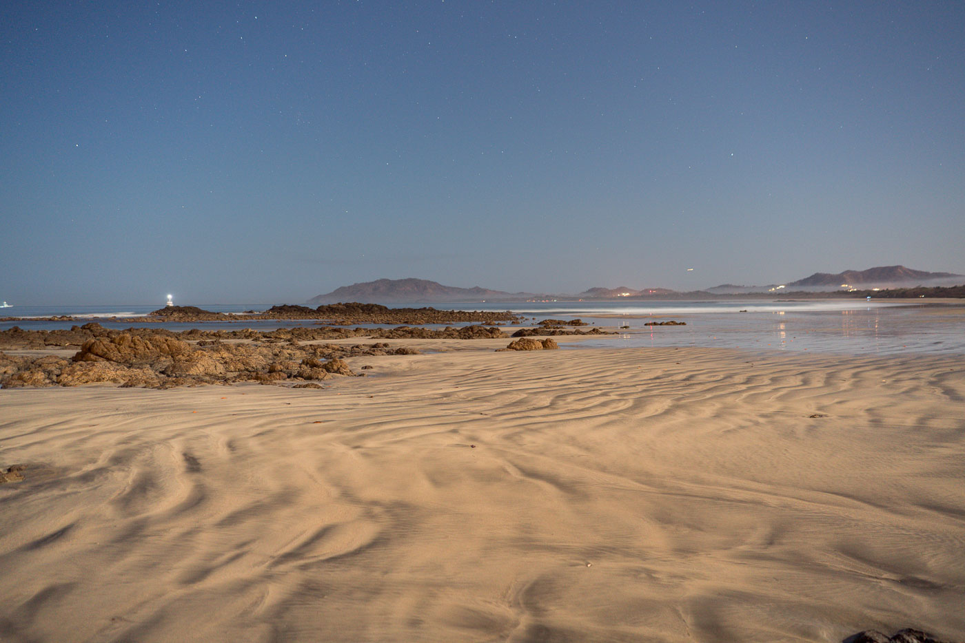
Rippled sand and rocky outcrops line the beach at Punta San Francisco near Tamarindo, Costa Rica at low tide.
Punta San Francisco Beach sits just north of Tamarindo on Costa Rica's Pacific coast, a stretch of Guanacaste known for its rocky points separating long sandy beaches. A small navigational light marks the rocky point offshore, helping boats traveling along this coastline identify the shore after dark. The surrounding waters are part of a marine zone that includes Las Baulas National Park, established to protect nesting leatherback sea turtles that come ashore along nearby beaches.

Starlit Shoreline at Punta San Francisco Beach

Sign for "Las Amapolas" Reef Runner tours at El Cocal, Ambergris Caye, Belize.
A sign for Las Amapolas at El Cocal on Ambergris Caye, Belize, advertises Reef Runner glass-bottom boat tours. The tours offer snorkeling and fishing trips to the Belize Barrier Reef, with contact information posted for visitors at the beachfront site.

Las Amapolas Sign for Reef Runner Boat Tours at El Cocal

Wooden pier at Las Terrazas Resort extends into Caribbean Sea with lounge platforms and umbrellas on Ambergris Caye, Belize.
The pier at Las Terrazas Resort on Ambergris Caye in Belize extends into the Caribbean Sea. The wooden walkway leads to overwater lounge platforms with umbrellas and seating, part of the resort’s waterfront access for guests arriving by boat.

Las Terrazas Resort Pier, Ambergris Caye

Weathered Las Terrazas Belize sign partially submerged in shallow water off San Pedro, Belize.
A weathered wooden Las Terrazas Belize sign stands in shallow water off San Pedro, Ambergris Caye, Belize. The hand-painted structure marks the beachfront resort property on the Caribbean coast.

Las Terrazas Sign, San Pedro, Belize
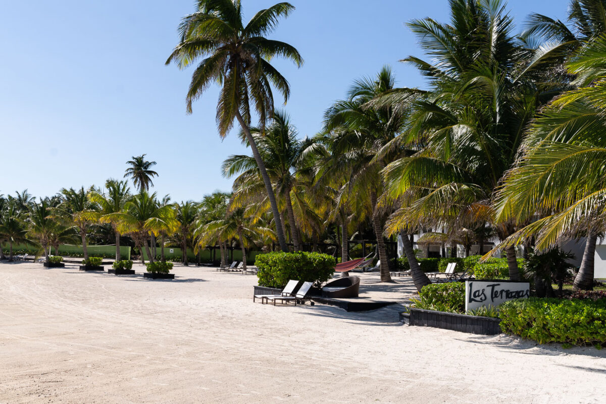
Las Terrazas Resort on Ambergris Caye, Belize, features beachfront accommodations with palm trees and lounge chairs.
Las Terrazas Resort on Ambergris Caye near San Pedro, Belize, includes beachfront guest areas bordered by palm trees and sand. The resort is a tourism property on the island off Belize’s Caribbean coast.

Las Terrazas Resort, San Pedro, Belize
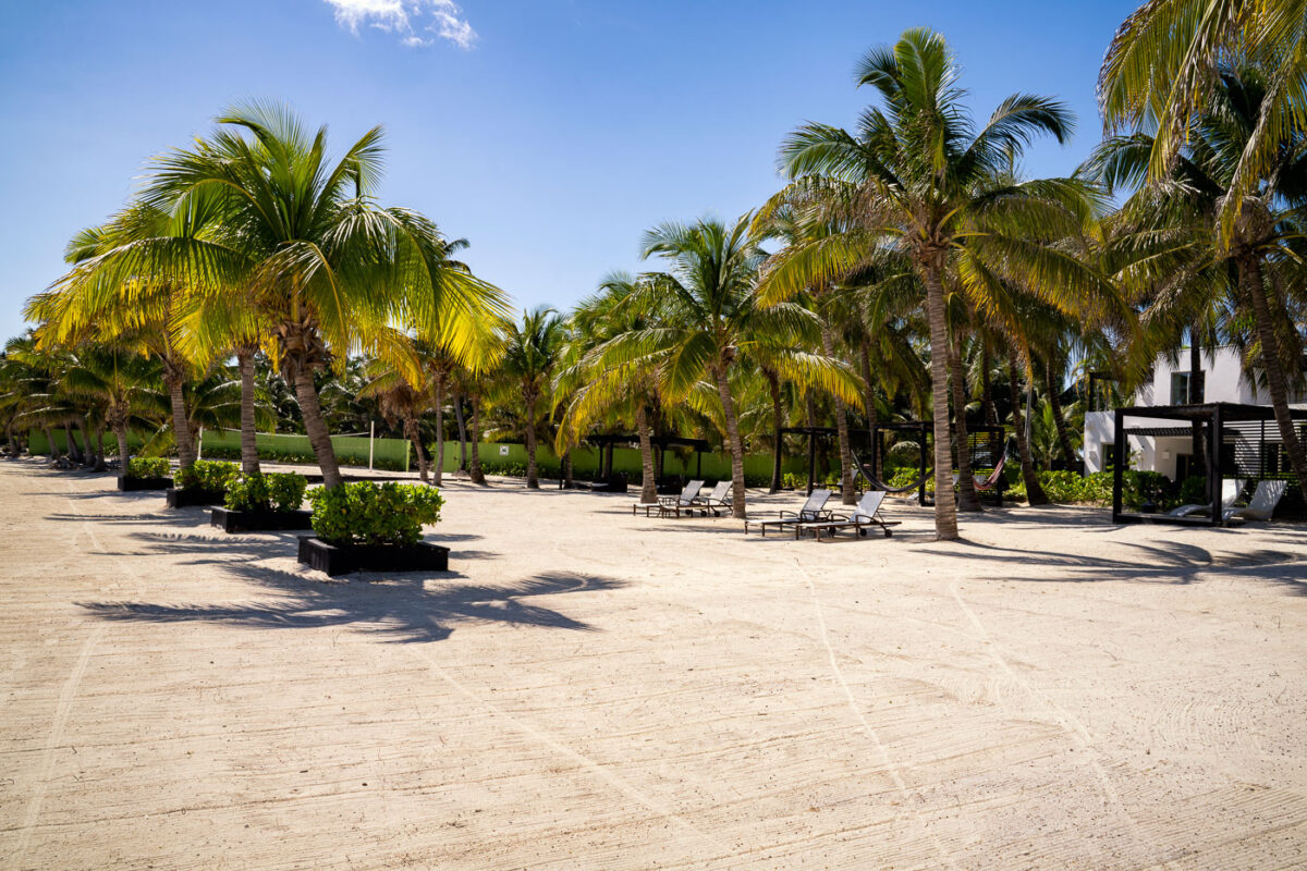
Palm trees and lounge chairs on the sandy beach at Las Terrazas Resort in San Pedro, Belize.
The beach area at Las Terrazas Resort in San Pedro, Belize, features rows of palm trees, lounge chairs, and shaded cabanas on the sand. The resort is on Ambergris Caye, a Caribbean island known for its tourism and beachfront accommodations.

Las Terrazas Resort Beach, San Pedro, Belize

Palm-lined pathway at Las Terrazas Resort leads toward Caribbean Sea on Ambergris Caye, Belize.
The pier at Las Terrazas Resort on Ambergris Caye, Belize, extends into the Caribbean Sea. A path lined with palm trees leads from the resort grounds to the waterfront, where the pier provides access to the sea for guests.

Palm-Lined Path to Las Terrazas Resort, Ambergris Caye

Built in Minneapolis

Minneapolis Photographer

Browse by location, move through long-running series, or start with recent work.