Place Archive

Minnesota

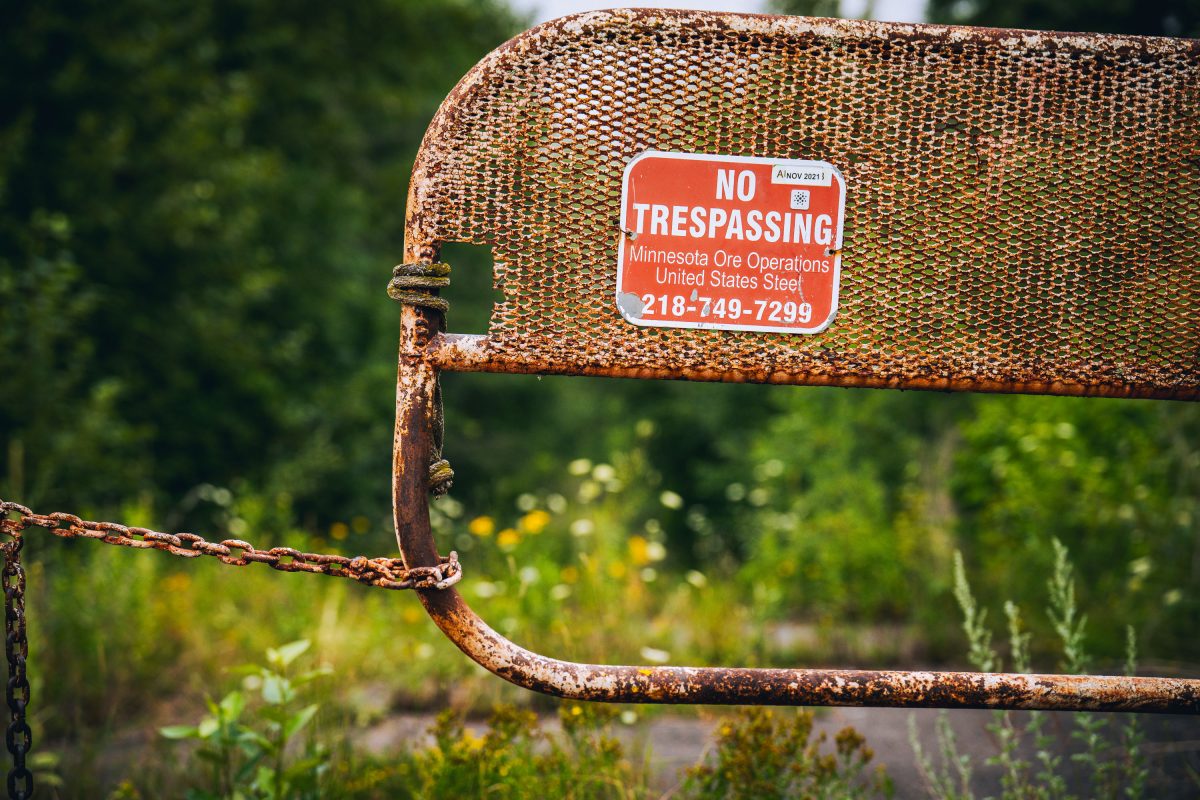
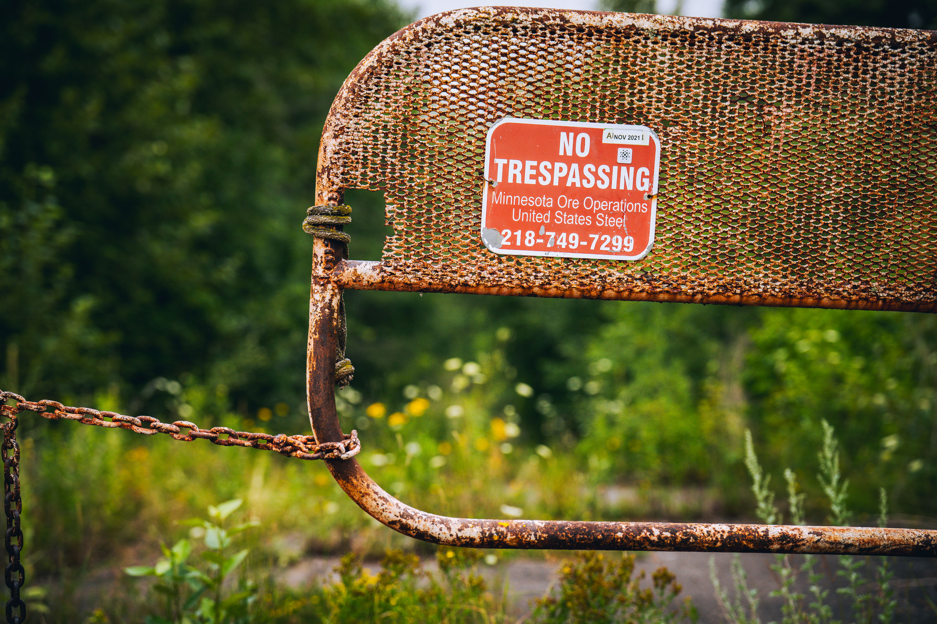
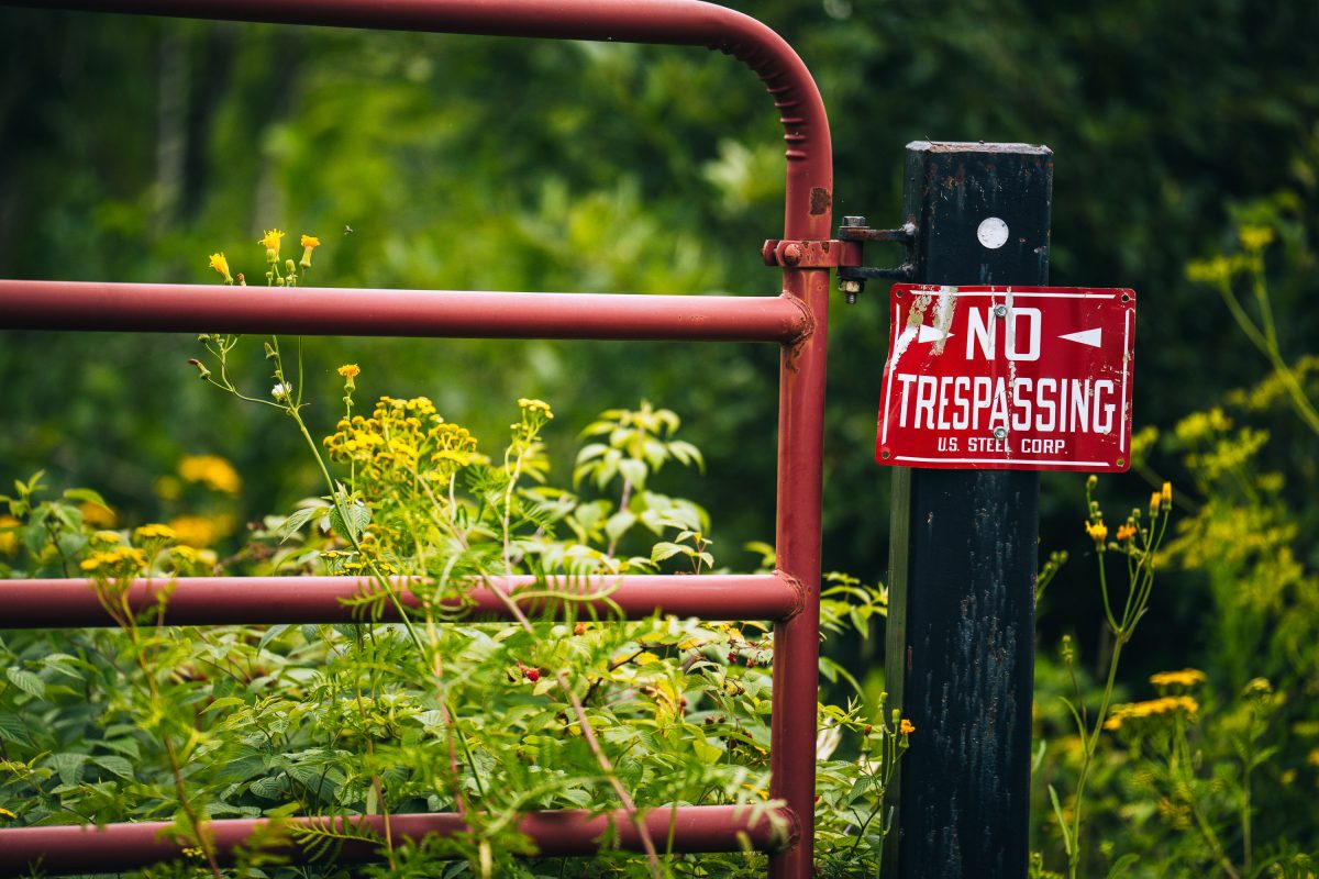
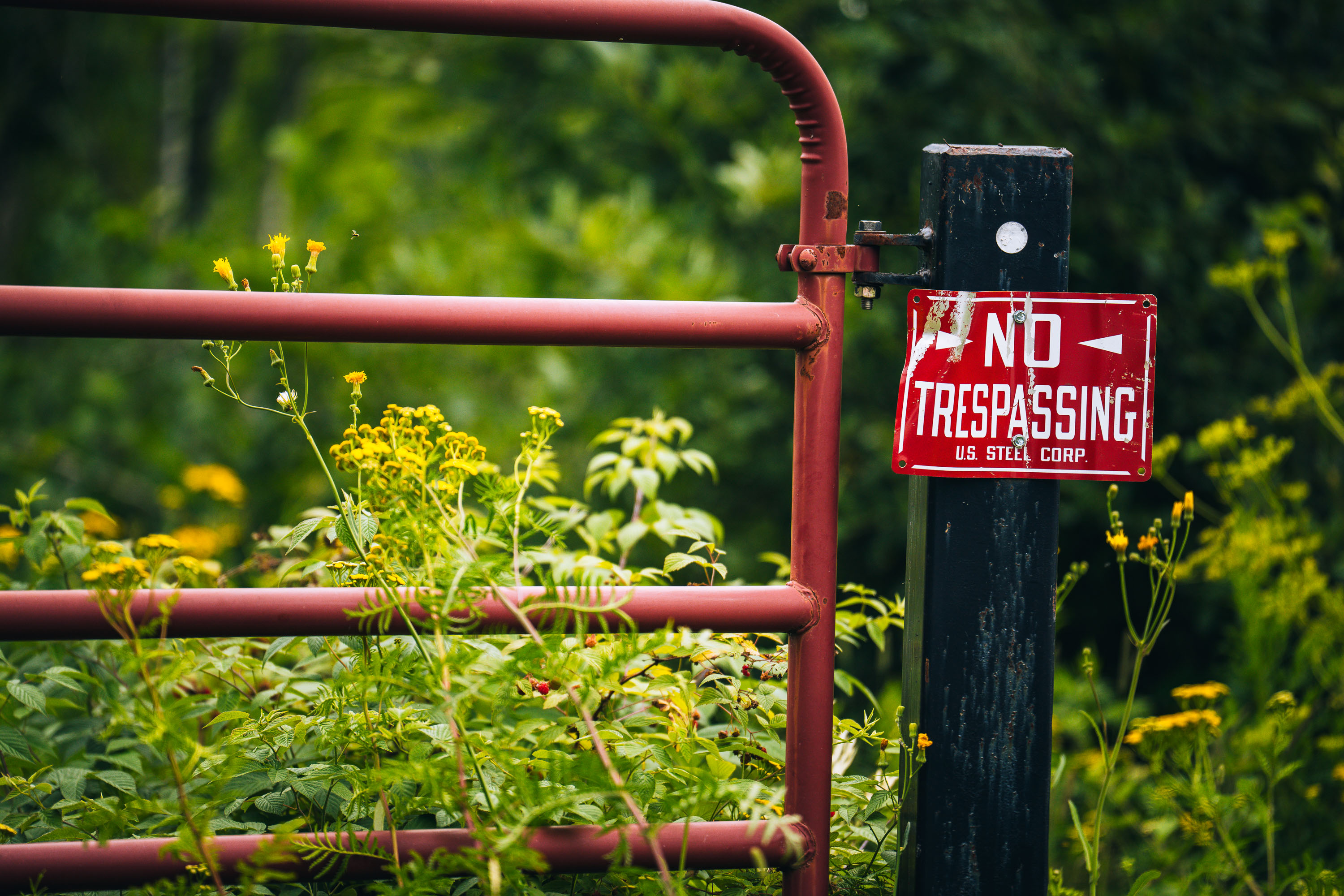
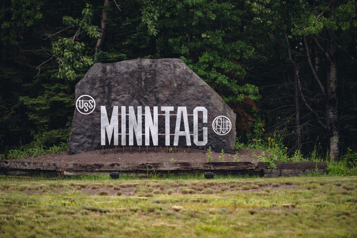
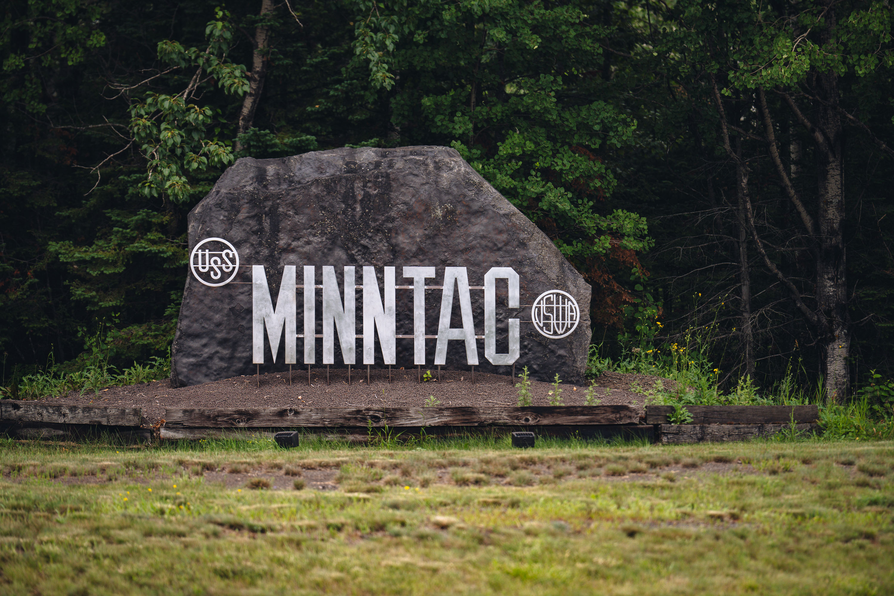
Photographs document industrial sites on the Iron Range, including Polymet Mining’s operations in Hoyt Lakes and signage from LTV Steel in Babbitt. Additional imagery features civic buildings in Willow River and historic waterfront structures like Fitger’s in Duluth.

136 photos

Cities

Photos from Minnesota
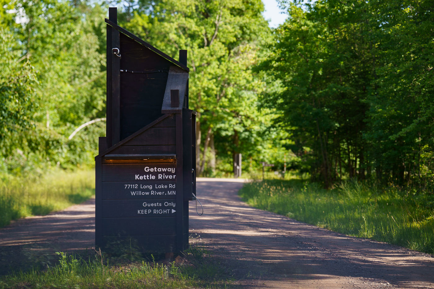
Getaway Kettle River entrance sign on Long Lake Road in Willow River, Minnesota.
Getaway Kettle River is located on Long Lake Road in Willow River, Minnesota. The property entrance is marked by a roadside sign directing guests to the driveway. Willow River lies in Pine County in northeastern Minnesota.
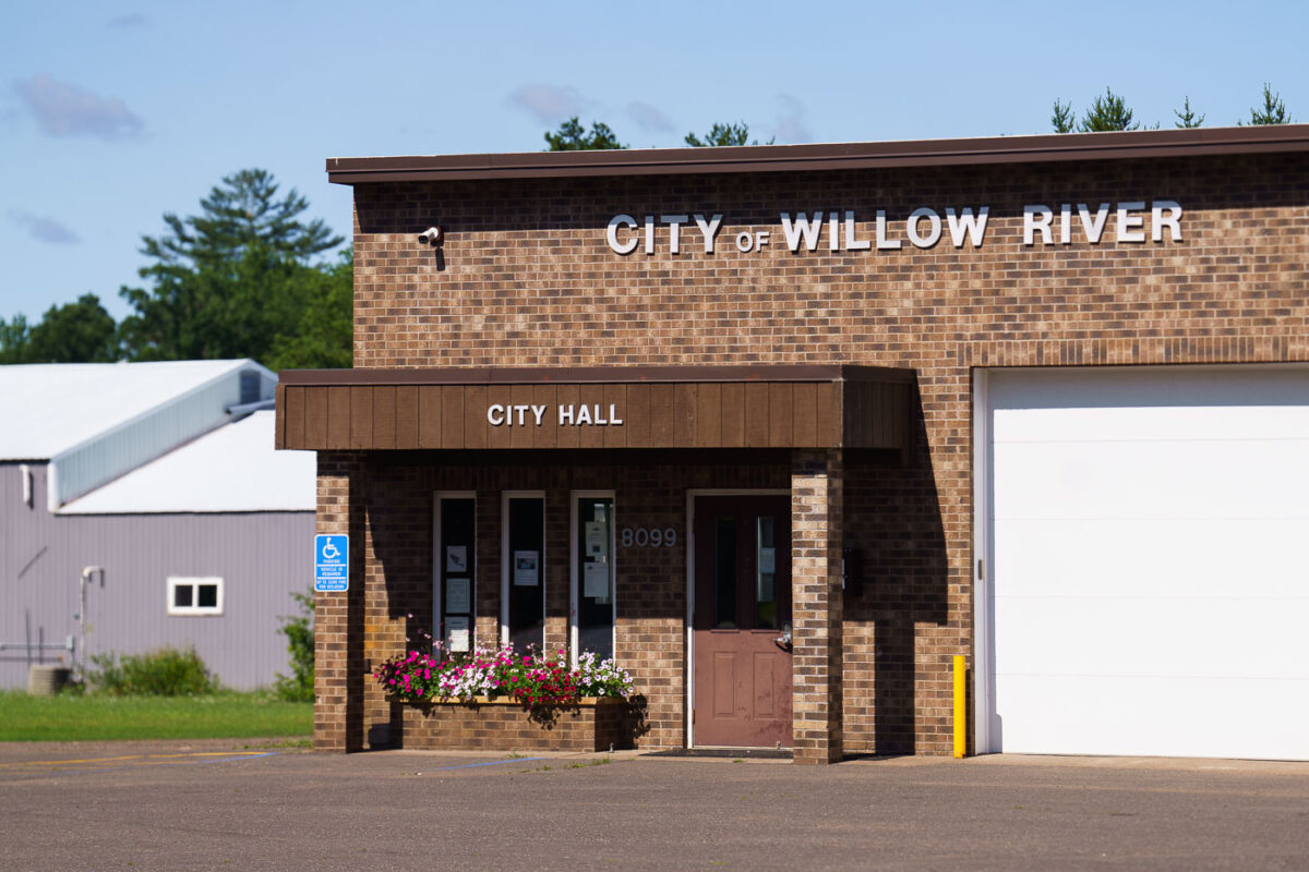
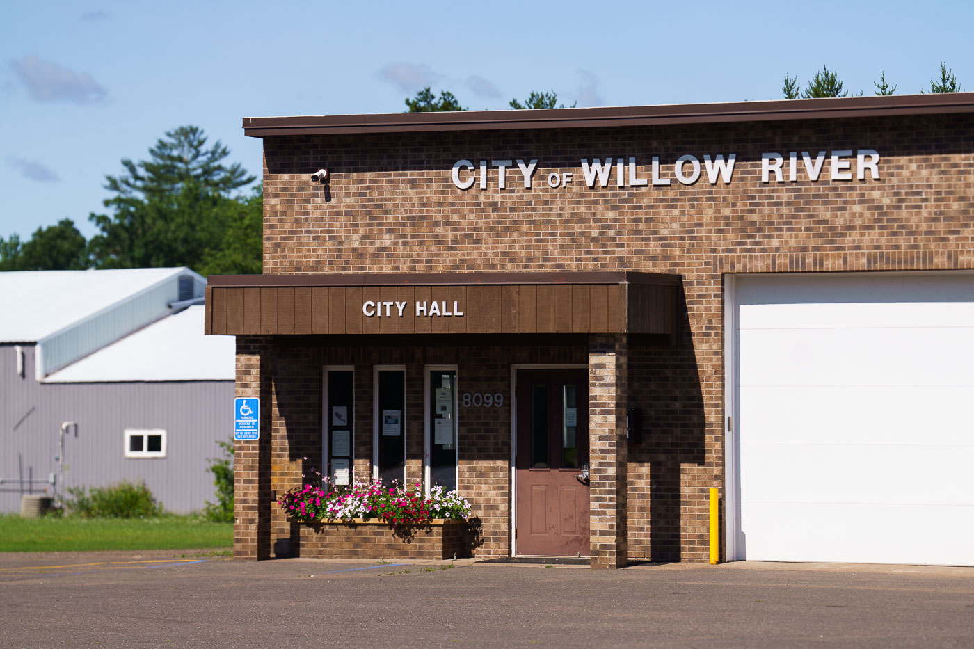
Willow River City Hall in Willow River, Minnesota, with a brick facade and covered entrance.
Willow River City Hall in Willow River, Minnesota, houses the city’s municipal offices. The brick building has a covered entry and an attached garage bay on the right side.
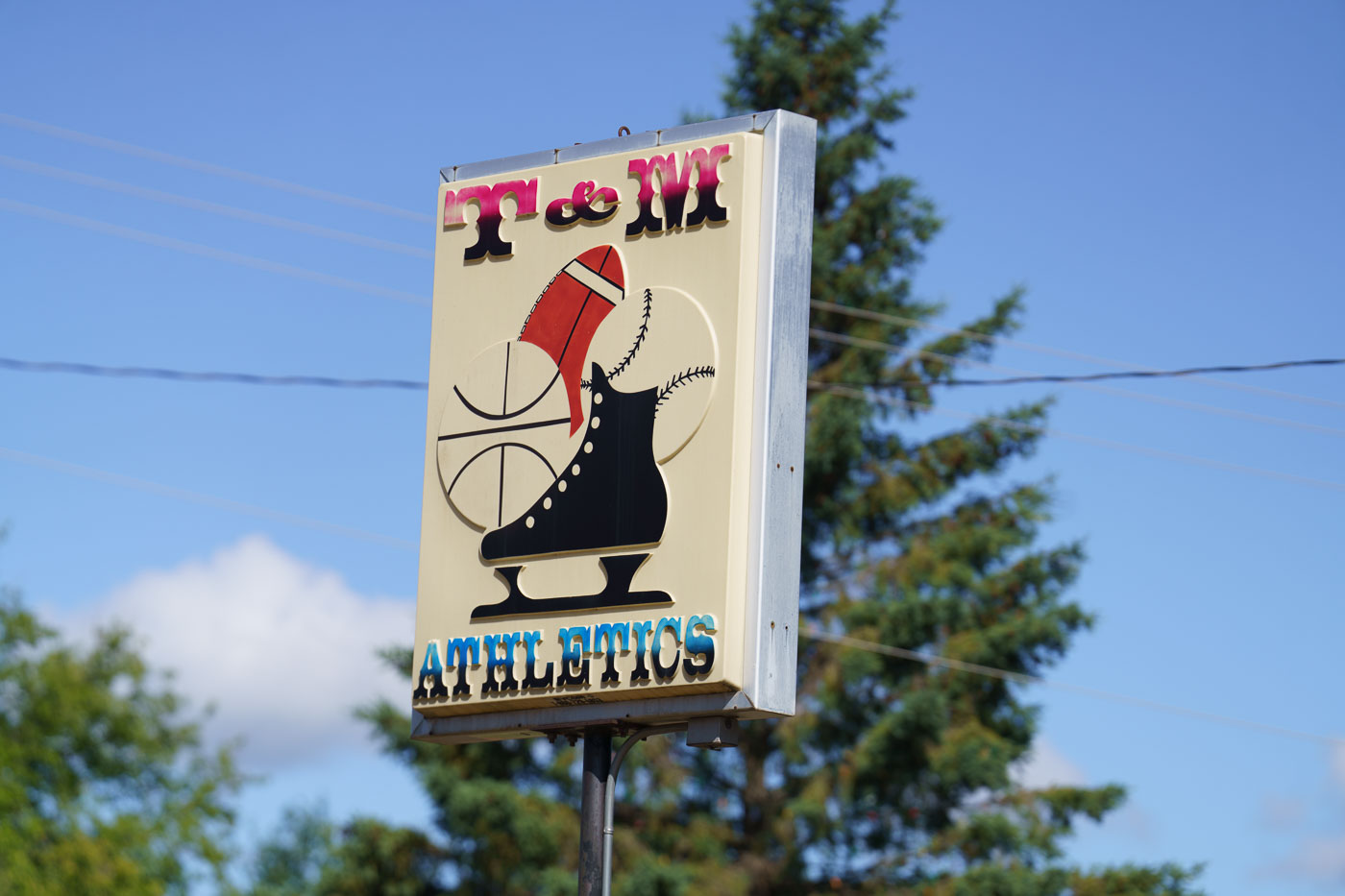
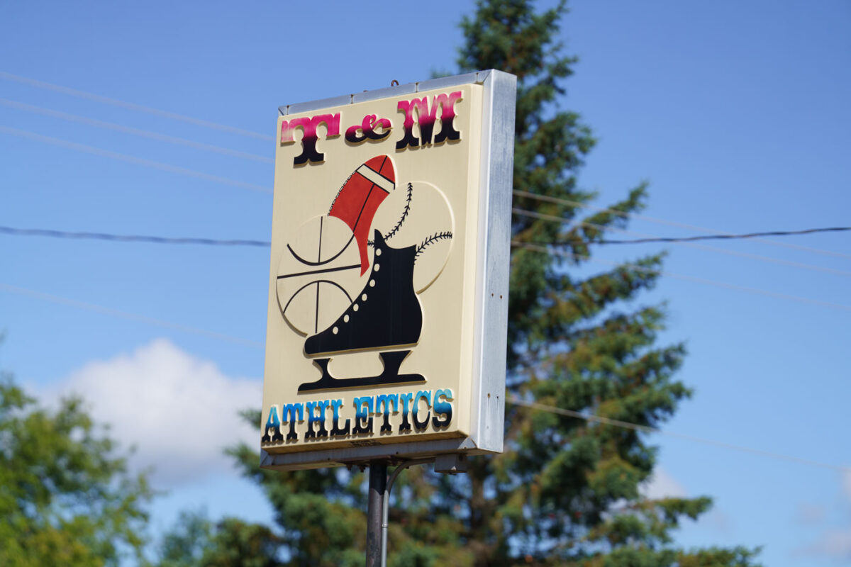
T&M Athletics sign in Willow River, Minnesota.
T&M Athletics in Willow River, Minnesota, operates under a roadside sign featuring sports equipment imagery. The business name is displayed on the sign in a small-town commercial setting.
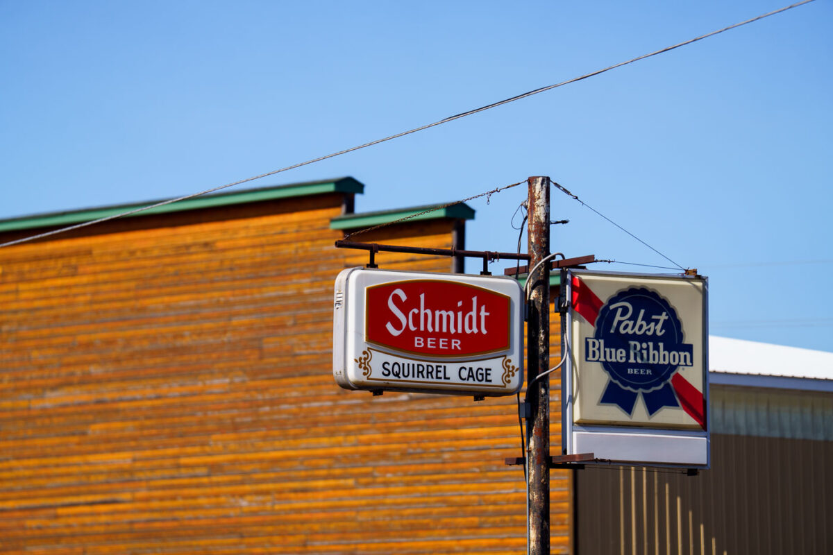
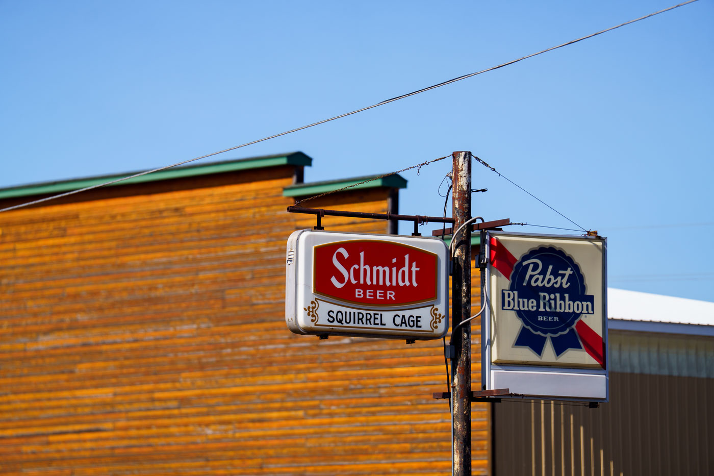
Squirrel Cage bar signs for Schmidt Beer and Pabst Blue Ribbon in Willow River, Minnesota.
Squirrel Cage bar in Willow River, Minnesota, is identified by hanging signs for Schmidt Beer and Pabst Blue Ribbon. The signs are mounted on a pole beside the building.
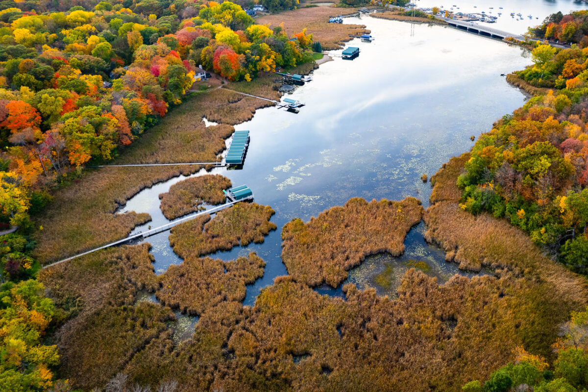
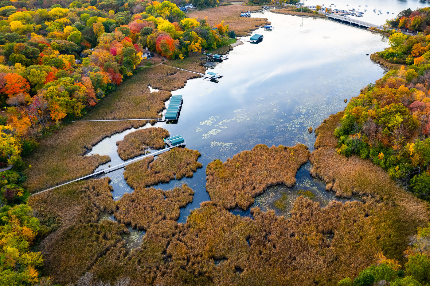
Lake Minnetonka wetlands and boat slips near Deephaven, Minnesota.
Lake Minnetonka wetlands and boat slips near Deephaven, Minnesota. This shallow eastern bay includes marsh habitat along the shoreline and private docks extending from nearby homes. The area is part of the lake’s connected basin system and lies near the Deephaven and Greenwood shoreline communities.
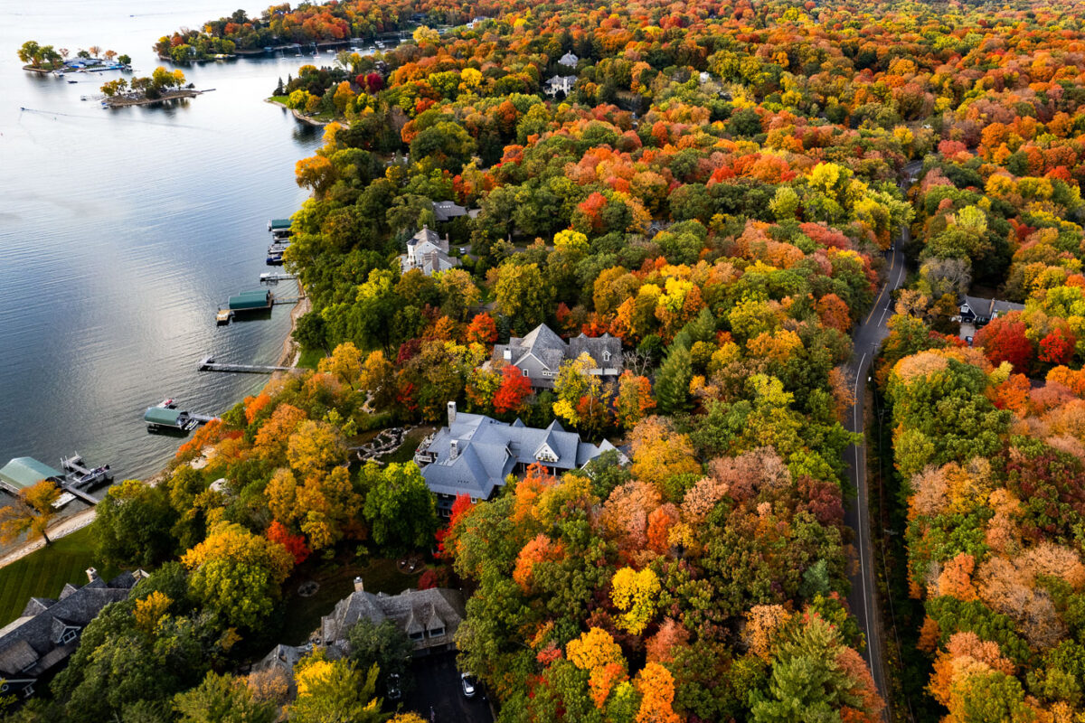
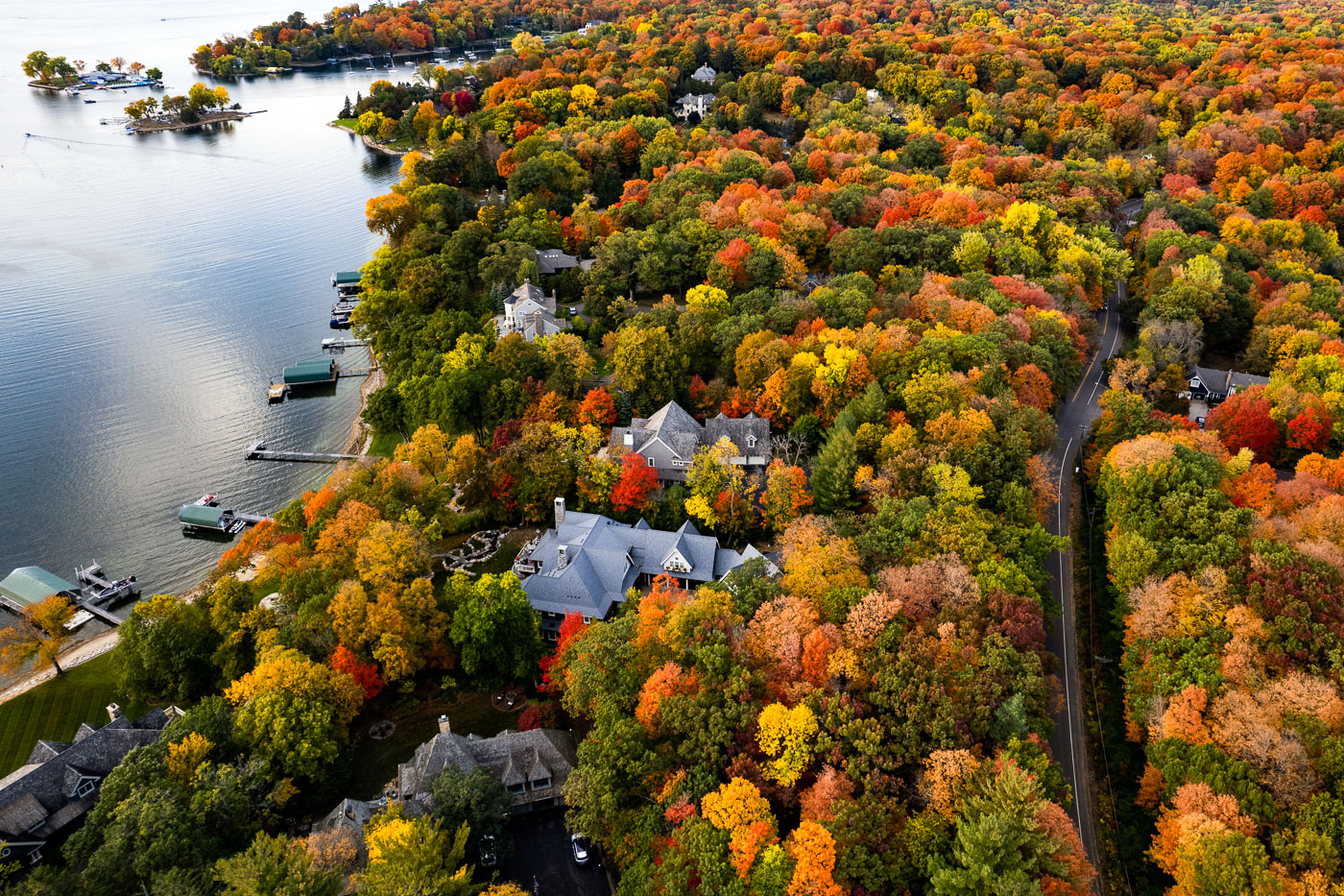
Deephaven, Minnesota shoreline homes on Lake Minnetonka surrounded by autumn trees.
Deephaven, Minnesota, lines the southeastern shore of Lake Minnetonka. The community is known for wooded residential lots, shoreline homes, and private docks along sheltered coves and peninsulas. In autumn, the dense tree cover surrounding the lakefront homes turns vivid shades of red, yellow, and orange.
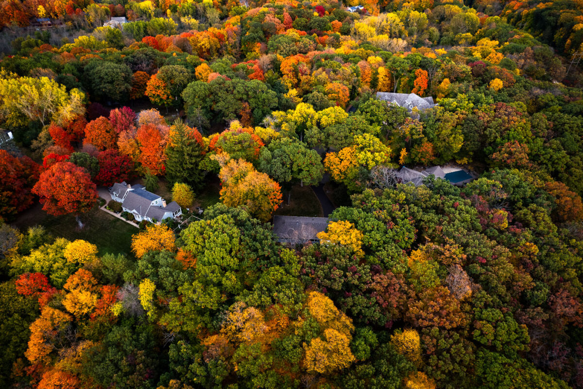
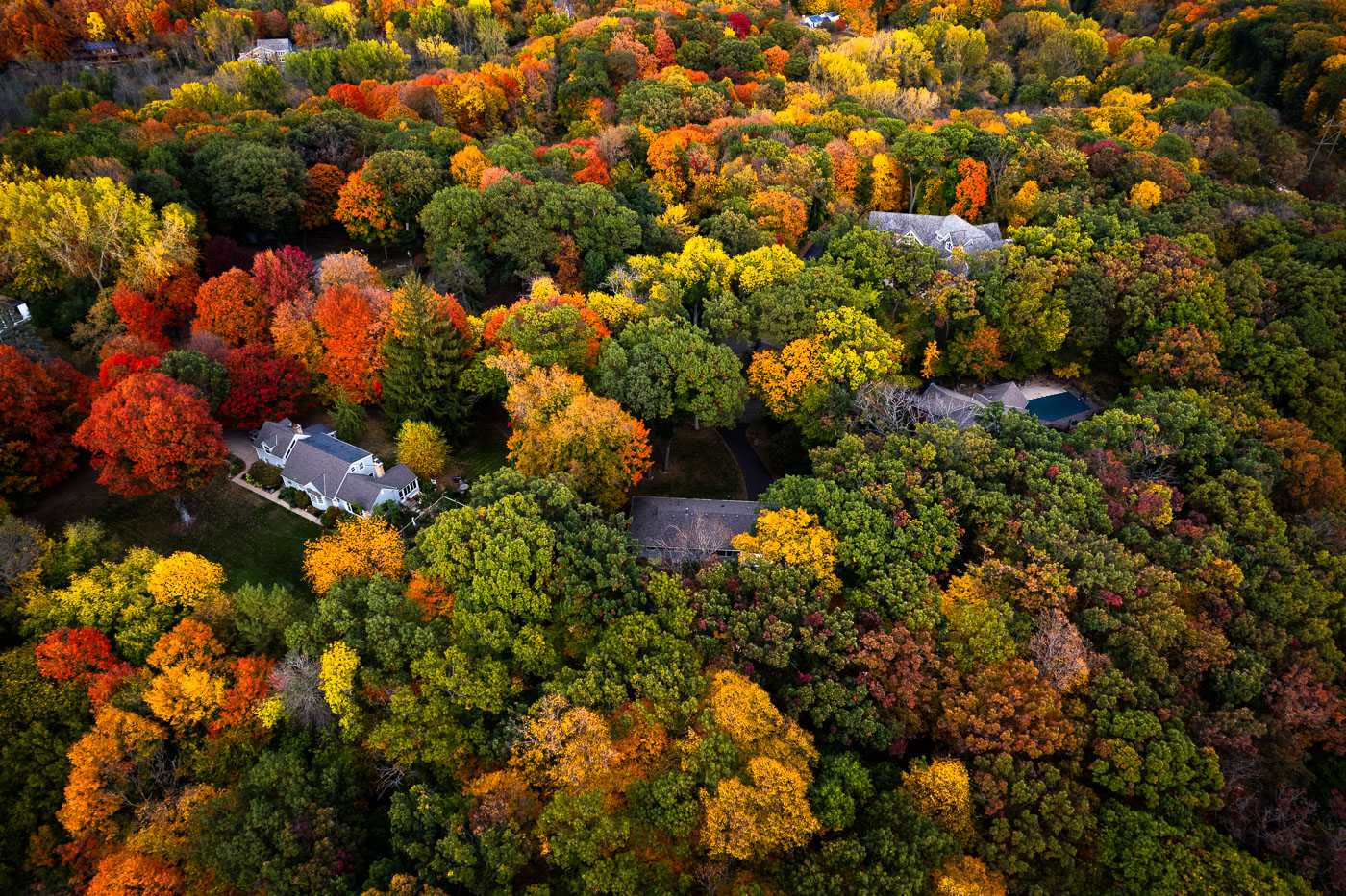
Deephaven, Minnesota residential canopy near Lake Minnetonka in autumn.
Deephaven, Minnesota, near Lake Minnetonka, is characterized by large wooded residential lots and mature hardwood trees. In autumn, the neighborhood’s canopy forms a dense mix of maple, oak, and basswood color across the shoreline community. The area developed with low-density housing and preserves extensive tree cover between homes and roads.
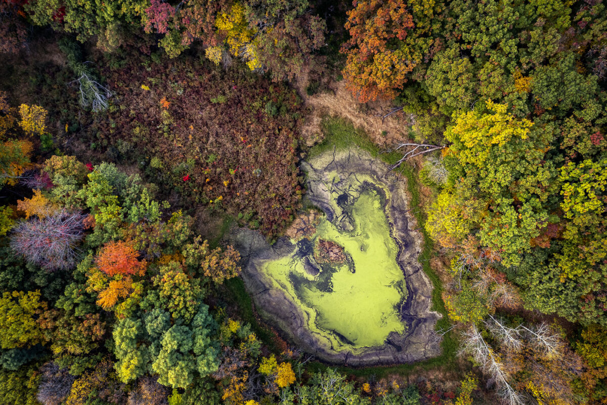
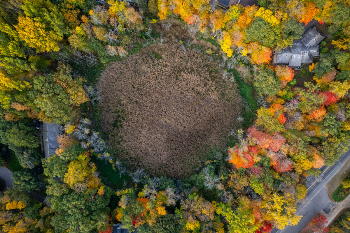
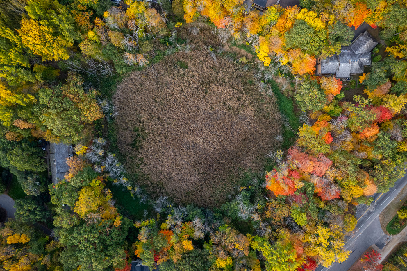
Deephaven wetland basin near Lake Minnetonka surrounded by autumn woods.
Deephaven wetland basin near Lake Minnetonka, Minnesota. Seasonal low water has exposed mudflats around the basin, with surrounding hardwoods and pines in autumn color.
Deephaven lakeside road near Lake Minnetonka bordered by dense autumn trees.
Deephaven, Minnesota, along a lakeside road near Lake Minnetonka. Mature hardwoods and pines form a dense residential canopy in autumn color along the shoreline.
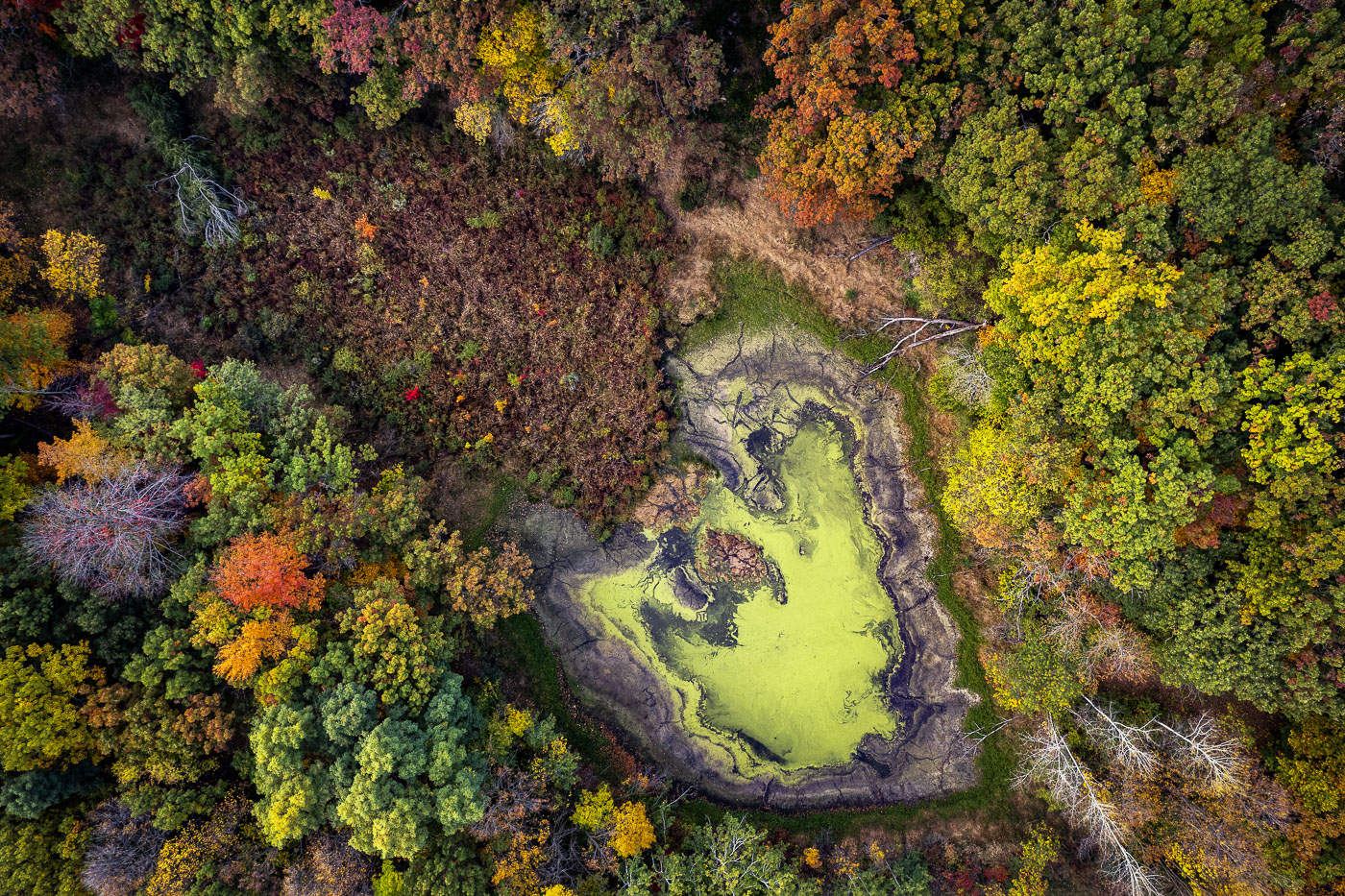
Deephaven wetland basin near Lake Minnetonka surrounded by autumn trees.
A wetland basin in Deephaven, Minnesota, lies amid tree-lined residential streets near Lake Minnetonka. The surrounding canopy is in peak autumn color.
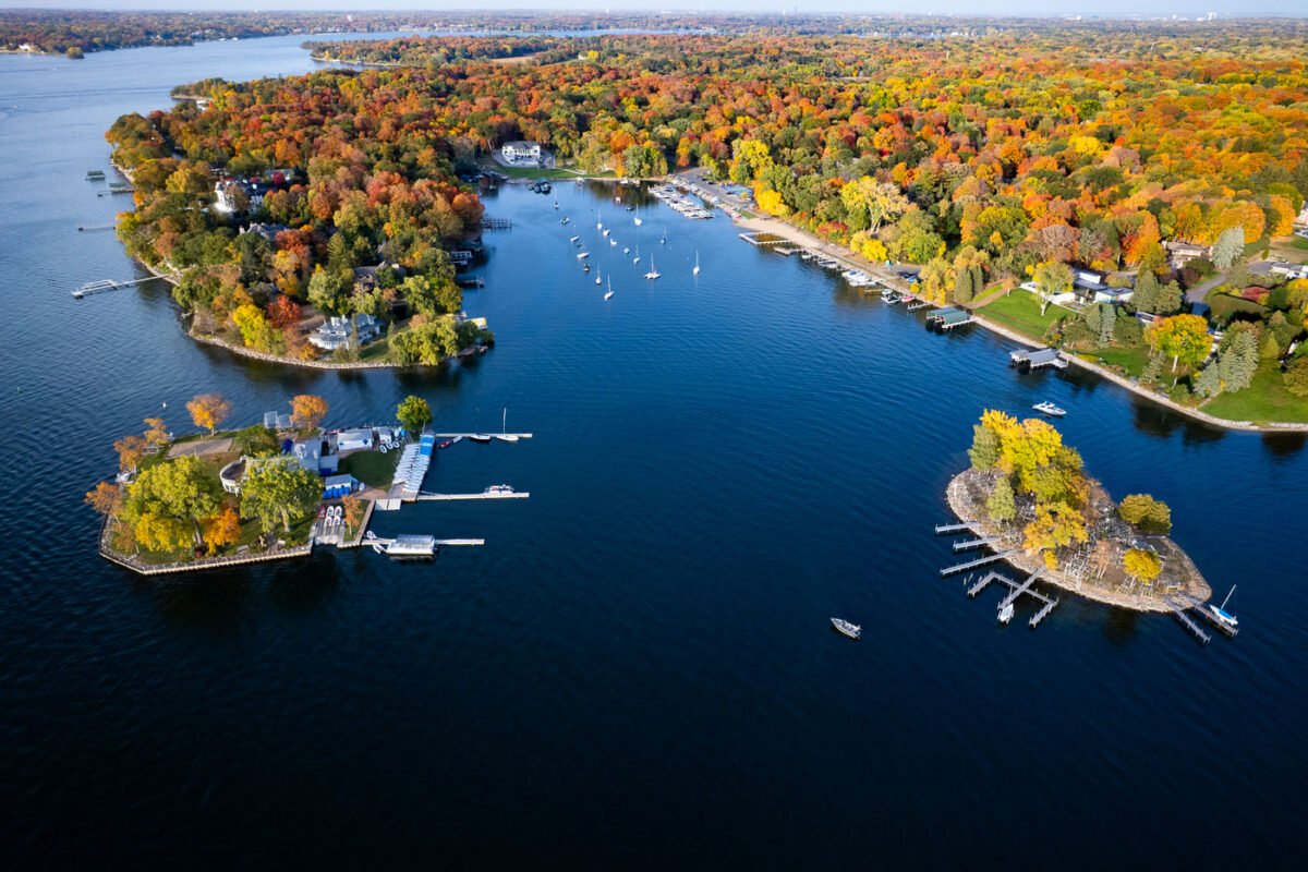
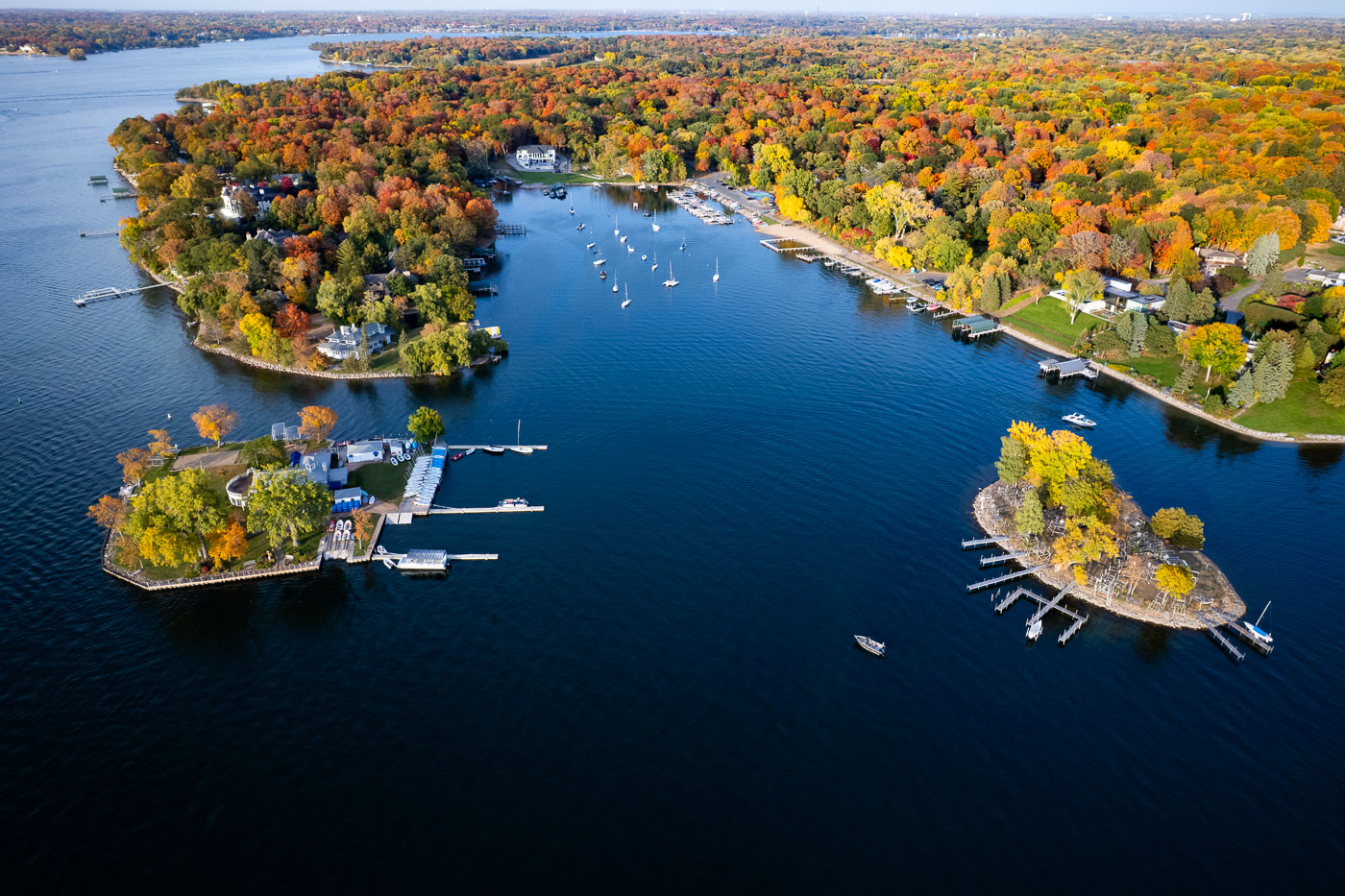
Lake Minnetonka near Deephaven, Minnesota, bordered by wooded coves, docks, and sailboats in autumn.
Lake Minnetonka near Deephaven, Minnesota, is bordered by wooded peninsulas, sheltered bays, and private docks. The lake’s irregular shoreline has long supported boating and lakeside residential development. Peak fall color covers the surrounding neighborhoods and wooded shoreline.
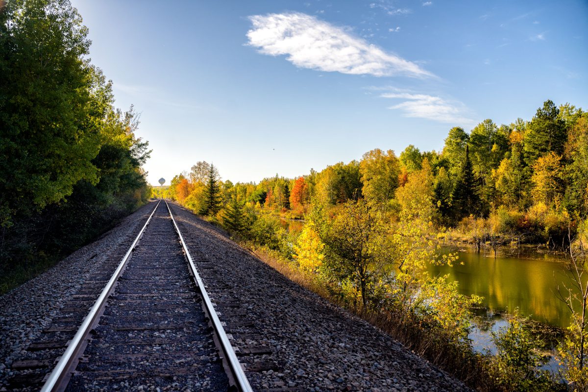
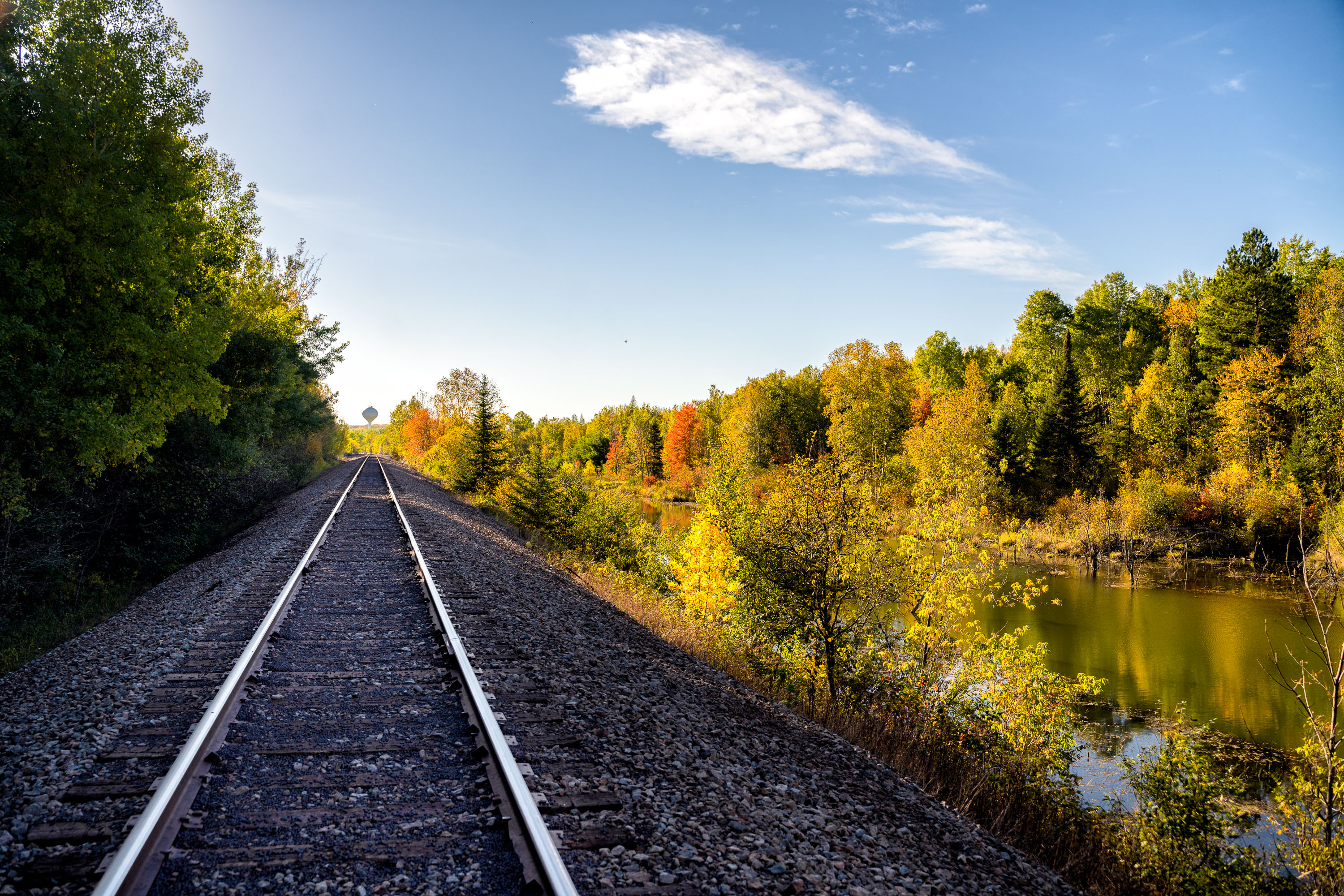
Railroad tracks curve past autumn trees and a wetland pond near Hibbing, Minnesota.
Hibbing sits atop one of the richest iron ore deposits in the Mesabi Range, and rail lines like this one have long served the mining industry that built the town. The Hibbing Taconite Company operates nearby, processing taconite pellets for shipment to steel mills around the Great Lakes. Much of Hibbing itself was relocated in the 1920s to allow mining to expand beneath the original townsite. The surrounding wetlands and second-growth forest reflect decades of land reclamation following open-pit mining in the region.
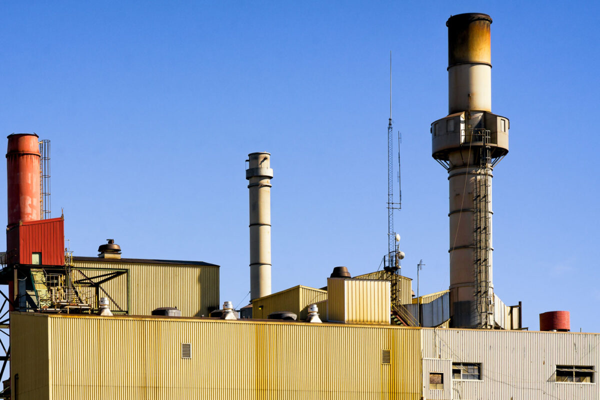
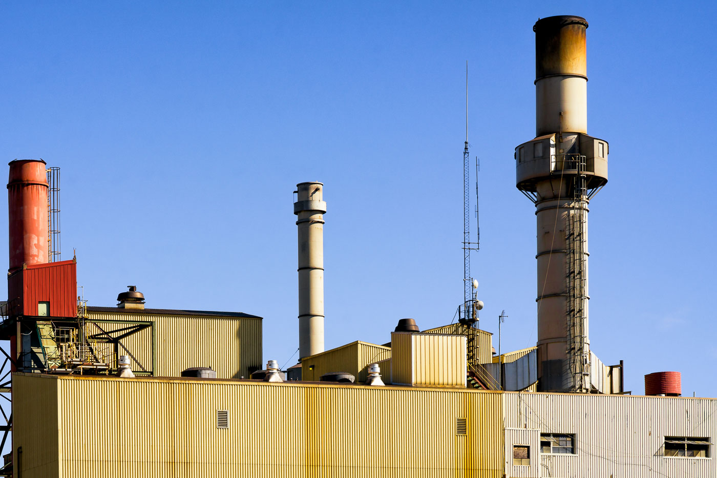
Hibbing power plant smokestacks in Hibbing, Minnesota, with low industrial buildings below.
The Hibbing power plant is located in Hibbing, Minnesota, with several smokestacks rising above the facility’s low industrial buildings. The plant is part of the city’s long-standing energy and industrial infrastructure in the Iron Range region. Rust and weathering are visible on the tallest stacks and surrounding metal structures.
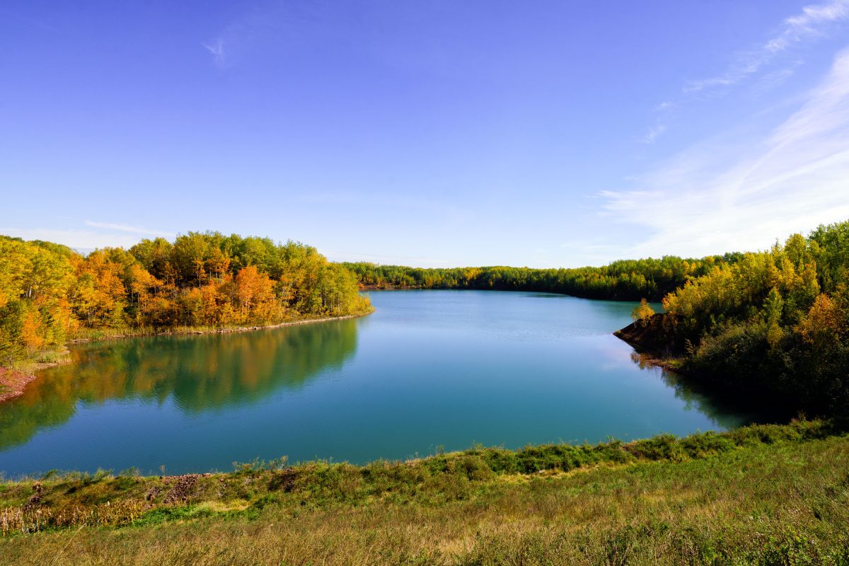
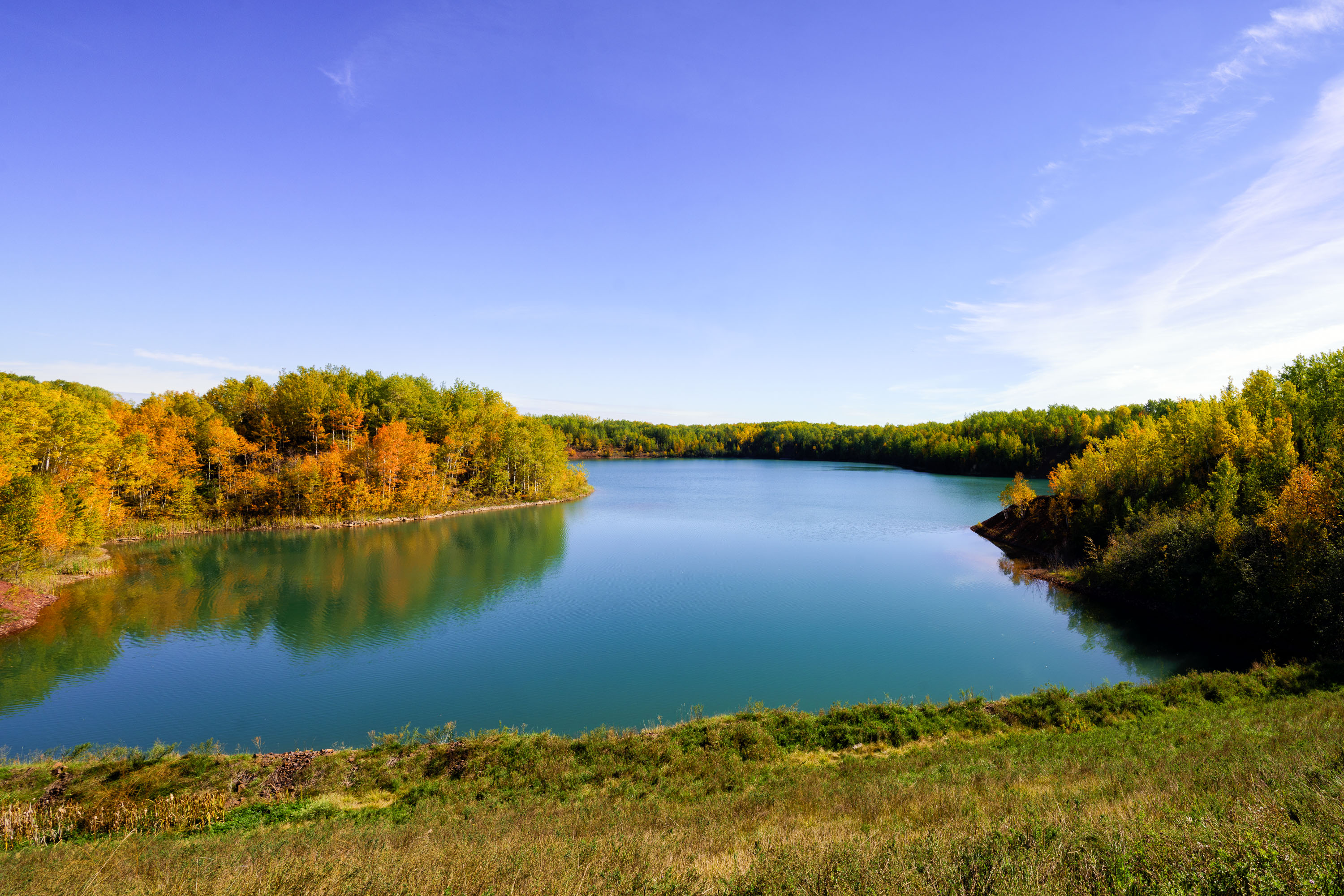
Water-filled Wacootah Mine pit surrounded by autumn forest near Mountain Iron, Minnesota.
The Wacootah Mine was an iron ore pit on Minnesota's Mesabi Range, near Mountain Iron in St. Louis County. Mining operations in the area date to the late 1800s, part of the broader Mesabi Range district that once supplied a large share of the nation's iron ore. Like many exhausted pits on the Range, the former excavation has filled with groundwater, forming a lake within the surrounding second-growth forest. The site sits within the same mining district as the nearby Minntac operation, one of Minnesota's largest active taconite processing plants.
Graffiti reading “Summer 2012” on a rusted metal wall beside a sidewalk.
Graffiti reading “Summer 2012” is painted on a rust-streaked metal wall beside a sidewalk and roadway. The wall’s paint is peeling, and corrosion covers much of the surface. Faded markings remain visible on the right side of the panel.
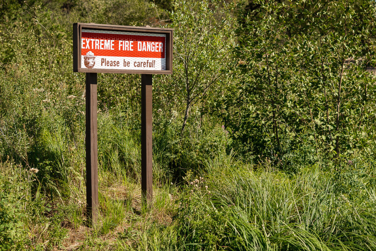
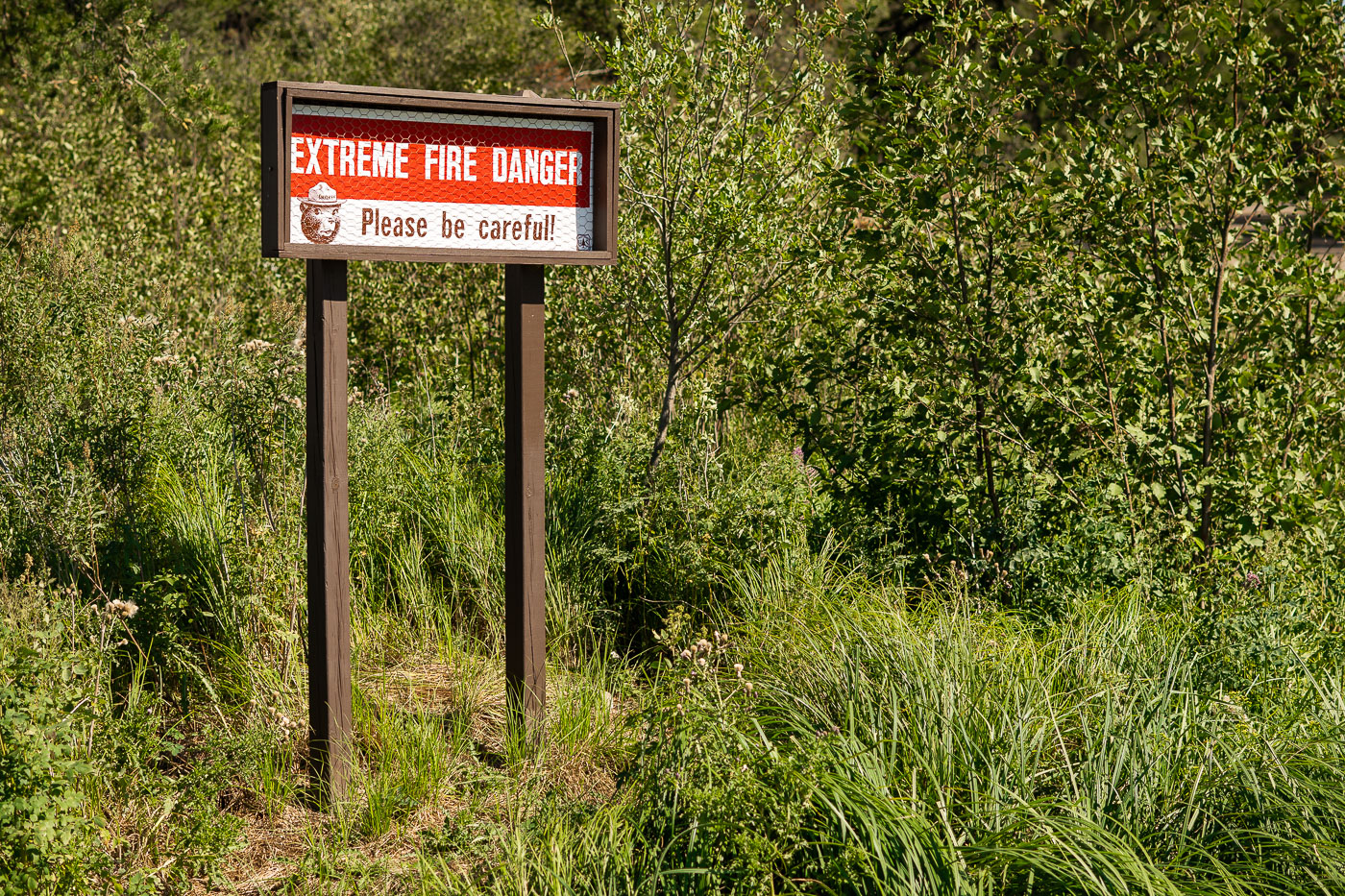
Extreme fire danger sign with Smokey Bear graphic posted along a roadside in Minnesota's Iron Range.
Smokey Bear has appeared on fire danger warning signs since the U.S. Forest Service launched the prevention campaign in 1944, later adopting the "Only you can prevent forest fires." Signs like this one use an adjustable gauge to alert travelers to current wildfire risk levels, ranging from low to extreme. Minnesota's Iron Range, a region of dense forest and dry underbrush north of Babbitt, sees these postings along roadsides during periods of low rainfall.
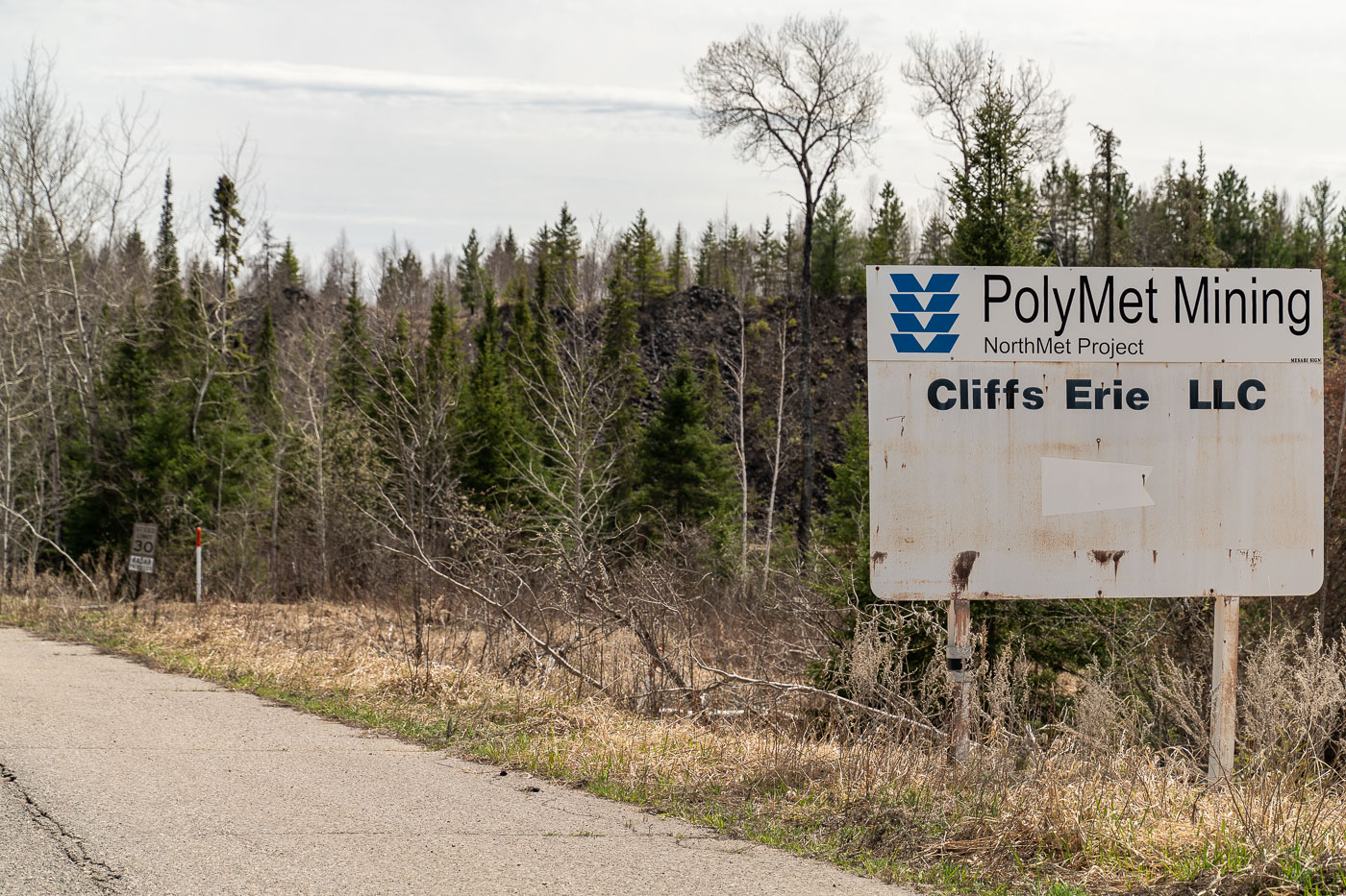
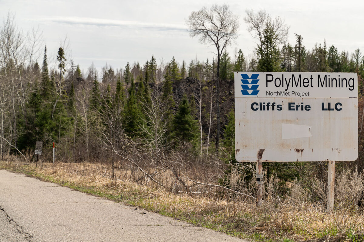
PolyMet Mining NorthMet Project sign beside a road in the Iron Range, Minnesota
A roadside sign for the PolyMet Mining NorthMet Project stands along a paved road in the Iron Range of northern Minnesota. The weathered sign also names Cliffs Erie LLC, and a small speed limit sign is posted farther down the road.
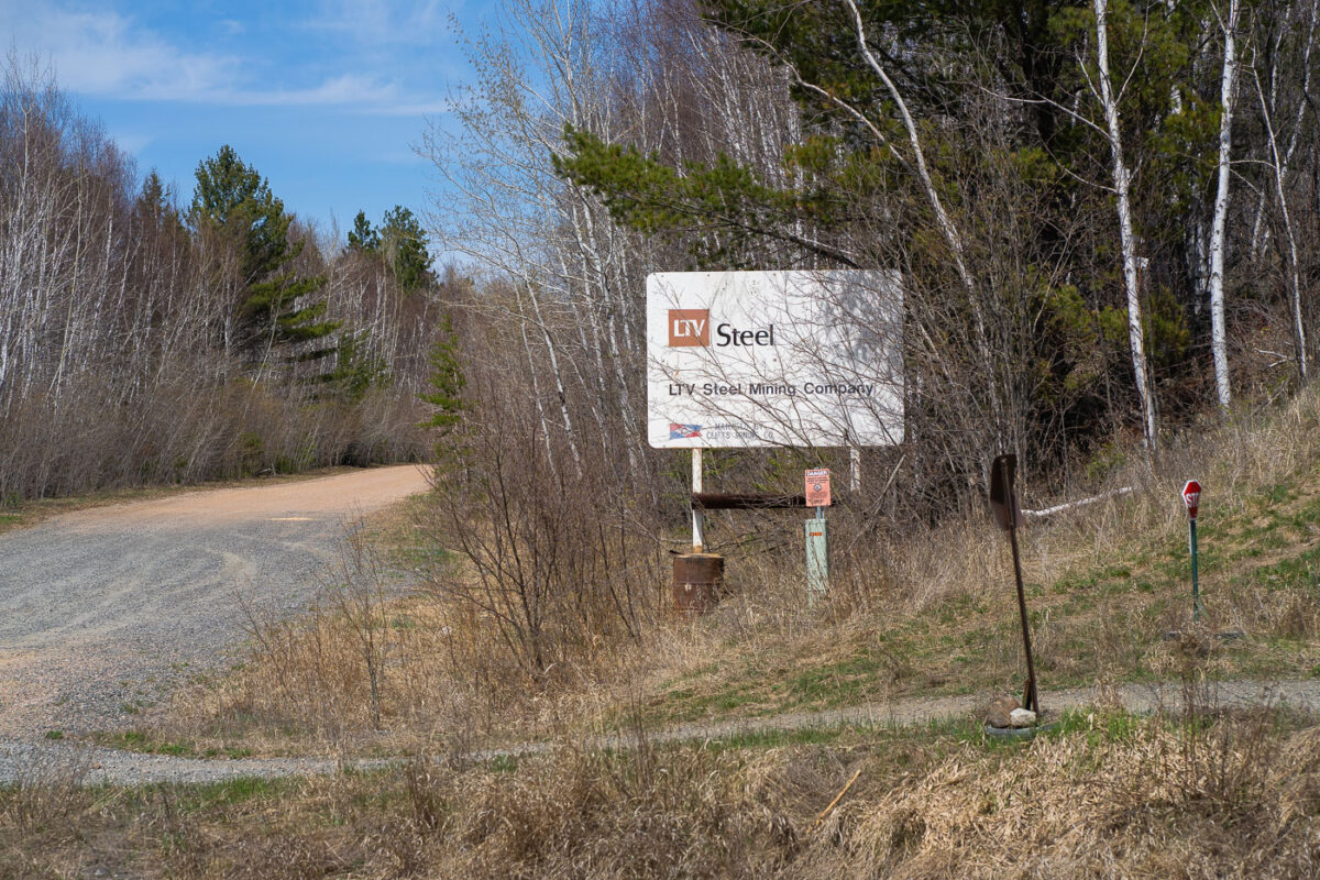
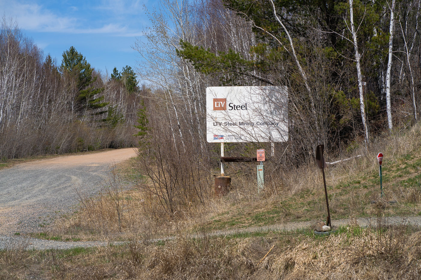
LTV Steel Mining Company sign beside a gravel road in Babbitt, Minnesota.
The LTV Steel Mining Company sign stands along a gravel road in Babbitt, Minnesota. The sign marks the entrance to the former mining complex on the Iron Range.
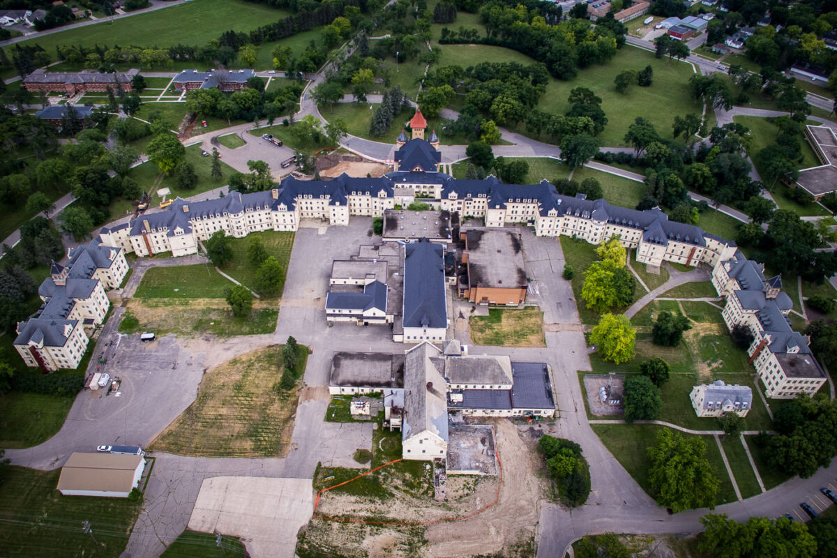
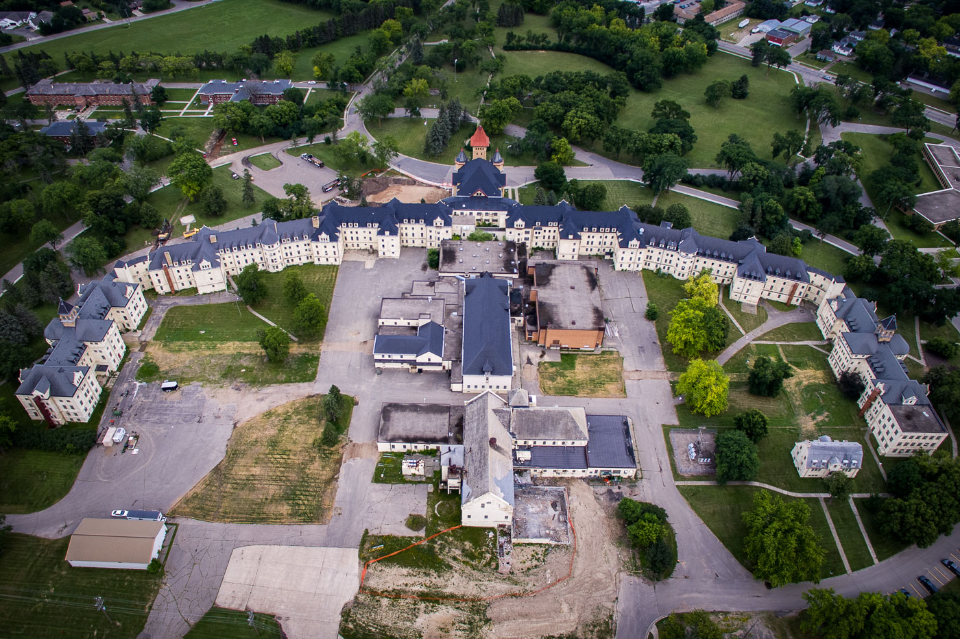
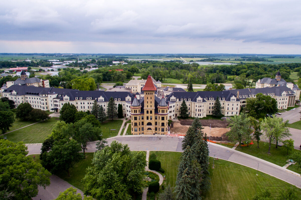
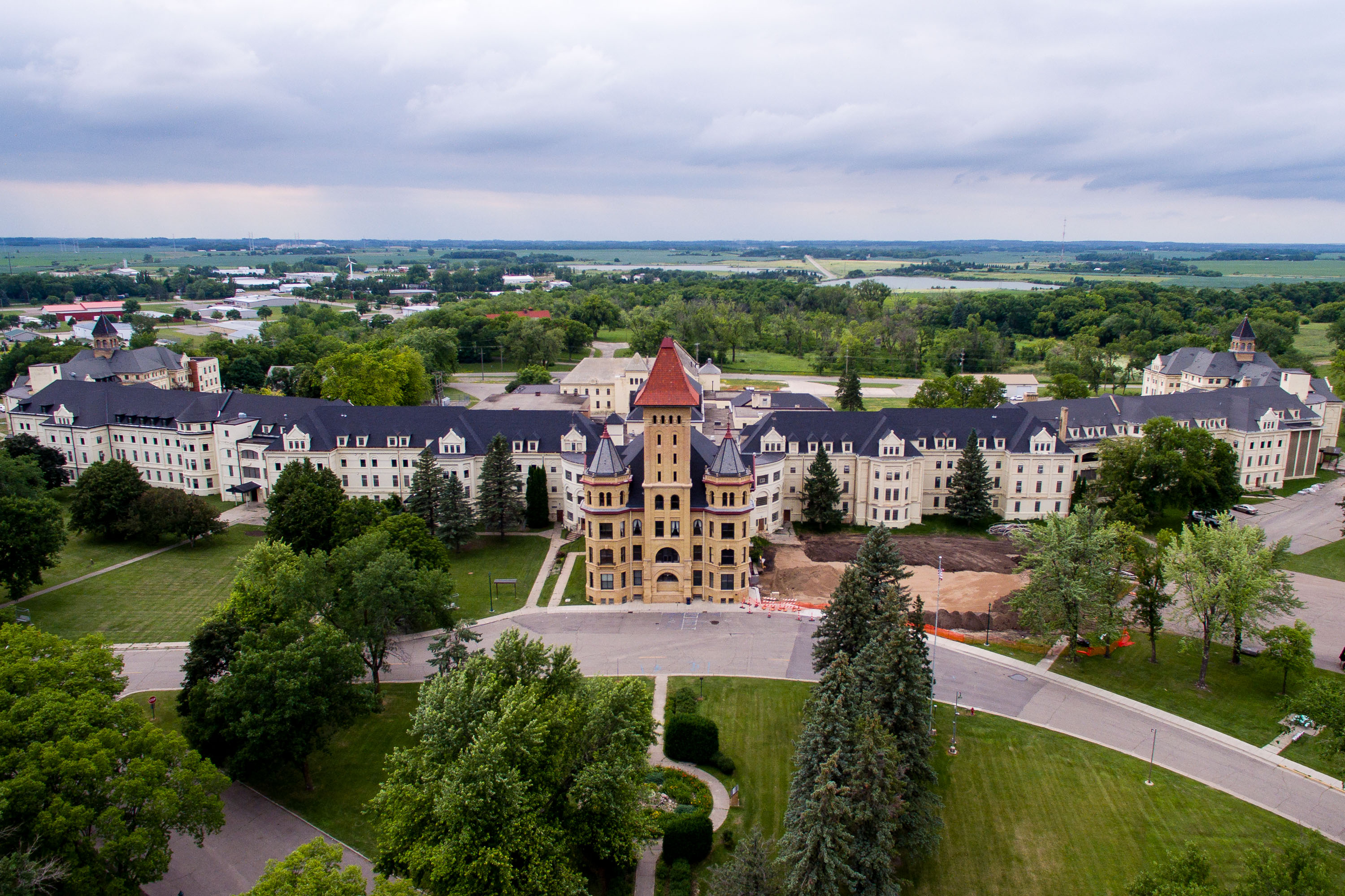
Aerial view of Fergus Falls Regional Treatment Center, a Kirkbride-style psychiatric hospital building with mansard roofs and
The Kirkbride Building anchors the former Fergus Falls Regional Treatment Center, a state hospital campus that opened in 1890 on Minnesota's western prairie. Architect Warren H. Hayes designed the structure following the Kirkbride Plan, a 19th-century model for psychiatric care that arranged patient wards in stepped wings radiating from a central administrative core. Builders used granite quarried near Fergus Falls, trimmed with sandstone, to raise the sprawling complex, which stretches several hundred feet across the campus grounds. The hospital treated Minnesota's mentally ill population for more than a century before the state closed the facility in 2005. The building is listed on the National Register of Historic Places and ranks among the largest Kirkbride-style structures ever built in the United States.
Kirkbride Building at Fergus Falls Regional Treatment Center in Minnesota with yellow brick tower and mansard roofs.
The Kirkbride Building at the former Fergus Falls State Hospital opened in 1890, designed by architect Warren B. Dunnell following the Kirkbride Plan championed by psychiatrist Thomas Story Kirkbride. That model called for a central administration building flanked by stepped-back wings, a layout meant to give patients access to light and air while separating wards by sex and severity of illness. The complex operated as a state psychiatric hospital into the 20th century before continuing as the Fergus Falls Regional Treatment Center, serving the region's mental health needs until state operations wound down in the early 2000s. Built largely of local granite and brick, the building stretches roughly a third of a mile end to end, making it one of the longest Kirkbride structures ever constructed. It's listed on the National Register of Historic Places.
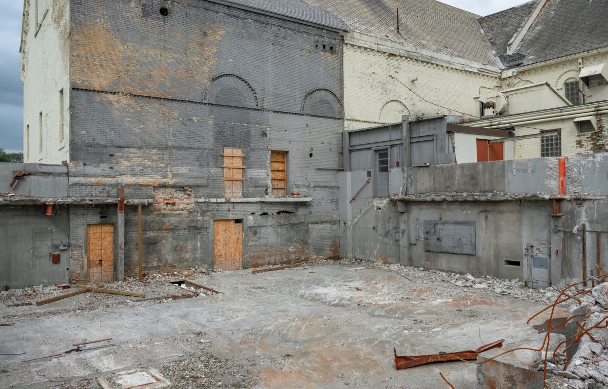
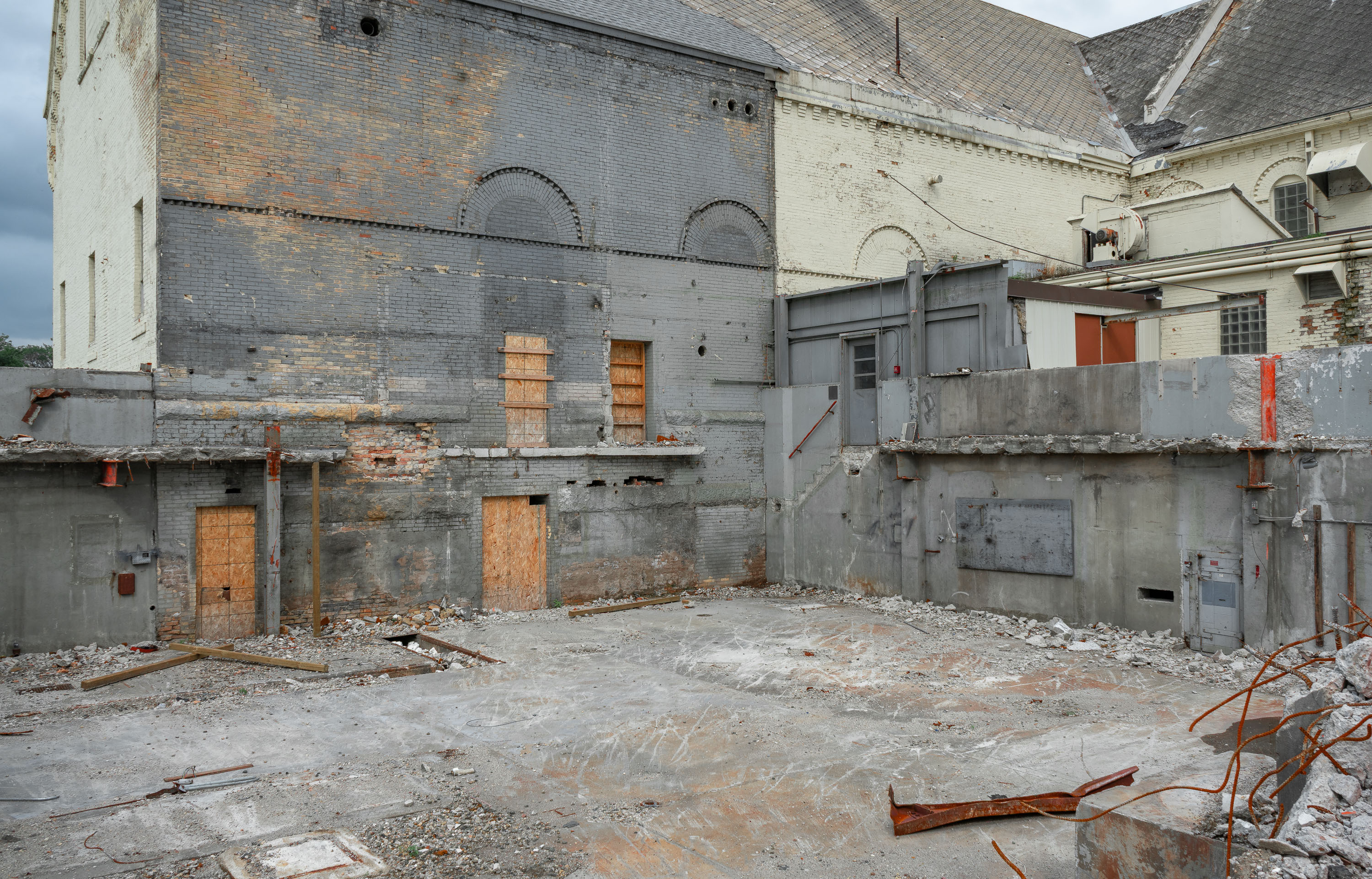
Abandoned institutional courtyard with boarded windows, concrete structures, and rusted metal at Eagle Island.
The Fergus Falls Kirkbride Building, part of the former Fergus Falls State Hospital, was designed by architect Warren B. Dunnell and completed in 1890 using the Kirkbride Plan, a 19th-century model for asylum design that emphasized light, ventilation, and separation of patient wards. The hospital operated under state control for over a century before closing in the early 2000s, after which sections of the sprawling brick complex fell into disrepair. Partial demolition efforts in later years removed portions of the rear service wings, exposing interior brick walls, arched window openings, and structural framing once concealed by adjoining sections. The building remains listed on the National Register of Historic Places, and preservation groups have continued to advocate for adaptive reuse of the surviving structure.
Allianz Field stadium construction site in St. Paul at night with excavated ground and steel framework.
Allianz Field opened in 2019 as the home stadium of Minnesota United FC, the city's Major League Soccer franchise. Built in St. Paul's Midway neighborhood on the former Metro Transit bus barn site, the stadium was designed by the architecture firm Populous and cost roughly $150 million to complete. It holds about 19,400 seats and includes a translucent canopy roof engineered to shield fans from wind while keeping the natural grass field exposed to sunlight. The project broke ground in 2017, and construction proceeded through Minnesota's winter months to meet the club's 2019 season opener.
Allianz Field stadium under construction at night in St. Paul with excavated ground and illuminated steel framework.
Allianz Field is the home of Minnesota United FC, a Major League Soccer franchise that began play at this Snelling Avenue site in April 2019. Populous designed the 19,400-seat stadium, and its steel canopy roof — the structure taking shape here — was engineered to wrap the seating bowl and support a perforated tension-fabric skin unique among MLS venues. The project broke ground in 2016 on the former Metro Transit bus barn site along Snelling Avenue, part of the Midway neighborhood between downtown St. Paul and Minneapolis. Construction costs for the stadium totaled roughly $250 million, funded privately by the team's ownership group. The surrounding Snelling Avenue commercial strip, including longtime retailers like the liquor store seen beyond the site, predates the stadium by decades and has remained active throughout the build.

Yellow mobile crane operates inside Allianz Field stadium under construction at night in St. Paul.
Allianz Field opened in April 2019 as the home of Minnesota United FC, the city's Major League Soccer club. The stadium seats about 19,400 and was designed by Populous, the firm behind numerous professional sports venues across the country. Its seating bowl and roof canopy were built with steel trusswork erected before the concourses and suites were enclosed. Boom lifts and mobile cranes were used throughout construction to position steel and finish overhead work at height. The stadium sits on a site near the intersection of Snelling and University Avenues, previously home to a bus barn.

Built in Minneapolis

Minneapolis Photographer

Browse by location, move through long-running series, or start with recent work.