Place Archive

Boston

Boston is a seaport city and the capital of Massachusetts, with a working harbor that has anchored its economy since the colonial period. The South End developed as a dense residential district in the late nineteenth century, its long blocks of attached masonry rowhouses built to house a growing population as the city expanded beyond its original peninsula. The Boston Marathon, organized by the Boston Athletic Association and sponsored by Bank of America as part of the Abbott World Marathon Majors series, draws runners from around the world and integrates itself into the city’s transit system and public spaces in the weeks surrounding race day. U.S. Coast Guard vessels continue to operate out of Boston Harbor, maintaining maritime security across one of the Northeast’s major commercial ports.

2 photo sets 53 photos

Photo Sets

Map

Photo Map

Markers

Boston Photo Locations

46 geotagged photos

Photos
LUCE Massachusetts ICE Watch sticker on a pole at Harvard with hotline number 617-370-5023.
LUCE Massachusetts ICE Watch sticker on a utility pole at Harvard. The sticker directs people to call the LUCE hotline at 617-370-5023 to report and verify ICE sightings.
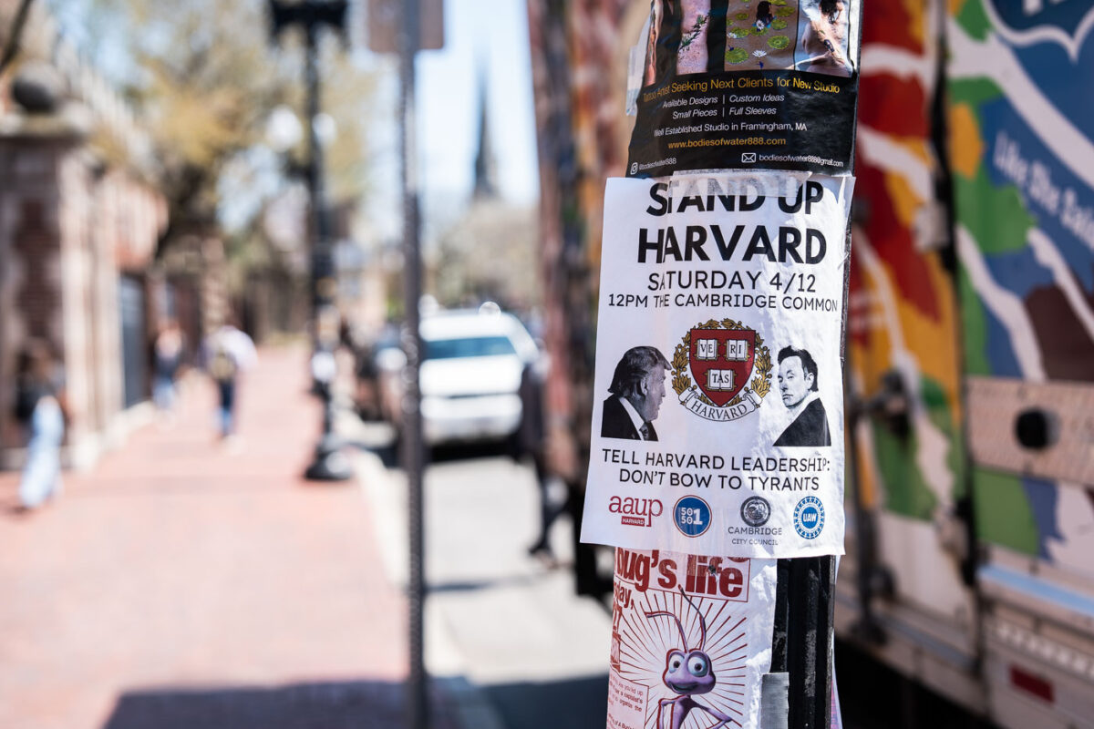
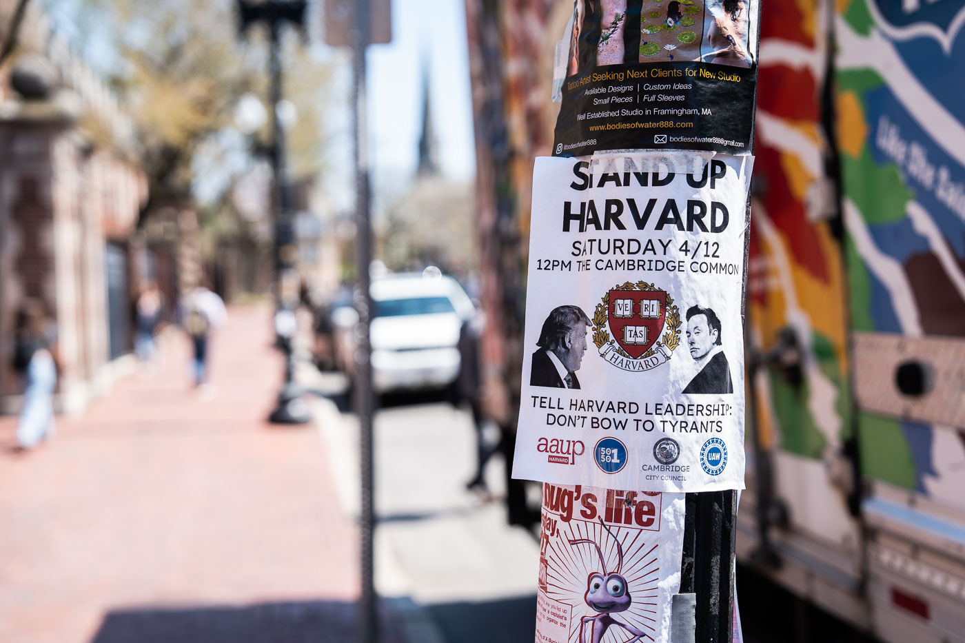
Stand Up Harvard flyer on a pole along Massachusetts Avenue in Cambridge.
A flyer on Massachusetts Avenue near Harvard Square calls for a rally at the Cambridge Common and urges Harvard University leaders to “Don’t bow to tyrants.” The notice includes the Harvard crest, references a Saturday April 12 event, and names local groups including the Cambridge City Council and the AAUP.
Harvard Square protest flyers on a street pole in Cambridge, Massachusetts.
Harvard Square, Cambridge, Massachusetts. Flyers on a street pole advertise a “Global Day of Action” related to Gaza and include a pasted response sheet. The layered notices address the Israel-Hamas war and the conflict’s visibility around Harvard University.
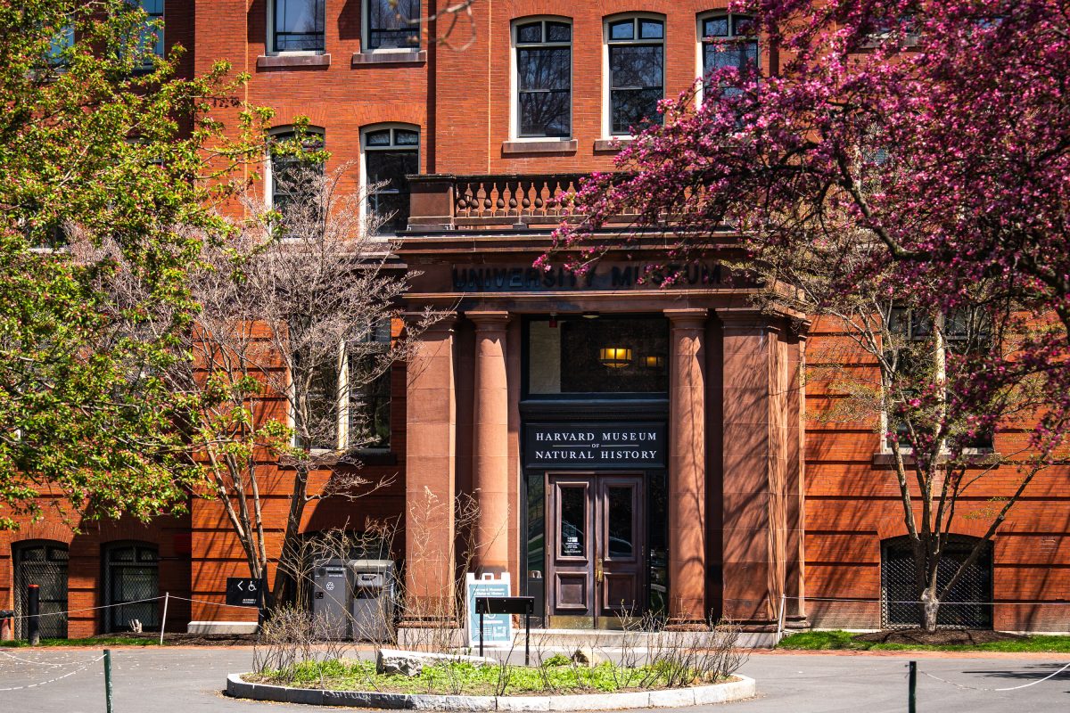
Harvard Museum of Natural History entrance with red brick facade and blooming spring trees.
The Harvard Museum of Natural History occupies the north wing of a brick building erected in 1859 as part of Harvard University's Museum of Comparative Zoology complex on Oxford Street in Cambridge, Massachusetts. It opened to the public in 1998, consolidating collections from the university's zoology, botany, and mineralogy museums under one roof. The museum is best known for the Blaschka Glass Flowers, a collection of more than 4,000 glass models of plants created between 1887 and 1936 by German father-and-son artisans Leopold and Rudolf Blaschka.
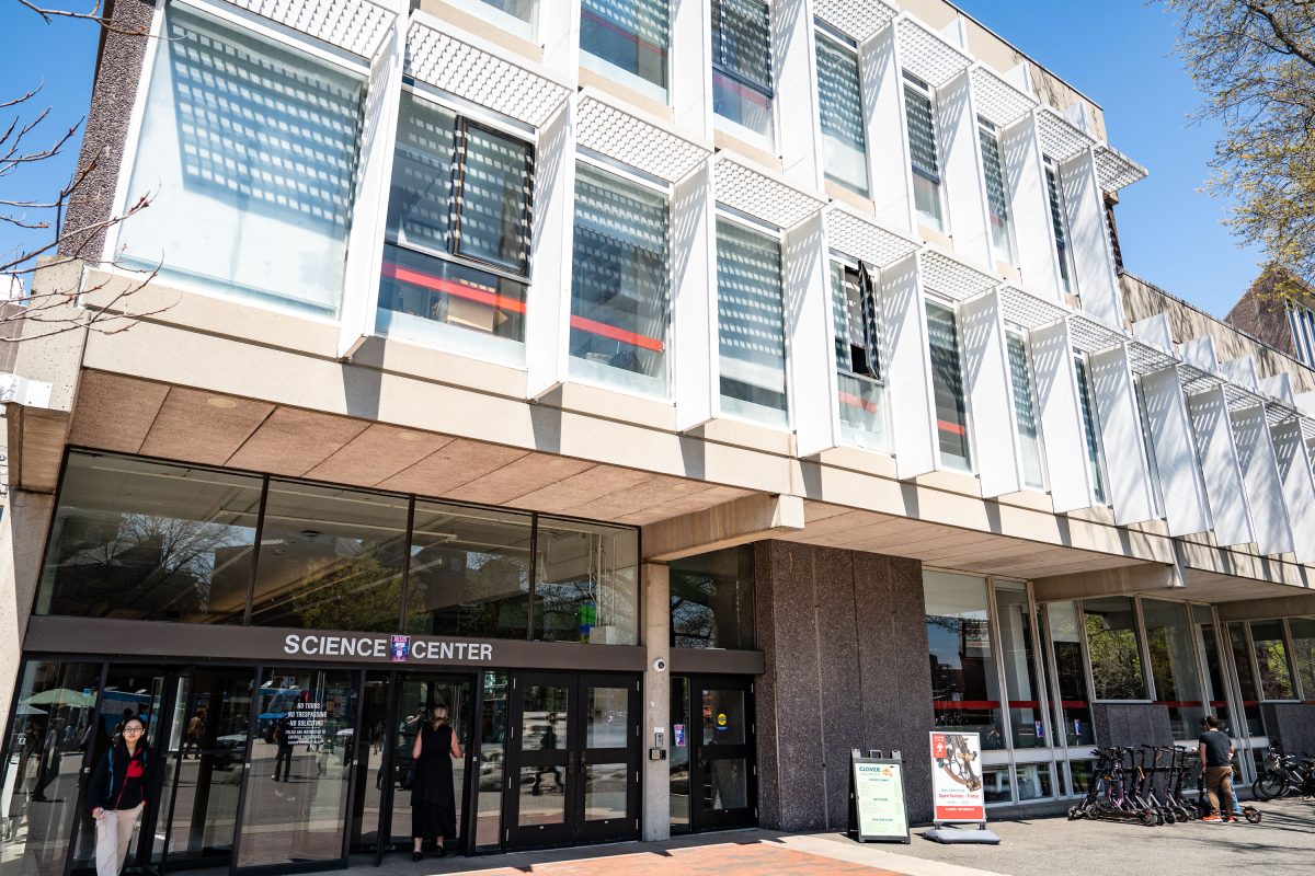
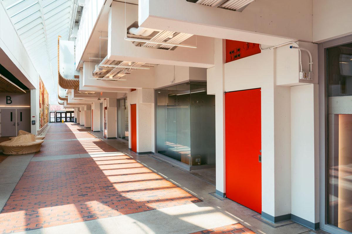
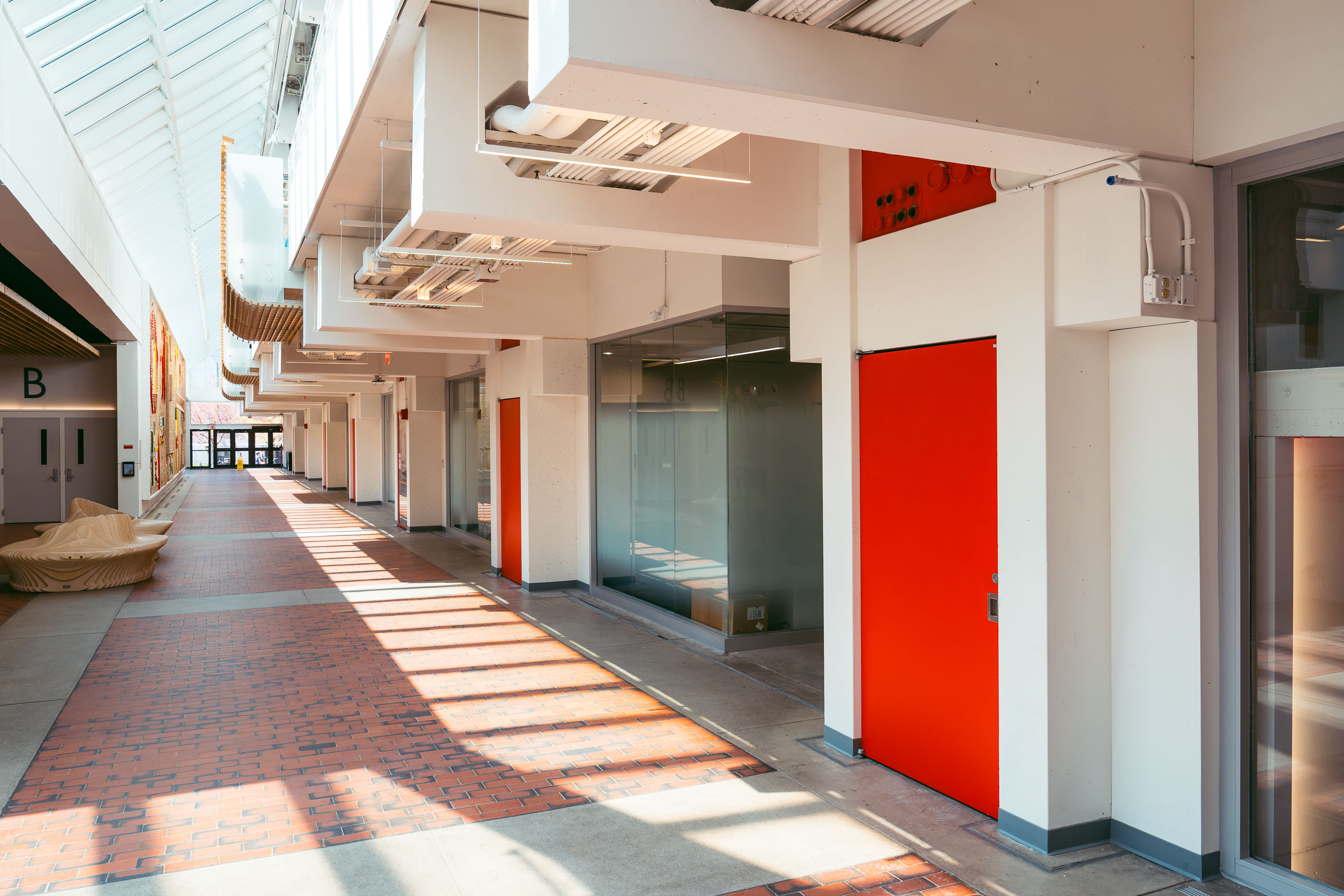
Harvard Science Center building entrance with modernist white facade and ground-level storefront.
The Harvard Science Center opened in 1973 at 1 Oxford Street in Cambridge, Massachusetts, designed by architect Josep Lluís Sert, former dean of the Harvard Graduate School of Design. Funding came partly from a gift by Edwin Land, founder of Polaroid, whose company's technology influenced the building's distinctive stepped, camera-like massing. The center houses the Cabot Science Library, lecture halls, and departments including mathematics and history of science, along with the Collection of Historical Scientific Instruments. It remains one of the largest buildings on Harvard's campus, serving as a hub for undergraduate science education.
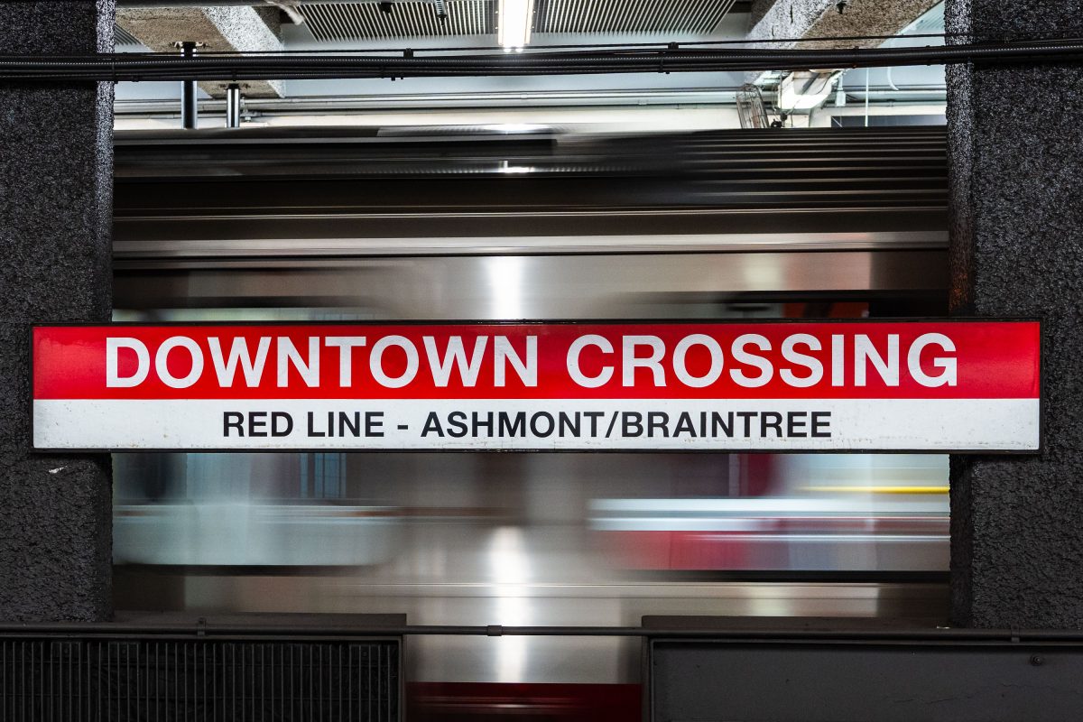
Sign for Downtown Crossing station on the Red Line at Ashmont/Braintree in Minneapolis.
Downtown Crossing serves as a key transfer point on the MBTA's Red Line, connecting Ashmont and Braintree branch trains to points south of Boston. The station opened in 1908 as Winter Street on the Tremont Street subway before being renamed in 1975 to reflect the retail district above, once anchored by Filene's and Jordan Marsh. It also links to the Orange Line, making it one of the system's busiest interchange stations. The MBTA operates the fourth-oldest subway system in the United States, with the Red Line extending roughly 22 miles from Alewife in Cambridge to its Ashmont and Braintree terminals.
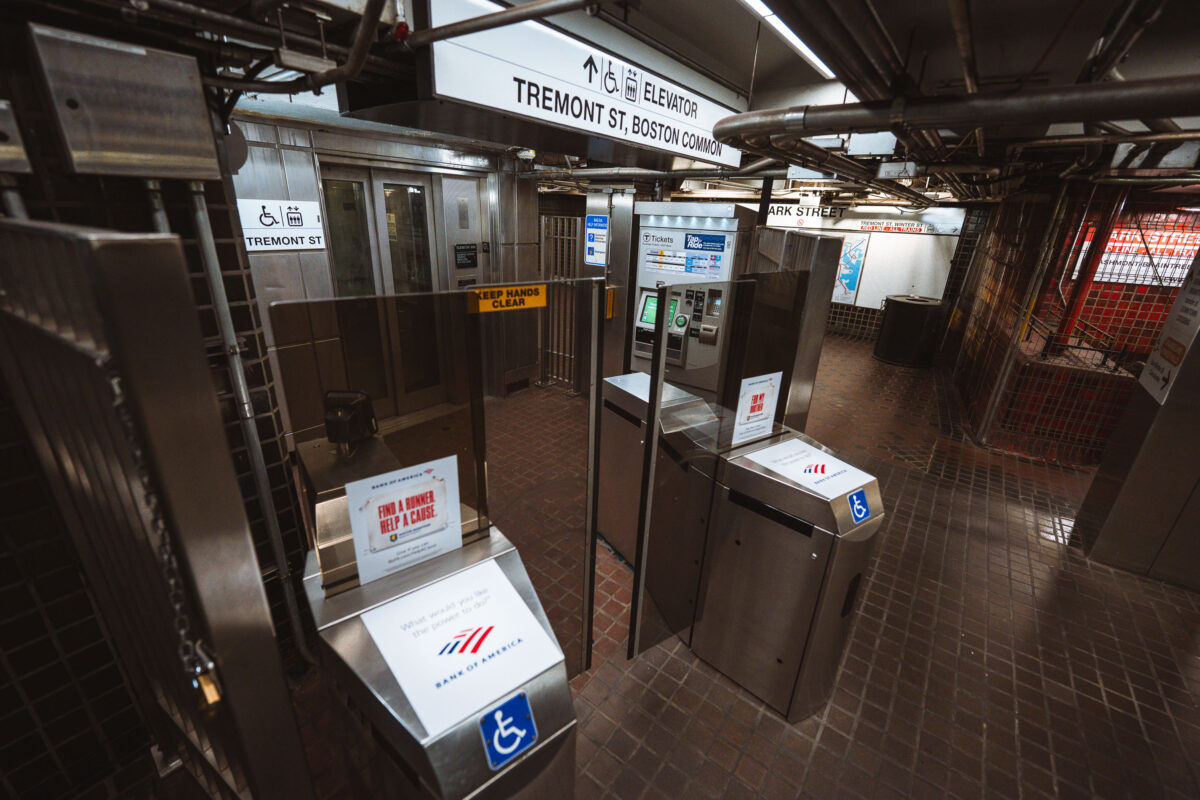
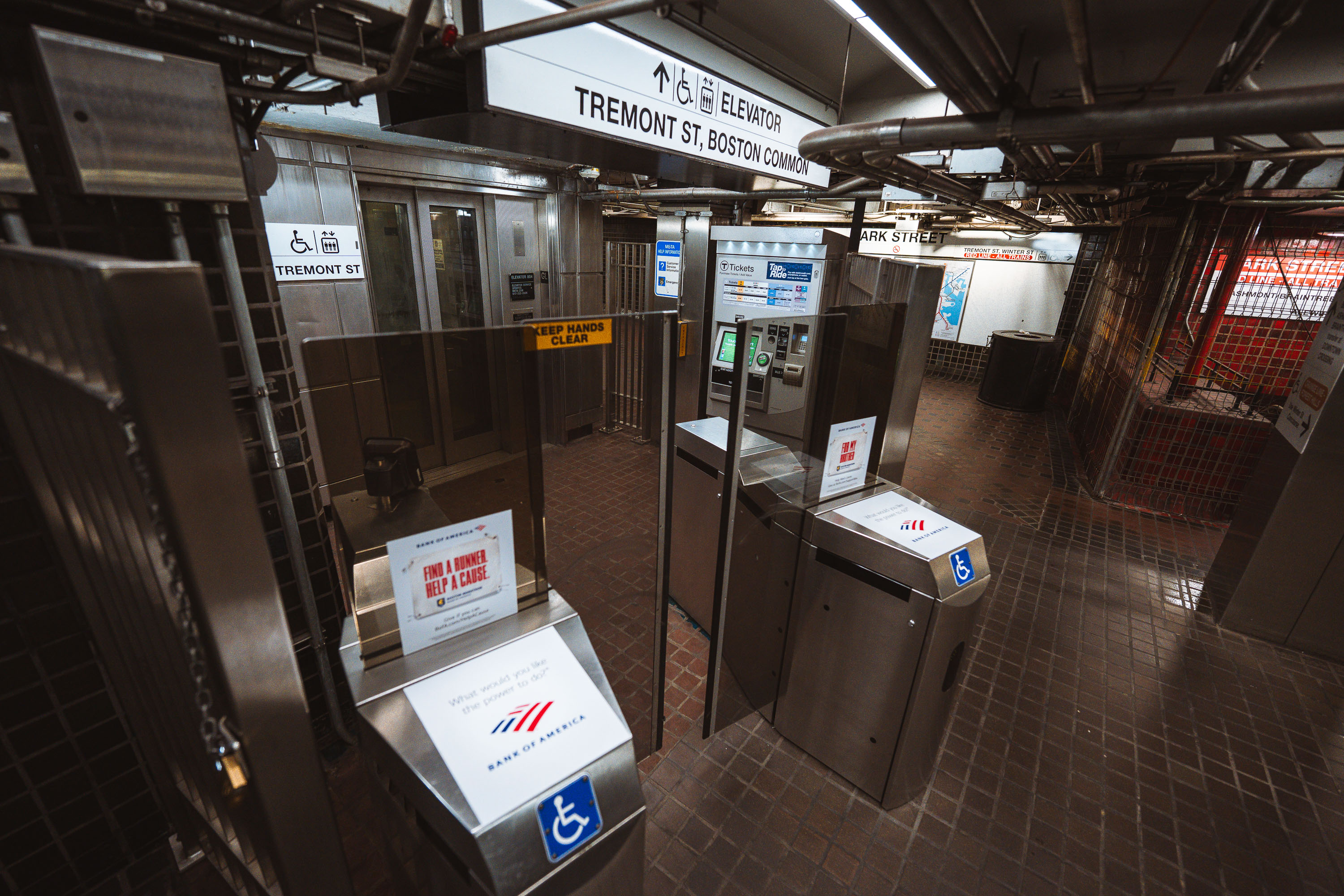
Park Street station fare gates and ticket machines at Tremont Street in Boston.
Park Street station in Boston is an MBTA rapid transit station beneath Boston Common near Tremont Street. The station connects the Green Line and Red Line and includes fare gates, ticket vending machines, and accessible elevator access. Park Street is part of the Tremont Street subway, which opened in 1897 as the first subway tunnel in the United States.
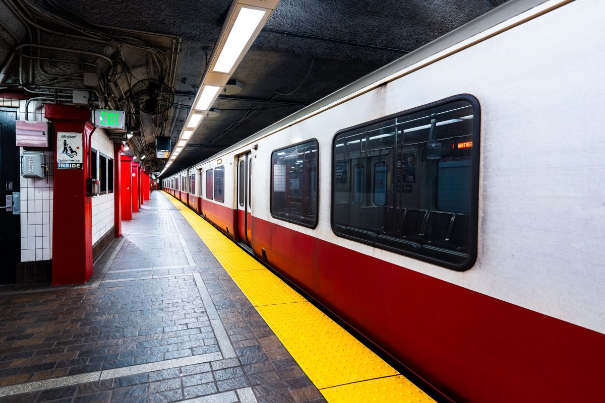
Red and white MBTA train stopped at Park Street station platform with yellow safety line.
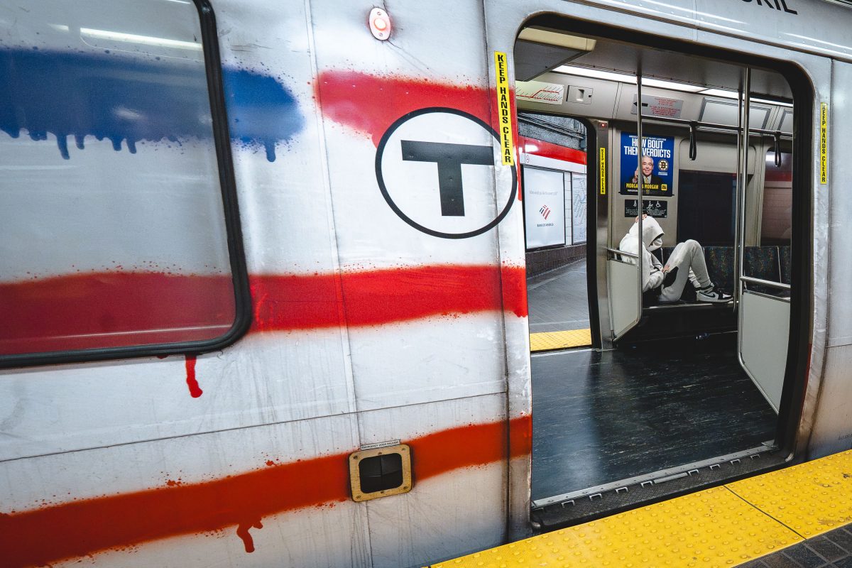
Park Street Station opened in 1897 as part of the Tremont Street Subway, the first subway system built in the United States. It sits beneath Boston Common and serves as the transfer point between the MBTA's Red and Green Lines. The station's twin platforms handle tens of thousands of riders daily, connecting downtown Boston to Cambridge, Dorchester, and points south. Park Street is listed on the National Register of Historic Places as part of the Tremont Street Subway's designation as a National Historic Civil .
Man on a Red Line train at Park Street.
The MBTA's Red Line runs roughly 22.5 miles between Alewife in Cambridge and the twin terminals of Ashmont and Braintree, making it the longest line in Boston's subway system. Park Street Station, opened in 1897, was one of the original four stops on the country's first subway tunnel and today serves as a transfer point between the Red and Green Lines. The Red Line's cars, built by Bombardier and later CRRC, carry roughly 240,000 daily riders in normal years, making it the busiest line in the MBTA network.
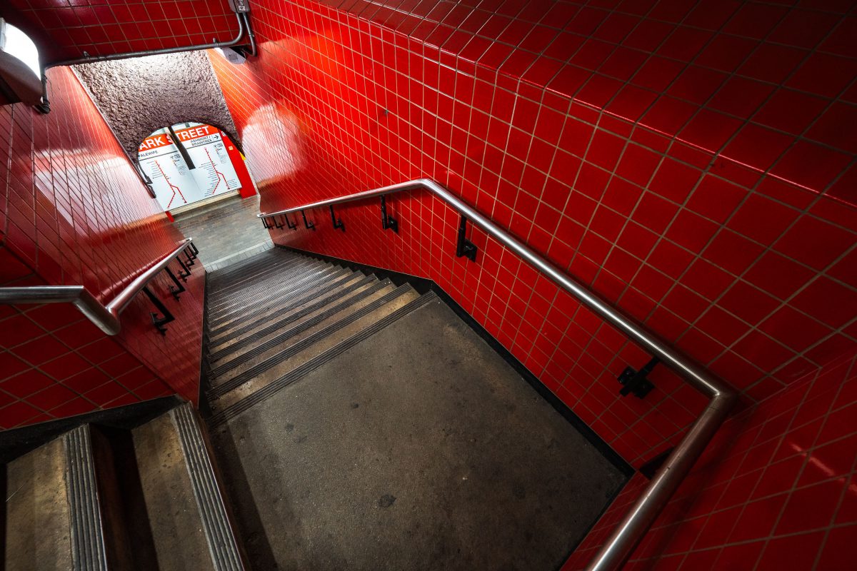
Red-tiled subway stairwell with metal handrails and a fire reel safety sign.
Park Street Station opened on September 1, 1897, as part of the Tremont Street Subway, making it the oldest operating subway station in the United States. Built beneath Boston Common, it now serves as a transfer point between the MBTA's Red and Green Lines. The station's red tile work dates to a 1970s renovation, replacing the original cream-colored finishes installed by the Boston Transit Commission. It remains one of the busiest stops in the MBTA system, handling tens of thousands of riders daily.
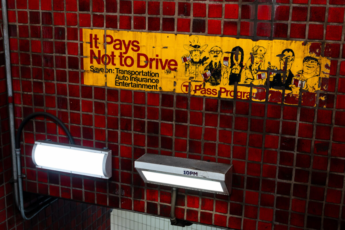
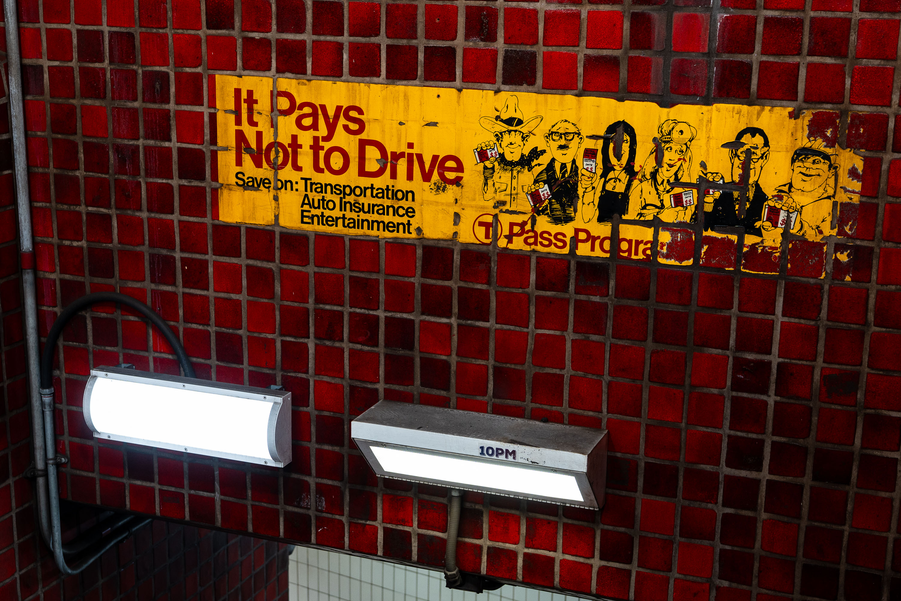
T Pass Program advertisement in an MBTA station promotes savings for not driving.
The T Pass Program advertisement is mounted inside an MBTA rapid transit station. The campaign promoted transit pass use by emphasizing savings on transportation, auto insurance, and entertainment. Its “It Pays Not to Drive” message links the MBTA pass program with incentives for riders to use public transportation instead of driving.
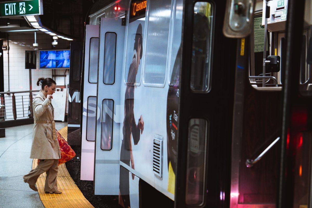
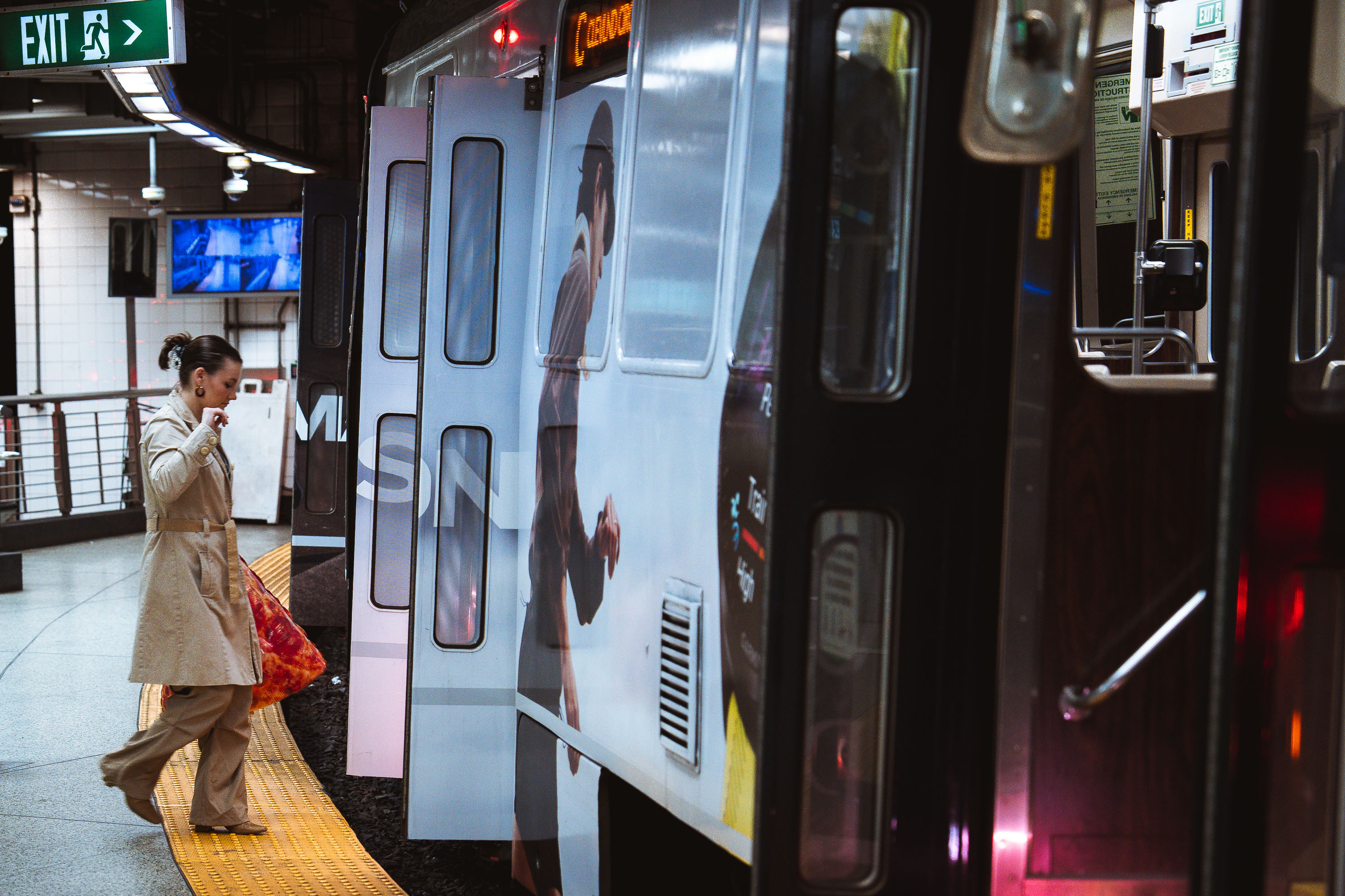
Pizza boarding MBTA Train
A passenger steps onto an MBTA subway train at an underground station in Boston. The Massachusetts Bay Transportation Authority, formed in 1964, operates one of the oldest rapid transit systems in the United States, with roots tracing back to the Boston Elevated Railway and the opening of the Tremont Street Subway in 1897. The high-platform station design, yellow tactile warning strip, and sliding train doors reflect standards adopted to improve accessibility and passenger safety across the system as it expanded and modernized through the late 20th century.
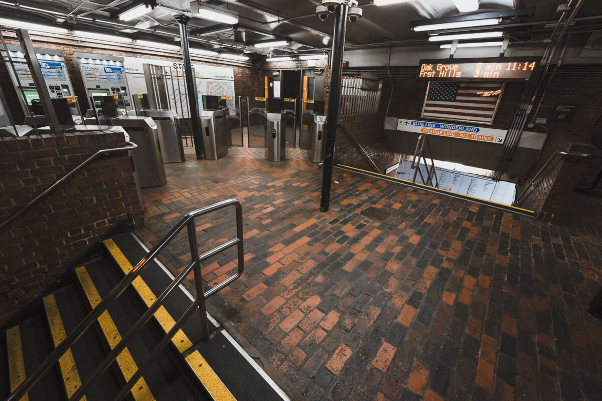
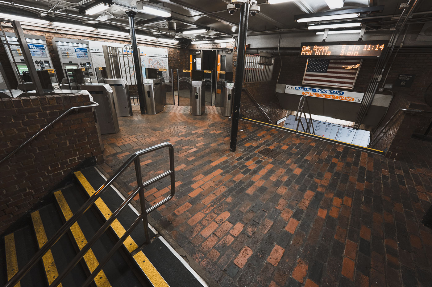
State Street Station fare gates in downtown Boston with MBTA route signs.
State Street Station in downtown Boston is an MBTA transfer station serving the Orange Line and Blue Line. The fare control area connects street-level entrances to the station’s underground platforms.
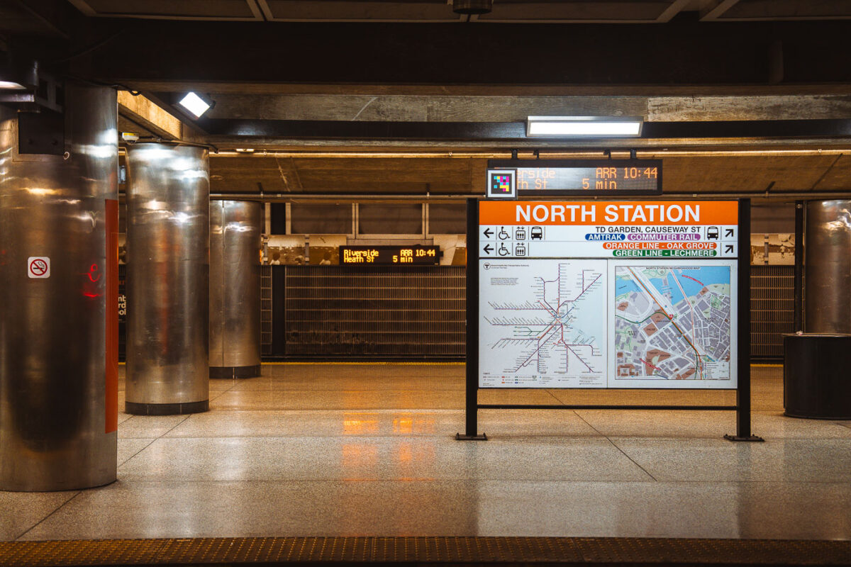
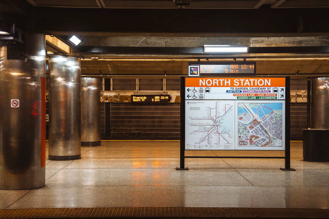
North Station in Boston with MBTA route maps and service signs.
North Station in Boston is a major MBTA transit hub beneath TD Garden. It connects the Orange Line with Amtrak, MBTA Commuter Rail, and Green Line service to the north.
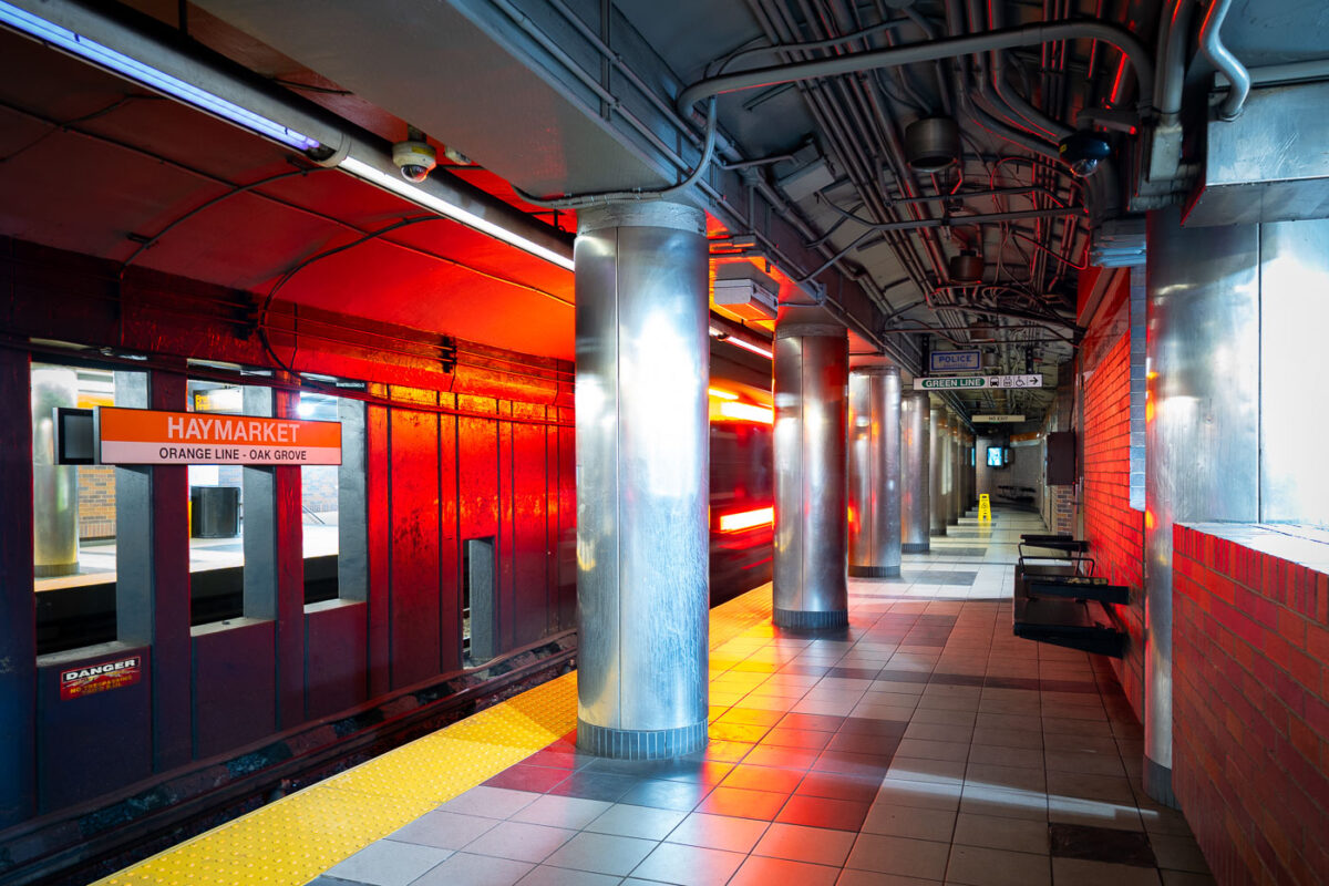
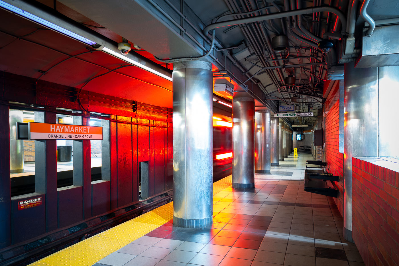
Haymarket Station Orange Line platform in Boston with overhead transit signage.
Haymarket Station on the MBTA Orange Line in downtown Boston. The underground station serves the Haymarket district and provides connections to the Green Line and nearby North End and Government Center transit access. Opened in 1971, it replaced earlier elevated Orange Line service through the area.
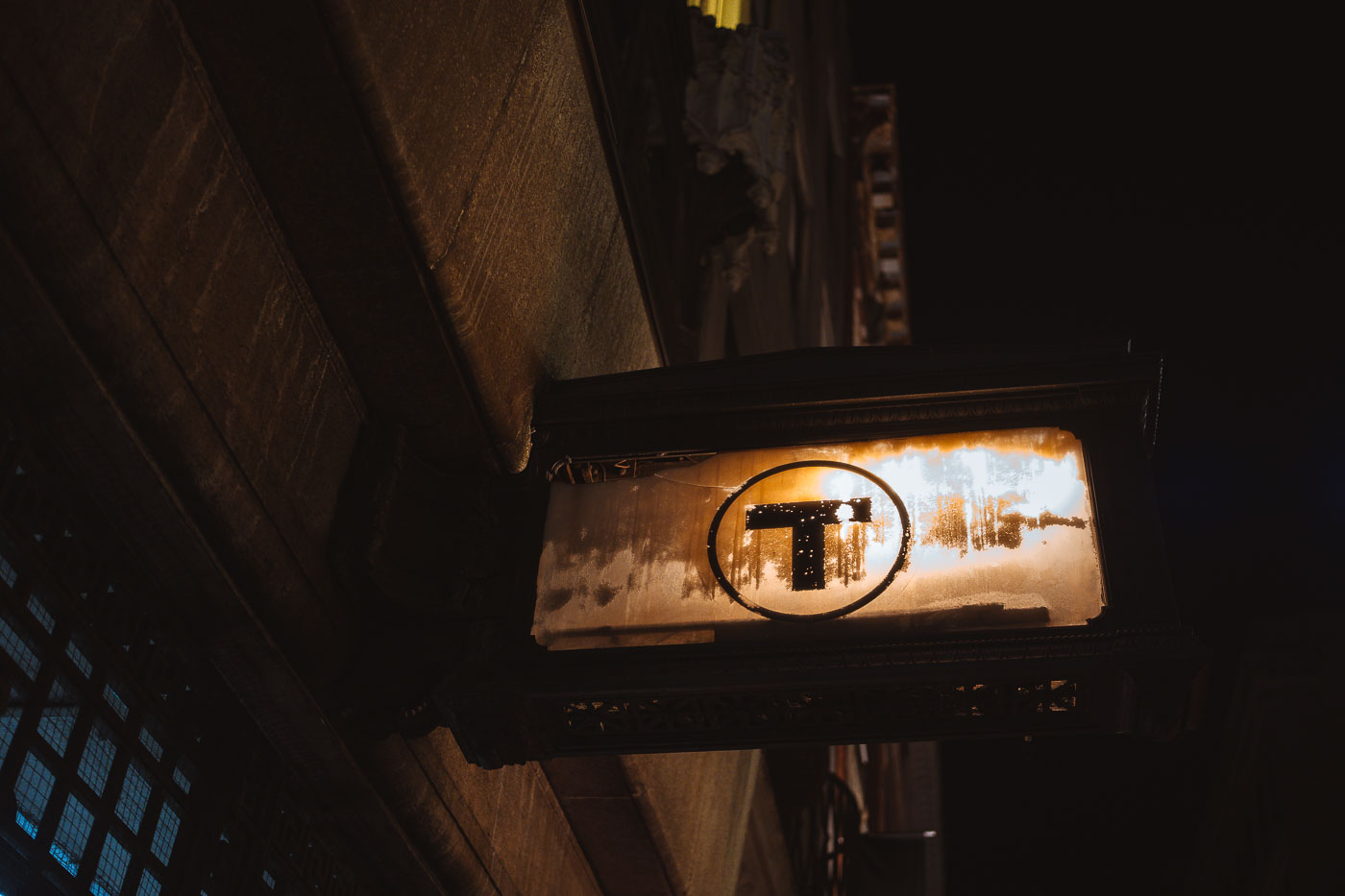
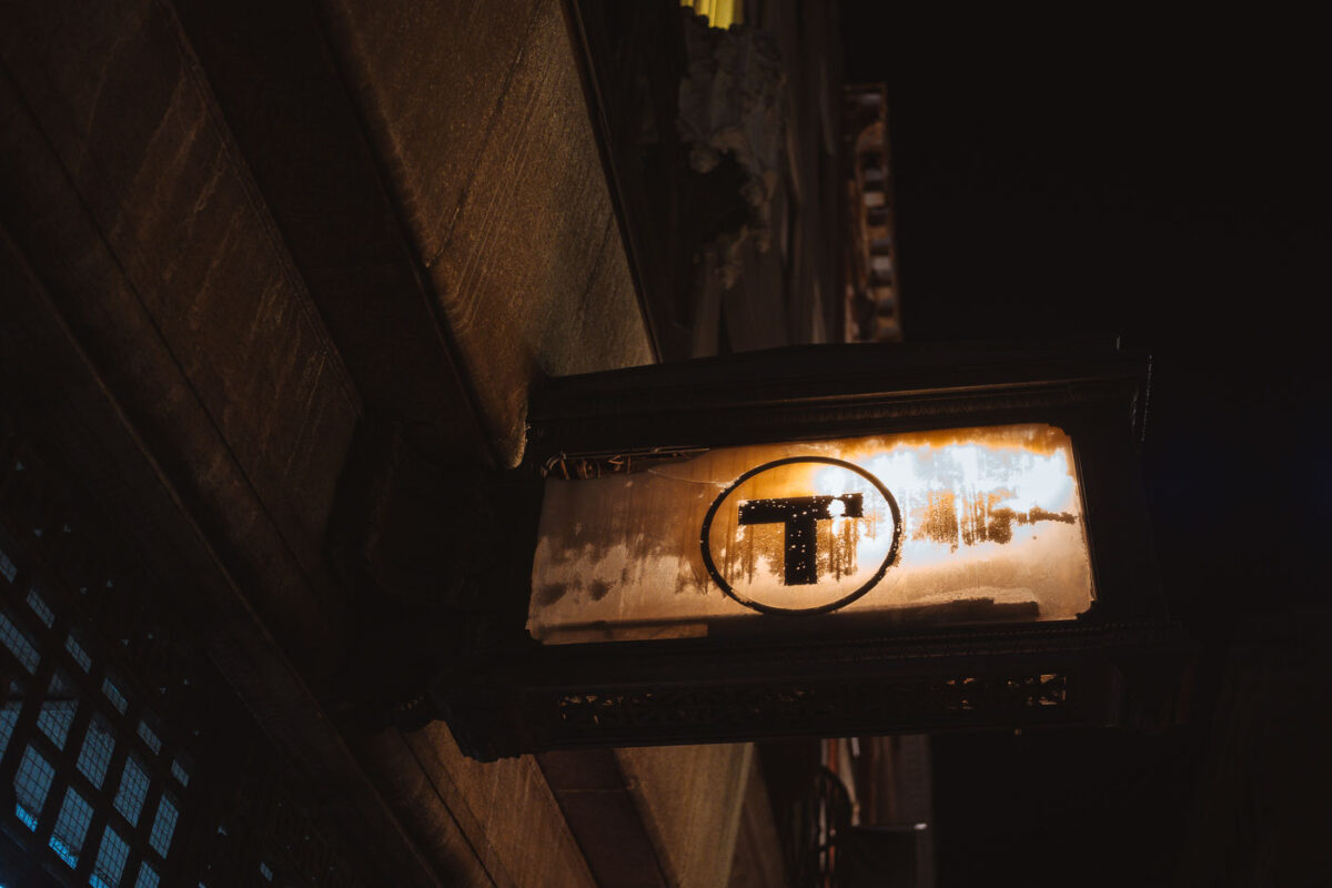
Illuminated MBTA T sign beneath a Boston streetscape marking subway access.
An illuminated MBTA roundel hangs beneath a streetscape in Boston, marking access to the city’s subway system. The black “T” in a white circle is the MBTA’s standard transit symbol.
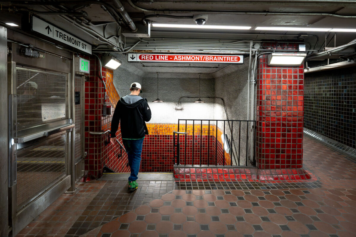
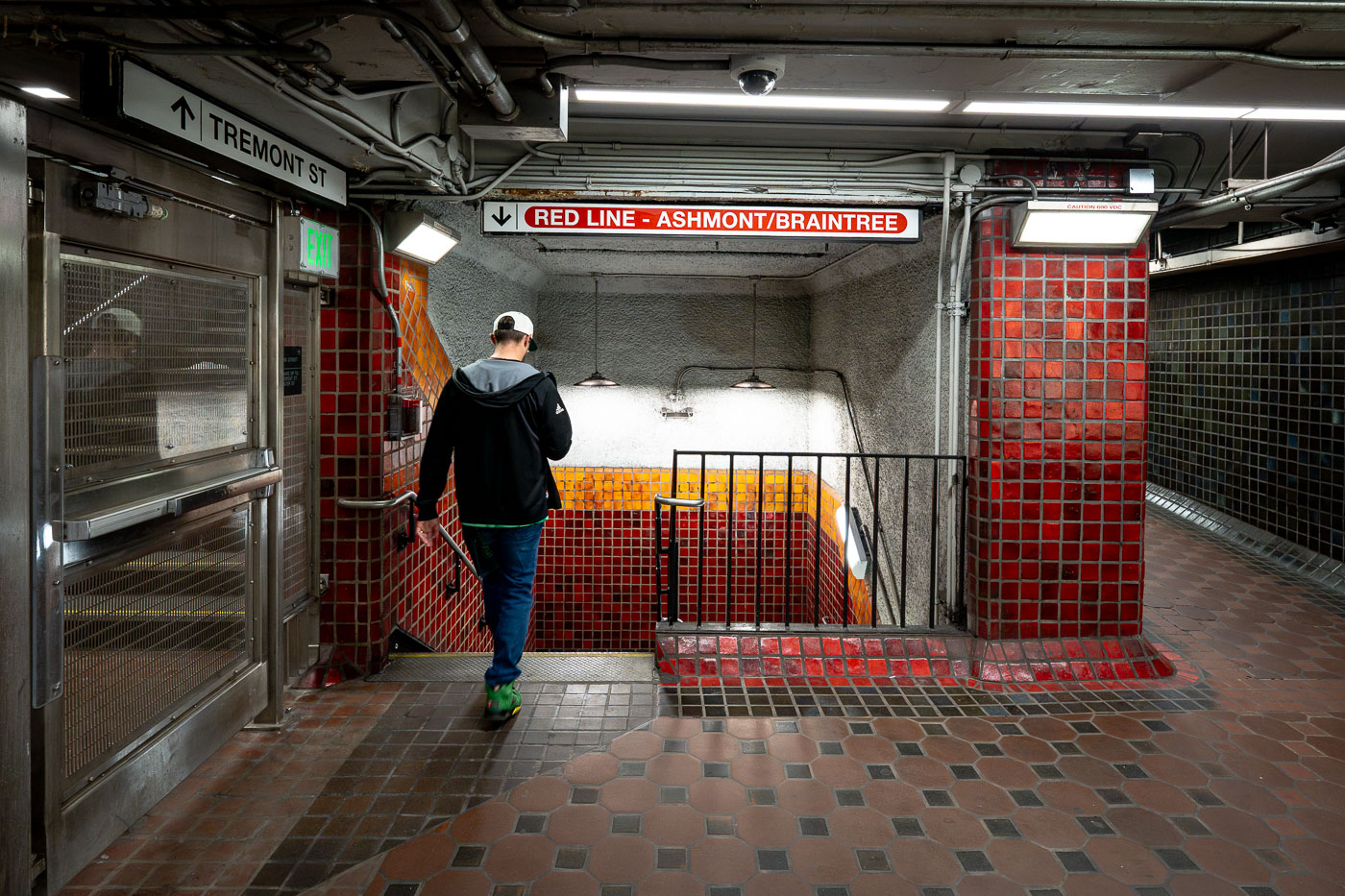
Park Street Station in Boston with a Red Line passage and Tremont Street sign.
Park Street Station in Boston contains a Red Line passage connecting the Tremont Street entrance area to the platforms below Boston Common. Opened in 1897 as part of the Tremont Street Subway, it is one of the oldest active subway stations in the United States.
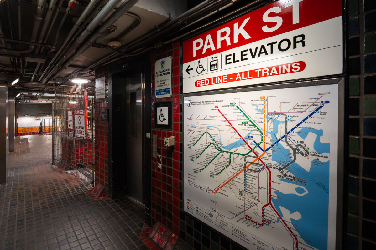
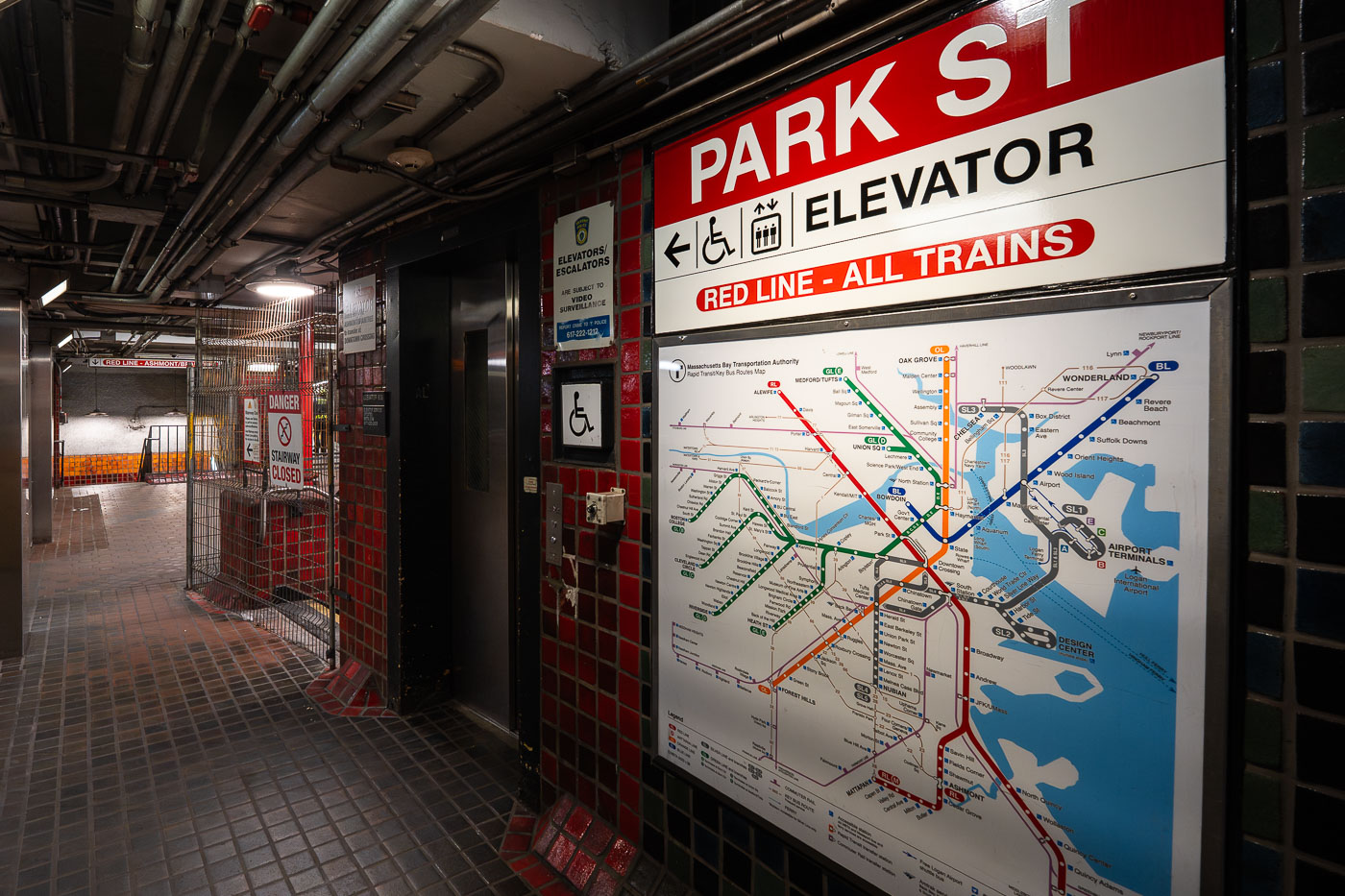
Park Street Station in Boston with Red Line elevator signage and a transit map.
Park Street Station in Boston is a major transfer point on the MBTA subway system. The station provides access to the Red, Green, and Orange Lines and includes an elevator serving the Red Line area.
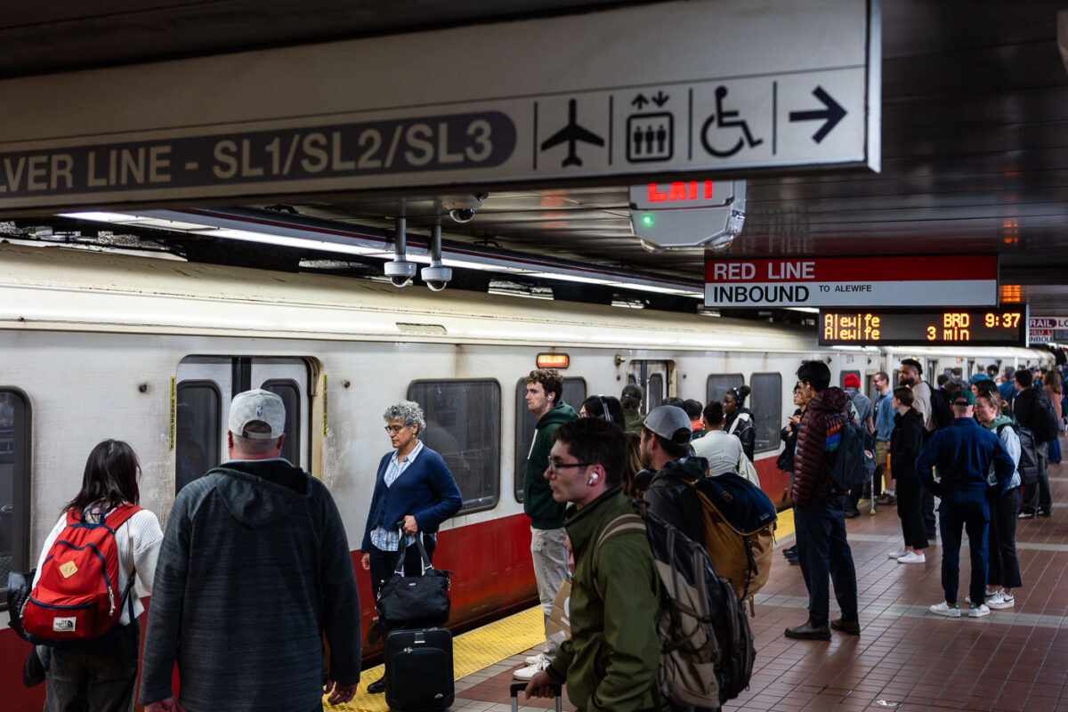
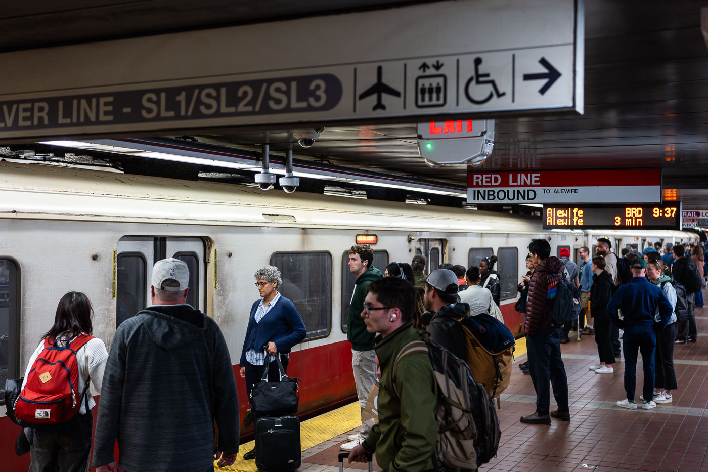
MBTA Red Line inbound platform at South Station in Boston with passengers waiting for an Alewife train.
MBTA Red Line inbound platform at South Station in Boston. The line connects downtown Boston with Cambridge, Somerville, Quincy, and Braintree, and serves Alewife and Ashmont branches.
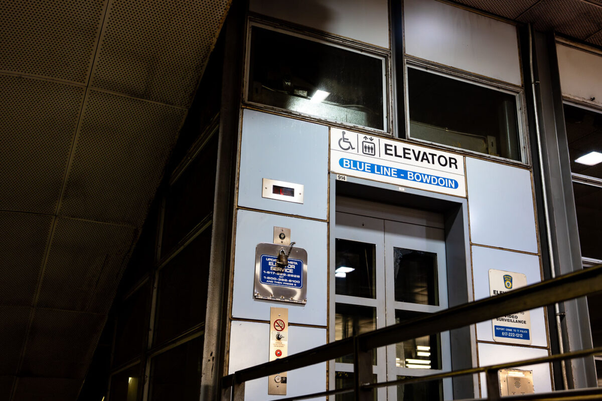
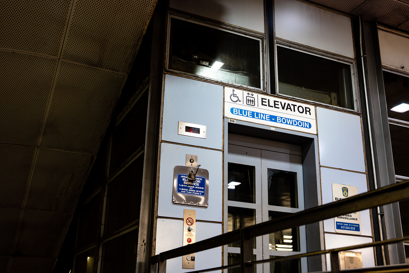
Bowdoin Station elevator entrance on Boston’s MBTA Blue Line.
Bowdoin Station in Boston is the downtown terminal of the MBTA Blue Line. The station opened in 1916 as part of the East Boston Tunnel and remains one of the line’s most compact stations.
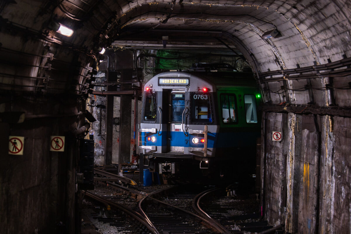
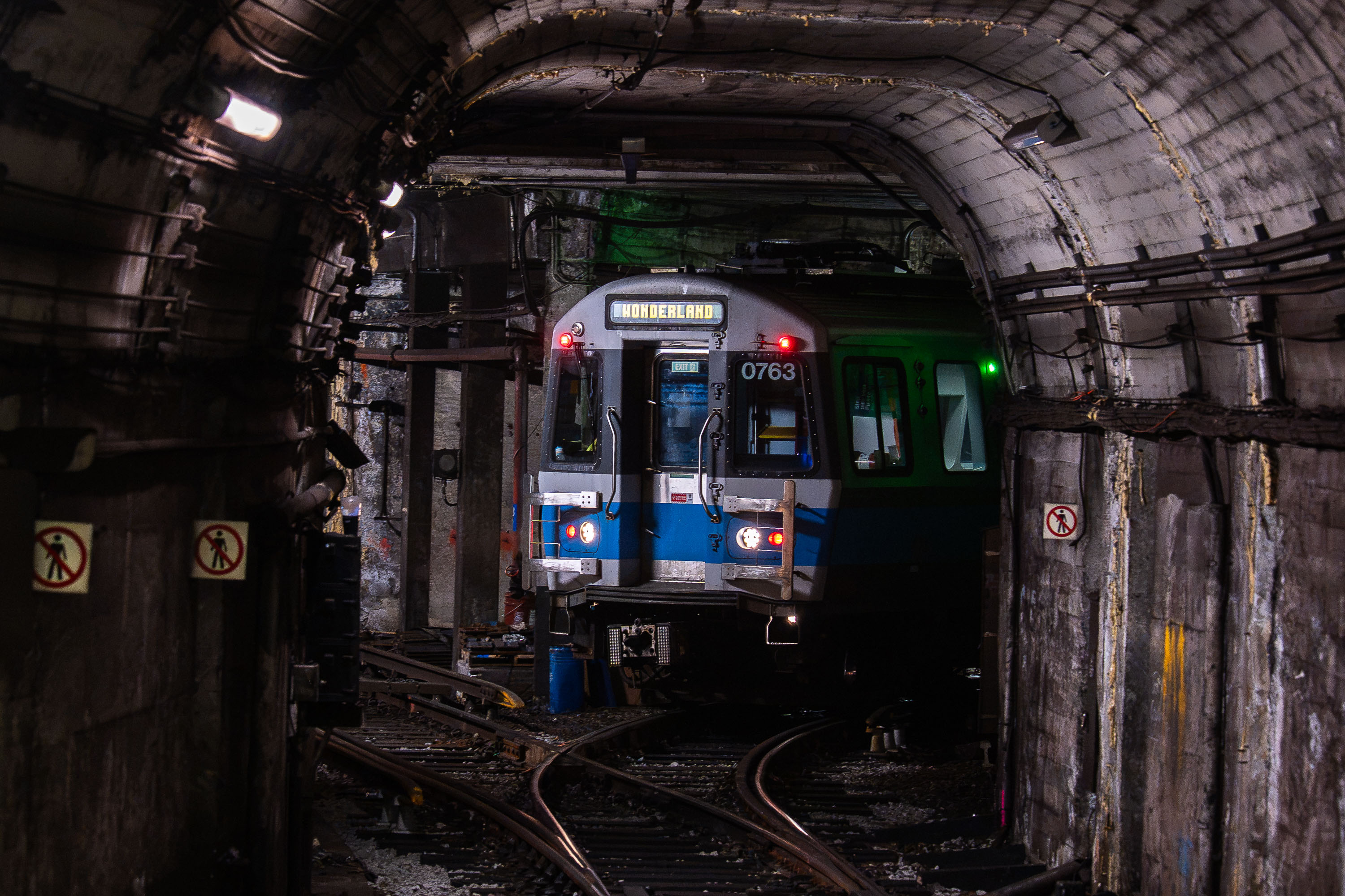
Wonderland light rail train 0763 inside a subway tunnel.
Wonderland train in a subway tunnel. The light rail car is identified by route signage reading Wonderland and car number 0763.
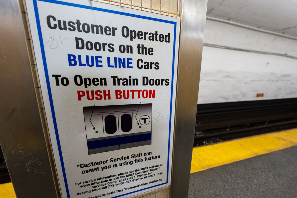
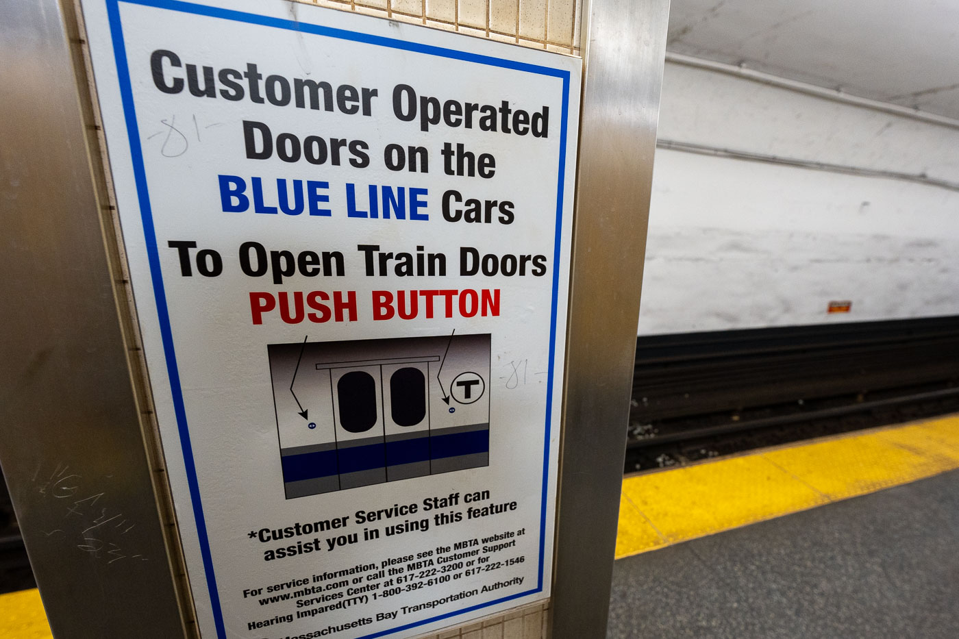
MBTA Blue Line platform sign in Boston instructing riders to push a button to open train doors.
An MBTA Blue Line platform sign in Boston explains how passengers open doors on customer-operated Blue Line cars. The notice is posted on a subway platform for riders using older Blue Line train sets.
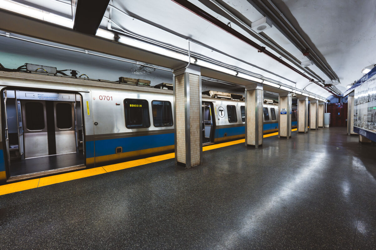
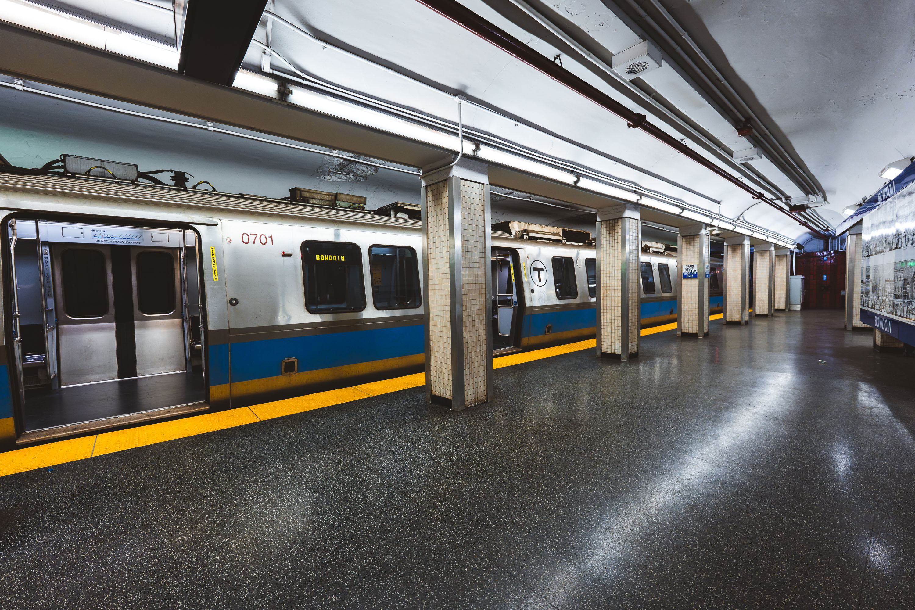
Bowdoin station in Boston with an MBTA Blue Line train at the platform.
Bowdoin station in Boston, Massachusetts, serves the MBTA Blue Line near Beacon Hill. The underground terminal is the western end of the Blue Line and provides access to the Massachusetts State House and surrounding government district.
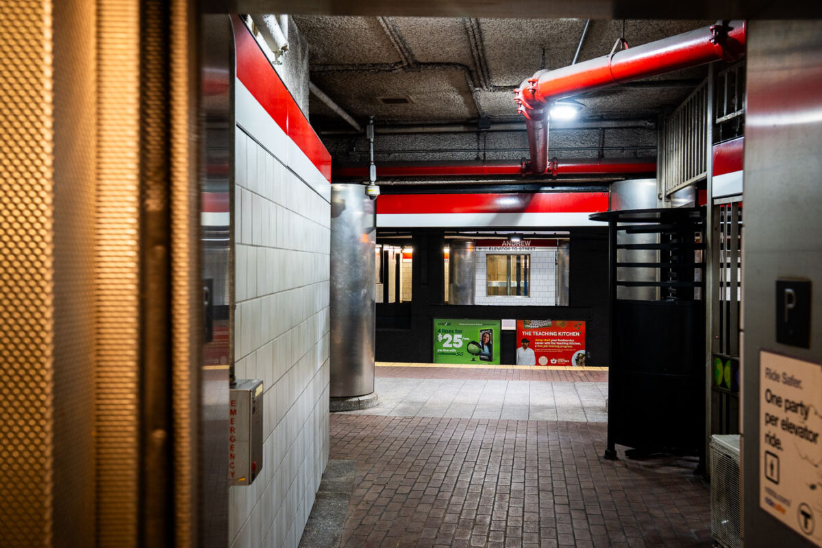
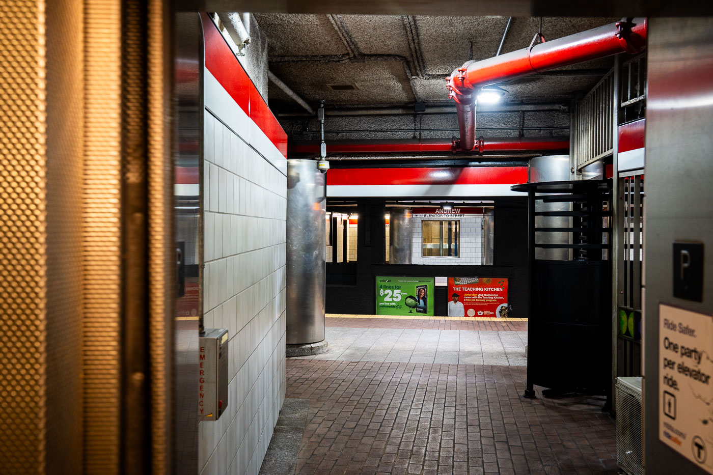
Andrew Station elevator access area at an MBTA Red Line station in Boston.
Andrew Station in Boston is an MBTA Red Line stop in South Boston, serving the Dorchester neighborhood and nearby transit corridors. The station includes elevators for accessible access between levels.

Built in Minneapolis

Minneapolis Photographer

Browse by location, move through long-running series, or start with recent work.