Place Archive
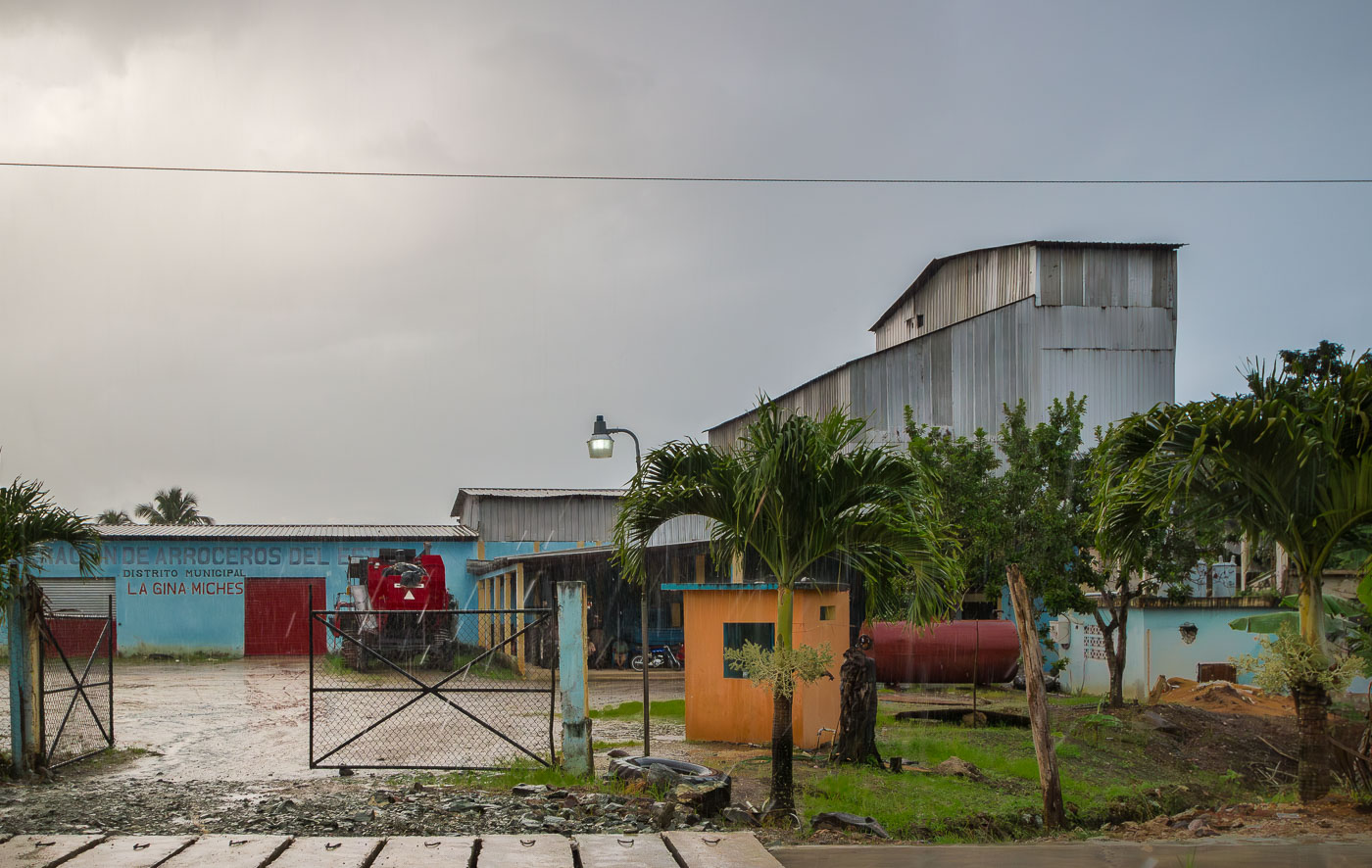
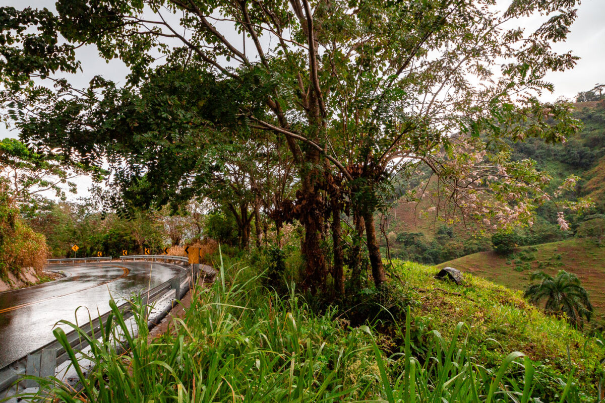
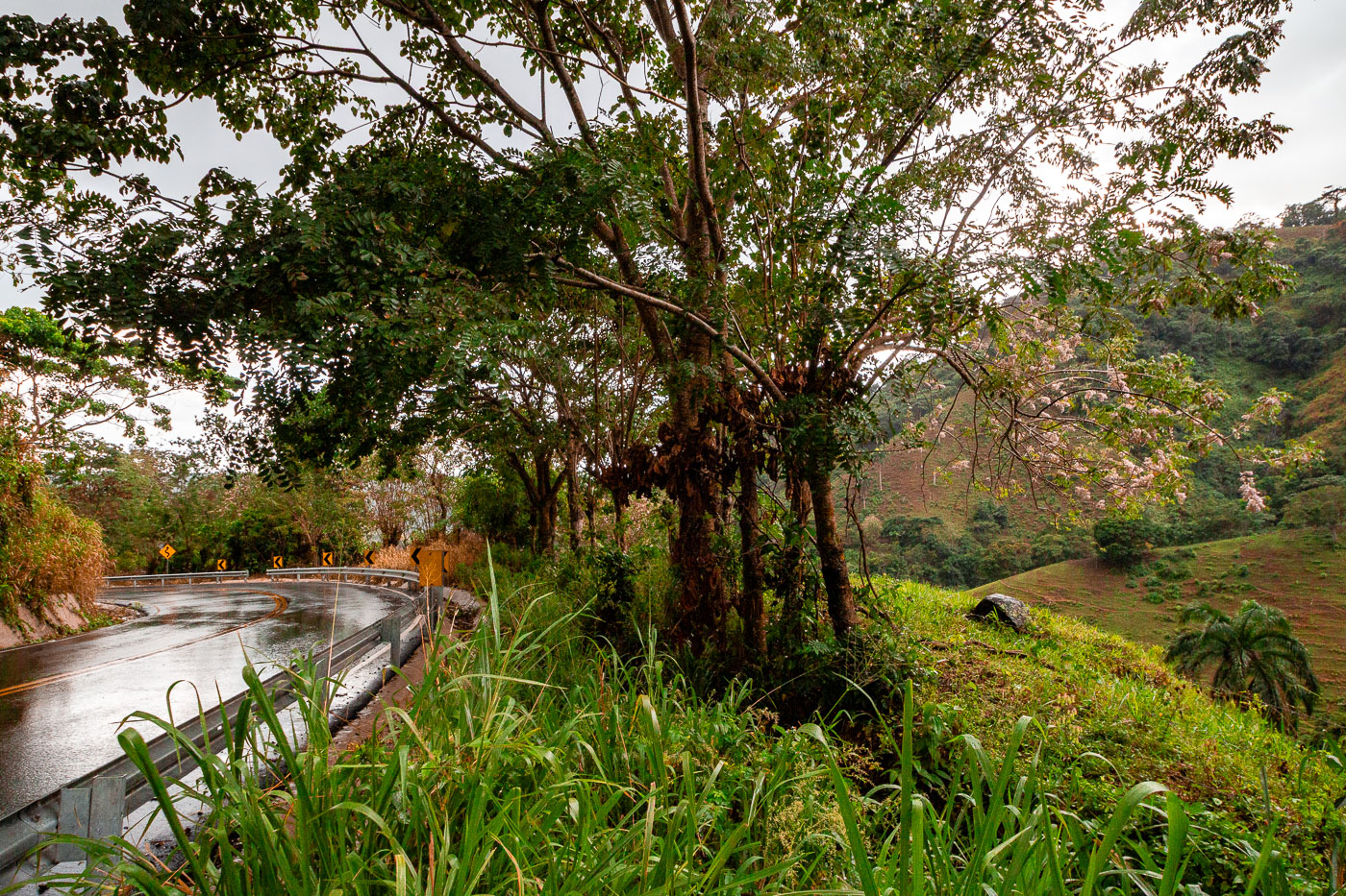
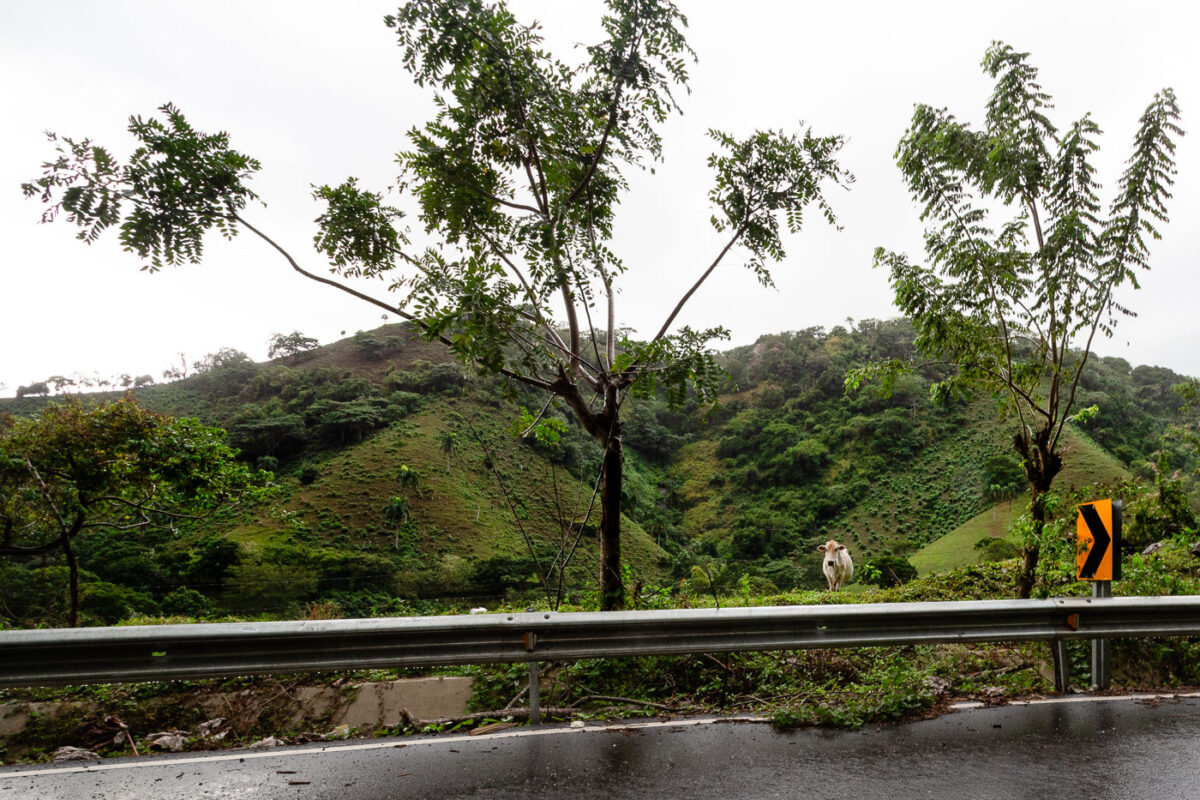
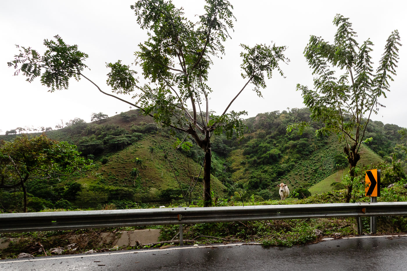
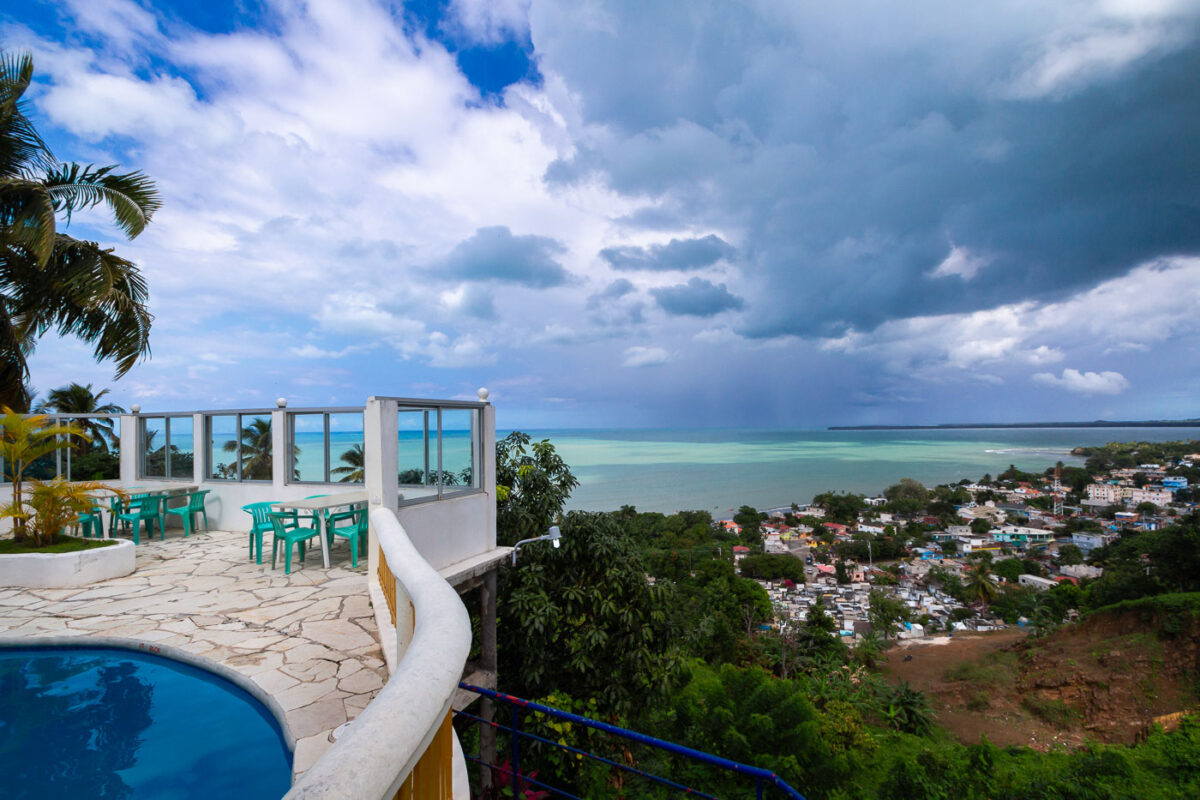
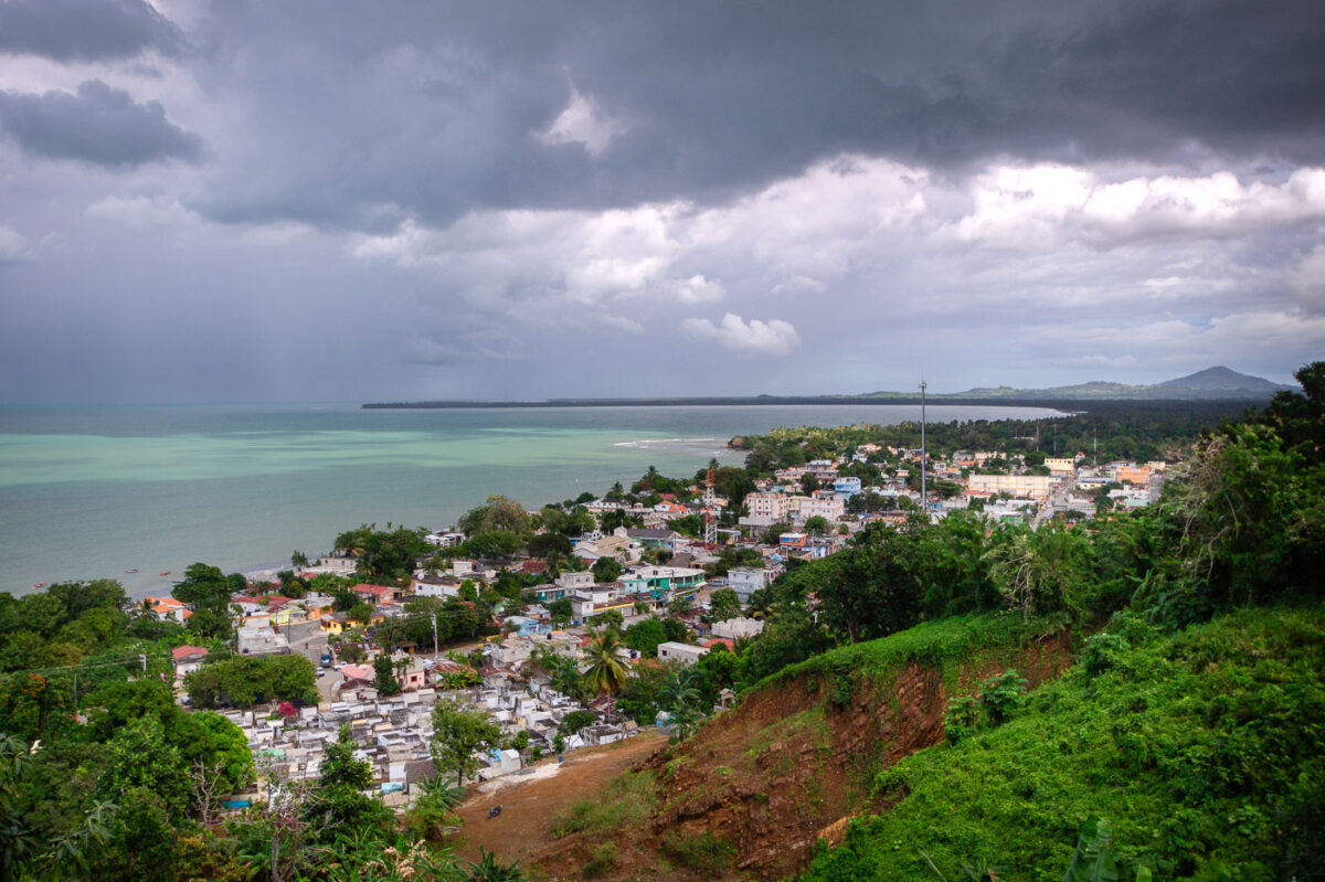
Miches / Northeast Coast
Photographs from Miches / Northeast Coast.
Map
Photo Map
Markers
Miches / Northeast Coast Photo Locations
8 geotagged photos
Photos


Place Archive
Photographs from Miches / Northeast Coast.
Map
Markers
8 geotagged photos
Photos