Place Archive

Liberia Interior

Guanacaste Province’s interior, centered around the city of Liberia, sits in one of Costa Rica’s driest regions, shaped by cattle ranching that has defined land use across its rolling hills for generations. Wind farms on the slopes of Volcán Cacao represent a more recent shift, as the province’s strong and consistent trade winds drew investment in renewable electricity generation. Unpaved roads still thread through forested terrain in the surrounding area, connecting agricultural land where livestock grazing remains common. The region holds two identities in tension: an older economy built on pasture and rural settlement, and a newer energy infrastructure that has altered the visual character of its volcanic highlands.

4 photos

Photos from Liberia Interior

An unpaved gravel road winds through dense forest in Alajuela Province, Costa Rica.
Alajuela Province spans the northern and central highlands of Costa Rica, stretching from the Central Valley near San José up to the Nicaraguan border. Much of its rural interior consists of small farms and cattle ranches connected by unpaved roads like this one, cut through secondary-growth forest that has reclaimed former pastureland over recent decades.
A brown cow faces the camera in a pasture in Alajuela Province, Costa Rica.
Alajuela Province sits in Costa Rica's Central Valley and northern lowlands, an area long given over to coffee farms, sugarcane, and cattle ranching. Brahman and Brahman-cross cattle, recognizable by their drooping ears and loose dewlap, are common on small Costa Rican farms because the breed tolerates heat and humidity better than European cattle. Barbed-wire fencing of the kind used here is the standard method for dividing pasture land on family-run fincas throughout the region.
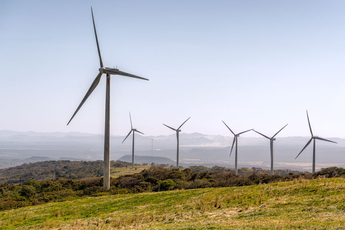
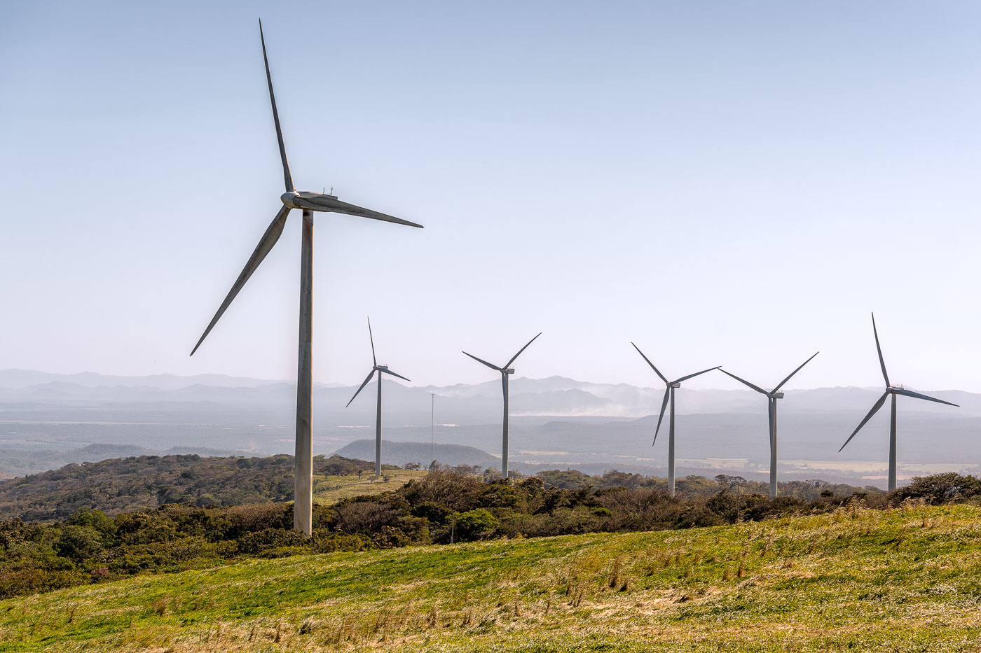
Wind turbines stand on rolling hills in Guanacaste Province, Costa Rica.
Guanacaste's wind farms sit along the mountain corridors near the Tempisque River basin, where steady northeast trade winds funnel through gaps in the Cordillera de Guanacaste. The region's wind-power development began in the early 1990s near Tilarán, among the first utility-scale wind installations in Latin America. Costa Rica's state utility, ICE, along with private operators, has since expanded turbine arrays across these hills to feed the national grid, which runs on renewable sources for most of the year. The consistent wind pattern that draws turbines to this landscape is the same seasonal airflow that makes nearby Lake Arenal a destination for windsurfing.
Wind turbines on pastureland with Volcán Cacao volcano rising in the background in Costa Rica's Guanacaste Province.
Volcán Cacao rises within Costa Rica's Área de Conservación Guanacaste, a UNESCO World Heritage Site that protects one of the last large tracts of tropical dry forest in Central America. The dormant volcano reaches 1,659 meters and marks the northern end of the Guanacaste Volcanic Range. Wind turbines cluster along its lower slopes as part of the wind farms built across northwestern Guanacaste to capture the strong trade winds that funnel through the region each dry season, roughly December through April. Costa Rica developed some of Central America's first commercial wind projects in this corridor beginning in the 1990s, drawn by the same seasonal winds that once shaped the area's cattle ranching economy.