Map
More from North Dakota

Missouri River Valley from the Bluffs at Fort Abraham Lincoln State Park
Fort Abraham Lincoln State Park sits along the Missouri River just south of Mandan, North Dakota, on bluffs overlooking the…

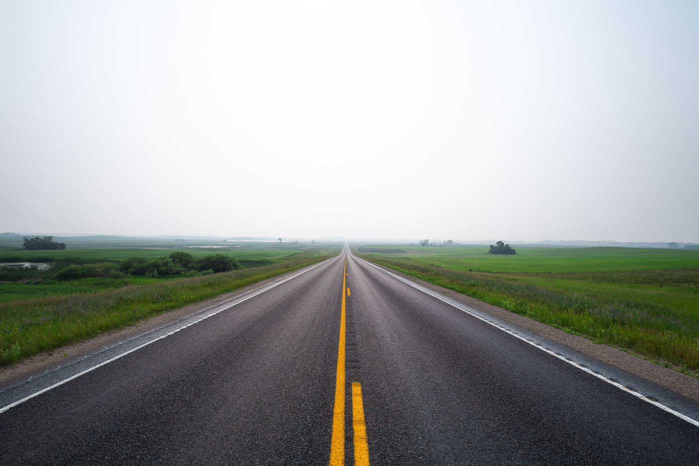
A Straight Stretch of Highway 17 Through Canola Country
Highway 17 runs north-south through Ramsey County in northeastern North Dakota, passing near the small community of Starkweather. The route…

Walking Beam and Horsehead of a Pumpjack in the Bakken
The horsehead and walking beam shown here are part of a beam pump, the standard mechanism used to bring crude…

Submerged Pilings of the Woodland Resort, Devils Lake
Devils Lake has risen more than 25 feet since the early 1990s, flooding thousands of acres of farmland, roads, and…

Canola and Wheat Fields Outside Starkweather, North Dakota
North Dakota leads the nation in canola production, growing roughly 90 percent of the U.S. crop, much of it across…

Eroded Buttes of the North Dakota Badlands Near Medora
These layered buttes sit within the Little Missouri Badlands, part of the Little Missouri National Grassland in western North Dakota.…