Starkweather

2 photos · 2015

2 photographs tagged Starkweather, 2015.
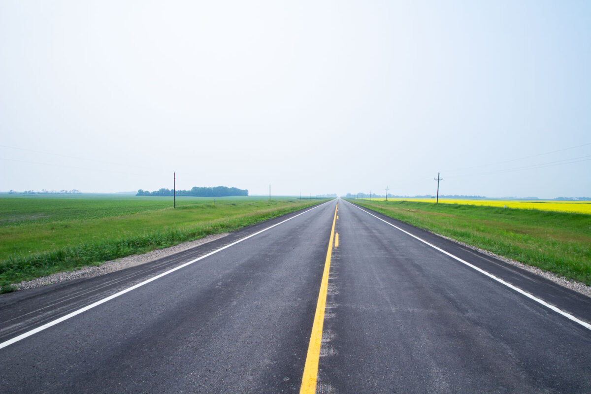
Straight highway with yellow center line crossing flat agricultural fields in North Dakota.
Highway 17 runs north-south through Ramsey County in northeastern North Dakota, passing near the small community of Starkweather. The route cuts through land farmed primarily for wheat, canola, and soybeans, part of the broader Drift Prairie region shaped by glacial deposits. Canola became a significant rotation crop in North Dakota starting in the 1990s, and the state now leads the nation in canola production. Rural highways like this one remain the primary link for area farms to grain elevators and regional markets.

A Straight Stretch of Highway 17 Through Canola Country
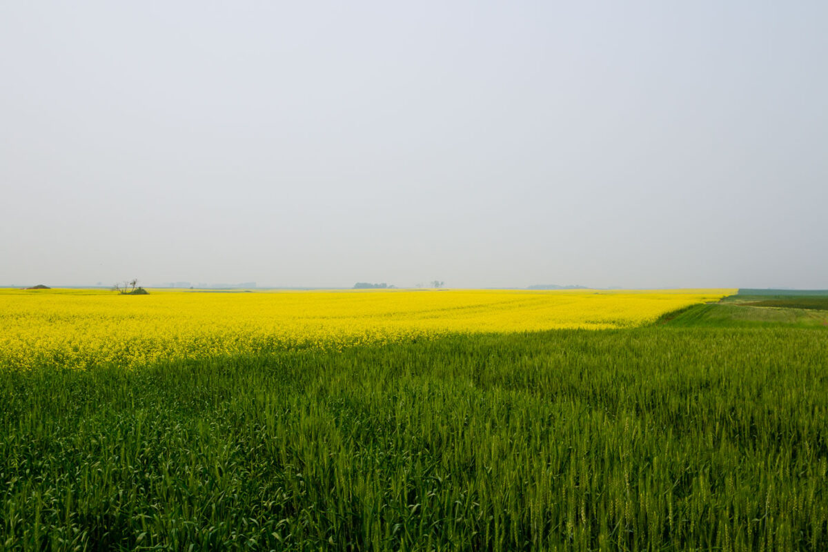
Yellow canola and green wheat fields near Starkweather, North Dakota.
North Dakota leads the nation in canola production, growing roughly 90 percent of the U.S. crop, much of it across the Devils Lake and Langdon Plain regions near Starkweather. Canola planted here in May typically reaches full bloom by early July, the stage captured in fields like this one. The crop is crushed for vegetable oil and animal meal, with canola processing plants in Velva and other North Dakota towns anchoring the state's supply chain. Wheat remains the state's other dominant crop, and spring wheat varieties planted alongside canola are usually still green and unheaded at the same point in the growing season.

Canola and Wheat Fields Outside Starkweather, North Dakota