North

8 photos · 2019–2023

8 photographs tagged North, 2019–2023.

London North alignment marker embedded in a pavement corner.
A North alignment marker is set into a London pavement at the corner of a tiled street structure. These survey markers provide fixed reference points for mapping and engineering work.

London North Alignment Marker in Pavement
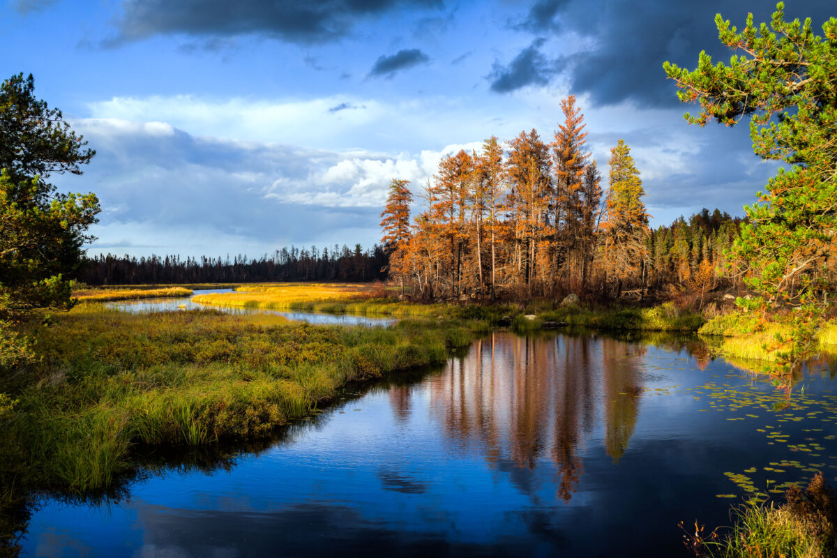
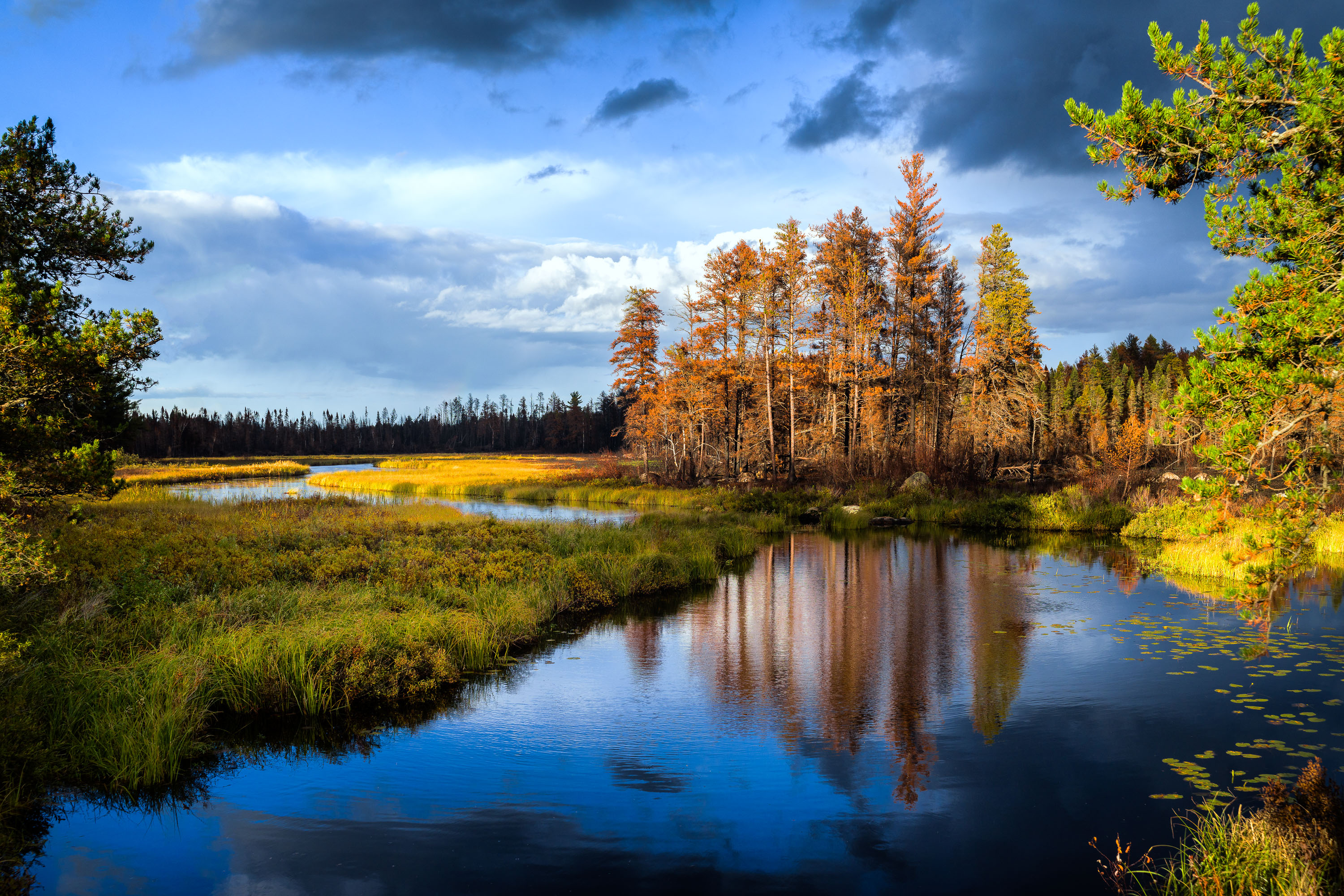
Sand River in Superior National Forest near Isabella, Minnesota, with autumn trees and reflections in calm water
Sand River in Superior National Forest near Isabella, Minnesota. Autumn light illuminates the river bends, wetland grasses, and mixed conifer and hardwood forest under a partly cloudy sky.

Sand River in Superior National Forest, Minnesota
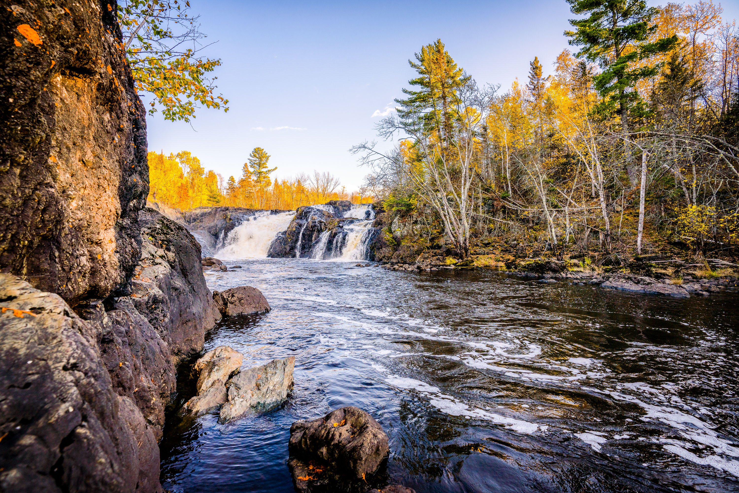
Kawishiwi Falls cascades over rocky outcrops surrounded by autumn forest in Superior National Forest, Minnesota.
Kawishiwi Falls sits along the Kawishiwi River near Ely, Minnesota, within the Superior National Forest. The river is part of the Boundary Waters Canoe Area Wilderness watershed, feeding eventually into Birch Lake and the broader Rainy Lake drainage system. The falls drop over a series of rock ledges typical of the exposed Canadian Shield bedrock that underlies much of the Ely area. Ely itself grew as a mining and logging town before becoming a gateway community for wilderness canoeing and outdoor recreation in the Superior National Forest.

Kawishiwi Falls, Superior National Forest, Minnesota

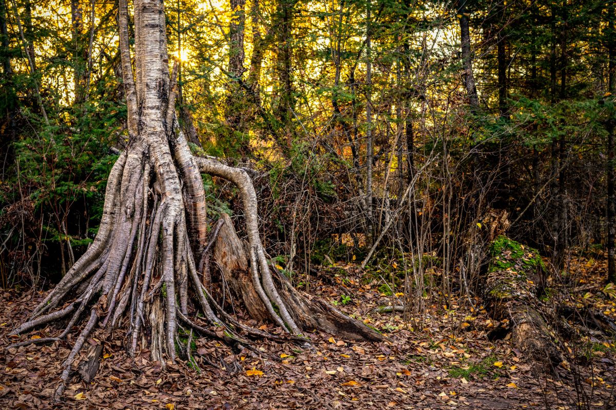
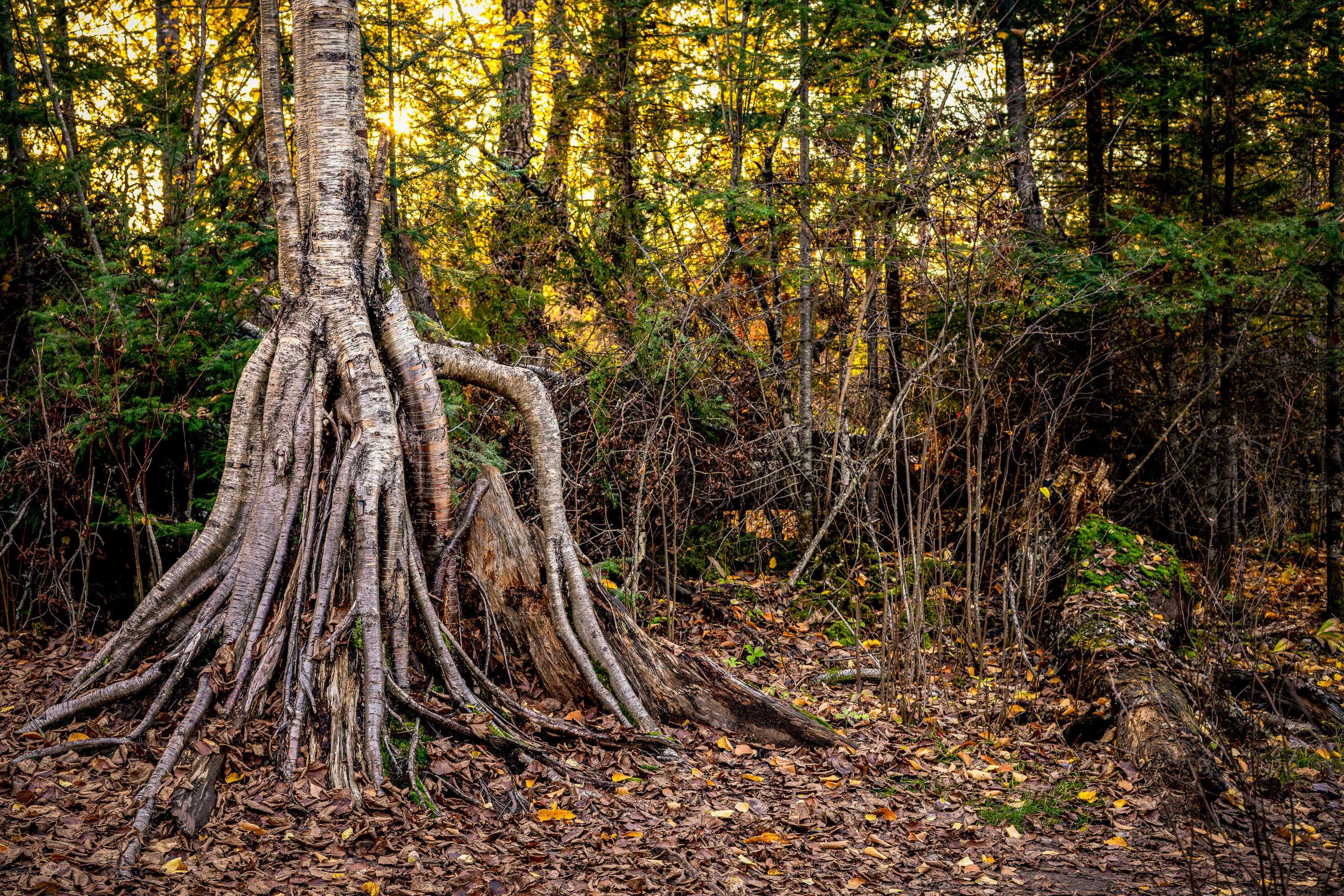
Tree with exposed root system spreads across forest floor in woods near Ely, Minnesota.
Ely sits at the edge of the Superior National Forest and serves as a gateway to the Boundary Waters Canoe Area Wilderness, more than a million acres of lakes, rivers, and forest along the Minnesota-Ontario border. The thin, rocky soil common to this part of the state often forces paper birch trees to send roots wide across the surface rather than deep underground, leaving root systems like this one exposed as surrounding earth erodes away over time.

Exposed Birch Roots in the Superior National Forest, Ely, Minnesota

International Market Square building with yellow brick facade and IMS signage in Minneapolis.
International Market Square occupies a former Munsingwear factory at 275 Market Street in Minneapolis's North Loop. Built in 1912 for the underwear and apparel manufacturer, the building was converted in 1985 into a wholesale design center for furniture, textiles and home décor showrooms. It's listed on the National Register of Historic Places and today houses design firms, architecture offices and trade showrooms open to the public during Minneapolis's biannual design events. The rooftop signage spelling out "IMS" and "International Market Square" was added as part of the 1980s redevelopment, marking the building's shift from manufacturing to design commerce.

IMS Building, International Market Square, North Loop Minneapolis

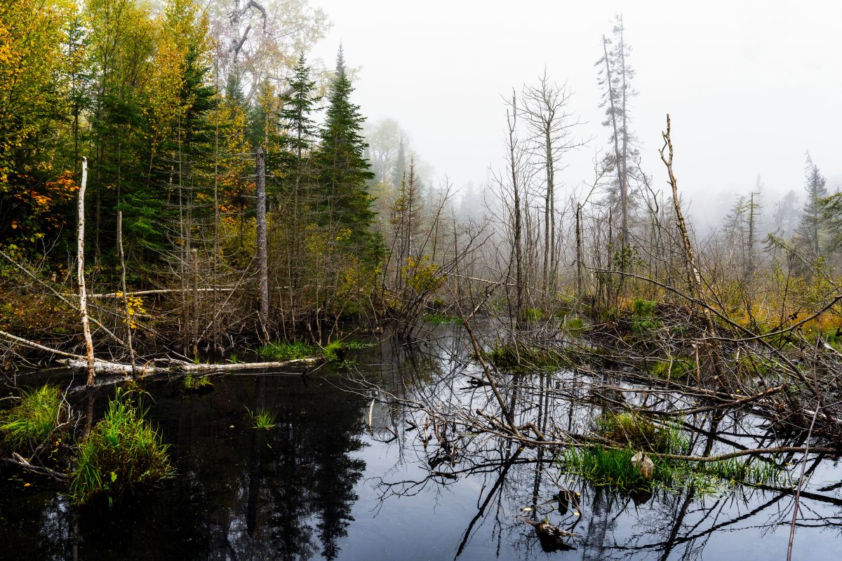
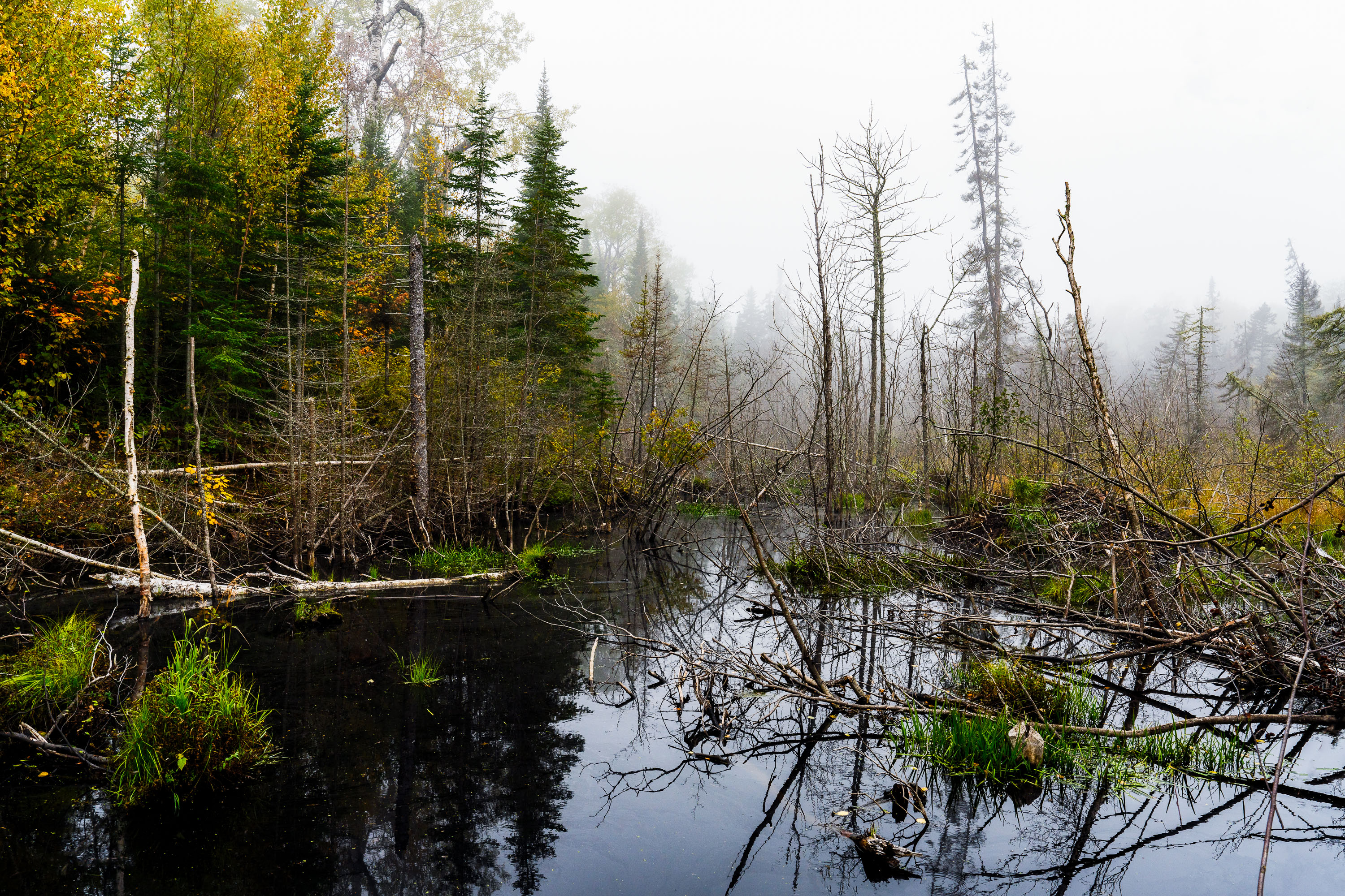
Flooded beaver wetland with standing dead trees near Shoe Lake Road in Superior National Forest, Minnesota.
Shoe Lake Road runs through the Superior National Forest in Cook County, Minnesota, near the edge of the Boundary Waters Canoe Area Wilderness. The surrounding forest is a mix of northern hardwoods and conifers, including birch, spruce, and balsam fir, typical of this part of the Superior National Forest. Beaver activity is common along the region's low-lying wetlands, where dammed water and downed trees create the shallow ponds and standing deadwood found throughout this stretch of forest. The area sits within the Laurentian Divide watershed, which separates drainage toward Lake Superior from waters flowing north toward Hudson Bay.

Beaver Pond Wetland Near Shoe Lake Road, Superior National Forest

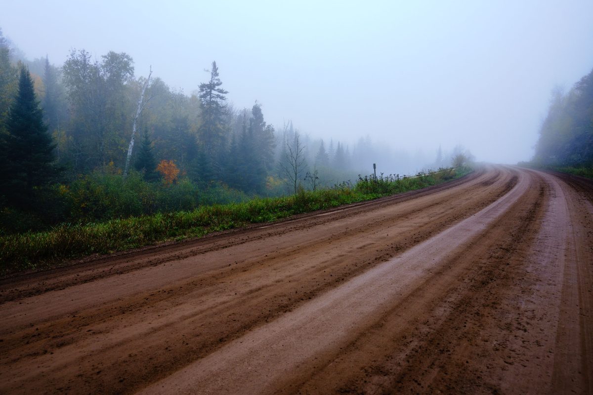
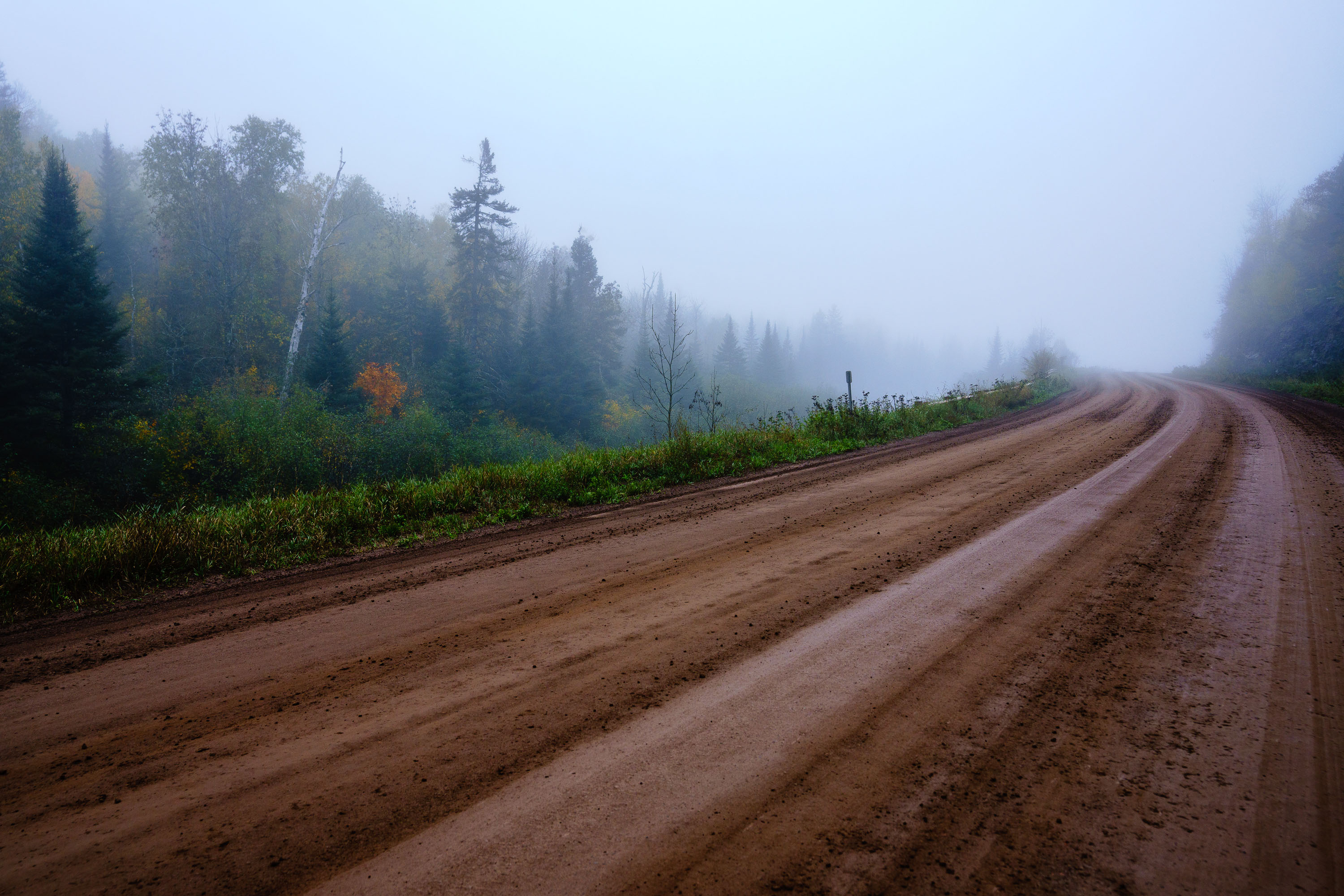
Unpaved dirt road disappears into fog through boreal forest in northeastern Minnesota during autumn.
Finland, Minnesota, is an unincorporated community in Lake County, about 20 miles inland from Lake Superior's North Shore. The community sits within the Superior National Forest, where unpaved forest roads like this one link scattered homesteads to logging tracts and recreation areas. Fall color in this part of northeastern Minnesota typically peaks in late September to early October, and morning fog is common as cool, moist air settles over the forest canopy this time of year.

Fog on an Unpaved Forest Road near Finland, Minnesota

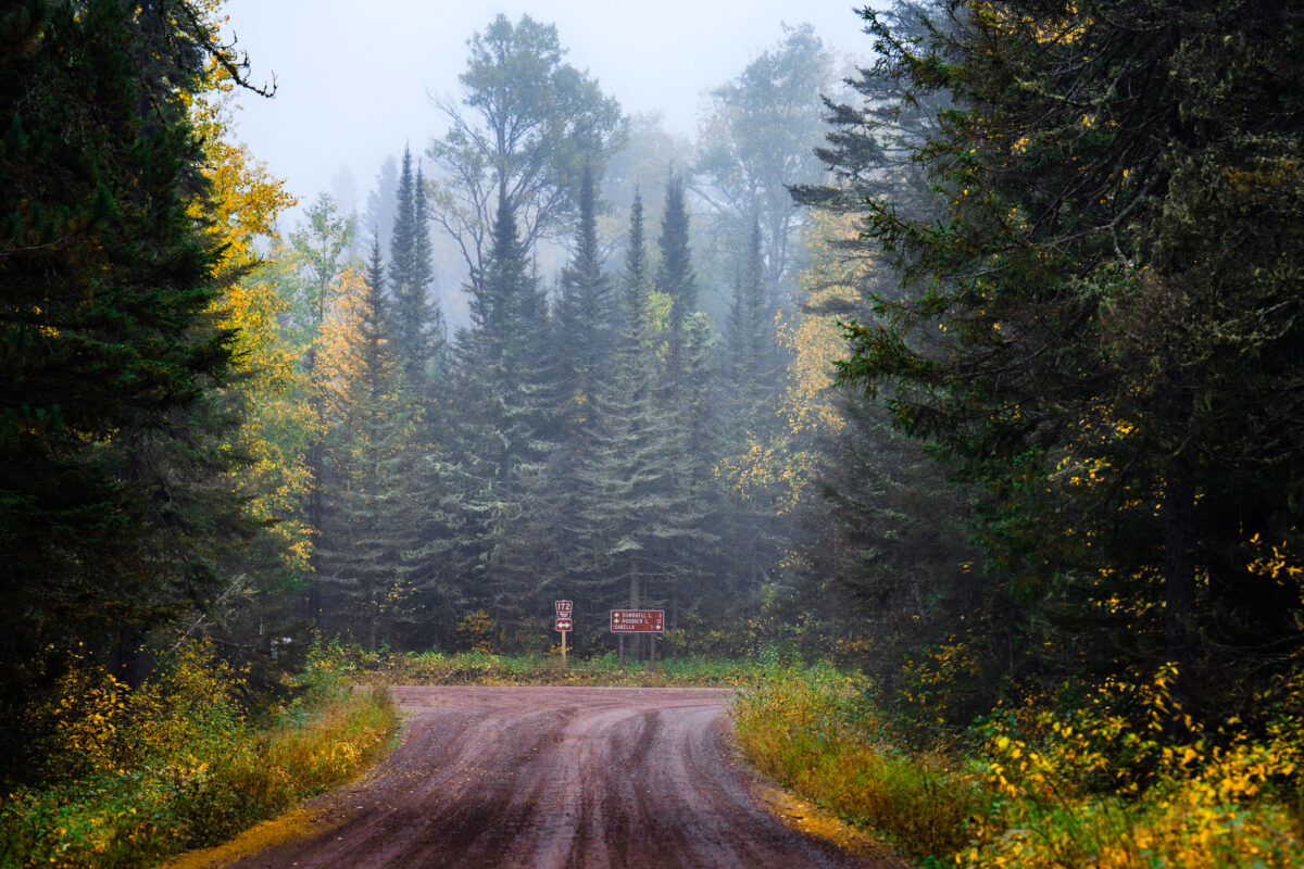
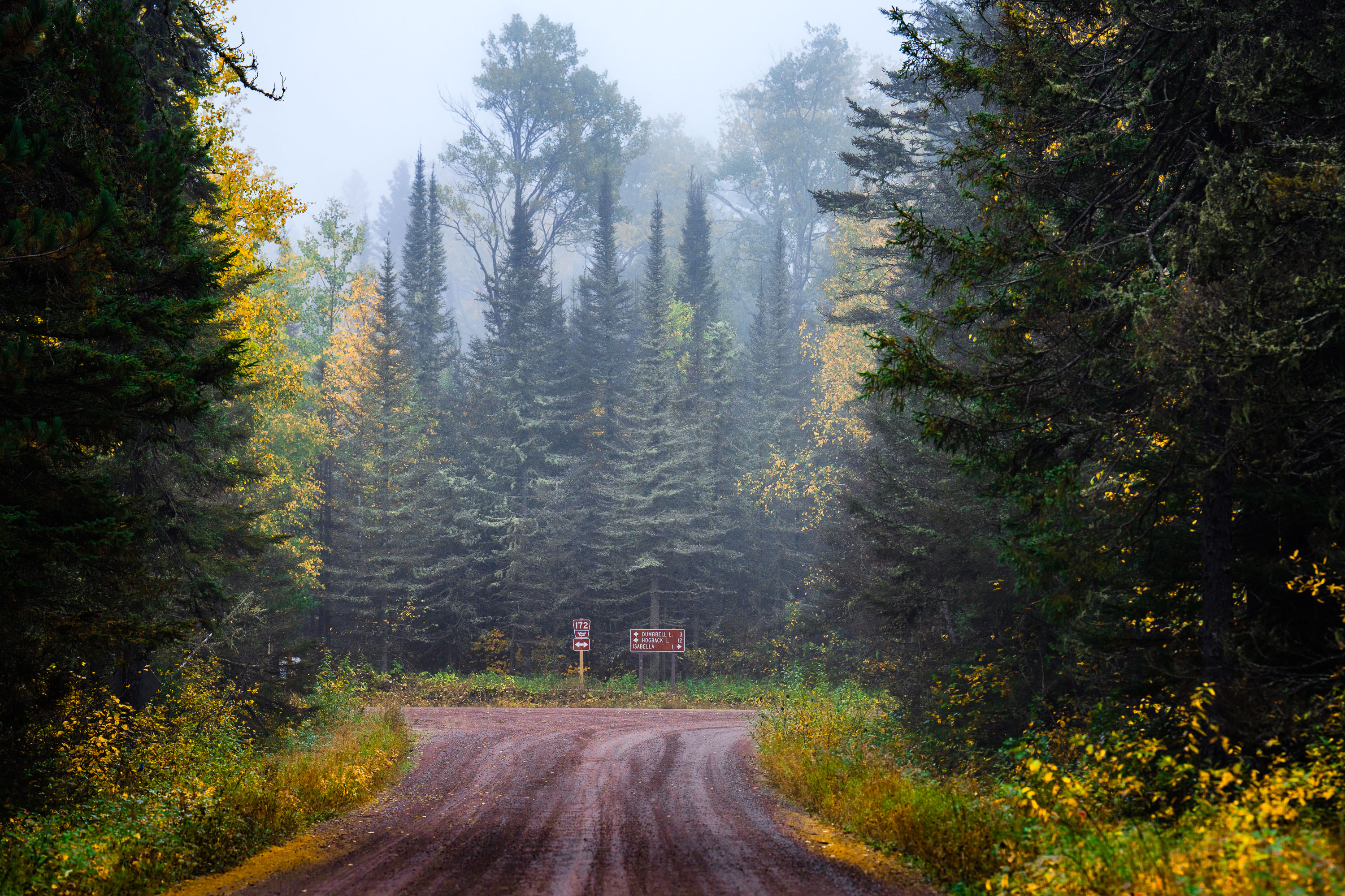
A gravel road winds through a foggy coniferous forest in Superior National Forest, Minnesota, with signs pointing to Dumbbell Lake and Hogback Lake.
A gravel road winds through the dense coniferous forest of Superior National Forest near Isabella, Minnesota. Signs indicate Route 172 and directions to Dumbbell Lake and Hogback Lake. The autumn foliage is visible amidst the evergreen trees, with fog obscuring the distance.

Foggy Road in Superior National Forest, Minnesota
Built in Minneapolis

Minneapolis Photographer

Browse by location, move through long-running series, or start with recent work.