Minneapolis Skyline At Night

22 photos · 2012–2024

22 photographs tagged Minneapolis Skyline At Night, 2012–2024.

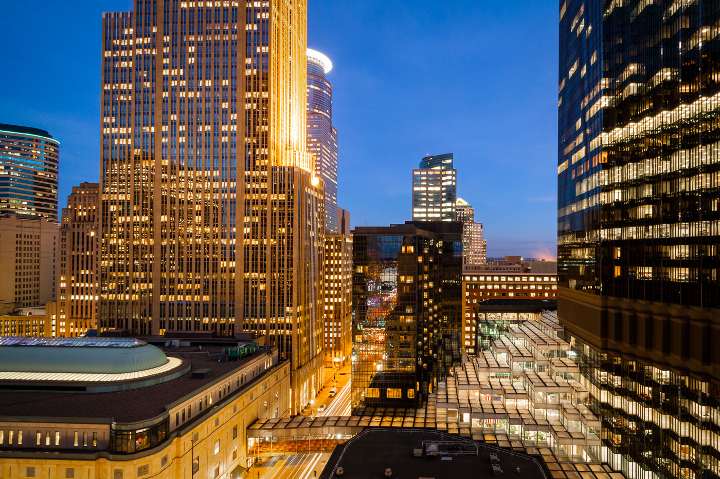
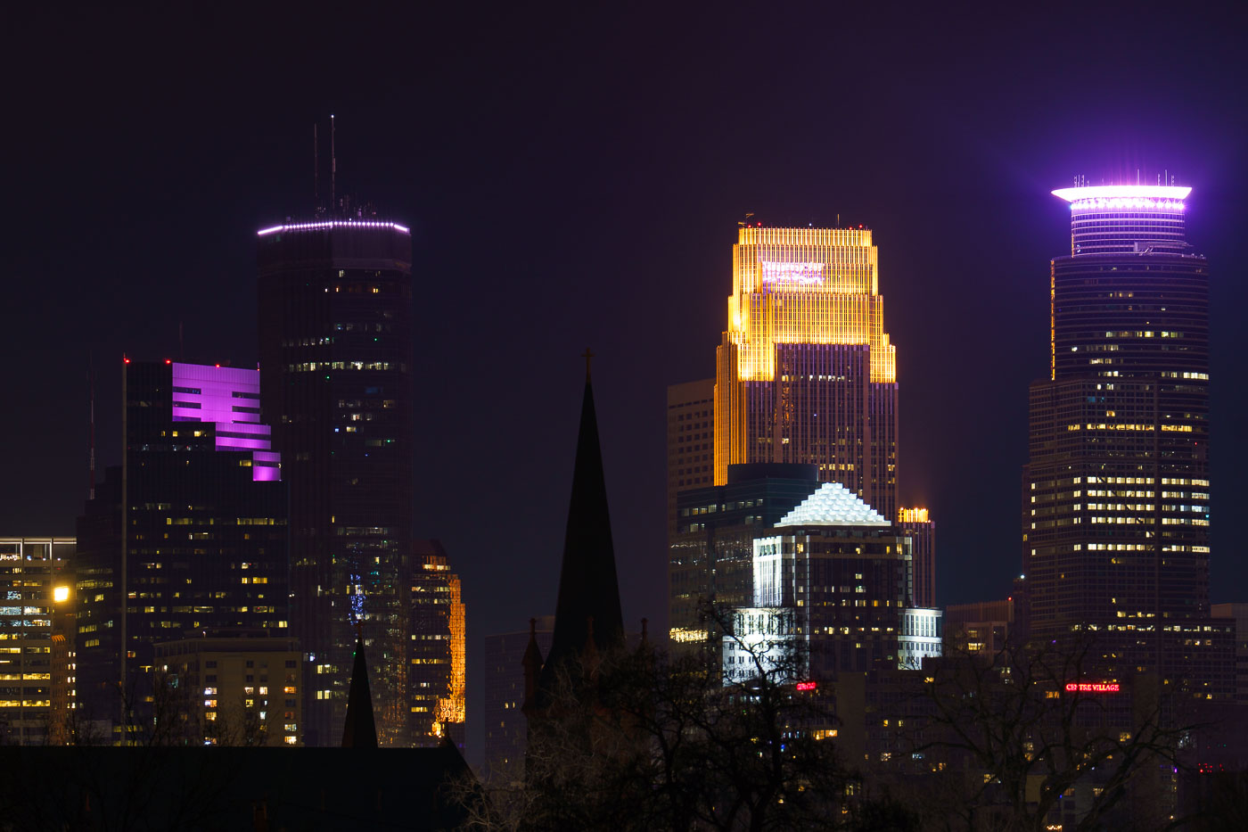
Downtown Minneapolis skyline at night featuring the IDS Center and Capella Tower among surrounding office buildings.
The Minneapolis skyline includes the IDS Center, Capella Tower, and Foshay Tower, three of downtown's best known towers. The IDS Center, completed in 1972, rises 792 feet and remains the tallest building in Minnesota. The Foshay Tower, finished in 1929 as the city's first skyscraper, modeled its stepped shape after the Washington Monument.

Minneapolis Skyline: IDS Center, Capella Tower at Night
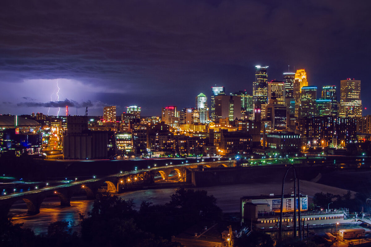
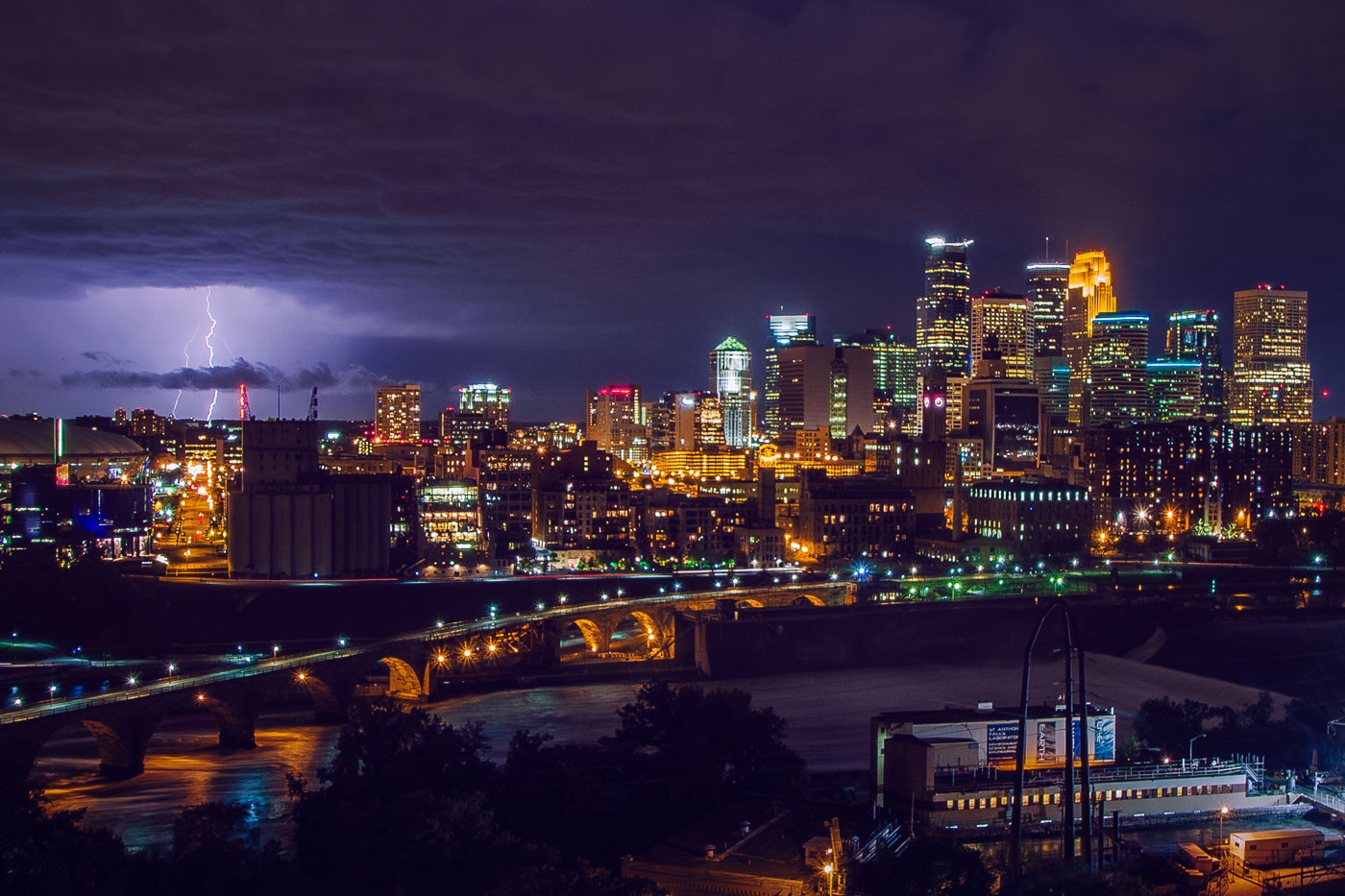
Lightning strikes over downtown Minneapolis skyline at night, with the Stone Arch Bridge spanning the Mississippi River.
The Stone Arch Bridge crosses the Mississippi River below Saint Anthony Falls in downtown Minneapolis. Railroad magnate James J. Hill built it in 1883 for the Great Northern Railway, and it now carries pedestrians and cyclists between the river's east and west banks. Lightning flashes over the downtown skyline beyond it.

Lightning Over Downtown Minneapolis and the Stone Arch Bridge
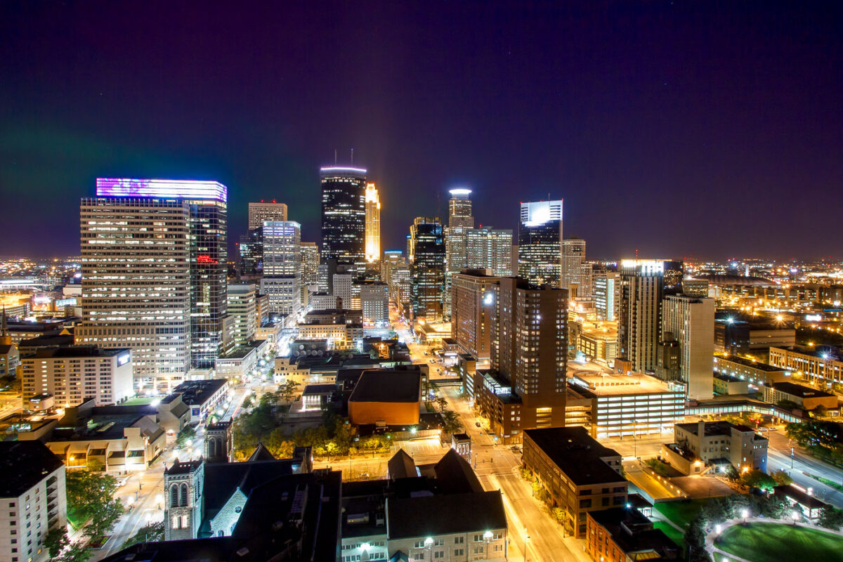
Northern Lights are visible over the Minneapolis skyline at night, illuminating the downtown area with city lights and natural aurora.
The Northern Lights are visible above the Minneapolis skyline on a clear night. The city's downtown area is illuminated by streetlights and the lights from office buildings and residences.

Northern Lights Over Downtown Minneapolis Skyline
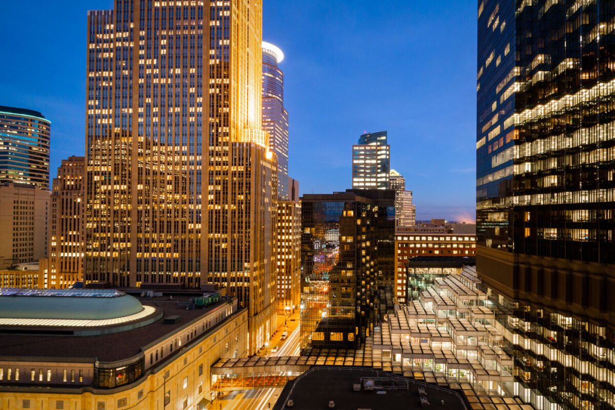
The IDS Center and Crystal Court in downtown Minneapolis at night, showcasing modernist architecture and urban infrastructure.
The IDS Center, completed in 1973, stands as a prominent skyscraper in downtown Minneapolis, designed by architect Philip Johnson. Adjacent to it is the Crystal Court, an enclosed public plaza that connects various buildings within the downtown area. The IDS Center was the tallest building in Minneapolis until 2000 and remains a significant example of modernist architecture. The Crystal Court serves as a vital pedestrian thoroughfare and a central gathering space, particularly notable for its climate-controlled environment, allowing for year-round use by the public.

Crystal Court and IDS Center, Downtown Minneapolis at Night
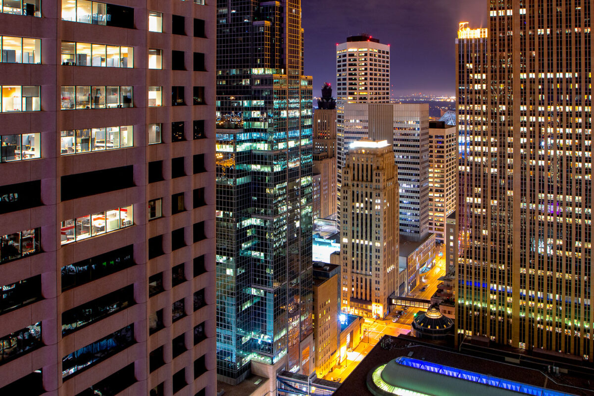
Downtown Minneapolis skyscrapers lit at night.
The core of Downtown Minneapolis is illuminated at night, showcasing a collection of office buildings and architectural styles. These structures represent the city's commercial and financial hub, with many dating back to the mid-20th century and later. The lights indicate ongoing activity within these business centers, reflecting their continued use for commerce and employment. This view highlights the density and verticality of the urban environment, characteristic of major American cities.

Downtown Minneapolis Buildings at Night
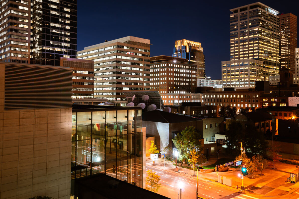
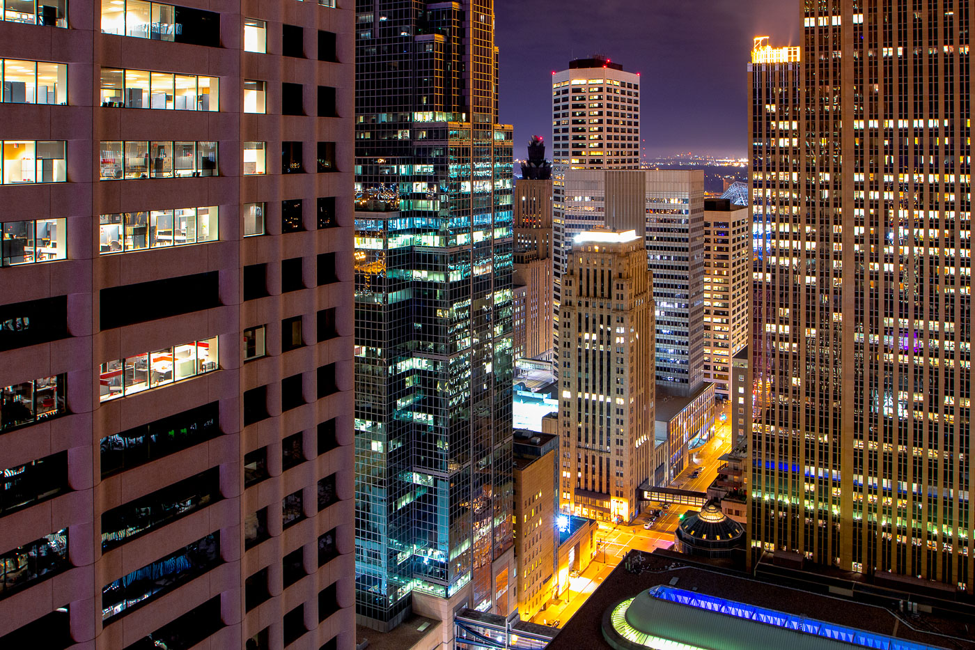
Marquette Avenue in Downtown Minneapolis at night, showing illuminated office buildings in the city's central business district.
Marquette Avenue in Downtown Minneapolis is a central artery for the city's business district. The street is lined with numerous office buildings, reflecting the area's role as a hub for commerce and finance. Many of these structures are illuminated at night, showcasing the active professional environment that continues after business hours. The architecture visible represents a range of modern and mid-century design, contributing to the city's distinct urban character.

Marquette Avenue, Downtown Minneapolis at Night
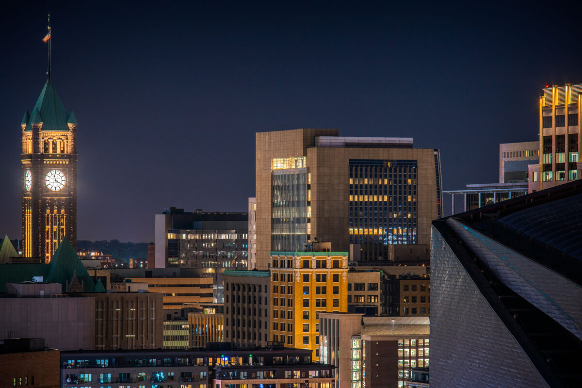
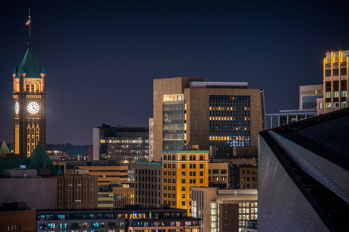
Minneapolis City Hall's illuminated clock tower and green copper roof rise above the downtown skyline at night.
Minneapolis City Hall’s clock tower rises above downtown Minneapolis at night. The historic building was completed in 1909.

Downtown Minneapolis Skyline with City Hall’s Clock Tower
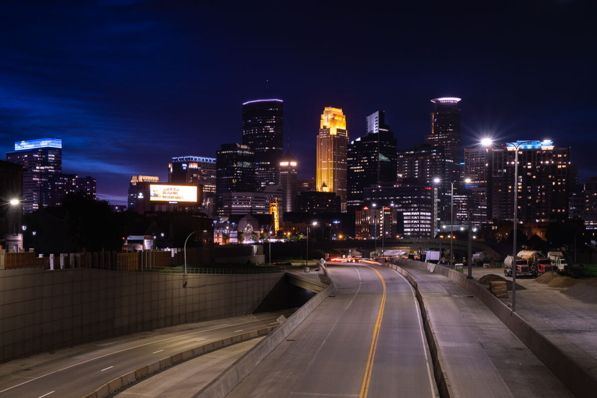
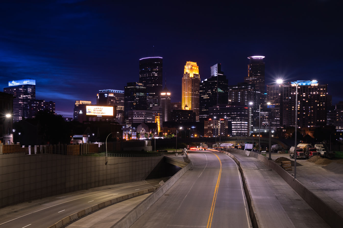
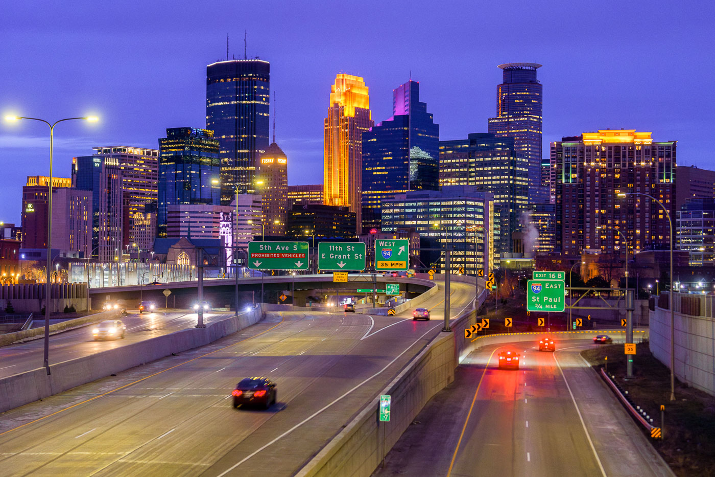
Interstate 35W construction approaching downtown Minneapolis at night with the skyline beyond.
Interstate 35W approaches downtown Minneapolis during overnight construction in July 2020. The freeway corridor curves toward the central business district, with lane shifts, barriers, and active work areas visible along the roadway. The Minneapolis skyline rises beyond the construction zone.

Interstate 35W construction approaching downtown Minneapolis

Night protest march on Interstate 94 in Minneapolis with participants carrying signs and banners for social justice.
This march moved onto Interstate 94 near downtown Minneapolis, shutting down a stretch of the freeway that links the city's core to neighborhoods on its edges. Demonstrators carried signs and a banner reading "All Power to the People," part of a wave of protests that followed the 2020 election. Minnesota State Patrol and Minneapolis police later closed in on marchers on the freeway, leading to roughly 646 arrests and citations — one of the largest mass detentions in the state's history.

Protesters March Onto Interstate 94 at Night in Minneapolis

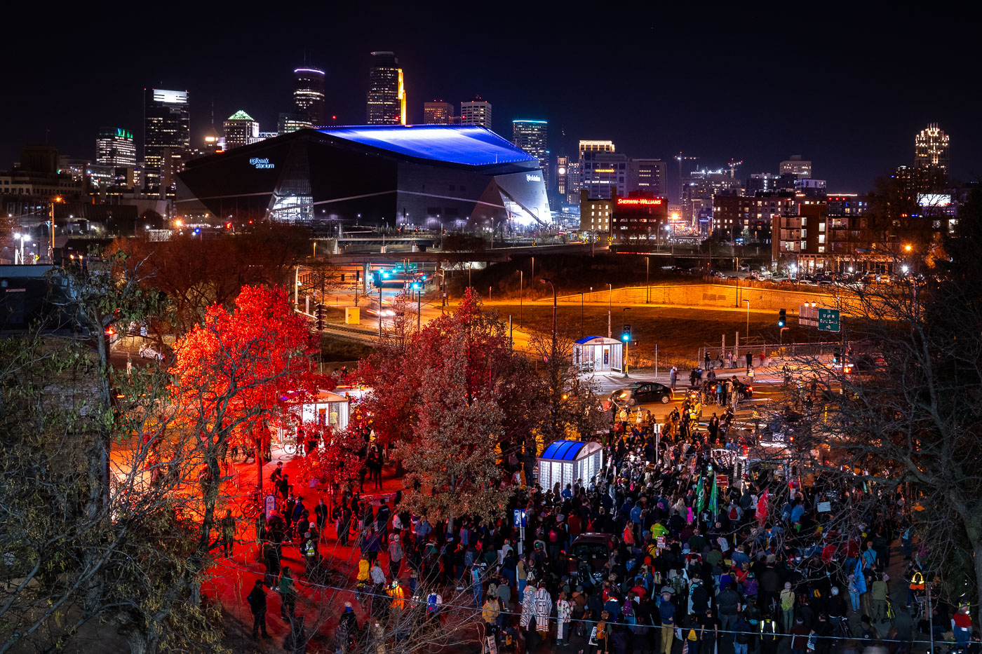
Crowd of protesters gathers in downtown Minneapolis at night near U.S. Bank Stadium during November 2020 march.
Crowds gathered near U.S. Bank Stadium on the night of November 4, 2020, the evening after Election Day, before marching toward Interstate 94. Minnesota State Patrol and Minneapolis police later arrested 646 people for occupying the highway, the largest mass arrest in state history.

Post-Election Protest March Near U.S. Bank Stadium
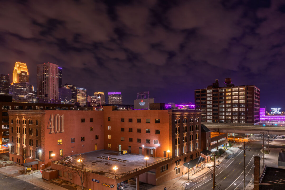
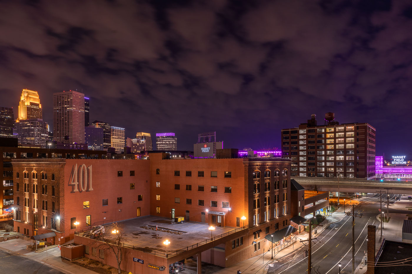
The 401 Building, a converted warehouse with residential units, anchors North Loop with downtown Minneapolis skyline beyond at
The 401 Building at 401 North Third Street began as a warehouse in the North Loop's old warehouse district, part of the milling and shipping infrastructure that once served the riverfront. Like many of its neighbors, it's since been converted to loft-style condominiums and commercial space, a common path for the district's brick-and-timber buildings since the 1980s. Target Field Station, visible to the east, opened in 2014 as a transit hub serving Northstar Commuter Rail, light rail, and bus routes, along with a public plaza used for Minnesota Twins game-day events. Downtown Minneapolis rises beyond both, its cluster of high-rises anchored by the IDS Center and Wells Fargo Center towers.

The 401 Building and Minneapolis Skyline From North Loop
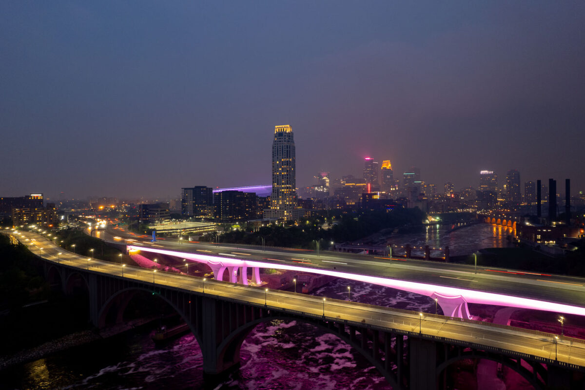
2 bridges over the Mississippi River and city skyline
The I-35W Bridge and the 10th Avenue Bridge cross the Mississippi River in Minneapolis, Minnesota, under a sky obscured by smoke from Canadian wildfires. This atmospheric condition, which led to air quality advisories, significantly reduced visibility across the city. The I-35W Bridge serves as a major north-south transportation route, while the 10th Avenue Bridge, with its distinctive arches, is a notable element of the city's infrastructure.

Minneapolis I-35W Bridge in Wildfire Smoke
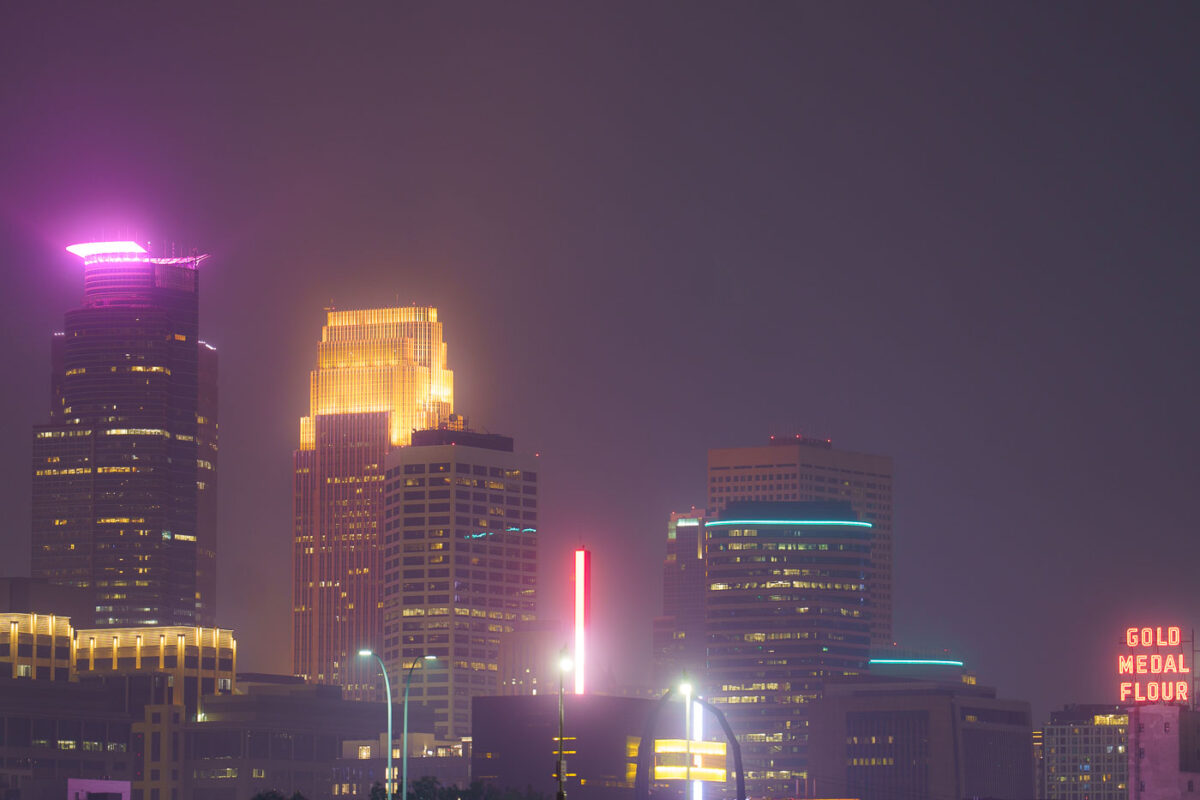
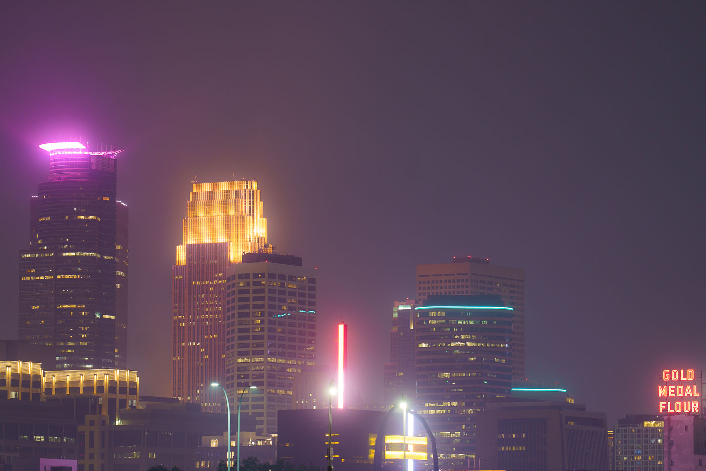
Night photo of Minneapolis skyline during air quality alerts
The Minneapolis city skyline is obscured by haze from Canadian wildfires, impacting air quality across the region. The "Gold Medal Flour" sign, a historic landmark dating back to the early 20th century, is visible through the atmospheric conditions. This event highlights the increasing frequency of such air quality alerts due to climate change and widespread wildfires. The city's downtown core, with its mix of modern skyscrapers and older structures, serves as the economic and cultural hub of Minnesota.

Minneapolis Skyline Under Wildfire Smoke Haze
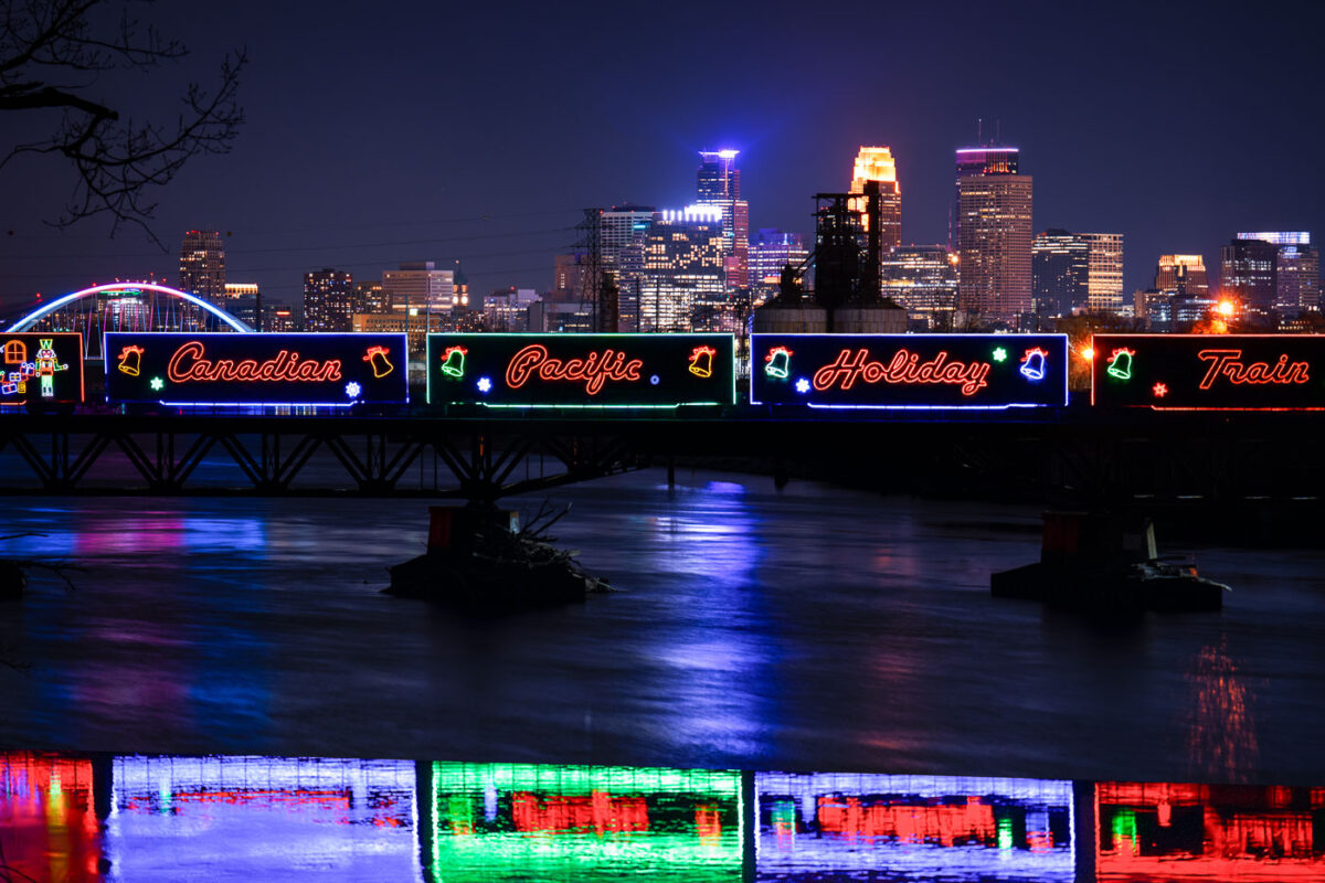
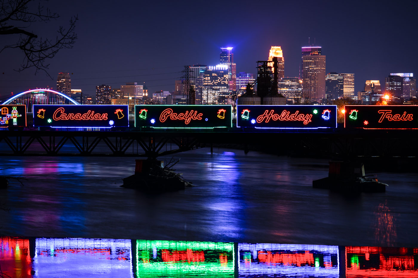
Canadian Pacific Holiday Train with neon signage crosses Lowry Avenue Bridge over Mississippi River in Minneapolis.
The Canadian Pacific Kansas City Holiday Train crosses the Mississippi River on the Lowry Avenue Bridge in Minneapolis on December 11, 2023. The annual train raises money and collects food donations for local food banks as it travels across North America during the holiday season. The decorated cars are part of a long-running program that has generated millions of dollars and millions of pounds of food donations since it began in 1999.

Holiday Train Crossing the Lowry Avenue Bridge in Minneapolis
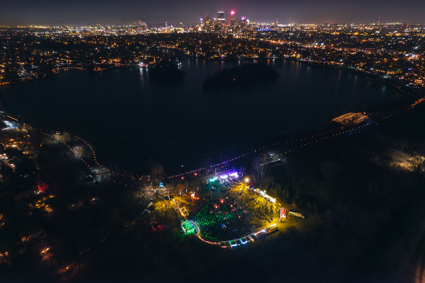
Aerial view of Lake of the Isles in Minneapolis at night with illuminated luminaries lining the parkway pathways around the dark water.
The Luminary Loppet, an annual winter festival, took place around Lake of the Isles in Minneapolis in February 2024. Due to unseasonably warm weather, the event's traditional route across the frozen lake was relocated to the surrounding parkways, where participants walked among thousands of luminaries.

Aerial View of the Luminary Loppet Beside Lake of the Isles

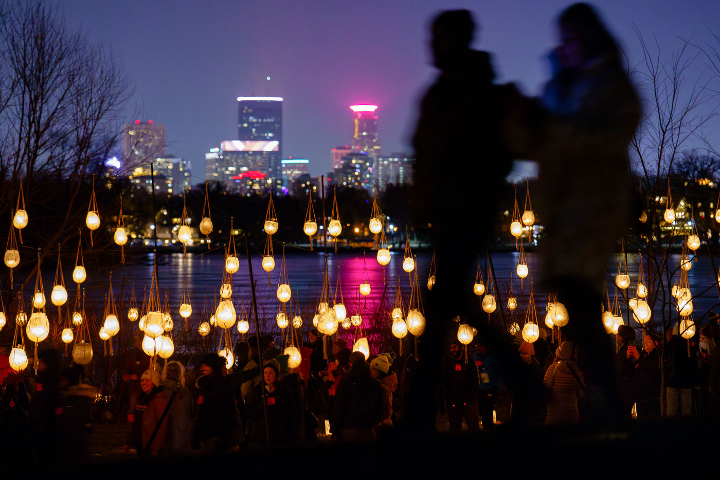
A couple walk in front of luminaries with city skyline
Participants gather for the Luminary Loppet around Lake of the Isles in Minneapolis during February 2024. Due to unseasonably warm weather, the annual winter event was held off the ice, a departure from its traditional setup.

Luminary Loppet Luminaries, Lake of the Isles 2024
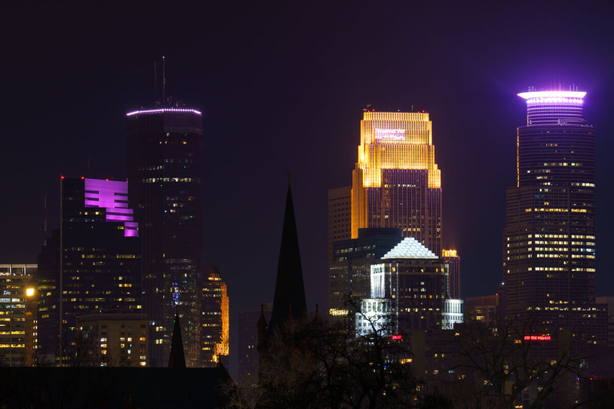
Minneapolis Skyscraper seen from South
The downtown Minneapolis skyline, featuring prominent structures such as the IDS Center and Capella Tower, is illuminated at night, as viewed from the Martin Olav Sabo Bridge in February 2024. Completed in 1972, the IDS Center was the tallest building in Minneapolis for decades, serving as a key commercial hub. The Capella Tower, finished in 1992, further defines the city's financial district. The Martin Olav Sabo Bridge, opened in 2007, is a pedestrian and bicycle bridge that forms a crucial link in the Midtown Greenway, an important urban trail system.

Minneapolis Skyline at Night from Martin Olav Sabo Bridge
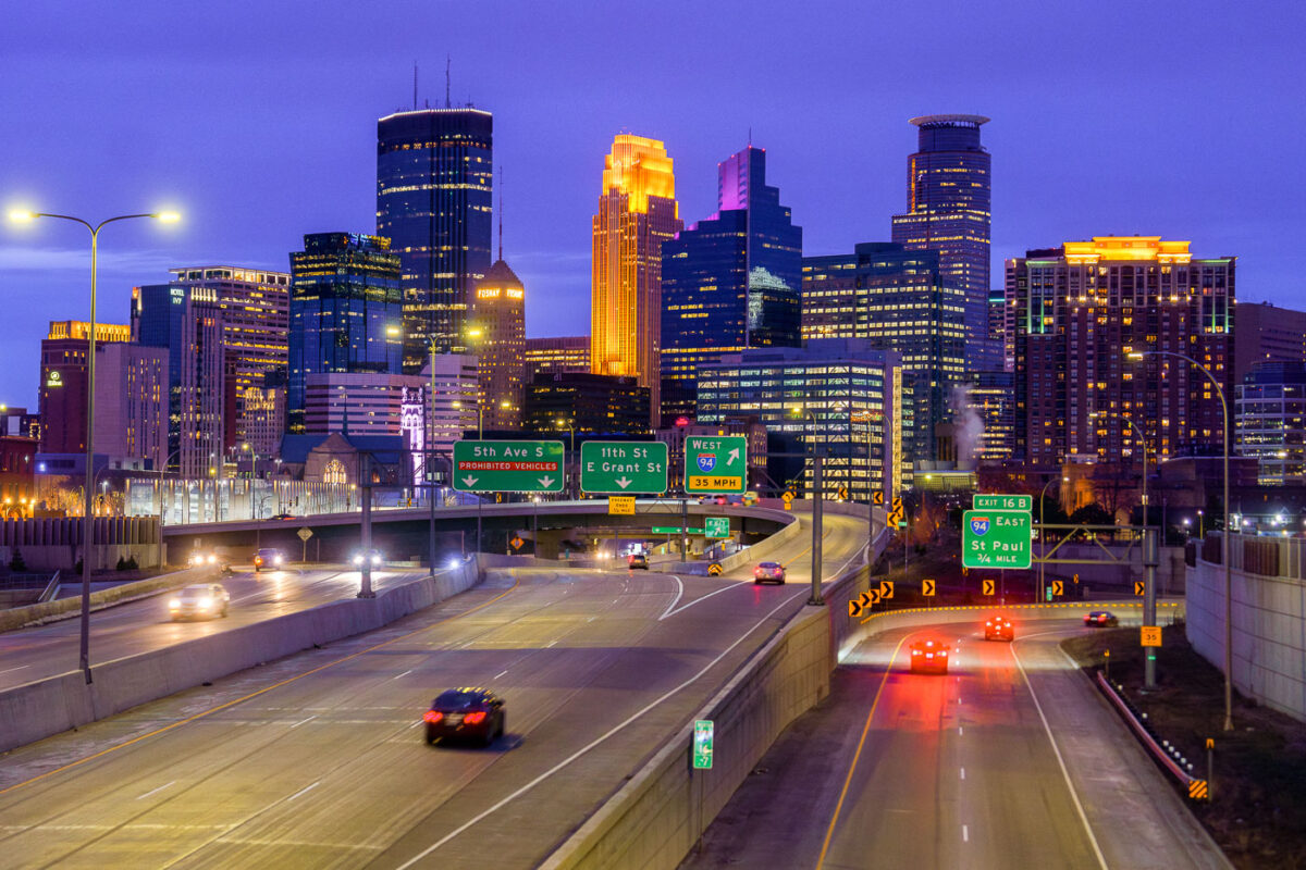
Minneapolis skyline from I35W in April 2024
The Downtown Minneapolis skyline rises above Interstate 35W, a vital north-south freeway corridor, as seen in April 2024.

Downtown Minneapolis Skyline from I-35W Bridge, April 2024
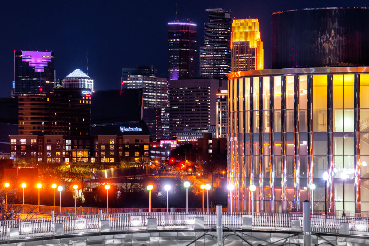
Bruininks Hall in Minneapolis at night
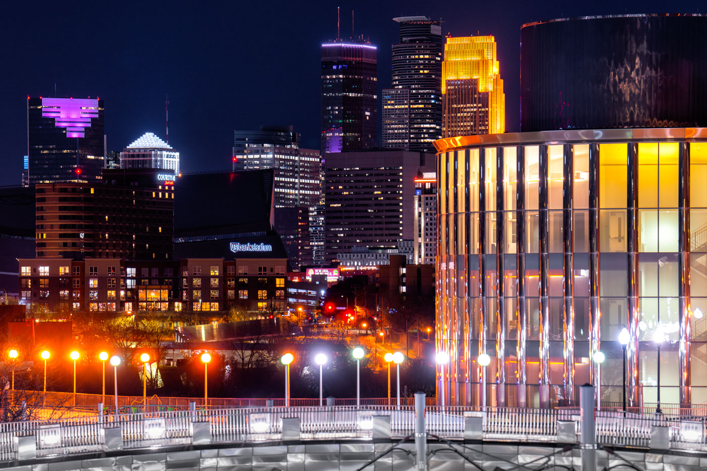
Bruininks Hall at the University of Minnesota in Minneapolis is prominently featured against the city's night skyline. Completed in 2014, this academic building serves as a central hub for student services and classrooms on the East Bank campus, near the Dinkytown neighborhood.

Bruininks Hall, Minneapolis Skyline at Night
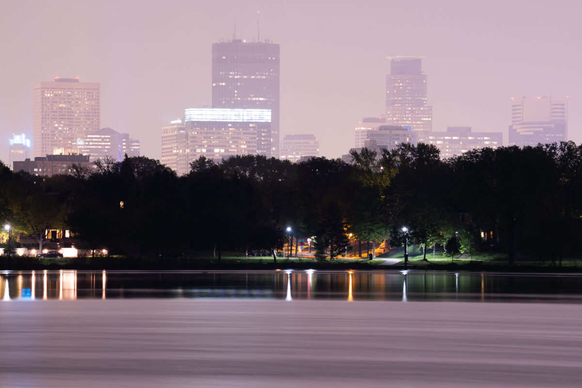
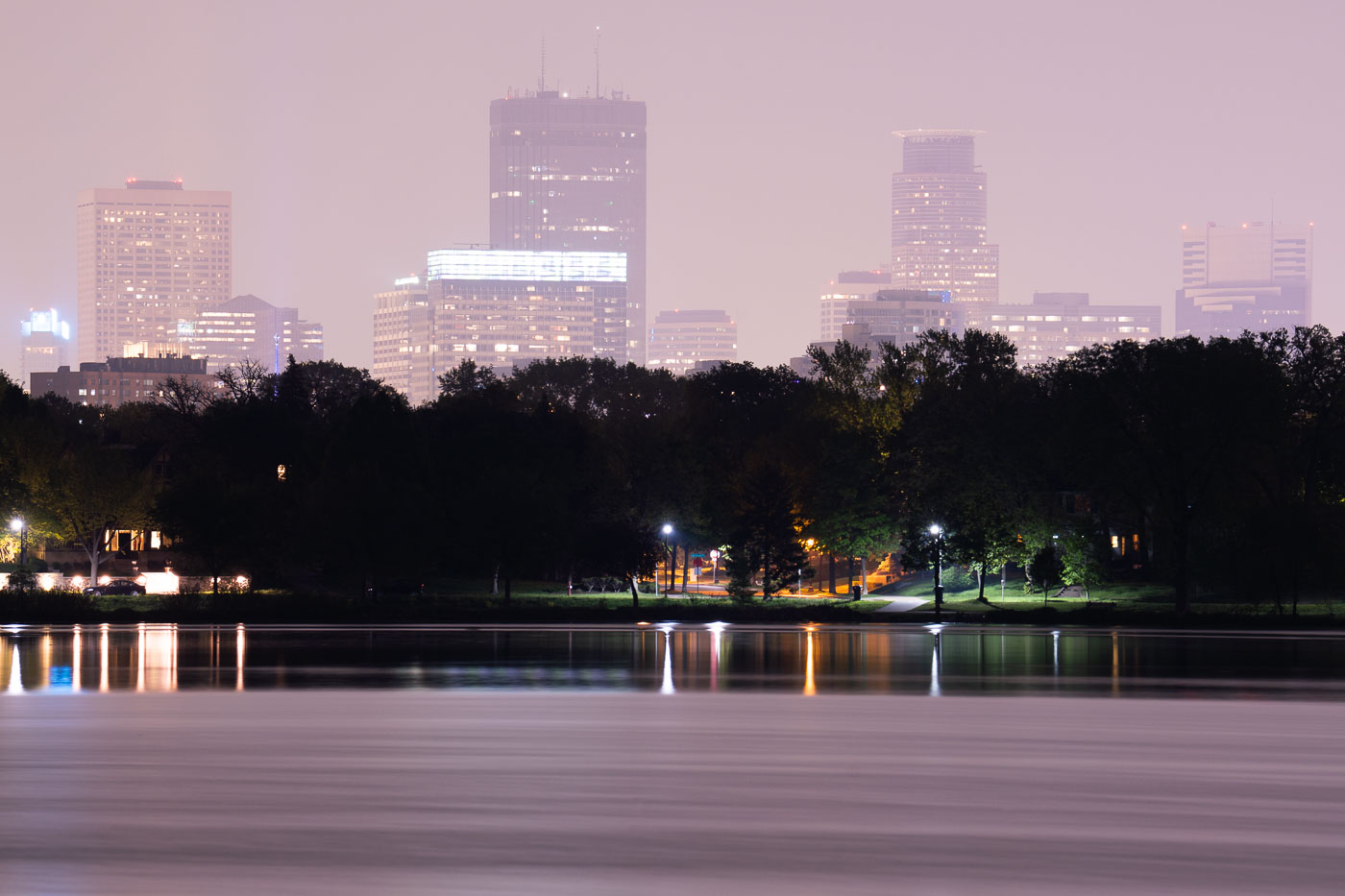
Downtown Minneapolis skyline at dusk across Lake of the Isles, obscured by Canadian wildfire smoke in May 2024.
Lake of the Isles is one of the Minneapolis Chain of Lakes, covering about 108 acres with a maximum depth of 20 feet. Smoke from Canadian wildfires drifts over the downtown Minneapolis skyline in May 2024.

Canadian Wildfire Smoke Drifts Over Lake of the Isles

Downtown Minneapolis skyline illuminated at night from the shore of Bde Maka Ska lake.
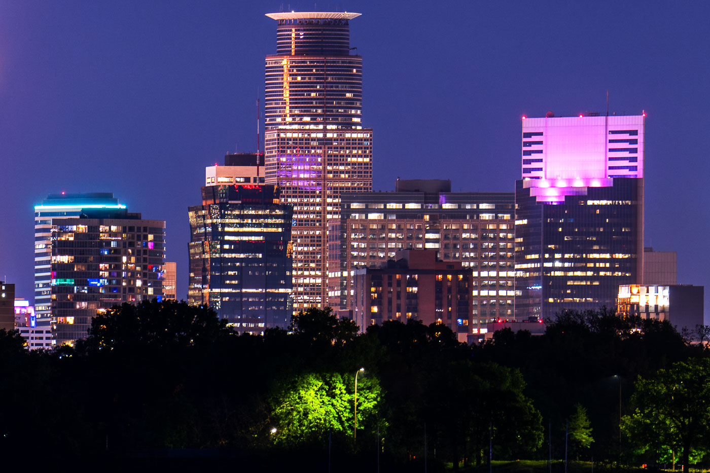
Capella Tower stands in the downtown Minneapolis skyline near the west shore of Bde Maka Ska. Built in 1992, the 776 foot tower is Minneapolis's second tallest building. Bde Maka Ska, the largest lake in Minneapolis at 401 acres, took its Dakota name in 2018 after over a century as Lake Calhoun.

Capella Tower and the Minneapolis Skyline from Bde Maka Ska

Downtown Minneapolis from new Green Line Train Extension
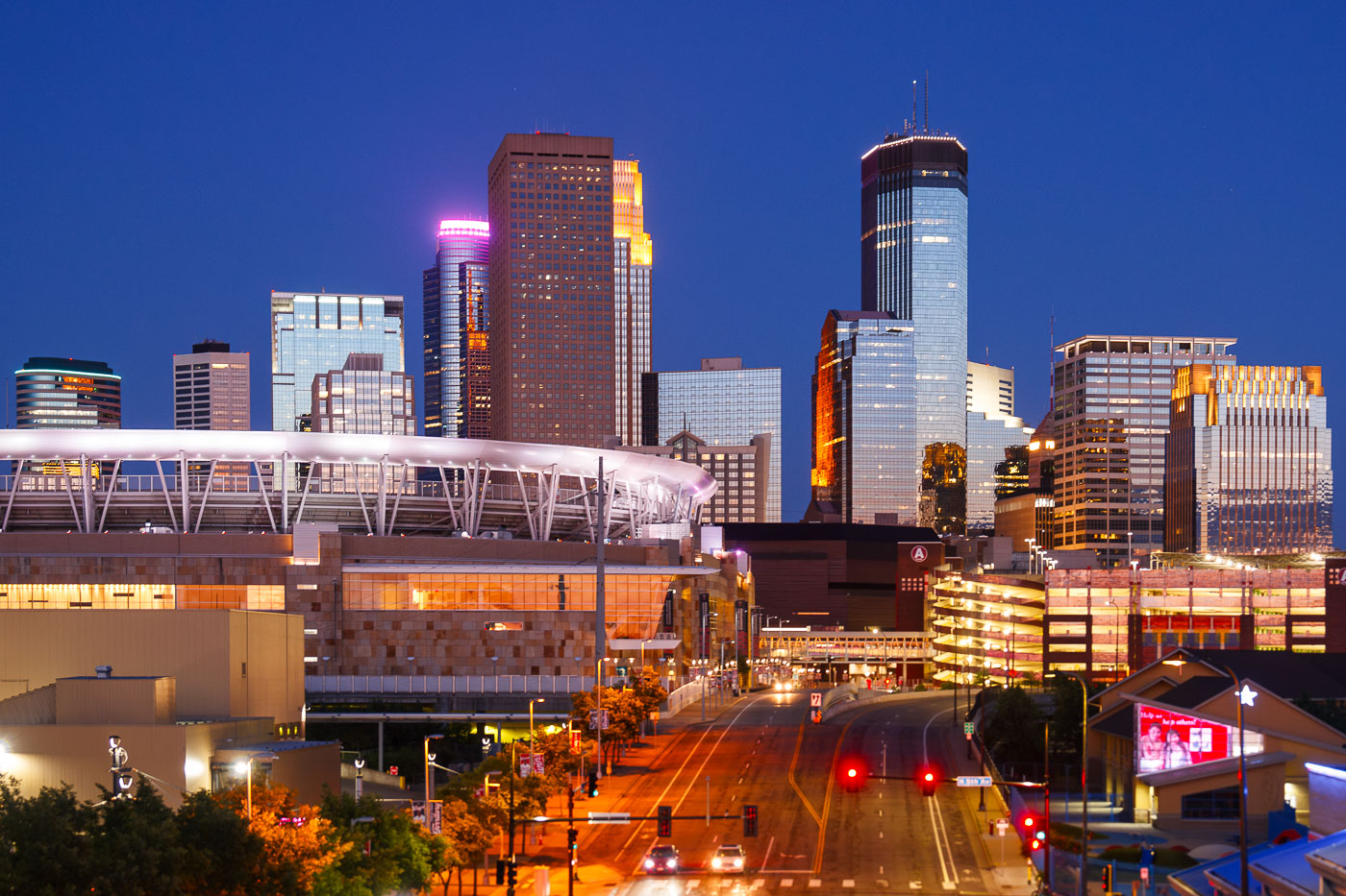
The Minneapolis skyline is illuminated at dusk, with Target Field, home of the Minnesota Twins, prominently visible in the foreground. The stadium, completed in 2010, is a central feature of the North Loop neighborhood.

Downtown Minneapolis Skyline and Stadium at Dusk

Built in Minneapolis

Minneapolis Photographer

Browse by location, move through long-running series, or start with recent work.