Place Archive

Illinois

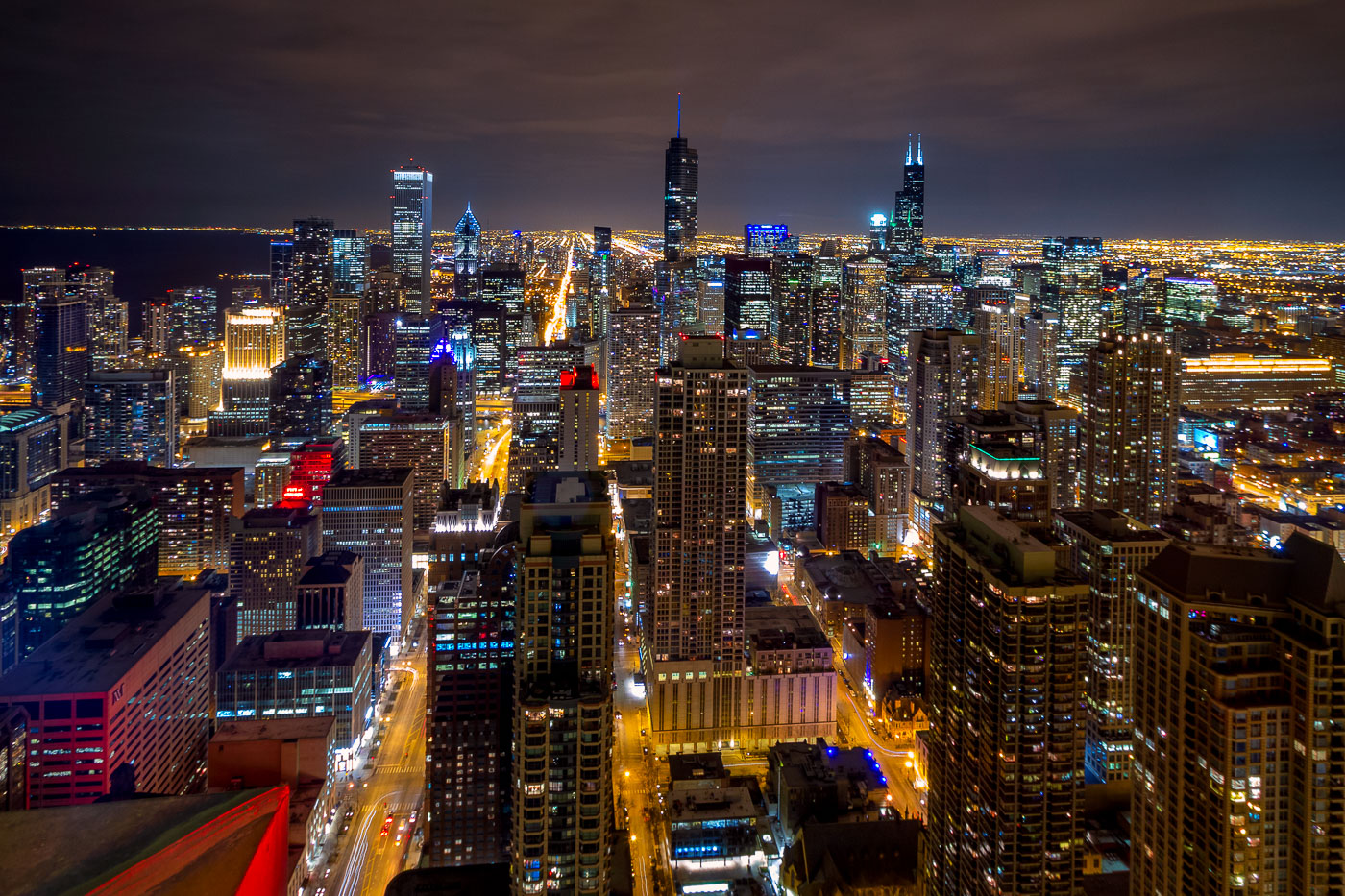
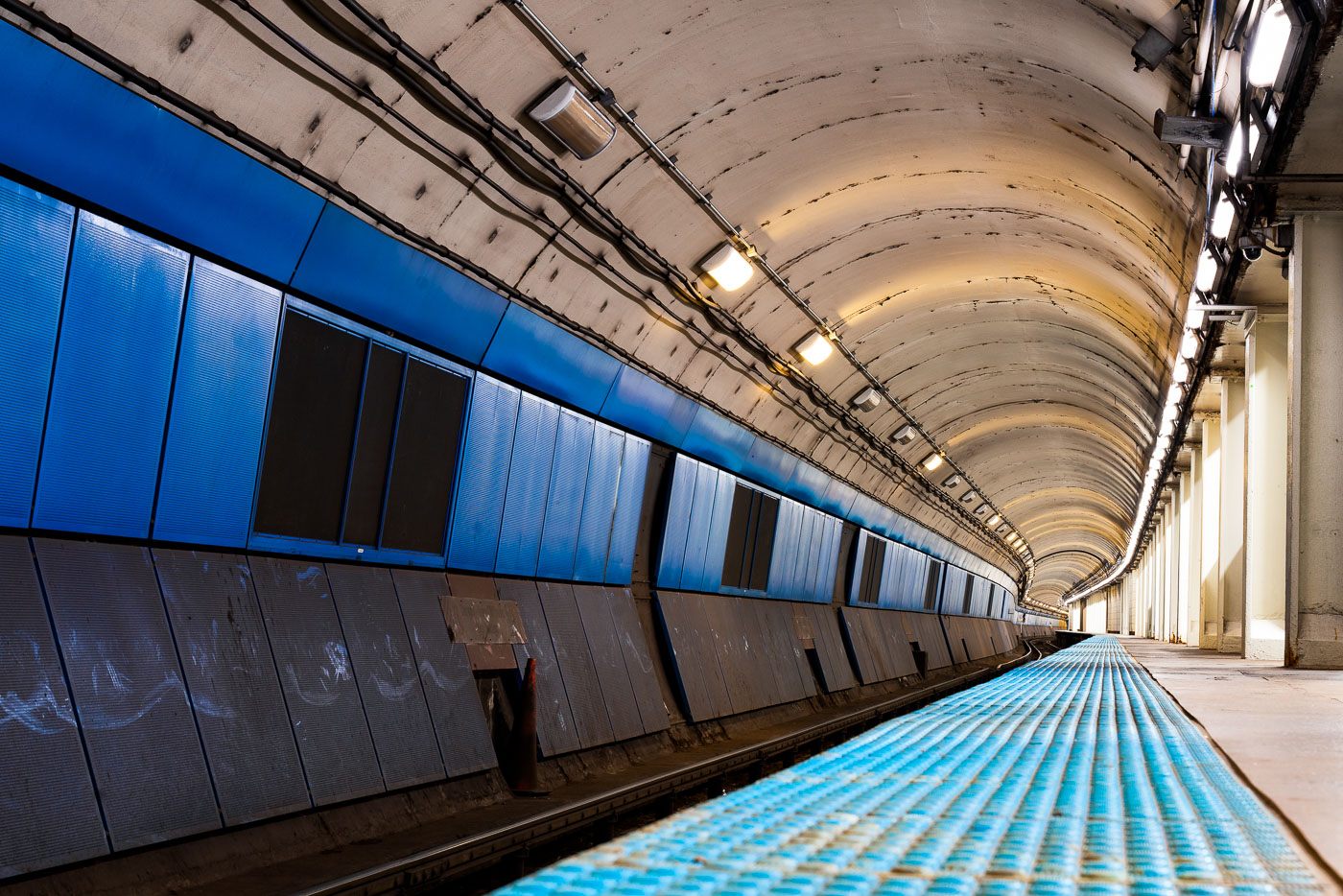
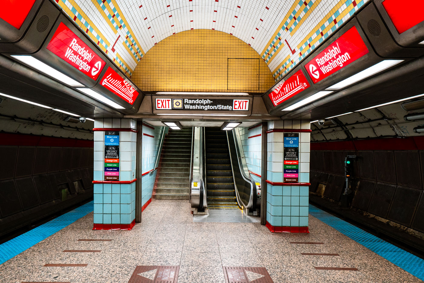
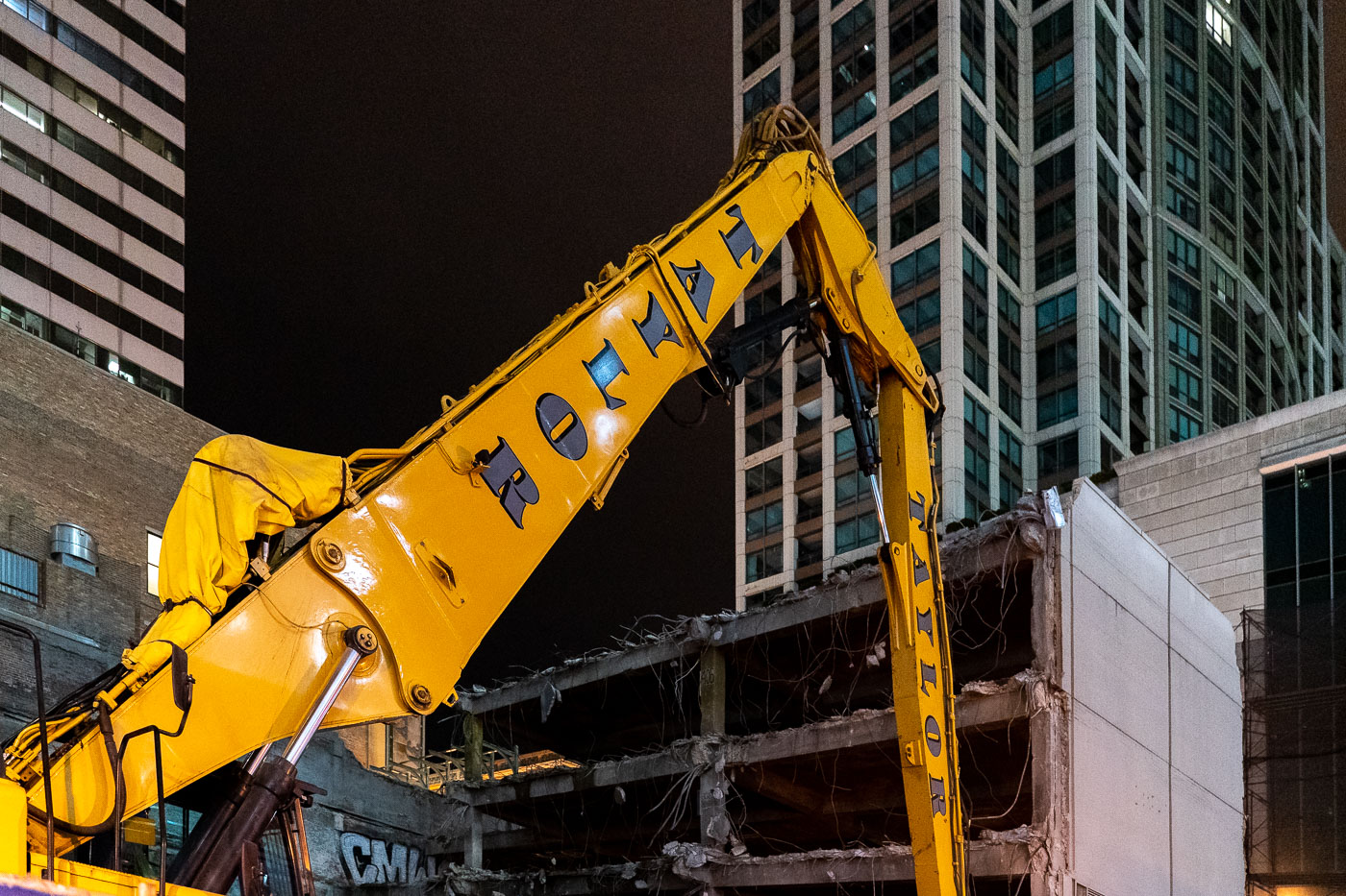
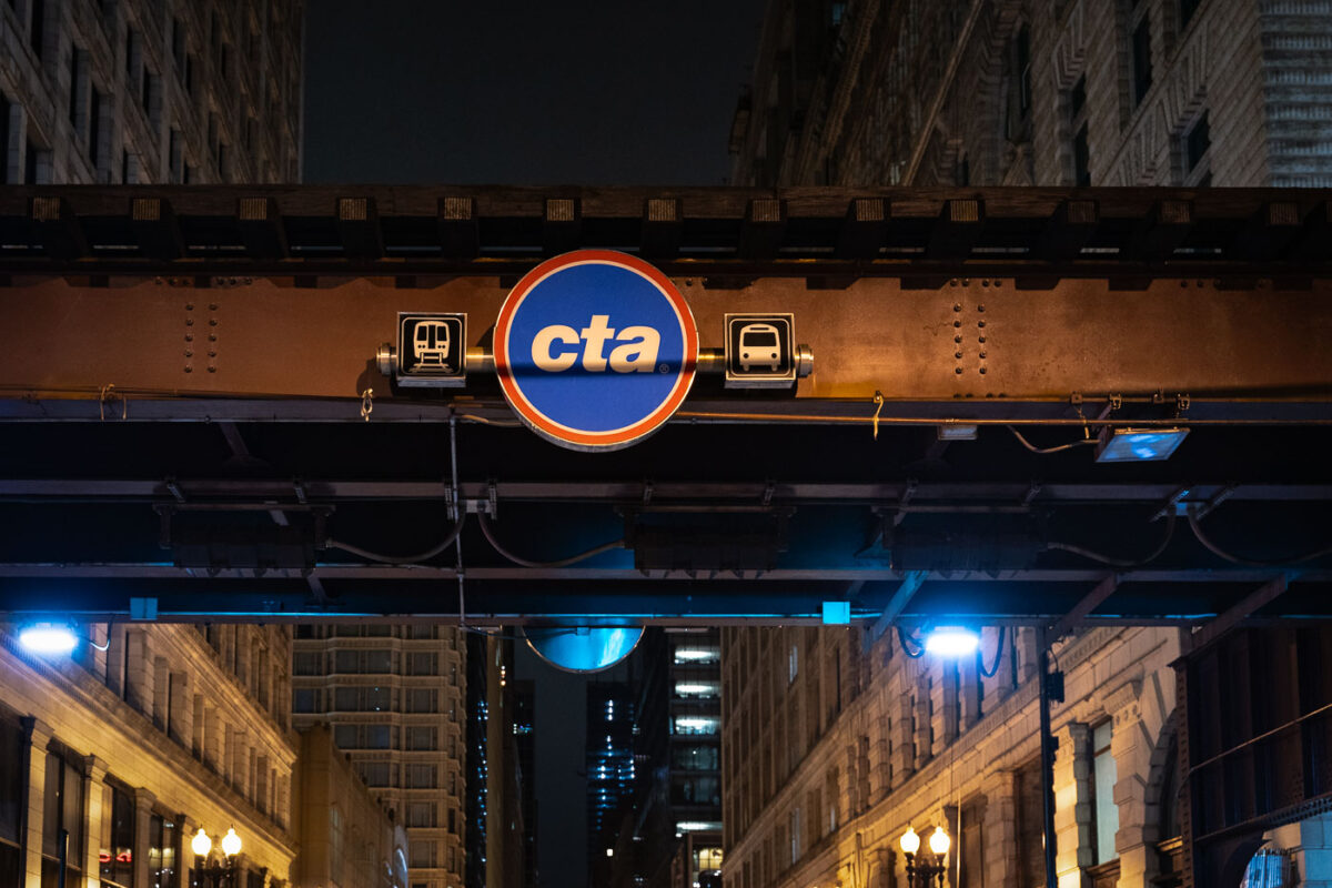
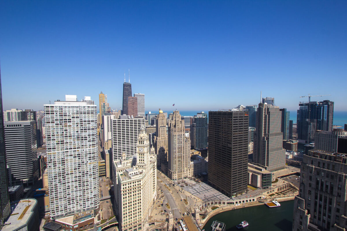
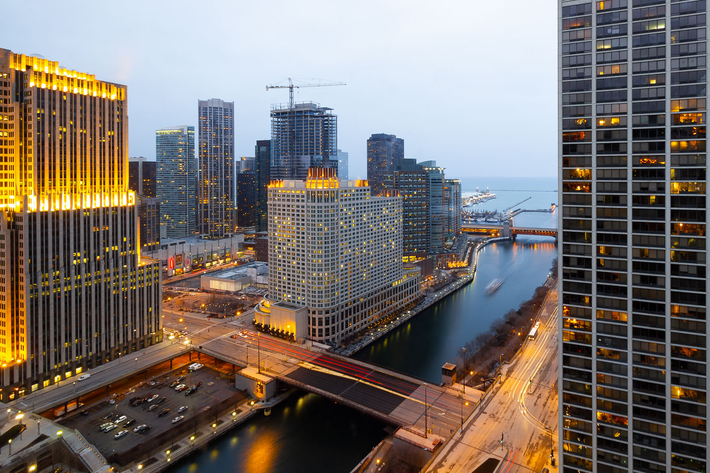
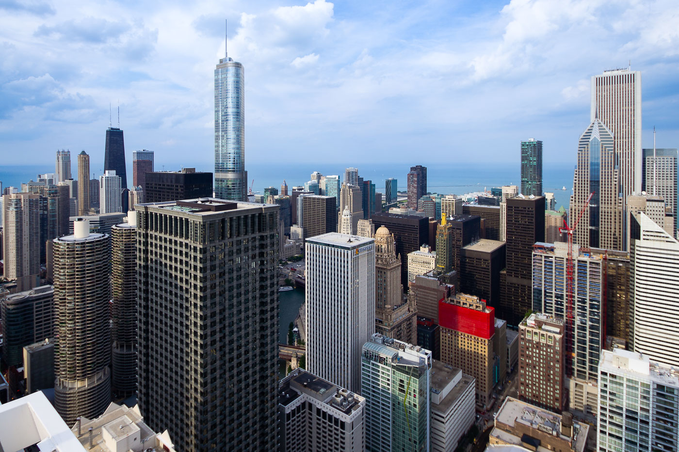
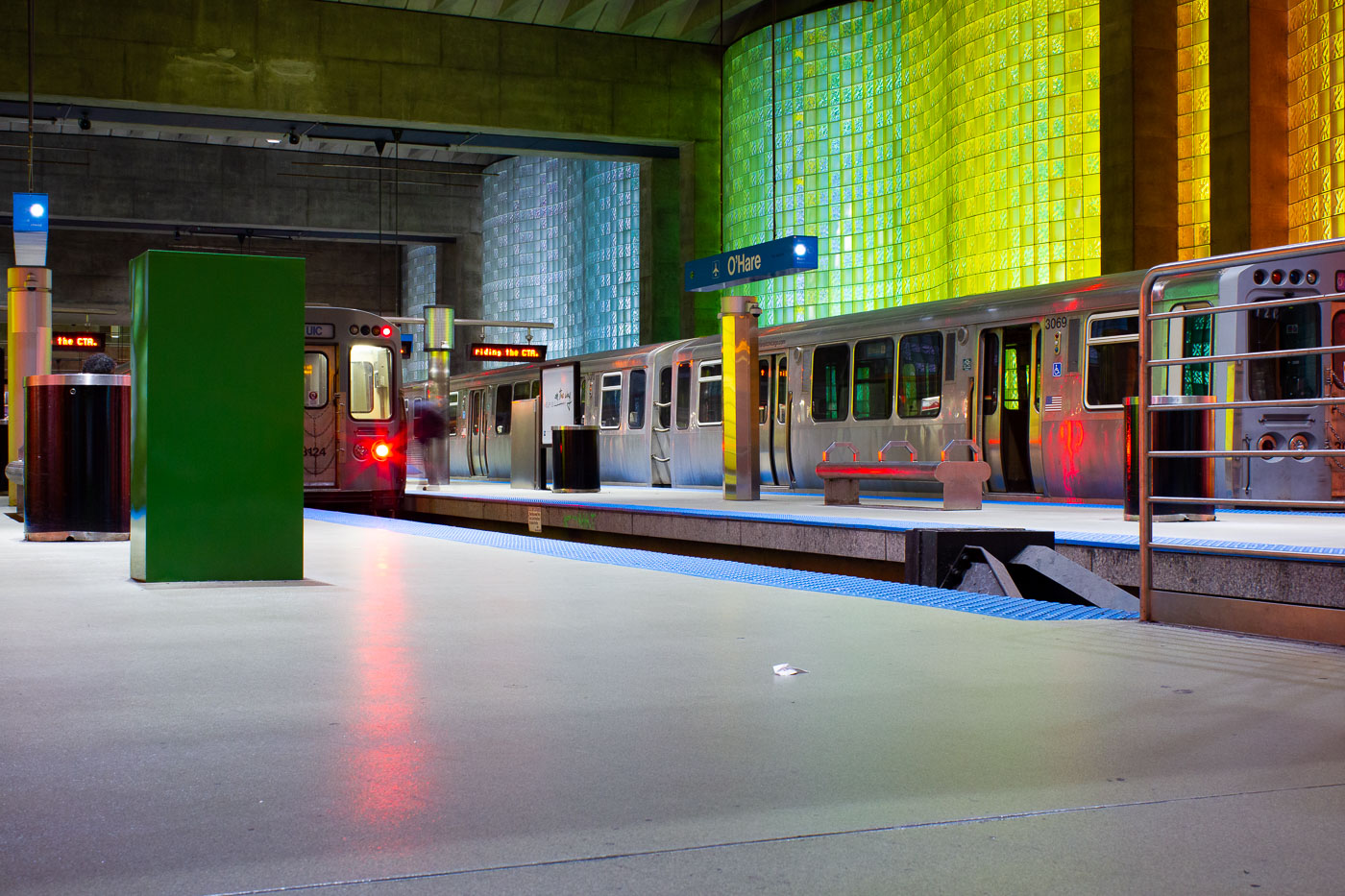
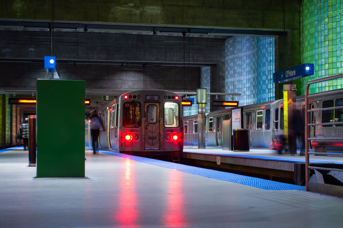
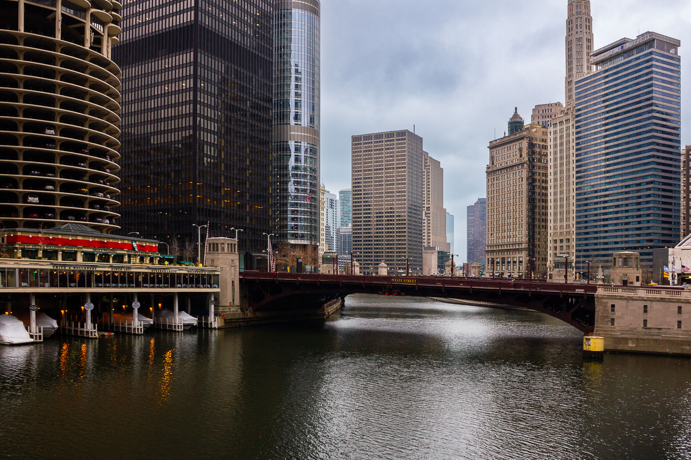
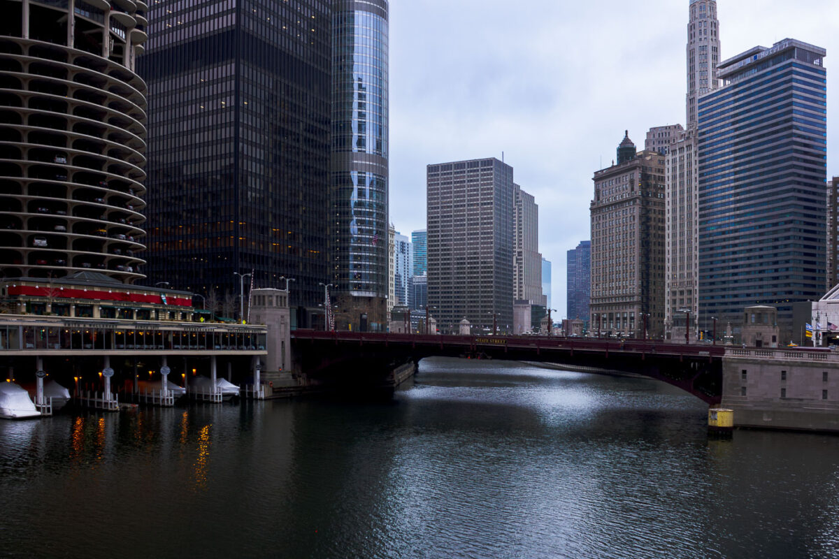
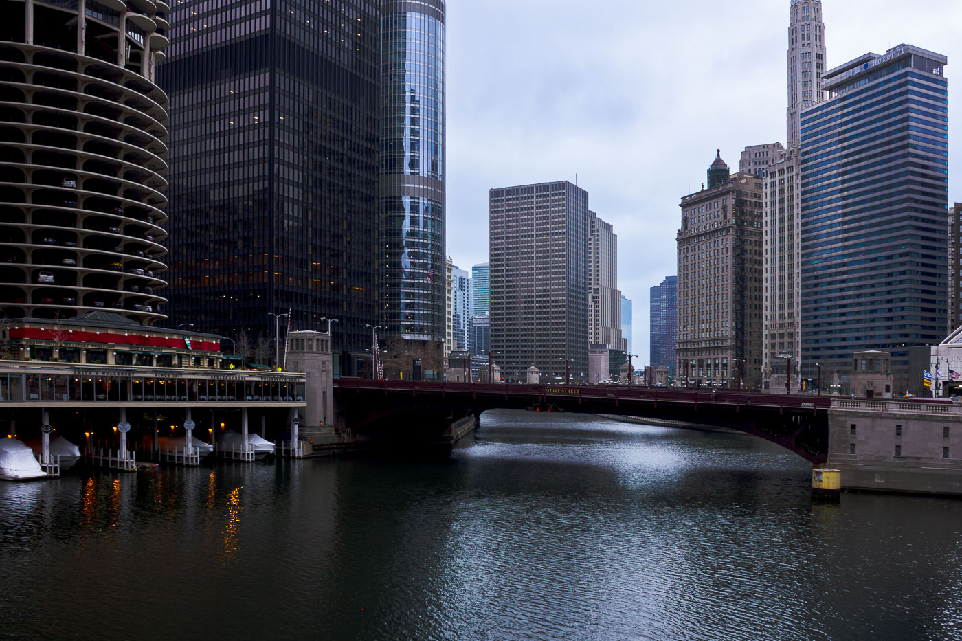
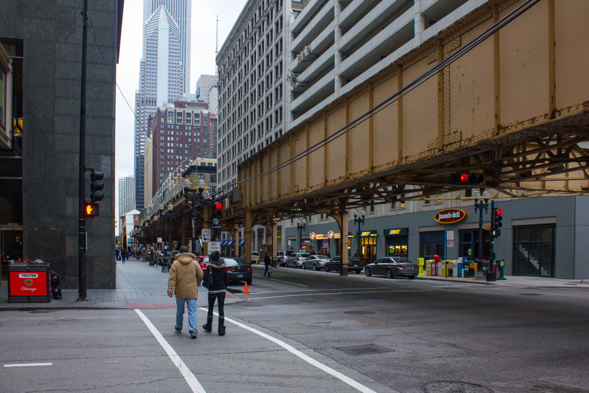
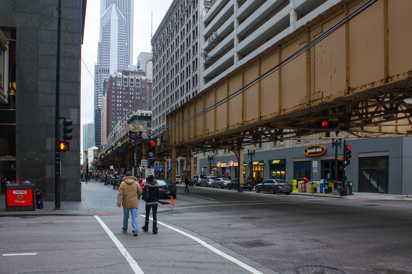
Illinois contains Chicago, a focal point of the state’s transportation and architectural development, including landmarks such as the elevated ‘L’ train tracks at Lake and Dearborn and the State Street Bridge over the Chicago River. The city’s infrastructure interweaves historic bascule bridges, the O’Hare Blue Line station connecting air travel to urban transit, and pioneering mixed-use towers like Marina City, reflecting ongoing urban growth and engineering innovation.

1 cities 1 photo set 25 photos

City

Photos from Illinois

Ronny’s Original Steak House Chicago Loop
Ronny’s Original Steak House, a longtime fixture of Chicago’s Loop dining scene, glows under its vintage neon sign at night. Founded in 1963, the cafeteria-style steakhouse has served generations of downtown workers, theatergoers, and travelers from its no-frills location near the CTA Red Line and City Hall. Its tufted green booths, mirrored walls, and steady stream of regulars evoke an earlier era of affordable downtown dining—one of the few survivors of mid-century Loop eateries that once defined the city’s commercial core.
Blue Line Subway Tunnel Chicago
The Milwaukee–Dearborn subway, part of Chicago's 'L' system, opened in 1951 and serves as a vital transit corridor. This platform within the Blue Line subway showcases the utilitarian design characteristic of mid-century rapid transit infrastructure, with its curved ceiling and blue tiled panels. The tunnel connects O'Hare International Airport to downtown Chicago, facilitating daily commutes for thousands. Despite its age, this subterranean artery remains a crucial component of the city's public transportation network.
Randolph Washington Station Chicago Pedway Hub
The Randolph/Washington station, a key hub for the CTA Red Line, is situated beneath downtown Chicago and serves as a vital connection to the city's extensive Pedway system. Opened in 1943 as part of a significant subway expansion, the station's original Art Moderne design, characterized by its tiled vault and distinctive signage, remains largely preserved. This underground transit nexus facilitates access to numerous offices, retail centers, and civic buildings, underscoring its historical importance in Chicago's urban development and public transportation network.
Royal Taylor Excavator Demolition
A Royal Taylor demolition excavator works overnight in downtown Chicago, dismantling a mid-century parking structure near North Wabash Avenue. This structure's demolition is part of a larger redevelopment effort in a district historically characterized by low-rise commercial and industrial buildings. The ongoing transformation of this area with modern high-rise towers and mixed-use developments is reshaping the central Chicago streetscape.
Chicago L Structure and CTA Sign in the Loop
The Chicago Transit Authority (CTA) logo is displayed beneath the elevated "L" tracks that traverse the Loop, Chicago's central business district. Constructed in the late 19th century, the "L" system is a defining feature of the city's urban landscape and a testament to early public transit engineering. The steel structure, with its original girders and riveted beams, carries trains above streets lined with historic architecture. The CTA continues to operate one of the nation's largest and oldest public transit networks, serving over a million riders daily.
Jewelers Center Neon Sign on Wabash Avenue Chicago
The illuminated marquee of the Jewelers Center glows along South Wabash Avenue in Chicago’s historic Jewelers Row District. Located at 5 S Wabash, this 1920s-era Art Deco building is home to more than 180 independent jewelers and gem traders, many specializing in custom design and repair. The tower, part of the landmark Mallers Building, stands within the Loop’s long tradition of craftsmanship and trade that dates back to the city’s early commercial boom. At night, the neon-lit sign continues to evoke Chicago’s mid-century downtown energy, linking the modern financial core with its industrial and artisanal past.
Archer Daniels Midland Headquarters Chicago
The Archer Daniels Midland (ADM) headquarters in downtown Chicago, Illinois, represents the global reach of one of the world’s largest agricultural and food processing corporations. Founded in 1902, ADM moved its main offices to Chicago in 2014 after more than a century in Decatur, Illinois. The company plays a major role in grain trading, oilseed processing, and biofuels, influencing commodity markets and global food supply chains. Its Chicago location, near the Chicago River and the city’s historic financial district, reflects the enduring link between Midwest agriculture and the global commodities trade that has long defined Chicago’s economic identity.
Downtown Chicago Buildings August 2015
A view of Chicago's downtown buildings in August 2015 showcases a mix of architectural styles and eras. The cluster of structures includes both historic masonry buildings and modern glass-and-steel towers, reflecting the city's continuous development. These buildings serve as offices, residences, and commercial spaces, contributing to the vibrant economic and social fabric of the Loop, Chicago's central business district. The photograph captures the dense urban environment that has made Chicago a significant center for commerce and culture in the Midwest.
Aerial view of Chicago's Loop district, showing the Palmer House hotel and surrounding buildings, including a rooftop patio.
An aerial perspective looks down on the historic Palmer House hotel in Chicago, a landmark that has hosted guests since 1871. The image showcases the hotel's distinctive architecture and its integration within the bustling downtown streetscape. Surrounding buildings, including the adjacent structure with a rooftop patio, illustrate the dense urban fabric of the Loop district. This view highlights the continuous development and activity that characterize Chicago's central business area.
Chicago skyline featuring modern glass skyscrapers and historic brick buildings, including the Trump International Hotel & Tower.
Chicago's downtown architecture showcases a blend of historical and contemporary design. The city, a birthplace of the skyscraper, continues to push architectural boundaries. Prominent structures like the Trump International Hotel & Tower and the historic Wrigley Building are visible, representing different eras of the city's development. This area serves as a major commercial and cultural hub, with buildings housing offices, residences, and retail spaces.
Lake Michigan in Chicago 2014
The Chicago skyline rises above the shores of Lake Michigan, a vast freshwater lake that forms the city's eastern boundary. This shoreline is a vital part of Chicago's identity, providing public access to the water and a scenic backdrop to the city's renowned architecture. The development of the lakefront, including parks and beaches, began in the late 19th century and has continued to shape the urban environment. Today, the lakefront serves as a major destination for recreation and offers panoramic views of the city's commercial and residential centers.
Chicago River and downtown Chicago
The Chicago River, a vital artery for the city, flows through the heart of Downtown Chicago, bordered by a dense collection of skyscrapers. This waterway was famously reversed in 1900, a monumental feat of engineering that diverted sewage away from Lake Michigan, Chicago's primary source of drinking water. Today, the river and its surrounding architecture are a testament to the city's growth and its ongoing role as a center for commerce and culture.
Loews Hotel in Chicago under construction
The Chicago River and Wacker Drive are shown with the Loews Hotel under construction in this view of downtown Chicago. Wacker Drive, a major artery, was conceived in the 1920s as a two-level roadway to improve traffic flow and access to the riverfront. The Chicago River, a vital waterway for commerce and transportation, has been engineered and rerouted over time to support the city's growth. The construction of the Loews Hotel signifies ongoing development in the city's central business district.
Downtown Chicago buildings illuminated at night in 2014, showcasing the city's dense urban environment and architectural scale.
This photograph showcases the dense urban environment of downtown Chicago at night in 2014. The city's architecture is illuminated, highlighting the scale and verticality of its buildings, which house a mix of commercial, residential, and hospitality functions. Chicago has a rich architectural history, with many of its skyscrapers representing significant advancements in engineering and design. The city's downtown area continues to be a vital economic and cultural hub, with its buildings serving as centers for business, living, and entertainment.
Chicago Architecture and Lake Michigan
This aerial view showcases Chicago's downtown architecture, featuring 301 South Wacker Drive, completed in 1989, with its distinctive green pyramidal roof and postmodern design. To its right stand the Marina City towers, designed by Bertrand Goldberg and finished in 1967, which were pioneering mixed-use residential structures aimed at revitalizing the urban core. In the distance, the John Hancock Center, completed in 1969, exemplifies Chicago's innovative engineering with its bundled-tube construction, a system that enabled greater height and wind resistance. The surrounding development, including high-rises along the Lake Michigan shoreline, reflects the city's continuous growth and architectural experimentation.
35 West Wacker in Chicago
35 West Wacker Drive is a skyscraper located in downtown Chicago. Completed in 1989, the building stands at 66 stories and features a distinctive glass facade. It was designed by the architectural firm Kohn Pedersen Fox Associates. The building is situated along the Chicago River, contributing to the city's prominent riverfront architecture. It primarily houses office spaces and is a significant component of Chicago's central business district.
Chicago O'Hare International Airport Terminals 2 and 3, a major hub for air travel in Illinois.
Terminals 2 and 3 at Chicago O'Hare International Airport are key components of one of the world's busiest air travel hubs. Opened in stages starting in the 1960s, O'Hare has undergone numerous expansions and modernizations to accommodate increasing passenger traffic and evolving aviation technology. These terminals serve a significant portion of the airport's domestic and international flights, facilitating millions of journeys annually. The airport's strategic location and extensive infrastructure have made it a vital center for commerce and connectivity in the Midwest.
CTA trains at O'Hare International Airport Station, Chicago, the western terminus of the Blue Line, providing direct rail access to the airport.
CTA Trains at O'Hare International Airport Station, Chicago. The O'Hare station, opened in 1984, serves as the western terminus of the Chicago 'L' Blue Line. It provides direct rail access to O'Hare International Airport, one of the busiest airports in the world. The station's distinctive architecture features a curved wall clad in colorful glass blocks, designed by architect Kisho Kurokawa. This station is a vital transportation hub, connecting travelers and commuters to the airport and the wider Chicago metropolitan area.
A CTA Blue Line train arrives at the O'Hare station platform in Chicago, a transit hub connecting the city to O'Hare International Airport.
The O'Hare CTA Station platform in Chicago serves as a vital transit hub connecting the city to O'Hare International Airport. Opened in 1984, this underground station is part of the CTA's Blue Line and was designed to facilitate efficient passenger flow between the airport terminals and downtown Chicago. The station's architecture features distinctive curved walls clad in glass blocks, creating a visually striking environment for commuters and travelers.
The State Street Bridge crosses the Chicago River, with the Marina City towers visible to the west in downtown Chicago.
The State Street Bridge spans the Chicago River in downtown Chicago, connecting the Loop to the Near North Side. Completed in 1949, this bascule bridge replaced an earlier structure and is a vital artery for vehicular and pedestrian traffic. To the west, the distinctive Marina City towers, designed by Bertrand Goldberg and completed in 1964, rise above the riverfront. These mixed-use buildings, with their unique cylindrical design, were a pioneering development in urban living and remain a prominent feature of the Chicago skyline.
The State Street Bridge, completed in 1919, spans the Chicago River, connecting the city's north and south sides. The bascule bridge is a vital part of Chicago's transportation network.
The State Street Bridge, completed in 1919, spans the Chicago River, connecting the city's north and south sides. This bascule bridge is a vital piece of Chicago's transportation network, facilitating vehicular and pedestrian traffic over the busy waterway. The surrounding architecture reflects the city's growth, with the distinctive Marina City towers visible to the west and other prominent skyscrapers lining the riverfront. The bridge's design and its role in urban connectivity highlight Chicago's history as a major transportation hub.
Chicago's elevated train tracks at Lake and Dearborn in December 2012, a key part of the city's historic 'L' system, facilitating downtown transportation.
The elevated train tracks at Lake Street and Dearborn in downtown Chicago, photographed in December 2012, are a vital part of the city's 'L' system. Constructed in the late 19th and early 20th centuries, these tracks represent a significant development in urban transportation, allowing for efficient movement of people through the dense city center. The structure itself, with its steel supports and elevated platform, is a characteristic feature of Chicago's Loop district. Today, these lines continue to serve thousands of commuters daily, connecting various neighborhoods and contributing to the city's ongoing vitality.
A "Guard on Duty 24-Hour Video Security" and "Warning Guard Dogs on Premises" sign is affixed to a chain-link fence at the former Brach's Candy Factory site in Chicago.
A "Guard on Duty 24-Hour Video Security" and "Warning Guard Dogs on Premises" sign is affixed to a chain-link fence at the former Brach's Candy Factory site in Chicago. The factory, once a major employer and landmark, was closed in 2003 and subsequently demolished. The site is now a parking lot, but security measures like this sign indicate ongoing efforts to protect the property. The presence of such warnings speaks to the transition of industrial sites into new uses, often requiring different forms of security.
The former Brach's Candy Factory in Cicero, Illinois, a large brick industrial complex, stands partially demolished, with a truck parking lot visible in the foreground.
The former Brach's Candy Factory in Cicero, Illinois, once a sprawling complex that produced confections for decades, has been demolished. The site, which was a significant employer in the area, has since been replaced by a truck parking lot. The factory's large brick structure, visible in the background, stands as a remnant of its industrial past before its eventual demolition.

Built in Minneapolis

Photographs made over time, focused on place, public life, and ongoing reporting.

Browse by location, move through long-running series, or start with recent work.

© 1996–2026 Chad Davis