Place Archive

Chicago

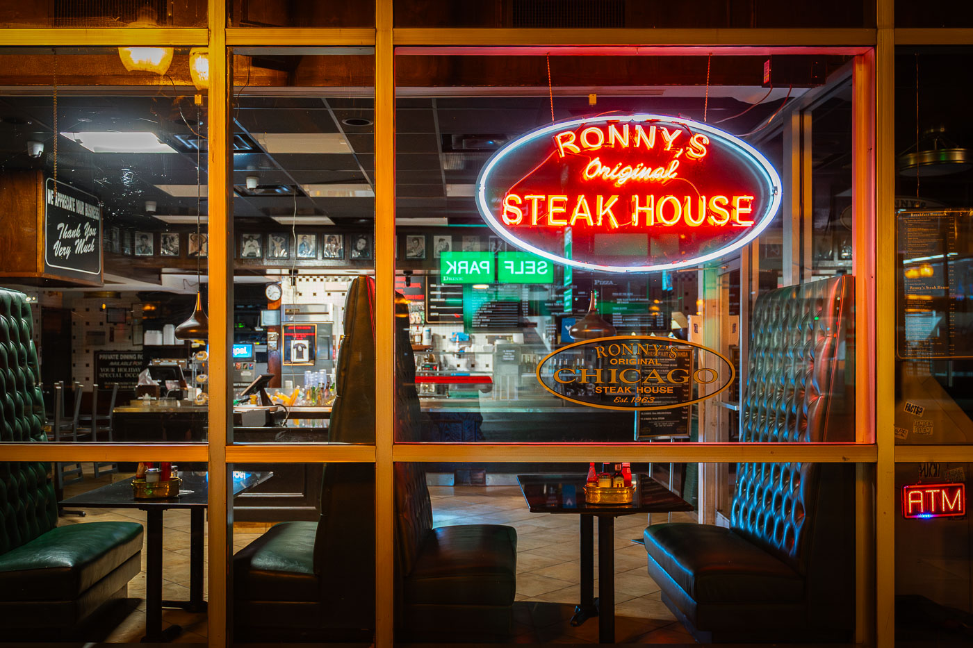
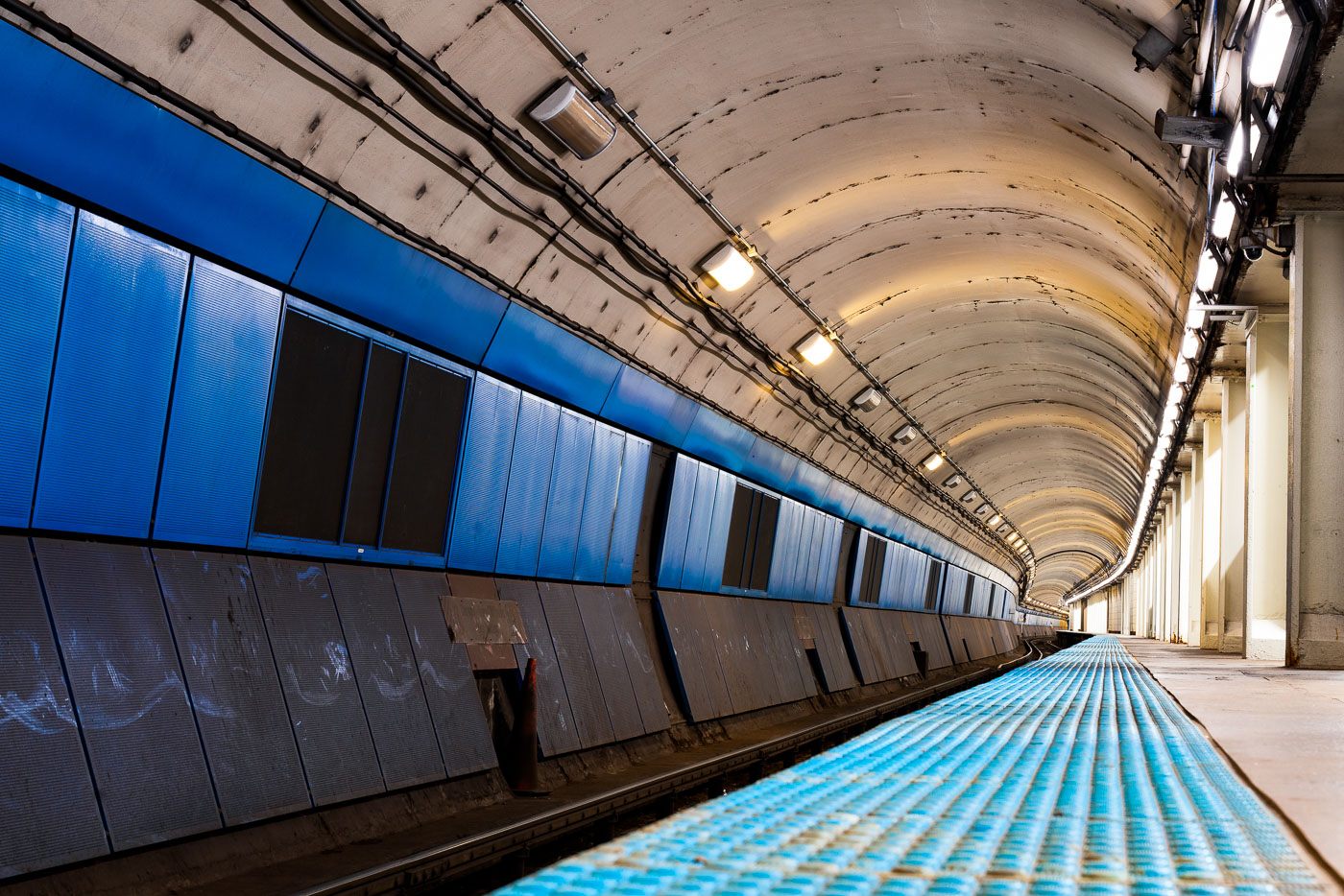
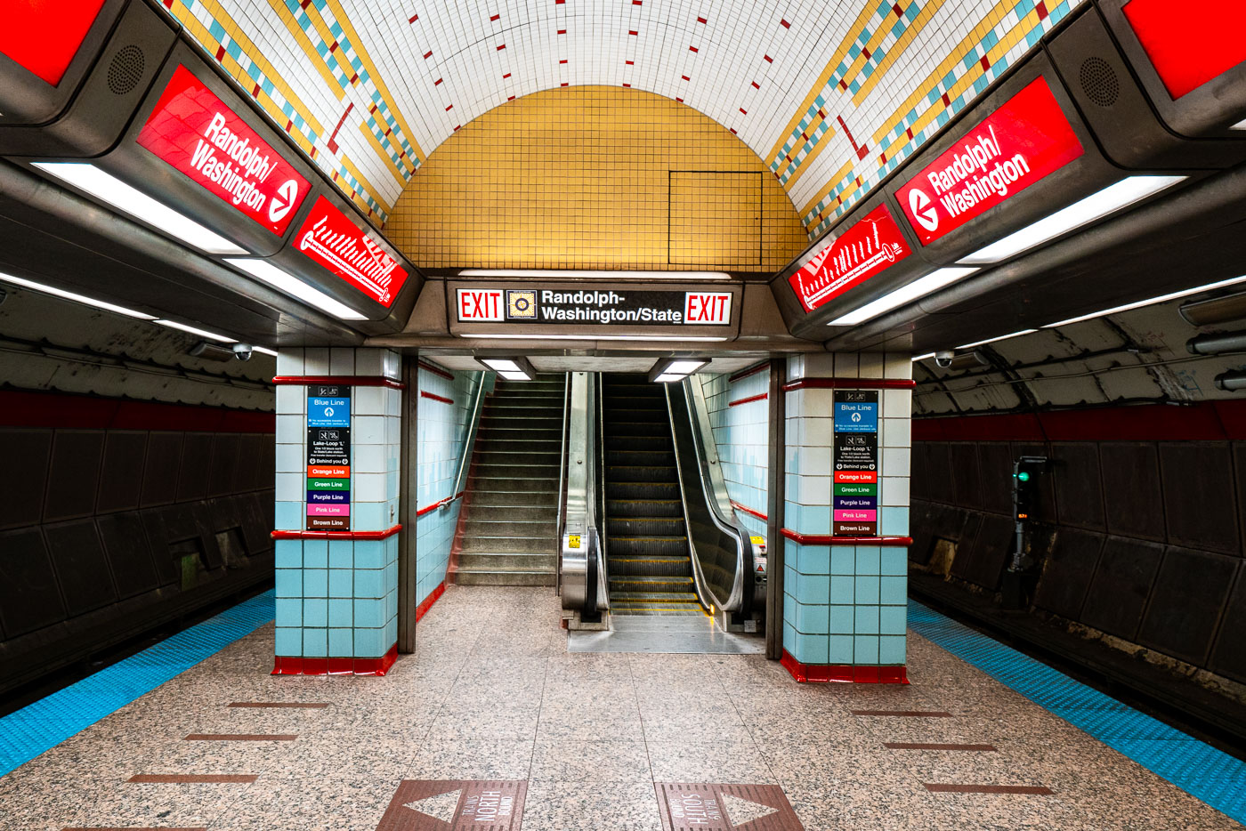
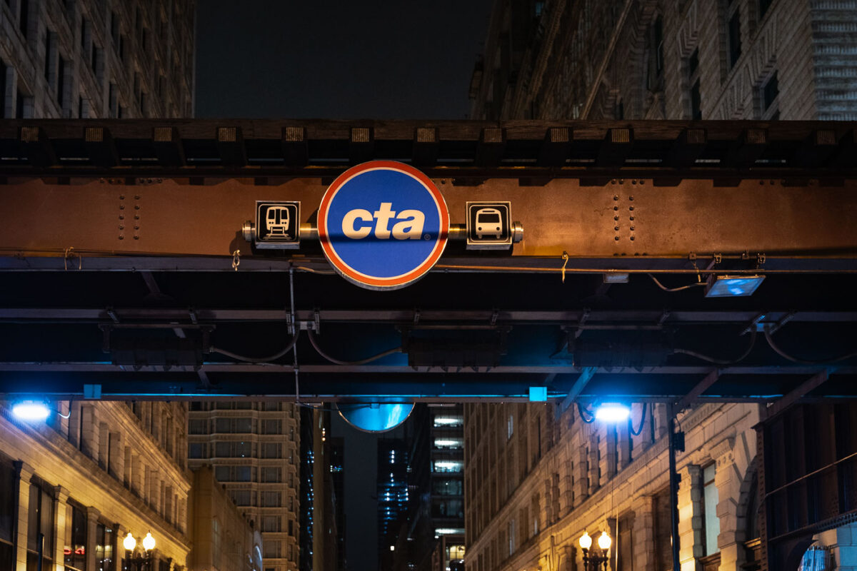
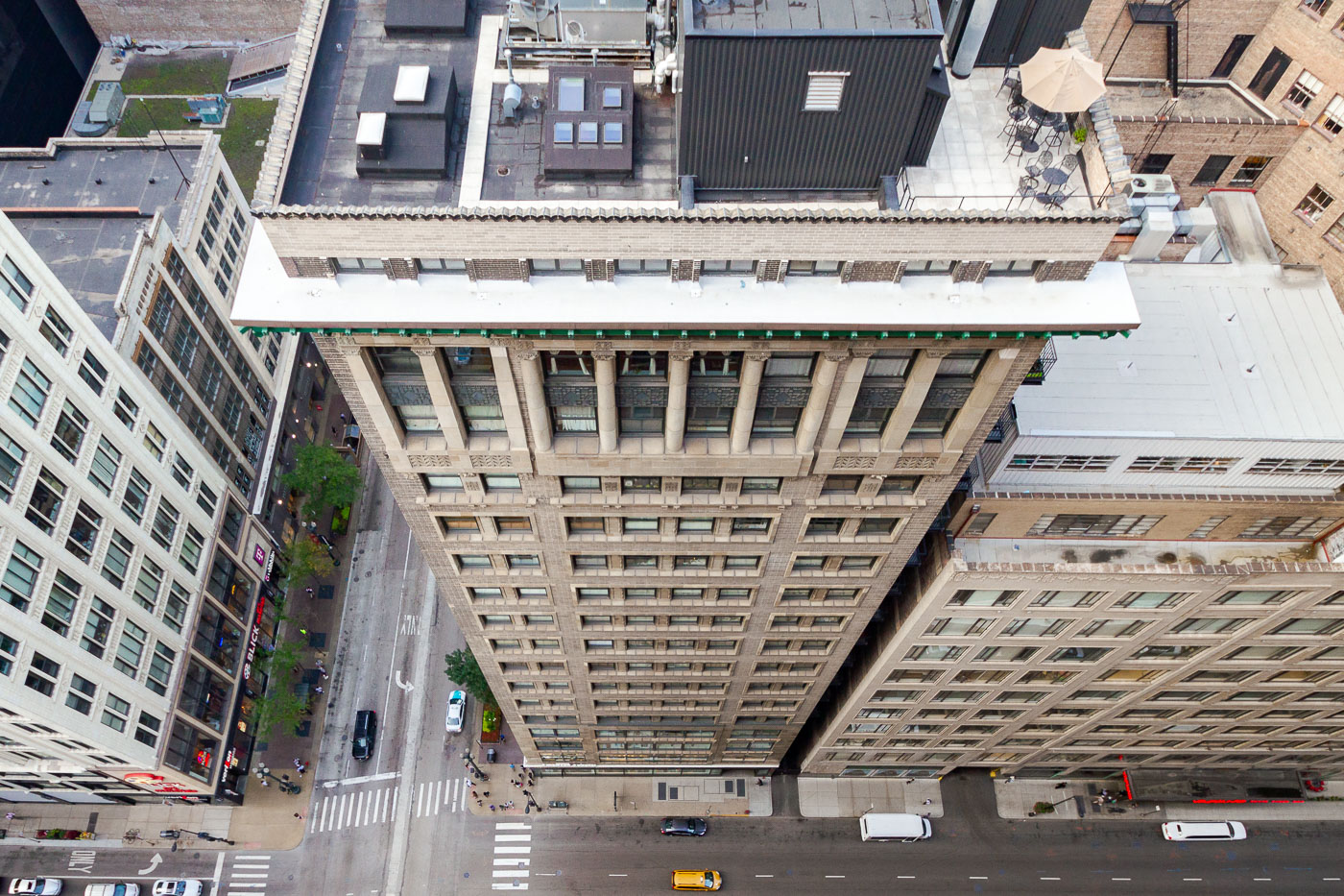
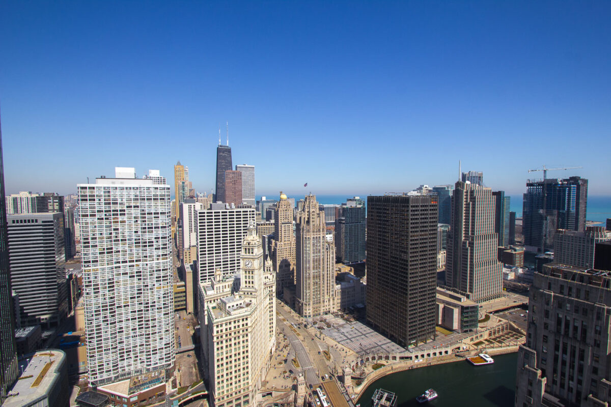
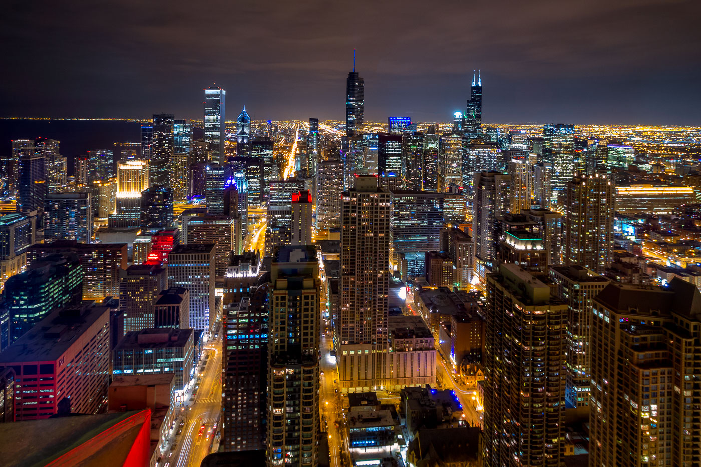
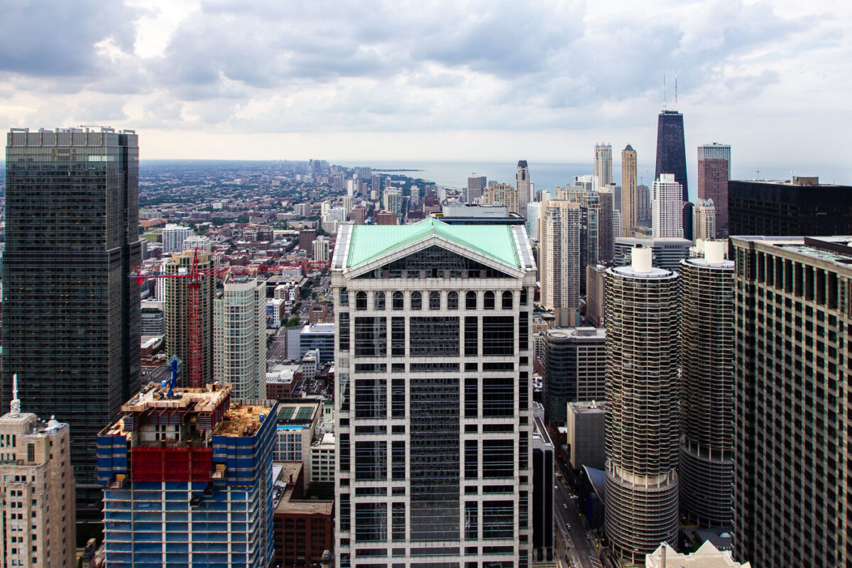
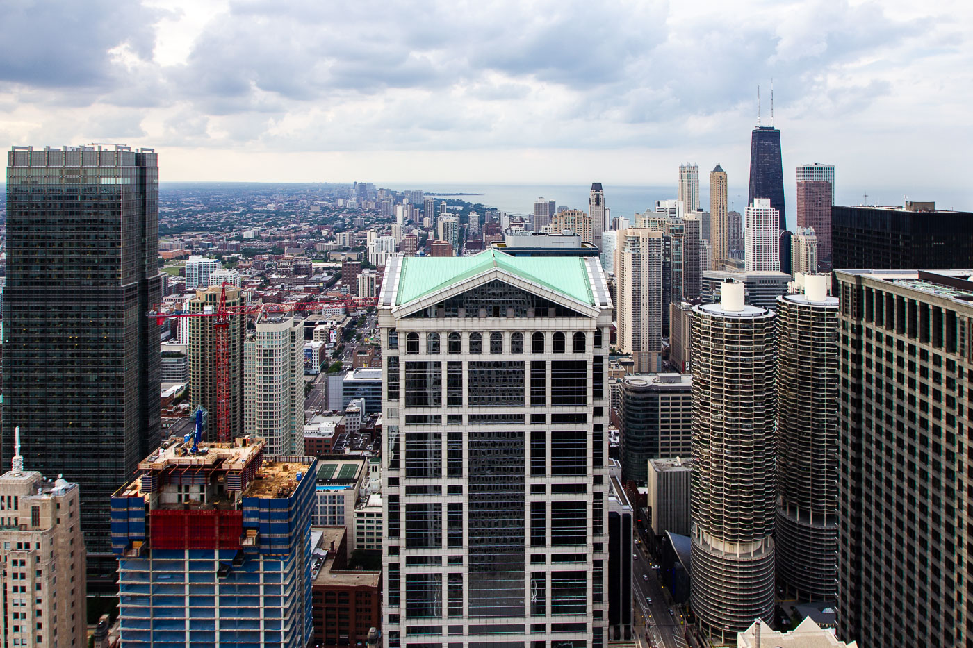
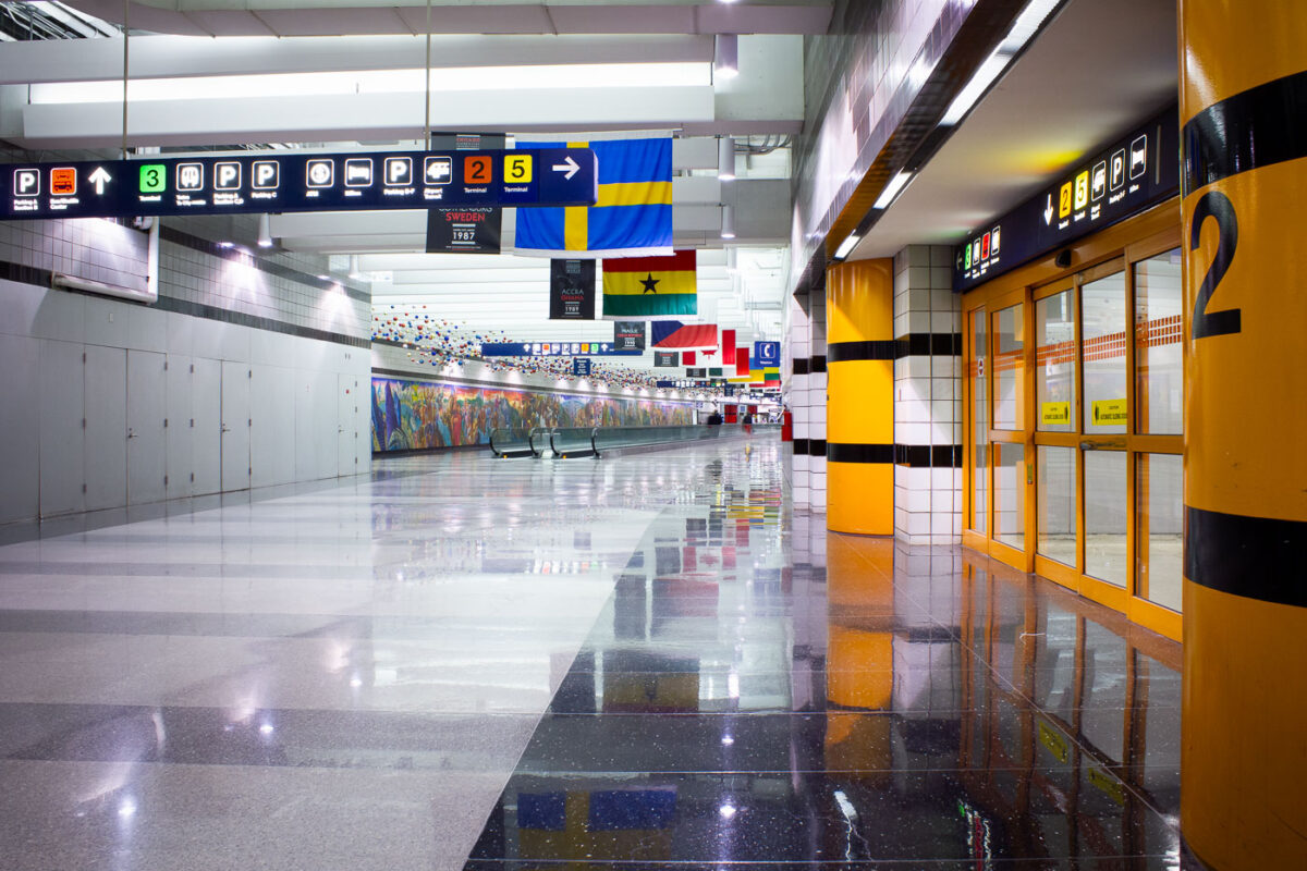
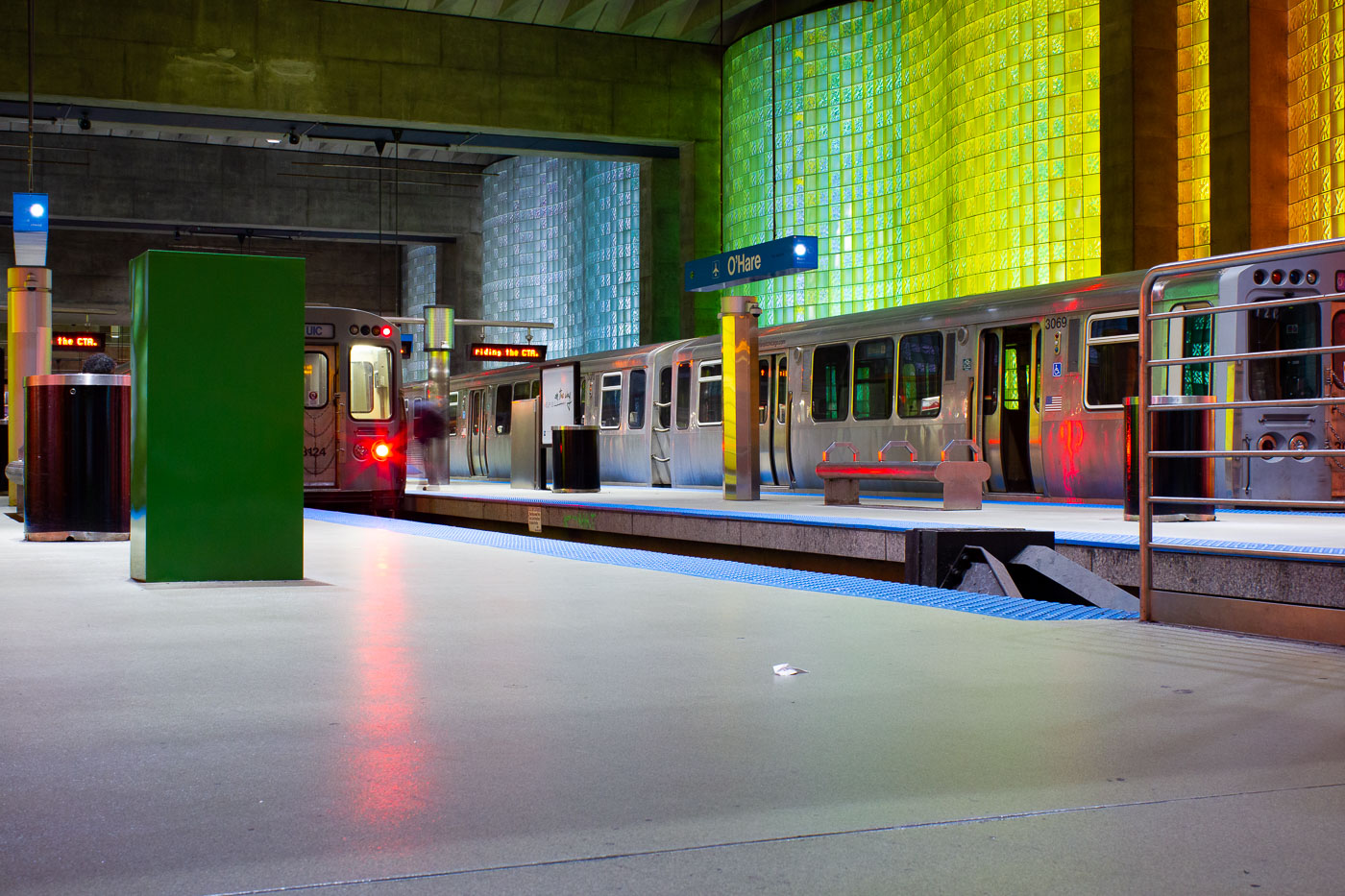
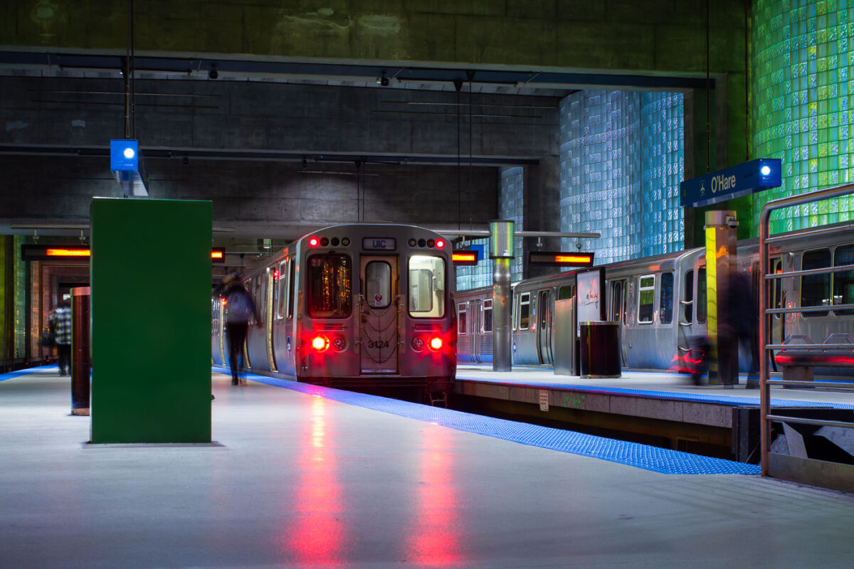
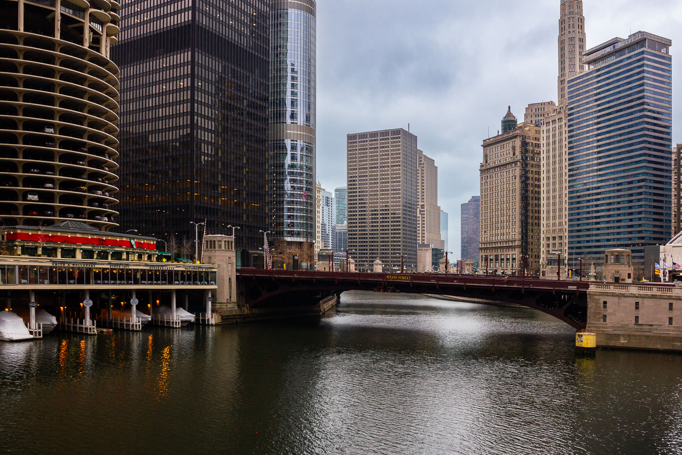
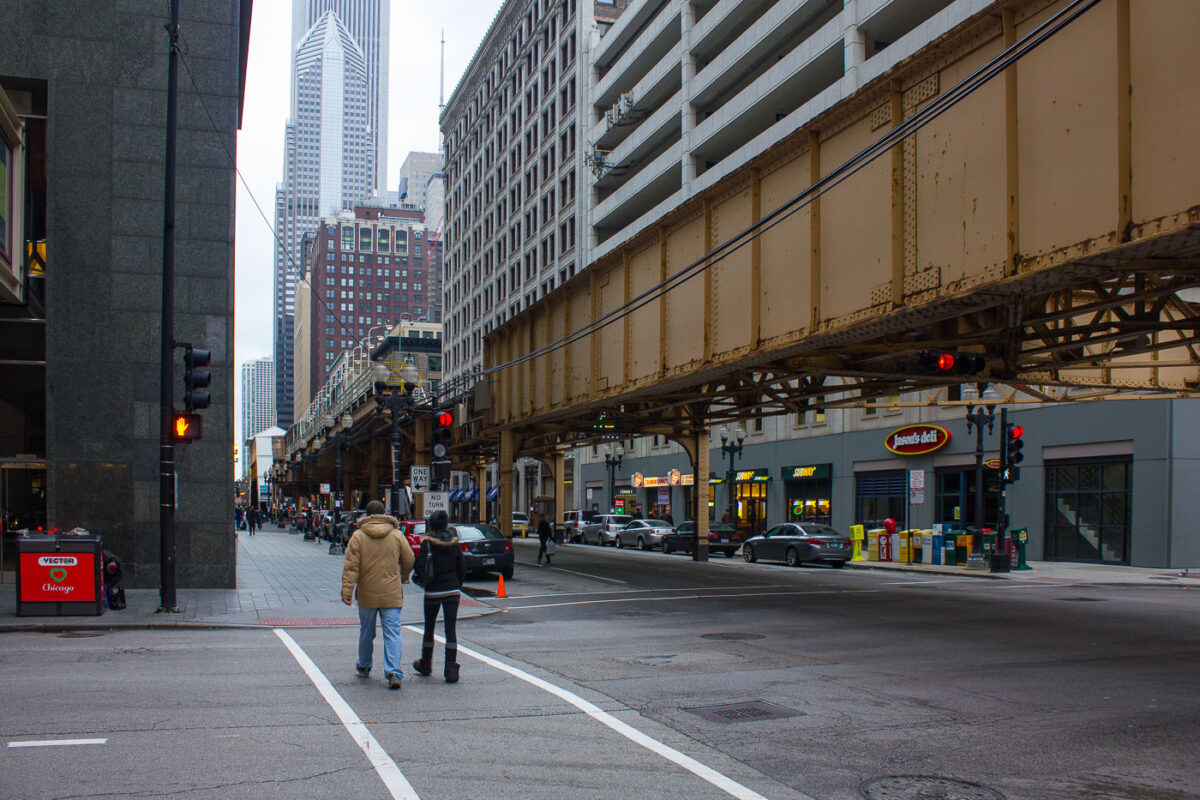
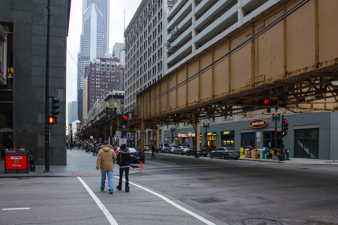
Chicago’s transportation infrastructure includes distinctive structures such as the elevated ‘L’ train tracks at Lake and Dearborn and the State Street Bridge spanning the Chicago River. Architectural landmarks like the Marina City towers and office skyscrapers at 35 West Wacker and 301 South Wacker Drive punctuate the cityscape alongside key transit hubs including the O’Hare CTA Station connecting to the international airport.

21 photos

Map

Photo Map

Markers

Chicago Photo Locations

20 geotagged photos

Photos

Ronny’s Original Steak House neon sign and booths inside the Chicago Loop restaurant.
Ronny’s Original Steak House in Chicago’s Loop is a cafeteria-style steakhouse established in 1963. The restaurant operated as an affordable, quick-service dining spot for downtown workers, theatergoers, and travelers. Its neon window sign and booth seating are part of the restaurant’s mid-century Loop dining character.
CTA Blue Line subway platform inside Chicago's Milwaukee-Dearborn Subway tunnel.
CTA Blue Line subway platform in Chicago is part of the Milwaukee-Dearborn Subway, the downtown tunnel used by Blue Line trains through the Loop. The subway opened in 1951 and carries trains between O'Hare International Airport, downtown Chicago, and the Forest Park branch. Its arched tunnel and side platform are typical of Chicago's mid-20th-century rapid transit construction.
Randolph-Washington/State exit area in the CTA State Street subway in Chicago’s Loop.
Randolph-Washington/State exit area in the CTA State Street subway in Chicago’s Loop. The subway opened in 1943 and carries Red Line trains beneath State Street through downtown. Station wayfinding directs riders to Randolph and Washington streets and to transfers within the downtown CTA network.
Royal Taylor excavator demolishes a downtown Chicago parking garage near North Wabash Avenue.
A Royal Taylor excavator demolishes a multilevel parking garage in downtown Chicago near North Wabash Avenue. The overnight work on October 20, 2019, used a long-reach demolition machine to remove concrete deck sections. The garage stood among high-rise office and residential buildings in the central business district.
CTA sign beneath elevated “L” tracks in the Chicago Loop at night.
A CTA sign beneath elevated "L" tracks marks transit service in the Chicago Loop. The elevated rail structure carries multiple Chicago Transit Authority lines through the central business district. Sections of Chicago's elevated rapid transit network date to the 1890s, with ongoing maintenance and upgrades supporting daily service.
Jewelers Center neon sign at 5 South Wabash Avenue in Chicago’s Loop.
The Jewelers Center sign on South Wabash Avenue identifies the Mallers Building at 5 South Wabash in Chicago’s Loop. The building is a central address in Jewelers Row, a downtown district known for jewelry wholesalers, retailers, repair shops, and gem dealers. The center houses independent jewelry businesses offering sales, custom design, and repair services.
ADM headquarters entrance in downtown Chicago with the Archer Daniels Midland logo on a wall sign.
The ADM headquarters entrance in downtown Chicago marks the offices of Archer Daniels Midland Company. ADM moved its global headquarters from Decatur, Illinois, to Chicago in 2014 after more than a century in central Illinois. The company is a major agricultural processor and commodities firm involved in grain trading, oilseed processing, nutrition, and biofuels.
Downtown Chicago high-rises and historic commercial buildings in the Loop.
Downtown Chicago high-rises in and near the Loop, Chicago, include historic masonry commercial buildings and later office and residential towers. The Loop is Chicago’s central business district and contains a dense concentration of workplaces, hotels, residences, and retail space. This August 2015 cityscape records the varied building types that define the downtown core.
Chicago Loop rooftops and streets near the Palmer House hotel.
Rooftops and streets near the Palmer House are in Chicago’s Loop. The Palmer House Hilton occupies a historic hotel site on East Monroe Street first opened by Potter Palmer in 1871 and rebuilt after the Great Chicago Fire. The surrounding blocks contain early twentieth-century commercial buildings used for offices, hotels, retail, and building services in the downtown core.
Trump International Hotel & Tower and The Legacy rise above downtown Chicago rooftops.
Trump International Hotel & Tower and The Legacy at Millennium Park rise above downtown Chicago. The skyline includes high-rise office, hotel, and residential buildings around the Loop and Near North Side. The area contains landmarks from multiple periods of Chicago skyscraper construction, including early twentieth-century towers and later glass high-rises.
Chicago skyline and Lake Michigan shoreline from North Avenue Beach.
The Chicago skyline extends along Lake Michigan from North Avenue Beach on the city’s North Side. The John Hancock Center, now 875 North Michigan Avenue, stands among the high-rises of the Gold Coast and Streeterville. Chicago’s lakefront park and beach system maintains public access along much of the city’s eastern edge.
Wrigley Building and Tribune Tower stand beside the Chicago River in downtown Chicago.
The Wrigley Building and Tribune Tower line Michigan Avenue at the Chicago River in downtown Chicago. The early-20th-century landmarks sit beside later office and residential towers in the Near North Side and Loop river corridor. The Chicago River links these downtown districts and carries bridge, boat, and pedestrian traffic through the center of the city.
Loews Chicago Hotel construction rises near the Chicago River and Wacker Drive in downtown Chicago.
Loews Chicago Hotel construction rises near the Chicago River in the Streeterville area of downtown Chicago. The hotel site is near North Park Drive and East North Water Street, close to the river’s route toward Lake Michigan. Wacker Drive follows the south bank of the river as a two-level downtown roadway designed to separate local access from through traffic.
Downtown Chicago skyline at night with Willis Tower and the John Hancock Center among illuminated high-rises.
Downtown Chicago skyline at night includes Willis Tower and the John Hancock Center among the high-rises of the Loop and Near North Side. The towers are major reference points in Chicago’s central business district and lakefront skyline. The view dates to March 2014, before the John Hancock Center was renamed 875 North Michigan Avenue.
190 South LaSalle, Marina City, and 875 North Michigan Avenue in downtown Chicago.
190 South LaSalle Street in Chicago's Loop stands among downtown high-rises, with Marina City to the right and 875 North Michigan Avenue near the lakefront. The postmodern office tower at 190 South LaSalle was designed by Johnson/Burgee Architects and completed in 1987. Marina City, designed by Bertrand Goldberg and completed in the 1960s, combined apartments, parking, offices, retail, and entertainment in a major mixed-use complex on the Chicago River.
Trump Tower and Marina City stand among downtown Chicago high-rises near the Chicago River.
Trump International Hotel and Tower and Marina City stand within the downtown Chicago skyline near the Chicago River. The mixed-use Trump tower was completed in 2009 and designed by Skidmore, Owings & Merrill. Marina City, completed in the 1960s, is a pair of residential towers designed by Bertrand Goldberg. Lake Michigan and the John Hancock Center are visible beyond the central business district.
O'Hare Terminal 2 pedestrian corridor in Chicago with signs for terminals, parking, and ground transportation.
O'Hare Terminal 2 pedestrian corridor in Chicago connects passenger areas with terminal entrances, parking, ground transportation, and transfers to other terminals. Directional signs identify routes to Terminals 2, 3, and 5 within Chicago O'Hare International Airport. O'Hare, identified by the airport code ORD, is Chicago's main international airport and a major hub for domestic and international air travel.
CTA Blue Line trains at O'Hare station inside Chicago O'Hare International Airport.
CTA Blue Line trains at O'Hare station in Chicago are at the rapid-transit terminal for O'Hare International Airport. Opened in 1984, the station is the western end of the CTA Blue Line. It provides a direct rail connection between the airport terminals and downtown Chicago.
CTA Blue Line train at O'Hare station platform in Chicago.
CTA Blue Line train at O'Hare station in Chicago, the airport terminal station for rapid transit service to downtown and the West Side. The underground station opened in 1984 as part of the extension of the Blue Line to O'Hare International Airport. Its platforms connect with the airport terminals and include glass-block walls and broad island platforms designed for airport passenger circulation.
The State Street Bridge crosses the Chicago River, with the Marina City towers visible to the west in downtown Chicago.
The State Street Bridge spans the Chicago River in downtown Chicago, connecting the Loop to the Near North Side. Completed in 1949, this bascule bridge replaced an earlier structure and is a vital artery for vehicular and pedestrian traffic. To the west, the distinctive Marina City towers, designed by Bertrand Goldberg and completed in 1964, rise above the riverfront. These mixed-use buildings, with their unique cylindrical design, were a pioneering development in urban living and remain a prominent feature of the Chicago skyline.
Lake Street elevated 'L' tracks cross Dearborn Street in Chicago's Loop.
Lake Street elevated 'L' tracks run above Lake Street at Dearborn Street in Chicago's Loop. The structure is part of the CTA's Loop Elevated, the rail circuit that carries rapid transit through the central business district. Built in stages in the late 19th century, Chicago's elevated system remains a core connection between downtown and surrounding neighborhoods.

Built in Minneapolis

Photographs showcasing change over time

Browse by location, move through long-running series, or start with recent work.