Inside Iron Creek Tunnel, Custer State Park, South Dakota
Taken July 2019
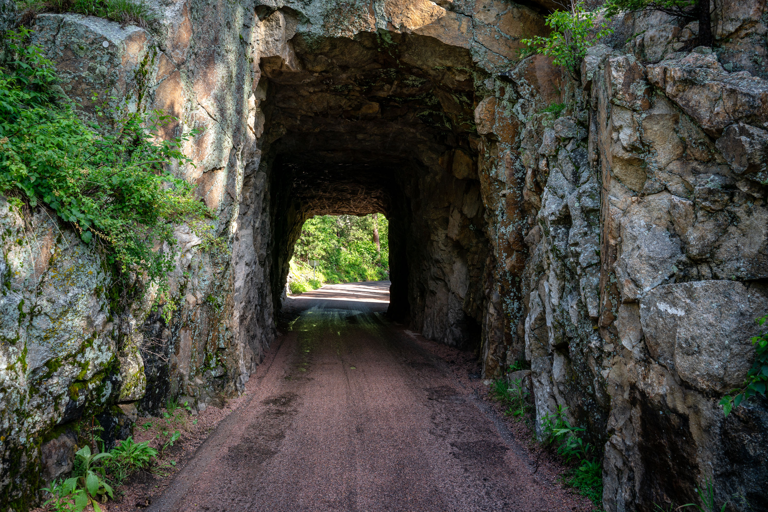
Iron Creek Tunnel carries Needles Highway through a granite outcrop in Custer State Park. The road was built in the 1920s under the direction of South Dakota Governor Peter Norbeck, who laid out the route on foot and horseback to highlight the Black Hills' granite spires. Norbeck designed several tunnels along the highway to frame views of Mount Rushmore and the surrounding needle rock formations, and Iron Creek Tunnel remains one of the narrower passages on the route, cut directly through native granite rather than lined with concrete. The highway connects to the Peter Norbeck Scenic Byway, a National Scenic Byway that also links to Custer State Park's Wildlife Loop Road.
Taken July 2019
More from
Custer State Park
 American Bison on Wildlife Loop Road in Custer State Park
American bison graze along Wildlife Loop Road, an 18-mile route through Custer State Park in the Black Hills of South…
 Black Elk Peak Trail Descent at Dusk, Black Hills, South Dakota
A hiker descends the trail from Black Elk Peak, the highest point in South Dakota, within Custer State Park. The…
 Mossy Granite Outcrop Near Sylvan Lake, Custer State Park
This granite outcrop sits along a small stream near Sylvan Lake, in the Black Hills of Custer State Park, South…
 Ponderosa Pine Trail near Black Elk Peak, Black Hills, South Dakota
Black Elk Peak, once named Harney Peak, rises to 7,244 feet in South Dakota's Black Hills, making it the highest…
 American Bison Along Wildlife Loop Road, Custer State Park
The American bison grazing along Wildlife Loop Road belongs to one of the largest publicly held herds in the country,…
 Foggy Summit of Black Elk Peak, Black Hills National Forest
Black Elk Peak reaches 7,242 feet, making it the highest point in South Dakota and the highest peak in the…


