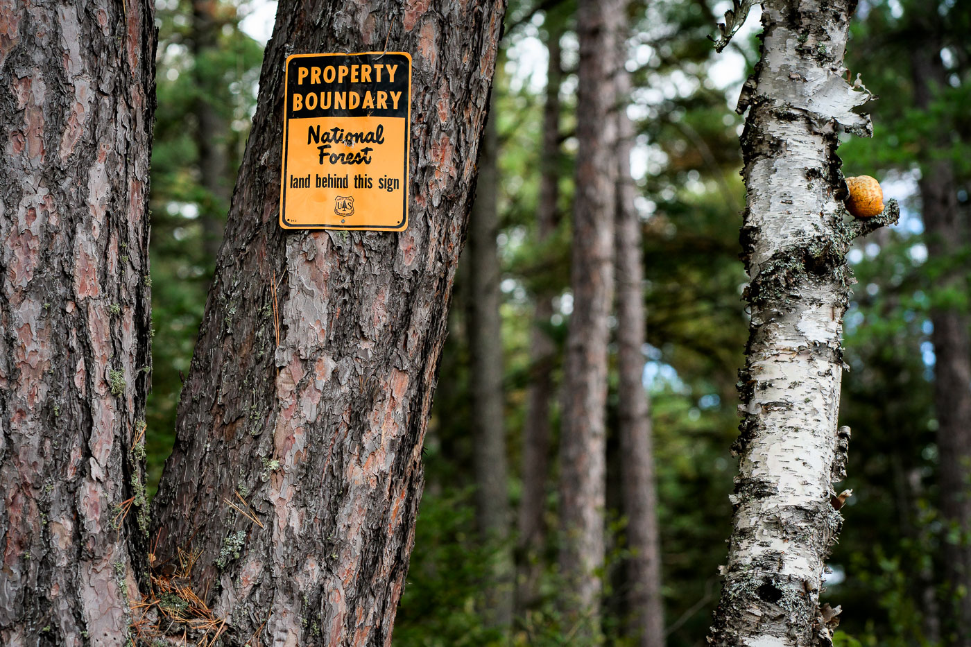
A U.S. Forest Service property boundary sign marks the transition onto Superior National Forest land in northern Minnesota. Signs like this one are posted throughout the region to indicate where federally managed forest begins—part of a system established after the forest’s creation in 1909 to protect timber resources, waterways, and wilderness habitat. Much of Northern Minnesota’s public land is a patchwork of federal, state, county, and private parcels, making boundary markers a practical guide for hunters, hikers, and anyone navigating the extensive backcountry.
Stony River Township, Minnesota, United States of America
Photo taken in September 2021. © Chad Davis


