
Map
More from Mexico City
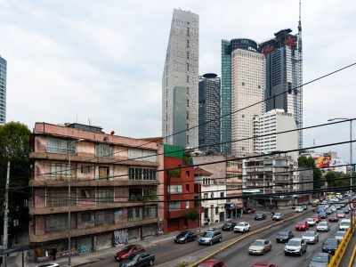
Towers Rising Over Reforma Near Chapultepec
Avenida Paseo de la Reforma in Mexico City is one of the city’s main east-west boulevards and a major commercial…
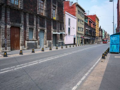
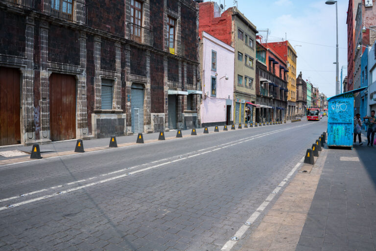
Cobblestone Stretch of Calle República de Uruguay, Centro Histórico
Calle República de Uruguay in Mexico City’s Centro Histórico is a historic corridor linking the Zócalo area with Eje Central.…

Aerial View of Paseo de la Reforma Toward the Alameda Central at Dusk
Paseo de la Reforma in Mexico City runs north from the historic center toward the city’s modern business districts. The…
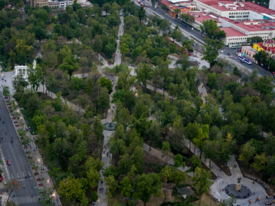
Aerial View of Alameda Central Park, Mexico City
Alameda Central in Mexico City’s Centro Histórico is the city’s oldest public park, established in 1592 and redesigned in the…
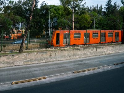
Mexico City Metro Line 1 Train Along Viaducto Road
Mexico City Metro Line 1 runs beside Viaducto, a major elevated roadway in the city’s south-central area. Opened in 1969,…
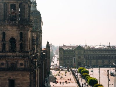
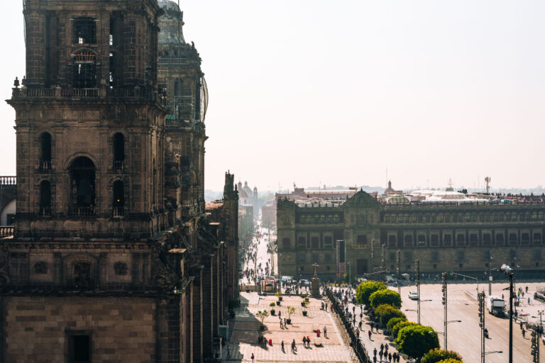
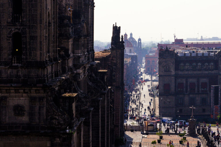
View Toward the Zócalo from the Metropolitan Cathedral Tower
The Metropolitan Cathedral in Mexico City stands on the north side of the Zócalo, the city’s main square. Construction began…
Nearby Photos