Place Archive

Mexico City

Paseo de la Reforma in Mexico City runs through a mix of historic parks such as Alameda Central and contemporary high-rise buildings, marking its importance as a major urban thoroughfare. The avenue reflects the city’s layered development from its 19th-century origins to its current role in commerce and public events.

35 photos

Photo Sets

Photos from Mexico City
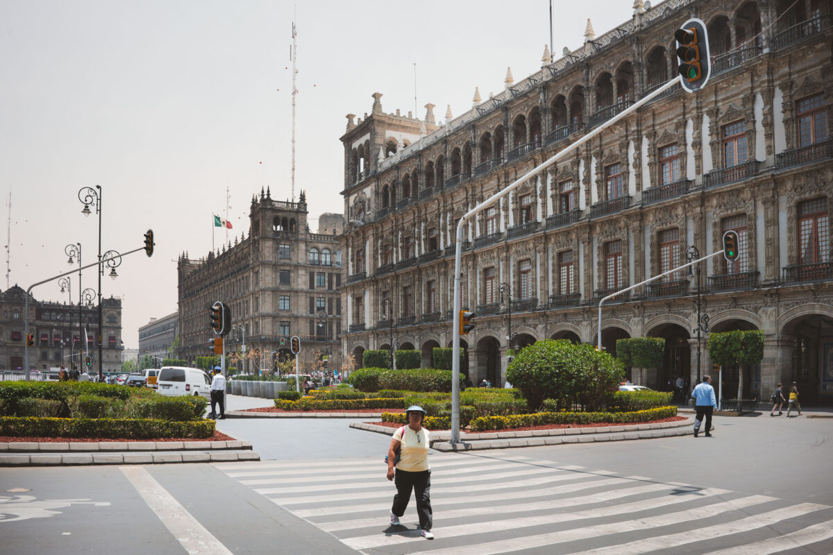
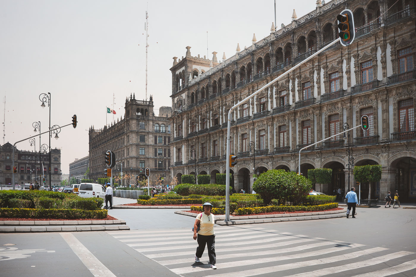
Mexico City’s Zócalo with the Palacio Nacional and pedestrians crossing nearby.
Mexico City's Zócalo is bordered by the Palacio Nacional and other colonial-era government buildings. The square remains the political and ceremonial center of the capital, with pedestrian crossings linking its broad paved expanse.
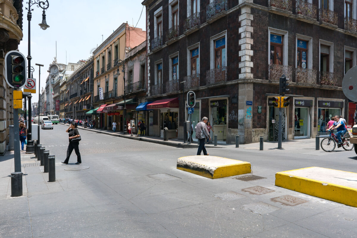
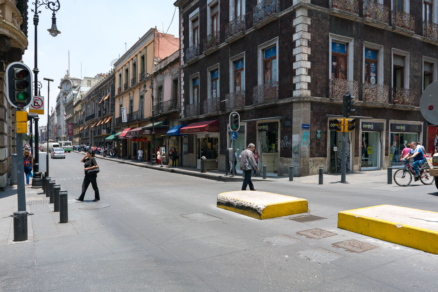
Calle 5 de Febrero and Calle República de Uruguay in Mexico City’s historic center with pedestrians and shops.
Calle 5 de Febrero and Calle República de Uruguay in Mexico City’s historic center. The area is part of the Centro Histórico, a UNESCO World Heritage site, with colonial-era and early 20th-century buildings along a busy commercial corridor. Shops and pedestrians fill the ground floors and sidewalks in this central district.
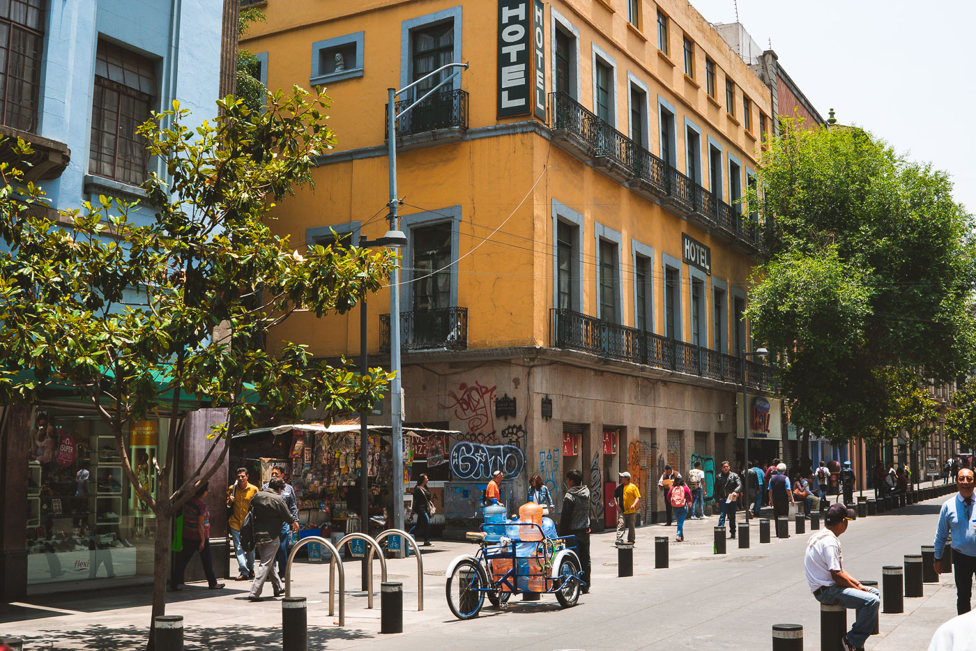
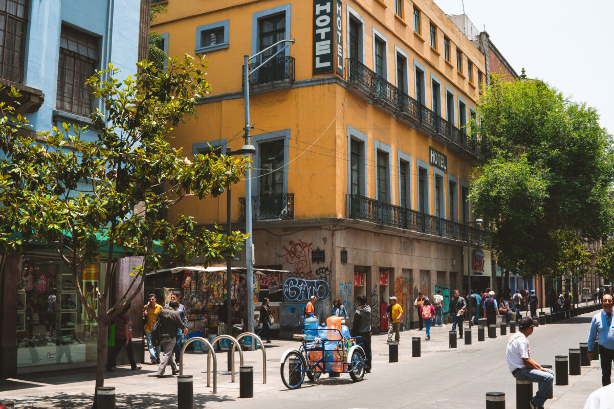
Hotel on Calle República de Uruguay in Mexico City’s historic center.
A hotel on Calle República de Uruguay in Mexico City's historic center anchors a busy pedestrian block near the city’s colonial-era core. The ground floor includes street-level storefronts and the surrounding block is used heavily by pedestrians and vendors.
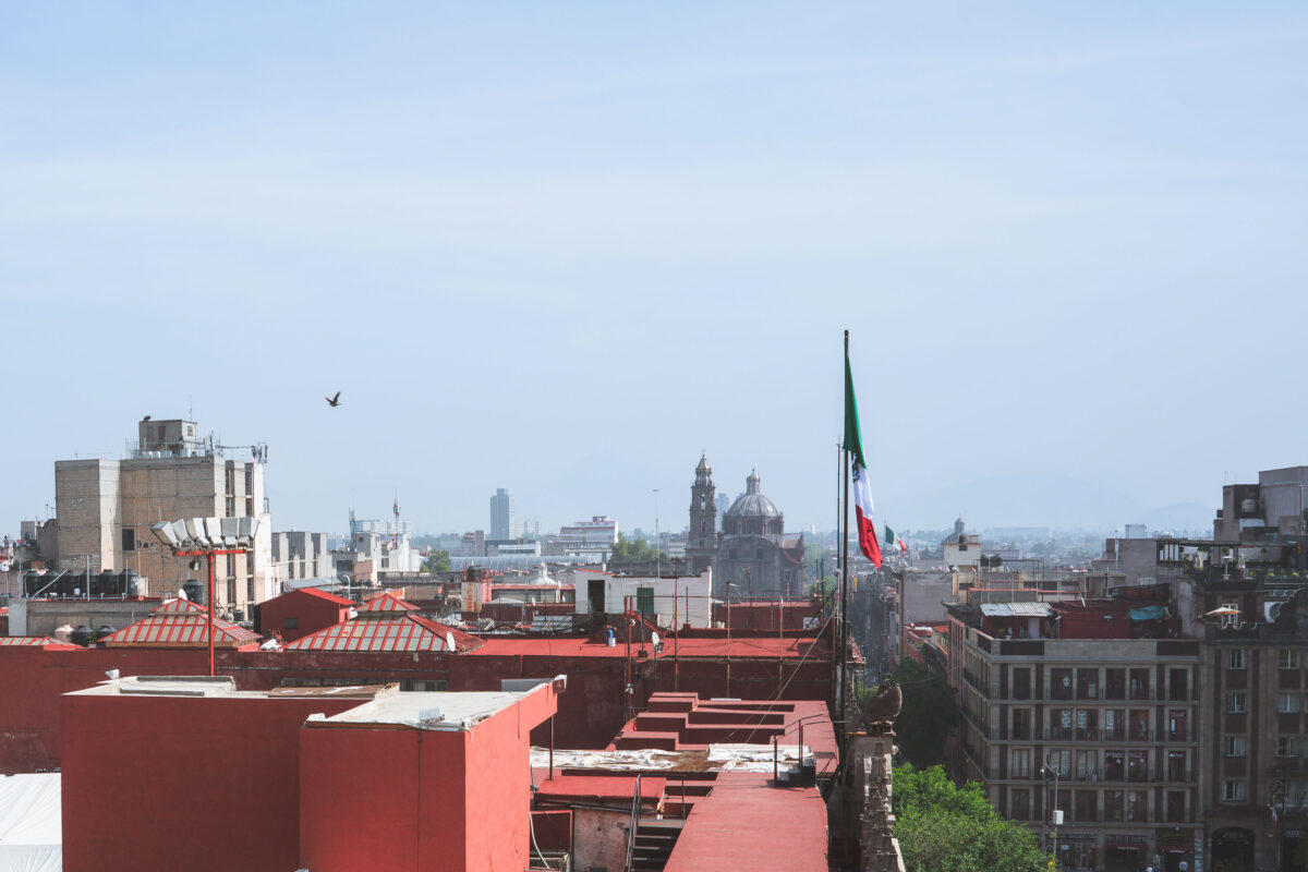
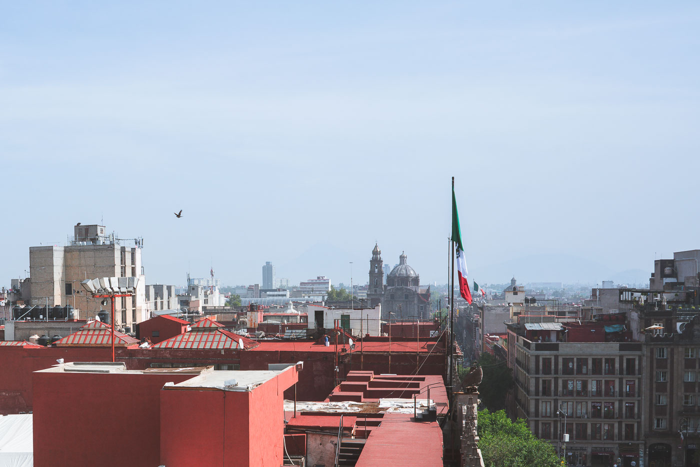
Rooftop in Mexico City near Zocalo
A view of Mexico City's historic center from above, with the Mexican flag prominently displayed near the Zócalo. The image showcases a mix of architectural styles, including the domes and towers of colonial-era churches juxtaposed with modern high-rise buildings. This area, the heart of the city, has been a center of political and cultural life since the Aztec era and continues to be a vital urban environment.
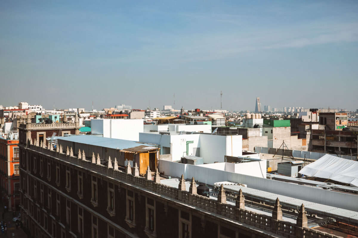
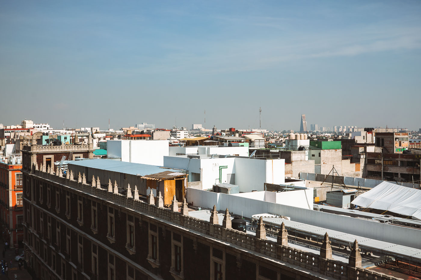
Mexico City rooftops in the historic center with Torre Latinoamericana on the horizon.
Mexico City’s historic Centro Histórico rooftops extend toward the Torre Latinoamericana and nearby high-rises. The district combines older low-rise buildings with newer commercial and residential structures.
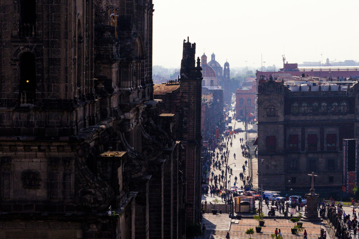
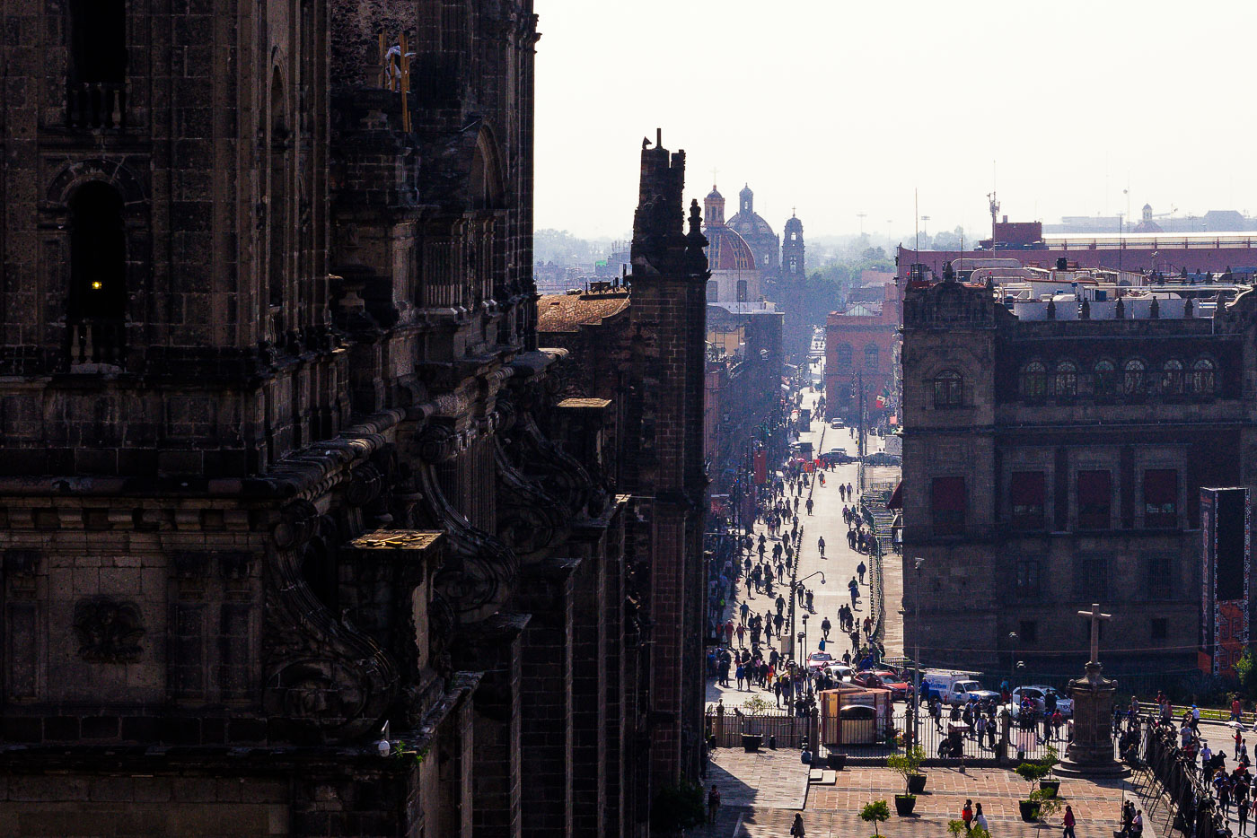
Francisco I. Madero Avenue in Mexico City extends east from the Metropolitan Cathedral.
Francisco I. Madero Avenue in Mexico City’s historic center extends east from the Metropolitan Cathedral. The pedestrian street links the Zócalo area with the rest of the Centro Histórico and passes historic commercial buildings and landmarks. The cathedral, begun in the 16th century, is one of the city’s most important religious monuments.
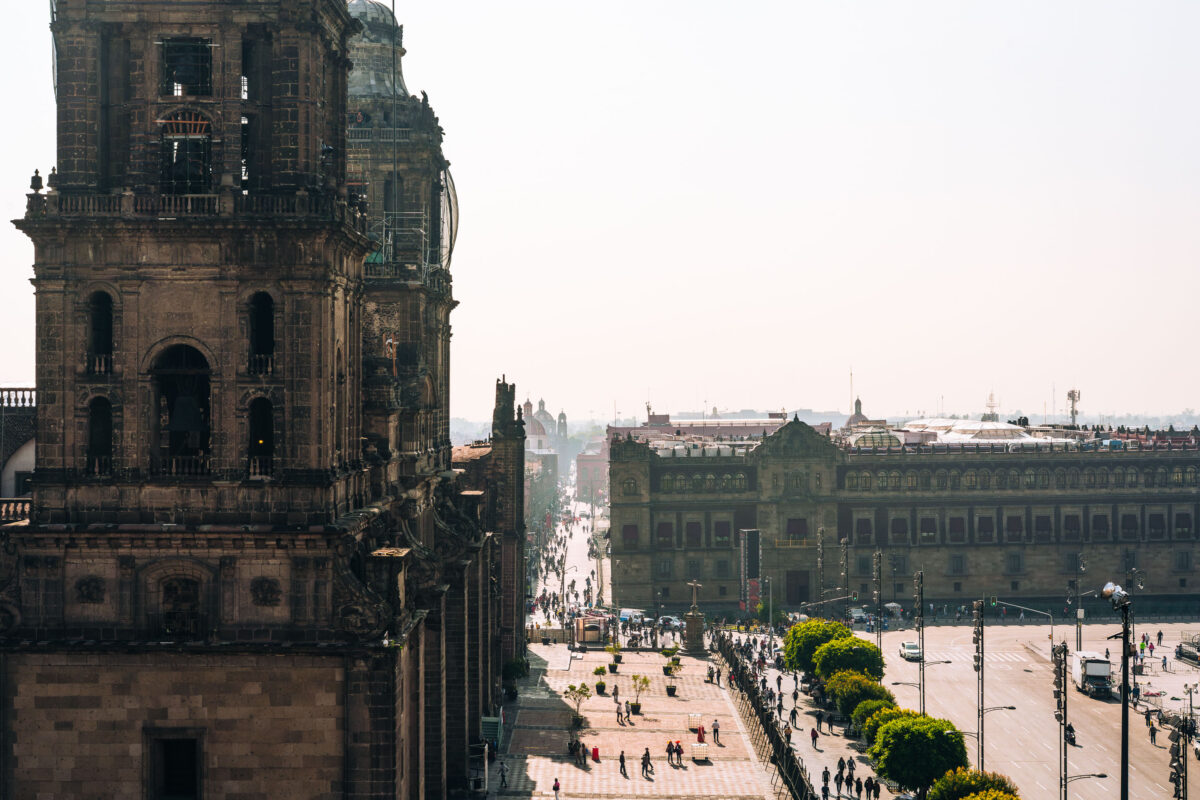
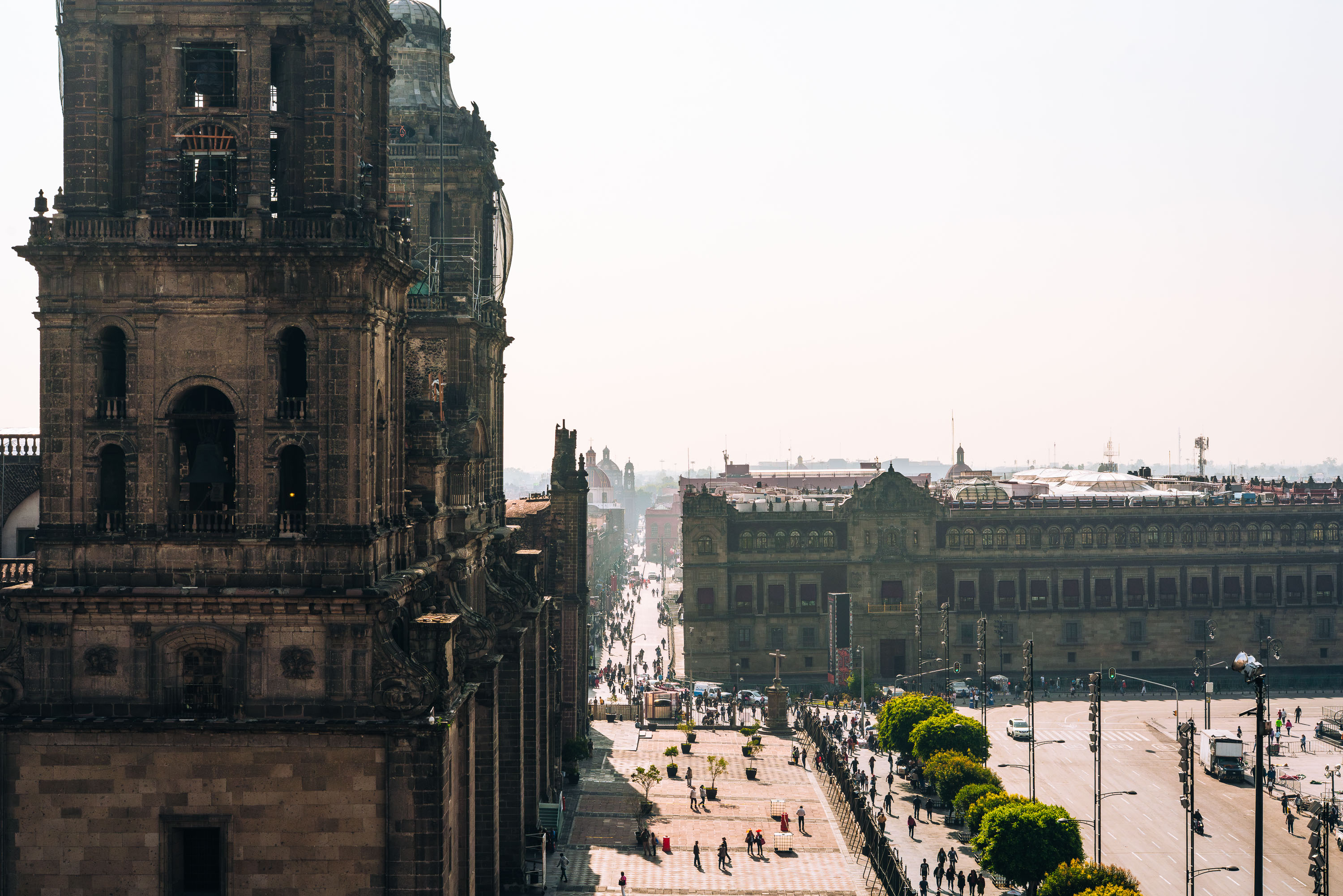
Metropolitan Cathedral at Mexico City Zócalo, beside Plaza de la Constitución.
The Metropolitan Cathedral in Mexico City stands on the north side of the Zócalo, the city’s main square. Construction began in the 16th century and continued for several centuries on the site of the former Aztec ceremonial precinct.
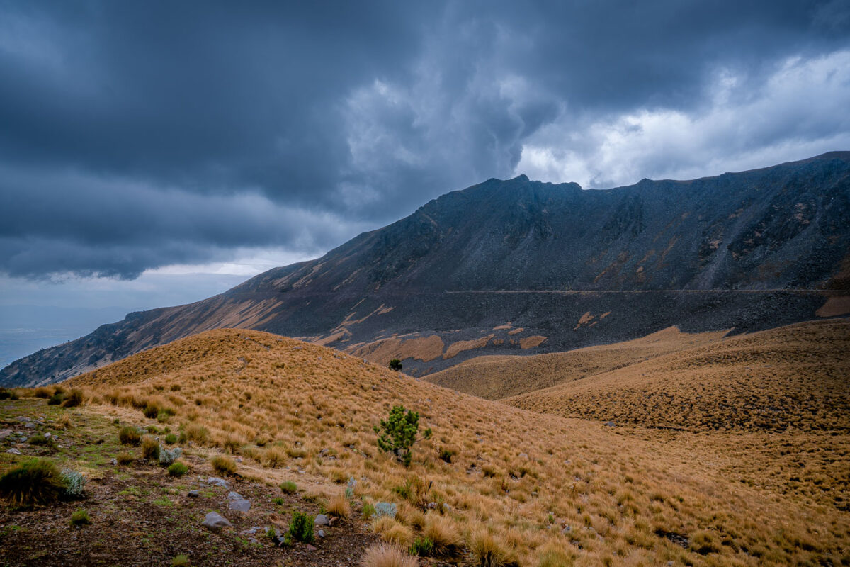
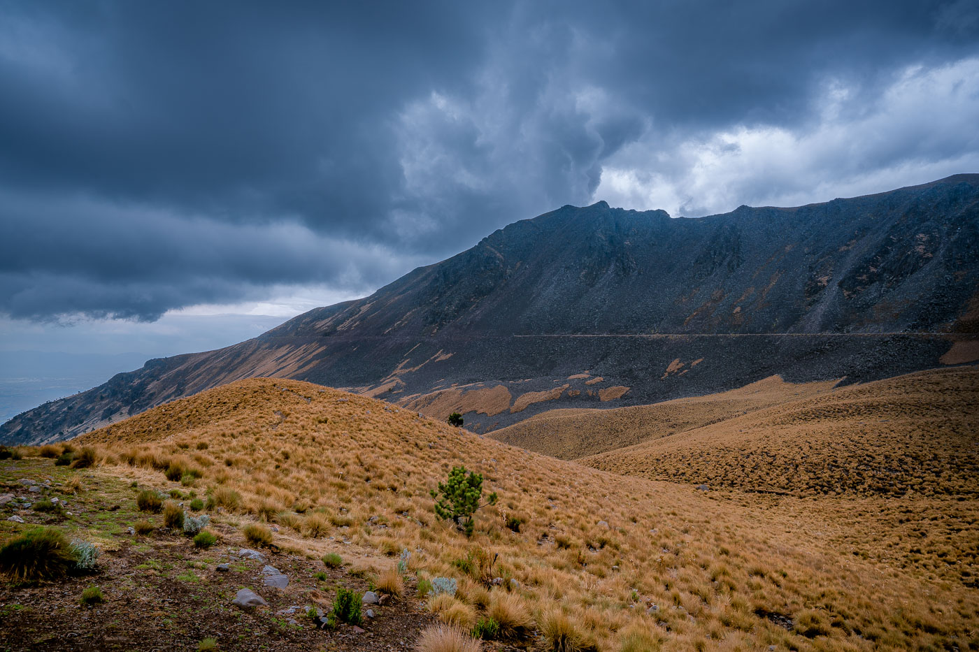
Nevado de Toluca stratovolcano in central Mexico under storm clouds.
Nevado de Toluca is a stratovolcano in central Mexico and part of the Trans-Mexican Volcanic Belt. Its caldera contains several crater lakes, including Laguna del Sol and Laguna de la Luna. The mountain is protected as Nevado de Toluca National Park.
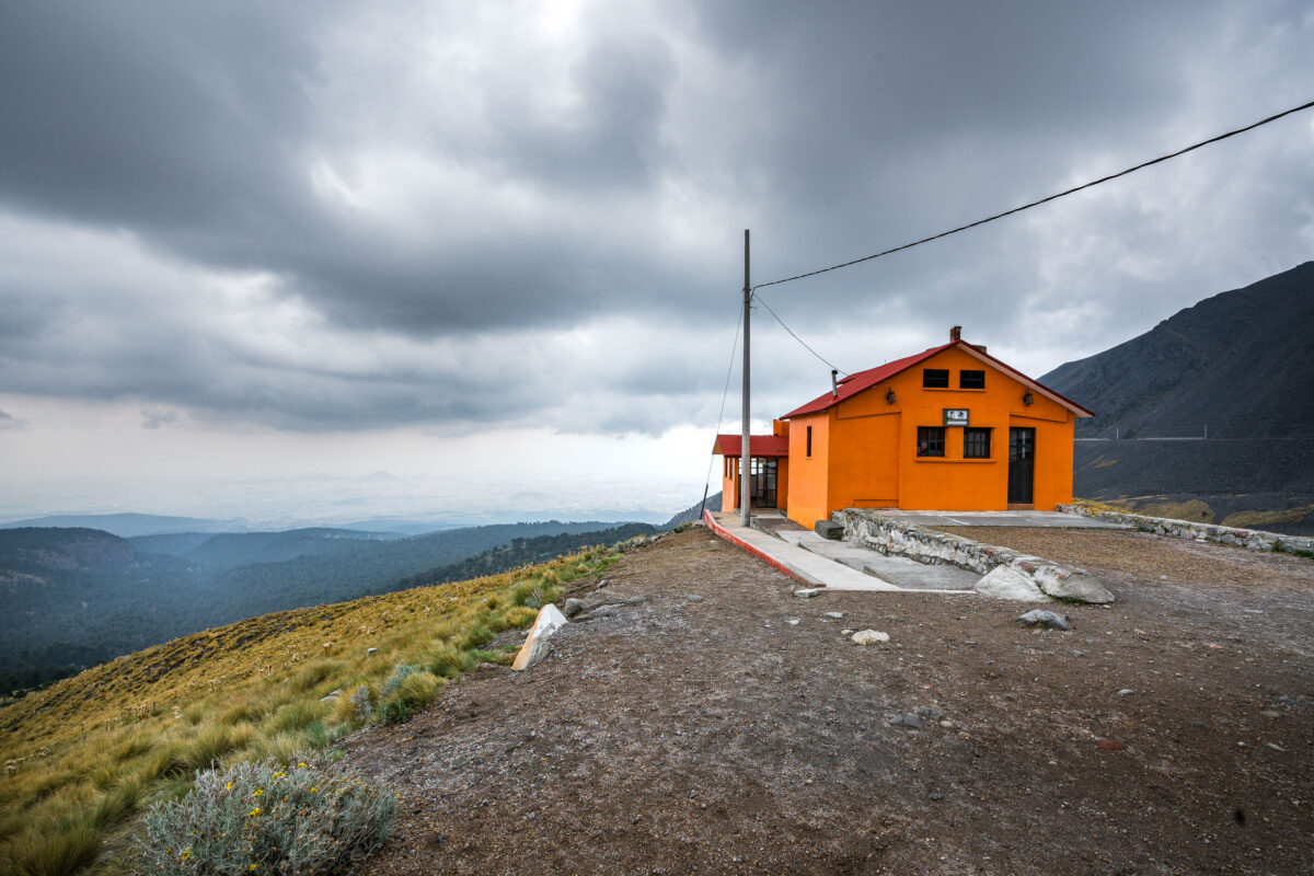
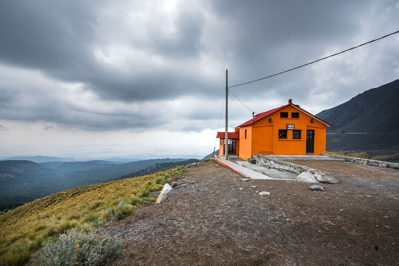
Orange mountain refuge on Nevado de Toluca in central Mexico with volcanic slopes and cloudy skies.
Nevado de Toluca in central Mexico is home to this mountain refuge, a shelter building on the volcano’s upper slopes. The refuge supports hikers and researchers visiting the high-altitude landscape about 80 kilometers west of Mexico City.
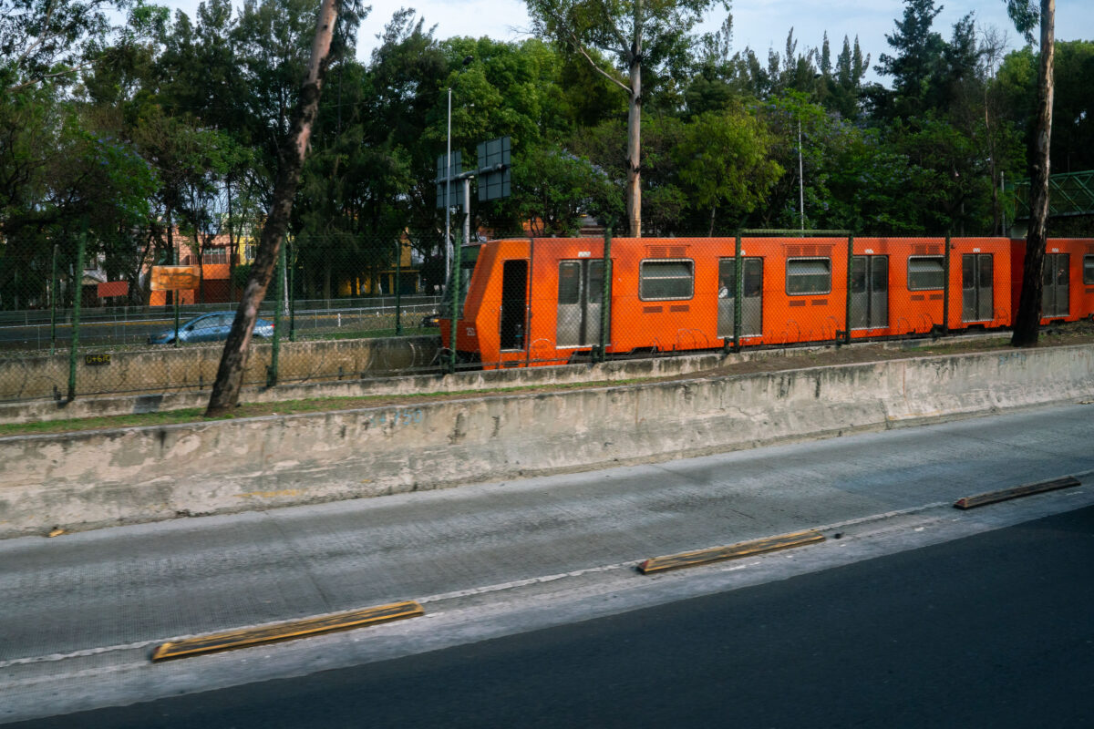
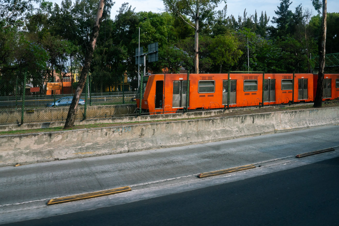
Mexico City Metro Line 1 train beside Viaducto elevated roadway.
Mexico City Metro Line 1 runs beside Viaducto, a major elevated roadway in the city’s south-central area. Opened in 1969, the metro is one of the largest subway systems in the world and uses rubber-tired trains on several lines. Line 1 is the system’s original east-west corridor.
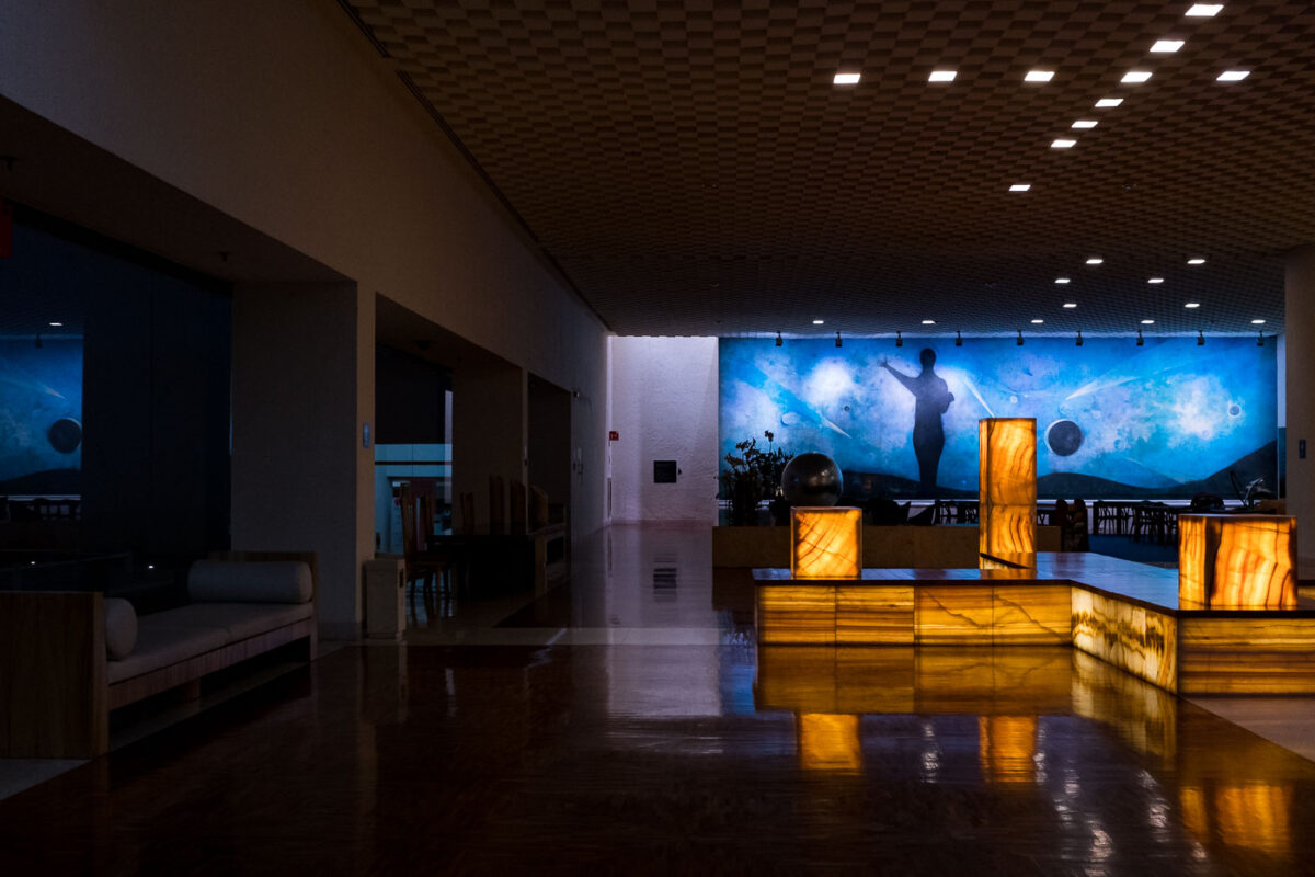
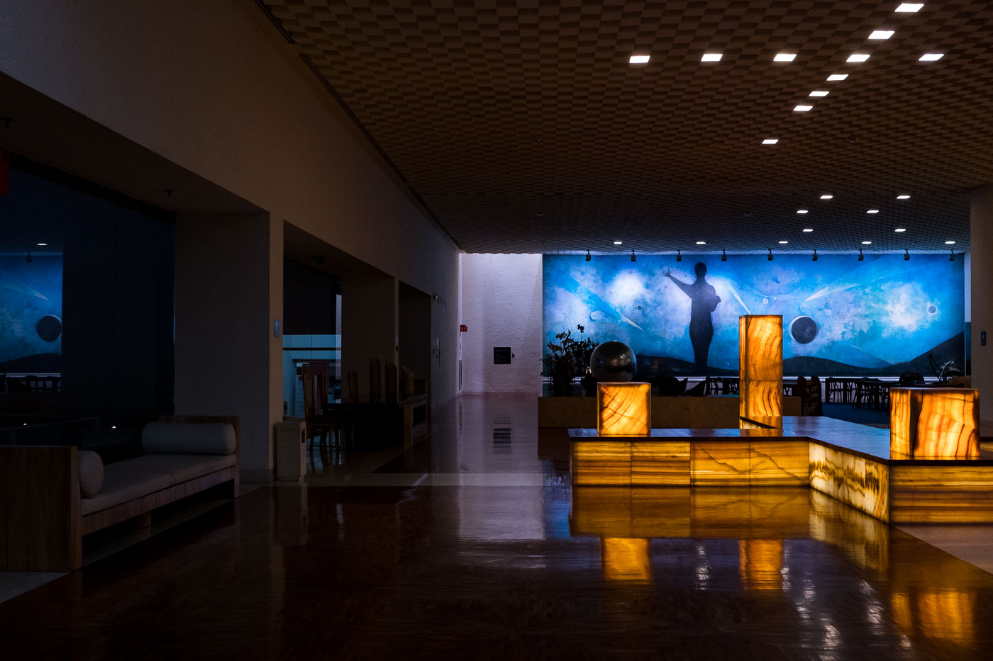
Mexico City hotel lobby with a celestial mural and illuminated onyx fixtures.
Mexico City hotel lobby with a large celestial mural and illuminated onyx fixtures. The interior combines modernist design elements with public art and natural stone finishes.
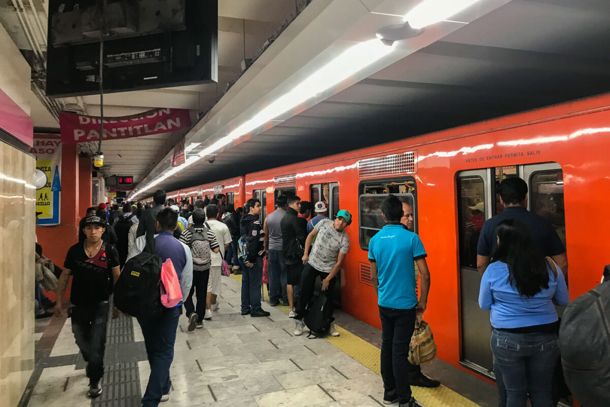
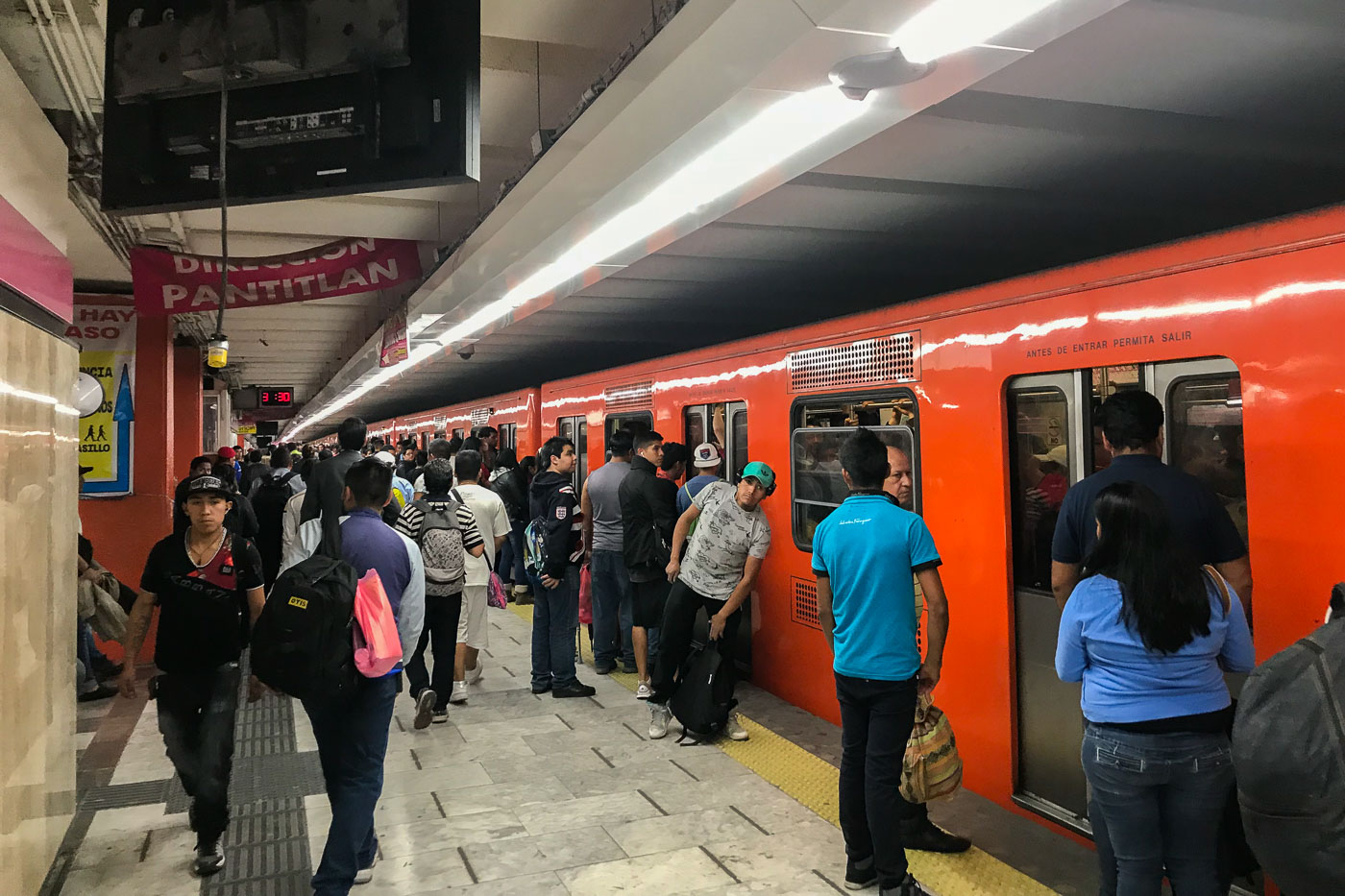
Passengers wait on the platform at Pantitlan Station, a major transfer point for Mexico City Metro Lines 1, 5, 9, and A. An orange train is stopped at the platform.
Passengers wait on the platform at Pantitlan Station, a major transfer point for Mexico City Metro Lines 1, 5, 9, and A. An orange train is stopped at the platform, with signage indicating "DIRECCION PANTITLAN" and "ANTES DE ENTRAR PERMITA SALIR." Pantitlan Station serves as a critical hub for commuters in the eastern part of Mexico City, connecting multiple lines and facilitating travel across the vast metropolitan area. Its design and function are central to the daily transit of millions of residents, reflecting the city's extensive public transportation network.
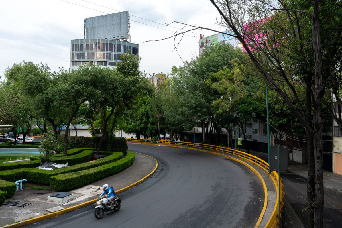
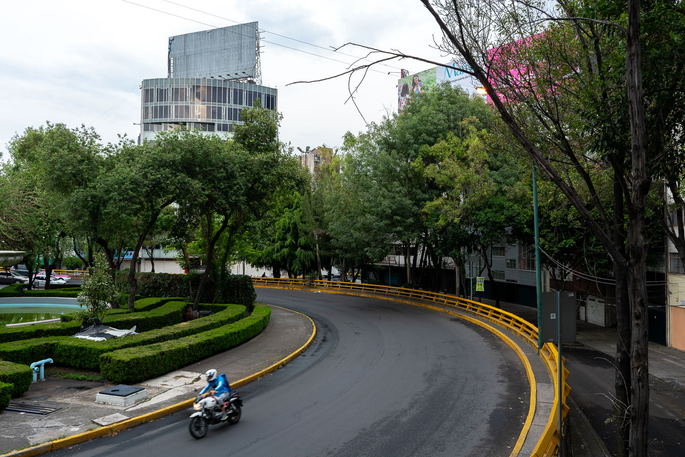
Motorcyclist by Fuente de los Buhos in Mexico City, beside a curved road and trees.
Fuente de los Buhos in Mexico City's Bosque de Chapultepec park is a traffic circle and public space known for its owl sculptures. The area sits near one of the city's largest urban parks, a major recreational and cultural landscape.
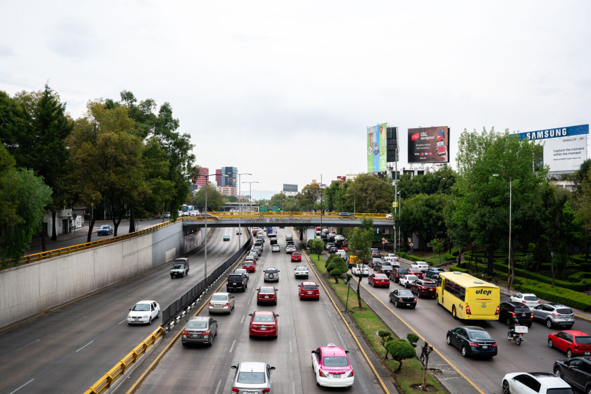
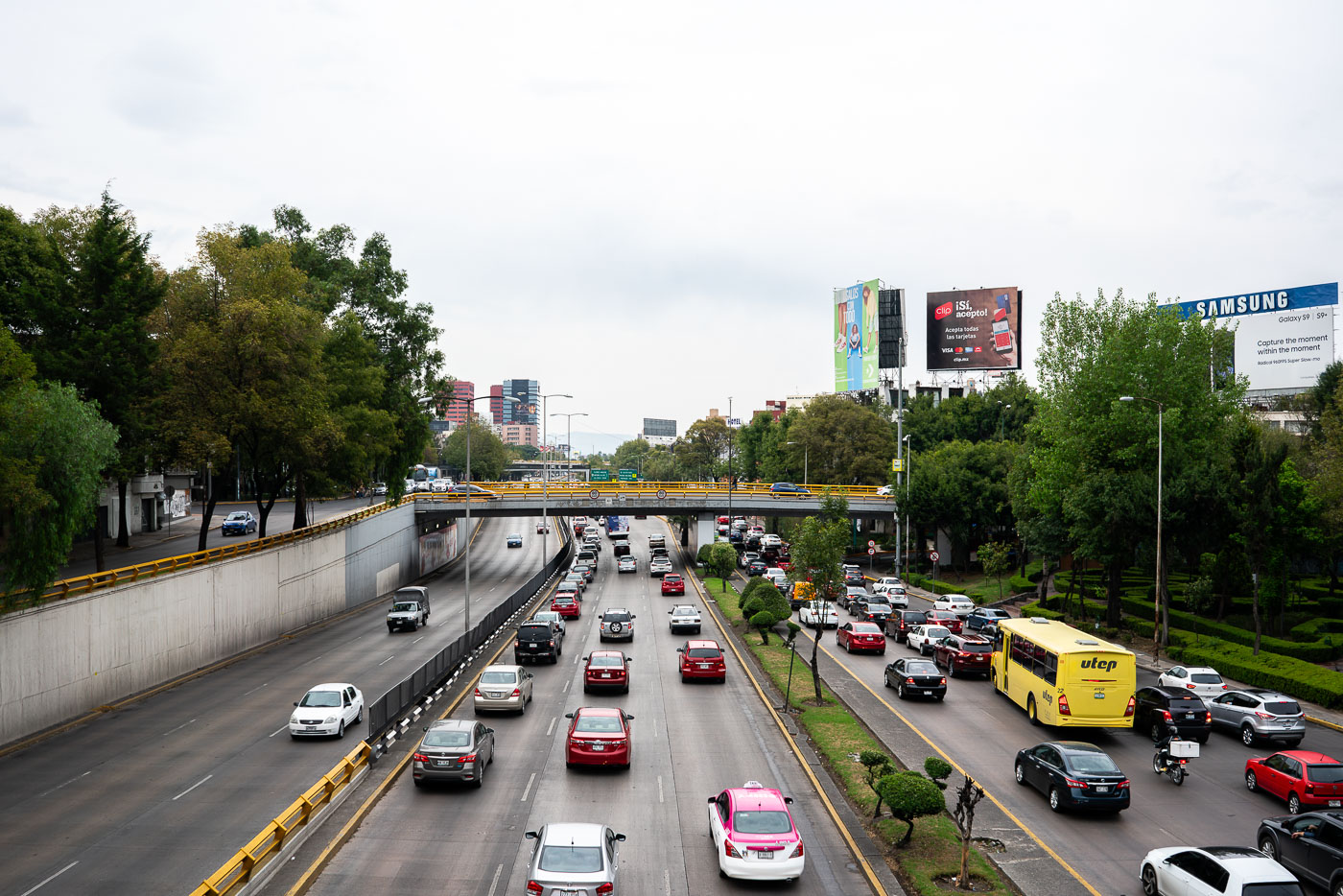
Traffic on Circuito Interior Melchor Ocampo in Mexico City.
Circuito Interior Melchor Ocampo in Mexico City is a major urban expressway that carries heavy traffic through the northern part of the capital. The road is part of the Circuito Interior ring route, which links several districts and helps distribute cross-city vehicle flow.
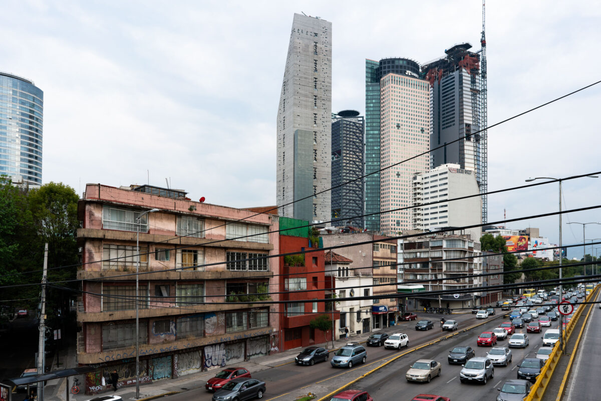
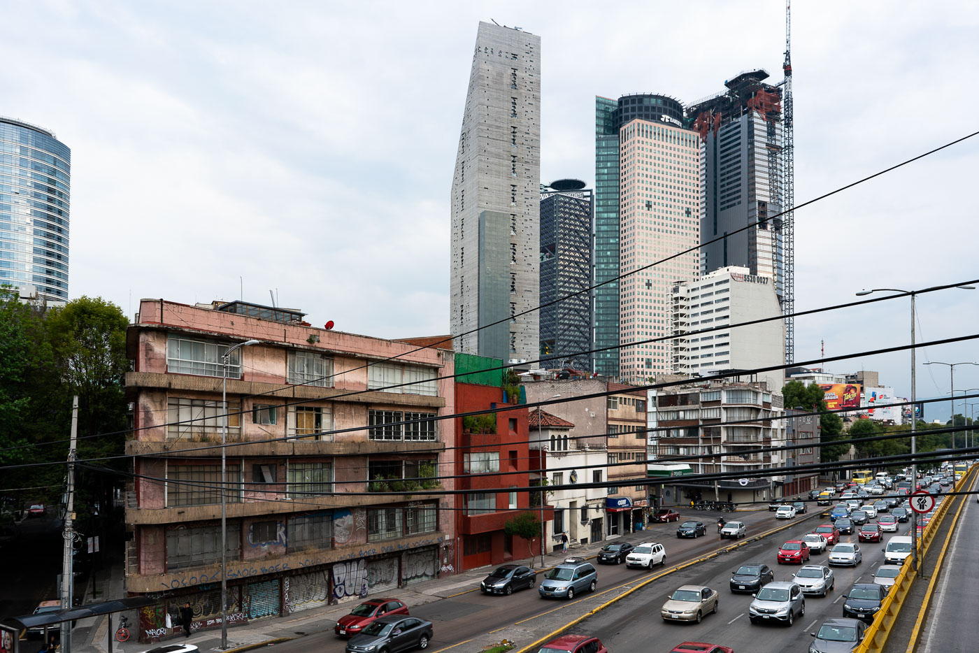
Avenida Paseo de la Reforma in Mexico City with midcentury buildings and high-rise towers.
Avenida Paseo de la Reforma in Mexico City is one of the city’s main east-west boulevards and a major commercial corridor. The avenue links older midcentury buildings with newer high-rise towers in the financial district. It also carries heavy traffic toward Chapultepec and western Mexico City.
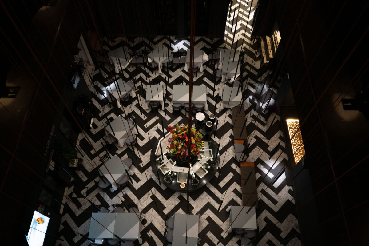
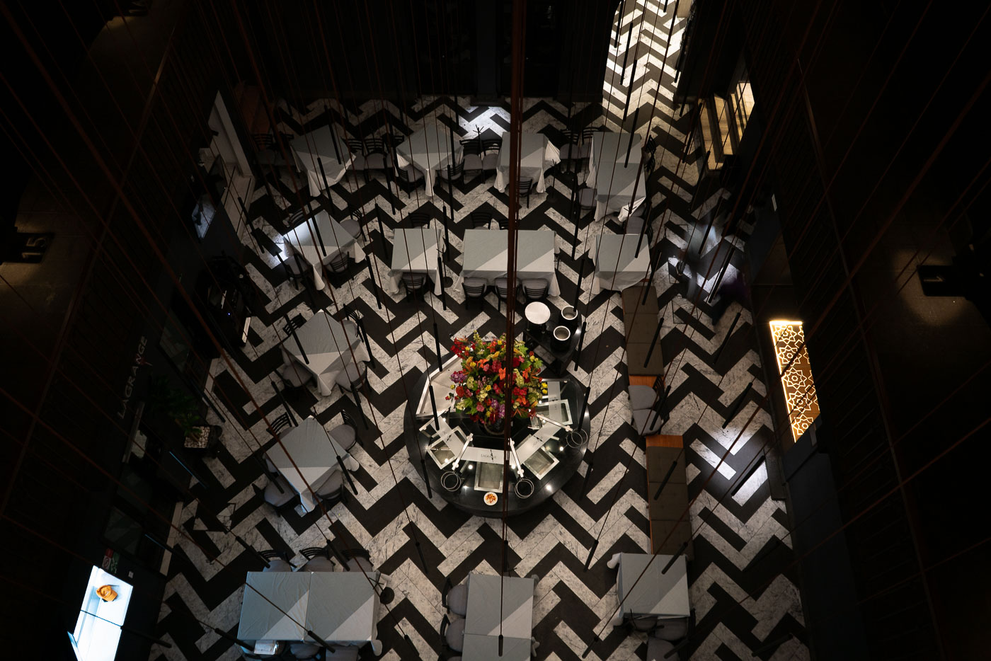
Hotel Punta MX Restaurant in Mexico City with a black-and-white chevron floor pattern.
Hotel Punta MX Restaurant in Mexico City occupies a dining room with a black-and-white chevron floor pattern. The restaurant is part of Hotel Punta MX, a downtown property near the historic center. Its tables are arranged around a central decorative display, creating a formal dining layout.
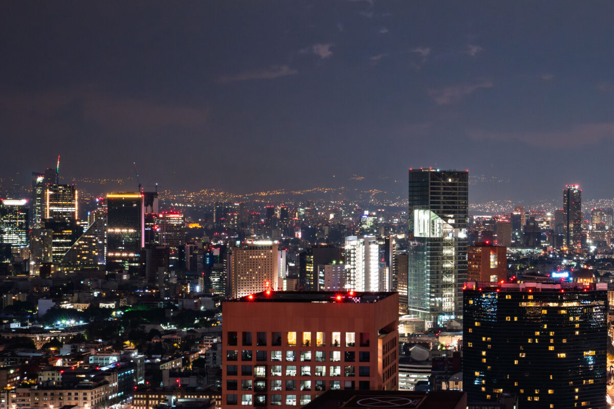
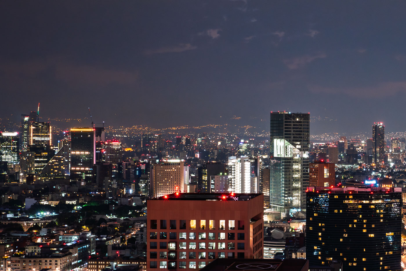
Mexico City skyline at night with high-rise towers and city lights.
Mexico City skyline at night. The city is the capital of Mexico and one of the largest metropolitan areas in the Americas. Its central business districts contain many of the country’s tallest office and residential towers.
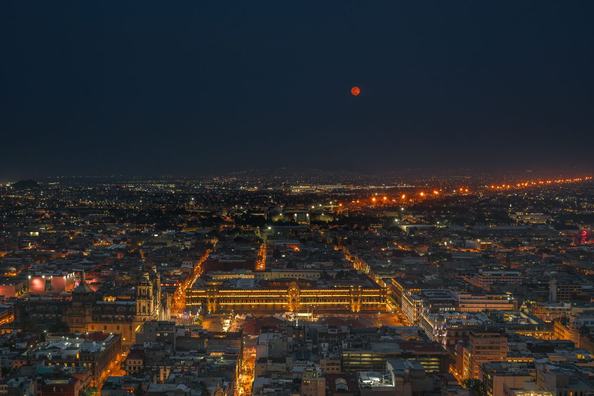
Full moon over the Zócalo and National Palace in downtown Mexico City at night.
The Zócalo — officially Plaza de la Constitución — has anchored Mexico City since the 16th century, built over the ceremonial center of the Aztec capital Tenochtitlan. At roughly 46,800 square meters, it ranks among the largest public squares on Earth. The National Palace, seat of the federal executive, runs along its eastern side, while the Metropolitan Cathedral, begun in 1573, faces it from the north. The square remains the site of presidential inaugurations, military parades, and national holidays including Independence Day and Día de los Muertos gatherings.
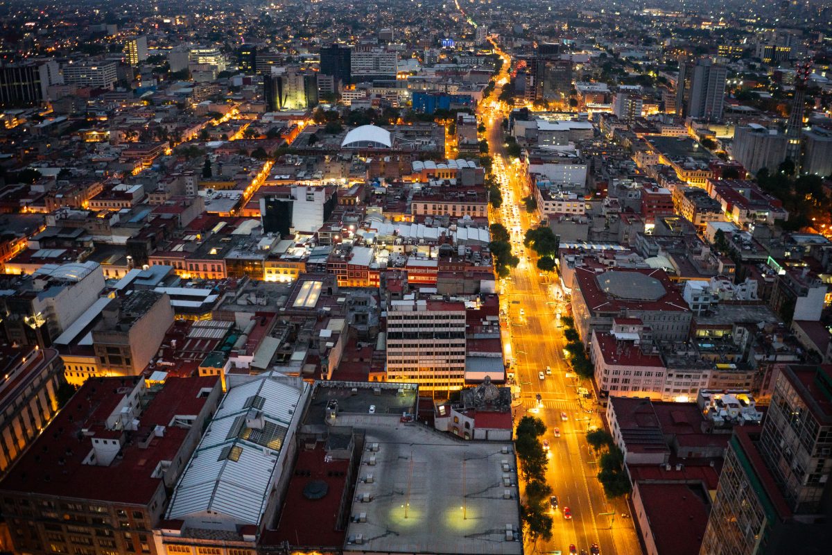
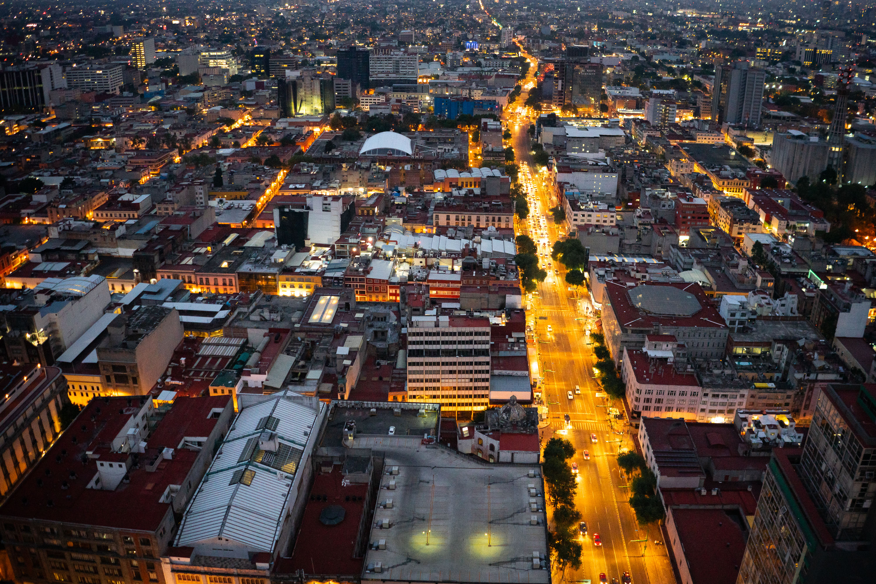
Aerial night view of Eje Central Lázaro Cárdenas running through Mexico City's Centro Histórico district.
Eje Central Lázaro Cárdenas cuts north-south through Mexico City's Centro Histórico, linking the old colonial core to newer districts to the south. The avenue was widened and renamed in the 1960s in honor of former president Lázaro Cárdenas, replacing a narrower colonial-era street. It remains one of the capital's principal traffic corridors, carrying both private vehicles and public transit through a district built atop the ruins of Tenochtitlan. Buildings along its length date from the early 20th century through the present, reflecting decades of the city's commercial expansion.
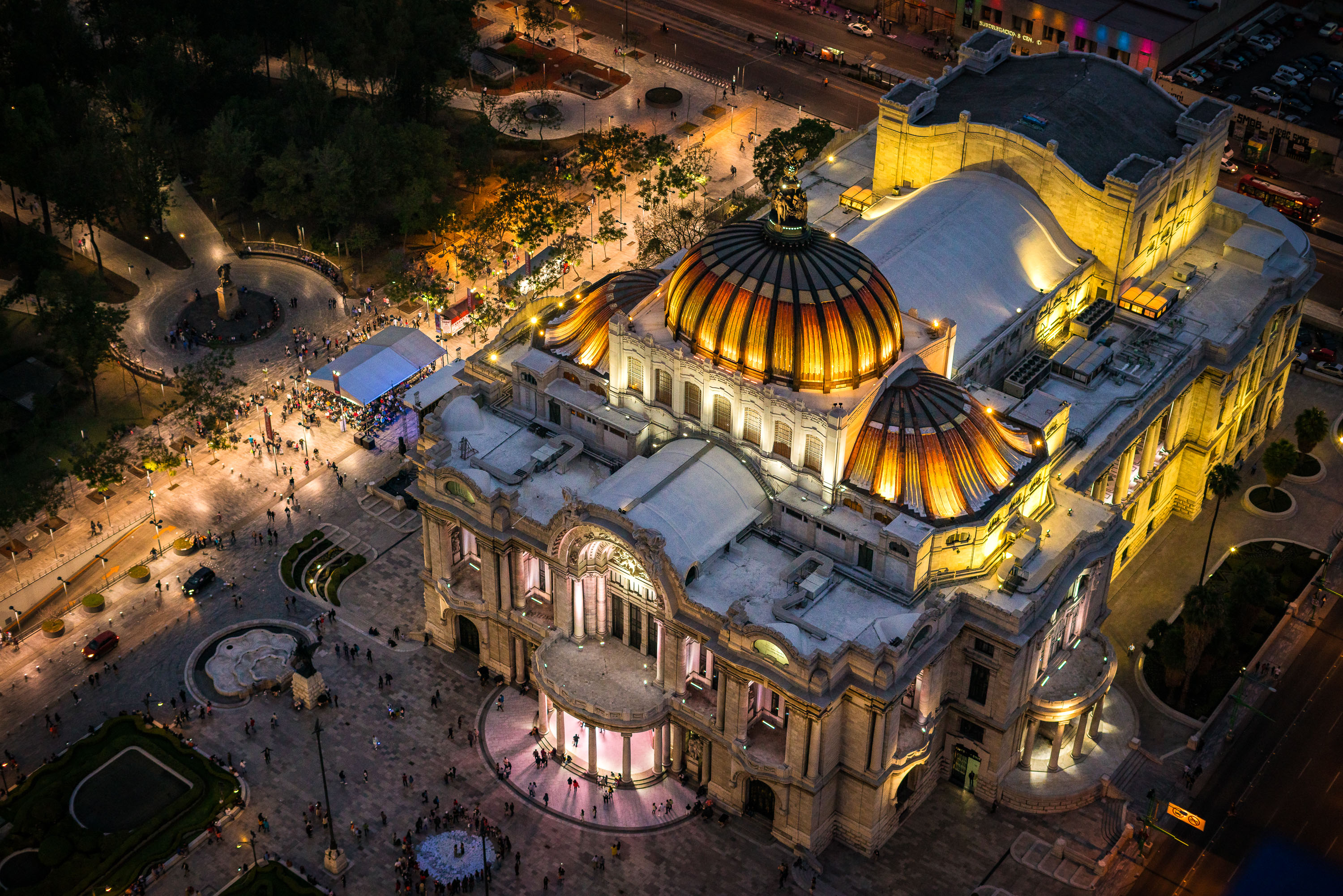
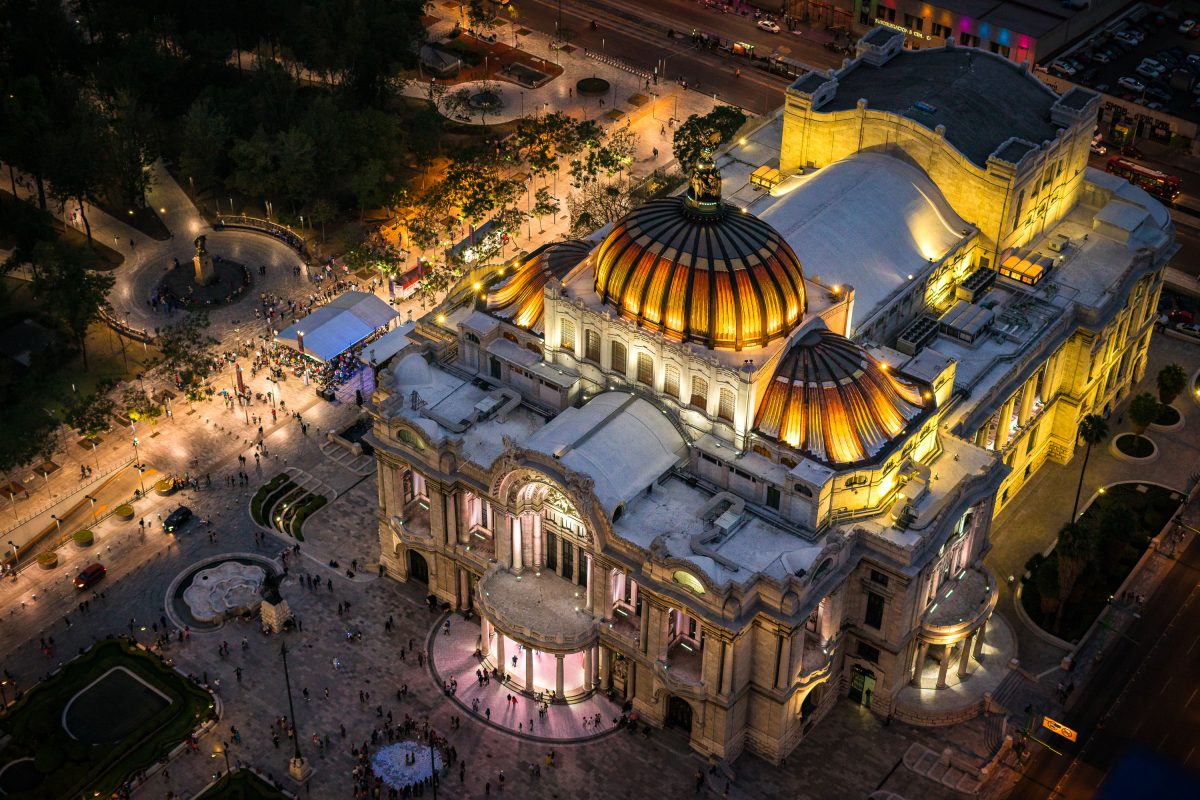
Aerial night view of Palacio de Bellas Artes' domed roofline and surrounding plaza in downtown Mexico City.
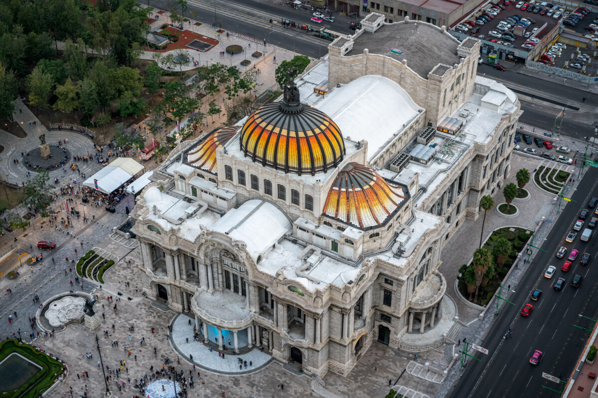
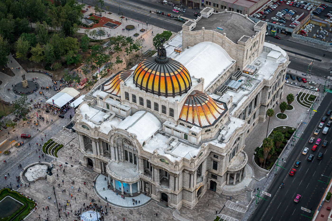
Palacio de Bellas Artes sits at the western edge of the Alameda Central in downtown Mexico City. Construction began in 1904 under architect Adamo Boari, whose Art Nouveau design used a marble exterior that proved too heavy for the site's soft soil; work stalled for years before Federico Mariscal completed the project in 1934 with an Art Deco interior. The building houses murals by Diego Rivera, David Alfaro Siqueiros, and Rufino Tamayo, along with a Tiffany glass curtain depicting the Valley of Mexico that serves as the stage backdrop for the National Auditorium. It remains home to the Palacio de Bellas Artes Museum and the National Institute of Fine Arts, hosting opera, theater, and the Ballet Folklórico de México.
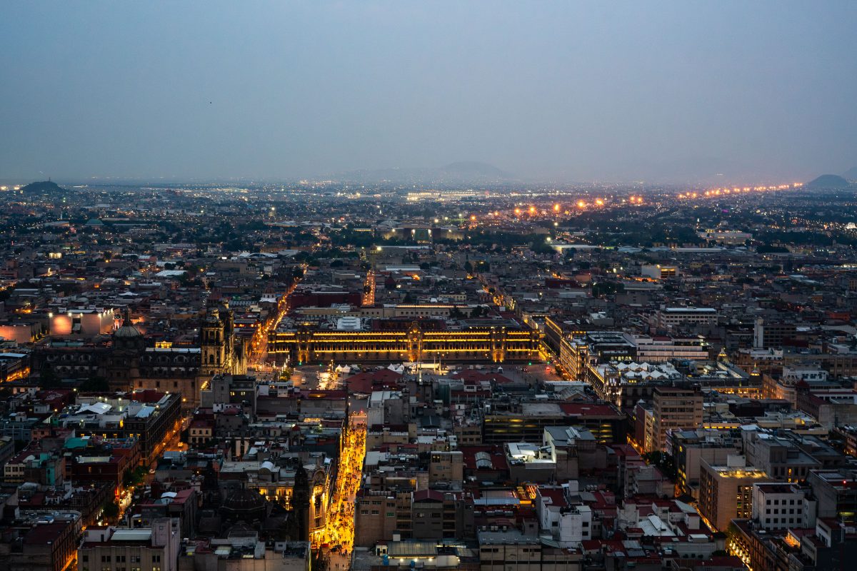
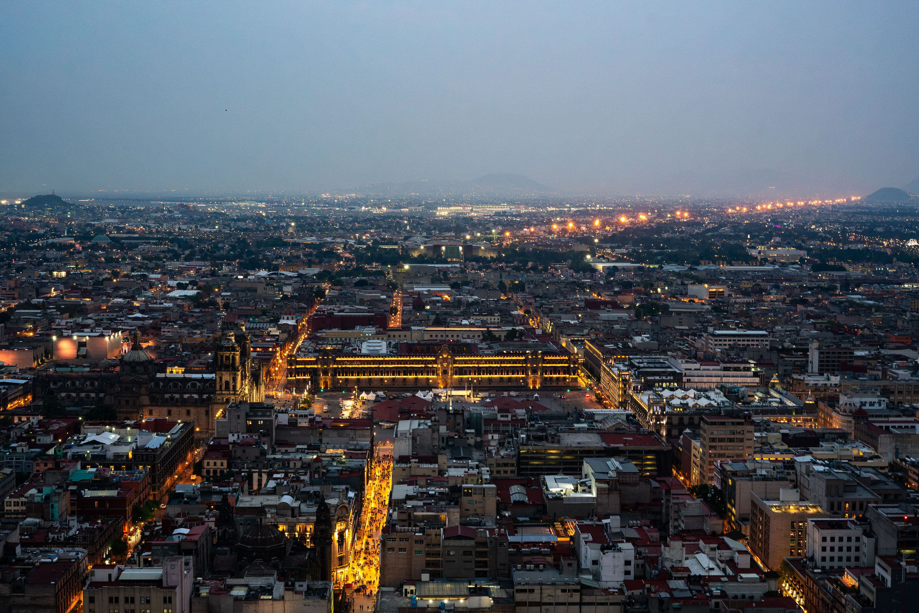
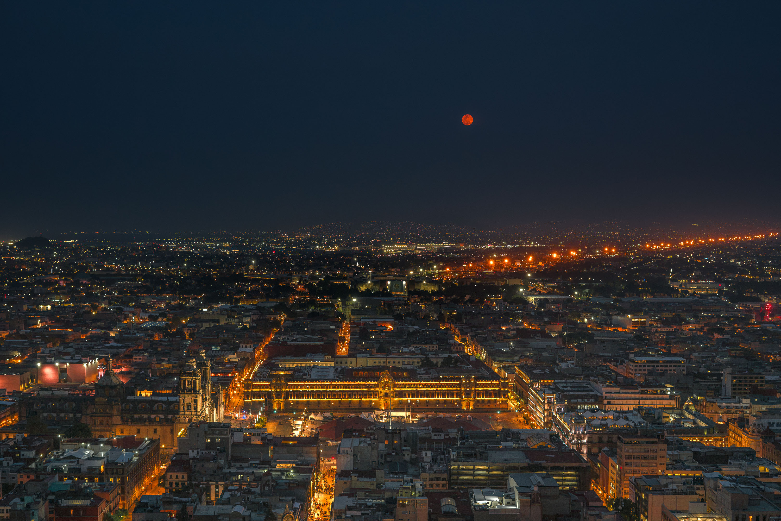
Aerial night view of the Zócalo and Mexico City's historic center skyline with surrounding cityscape.
The Zócalo, officially Plaza de la Constitución, sits at the center of this view, framed by the National Palace to the east and the Metropolitan Cathedral to the north. Built over the ruins of Tenochtitlan's sacred precinct, the square covers roughly 46,800 square meters, making it one of the largest public plazas in the world. Mexico City's historic center, a UNESCO World Heritage Site since 1987, radiates outward from this point in a grid laid out by Spanish colonizers in the 16th century. The metropolitan area beyond holds more than 21 million people, one of the largest urban populations on the planet.
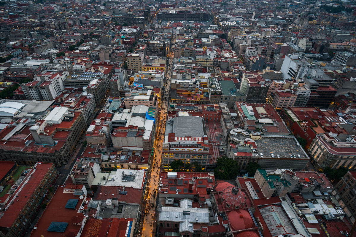
Calle Francisco I. Madero from above in Mexico City’s Centro Histórico.
Calle Francisco I. Madero is a pedestrian street in Mexico City’s Centro Histórico, linking the Zócalo area with the Torre Latinoamericana. Pedestrianized in 2010, it runs through a dense corridor of historic buildings and commercial activity in the city center.
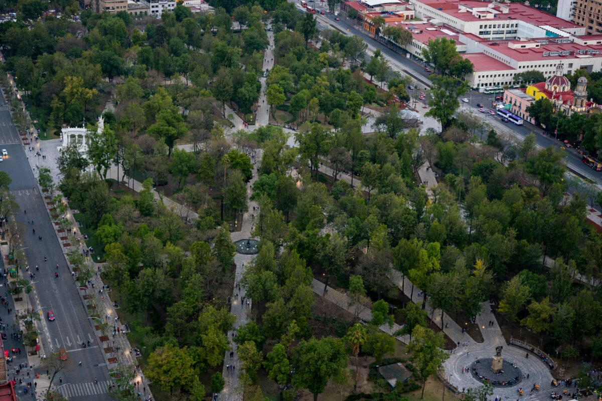
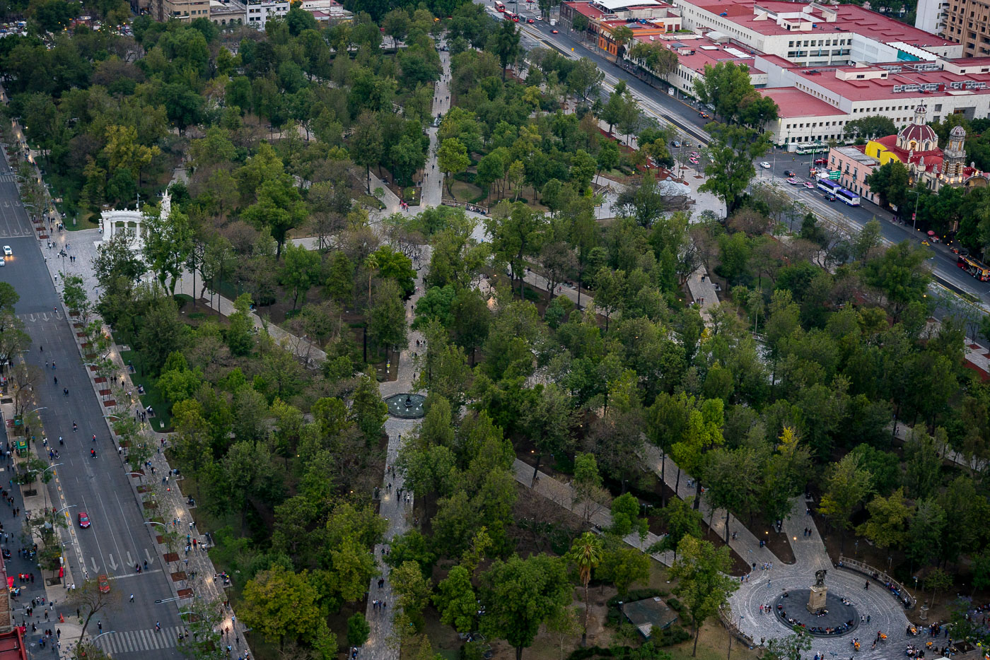
Alameda Central and the Hemiciclo a Juárez in Mexico City’s Centro Histórico.
Alameda Central in Mexico City’s Centro Histórico is the city’s oldest public park, established in 1592 and redesigned in the 19th century. The Hemiciclo a Juárez, a marble monument erected in 1910, stands at the park’s western edge. The park is bordered by major streets and civic buildings in the historic center.
Palacio de Bellas Artes in Mexico City beside Alameda Central.
Palacio de Bellas Artes in Mexico City is a major performing arts venue and museum on the edge of Alameda Central. Construction began in 1908 and the building opened in 1934, combining Art Nouveau and Art Deco design. It houses murals by major Mexican artists and is one of the city’s best-known cultural landmarks.

Built in Minneapolis

Minneapolis Photographer

Browse by location, move through long-running series, or start with recent work.