Overlook

5 photos · 2014–2025

5 photographs tagged Overlook, 2014–2025.
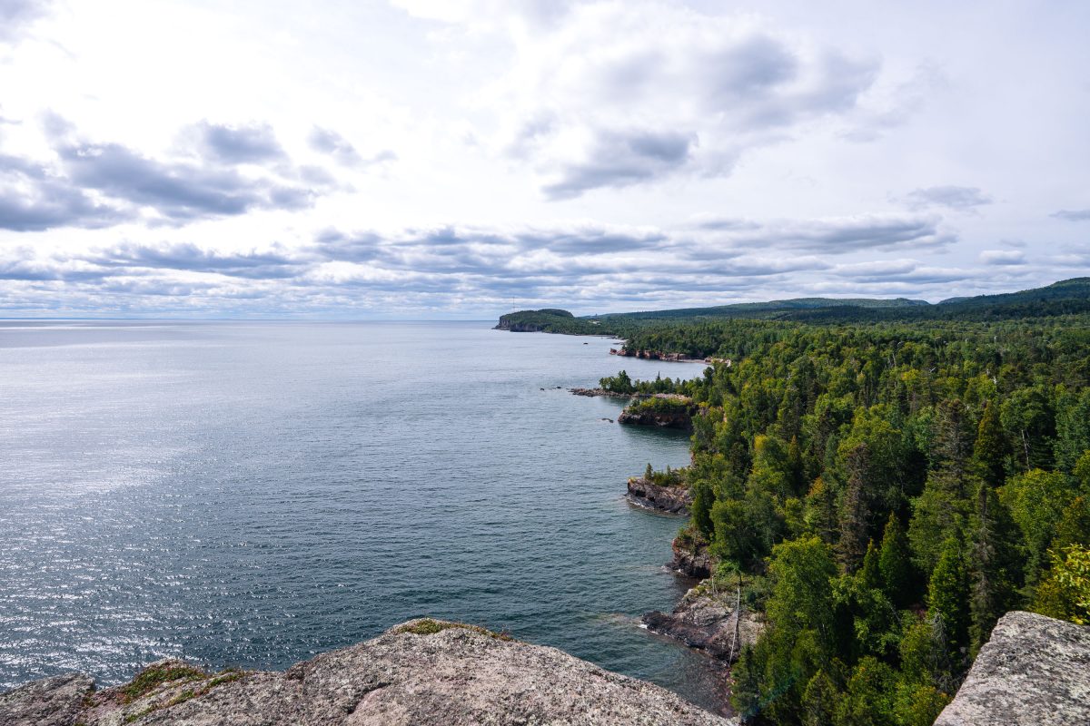
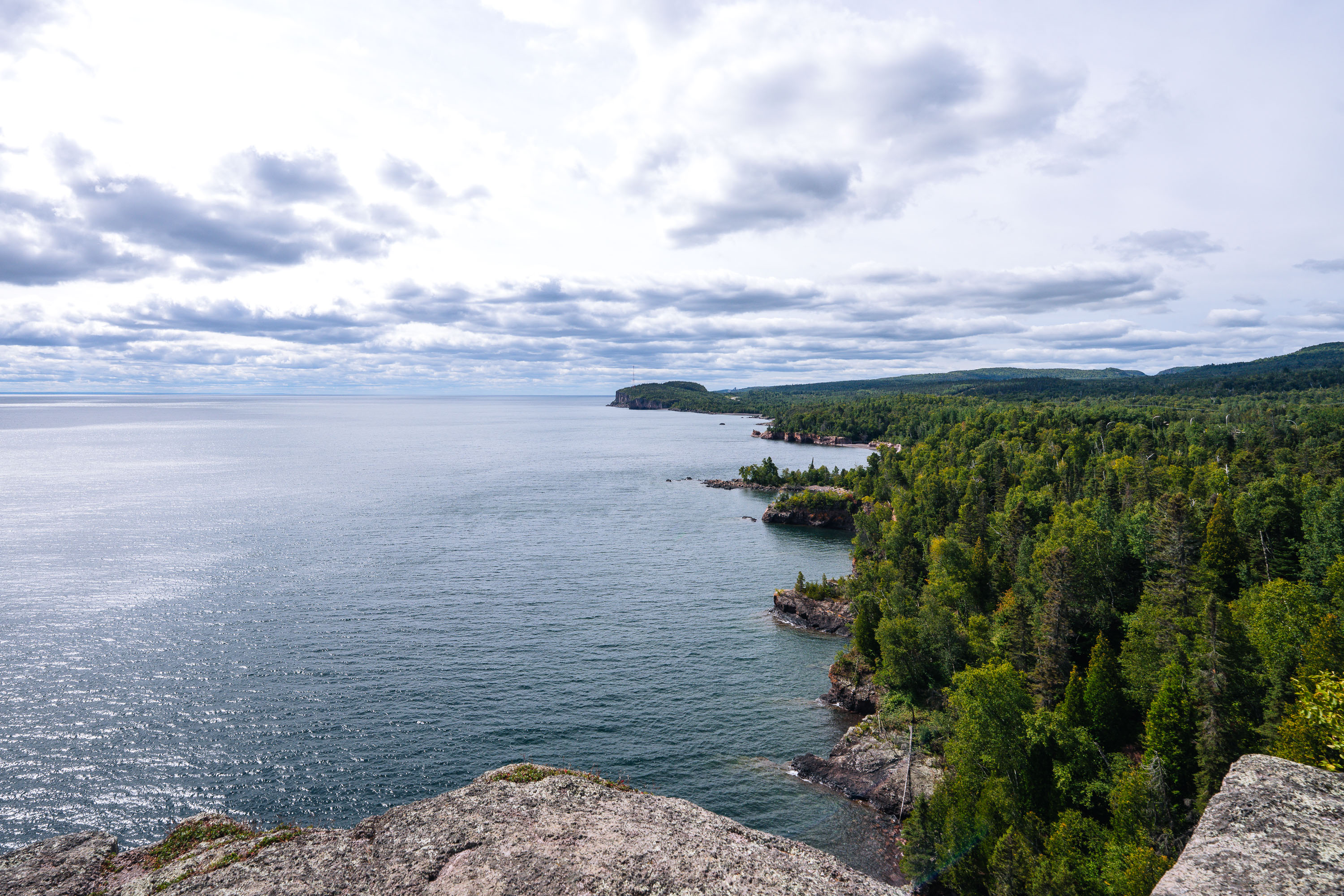
Rocky shoreline with boreal forest meets Lake Superior at Shovel Point in Tettegouche State Park, Minnesota.
Tettegouche State Park runs along more than six miles of Lake Superior shoreline near the mouth of the Baptism River in Minnesota's North Shore region. Its cliffs, formed from ancient volcanic rock, rank among the highest points on the state's Lake Superior coast. Established in 1979, the park covers roughly 9,600 acres of boreal forest, inland lakes, and shoreline. Shovel Point, a rhyolite headland reached by a mile-long trail, is one of the park's best-known overlooks, along with nearby Palisade Head.

Shovel Point Overlook at Tettegouche State Park
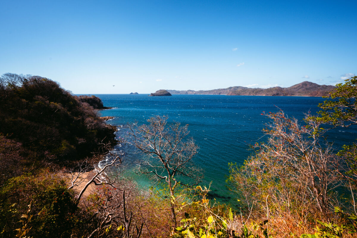
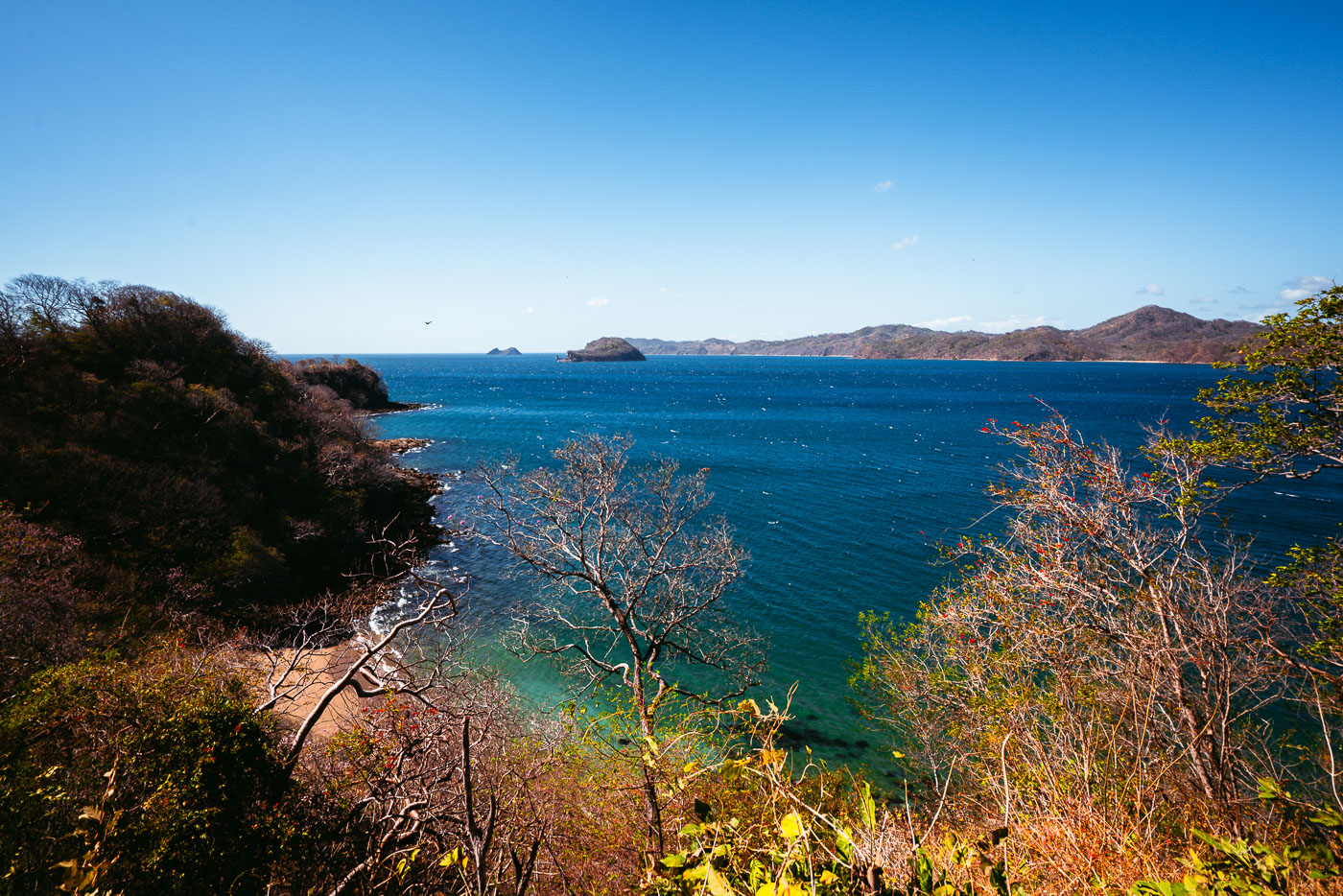
Rocky islets and the Pacific coastline visible from Mirador Junquillal overlook in Costa Rica.
Punta Junquillal sits along the Pacific coast of Guanacaste Province, within the Nicoya Peninsula's dry tropical forest zone. The small rock islets offshore are typical of this stretch of coastline, formed by volcanic rock resistant to erosion while softer surrounding material wore away over time. The surrounding dry forest sheds its leaves seasonally, usually from December through April, as trees conserve water during Guanacaste's pronounced dry season. This region's combination of rocky points and sheltered coves has made it a draw for both small-scale fishing communities and coastal tourism in recent decades.

Small Islets Off Punta Junquillal, Guanacaste
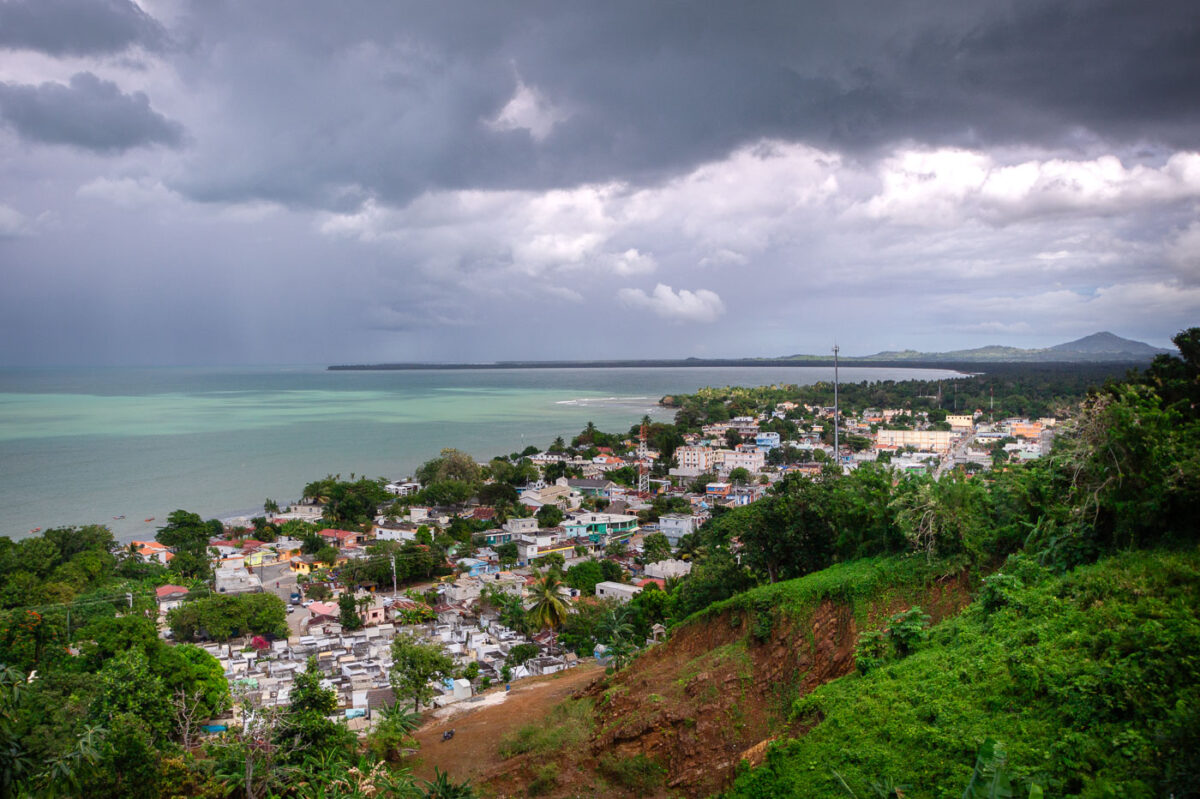
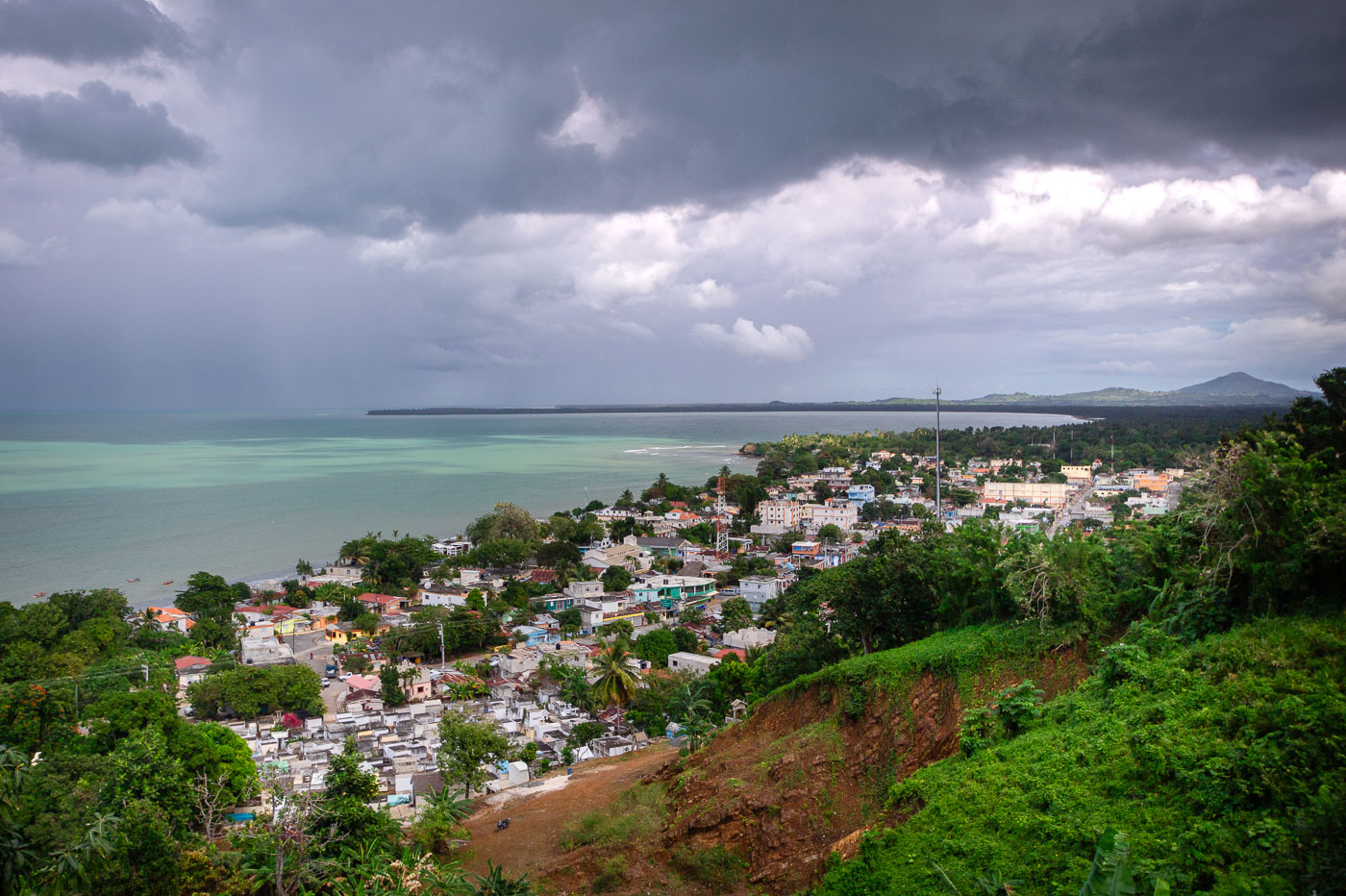
Coastal town of Miches in El Seibo Province spreads across the shoreline of Samaná Bay beneath approaching storm clouds.
Miches, in El Seibo Province on the northeastern coast of the Dominican Republic, is shown from an elevated overlook above the town and the shoreline of Samaná Bay. The foreground includes the town cemetery, while the settlement extends along the curving coast below a line of rain and heavy storm clouds moving across the bay.

Overlook Above Miches and Samaná Bay
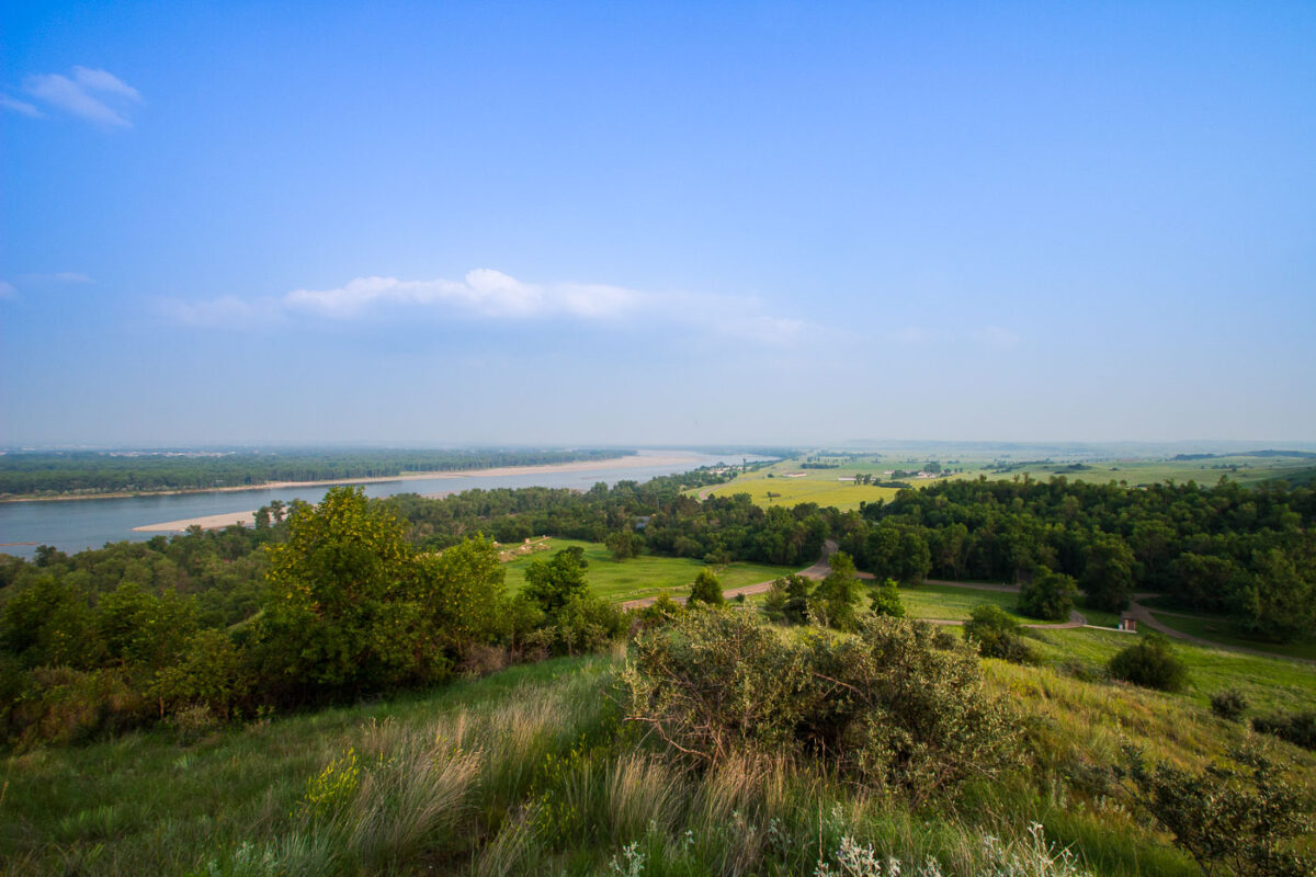
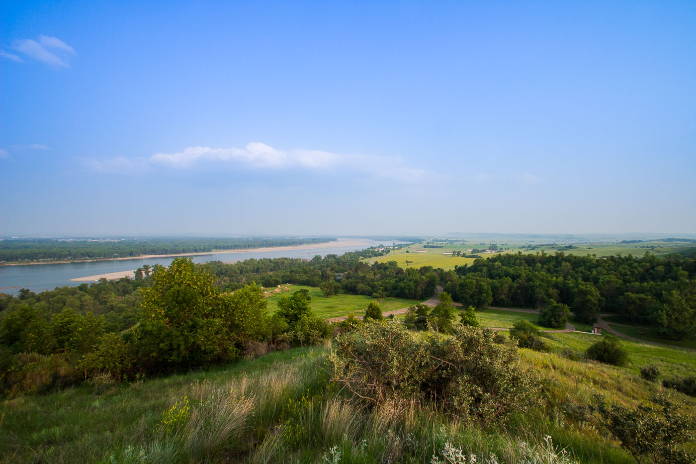
Fort Abraham Lincoln State Park overlook above the Missouri River valley in North Dakota.
Fort Abraham Lincoln State Park sits along the Missouri River south of Mandan, North Dakota, preserving the grounds of a military post established in 1872. The fort served as headquarters for the 7th Cavalry under Lieutenant Colonel George Armstrong Custer before his final campaign in 1876. The park also contains reconstructed earthlodges from On-A-Slant Village, a Mandan settlement occupied from roughly 1575 to 1781. North Dakota's state parks system acquired the site in 1907, making it one of the state's oldest parks. The Missouri River below has long marked a key route for trade and travel across the northern Plains.

Missouri River Valley From Fort Abraham Lincoln State Park
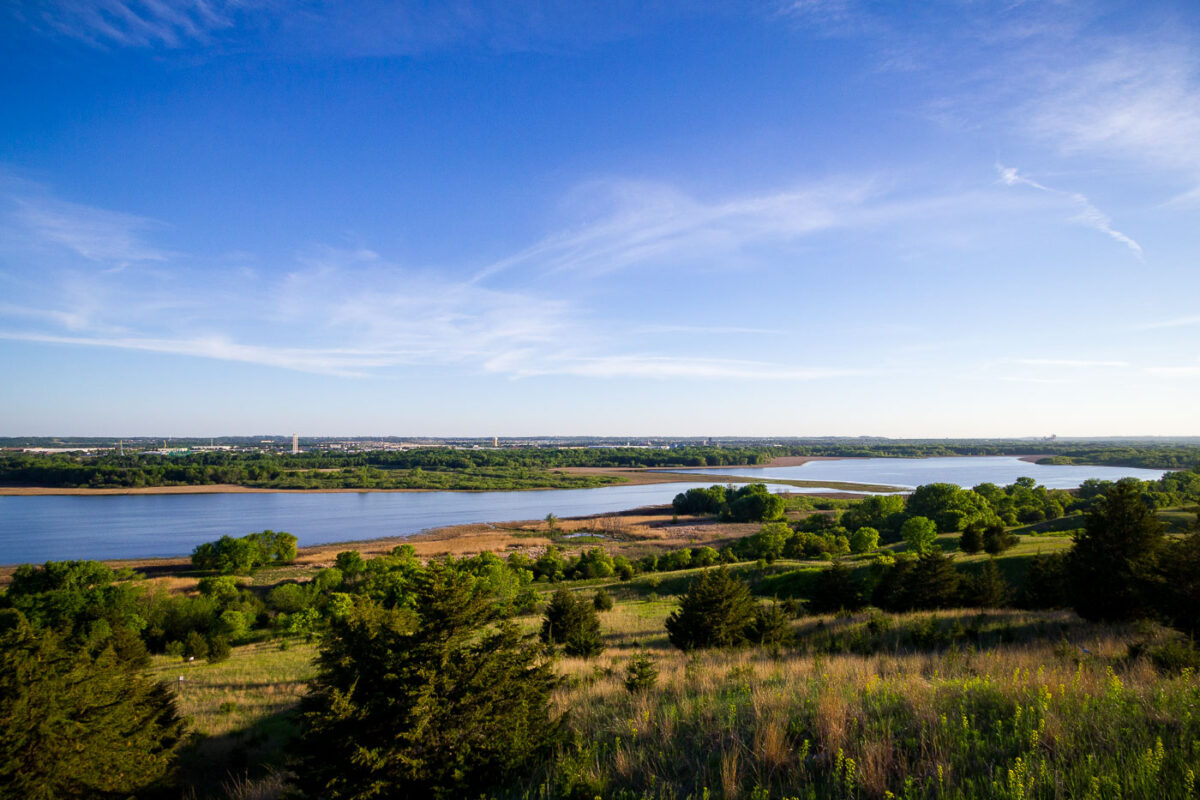
Minnesota River Valley overlook in Eden Prairie with river bends, wetlands, and wooded bluffs.
Minnesota River Valley overlook in Eden Prairie, Minnesota, overlooks the river corridor and adjoining floodplain. The area includes wetlands, wooded bluffs, and open river bends along the Minnesota River. The overlook provides a high vantage point over the southwest metropolitan river valley.

Minnesota River Valley Overlook, Eden Prairie