Freeway

6 photos · 2020–2024

6 photographs tagged Freeway, 2020–2024.
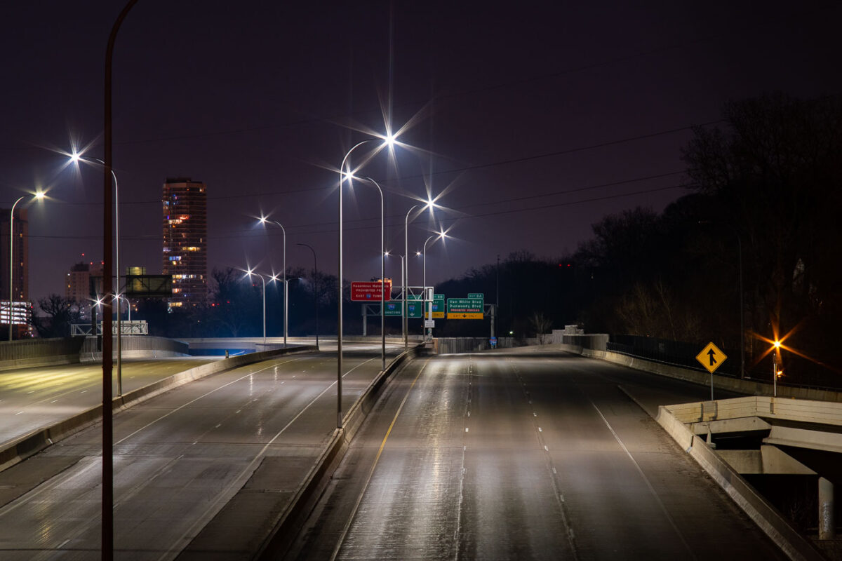
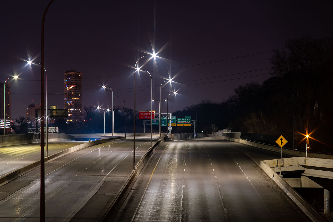
Interstate 394 in Minneapolis nearly empty at night during COVID-19 lockdown in April 2020.
Interstate 394 connects downtown Minneapolis to the western suburbs, running past the Cedar-Riverside neighborhood and merging with Interstate 94 near the Lowry Hill Tunnel. The freeway opened in stages during the late 1980s and early 1990s, replacing what had long been planned as an inner-city extension of Highway 12. Minnesota's stay-at-home order, in effect from late March through mid-May 2020, cut traffic across the Twin Cities metro to a fraction of normal volumes. Overnight counts on routes like I-394 dropped by more than half compared to pre-pandemic averages during that period.

Interstate 394 Empty During Minneapolis COVID-19 Shutdown
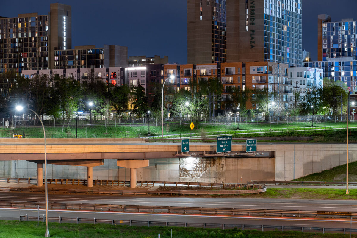
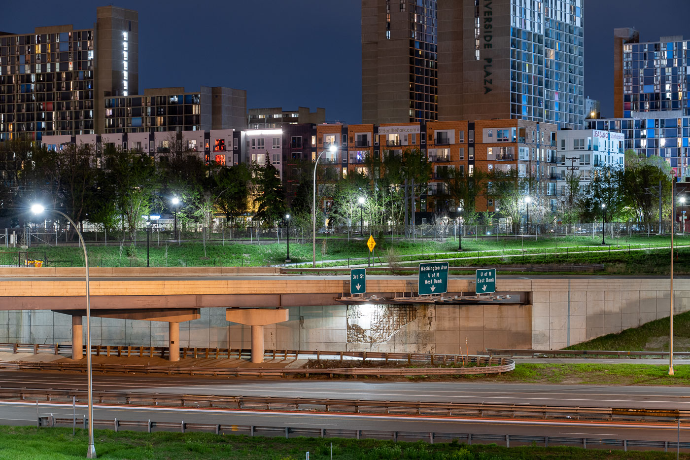
Interstate 35W underpass with Riverside Plaza towers in Cedar-Riverside, Minneapolis.
Interstate 35W passes beneath an overpass at the Cedar-Riverside neighborhood in Minneapolis. Riverside Plaza residential towers rise beyond the freeway corridor, which connects the Twin Cities metropolitan area north and south through downtown Minneapolis.

Interstate 35W at Cedar-Riverside, Minneapolis
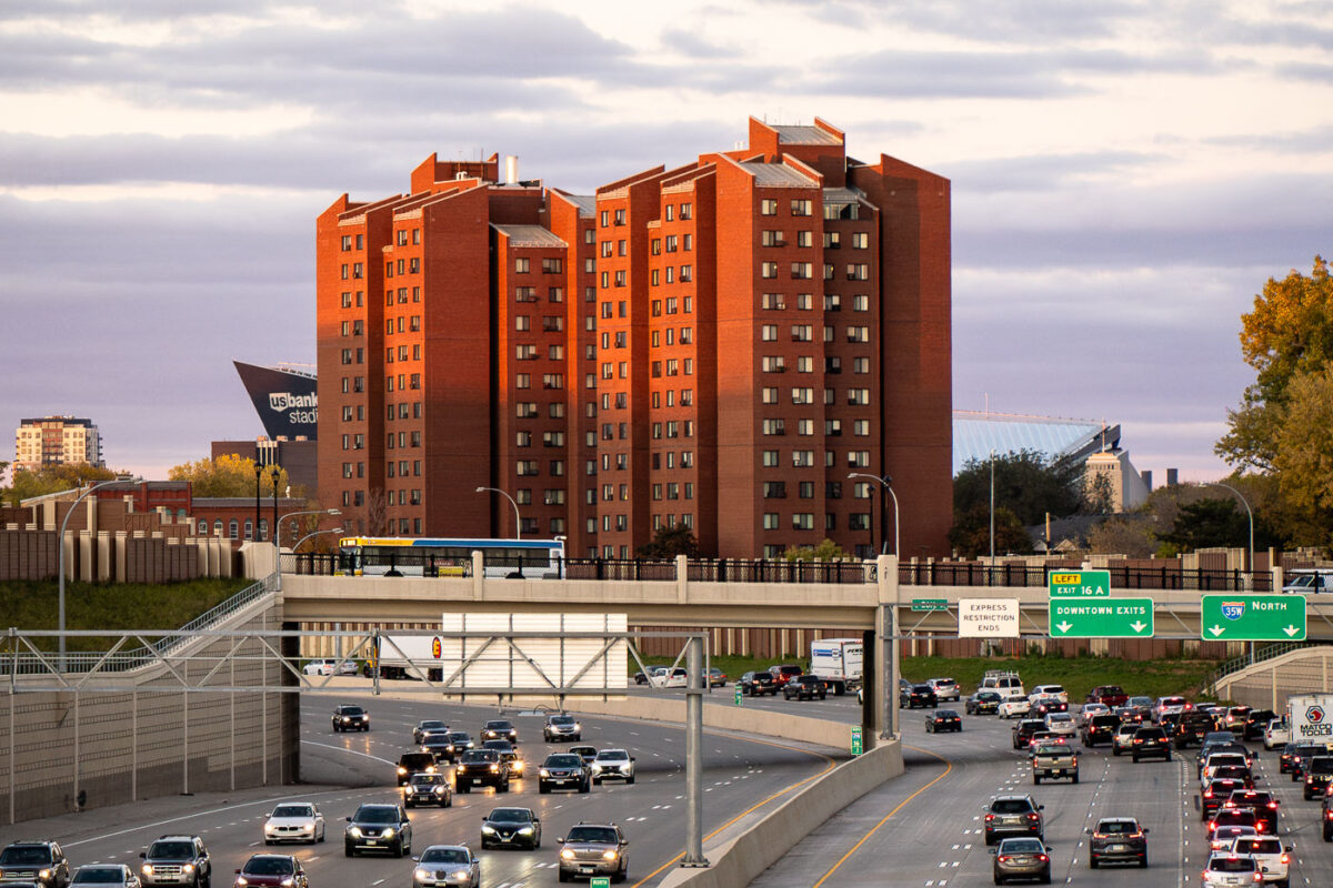
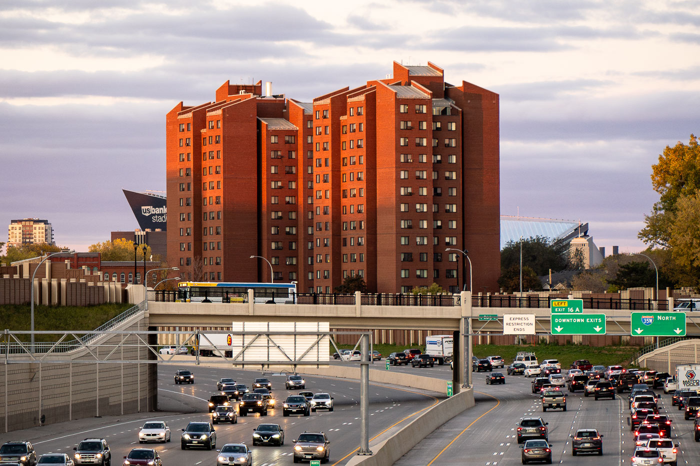
Fifth Avenue High-Rise public housing tower stands near Interstate 35W in Minneapolis, with U.S. Bank Stadium nearby.
The Fifth Avenue High-Rise is a Minneapolis Public Housing Authority property completed in the early 1970s, built to provide affordable apartments for seniors and residents with disabilities. It stands near Interstate 35W, just east of downtown Minneapolis, within a cluster of similar residential towers built during the same period of public housing construction. U.S. Bank Stadium, home of the Minnesota Vikings since 2016, sits nearby along the eastern edge of downtown.

Fifth Avenue High-Rise Public Housing Tower, Minneapolis
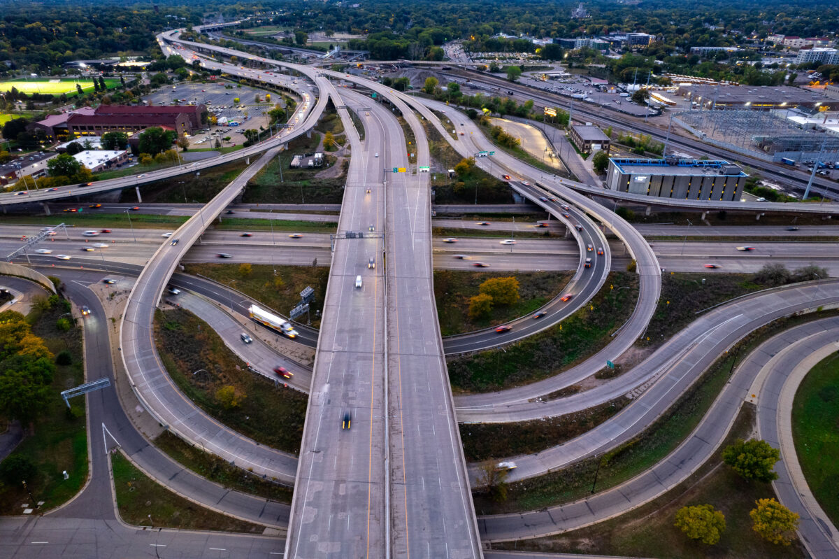
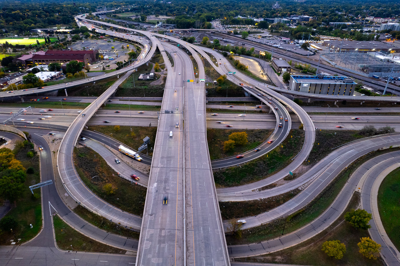
I-35W and I-94 interchange in Minneapolis with multiple freeway ramps.
I-35W and I-94 near downtown Minneapolis. The interchange connects two of the Twin Cities’ major freeways and carries traffic through the western edge of the city.

I-35W and I-94 interchange, Minneapolis
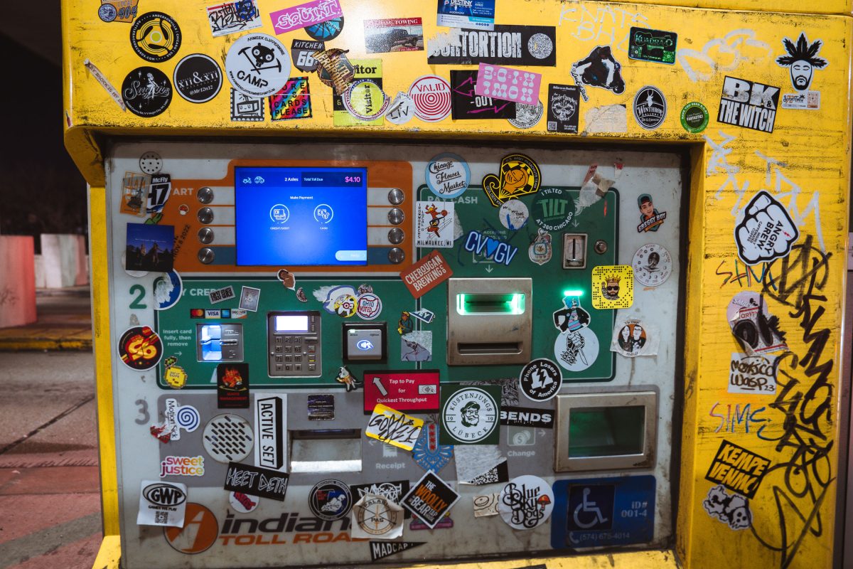
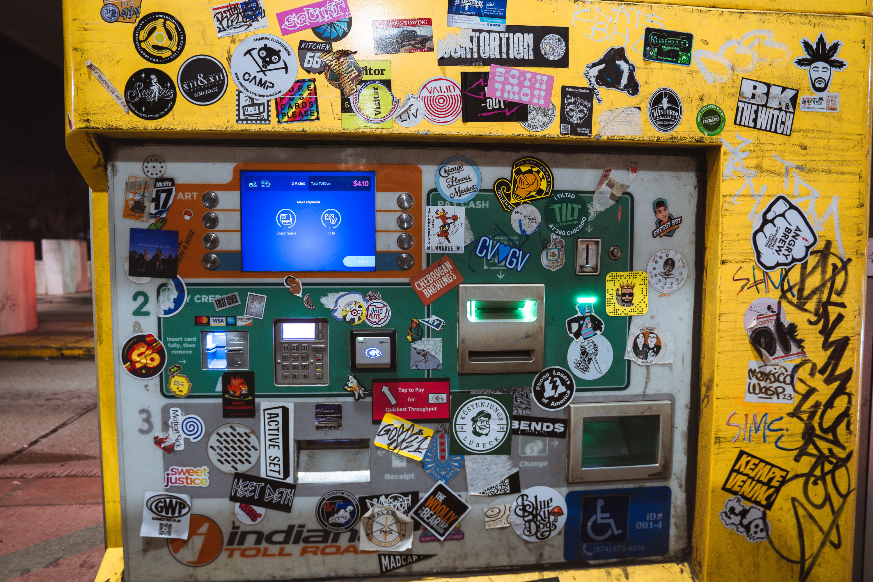
Yellow toll booth covered with stickers and graffiti at Westpoint Toll Plaza on Interstate 90 in Indiana.
The Indiana Toll Road carries Interstate 90 for 157 miles across the northern part of the state, connecting the Chicago Skyway to the Ohio Turnpike. Westpoint Toll Plaza is one of several stations along the route where drivers pay to use the roadway, a system in place since the highway opened in 1956. Electronic tolling equipment has since been added alongside traditional payment booths, and many of the plaza's structures carry decades of stickers and graffiti left by travelers passing through.

Sticker-Covered Toll Booth, Indiana Toll Road (I-90)
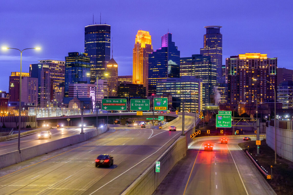
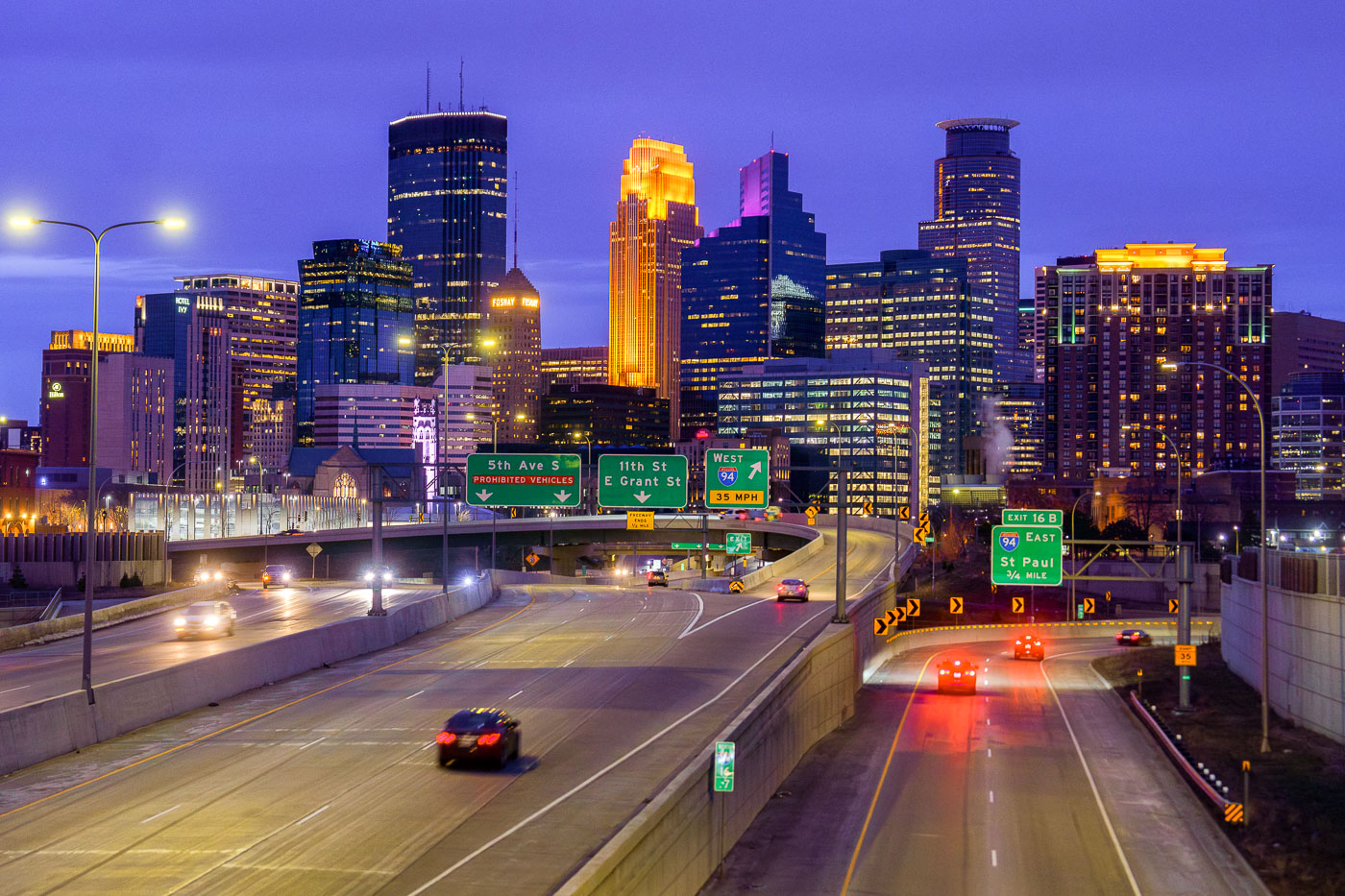
Minneapolis skyline from I35W in April 2024
The Downtown Minneapolis skyline rises above Interstate 35W, a vital north-south freeway corridor, as seen in April 2024.

Downtown Minneapolis Skyline from I-35W Bridge, April 2024

Built in Minneapolis

Minneapolis Photographer

Browse by location, move through long-running series, or start with recent work.