Place Archive
Chicago
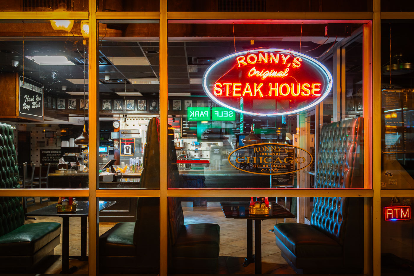
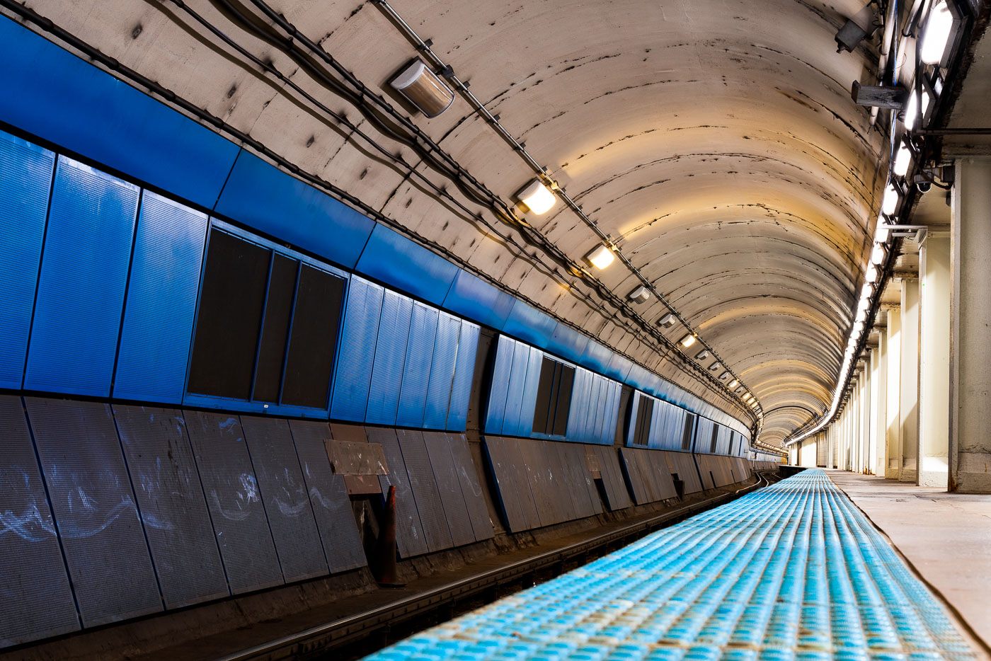
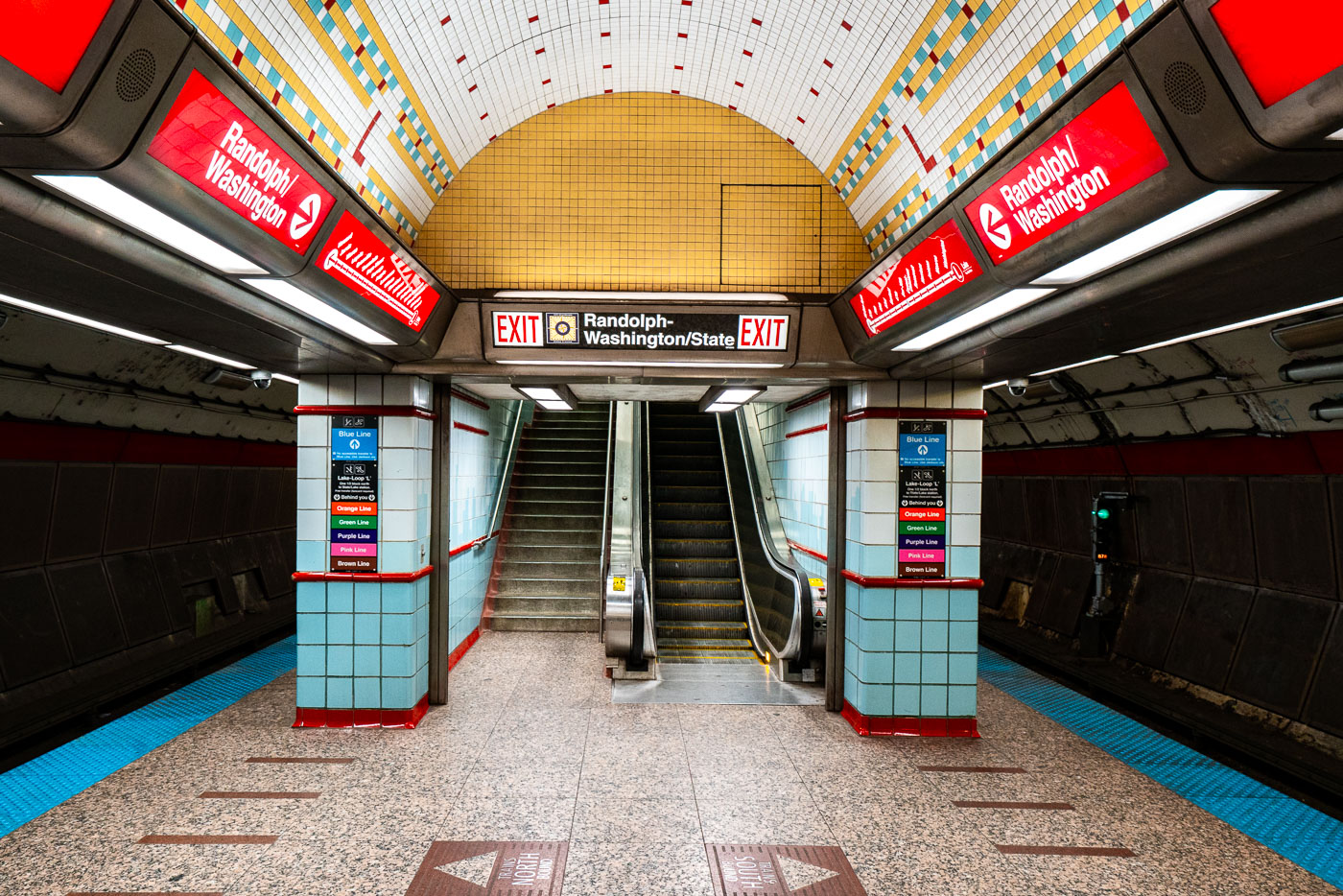
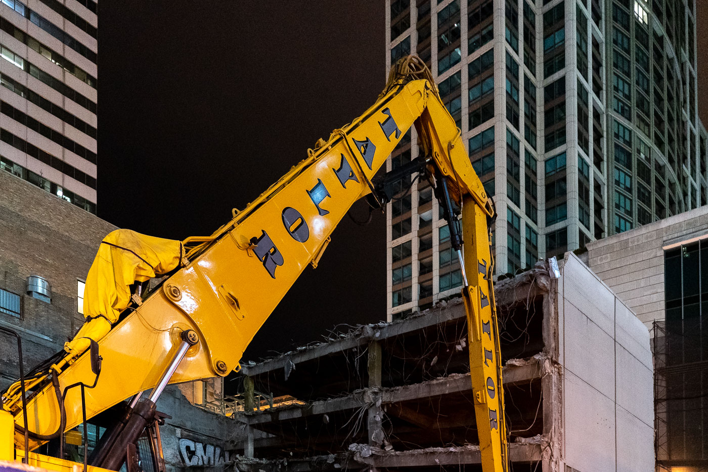
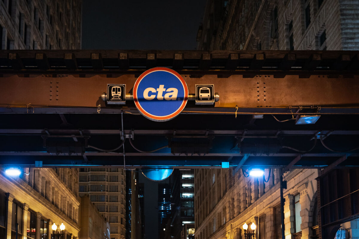
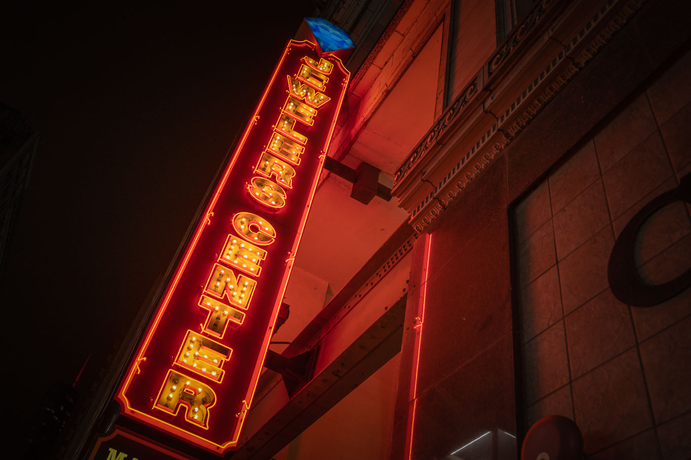
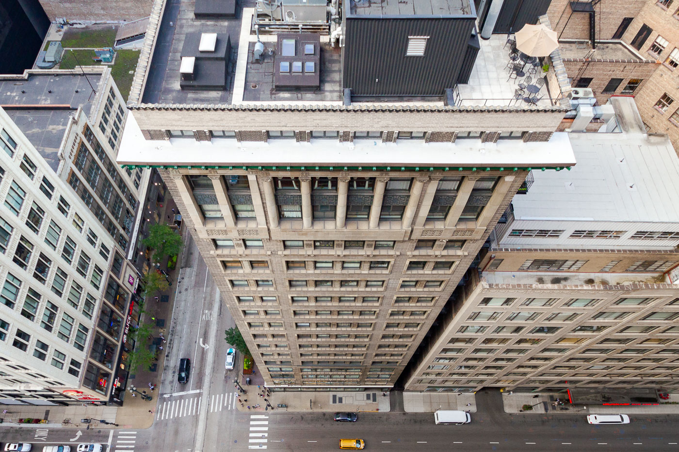
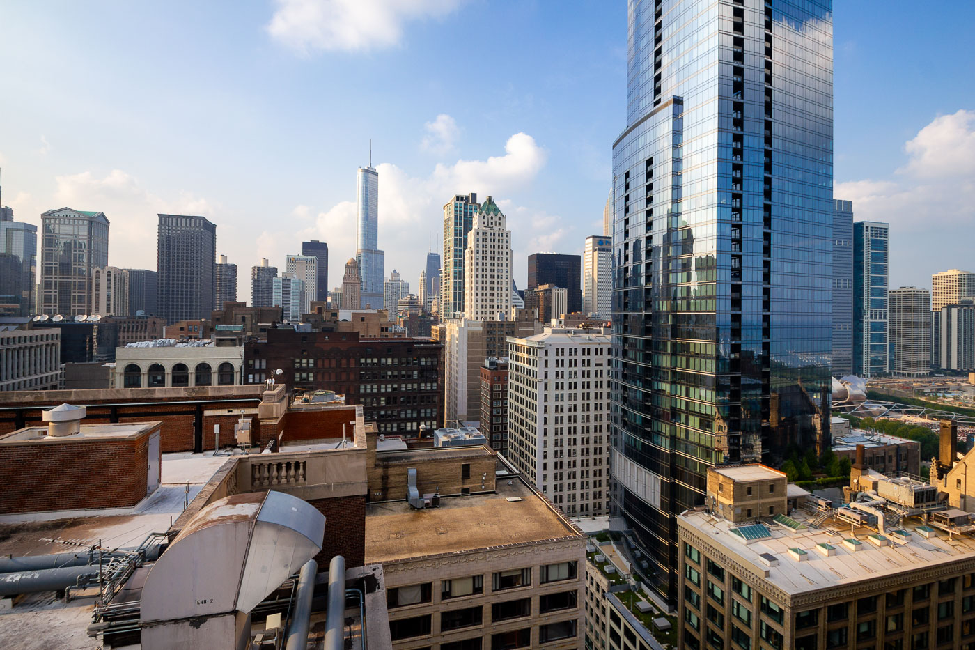
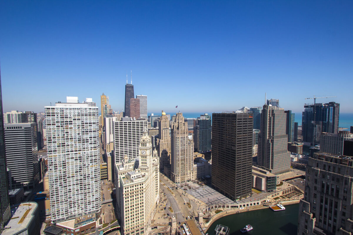
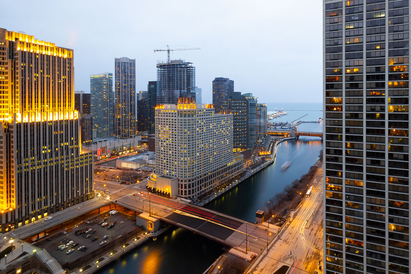
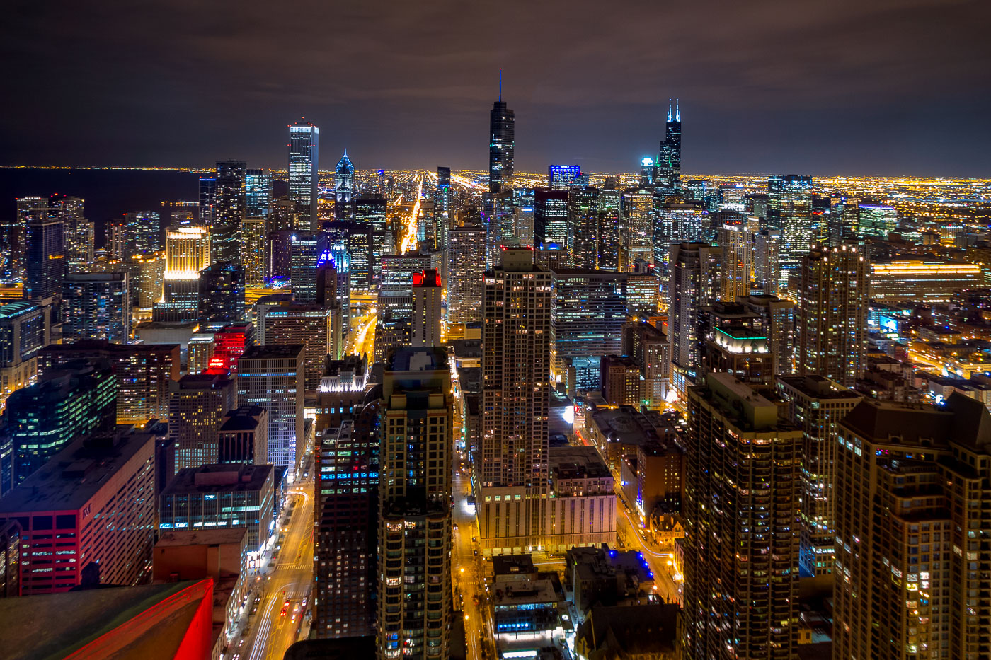
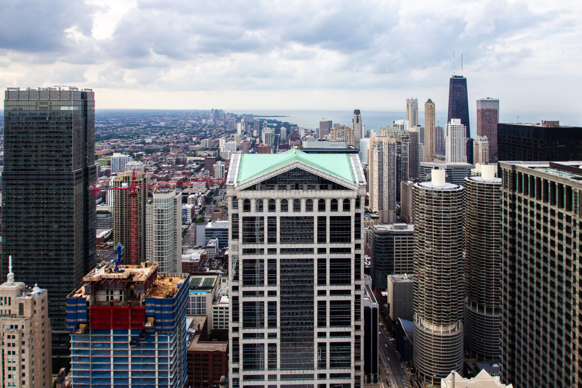
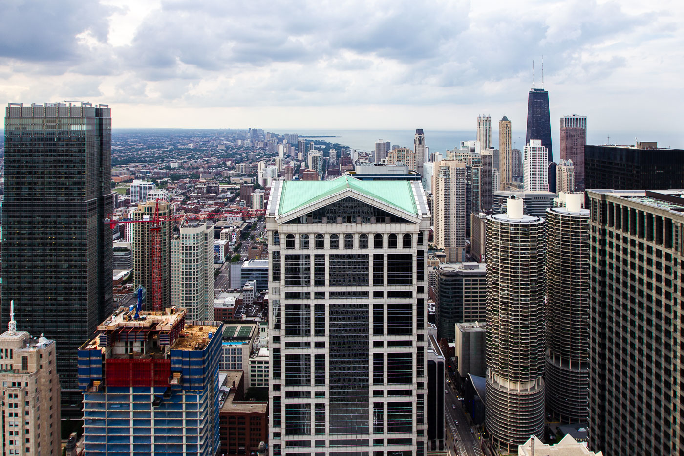
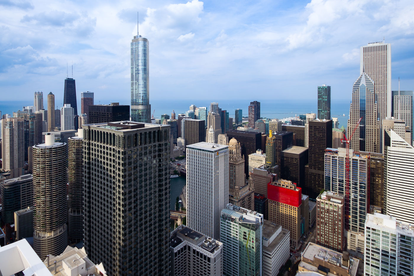
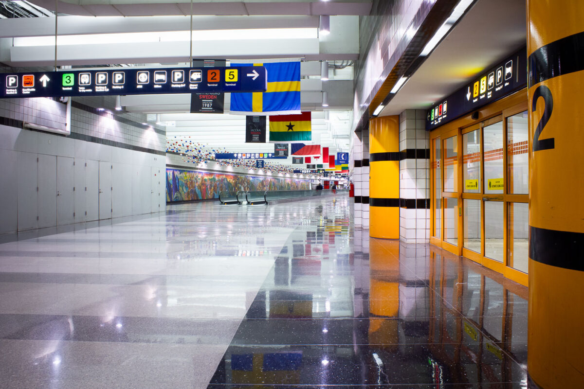
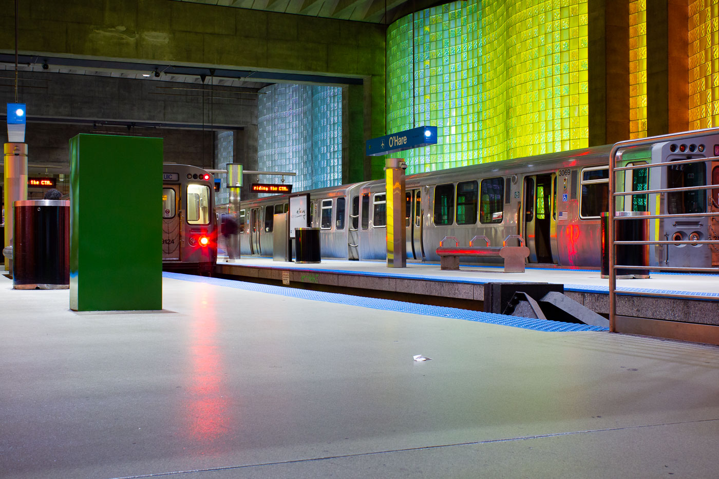
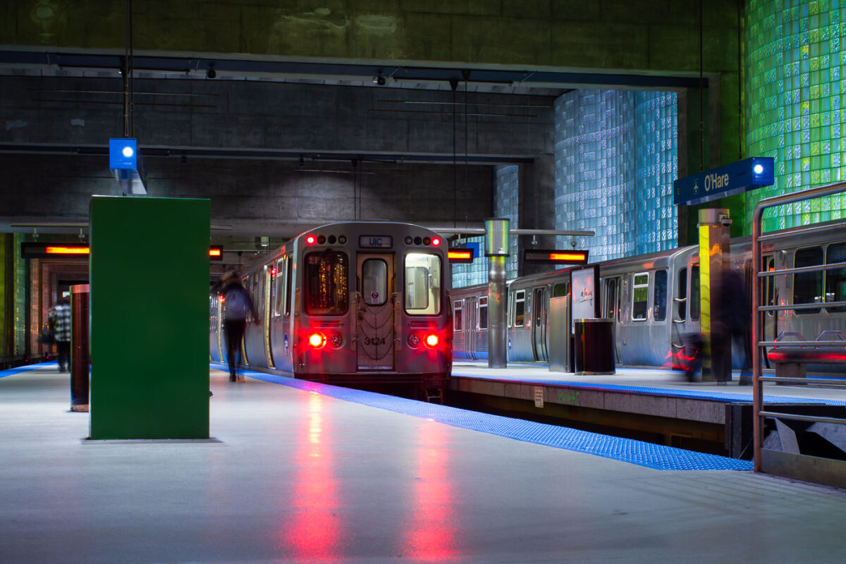
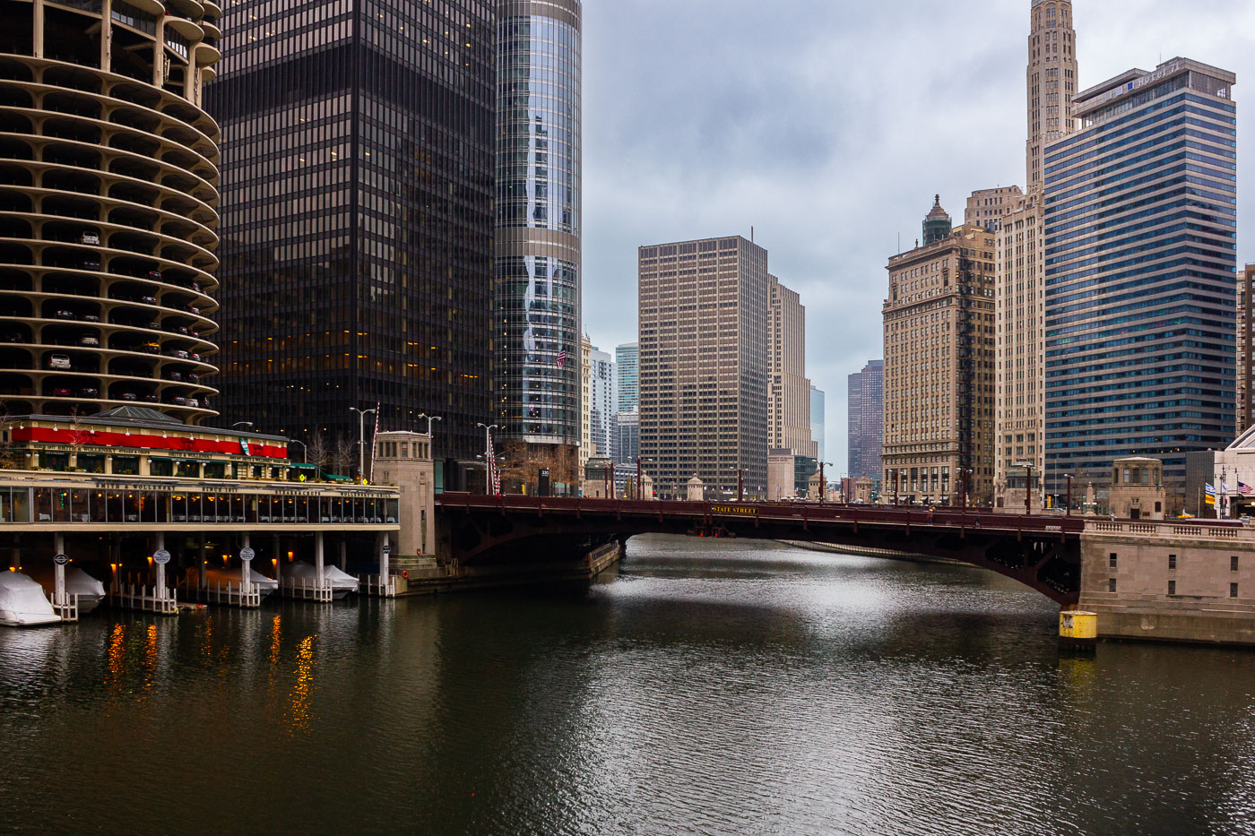
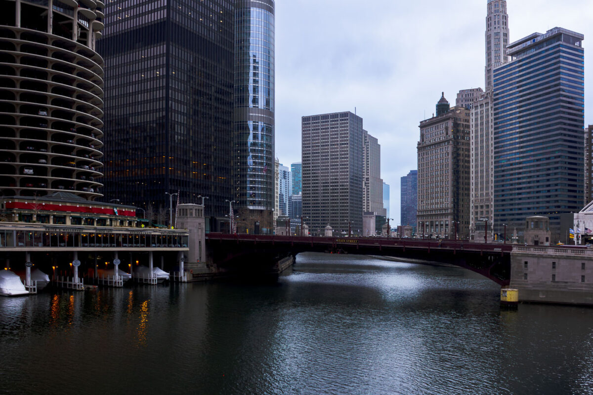
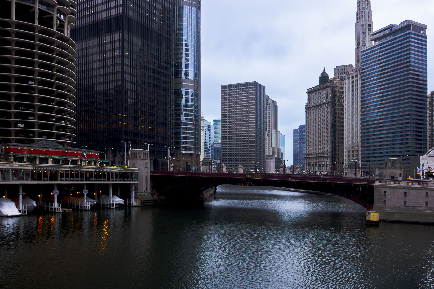
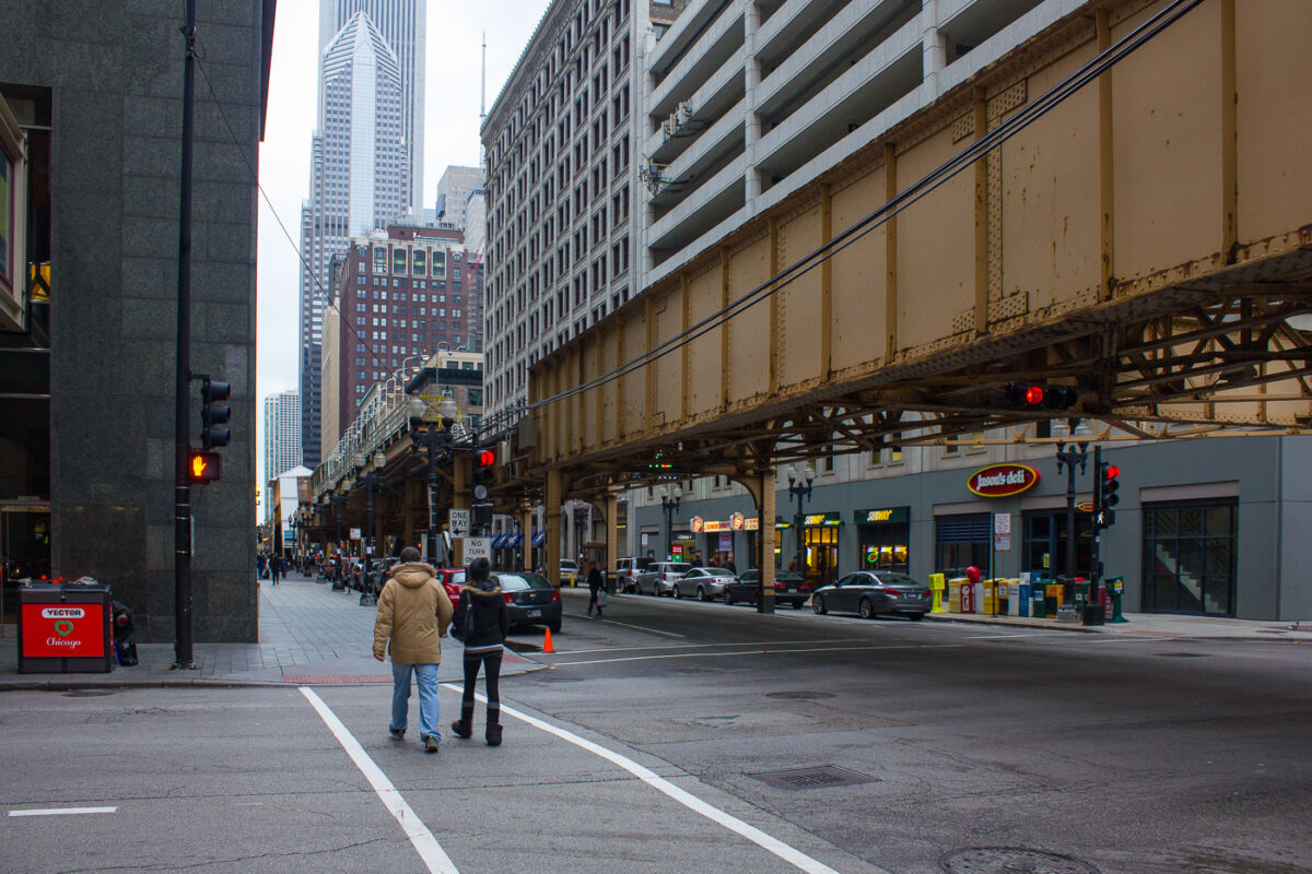
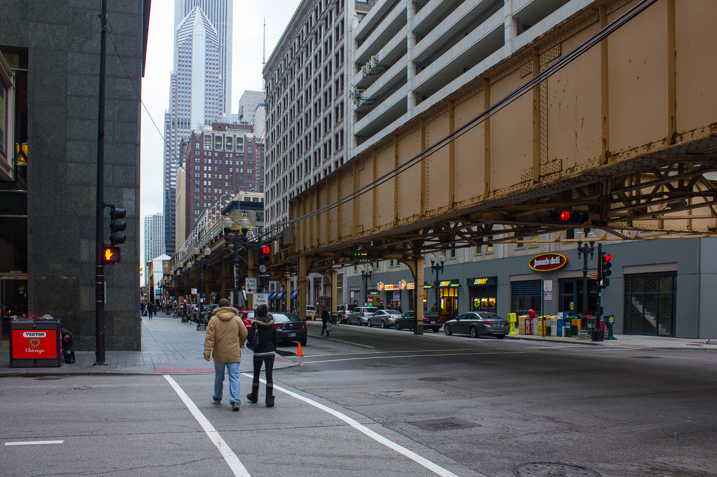
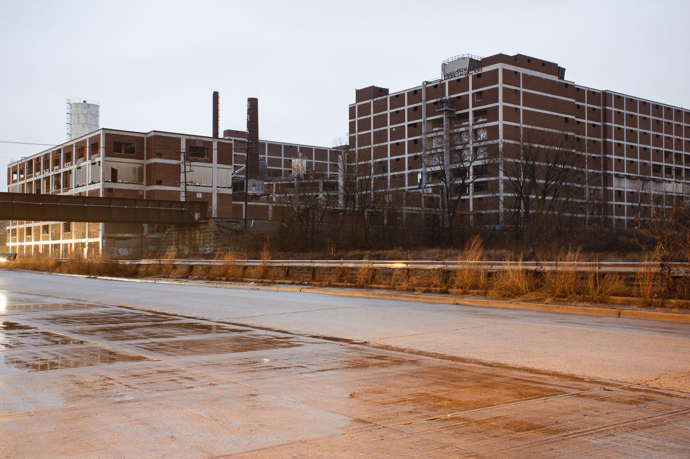
This series documents downtown Chicago, IL with an emphasis on the Loop, the Chicago River corridor, and the city’s transit network. Images show high-rise office and hotel facades, bascule bridges spanning the river, and the multi-level Wacker Drive. Multiple images record active riverfront construction and the removal of mid-century structures alongside retained historic facades. The set also includes subway platforms and stations—Randolph/Washington and Milwaukee–Dearborn (Blue Line)—as well as the elevated "L" structure that defines the Loop. The collection provides a focused record of transit, riverfront access, and architectural change during a period of substantial redevelopment.
Map
Photo Map
Markers
Chicago Photo Locations
24 geotagged photos
Photos


