Map
More from South Dakota

A Lonely Stretch of Highway 44 in Badlands National Park
Highway 44 runs along the southern edge of Badlands National Park, linking the town of Interior to Rapid City and…

Foggy Trail to Black Elk Peak, Black Hills, South Dakota
Black Elk Peak, formerly named Harney Peak, rises to 7,244 feet in South Dakota's Black Hills, making it the highest…

Old Mine Tunnel Carved Into a Black Hills Hillside
This abandoned mine entrance in the Black Hills of South Dakota is a relic of the region's 19th-century gold rush.…

Cathedral Spires, Black Hills, South Dakota, Morning Fog
Low clouds and fog envelop the granite spires of the Cathedral Spires in South Dakota's Black Hills shortly after dawn.…

Foggy Trail to Black Elk Peak, Black Hills, South Dakota
Black Elk Peak, in the Black Hills of South Dakota, rises to 7,244 feet, making it the highest point in…
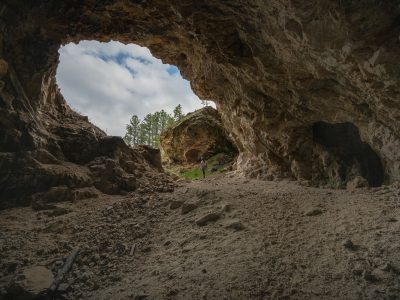
Abandoned Mine Entrance, Black Hills, South Dakota
This natural rock formation, resembling an abandoned mine entrance, is located in the Black Hills region of South Dakota. The…
Nearby Photos